
Great Smoky Mountains
Crossing the GSMNP on Newfound Gap Road
Blue Ridge Parkway to Ashville NC
Today, we are crossing the entire GSMNP on the Newfound Gap Road. We entered the park at the Gatlinburg gate and proceed east for 35 miles, stopping at the Clingman’s Dome (Kuwohi) observation tower, Newfound Gap overlook, and other scenic stops. Then, we enter the Blue Ridge Parkway at its southern terminus and proceed north for 90 miles to Ashville NC.
We awoke to sunshine today. Yay!!
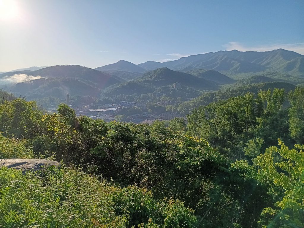
We took the bypass road around Gatlinburg to avoid the bumper to bumper traffic.
This is the view looking back at Gatlinburg. It was also the large picture in the hotel room.
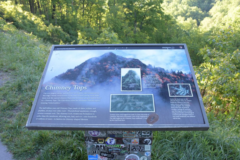
Chimney Tops are several peaks located just a few miles inside the park along the Newfound Gap Road. (see next photo)
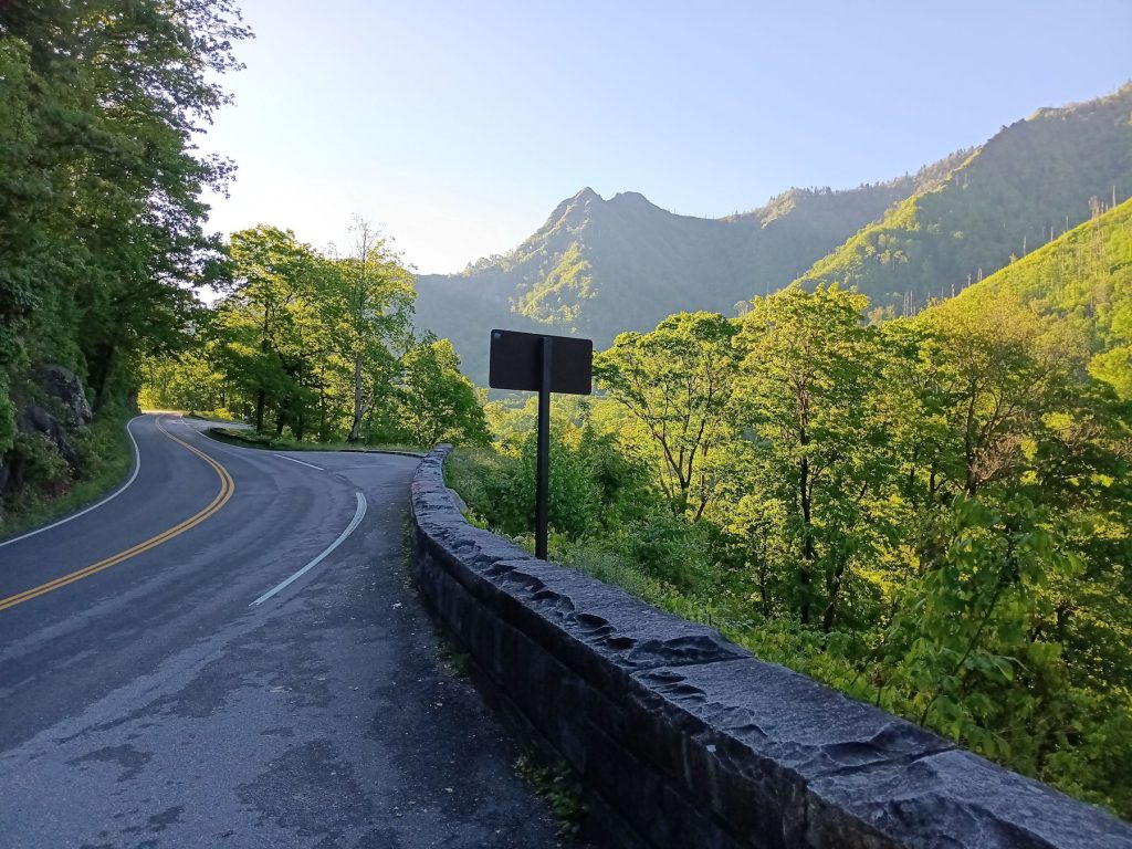
View of the Chimney Tops peaks along the Newfound Gap Road.
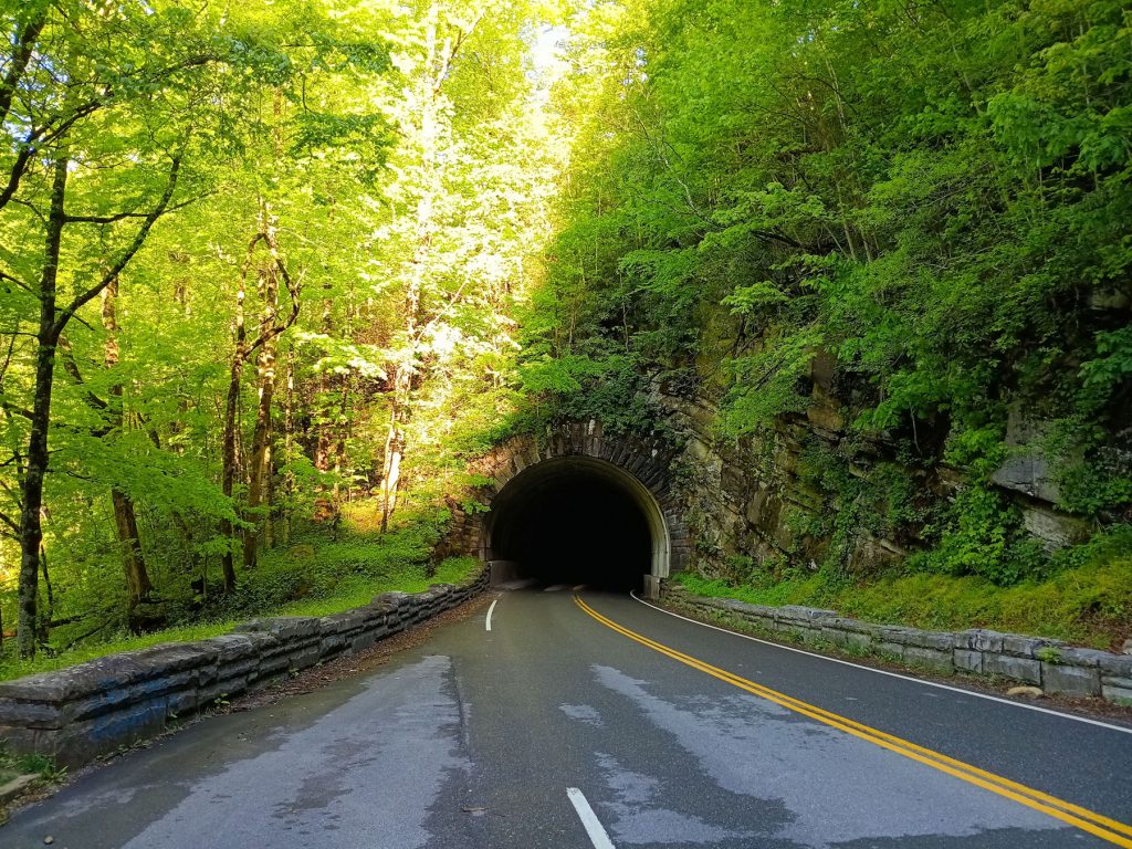
There are several tunnels on the Newfound Gap Road.
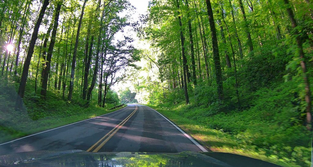
Many parts of the GSMNP reminded us of West Virginia.
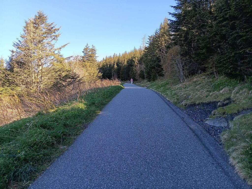
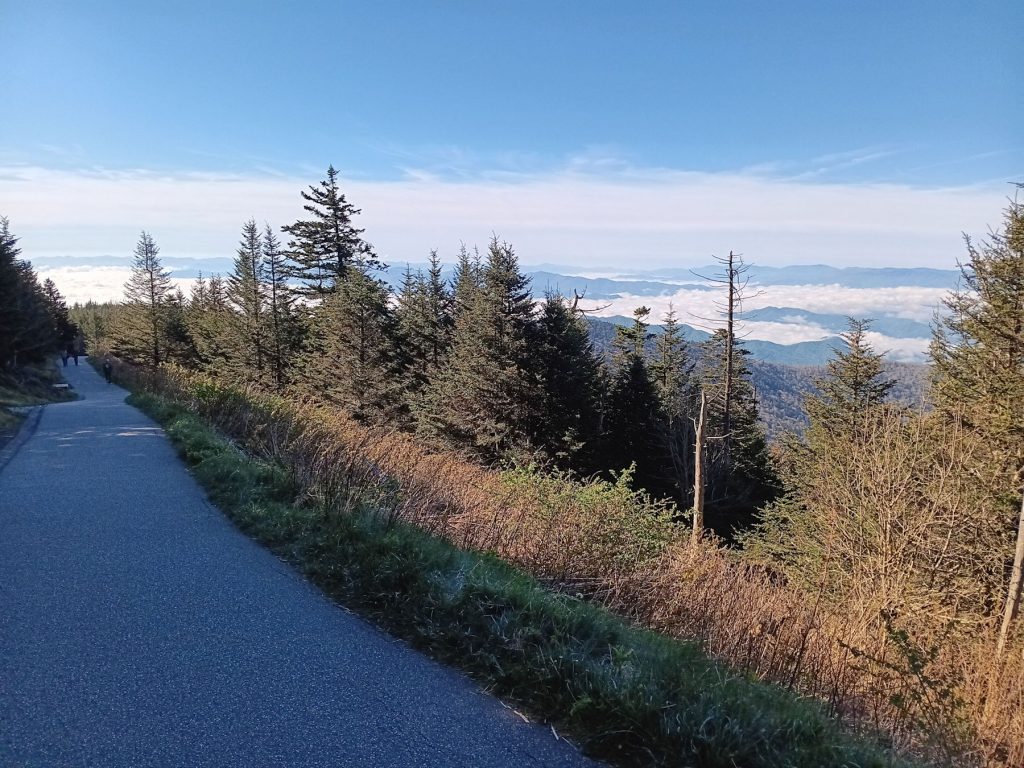
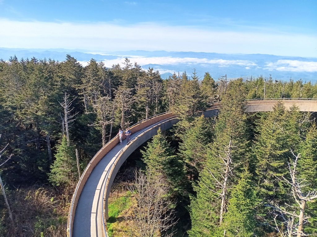
Our next stop, located near the center of the park, was Clingman’s Dome (Kuwohi) observation tower. This landmark destination offers great views in all directions, especially on a clear day like today! But first, you must walk the steep path over a half mile to the tower.
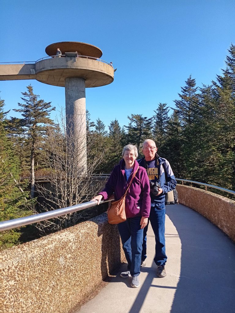
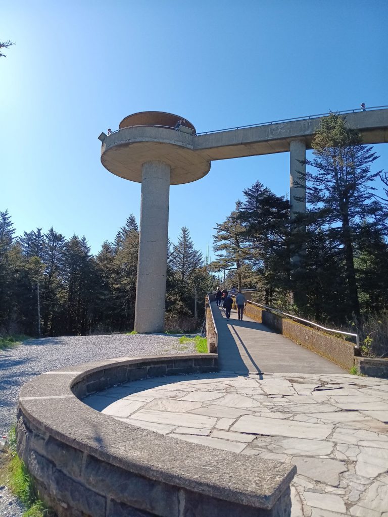
We made it! Now, we must climb the steep circular ramp to the observation deck. Sorry, no elevators.
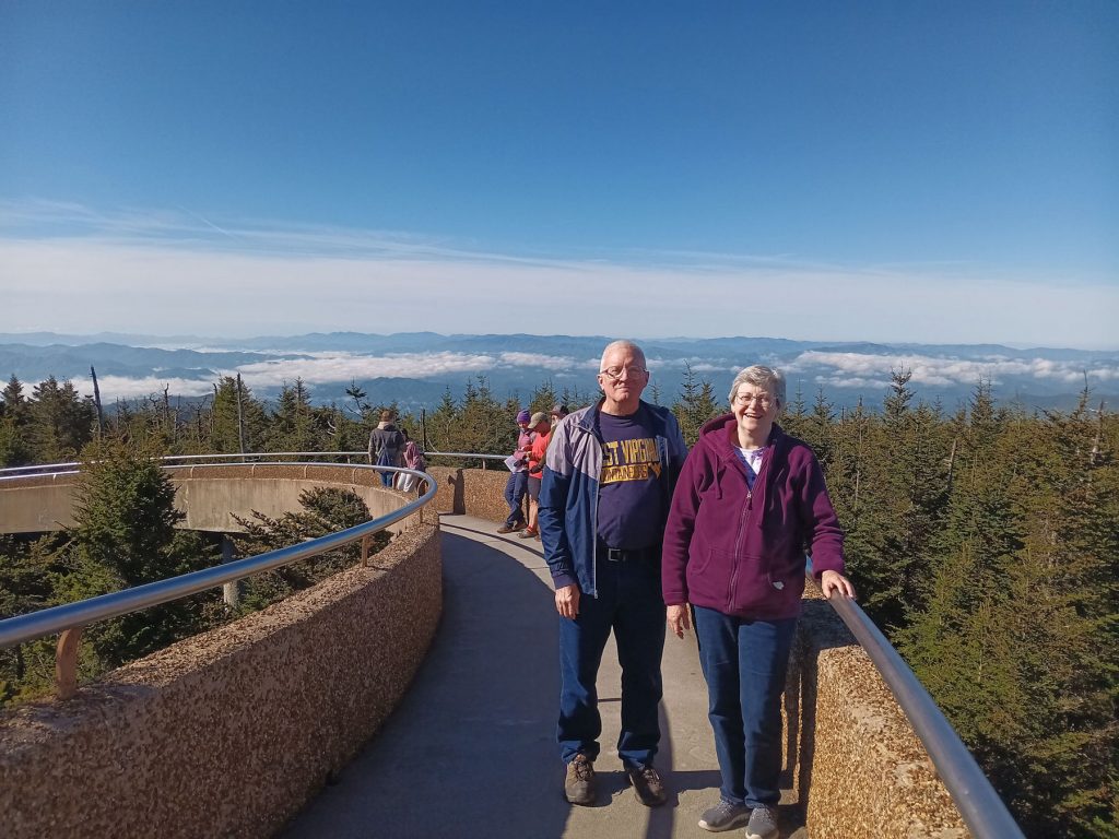
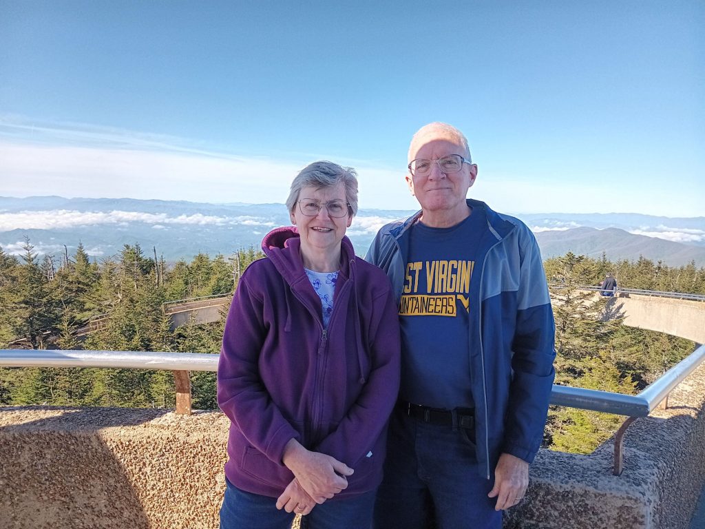
Wonderful view from the top!
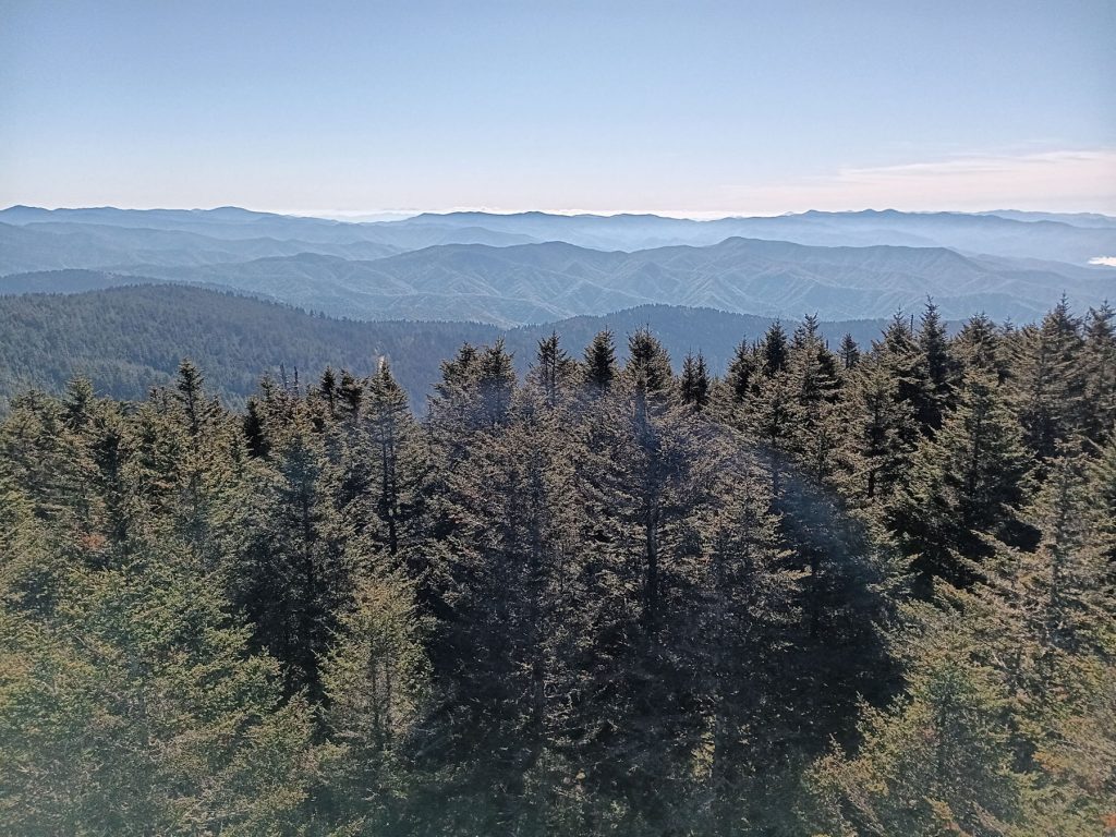
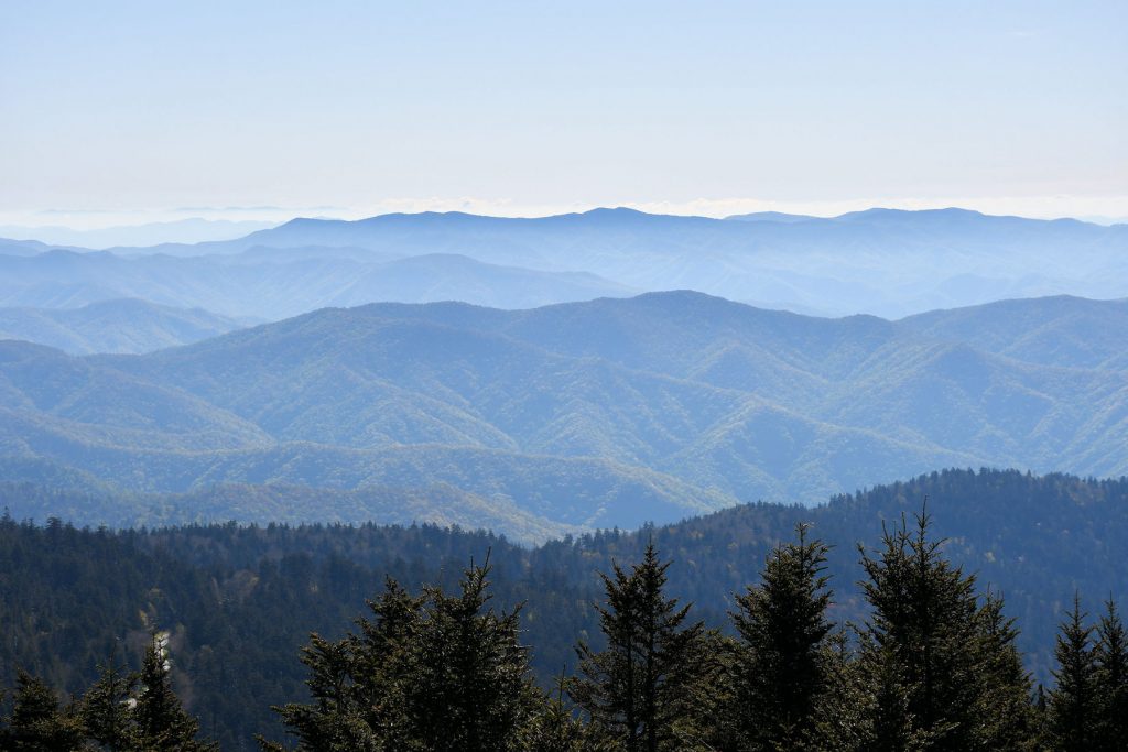
More views from the Clingman’s Dome observation deck.
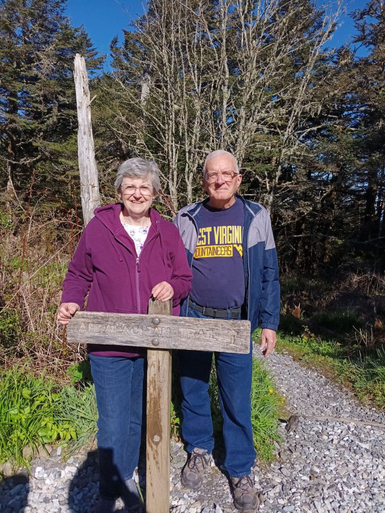
The Appalachian Trail passes through here. We took a few steps.
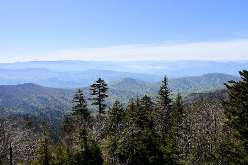
Almost back to the parking lot at Clingman’s Dome.
We can see where the Smoky Mountains got its name.
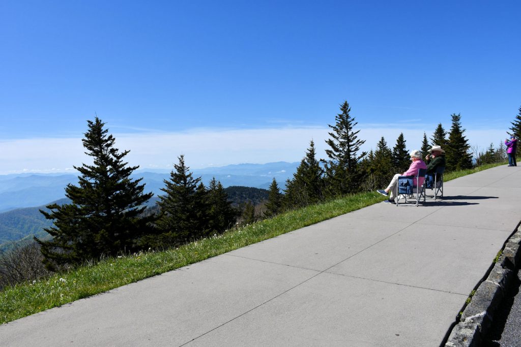
This couple had the right idea – bring a folding chair and enjoy the day.
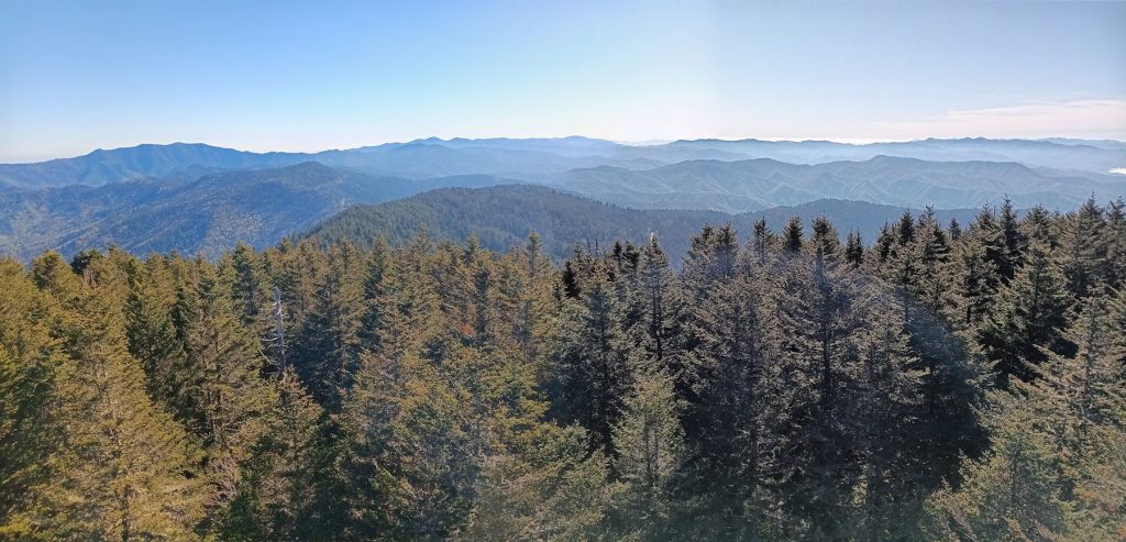
Final view as we leave the parking lot. Time to move on. Our next stop will be Newfound Gap Overlook.
We actually passed it by the entrance to Clingman’s Dome.
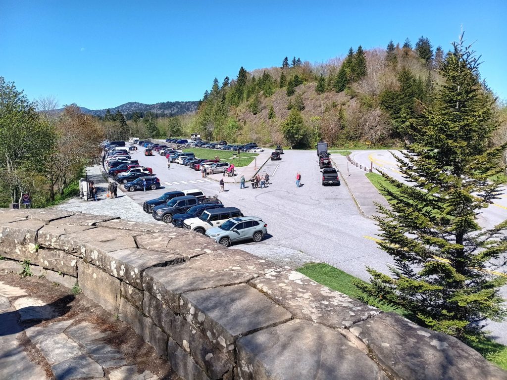
Newfound Gap Overlook parking lot. Like most spots in GSMNP, the parking lots fill up quickly.
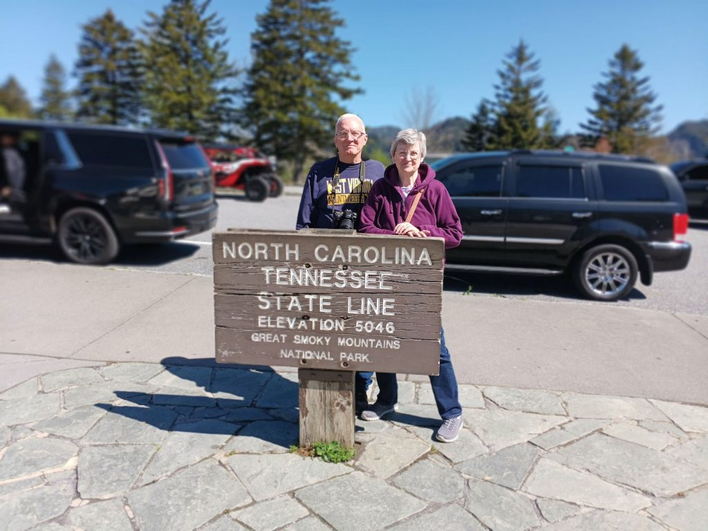
The North Carolina / Tennessee border divides the GSMNP in half. This is in the parking lot of the Newfound Gap Overlook.
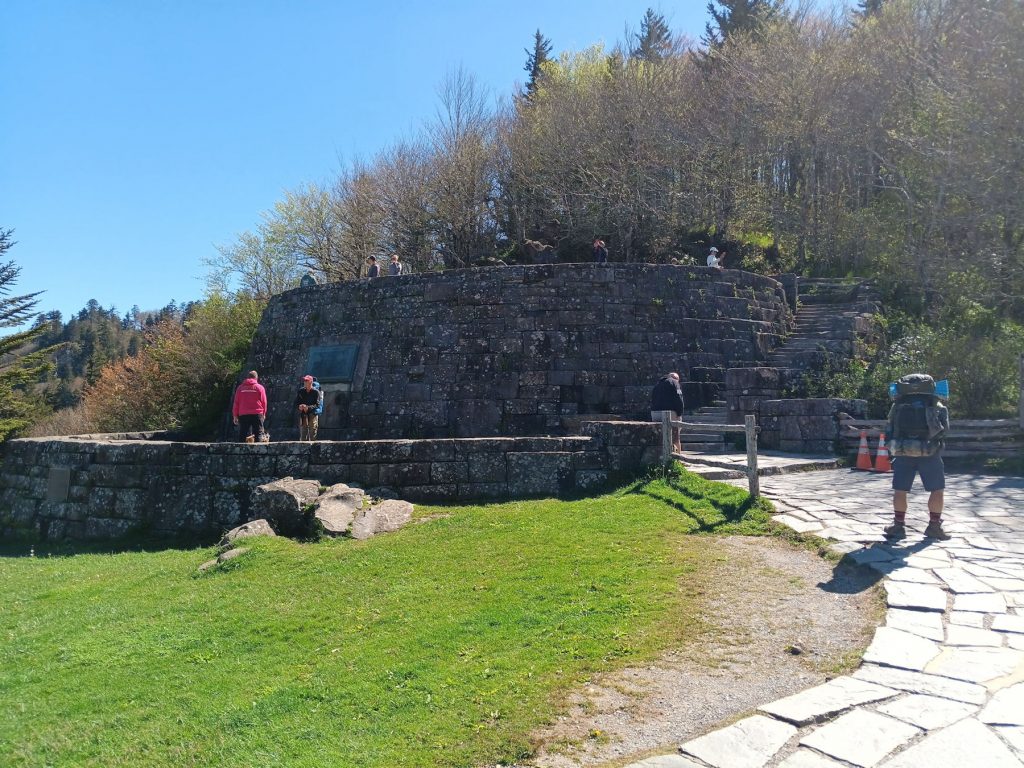
This stone viewing platform was donated by the John D. Rockefeller family in memory of Laura Spelman Rockefeller.
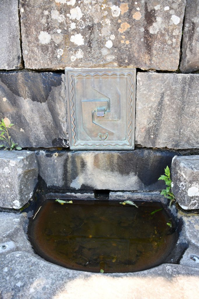
This fountain/bowl was located on the Rockefeller viewing platform. I’m not sure of the significance of the metal plaque.
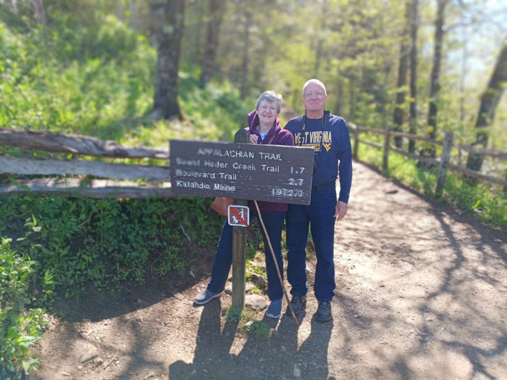
The Appalachian Trail also passes through the parking lot at the Newfound Gap parking lot.
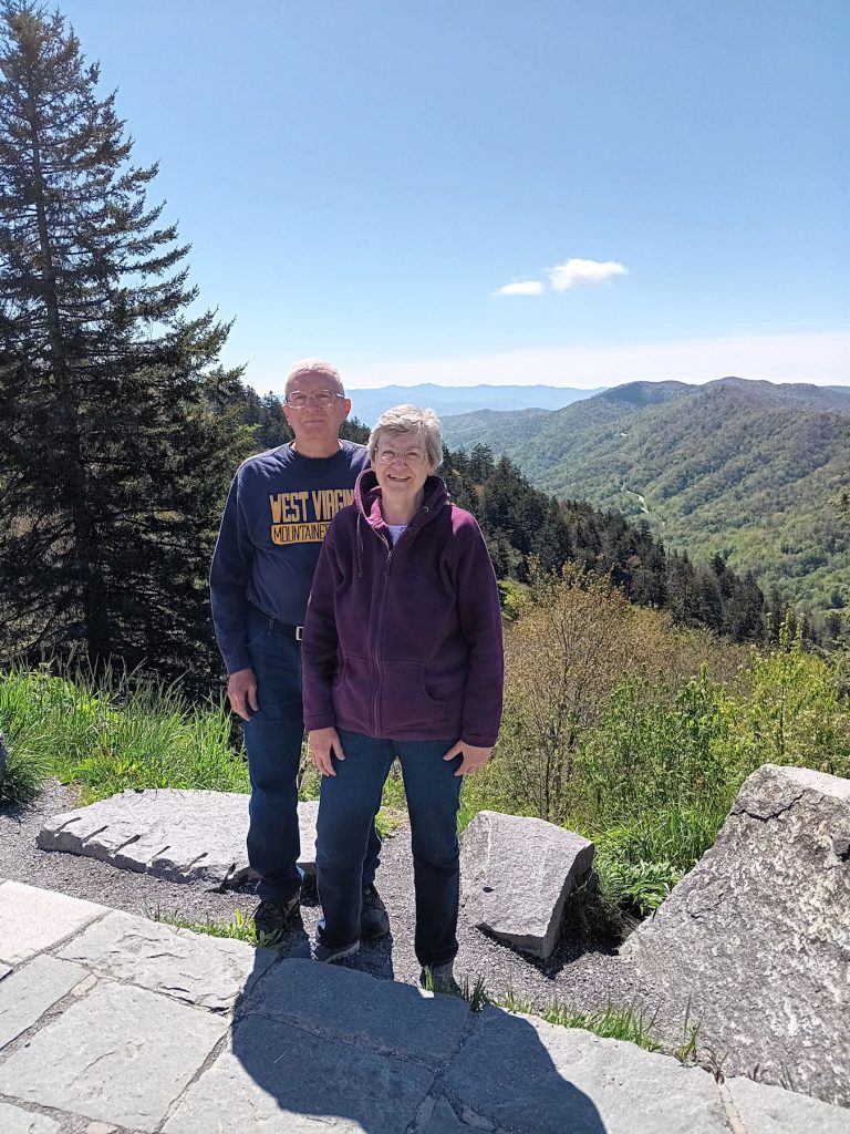
We walked over to the Newfound Gap overlook and enjoyed its wonderful view. Look closely at the mountain on the right and you can see a section of the road we will be taking shortly.
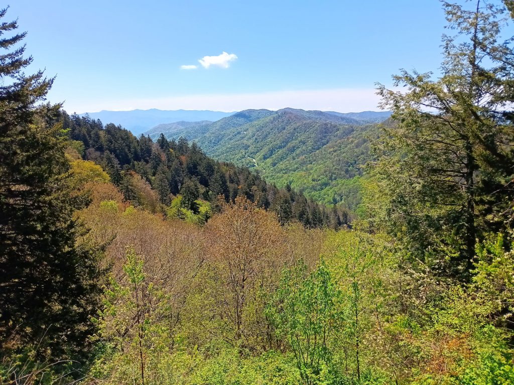
View from the Newfound Gap overlook.
From here, we departed to explore the eastern half of the GSMNP on our way to connect with the Blue Ridge Parkway.
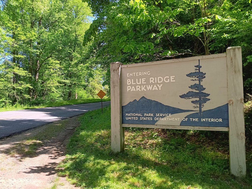
In just about 15 miles later, we were at the eastern entrance to the GSMNP. At this point, we turned onto the south end of the Blue Ridge Parkway, which extends northward for 470 miles to Staunton VA, where it meets the Skyline Drive.
We are starting on Mile Post 470 (with numbers going down as we head north).
Unfortunately, Hurricane Helene ripped through parts of the Blue Ridge Parkway in September 2024. Over 50 miles of the parkway had to be closed for repairs including major rockslides. As of 2026, there are still over 30 miles of the parkway that are closed to traffic. Detours around these areas move traffic onto scenic, but sometimes very narrow and twisty, 2-lane roads.
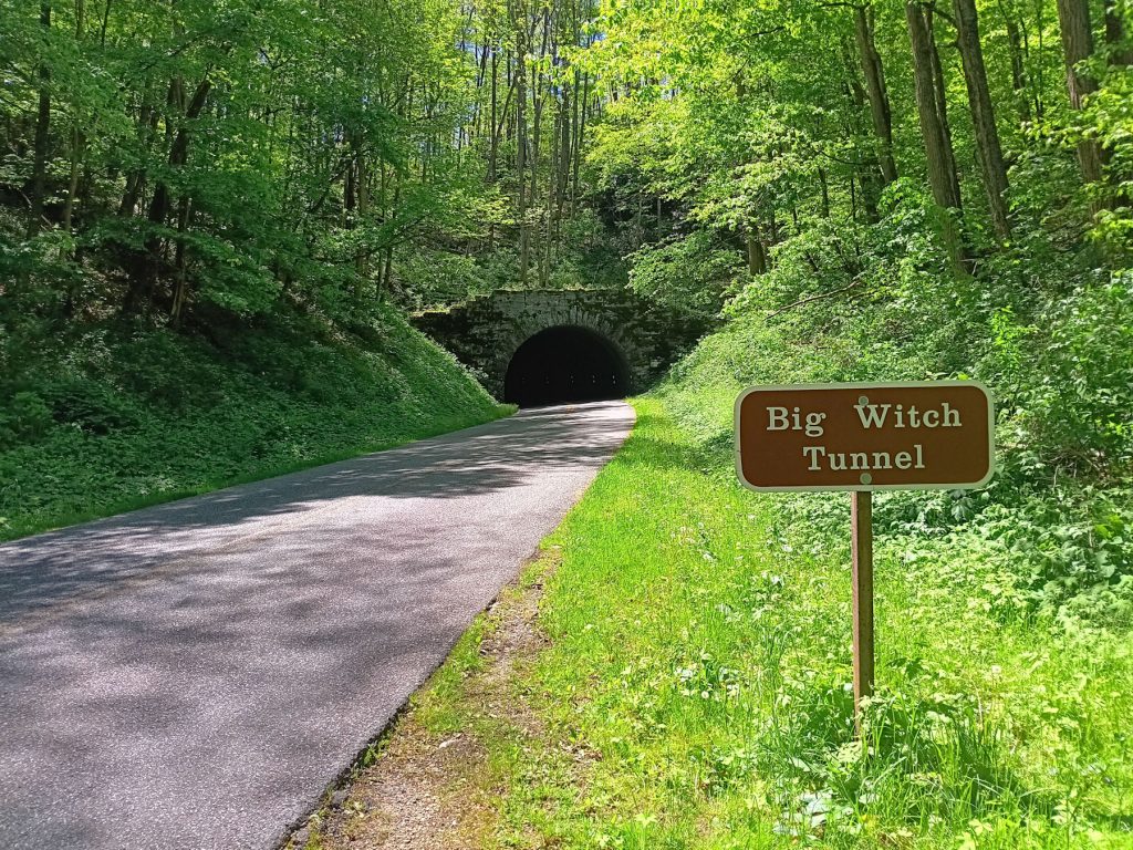
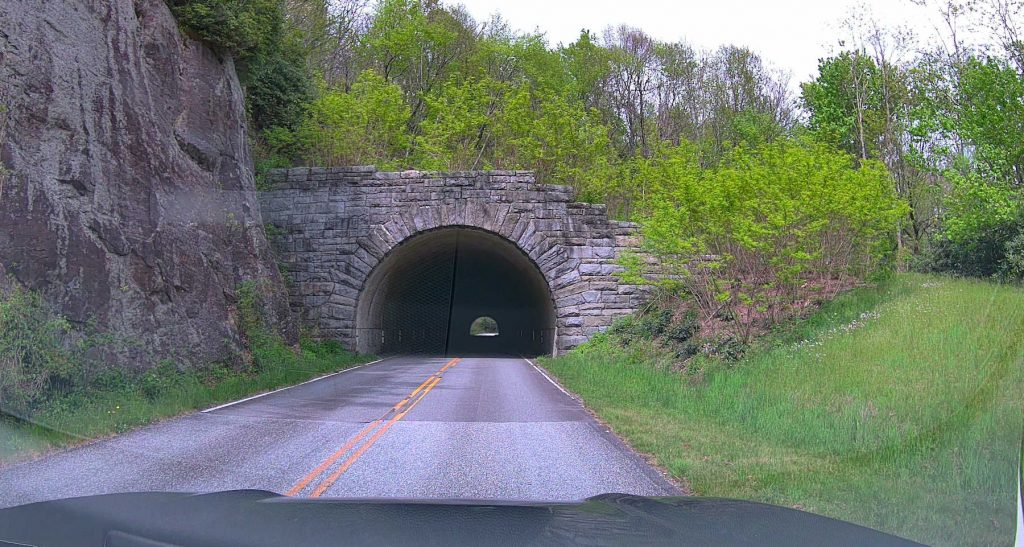
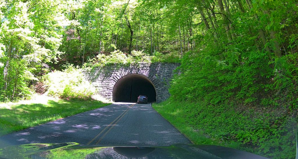
There are several tunnels on the Blue Ridge Parkway. The Big Witch Tunnel is one of the first ones. (Appx MP 460)
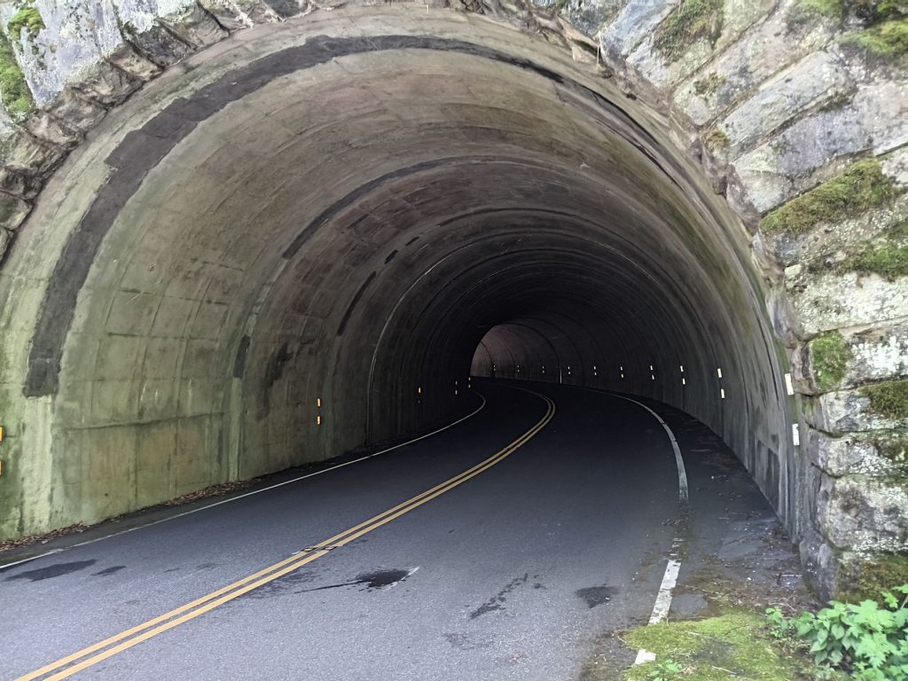
View inside the Big Witch tunnel.
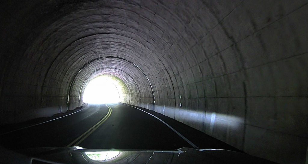
View inside one of the tunnels.
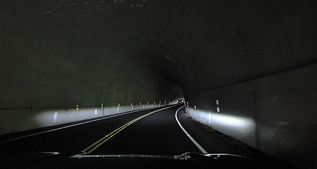
Another tunnel view. We passed through about 6 or 8 tunnels.
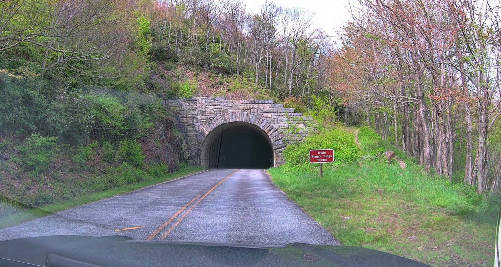
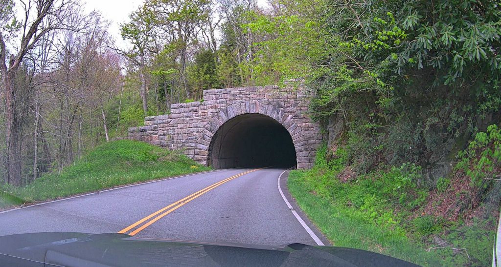
Here are a few more tunnels we passed through on the BRP.
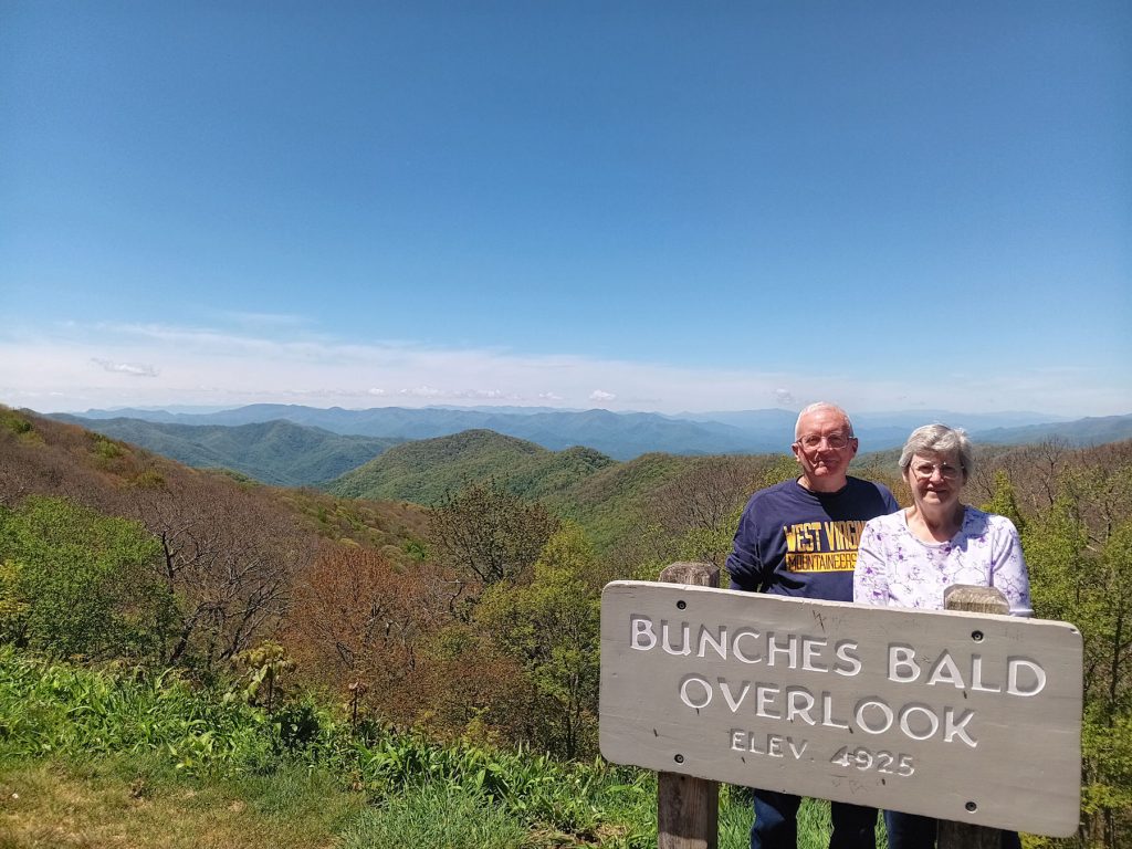
Bunches Bald overlook was just north of the Big Witch tunnel. Nice view. (Appx MP 458)
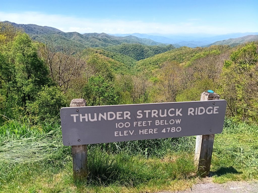
Another scenic overlook around MP 450.
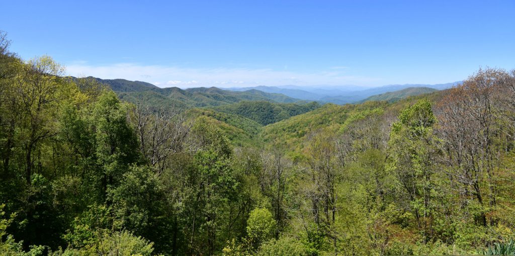
Panoramic view from Thunder Struck Ridge overlook.
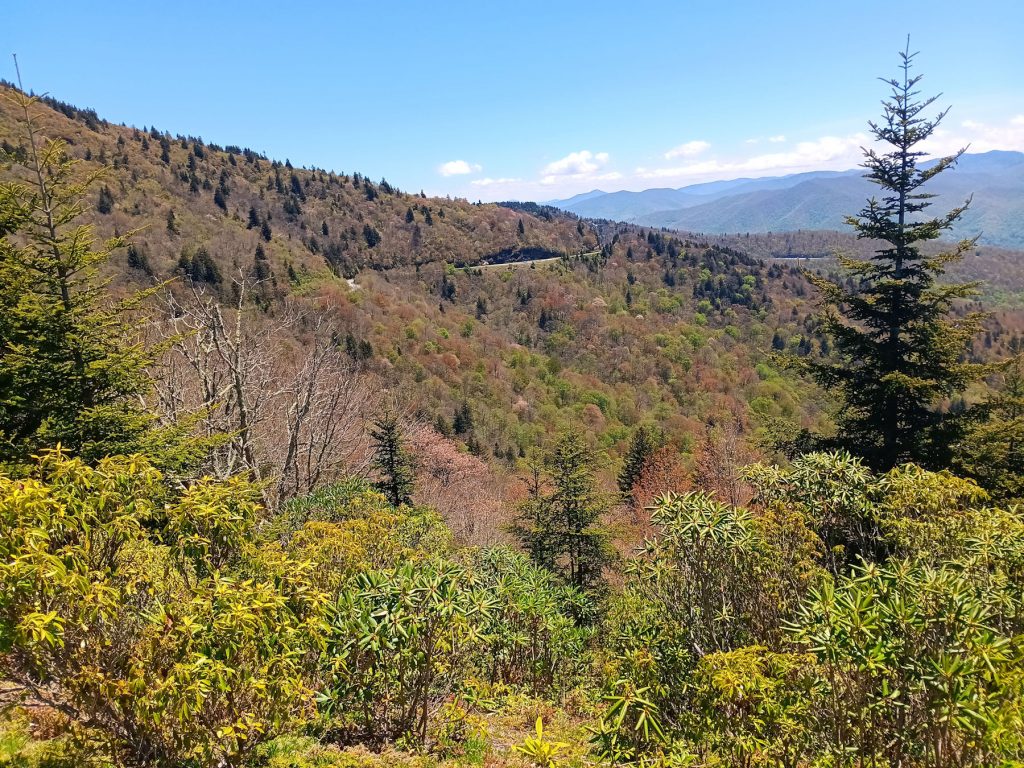
We stopped at the Waterrock Visitor Center to stretch and enjoy the magnificent view.
From the overlook, we could see the Blue Ridge Parkway meandering north. Soon, we would be following it.
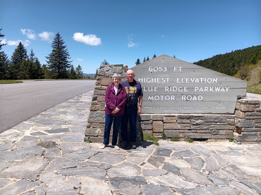
At MP 435, we reached the highest point on the Blue Ridge Parkway at 6,053 feet elevation. Richland Balsam Overlook.
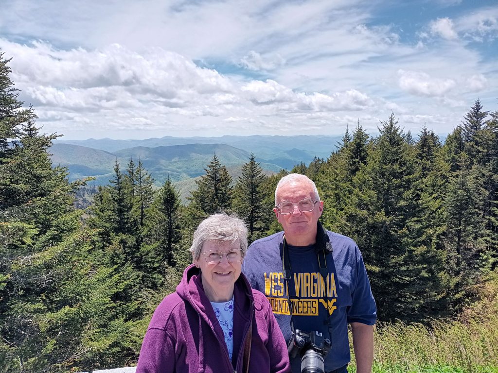
View from the Richland Balsam Overlook at the BRP “Highest Point”
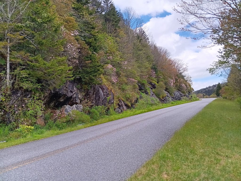
As we proceeded north, we started noticing more and more Mountain Laurel growing along the roadside. This beautiful shrub comes in many colors, but we saw mostly white and pink.
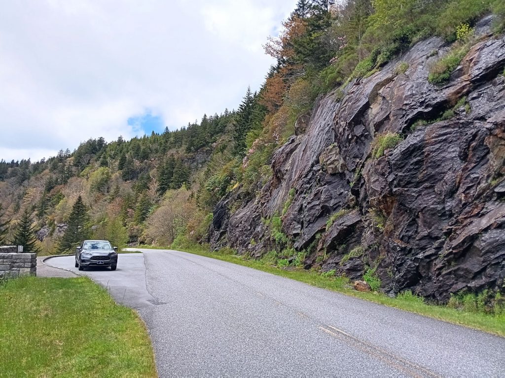
We pulled off here to get a closer look at the roadside flowers.
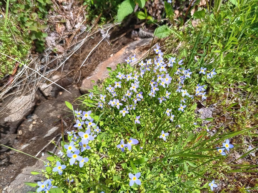
Azure Bluets (?) growing along the hillside by the waterfall.

Pinkshell Azalea (?) growing on the hillside by the waterfall.
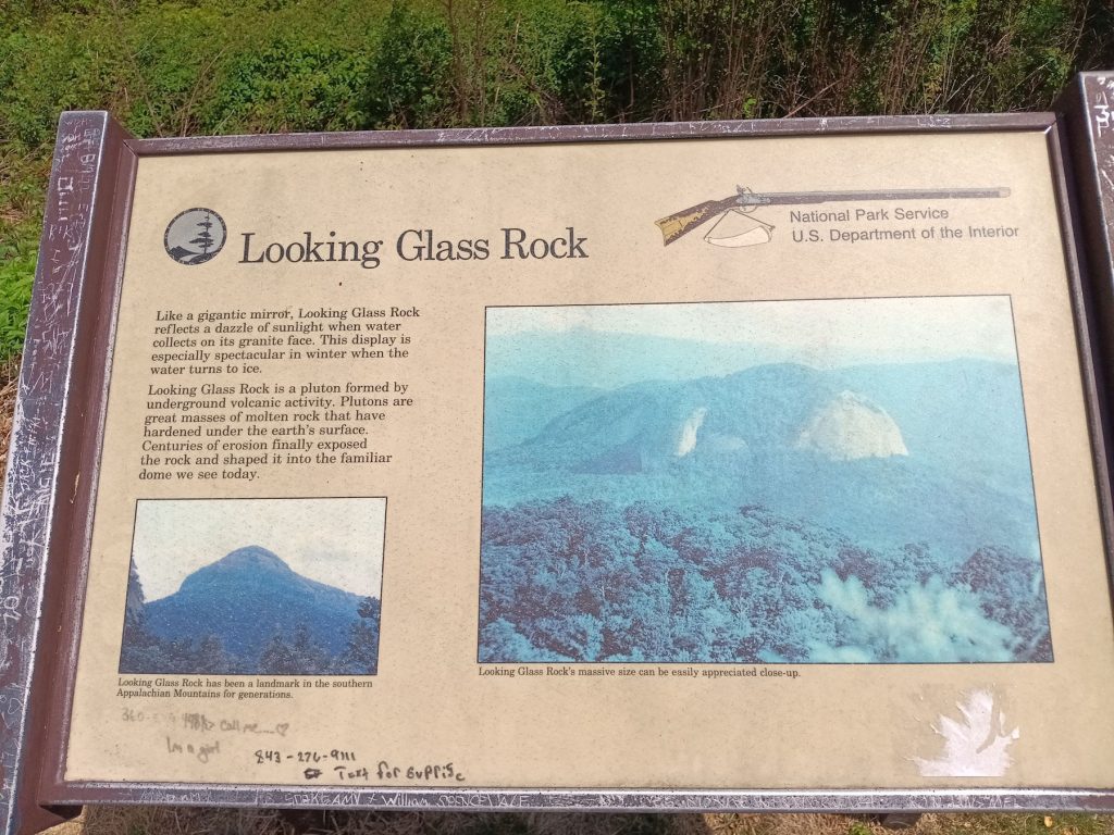
Our next stop was Looking Glass Rock. (Appx MP 415)
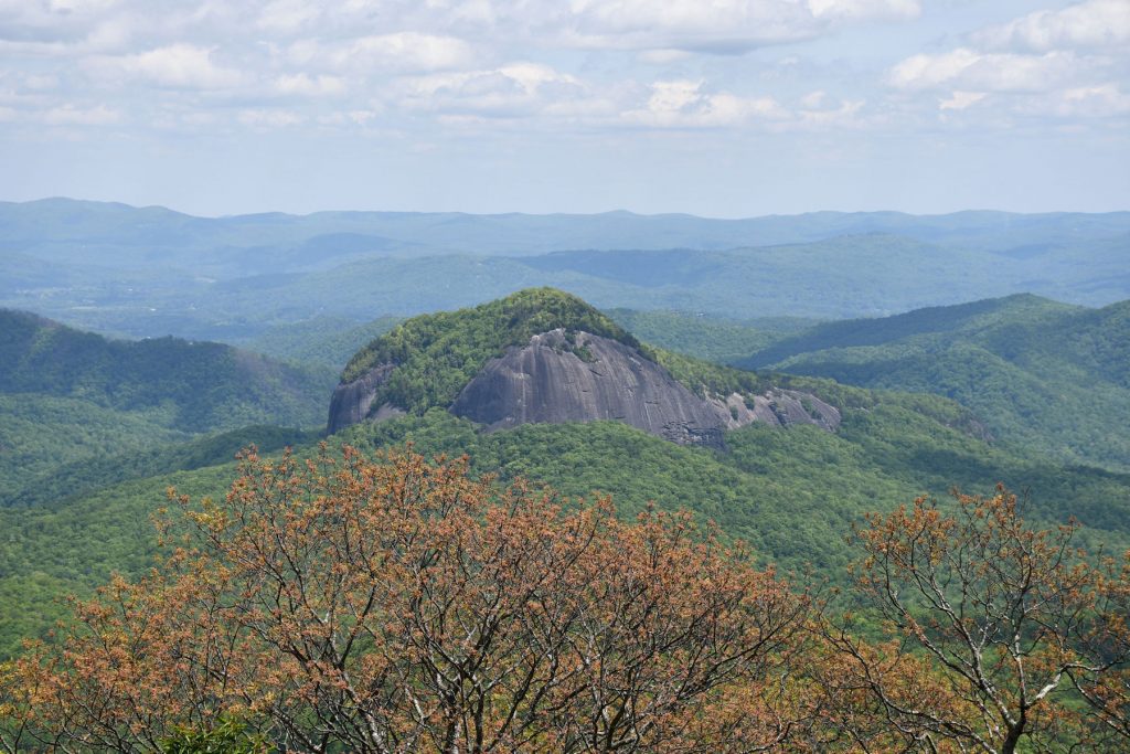
Looking Glass Rock.
Next, we decided to take a short detour to see Looking Glass Waterfall. Along the way, we discovered the “Cradle of Forestry.”
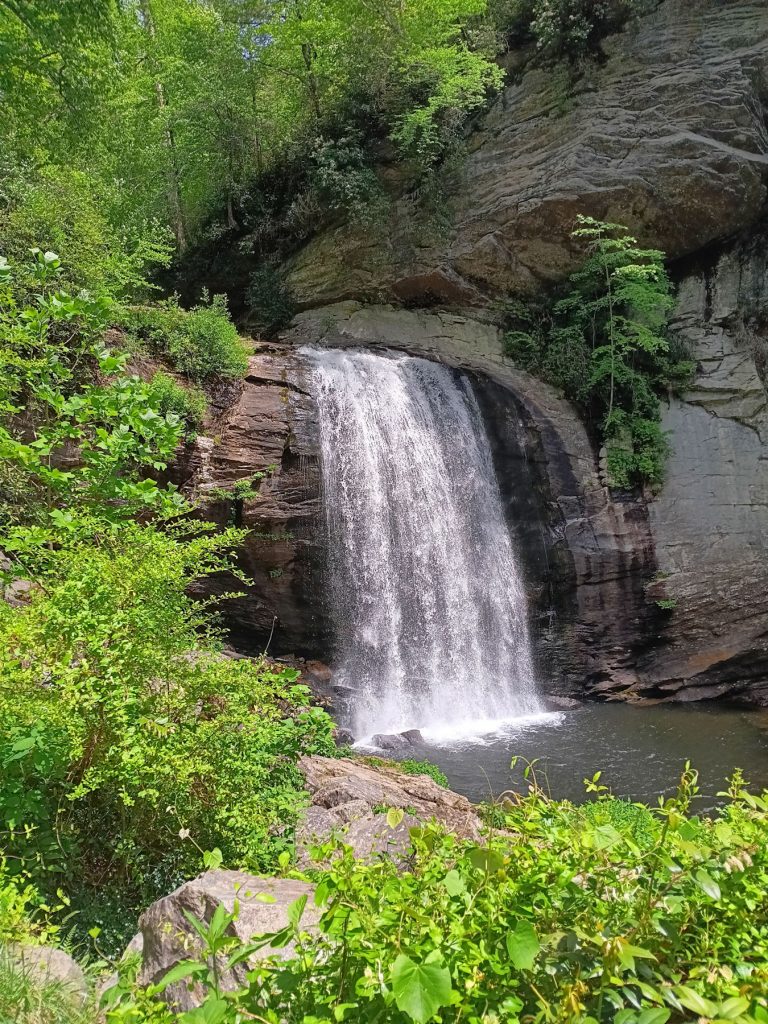
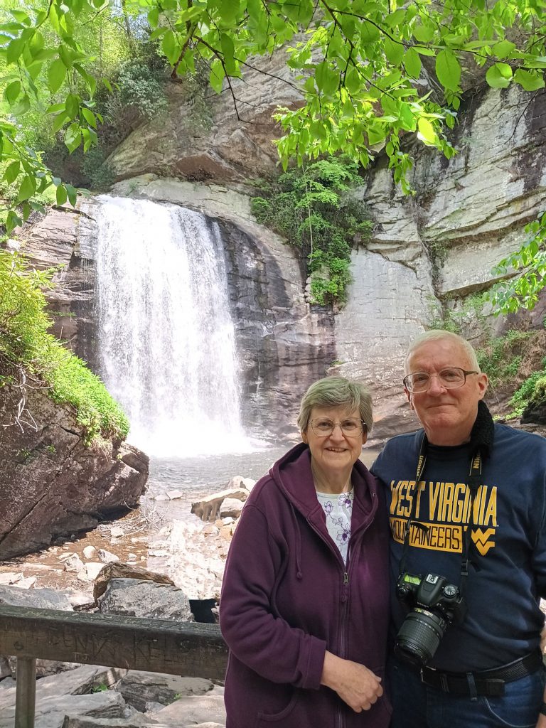
Just a short detour away from the BRP, we found Looking Glass Falls. It was right next to the highway, so no hiking needed.
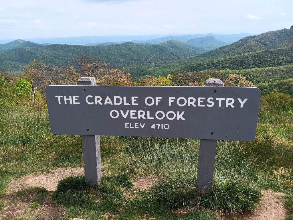
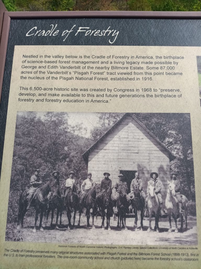
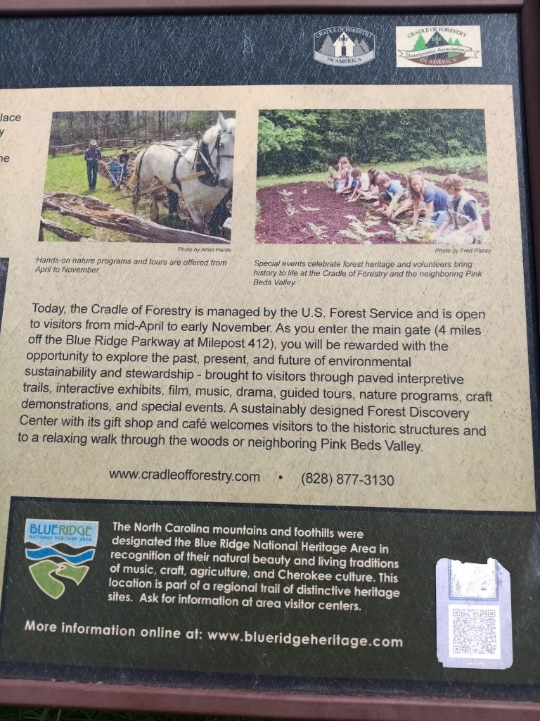
This area is referred to as the Cradle of Forestry. There is a large research center and visitor center located on a 6,500 acre campus.
Our next stop is the Pisgah Inn, located on Mount Pisgah and just a short distance to Ashville NC.
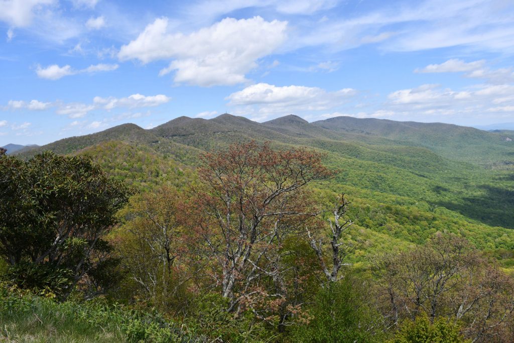
Approaching Mount Pisgah. The road is visible above the center tree.
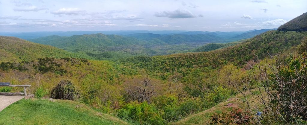
Pisgah Inn Overlook. The BRP is visible to the right. Only 15 miles to Ashville NC and our hotel for the next 2 nights.
It’s been a fun day exploring the Great Smoky Mountains National Park and the southern tip of the Blue Ridge Parkway.
Join us tomorrow as we visit the North Carolina Arboretum in Ashville.