
Great Smoky Mountains National Park
Days 6 and 7 – Back to West Virginia

After a noisy night at the hotel (local college graduation party on our floor – UGH!), we packed up and continued north on the Blue Ridge Parkway. Our plan was to pick up where we left off at Mile Post 390 and follow the 35MPH road for 270 miles to Roanoke VA. Then, we would get up the next morning and visit the Natural Bridge state park. However, our plans would soon change.
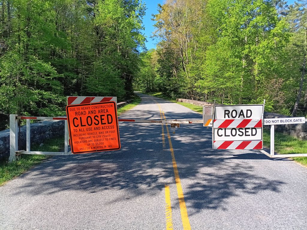
After about 15 miles on the Blue Ridge Parkway, we found out the road ahead was closed in several sections. Turns out they are still doing road repairs from Hurricane Helene in September 2024. There were rock slides and mud slides that covered and, in places, destroyed the road and bridges. I didn’t realize they were still working on the road, so we backtracked and circled around to the point about 60 miles ahead where the road was open again. Even the detour was scenic – a windy 2-lane road with waterfalls and nice overlooks.
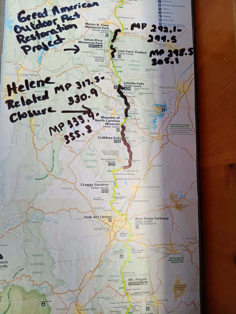
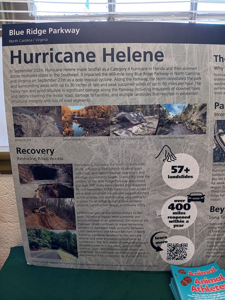
These maps and displays show the extent of damage to the Blue Ridge Parkway from Hurricane Helene.
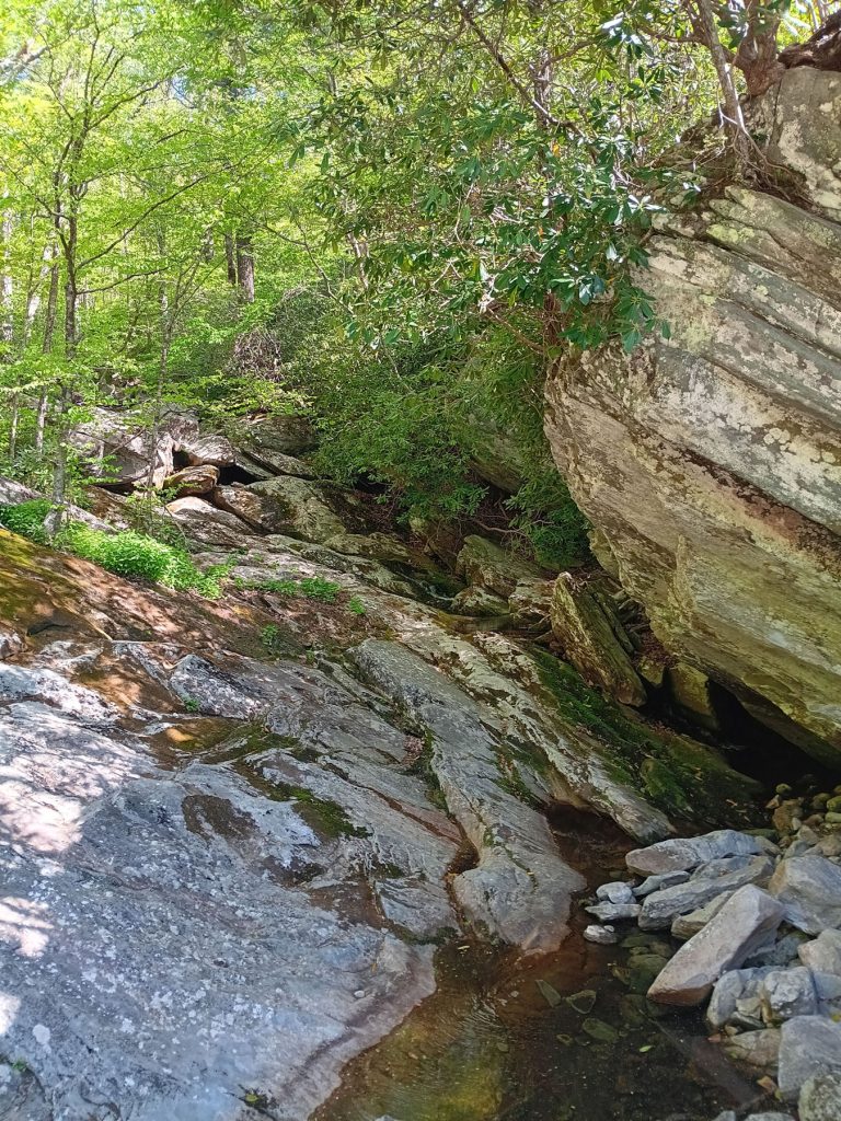
One of the waterfalls along the detour.
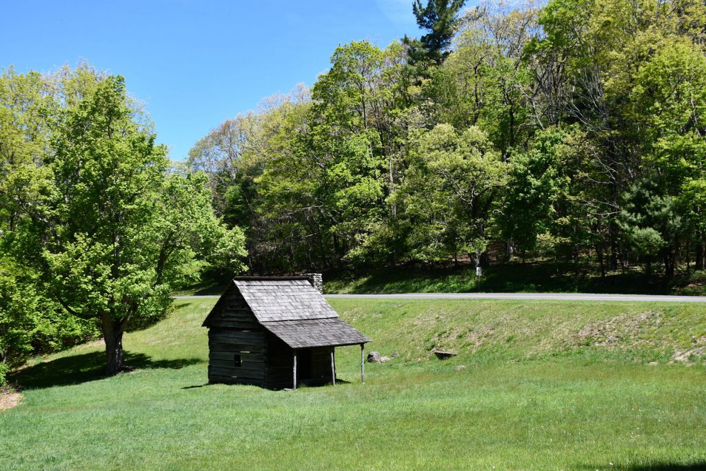
Soon, we were back on the Blue Ridge Parkway. We stopped at this old cabin along the road. (Appx Mile 280)
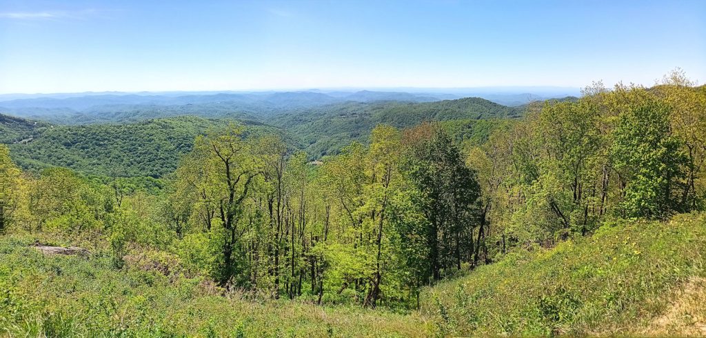
Continuing north on the BRP. (Appx Mile 250)
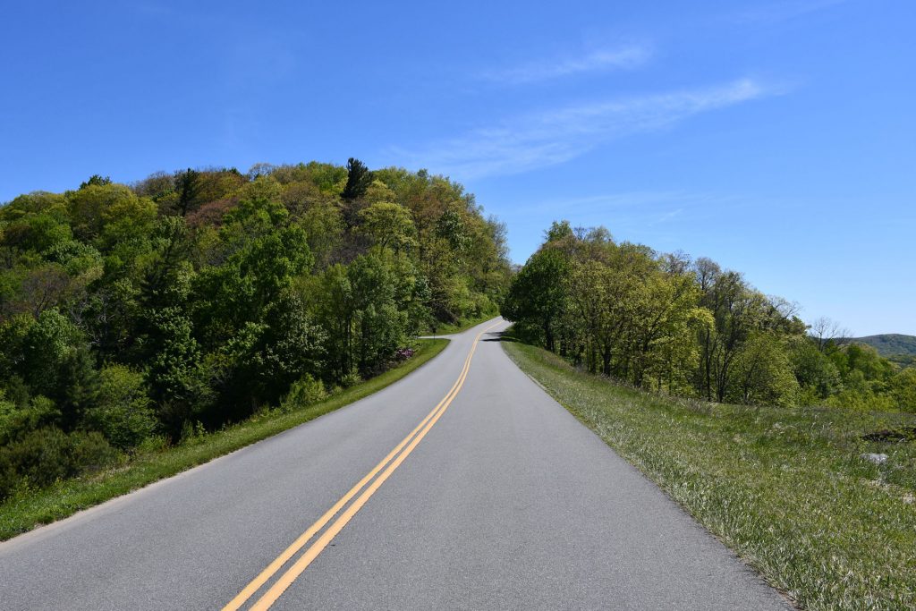
Continuing north around Mile 240.
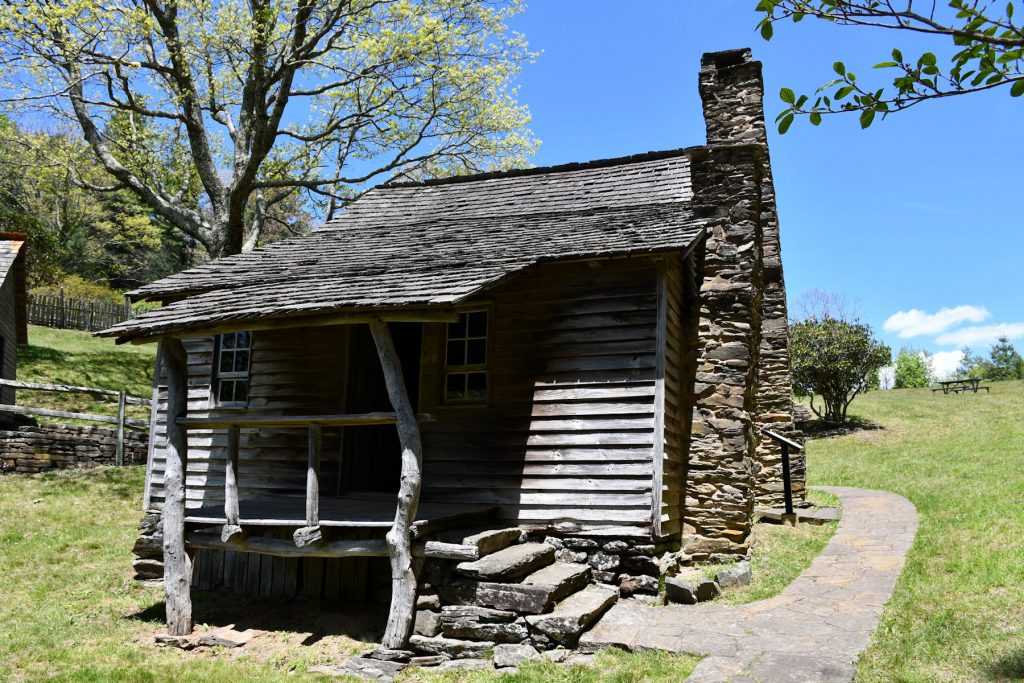
At around Mile 240, we stopped to look at the Brinegar Cabin and homestead.
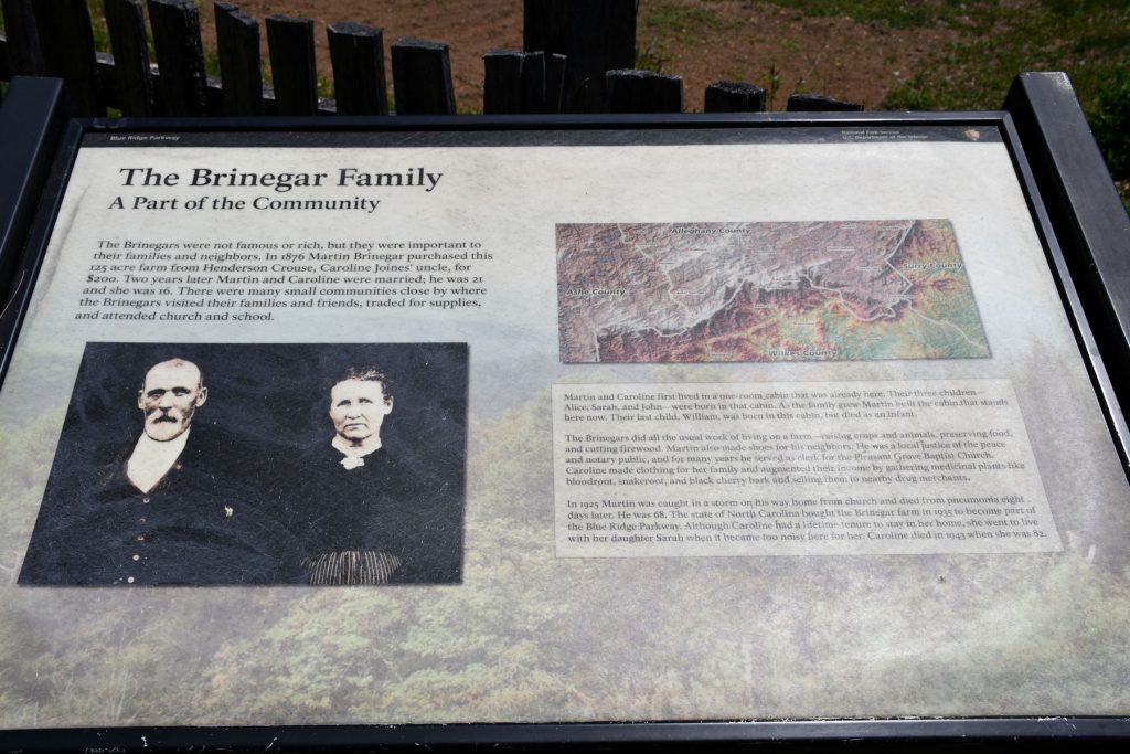
Informational plaque at the Brinegar Cabin.
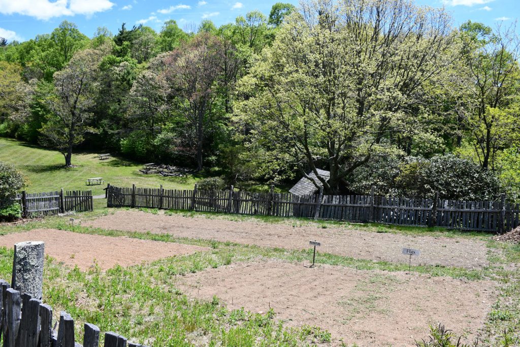
Family garden at the Brinegar homestead.
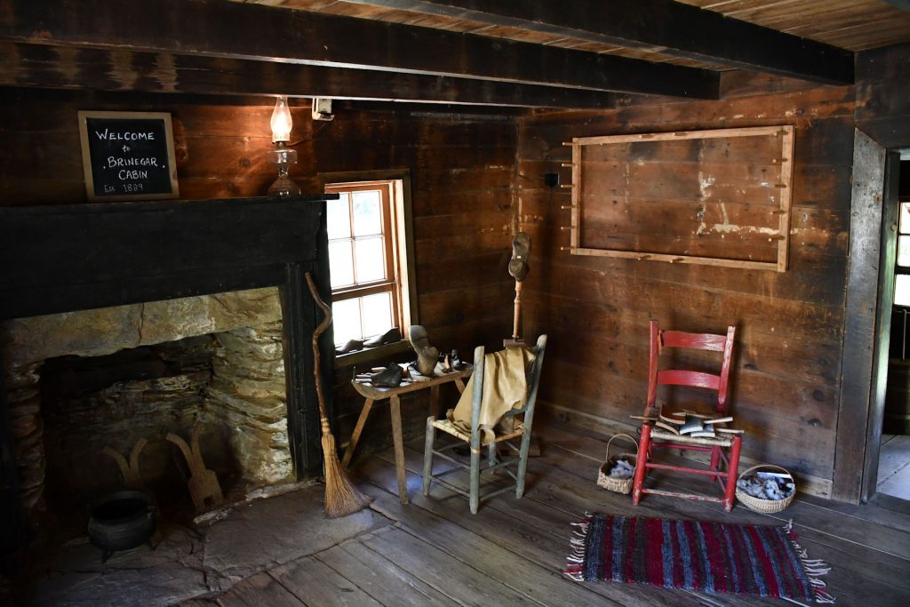
Inside the Brinegar cabin.
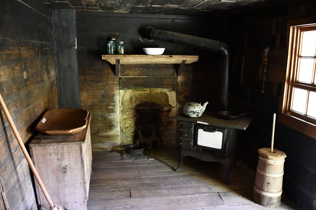
Another view inside the Brinegar cabin.
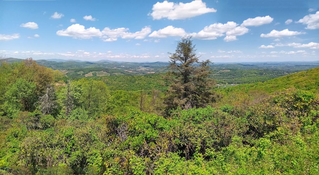
Continuing north – Approaching the Blue Ridge Music Center around mile 220.
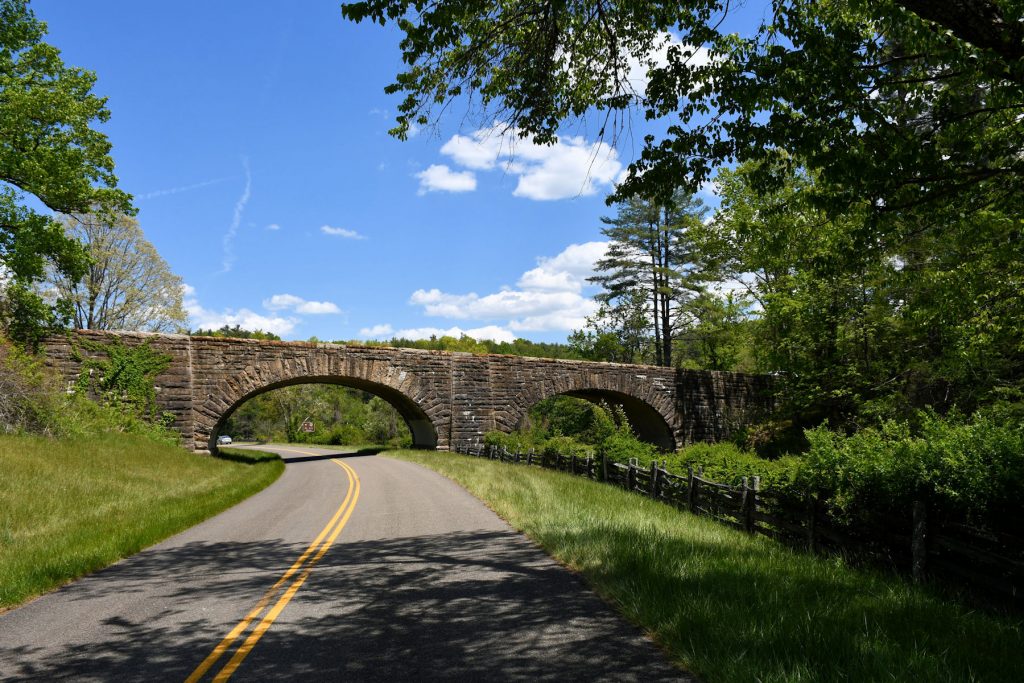
Shortly after passing into Virginia, we passed under this stone viaduct/bridge with Rt 89 traffic overhead.
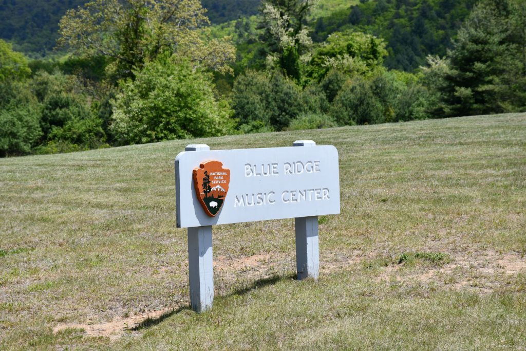
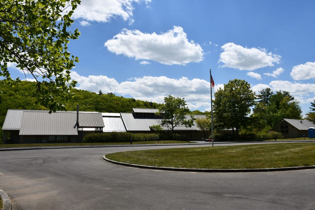
Blue Ridge Music Center – Located at Mile 220
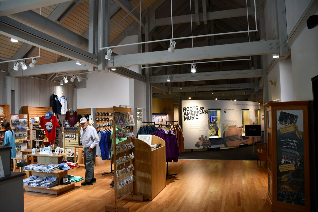
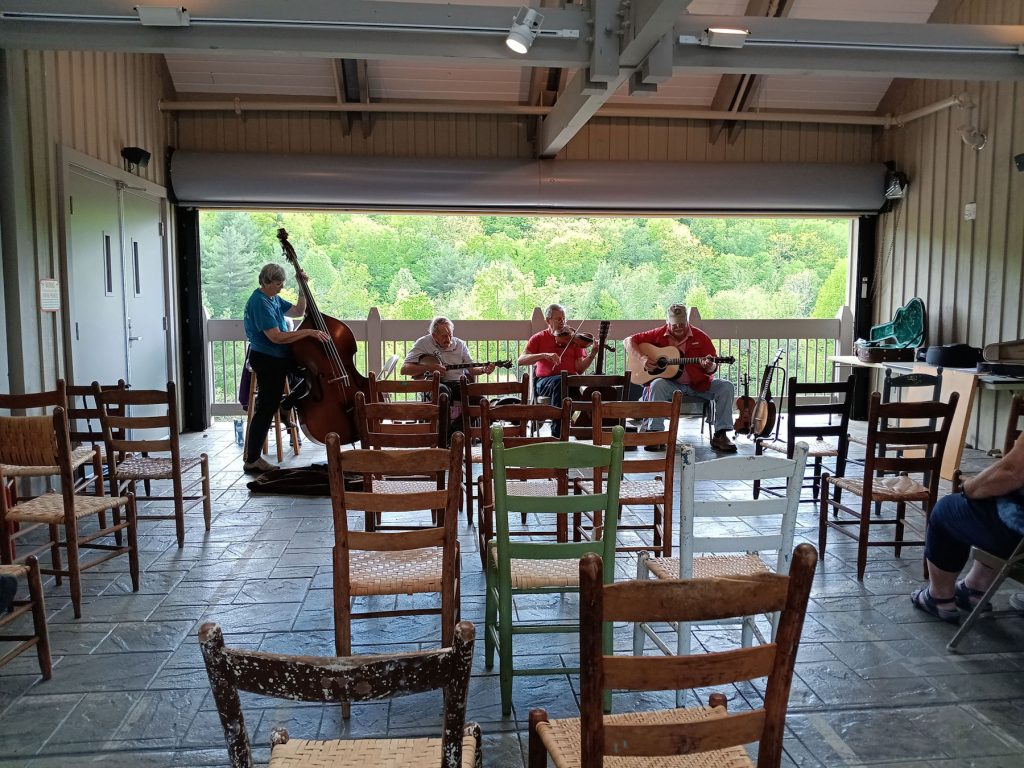
We enjoyed some good Appalachian music while we explored the museum.
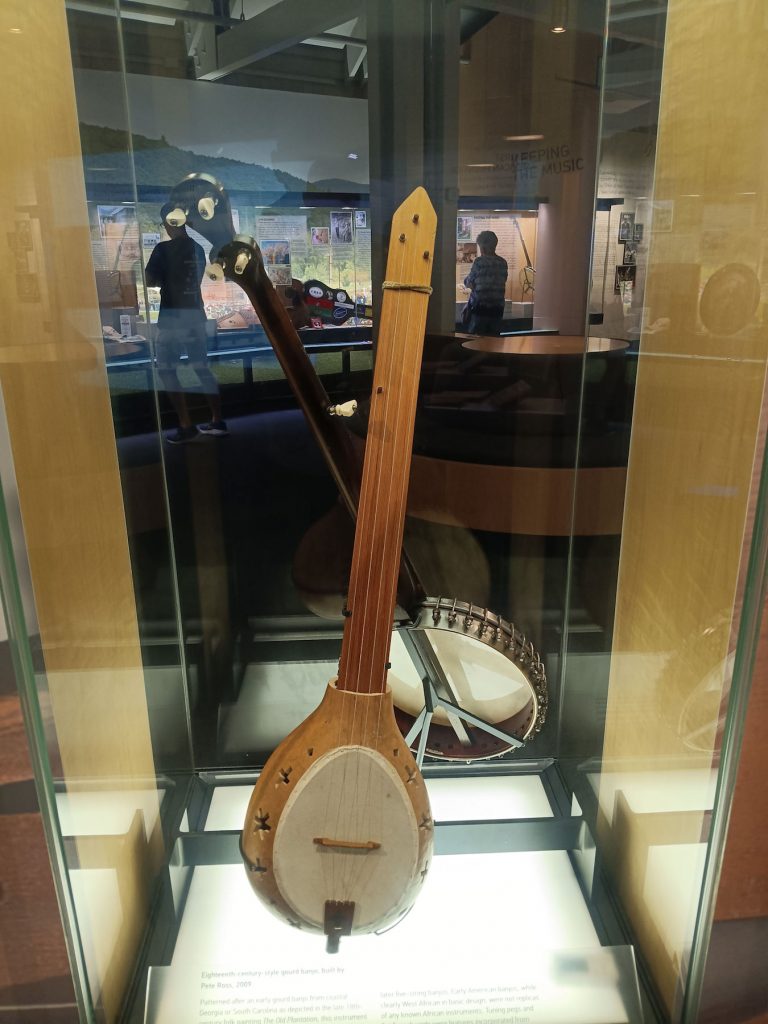

Some of the many musical instruments on display at the Blue Ridge Music Center museum.
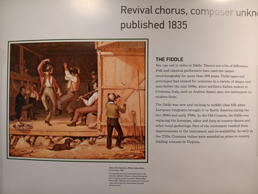
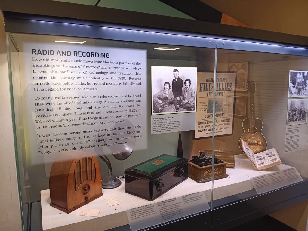
More displays at the Blue Ridge Music Center museum.
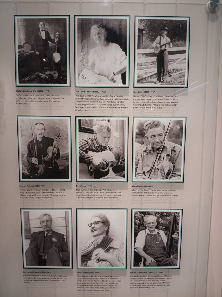
Some old-time musicians.
Time to continue north to Roanoke VA, where we are staying tonight.
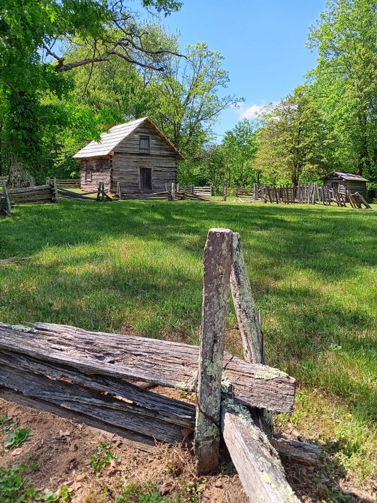

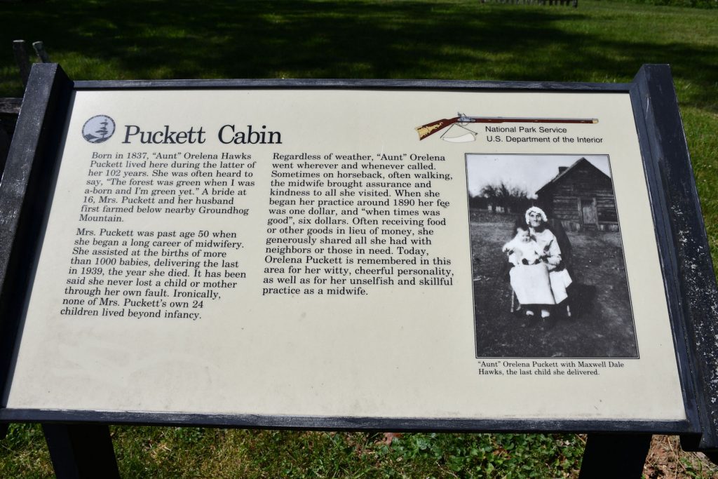
Our next stop was Puckett’s Cabin. Orelena Hawks Puckett was a midwife who lived here until she died at age 102. She delivered over 1,000 babies up until the year she died. Sadly, none of her own 24 children lived beyond infancy, possibly due to Rh Disease.
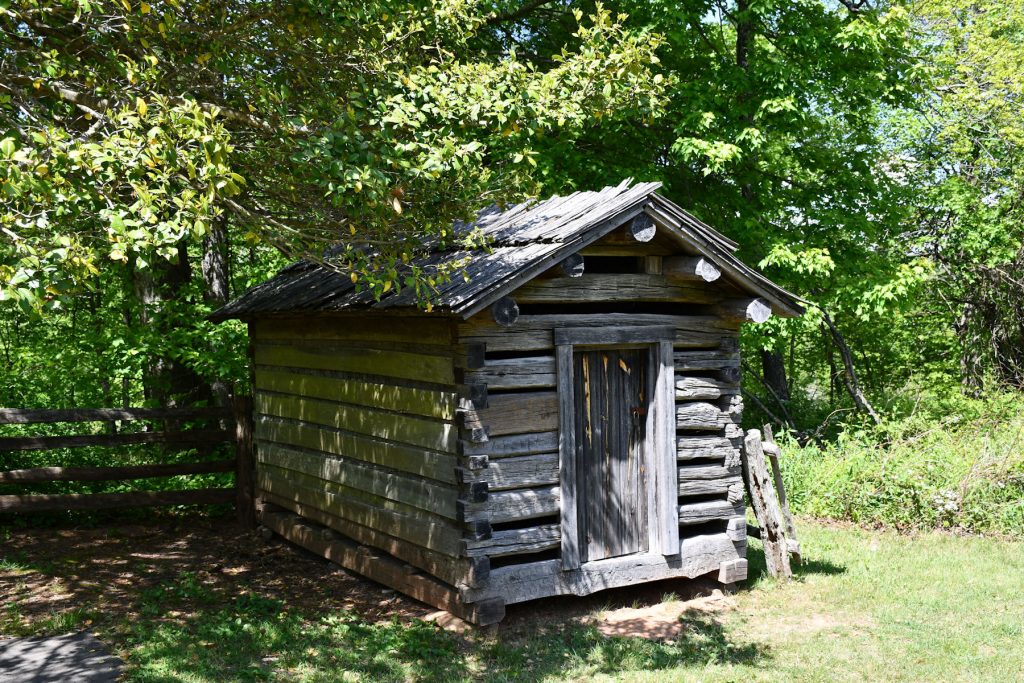
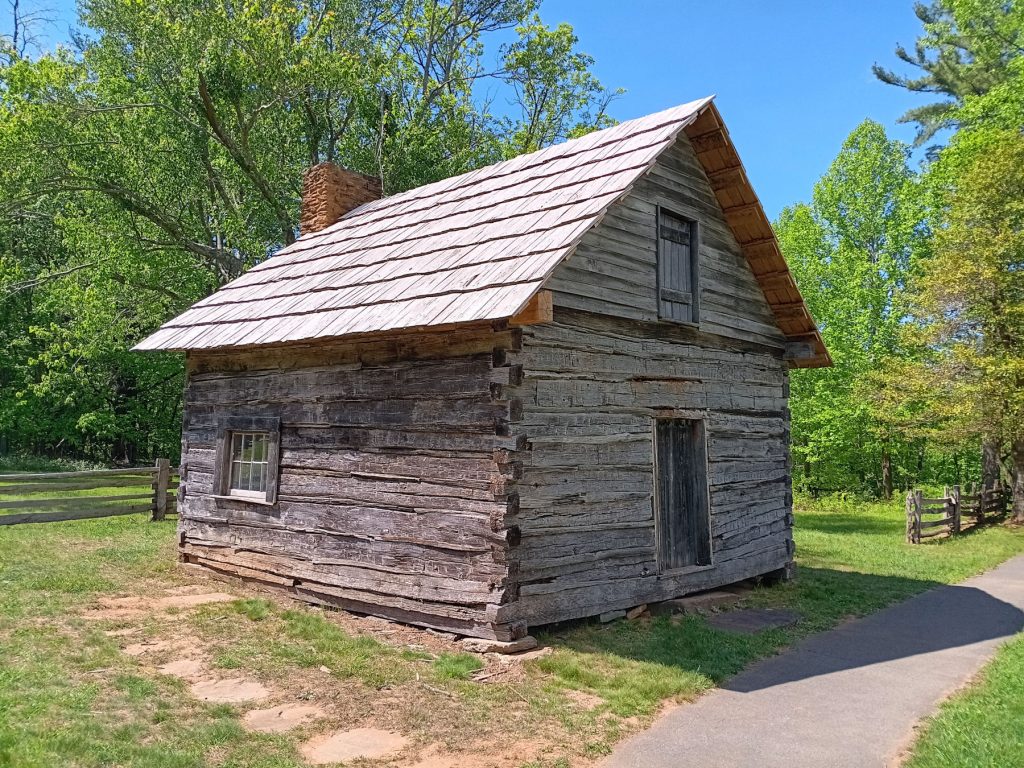
Corn crib and Puckett cabin.
About 10 miles north, we stopped at the Mabry Mill. This is a popular photo spot along the BRP. (Appx Mile 175)
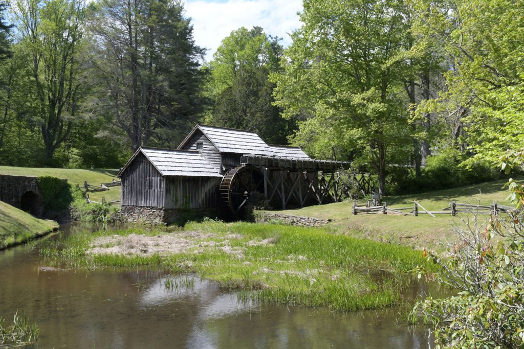
Mabry Mill
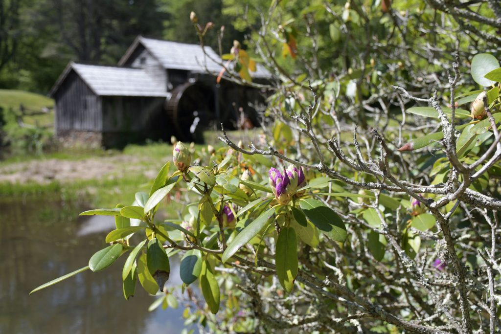
The rhododendron were beginning to bloom around the Mabry Mill. I couldn’t resist adding this photo.
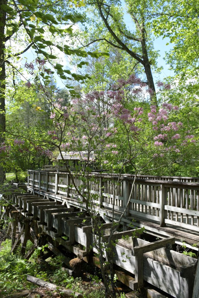
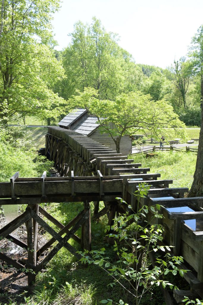
Views of the sluice that directs water from a nearby stream into the Mabry mill.
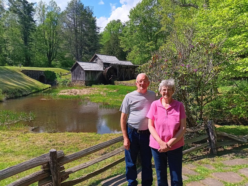
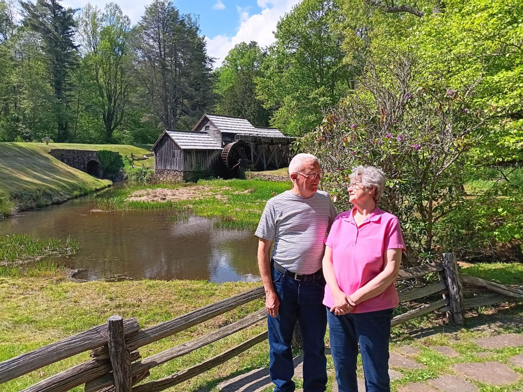
A nice lady took a photo of us by the Mabry Mill. Then, she told us to look at each other and smile. “Happy Mothers’ Day, dear.”
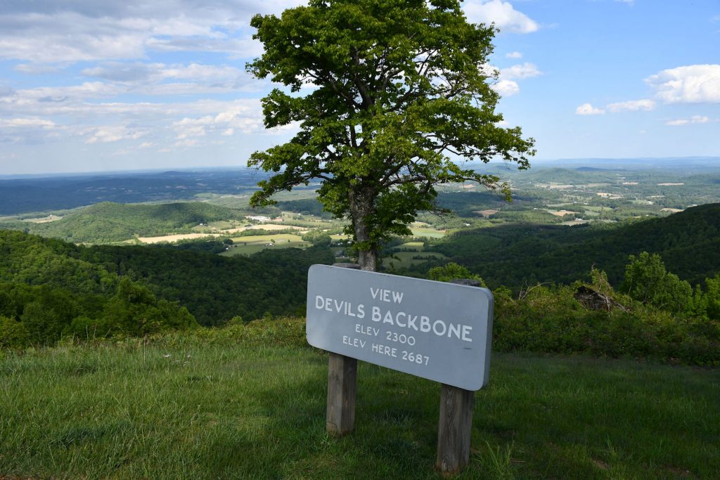
Shortly before descending into the Roanoke VA area, we stopped at this last overlook.
We’ve dropped from the 5,000+ foot elevations this morning.
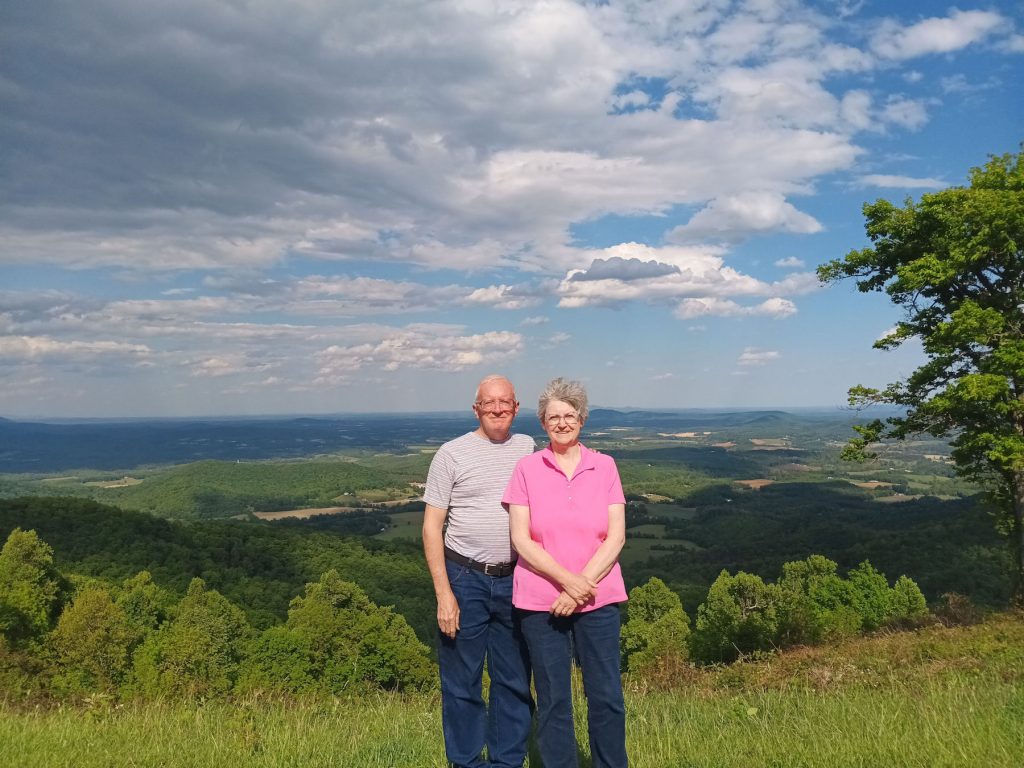
Our last overlook photo on the Blue Ridge Parkway for this trip. (Devil’s Backbone, Mile 145)
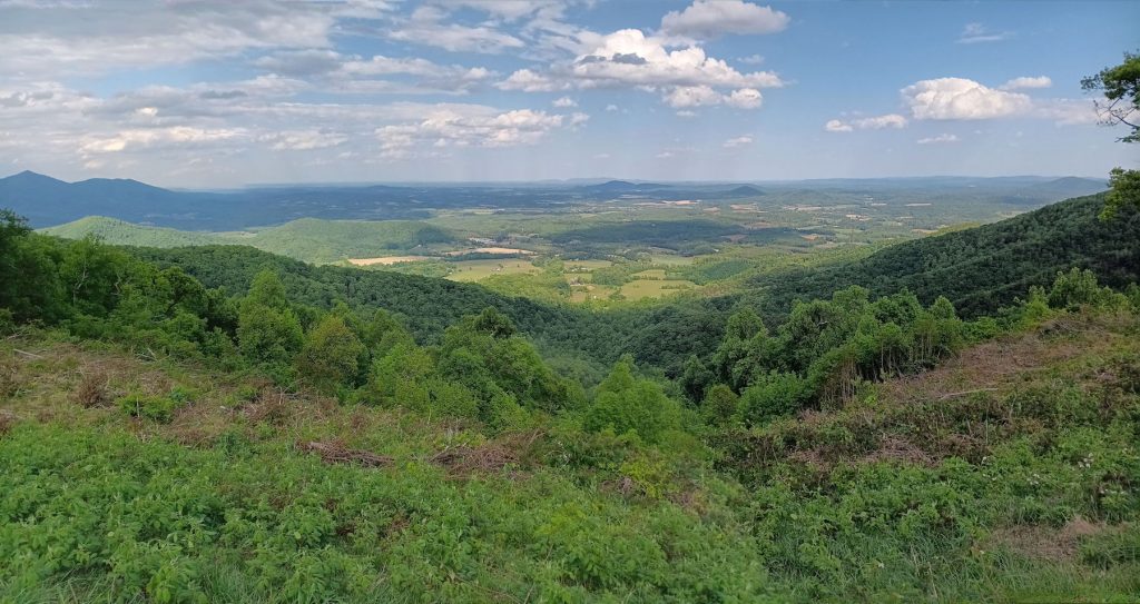
Panorama view from the Devil’s Backbone overlook.
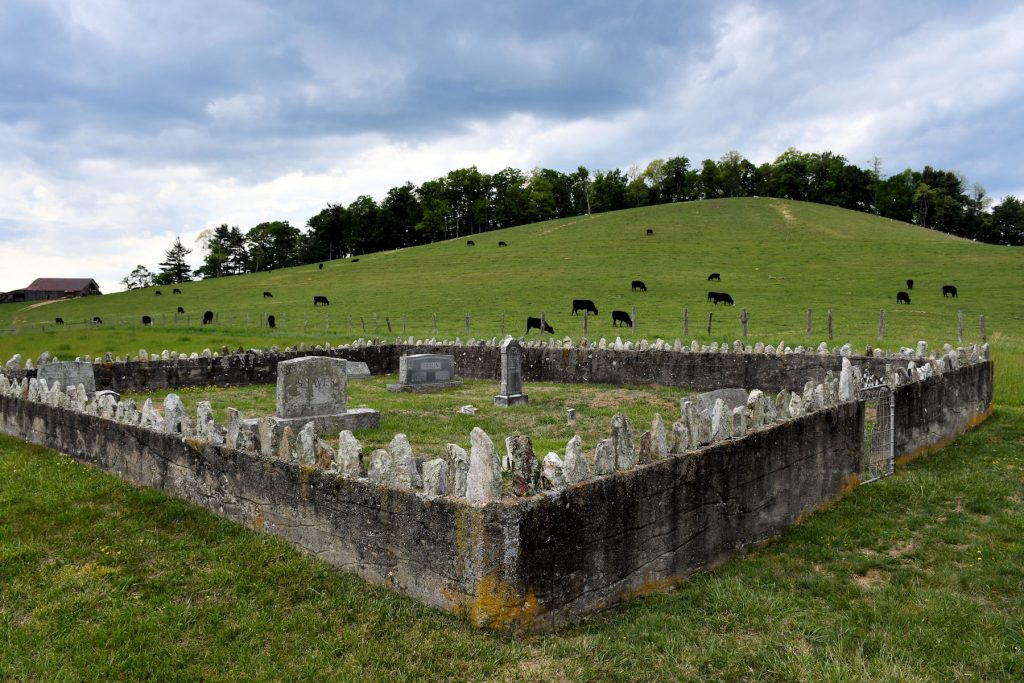
We stopped to take a photo of this unusual cemetery with cattle grazing on the hillside. (Appx Mile 135)
I’m guessing the stones along the edge keep the cows from jumping the wall.
About 20 miles later, we exited the Blue Ridge Parkway and headed to our hotel in Roanoke.
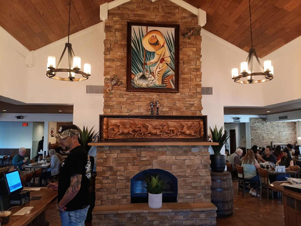
It’s Mothers’ Day, so we walked over to this nice Mexican restaurant next to the hotel.
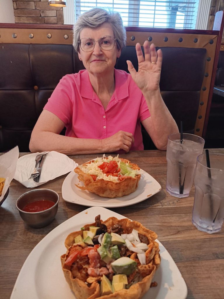
Beth and I enjoyed our taco salads. Happy Mothers’ Day, dear!
Well, the trip today didn’t go as planned, but we adapted and kept going. The result was a fun and interesting day on the Blue Ridge Parkway. Someday, we will come back and visit the construction spots we had to skip this trip.
DAY 7 – ROANOKE TO HOME
Another change of plans this morning. We had planned to visit the Natural Bridge State Park just north of Roanoke. However, we awoke to the sound of thunder and heavy rain. I guess we will add Natural Bridge to our list of spots to visit on our next trip to this area.
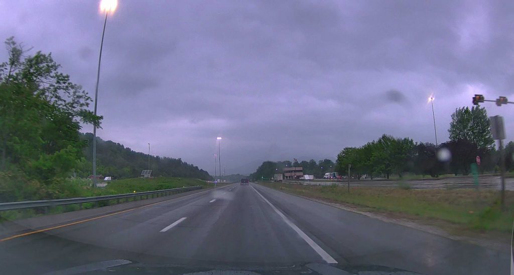
This was the view out of the windshield for the first couple of hours today.
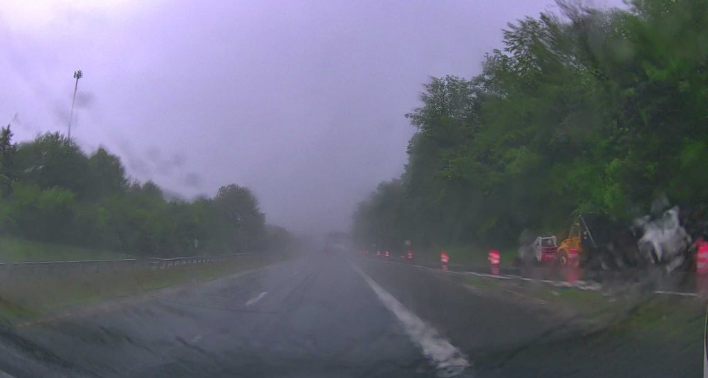
Then, it started raining REALLY hard! We thought about pulling over, but we still have 250 miles to go.
Just when we thought this morning would be un-exciting, look what came into view!
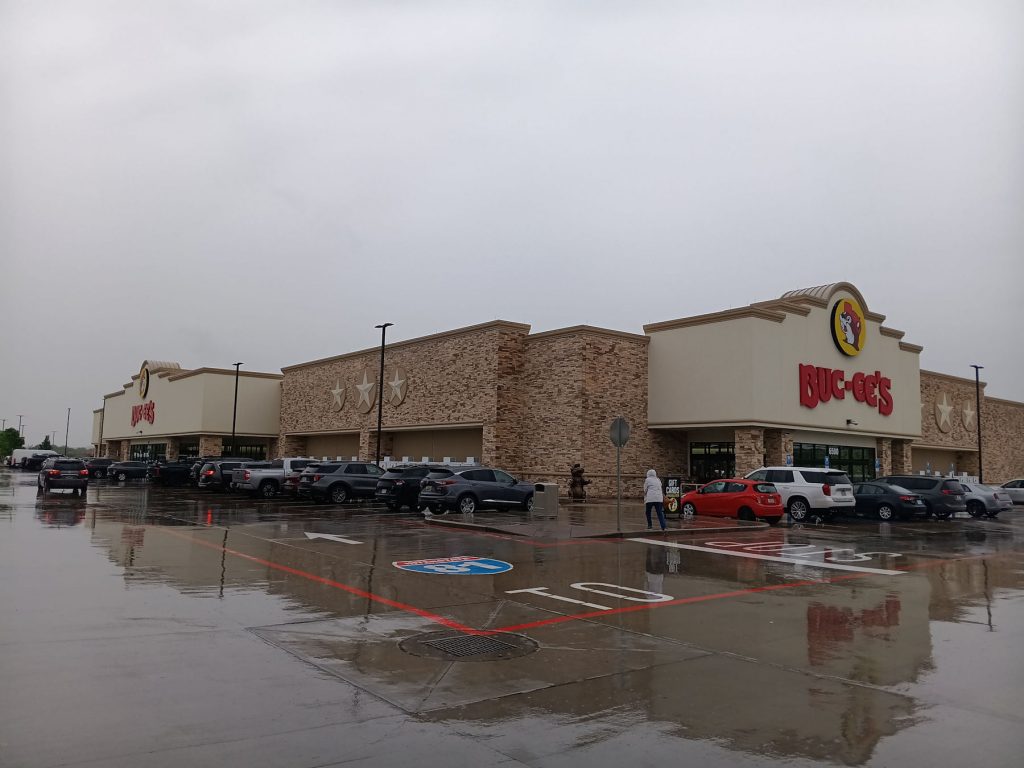
Just south of Harrisonburg VA, there is a new Buc-ee’s!! For those of you not familiar with Buc-ee’s, it is the SUPER-DUPER Wal-Mart of gas station/superstores. They have everything from gas to food, clothing, gifts, home-made candy and world-famous BBQ and smoked meats.
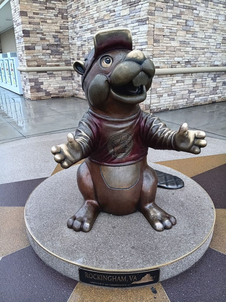
Buc-ee was there to greet us at the door!
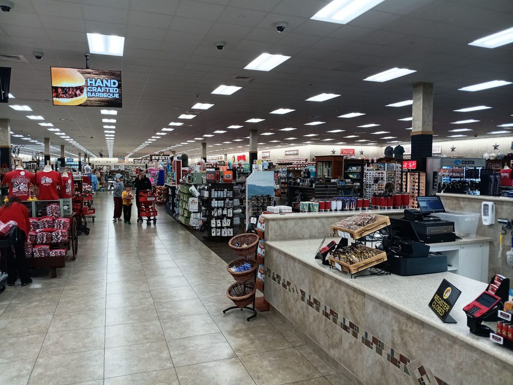
Welcome to Buc-ee’s! Family-friendly and super clean bathrooms!
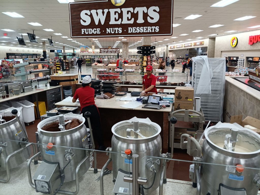
Home-made candy and fudge!
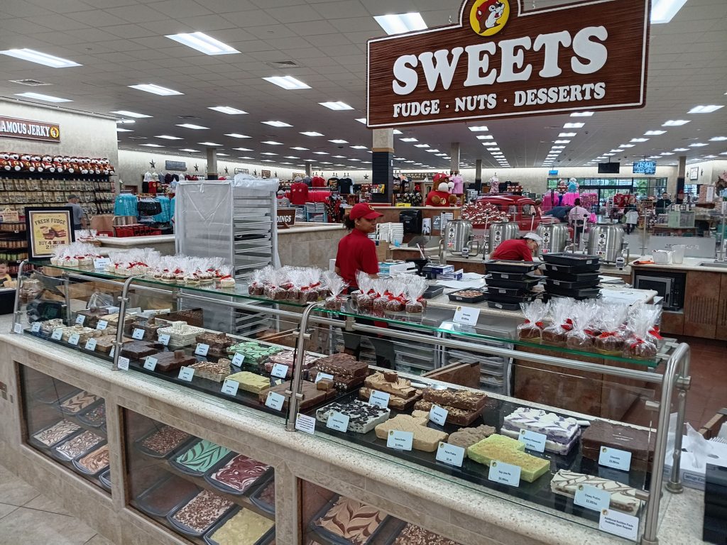
Take your choice of fudge and lots of other sweets!
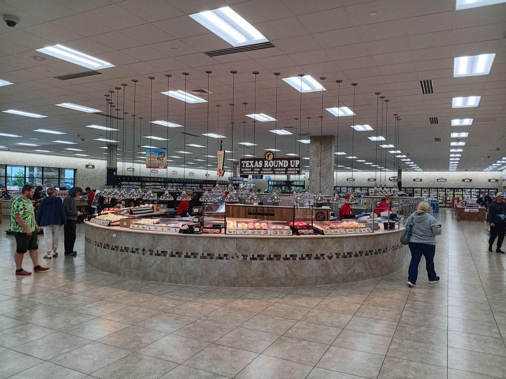
Texas Round Up is where they make their own BBQ, brisket, and other meats. The smell was awesome!
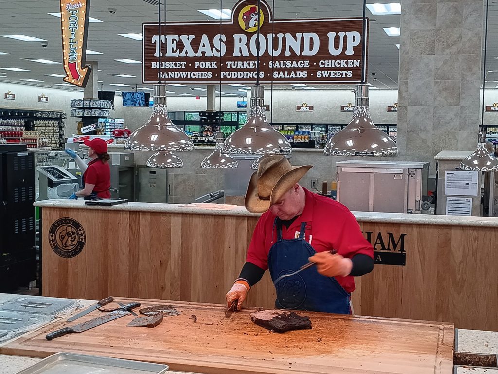
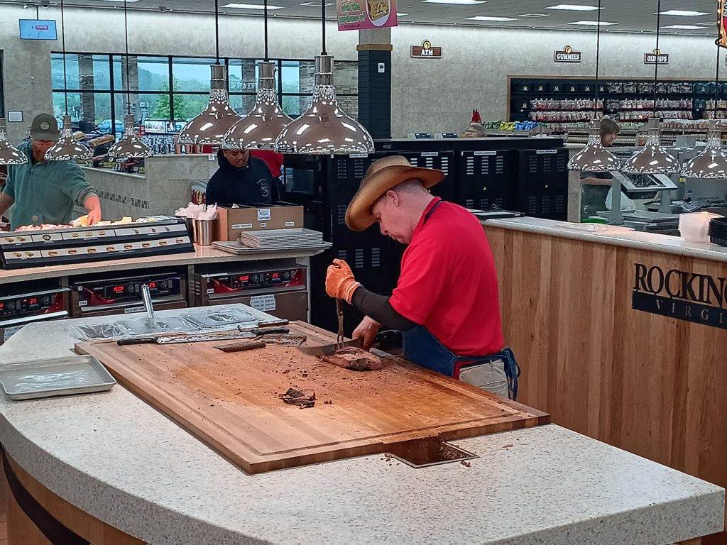
This gentleman was cutting up a slab of brisket.
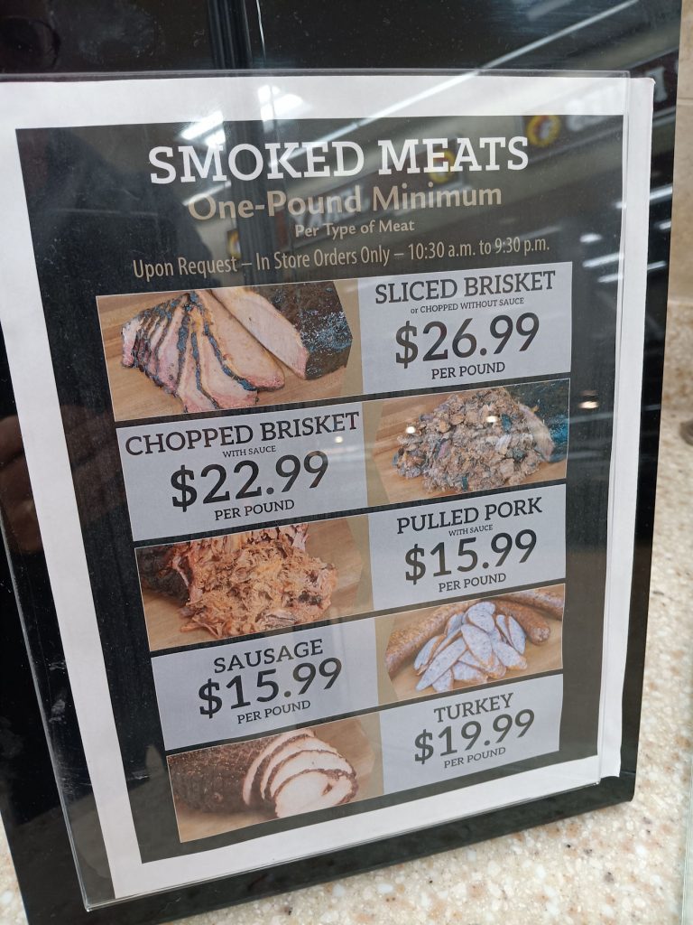
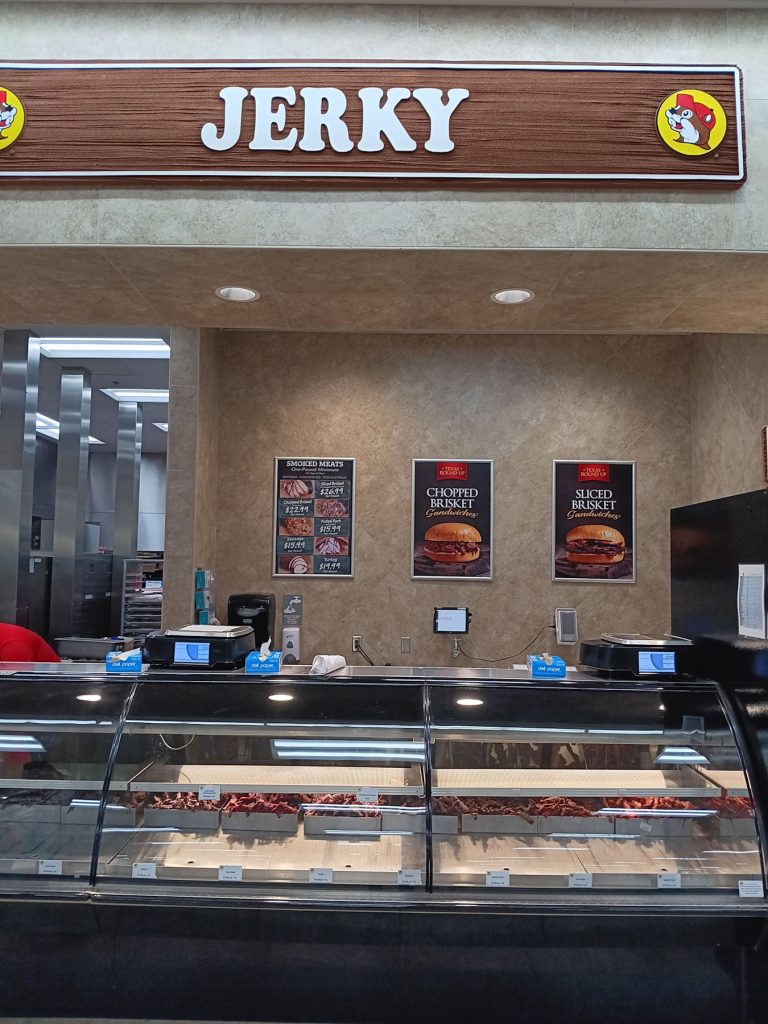
Step right up to the Jerky counter. They had at least a dozen types.
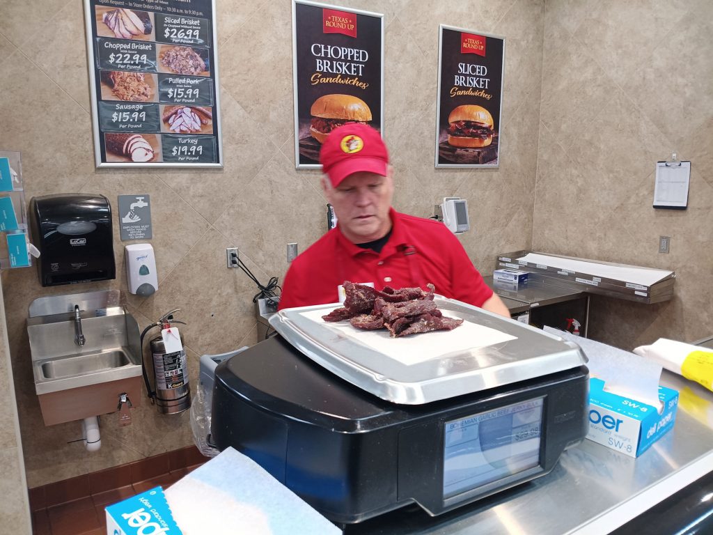
This worker was weighing out some fresh jerky for a customer.
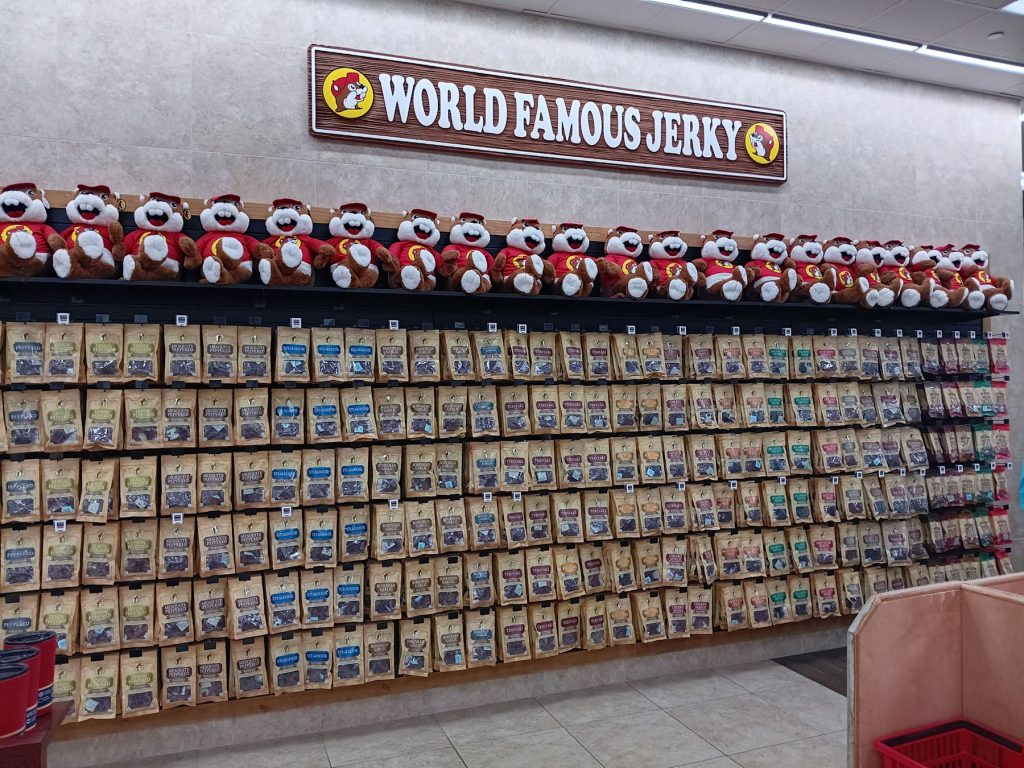
Or, you can get your jerky to-go!
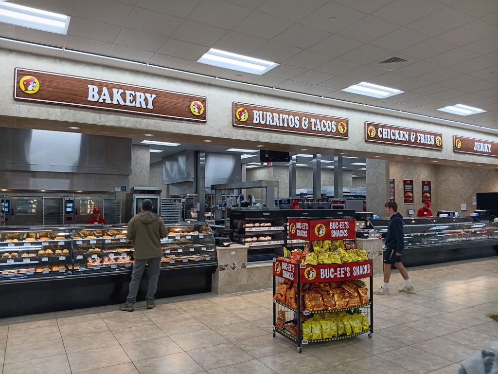
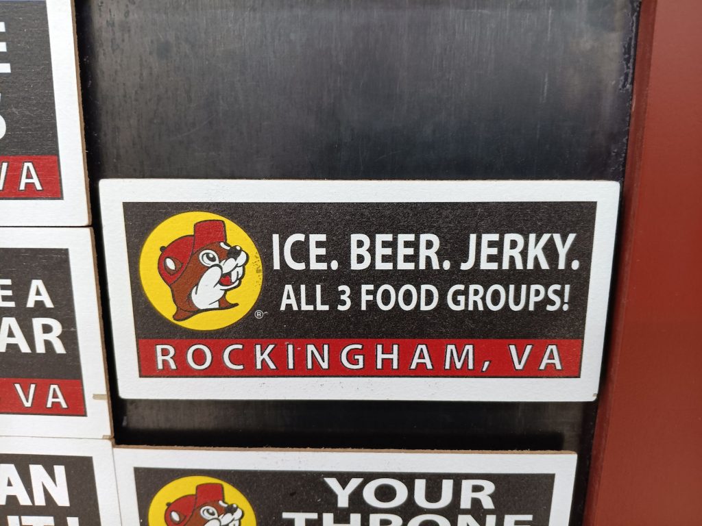
They have their priorities in order. Haha!
What could be cuter than a truckload of Buc-ee’s?
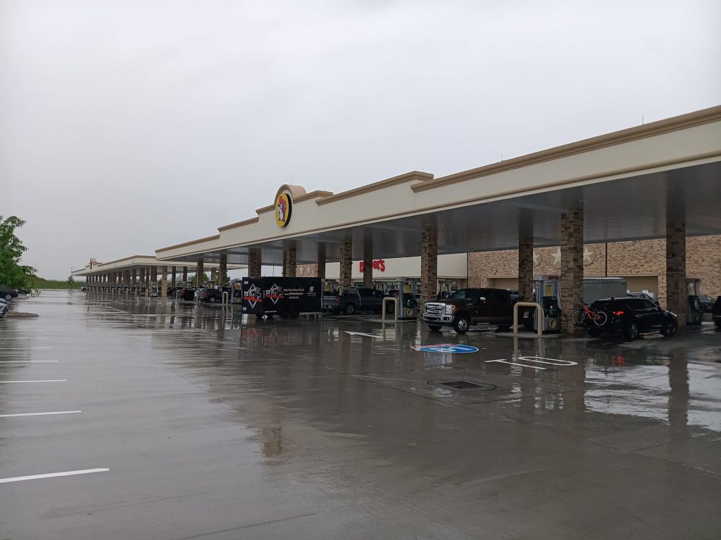
When we were leaving, I decided to top off the gas tank since the rain had slowed down.
Out of almost 100 gas pumps, I picked the one that took my card but would pump no gas. Ugh!
After we passed through Harrisonburg VA, we turned onto Rt 259 north to Mathias WV and Baker WV. This is a scenic backroad with many old farms and not much traffic. It takes us to the 4-lane Rt 48 directly to Thomas/Davis. Then, we head north to Oakland MD and on home to Morgantown WV.
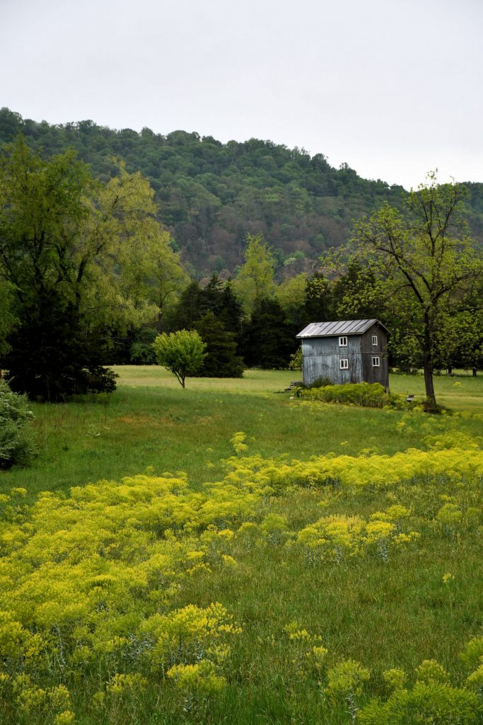
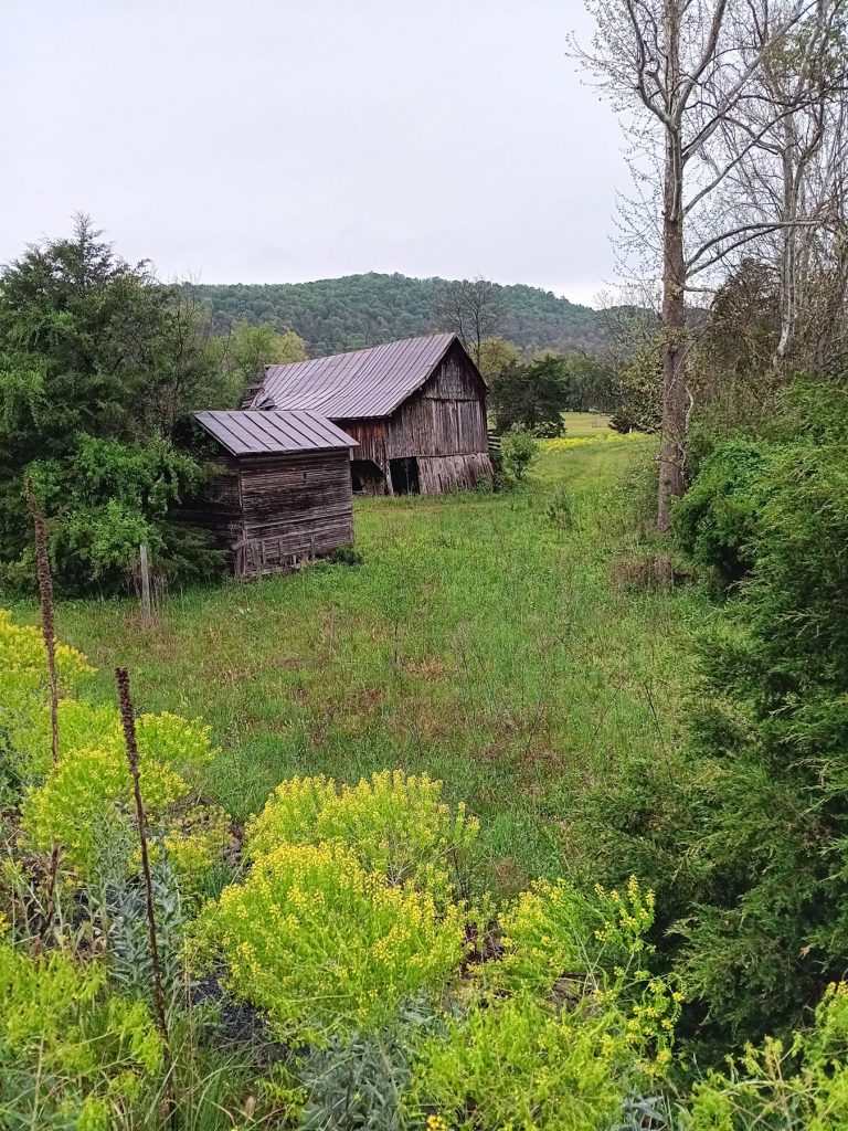
The rain ended as we passed into West Virginia just south of Mathias. This old shed and barn were swimming in wild mustard.
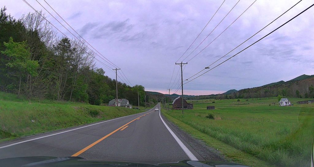
We always enjoy the scenic Rt 259 between Mathias and Baker WV.
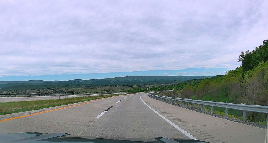
Rt 48 is a scenic 4-lane highway that goes from near the Virginia border at Wardensville west to Thomas/Davis.
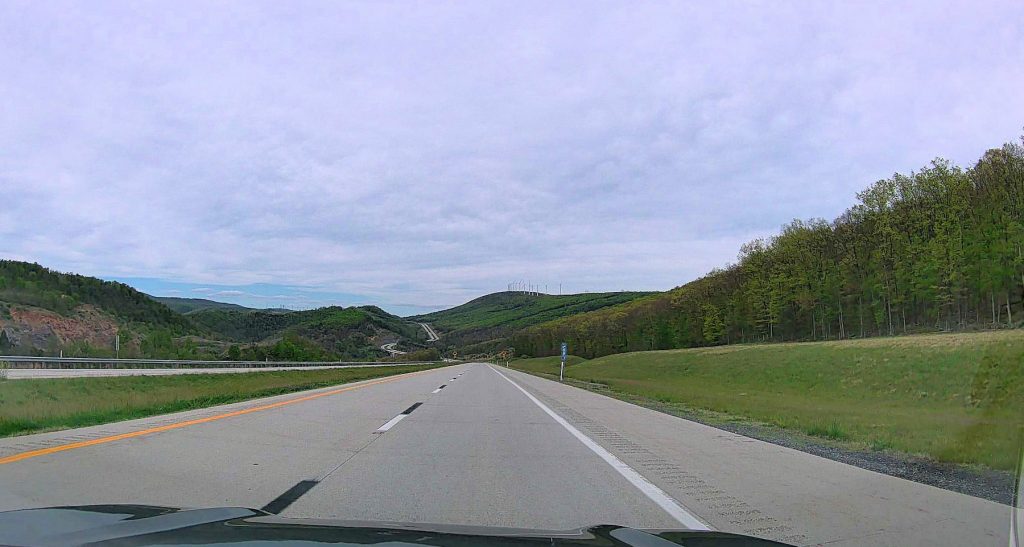
Nearing Mt Storm on Rt 48.
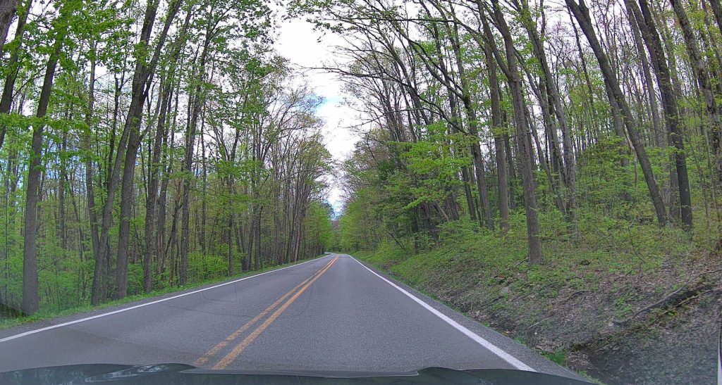
At Thomas/Davis, we headed north on Rt 219. Suddenly, we felt like we were back in the Great Smoky National Park.
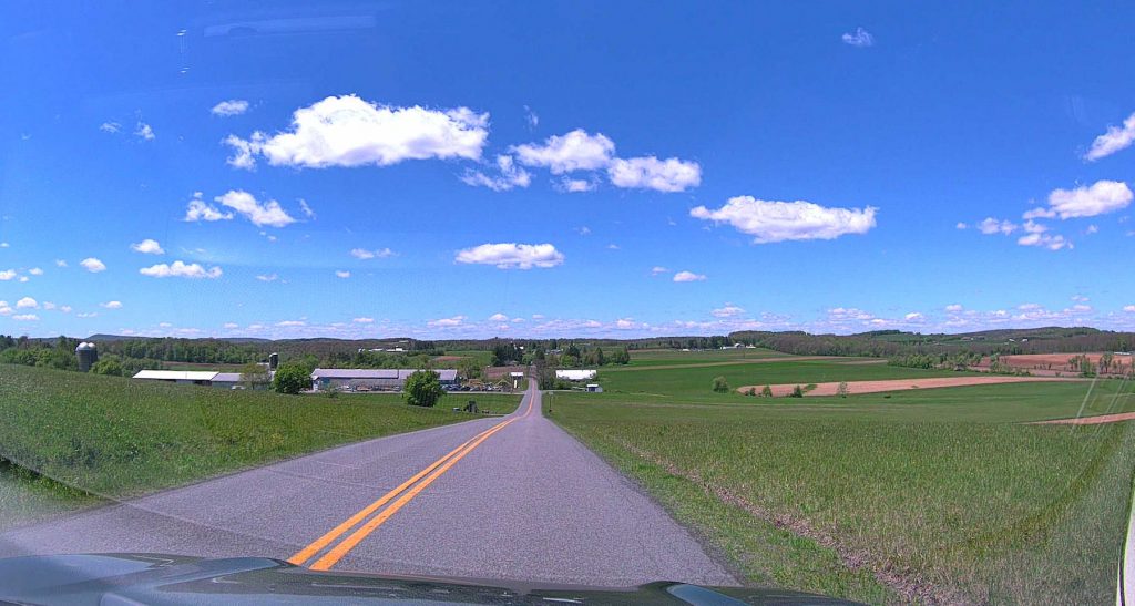
Rt 219 south of Oakland MD is a beautiful drive through Amish/Mennonite farmland.
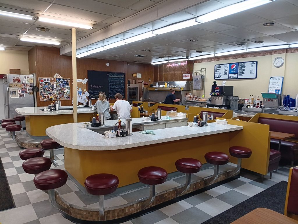
We had a late lunch at one of our favorite stops in Oakland MD – Englander’s Antiques, Grill, and Soda Fountain.
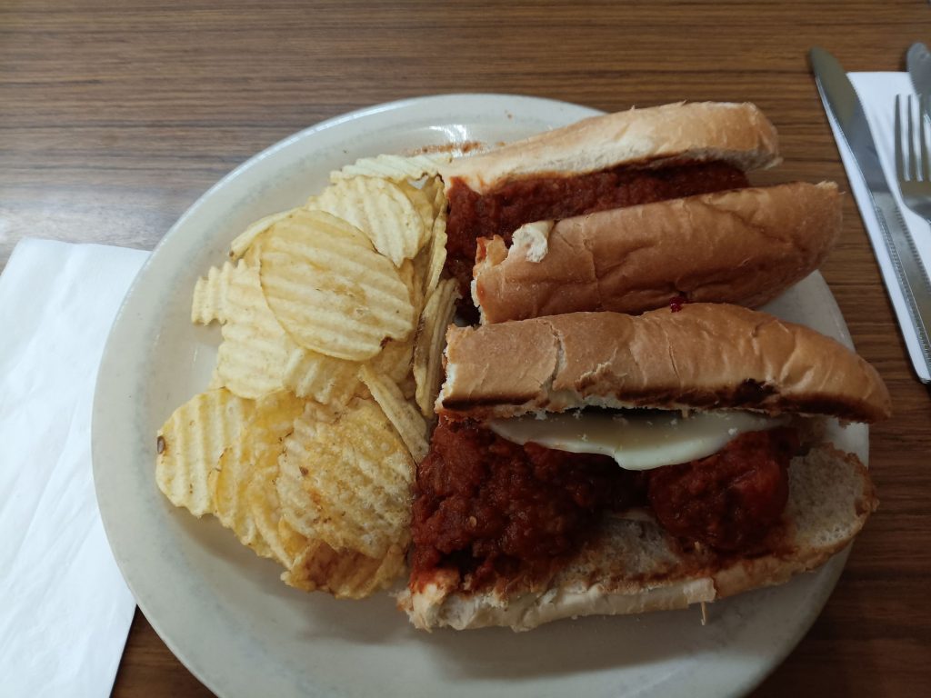
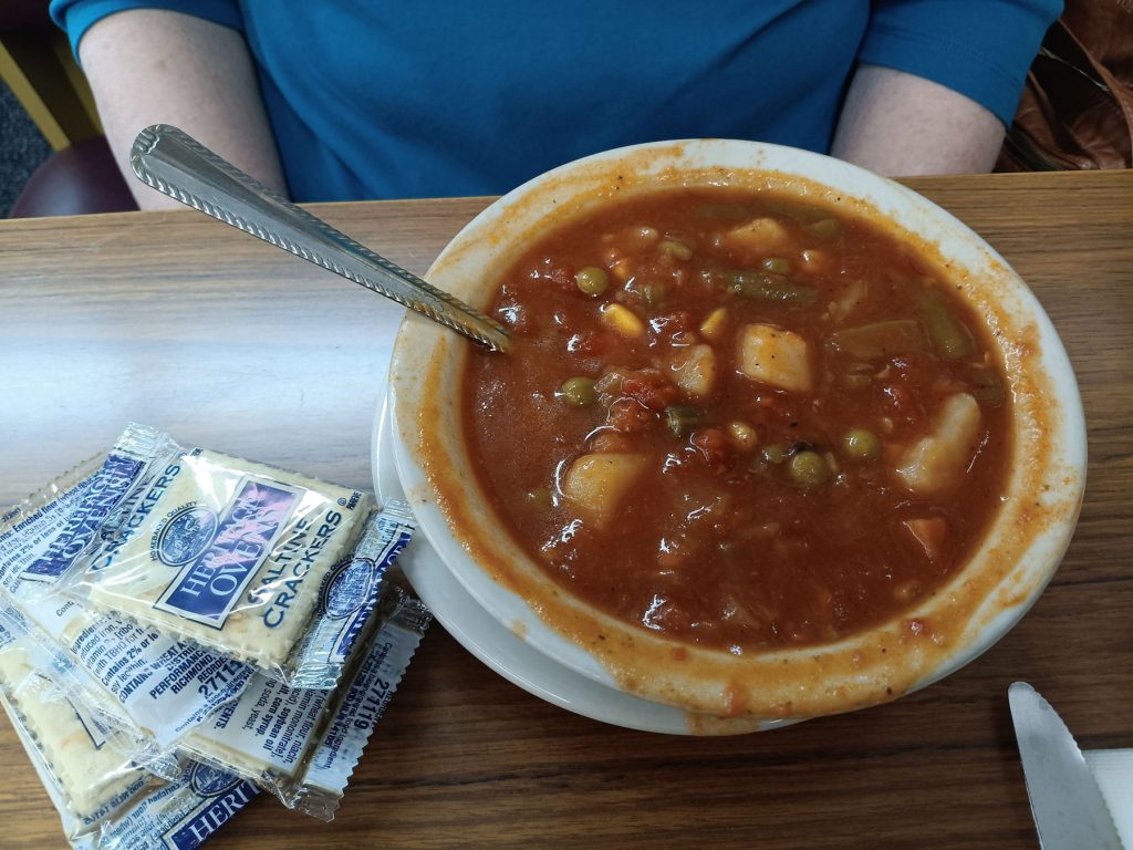
I usually get buckwheat pancakes, but today, I tried the meatball sub. Delicious! Beth had her favorite – homemade vegetable soup.
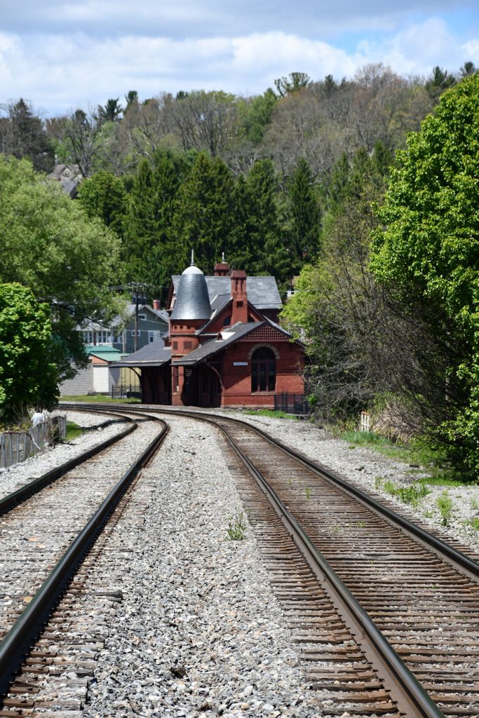
One last photo of Oakland MD – the old train station downtown.
A little more than an hour later, we were home! Over 1,500 miles of driving and exploring the Great Smoky Mountain National Park, the Pisgah National Forest, the Foothills Parkway, the Blue Ridge Turnpike, and several botanical gardens. Whew!
Thank you for joining us on our adventure! We hope you enjoyed the photos and notes.