


New England, Acadia National Park, and Niagara Falls
We have talked about visiting New England since we were newlyweds. This summer, we decided it was time to go!
Our work schedule opened up so that we had a nice 10-day window of opportunity.
MONDAY – June 15
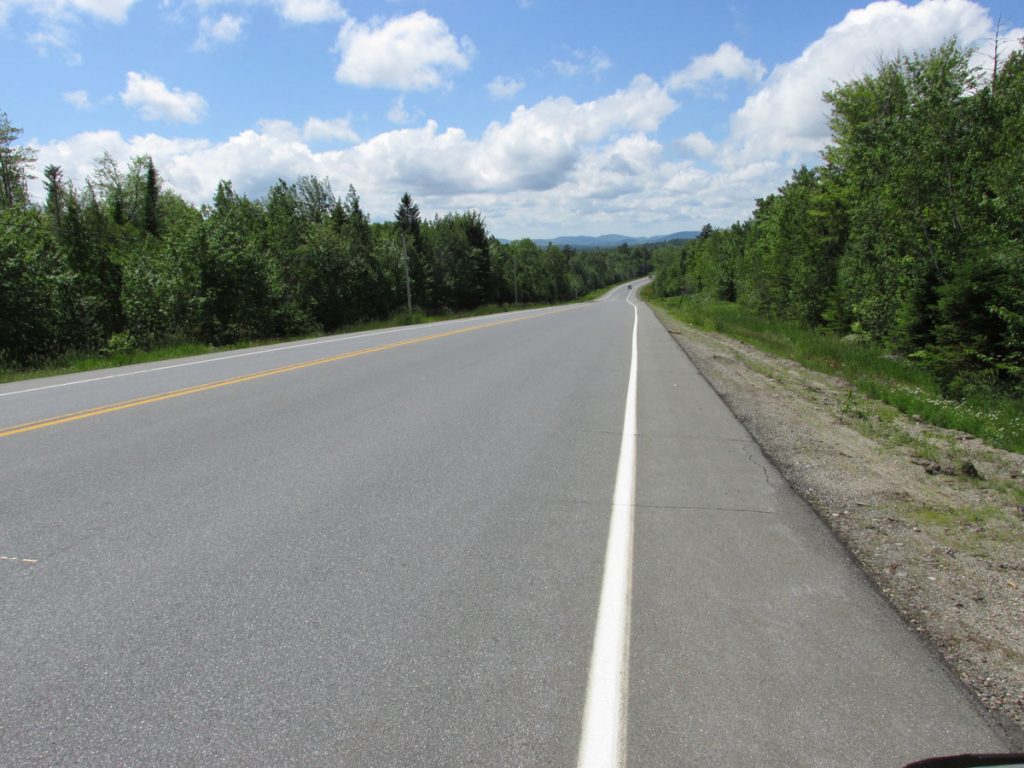
We left on a Monday morning and drove diagonally up through Pennsylvania on 2-lane roads. We like to avoid the interstates whenever possible. The slower pace puts you more in touch with your surroundings, and we often find interesting places that you miss on the interstates (like Mom&Pop Diners – our favorite stops!)
We didn’t take many photos going up through Pennsylvania since it is much like West Virginia.
that runs along the Pennsylvania/New Jersey border.
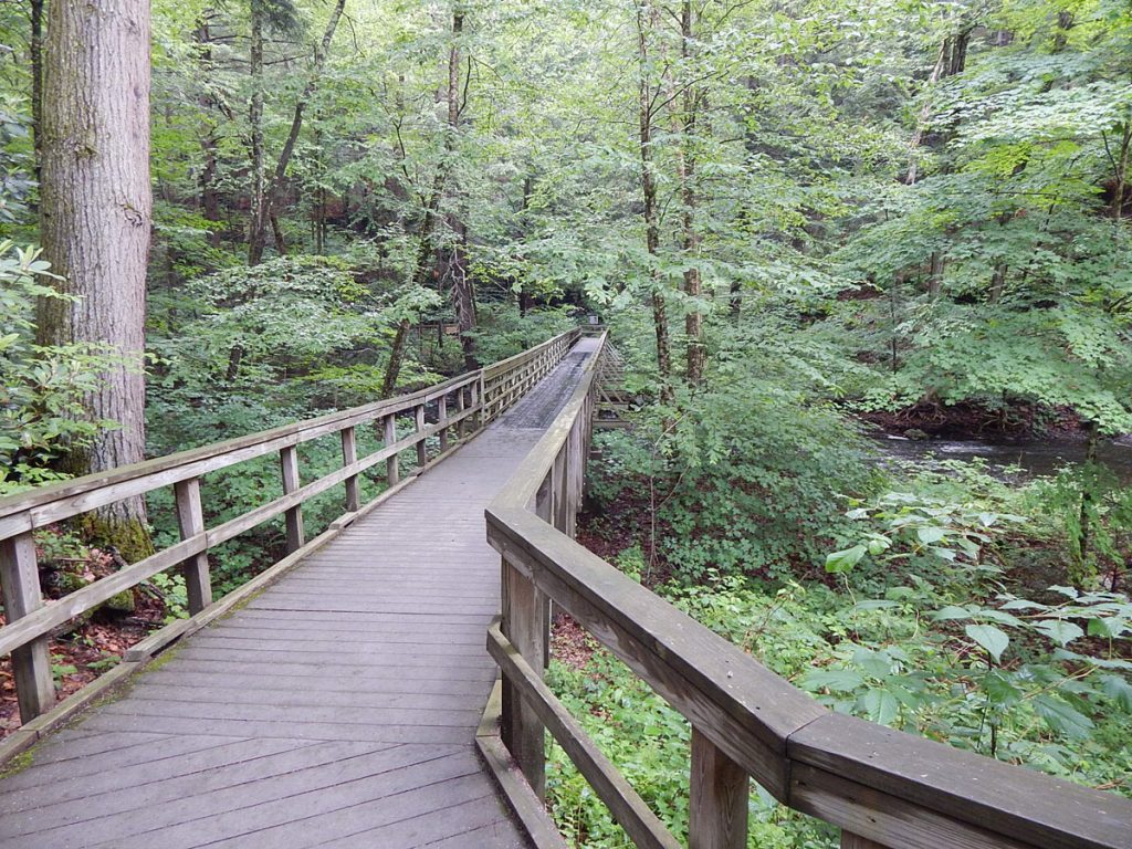
Along the way, we stopped at Dingmans Falls Trail and hiked back to the falls.
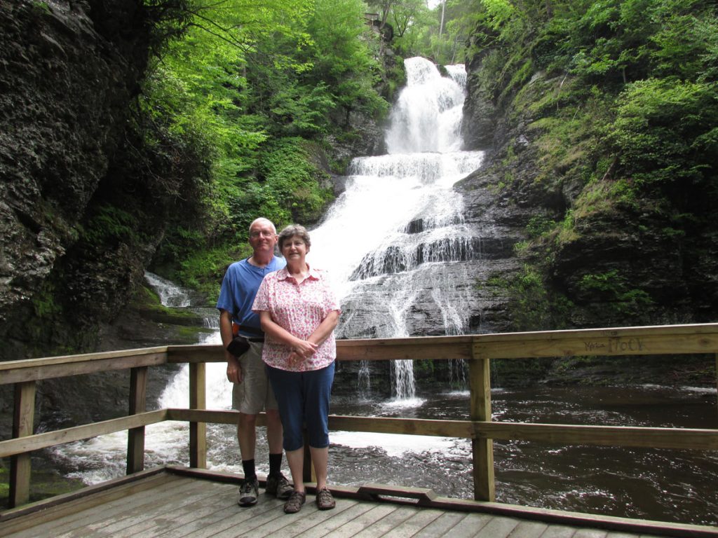
We started our trip with a waterfall on the first day, and ended our trip a week later at another waterfall.
TUESDAY – JUNE 16
After a great night’s sleep, we were on the road early (as usual) heading northeast through the Poconos of Pennsylvania and the Catskills of New York. We both agreed that neither of these areas has anything over West Virginia. When the leaves change colors this fall, we will be riding around West Virginia enjoying the beauty in our own home-state.
As we approached the east end of the Catskills Park, we saw a sign for Woodstock. Yes, THE Woodstock! We couldn’t resist this short detour. However, the famous concert was held over 40 miles away, so we didn’t get to relive that summer of 1969 (when we were both 11 years old).

When it is published, you will see us walking down the street in Woodstock!
Groovy, man!
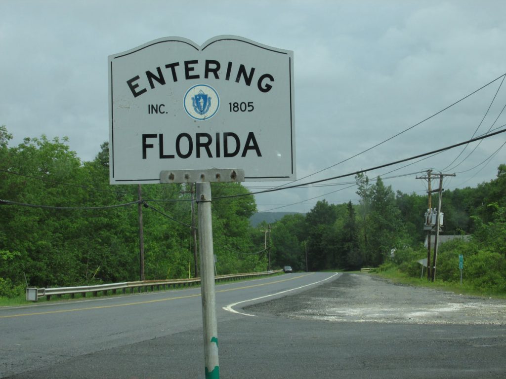
Actually, welcome to the town of Florida, Massachusetts.
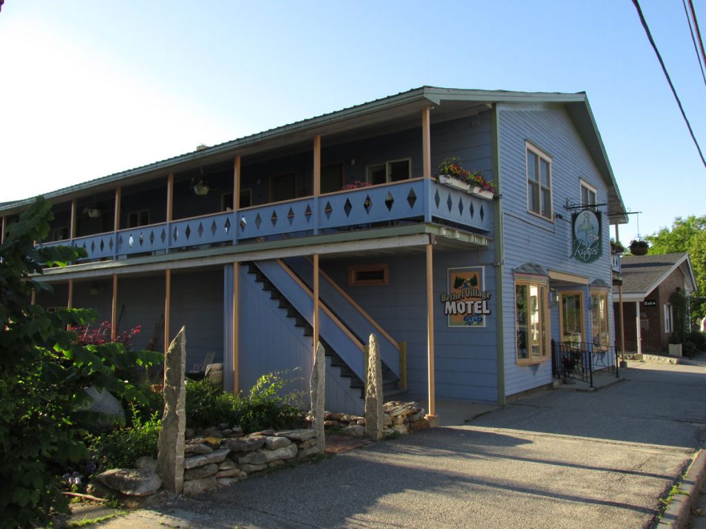
That night, we stayed in Keene, New Hampshire.
WEDNESDAY – June 17
After a great breakfast at the hotel (Best Western), we were on the road again.
Destination today – Acadia National Park, Maine
Shortly after this, Beth started her serious lookout for moose.
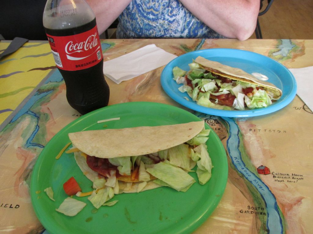
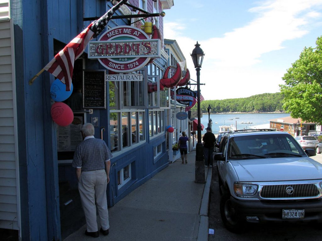
I actually missed a turn and ended up downtown in this interesting old town.
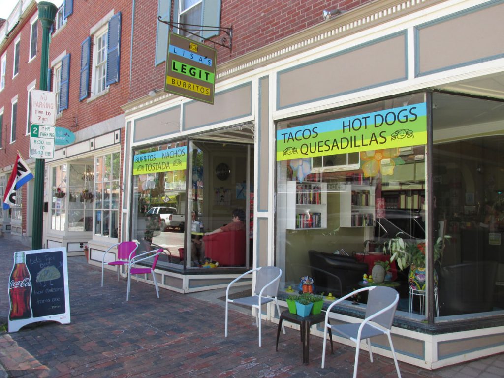
Lisa’s Legit Burritos Website
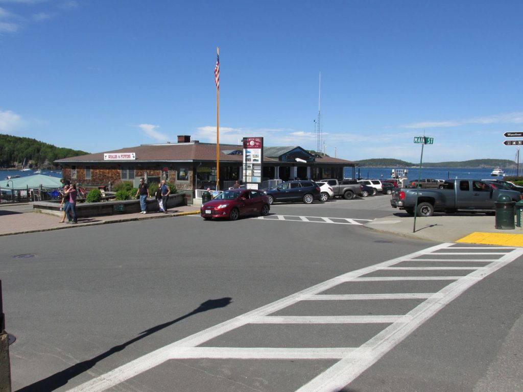
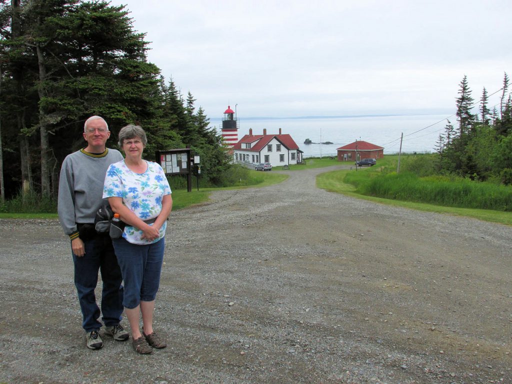
With many miles to go, we headed through Portland, Maine and up to State Rt 1 along the coast of Maine. We made it to our hotel (Hampton Inn in Ellsworth, just outside the entrance to Acadia National Park) by late afternoon.
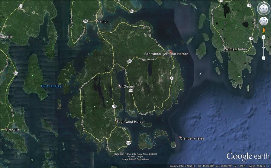
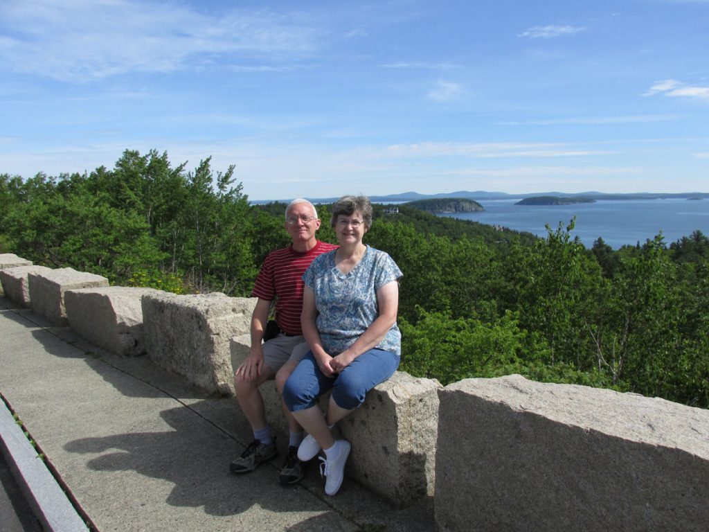
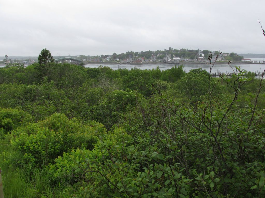
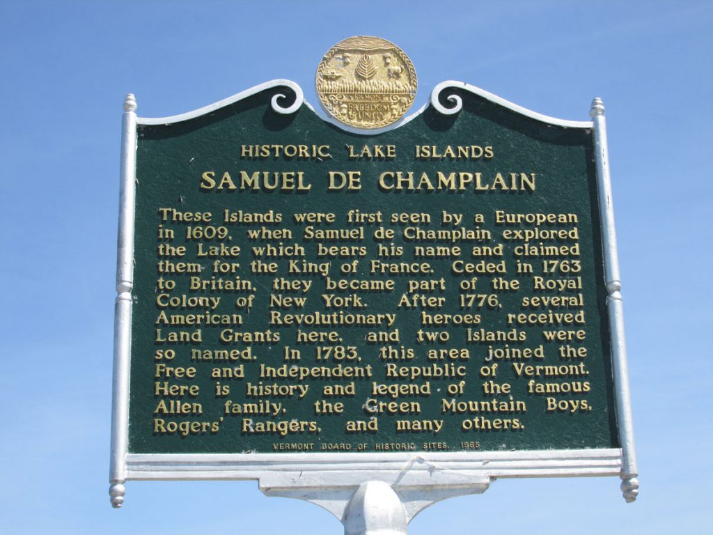
In early September 1604, French explorer Samuel de Champlain ran aground on a rock ledge believed to be just off Otter Cliffs, and when he came ashore to repair his boat he met local natives. Champlain named the island Isles des Monts Deserts, meaning “island of barren mountains”—now called Mount Desert Island, the largest in Maine.
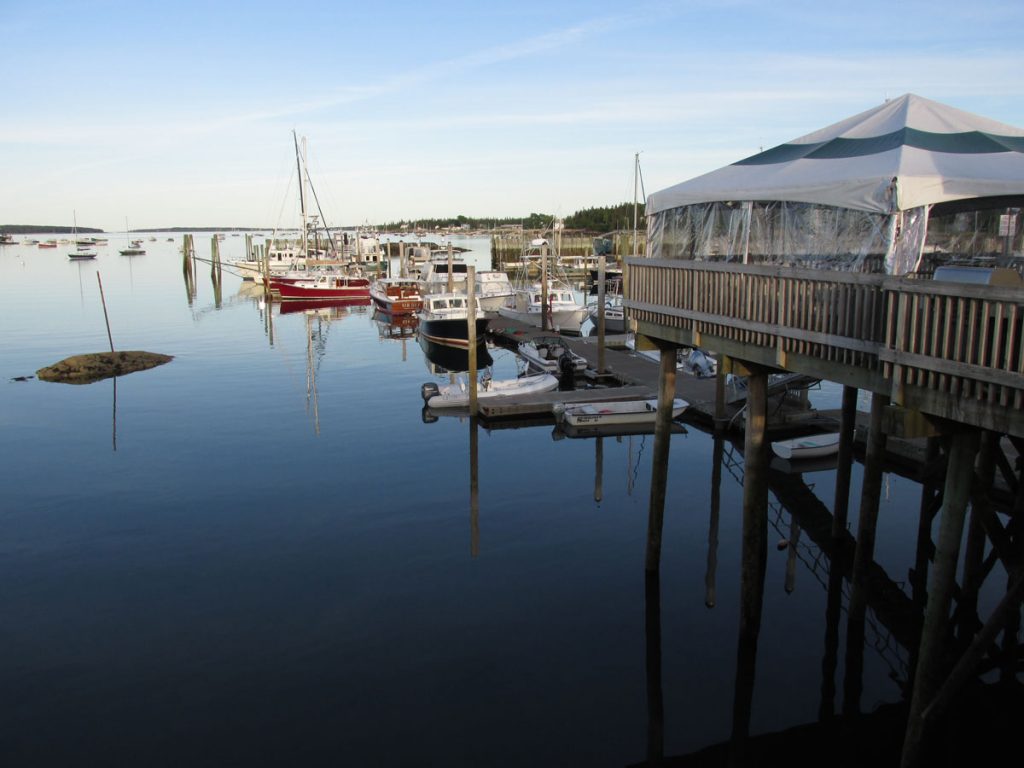
This is the harbor at Trenton.
THURSDAY – June 18
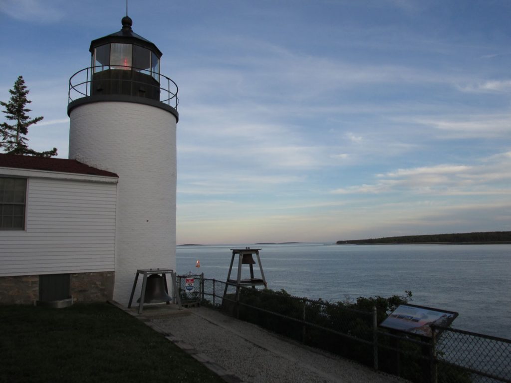
We awoke early and were at Acadia National Park to buy a pass ($25 for one week is the cheapest ticket).
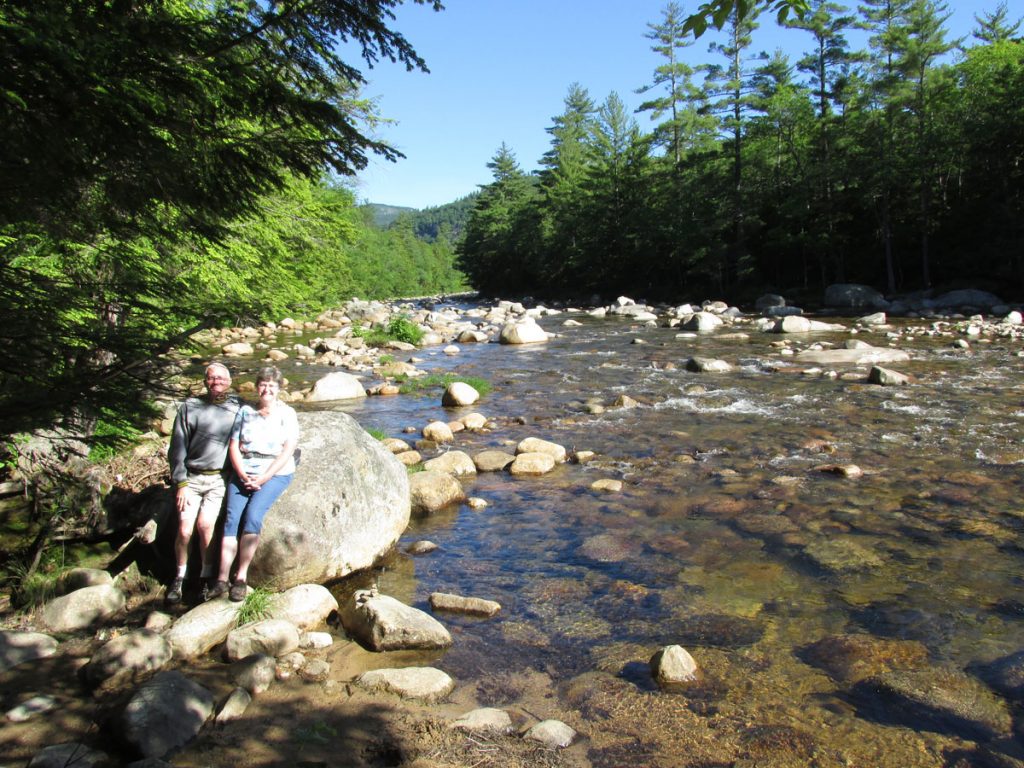
Then we began our loop clockwise around the north part of Mt Desert Island.
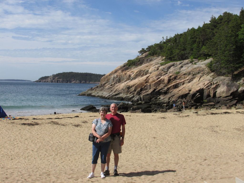
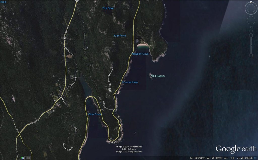
Next, we continue our loop south around Otter Cove.
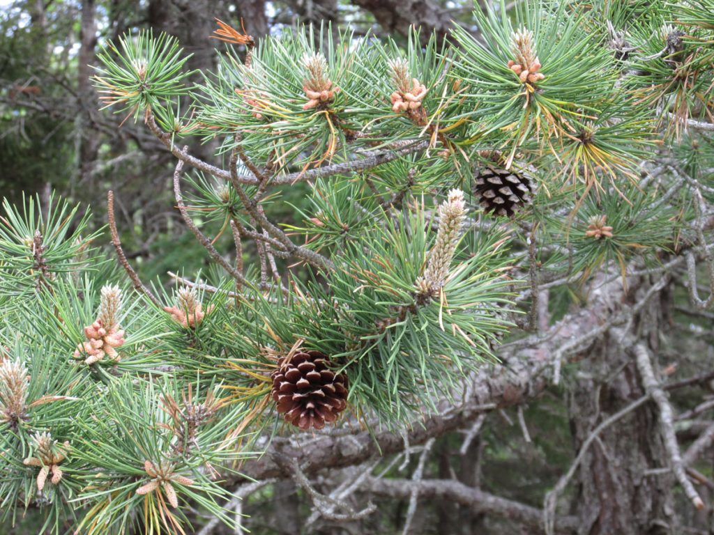
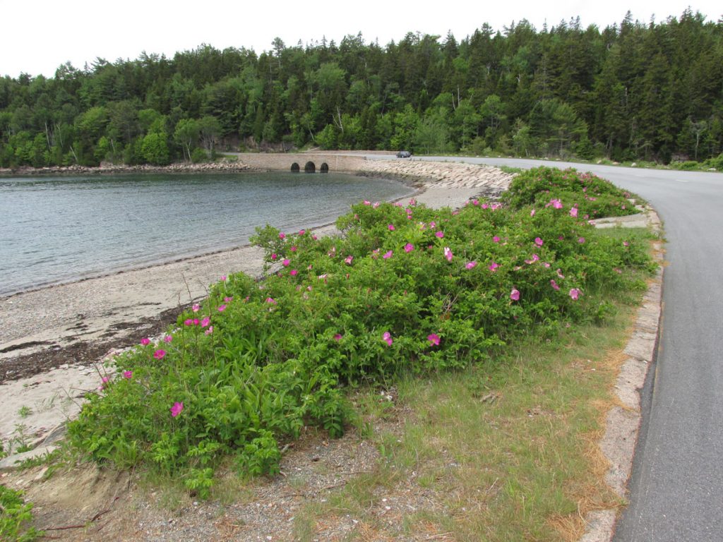
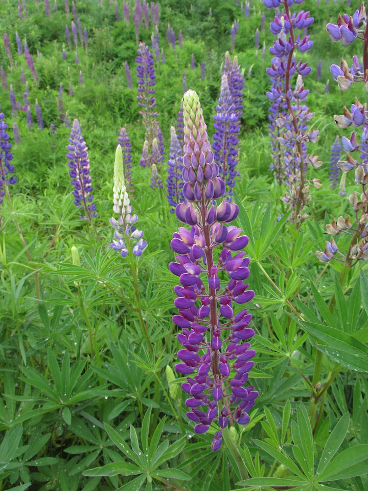
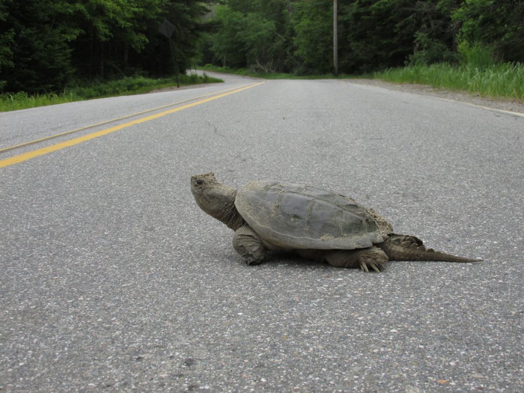
Check out the one beginning to bloom in the lower right.
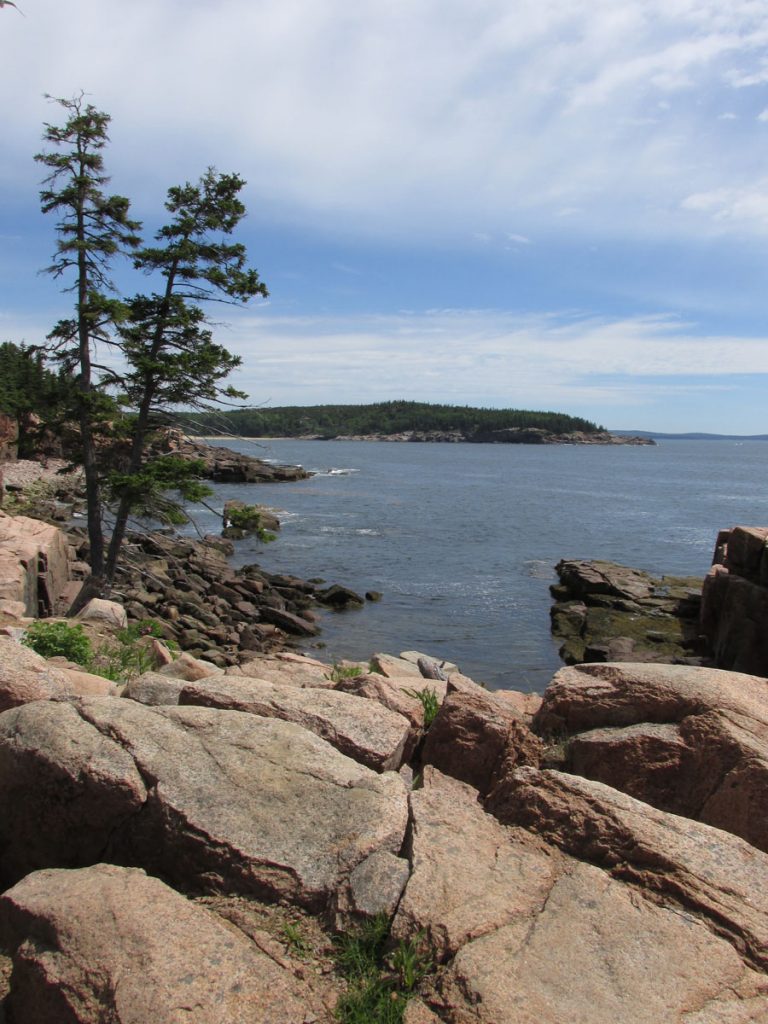
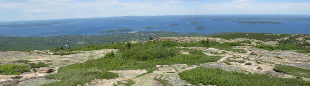
Thunder Hole is a rock formation on the shore that channels incoming waves into a huge spout. However, the tides and winds were calm, so no show today.
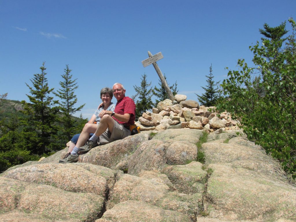
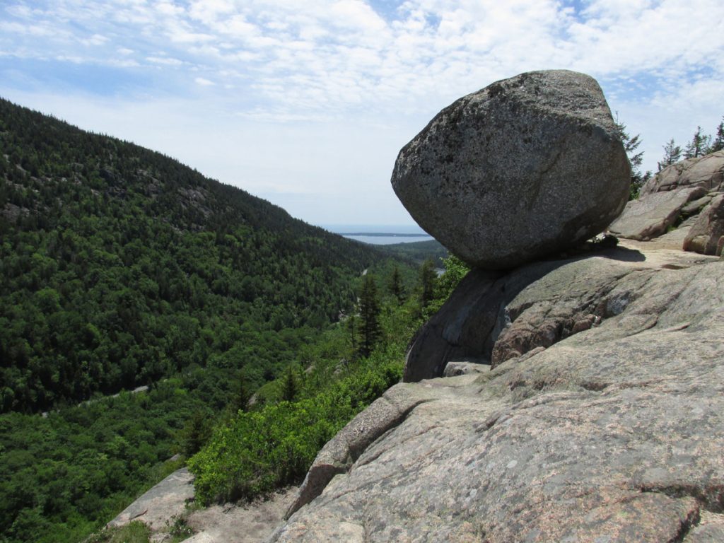
there is a unique feature worth the strenuous 1/2-mile climb to the summit. (See next photo)
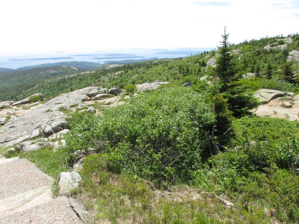
On the drive up the winding road, I commented how this looks so much like the peak of Spruce Knob in West Virginia.
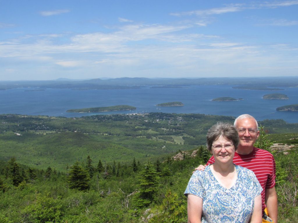
We’re heading down there for lunch next.
After lunch, we drove around the island loop (30 miles) one more time before heading back to the hotel.
Tomorrow, we will head up the coast of Maine to the eastern-most point in the continental USA.
FRIDAY – June 19
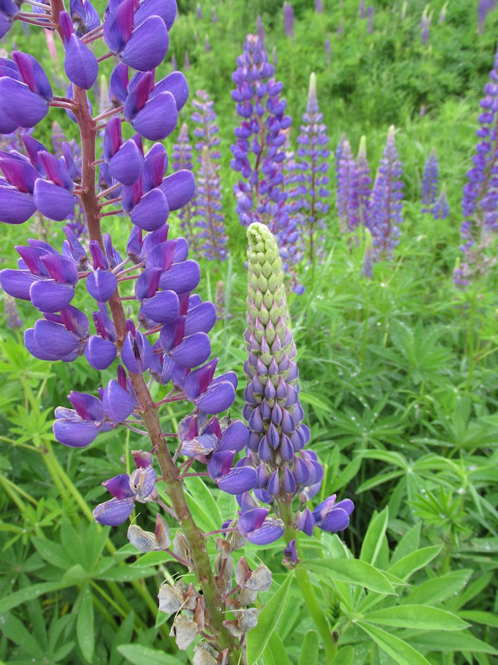
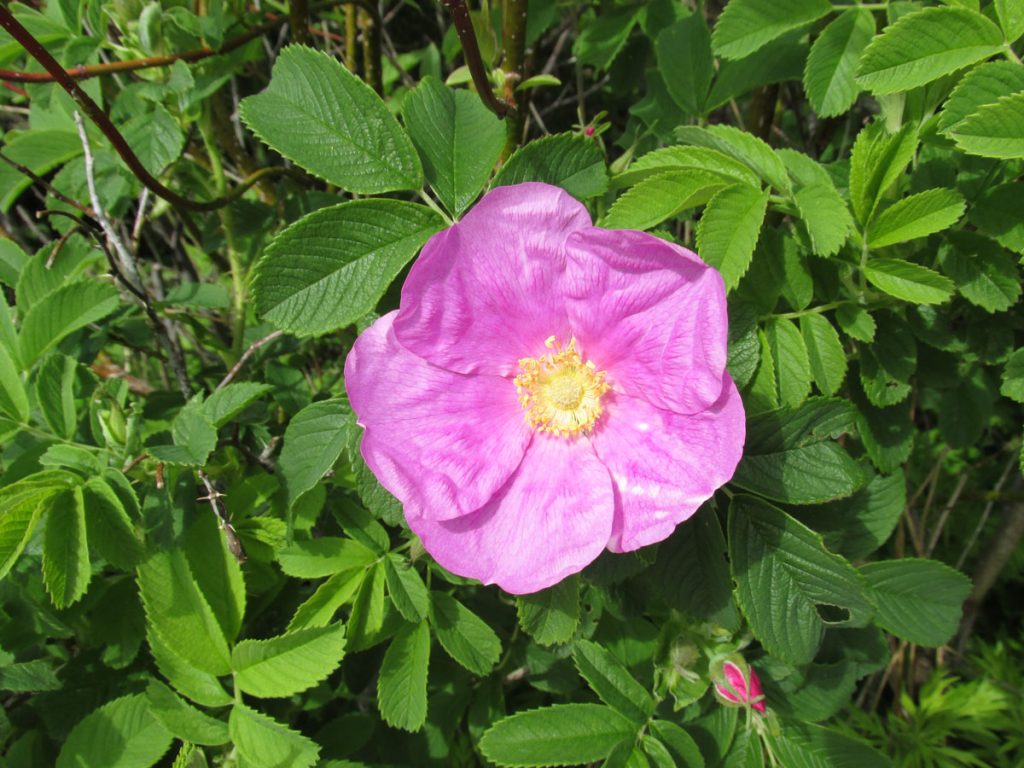
Here is a bud beginning to open up.

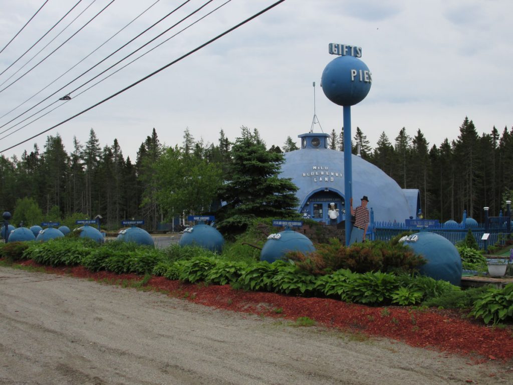
http://www.roadsideamerica.com/tip/13693
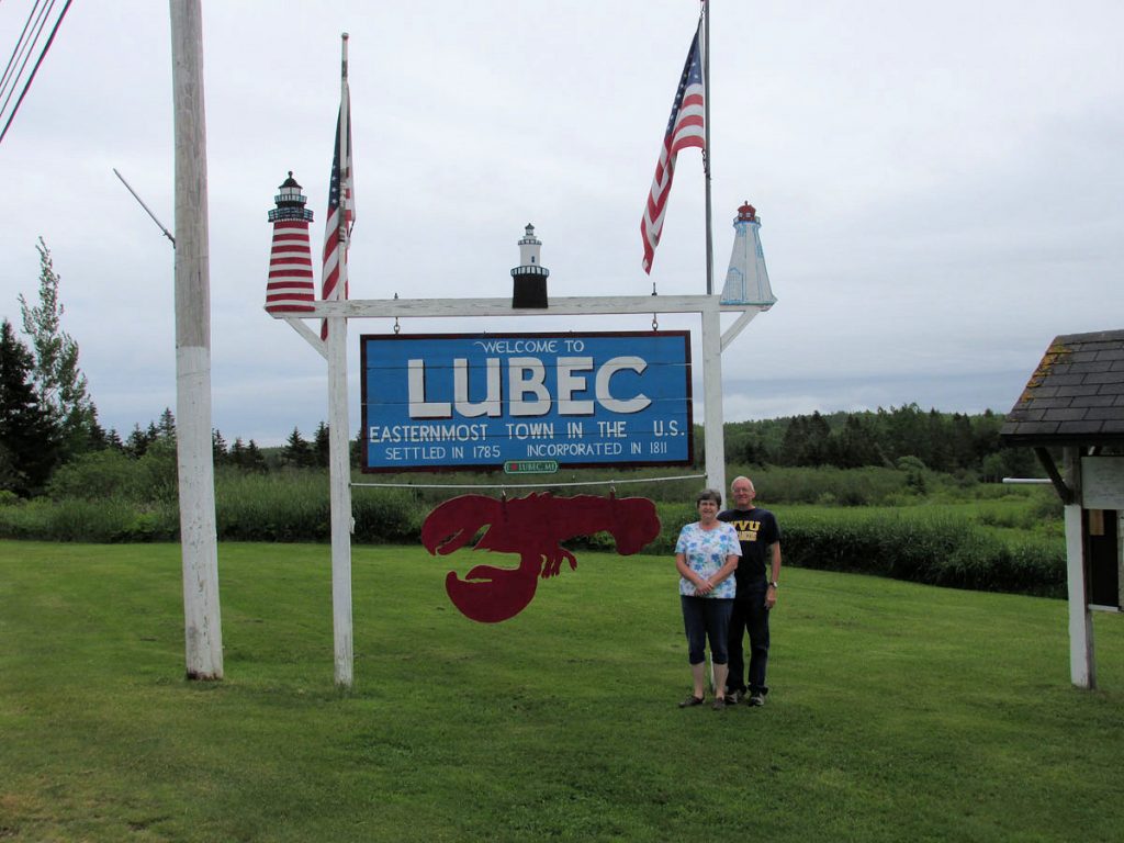
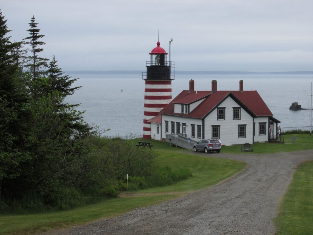
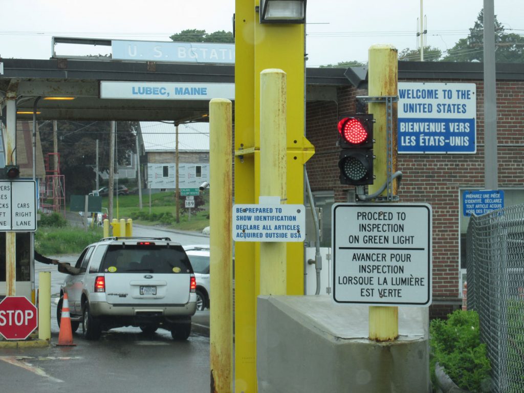
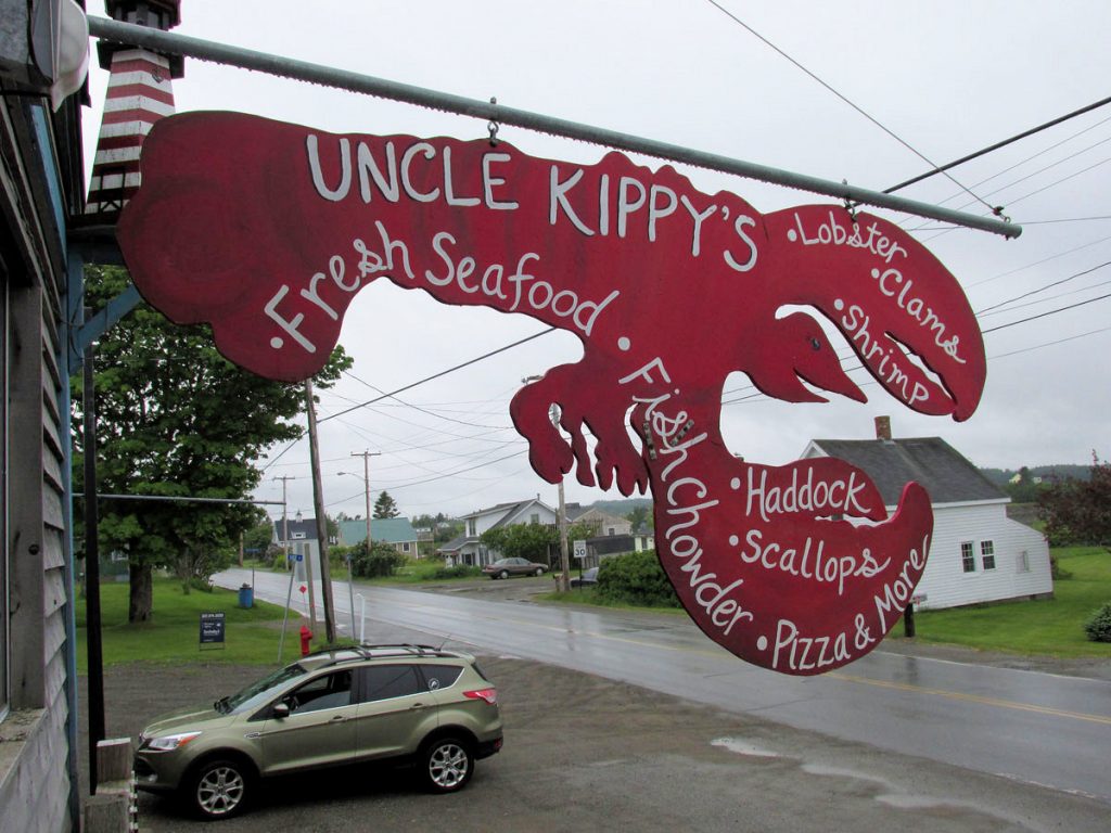
The Easternmost Town In The U.S.
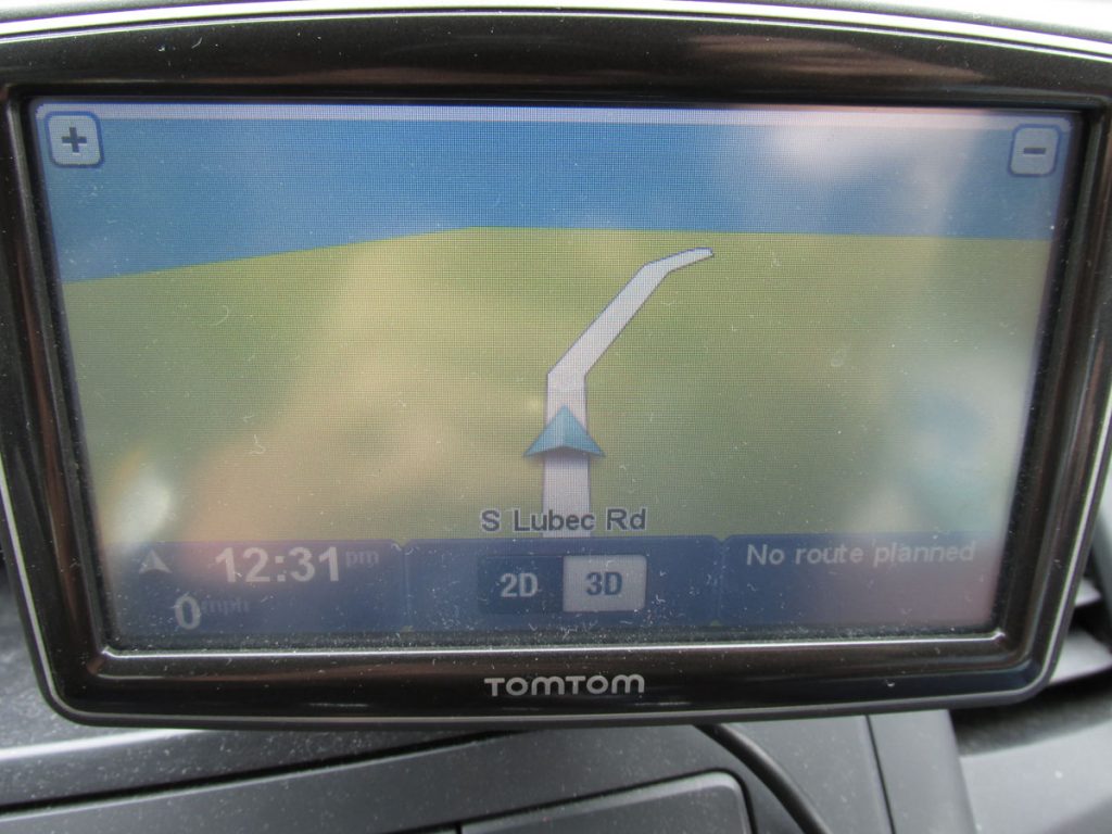
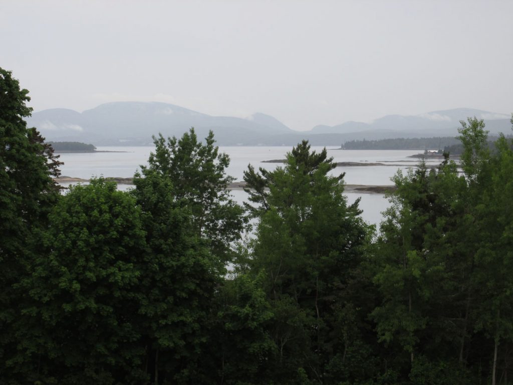
That blue area up ahead is the Bay of Fundy and the Atlantic Ocean.
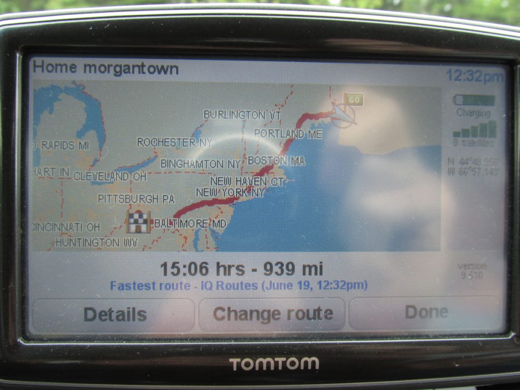
I think we had gone about 1,200 miles at this point (not including sightseeing).
We had our passports, so it was an easy side trip across the bridge.
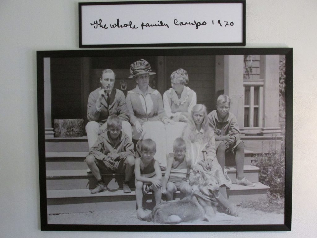
Campobello has always relied heavily on fishing as the mainstay of the island economy; however, the Passamaquoddy Bay region’s potential for tourism was discovered during the 1880s. Campobello Island became home to a similar, although much smaller and more exclusive, development following the acquisition of some island properties by several private American investors. A luxurious resort hotel was built and the island became a popular summer colony for wealthy Canadians and Americans, many of whom built grand estates there.
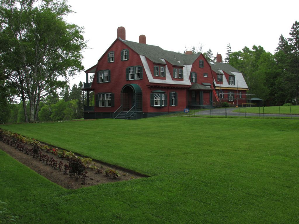
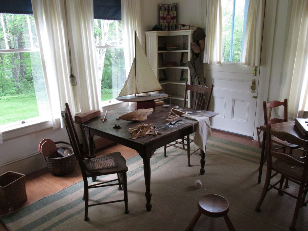
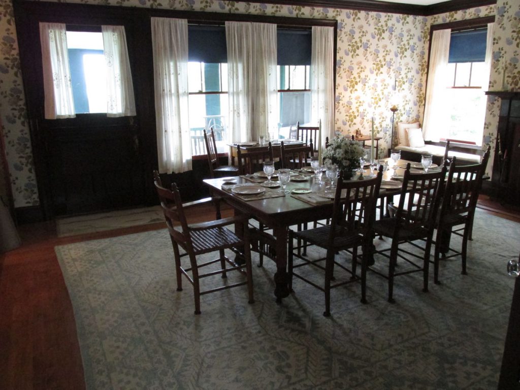
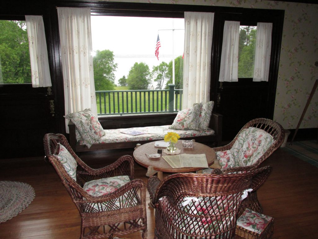
Included in this group were Sara Delano and her husband James Roosevelt Sr. Sara Delano had a number of Delano cousins living in Maine, and Campobello offered a beautiful summer retreat where their family members could easily visit. From 1883 onward, the Roosevelt family made Campobello Island their summer home. Their son, Franklin D. Roosevelt, would spend his summers on Campobello from the age of one until, as an adult, he acquired a larger property — a 34-room “cottage” — which he used as a summer retreat until 1939. It was at Campobello, in August 1921, that the future president fell ill with a paralytic illness, at the time thought to be polio, which resulted in his total and permanent paralysis from the waist down. Roosevelt did strive for seven years to regain use of his legs but never again walked unassisted.
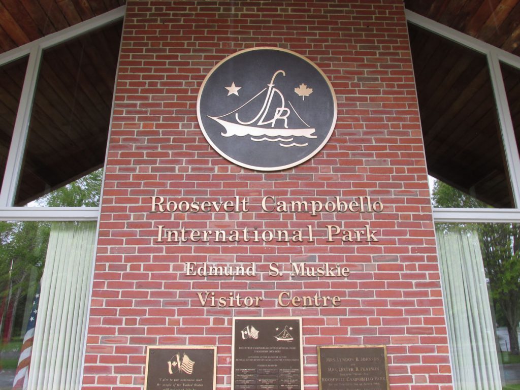
subsequently donated the cottage to the U.S. and Canadian governments in 1963 as an international park. The Roosevelt Campobello International Park is the only one of its kind because it is run by both the Canadian and American governments, the park being located in Canadian territory. The park is now equally staffed by both Americans and Canadians.
(From Wikipedia)
(yes, that’s how they spell it in once-French Canada)
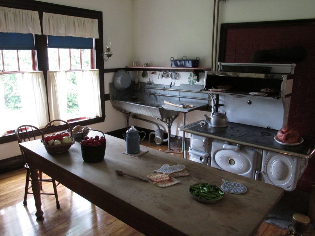
There was a small propane stove used during the hot summers.
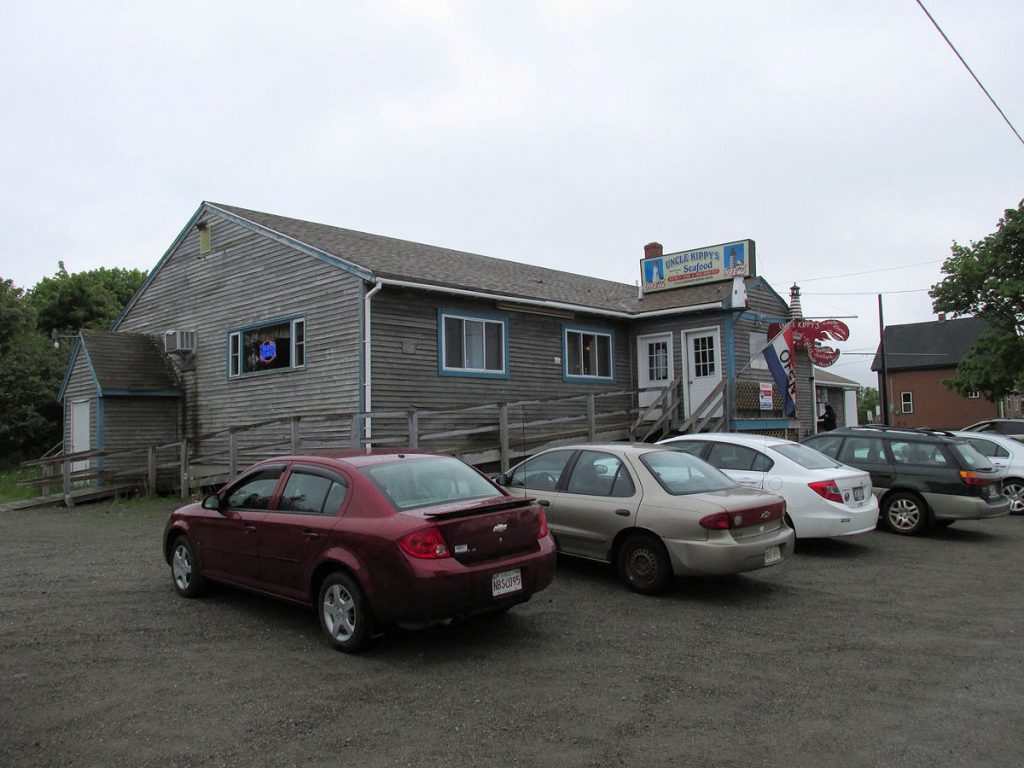
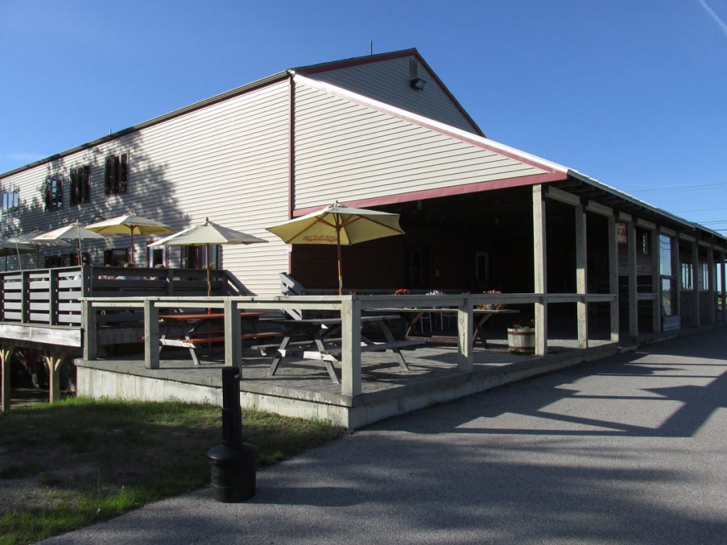
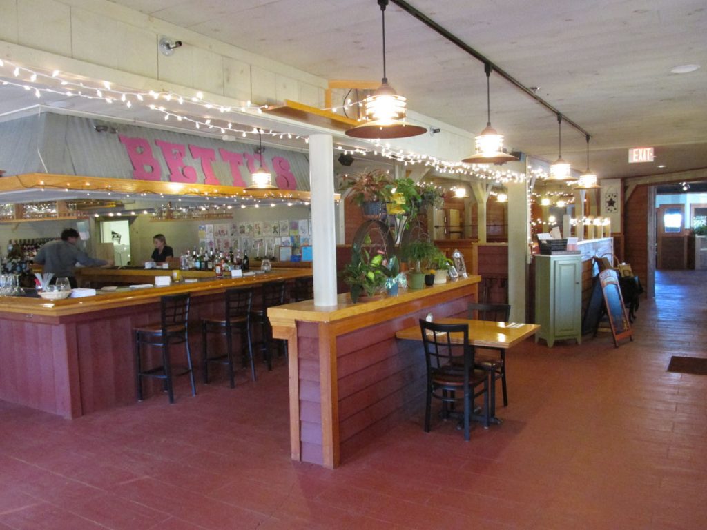
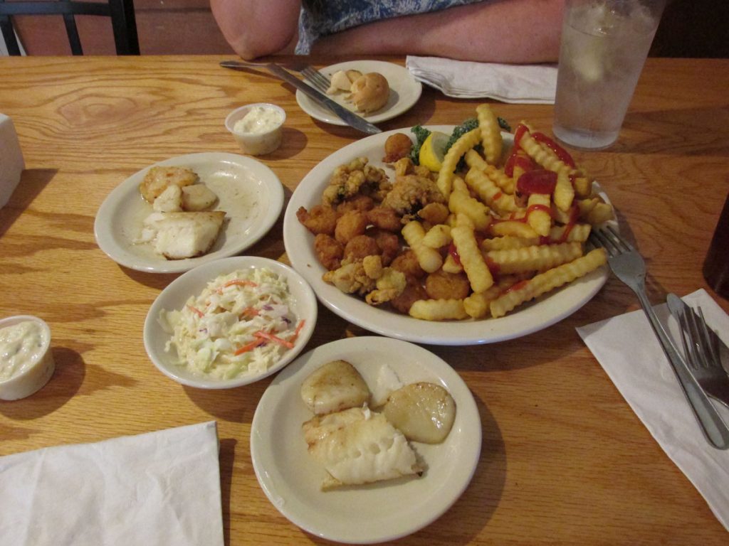
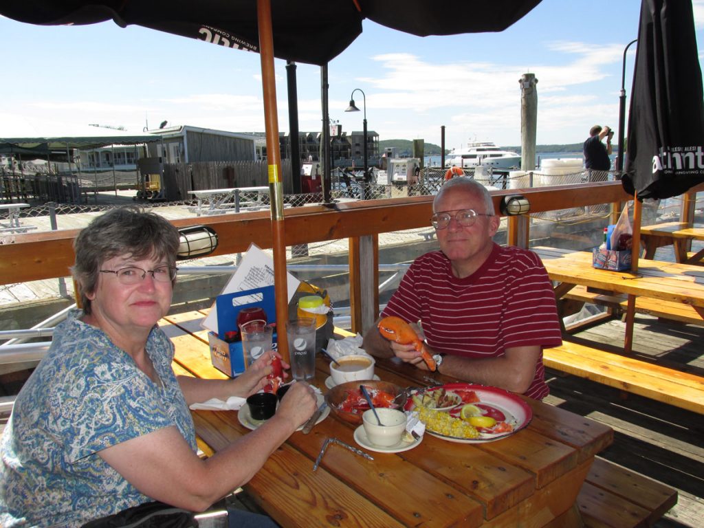
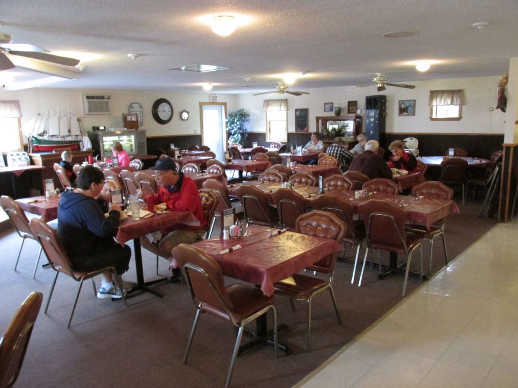
Even the local postmaster was there with her husband for lunch.
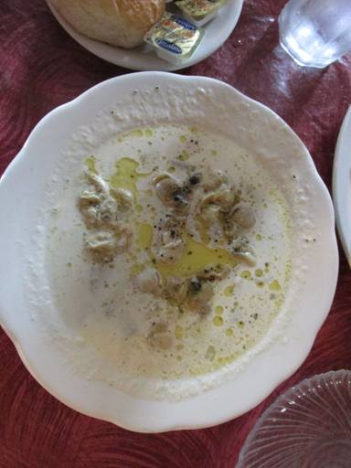
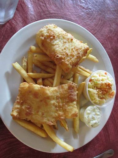
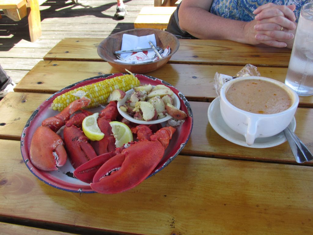
Lunch is served: Clam chowder (Left) and Cod & Fries (Right). Delicious!
(pronounced Bang-gore, not Banger)
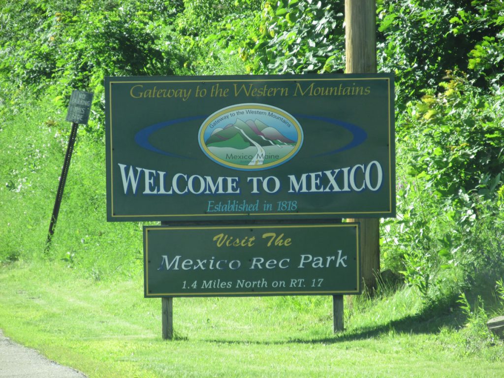
Welcome to the town of Mexico, Maine.
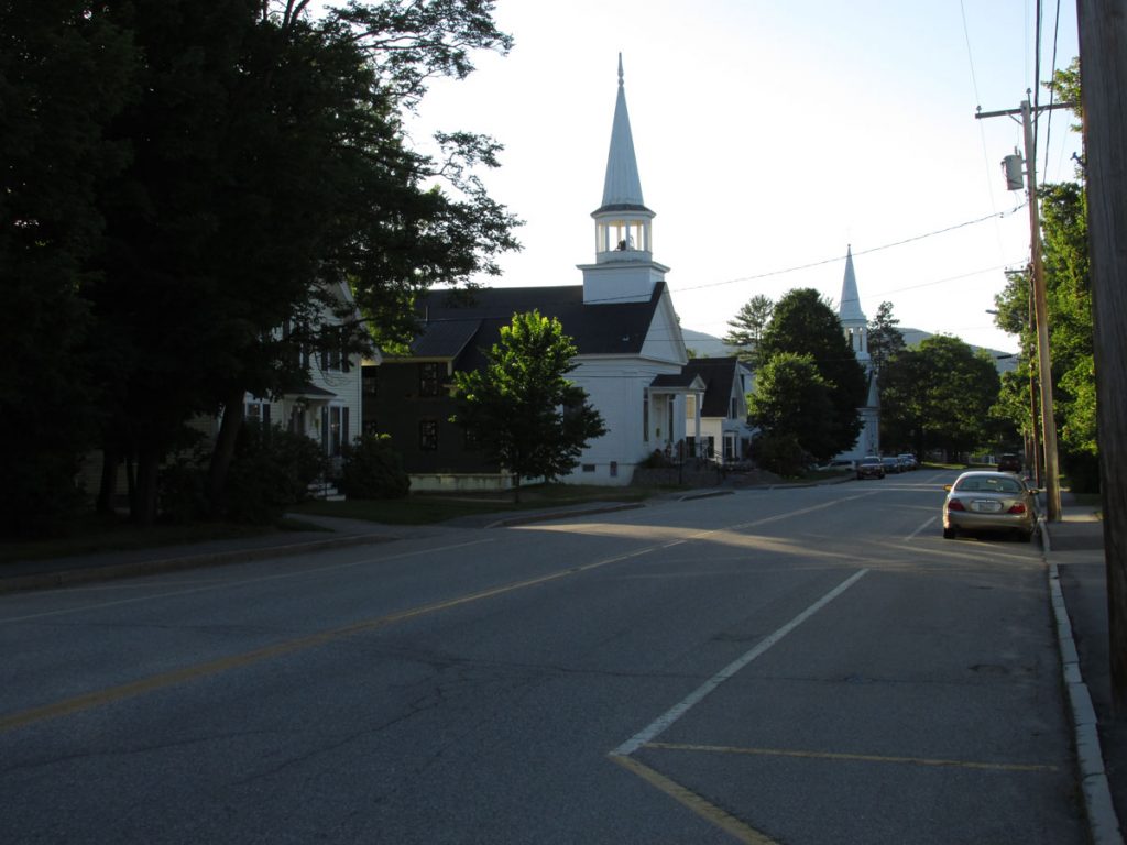
It was an interesting old town with several traditional looking old churches.
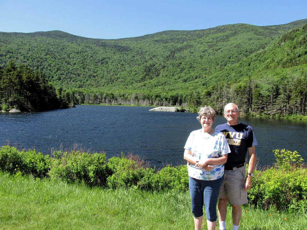
SATURDAY – June 20
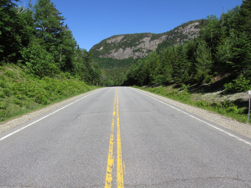
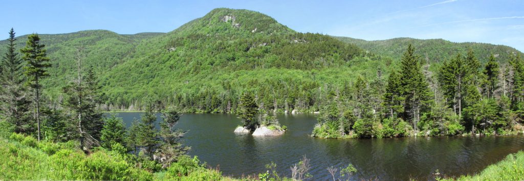
We awoke and headed west into New Hampshire to see the Mt Washington area. There is a route up the mountain for driving,
but it was closed as hundreds of runners lined up for a foot race. Oh well.
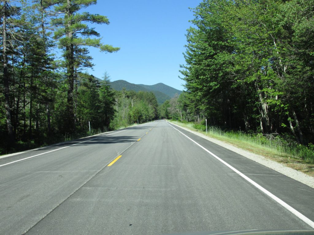
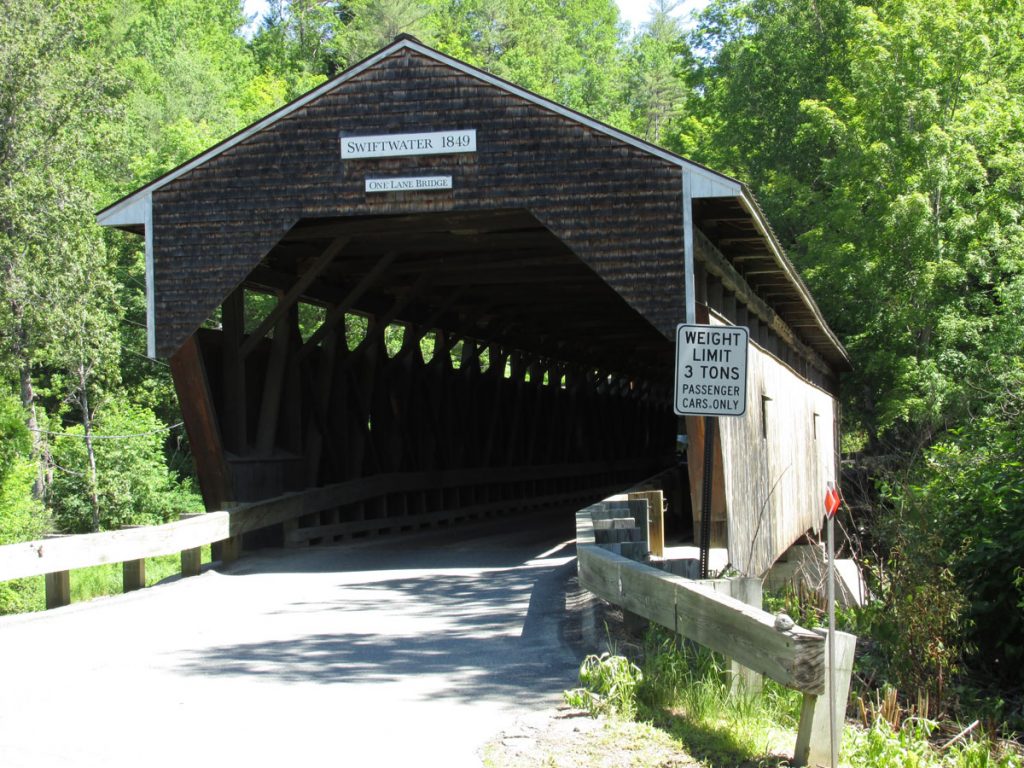
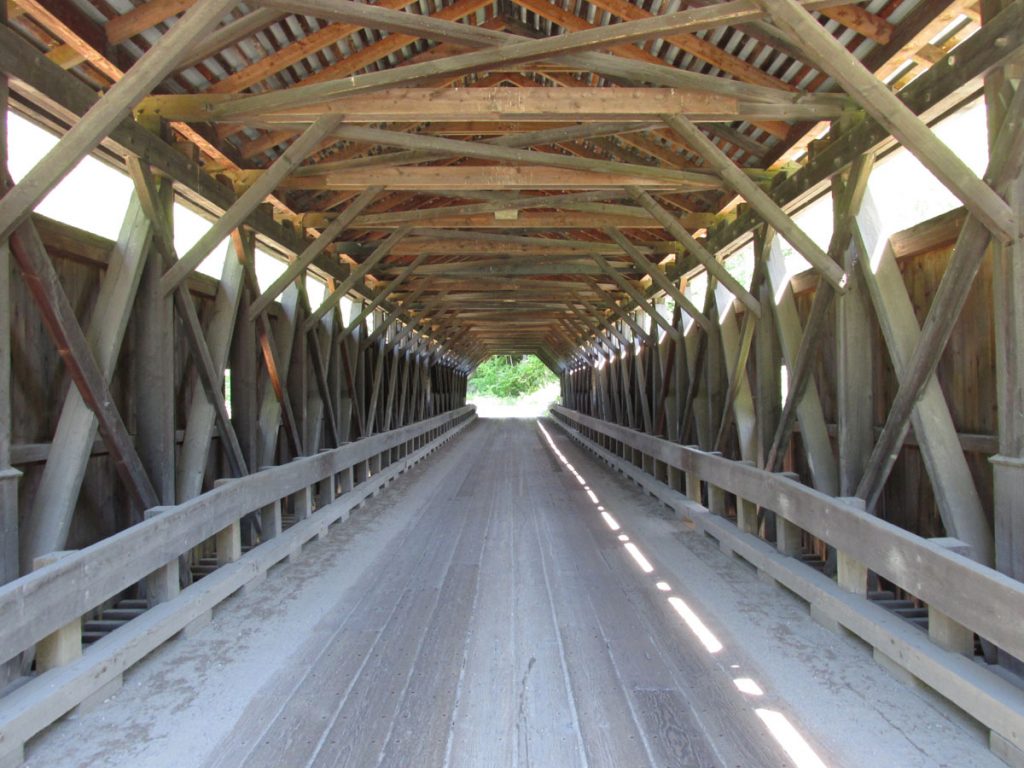
The highway runs through the White Mountains along the Swift River, with many scenic points like this.
New Hampshire Route 112 (abbreviated NH 112) is a 56.387-mile-long (90.746 km) east–west state highway in northern New Hampshire. The highway winds across the state via the scenic and mountainous area of the White Mountain National Forest. Part of this highway, which runs through the White Mountains, is known as the Kancamagus Highway. This highway is known for its views of autumn foliage and is a popular drive in September and October for so-called leaf peeping tourism. (From Wikipedia)
Read more about the Kancamagus Highway on Wikipedia
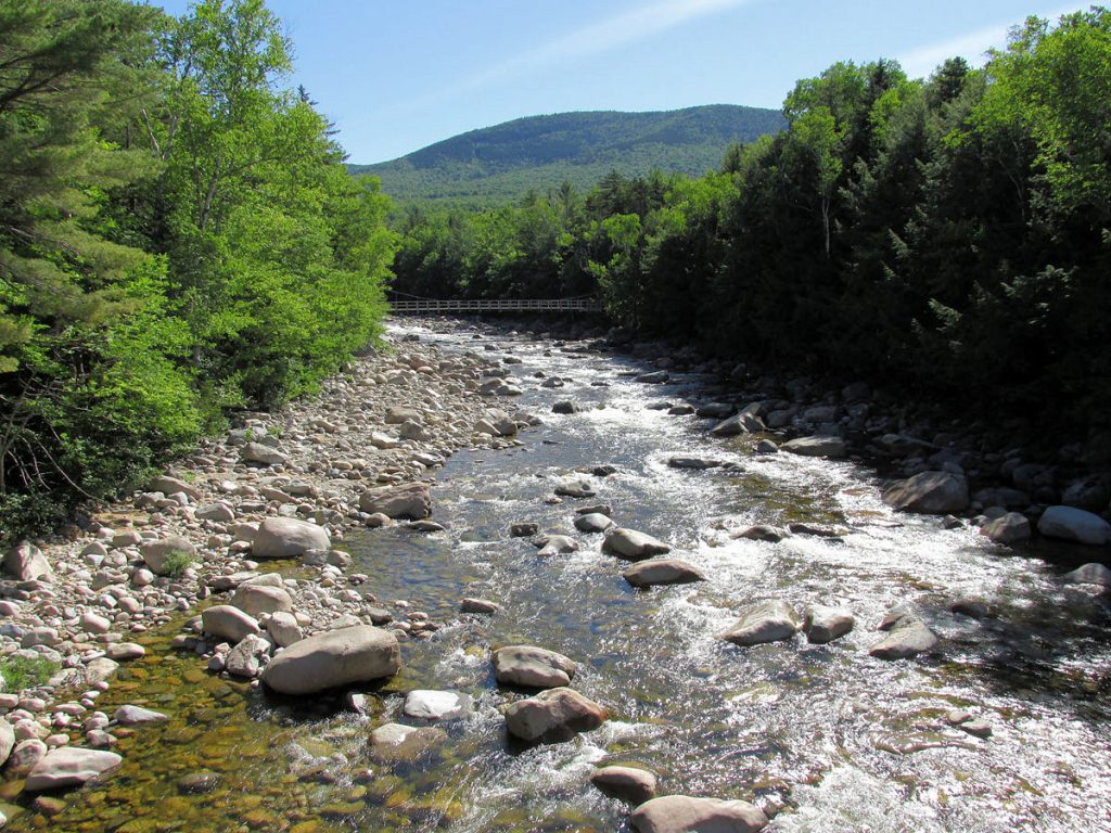
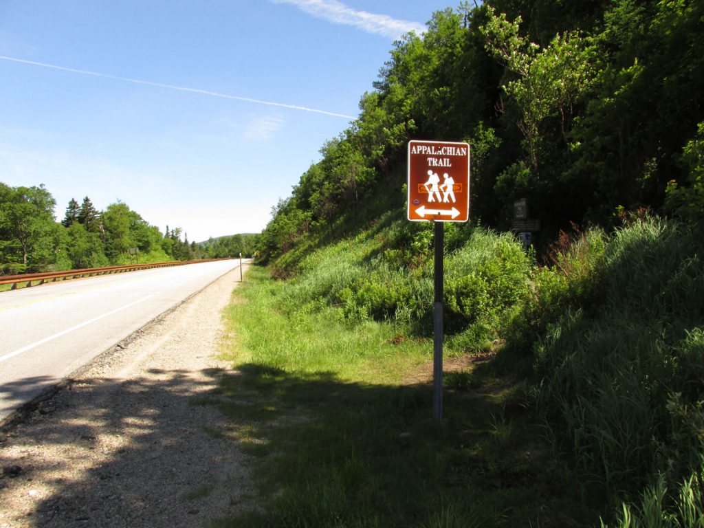
Notice the foot bridge for a hiking trail in the distance.
The Appalachian Trail runs about 2,200 miles from Georgia to Maine.
Read more about the Appalachian Trail.
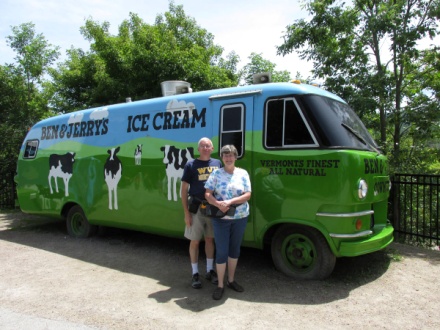
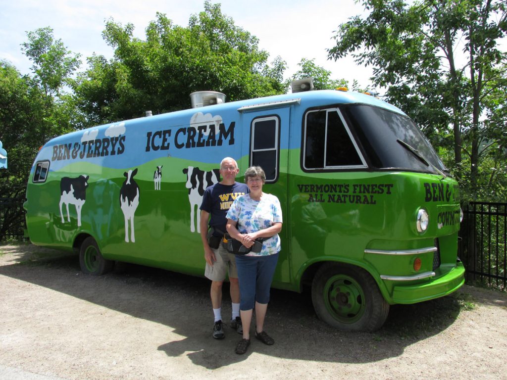
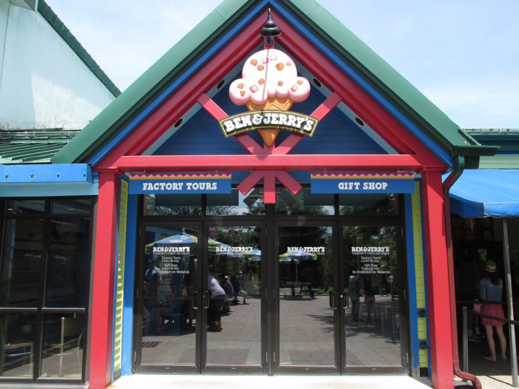
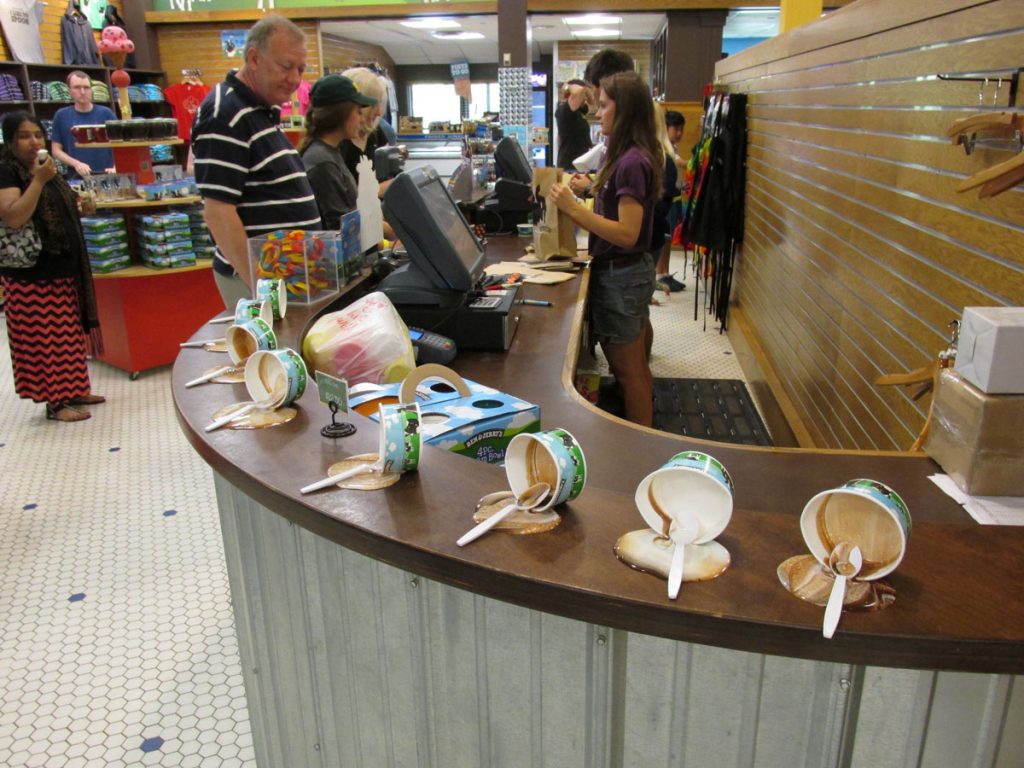
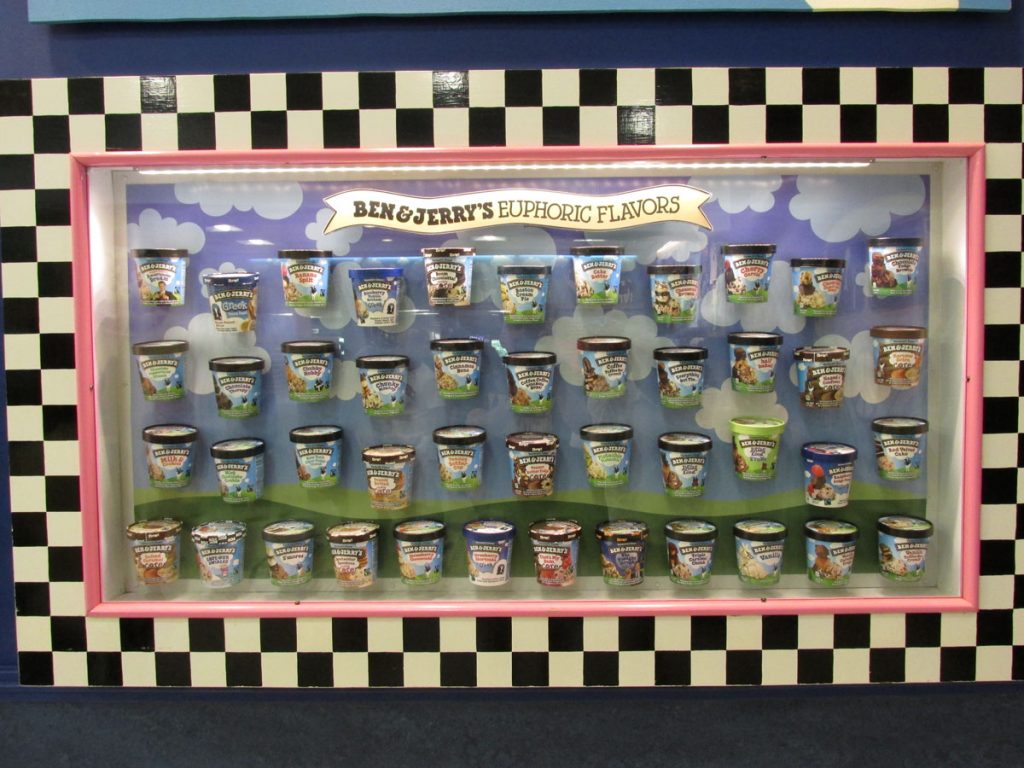
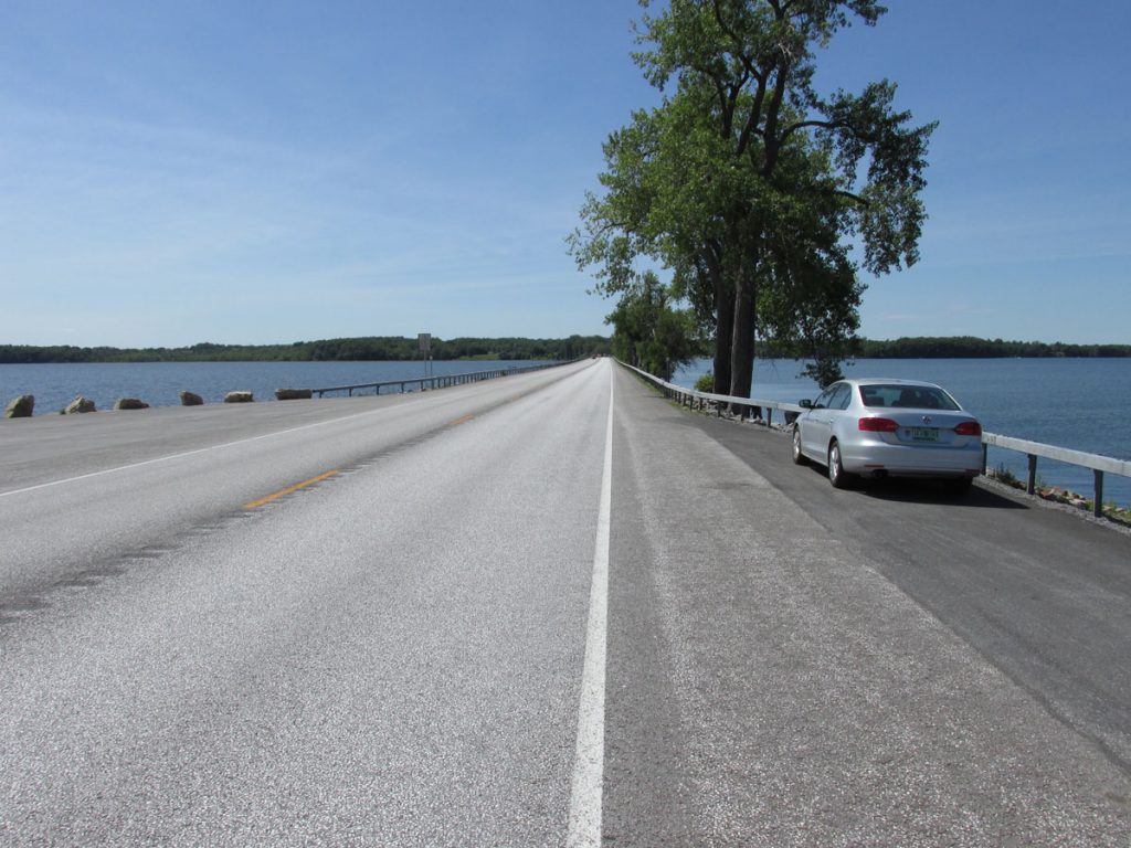
Soon, we crossed into Vermont and started smelling ice cream! Yes, Ben & Jerry’s Ice Cream headquarters is in Vermont, and we were going right by it! How could we NOT stop?
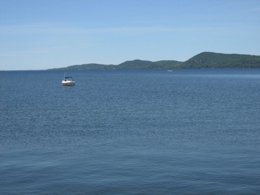
After we left Ben & Jerry’s, it was time to head northwest to the border of Vermont and New York at Lake Champlain.
After looking at the GPS, we realized we were behind schedule (although we didn’t really have a strict schedule). We were nearly 200 miles from Ft Drum, NY (our lodging reservations for that night) and it was already 4pm. Most of the roads went through many 35MPH towns, so we were not making great time.
Although we had planned to spend the next day backtracking through the Adirondacks to sightsee, one trip through convinced us it was not even as scenic as West Virginia. We decided that the next day, we would head straight to Niagara Falls to have more time there. Turned out to be a great decision.

This large building up ahead was one of the event centers (see the 5 rings above the center windows).
We stopped for pizza, walked around a little, and moved on.
We arrived at Fort Drum, NY at about 8:30pm. It had been a long day. Base lodging was very good.
SUNDAY – June 21
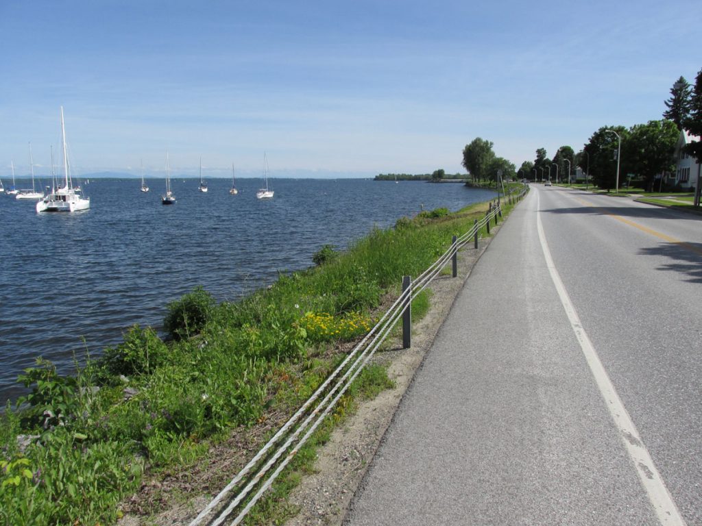
We awoke after a great night’s sleep to a great breakfast at base lodging. Since we only had about 200 miles to go today, we took our time and looked around base in the morning. We stopped at the Commissary and stocked up on Lucky Charms cereal and other necessities. At 10am, we headed out of the gate to follow the shoreline of the St Lawrence River and Lake Ontario.
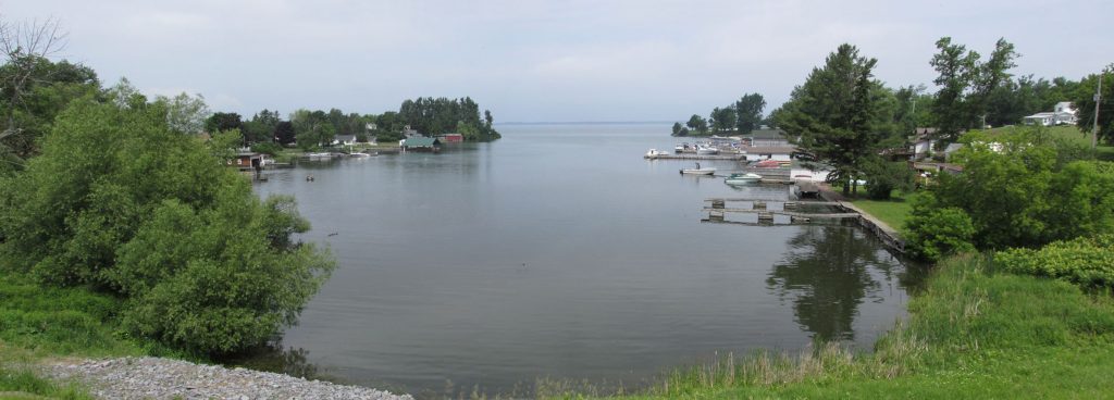
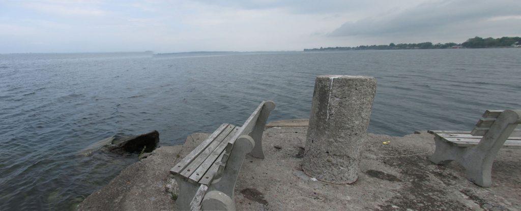
There were dozens of small bays like this along the shoreline.
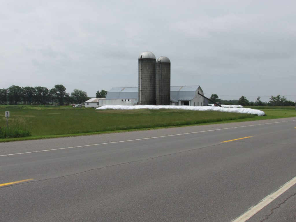
Lots of dairy farms and Holsteins.
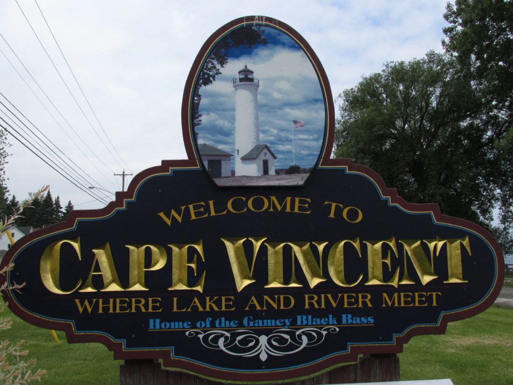
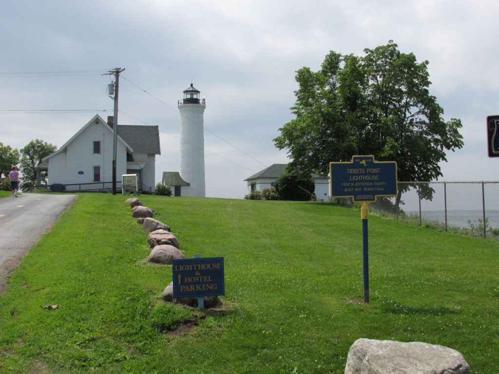
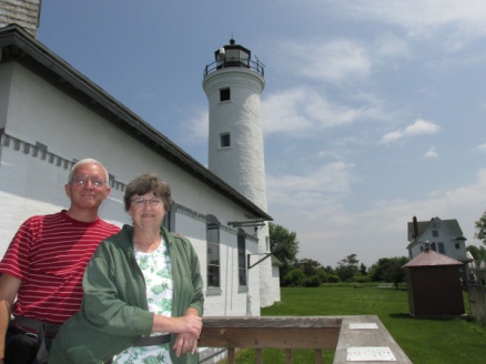
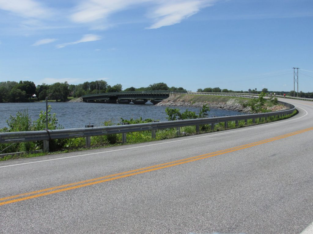
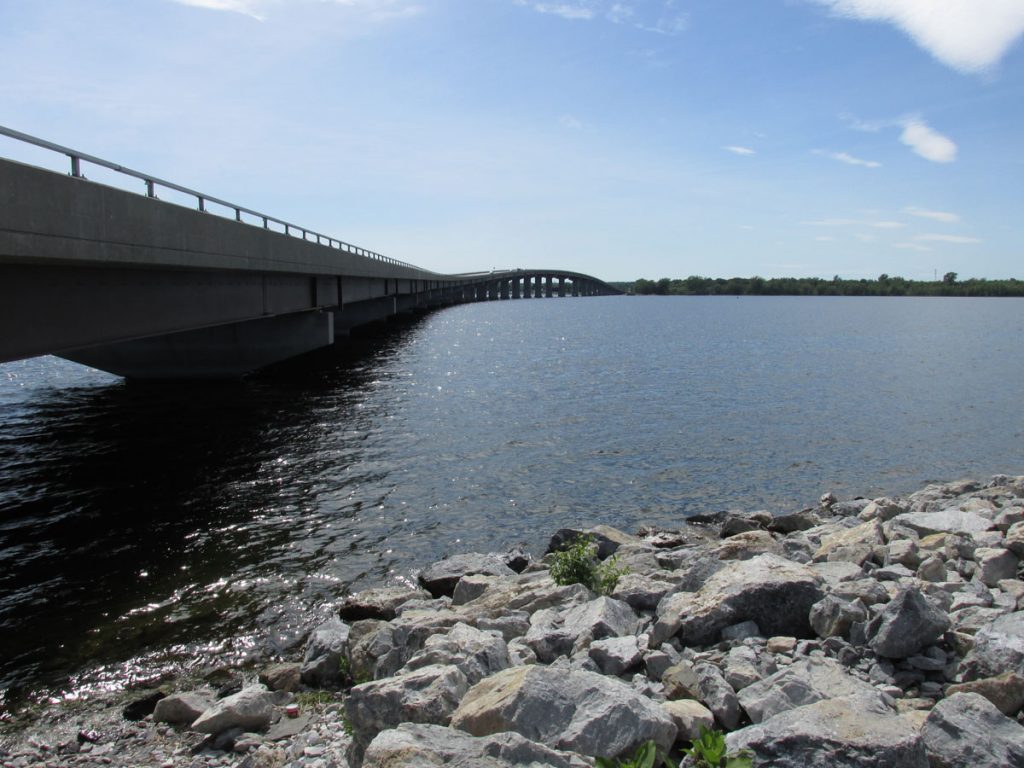
to a point where the St. Lawrence River actually meets Lake Ontario.
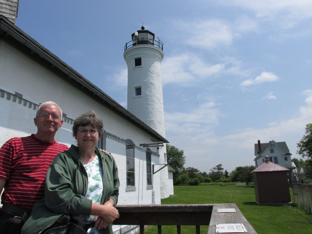
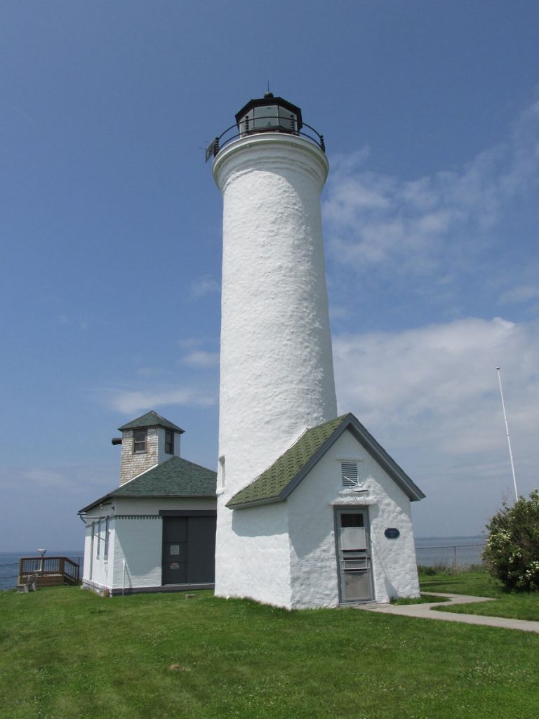
For more information on the Tibbet’s Point Lighthouse:
http://www.lighthousefriends.com/light.asp?ID=314
After this, we continued down the shoreline of Lake Ontario.
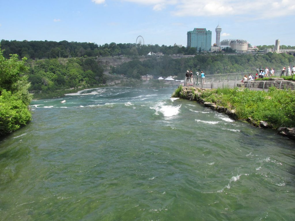
We pulled into base lodging at the Air Force Reserve Base at Niagara Falls International Airport. Wonderful new lodging building and the staff was very helpful with information on Niagara Falls.
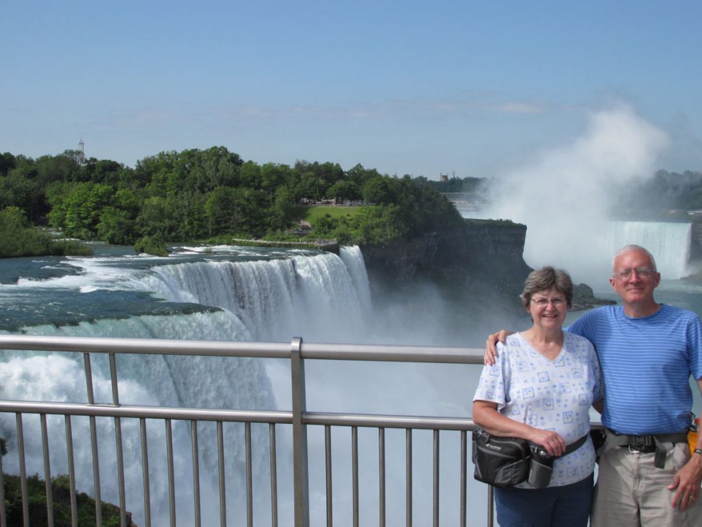
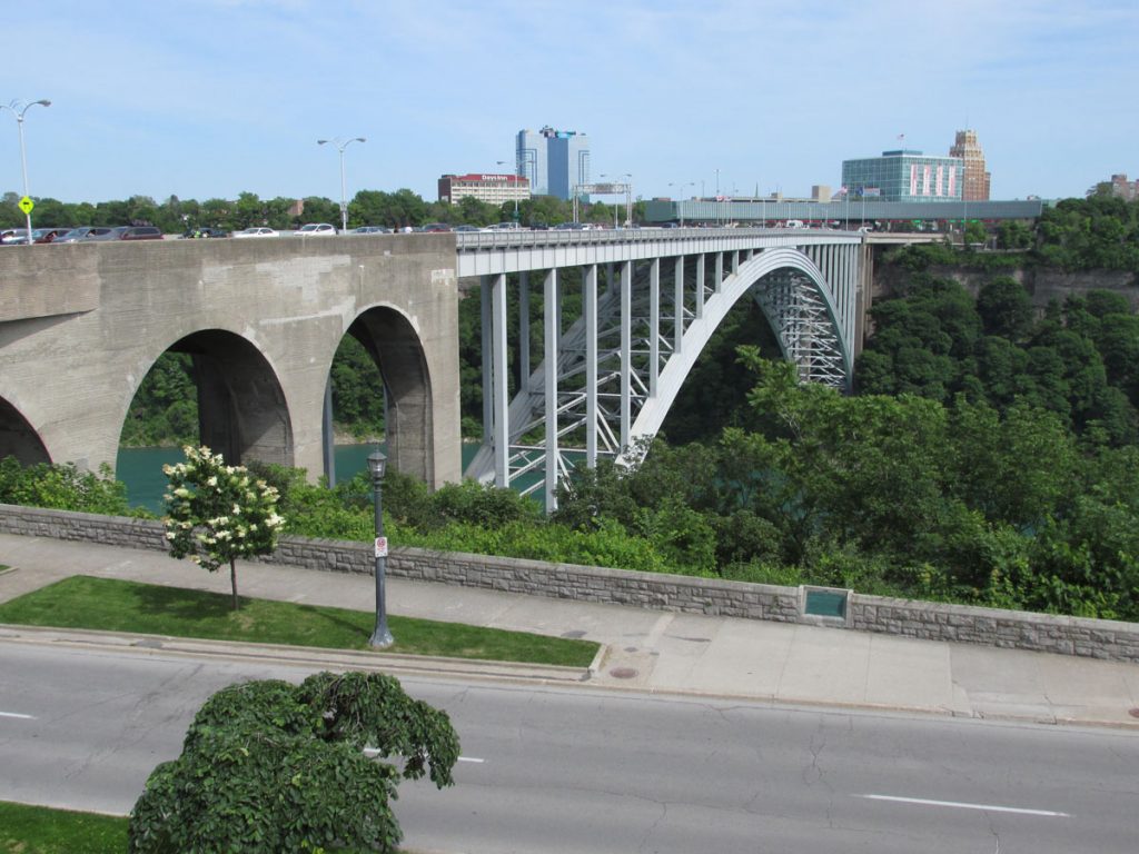
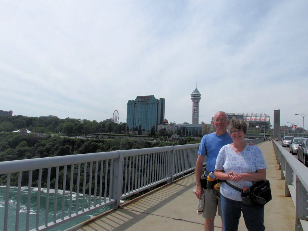
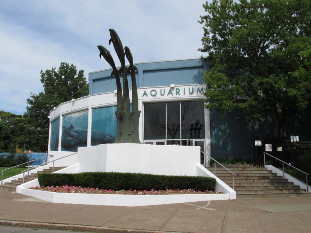
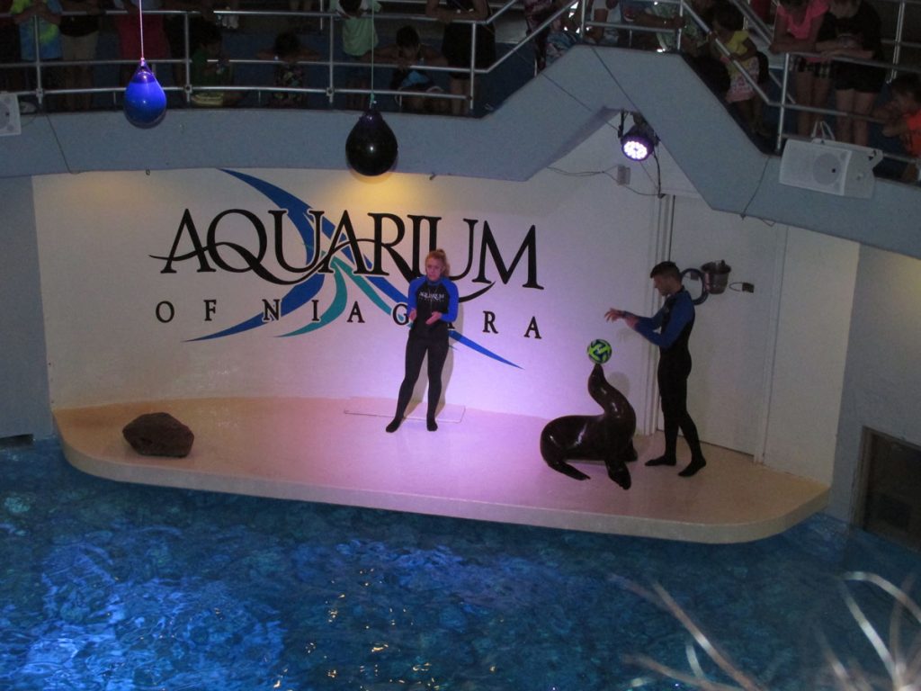
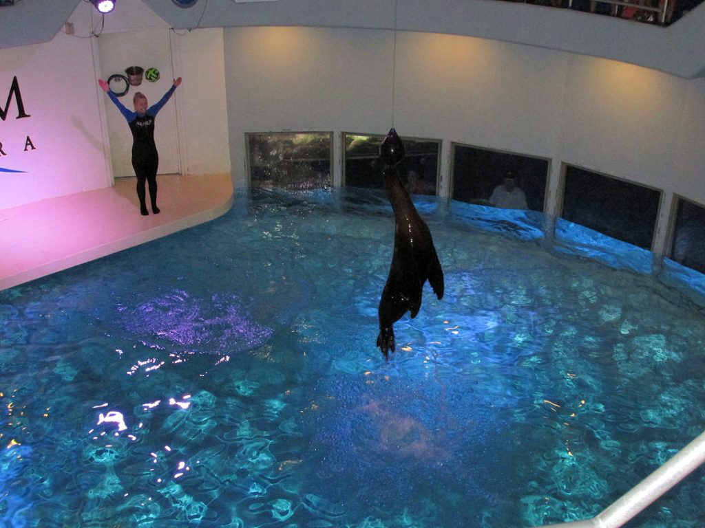
MONDAY – June 22
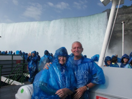
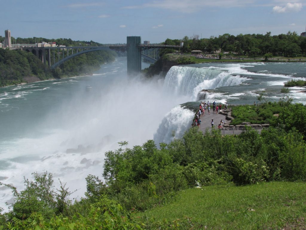
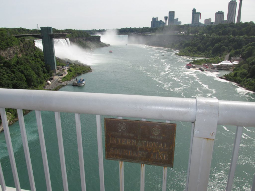
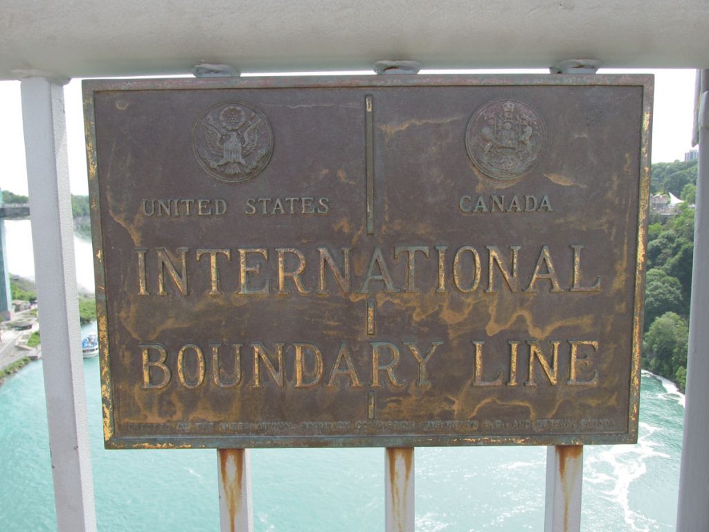
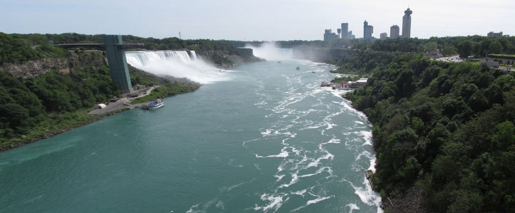
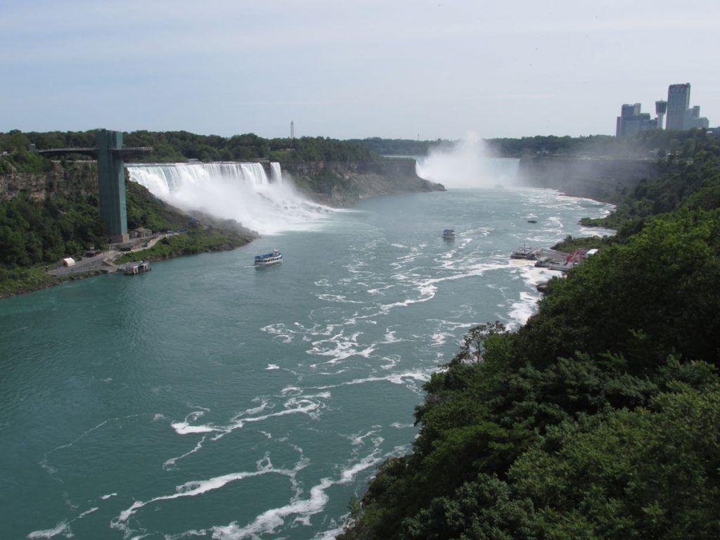
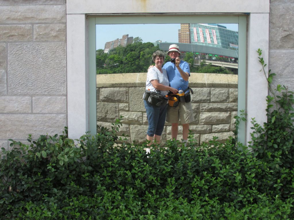
Niagara Falls!
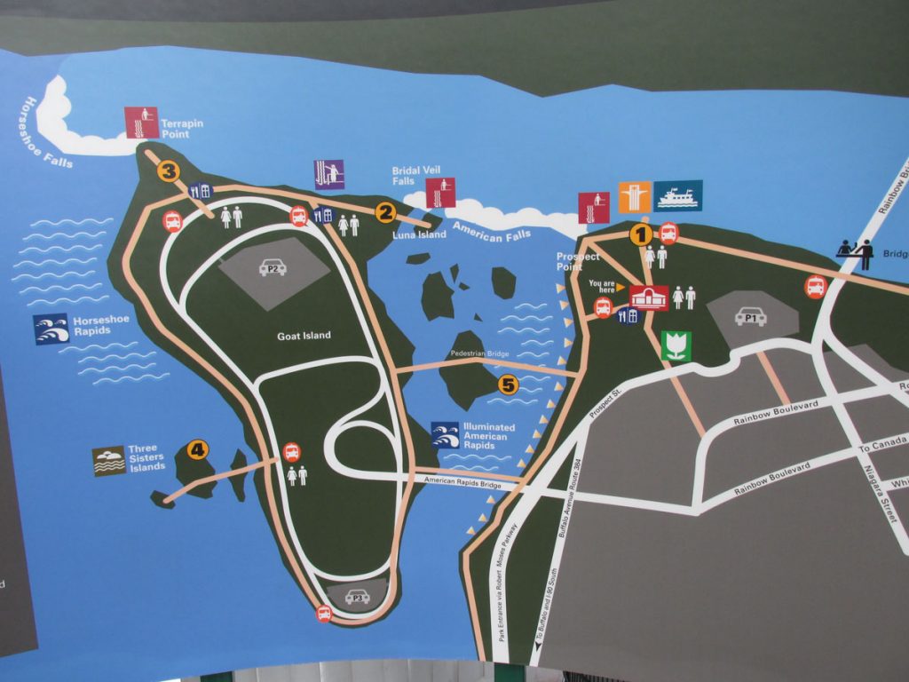
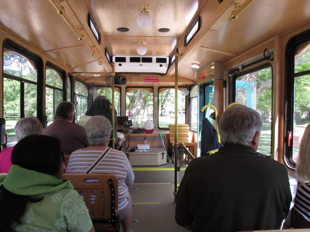
Following the advice of the lady at base lodging check-in, we drove down early (7am) to the Seneca-Niagara Casino and parked free in their parking garage (out of the hot sun), only 3 or 4 blocks to the falls.
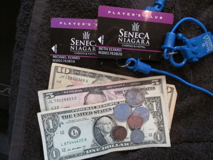
As we walked through the casino, we signed up for free Players Club cards, which were loaded with $10 to start us off at the slots.
Great – free parking and $10 each to play the slots! We’re off to a good start.
The weather was beautiful – sunny and 60s in the morning and low 80s by late afternoon.
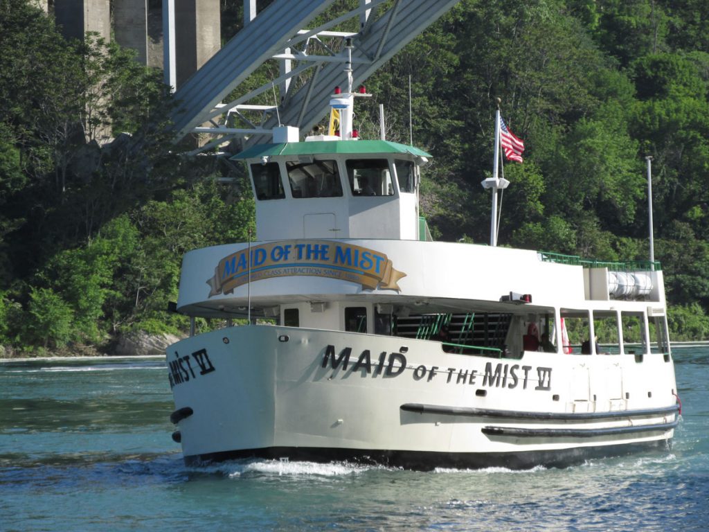
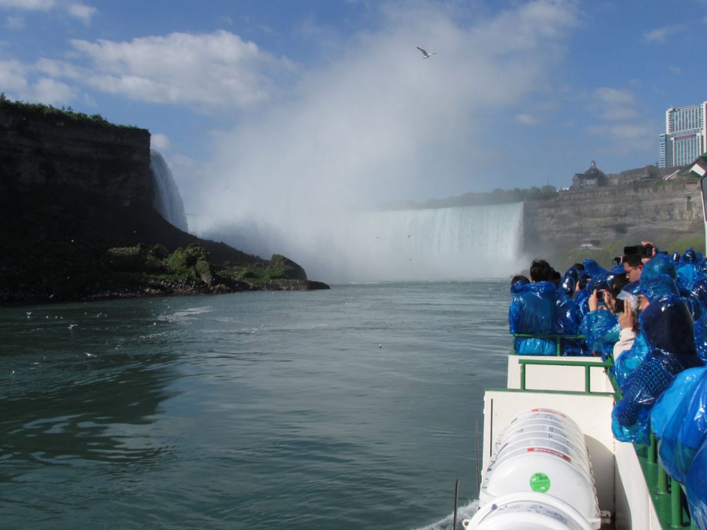
Maid of the Mist Website
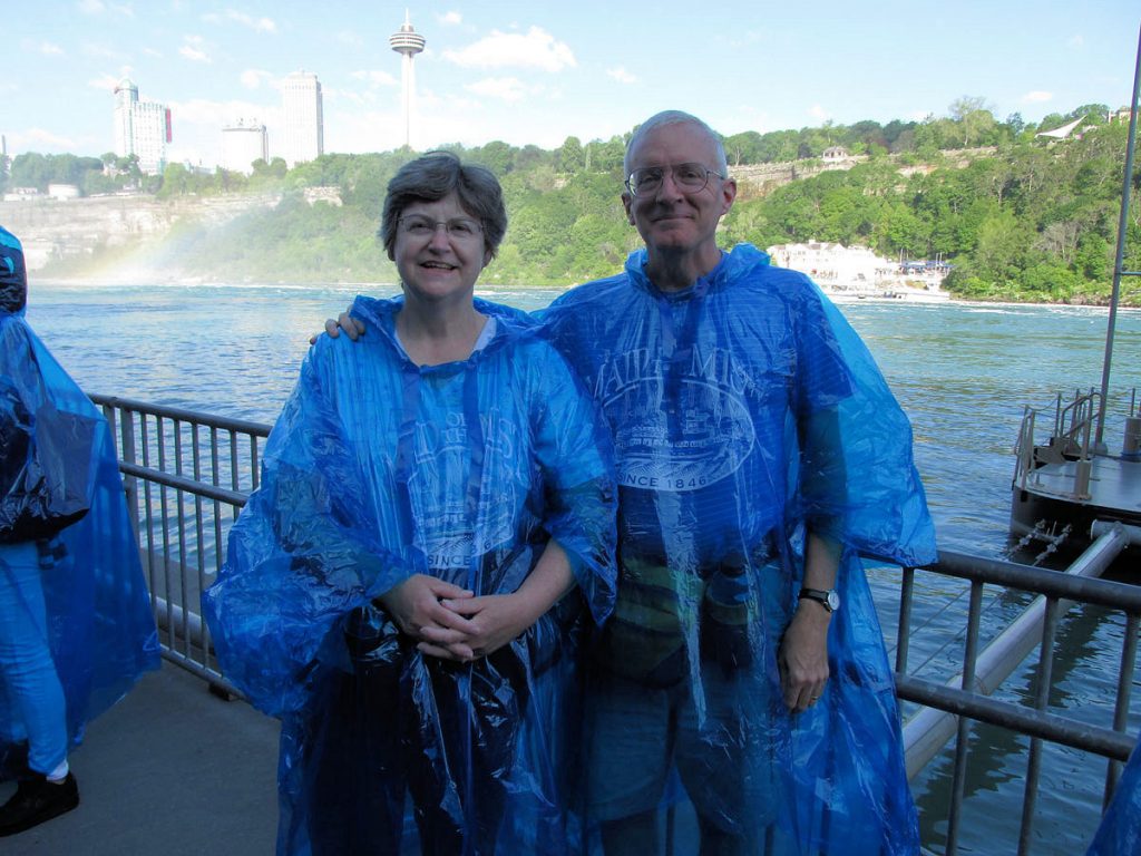

We were at the spot under the falls where the 2nd one is, in the upper left corner of the photo.
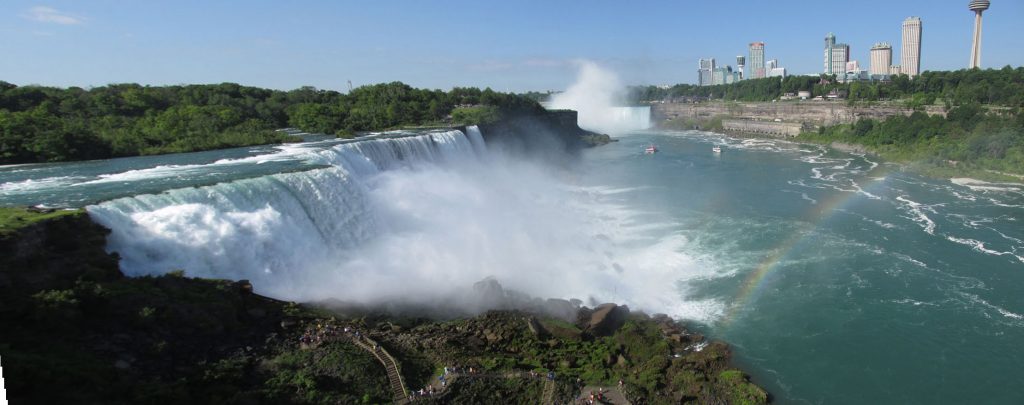
Nice rainbow from the mist.
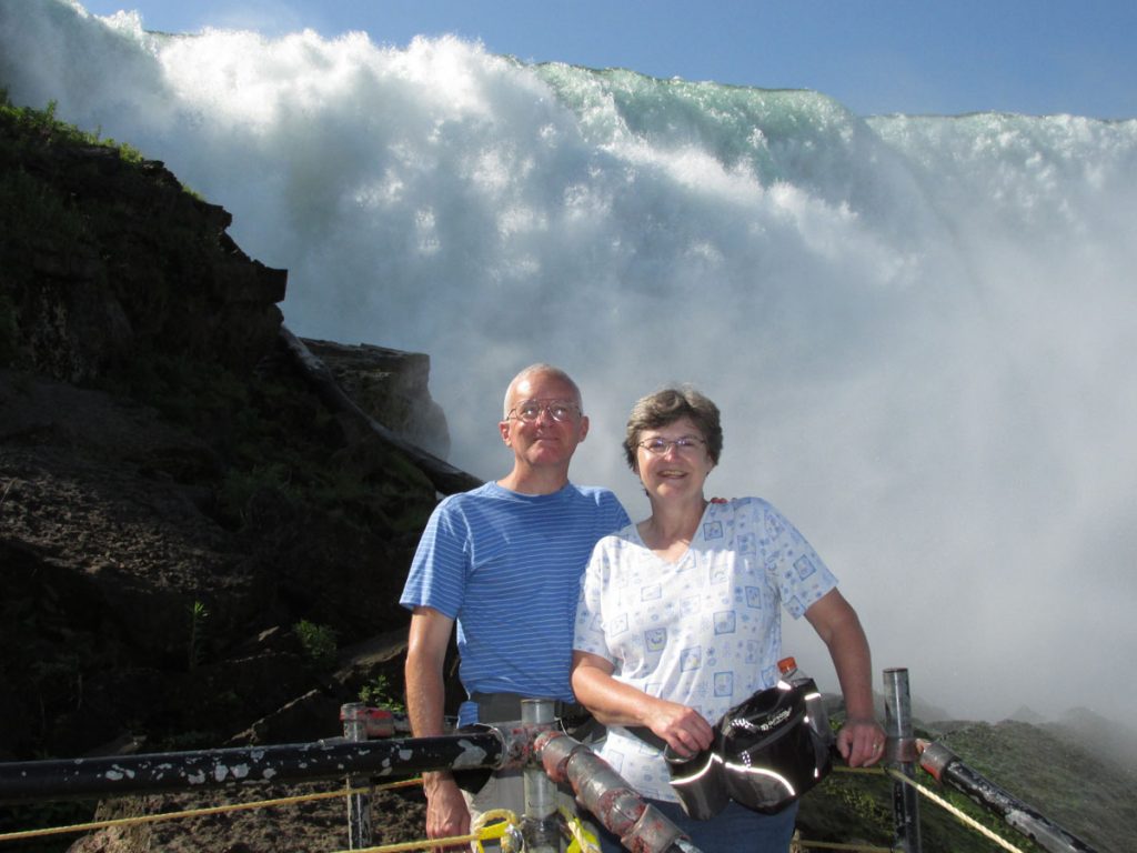
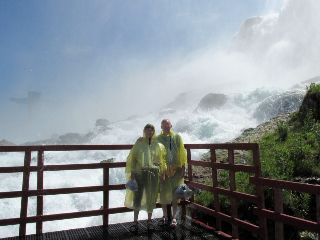
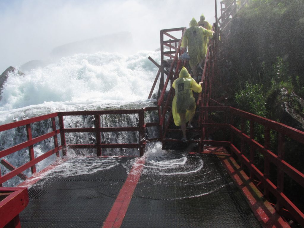
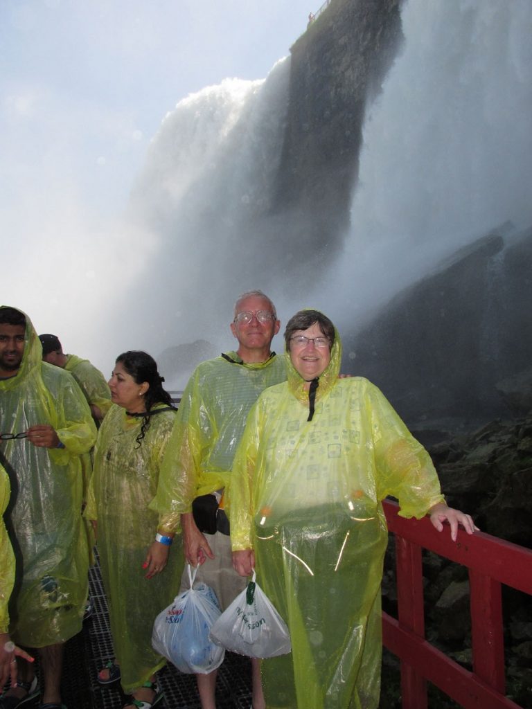
Next stop – Cave of the Winds, at the base of Bridal Veil Falls.
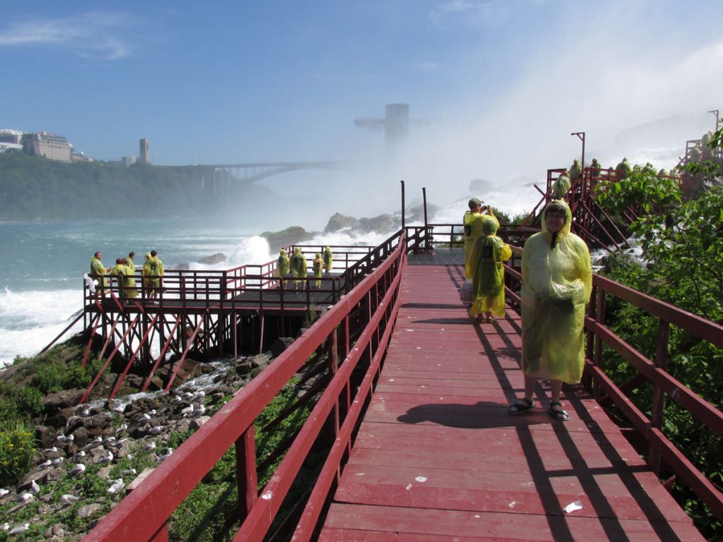
We packed our dry shoes and socks in plastic bags.
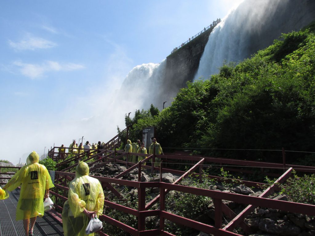
It’s as noisy as 100 freight trains speeding by.
That’s Beth heading up the stairs. Isn’t she brave!!
Lucky, it was warm enough that the cold water felt good on our feet.
You can’t see the water passing between here and there that goes over Bridal Veil Falls.
I wonder how many early travelers got this far on their canoes and said, “uh-oh!”.
This is the water that will be going over Bridal Veil Falls in just a few seconds.
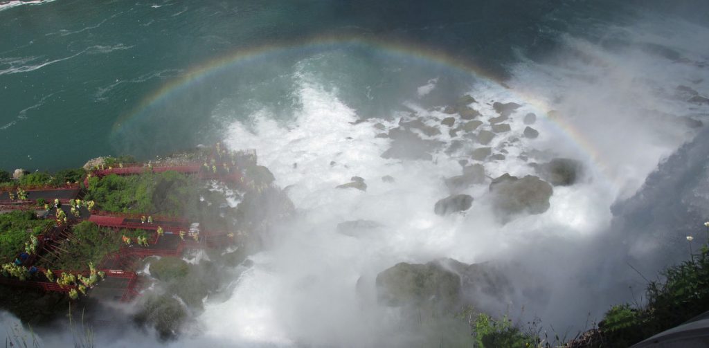
The mist makes for almost constant rainbows around the falls.

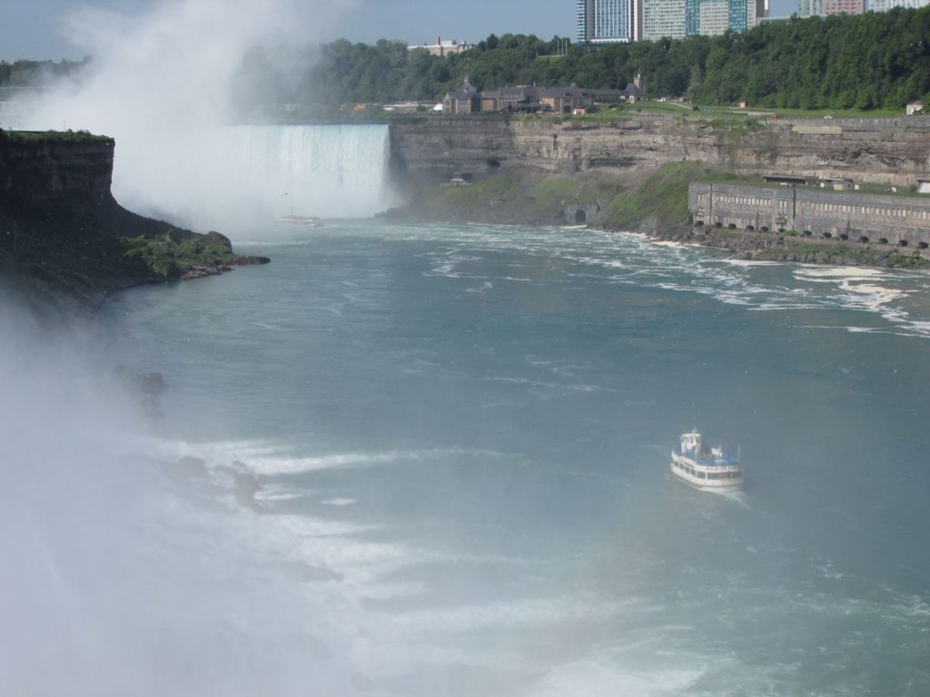
You can see the observation platform and elevator down to the Maid of the Mist.
It was lunchtime and we headed back to the casino.
One thing we have discovered in our travels – Casinos usually have great buffets!

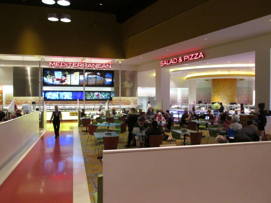

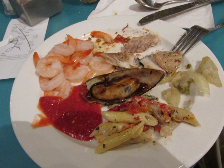
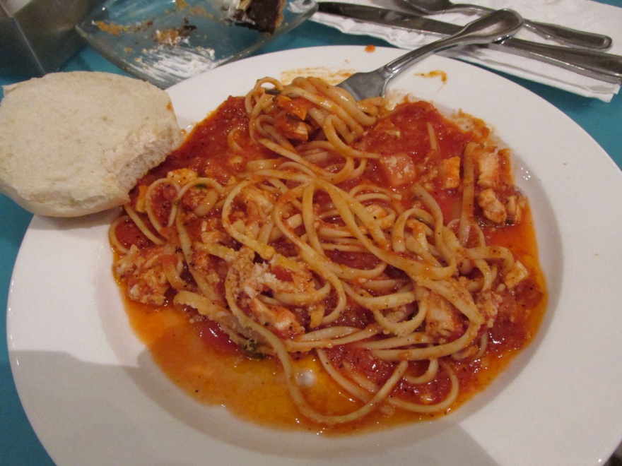
We found the buffet to be outstanding, with areas serving food from different areas of the world – Mediterranean, Asian, American, and more. We also found that one of our passes includes “Buy One Get One Free”, so we both ate for $17.00.
(But wait – there’s more to that story later)

Being a big Wheel Of Fortune fan, Beth had to try out that game first.

I headed to the penny slots where you gamble from 1 to 5 cents each play. On my second or third game, I won $10.40! Over the next hour, we collected several cashout tickets from the machines.

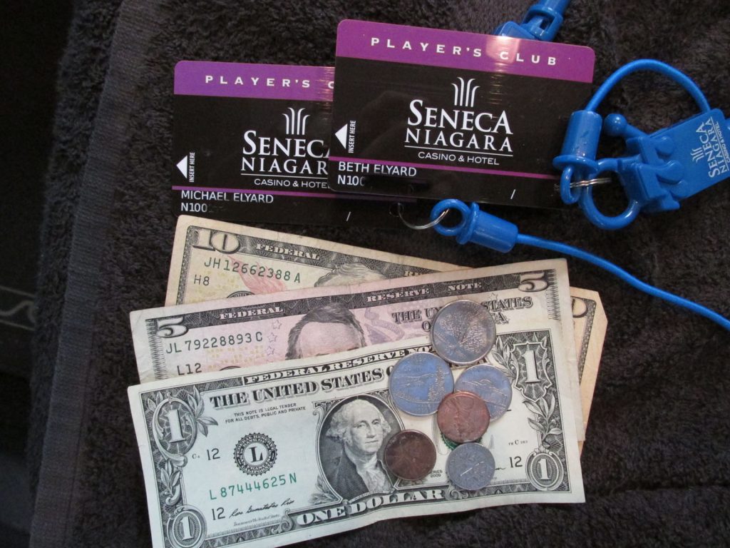
This means we parked free, and the 2 lunch buffets cost us 33 cents.
Not a bad day!
After that, we walked back to the car, sitting nice and cool in the shade of the parking garage.
Our next stop was supper with friends that we knew in Alaska 20+ years ago. Pete and Cathy Dauphin were neighbors (and Pete was in the Air Force Band with Mike), and they had several kids both older and younger than Spencer. We haven’t seen them since 1992. They live about 30 miles away in Middleport and offered to drive down and meet us for supper at Longhorn Steak House.
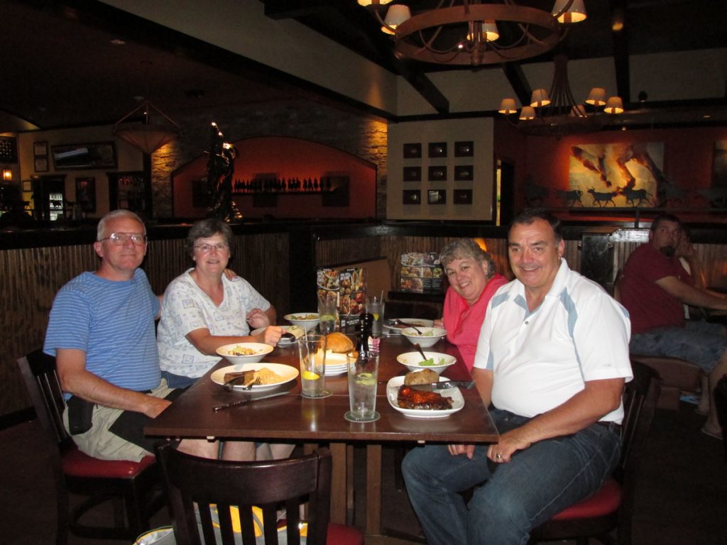
It was great catching up on over 20 years of news and how the kids are all doing.
The end of a wonderful day and a wonderful week!!
Hope you enjoyed following us on our 2015 Vacation to New England!