
Alaska 2007 via Alaska Highway
9,500 Miles – 30 Days

A few years ago, we started talking about going back to visit Alaska before Spencer graduated from high school and went off to college. We lived there from 1989-1996, and Spencer was born there in 1990. There are lots of good memories from those years in the “49th State”. We hope you enjoy the pictures and stories of our drive from Illinois to Alaska and back – a round trip of some 9,500 miles. Here we go!
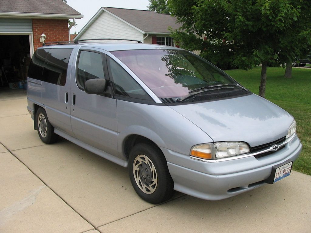
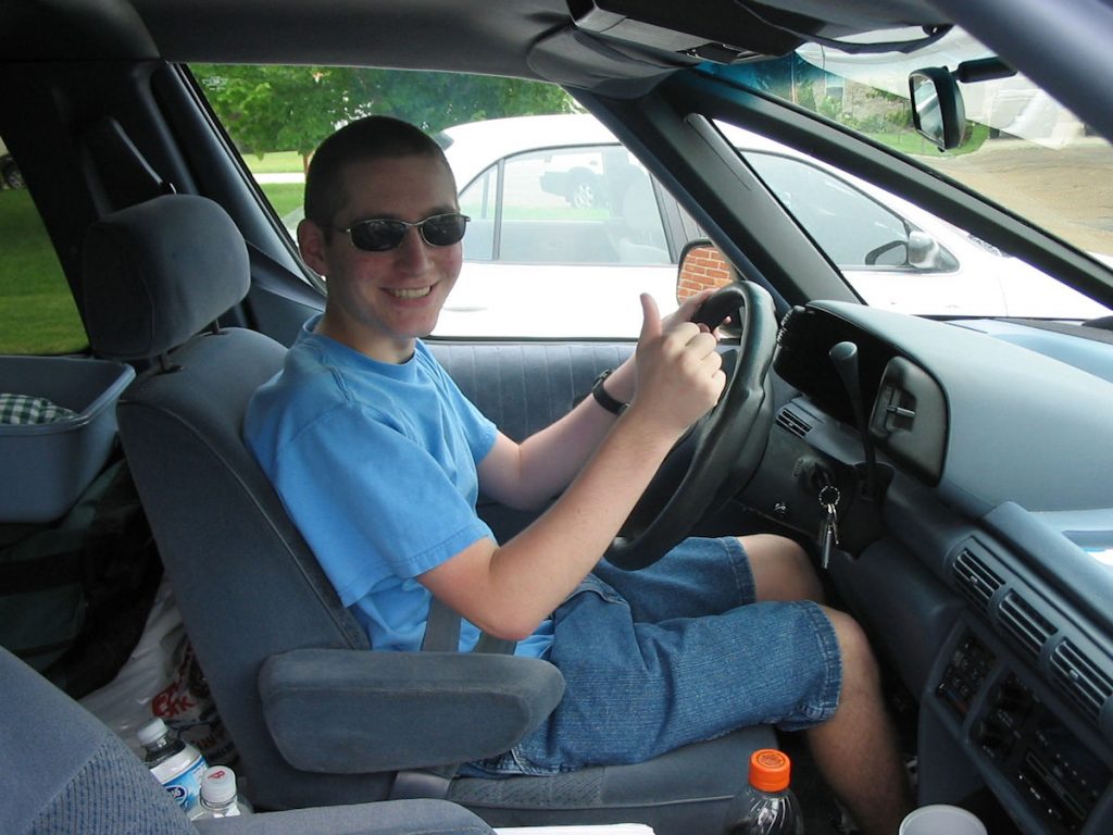
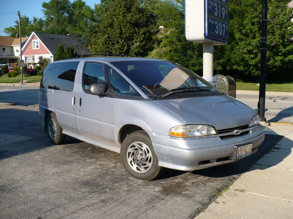
All cleaned up, new tires, new oil and anti-freeze.
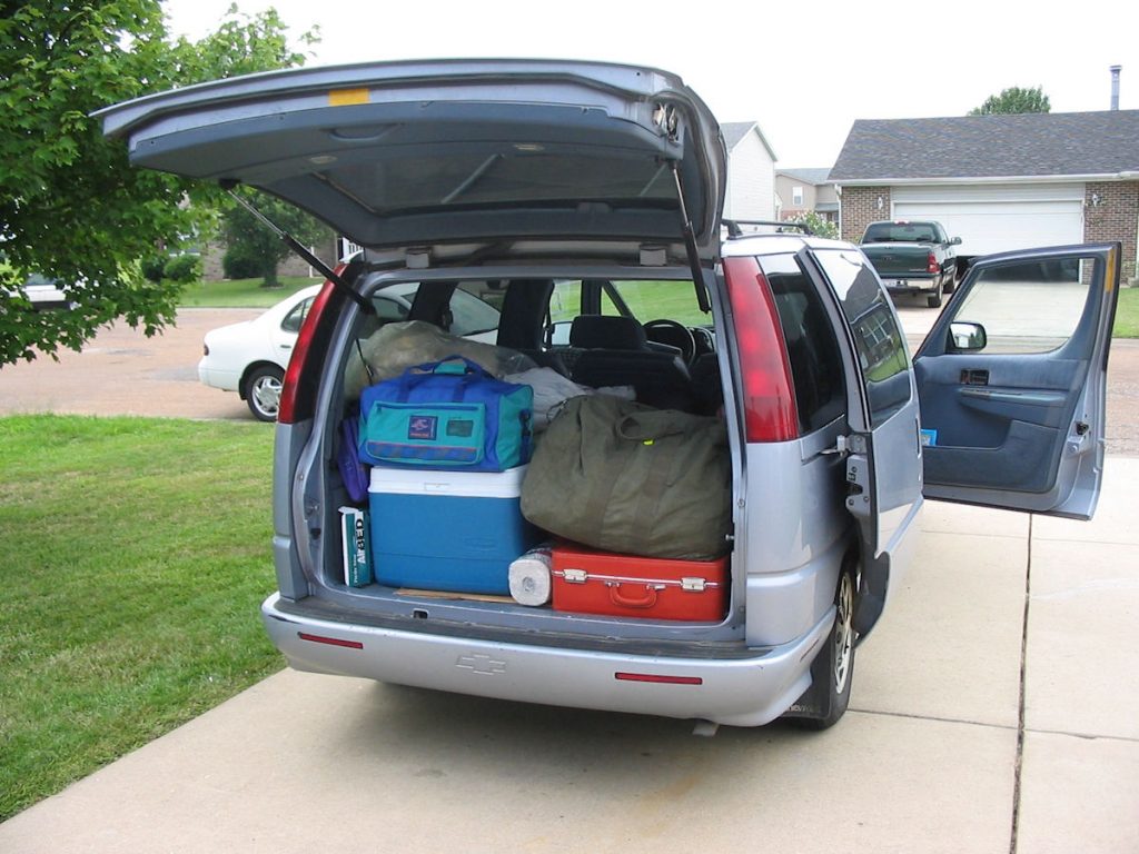
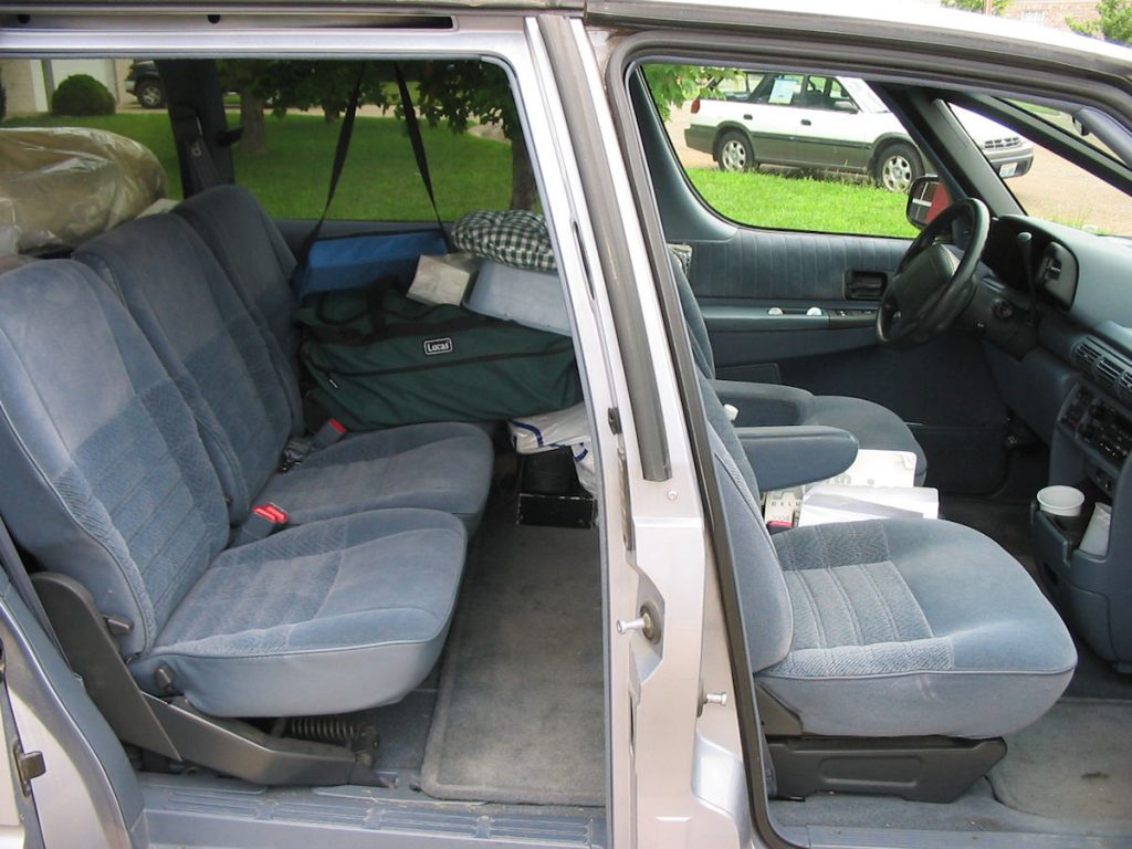
of the rear window unobstructed.
DAY 1: Sunday July 1st
Mascoutah, Illinois to Omaha, Nebraska
Today 462 miles : Trip total 462 miles
Day 2: Monday July 2nd
Omaha, Nebraska to Murdo, South Dakota
Today 411 miles : Trip total 873 miles
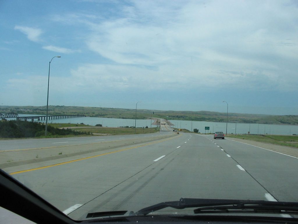
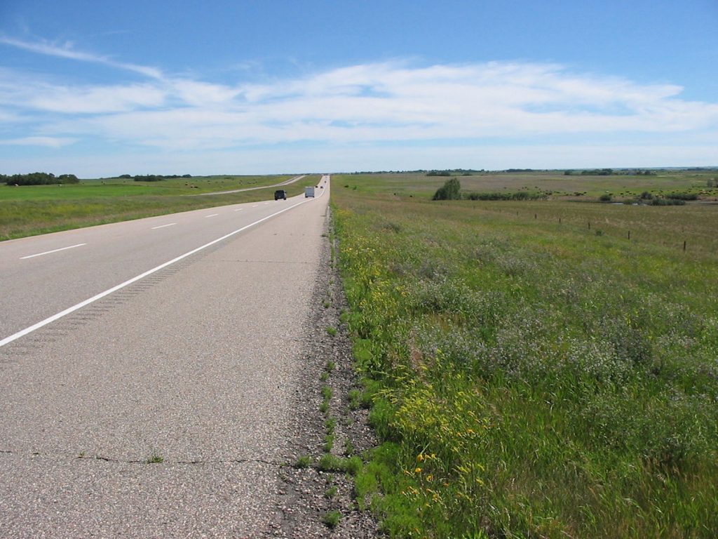
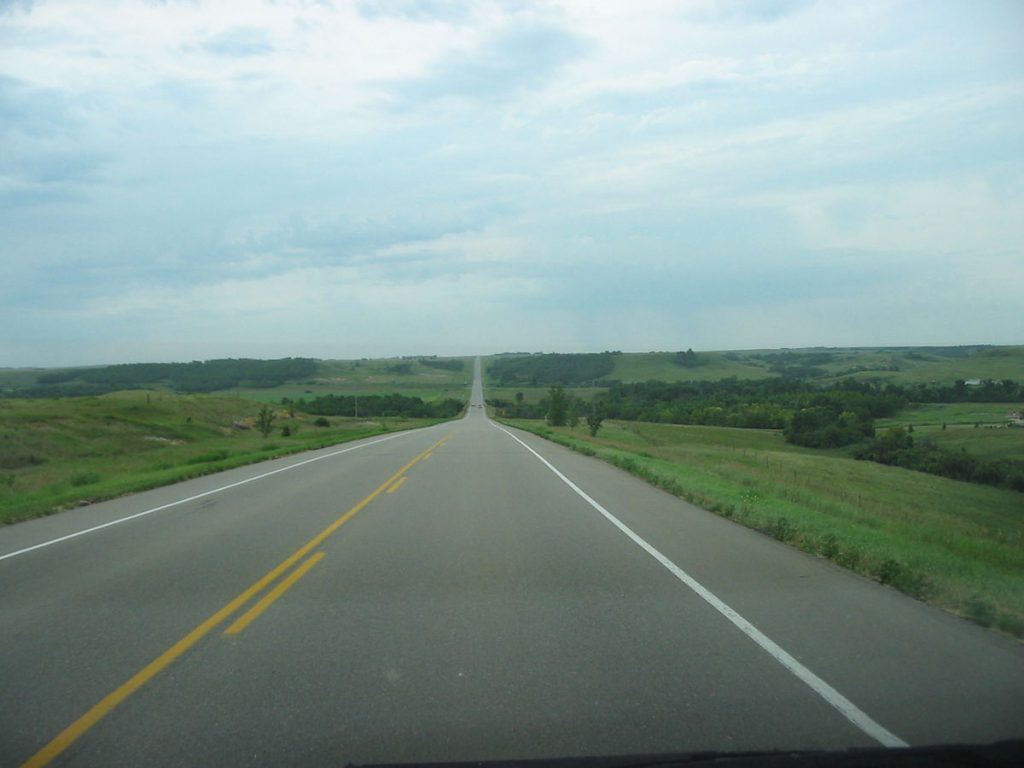
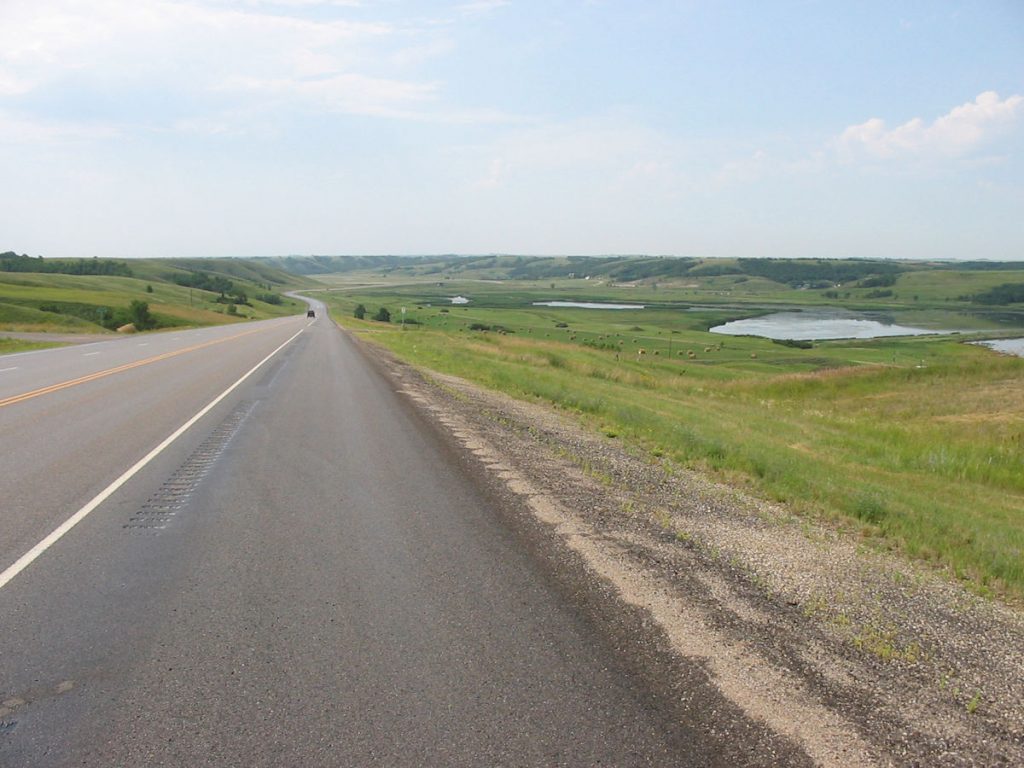
It’s mostly loooonnng stretches of straight road with occasional cool scenes like this lake.
Day 3: Tuesday July 3rd
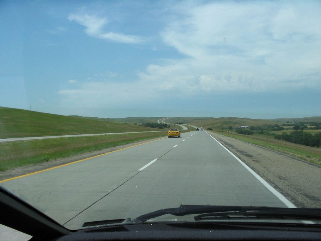
Murdo, South Dakota to Sheridan, Wyoming
Today 442 miles : Trip total 1,315 miles
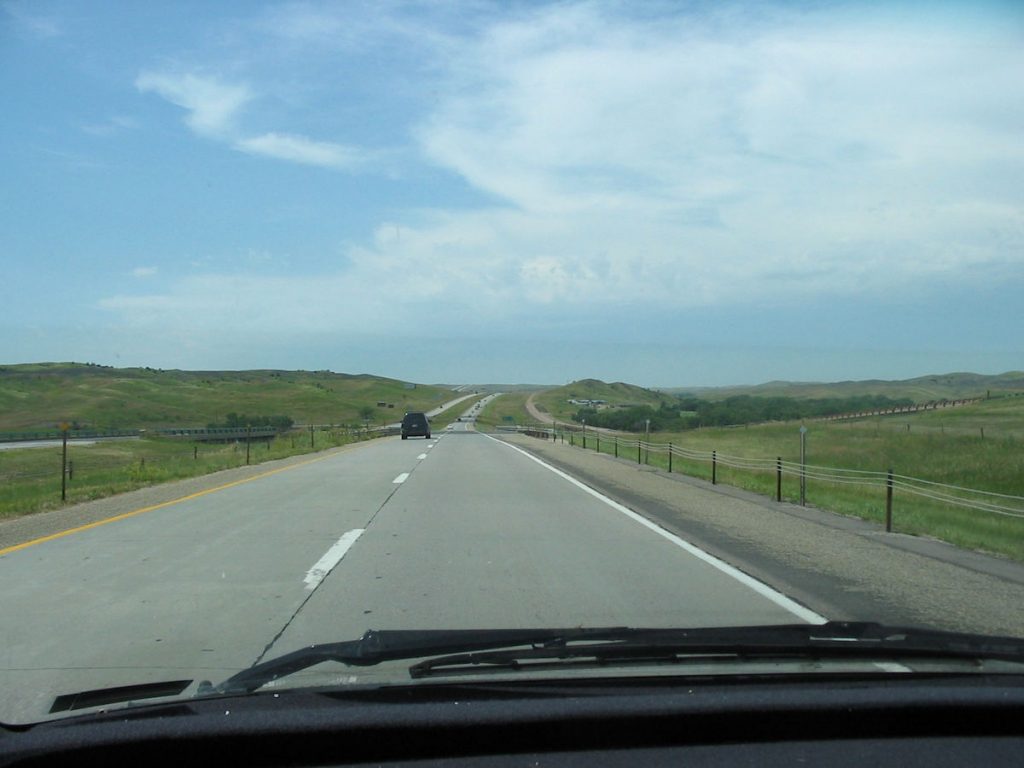
South Dakota’s interstate scenery.
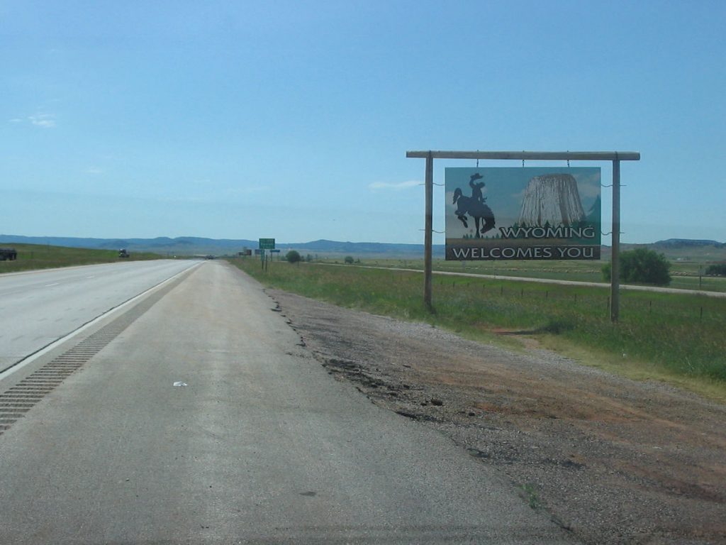
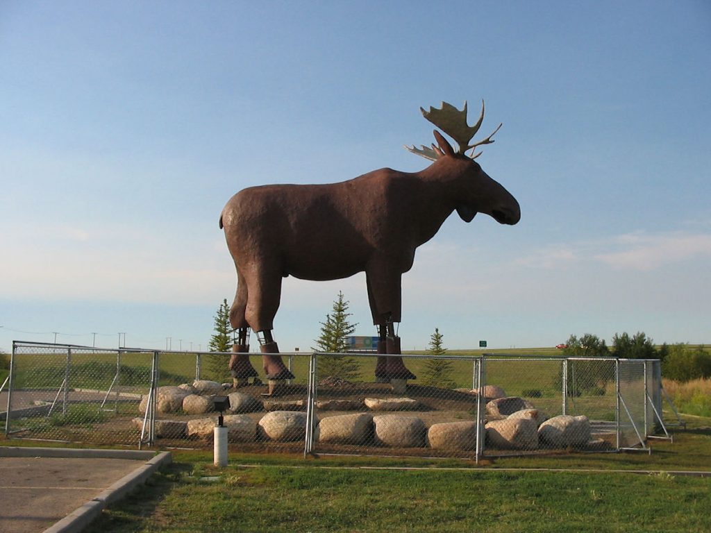
Are we there yet? Only 3,000 miles to go!
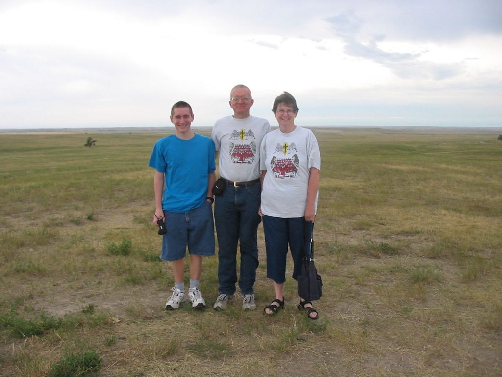
We did comb our hair first, but there is a constant 30 MPH wind.
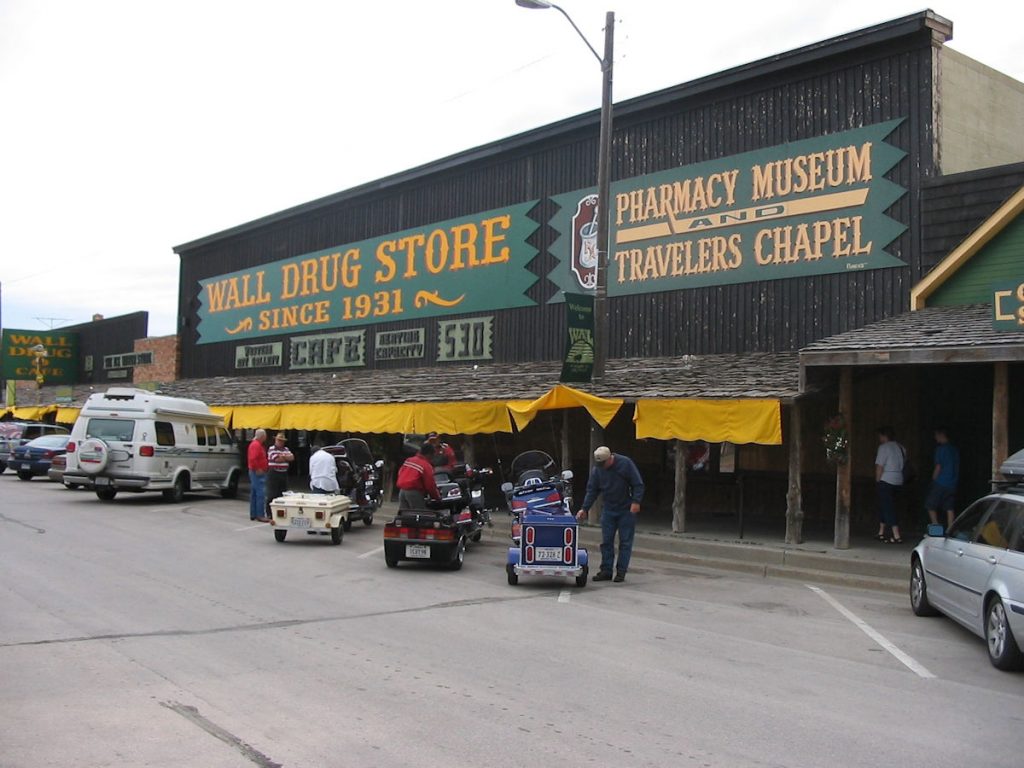
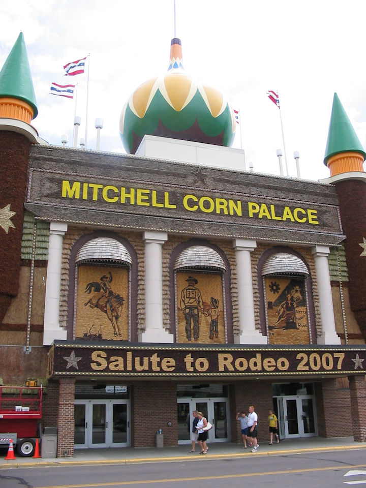
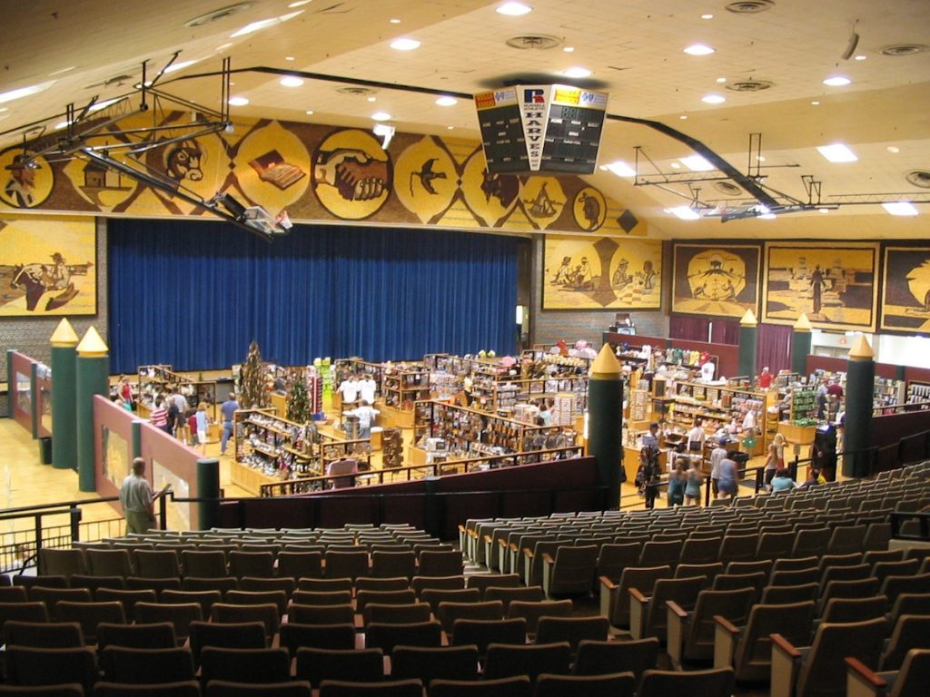
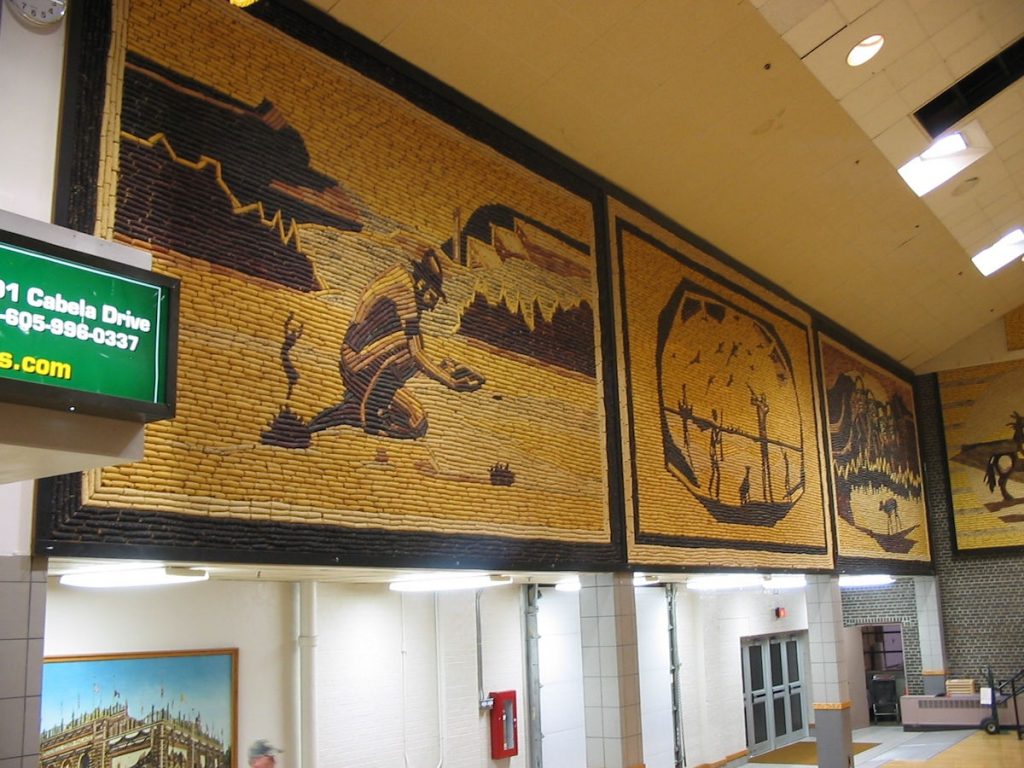
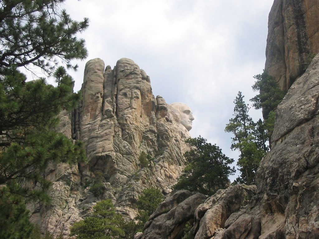
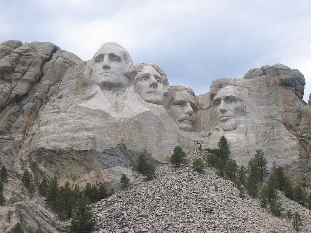
There are literally hundreds of billboards advertising this site all over the Dakotas.
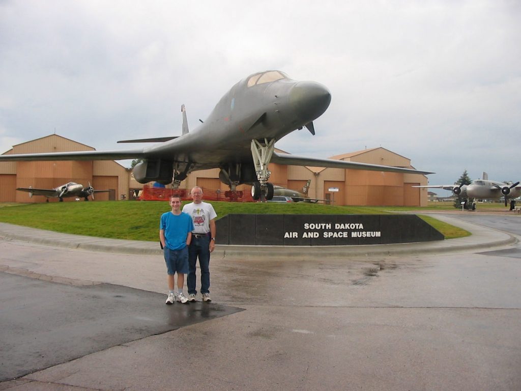
We stopped to look at the museum. Great!!
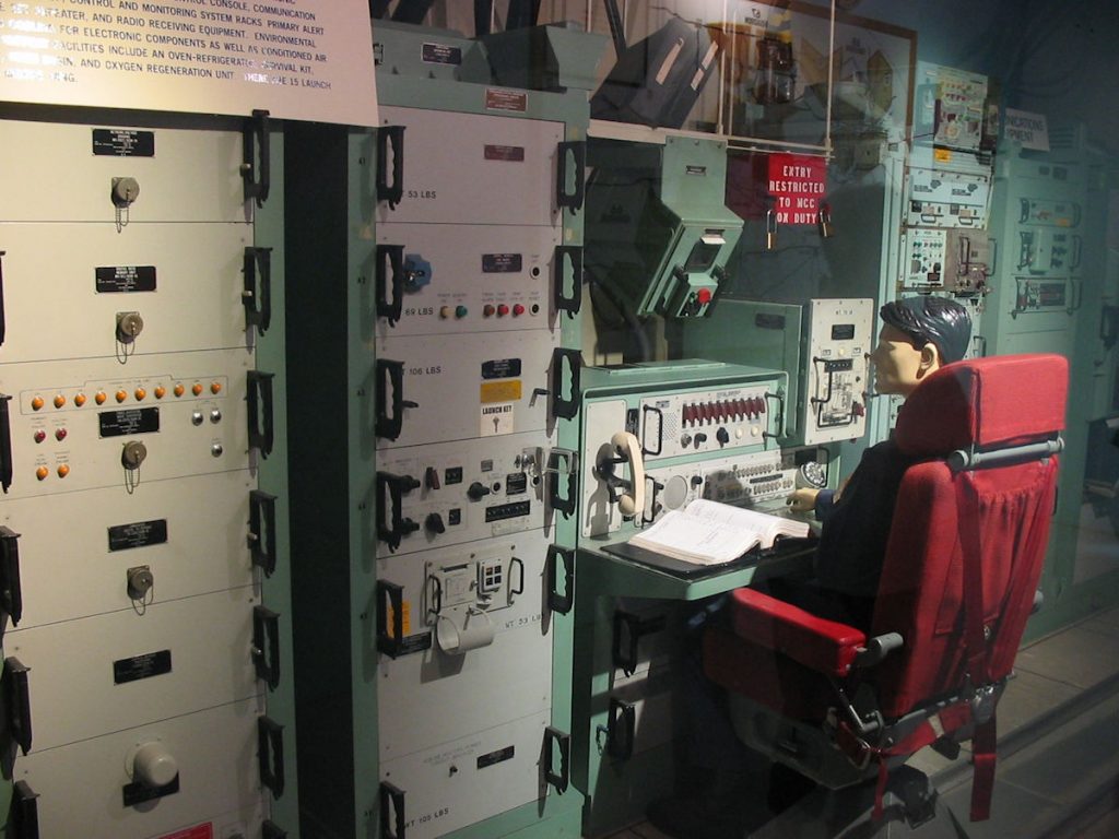
missile launch command from an underground missile silo.
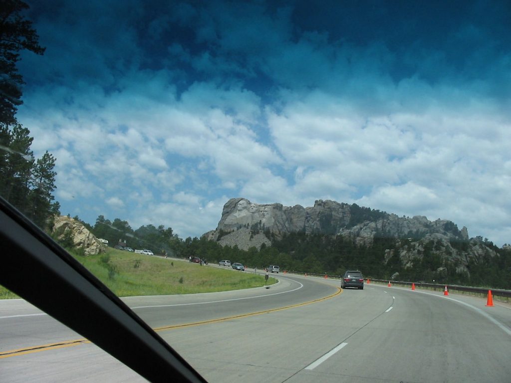
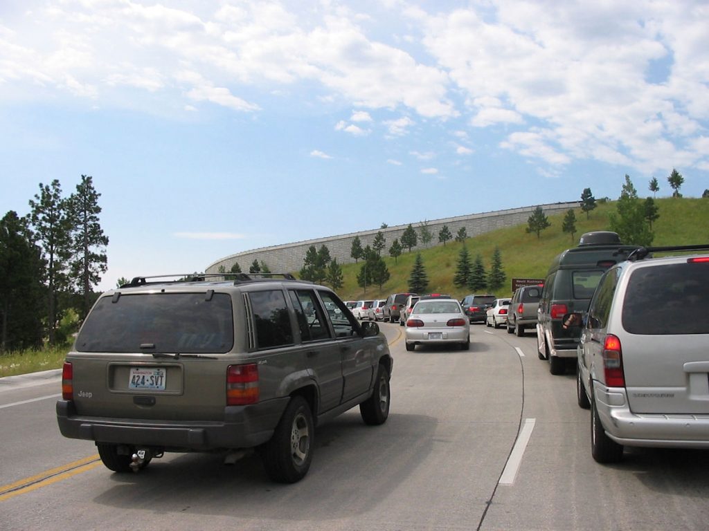
Moving verrrry slowly!
When we finally got to within 2 cars of the parking lot entrance, it closed. Full!
We drove past the lot about a mile, parked along the road, and walked back.


Day 4: Wednesday July 4th
Sheridan, Wyoming to Yellowstone National Park, Wyoming
Today 355 miles: Trip total 1,670 miles
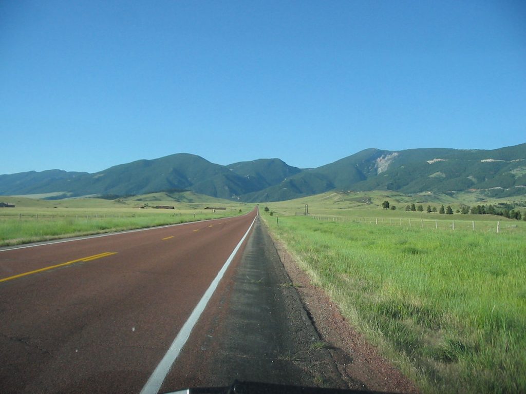
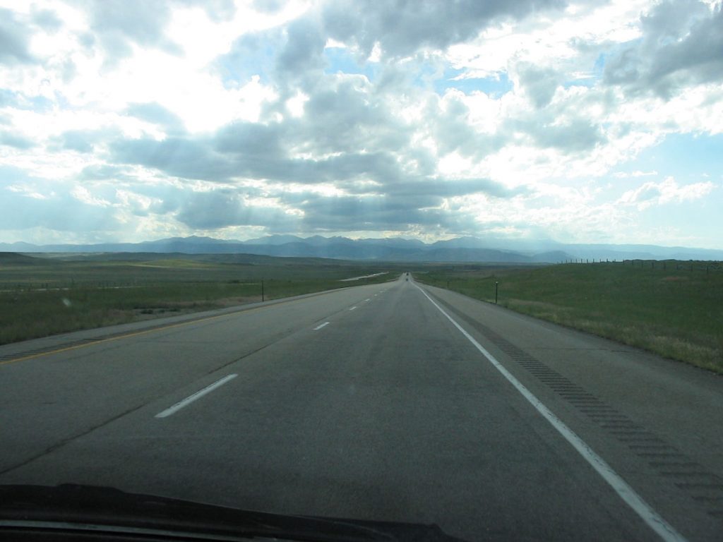
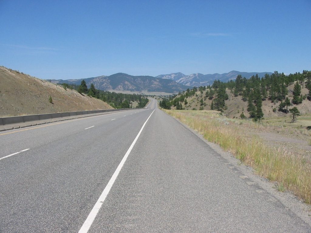
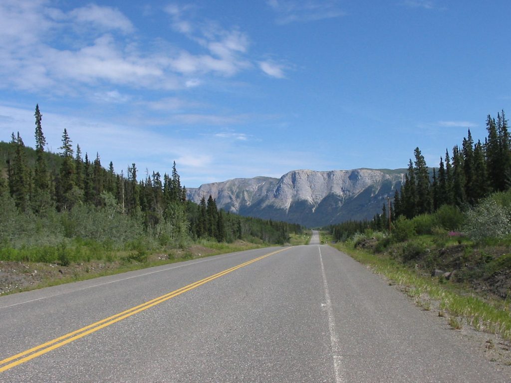
Interesting 2-lane as it approaches the first of the Rocky Mts.
Suddenly, we were climbing toward the sky on a twisty stretch of road.
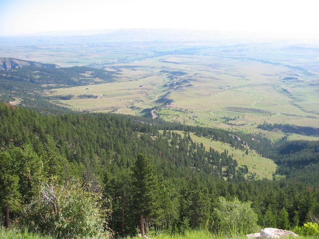
on where we took the previous picture.
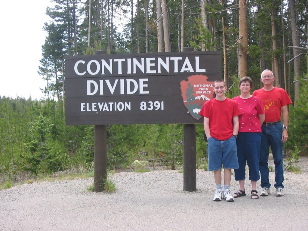
All rivers west of this point flow into the Pacific.
All rivers east flow into the Atlantic.
(See next photo for flashback)
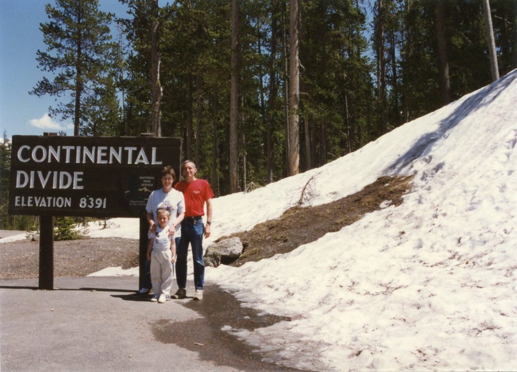
The car was shipped to Seattle, and we drove from there to Nebraska.
What a coincidence that we would stop at the same location 11 years later!
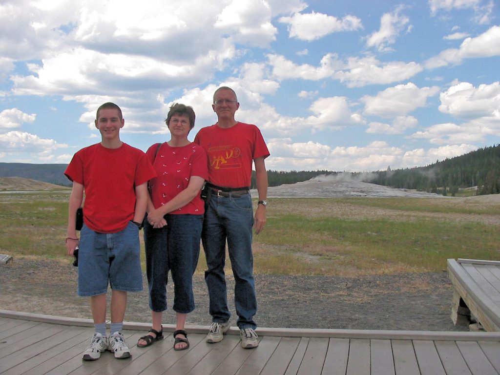
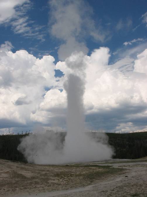
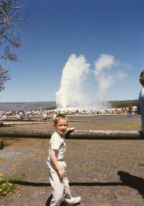
Thar’ she blows! Old Faithful. (Left – 2007 / Right – 1996)
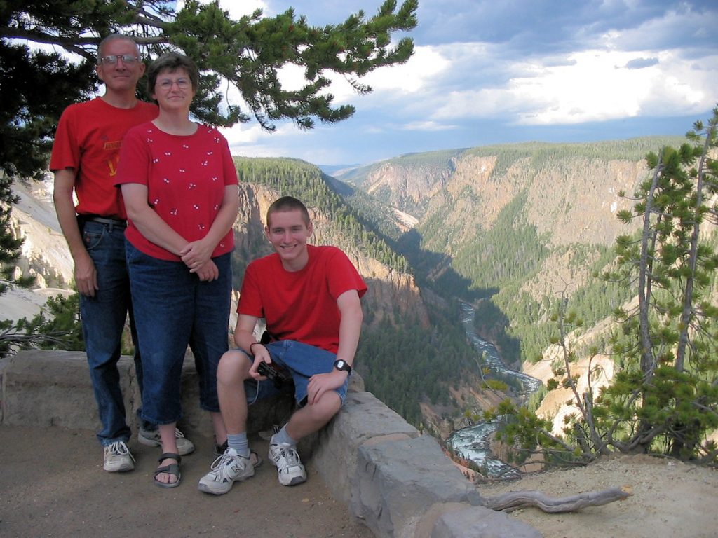
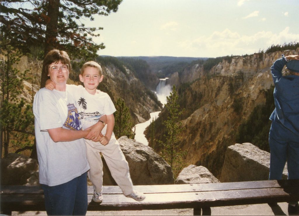
Nicknamed the “Grand Canyon of Yellowstone”.

wandering up the road away from the herd.
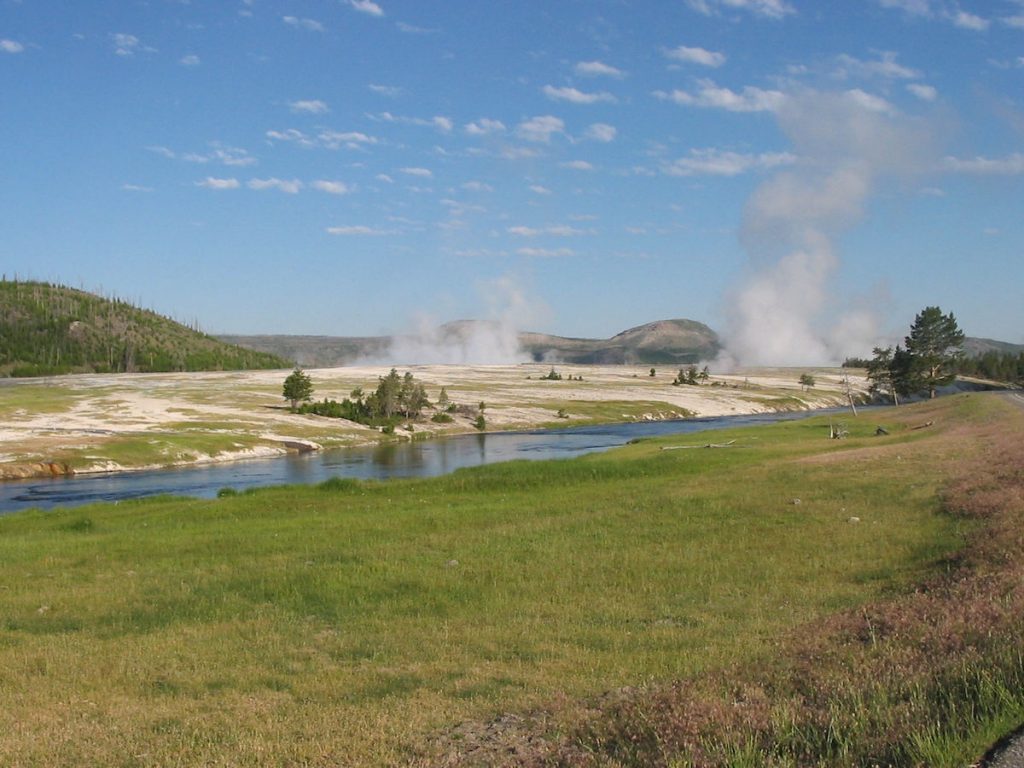
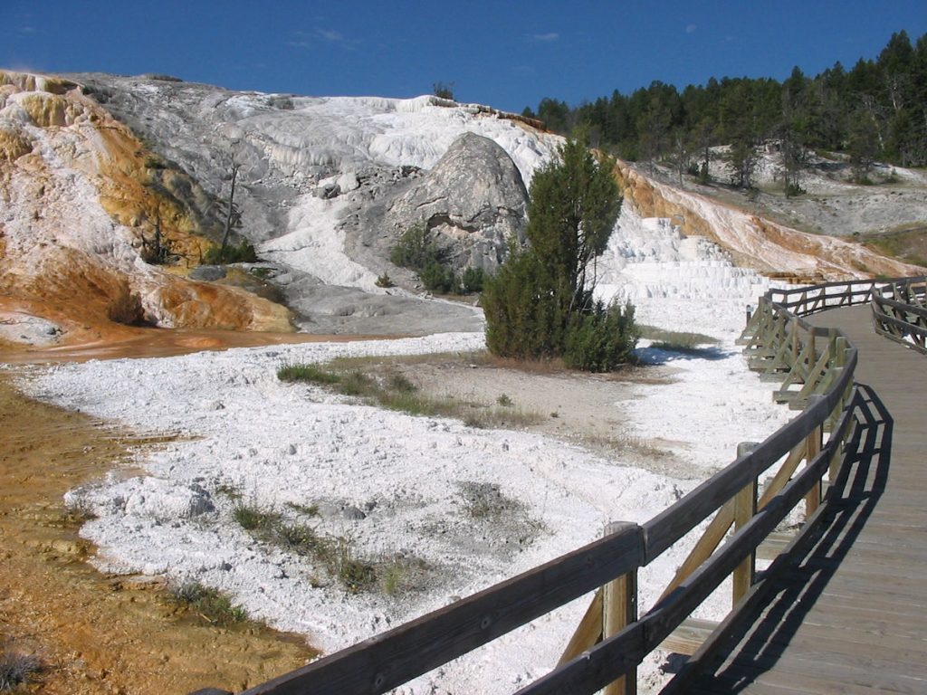
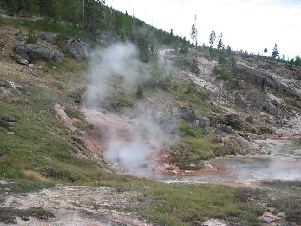
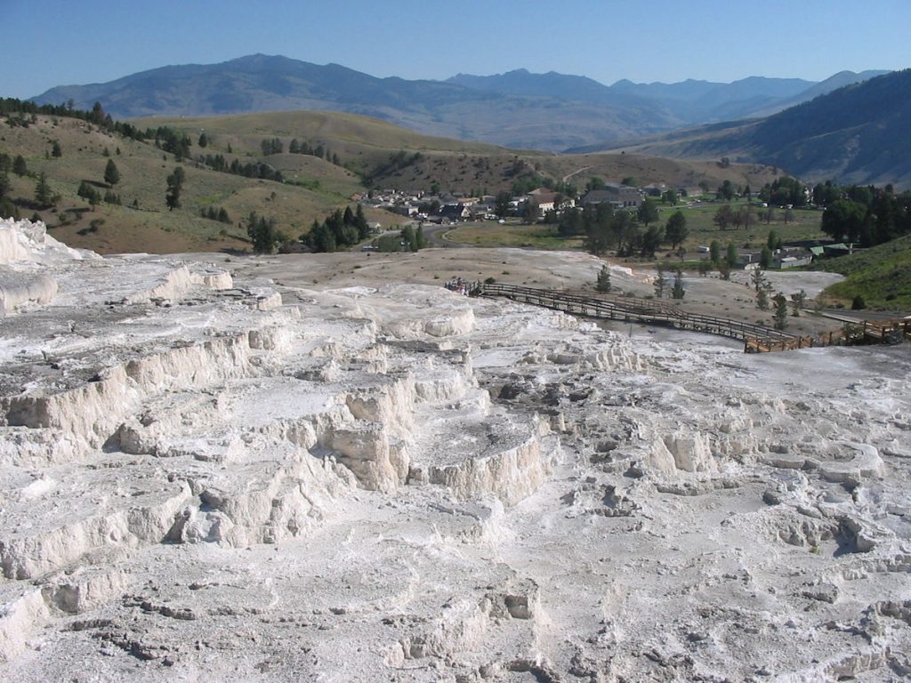
These have been mostly inactive since about 1998.
Beautiful colors, though.
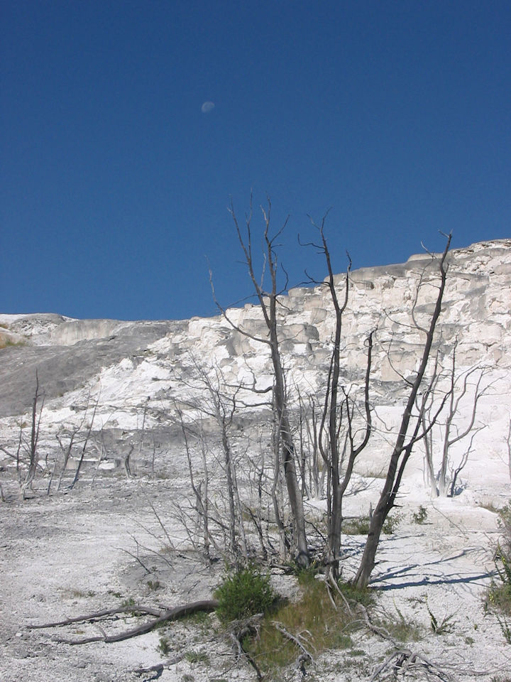
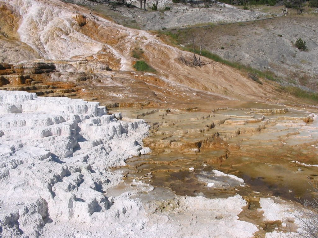
The water evaporates and the minerals stay behind.
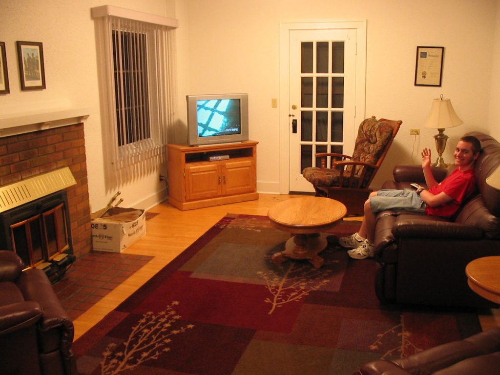
We enjoyed a nice evening at the Grant Village Lodge.
No TV, no internet, no phone. Ahhh, peace and quiet.
Day 5: Thursday July 5
Yellowstone, Wyoming to Malmstrom Air Force Base, Montana
Today 403 miles: Trip total 2,073
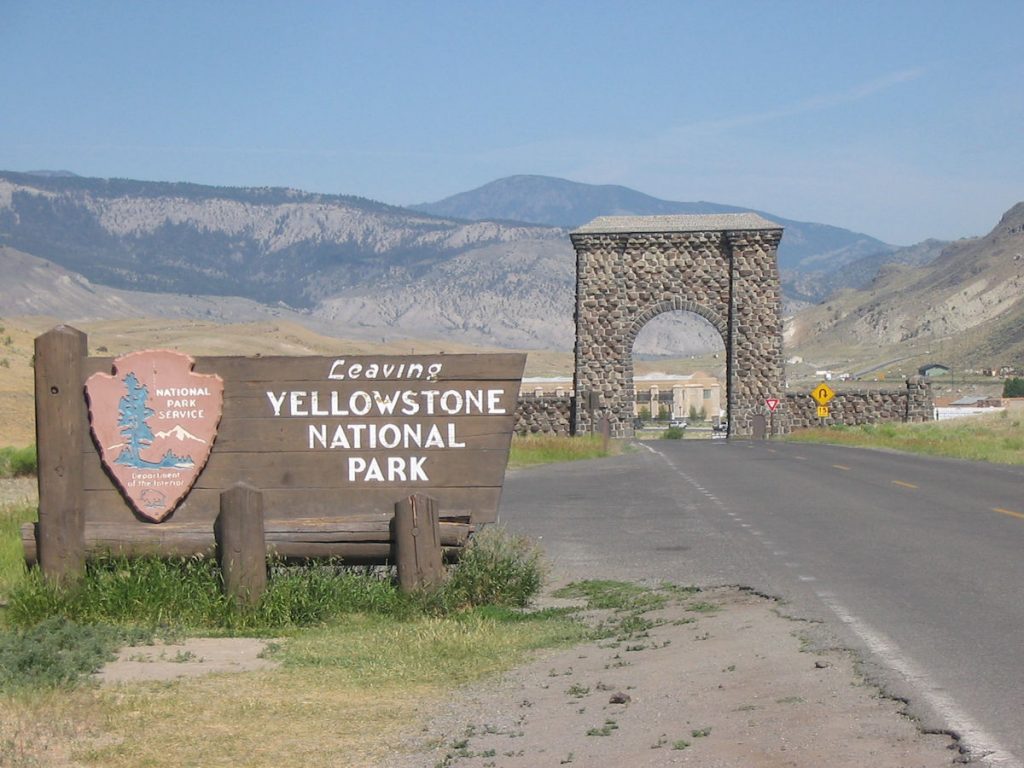
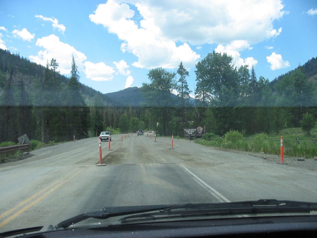
Leaving the North Entrance by Gardiner, Montana.
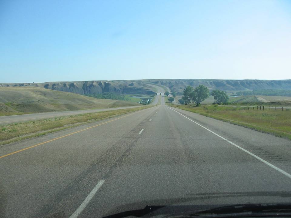
Lots of flat country, with occasional hills like this.
Kind of uneventful after Yellowstone.
We stayed at Malmstrom Air Force Base lodging Thursday night.
Very nice 2-bedroom suite. Brought Papa Johns pizza back to the room.
Day 6: Friday July 6
Malmstrom AFB, Montana to Edmonton, Alberta (Canada)
Today 530 miles: Trip total 2,603 miles
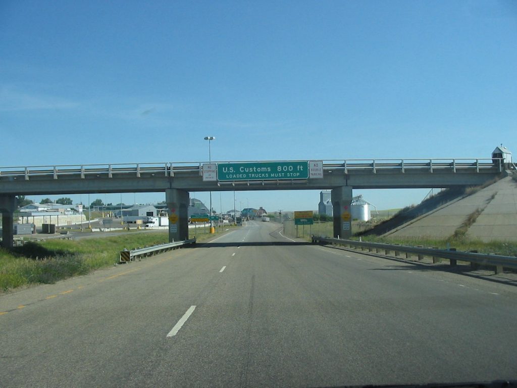
Here, we are approaching the Canadian border.
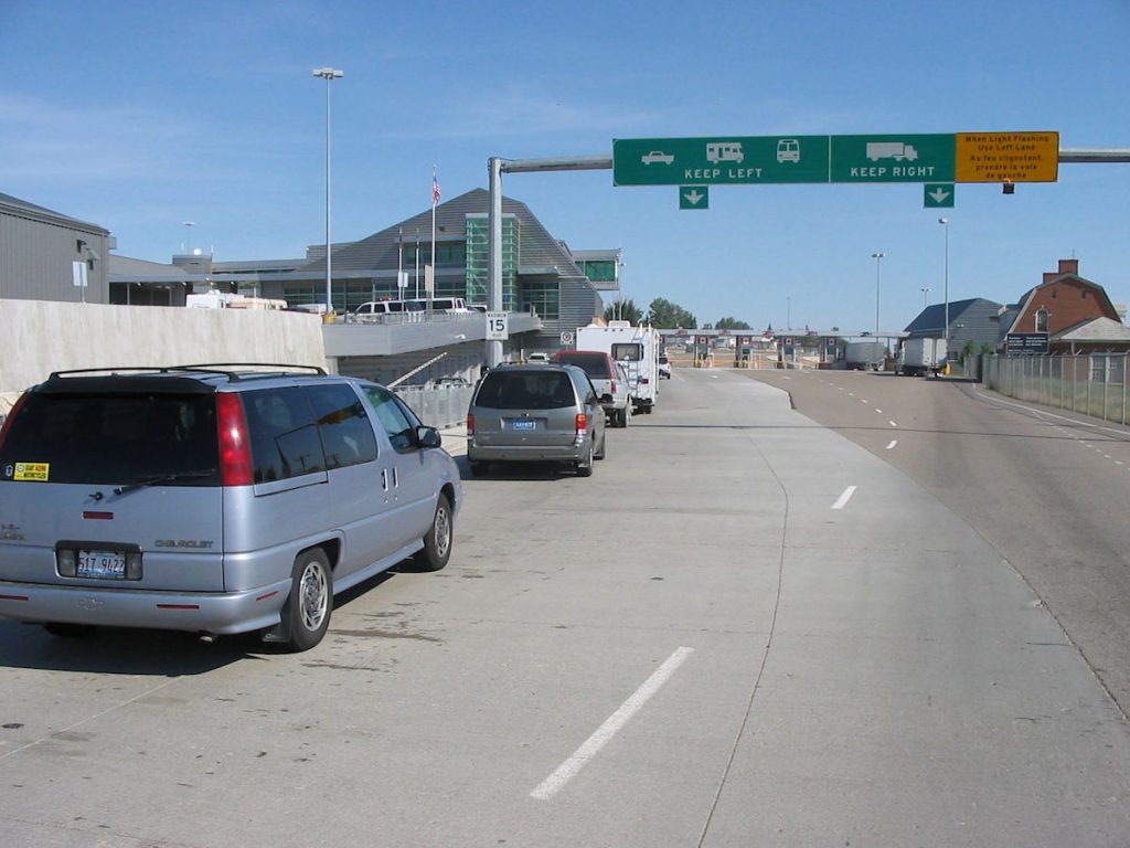
It took about an hour to get through the line of 15 cars.
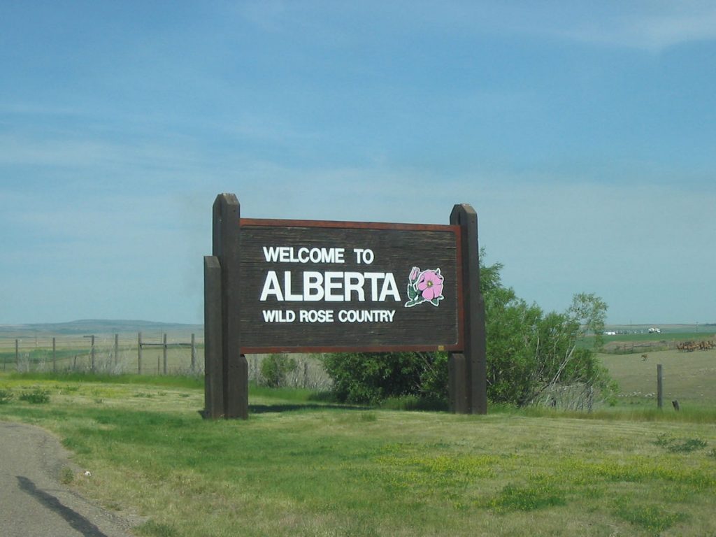
Alberta is mostly flat farming country. Lots of grain fields.
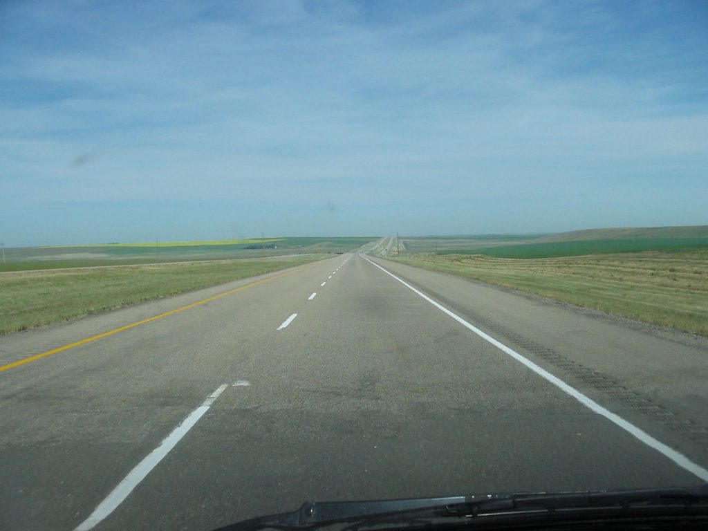
Alberta looks like this much of the way to Edmonton.
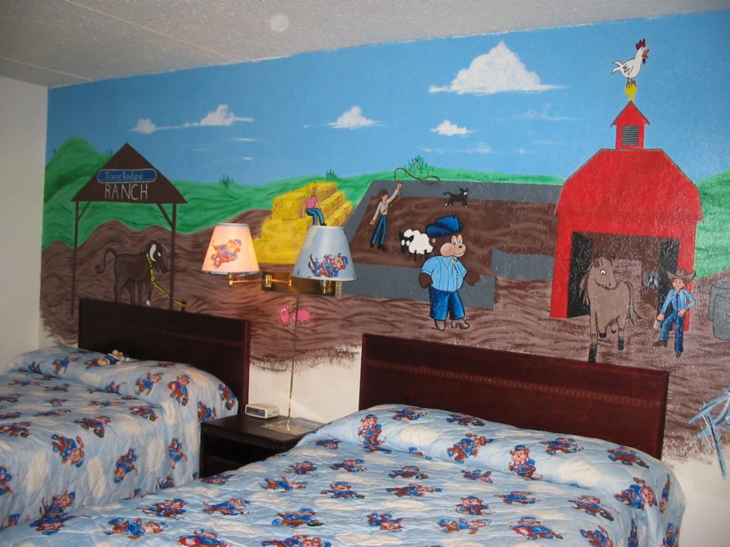
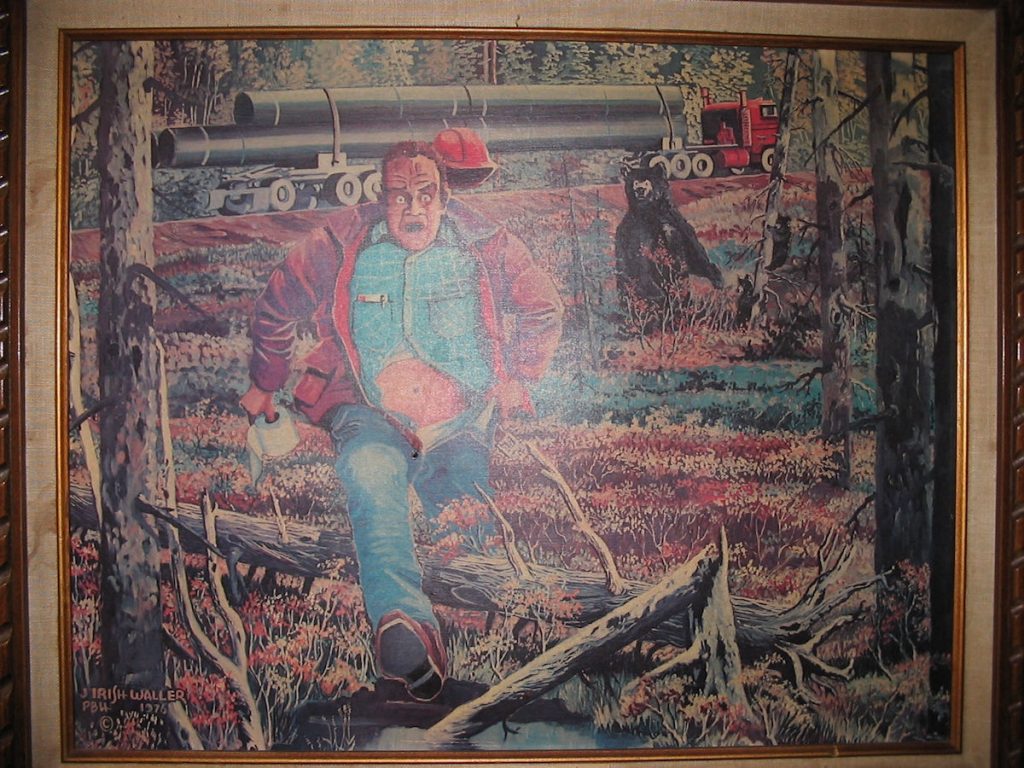
The Travel Lodge was nice and reasonably priced, but the lady told me the only room left was a “Theme Room” with bears.
I thought Spencer would get a laugh out of this. He did.
I promised to email this picture to all of his friends at school.

Day 7: Saturday July 7th
Edmonton, Alberta to Fort Nelson, British Columbia
Today 653 miles: Trip total 3,256 miles
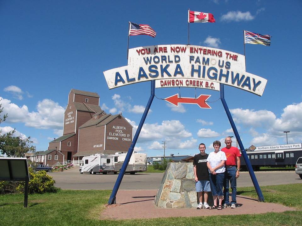
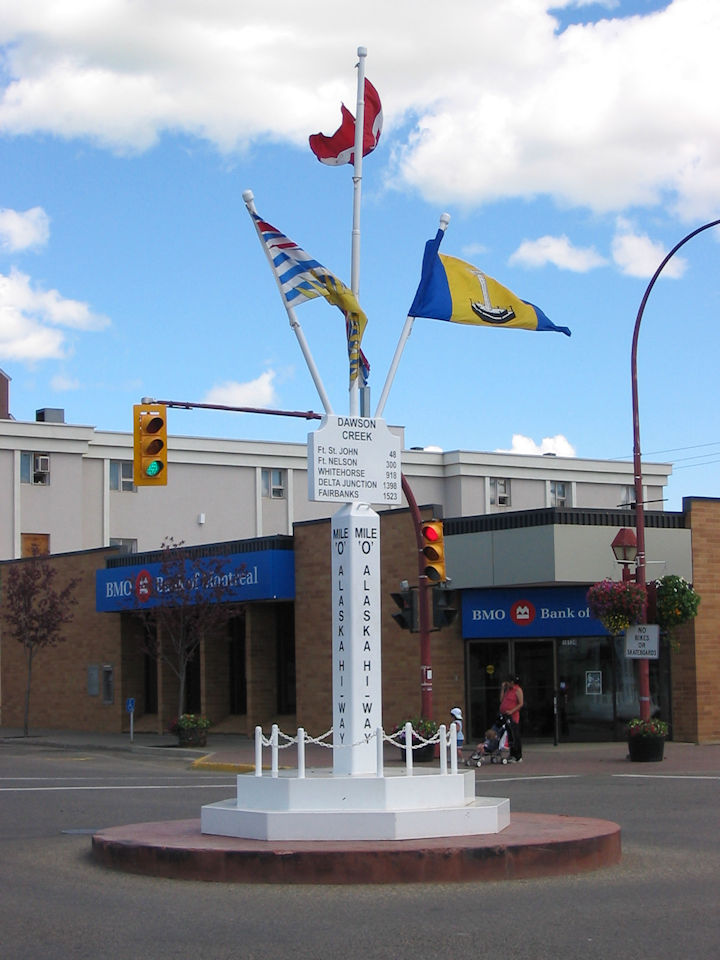
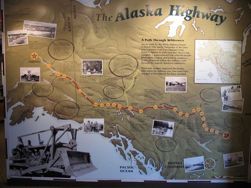
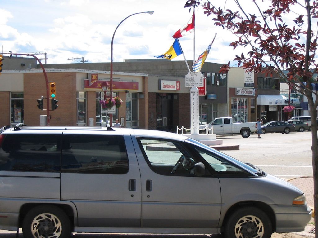
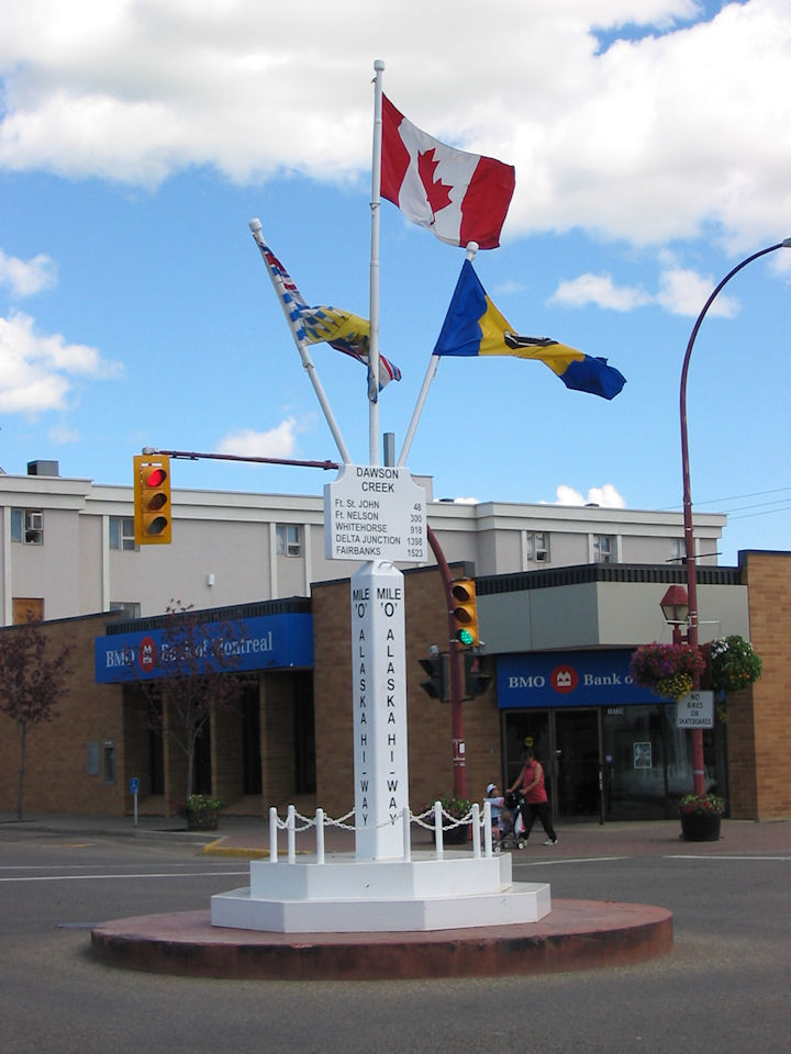
We were up early and on the road by 6:00am. We decided to drive for an hour before stopping for breakfast at McDonalds in Whitecourt. Then, it was on to Dawson Creek, the start of the ALCAN (Alaska/Canada Highway).

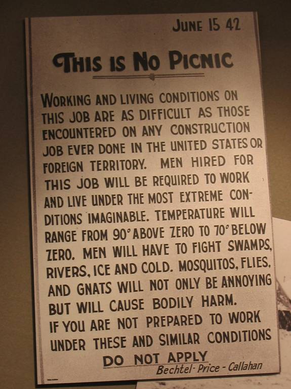
those applying for work on the Alaska Highway.
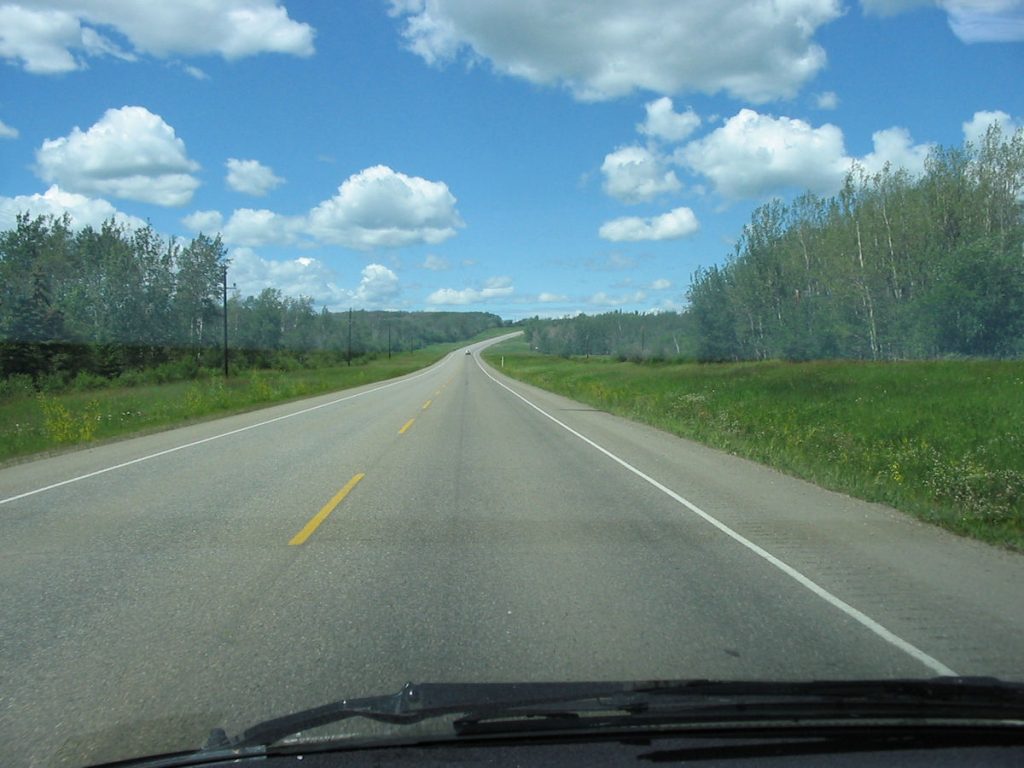
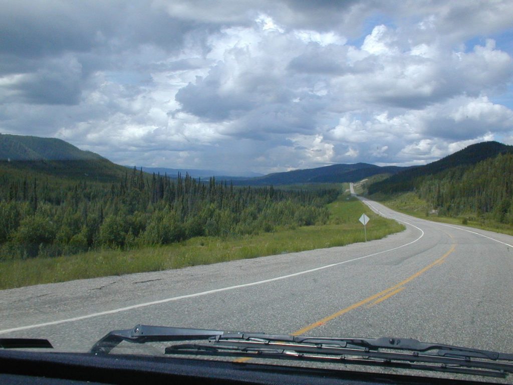
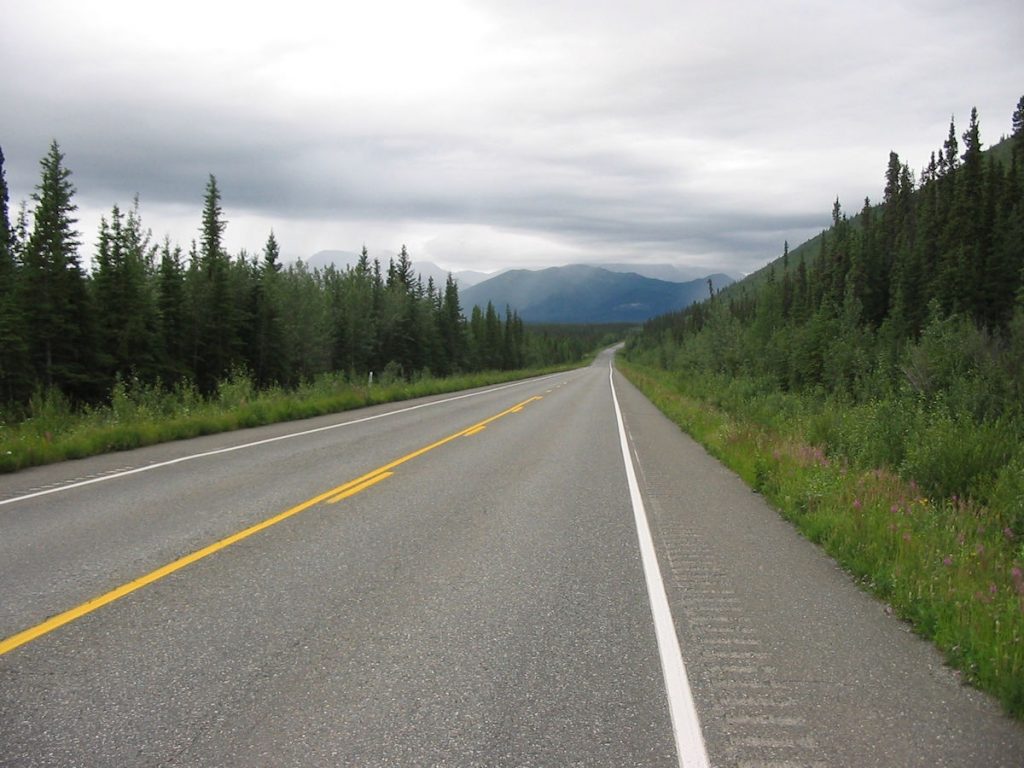
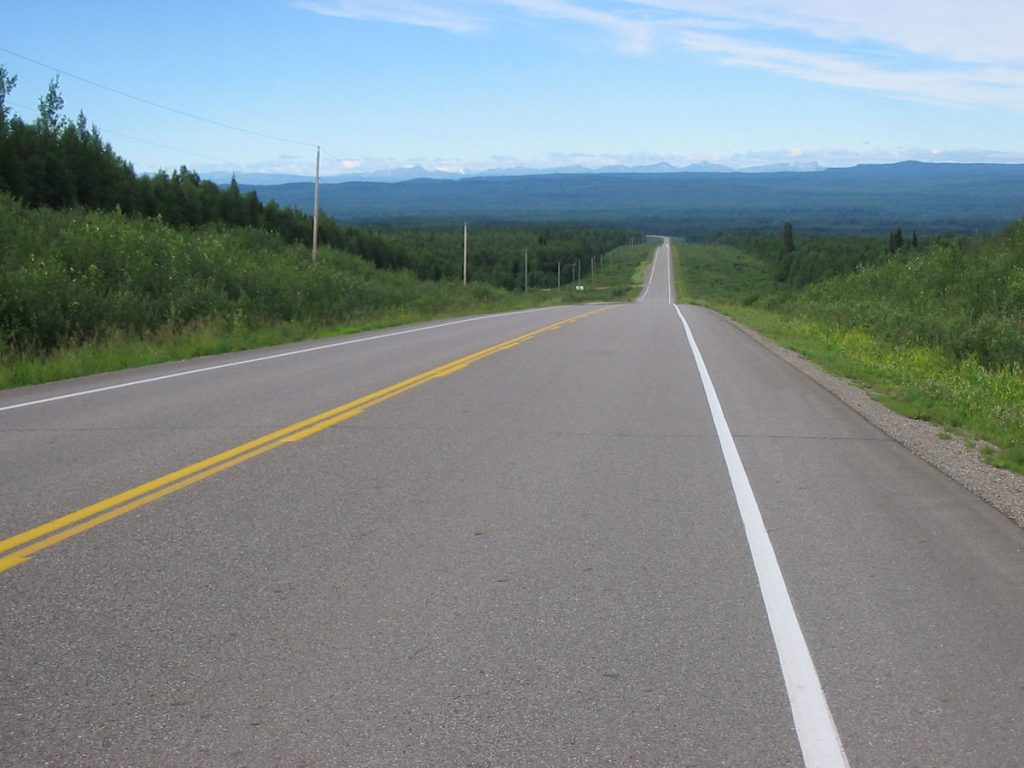
This is where the countryside transitions from farmland to forest.
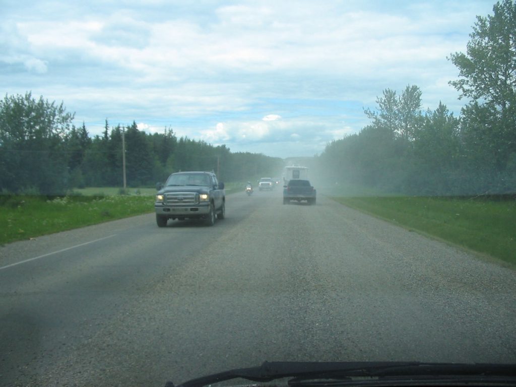
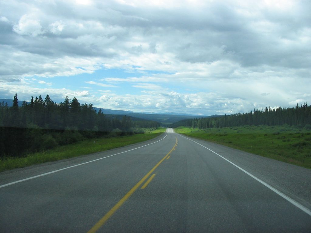
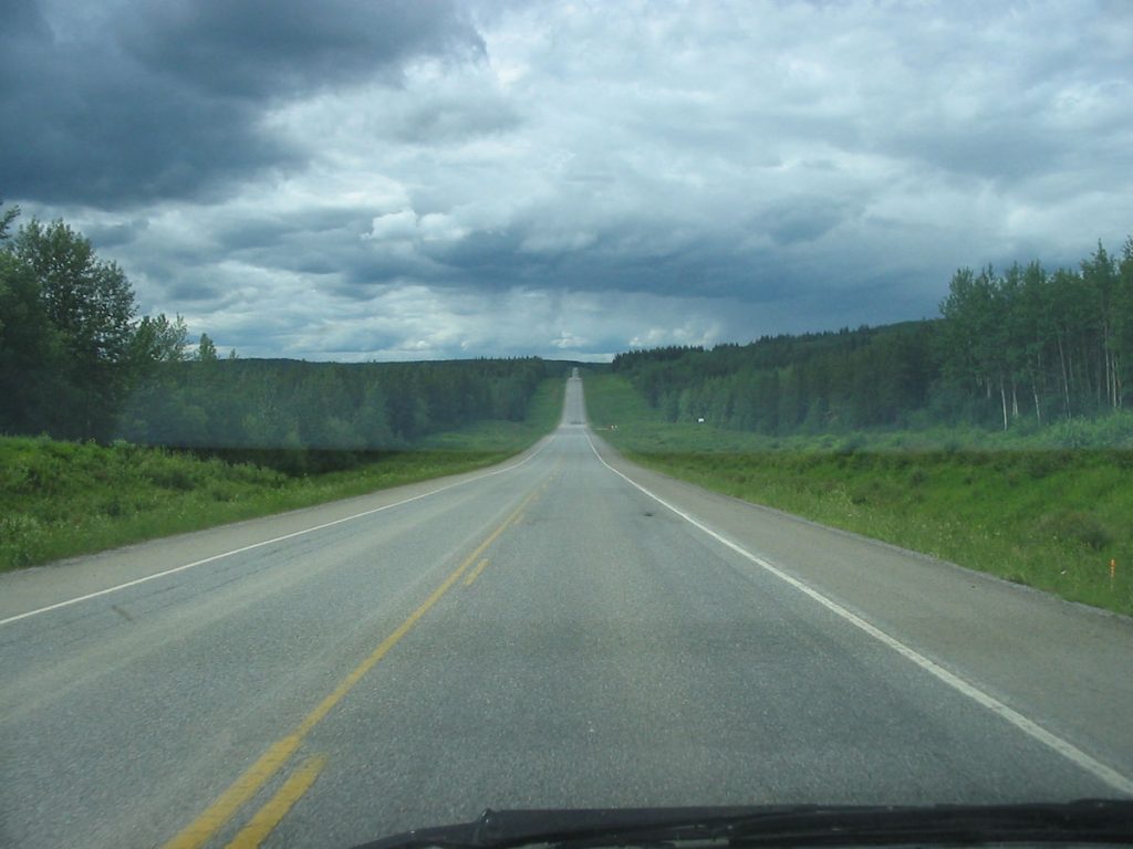
And looking more like rain.
Civilization is rapidly disappearing in our rearview mirror. So is the rain.
We made it to Fort Nelson and stayed at Woodlands Inn, a very nice (new) hotel. We also got our first reminder of how expensive everything is on the ALCAN. Gas was $5.00 per gallon, and a medium pizza was $25.00. Ouch!
Day 8: Sunday July 8th
Fort Nelson, British Columbia to Teslin Lake, Yukon
Today 475 miles: Trip total 3,731 miles
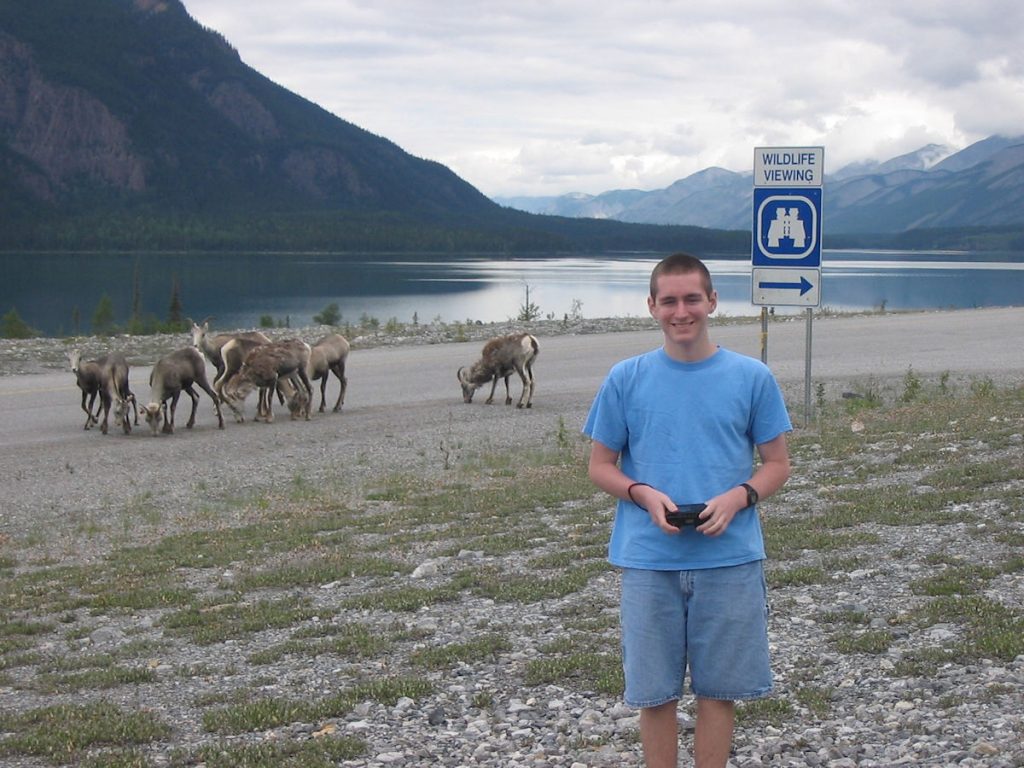
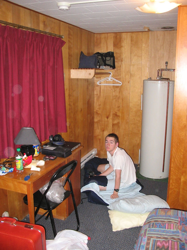
I awoke this morning with terrible nausea and headache. Could it be the greasy pizza from last night? I didn’t want to slow down our progress, so I decided to get out the pillows and sleep in the 2nd row seat while Beth and Spencer drove. I rested for about 2 hours, then awoke when I heard the excitement – wildlife all over the road!
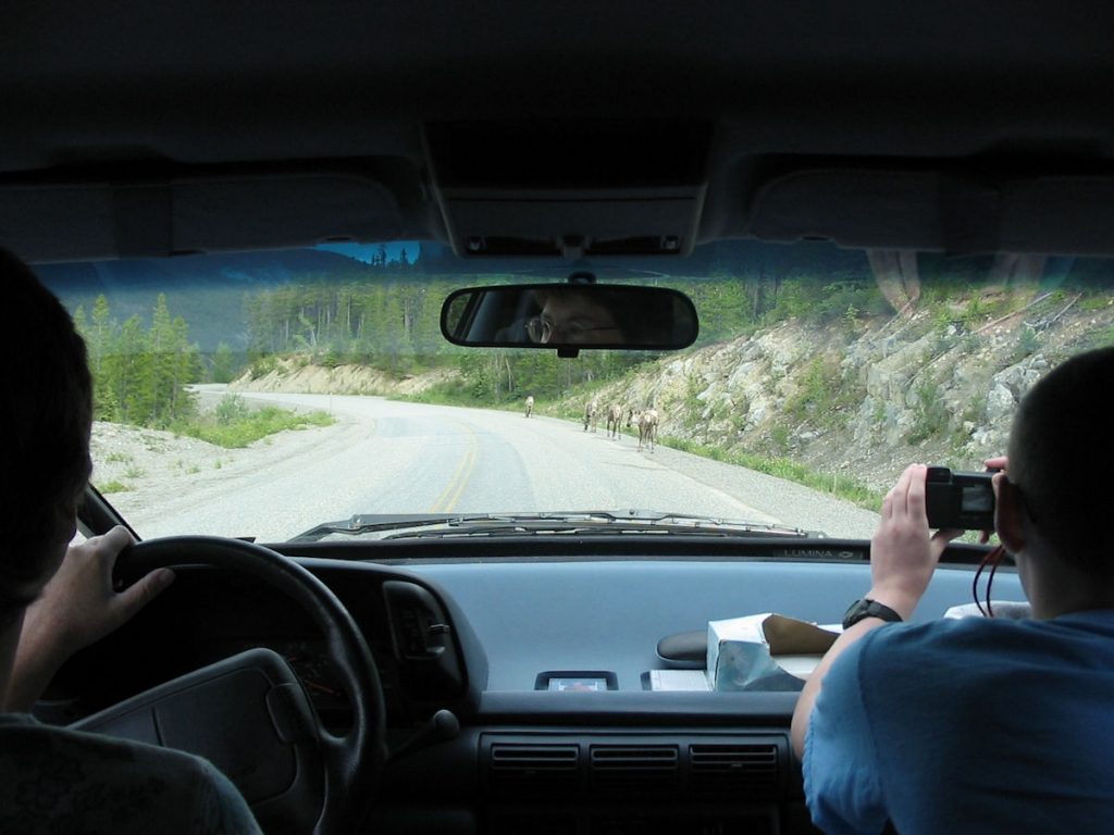
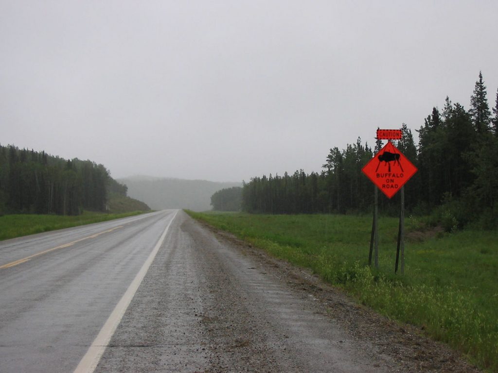
wildlife on the highway.
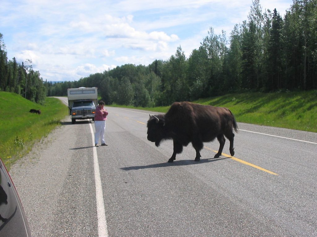
Can’t they see Beth is driving???
says they should be over here.
By now, I was feeling better and gave
Beth and Spencer a break from driving.
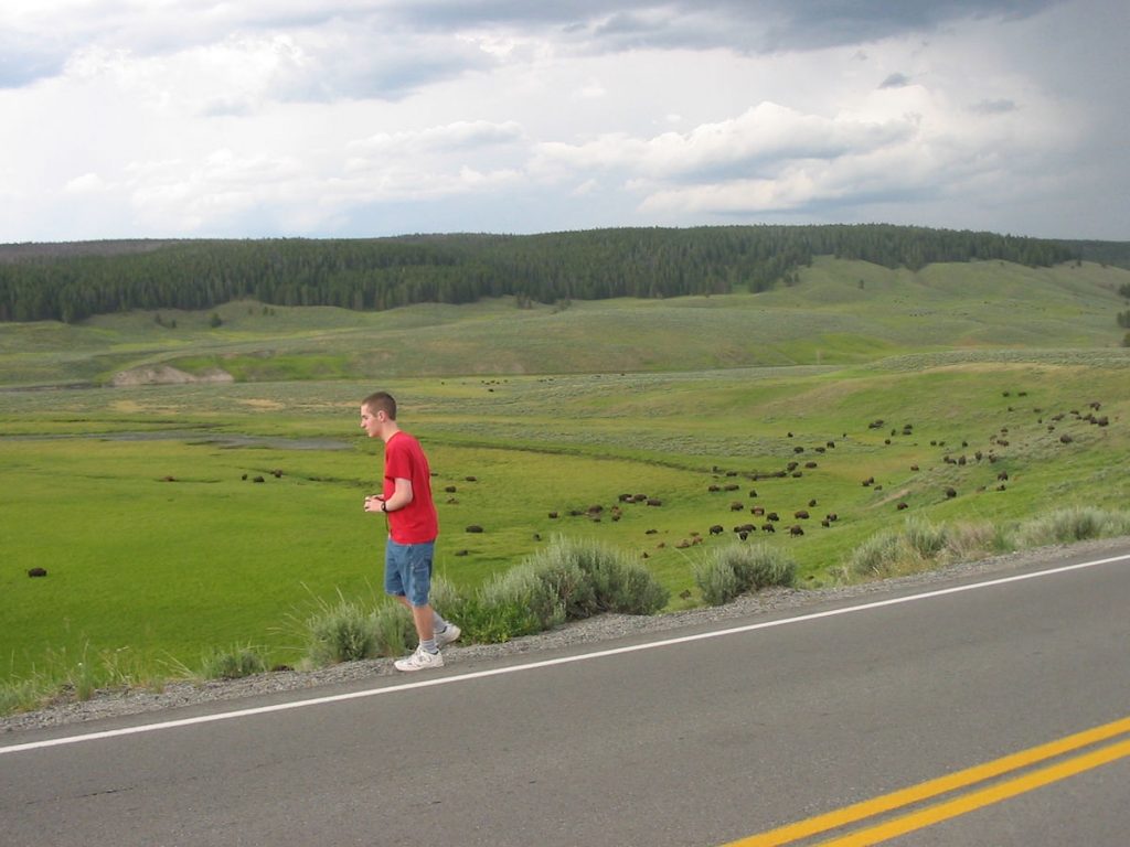
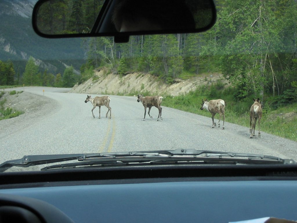
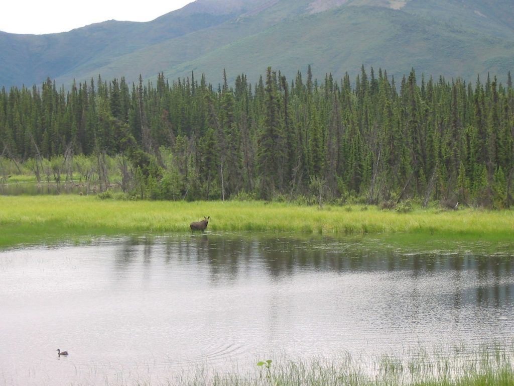
We stopped as a herd passed in front of and behind us.
I guess she wanted to socialize with them. Cool until they get spooked.
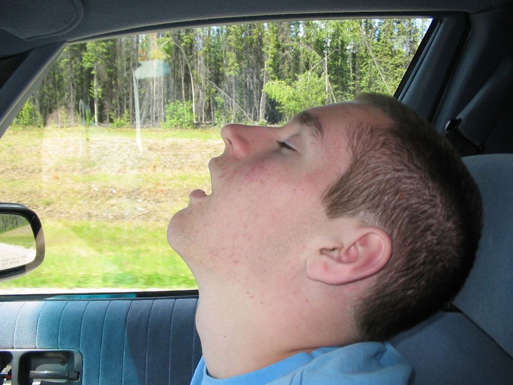
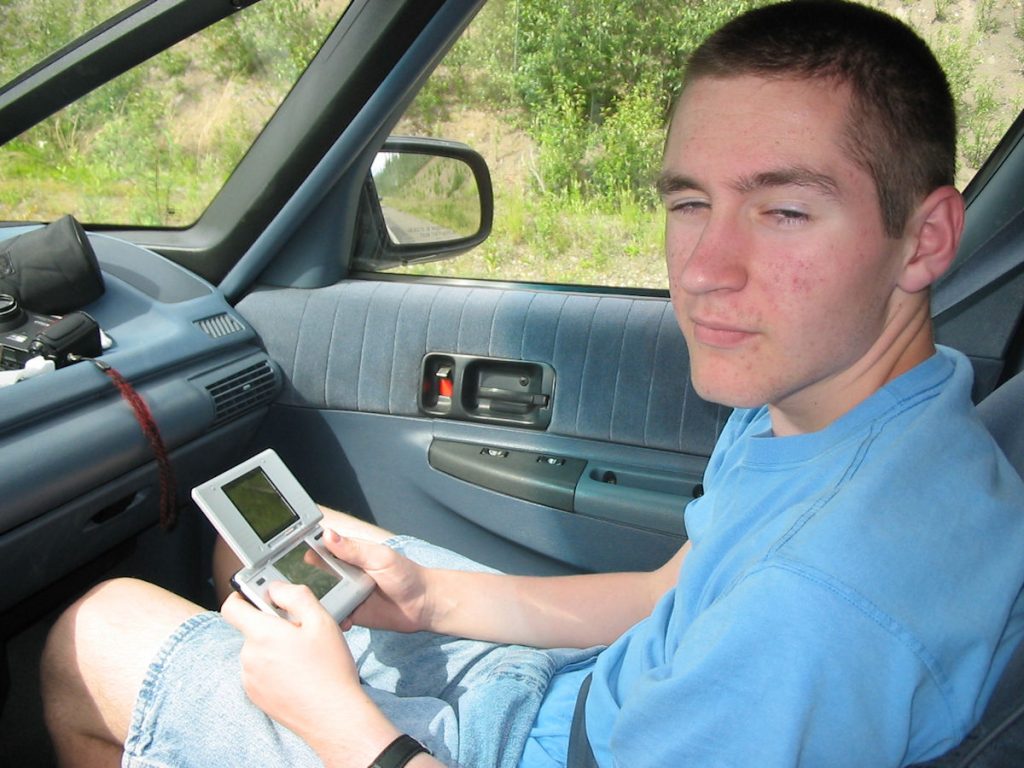
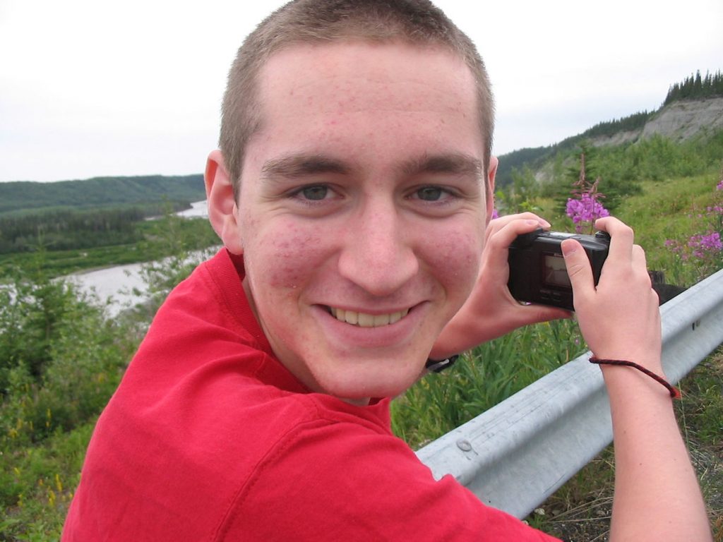
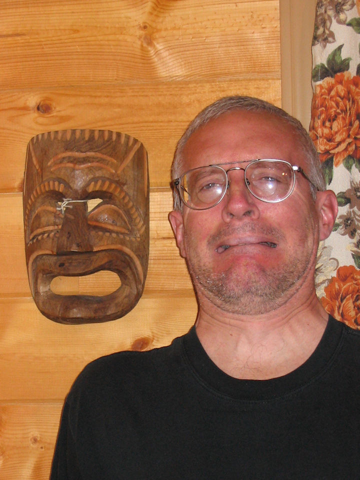
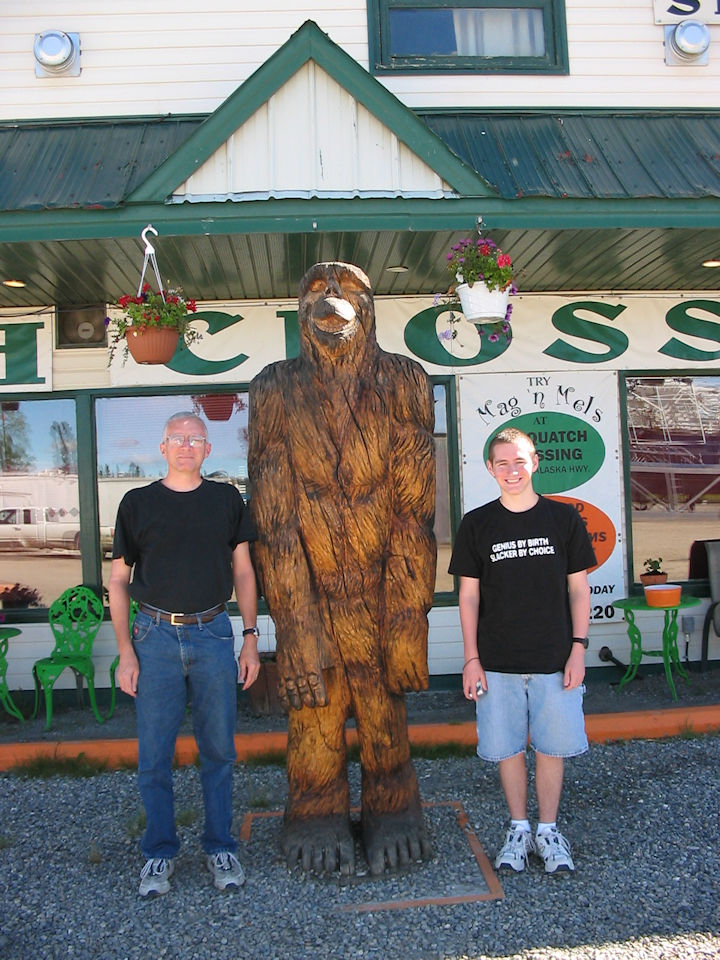
He’s smiling, but he’s also asleep (note the closed eyes).
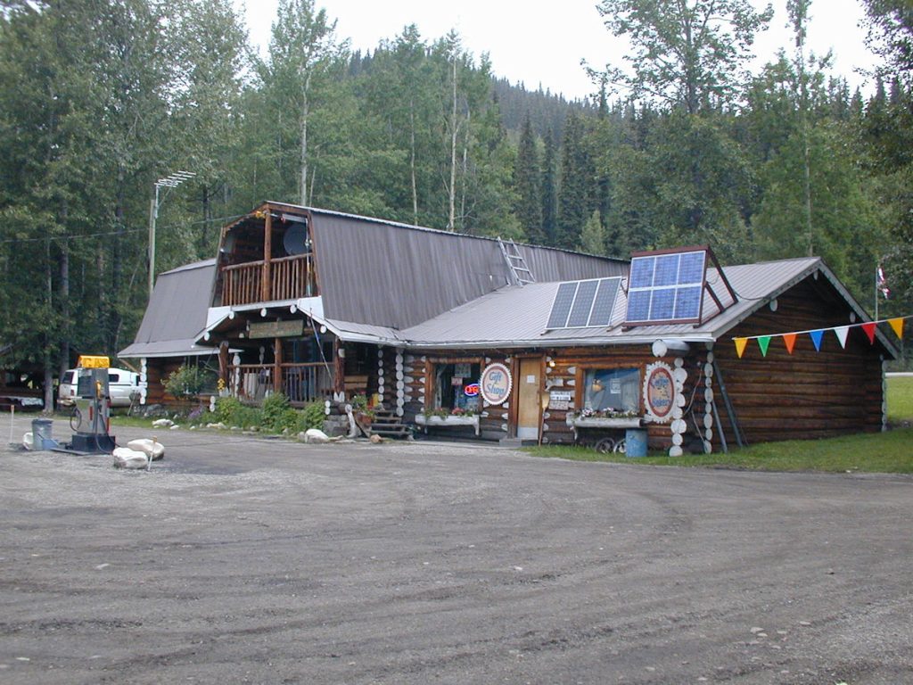
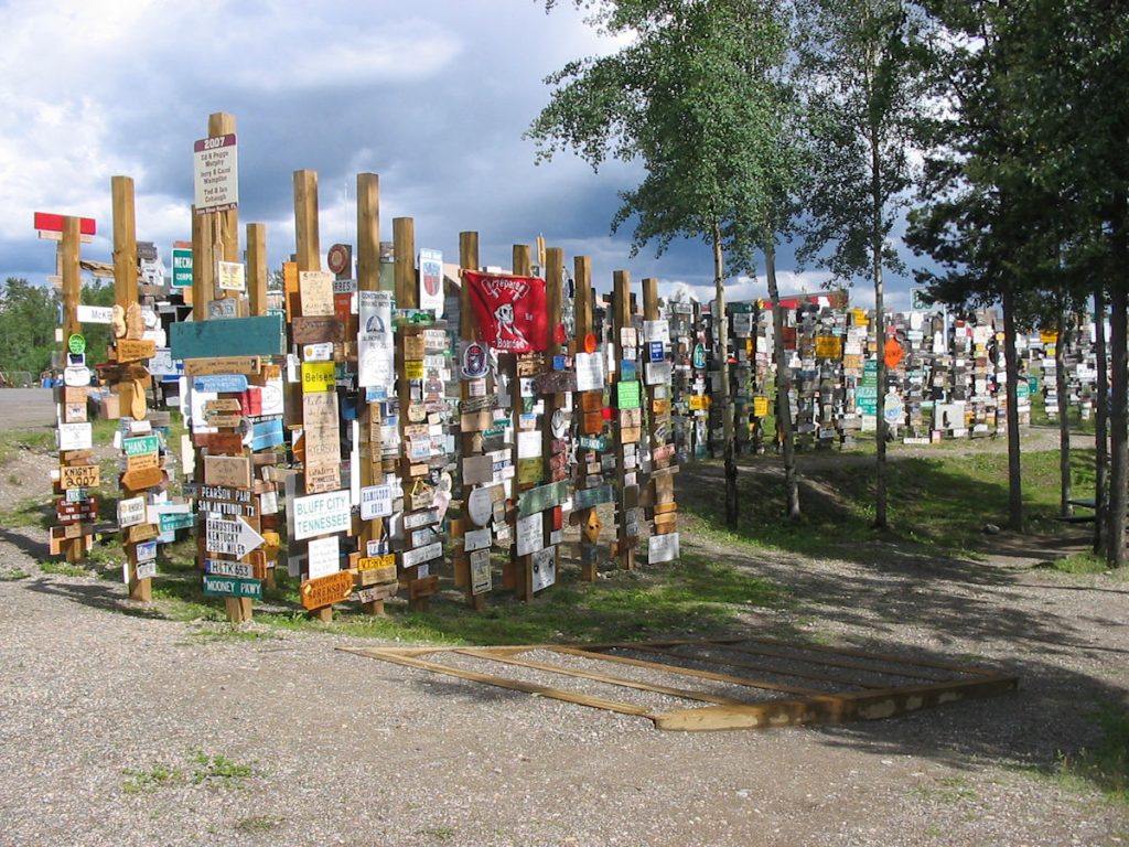
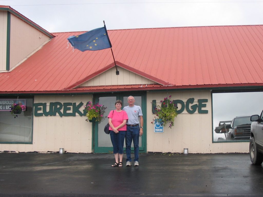
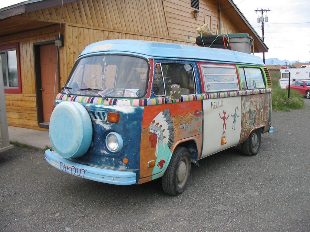
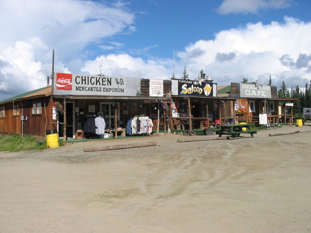
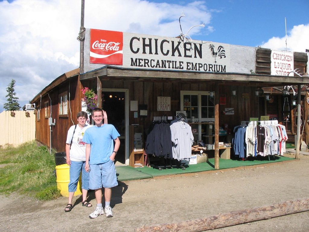
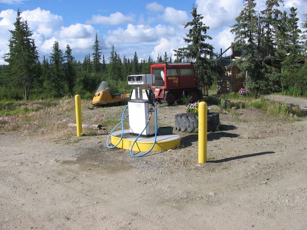
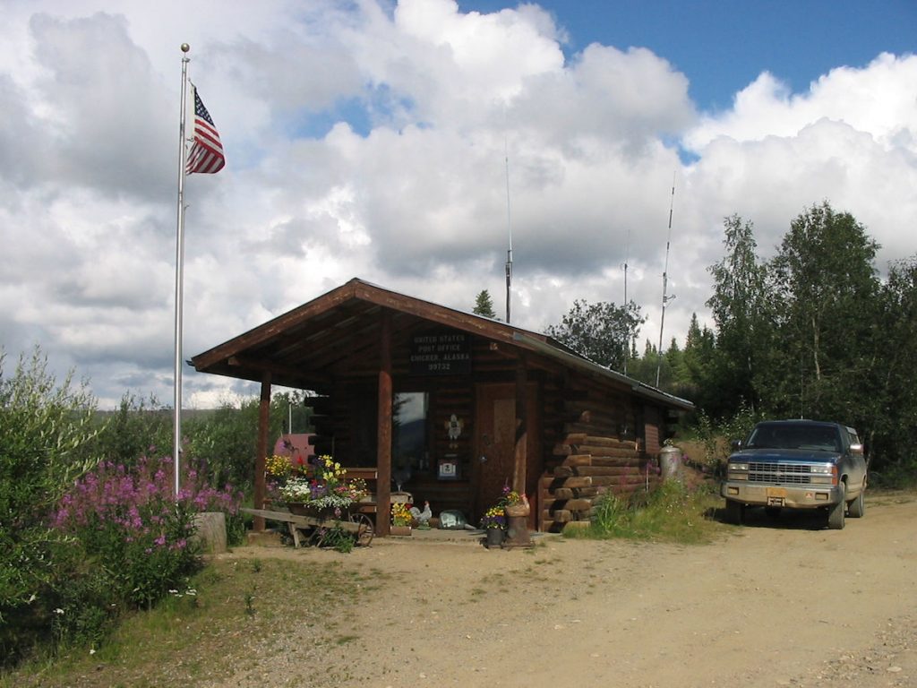
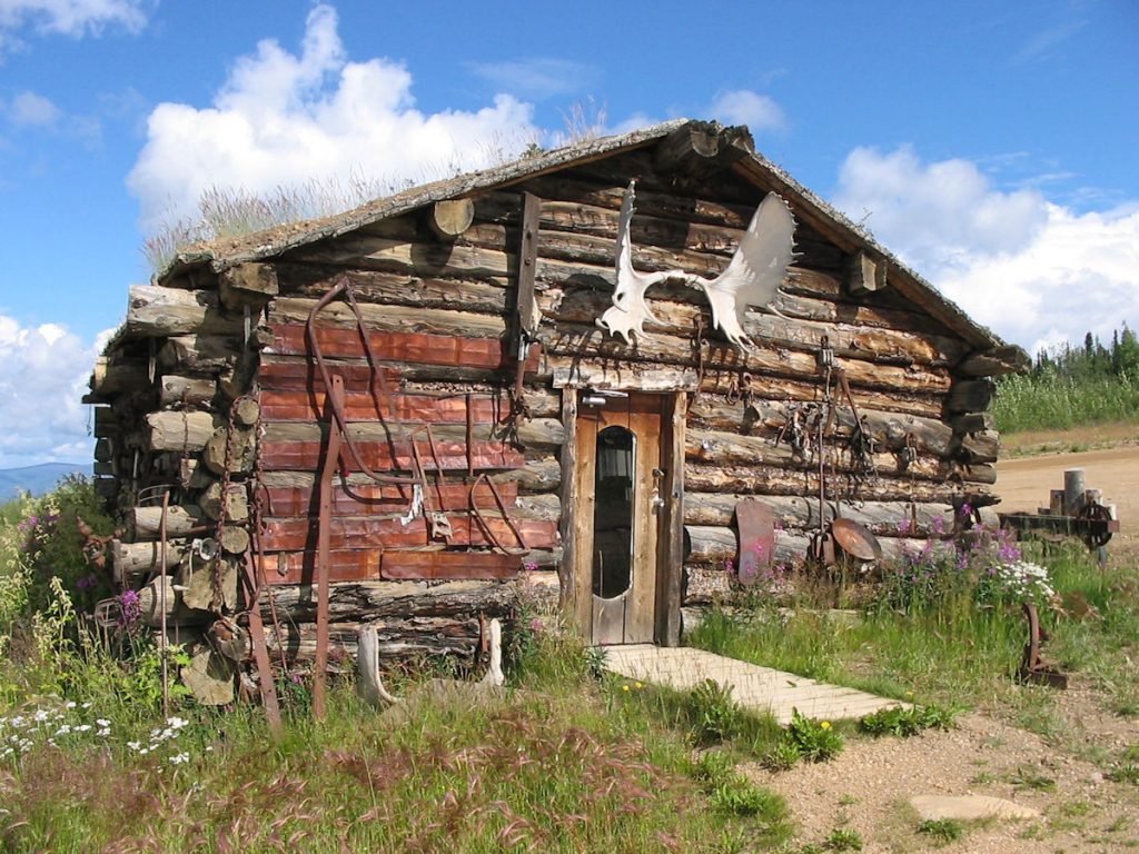
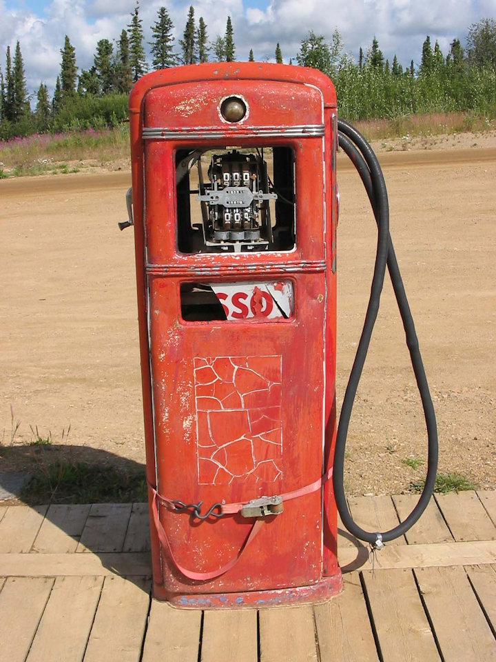
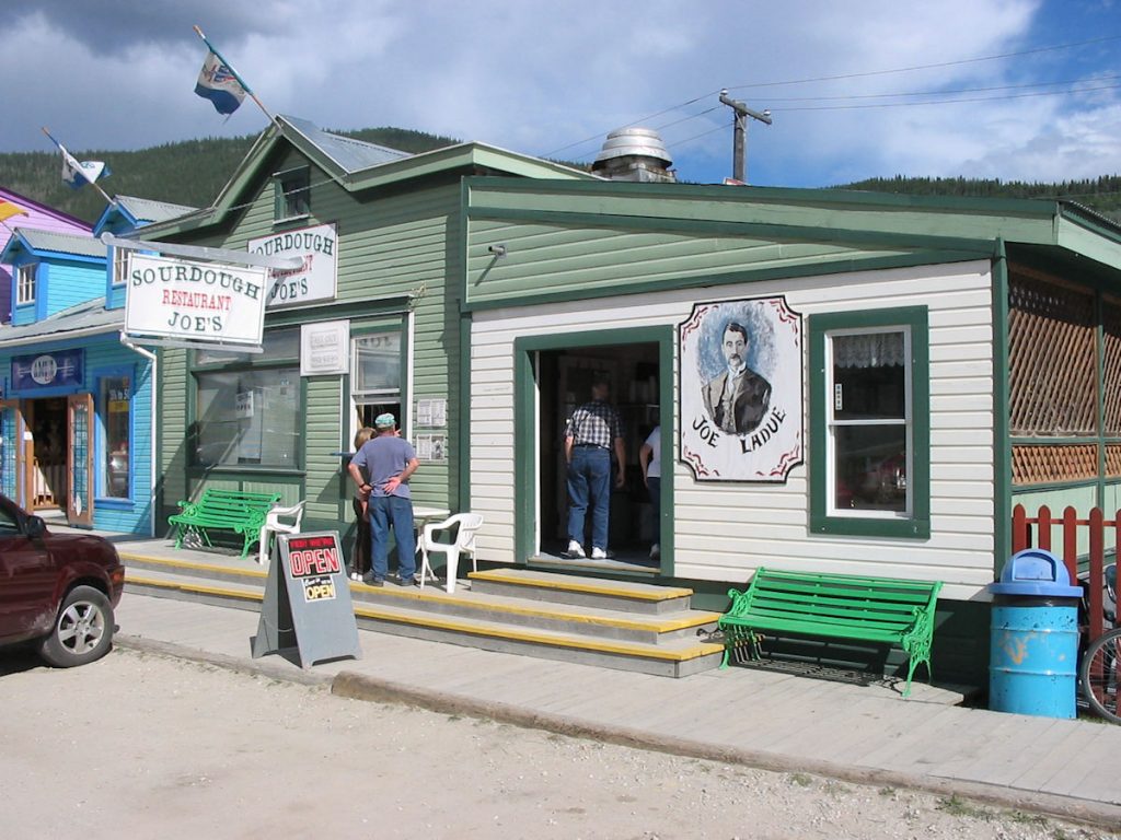
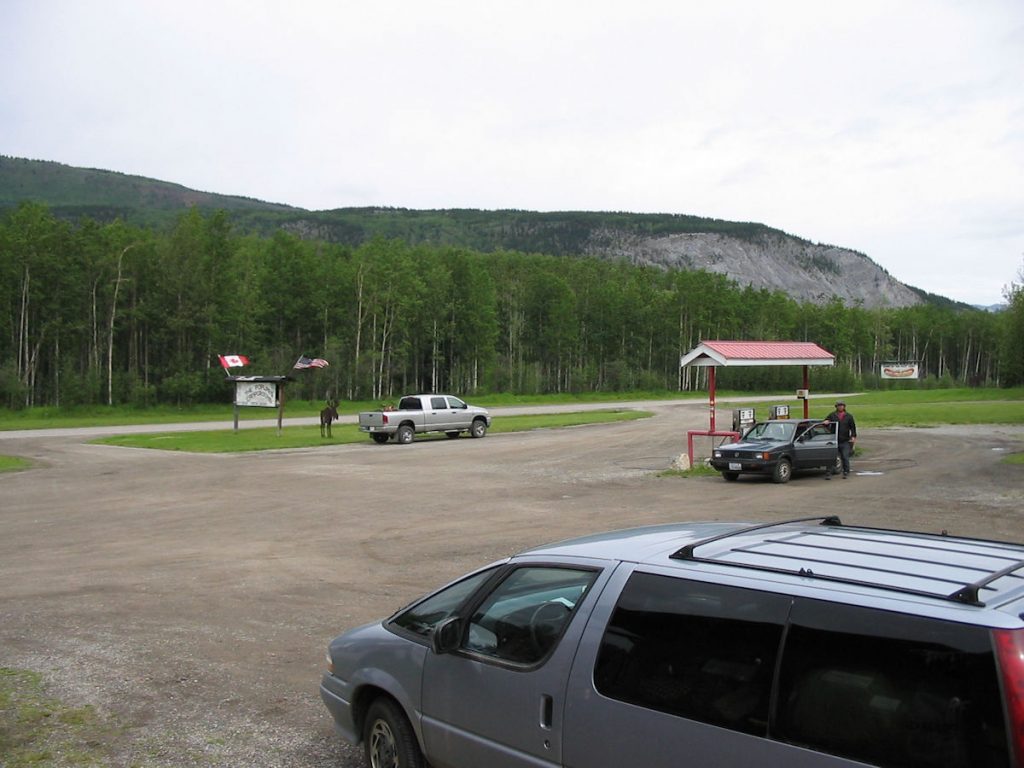
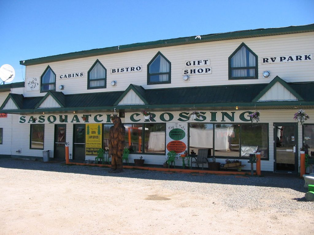
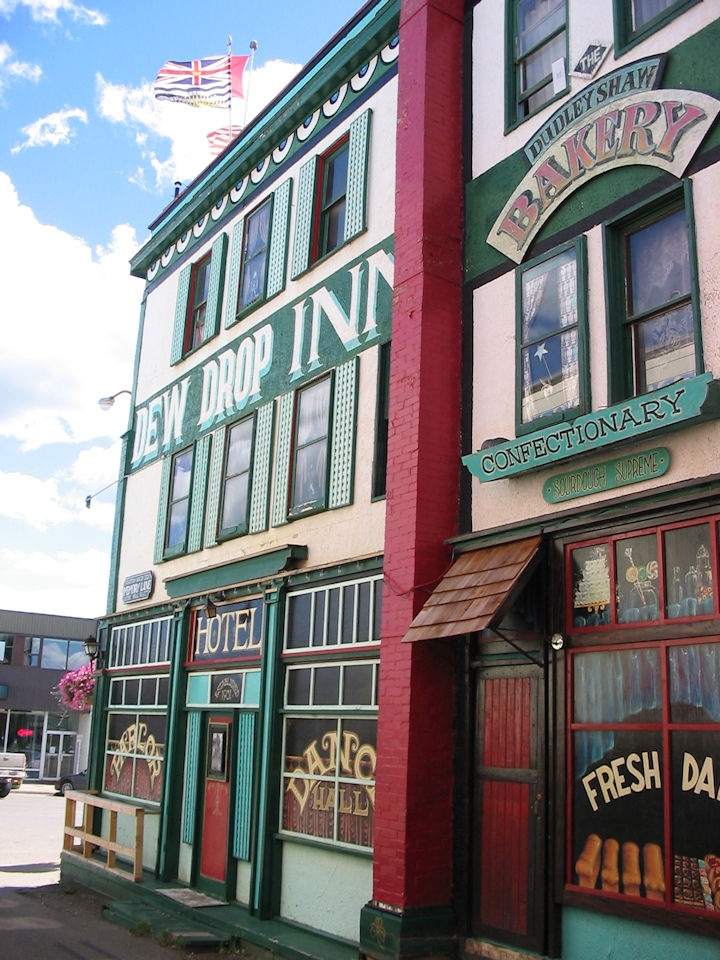
Lots more “personality” than the corner Exxon back home.
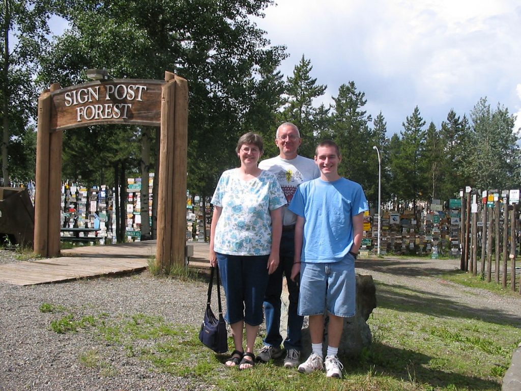
in the 1940s put up a sign from his hometown.
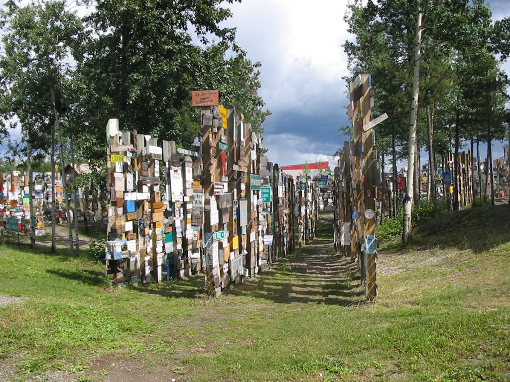
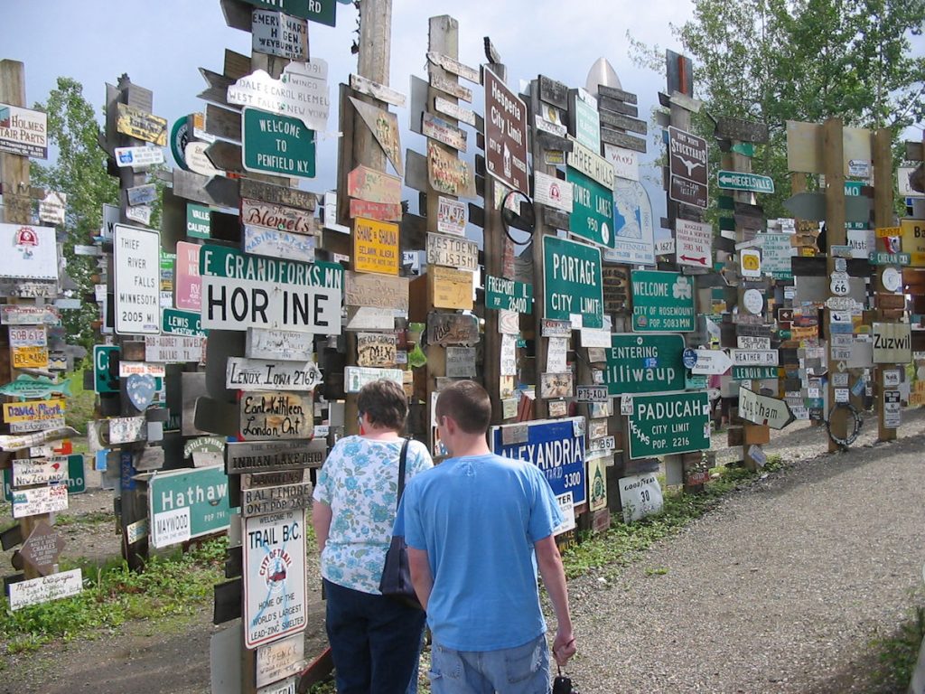
Over the years, tens of thousands (yes!) of signs have been
added to what is now known as the Sign Post Forest.
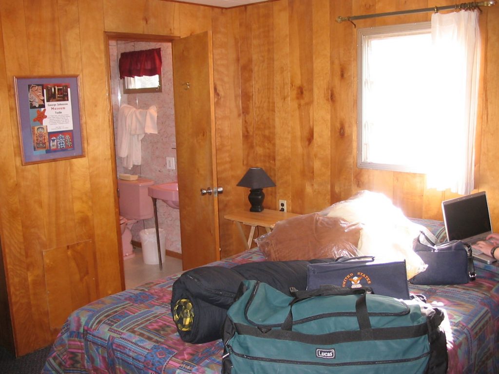
We had indoor bathroom, electricity, a bed, and no mosquitoes. What more do you want?
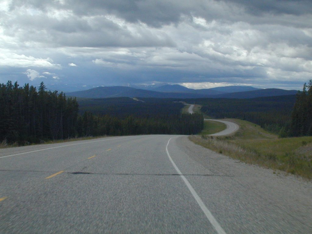
Day 9 : Monday July 9th
Teslin Lake, Yukon to Tok, Alaska
Today 503 miles: Total miles 4,234
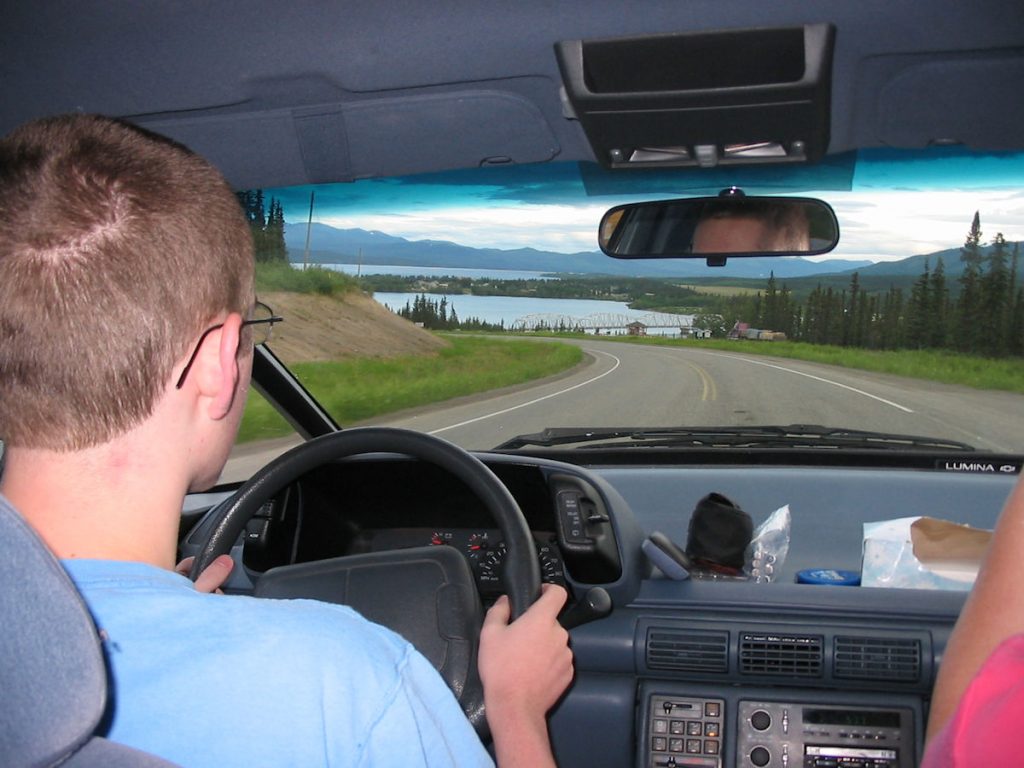
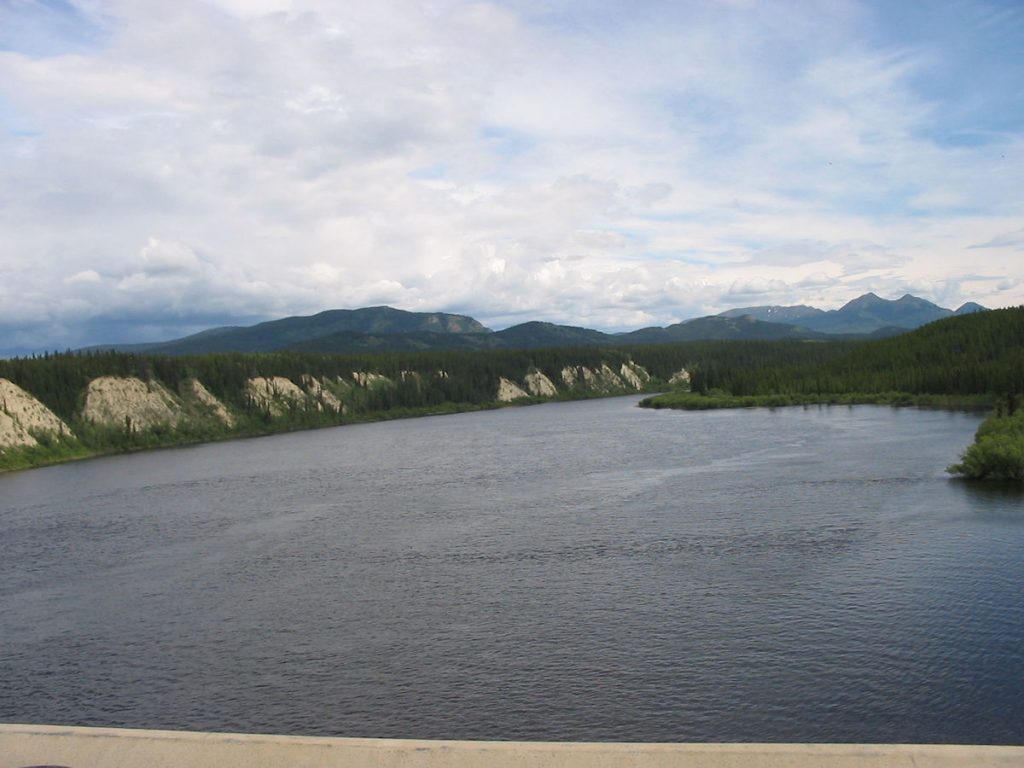
Here, Spencer is driving as we approach the Teslin River.
Spencer got to drive the one open lane with a 100-foot drop just inches to the left.
We made it!
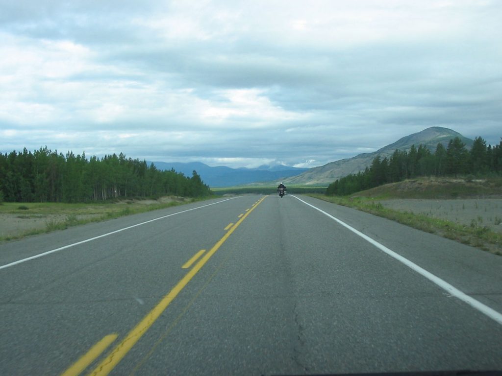
I originally thought I’d like to ride it, but it’s all paved now.
Not quite the adventure for a bike that it once was.
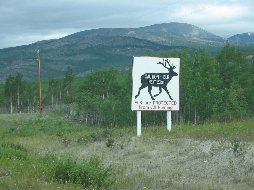
Other than Yellowstone NP, we did not see any coming or going to Alaska.
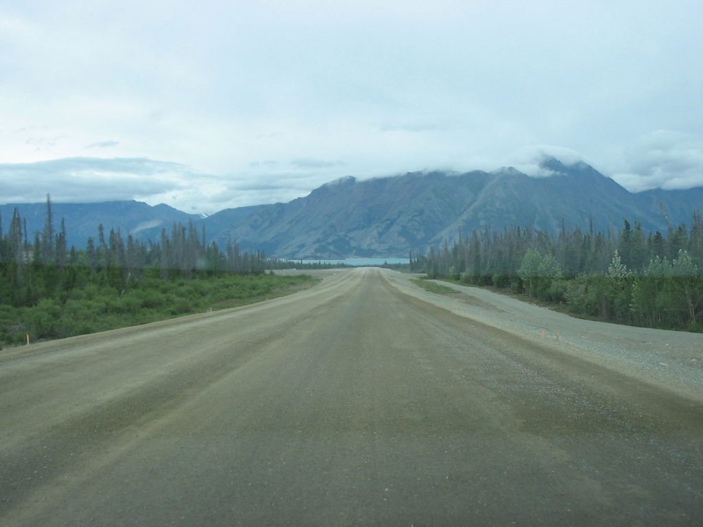
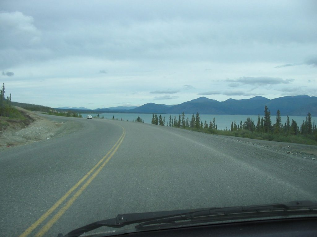
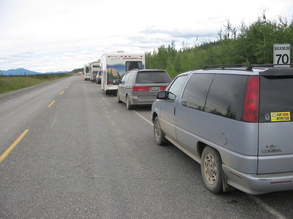
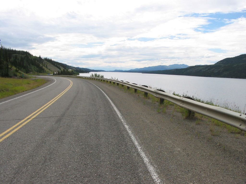
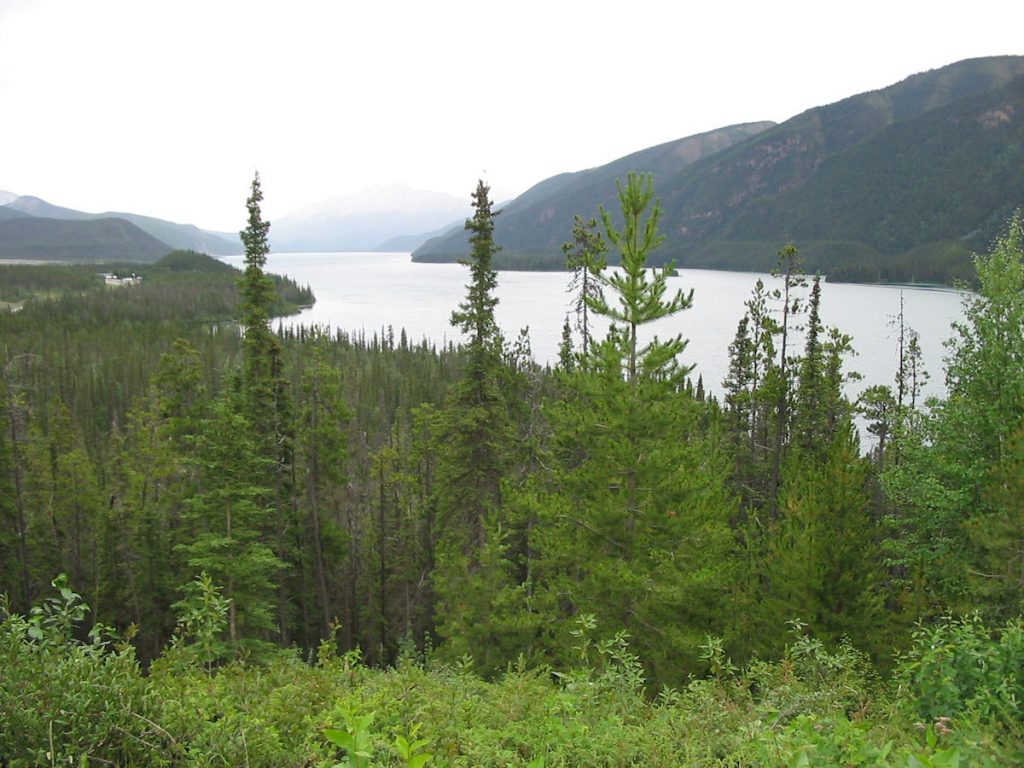
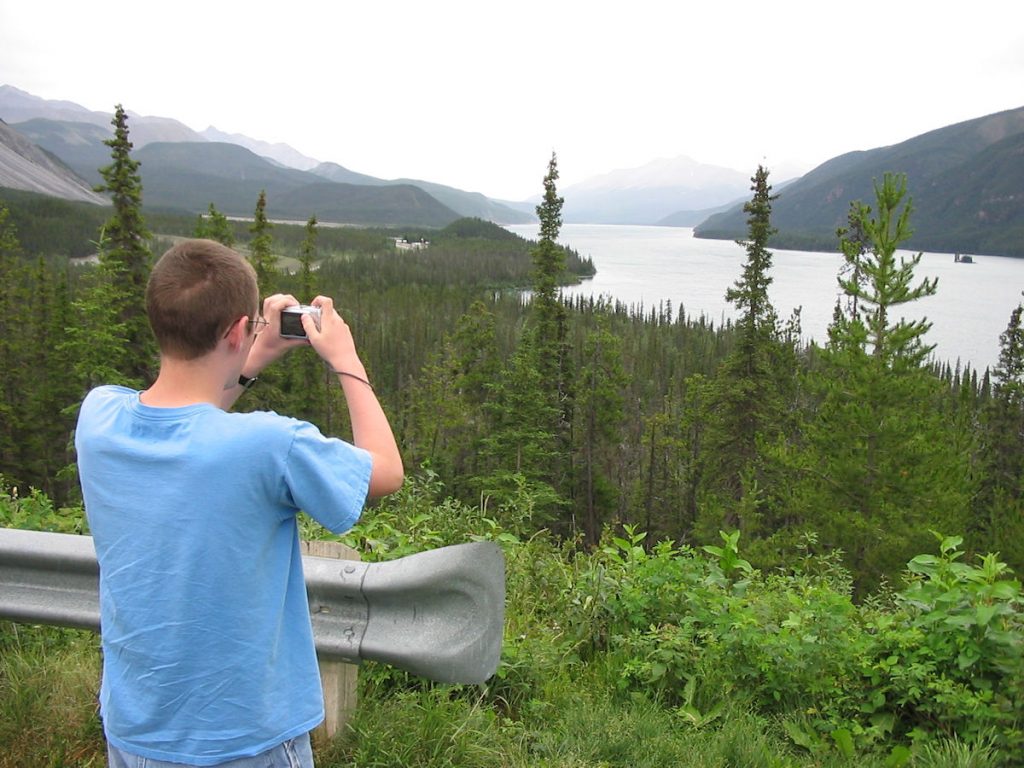
This is the largest lake in the Yukon (154 square miles)
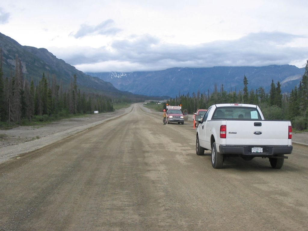
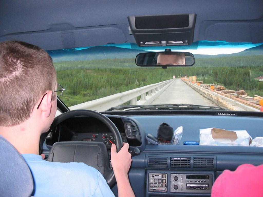
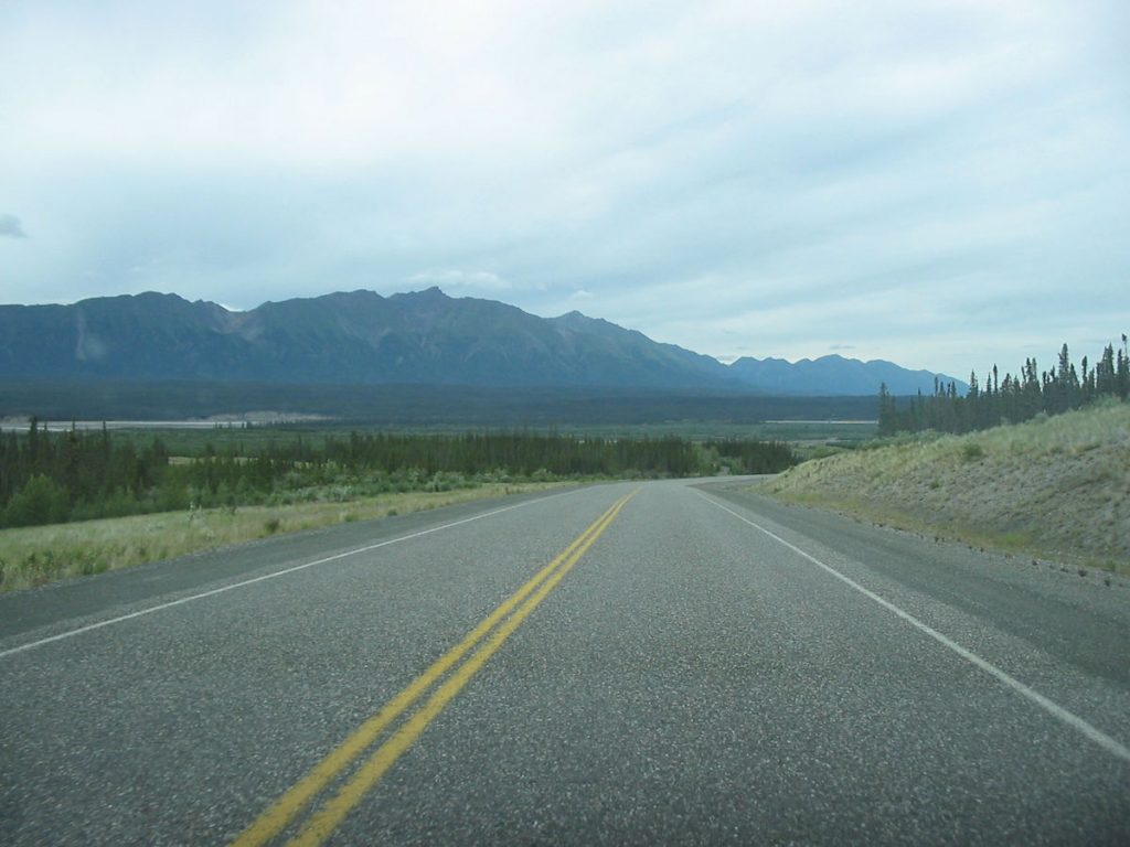
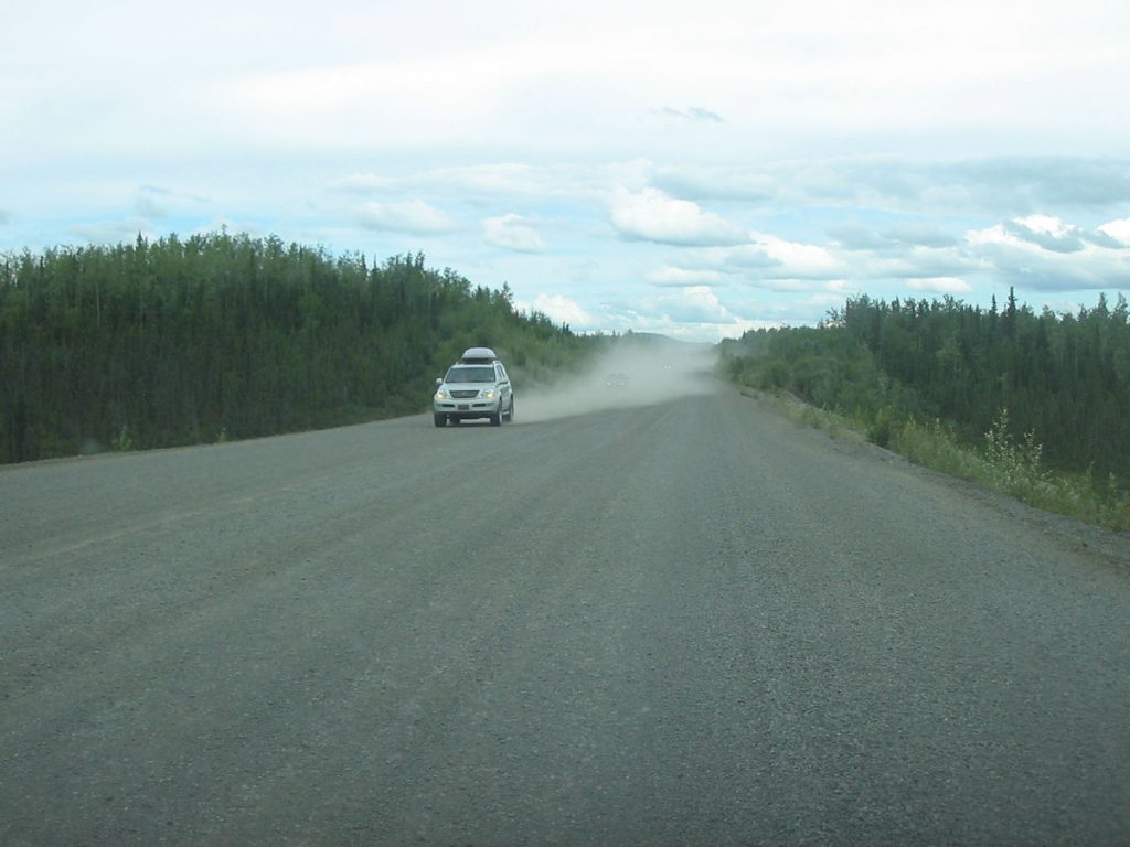
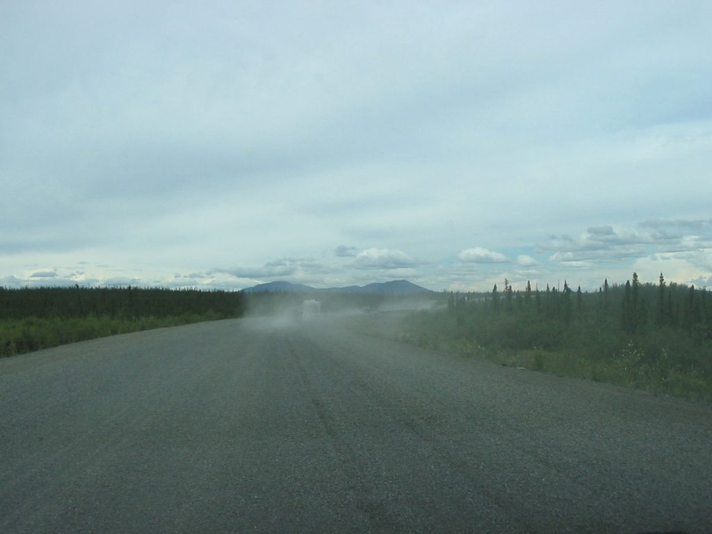
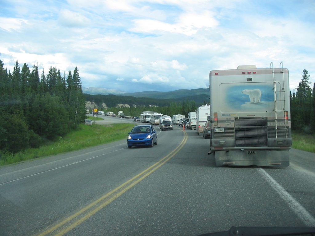
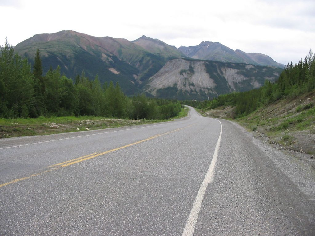
waiting for pilot cars to usher us through construction zones.
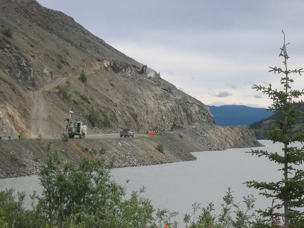
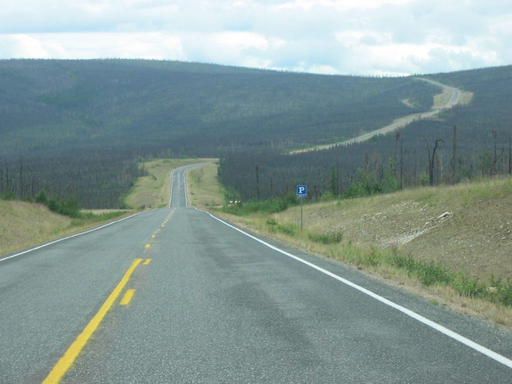
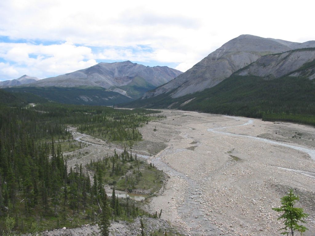
You can see why they want to widen the road.
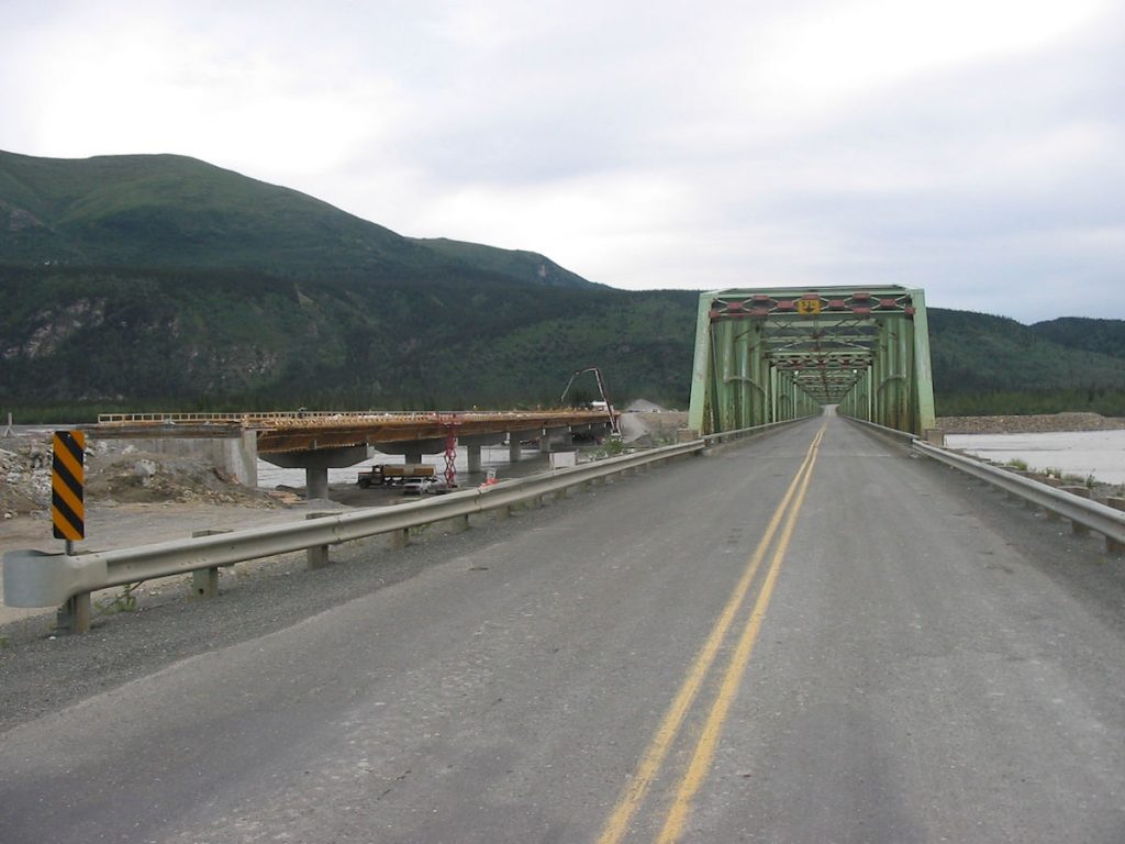
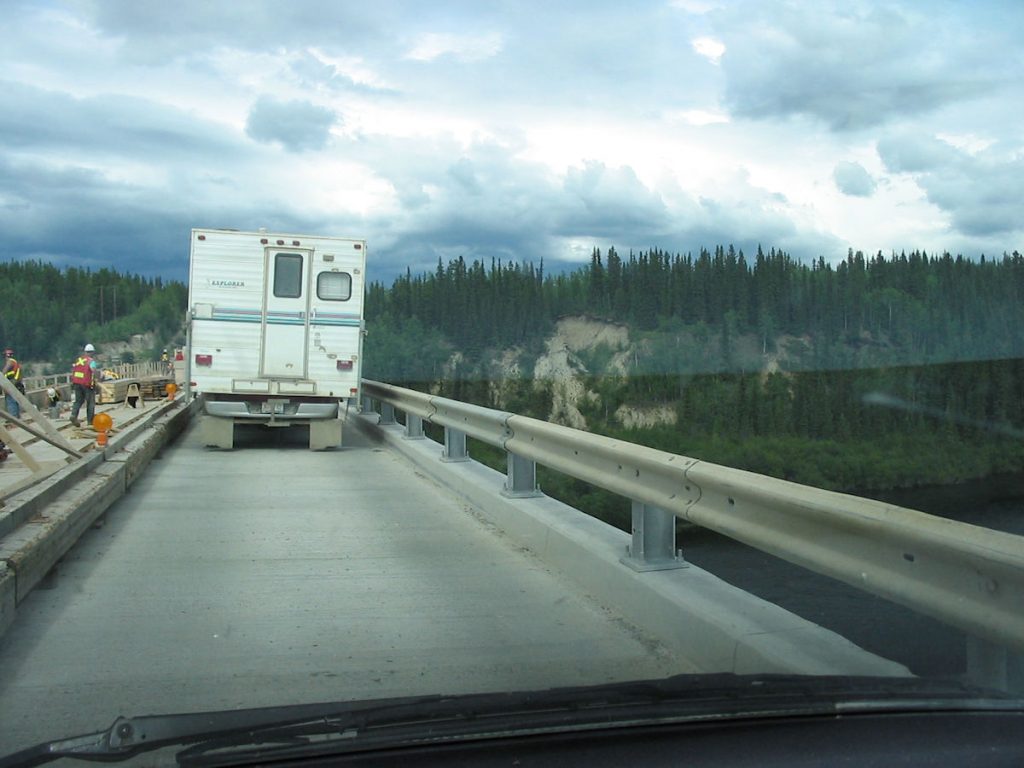
A new bridge being built alongside the old one.
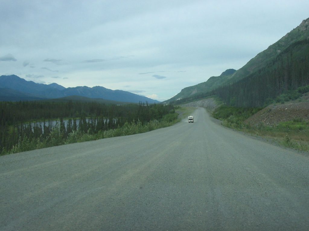
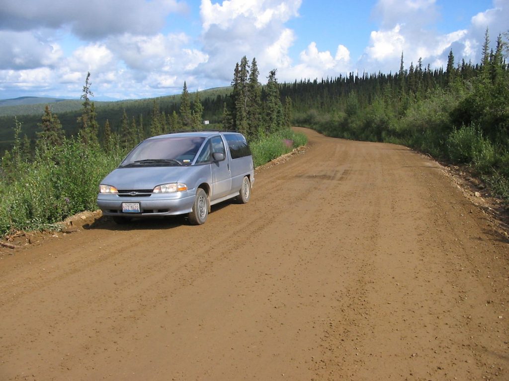
Our trusty old van is holding up well!
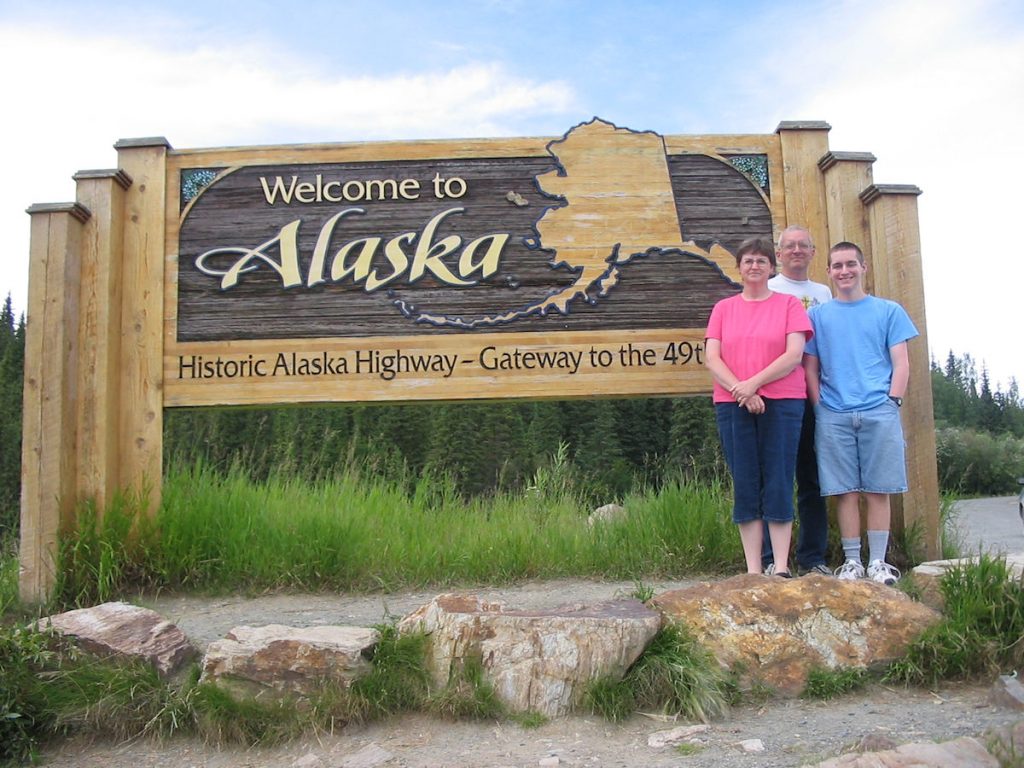
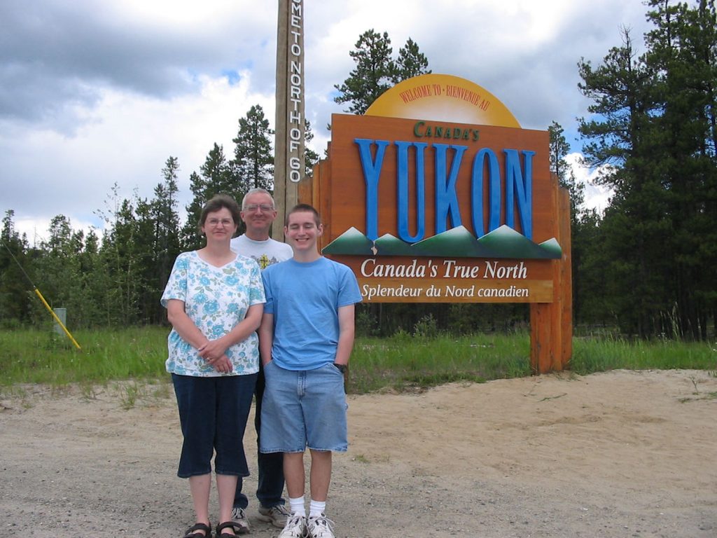
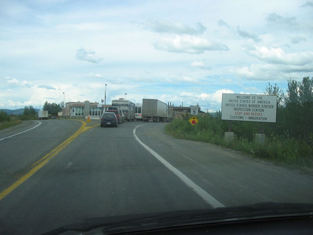
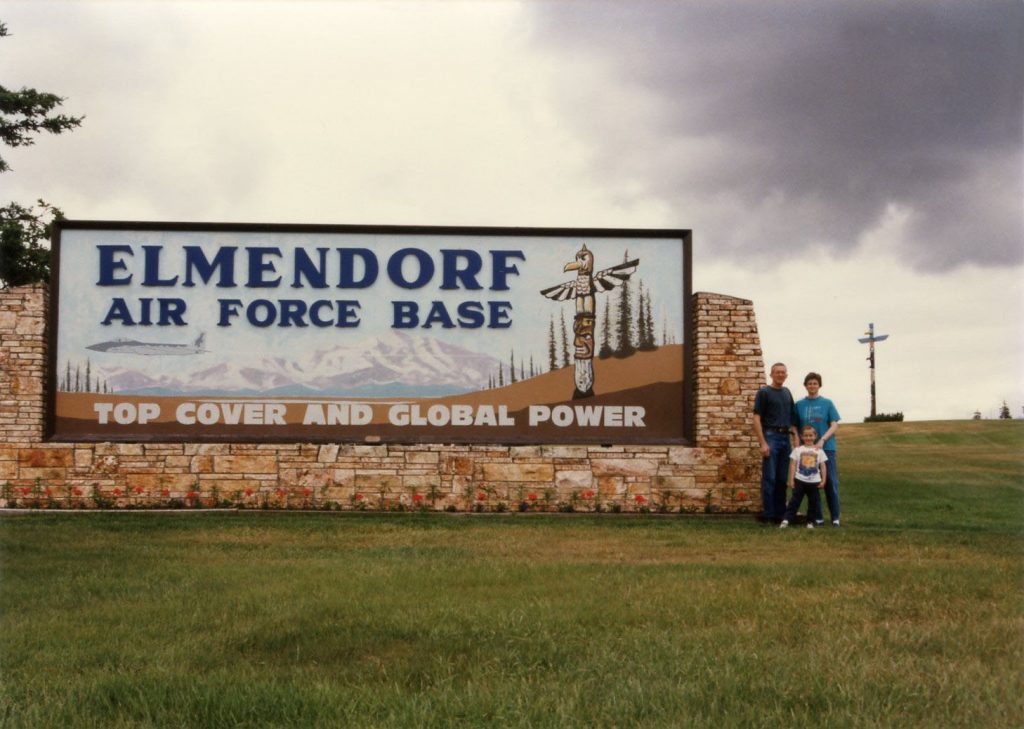
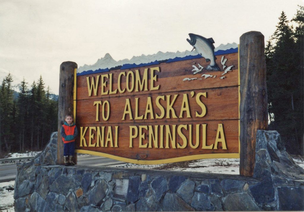
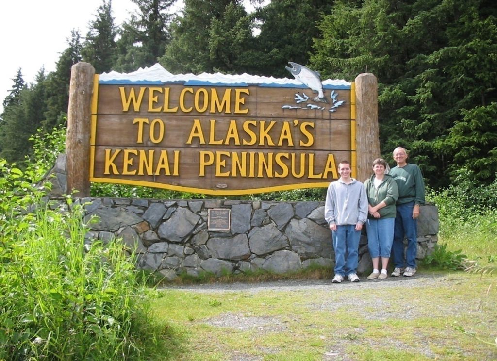
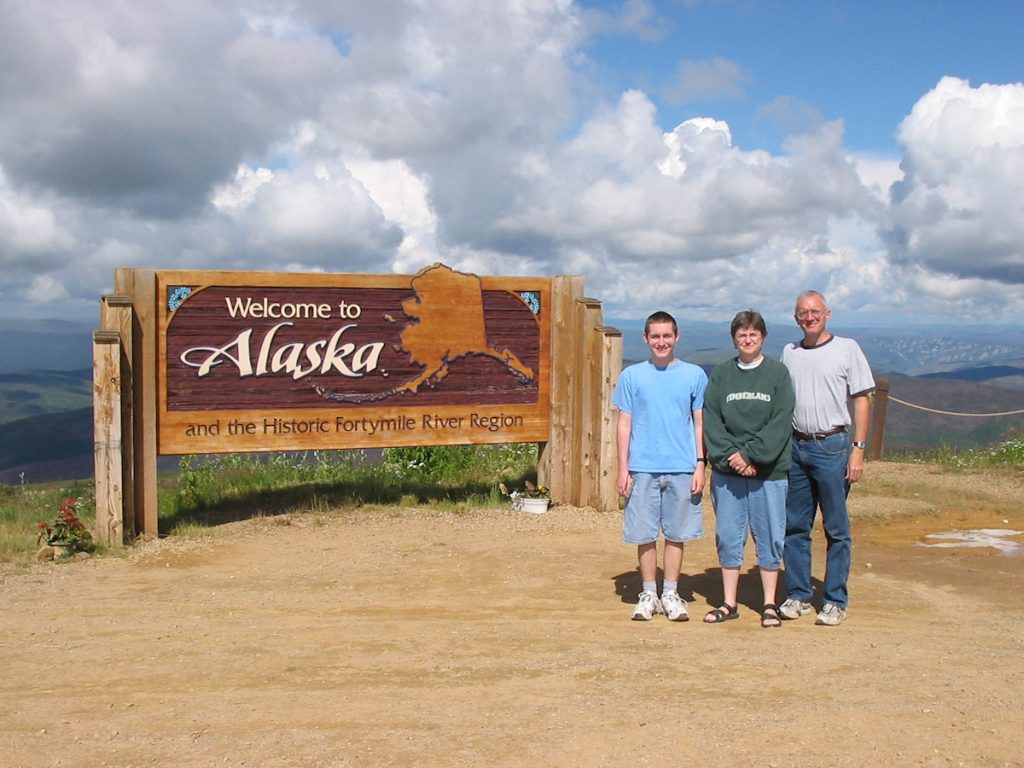
Welcome Back to Alaska!
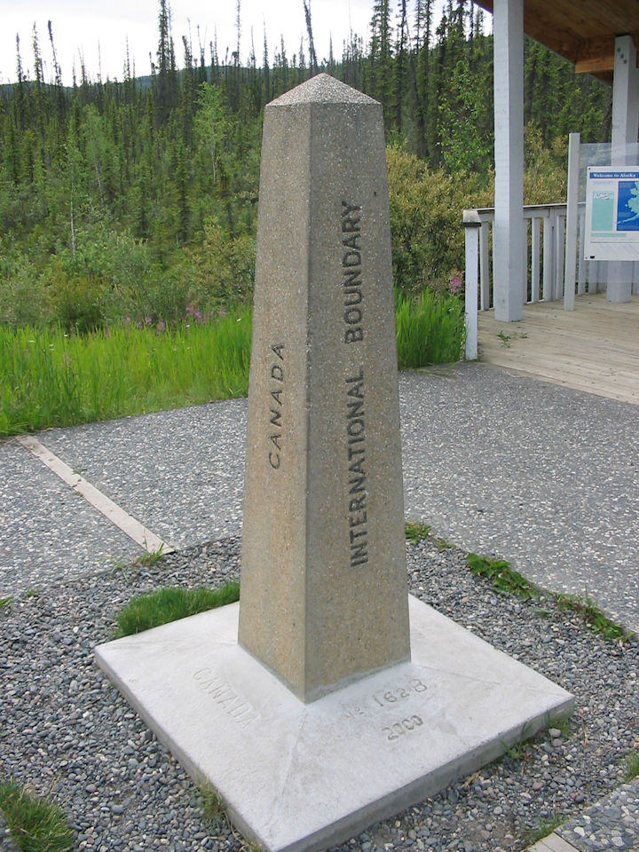
Canada is to the left, and Alaska is to the right, just over the line.
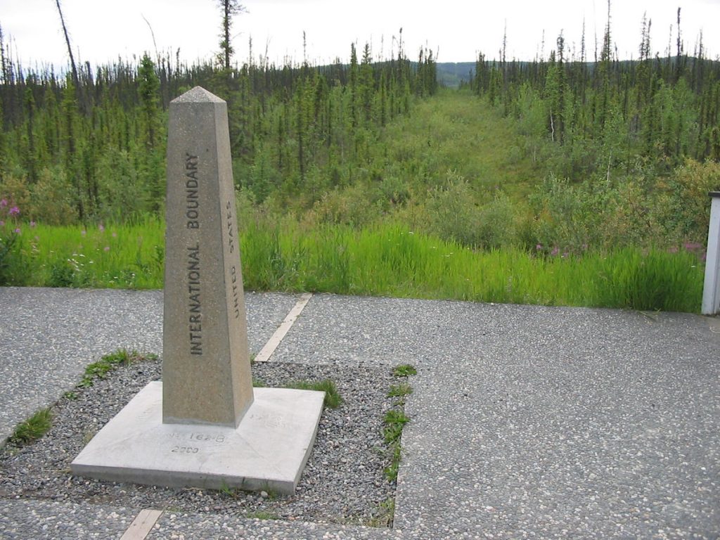
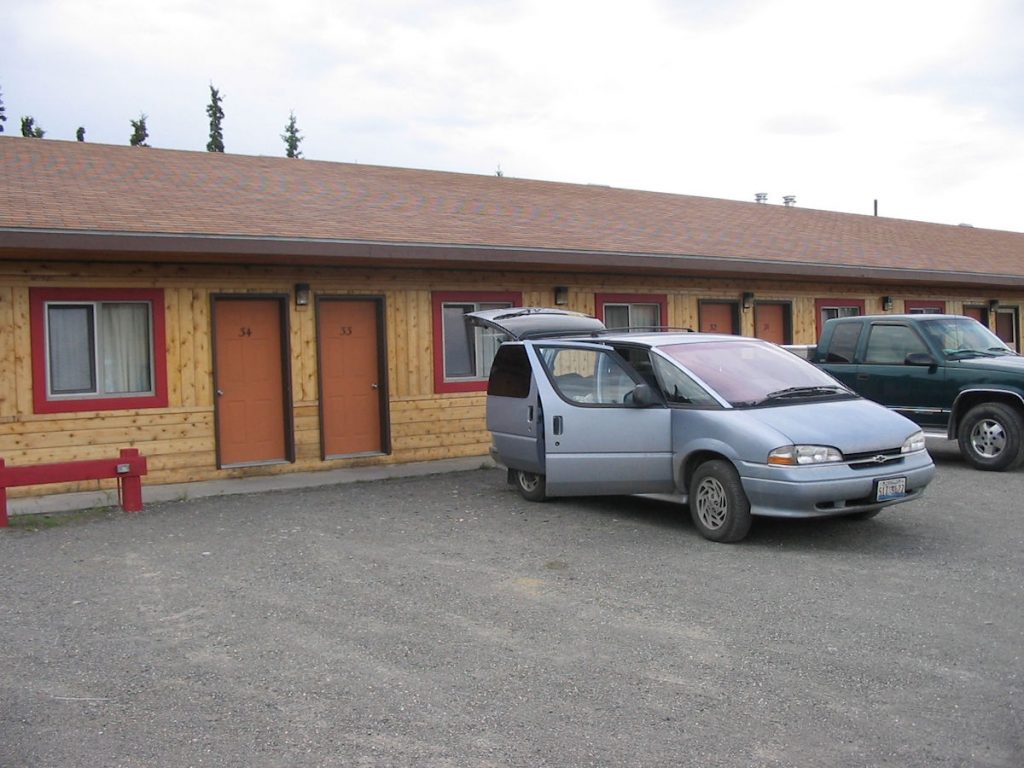
No fence. Just a million-gazillion mosquitoes guarding the homeland.
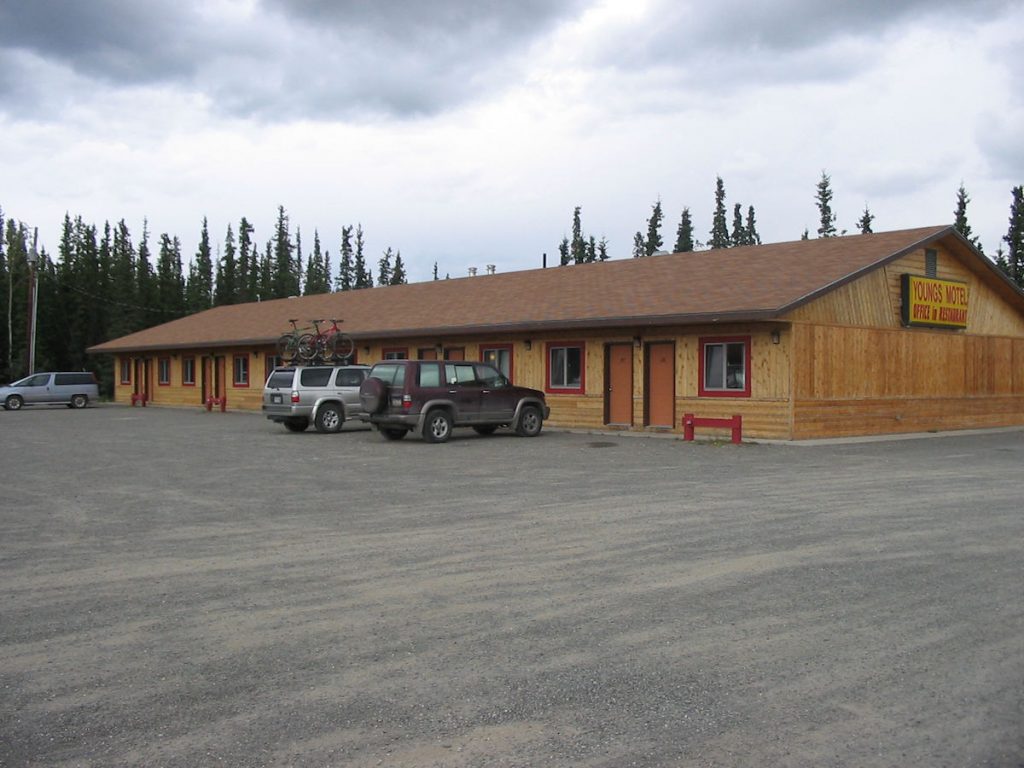
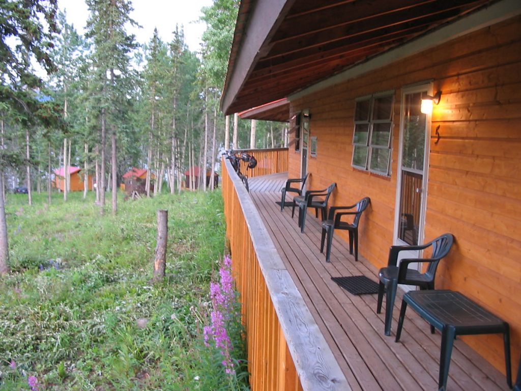
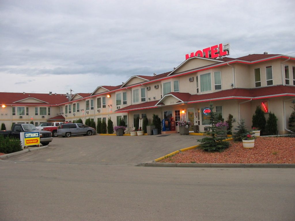
where we stayed at Young’s Motel. Really nice place, and a great restaurant next door.
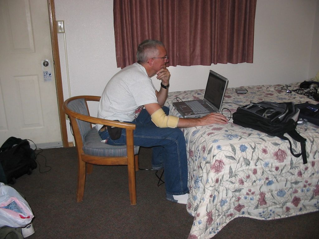
Slow connections were the norm.
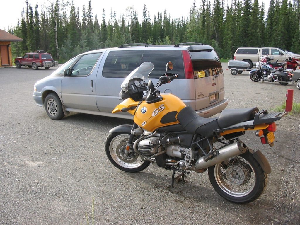
I guess the bike wouldn’t be bad either.
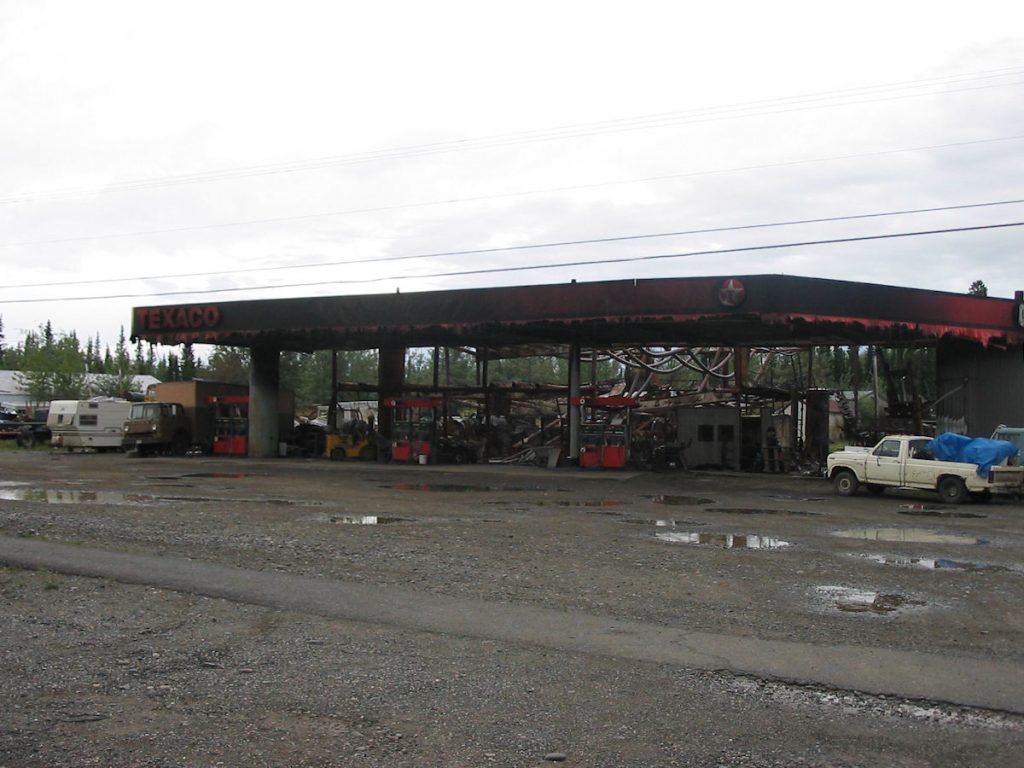
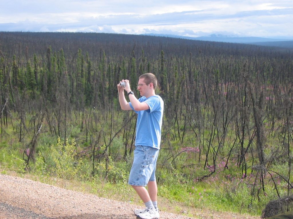
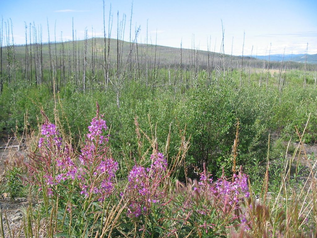
Big fire here a few weeks ago. Yikes!
Day 10: Tuesday July 10th
Tok, Alaska to Anchorage, Alaska
Today 330 miles: Trip total 4,564 miles
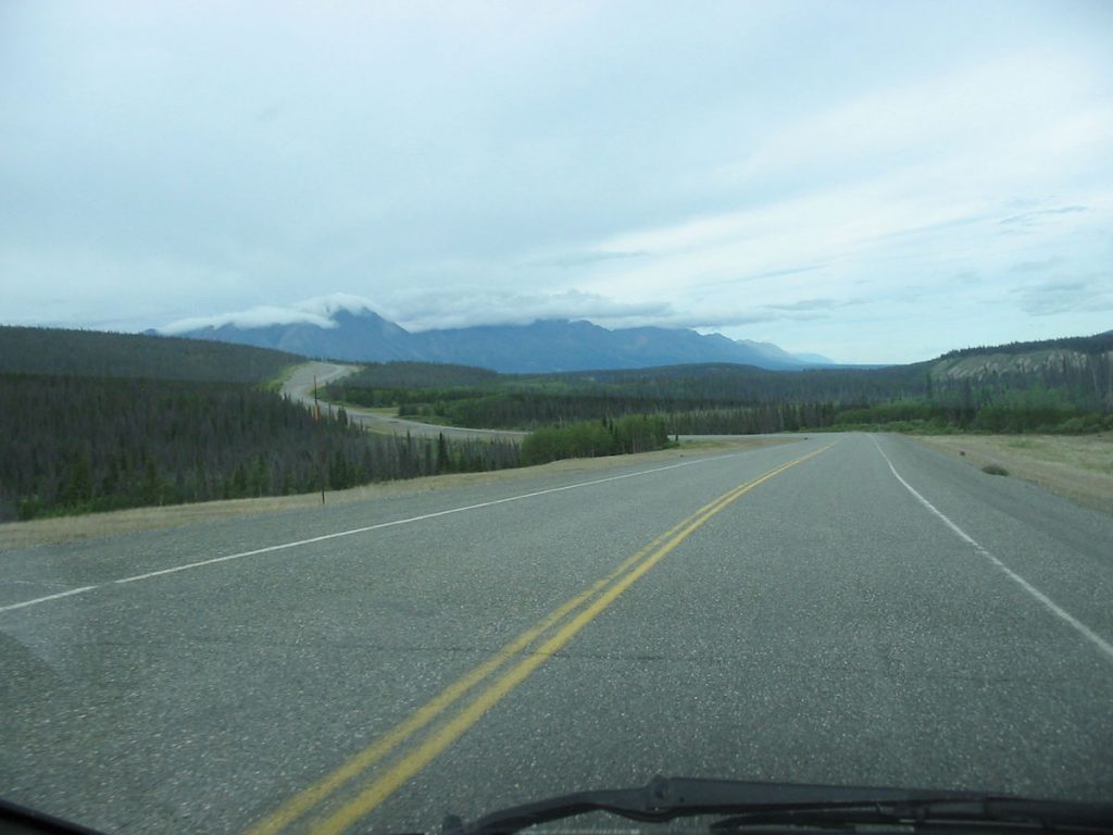
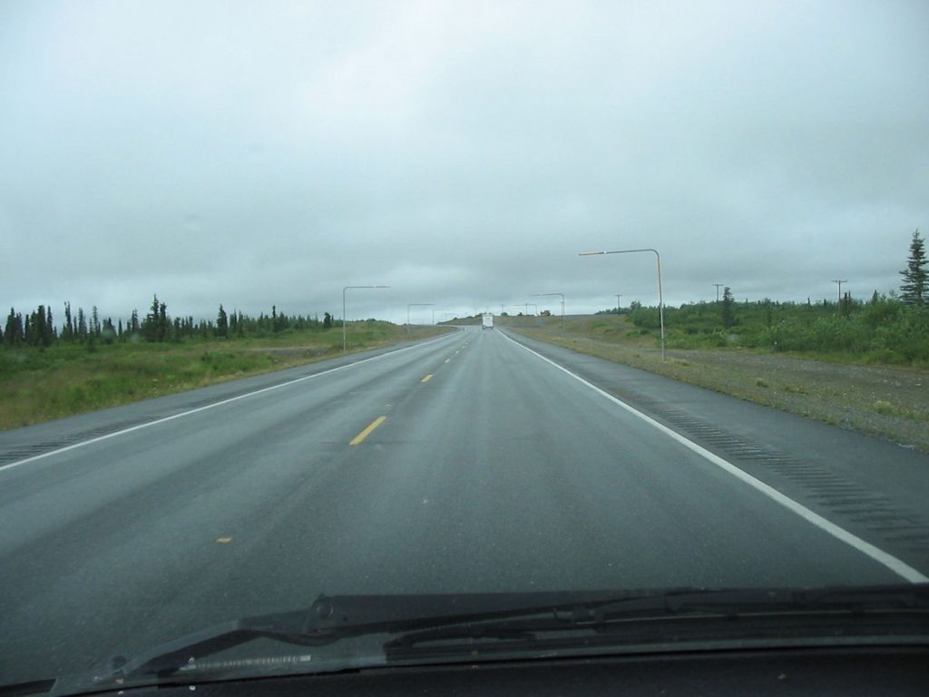
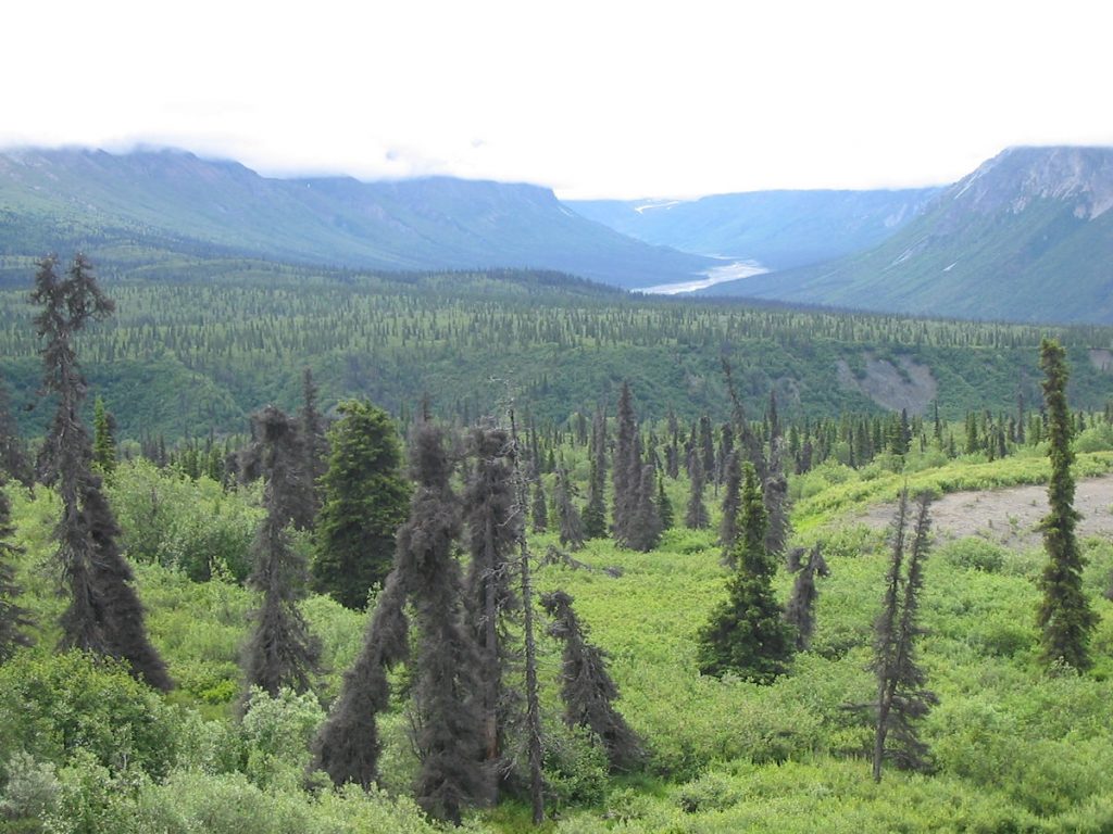
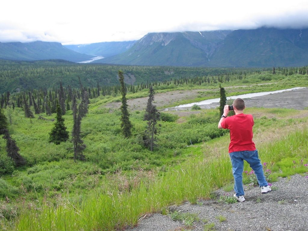
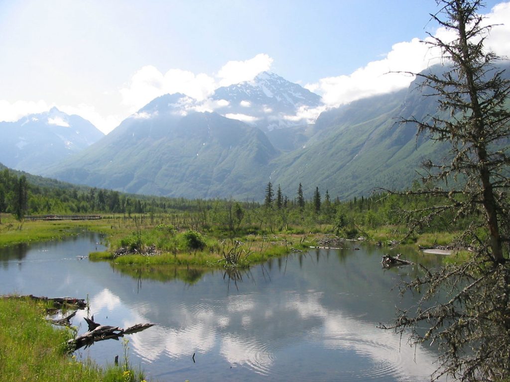
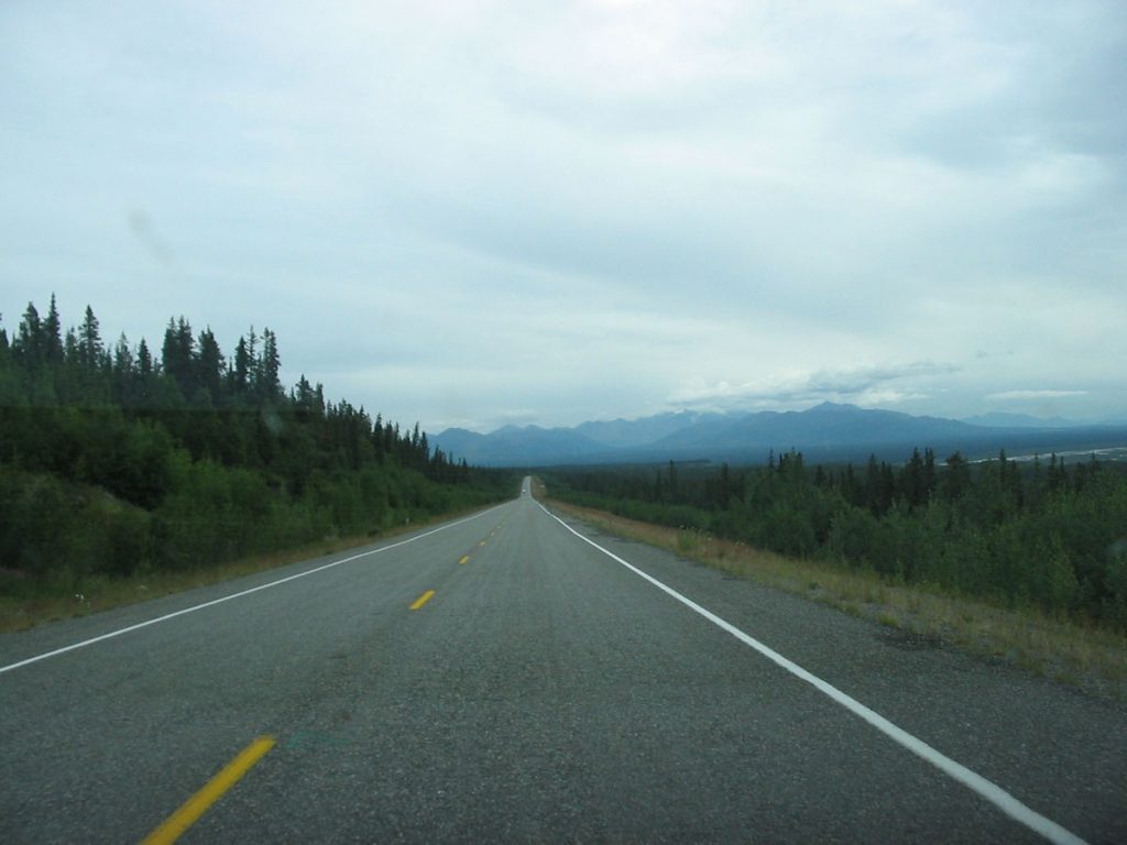
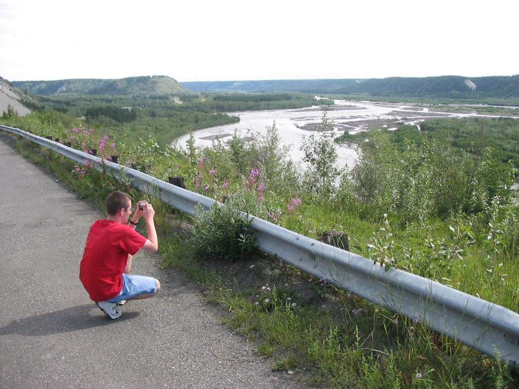
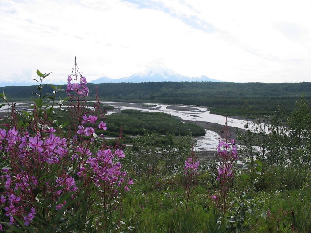
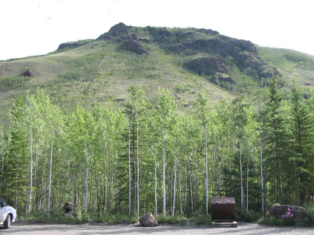
We saw our first steady rain of the trip. Clouds obscured the high mountains.
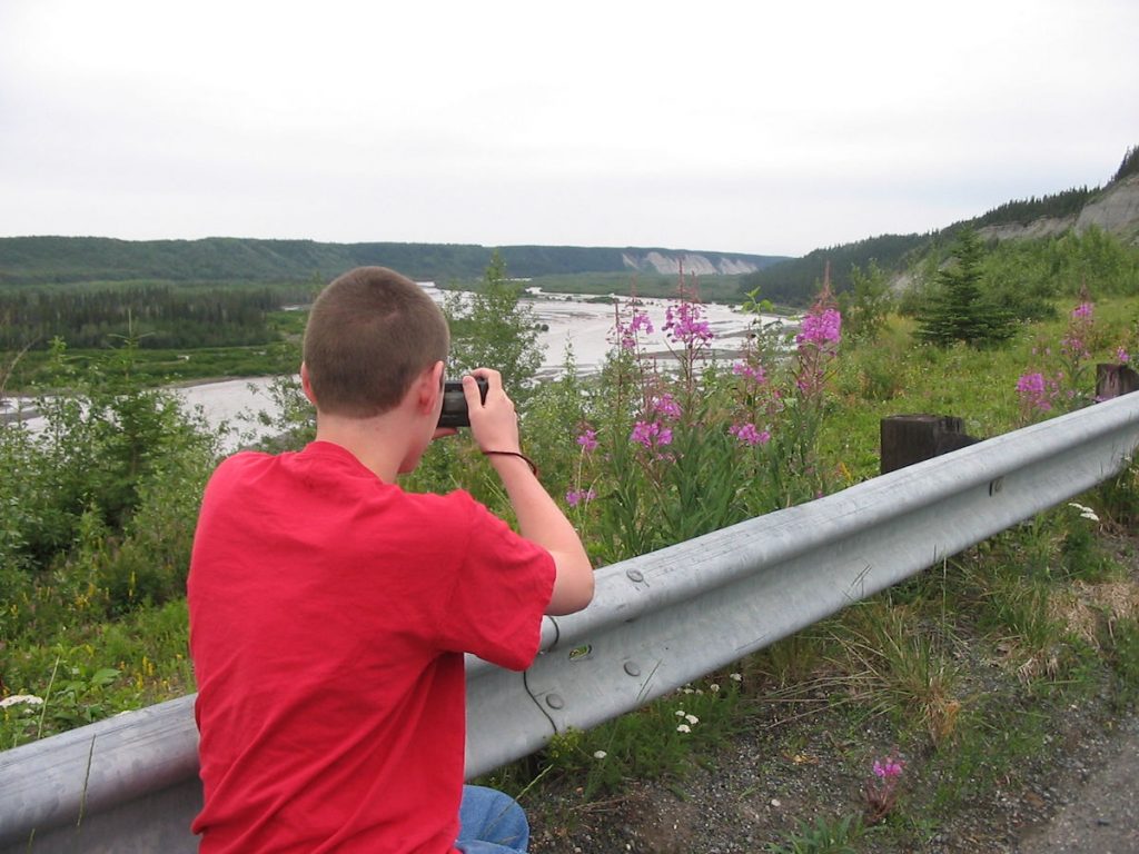
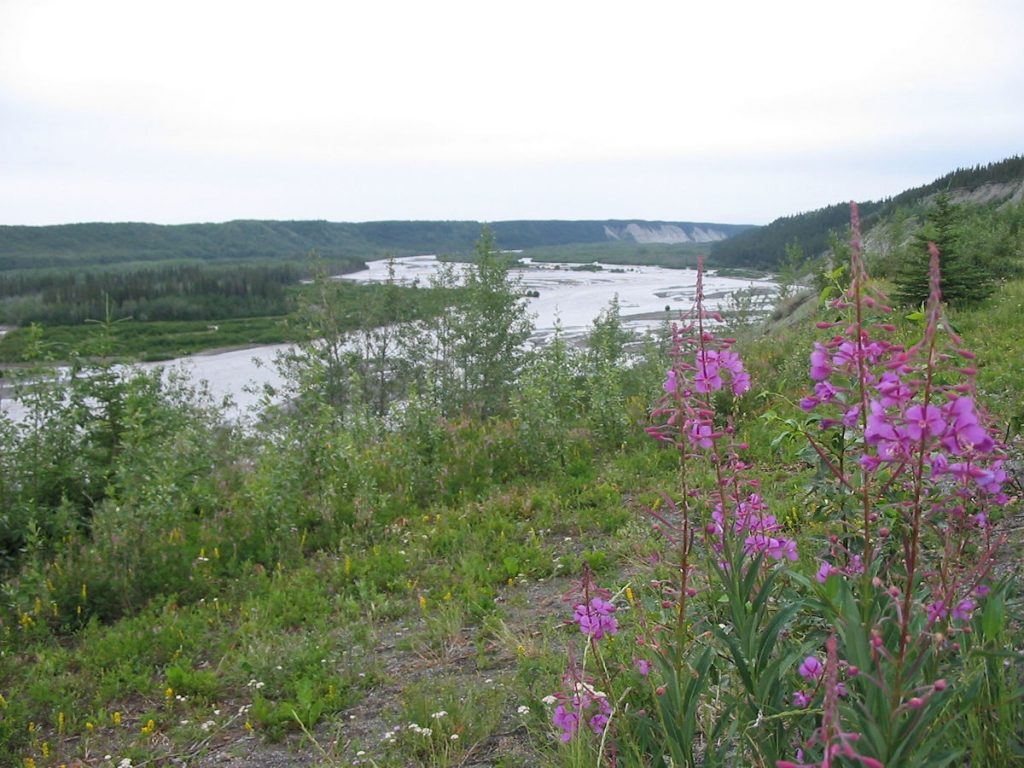
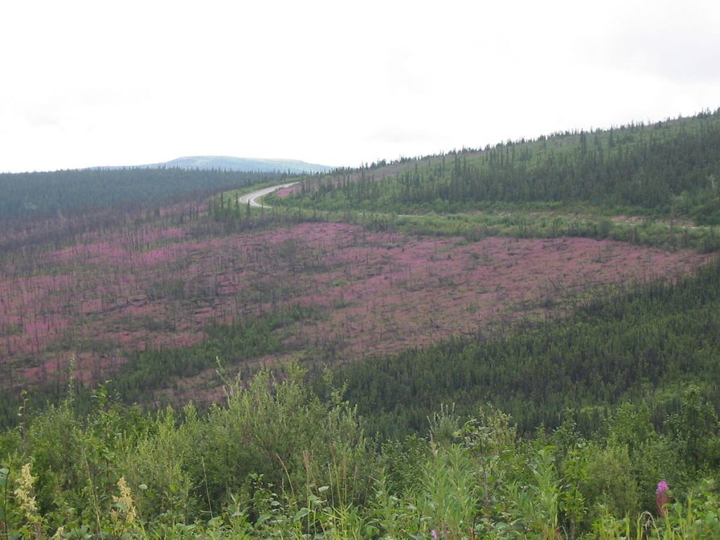
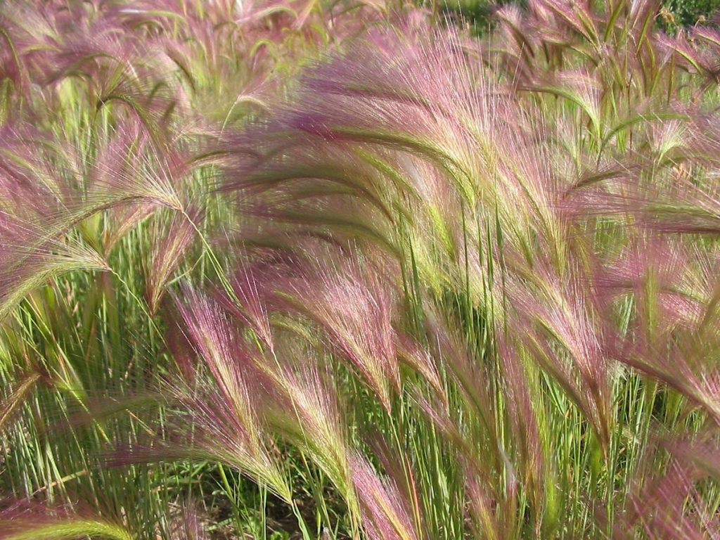
It is one of the first plants to grow after a forest fire.
We’ll see more of this on our return trip through Dawson City, Yukon.
They are guides for the snowplows when the snow is so deep the road is hidden.
Apparently, this truck driver had some company at a roadside bathroom stop.
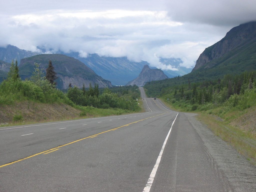
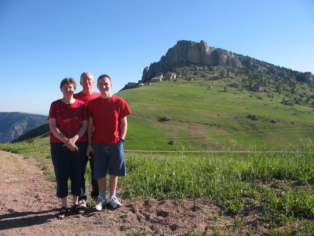
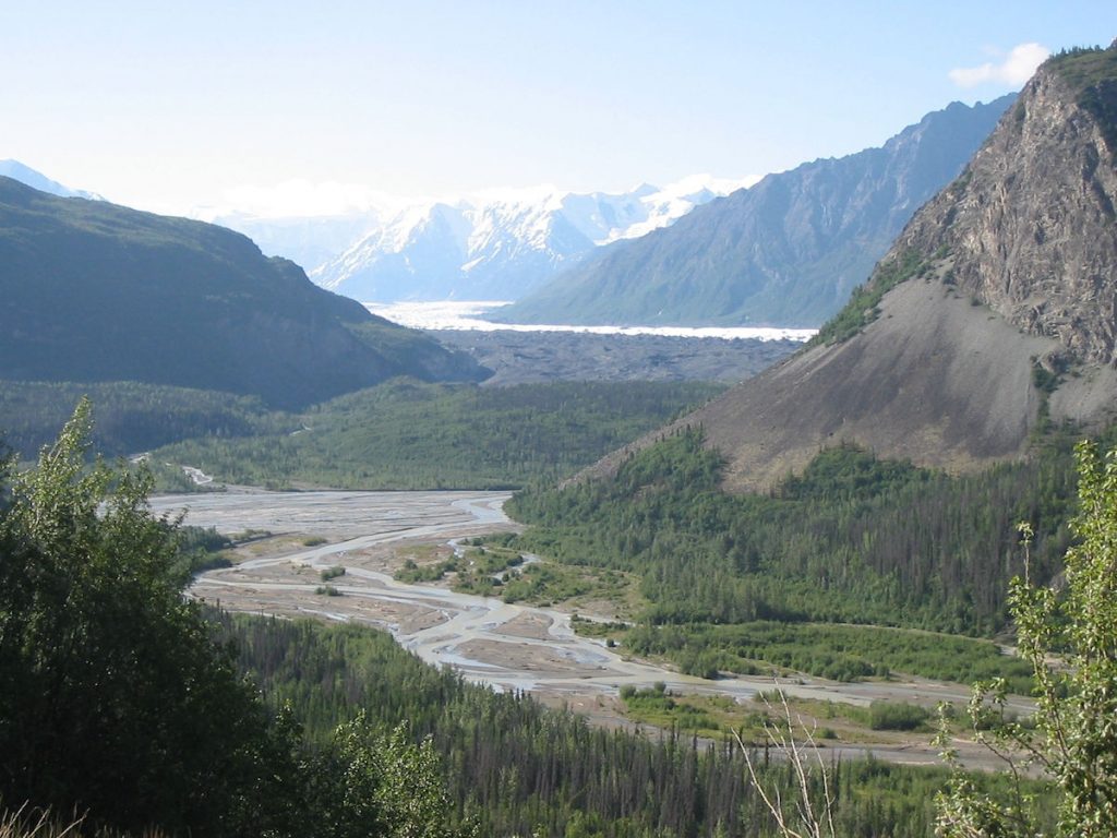
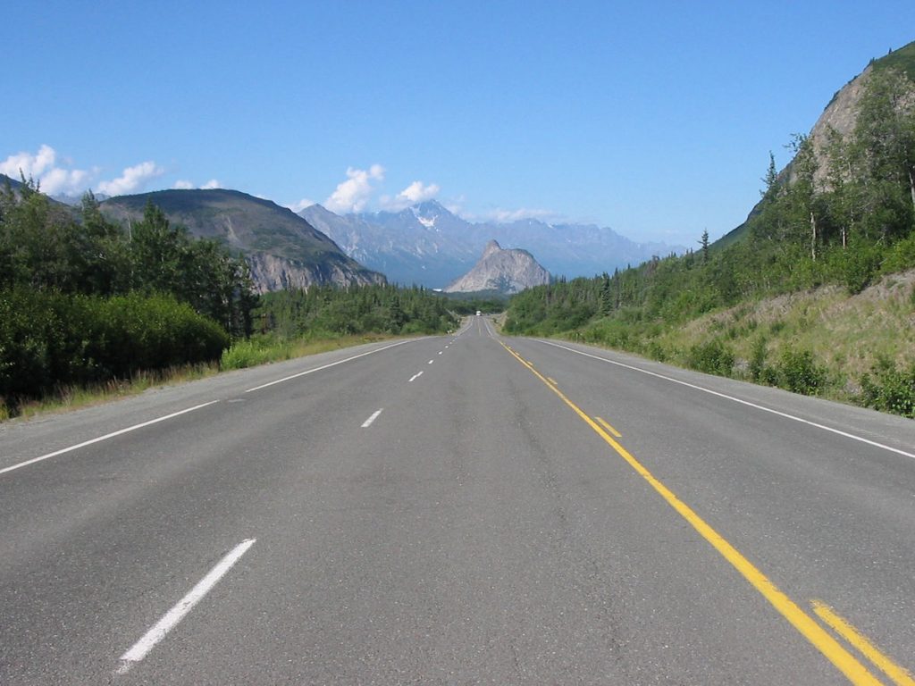
dome, the oddly shaped rock just ahead and slightly to the right.
I got a better picture on our way home, which you will see later.
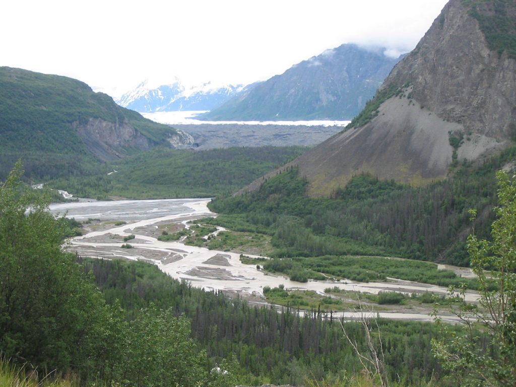
18,000 years ago, this glacier extended to Palmer, about 60 miles downstream.
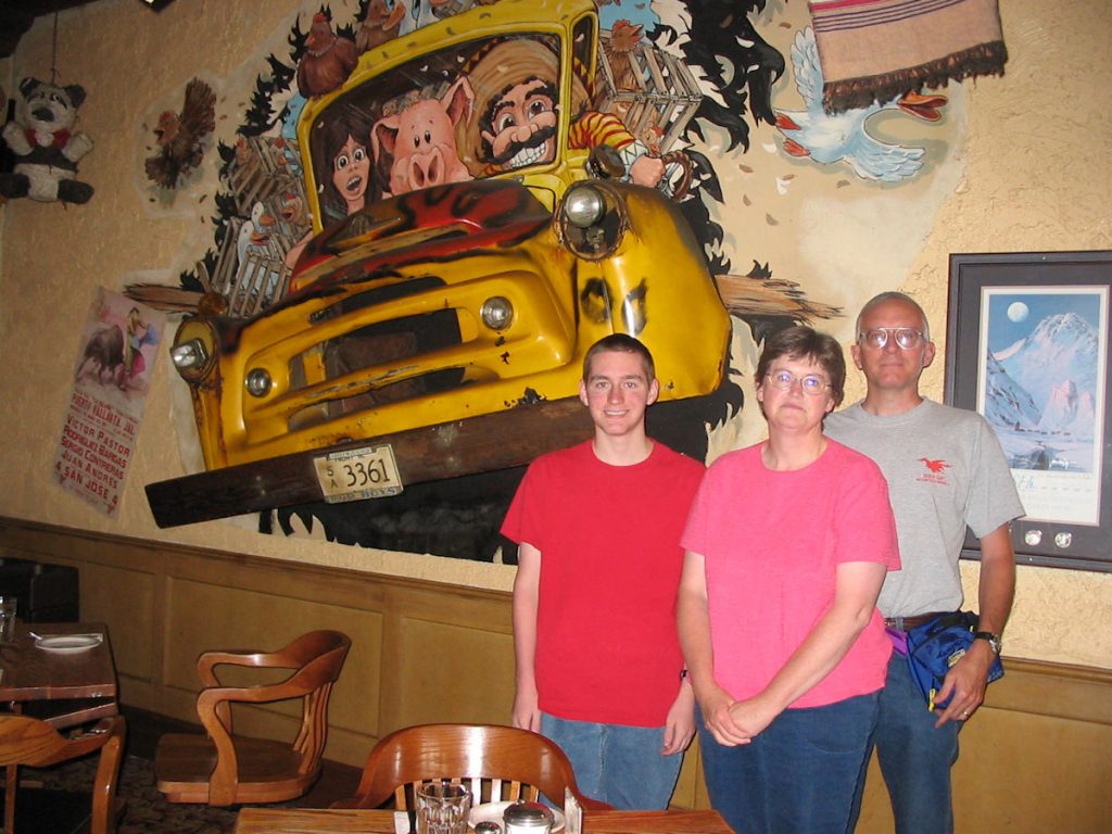
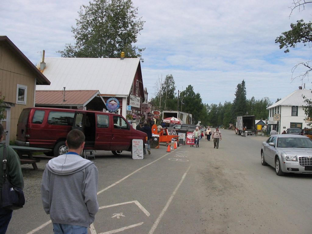
Spencer remembered the school bus on the wall and wanted to come here.
Great food!
(See next photo below for flashback to 1995)
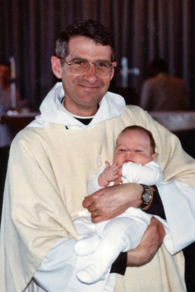
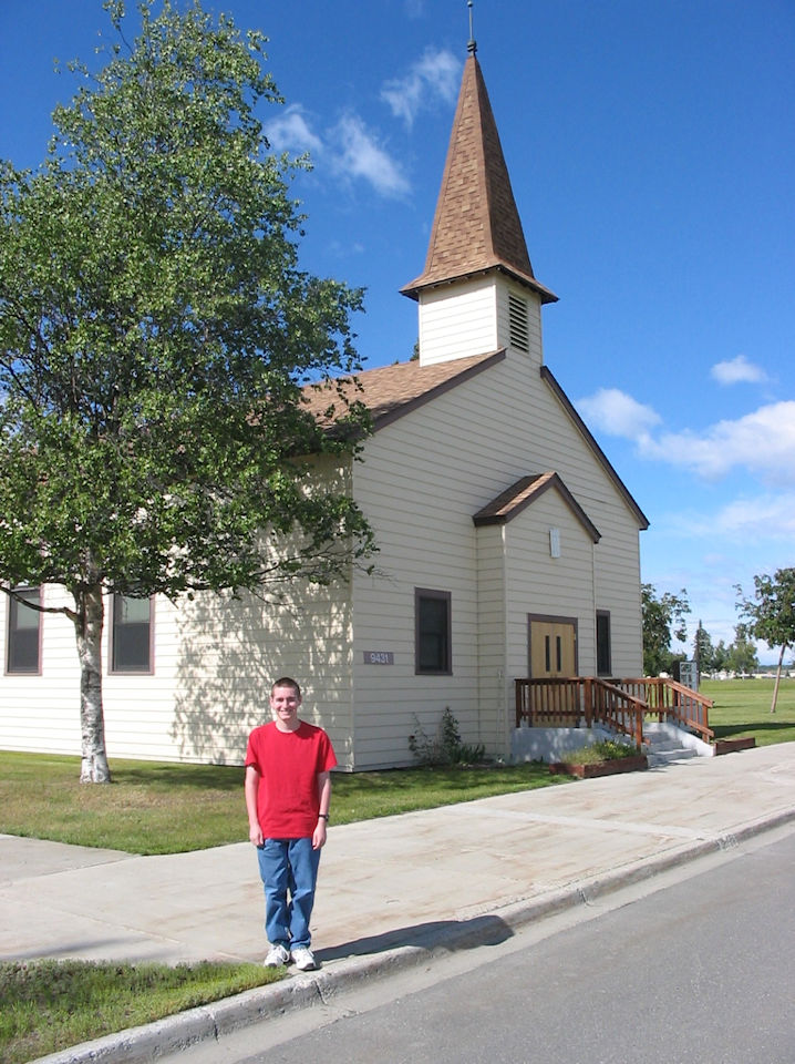
This is the church on base where Spencer was baptized in 1990. (Left – with Chaplain Andrews / Right – 2007)
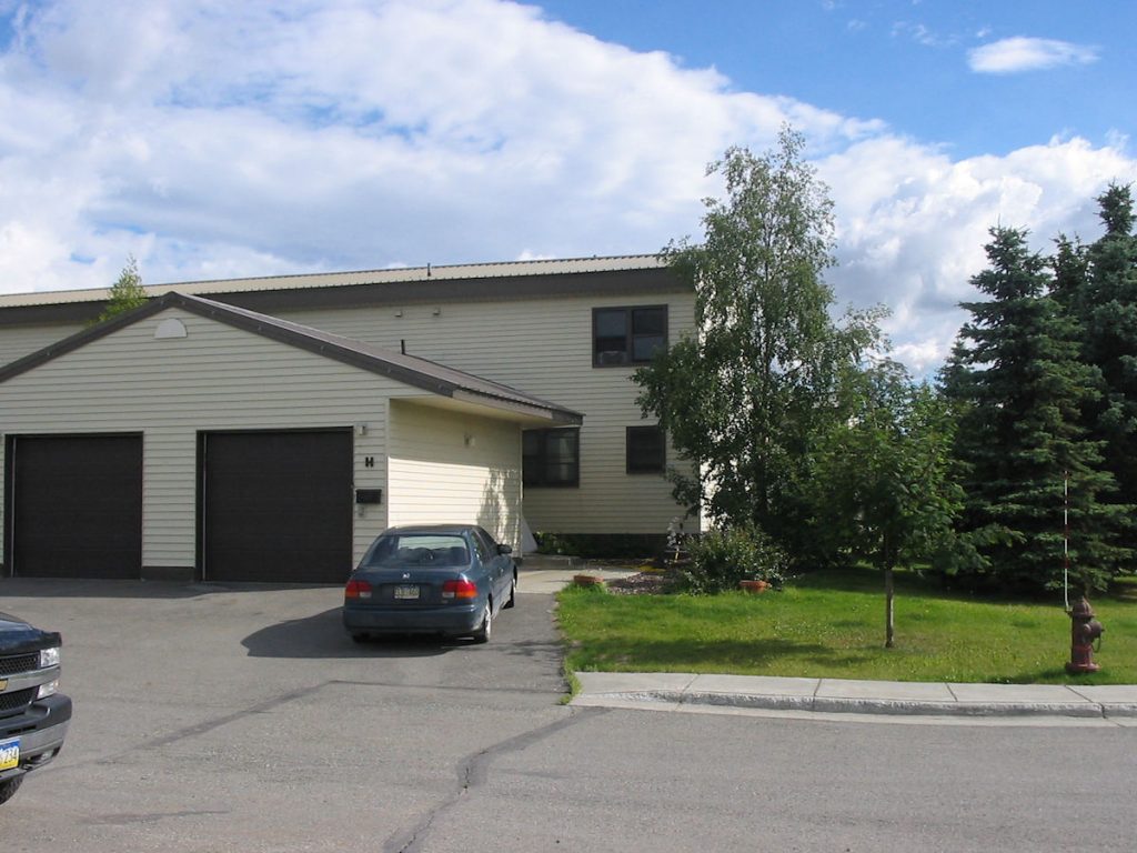
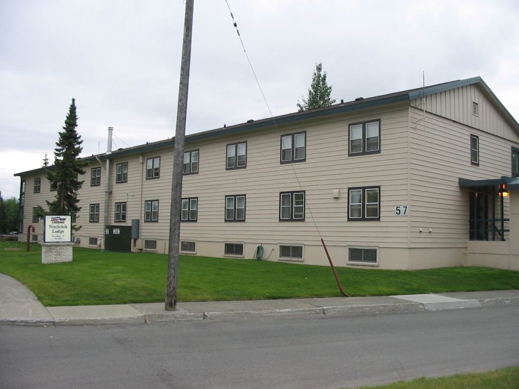
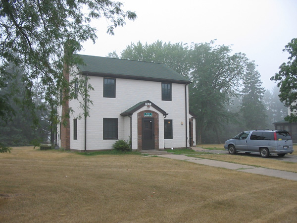
after they started renovating our first home just down the street.
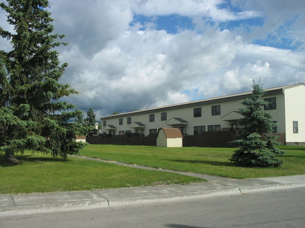
We lived in the 3rd apartment from 1989-1995. This was Spencer’s first home.
(See next photos)
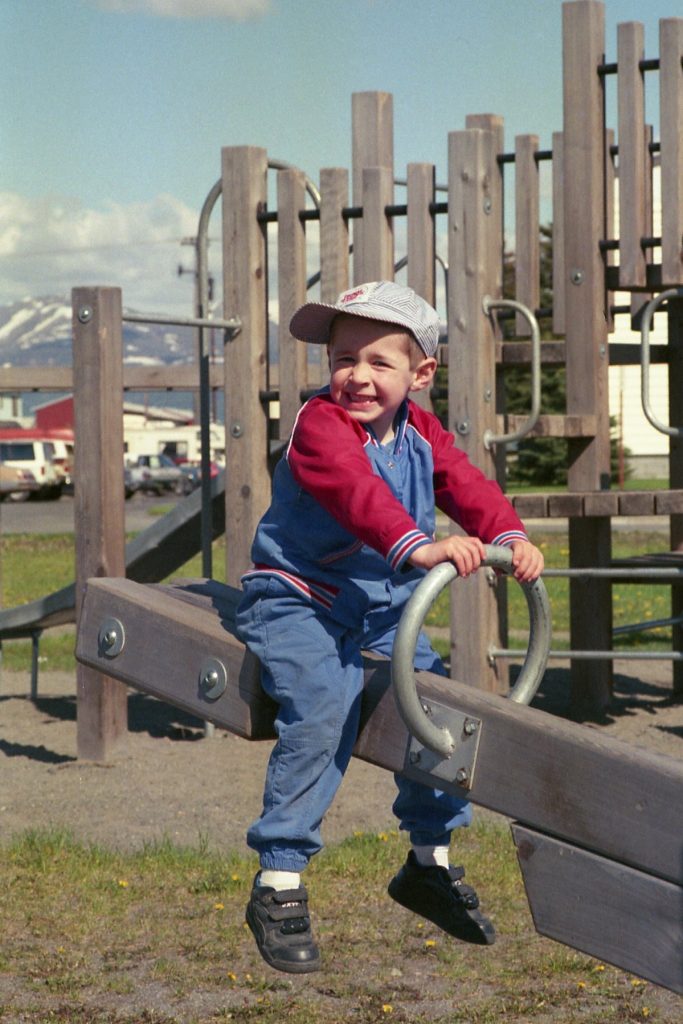
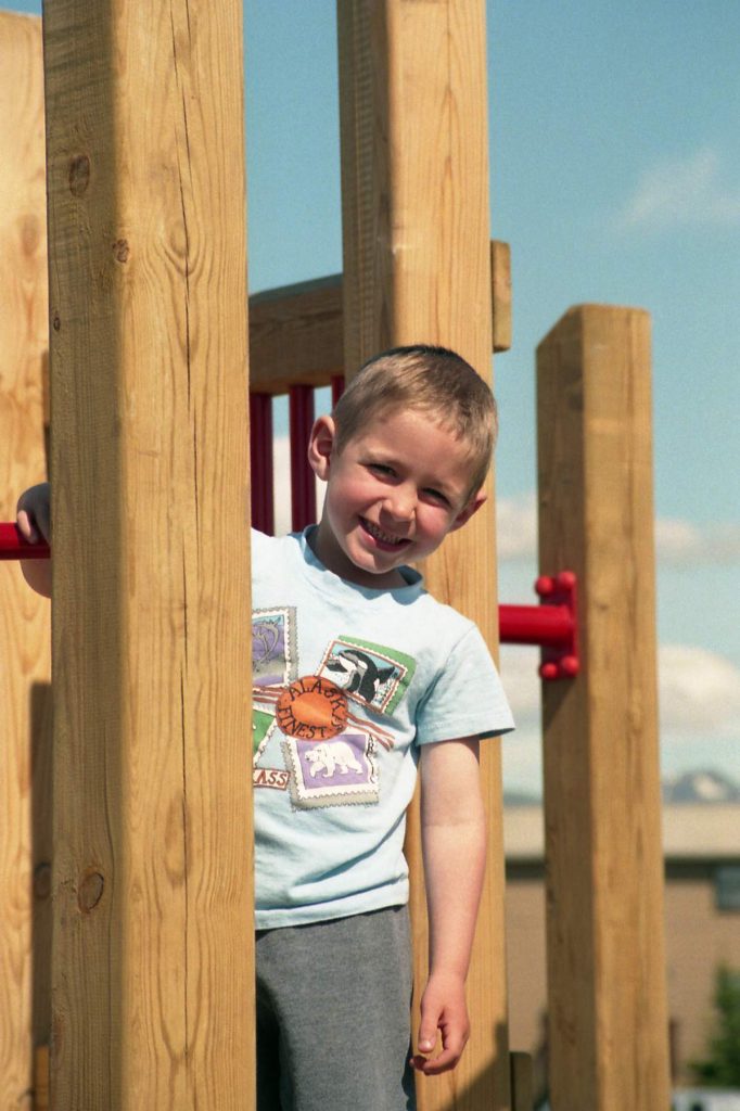
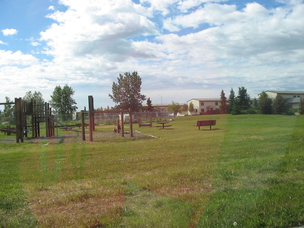
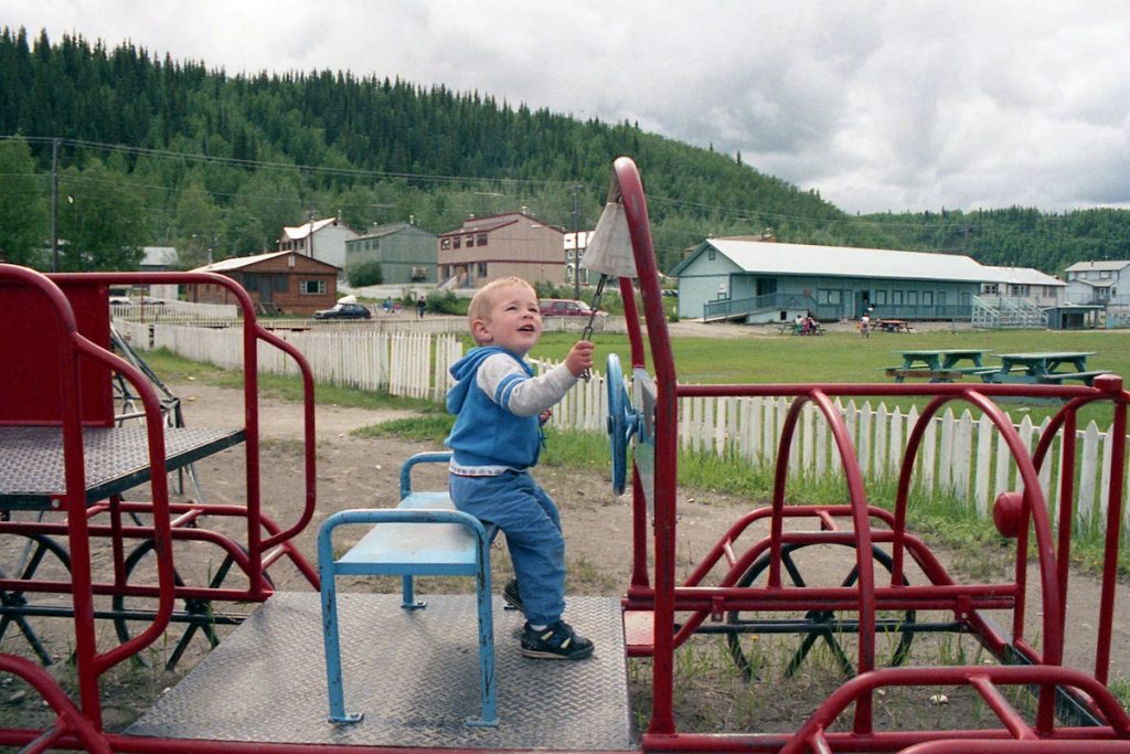
Flashback to 1995 in the park with Spencer.
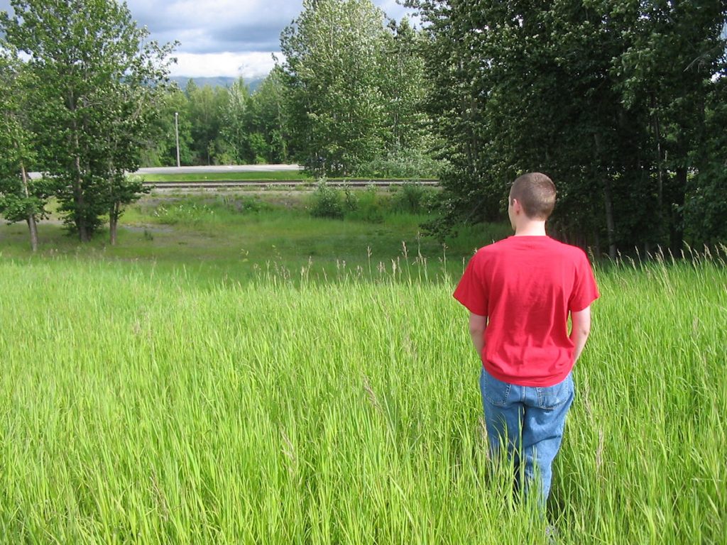
We used to come here a lot when he was young.
He said it doesn’t look as big as he remembered.
(See next photo below)
Days 11 – 16
Anchorage and surrounding areas.
800 more miles of driving – Trip total 5,364 miles
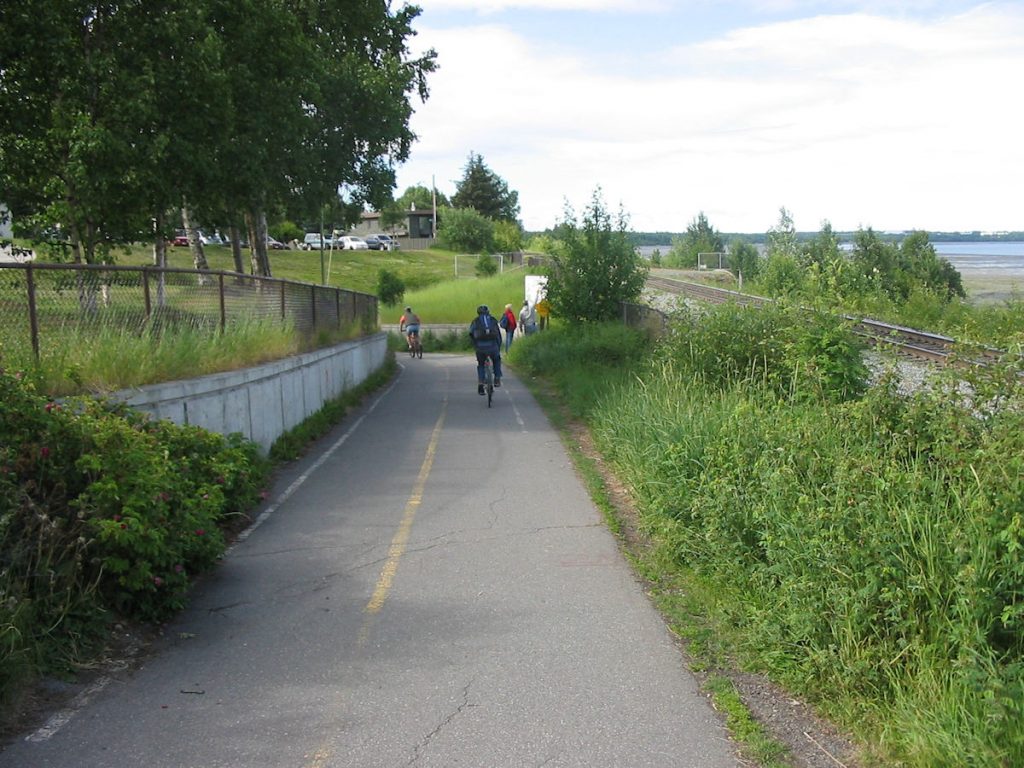
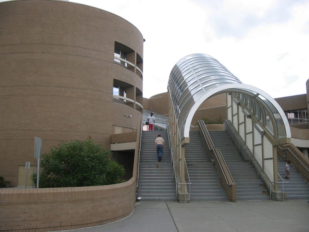
a series of bike/walking paths that criss-cross the city.
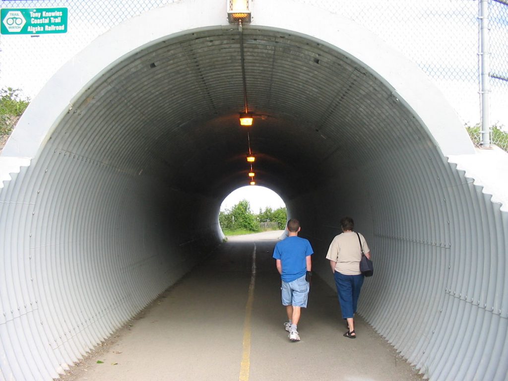
the tunnels with their echoes.
Then and now – (Left – 1991 / Right – 2007)
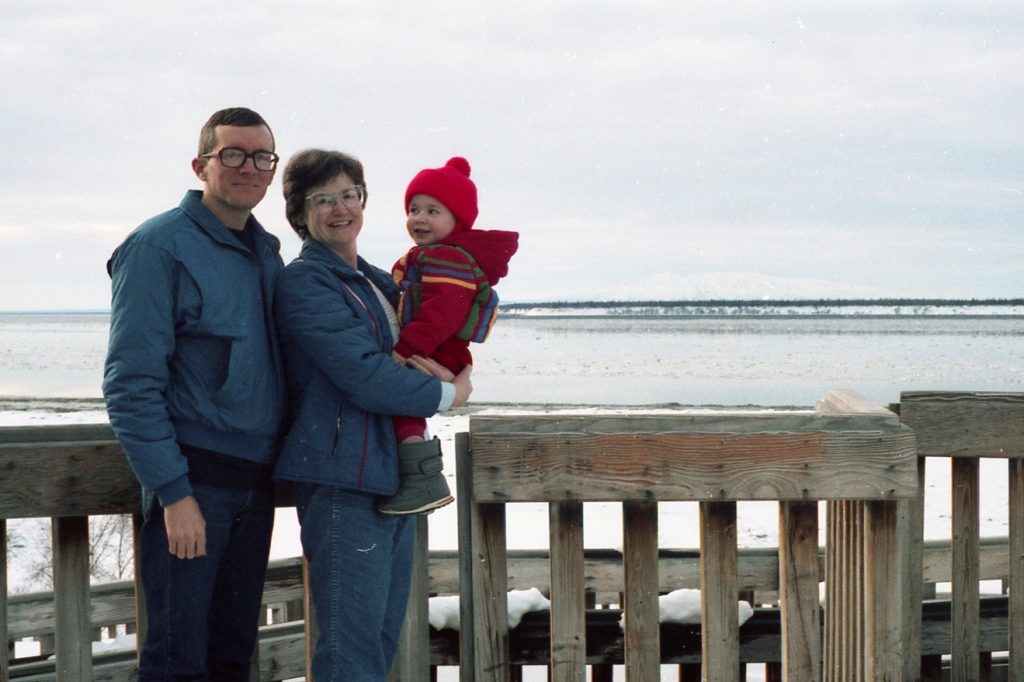
Looking out over the water at Sleeping Lady from Anchorage.
Sleeping Lady is a low mountain (just over my left shoulder)
that legend says is a sleeping princess waiting for her warrior to come home.
(Left – circa 1994 / Right – 2007)
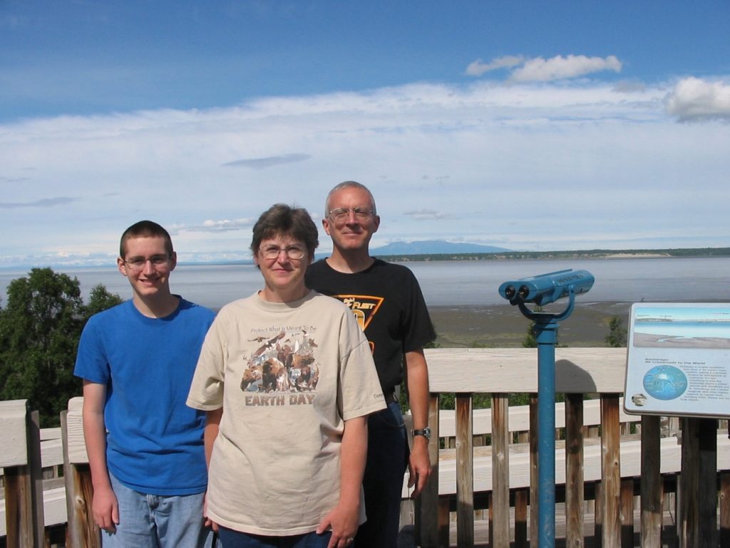
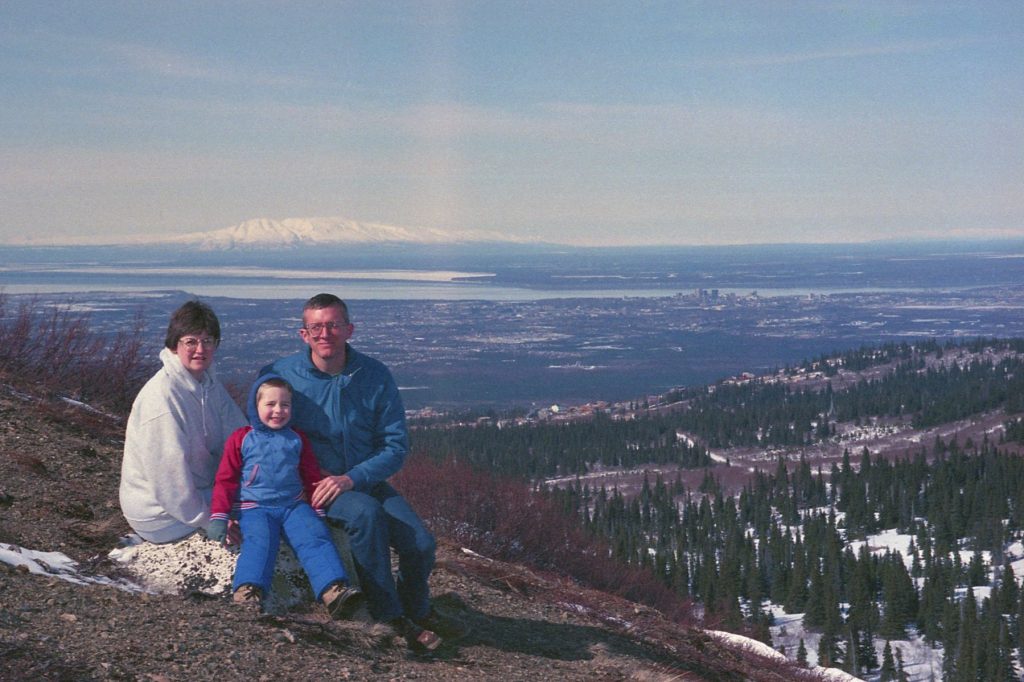
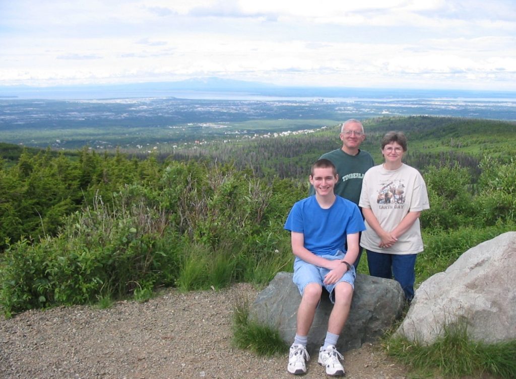
Later, we stopped at Subway and took a picnic lunch up to Flattop overlook above Anchorage.
The city is visible to the left, and Sleeping Lady mountain is visible behind that.
This was one of our favorite places to hike and picnic when we lived here.
so we decided to visit and see our old friends.
It’s supposed to be very warm.
(See next photo for flashback)
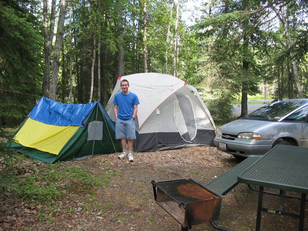
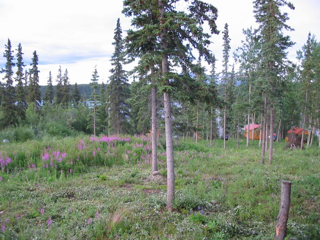
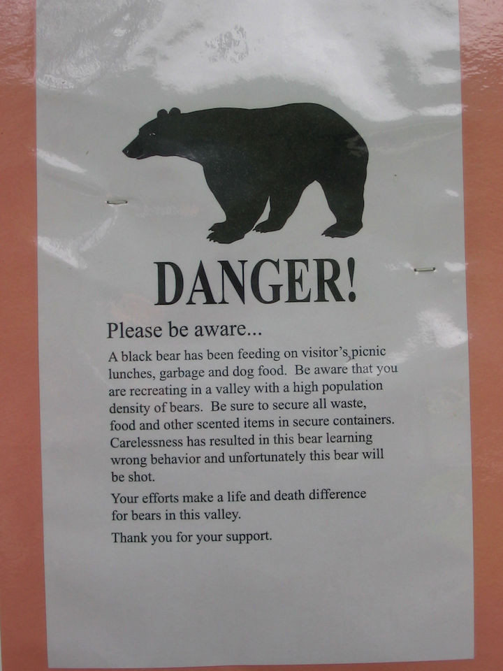
We picked a nice, quiet remote spot at the edge of the woods.

Spencer said, “Yeah, right!”
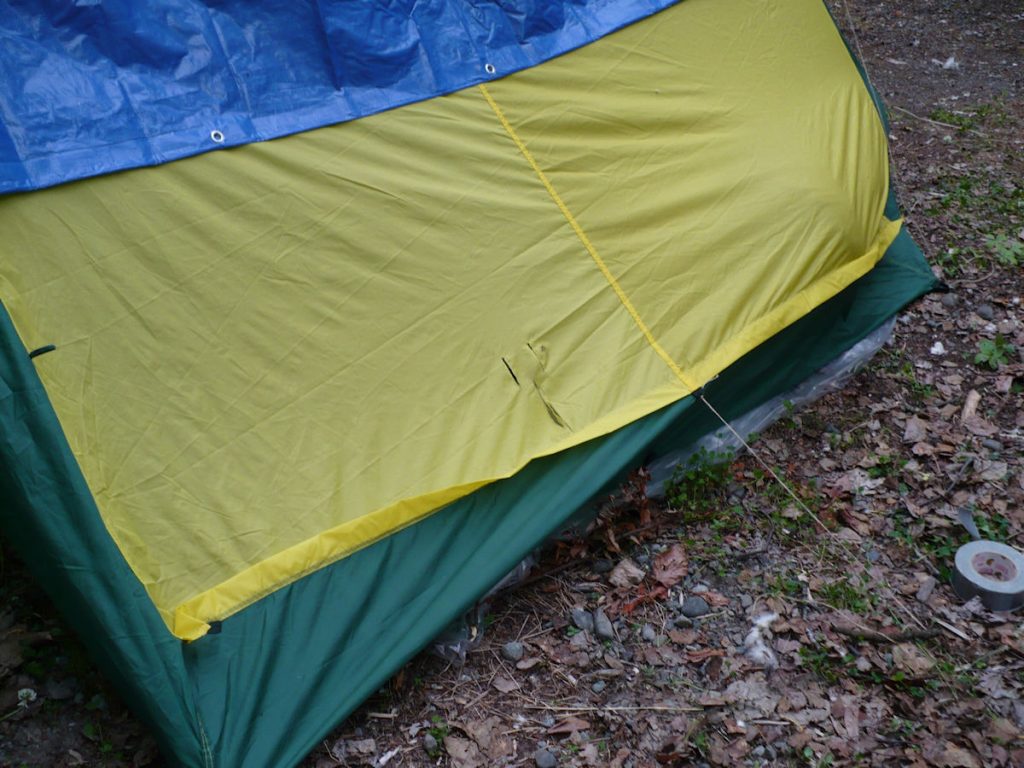
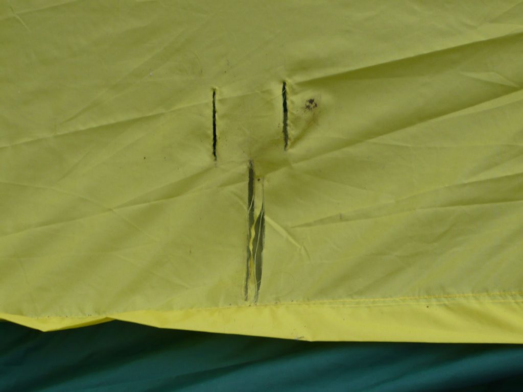
Spencer’s tent had claw marks on the top.
His reply – “I didn’t hear a thing.”
By the way, Beth said we would be sleeping in rooms from now on.
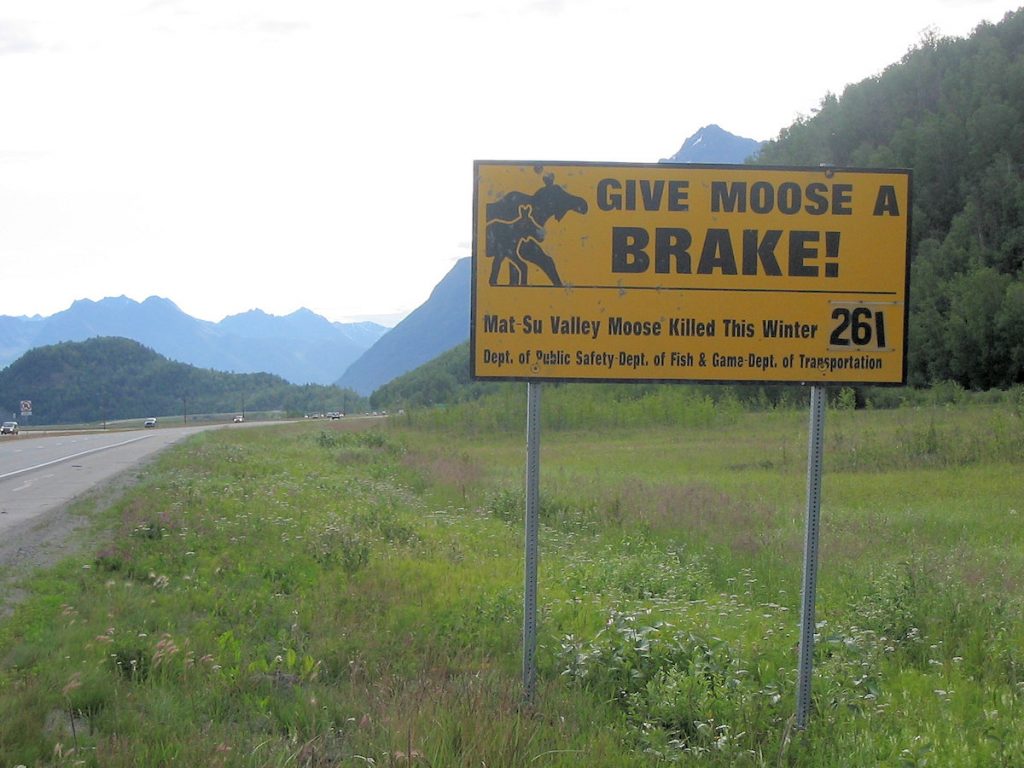
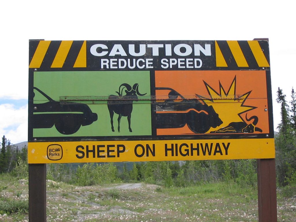
This sign just outside Anchorage tells how many moose
have been killed on the highway this year. (261 so far)
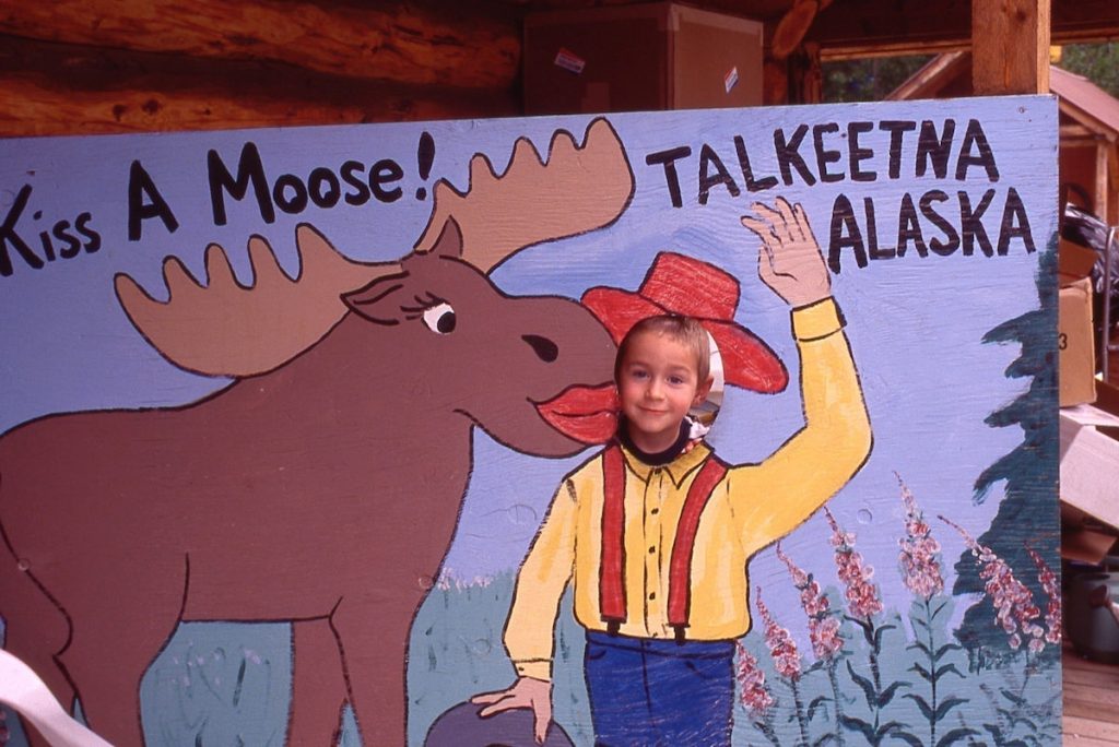
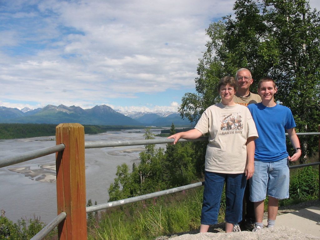
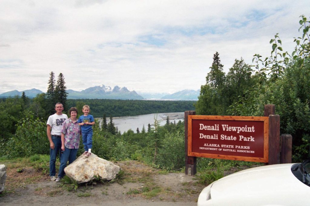
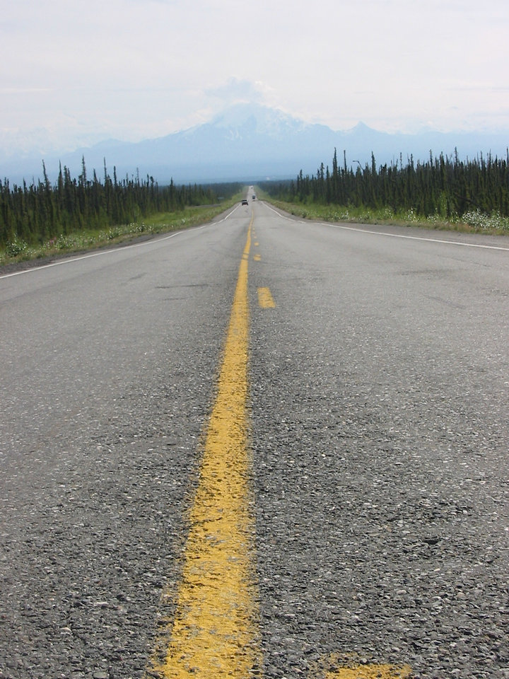
This is the popular starting point for climbers heading for Denali (Mt McKinley).
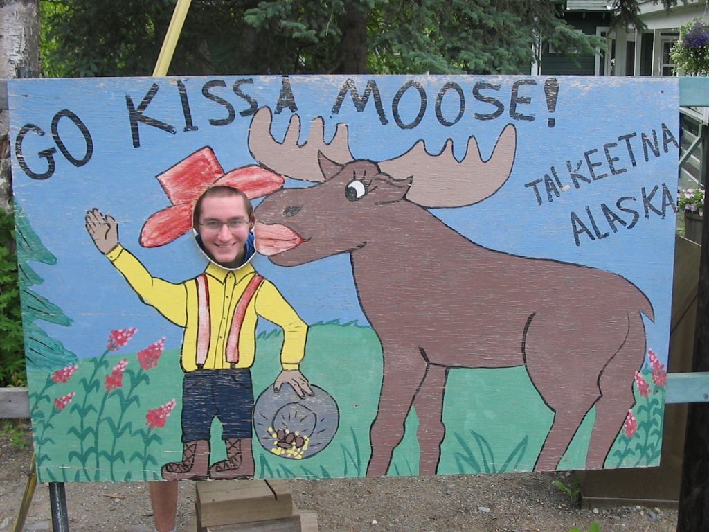
(It’s not his first time – see next photo)
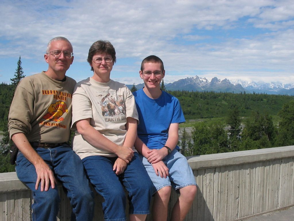
However, clouds obscured the highest peaks.
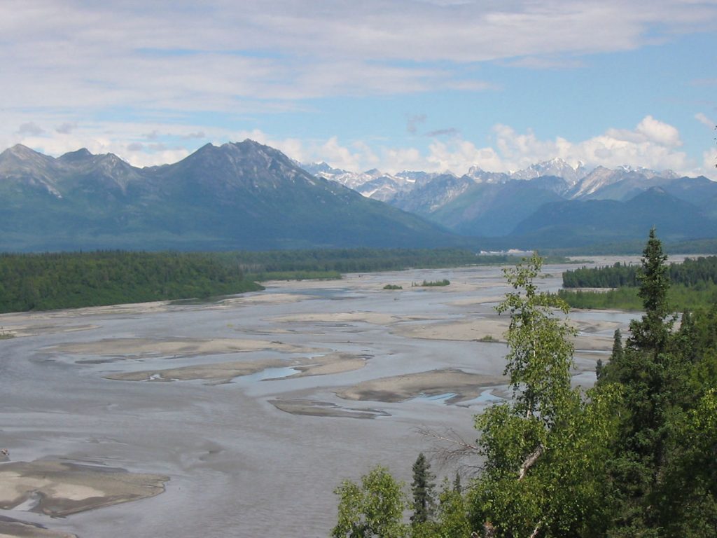
To give an idea of scale, the first mountains are still about 20-25 miles away.
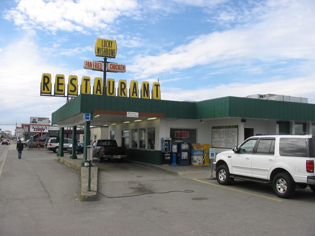
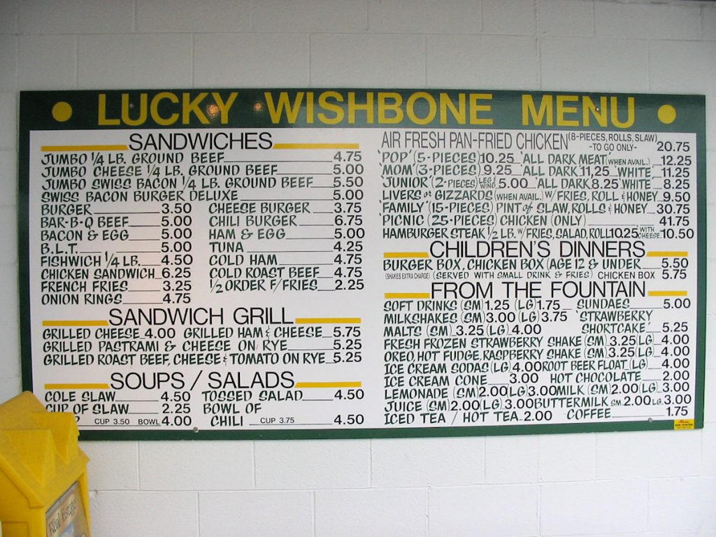
We had to stop at Lucky Wishbone, a favorite chicken place of ours.
Great malts!
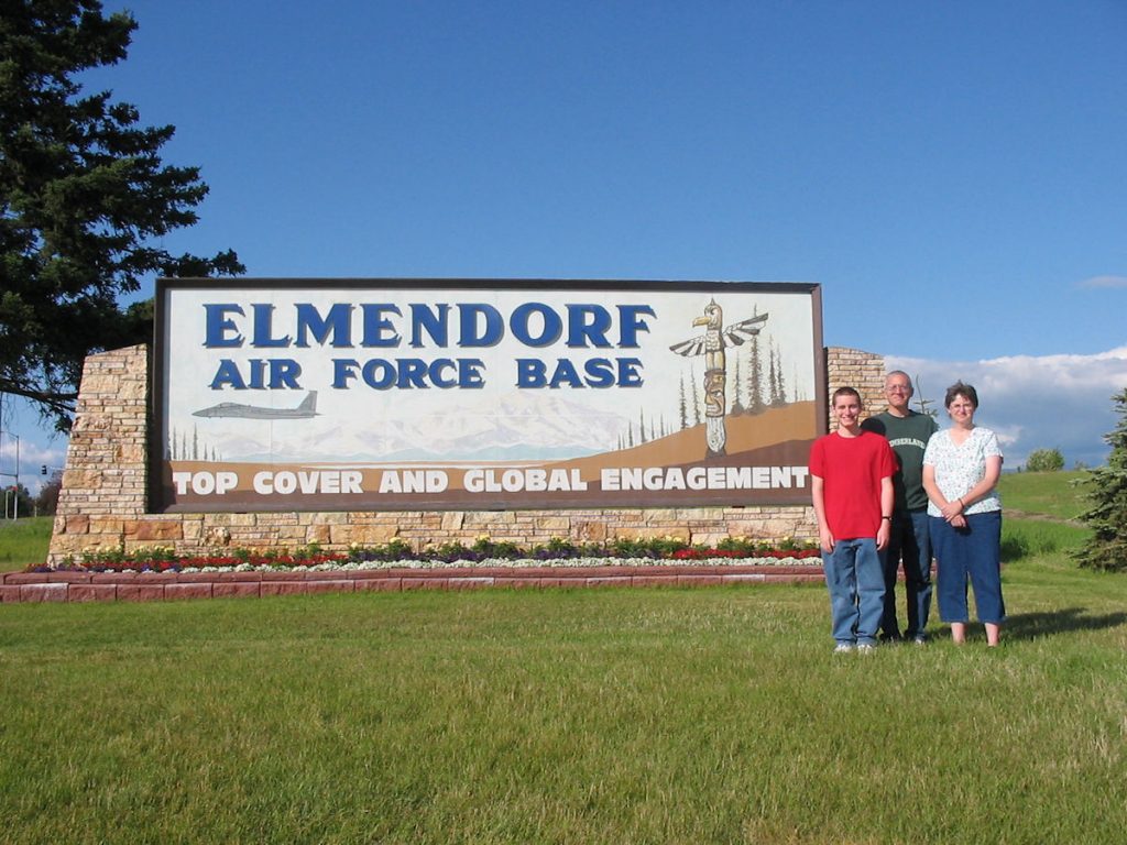
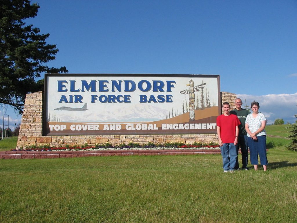
to Elmendorf AFB. It’s about 1/3 the cost of a hotel downtown. And, it’s safe.
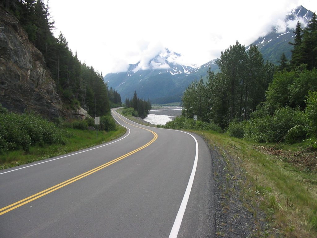
One day, we headed south along the Turnagain Arm toward Seward.
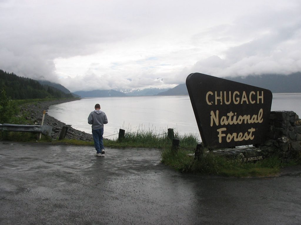
Spencer posed for this photo around 1994, and we did a family photo today. (next photo)
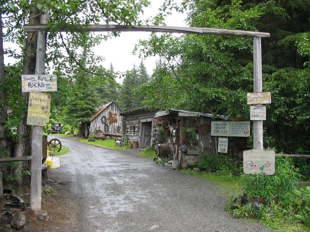
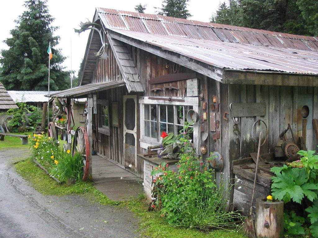
at Crow Creek Gold Mine to try our hand at gold panning.
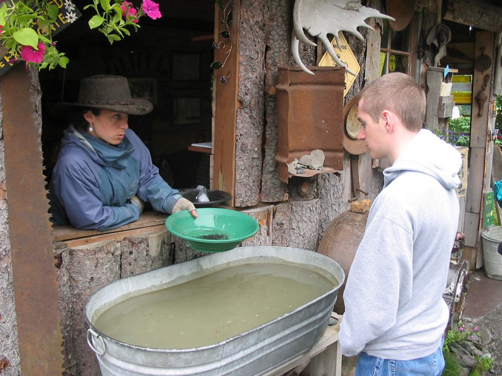
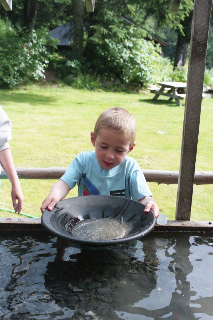
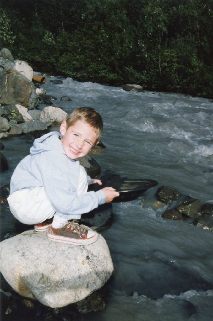
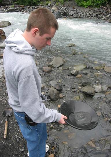
Hey, I’ve done this before. Stand back and watch a pro!
(Left – circa 1994 / Center – circa 1995 / Right – 2007)
I think we found enough gold to pay for our gas (from the parking lot back to the highway).

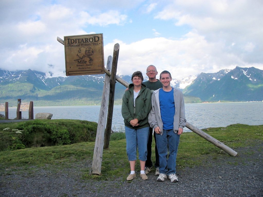
It first started in Seward and ran north through Anchorage to Nome.
Now, they start in Anchorage for all of the media attention.
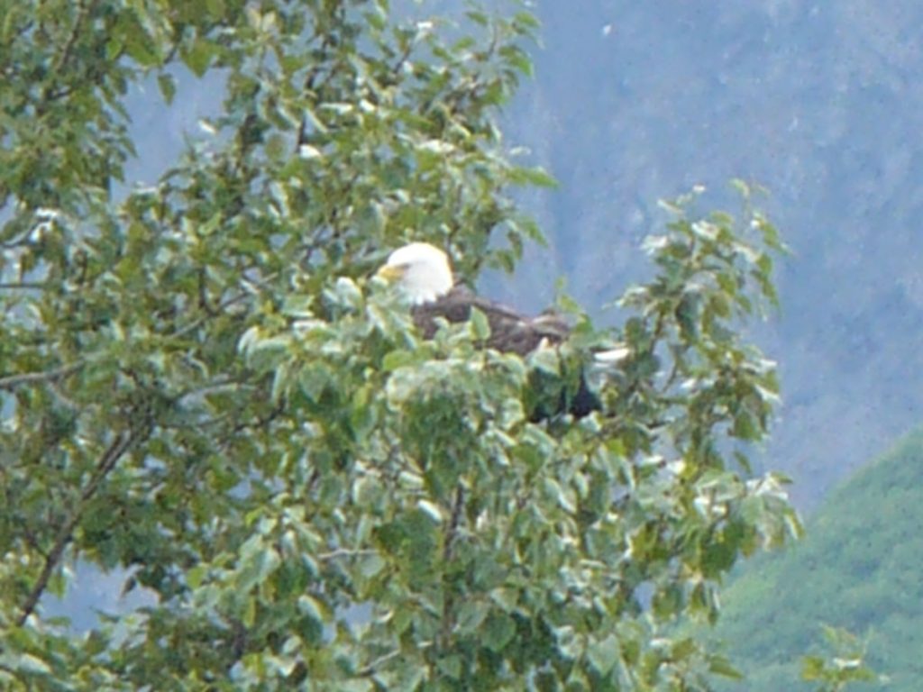
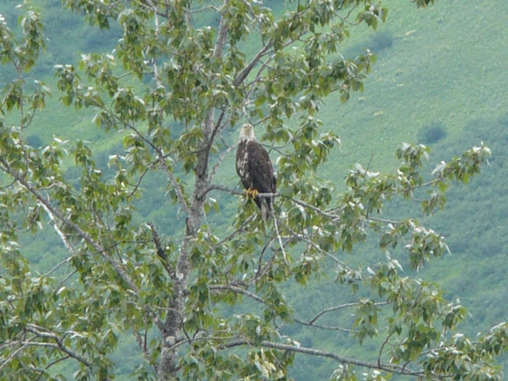
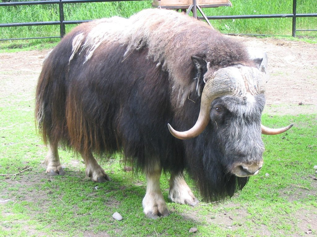
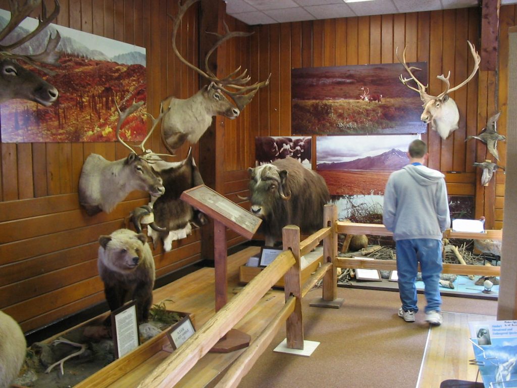
changing to part-white around the 3rd and 4th years.
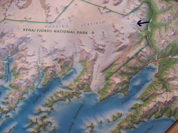
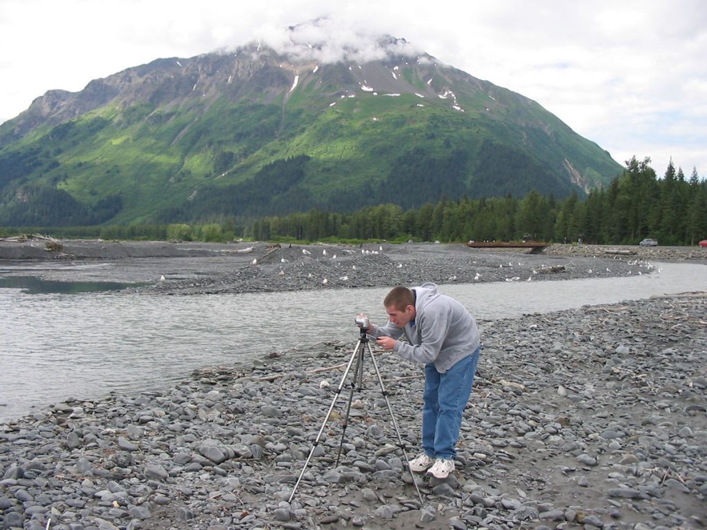
which covers a large area of the Kenai Peninsula. This map shows an area about 100 miles wide by 50 miles high.
You can see the ice field covers a great deal of that. See those rocks on the right-hand section of the ice field?
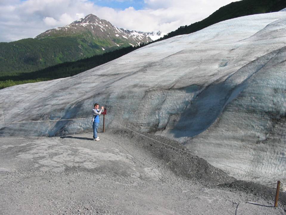
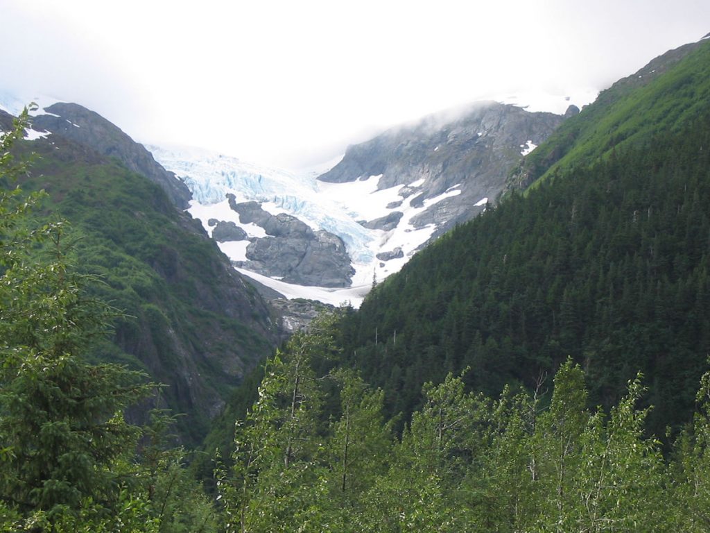
Those are the tips of 6,000-foot mountains peeking through the ice field. The arrow points to where Exit Glacier
spills over the top of one mountain and flows down into the valley.
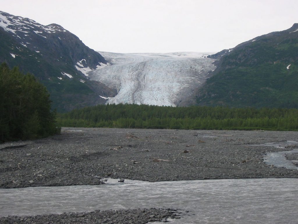
The glacier covered this area as recently as the 1800s.
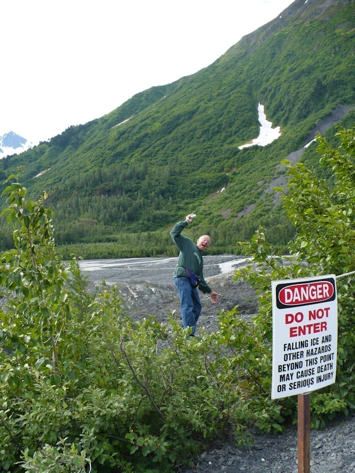
What’s the worst that can happen?
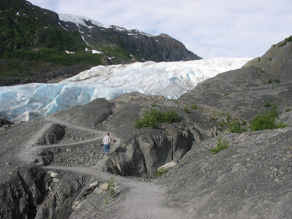
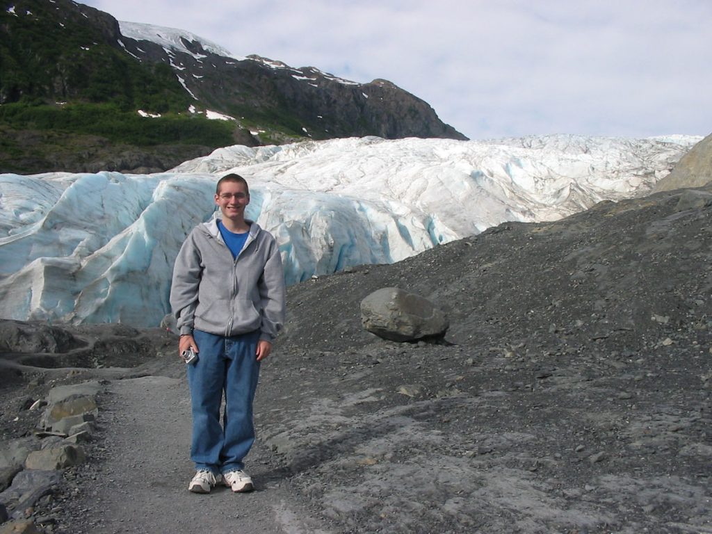
We are still several hundred yards away from the glacier.
For perspective, remember it’s about 100 yards away from Spencer.
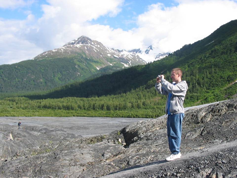
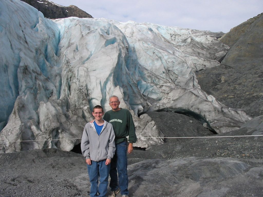
It’s about 150 feet thick at this point.
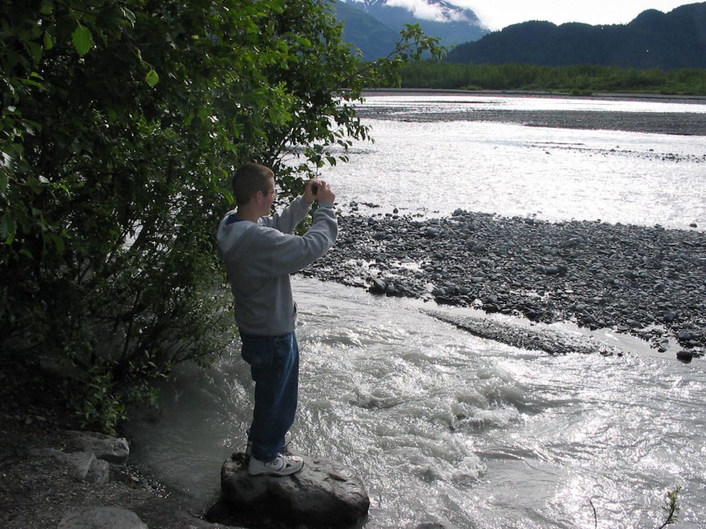
which is melted water from the glacier.
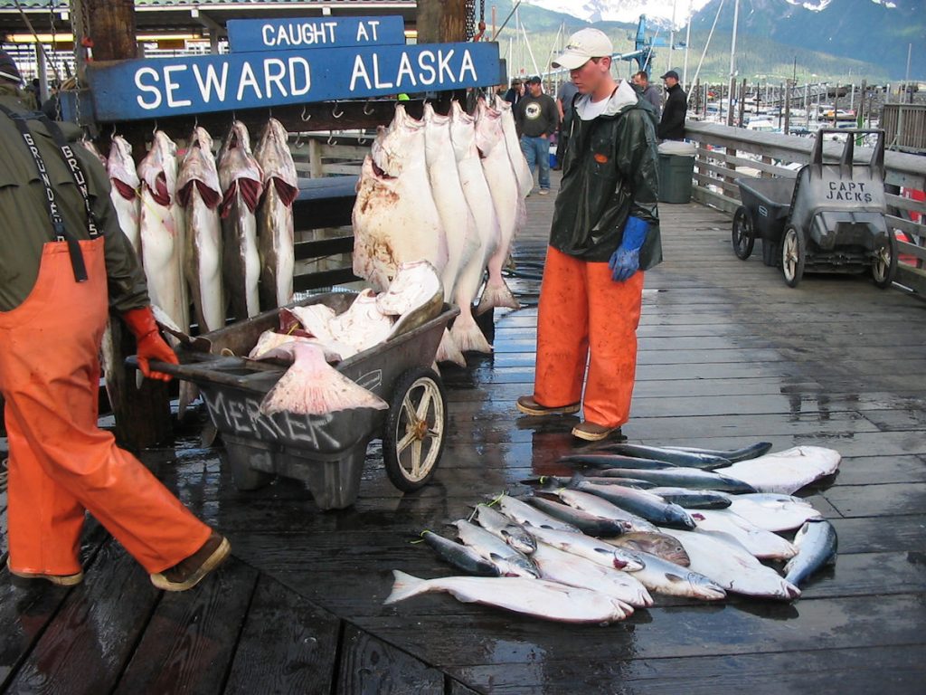
Those halibut hanging up by the sign weigh about 100 pounds each.
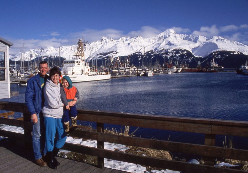
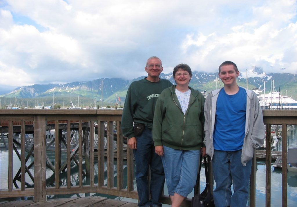
Then and now – Seward harbor, about 1993 and 2007
before they moved it to Anchorage.
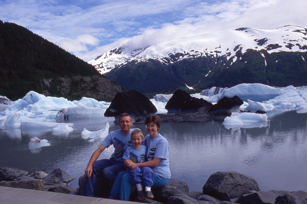
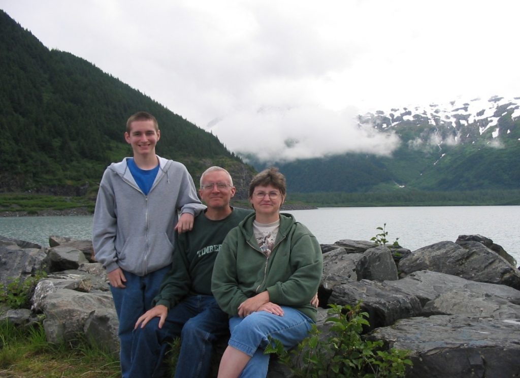
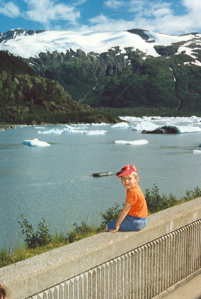
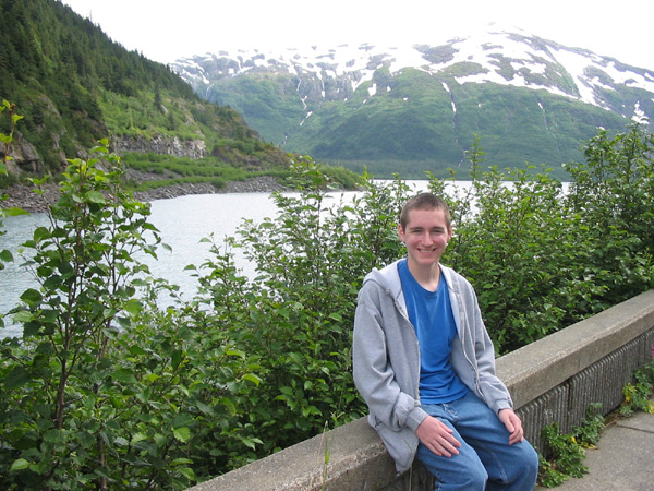
Coming back from Seward, we stopped at Portage Lake.
Portage Glacier used to be visible in the background as late as the mid 1990’s,
but now has receded around the corner of the valley.
(Left – circa 1993 / Right – 2007)
Then and now – By Portage Visitors Center : About 1993 and 2007
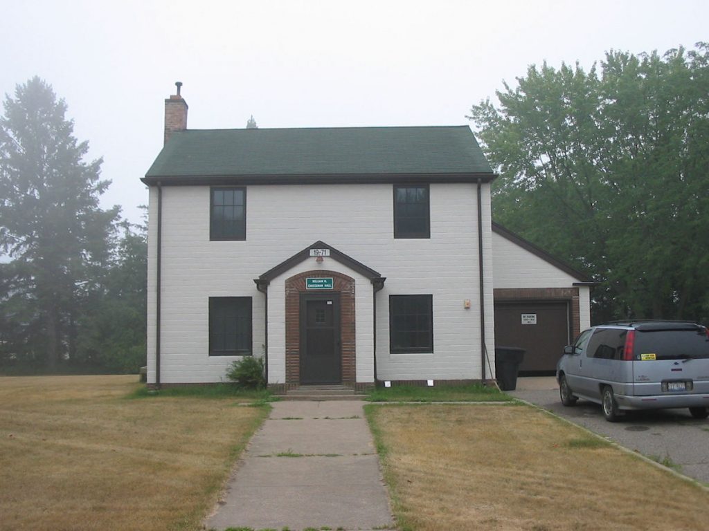
This is next door to the band hall. Beth and Spencer used to wait
in here when they picked me up returning from band trips.
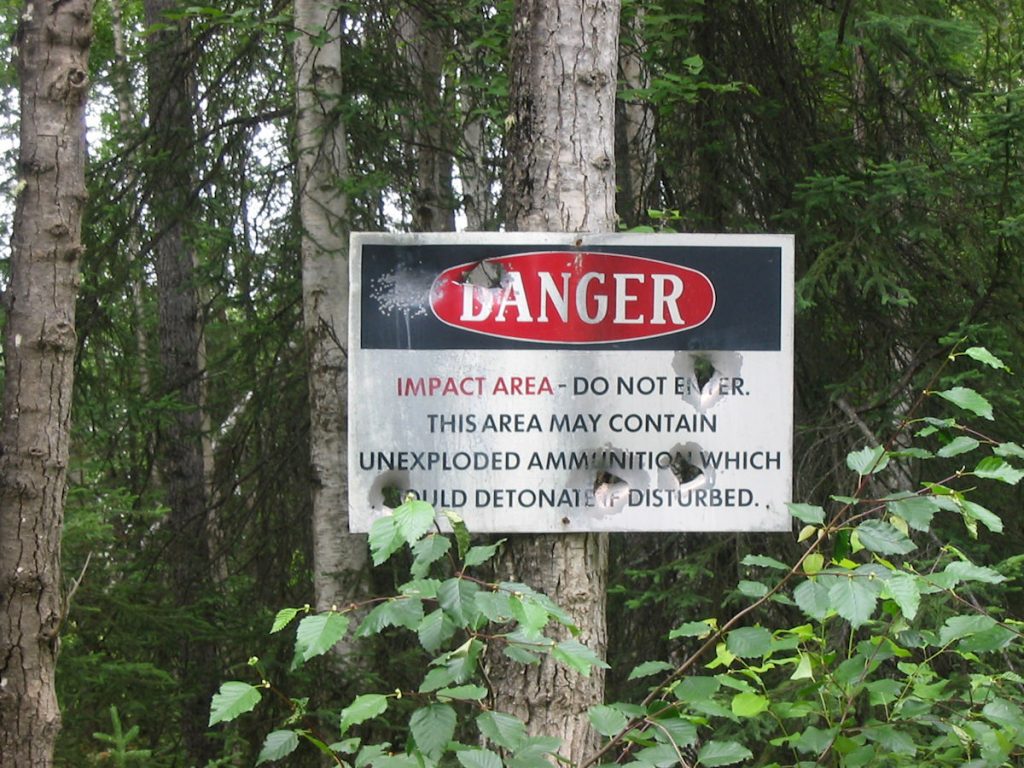
This used to be a training area.
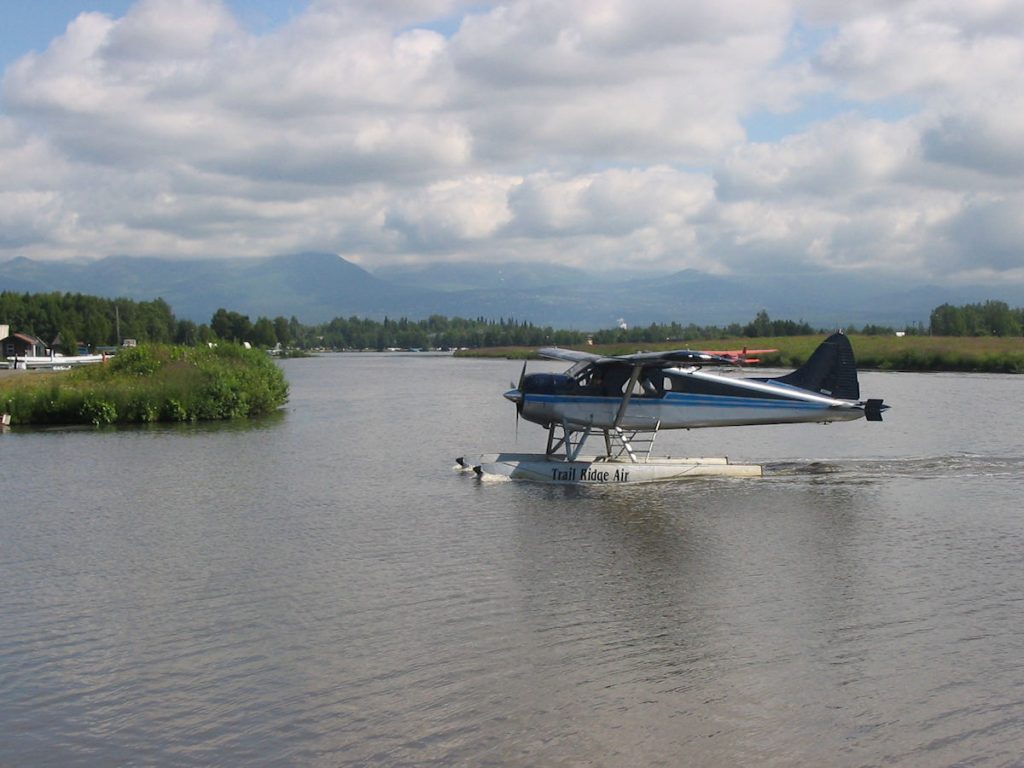
Hundreds of floatplanes land and take off each day in the summer.
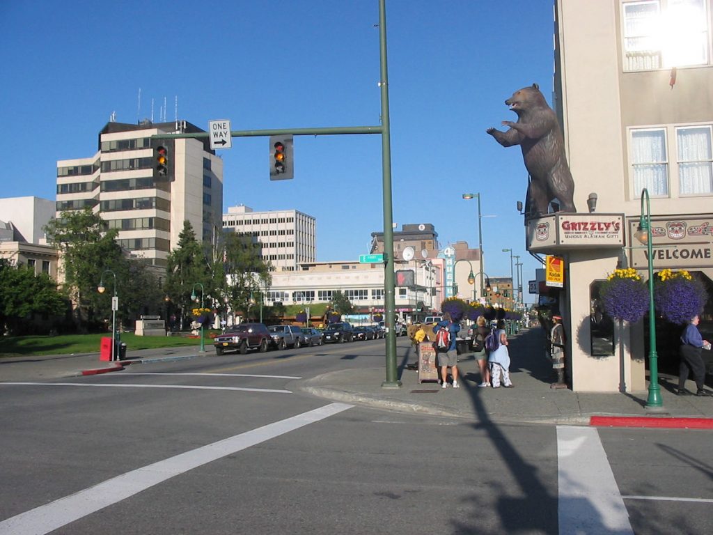
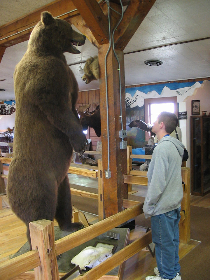
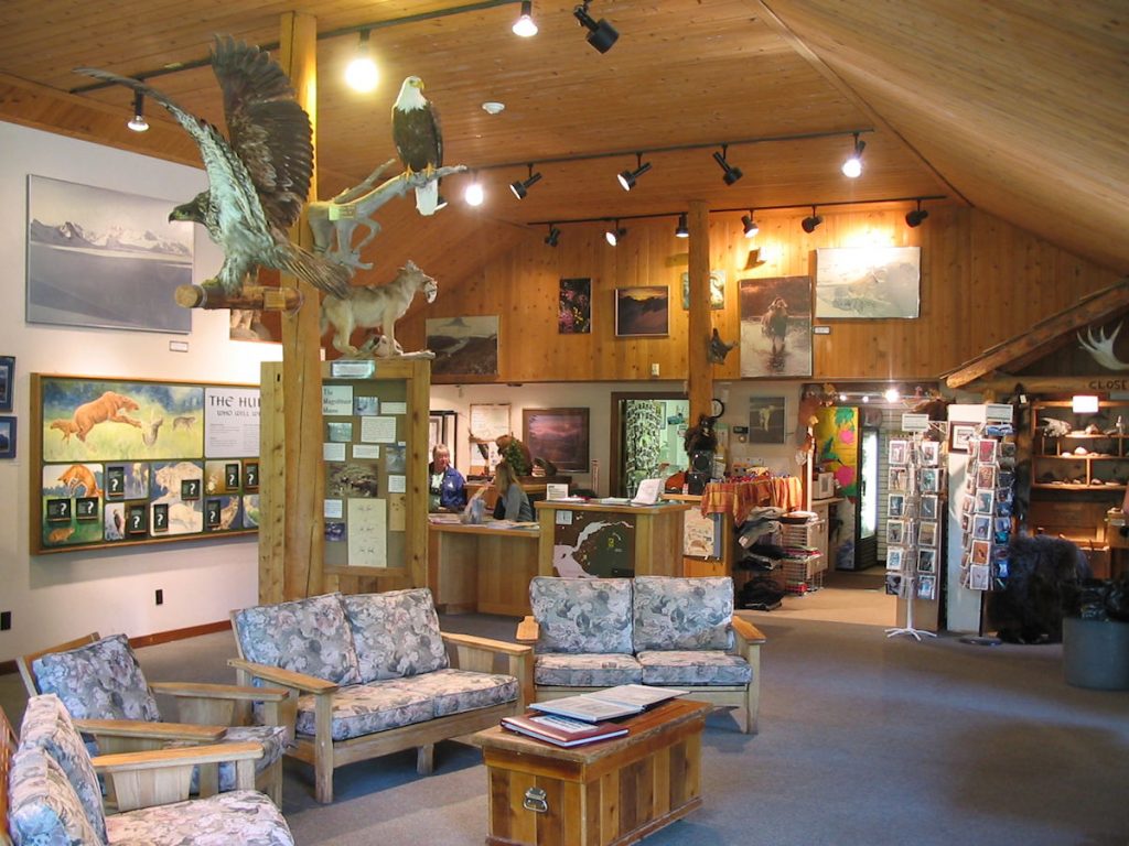
Grizzly’s Gift Shop is one big gift shops.
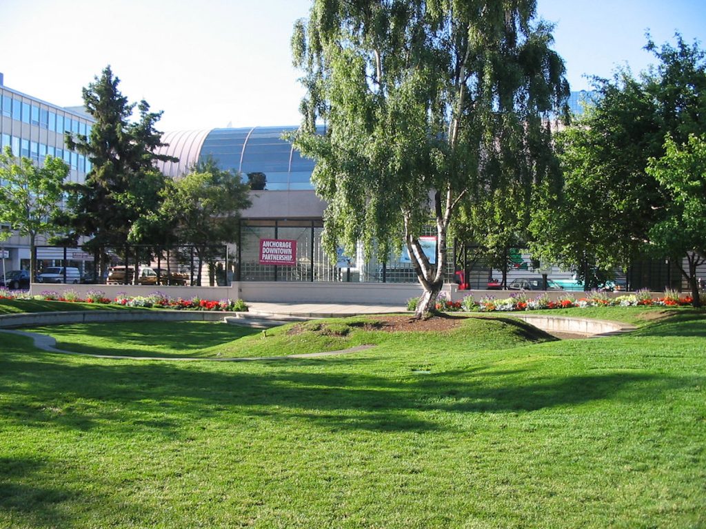
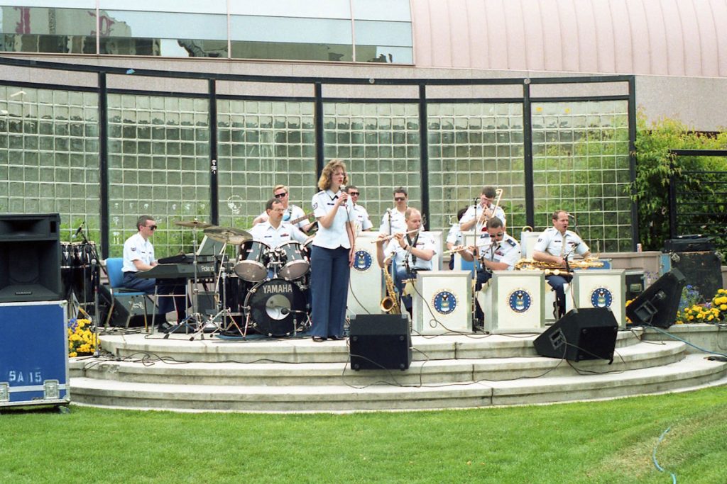
Air Force Band community concerts in the summer “back in the day”.
(See next photo)
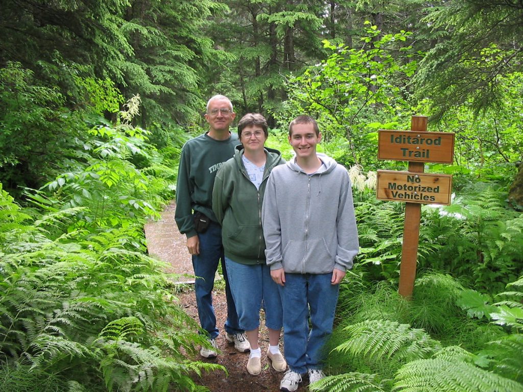
Next, we drove up to Eagle River
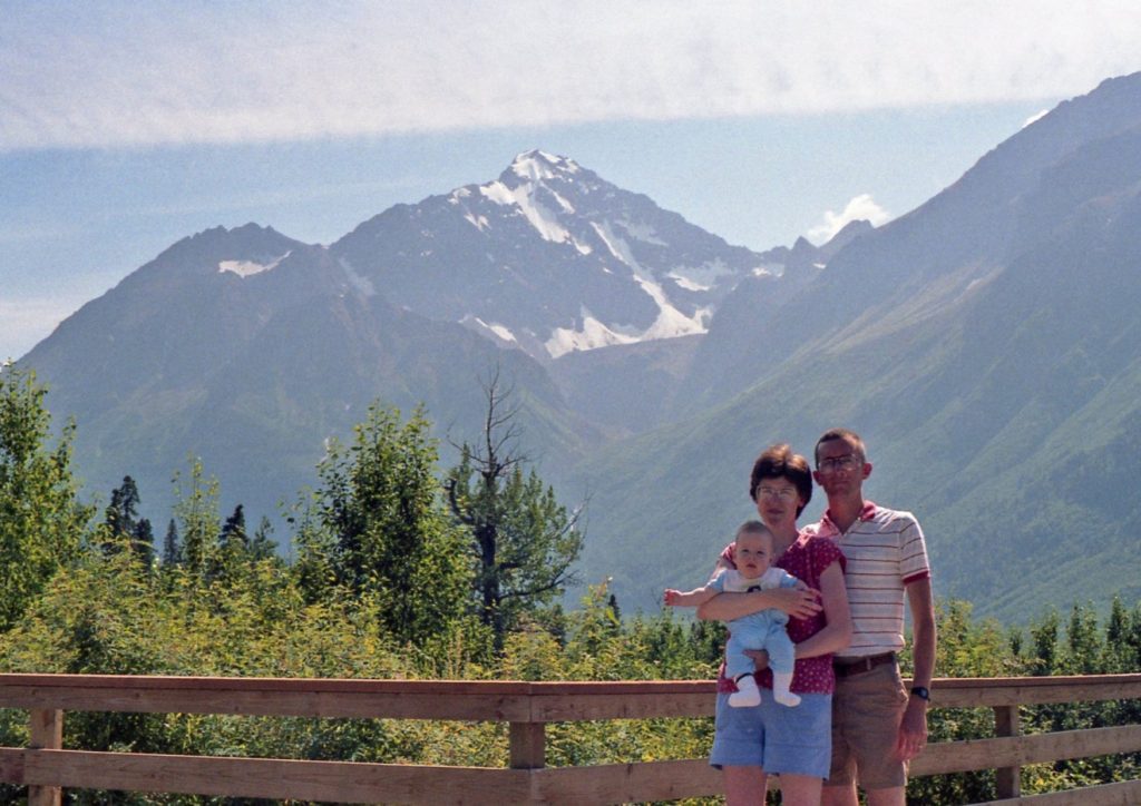

Family photos at Eagle River
(Left – 1990 / Right – 2007)
We stopped by the Eagle River Visitors Center, located about 30 minutes from Anchorage.
We hiked many of the trails in this park during our years in Anchorage.
We also met a friend we had been stationed with in Nebraska and Germany (Kathy Homan) and her son Jessie.
There is a 25+ mile cross country race each summer that goes through
the mountain area in the background.
It’s called the Crow Pass Run. Lots of bears, cold-river crossings, briars, etc.
Fort Richardson
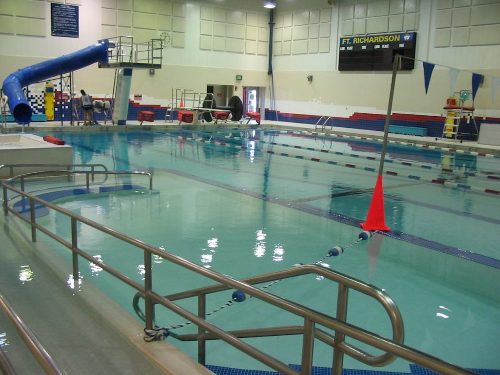
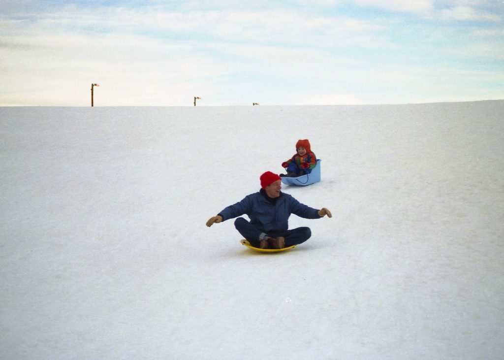
We started taking him there when he was still in diapers,
and by the time he was 5, he was jumping off the high dive and swimming to the side of the pool.
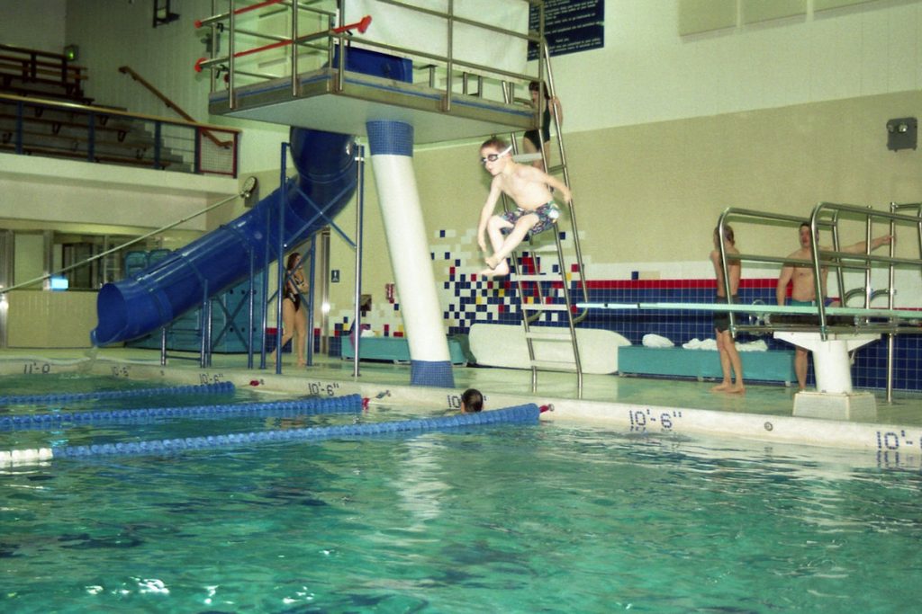
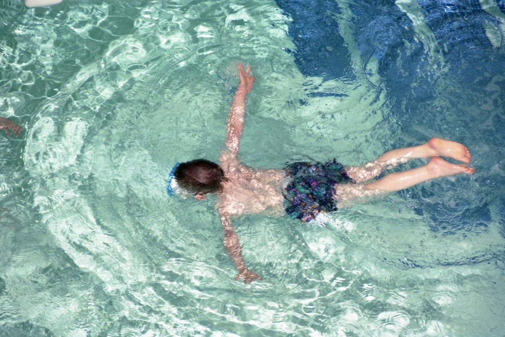
(That’s Spencer jumping in back in 1995 – CANNONBALL!!! and exploring underwater.)
Day 17: Tuesday July 17th
Anchorage, Alaska to Tok, Alaska
Today 325 miles: Trip total 5,589 miles
Well, it’s been fun reminiscing but it’s time to start heading home. We have 4,500 miles to go.
We left Anchorage early Tuesday morning so we could split the drive to Dawson City into
2 reasonable days rather than 1 LONG day. That would allow us to spend more time
on the “Top of the World Highway” the next day, too.
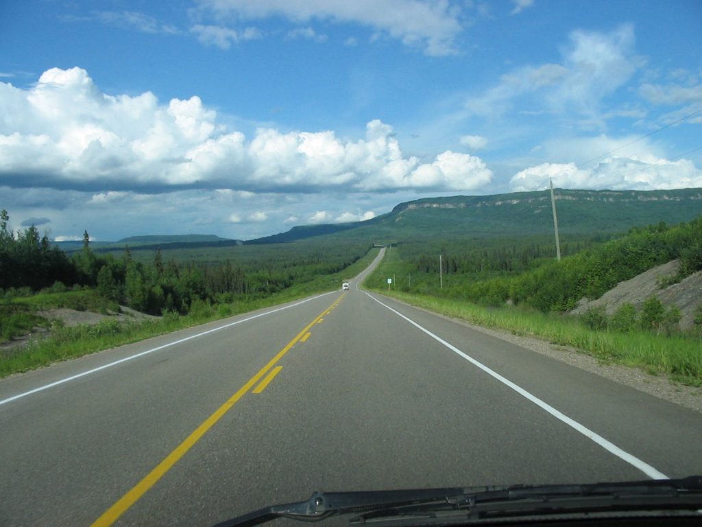
It’s a little clearer view than when we drove in.
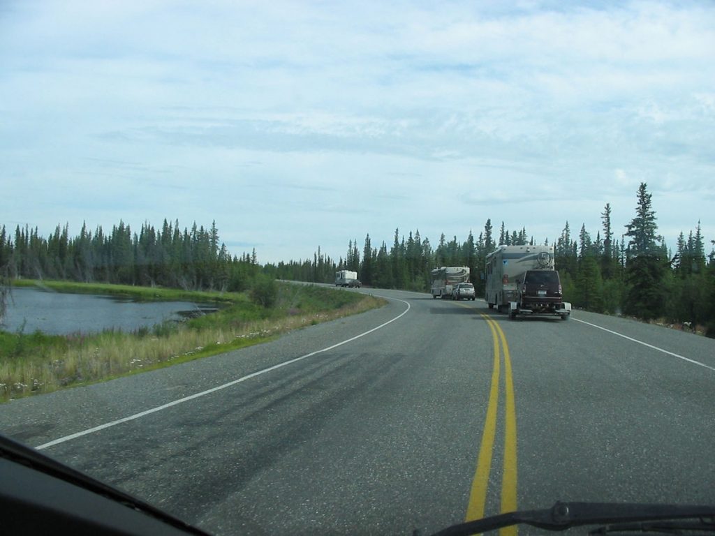
Try passing that on a curvy road!
Day 18: Wednesday July 18th
Tok, Alaska to Dawson City, Yukon
Today 190 miles : Trip total 5,779
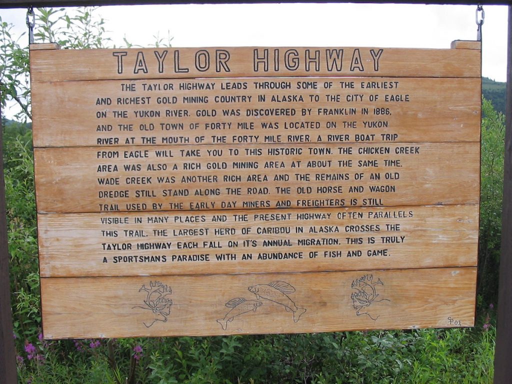
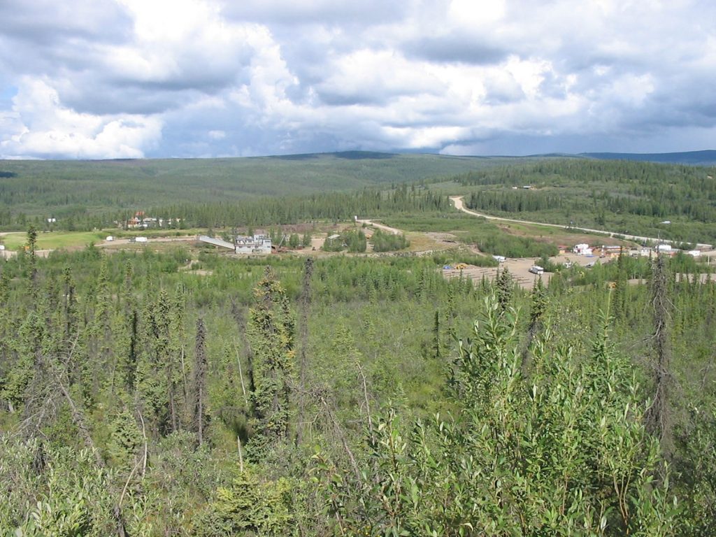
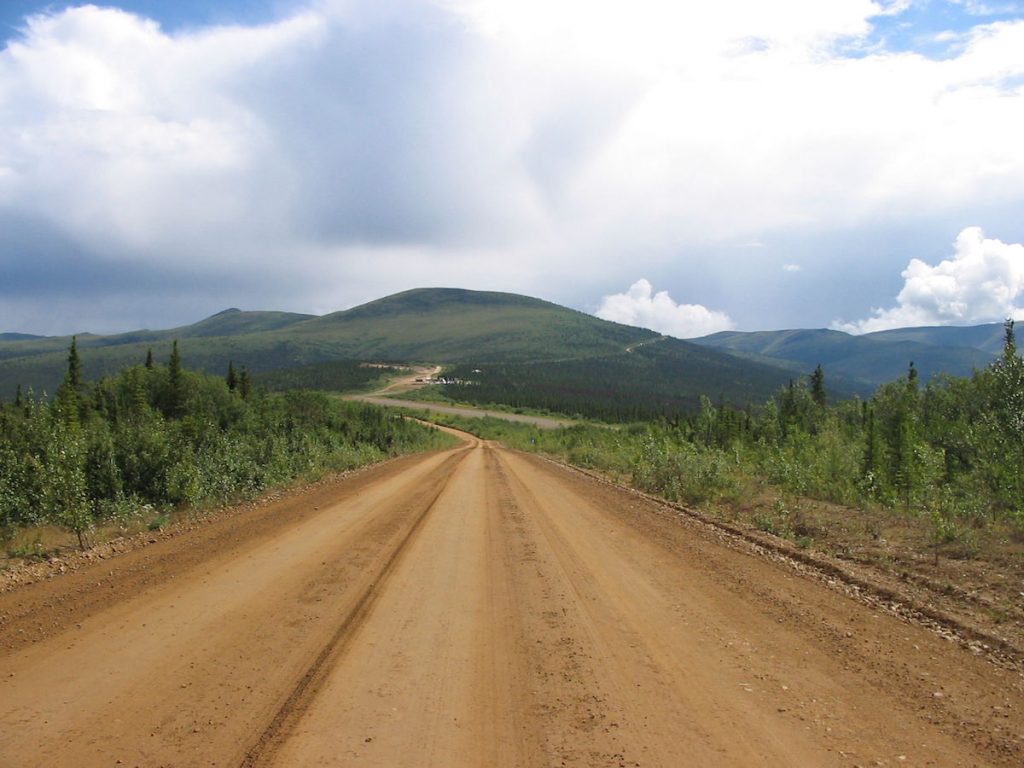
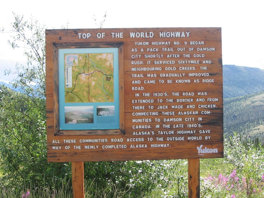
“Top of the World Highway” and continues to Dawson City, Yukon. Gold country!!
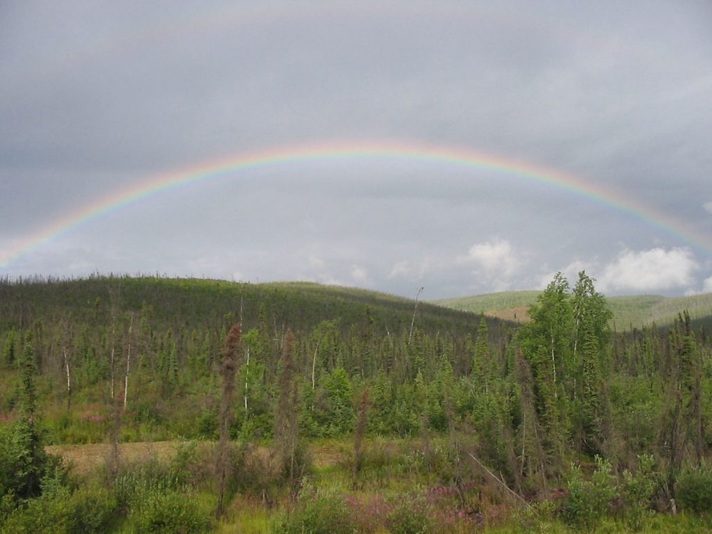
It’s ironic that many prospectors came here back in 1849 looking
for a pot of gold at the end of the rainbow, and never found it.
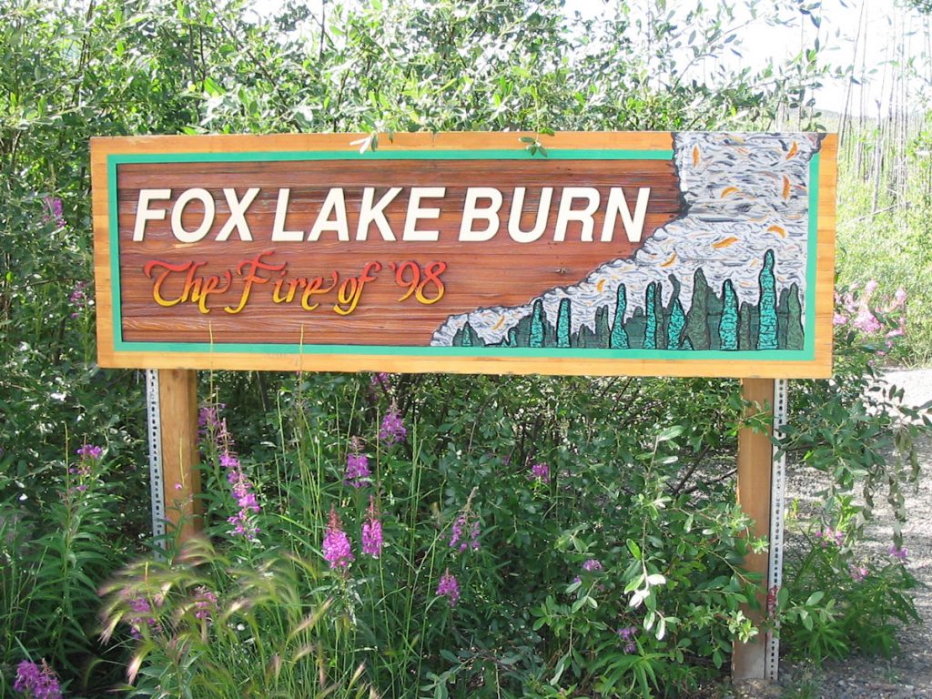
forest fire about 10 years ago.
We’re glad the van didn’t break down here.
What else is there?
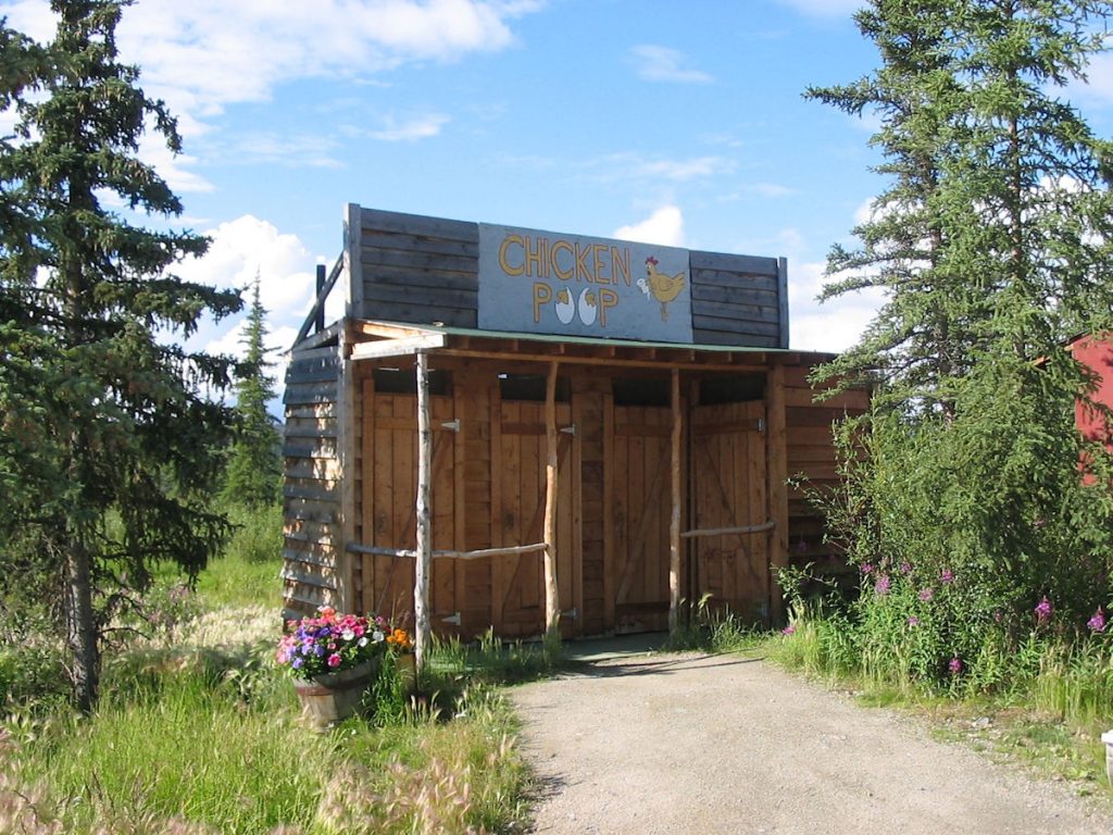
Anyone help me with what it’s called?
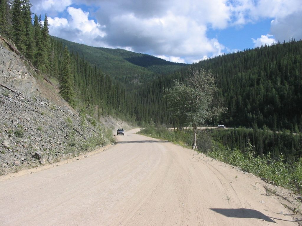
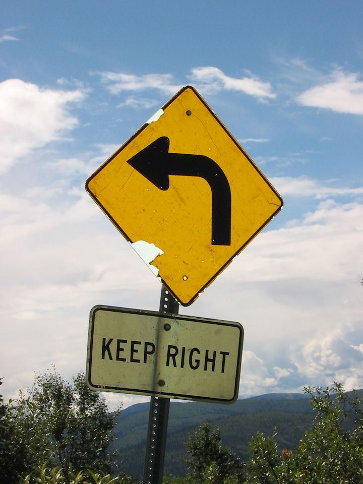
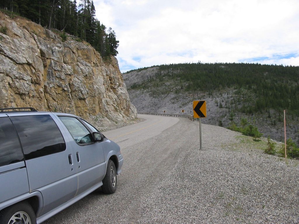
drop-offs with no guardrails. That made Beth happy! (Not!)
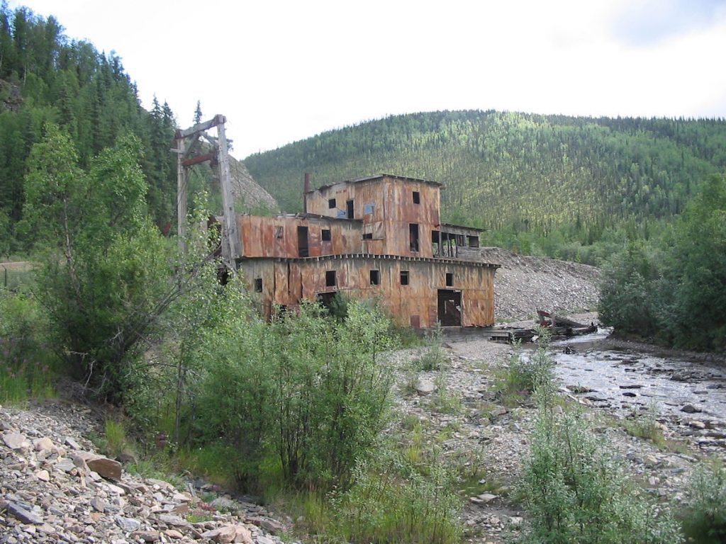
(Jack Wade Dredge – reportedly removed right after we went through)

(See next photo)

Look closely at the mountain just ahead and to the right. That’s the Alaska/Yukon border.
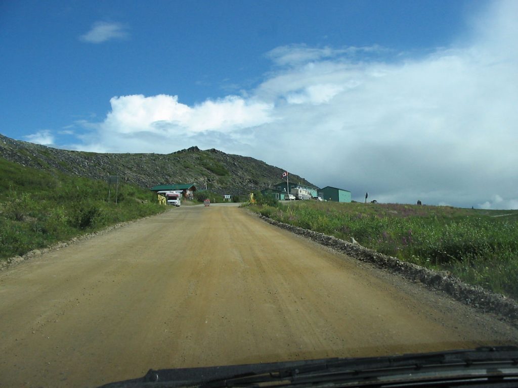
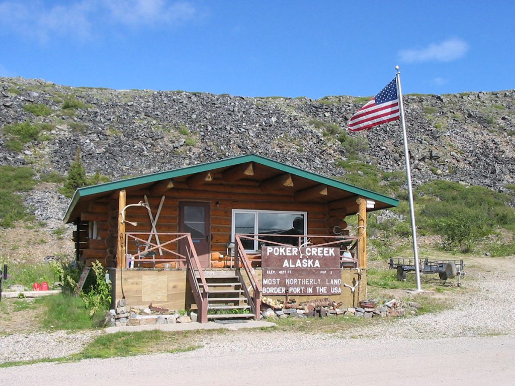
It’s the last stop before the Canada border.
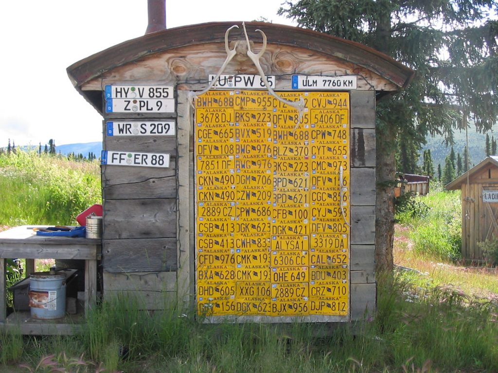
She then asked me to check our plates to make sure they were still attached.
Notice the German plates.
Eisenhower was President.
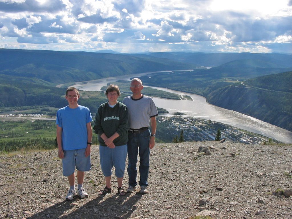
coming the other direction into Alaska. This is our last family picture taken in Alaska.
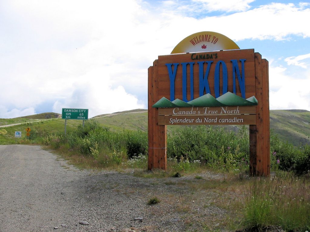
Dawson City – 105 Kilometers (65 miles)
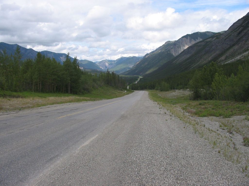
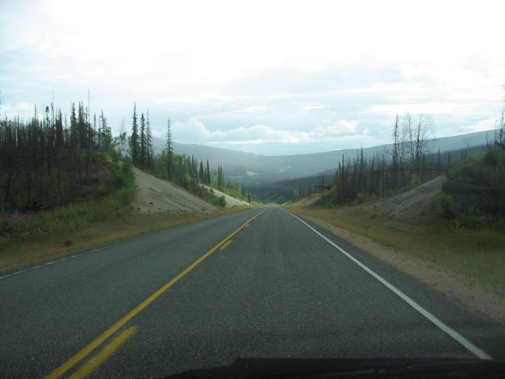
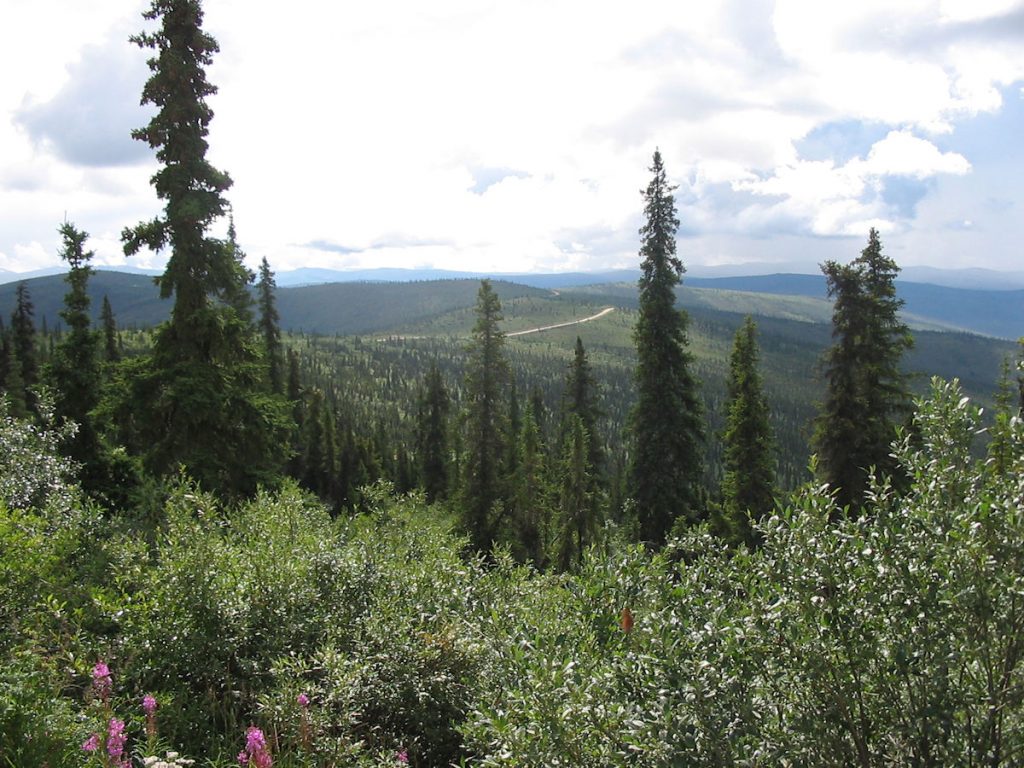
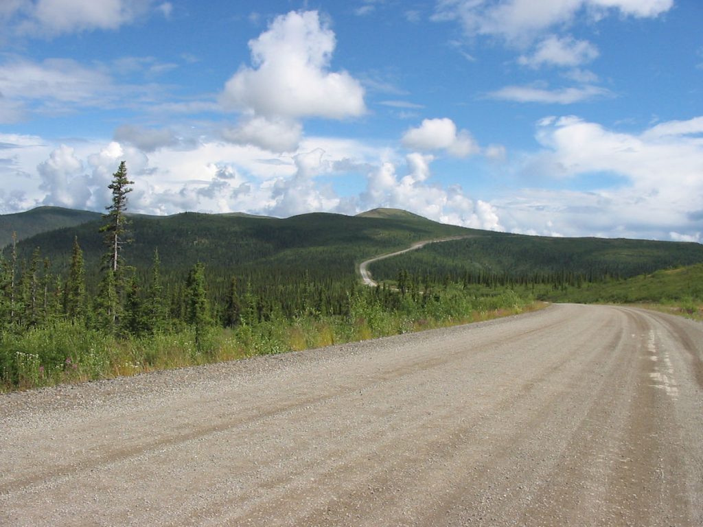
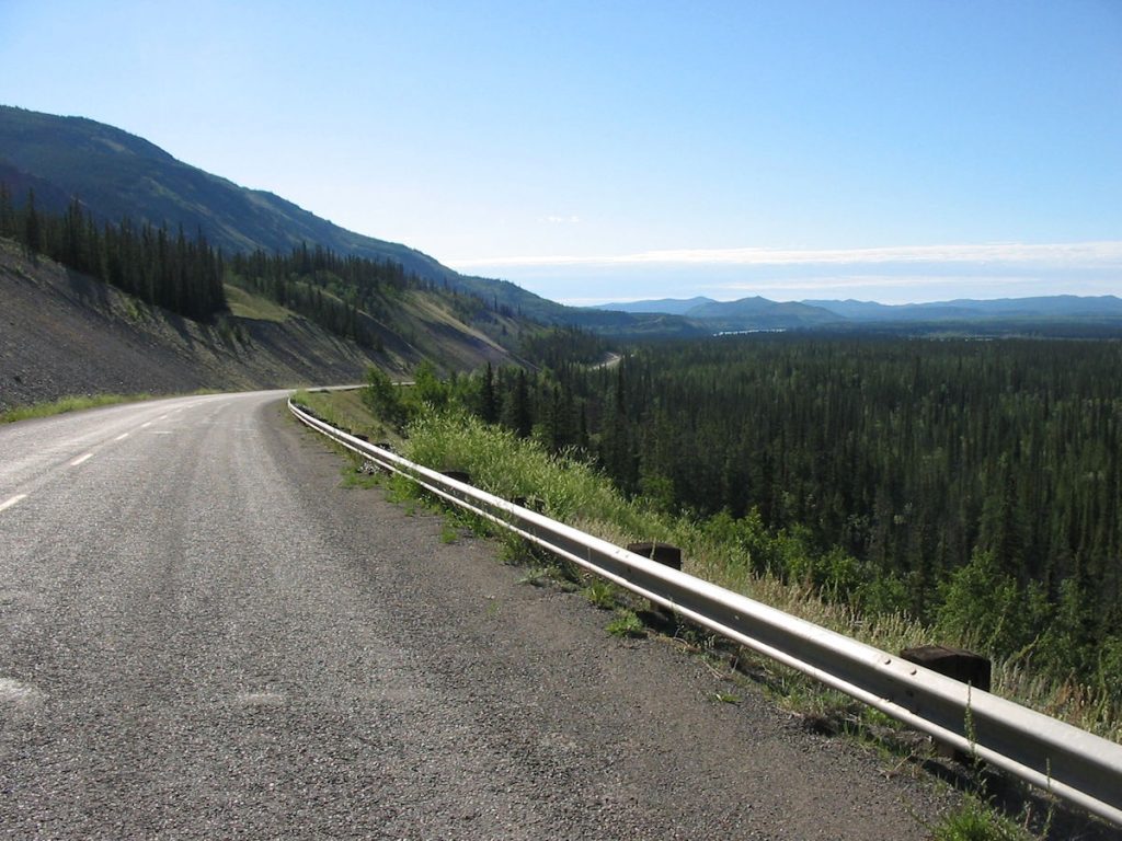
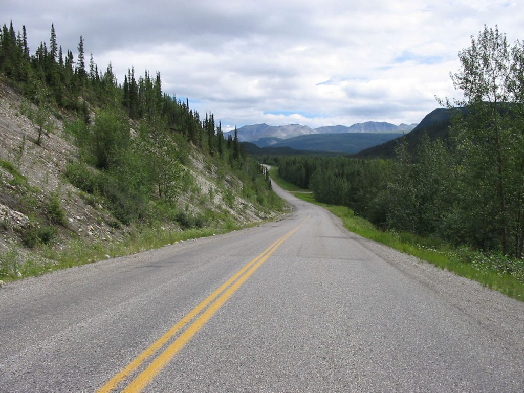
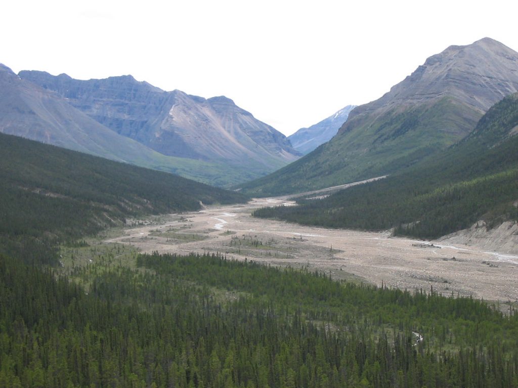
the high ridgelines of the mountains, and because it’s so far north on the globe. Lots of spectacular views.
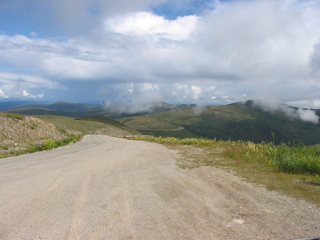
Some sections are great, some are not. Also, the Canadian government has figured out that it can save millions of dollars
by not installing guardrails on its roads, so be prepared for a long drop if you overshoot a corner.
(Remember, the road is built along the TOP of the ridges.)
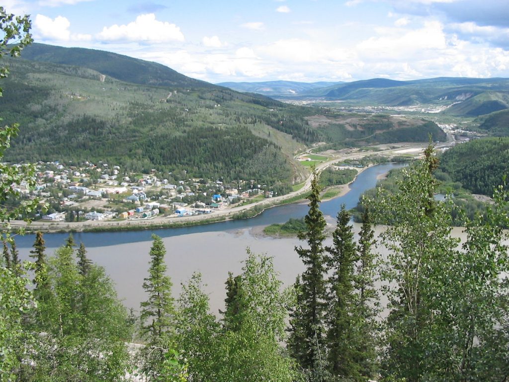
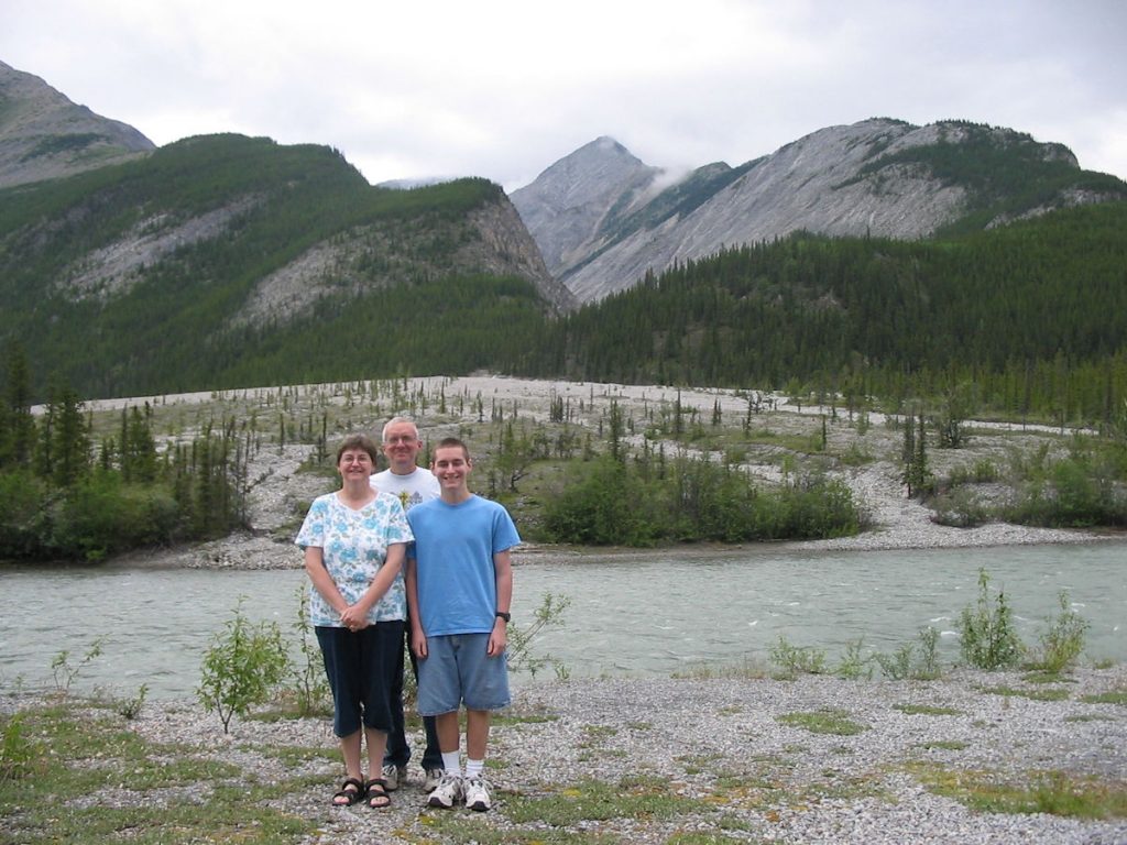
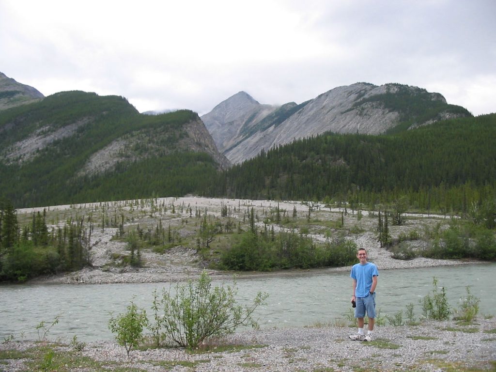
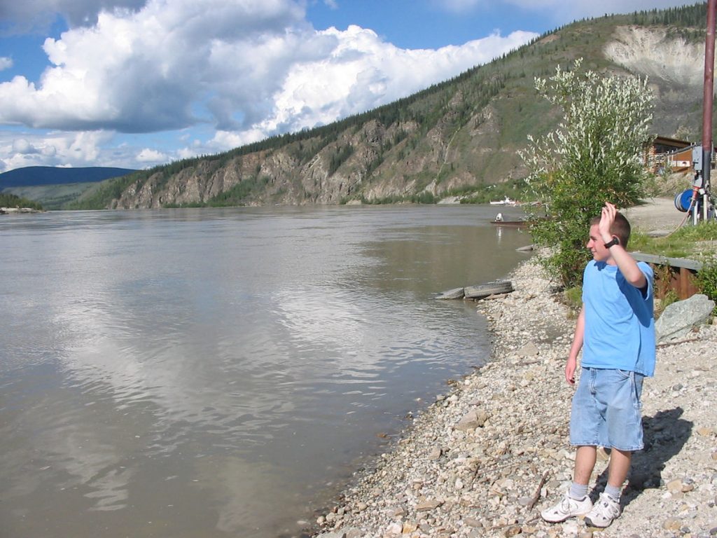
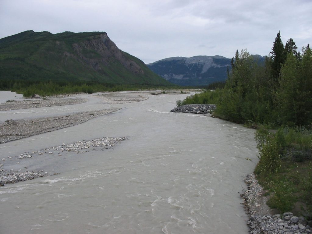
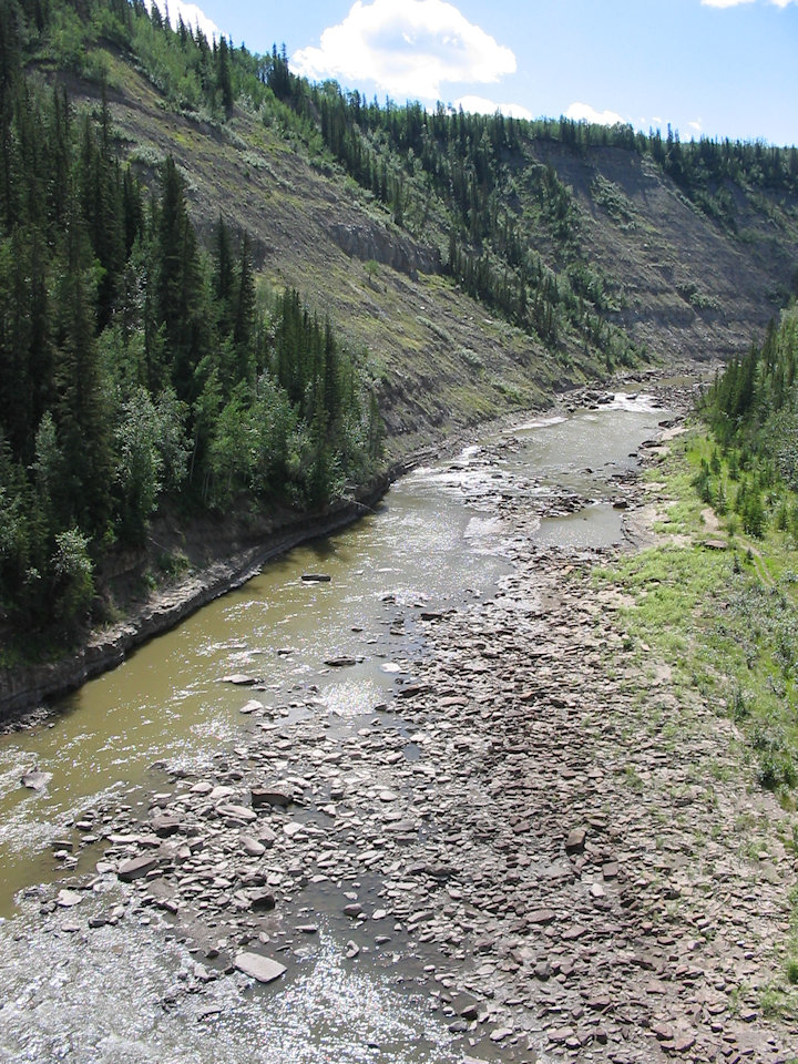
The Yukon River (flowing from the right, dirty with glacial silt) merges with the Klondike River (flowing toward you,
with clean mountain water) merge and continue flowing north (still known as just the Yukon River)
in a loop around the north of Fairbanks, AK, and westward to the Bering Sea, just south of Nome, AK.
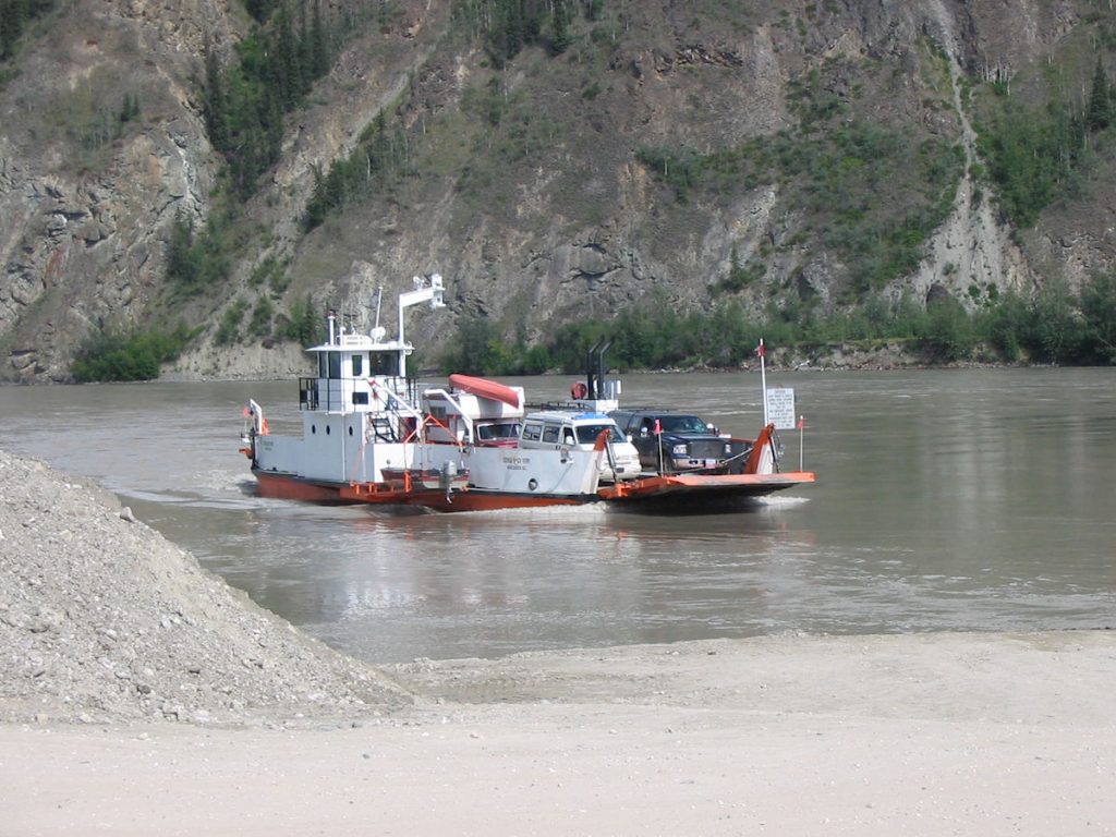
so all traffic must pass over on the ferry.
Here he is re-enacting his childhood.
up and down to Whitehorse for years.
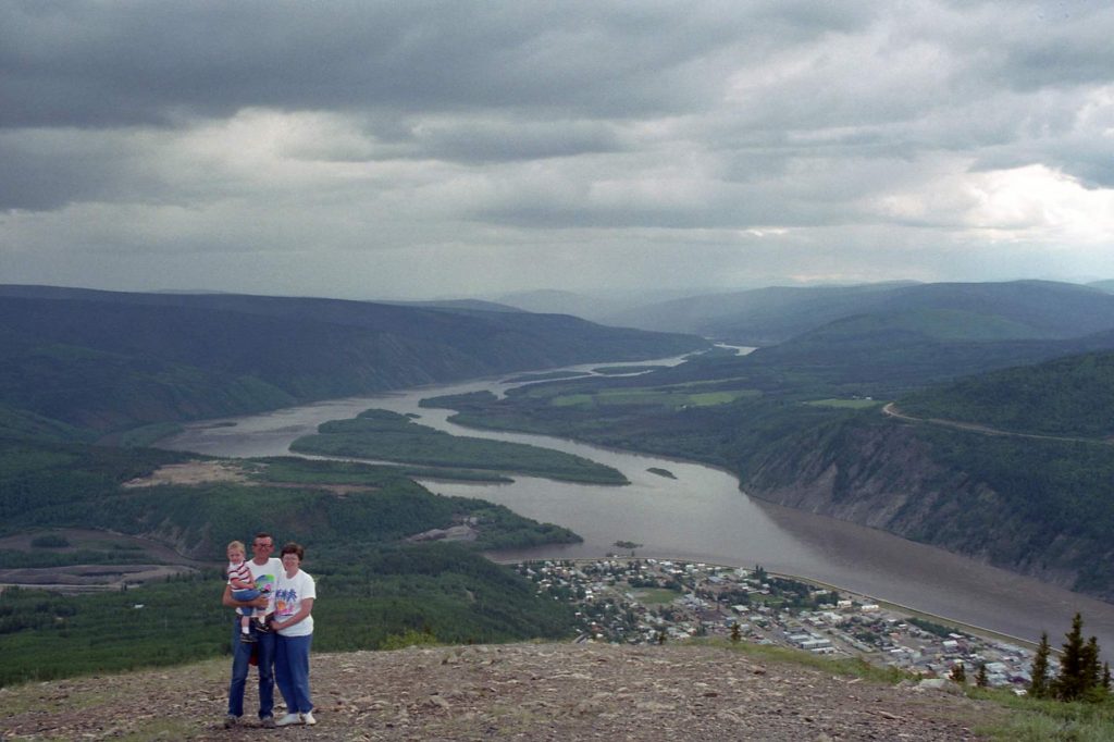
To see the same photo taken about 15 years earlier, look below.
Day 19: Thursday July 19th
Dawson City, Yukon to Teslin Lake, Yukon
Today 460 miles: Trip total 6,239 miles
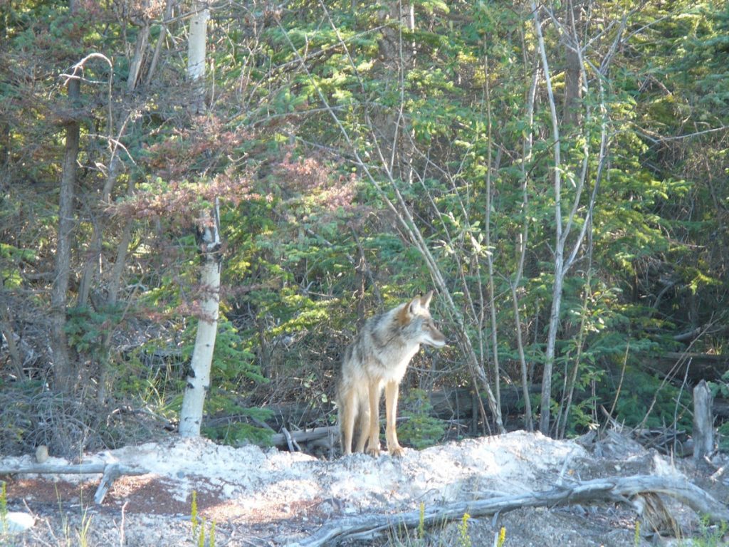
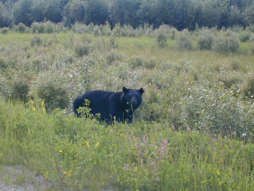
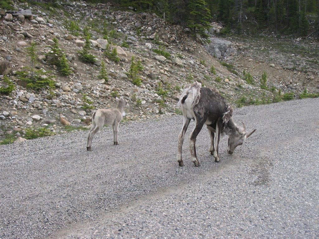
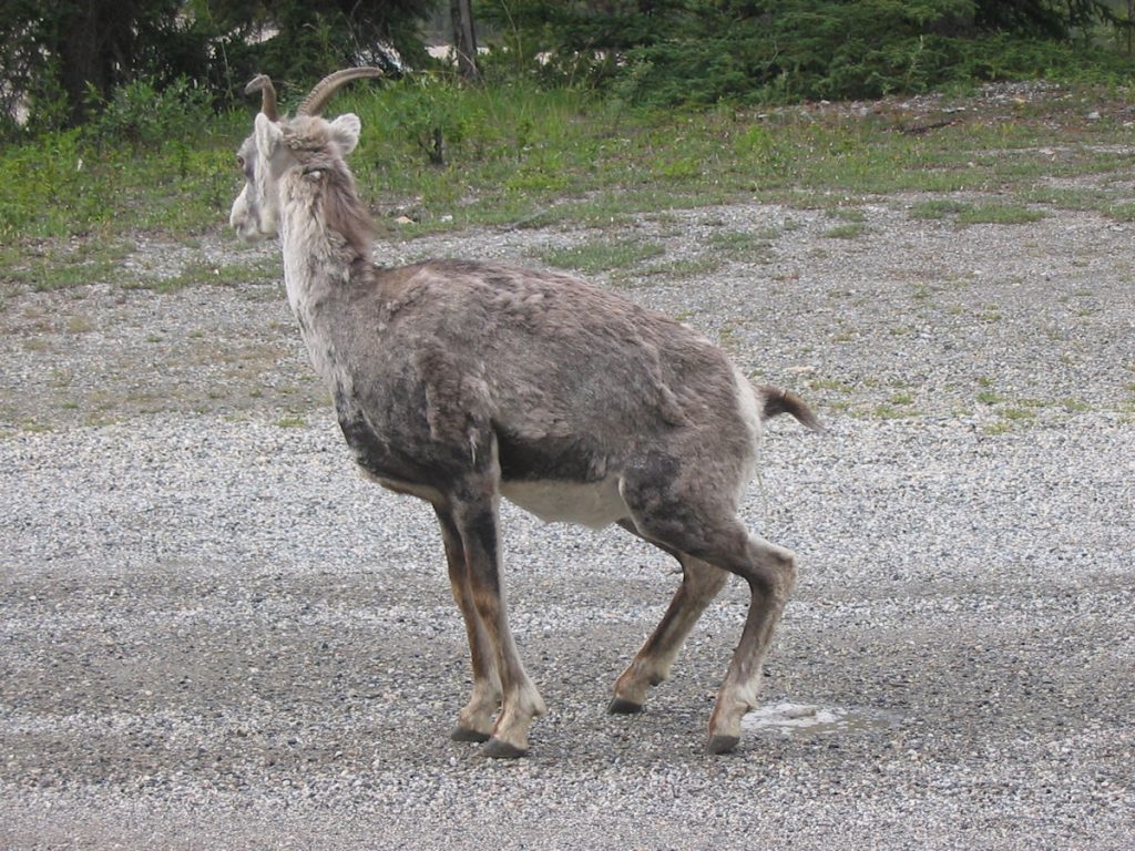
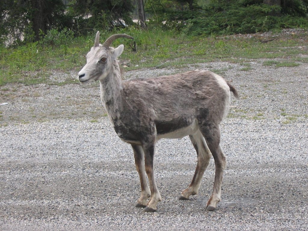
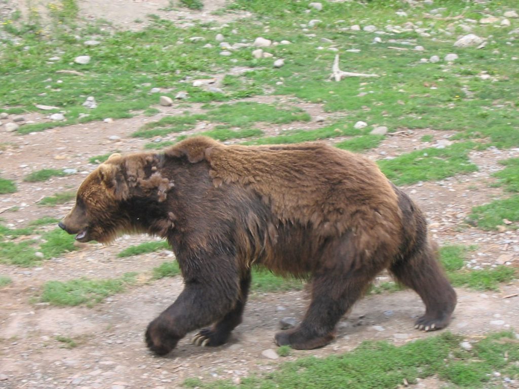
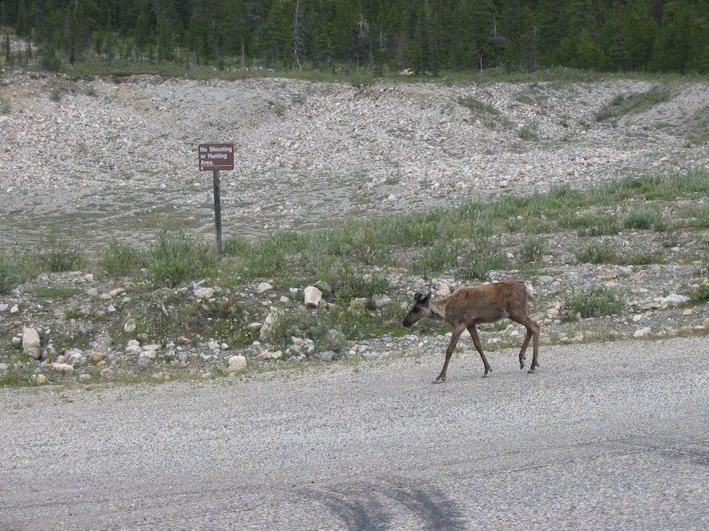
We stopped, backed up 100 feet, and watched this beautiful animal
walk around for about 5 minutes. Spencer took this great picture.
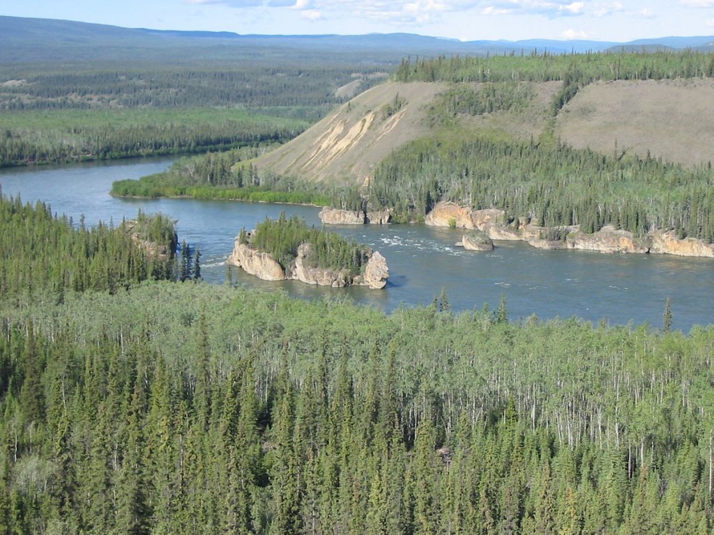
Here, the river is divided into 5 channels (fingers) by four large rocks.
It took quite a bit of skill to maneuver around these safely.
the top of this mountain and solidified into sheets of rock.
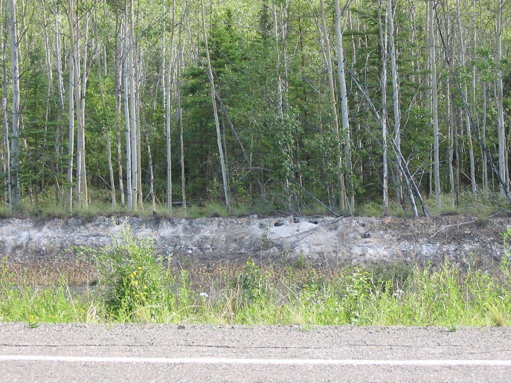
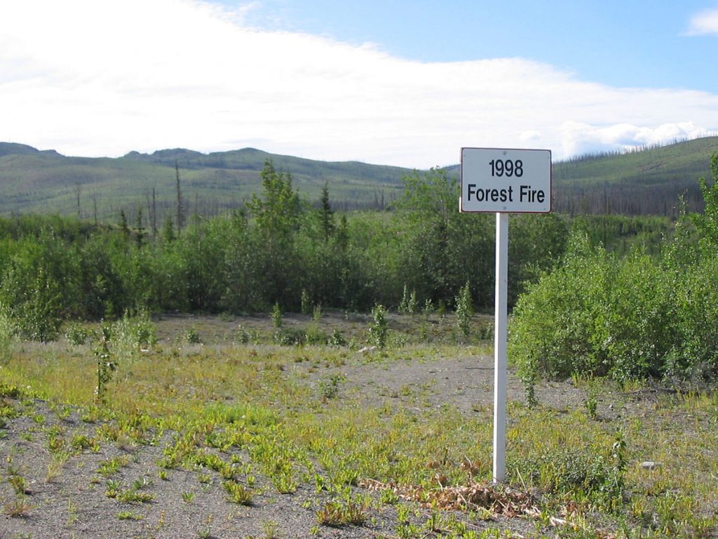
Apparently, fires are a natural phenomenon, and serve to clean up the forests and start over.
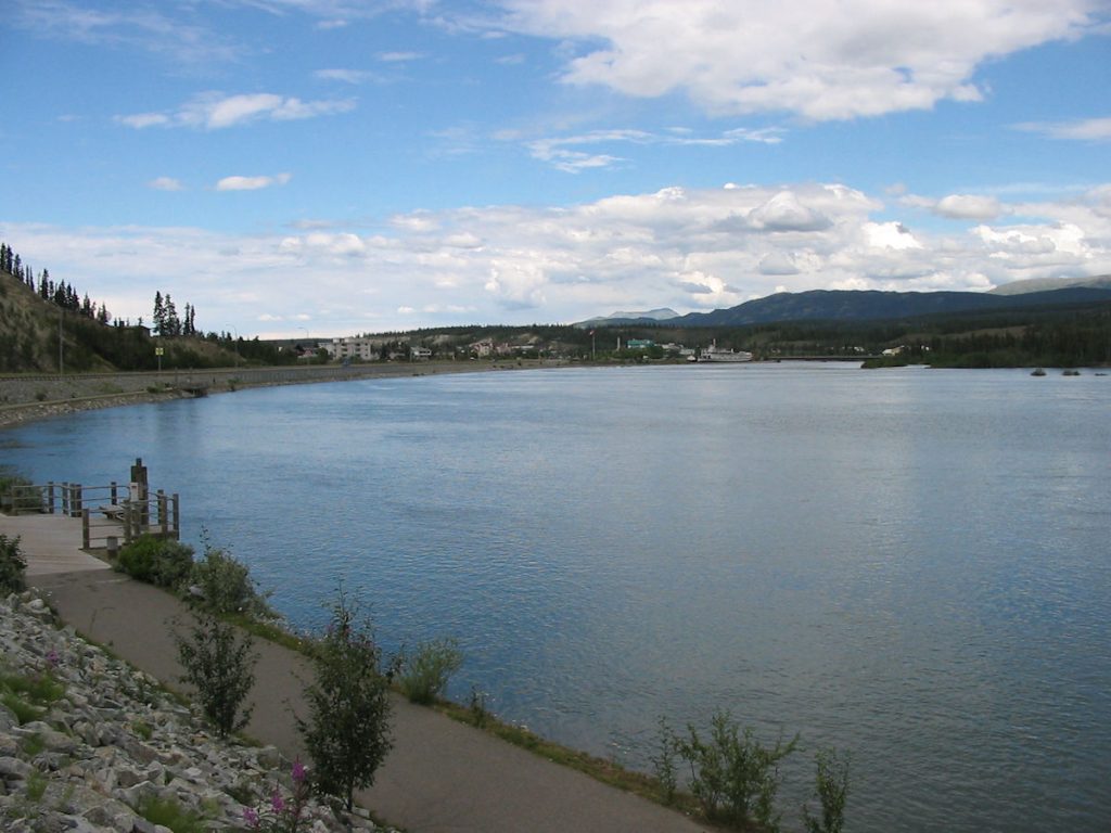
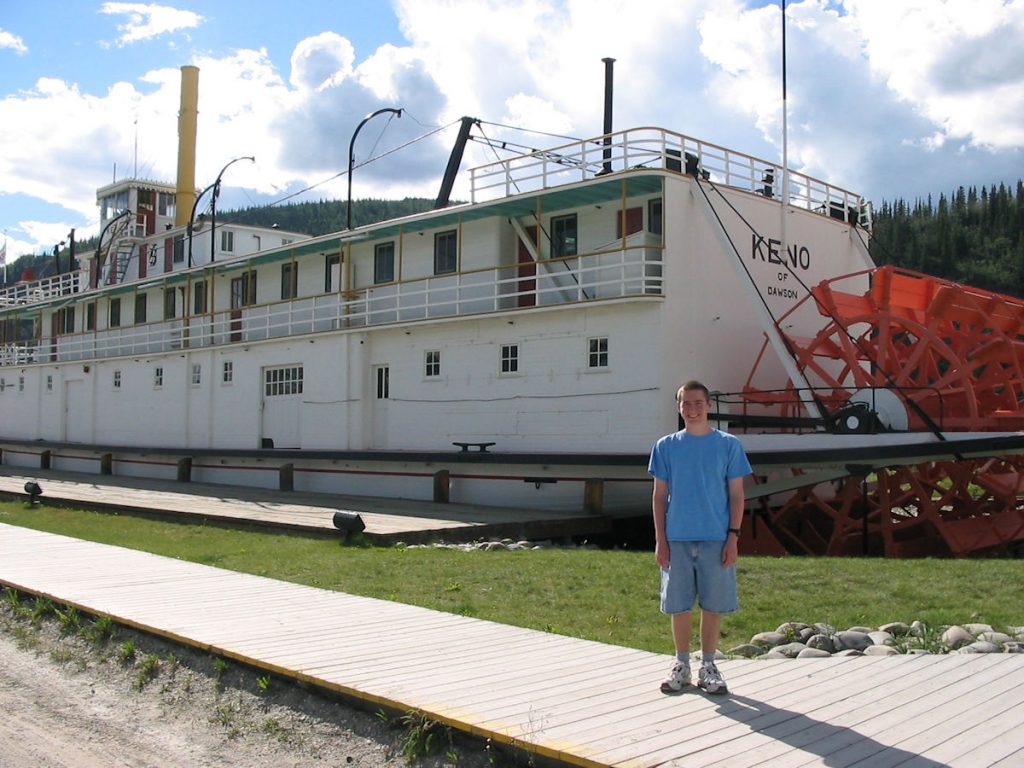
The famous paddleboat S.S. Klondike is visible on the Yukon River up ahead.
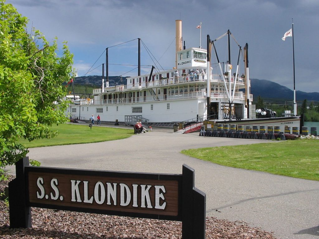
This is the S.S. Klondike “II”, a copy of the original that sank in 1936.
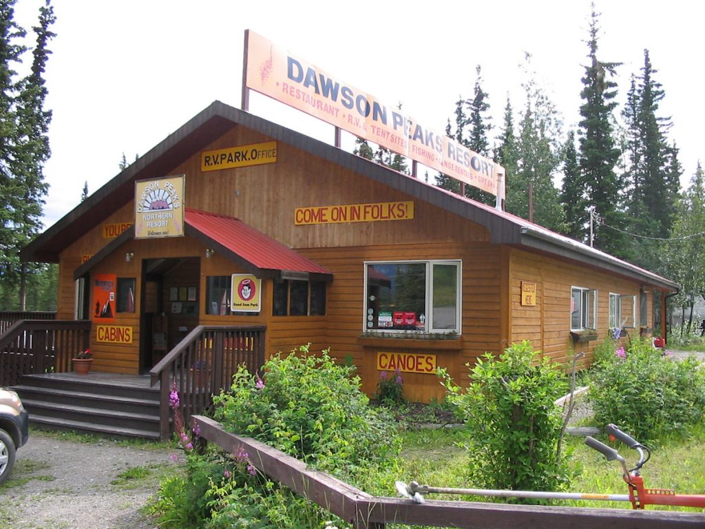
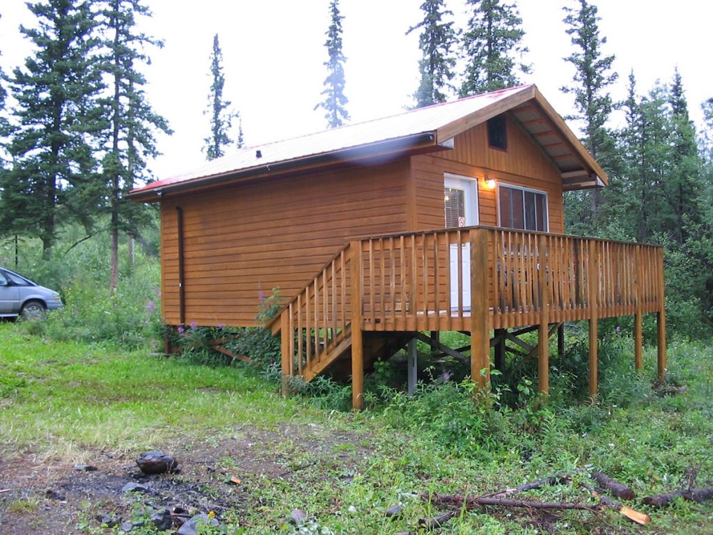
a cottage reserved at Dawson Peaks for the night.
Remember – we stayed there on the way up.
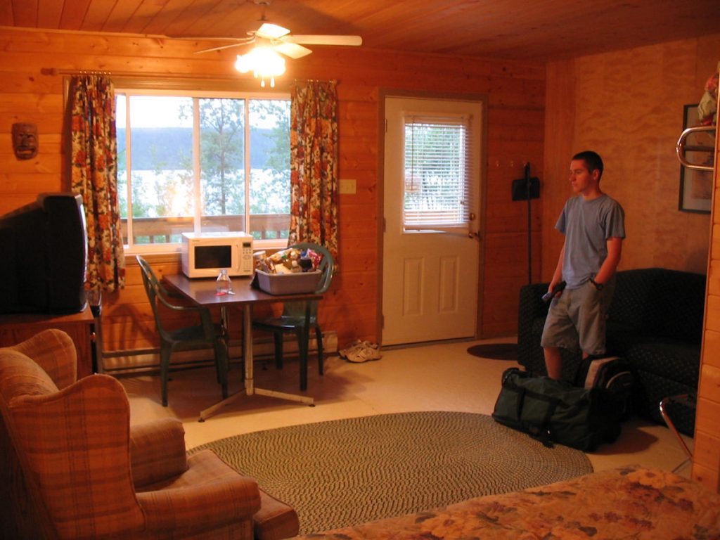
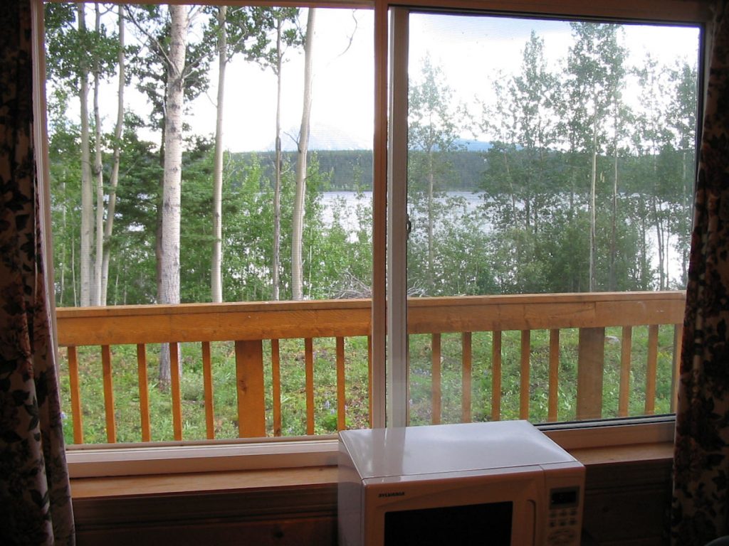
Beth did not like looking out her window and
seeing a 100-foot drop to the river.
I don’t think there’s ANY resemblance, do you???
Day 20: Friday July 20th
Teslin Lake, Yukon to Fort Nelson, British Columbia
Today 476 miles: Trip total 6,715 miles
We awoke to the sound of rain this morning. Hard rain.
Oh well, we’ve been pretty lucky up to now,
A rainy, foggy start this morning. About a half-hour into the trip, we noticed a pickup truck way down in the grass and mud, about 30 feet below the road level and about 75 feet from the road. The elderly driver had apparently fallen asleep at 5:30am and driven straight off the road and down the embankment. At least he picked a smooth place to exit the road. He said he was not injured at all, and had plenty of food and water. We said we would send help from the next town.
That next town would be Watson Lake, nearly 150 miles away. We spotted a Canadian Mountie (not on a horse, but in a new Ford Explorer) and gave him all of the details. The guy surely had a long wait for help.
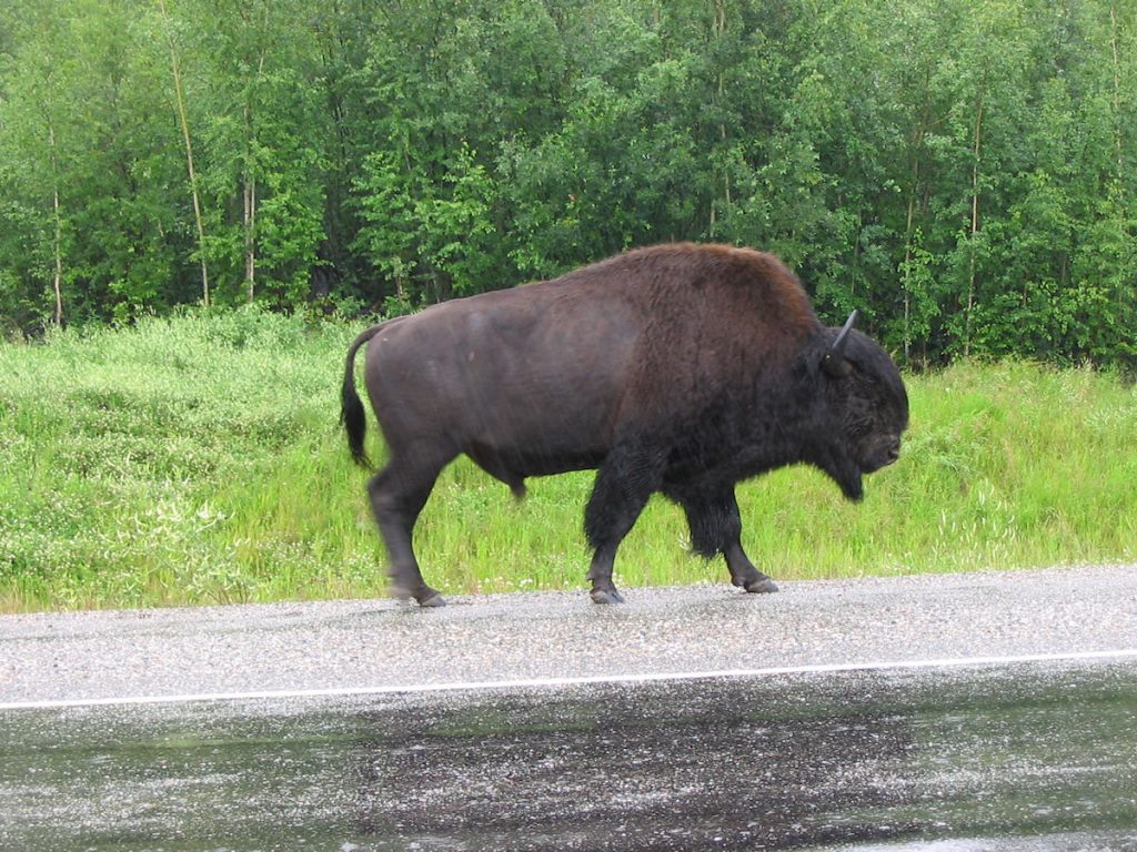
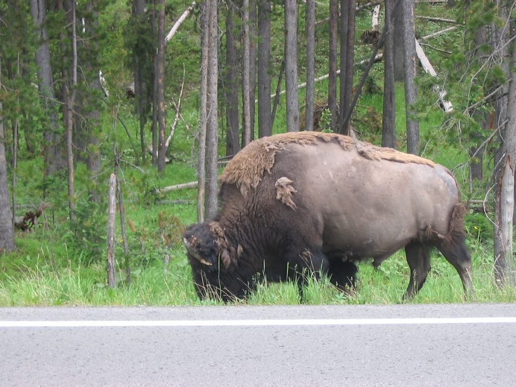
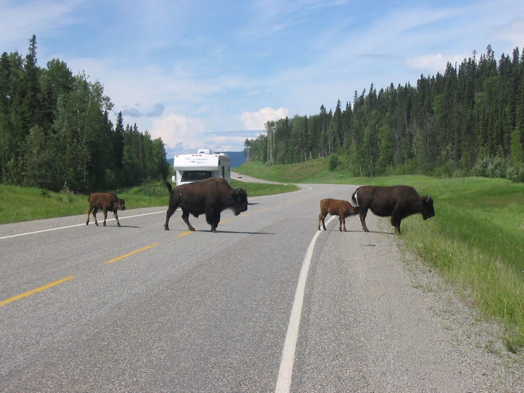
This big guy was making his way back to the herd.
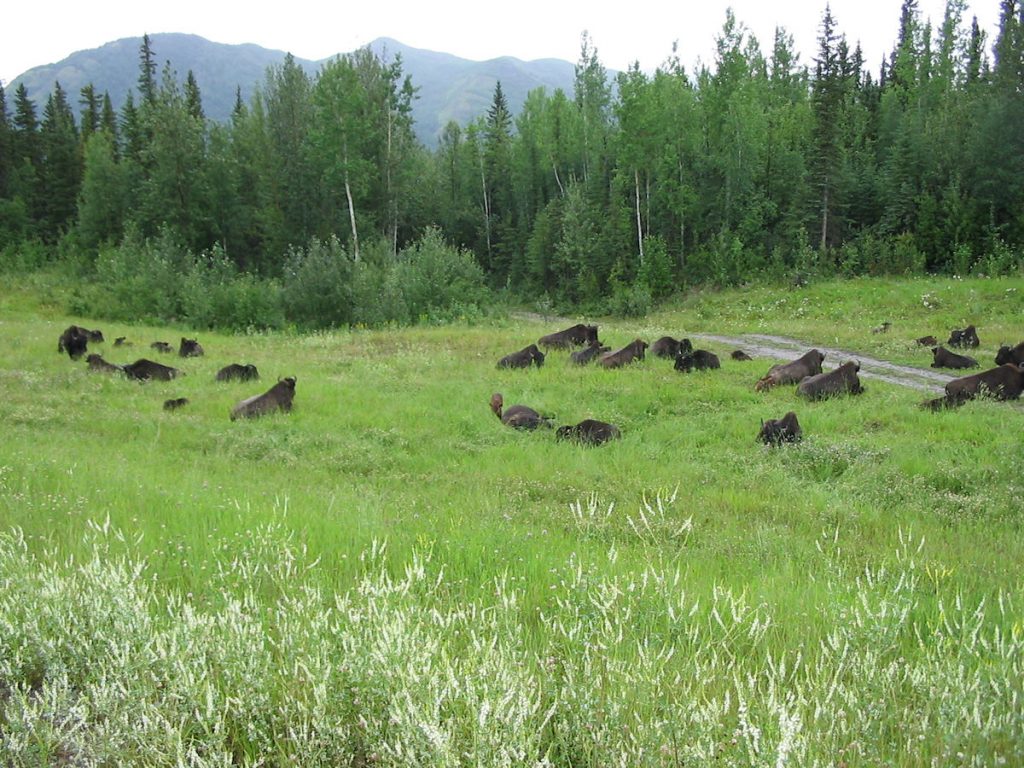
I would guess there were about 100-150. Maybe more.
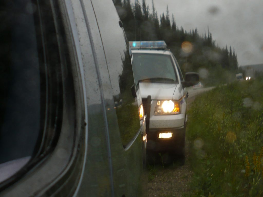
Remember the man we saw in the truck that had gone off the road 150 miles earlier?
This was the first police car we saw, so I flashed my lights and pulled over.
He turned around and pulled in behind us, and I informed him of the stranded truck.

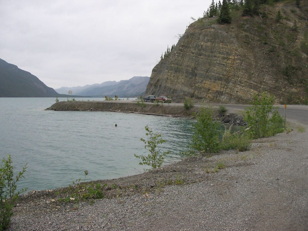
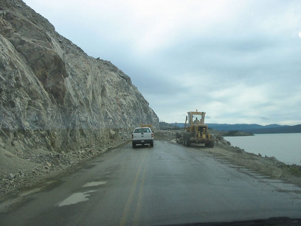
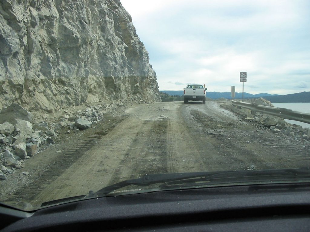
with deep water on one side of the road and rocky cliffs within arm’s reach of the other side.
The original road around Muncho Lake was high above on the cliffs.
Engineers relocated the road by the lake for safety.
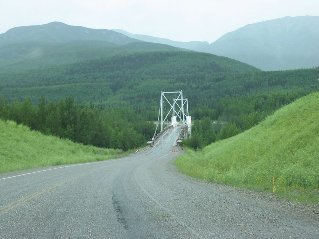
Most bridges up here use steel grates for a road surface.
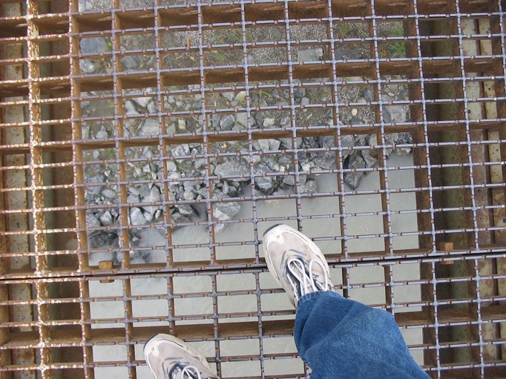
the metal grates and see a raging river a hundred feet below.
Stay on the road.
We stayed at the Woodland Inn again.
It would be our last night on the Alaska Highway.
Day 21: Saturday July 21st
Fort Nelson, British Columbia to Whitecourt, Alberta (Canada)
Today 549 miles : Trip total 7,264 miles
Dawson Creek and the southern tip of the Alaska Highway.
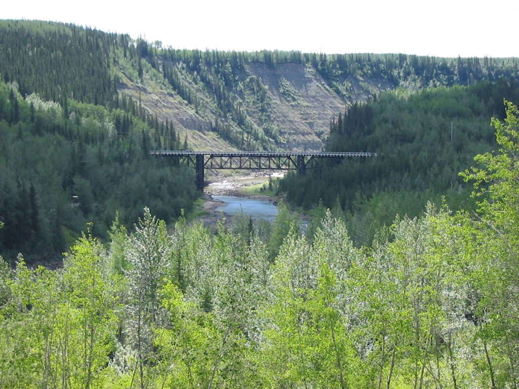
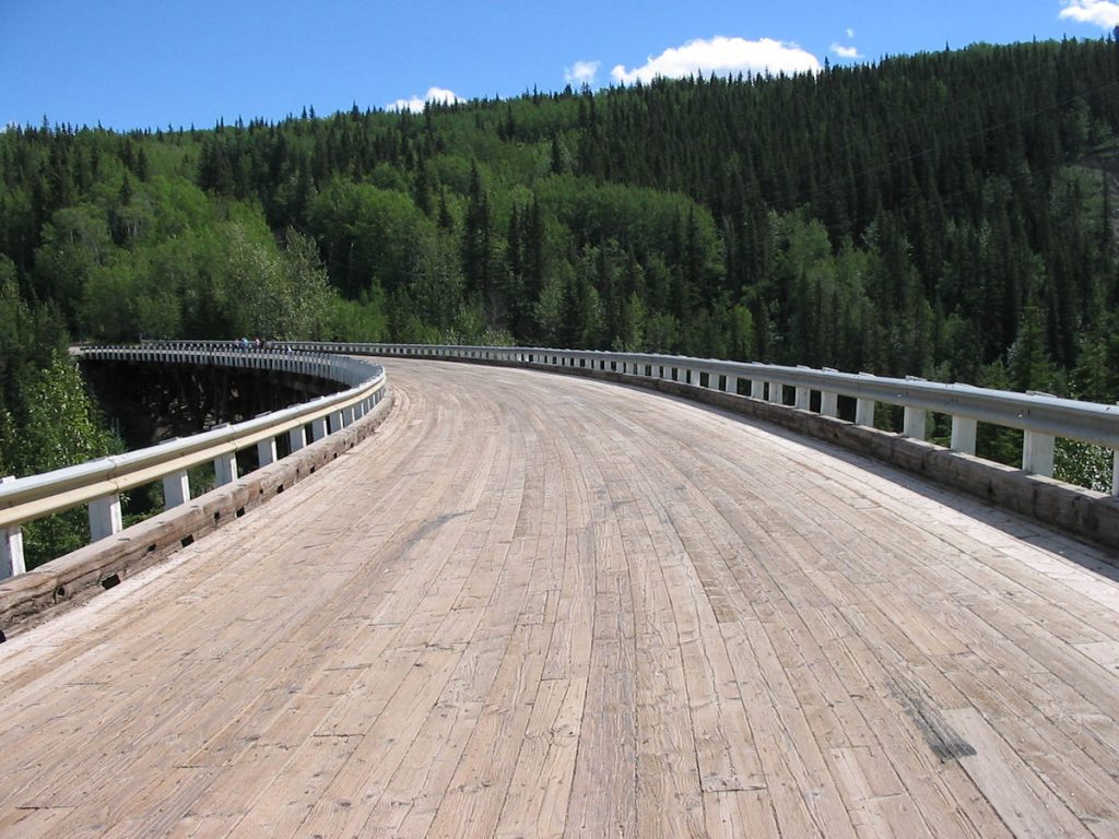
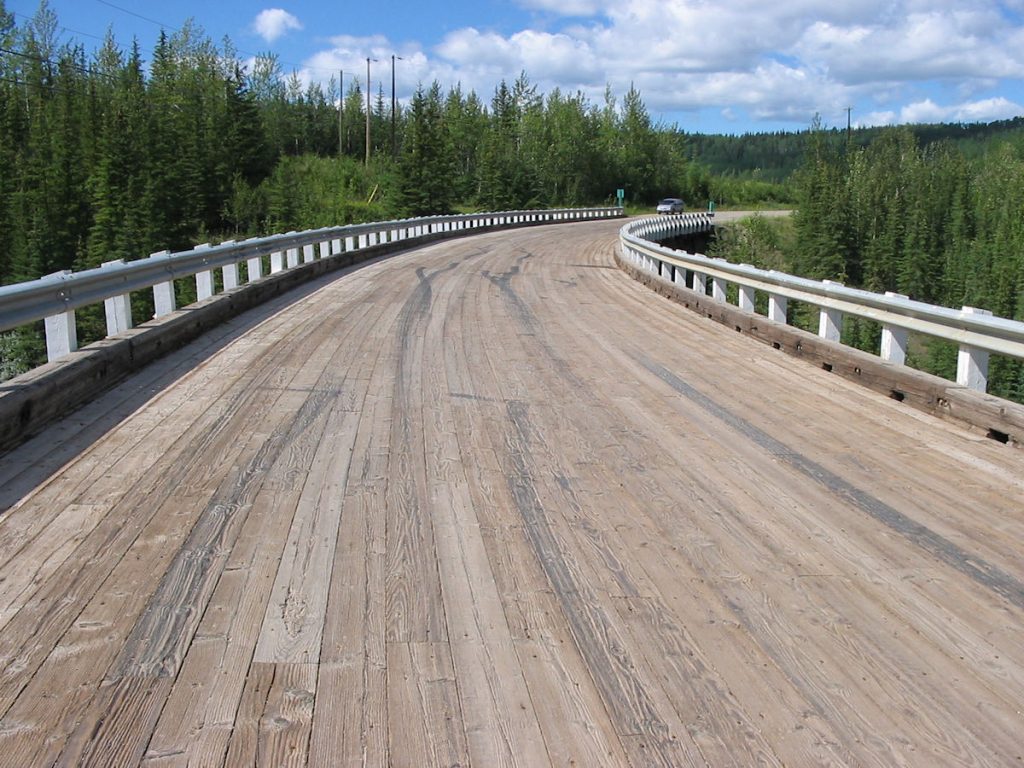
It’s a trip back in time, as it is the only original wooden structure still used.
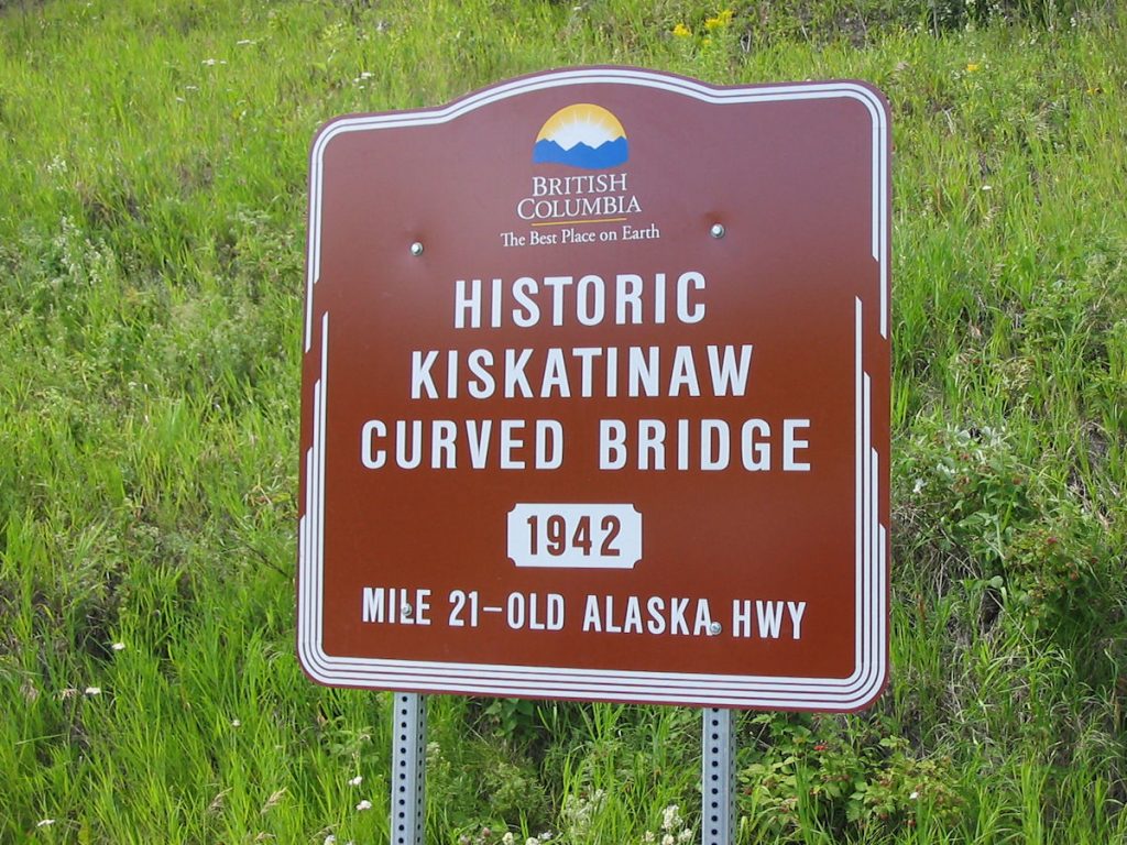
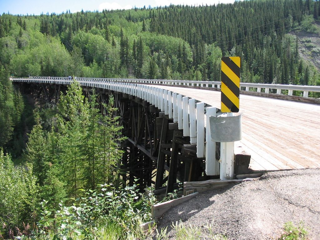
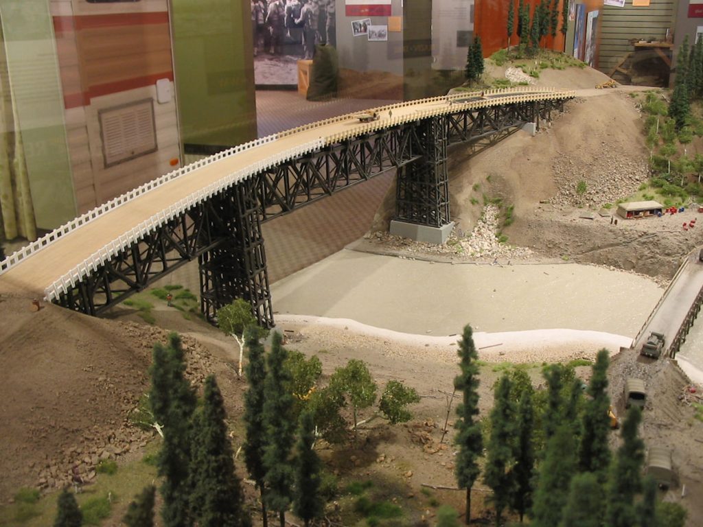
with a display of the bridge construction.
Day 22: Sunday July 22nd
Whitecourt, Alberta to Moose Jaw, Saskatchewan
Today 573 miles: Trip total 7,837 miles
A beautiful day. We left Whitecourt early, after a great breakfast in the hotel,
and headed east through Edmonton and on to Saskatchewan.
I thought it would be rugged forests and mountains.
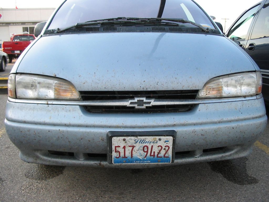
This is after a day of hard rain washed off many bugs back by Teslin Lake.
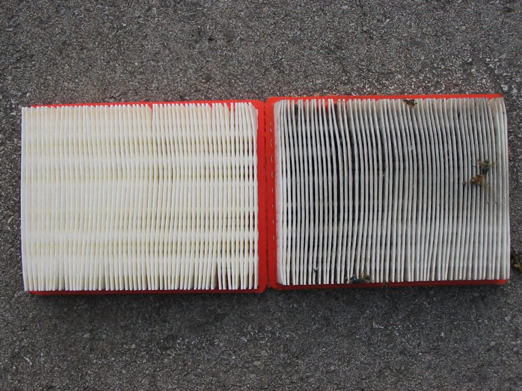
I had just replaced the filter before we left on the trip. It got this dirty just 3 weeks.
Nice bugs, too!!
Day 23: Monday July 23rd
Moose Jaw, Saskatchewan to Camp Ripley, Minnesota
Today 700 miles: Trip total 8,537 miles
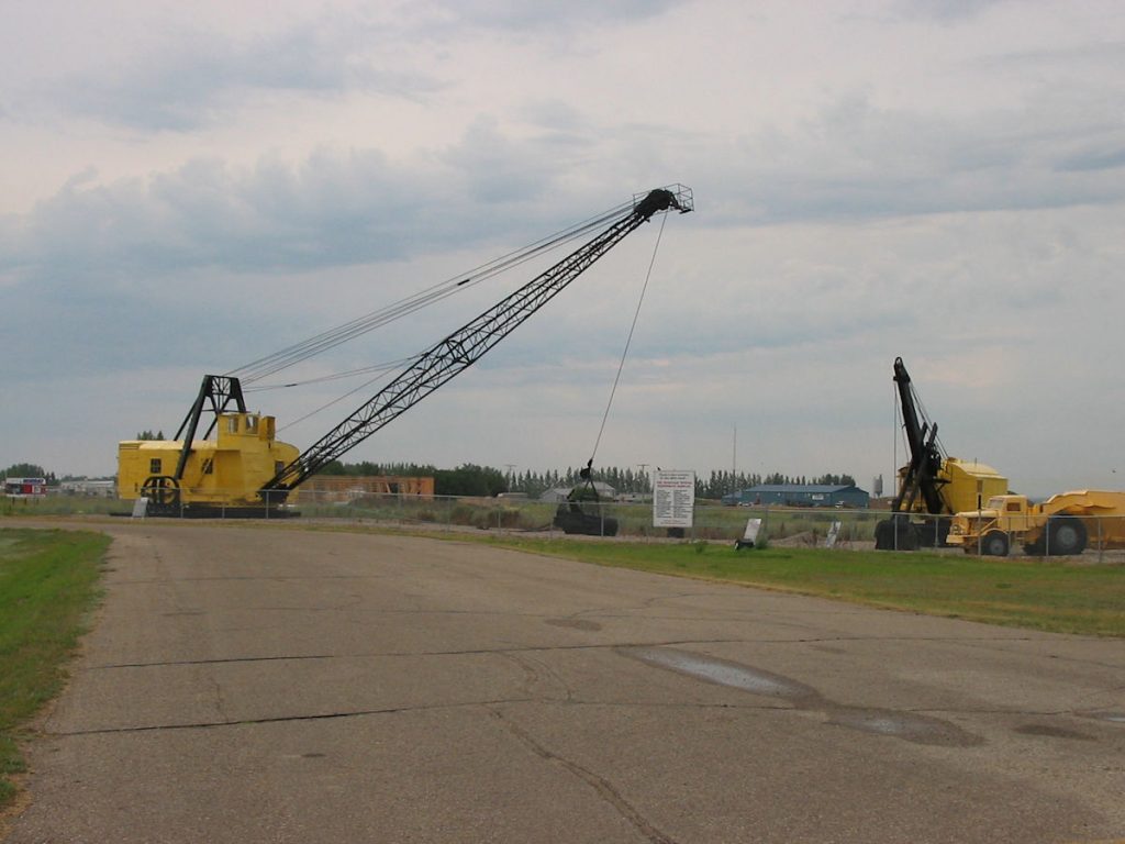
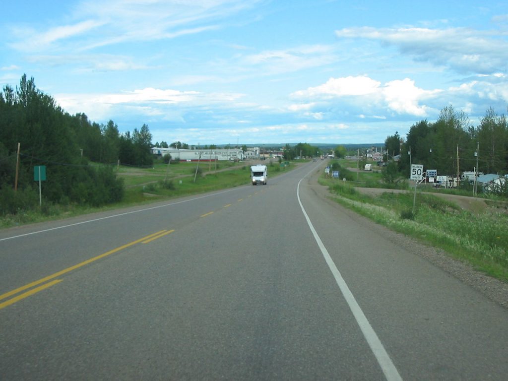
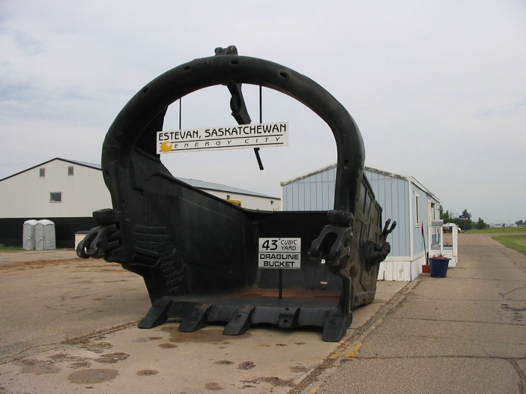
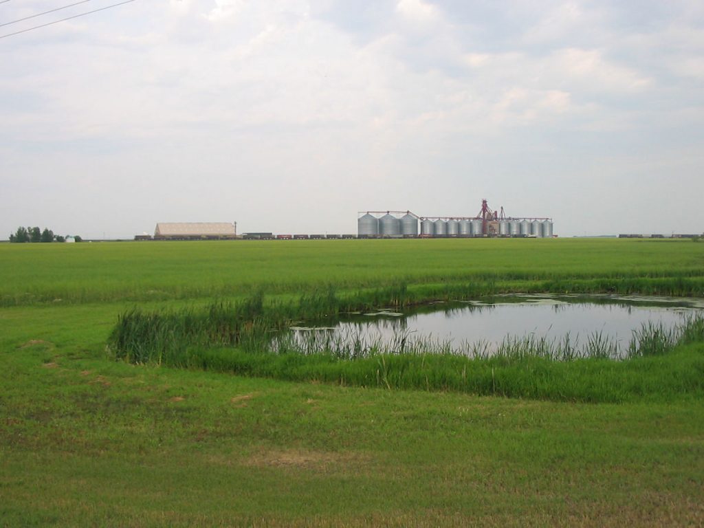
It is the self-proclaimed “Energy Capital of Canada”, producing enough coal to export to other countries.
This old mining equipment is on display at a local information center.
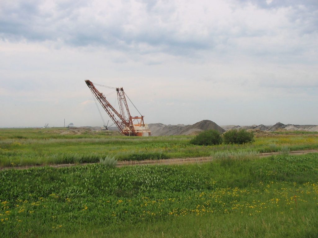
where there used to be farmland and prairie.
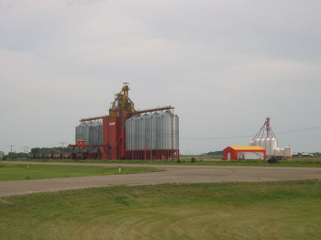
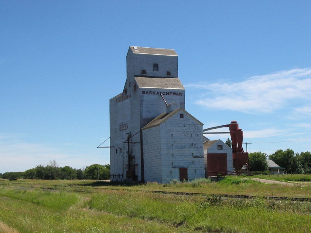
These grain towers are full, ready to unload onto passing rail cars.
BACK IN THE USA!!!
Beautiful country!
we called ahead to Camp Ripley, Minnesota, about 100 miles northwest of Minneapolis/St Paul.
We ended up with this beautifully furnished, 4-bedroom home for $41.00.
It was a nice change after some of the rustic places we had stayed in.
Day 24: Tuesday July 24th
Camp Ripley, Minnesota to Union Grove, Wisconsin
Today 461 miles : Trip total 8,998 miles
We decided to head over to Beth’s home in Wisconsin since the county fair was this week. It would be a good chance to see a lot of people in a short period of time. The weather was great, and we were a couple of days ahead of schedule. We arrived at her parents’ home late afternoon.
Day 25 – 29: Union Grove, Wisconsin
The next day, Beth and Spencer drove over to the fair (about 10 miles away) in the afternoon. About 3:00, Beth called me and said the van suddenly would not go over 25mph. She was only a mile away, and made it home. When I checked it out, it appeared there was a serious transmission problem. I limped it down the road a few miles to the local Chevrolet dealer, and they confirmed my worst fears – the transmission was completely shot. The repair would be about $2,500.00 – $3,000.00. The van is 11 years old and has 139,000 miles on it, so we decided it just wasn’t worth it. We have two other cars – one has 129,000 miles and the other “new” one has 98,000 miles. Do we need 3 old cars? No. So, we sold it to a local mechanic who repaired it and later sold it to a single mom who needed a car. Bad news, though. A few weeks later, the van was stolen when she drove up into Milwaukee. This van sure had an exciting life!
Looking back, it was a real blessing the van did not break down up in the Yukon on a desolate stretch of road.
There were places where it was 150 miles to the nearest “town”. That would not have been a good situation.
We rented a car over the weekend and drove down to Illinois to bring back one of our other cars.
We took half of the stuff home in the rental car, then the rest when we returned home on Monday.
Day 30: Monday July 30th
Union Grove, Wisconsin to Mascoutah, Illinois (HOME!!)
Today 350 miles : Trip total 9,348 miles
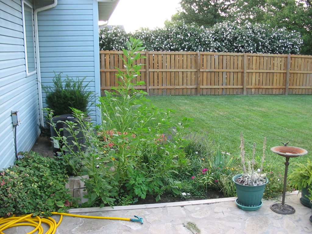
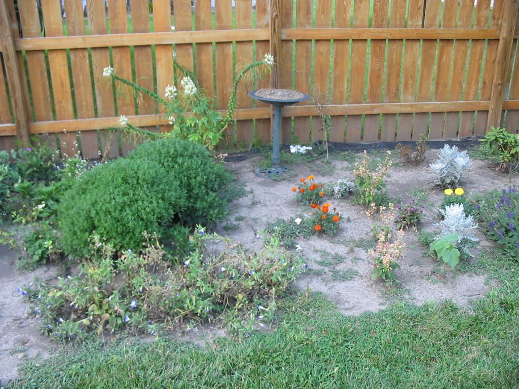
It was GREAT to be home!! After living in hotel rooms for a month, the house seems HUGE! It has been very hot and dry here, so the yard and gardens were in bad shape. We had to laugh – there was one huge weed growing just outside our back door. It was about 6 feet tall, and had a root so deep I had to dig it out with a shovel. The neighbors had been getting tomatoes from our garden (like we had asked them to), but we still had a few almost ready to eat. Everything was fine in the house, and soon we were back to our normal routines.
Summary: Overall, a great trip!! The first few days, we wondered if we bit off more than we could chew, but we took time to rest after long days of driving, and tried not to overdo it. It wasn’t easy being cooped up together in the van for 9,400 miles, but we still had a good time, and have many great memories to carry with us. It was nice to see Alaska, but we did not feel the huge rush of emotions we thought we might when we drove into Anchorage. Many things have changed, and life goes on. We are happy in Illinois, and do not regret leaving Alaska. If had stayed, we would have missed the opportunity to live in Germany for 3 years. No matter where life takes you, things work out.
Hope you enjoyed the travelogue and pictures.
Mike, Beth, and Spencer