
Great Smoky Mountains National Park
Cade’s Cove – Roaring Fork Motor Nature Trail – Foothills Parkway
We awoke Thursday morning to a steady rain. Rather than chicken out and hide in the room, we finished our breakfast and reached the park entrance shortly after 7am. We decided to visit the Cade’s Cove area today, and save the Clingman’s Dome overlook for tomorrow since it was foggy and drizzling rain.
After entering the park, we turned right at the Sugarlands Visitor Center (which doesn’t open until 9am). From there, it is a very scenic 20 mile drive along Fighting Creek, past several tunnels and waterfalls. At Cade’s Cove, there is a 1-lane, 1-way loop appx 10 miles around with nice scenery (half of which was not visible due to the fog and rain, but still nice) and occasional wildlife.
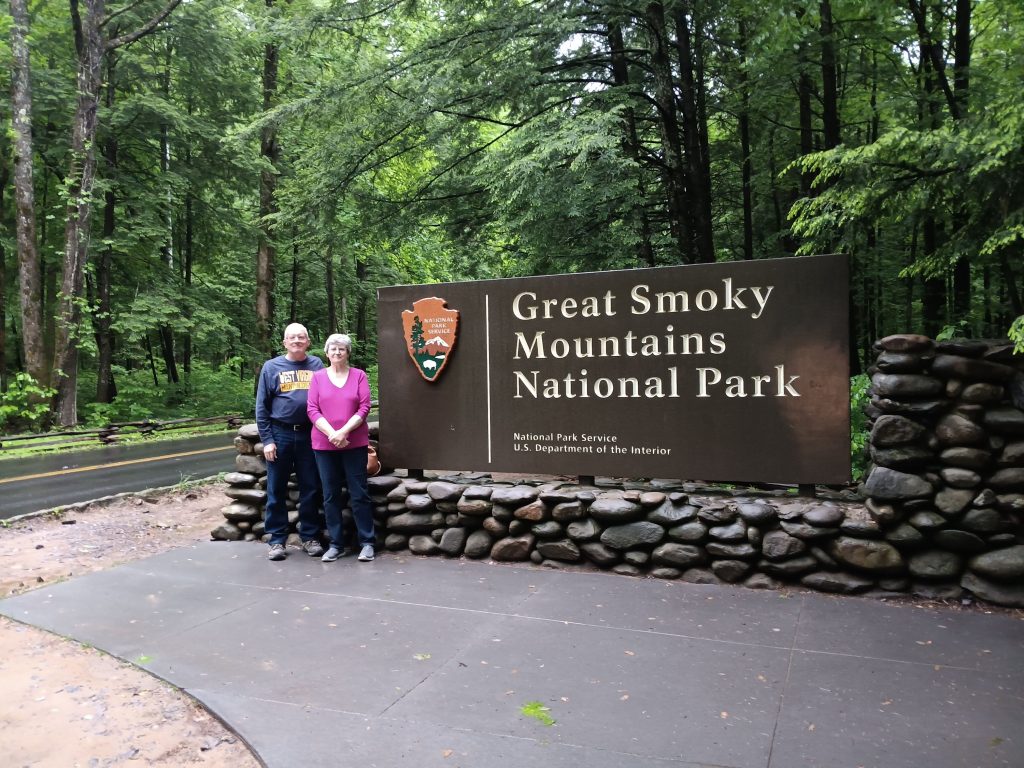
Welcome to the Great Smoky Mountains National Park
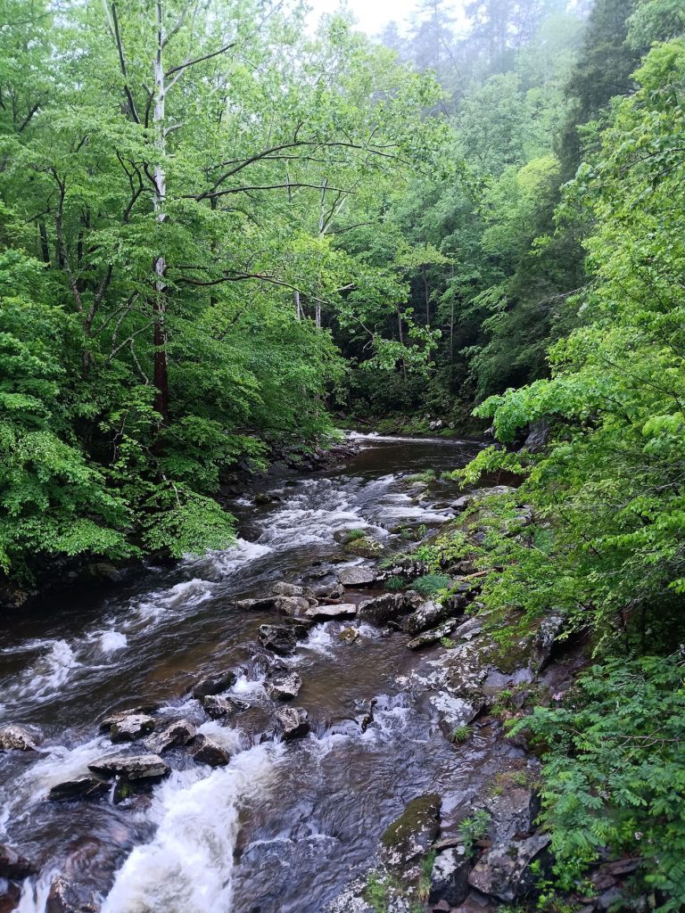
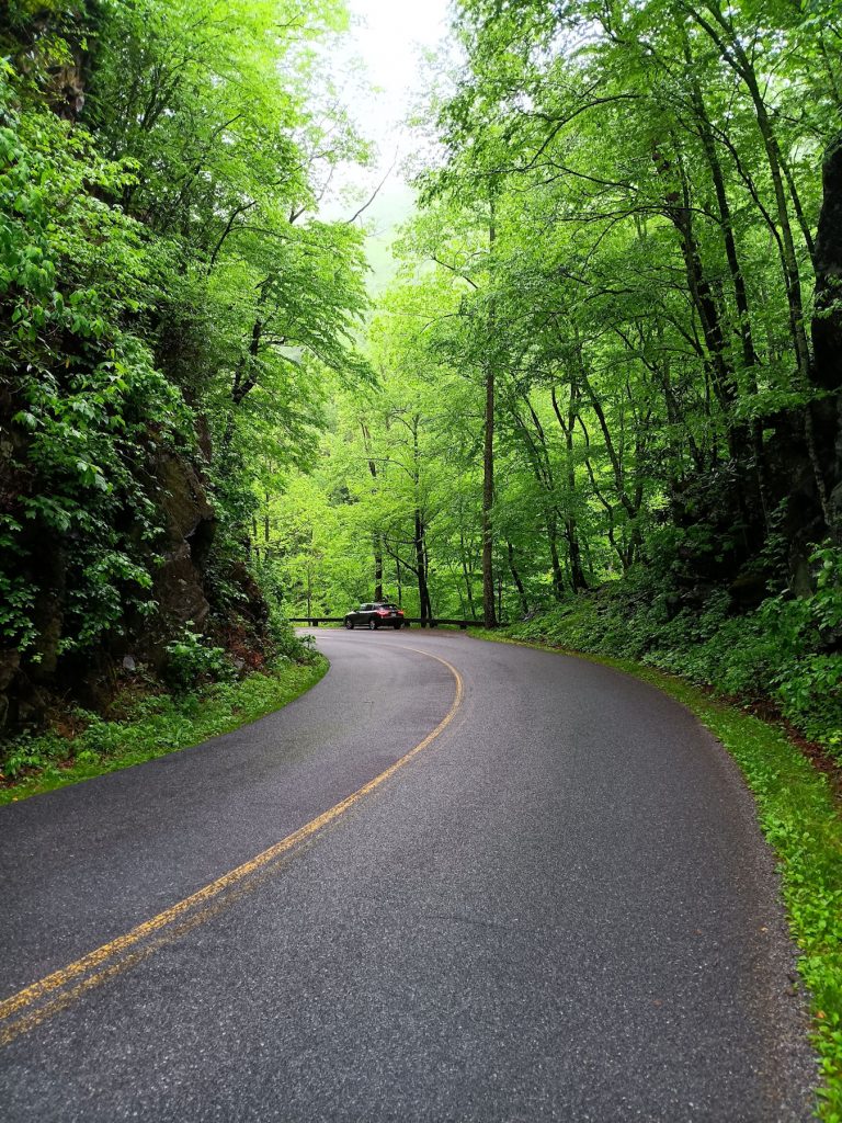
There was not much traffic at 7:30am, so we got to stop and enjoy the nice views along Fighting Creek Road.
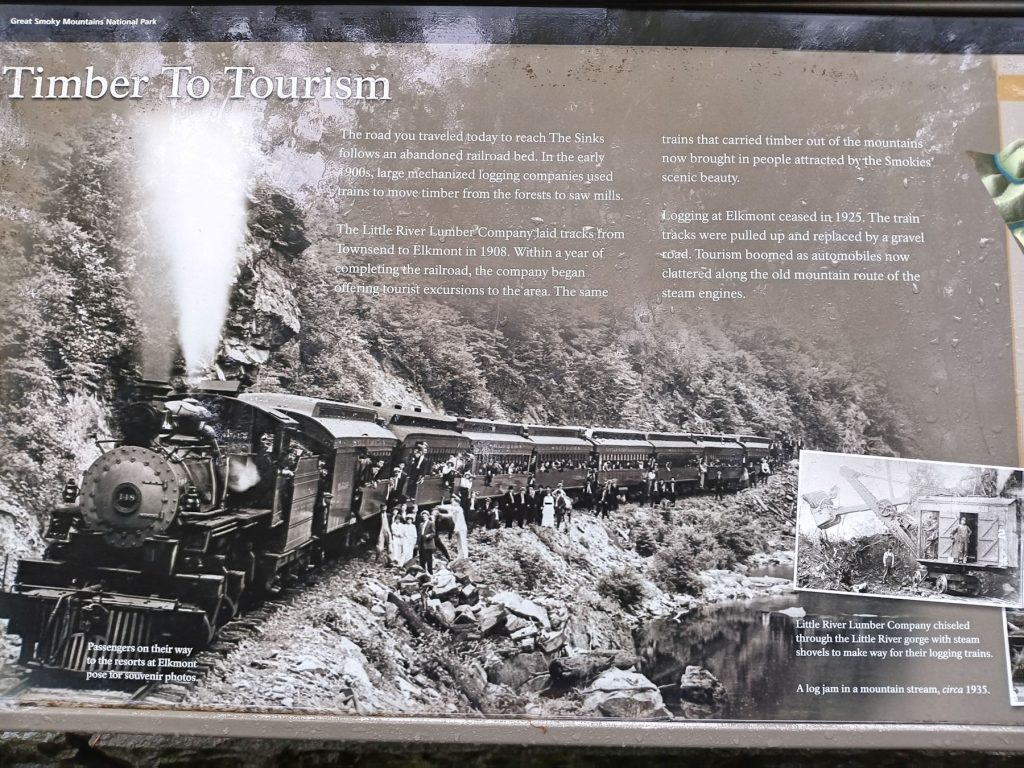
Short history lesson – The road we are traveling on was once a railroad track used to haul lumber out of the area. After logging ended in 1925, the tracks were removed and automobile traffic began the tourism industry.
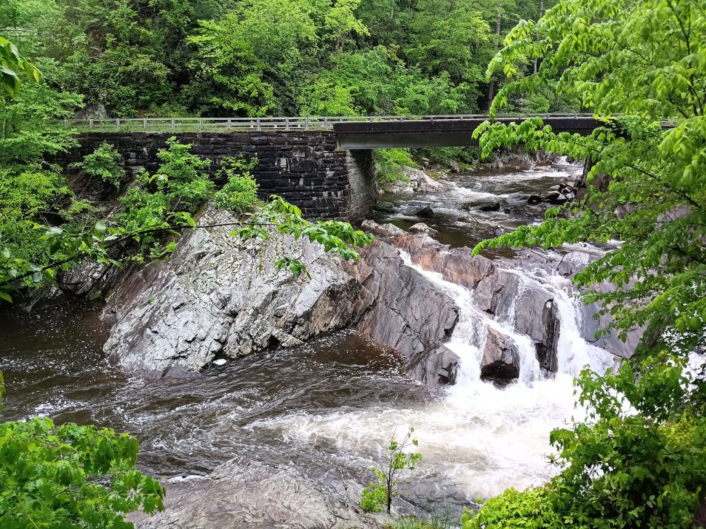
“The Sinks” is a waterfall that was created when loggers used dynamite to free a large log jam.
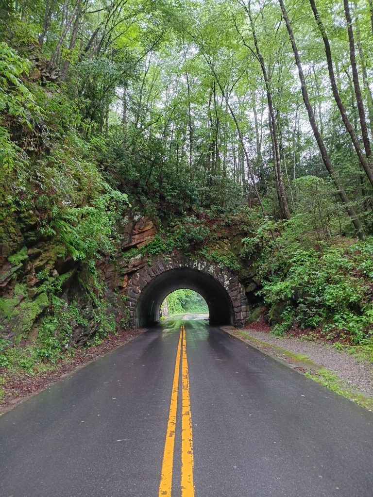
This tunnel is one of several in the GSMNP.
Many were built by the Civilian Conservation Corps (CCC) during the depression.

At Cade’s Cove, we began the 10-mile loop. On a clear day, the high mountains are visible above the trees to the left.
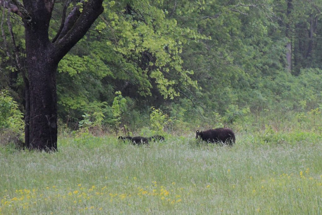
Less than a mile into the loop, we spotted our first wildlife, a mama bear and three cubs. It looks like mama has an ear tag.
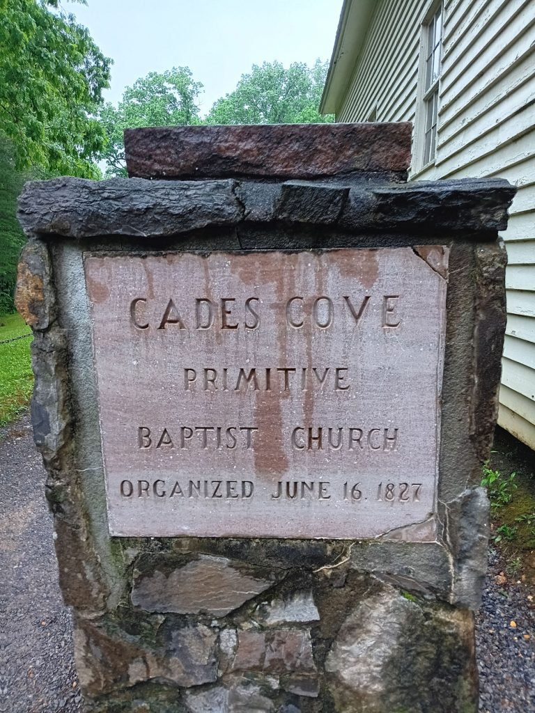
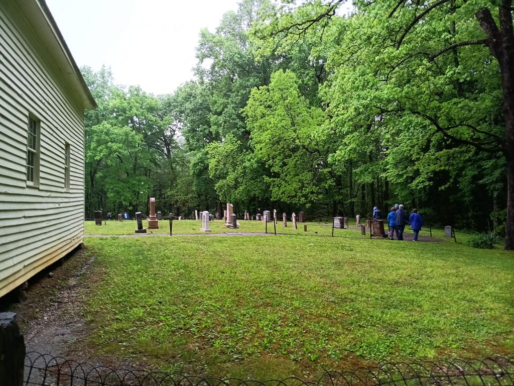
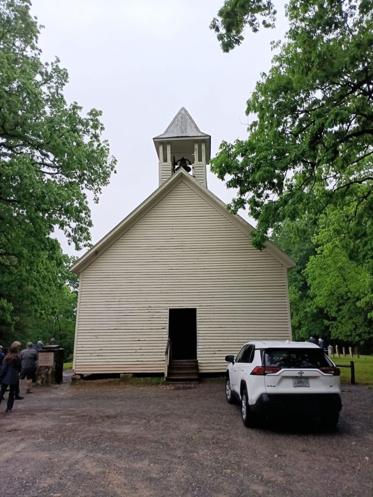
There were several old homes and churches along the loop.
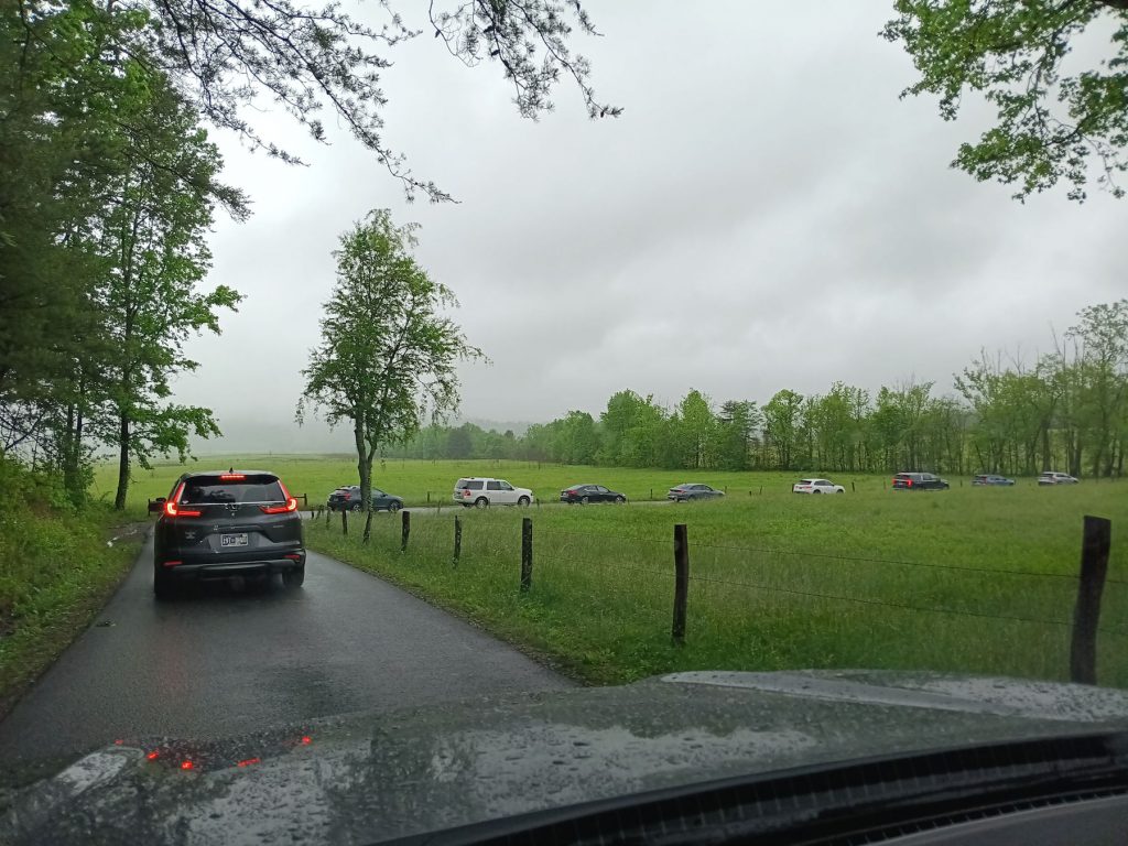
By this time (8:30am), traffic was getting thicker. I’d hate to see it in the summertime or holiday weekend.
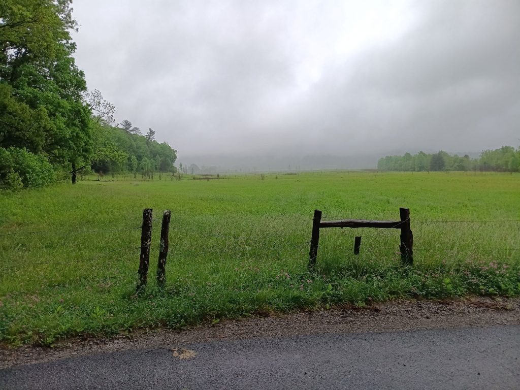
Nice view of some fields in the morning fog. On a clear day, the mountains would be towering above the trees in the background.
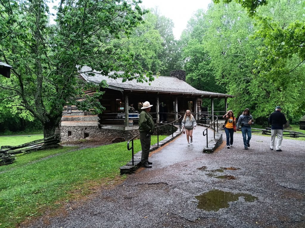
Soon, we were at the Cade’s Cove Visitor Center and Cable Mill area.
We remembered to get our National Parks Passport stamped.
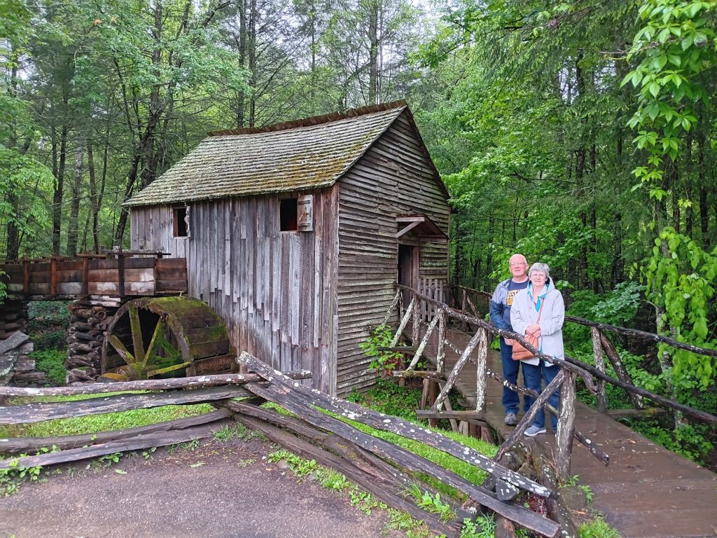
We walked around and explored the Cable Mill behind the visitor center.
The mill at Babcock State Park in West Virginia is just as scenic.
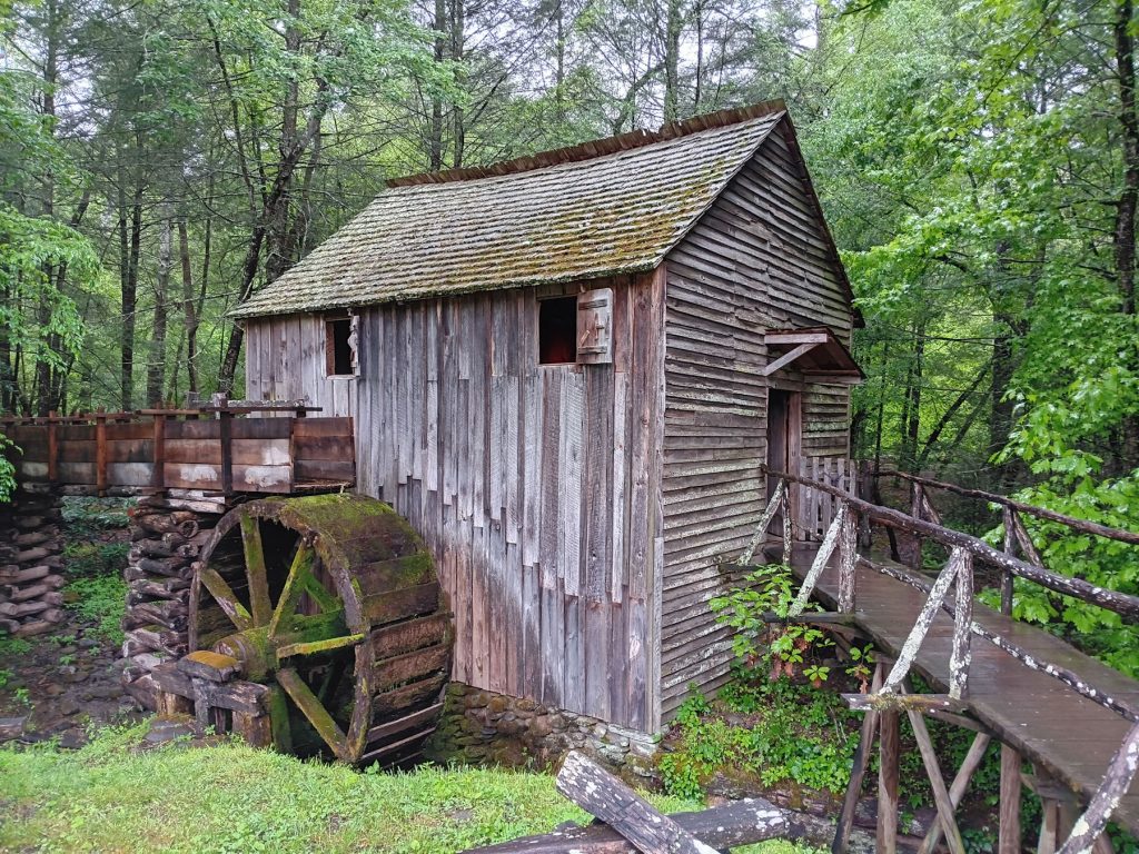
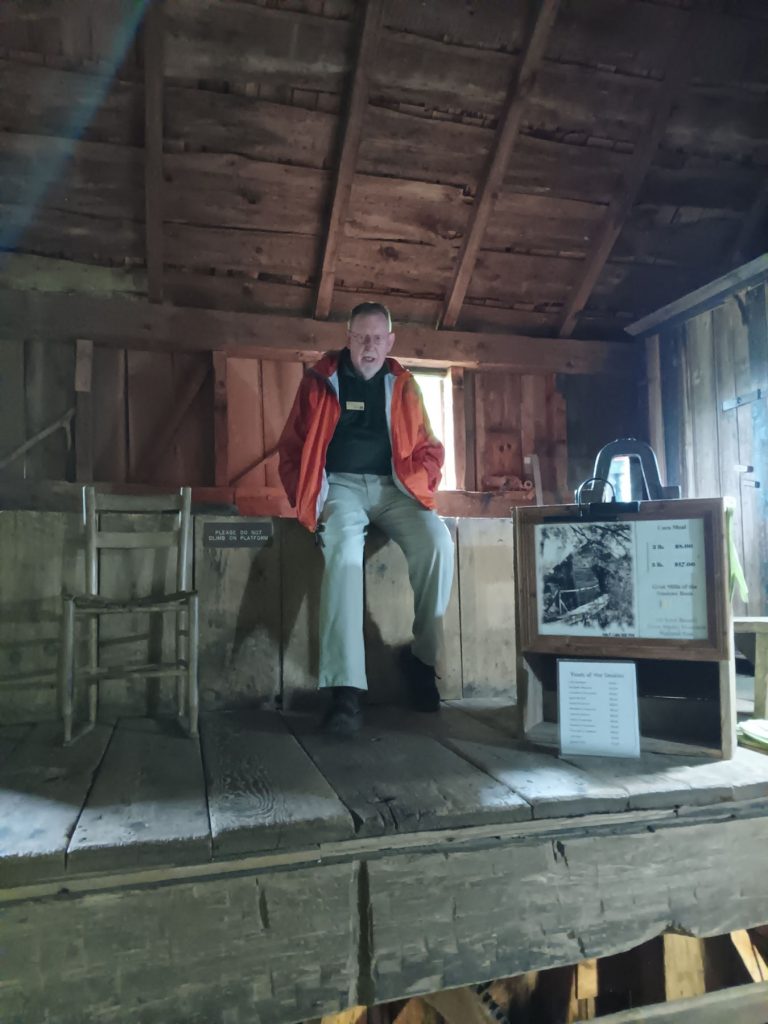
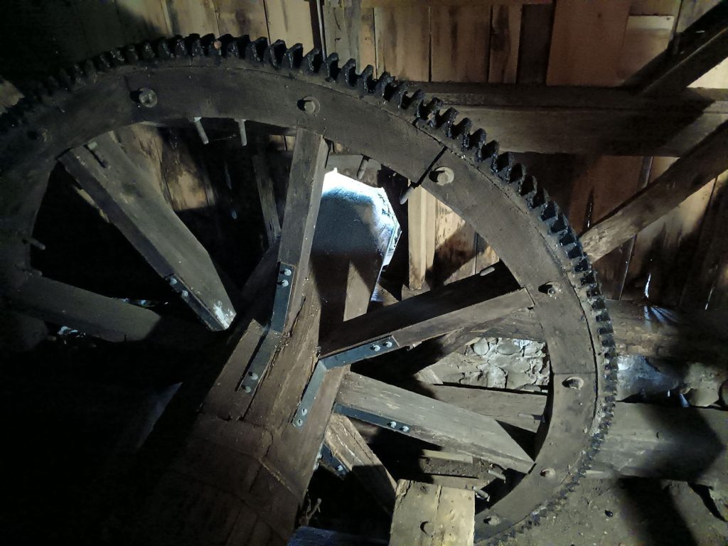
The gentleman in the mill gave a nice explanation of how everything worked.
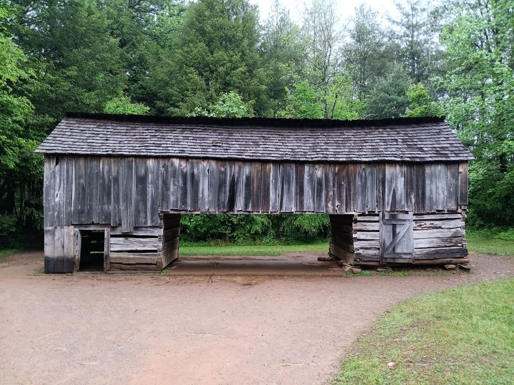

We also explored some of the out-buildings near the mill.
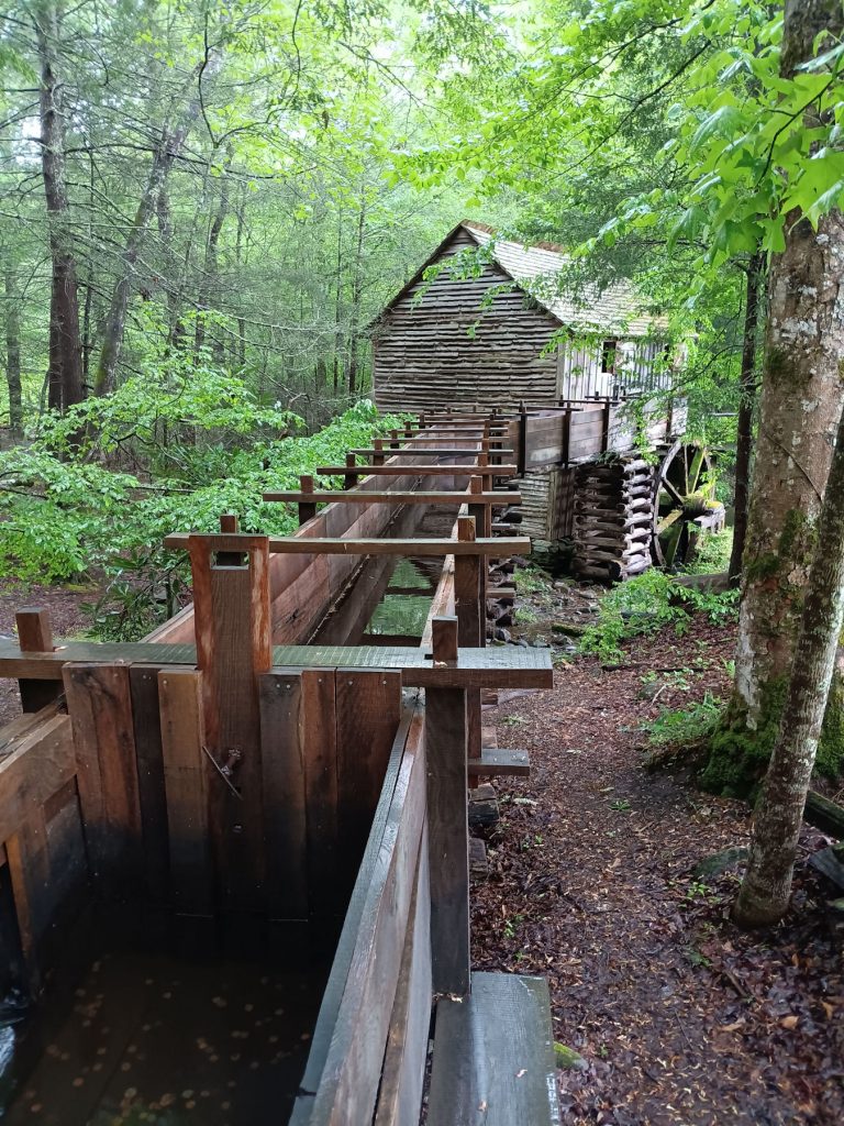
This sluice directed water from the stream onto the paddle wheel at the mill.
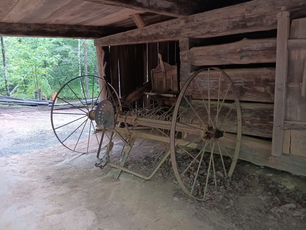
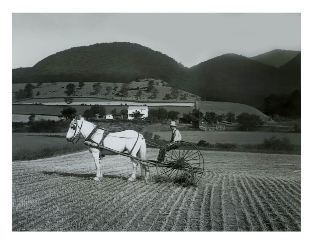
This old rake reminded me of the one my grandfather used on his farm in Petersburg WV up until the 1980s.
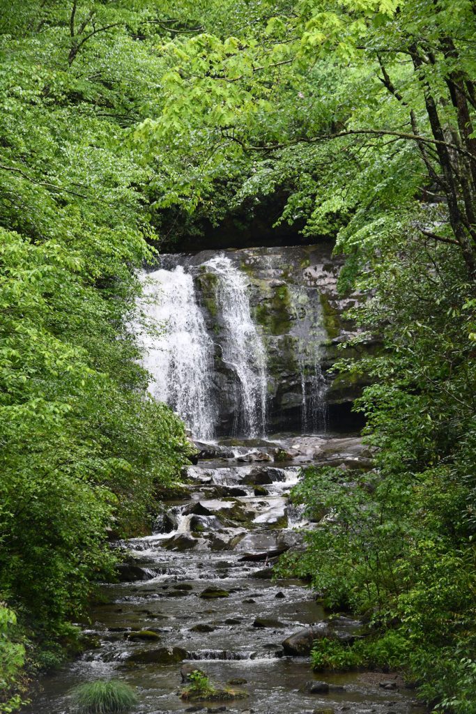
After finishing the Cade’s Cove loop, we headed back toward the Sugarlands Visitor Center.
We spotted this waterfall along the way.
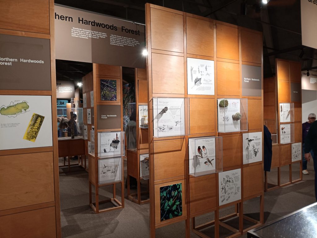
Back at the Sugarlands Visitor Center, we toured the nature museum inside that describes a lot of the plants and animals in the park.
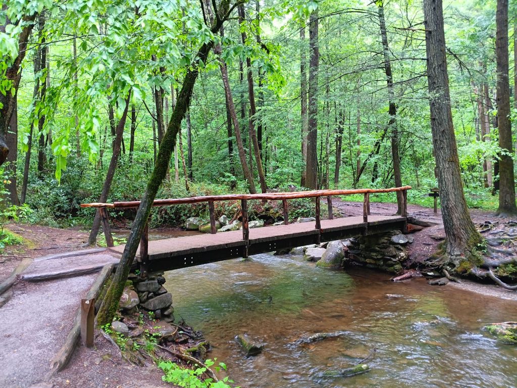
Behind the Sugarlands Visitor Center, we hiked the 1/2 mile path to Catarac Falls.
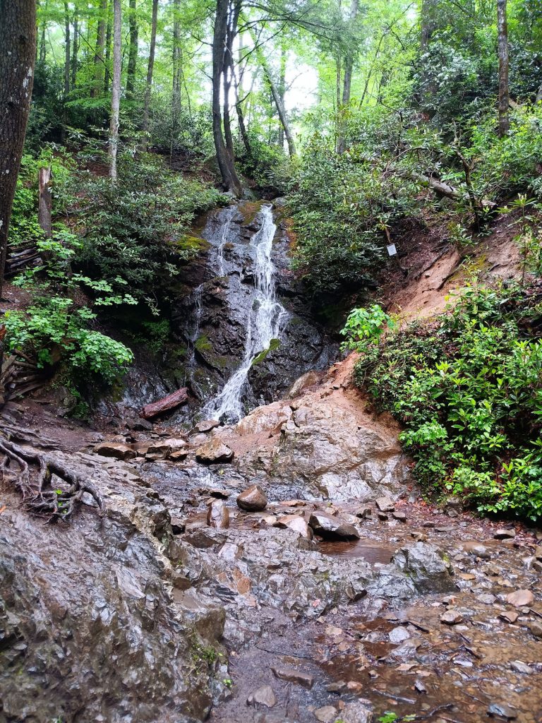
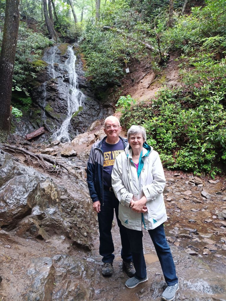
Catarac Falls with and without the amazingly youthful and energetic couple.
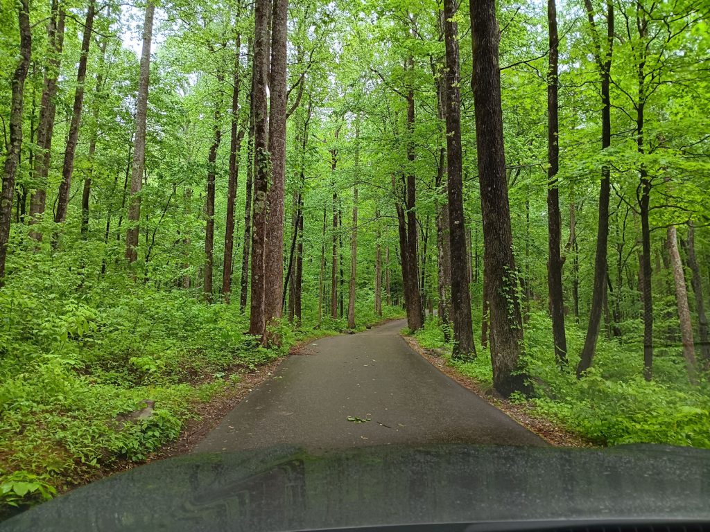
Next, we drove over to near the Gatlinburg entrance to drive the 10-mile Roaring Fork Motor Nature Trail.
Most of it is one-lane and tight curves. RVs and campers need not apply.
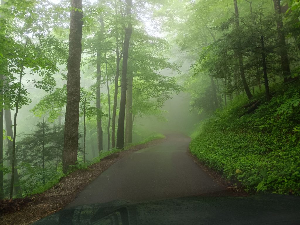
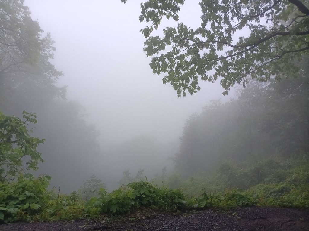
As we climbed the mountain, the fog got thicker and thicker. Soon, it cleared somewhat. Still, it was an enjoyable drive.
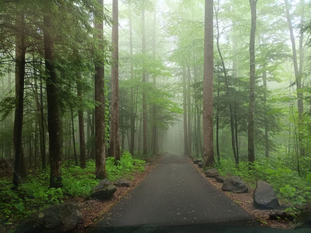
The light fog made it a very ethereal setting. It was very quiet, with the stream and small waterfalls providing the only soundtrack.
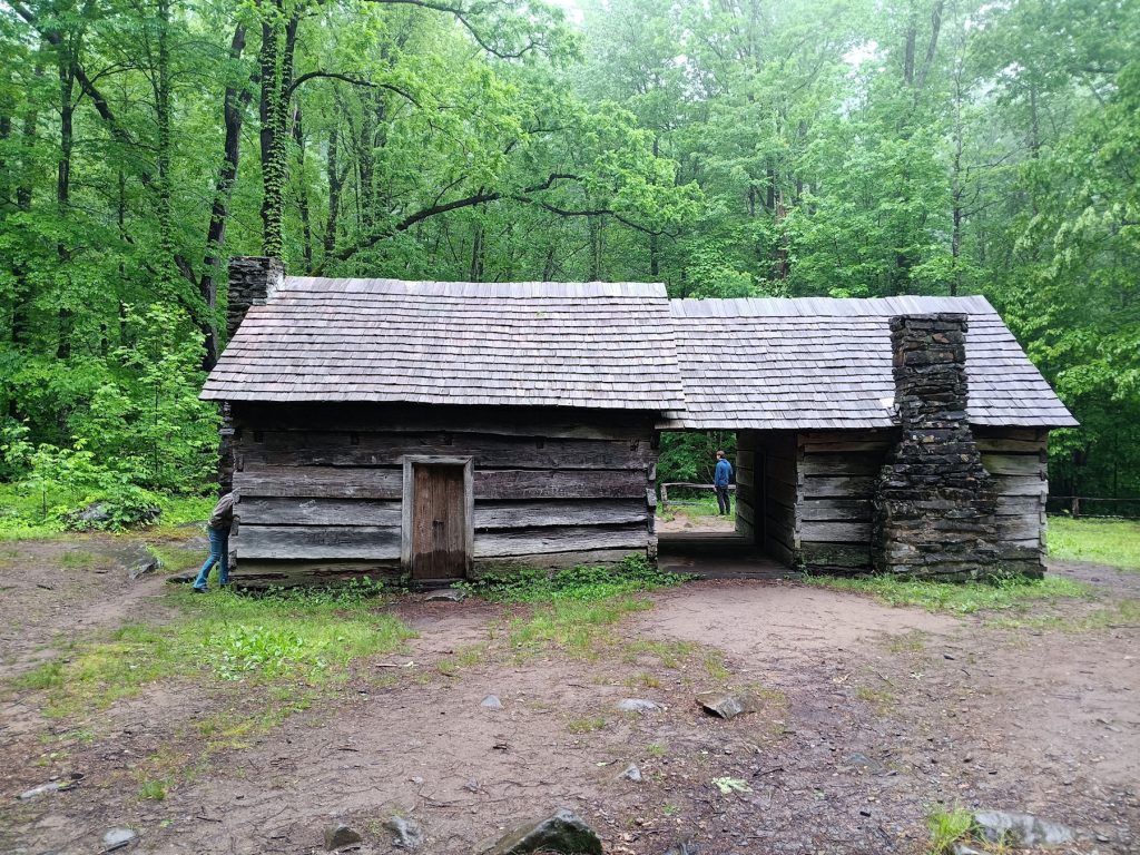
We stopped to explore the Ephraim Bales homestead. They raised 9 children in this home.
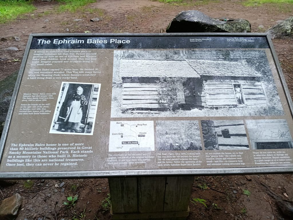
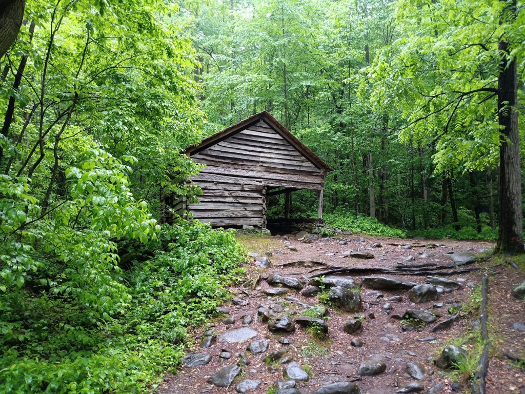
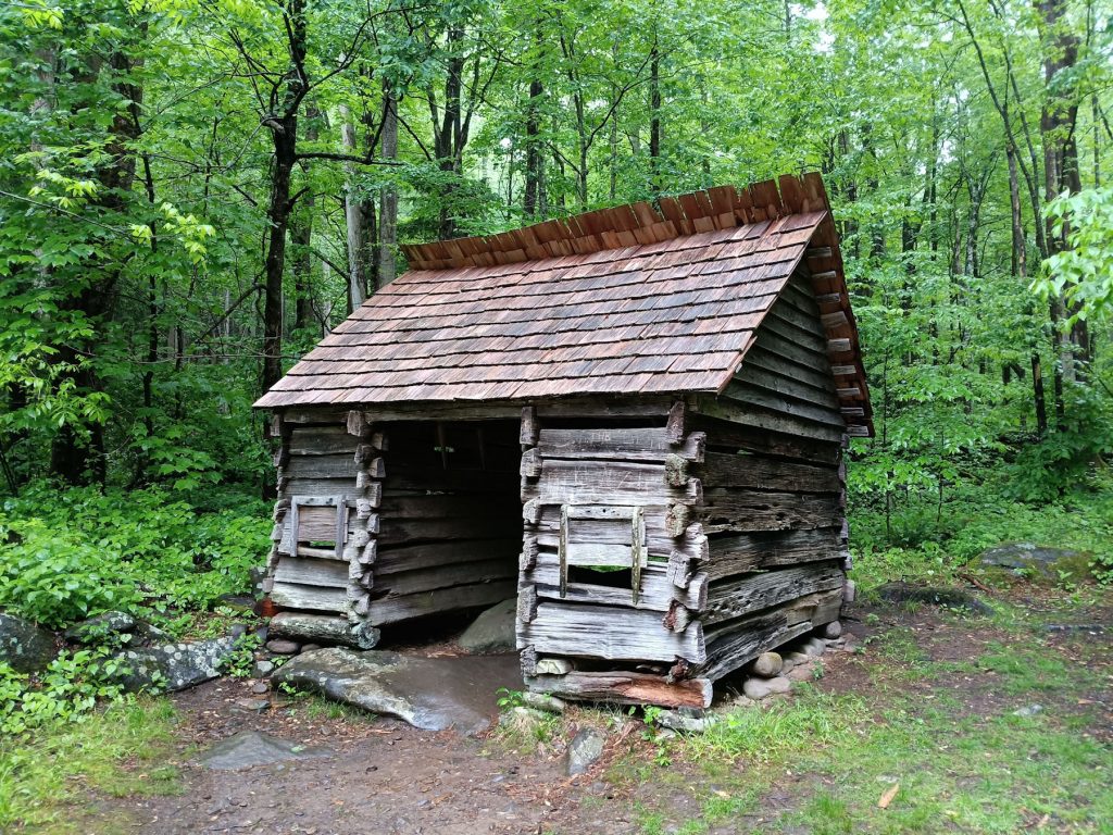
The barn (left) and corn crib (right) at the Ephraim homestead.
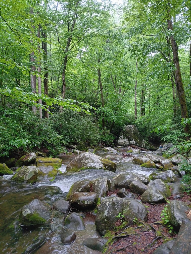
This stream behind the Ephraim homestead provided plenty of fresh water.
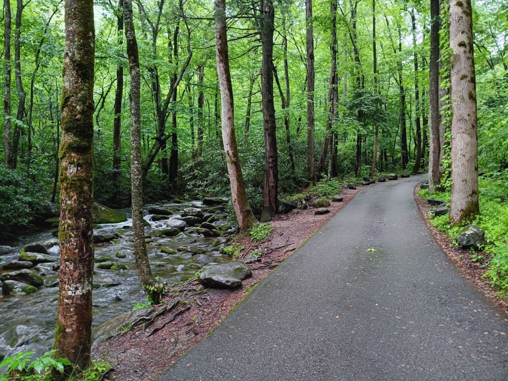
We continued following the Roaring Fork. What a beautiful drive!!
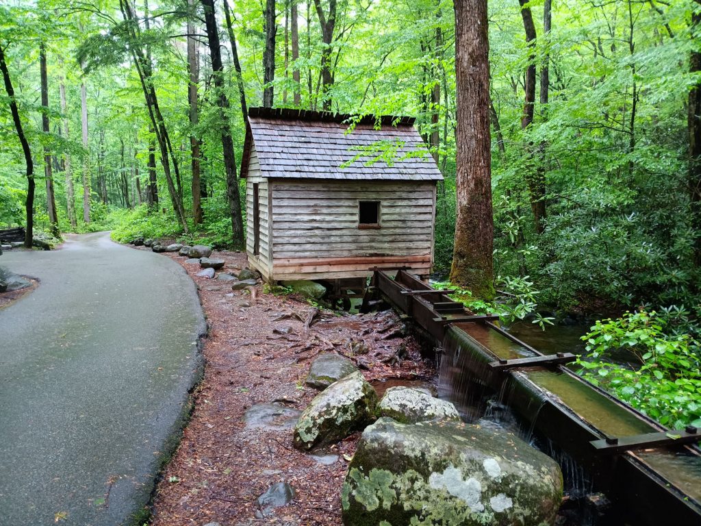
Soon, we came upon another mill, powered by the Roaring Fork stream.

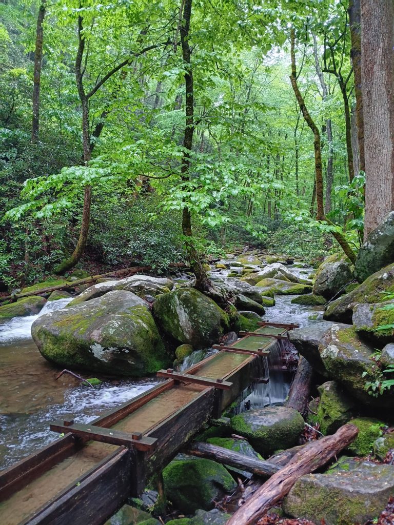
View inside the mill and the sluice above the mill directing water onto the grinding wheel mechanism.
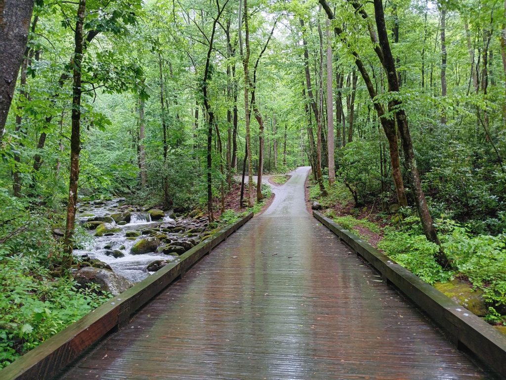
Another scenic spot along the Roaring Fork Motor Nature Trail.
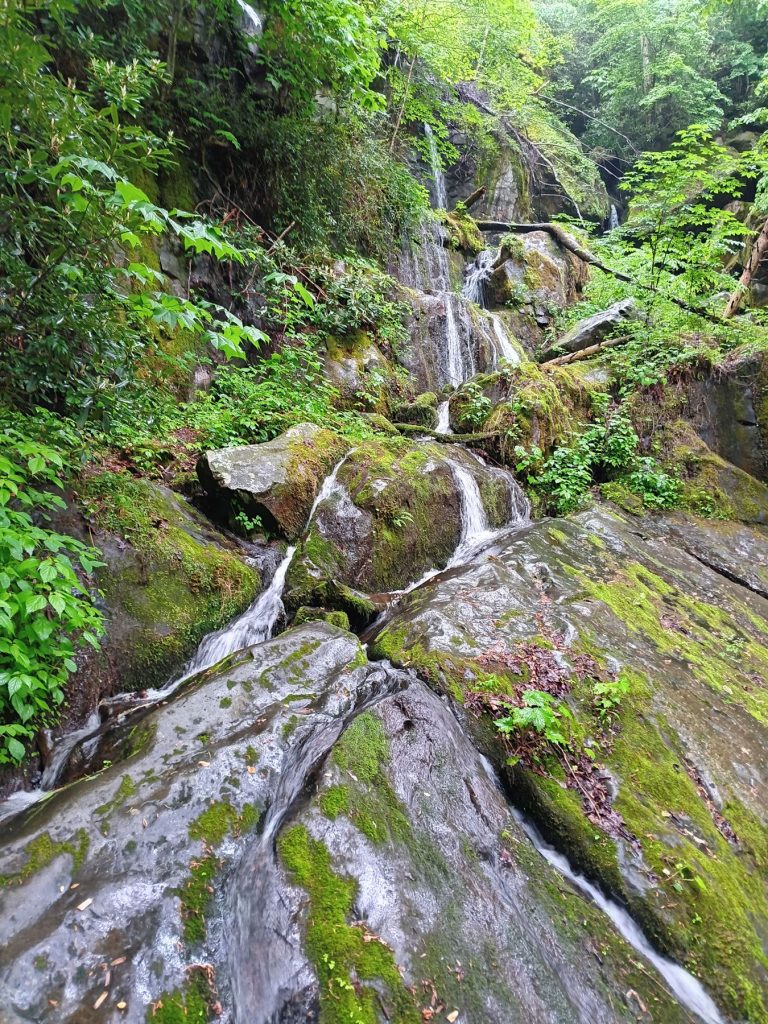
The last waterfall on the Roaring Fork Motor Nature Tail is the Place of a Thousand Drips. This waterfall is next to the road, so no hiking is involved. The stream up above splits into several cascading waterfalls, giving the falls its name. Luckily, we had rain the past day, so there was plenty of water coming down. During periods of drought, the falls are dry.
After completing the Roaring Fork Motor Nature Trail, we decided to drive to the other side of Gatlinburg to the Foothills Parkway. This scenic road was first conceived in 1939, but not completed until 2018. One section, dubbed “The Missing Link”, was finally completed in 1990 by using cantilevered bridges and elevated roadways, much like the famous Linn Cove Viaduct on the Blue Ridge Parkway.
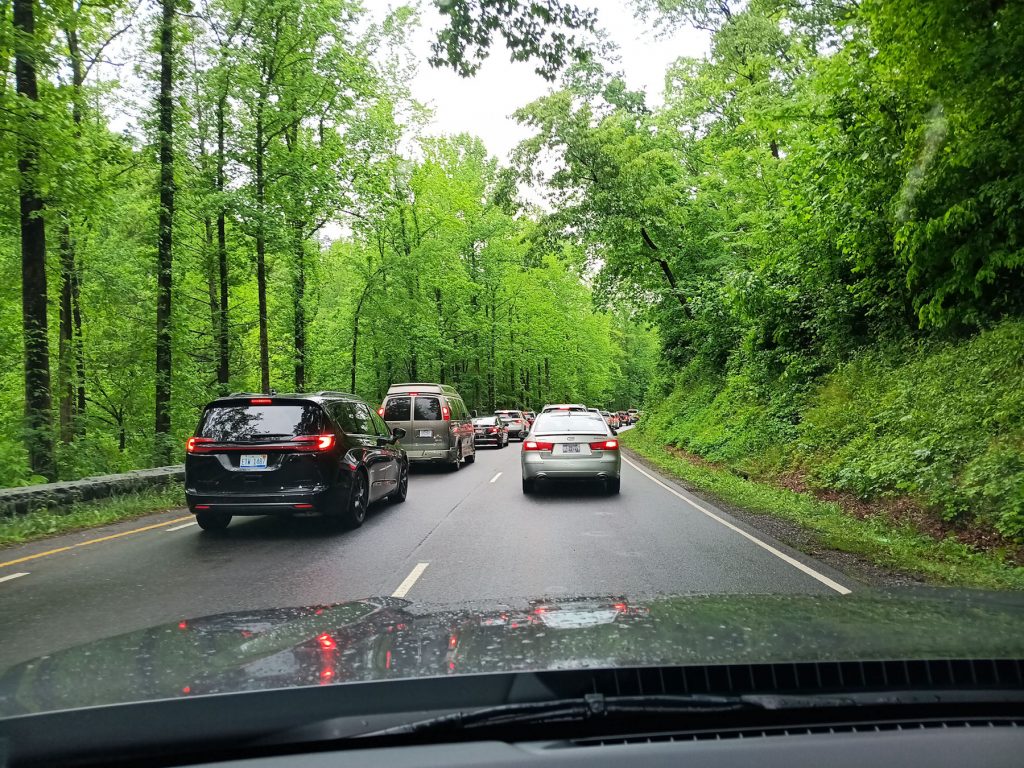
We got caught up in the afternoon traffic leaving the park and crawled along Rt 441 for several miles
until the turnoff for the Foothills Parkway.
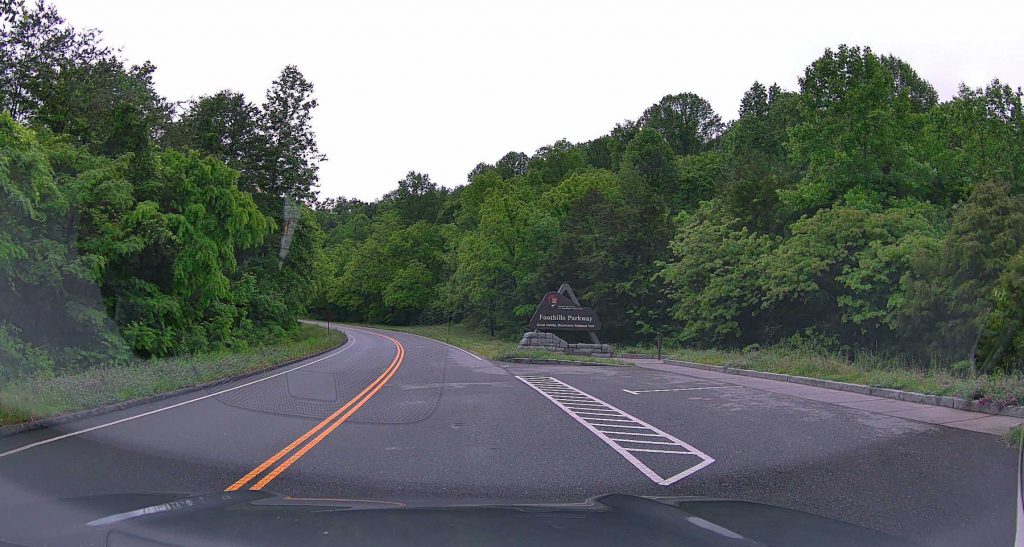
Welcome to the Foothills Parkway!
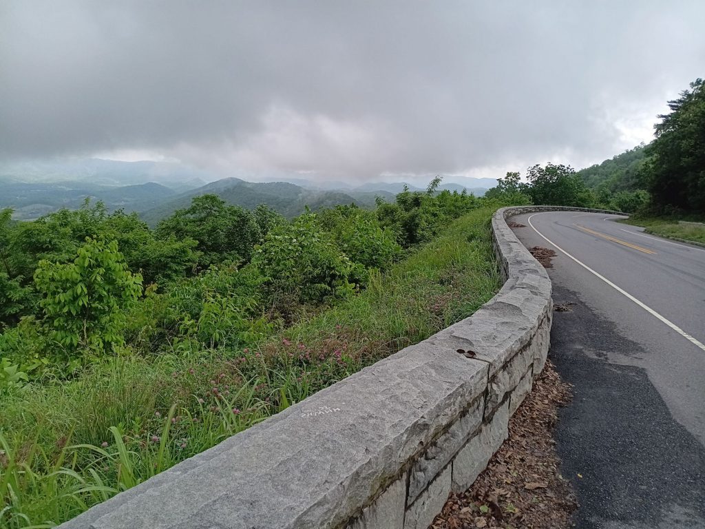
The Foothills Parkway climbs into the clouds. We could see the mountains in the distance until we got to the top.
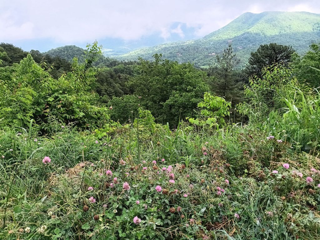
There were several turnoffs to see the flowers and scenery.
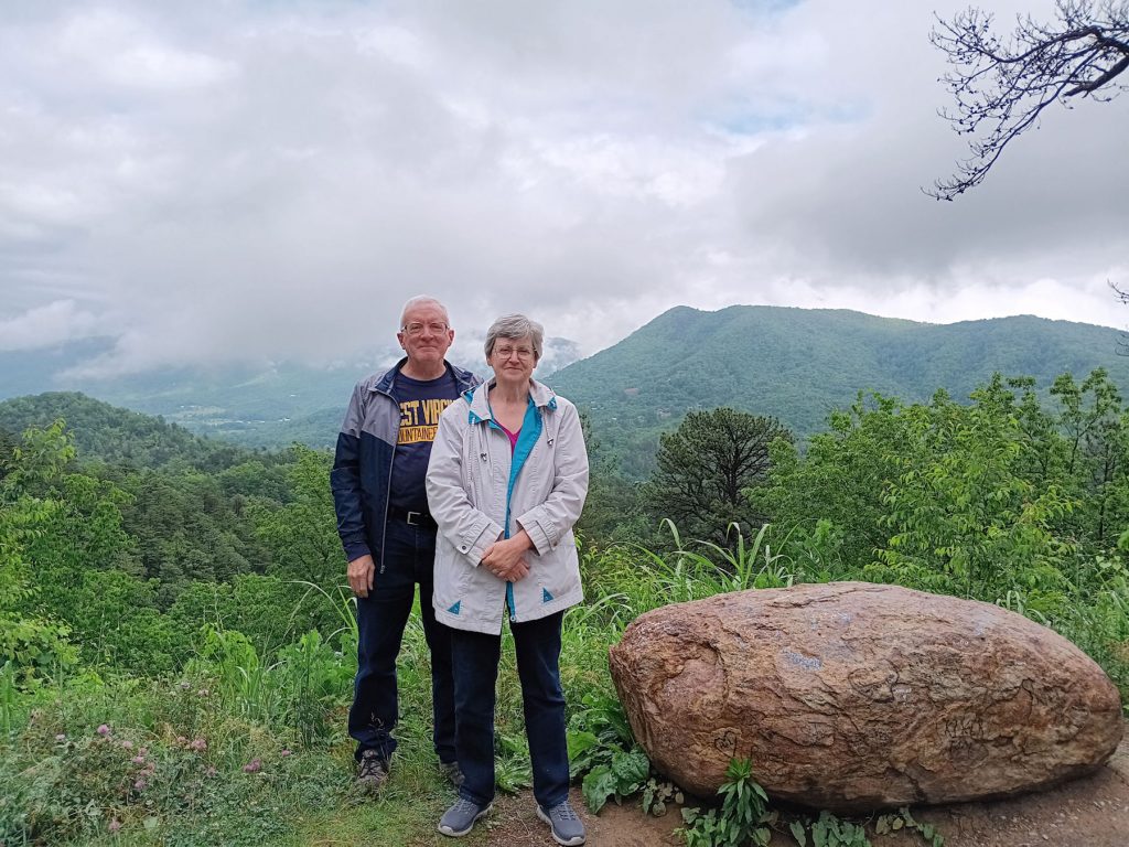
Here, we are enjoying the scenery at one of the turnoffs on the Foothills Parkway.
The GSMNP is just over those mountains behind us. I can see how they got their name.
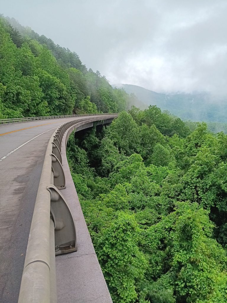
This is part of the viaduct that completed the “Missing Link.” It does look like the Linn Cove Viaduct on the Blue Ridge Parkway.
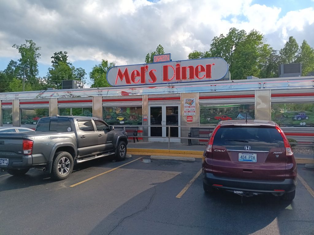

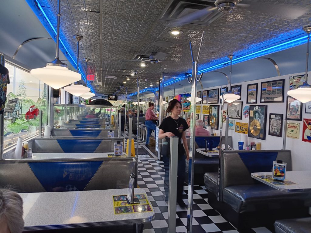
After a busy day of exploring the GSMNP, we were happy to find a diner where we enjoyed burgers, fries, and a chocolate malt.
Join us tomorrow (Day 4) when we drive straight through the park on the Newfound Gap Road (Rt 441), stopping at the Clingman’s Dome (Kuwohi) observation tower and the Newfound Gap overlook. From there, we continue through the park to the southern starting point of the Blue Ridge Parkway, which we follow for about 90 miles to Ashville NC.