

Retirement Ride #2
June-July 2006
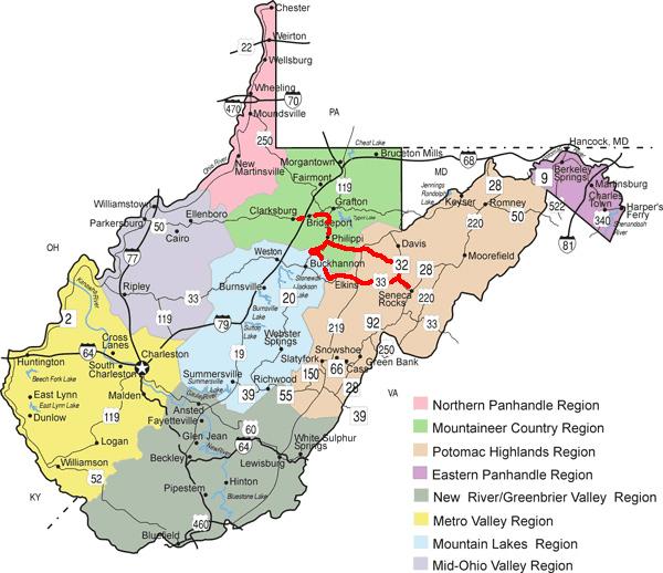
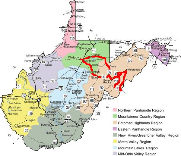
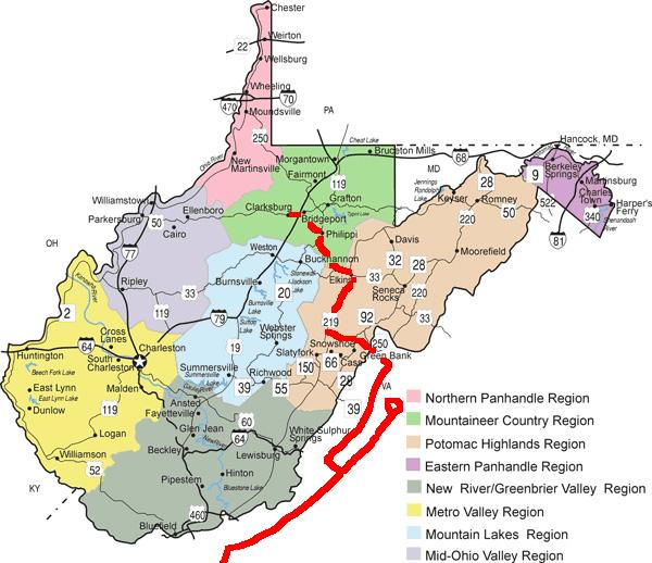
Illinois, Indiana, Kentucky, West Virginia, Virginia,
North Carolina, South Carolina, Tennessee

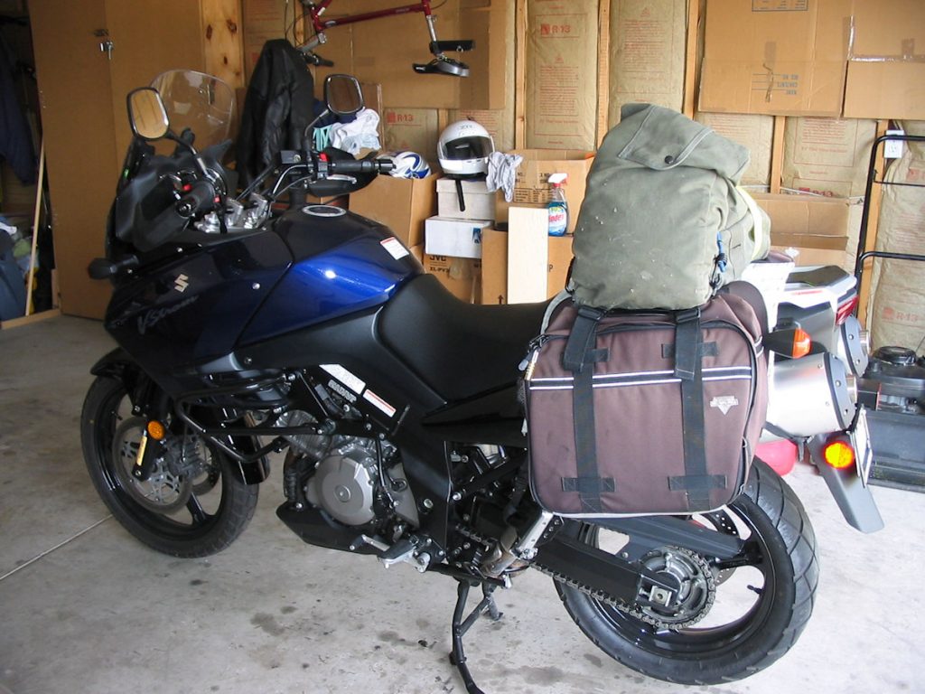
Oil and filter changed (Amsoil 10-40 Motorcycle Synthetic Oil and Suzuki filter).
Chain oiled and adjusted. Tire pressures OK. Coolant OK.
Planning for the RR-II began back in the cold rainy season we call winter here in southwest Illinois. As a piano teacher, I found that most of my students are out of town over July 4th, so that’s a good week to travel. My first retirement ride in 2005 gave me ideas for more places to explore in and around West Virginia.
When a minister friend of mine retired in South Carolina earlier this year, I looked at a map and discovered that Deals Gap (a very popular motorcycle area just below the Great Smoky Mountains Park) was almost in a direct line between here and there. Hmmm. OK, there are two destinations.
Linking South Carolina and West Virginia are many good motorcycle roads. One that I was really interested in was the Blue Ridge Parkway. Along the border of West Virginia and Virginia (yes, they really are 2 different states!!!) are several twisty roads promising a good ride. The only problem is which ones to pick.
My original plan had me leaving IL on Monday and traveling to far eastern TN. Getting up early Tuesday, I would explore the Cherohala Skyway and the Deals Gap area, then continue on to SC. After a days rest/visiting there, it would be north to WV. But as you are about to see, plans change for the dumbest reasons.
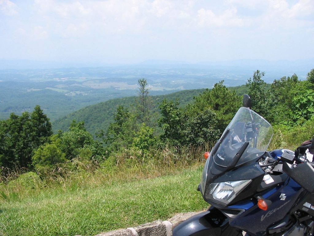
One other thing I would like to mention about my trip is that I tried to stay within a very strict budget. Being a substitute teacher and church organist doesn’t exactly put me in a high tax bracket, if you know what I mean. I believe you do not need to buy the most expensive new bike, the most expensive new riding gear, and the most expensive luggage and accessories to have an enjoyable ride. For example, I bought my bike (a 2005 Suzuki V-Strom 1000) used with 4K miles. The original owner upset it in his garage and scratched up the right side somewhat. I got the bike for slightly more than half the cost of a new one. Another example: I looked at motorcycle rain suits for $50 – $200 at the bike shops and found a comparable one at the local farm supply store for $17. It kept me perfectly dry through 300 miles of hard downpour, except for my socks and pant cuffs. Moral of the story – If I can do it, almost anyone can.
Well, enough talk – let’s start the trip!
Day 1 – Illinois to Clarksburg WV
630 Miles
Those of you who know me know that I am a notorious early riser. Even on the weekends, I am awake by 6:00 am. It should come as no surprise that I was awake for this trip at 3:00 am, and drove out of the driveway at 3:45 am. Three reasons I do this: 1) 20 degrees cooler than daytime temps, 2) far less traffic, and 3) I love watching the sun come up and night turn to day.
Originally, I had planned to make a loop going through Tennessee and the Carolinas, then heading north to West Virginia. However, 2 weeks before the trip, I could not find a replacement rear tire anywhere within 200 miles of St. Louis. As a last-ditch effort, I called Leeson’s Motors in West Virginia and got lucky. My tire had enough tread to go from Illinois straight to West Virginia, but not via the southern route. Therefore, I decided to do the original route, but clockwise instead of counter-clockwise.
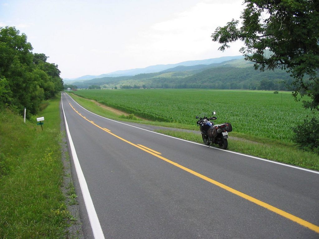
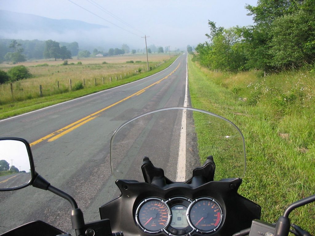
Since I had 630 miles to go, I decided to hit the interstate all day. I will have lots of opportunities for back roads in the coming week. I don’t even need a map today. I-64 East to Charleston, West Virginia, then I-79 North to Clarksburg. Easy.
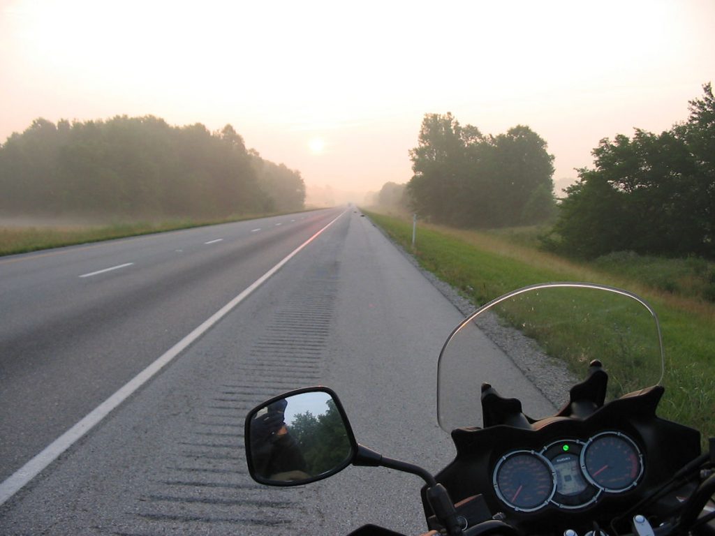
I love mornings!!!
It was unusually cool when I left, just in the mid 50’s. I debated about wearing my lightweight long johns, and was glad I decided to go ahead with them. It was none too warm at 75 mph with jeans. I kept them on until about 8:00 am. It wouldn’t be the last time I had them on.
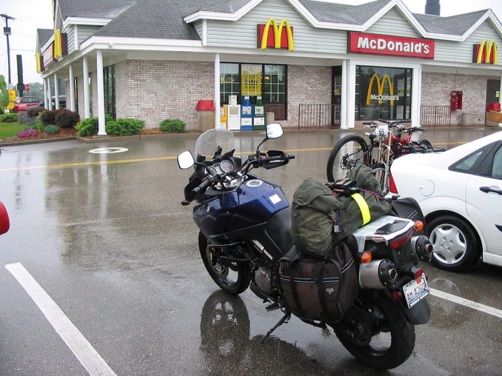
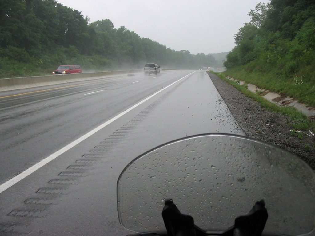
I had clear weather and no winds for the first 450 miles, which I made before lunch (even with losing an hour at the Eastern Time Zone change. However, at the West Virginia border, it suddenly got darker and started raining. Within 20 miles, it was a hard downpour. Apparently the entire east coast of the USA was having a week of hard rain and flooding.
Lucky I wrapped everything in Zip-Lock 2-gallon bags.
I continued on to Clarksburg in the rain. I was a little concerned about the rear tire with little tread left on it, but there was no hydroplaning. I rode rather conservatively to be safe. Along the way, I passed a semi-truck that had crashed. They were unloading the contents – ice cream!! Just a mile later, two cars had collided. Between these two accidents, traffic was single file and slow for about 5 miles.
I made it home by 4:00 and emptied a half-liter of water out of each boot. My $17 rain suit from the farm supply store worked great, except I didn’t bring boot covers. Oh well. It’s just water.
Mom was ready with a great meal. A warm (and dry!) bed awaited. A great day, even with the rain.
Day 2
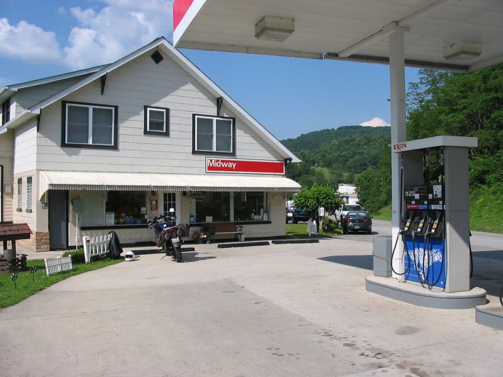
Today is new rear-tire day for the Strom! Since it was raining, I would not be doing much riding, so it was a good day for this. Leeson’s Motors, the Suzuki dealer in Bridgeport WV, has always taken care of its customers since I first starting doing business with them in the early 1980s. It’s a family business run the way a dealer should be – honestly.
If you ever need service or a new bike, check out Leeson’s Motors.
Leeson’s Import Motors Inc.
320 W Main Street
Bridgeport, WV 26330-1751
Phone: 304-842-5469
Fax: 304-842-5848
Email: sales@leesonssuzuki.com
Website: www.leesonsmotors.com
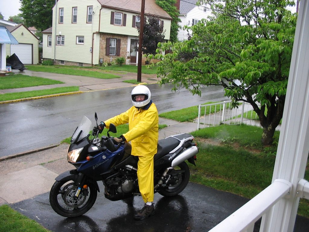
Check out the $17 rain suit!! Hey, it works. (Wish I had brought boot covers, though.)
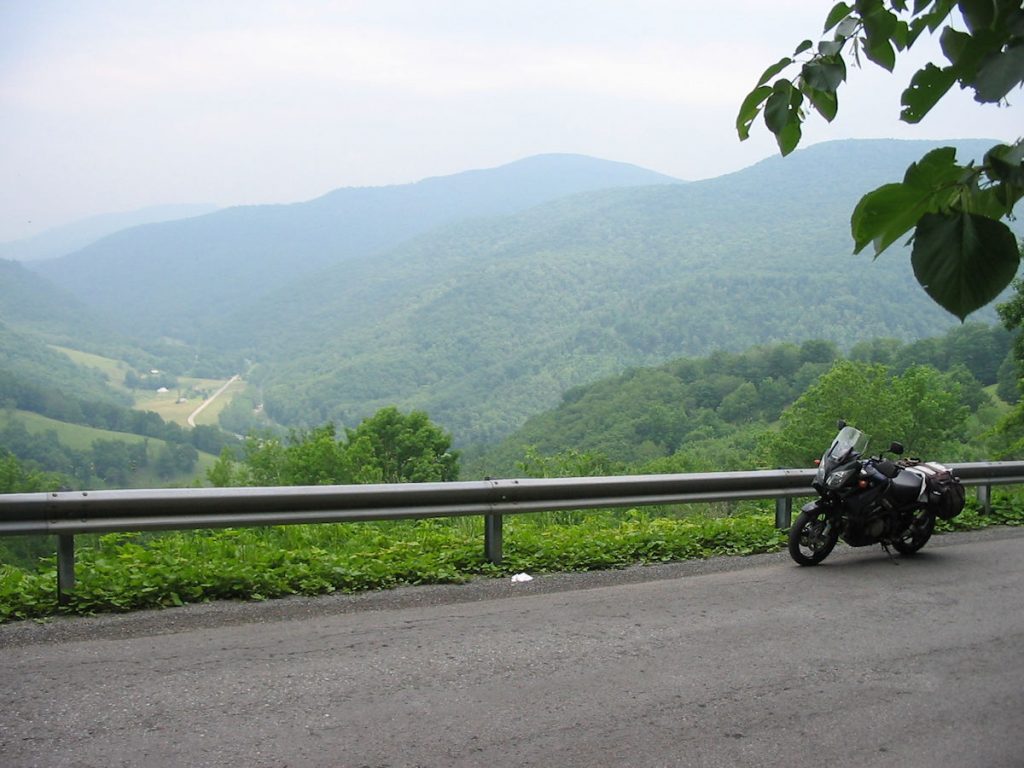
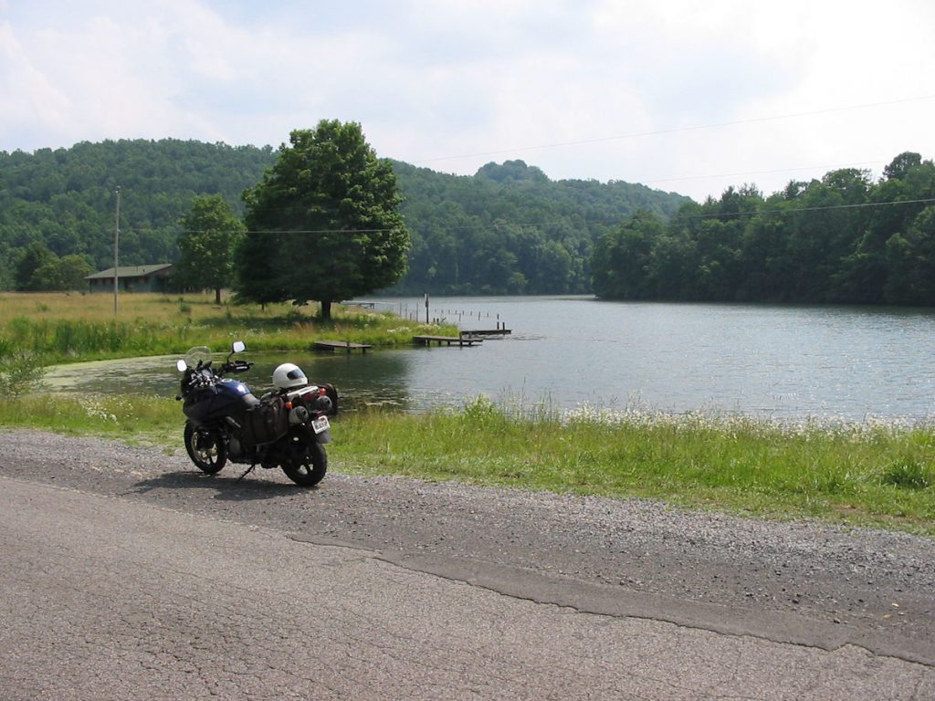
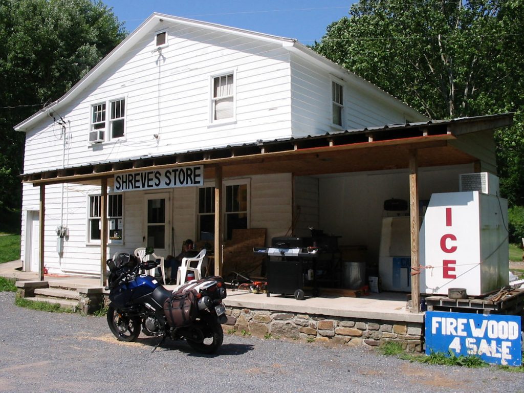
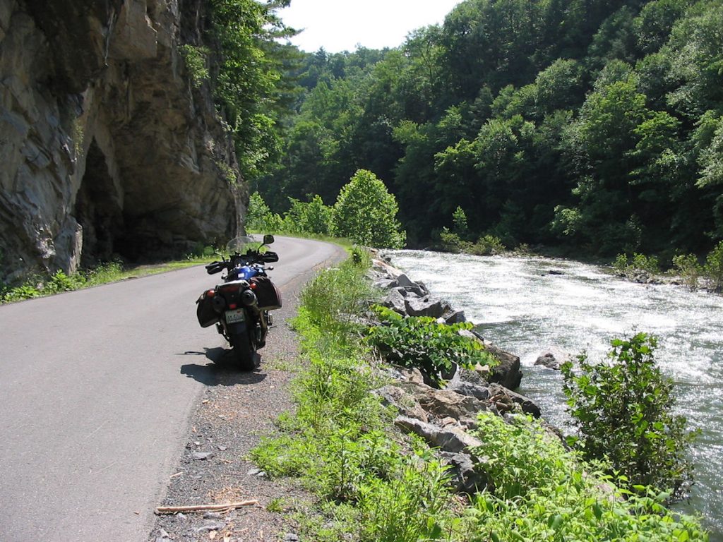
Days 3: Exploring West Virginia
214 Miles
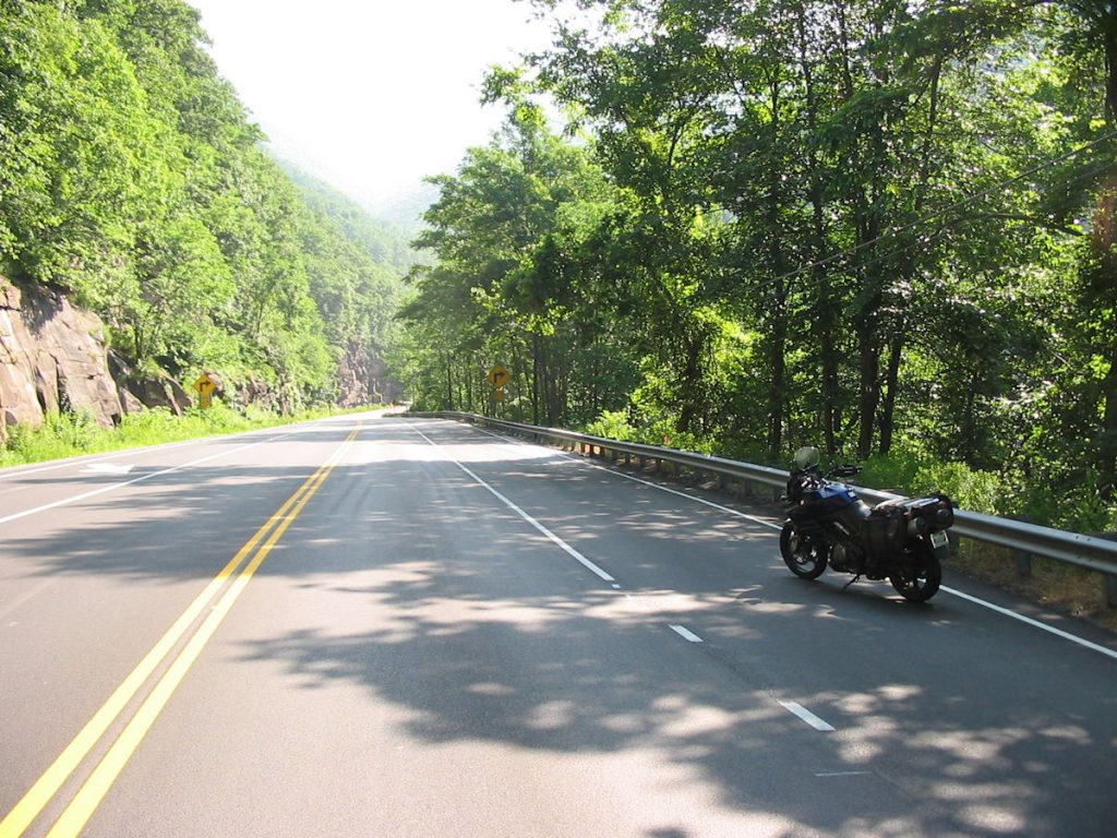
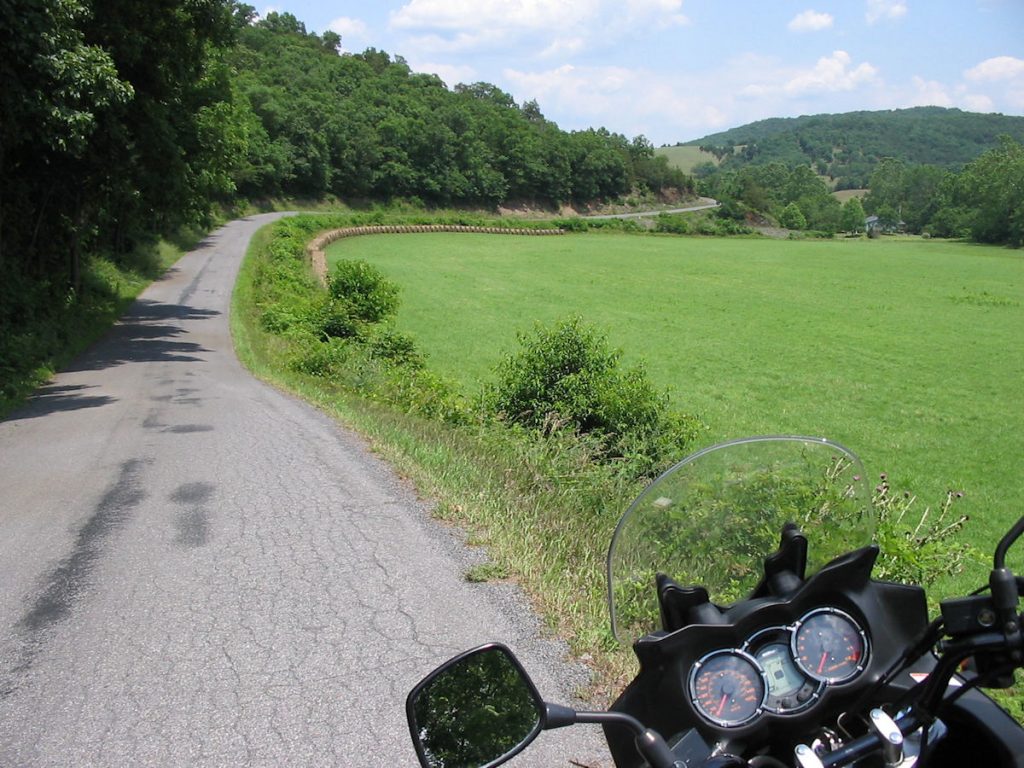
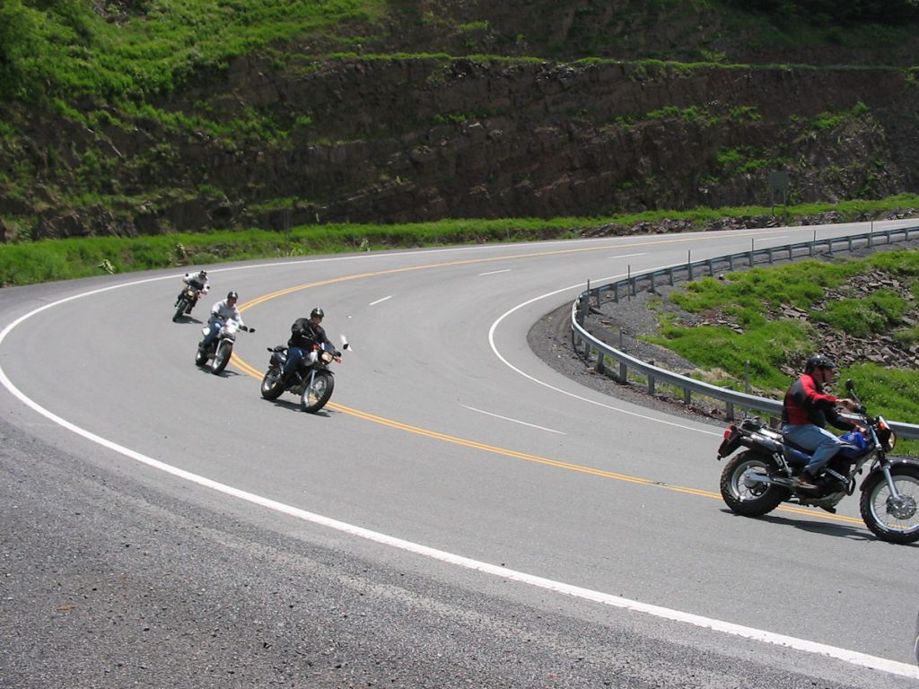
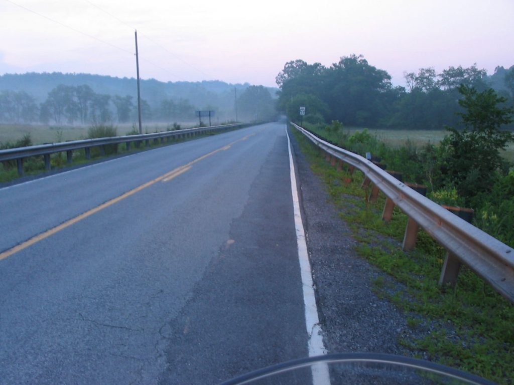
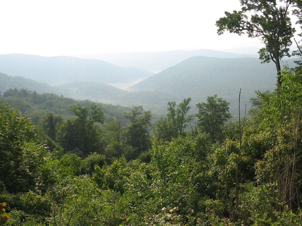
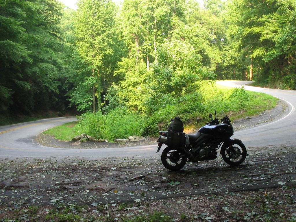
Rather than go straight to Seneca Rocks by my familiar route (Philippi, Belington, Elkins), I had researched a different route that took me through some areas I had not seen for over 30 years. I love taking back roads, and I was not disappointed.
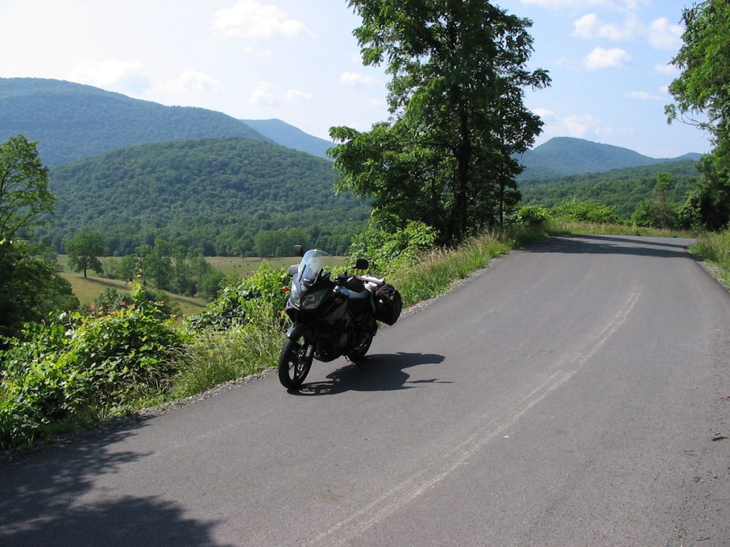
I took Rt 50 East out of Clarksburg for about 10 miles, then turned south on Rt 76 towards Flemington and Galloway.
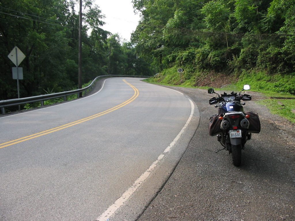
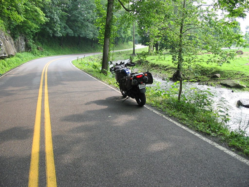
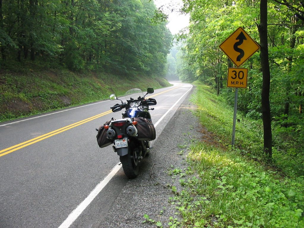
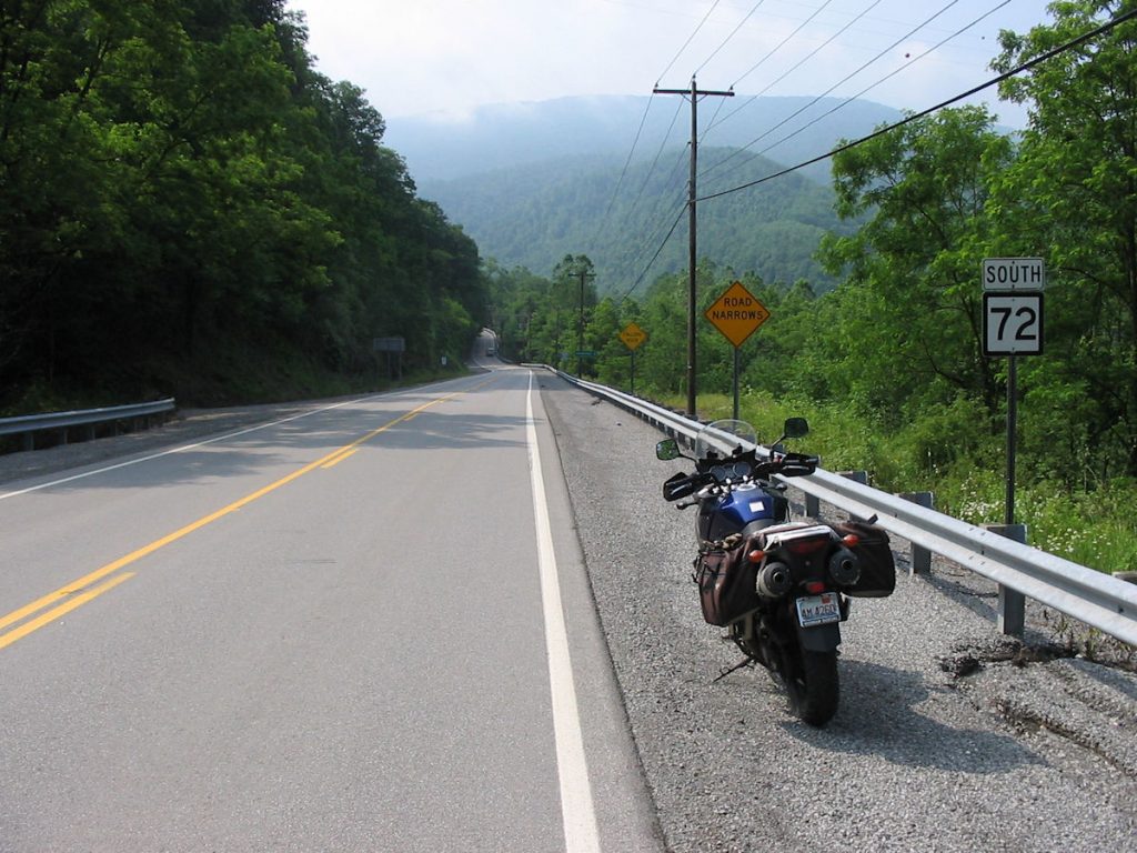
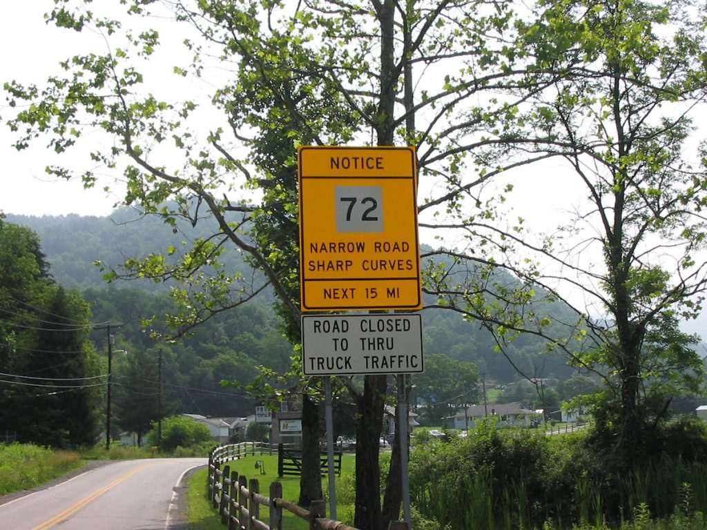
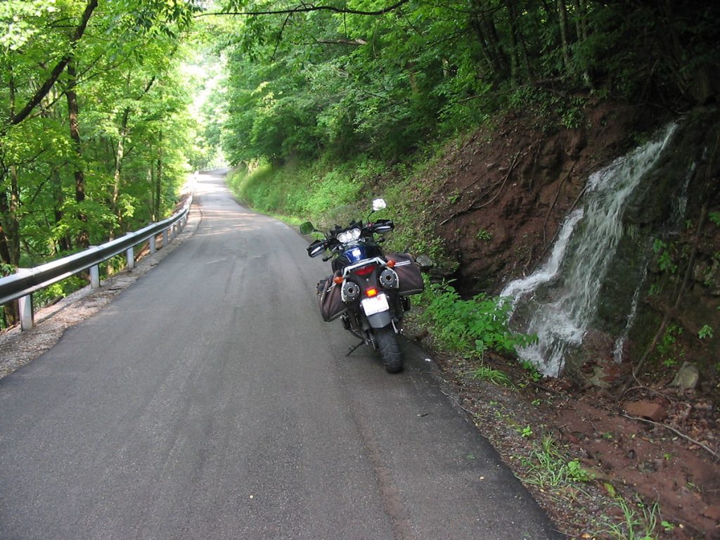
back roads at it’s finest! One of the many roadside waterfalls along Rt 72 east of Hendricks.
Motorcycle heaven! Watch out for gravel, though.
(Yes, I turned around facing west for this picture – it’s more photogenic)
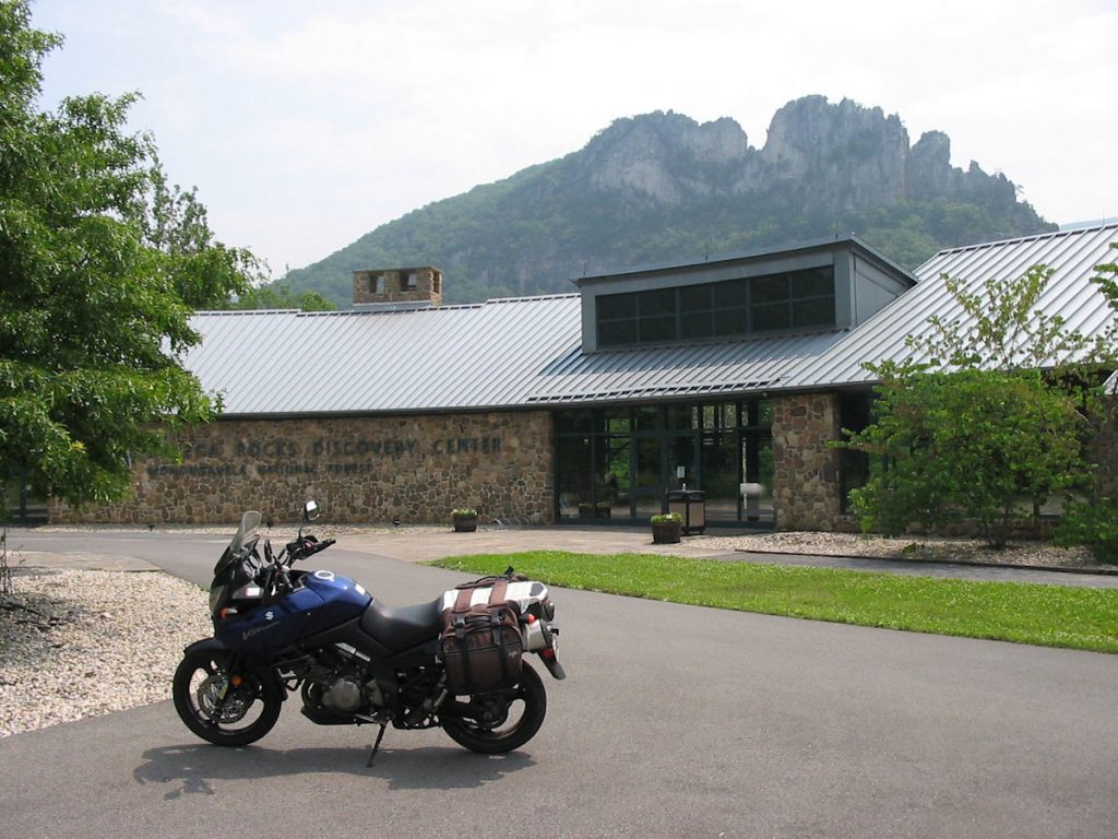
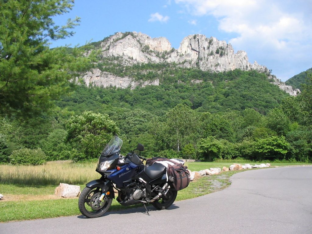
When I retired from the Air Force last year, I was asked where I wanted my retirement flag to be flown. State capital? Washington D.C.? No, I wanted it flown over the Seneca Rocks Visitors Center. The head ranger, Sue Grafton, graciously agreed to fly my flag on this pole for the entire day. I was glad to see her this day and say “hi”.
Well, that was an enjoyable ride! Lots of old memories for me.
Hope you enjoyed it too.
Day 4: Resting and Visiting My Folks
Today, I spent the day resting and visiting with my parents. Mom continued to spoil me with fabulous meals.
Day 5: More Exploring
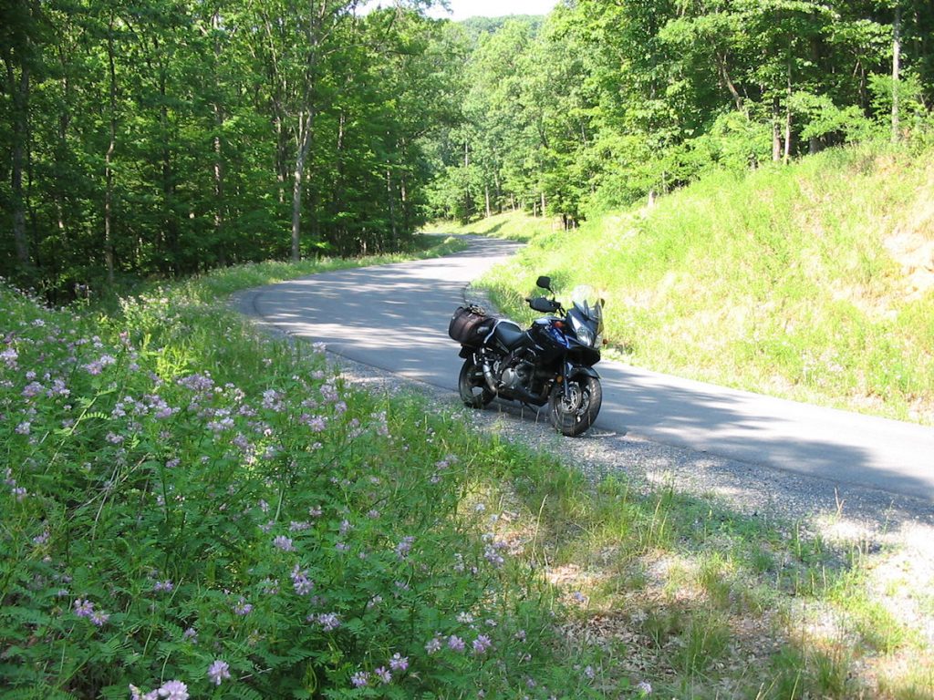
390 Miles – All Backroads
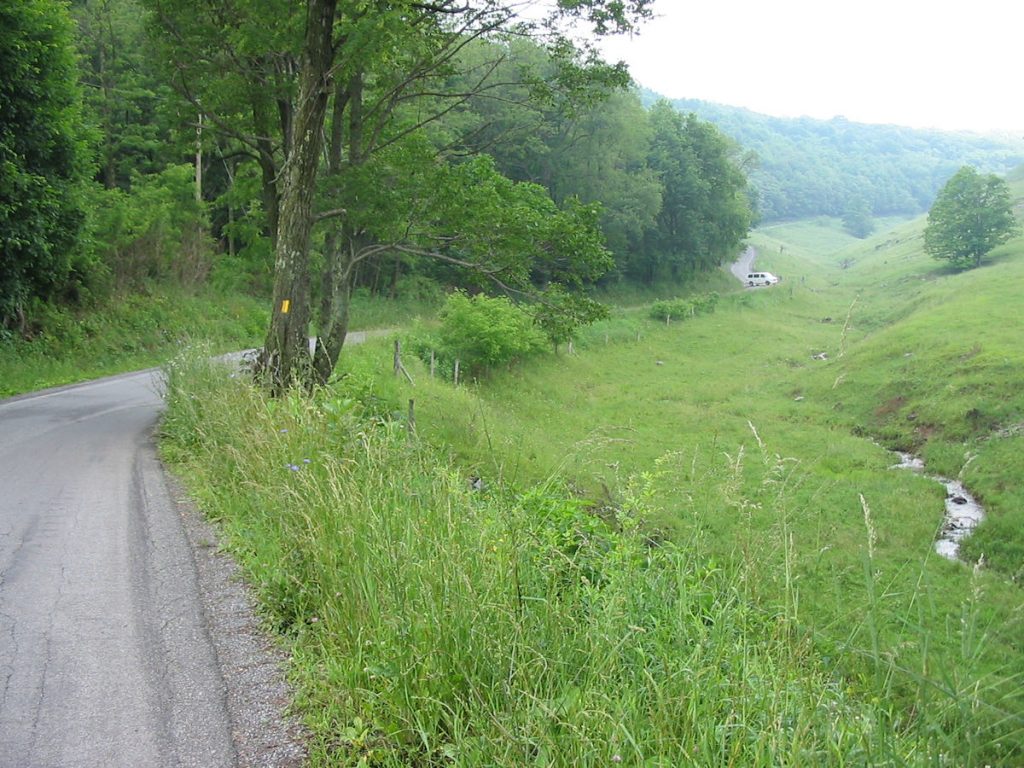
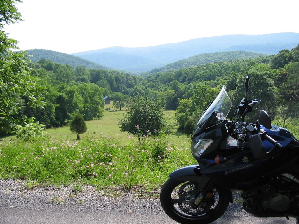
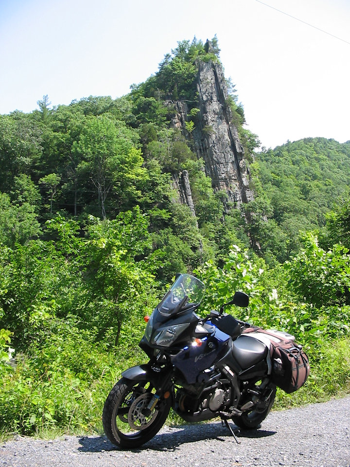
It does change back to twisty 2-lane after about 6 – 8 miles. What a view!
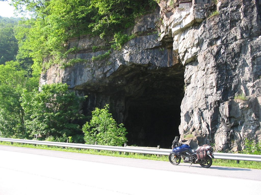
One of the limestone caves on Rt 33 east of Elkins.
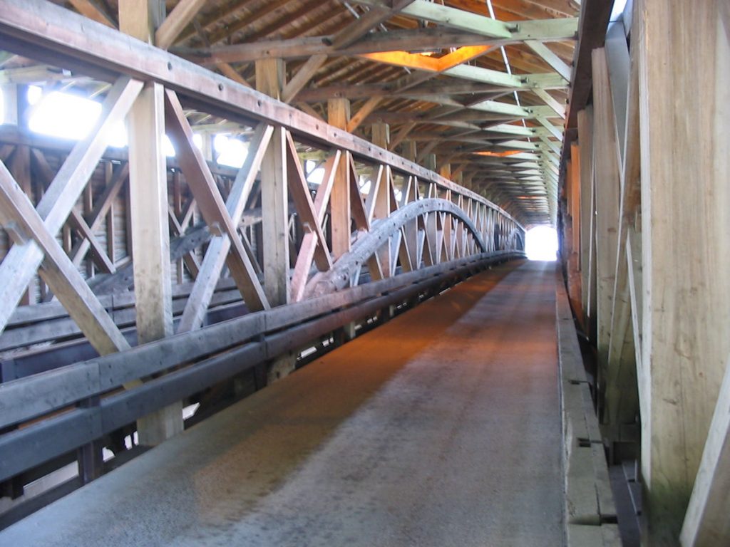
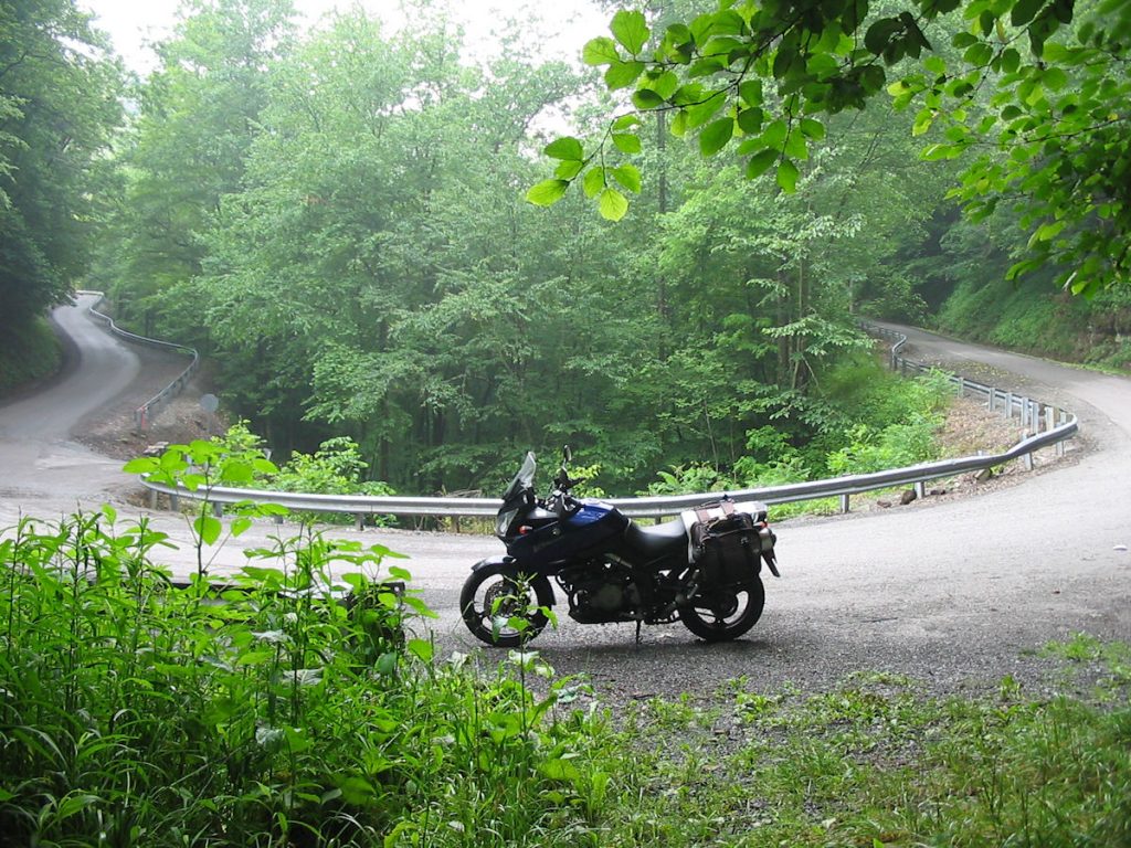
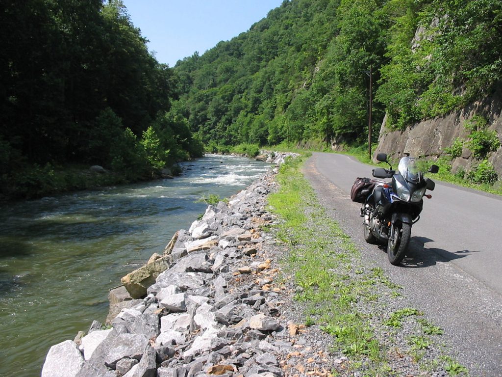
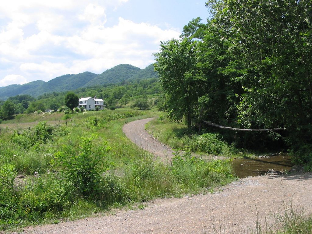
I was in Seneca Rocks by 8:00 am (I stopped to take pictures). Turning left on Rt 55/28 towards Petersburg, I went up to just before Cabins and turned south onto Smoke Hole road (CR 28/11). Until just couple of years ago, this 18-mile route was a gravel road. Now it’s paved, but you still have to watch out for gravel in the turns. Take it easy – it’s a desolate spot to slide off the road! This is the first I’ve been on the road since it was paved.
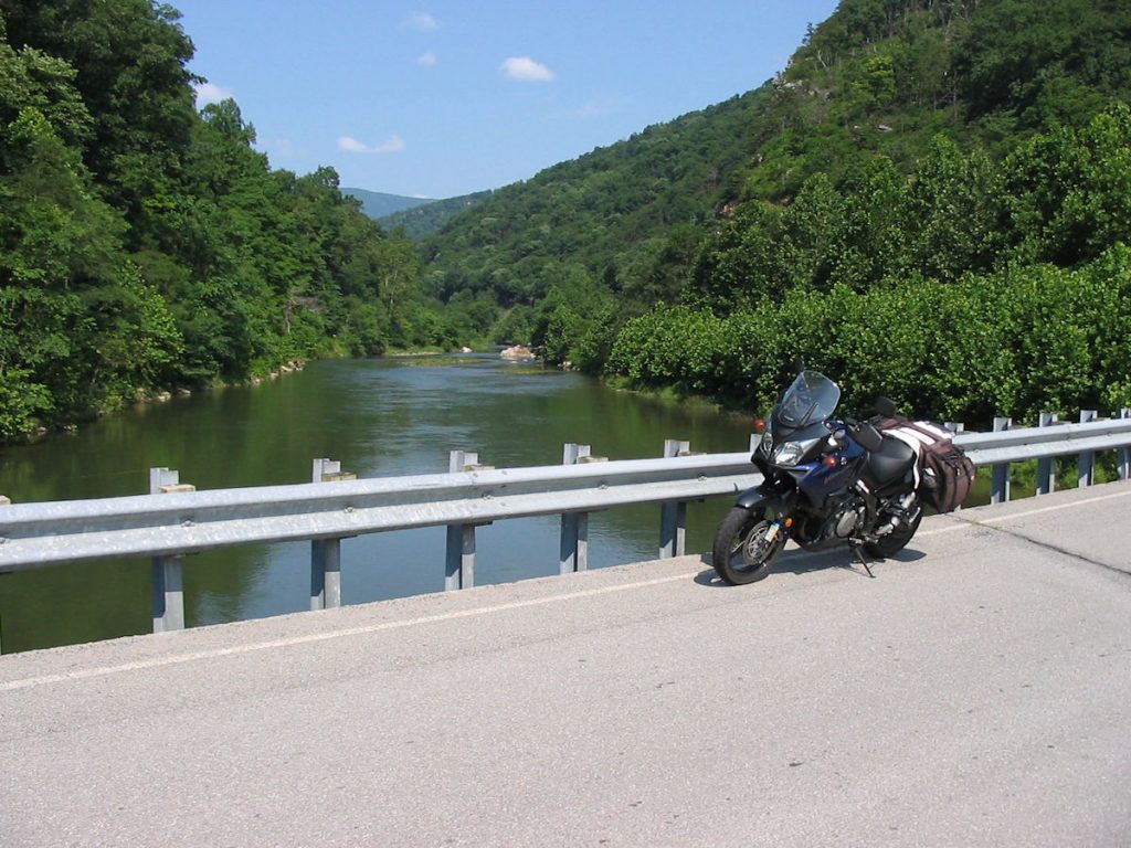
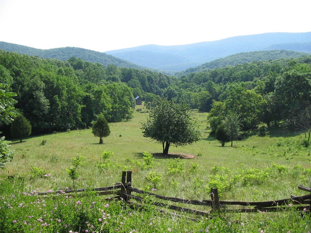
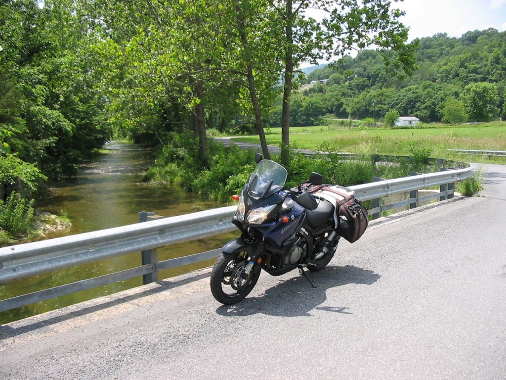
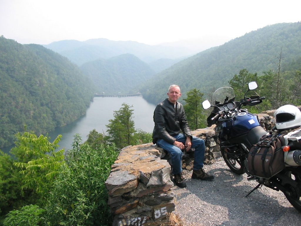
Crossing the North Fork of the South Branch Potomac River. (Confused yet?)
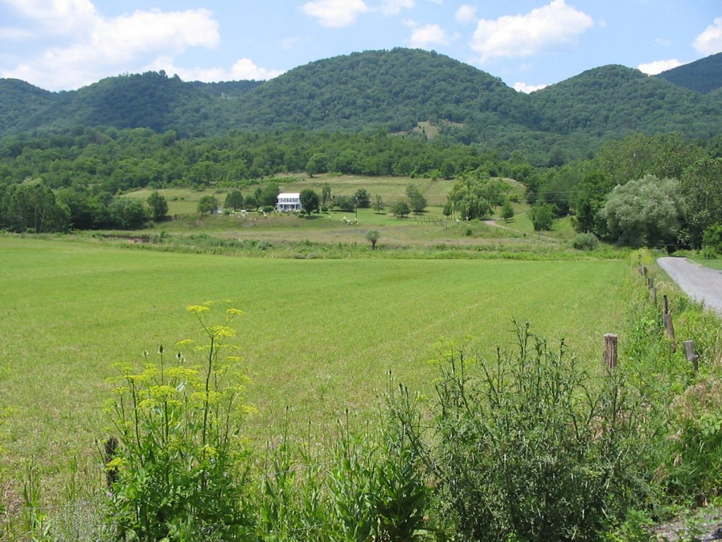
Our farm is just over those mountains about 10 miles.
(see next photo for updated story about the photo and background)
didn’t want to wait several hours for the afternoon light.
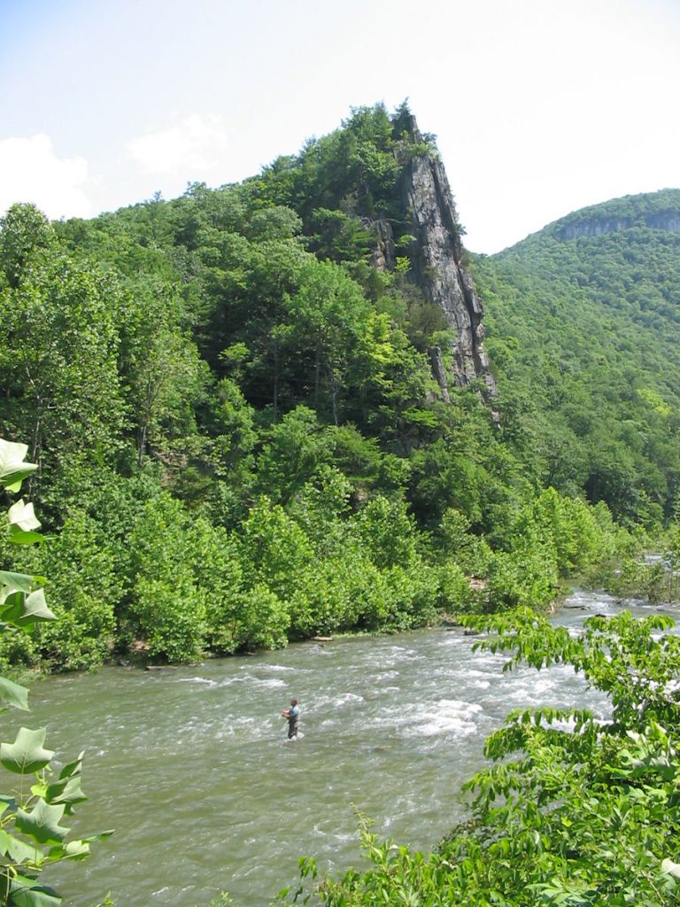
Eagle Rocks is a popular fishing spot in Smoke Hole. It is named for a Revolutionary War soldier. (See next photo)
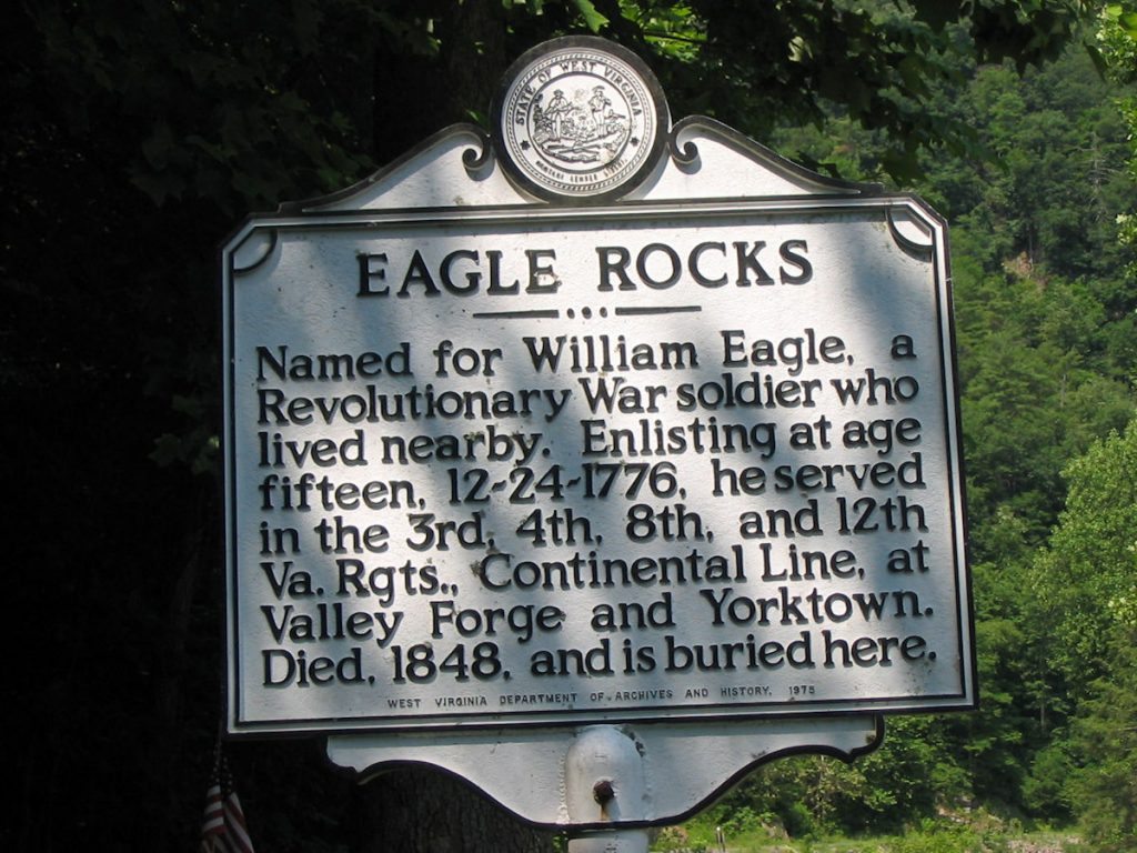
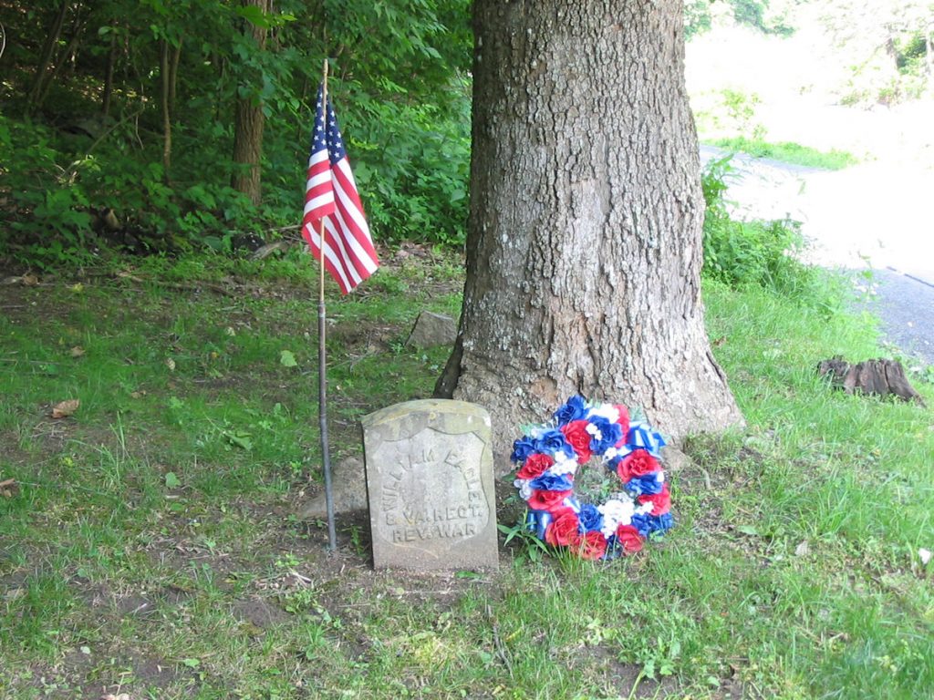
Alongside Smoke Hole Road, and just across from Eagle Rocks, is the gravesite of William Eagle.
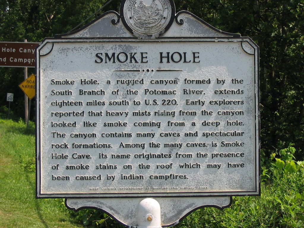
The other legend is that the moonshiners’ stills left a lot of smoke hanging in the air back during prohibition.
You can decide which story you like better.
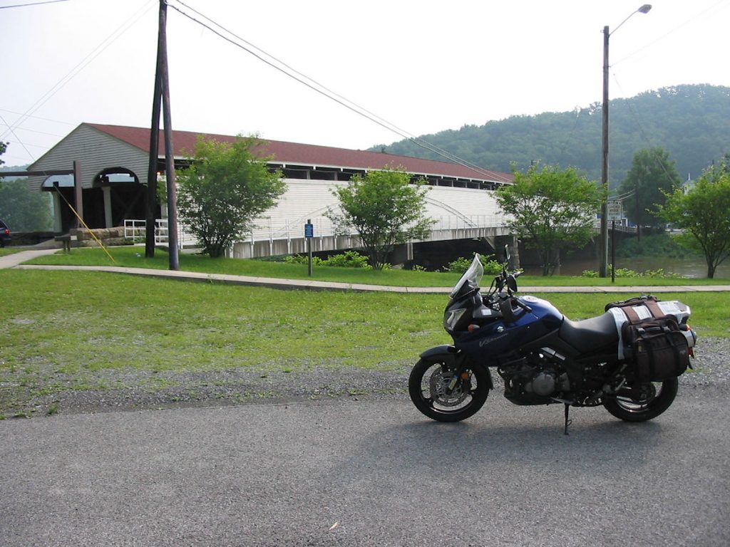
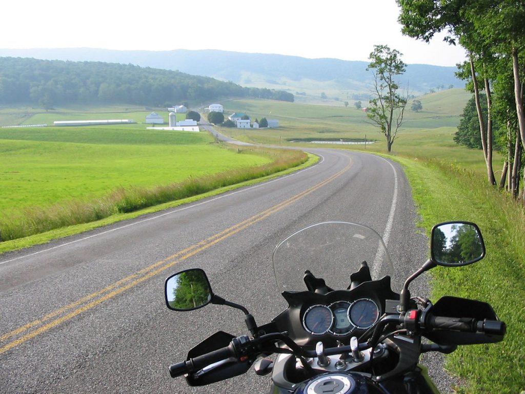
After this, I was planning to ride up Rt 220 past our farm and into Petersburg for lunch, but I decided to backtrack and ride the Smoke Hole road again northbound. It’s that enjoyable!! I stopped in Petersburg for lunch with Smitty Alt, an uncle who runs a large furniture store there. We had a good 20-minute visit, then it was off to cover more ground.
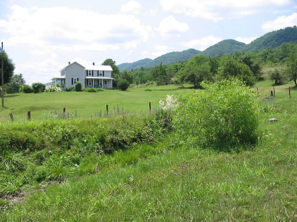
First, I headed south out of Petersburg on Rt 220 to my grandparents’ old farm near Pansy. They passed away about 15 years ago, and my parents still live there part-time.
I chose the latter, and the V-Strom didn’t even break a sweat.
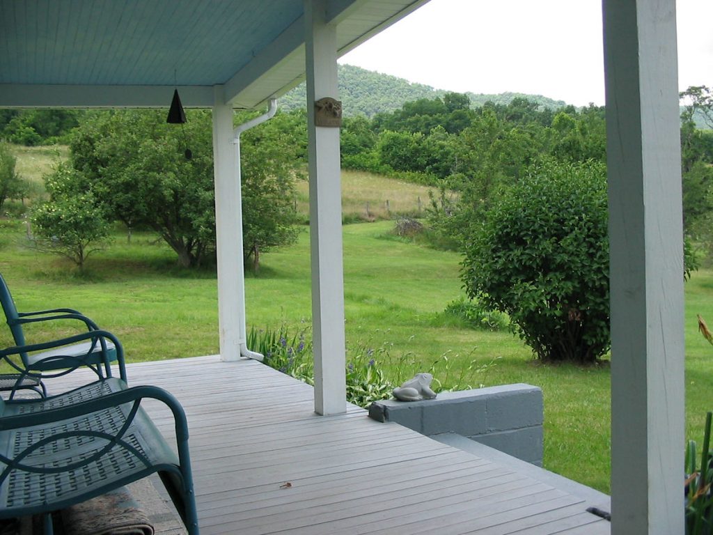
bullfrogs and crickets singing their songs on hot summer evenings.
Grandma would sit in the rocker, and grandpa and I would sit on the glider.
turned east on CR 220-4, also known as Mill Creek Road.
This narrow road meanders through old farmland and comes out 5 miles later at Dorcas.
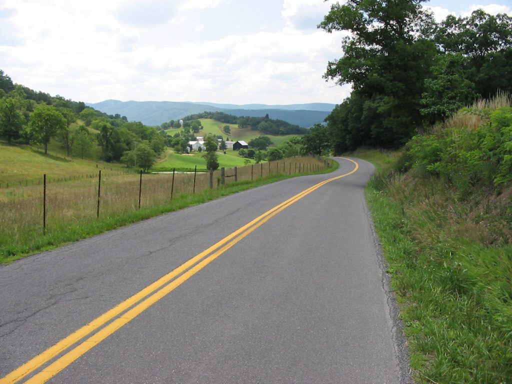
CR 9 and CR 1 to Mozer, Kline, and Upper Tract.
After coming out on Rt 220 at Upper Tract, I headed south to Franklin, then east on
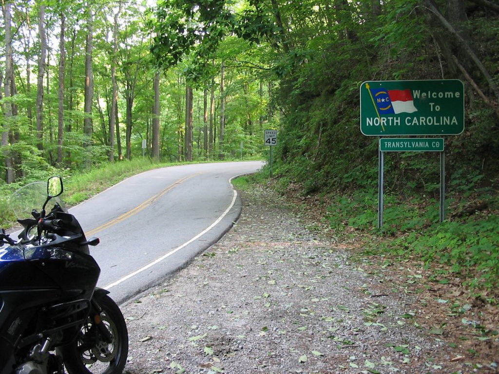
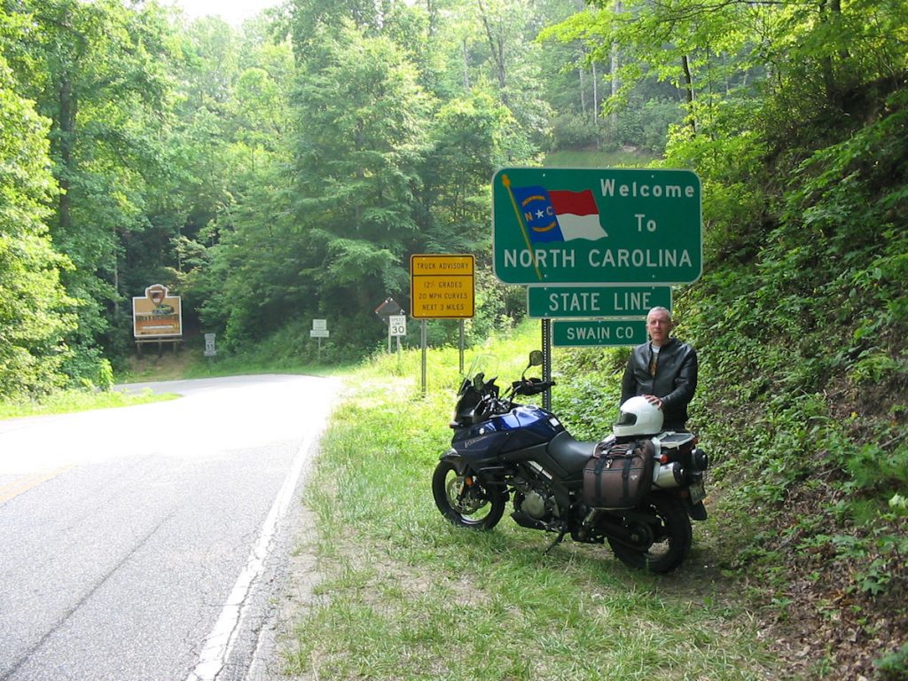
Rt 33 for the Virginia border, passing through Oak Flat and Brandywine.
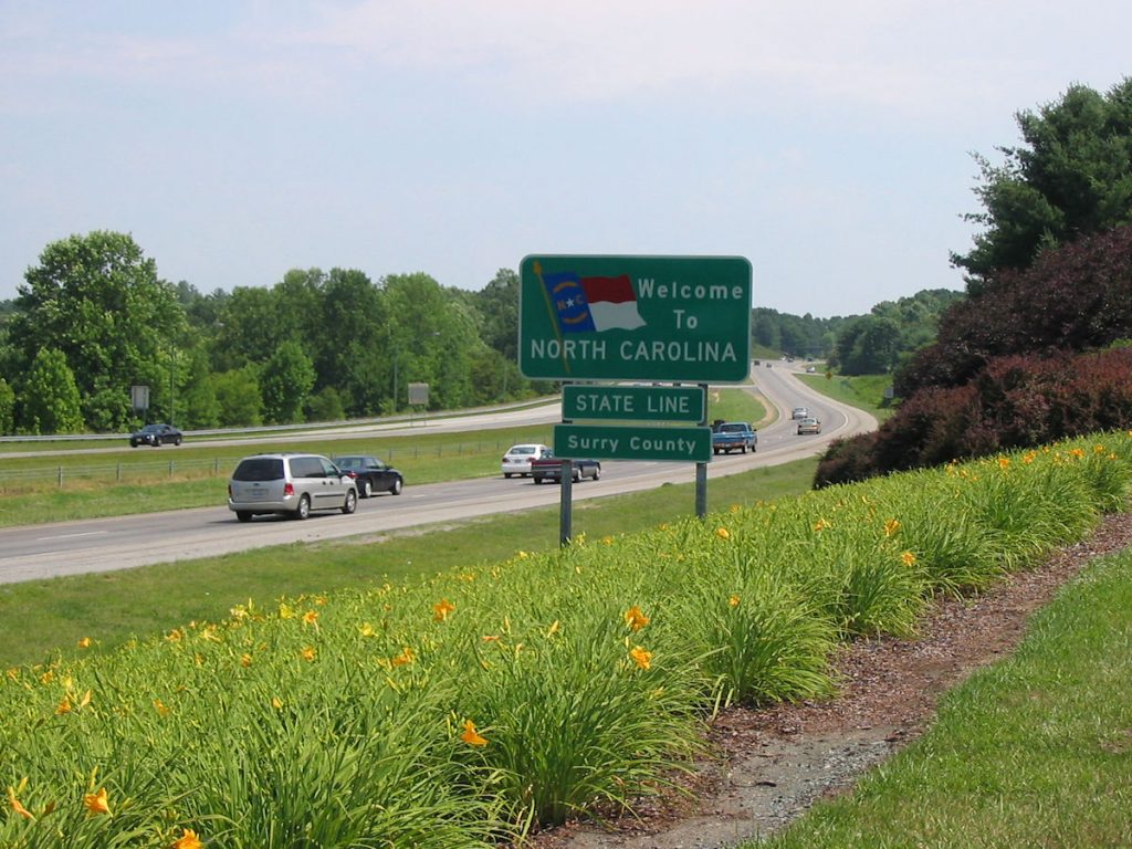
(Yes, they really are two separate states!)
This used to be a very narrow, winding road up the mountain, but now it’s “improved”.
I prefer the old road, but this one is still great.
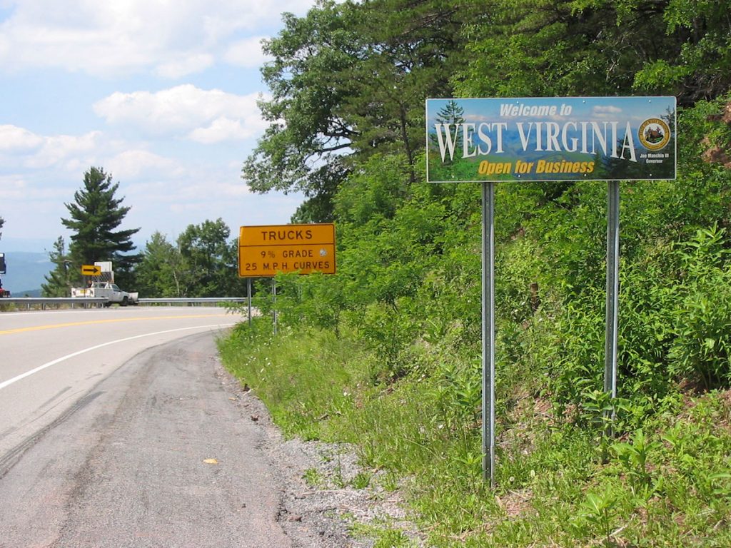
I laughed at the first sign after the border: 9% Grade and 25 MPH Curves. YES!!
I have driven past this road a hundred times but never had the time to explore.
Watch out for deer!! I saw one in or by the road about every mile.
After reaching Moorefield, I headed west on Rt 28/55 through Petersburg and back past Seneca Rocks. After Seneca Rocks, it was over the mountains to Harmon for gas, then quickly home to Clarksburg via Davis, Thomas, Silver Lake, and then Rt 50 east into Clarksburg. I was running late for supper, so I didn’t stop to take pictures. Rt 32 from Harmon to Davis is great!
It was a GREAT day. God was good in giving me the nice weather to ride most of the roads I wanted to explore on this trip. I enjoyed every one of the 390 miles today. The V-Strom is a great bike — powerful, comfortable, and easy to handle.
Hope you enjoyed the ride too.
Day 6 – Hanging out
After yesterday’s great ride, I was ready to rest a little and visit folks before riding to South Carolina the next day. I also took the opportunity to do a little maintenance on the bike – oiling the chain and checking all fluids and tire pressures. Everything was fine, except I added less than 1/10 quart of Amsoil synthetic motorcycle oil (10w-40) to bring the level up to full (it was halfway between full and add on the sight window).
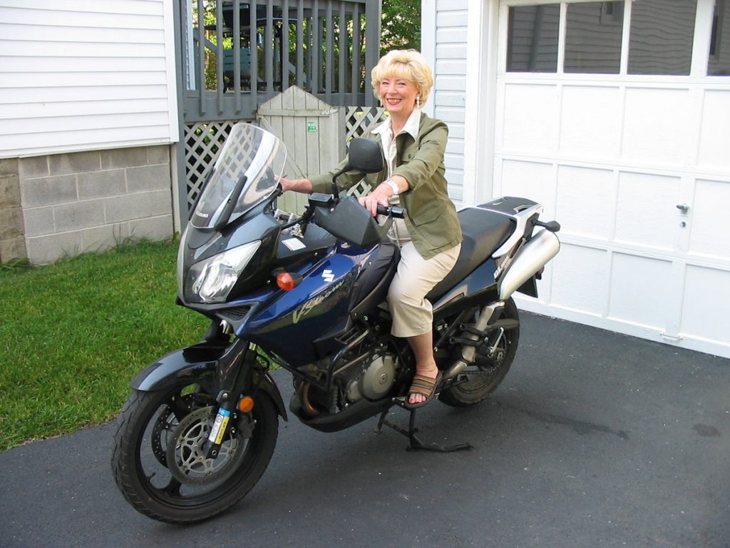
She has a heavy foot and doesn’t like to waste time when driving. I wonder what she would say if she felt the acceleration of the bike from 0-60 mph? Would you believe she’s 74? (UPDATE: Mom passed away in 2017 at the age of 84)
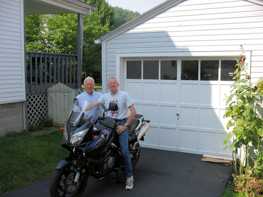
(UPDATE: Dad passed away in 2016 at the age of 87)
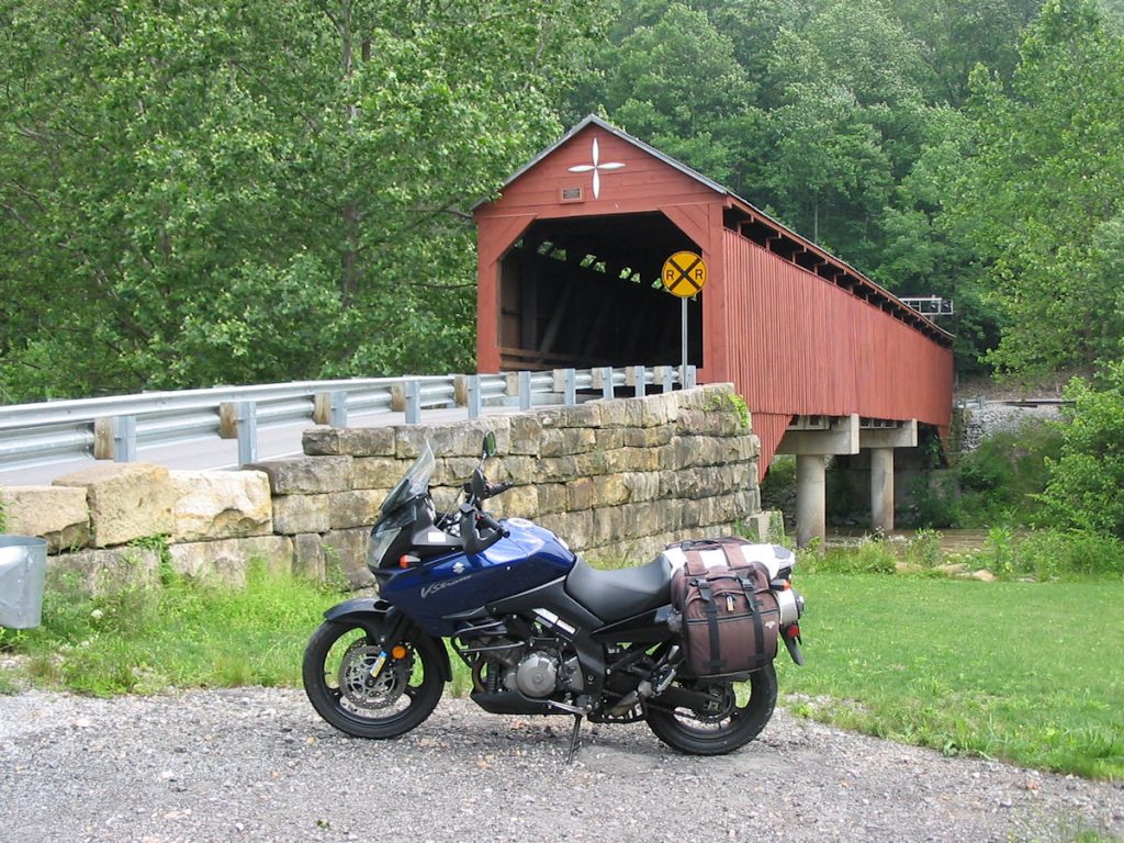
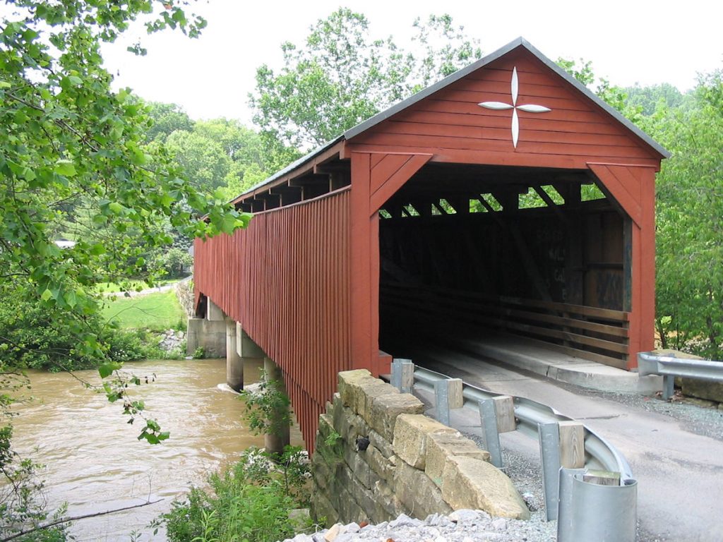
Day 7 – Clarksburg WV to Lexington SC
Which way is up?
609 Miles (should have been 500)
I had two options for the return ride. Option 1 was to take the northern route and visit a great-uncle in Toledo (who is celebrating his 90th birthday in July) and also a sister who lives in Canton, Ohio. The second option was to take a southern route down to South Carolina to visit the retired minister (and his wife) from our church, then circle around to Deal’s Gap and the Great Smoky Mountain Park area.
The Weather Channel was calling for severe storms from where I was in West Virginia and all points north and west (through Ohio), so I decided to take Option #2, the southern route.
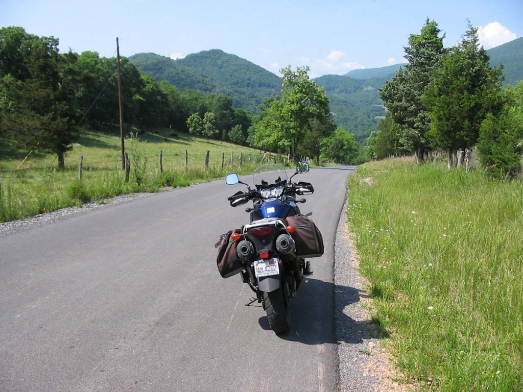
Rt 57 between Clarksburg and Philippi.
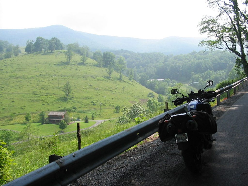
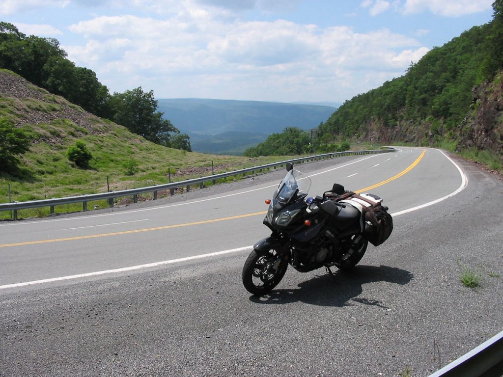
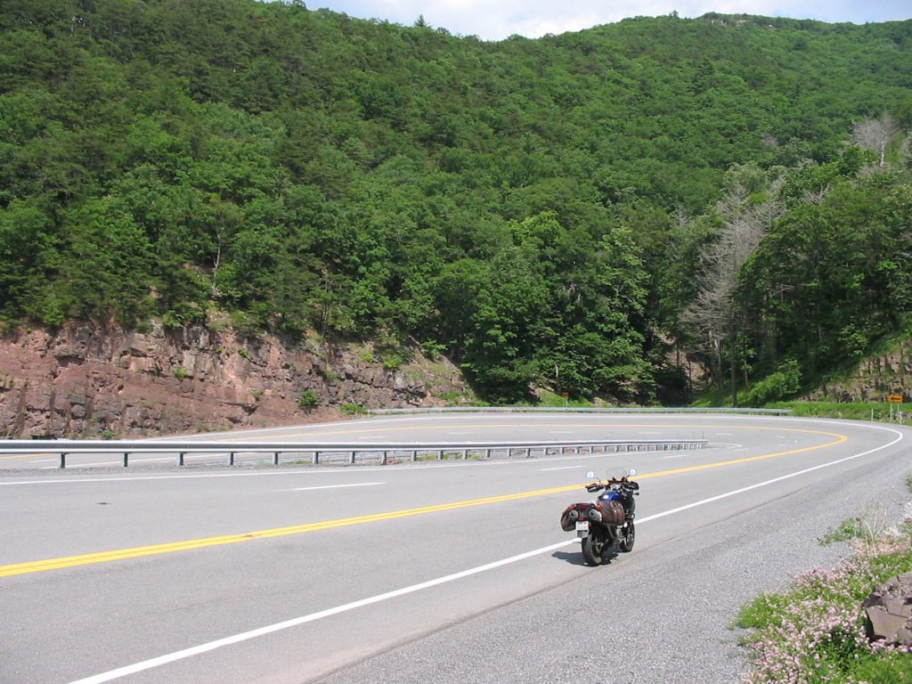
then east on Rt 250/92 over the mountains (picture).
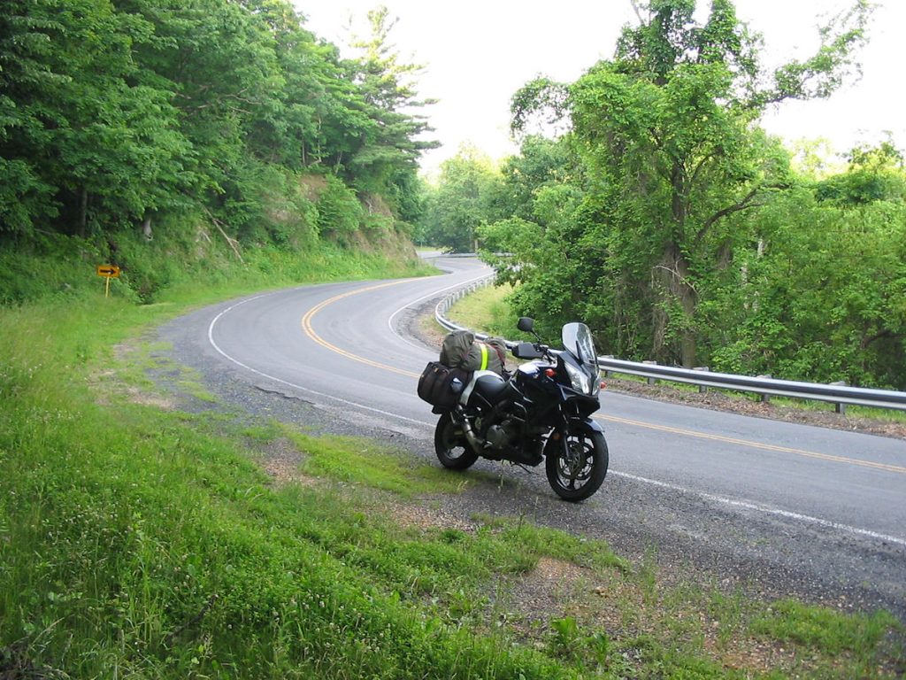
Nice curves, but rough pavement. If they ever repave Rt 250, it will be a great ride.
Up ahead on the right, it’s a Crown Vic police interceptor, waiting for speeders. Not me.
is my grandparents’ farm. It’s still hazy at 8:30am.
Am I at Deal’s Gap already?
QUIZ
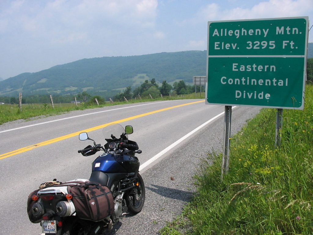
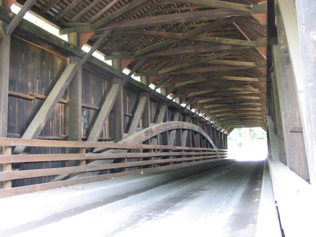
OK, this is where it gets weird. Here’s a quiz. I’m going eastbound. I come up to the Blue Ridge Parkway, which runs north and south. I want to go south. So, I should turn right. Right? Except, I pass under a road with a stone bridge, just like the ones on the BRP. Then the road turns right (south) for a few miles, then right again. I’m thinking I passed under the BRP and am now approaching from the east (facing westbound). Now which way is south? Left. Well, that’s the direction I went without looking closely at the verrrry small sign. There are no “North” or “South” signs on the BRP. Only after an hour did I notice the small cement mile markers were getting smaller. Then, I passed the James River. Wait a minute!!! The James River is NORTH of where I got on. Oh crap!!!! I’ve been going north for the past hour and 15 minutes. I should have been looking at signs rather than the scenery. By the time I got back to where I started, I had been on the parkway 2 and a half hours. Now it’s 2:30, and I still have 250 miles to go. I was not happy.
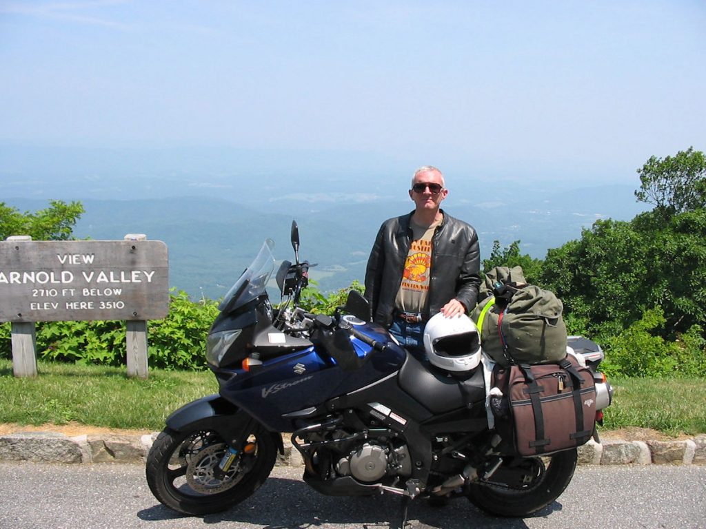
I figured out north from south. Nice view, though.
Day 8 – Visiting and eating.
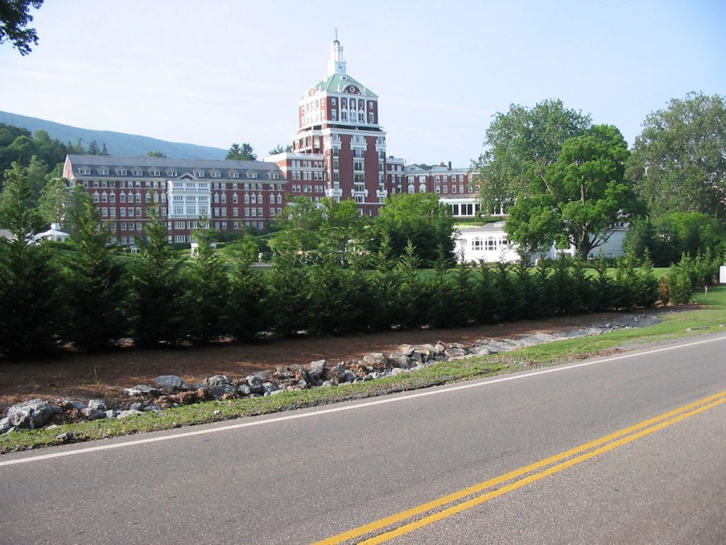
I spent Sunday evening and Monday visiting Rev. Edsil Bragg and his wife Lovern in Lexington, SC, just on the western edge of Columbia. They were at our church in West Virginia my senior year of high school and as I was at the university. We’ve kept in touch all these years throughout many moves – Virginia, Alaska, Nebraska, Germany, and now Illinois. I had a great time, and Lovern made some great meals. Thanks!!!!
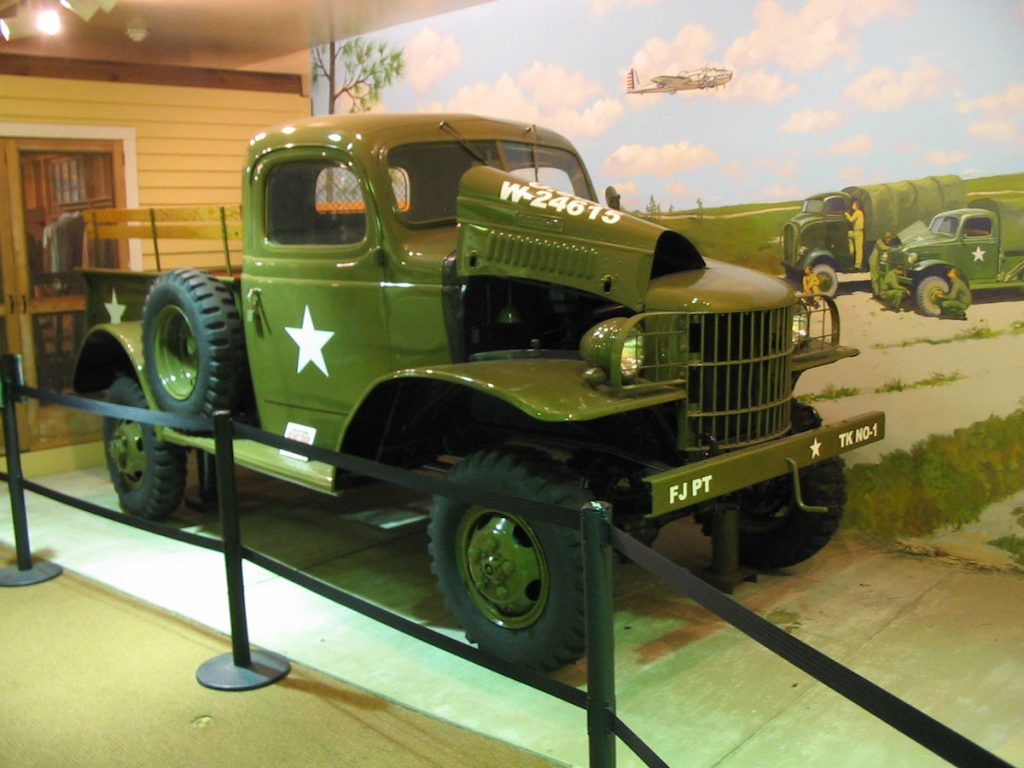
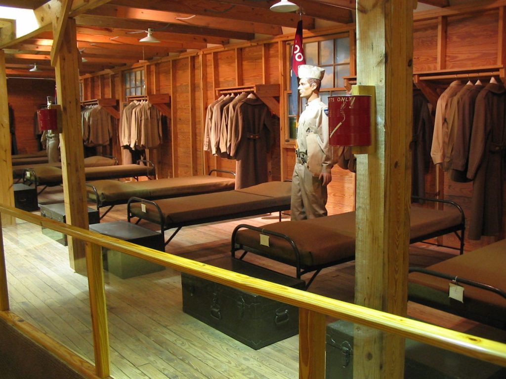
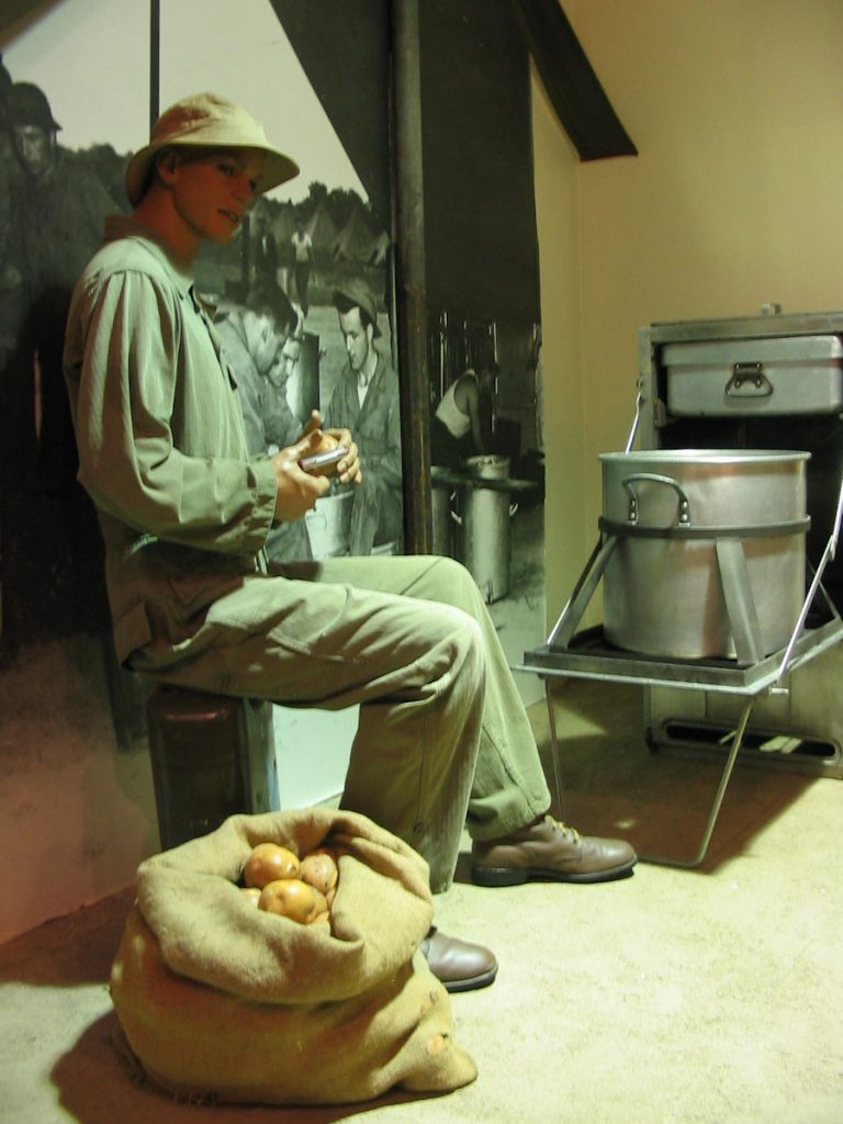
We drove over to Fort Jackson on the other side of Columbia for the day. There was a very nice museum there with displays of Army training, and of Army life in general.
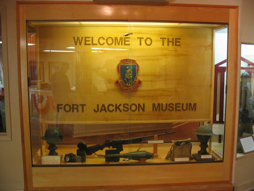
(Did I spell that right, Mr. Quayle?)
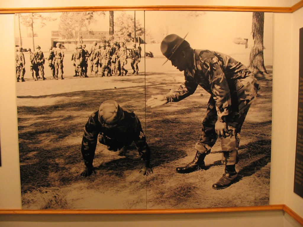
Drill Sgt “encouraging” a recruit to do better.
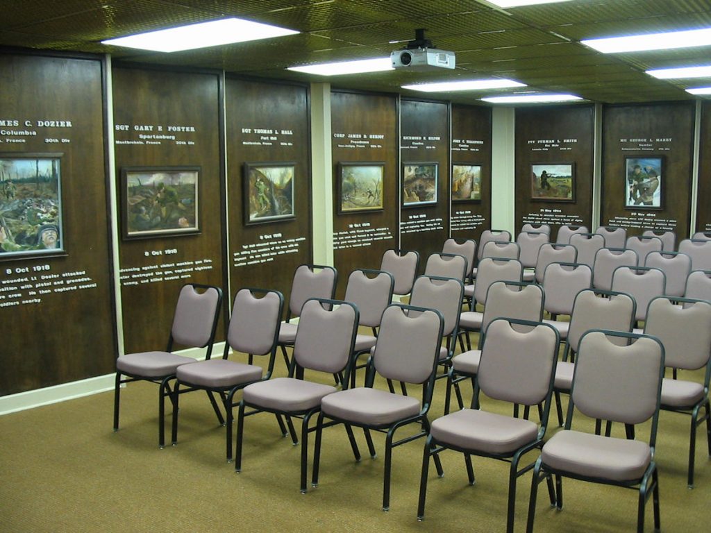
for their country and who awarded the Medal of Honor for extraordinary acts of bravery.
Later, we attended a great fireworks display on the base (even though it was July 3rd).
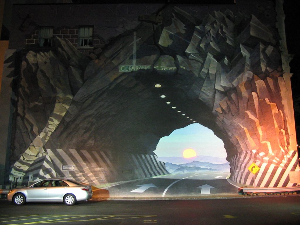
What is cool is that it is painted on the side of a building.
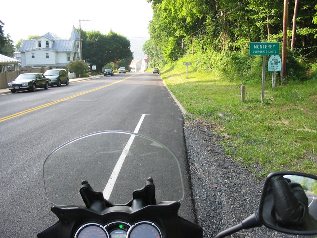
Day 9 – Lexington SC to Deals Gap NC
335 Miles
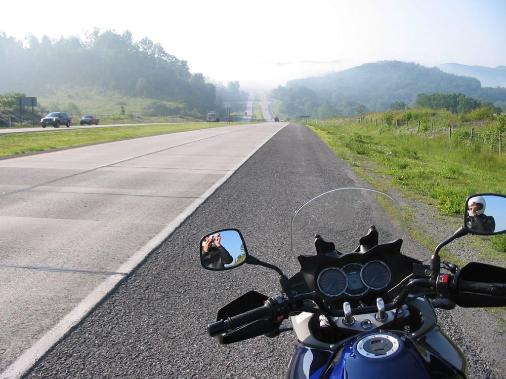
I was up early, but not as early as usual, had a bowl of cereal with Edsil Bragg and was on the road by 6:30 am. It was a beautiful morning, and the Weather Channel said just a slight chance of afternoon thunderstorms up in western North Carolina. The day will prove them to be good forecasters.
Leaving in the morning also had another advantage. Instead of the 100-degree temperatures from the previous afternoon, it was a more-manageable 70 degrees.
so I jumped right on I-26 and headed northwest through Greenville.
Great road!!! Getting warmed up for Deals Gap.
and I was looking forward to riding Deals Gap that afternoon.
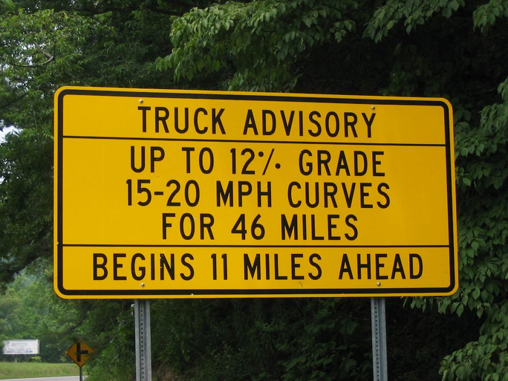
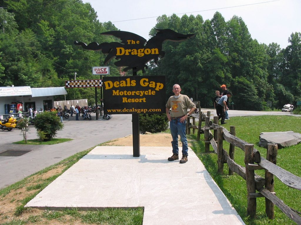
Transylvania County!!! I think I’ll order extra garlic on my burger at lunch.
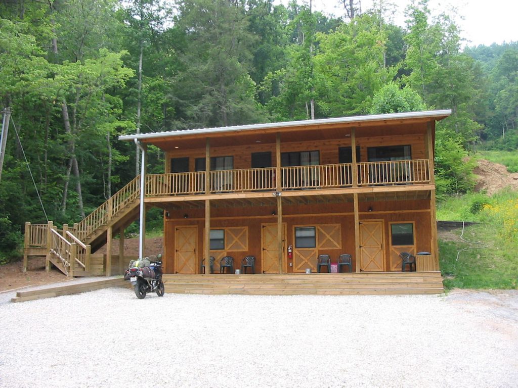
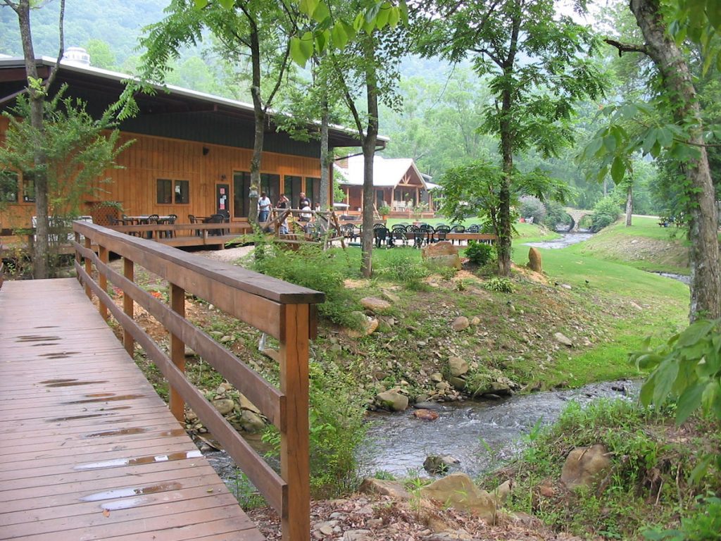
All of the weekend guests have gone home, though, so I just about had the place to myself.
The restaurant and registration office are behind me as I took this picture.
I had a bed reserved in the bunk house. This building has several rooms that have 4 folding beds, complete with a stack of sheets, blanket, towels, and pillow. Wash room is the last door on the right.
More information: http://www.ironhorsenc.com/
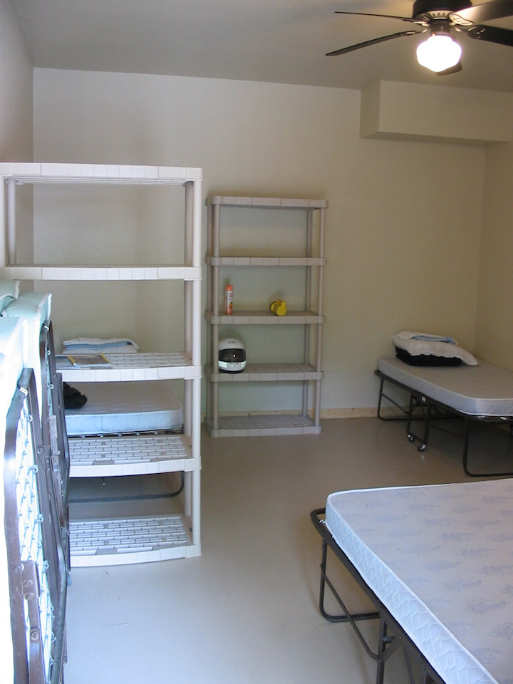
Plain, but VERY clean!
After dropping off my luggage and resting my eyes for about 30 minutes,
it was off to Deals Gap, about 15 miles away.
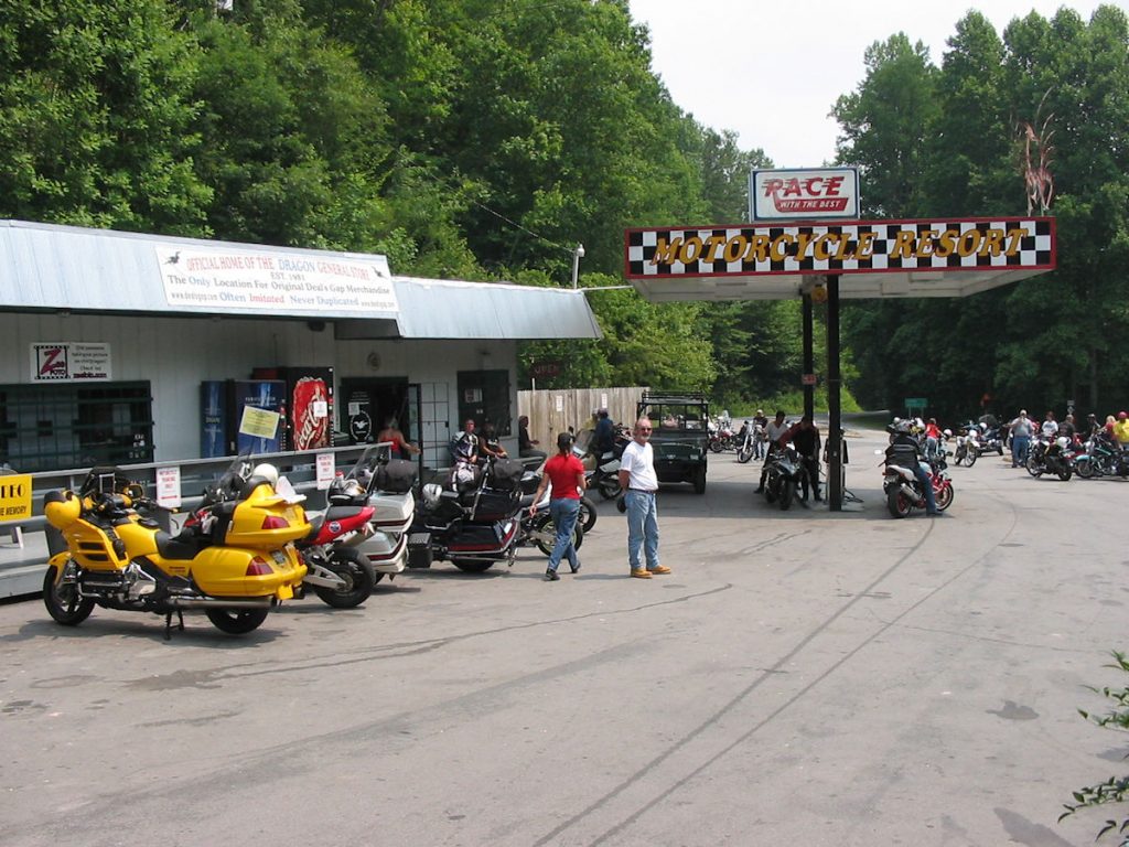
It wasn’t as crowded as I expected since most bikers
had gone home after the long weekend.
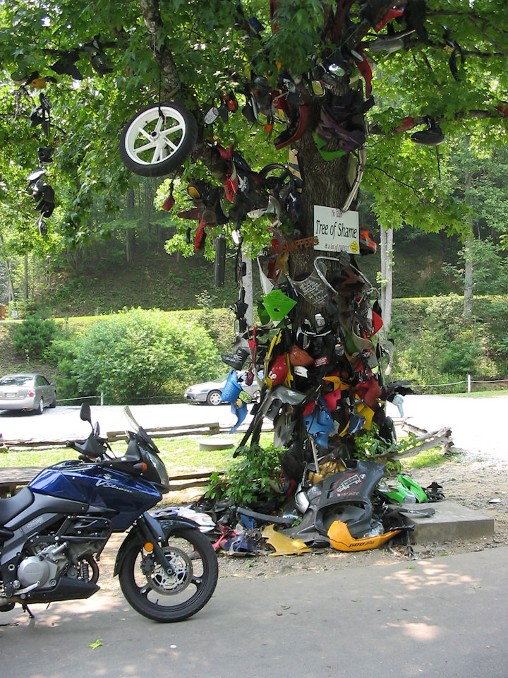
This is where people who wreck their bikes on Deals Gap put a piece of their bike.
It’s layered with bent and broken pieces off every brand bike you can think of.
I did not contribute, thank you!
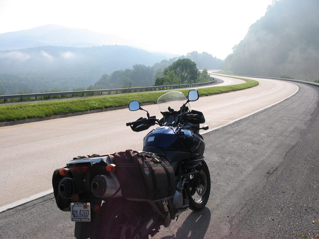
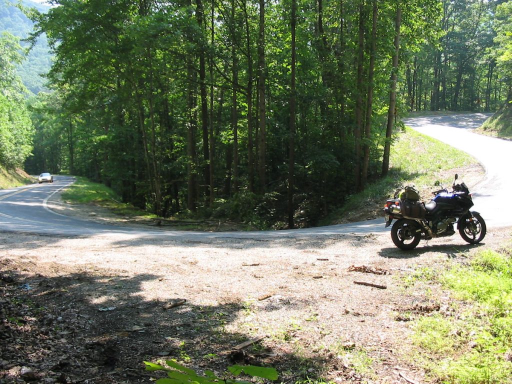
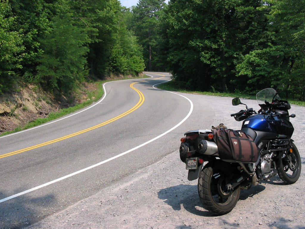
It is Rt 129 across the border from North Carolina into Tennessee, and has earned the nickname “Tail of the Dragon”.
I know places in West Virginia they would call that a straight section of road. It was very twisty and went up and down the steep mountain,
but I think some of it is marketing hype. There are plenty of other great roads.
This one just has a lot of advertising. Still, it was fun. Been there, done that, bought the T-Shirt.
More information: http://www.tailofthedragon.com/
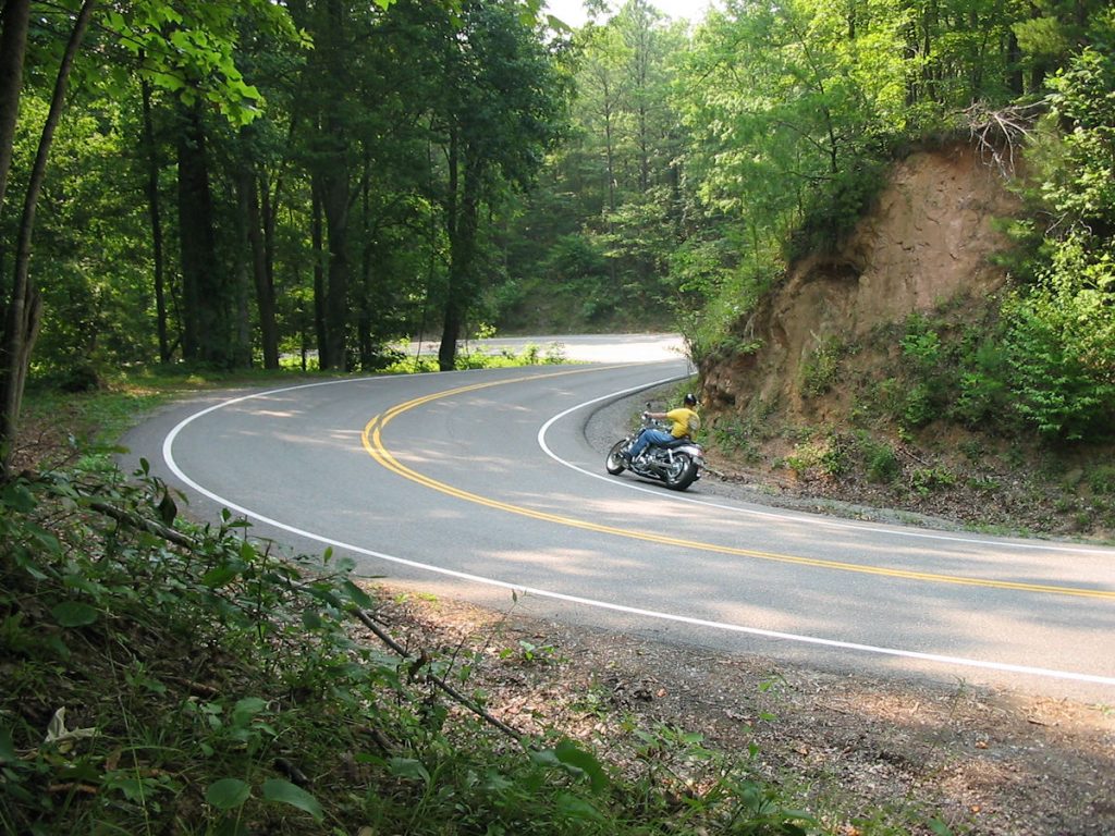
I tamed the Dragon, and left no pieces for the Tree of Shame.
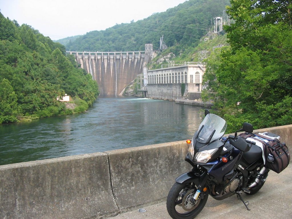
down the road from the Deals Gap Resort, I passed the Cheoah Dam. This is the dam
Harrison Ford did the Peter Pan dive off of in the movie “The Fugitive”.
with high winds and rain. Glad I was back from the ride.
I sat on the porch by my room and watched the storm for a while, then headed to bed.
Tomorrow is a long ride back to Illinois.
A great day riding!!! God is VERY good!!!
Day 10 – Deals Gap NC to Illinois
559 Miles
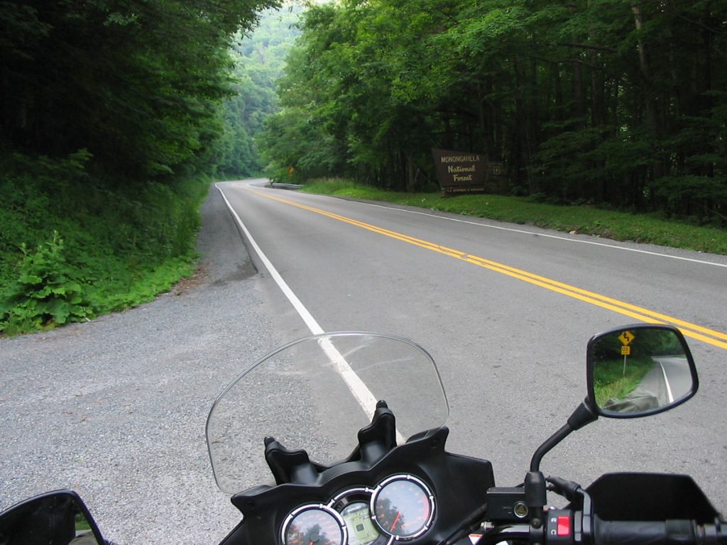
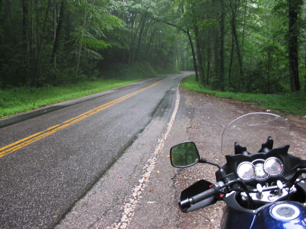
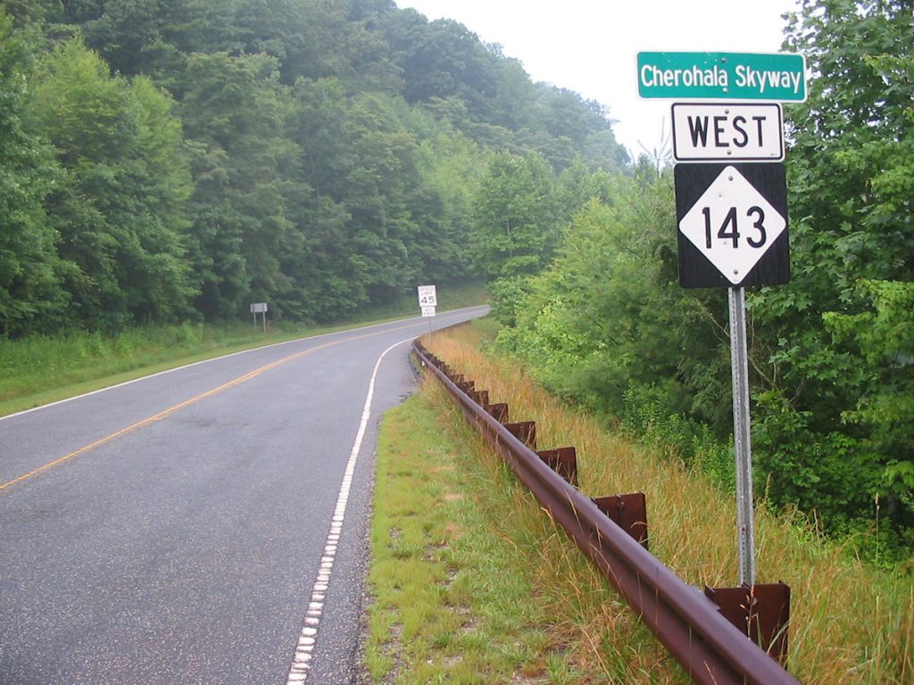
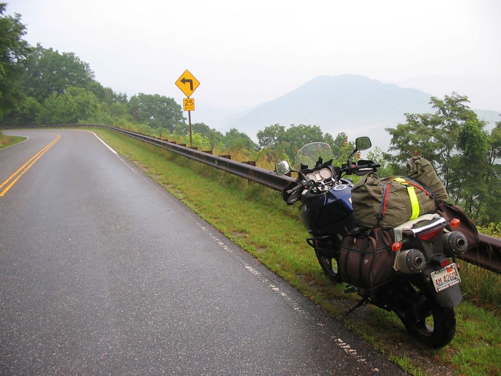
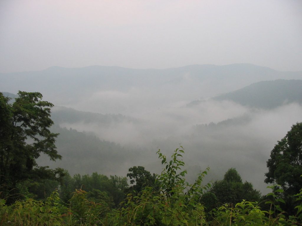
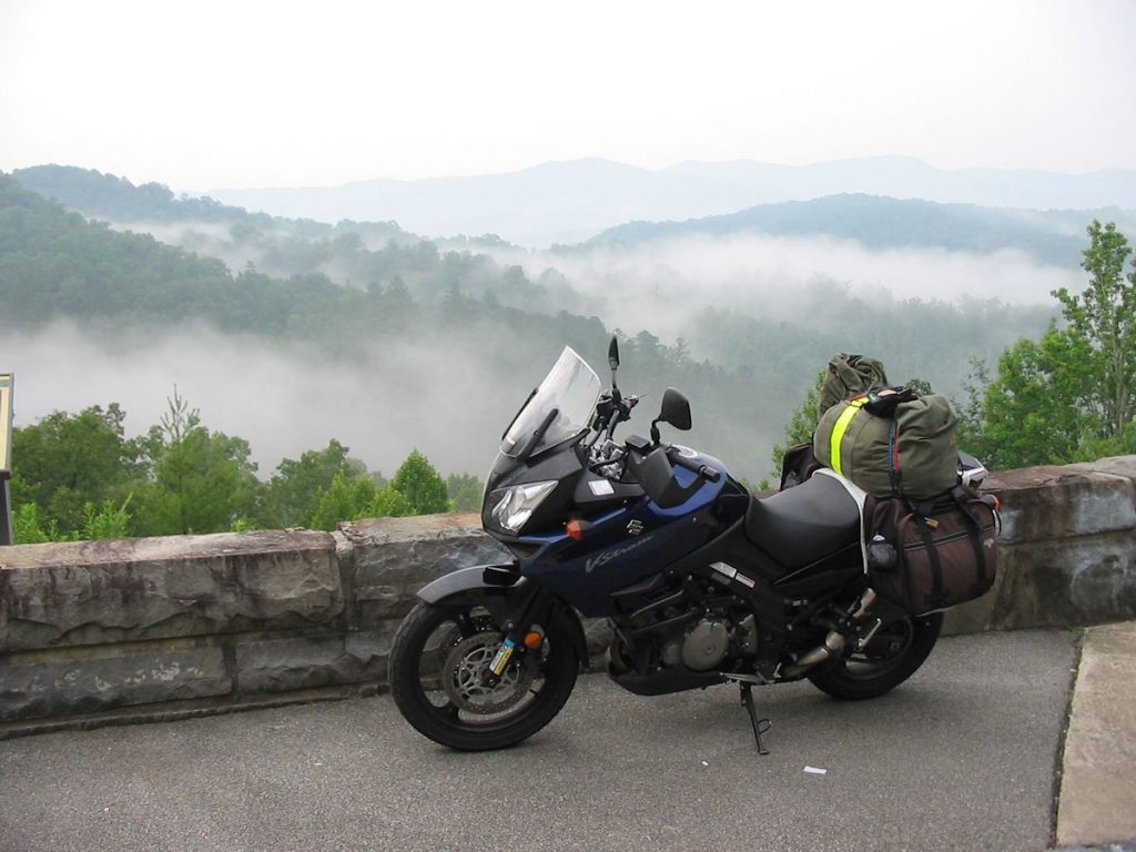
Awake at 5:15 am, I packed my gear and headed out of the Iron Horse Lodge at 5:45, as slowly and quietly as possible. I was apparently the only one stirring at that hour. A light drizzle left over from last night’s storm convinced me to put on the rain suit. I headed down the road to Robbinsville for an Egg McMuffin (one of God’s greatest gifts to mankind!). After eating and filling up with gas (two separate events, folks), I headed out of Robbinsville on Rt 143 east, which turns into the Cherohala Skyway about 10 miles later. The skyway is a 40-mile section of scenic road that runs along the top of the ridges between North Carolina into Tennessee, ending at Tellico Plains. It connects the Cherokee National Forest and the Nantahala National Forest. It was surreal, with the morning fog and light drizzle, and no traffic. In fact, the first car I passed was 30 miles later, just 10 miles before the end of the road. I love early morning drives!
I didn’t see another person for the next 30 miles.
For more information on the Cherohala Skyway, click here:
http://www.cherohala.com/
After passing through Tellico Plains, I headed northwest up Rt 68 to get on I-40 near Crossville, then head west to Nashville.
The rain started about 8:00 and poured it down hard until mid-afternoon.
It would rain hard like this for about 300 miles. At least it was very warm.
My bright yellow rain suit kept me very dry, except for my feet.
When I reached Paducah, Kentucky, the rain stopped and the sun came out. Unfortunately, the wind started. I wrestled against 30mph crosswinds the rest of the ride home. I arrived home at about 6:00 pm tired but very happy.
The V-Strom performed flawlessly. Even when pushed hard, I averaged just over 40 MPG, even with me and about 75 pounds of luggage. I was comfortable, and had plenty of room to stretch my legs and for luggage. All in all, it’s an excellent bike for all types of roads.
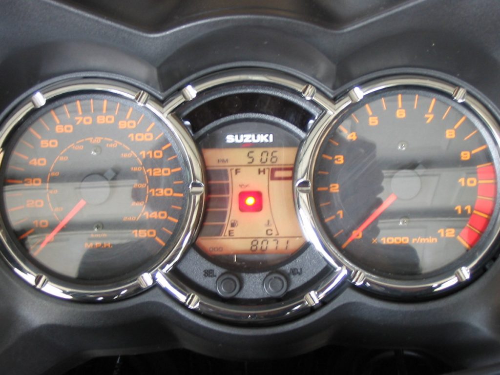
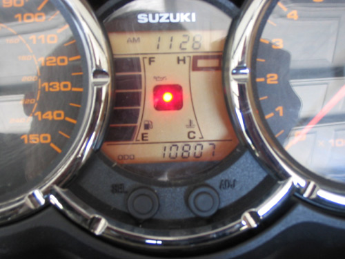
Final mileage: 10807
Start mileage: 8071
Trip total: 2736
Not bad considering I was only on the bike 6 out of 10 days.
Thanks for joining me on Retirement Ride #2!