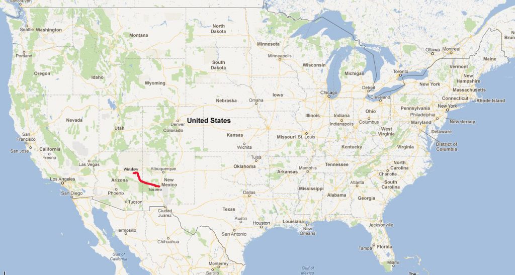
Socorro, New Mexico to Winslow, Arizona via Petrified Forest National Park
We have a full schedule on our plate for today, so we were on the road early. We want to see the VLA (Very Large Array), a collection of 27 large radio telescopes set up in 3 lines spanning out several miles in a large valley. Also on the list is Pie Town, known for… what else? And that’s before we even cross into Arizona to see our first National Park of this trip!
Let’s go!
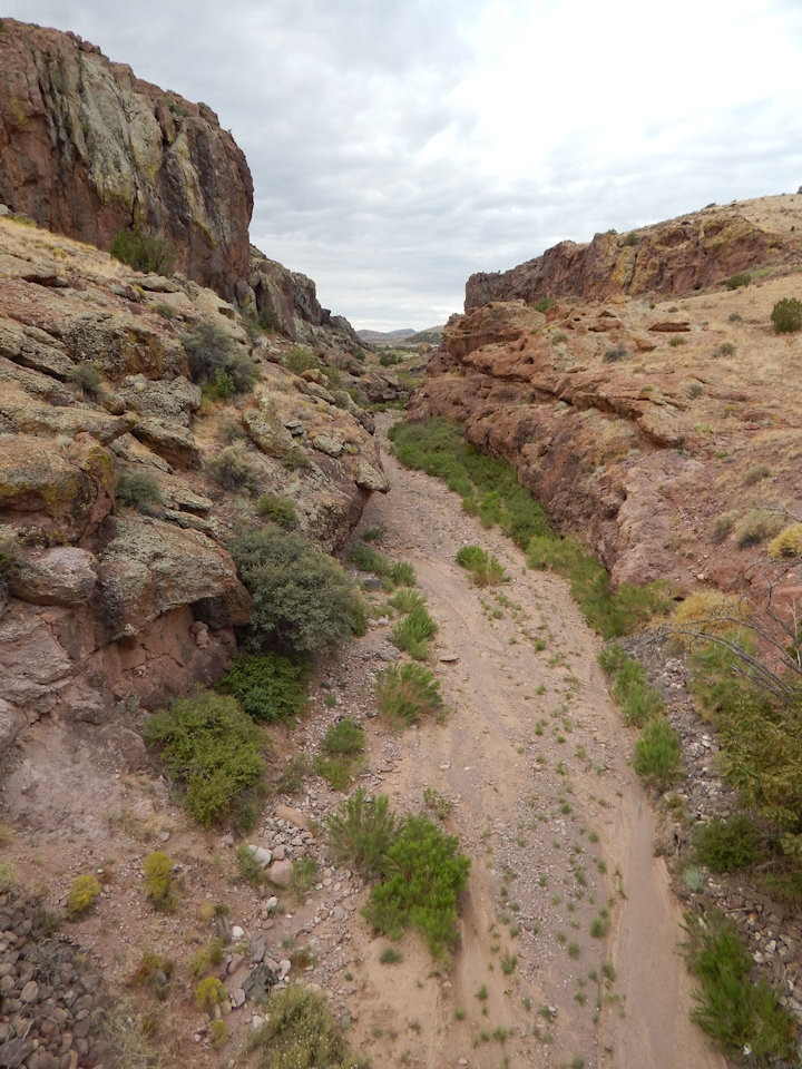
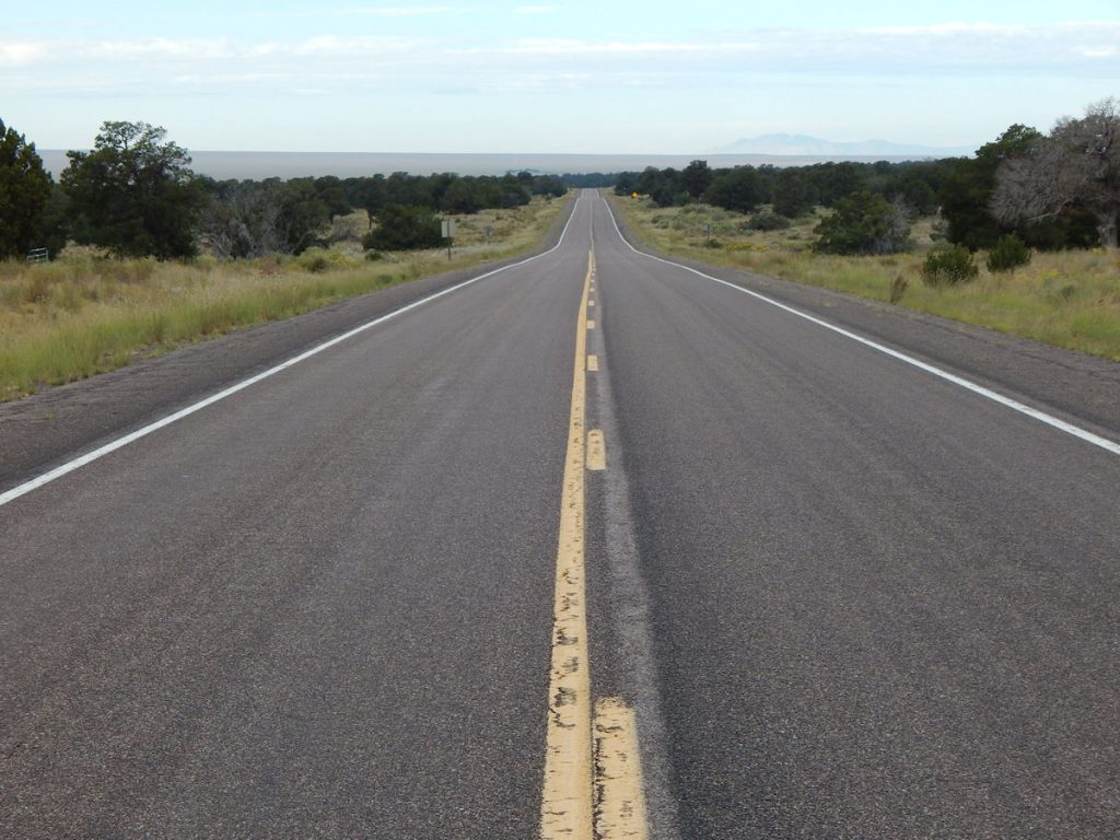
The first half hour out of Socorro heading west, we passed through several rocky gulches as we gained altitude. Socorro lies at 4,500 feet in elevation. Soon we would be at over 6,000 feet.
Still climbing towards 6,000 feet elevation west of Socorro.
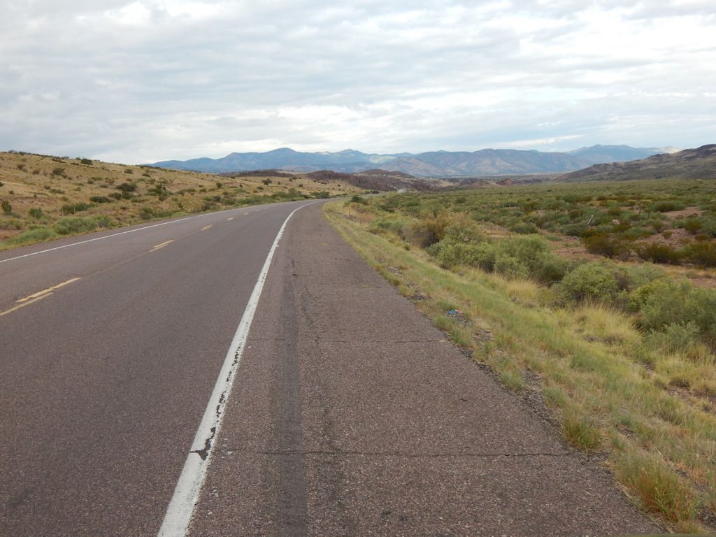
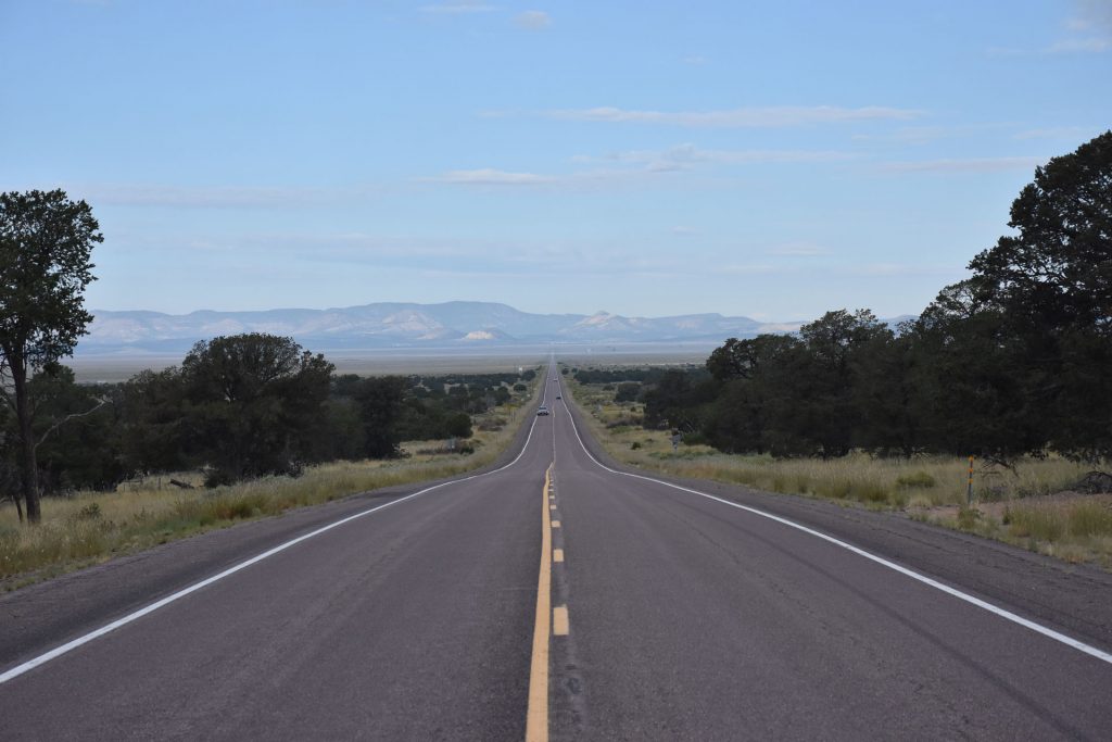
Shortly after leaving Socorro, we came out of the rocks onto a high plain.
For the next hour, we cruised along this flat valley. It looks like we are in the lowlands, but the road is at 6,000 feet elevation and the surrounding mountains average 9,000-10,000 feet.
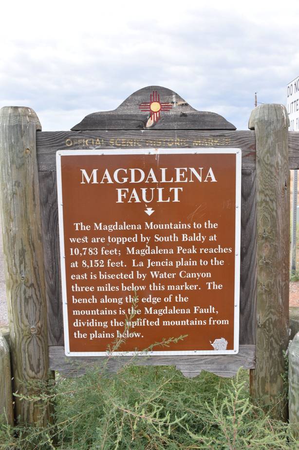
A brief geology lesson at a roadside marker.
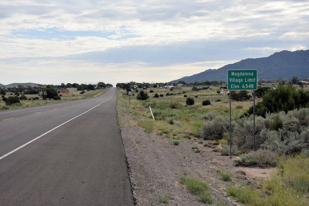
Soon, we reached the quiet town of Magdalena, New Mexico. Elevation 6,548 feet yet surrounded by tall mountains.
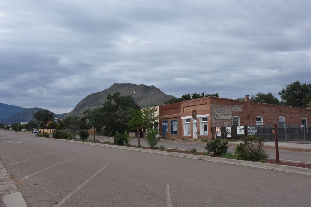
Looks like an old western town. The surrounding mountains are around 11,000 feet elevation. This is not how I pictured New Mexico. I always thought it was just flat deserts. Glad we took this trip!
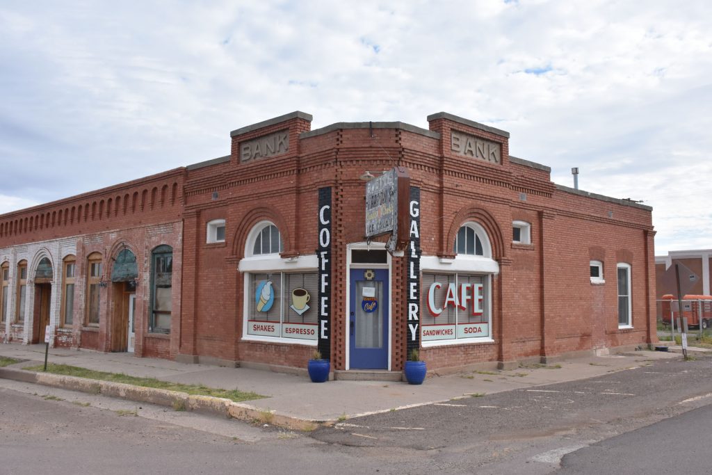
Cool old bank building on Main Street. Now a coffee shop and gallery.
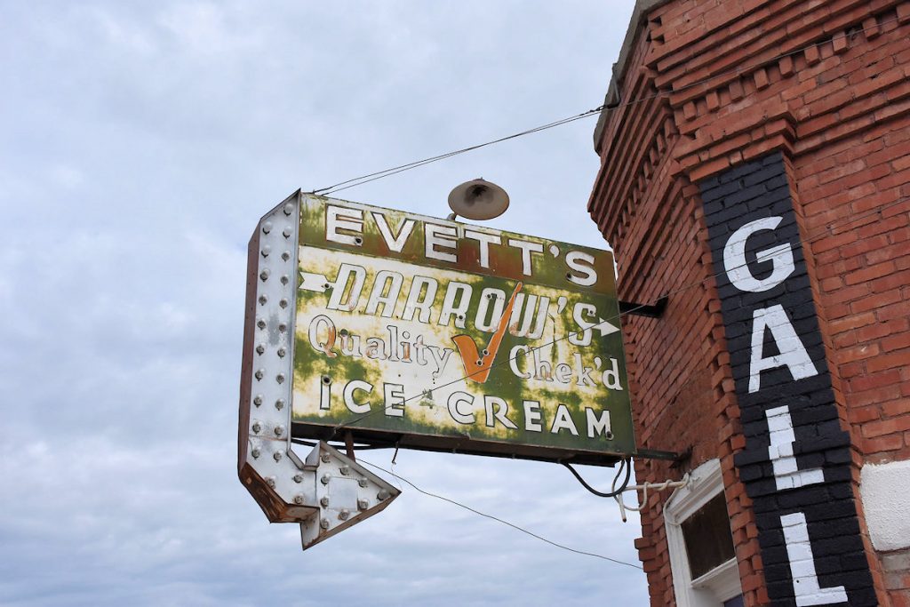
I love old signs.
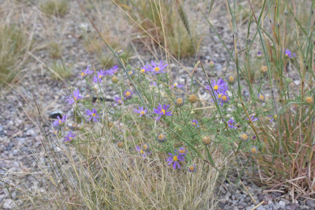
Nice roadside flowers.
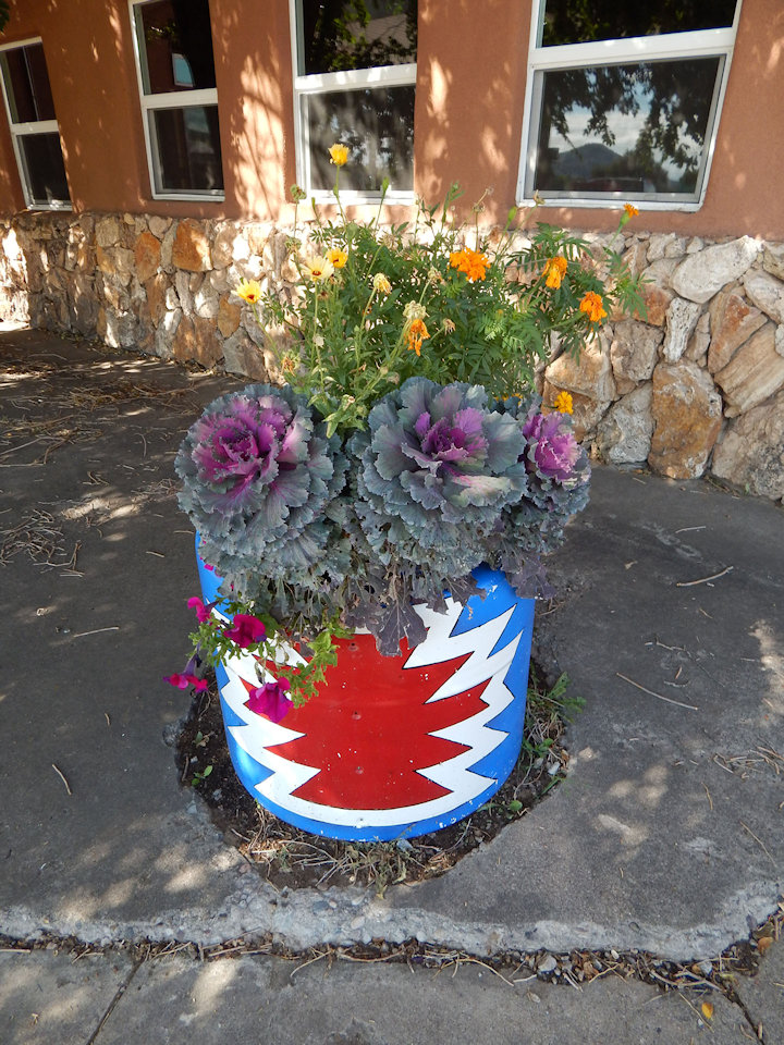
Beth liked this flower arrangement at one of our rest stops.
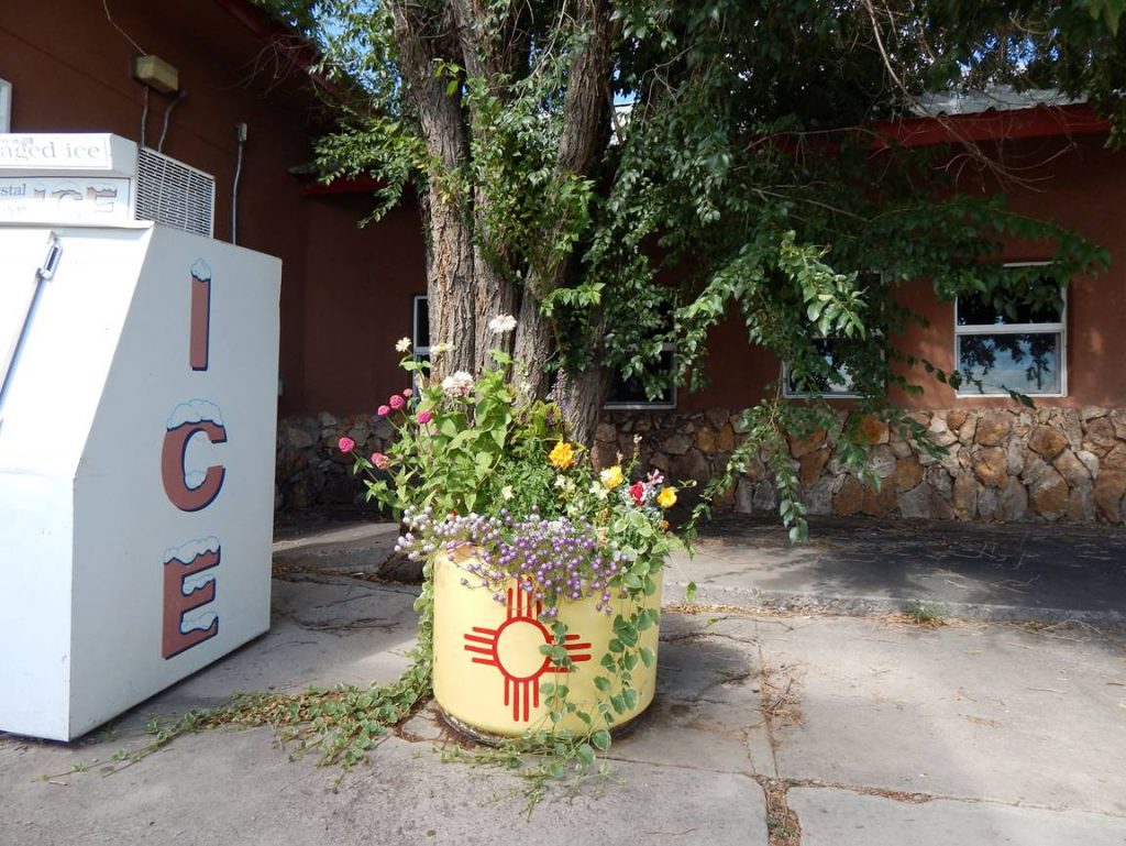
Another nice flower arrangement nearby.
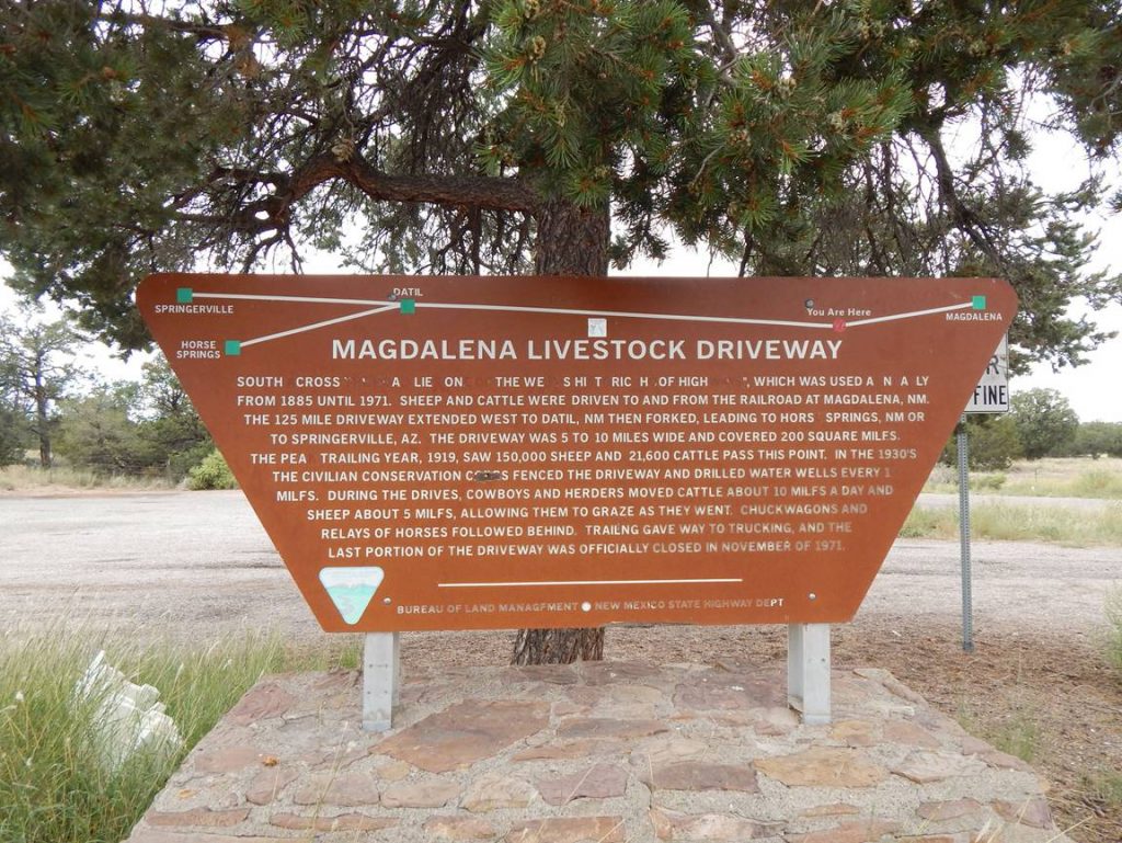
Just west of Magdalena, we came across this sign telling of how this was a major highway for cattle drives for nearly 100 years. Unfortunately, some miscreants had more free time than they needed to vandalize the sign.
View down the highway from the sign. It’s easy to imagine thousands of sheep and cattle being herded past here years ago.
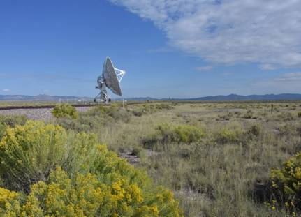
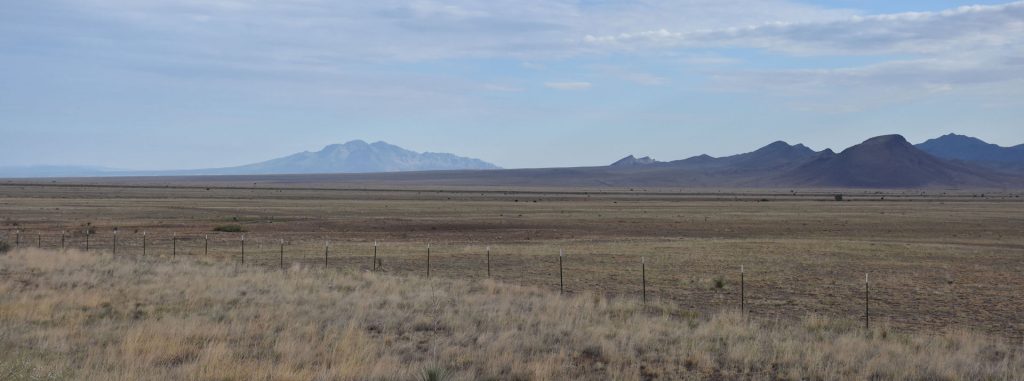
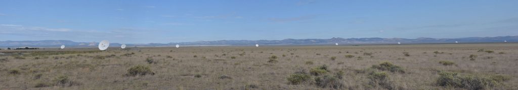
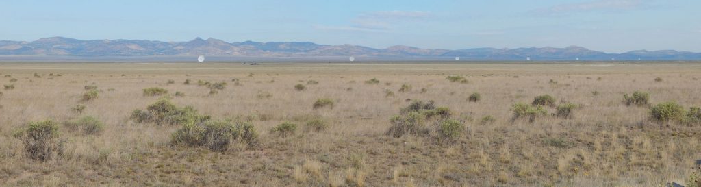
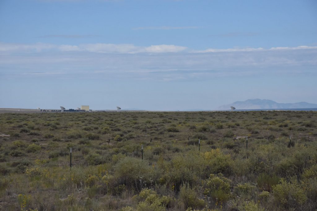
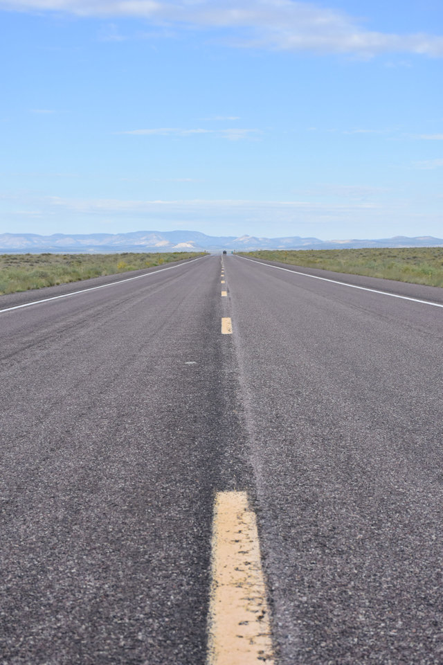
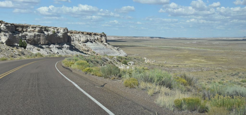
Shortly after leaving Magdalena heading west on Rt 60, we came to this nice view. From this point to the mountains in the distance was about 18 miles. I guess someone figured out that a Very Large Valley would be a great home to the Very Large Array.
What is a Very Large Array (VLA)? It is a collection of 27 large radio telescopes, with 9 each on 3 “arms” reaching out several miles from a center point. By connecting them in a special way, they act as one HUGE antenna 22 miles across. Very ingenious!
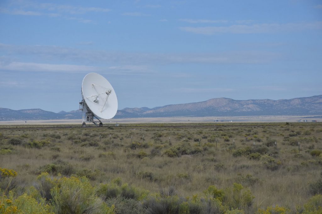
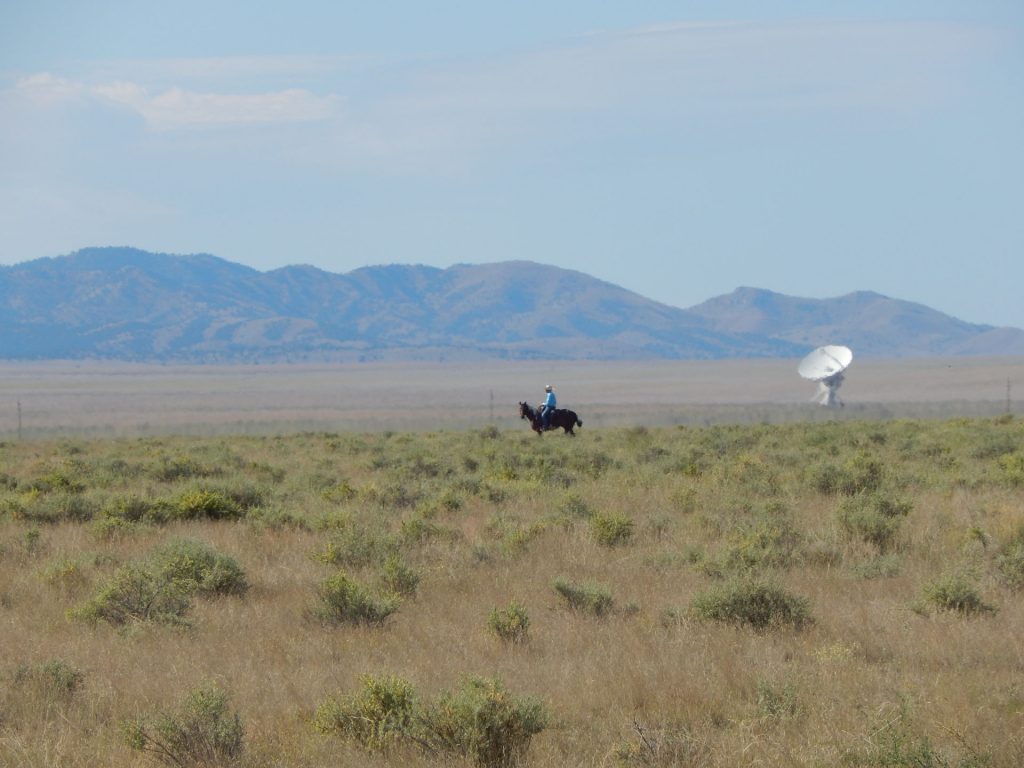
It’s hard to tell on a photo, but each of these antennas are about a mile apart. Mounted on railcars, they can be repositioned up to a 22 mile spread across the valley.
The three “arms” meet in the middle at this observatory. You can take tours and visit the gift shop if you have time. (We were too early)
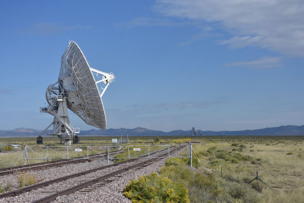
Here is one of the 82-foot-diameter dishes close-up. You can see the railroad track that allows these 230-ton dishes to move around the valley floor.
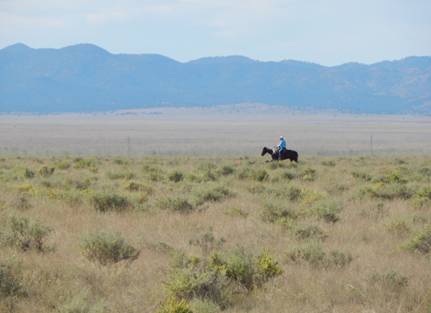
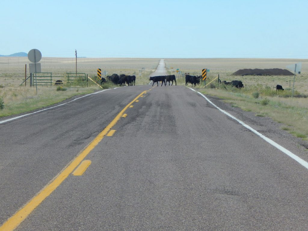
We thought we would circle around by the observatory, but they were closed. These cattle were guarding the road.
While we were looking around, this modern day cowboy gave a nice contrast of “then” and “now”.
Time to move on. We still have a National Park to explore today!
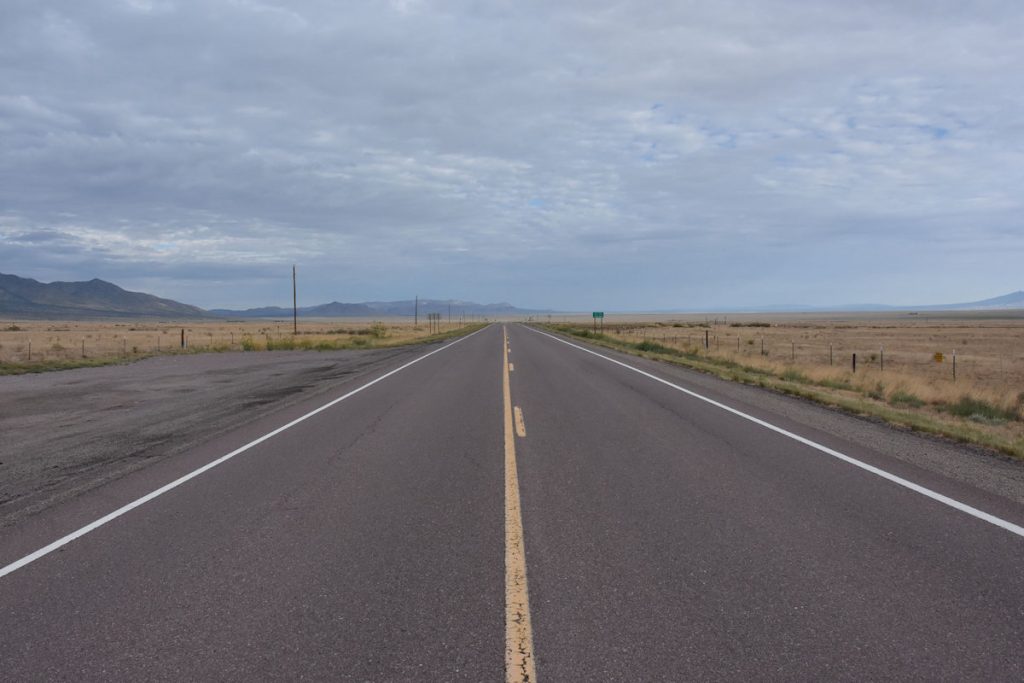
We continued on the 18-mile straightaway past the VLA towards the mountains.
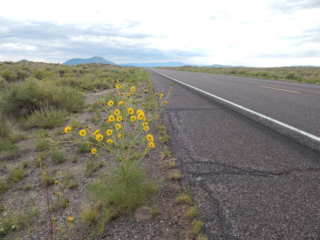
Even in this dry valley, pretty flowers find a way to thrive.
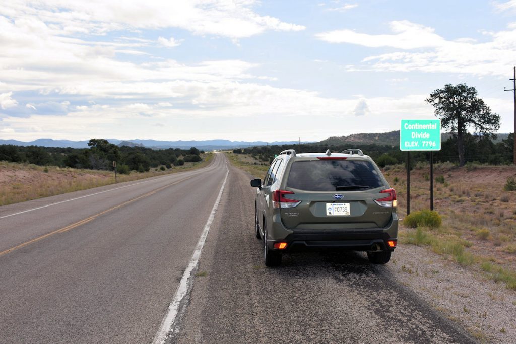
About 30 miles west of the VLA, we passed by the Continental Divide. (Elevation: 7,796 Feet) So far, this is the highest elevation of the trip. But not for long.
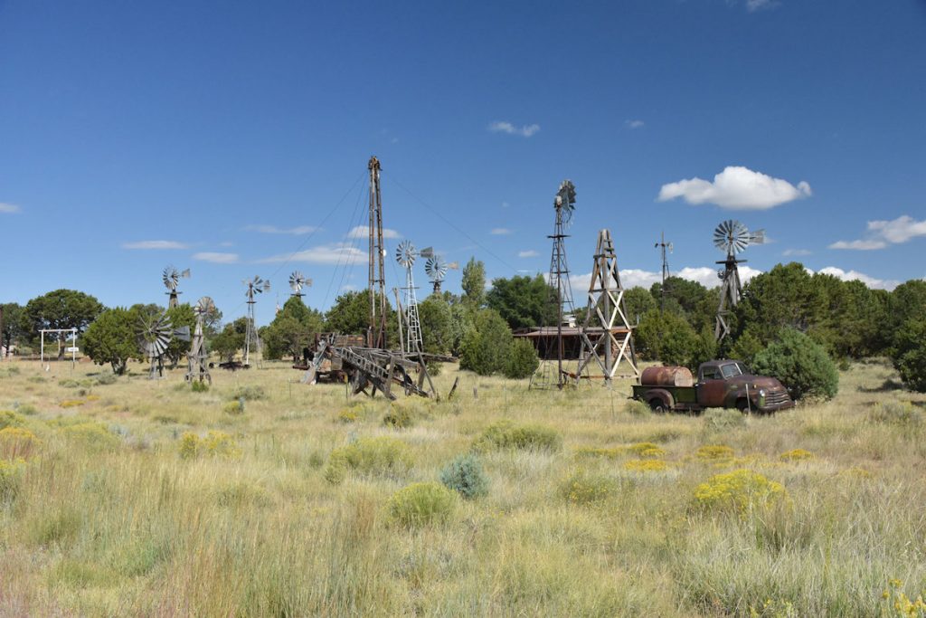
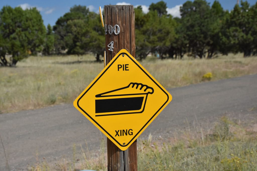
As we entered Pie Town (yes, that’s the actual name of the town!), we passed by this interesting collection of windmills and machinery.
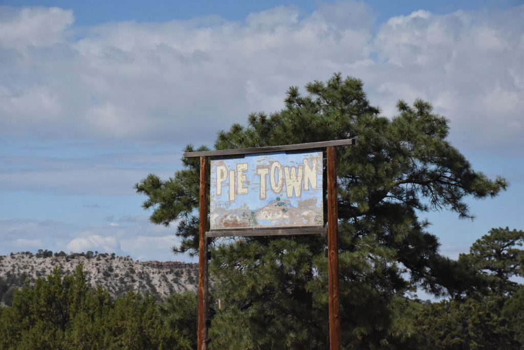
Good news! We’re in Pie Town. Bad news! We’re early risers, so nothing is open on Sunday morning at 9am. Oh well, at least we’ll take some pictures and look around.
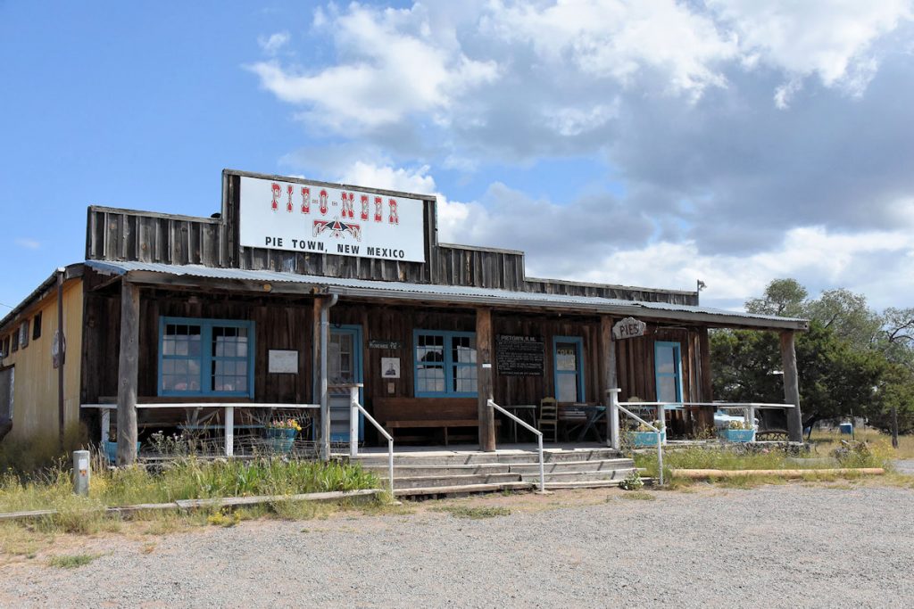
The PIE-O-NEER restaurant is famous for its pies. Just not at 9am on Sundays.
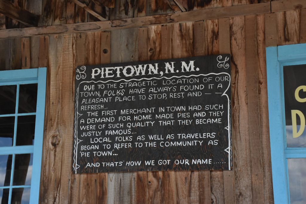
A brief history of this pie-eating community.
Slow down for pies!
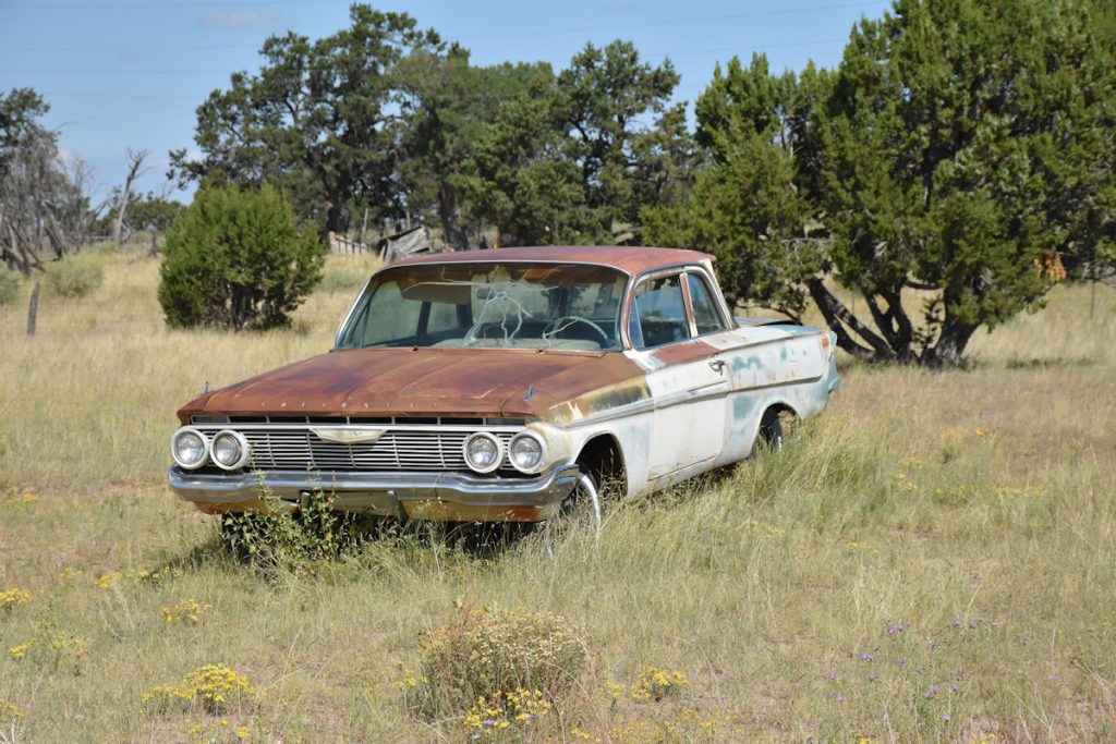
Cool 1961 Chevrolet! (We had a 1962 Chevy Bel Air when I was a kid)
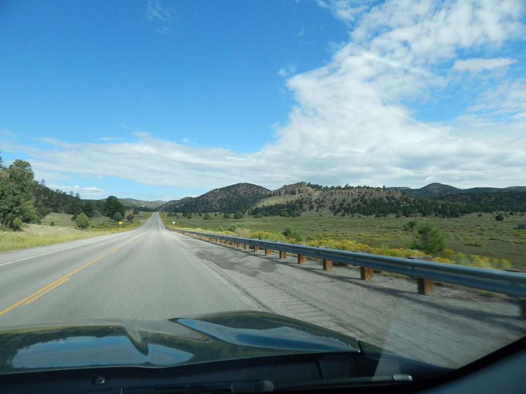
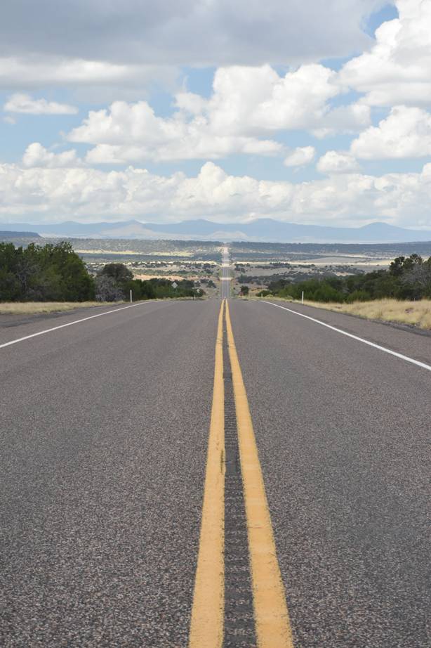
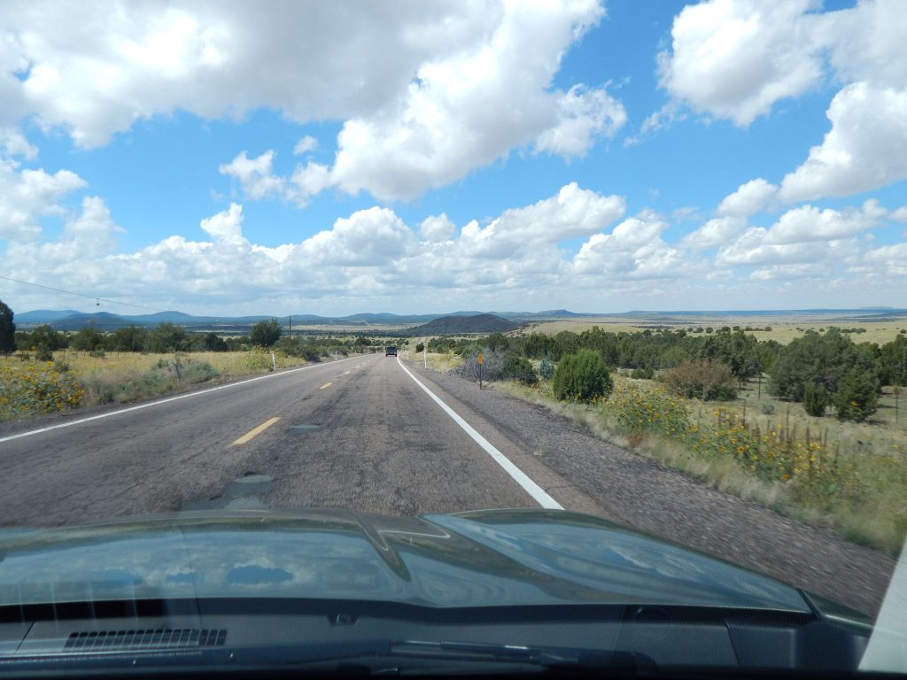
Western New Mexico – getting closer to Arizona.
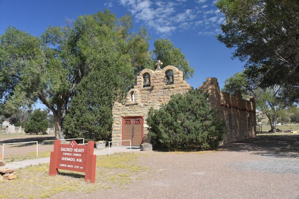
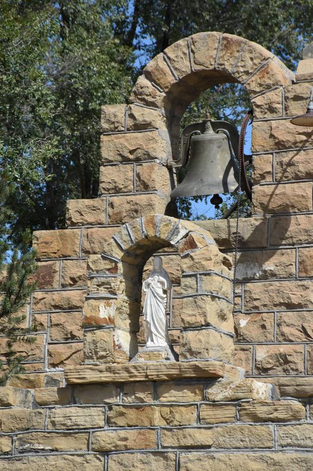
Sacred Heart Catholic Church in Quemado, New Mexico. Kind of looked like pictures I’ve seen of the Alamo.
Beautiful bell and statue on the bell tower.
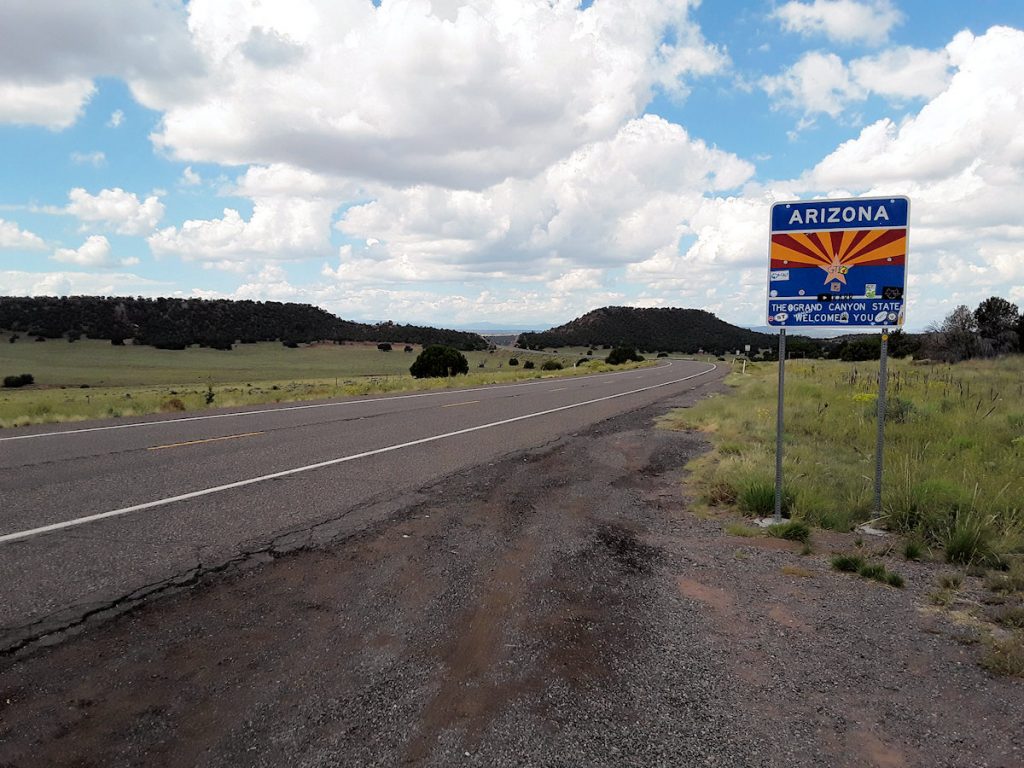
We’ve made it to the 9th state of our trip! Elevation is now 7,080 feet.
We approached Petrified Forest National Park from the south, coming through Eagar and Show Low.
On Rt 60 approaching Eagar up ahead.
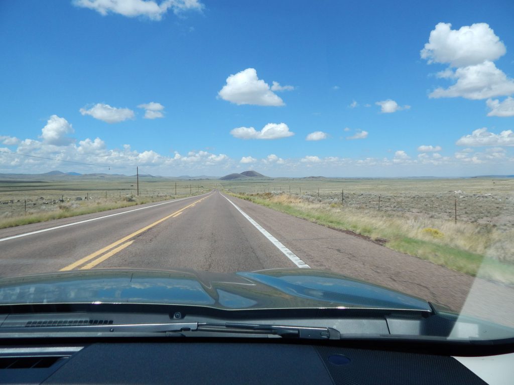
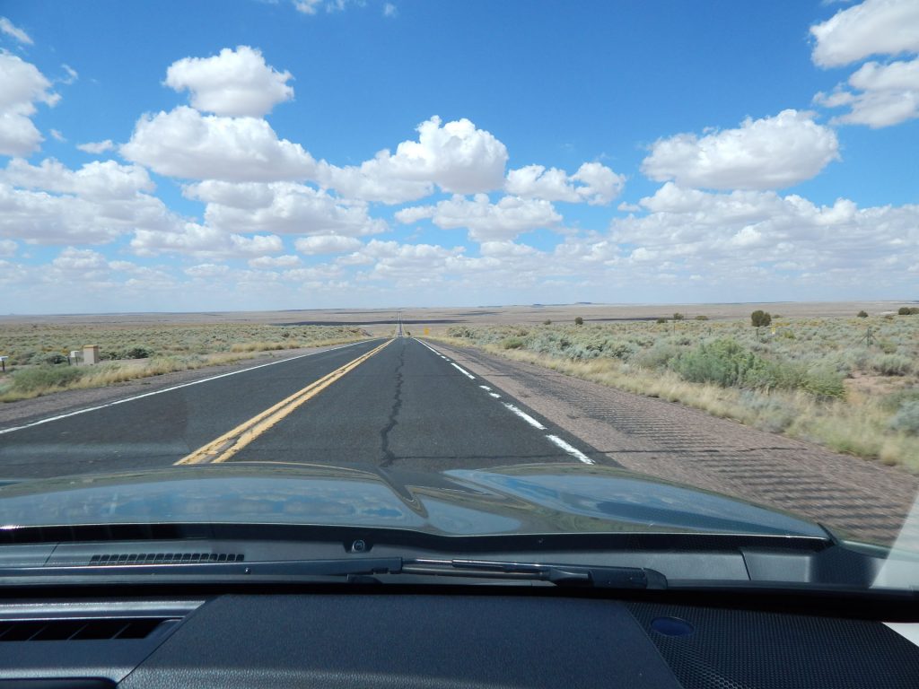
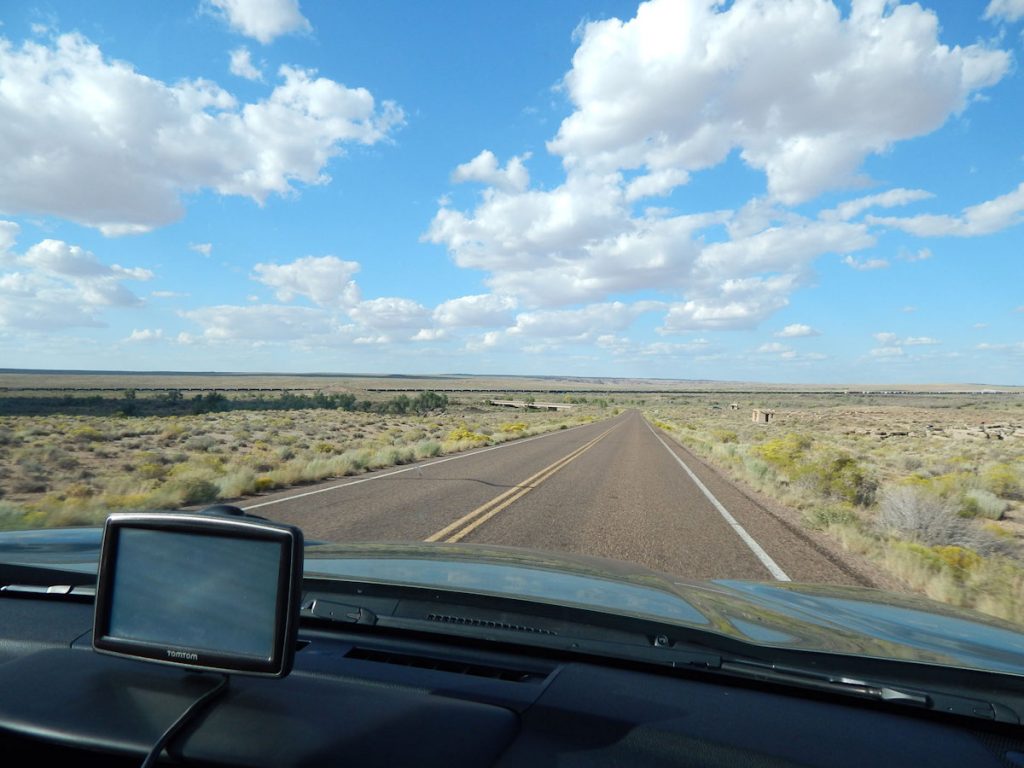
Getting closer to Petrified Forest National Park, Arizona. Only about an hour to go now.
Getting closer to the turn-off to Petrified Forest National Park.
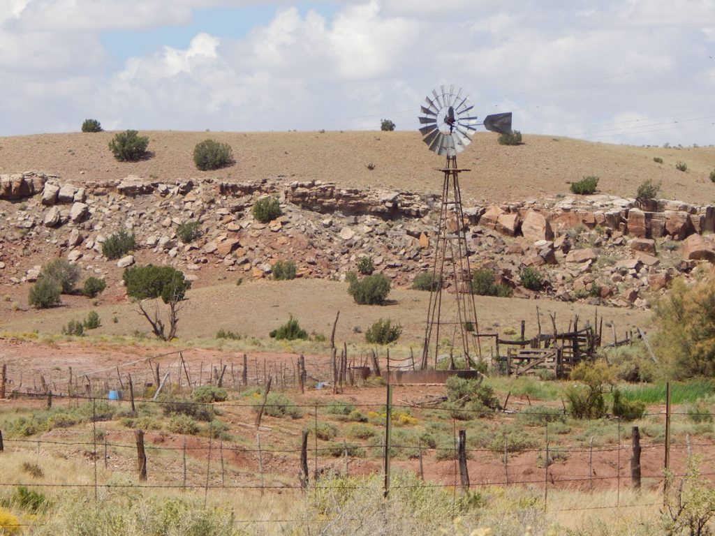
Another windmill pumping water up to the cattle.
There it is! Just a mile ahead is the turn to the right into Petrified Forest National Park. Hard to believe there was a forest here at one time, eh?
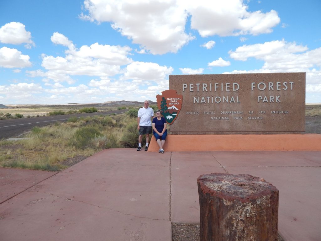
After nearly 2,300 miles, we have reached the first National Park on this trip. Yeah!
Petrified Forest National Park (PFNP) covers over 240 square miles at an elevation around 5,300-6,200 feet. It is known for its large deposits of petrified wood from the late Triassic Epoch nearly 225 million years ago. In addition to the namesake petrified trees, there is evidence of human habitation in the area in the form of petroglyphs on many of the rock formations.
Petrified Forest was declared a National Monument in 1906, and a National Park in 1962.
To be honest, Beth and I thought this would warrant a quick drive-through since it was on our way to the hotel.
It turned out to be one of our favorite stops of the trip.
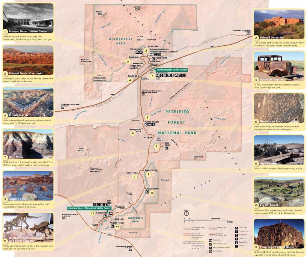
We started our tour of Petrified Forest NP at the south entrance (Numbers 11 and 12) and worked our way north. We will reference this map throughout the travelogue.
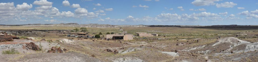
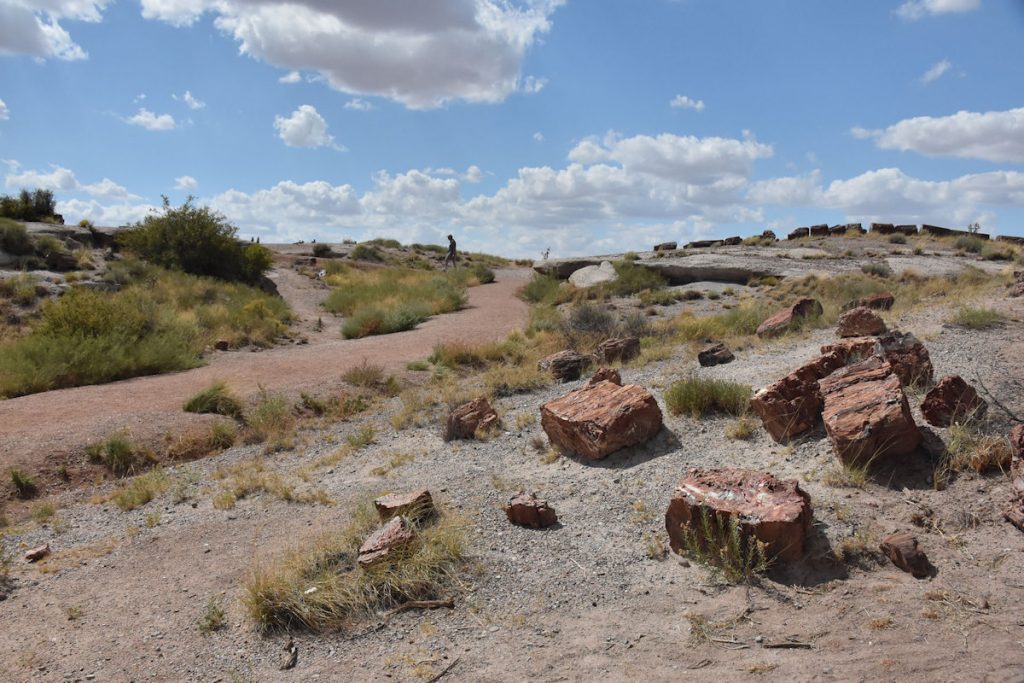
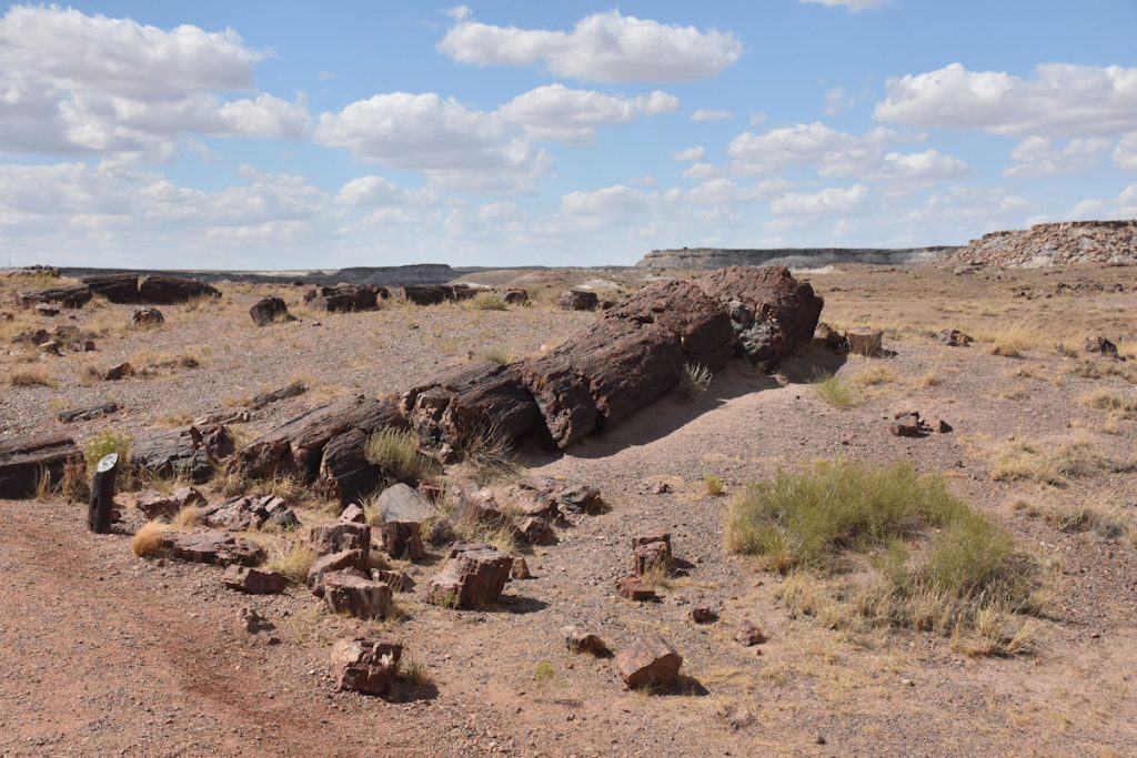
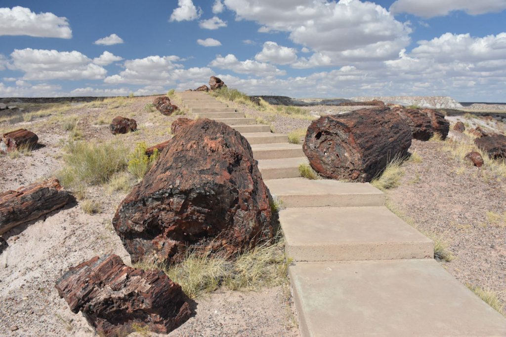
One of our first stops was the Visitor Center near the south entrance. In addition to gifts and interesting displays, there is a half-mile trail behind the building where you can walk among dozens and dozens of petrified trees. Very interesting! See all of those dark “boulders”? They are actually pieces of the petrified trees that have broken apart from age and weathering. (Reference Map #11)
Since we have been sitting in the car all day, we wisely decided to take the hike.
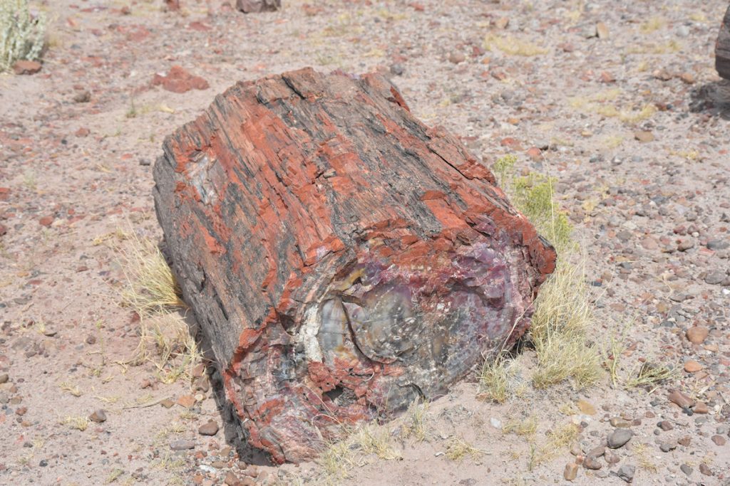
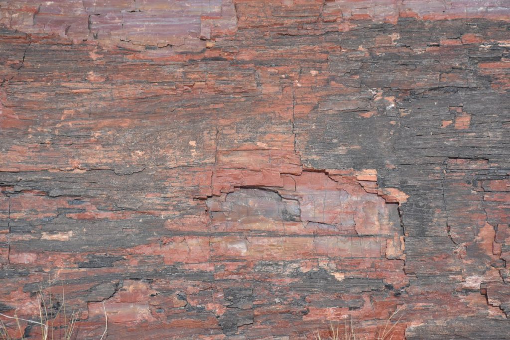
Each of these pieces has a unique color and pattern. Like snowflakes – no two alike.
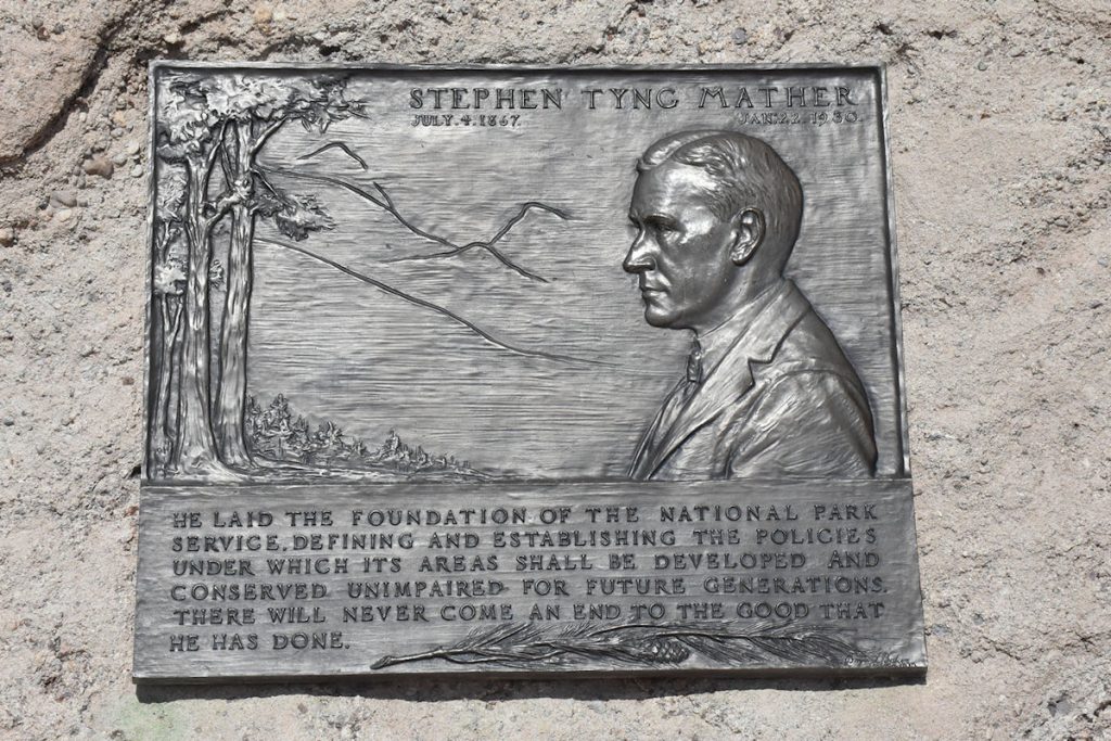
On the trail was this plaque commemorating Stephen Tyng Mather, who helped establish the National Park system.
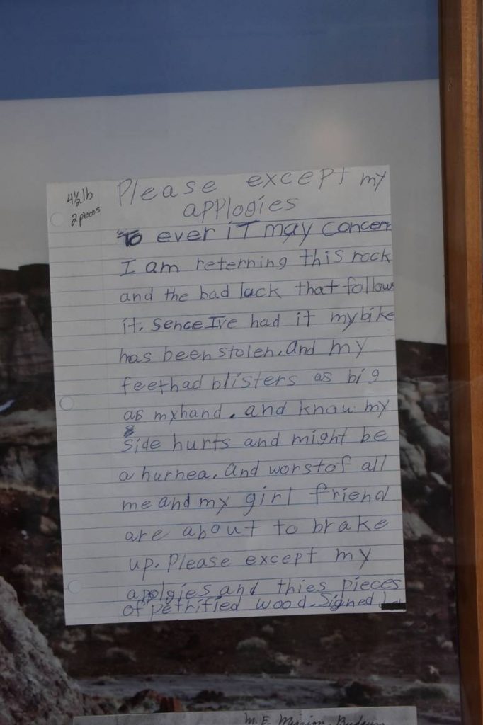
The Visitor Center stresses the importance of not taking any rocks as souvenirs. Some say thieves will be jinxed. This letter from a young man who apparently took a souvenirs explains his story.
Some of the examples were still relatively intact and showed how large the original log was.
There were many interesting patterns when the logs were viewed from up close.
The logs were not moved – rather, the trails and walkways were built around them.
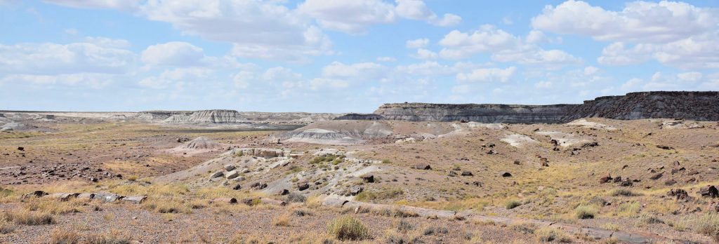
Next, we got in the car and started driving north through the park, a distance of about 30 miles. Around every corner came a new and breathtaking vista.
Another great view!
And another.
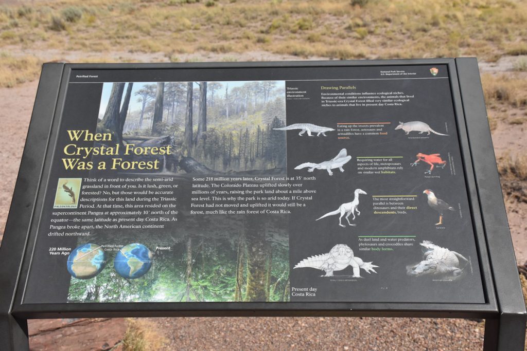
This plaque describes the next photo – Crystal Forest. During the Triassic Period, this area was actually near the equator near present-day Costa Rica. As the earth’s plates moved and were pushed upwards, what was once a sea-level tropical forest is now located at 7,000 feet elevation in the desert. (Reference Map #10)
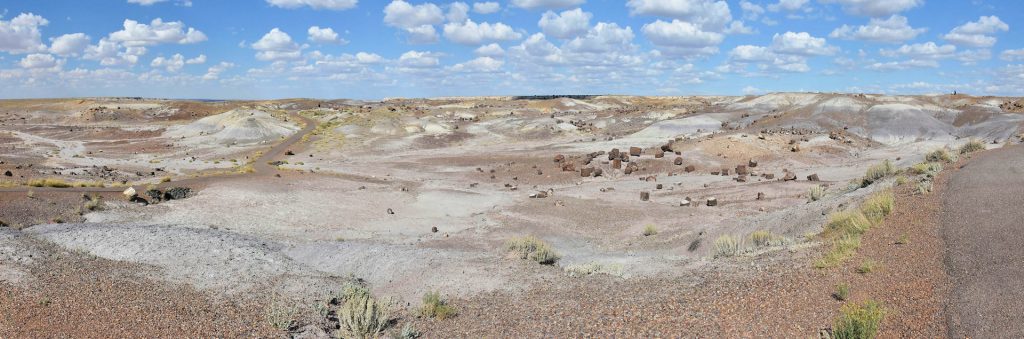
Another area of petrified trees.
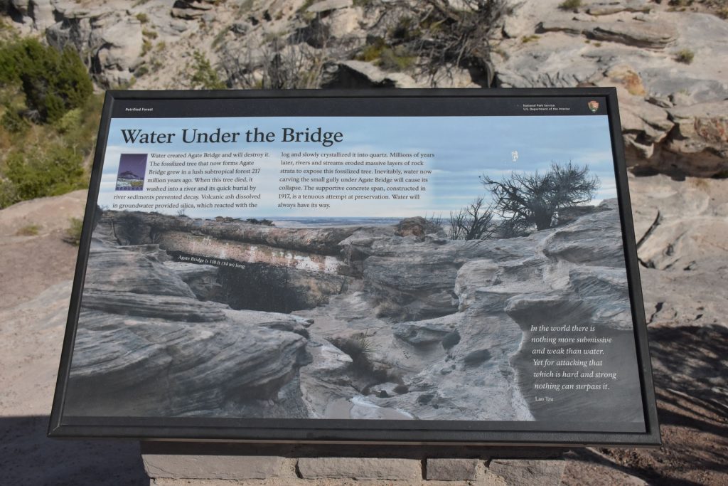
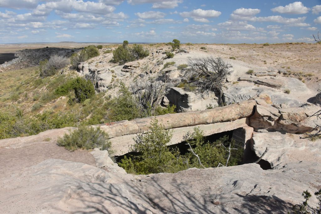
An interesting stop along the road is the Agate Bridge, formed when a fallen tree bridged a gully and stream. (Reference Map #8)
The Agate Bridge – the concrete support beam was added in 1917 and cannot be removed now for fear of the entire log crumbling.
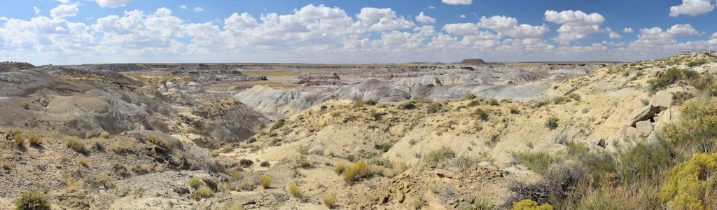
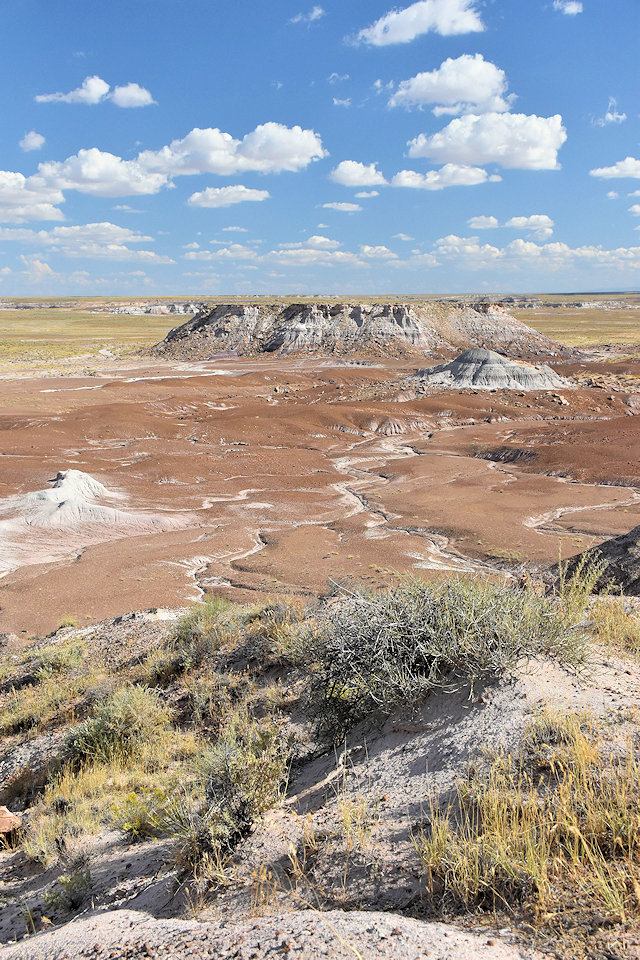
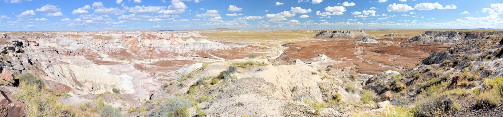
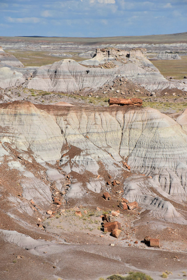
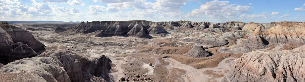
Around the next corner, yet another breathtaking vista at Blue Mesa. (Reference Map #7)
Panoramic View of Blue Mesa (Reference Map #7)
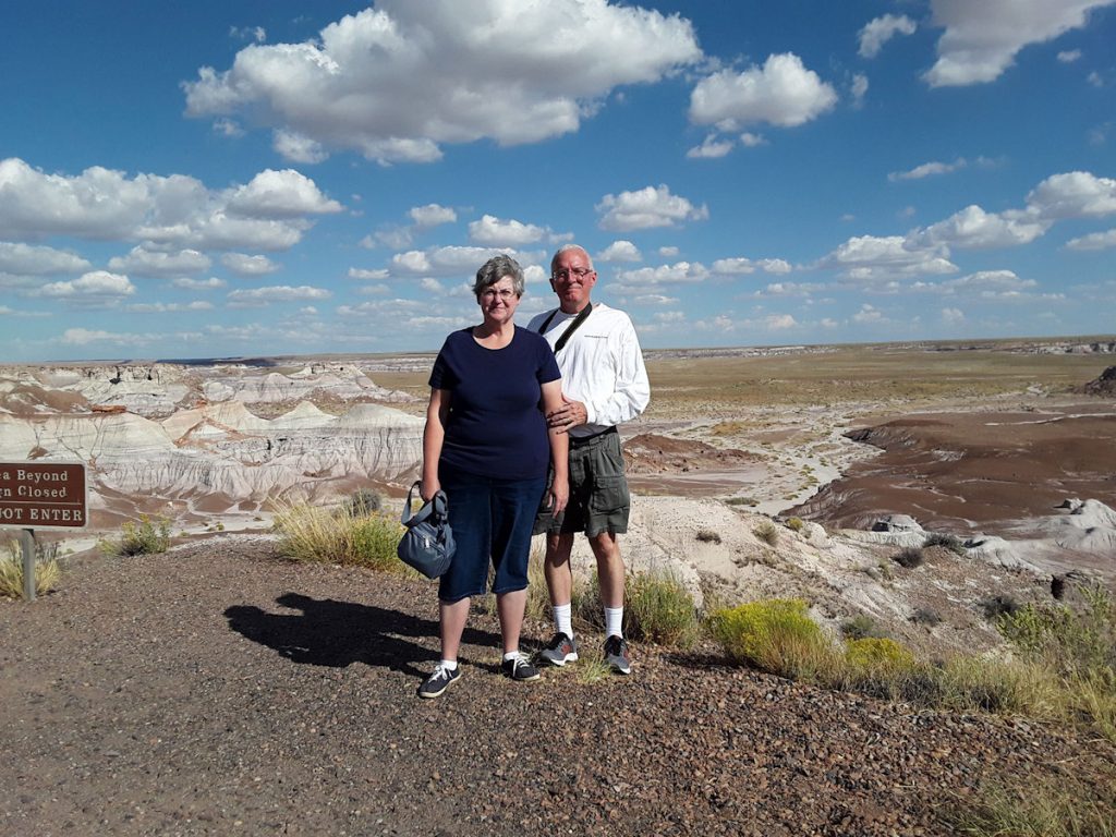
And a token family photo. (Mindful of the 500-foot drop-off just behind us)
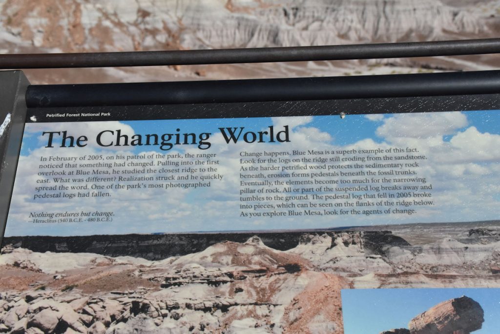
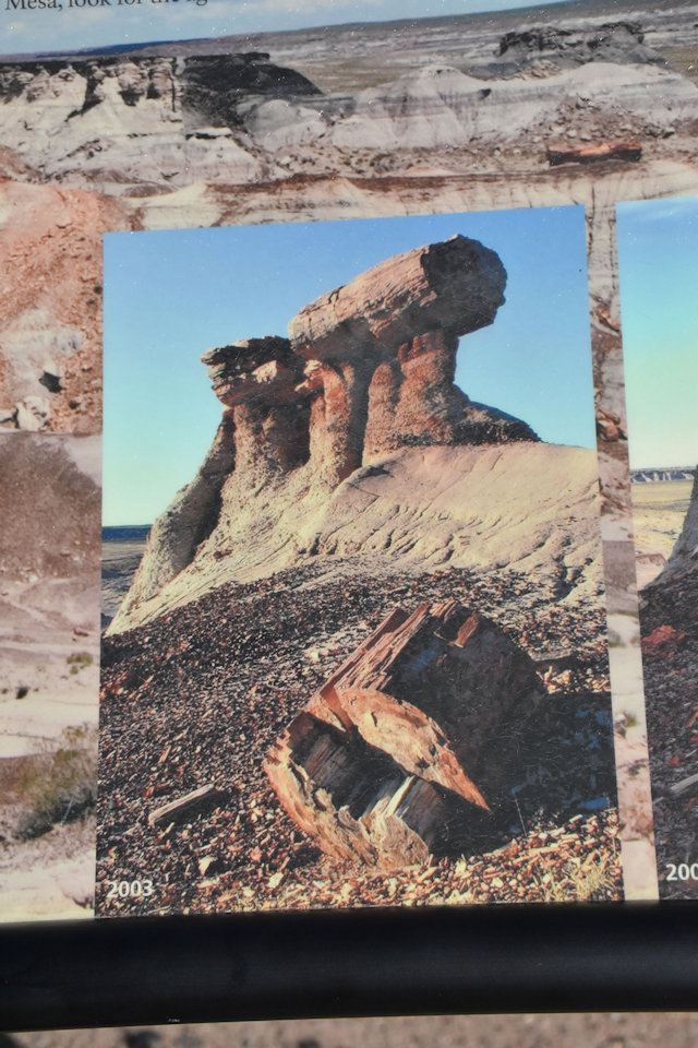
This plaque at Blue Mesa describes how the park is changing even today. In 2005, one of the logs that had been balanced atop another rock had fallen after thousands of years.
Before
After
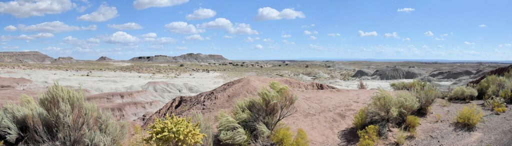
Another vista around the middle of the park – near Blue Mesa.
And yet another incredible vista. As a photographer, I could spend an entire summer in this park and never get bored.
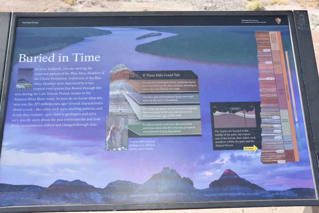
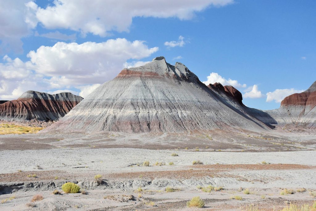
Just north of Blue Mesa, this roadside plaque describes the different colors and layers of the surrounding mountains. (See next photo)
This mountain exhibits the colors and layers shown in the plaque on the previous photo. This area must be quite a treat for geologists.
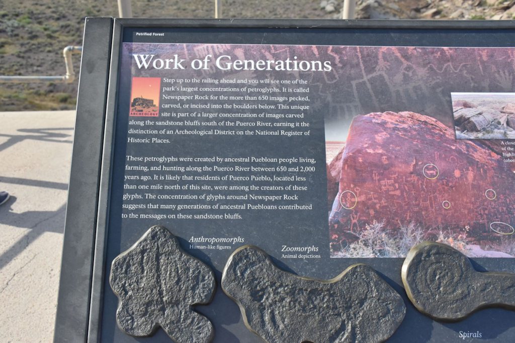
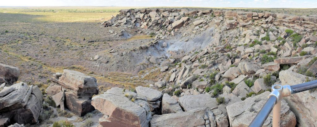
Newspaper Rock is an area where numerous petroglyphs have been found. These are evidence of the people who have lived in this area for thousands of years. (Reference Map #6)
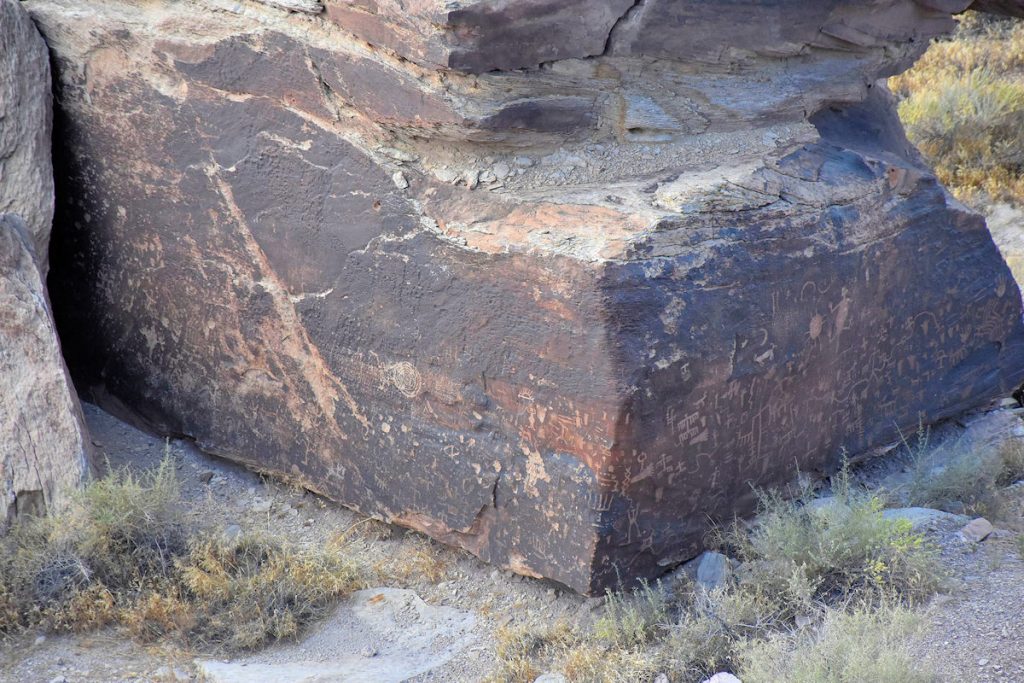
From the overhead viewing platform, you can see petroglyphs on many of the rocks below. Perhaps the most can be found on the dark area at the bottom of the second rock from the left. (See next photo for more details)
Close-up of the previous photo. Petroglyphs can be seen all along the lower half of this large rock.
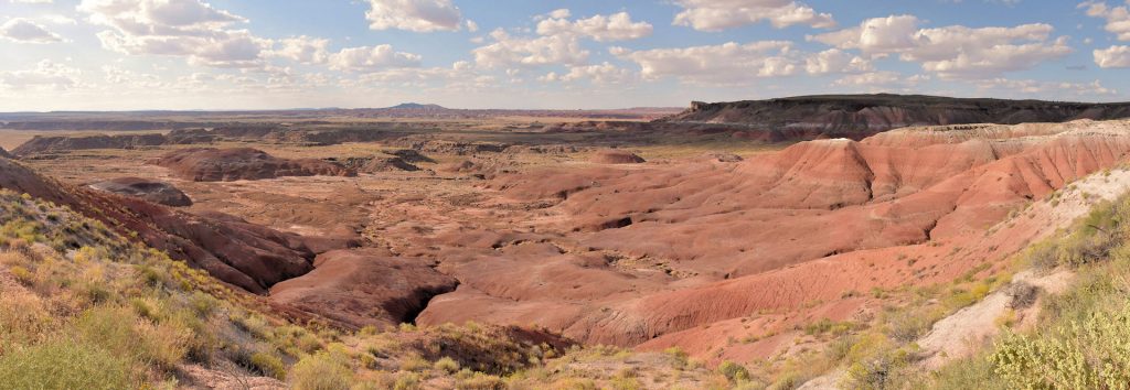
At about the mid-point of the ride north, the road suddenly descends to a large valley. From here north, the scenery changes as we enter the Painted Desert area. (Reference Map between #5 and #4)
And this is why they call it the Painted Desert.
As we approach I-40 and the northern end of the park, the landscape changes back to more level desert settings. If you look closely, you can see one of the 2-mile-long trains than run almost constantly throughout the west.
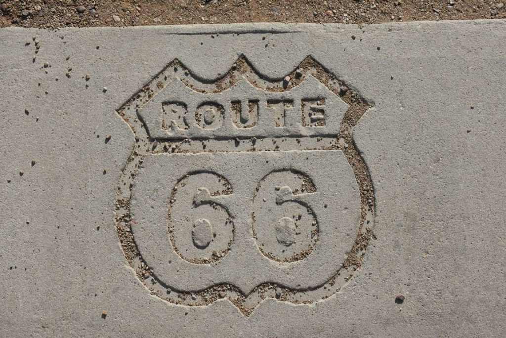
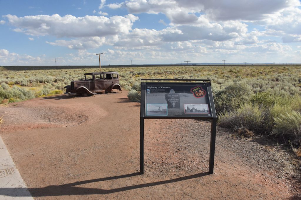
As we reach the northern end of the park, we cross I-40 and reach the point where old Rt 66 crossed through the park. Remember Rt 66 from back on Day 12? (Reference Map #4)
This 1932 Studebaker marks the spot where old Rt 66 came through the park.
Close-up of plaque in previous photo.
After a visit to the gift shop and visitor center at the north entrance, it was time to head to our hotel in Winslow.
We hopped on I-40 and pulled into the hotel just an hour later.
Tomorrow, we rest and explore Winslow, Arizona – and maybe find a corner to stand on (just like the song).
Thank you for riding along with us today. Hope you enjoyed it. See you tomorrow.