
Southwest USA
Retirement Trip
September 2019
29 Days – 6,500 Miles – 19 States
7 National Parks
Several State Parks – 6,000+ Photos
1 Trillion Insects Squished by Car Windshield
From 108 Degrees to Snow
From 282 Feet Below Sea Level to 12,000+ Feet
Bison, Elk, Prairie Dogs, Lizards, Wild Horses
Elvis, Aliens, John Wayne Westerns
Walking In The Footsteps of Forrest Gump
And More!
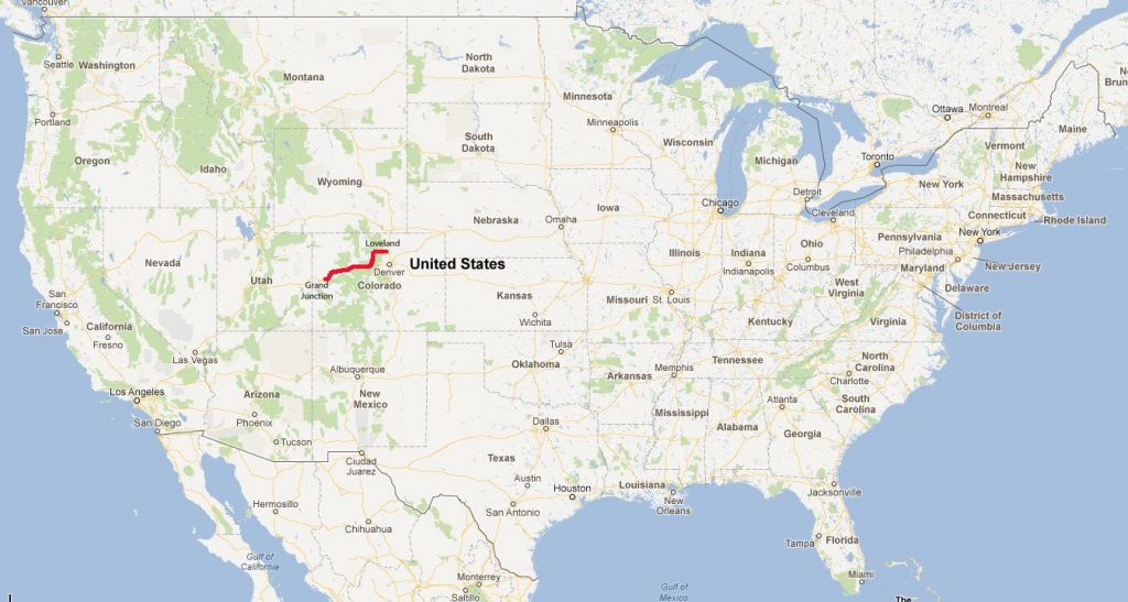
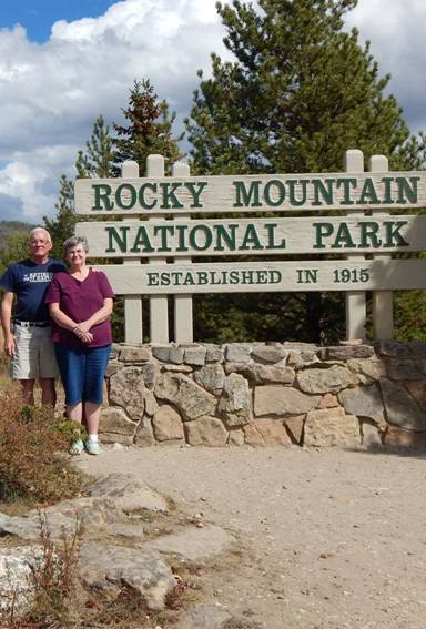
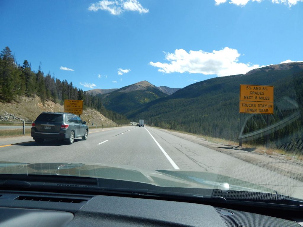
Today, we are crossing Colorado and exploring Rocky Mountain National Park just west of Denver.
We will also be visiting relatives in Loveland CO.
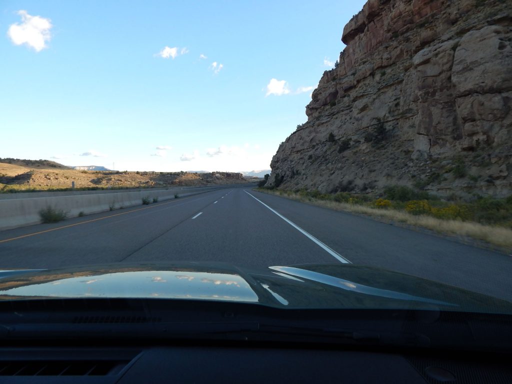
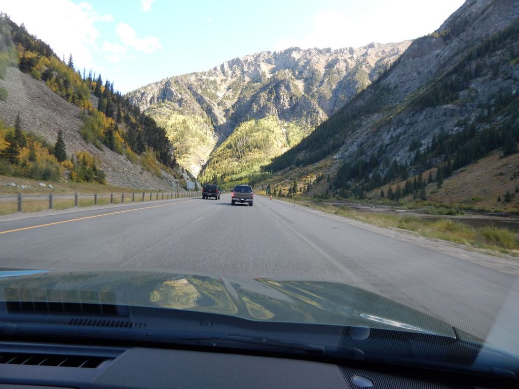
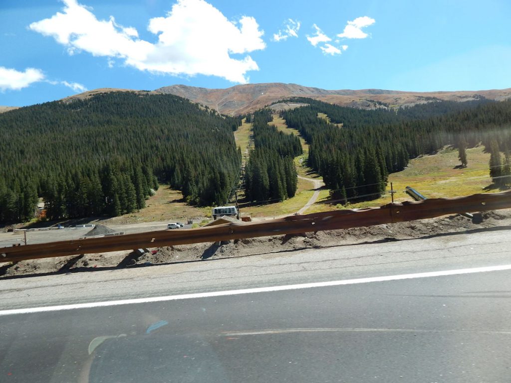
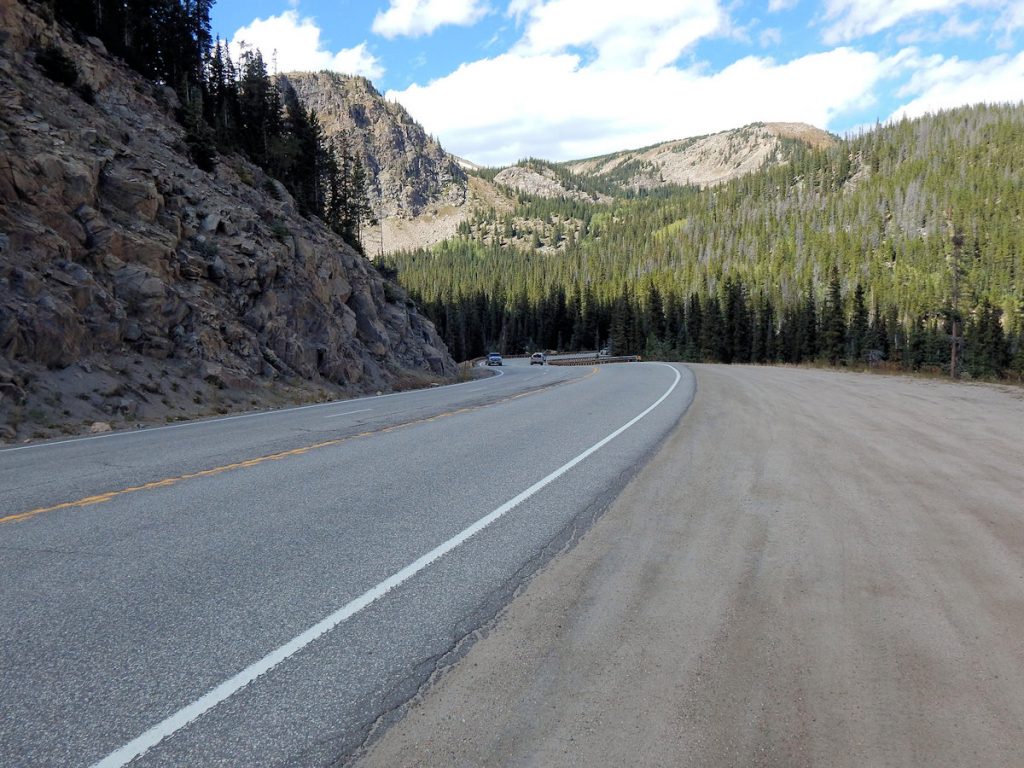
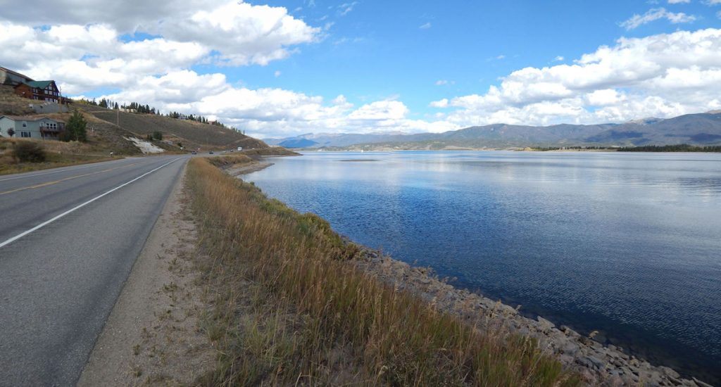
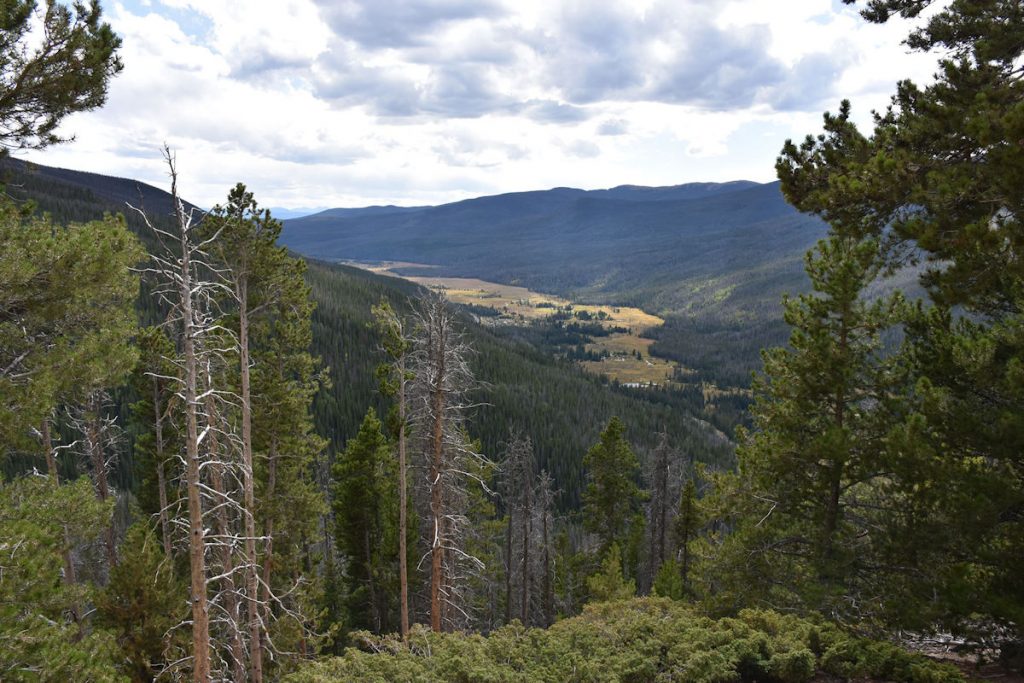
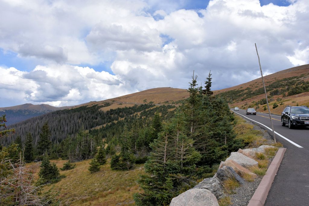
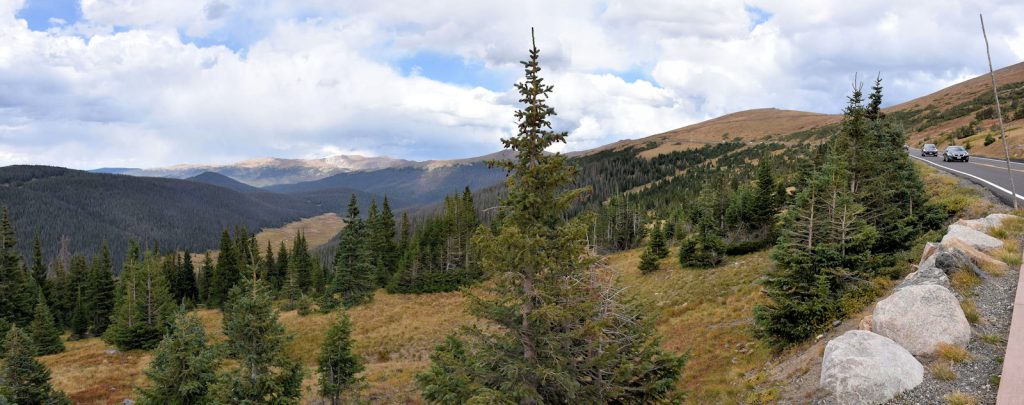
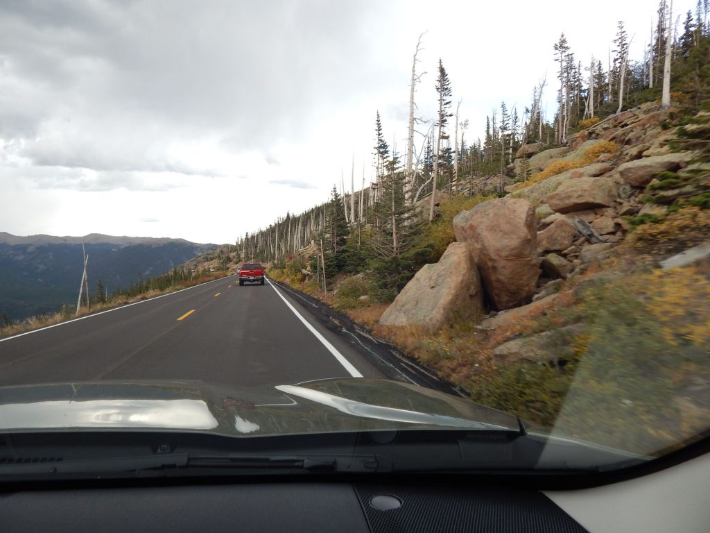
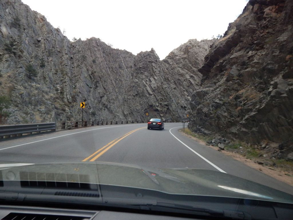
Following the Colorado River (as we have since Arches NP).
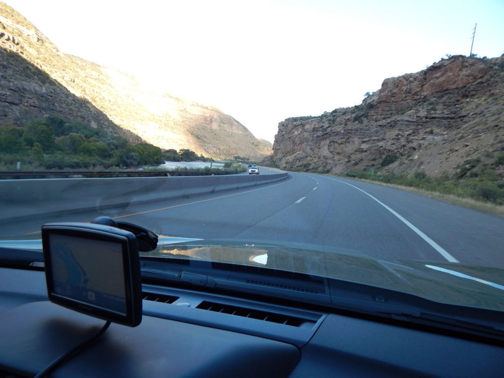
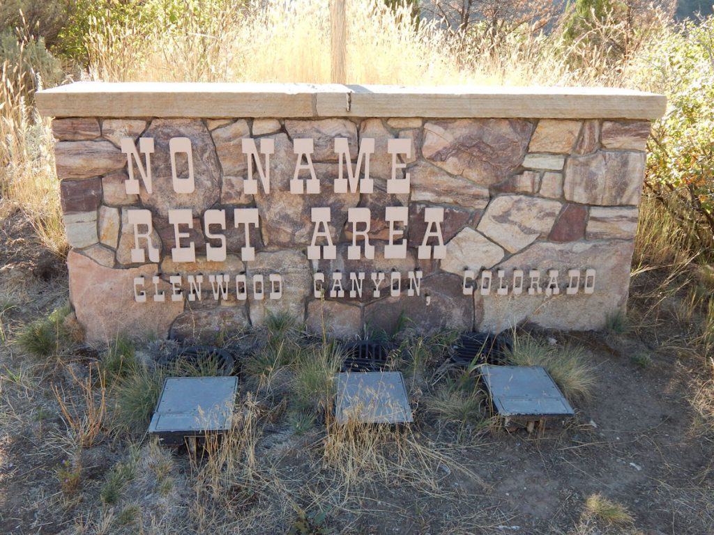
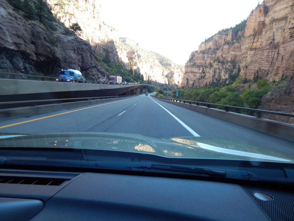
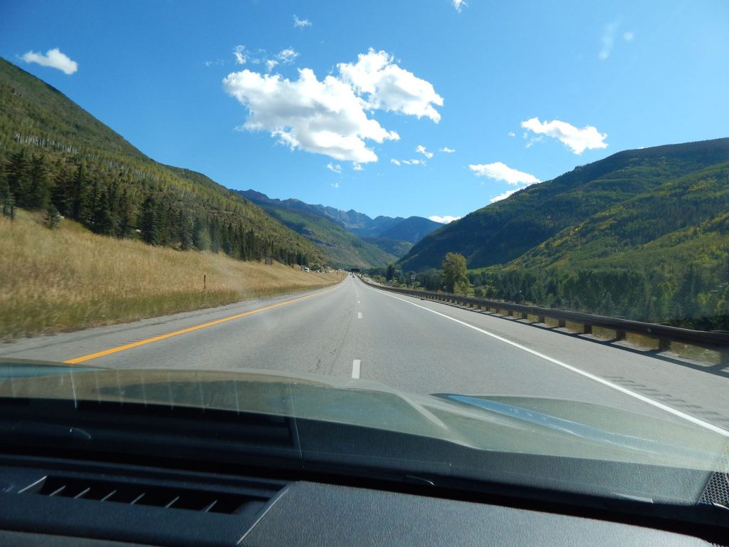
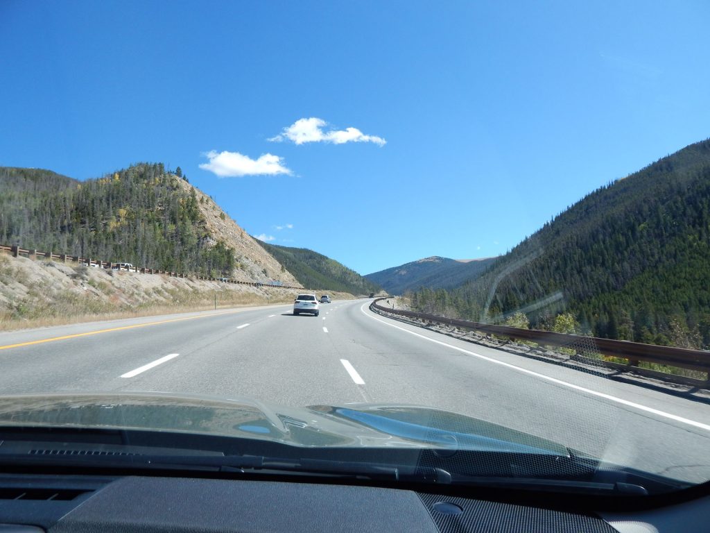
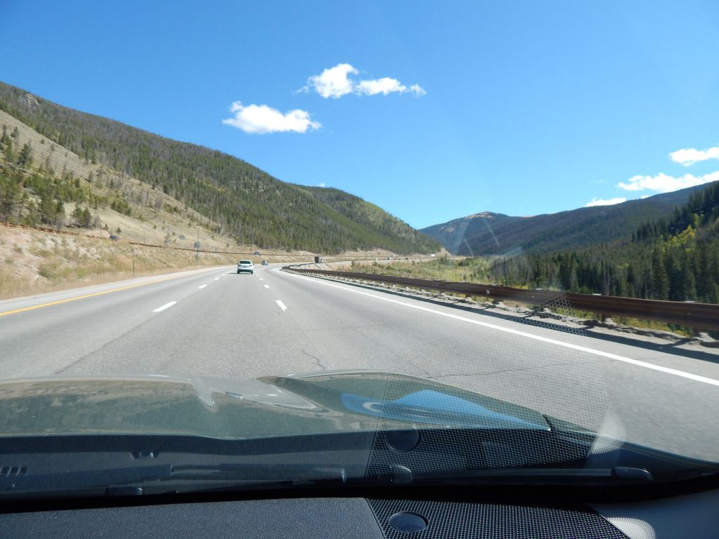
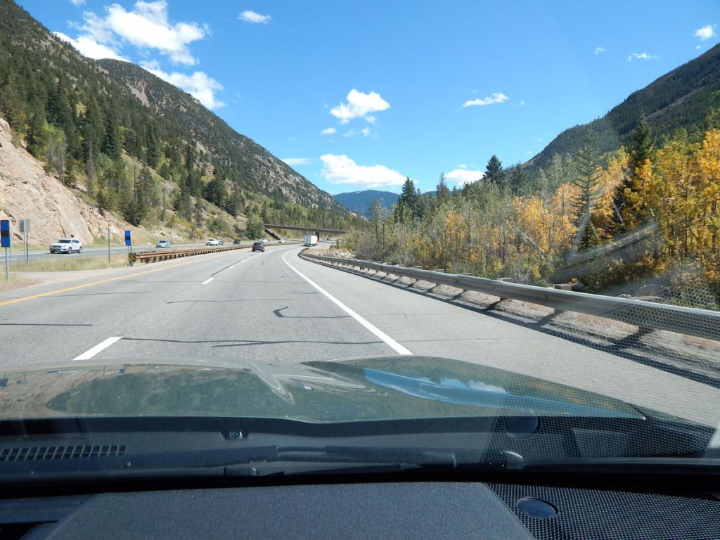
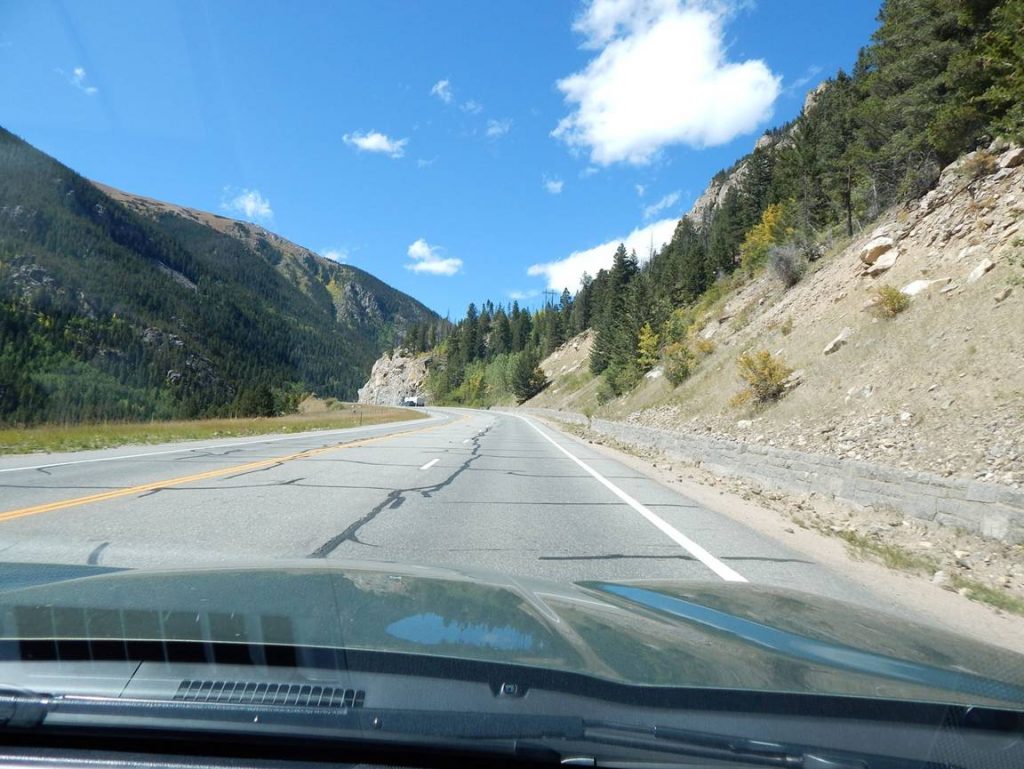
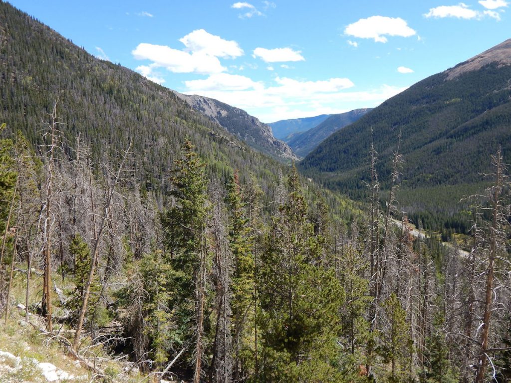
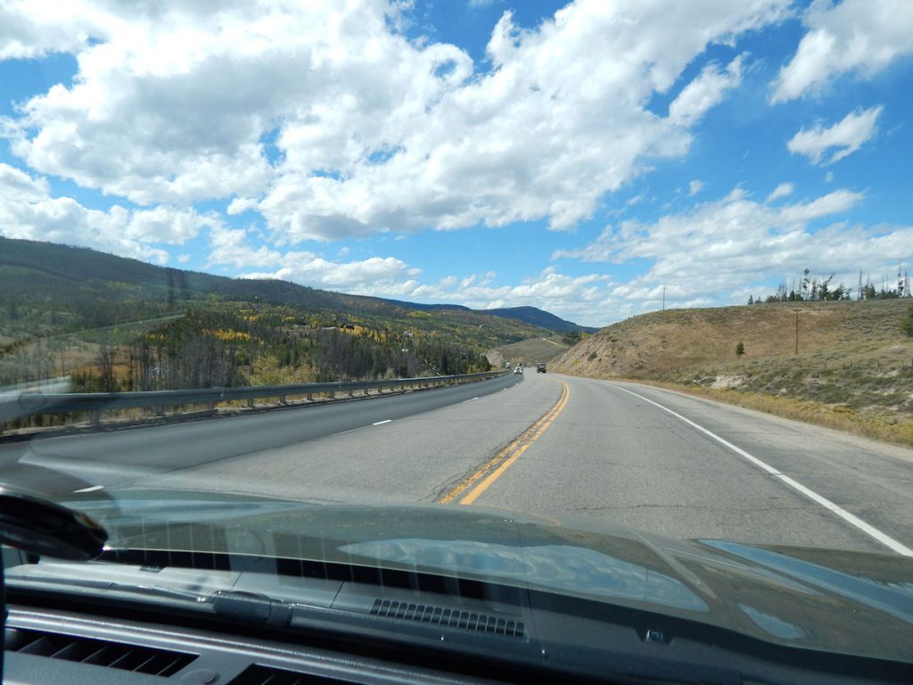
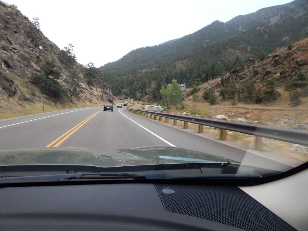
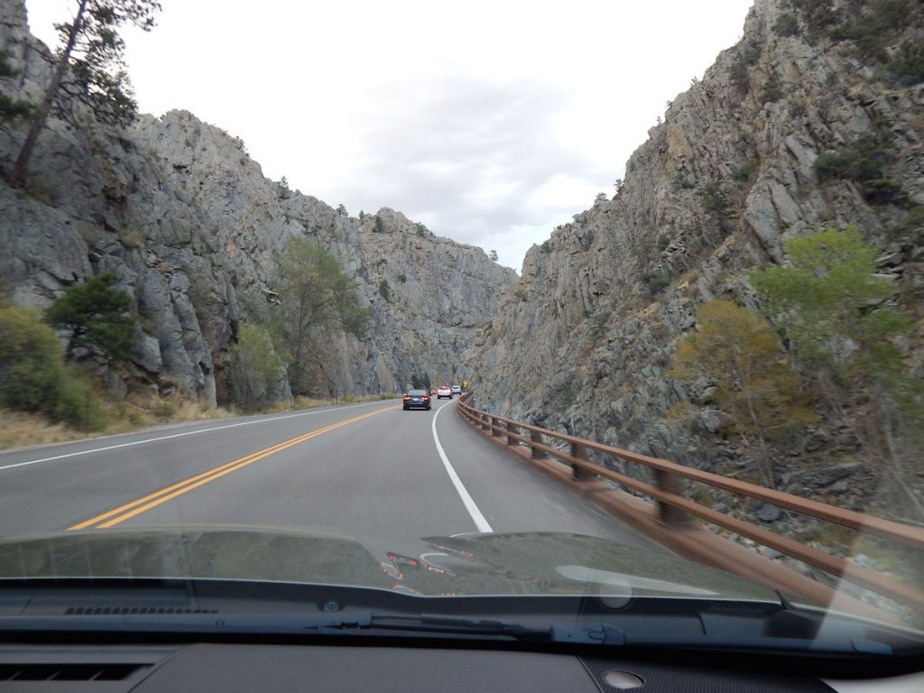
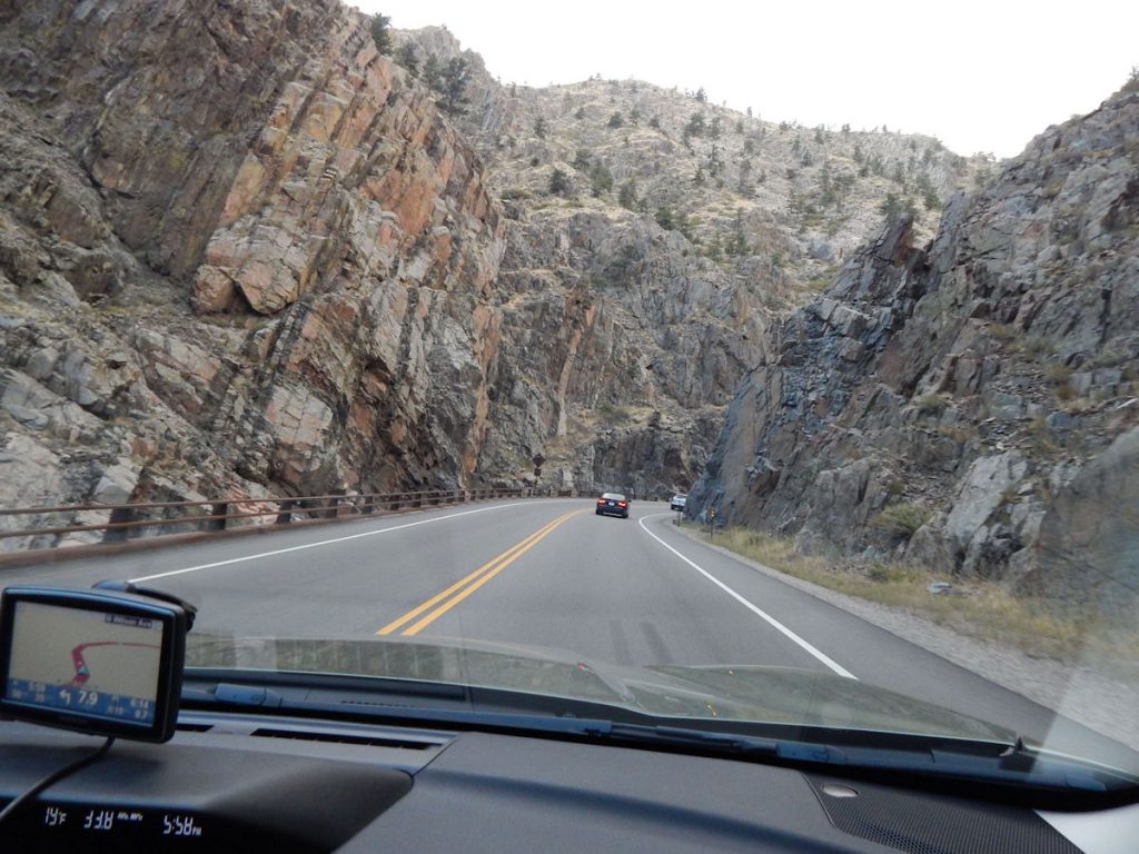
GLENWOOD CANYON
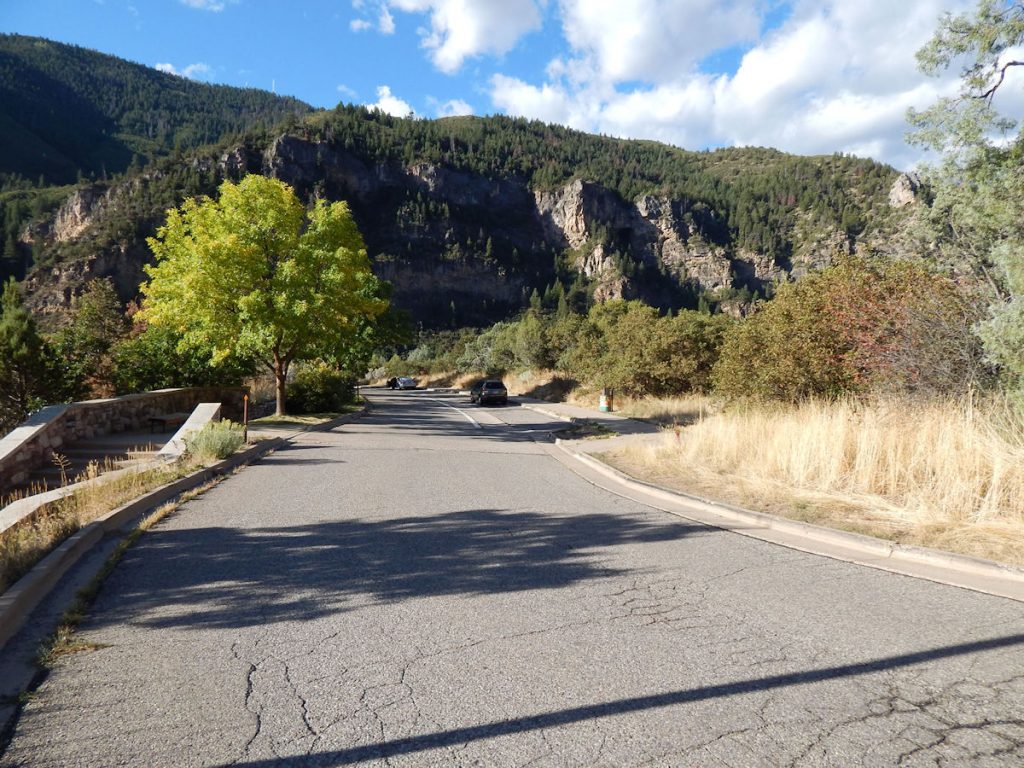
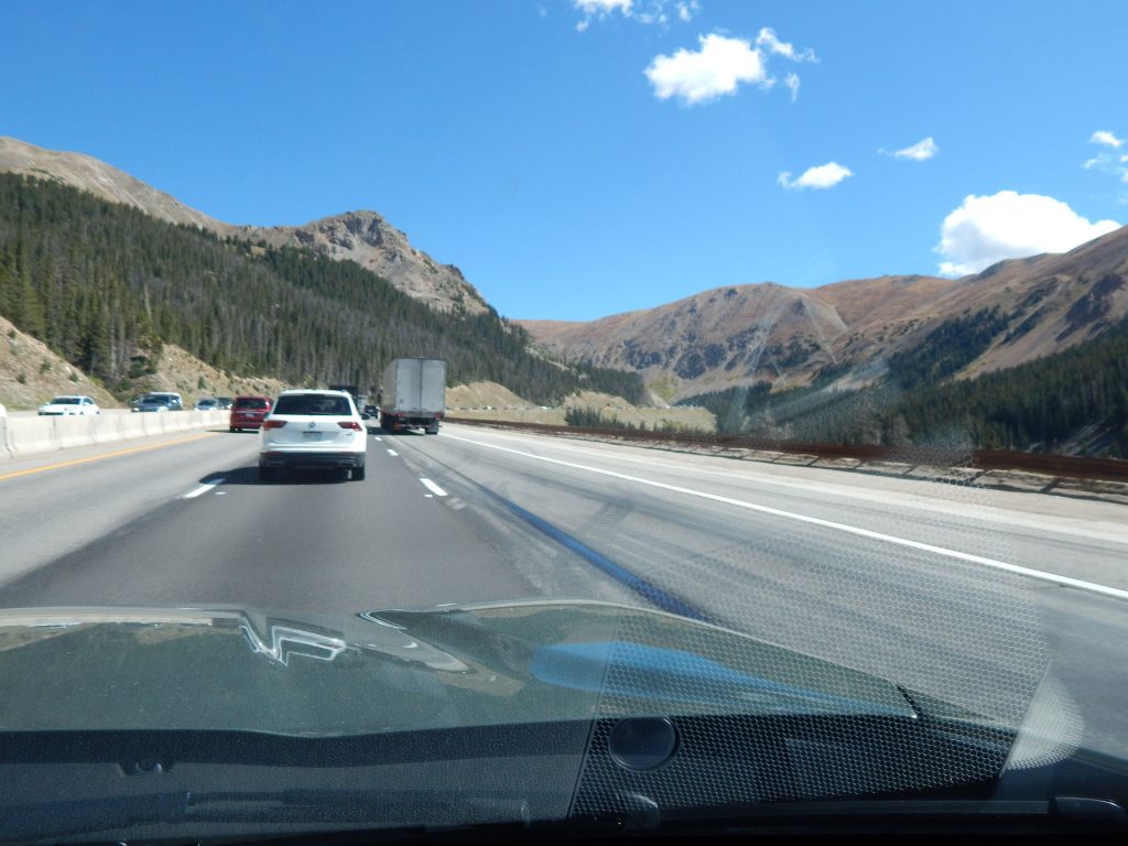
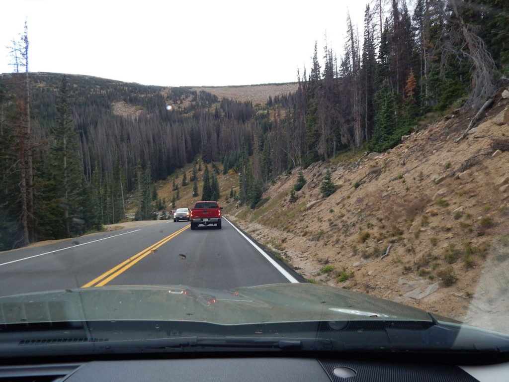
As we pull out of the rest area, we enter Glenwood Canyon.
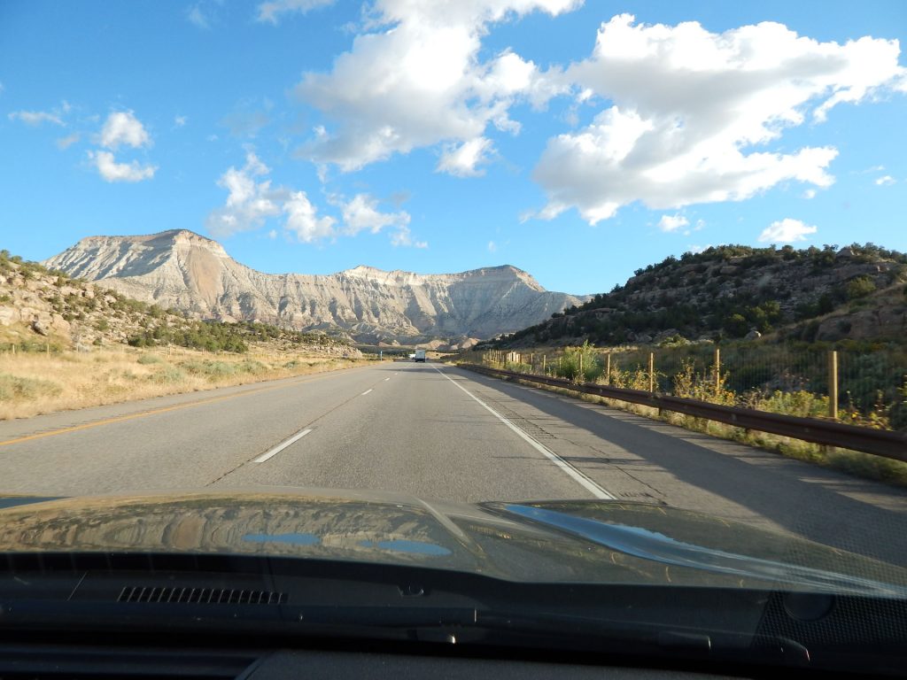
Glenwood Canyon is a rugged and scenic 12.5-mile canyon on the Colorado River. Its walls climb as high as 1,300 feet above the River. It is the largest such canyon on the upper Colorado. The canyon has provided routes for railroads and highways through the region. It was the first gravel road for automobiles through the Colorado Rockies. Currently, I-70 and the Union Pacific railroad pass through the canyon.
Glenwood Canyon is one of the most scenic features on the California Zephyr passenger railroad line.
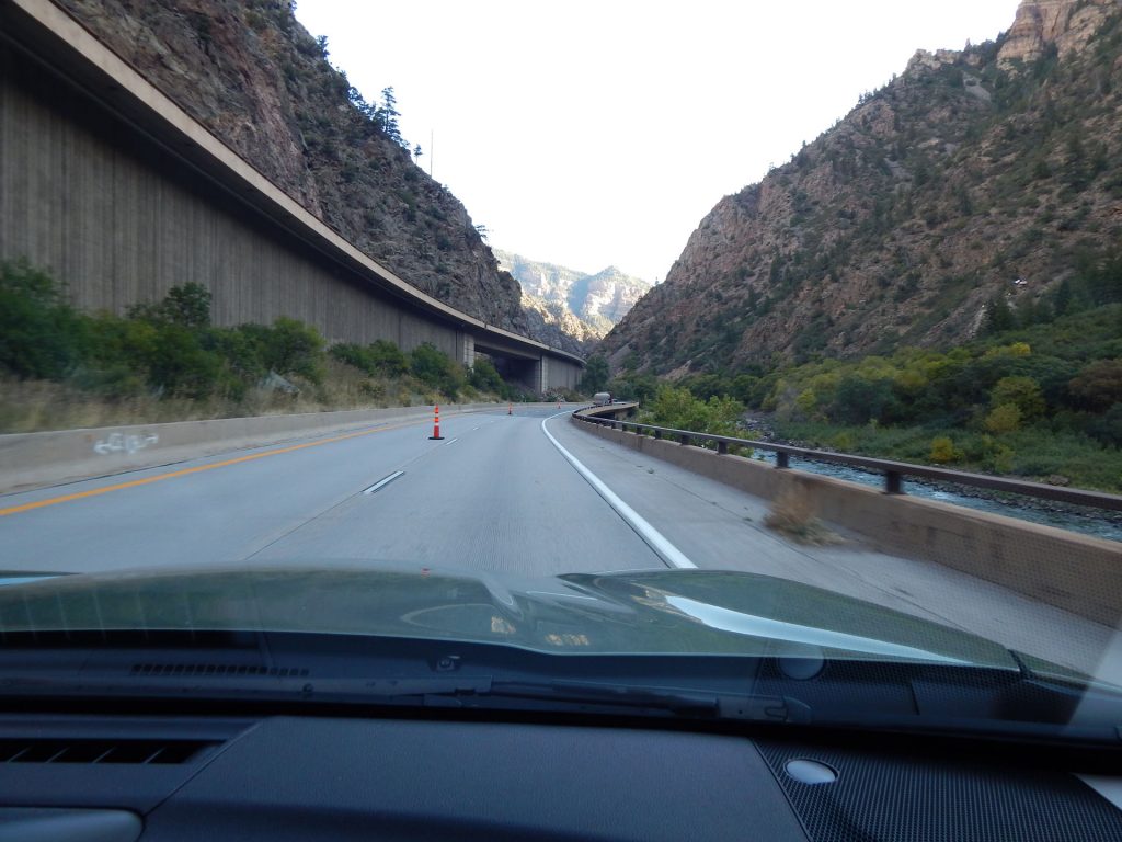
The railroad line is to the right, behind that lower line of trees.
Read more about the challenges of building I-70 through Glenwood Canyon:
https://www.postindependent.com/news/local/i-70-through-glenwood-canyon-an-engineering-marvel-a-transit-challenge/
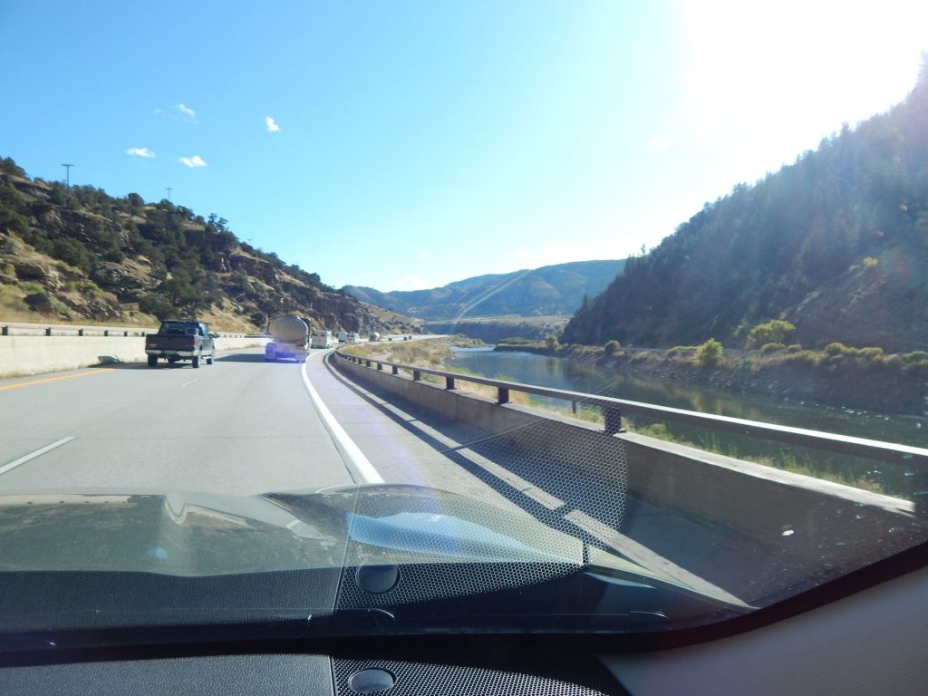
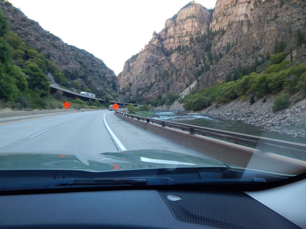
The Colorado River is to the right. This is the same water that will eventually flow through the Grand Canyon.
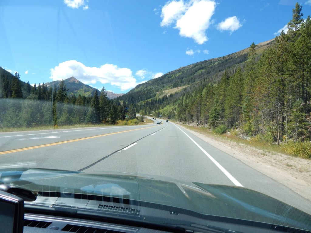
Seeing more trees than we’ve seen in a few weeks.
Nice to see green forests again after 2 weeks of red rocks and deserts.
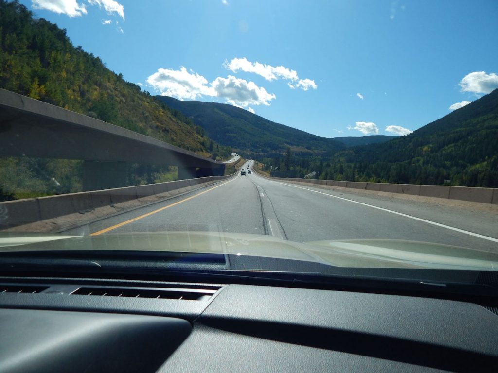
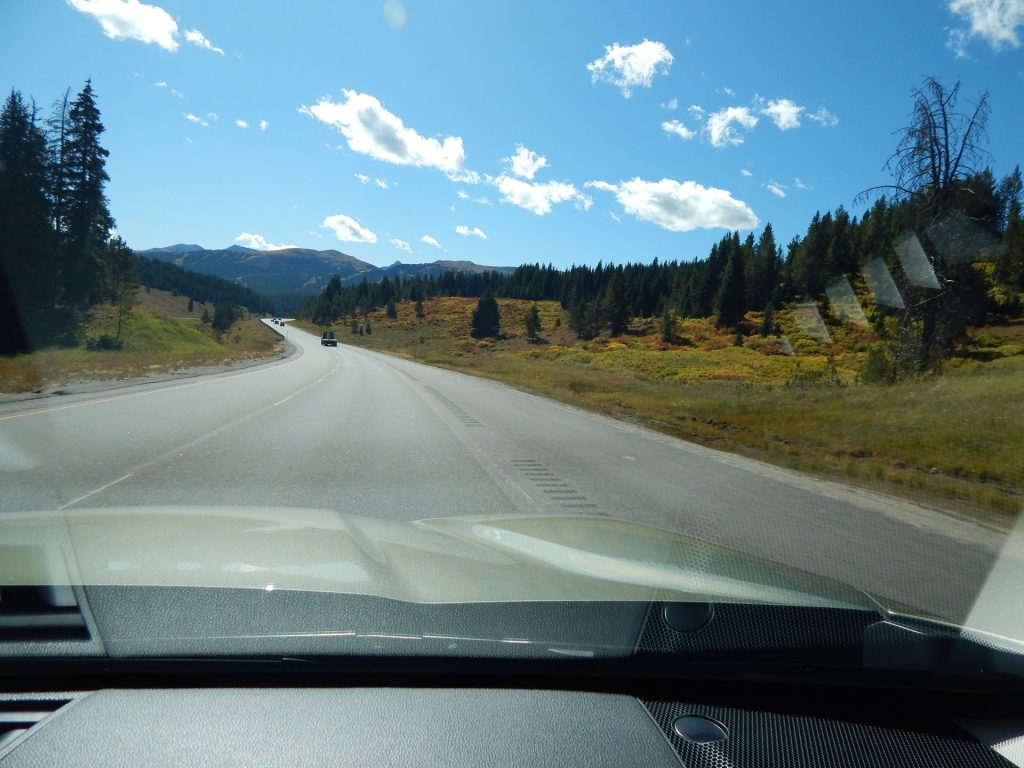
Glad we stopped at that last rest area!
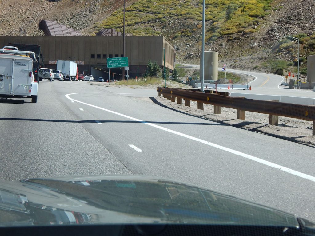
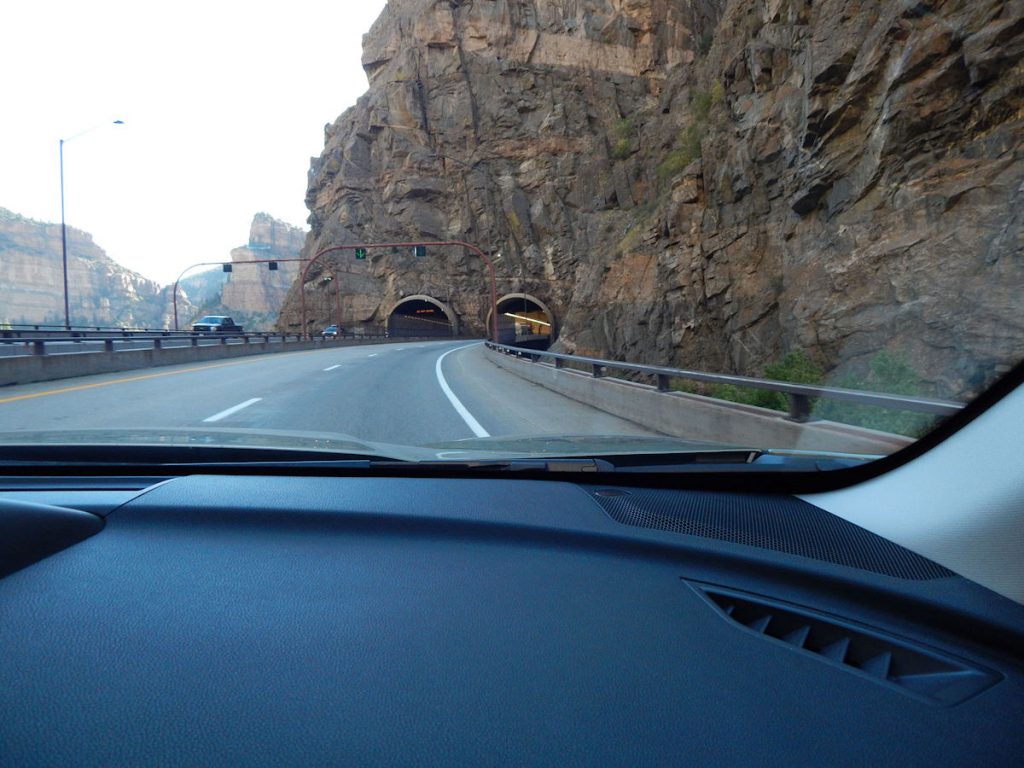
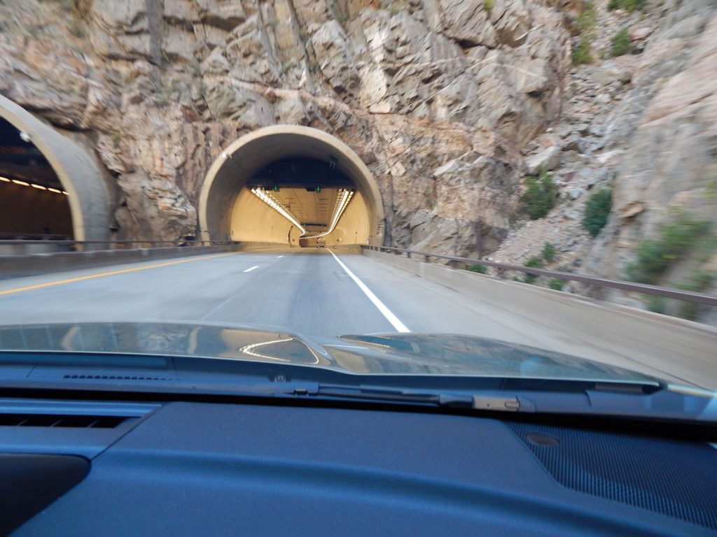
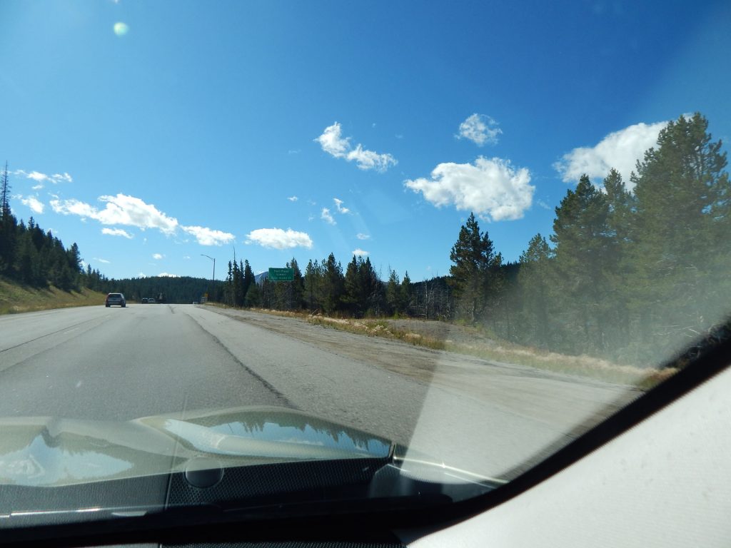
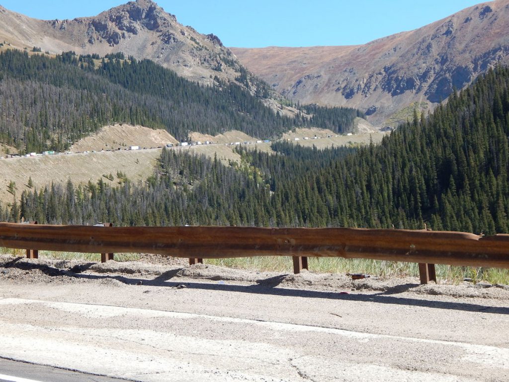
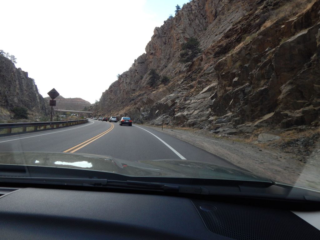
Finally – we’re at the tunnel. Just about this time, a car next to us erupted in blue smoke.
Looks like maybe they burned up their clutch inching up the mountain. Glad they got off before going into the tunnel next to us.
Read more about the Eisenhower Tunnel: https://en.wikipedia.org/wiki/Eisenhower_Tunnel
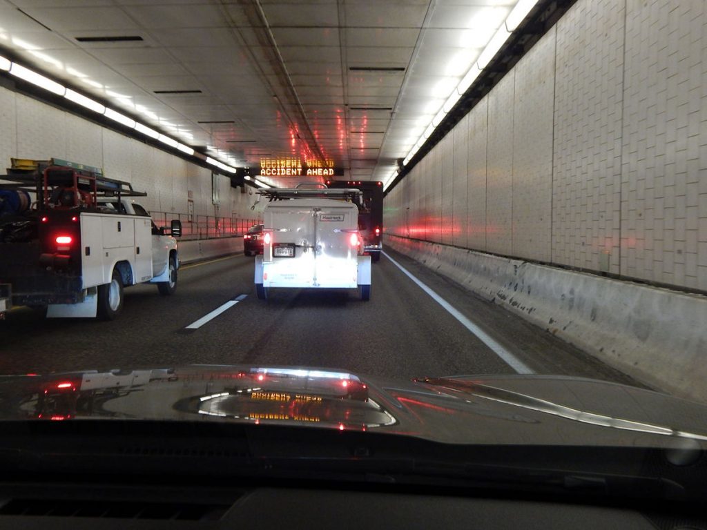
The traffic crawled along for another hour before finally moving after the accident point.
Glad we weren’t in the accident. That would have been far worse than being delayed 2 hours.
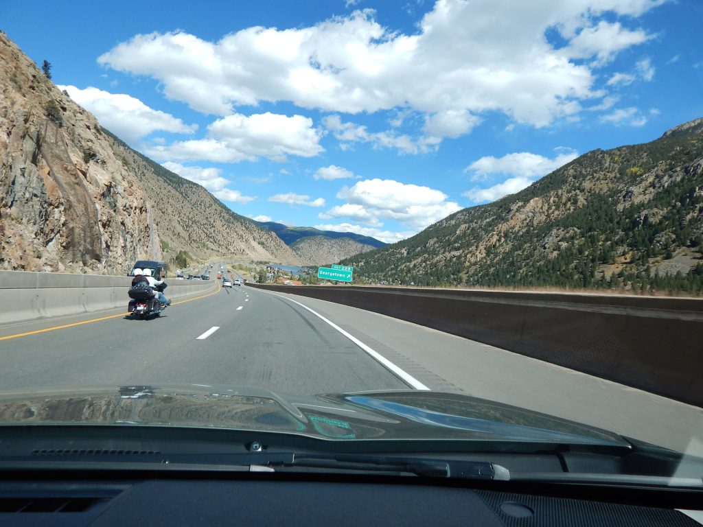
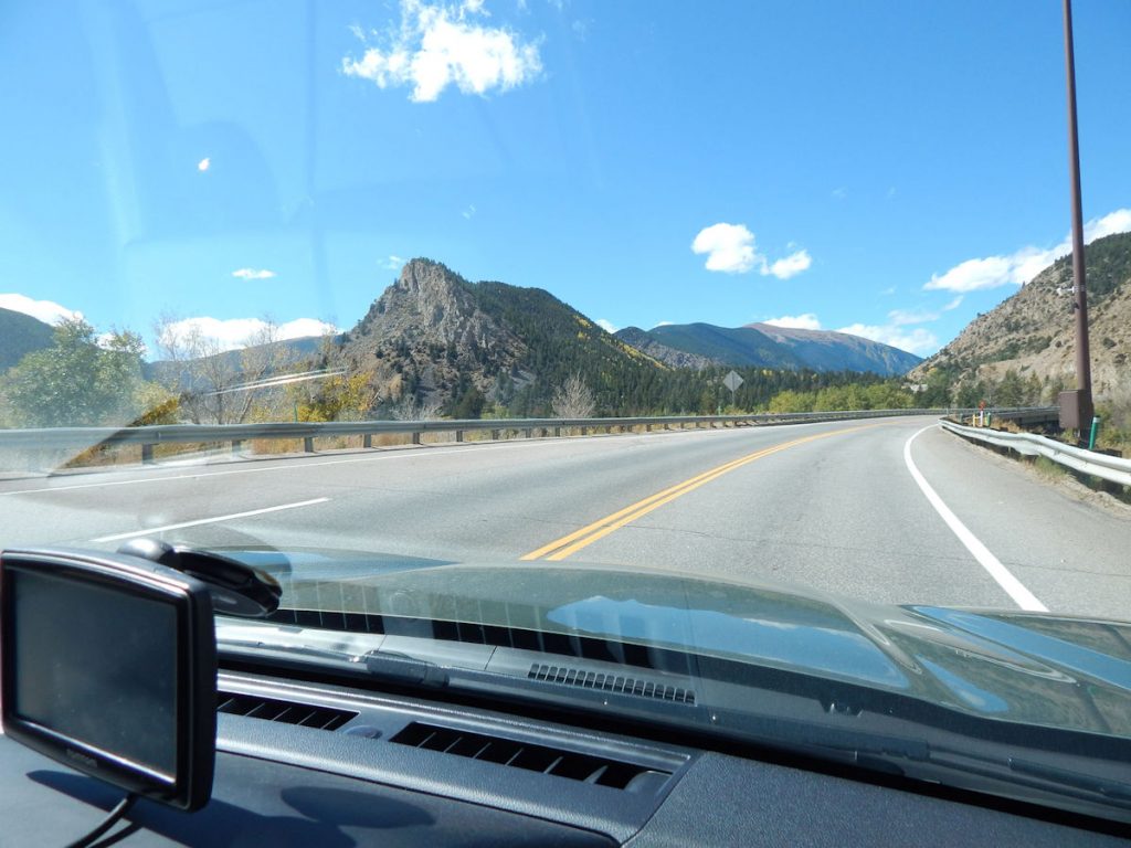
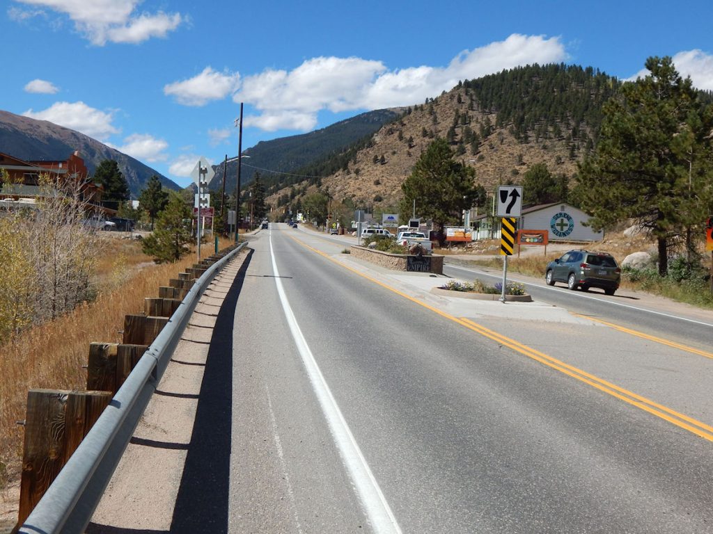
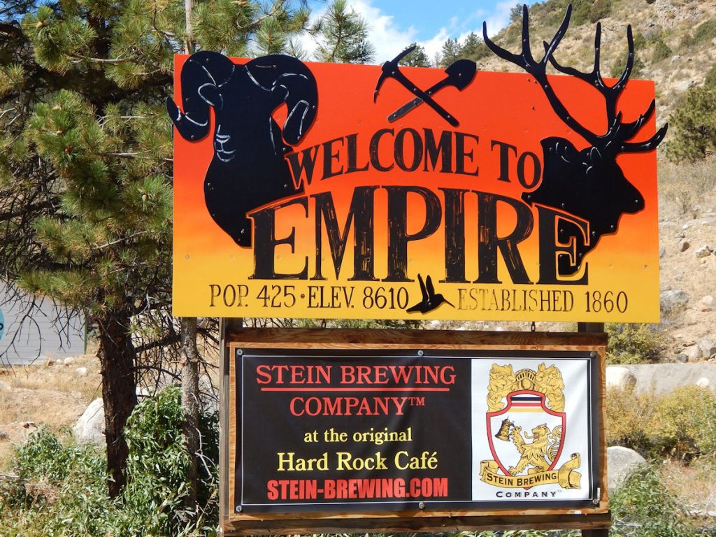
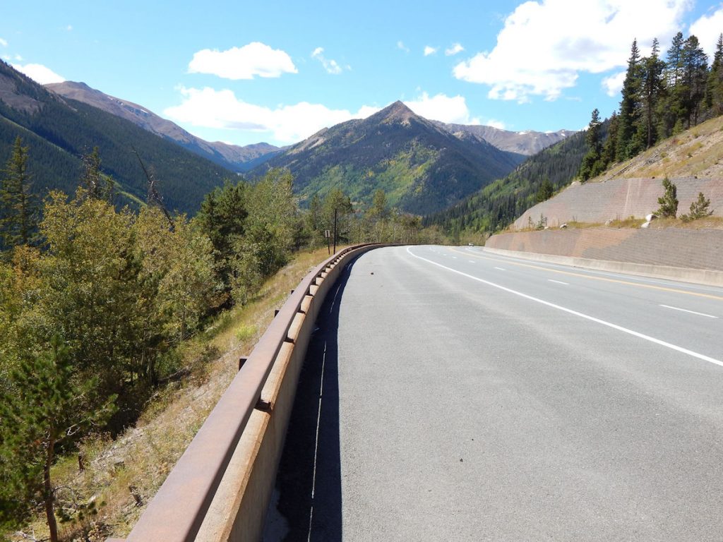
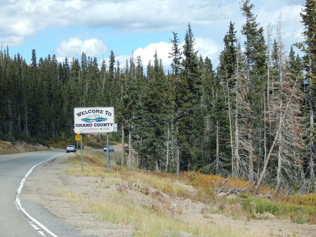
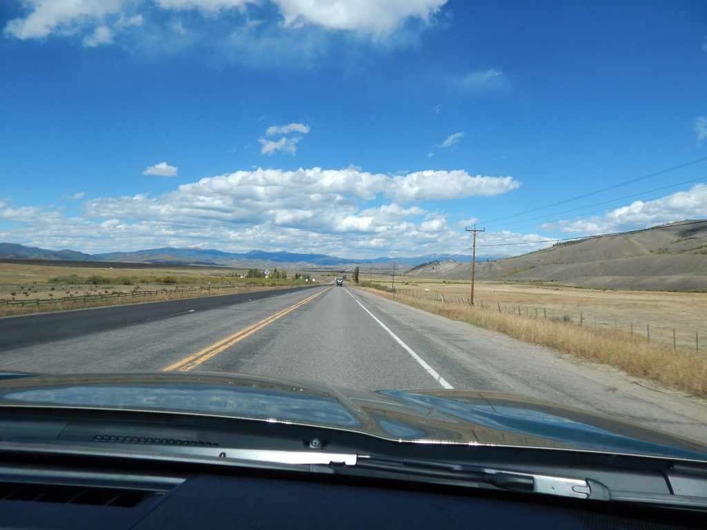
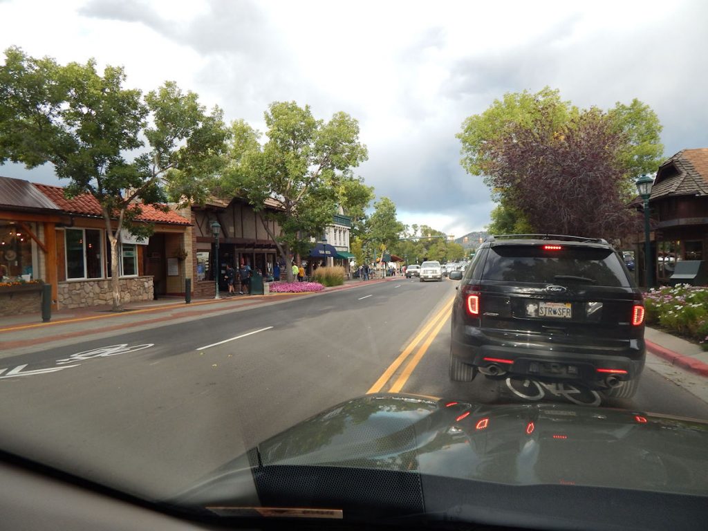
GEORGETOWN – GRANBY
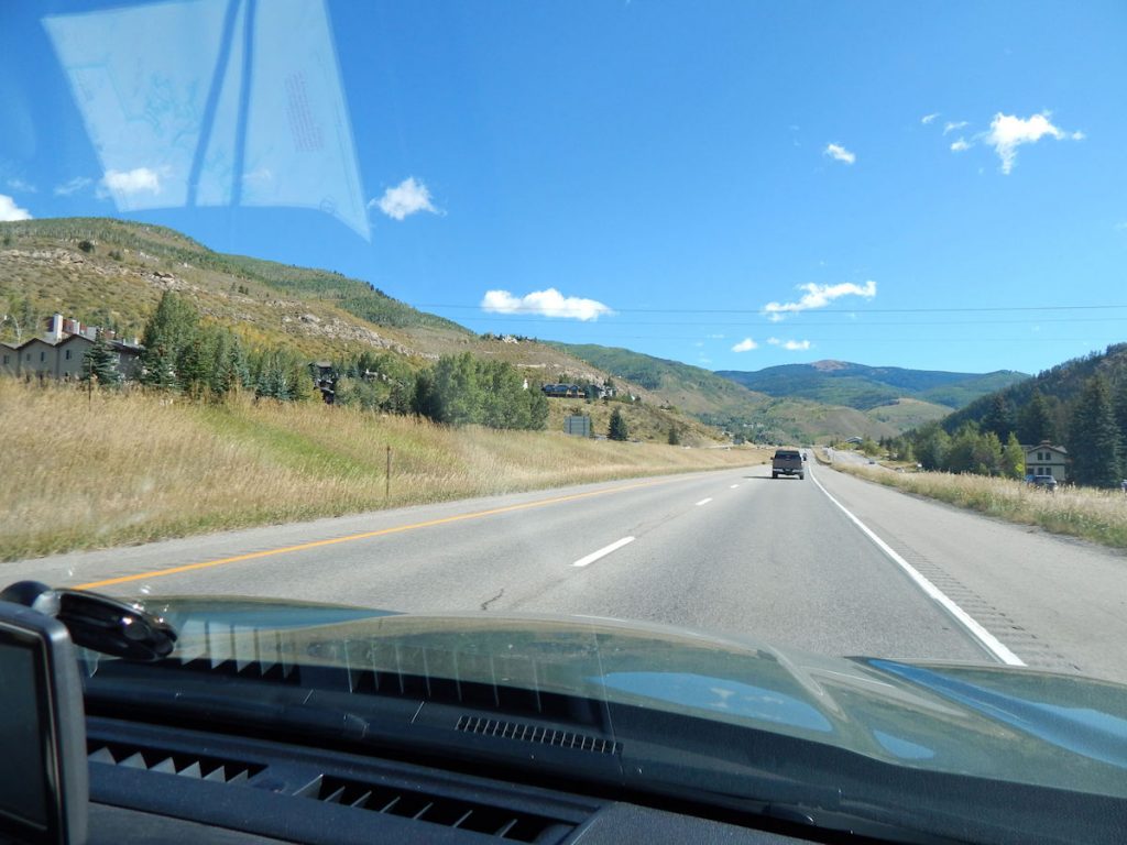
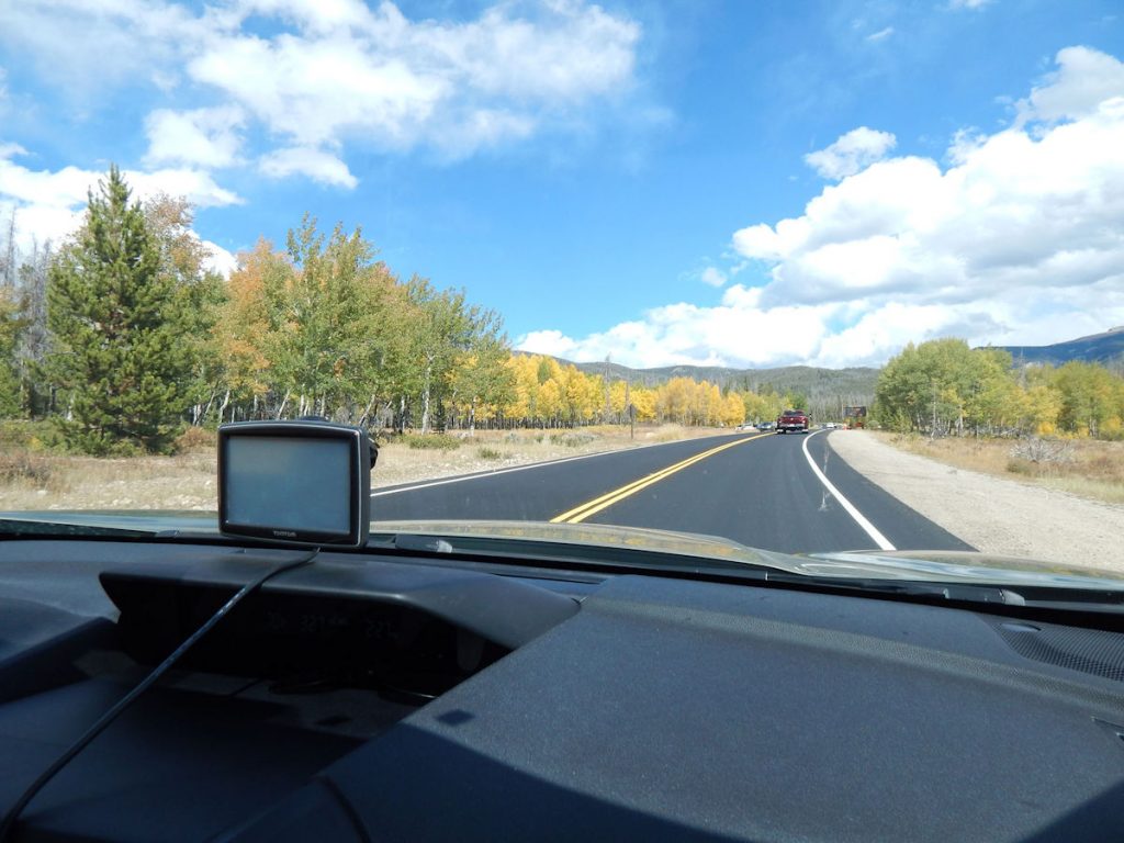
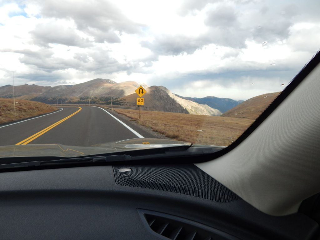
About 30 miles west of Denver, we get off the interstate and head north toward Granby
and the west entrance to Rocky Mountain National Park.
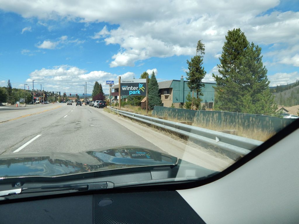
Lots of skiing, hiking, biking, and other outdoor activities to do in the area.

This T-Shirt says:
Feed the Bears
Squat with your spurs on.
Let your kids ride the elk.
Picnic in Poison Ivy.
Drive fast and pass on curves.
Thank you for your support – Colorado Paramedics
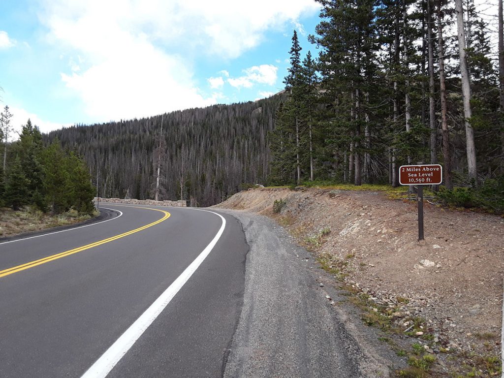
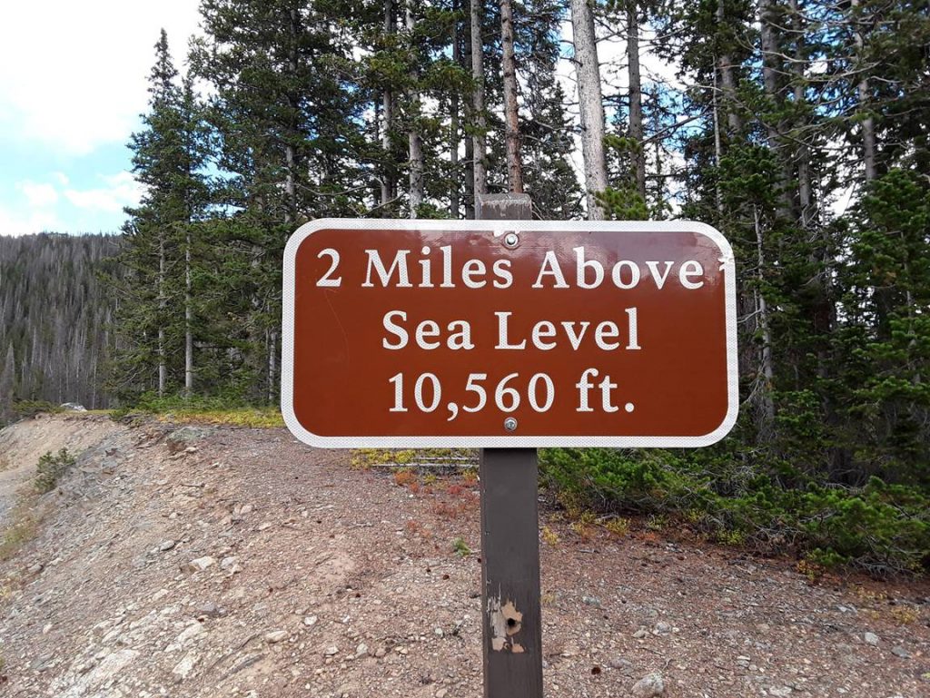
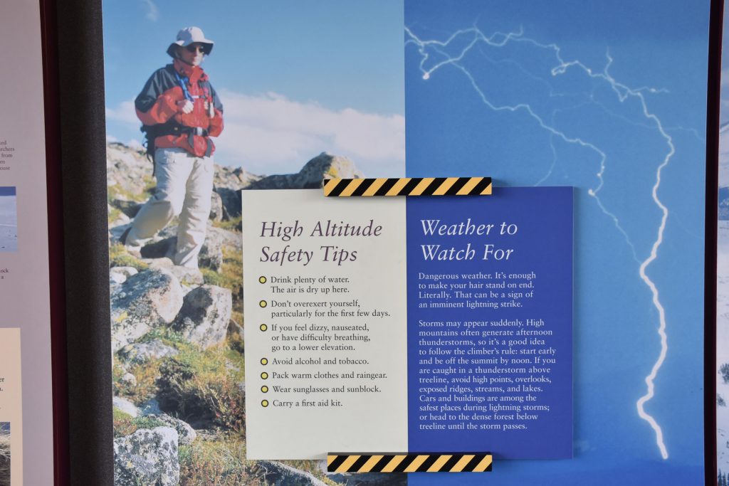
Before we left on the trip, I did some online research and found that quite a few people experience altitude sickness when they get above 6,000-7,000 feet elevation. I was a little concerned, but more reading showed that it usually happens with sudden changes, such as when someone who lives at the beach flies into Denver and goes up to 8,000-10,000 feet and hikes or skis right away.
The past two weeks, we have spent a lot of time at 5,000-7,000 feet (New Mexico, Grand Canyon, Zion, Mesa Verde) so we have had a good chance to acclimate. Neither of us experienced any problems, but we were careful to not overexert and we stayed hydrated with plenty of Gatorade and water.
I bet it’s cold up there in the winter!
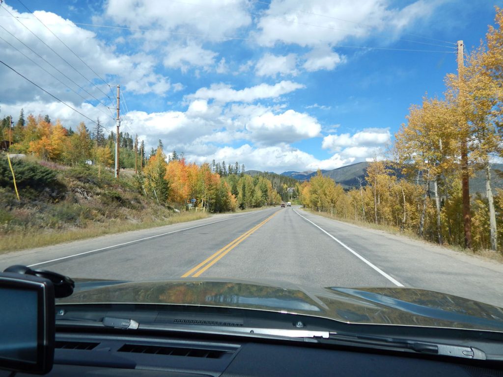
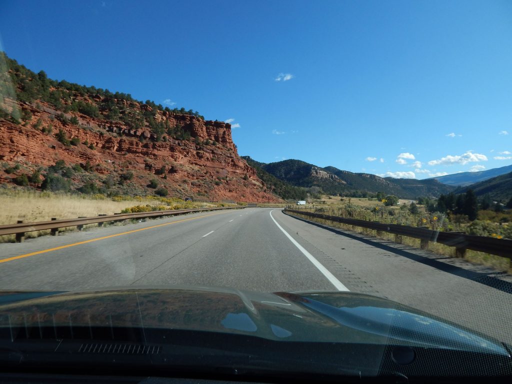
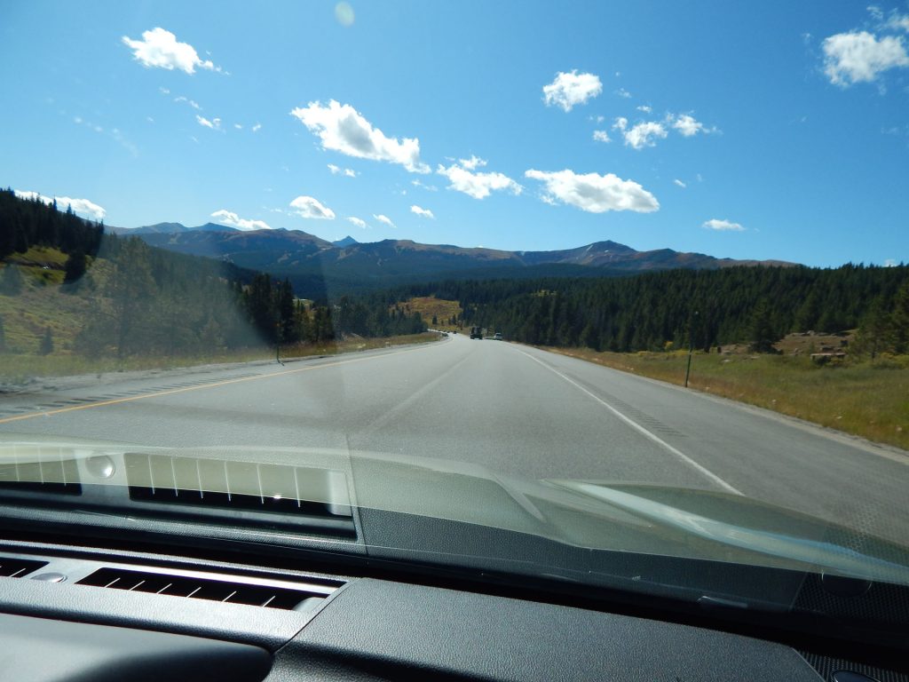
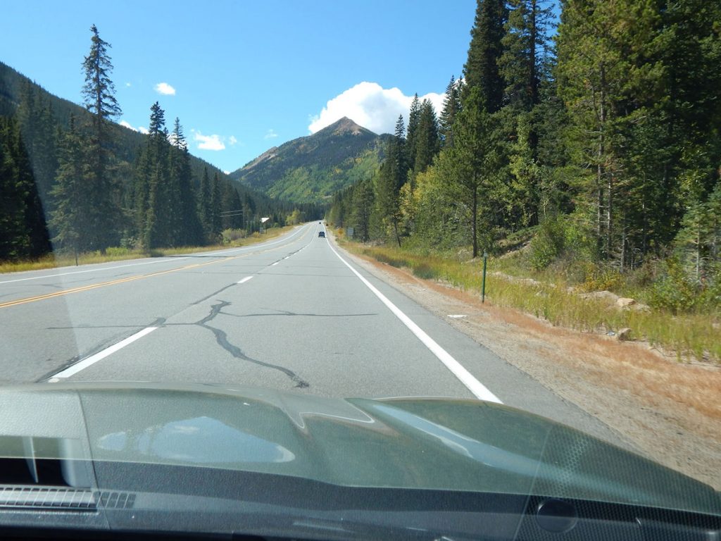
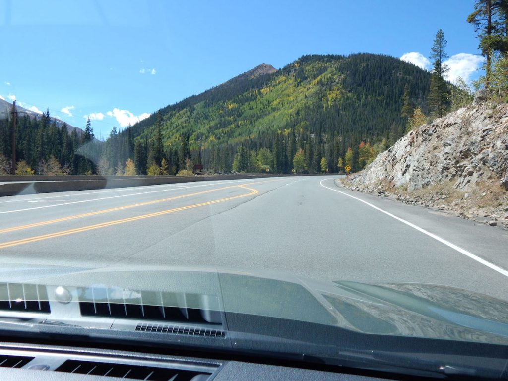
Nice fall colors.
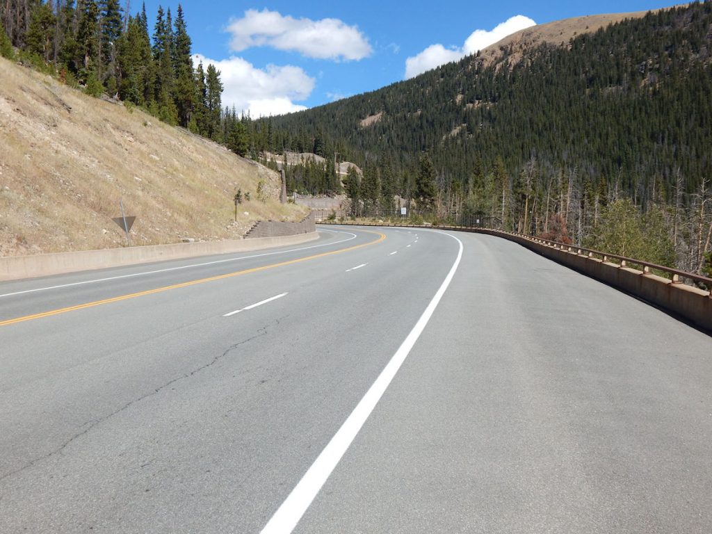
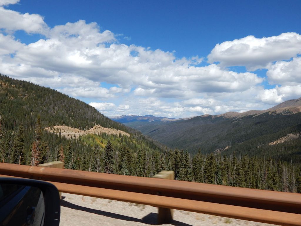
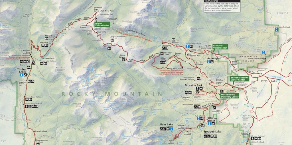
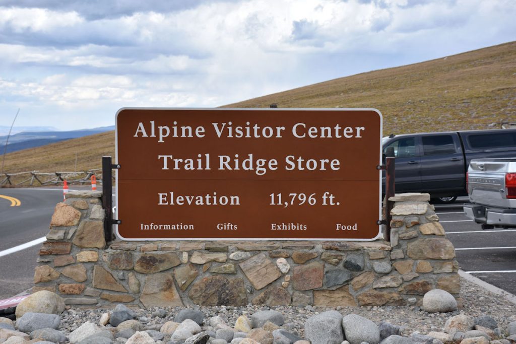
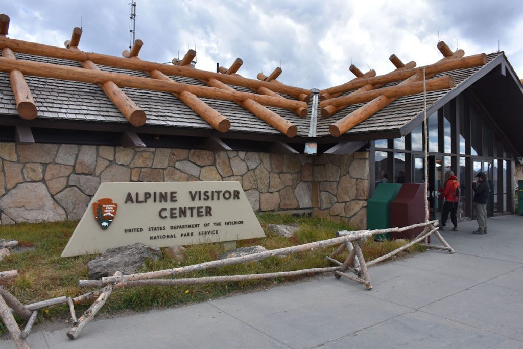
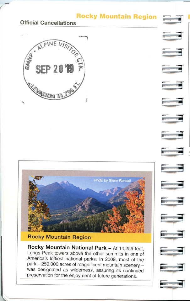
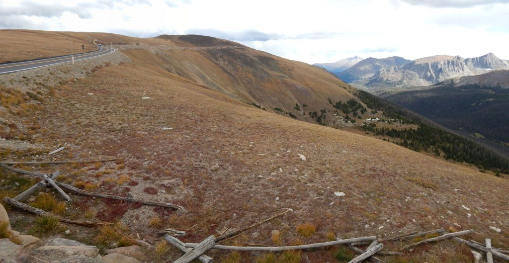
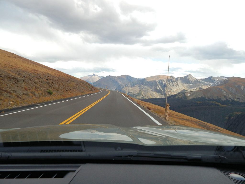
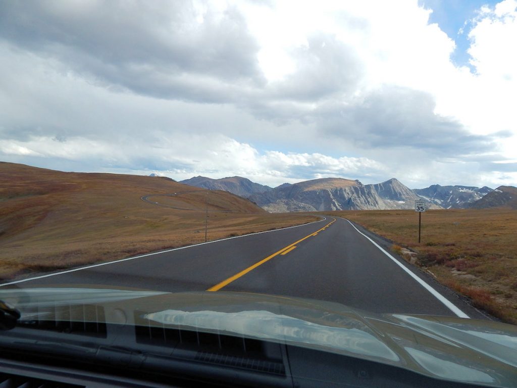
***** ROCKY MOUNTAIN NATIONAL PARK *****
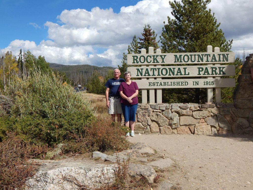
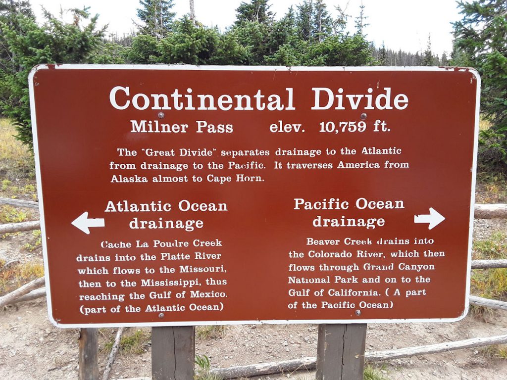
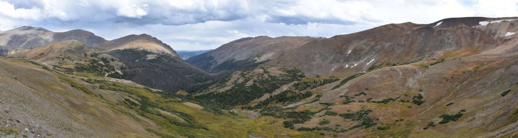
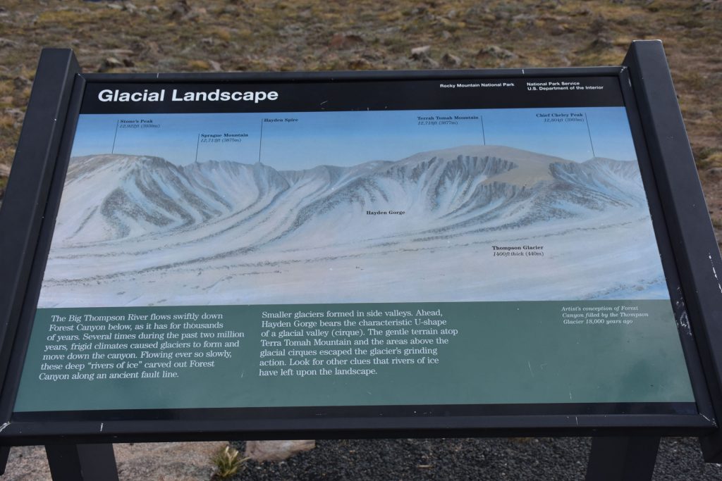
The Rocky Mountain National Park was established in 1915, and covers over 265,000 acres. The headwaters of the Colorado River are located inside the park. The Civilian Conservation Corps built the road through the park (Trail Ridge Road) in 1930s. This road is the highest-elevation through road in the US with a peak elevation of 12,183 feet. The highest peak is Long’s Peak at 14,259 feet. There is a large variety of zones within the park including rocky alpine tundra, meadows and streams, waterfalls, forests, high-elevation lakes, and more.
Read more about Rocky Mountain National Park: https://en.wikipedia.org/wiki/Rocky_Mountain_National_Park
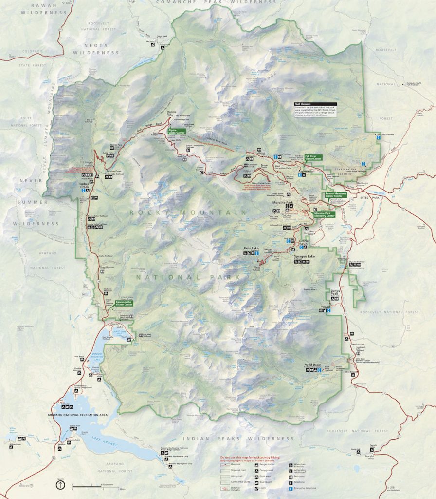
From there, we followed Trail Ridge Road clockwise until we came out on the east side (right side of map) at
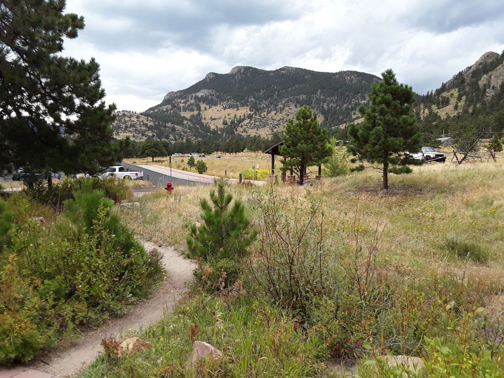
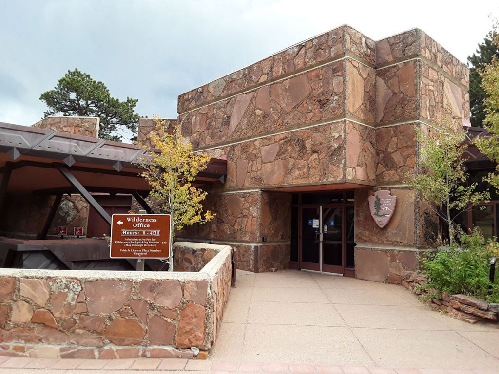
Beaver Meadows Visitor Center. After Estes Park, we continued straight east on Rt 34 to Loveland.
Below is a close-up of the upper/middle section, where we spent most of our time.
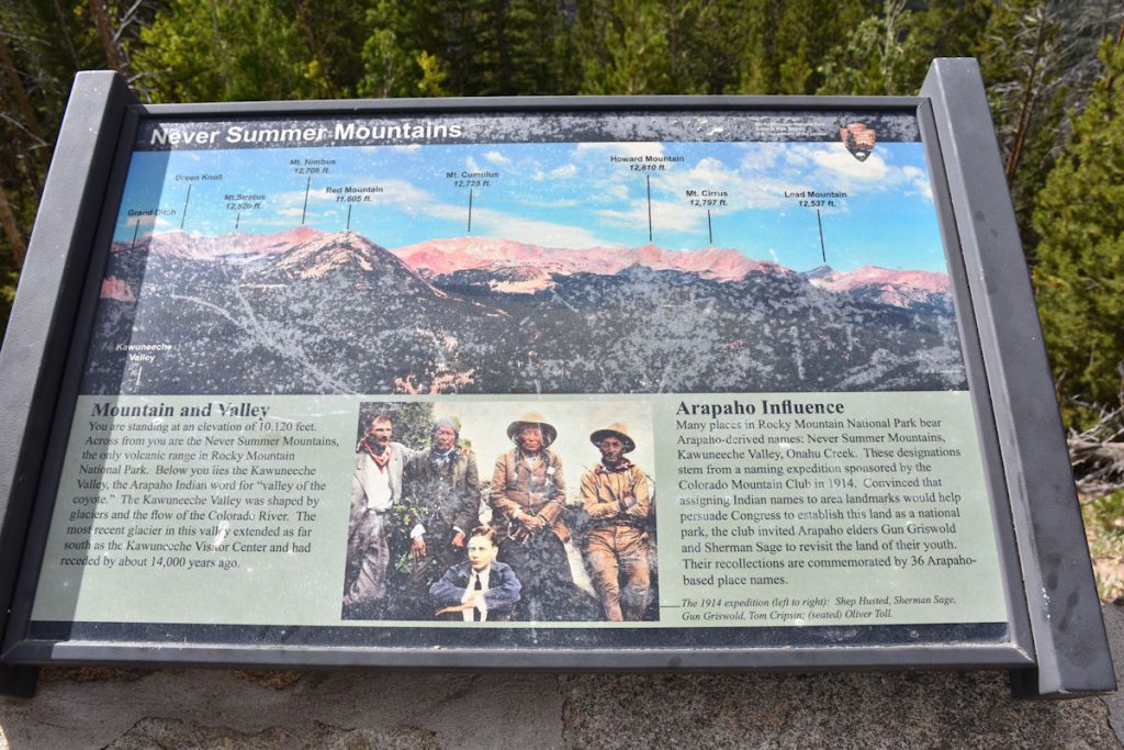
“Never Summer Mountains”
Me: “Nyuk, nyuk, nyuk.”
And Beth was not real happy about this one, either.
Me: “How many times do you think the car would roll over before we reached the bottom of the hill?”
Beth: “Watch the road!”
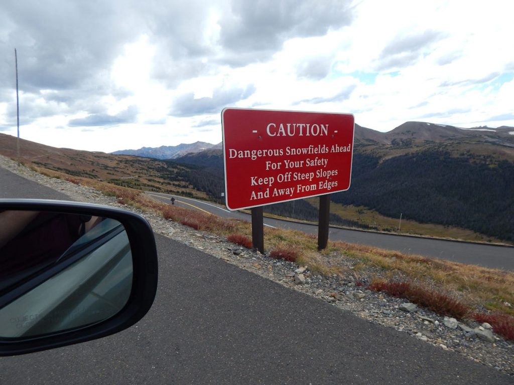
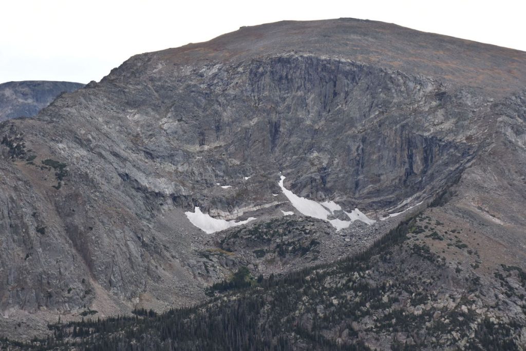
It’s September, and there is still snow on the ground from LAST winter!
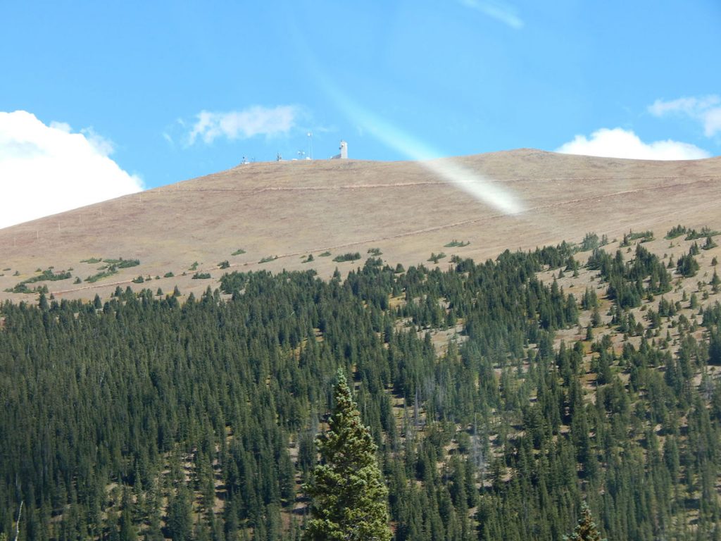
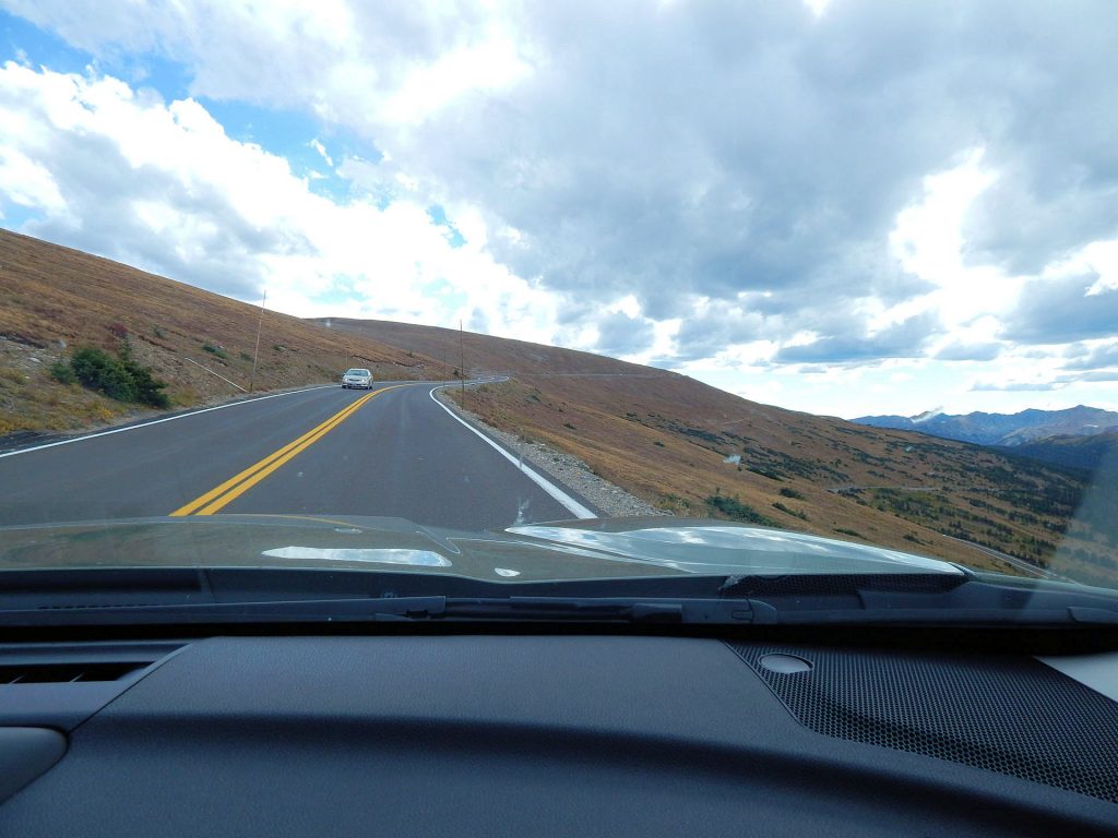
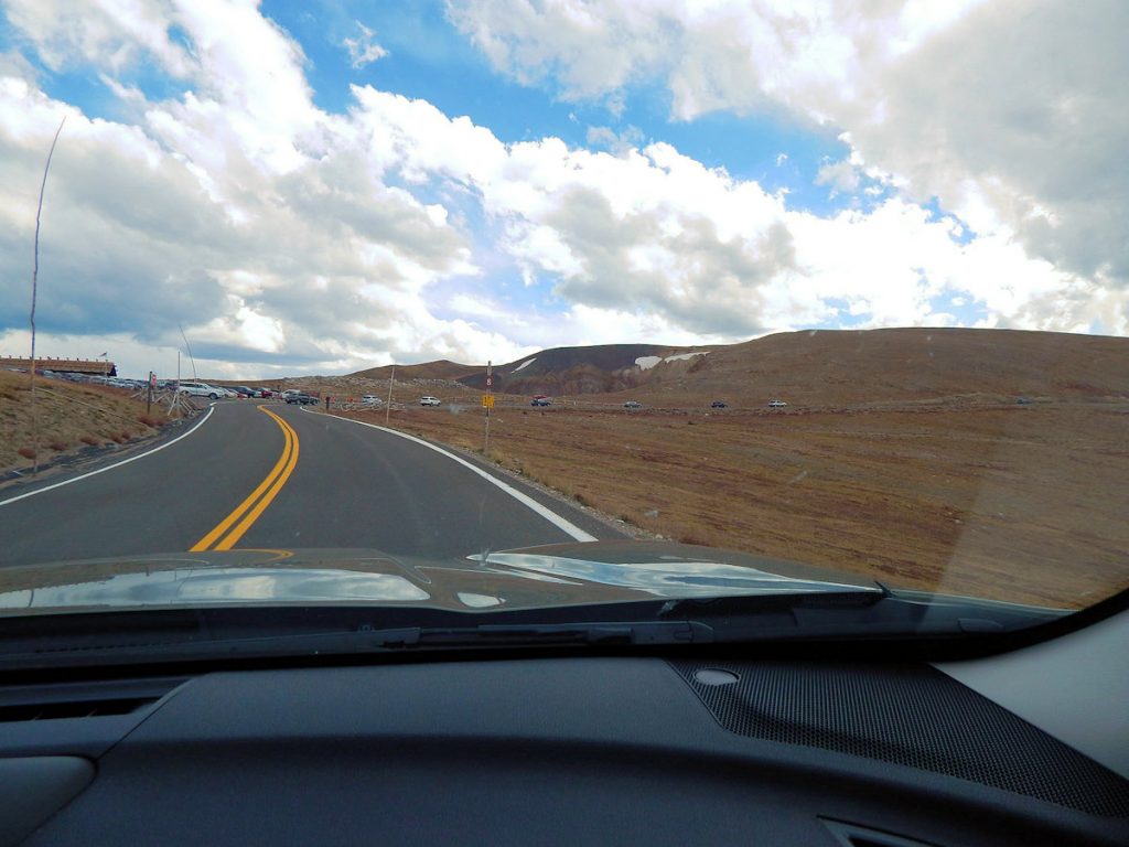
Our highest elevation so far – but soon to be moved to 2nd place as we climb the next peak.
at the entrance an hour ago.
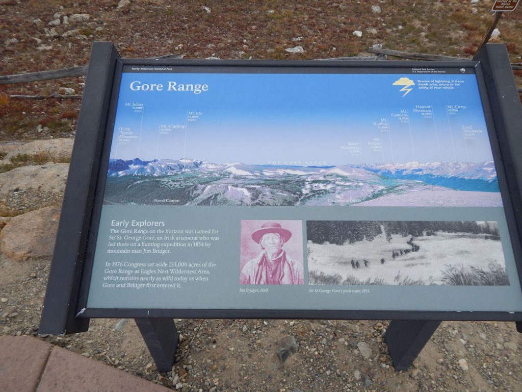
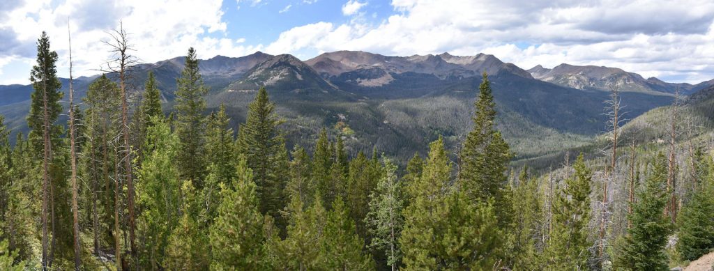
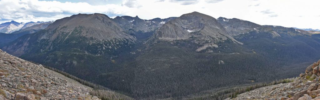
There, you can enjoy the view of the Gore Range and dozens of mountains, most over 12,000 feet elevation.
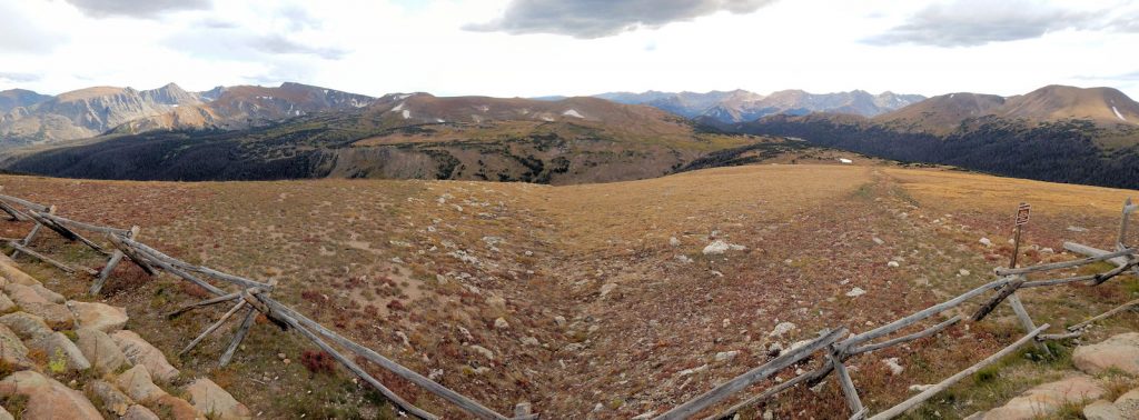
If you look very closely, you can see a car off in the distance at the center of the photo.
They are there to guide the snowplows when the edge of the road is drifted over.
We don’t want any snowplows rolling down the mountain.
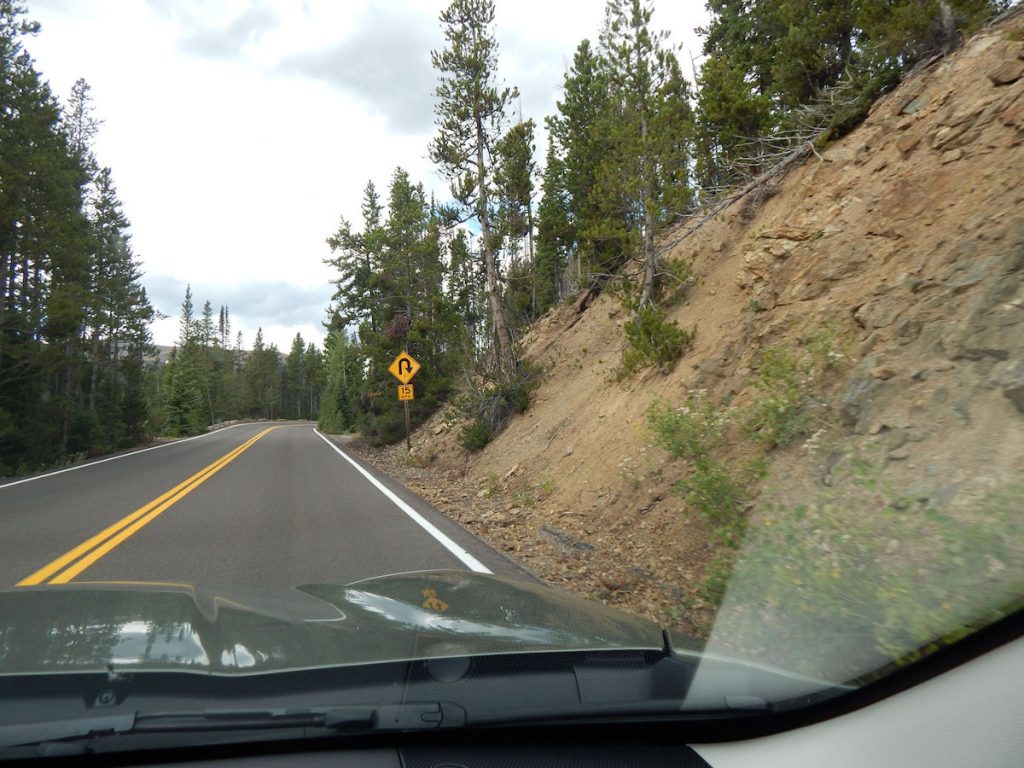
This road is generally closed from mid-October thru Memorial Day.
(12,183 Feet)

Sure enough, there were white specks in the air, but they were melting as soon as they hit the warm windshield.
Just a couple of hours ago, we were in T-shirts.
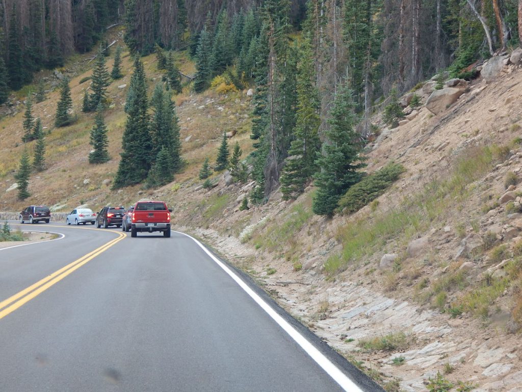
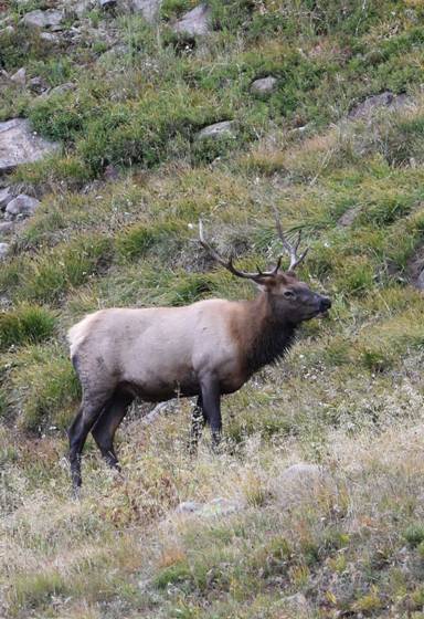
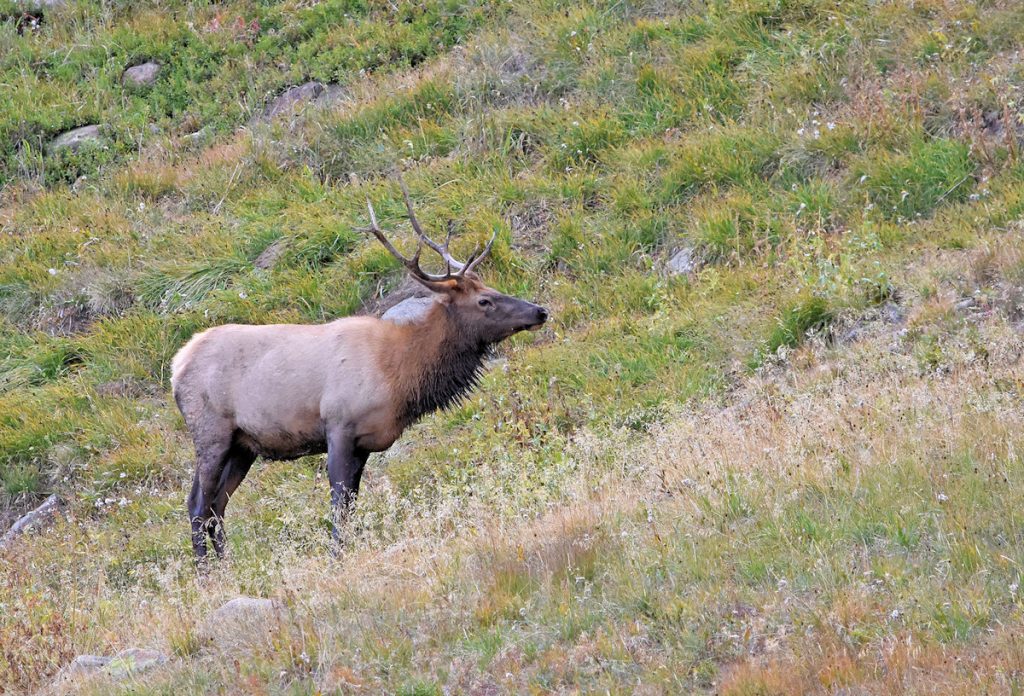
We spotted a bull elk just to the right above the red pickup. Can you see him?
I also spotted a place to pull over for photos.
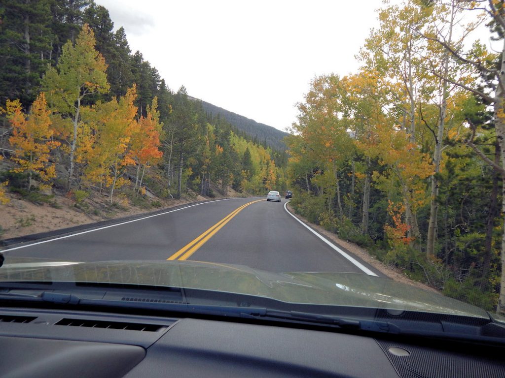
More fall colors in September!
We’re back down to 7,880 feet elevation.
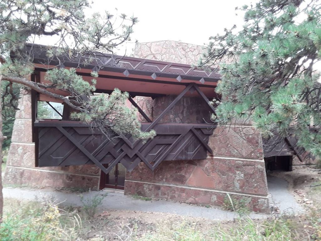
They incorporated many of his principal design elements.
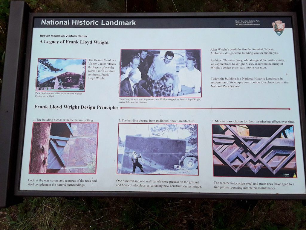
They incorporated many of his principal design elements.
ESTES PARK
We’ll have to save that for another time, as it is already late afternoon and we still have an hour to go.
We don’t want to keep Jean and Lee waiting. Plus, we were pretty tired by now.
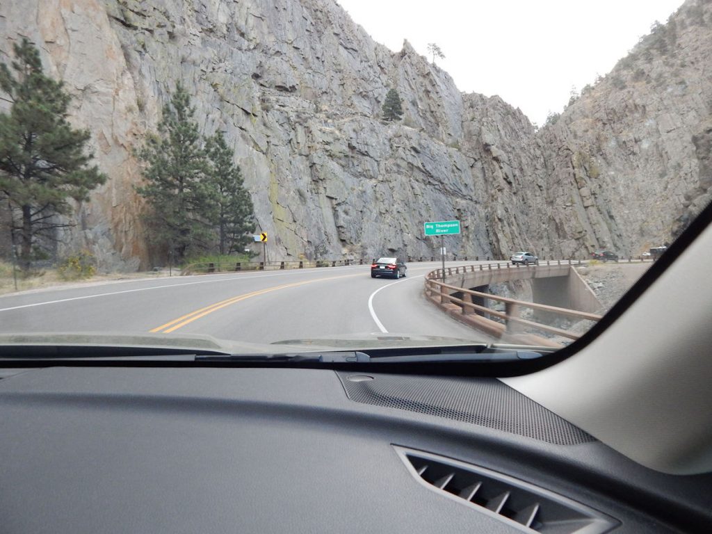
The road follows the Big Thompson River as it descends over 2,000 feet in the next 25 miles through the narrow
Big Thompson River Canyon.
It is a steady downhill “coast” as I hardly had to touch the gas pedal at all.
I think you could ride a bicycle the entire 25 miles and never have to pedal.
There were terrible floods here in 1976 and 2013. The 1976 flood killed 143 people in the canyon as 12 inches of rain fell nearby in 4 hours.
The flood in 2013 destroyed the powerplant at the city of Loveland.
Read more about the canyon and river: https://en.wikipedia.org/wiki/Big_Thompson_River
See the large pipe crossing the road ahead? This is the Big Thompson Siphon, a transmountain water diversion project known as the Colorado-Big Thompson (C-BT) Project. The C-BT system spans 150 miles from east to west and 65 miles from north to south. It is one of the largest water diversion projects of its kind (in acres irrigated), second only to California’s Central Valley Project.
Construction of the C-BT began in 1938 and was completed in 1957. The project diverts water from Colorado’s western slope to the drier eastern slope and plains, delivering an annual average of 220,000 acre-feet of water to 30 cities and towns in northern Colorado to be used for agricultural, municipal, and industrial needs. Water supplied to reservoir and ditch companies helps irrigate more than 600,000 acres of farmland and augments drinking water supplies for more than a half million people.
Notes from Big Thompson Watershed Forum: https://btwatershed.org/watershed-tour/
***************************
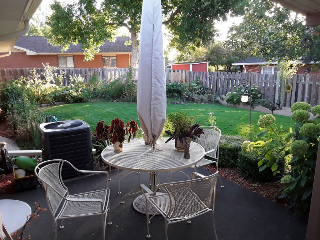
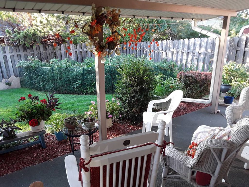
LOVELAND, COLORADO
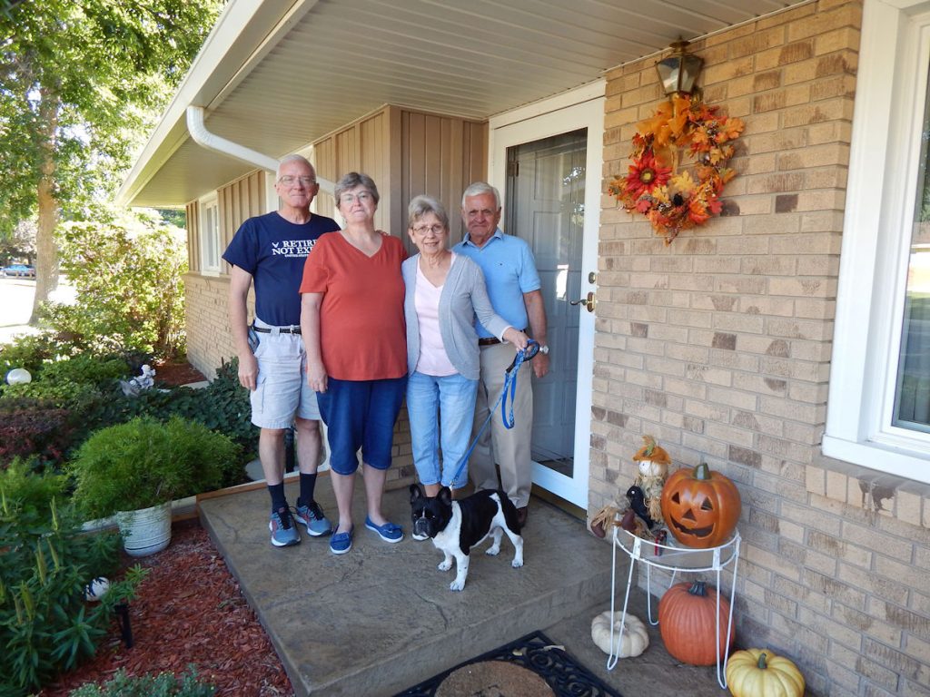

Jean shared seeds and plants for our garden back in West Virginia.
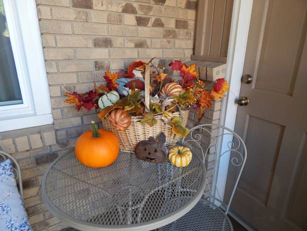
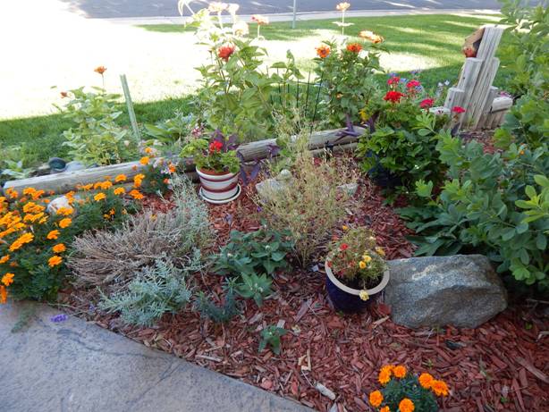
They also have nice decorations around the front of their home, too.
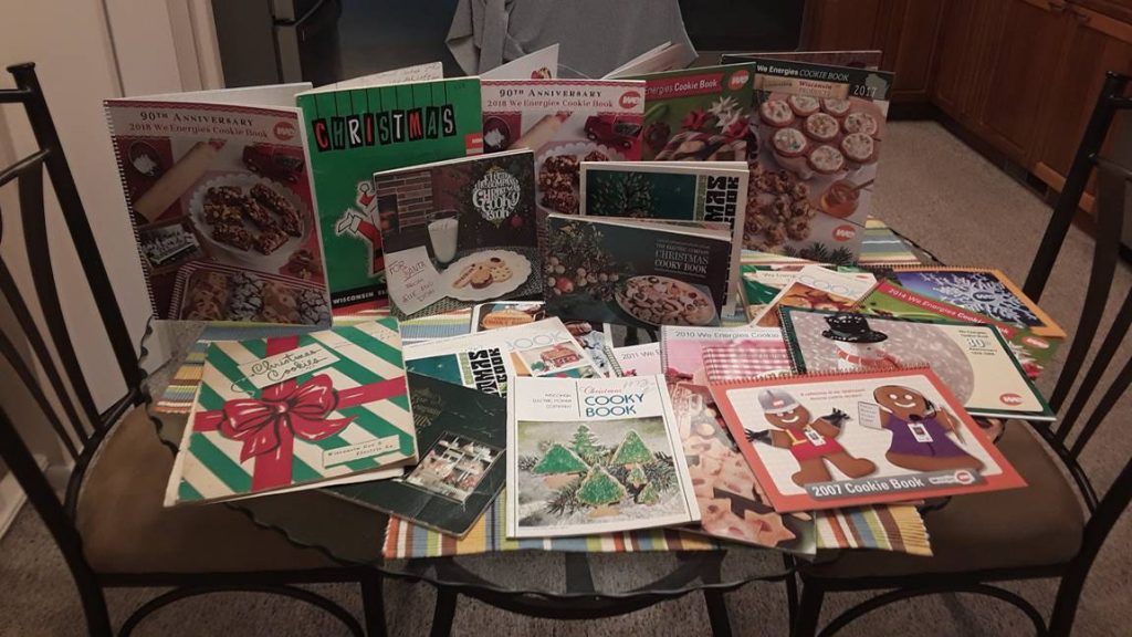
Jean and Beth enjoyed looking through old cookbooks from years past.
(I’m looking forward to finding some new cookies on the table this Christmas!)
We enjoyed our visit with Jean and Lee (and Gherkin). Thanks for letting us stay with you!
Tomorrow, we will be heading to North Platte, Nebraska on our way to our old home at Offutt Air Force Base near Omaha.
Hope you can join us! Thanks.
Mileage Today: 340 Miles
Trip Total: 4,779 Miles
PROCEED TO DAY 22 – LOVELAND, COLORADO TO NORTH PLATTE, NEBRASKA VIA OLD RT 30 (LINCOLN HIGHWAY)