
Wisconsin, U.P. Michigan, Mackinac Island, Canada, and Niagara Falls
9 Days – 5 Great Lakes – 1 Historical Football Team
1 College Roommate – 1 Historical Old Island
2 Big Waterfalls – 1,700 Miles

July 2018

We left West Virginia early on Monday morning for the 600+ mile drive to Beth’s home in Wisconsin. Her family has a big July 4th picnic most years, and it’s a good chance to see everyone in a short amount of time. Our trip this year coincided with a bad heat wave sweeping over most of the midwest and northeast. Temps were in the high 90s and humidity was high. Glad we have good A/C in the old KIA Soul. Our trusty little car was going to turn 80 (as in 80,000 miles) on this trip, but it’s running like new and we had no worries.
Our plan was to visit family in Wisconsin Monday, Tuesday, and Wednesday, then head north on Thursday. Our loop would take us through Green Bay and Door County, Wisconsin, then north to Mackinac Island and east into Ontario, Canada, finishing up in Niagara Falls before heading home.
We had a wonderful time in Wisconsin visiting lots of folks. Unfortunately, on Wednesday afternoon, the heat got the better of Mike and he did not feel like driving.
Thursday was a rest day, and by afternoon all was well again. We were ready to start our loop north on Friday!
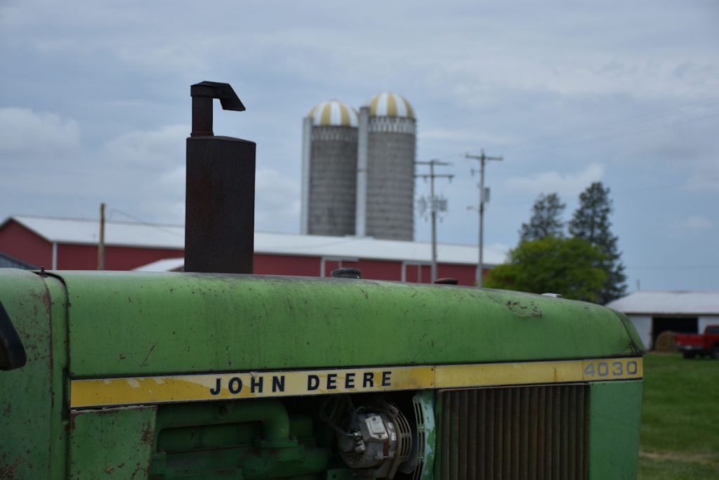
Wisconsin
Monday – Tuesday – Wednesday – Thursday
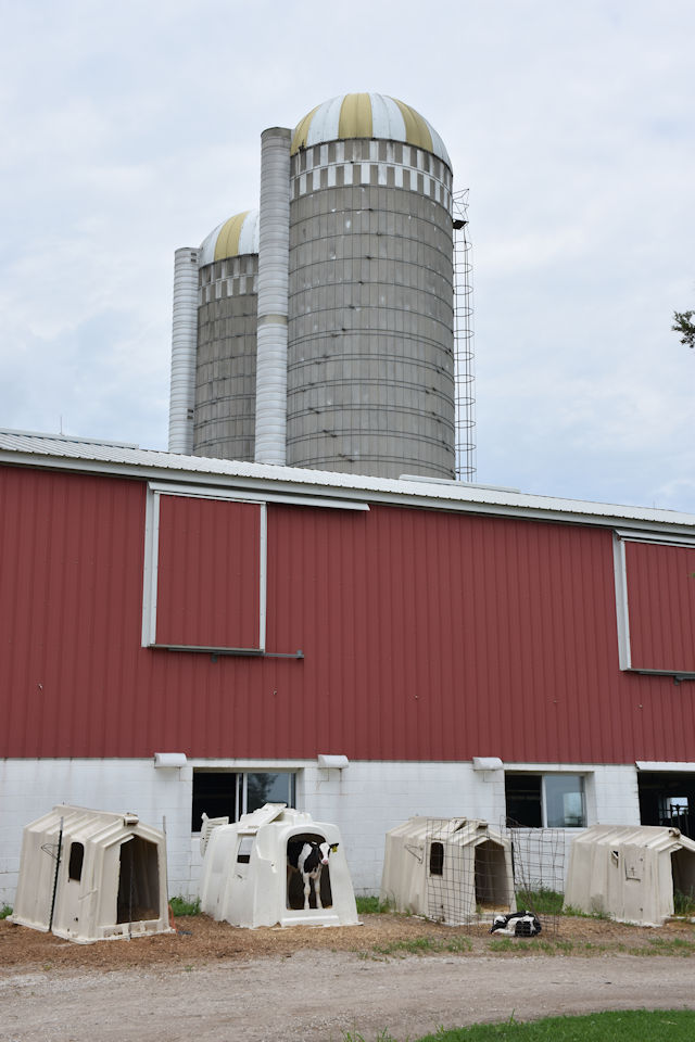
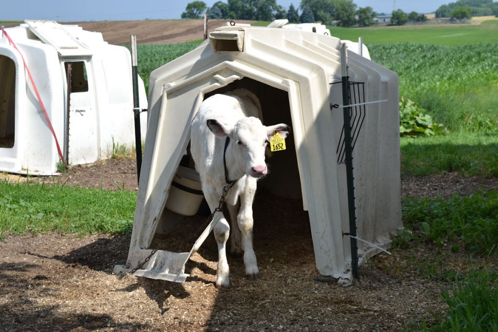
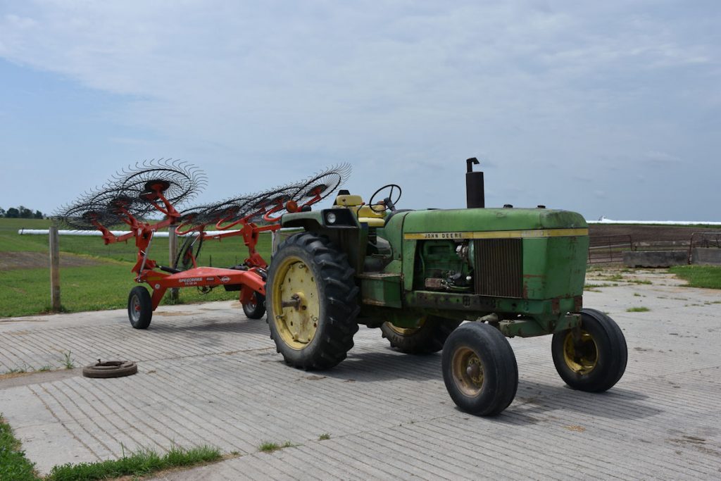
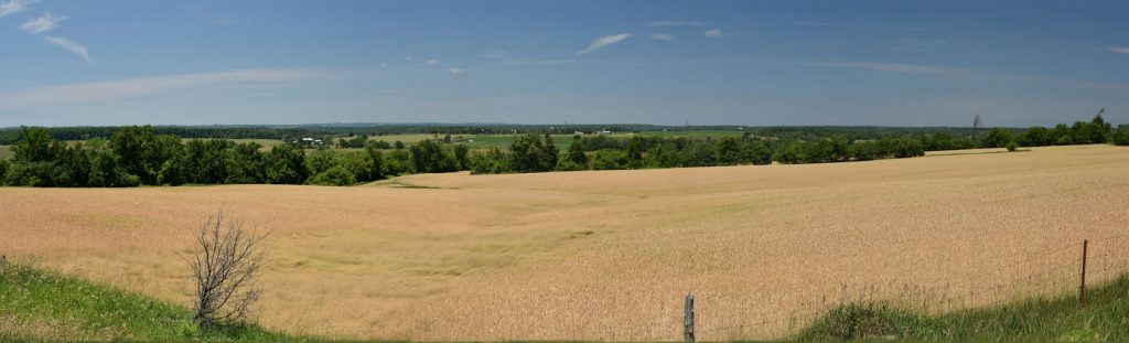
be gathered in large round bales that weigh over 1,000 pounds.
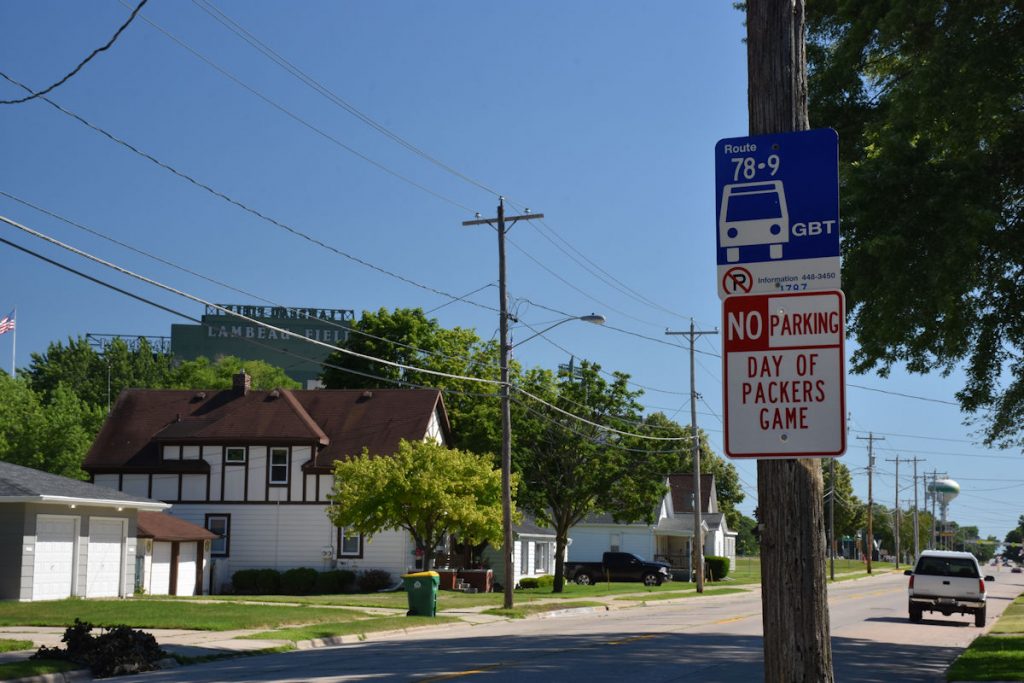
Green Bay and Door County, Wisconsin
Friday
On Friday, we headed north. Our plan is to drive around Door County, Wisconsin. Located just east of the town of Green Bay, it is a small peninsula that juts out into, duhh – Green Bay and Lake Michigan. It is a tourist destination, with miles of scenic shorelines, scenic farmland, and several small towns with touristy type stuff – shops, cafes, more shops, etc. Then, we are going to meet up with one of Beth’s college roommates (whom she has not seen for over 30 years) for supper at the Green Bay Packer’s Lambeau Field.
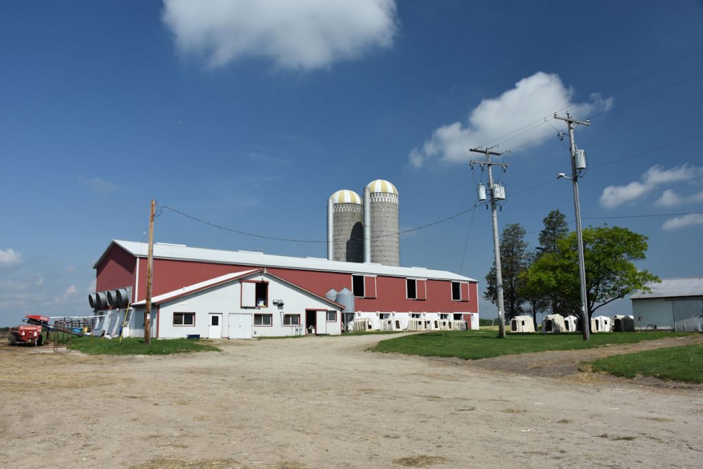
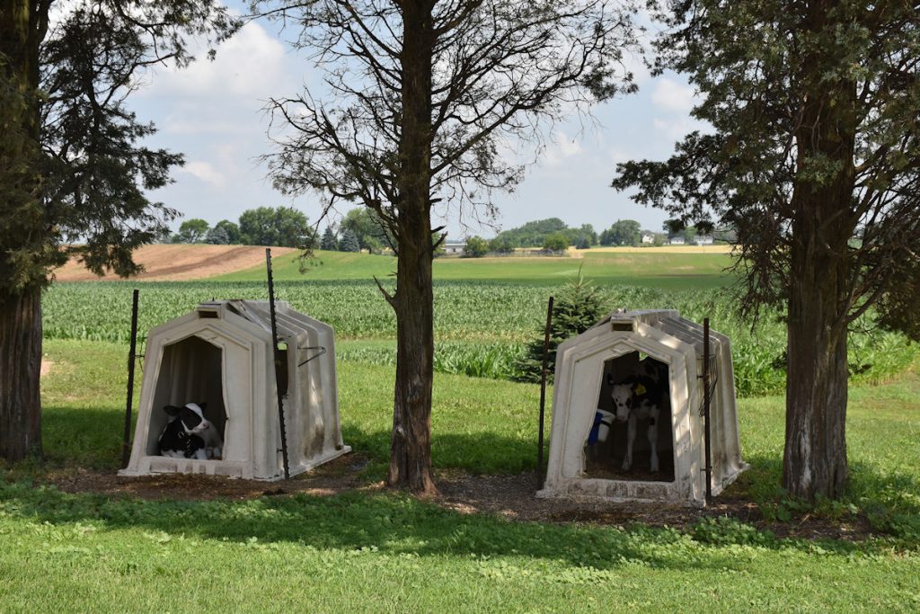
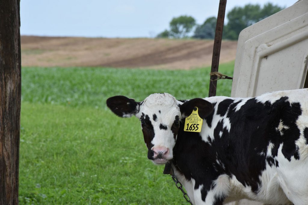
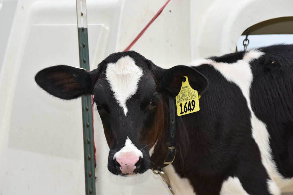
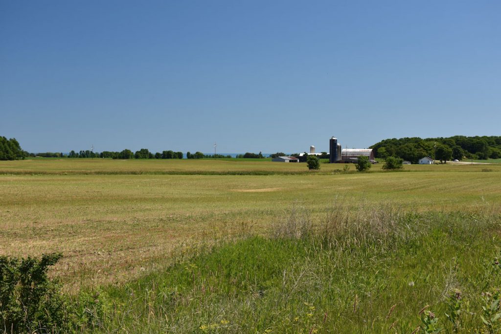
First thing to get done is Milwaukee. As in – morning traffic! The first 20 miles took over an hour. It made the traffic in our hometown look mild. After that, it was smooth sailing. We made a right turn at Manitowoc and we were soon in Door County. Lots of very nice dairy farms up here!
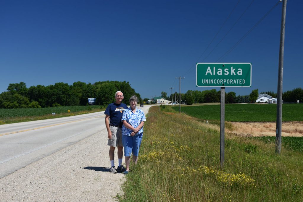
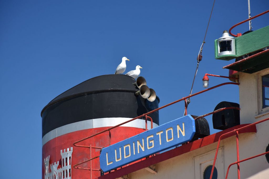
Alaska, Wisconsin – located about 30 miles east of Green Bay.
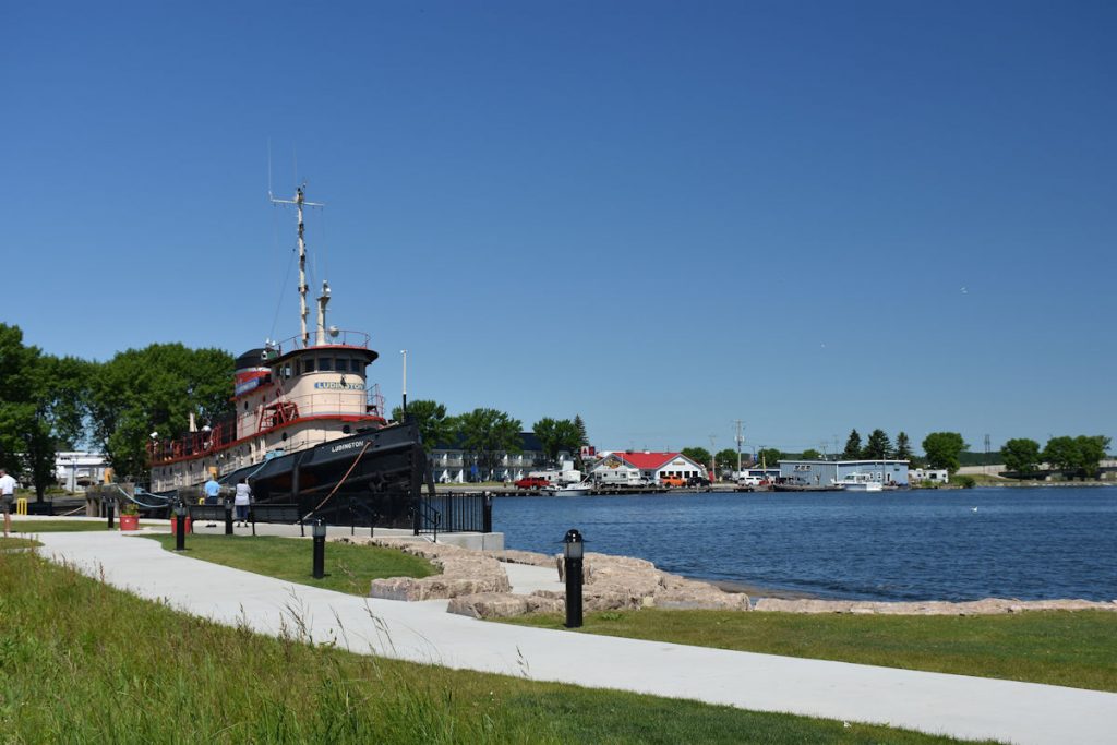
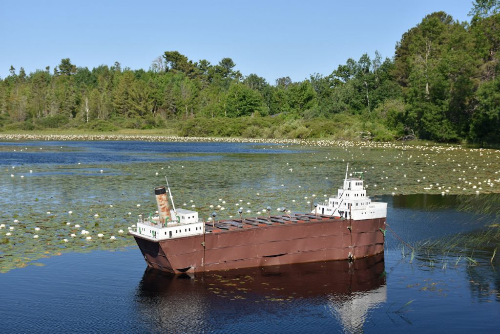
You could live on the boat and move if you want a change of view. Hmmm…….
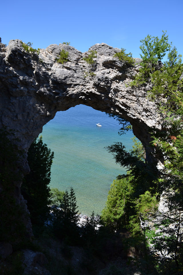
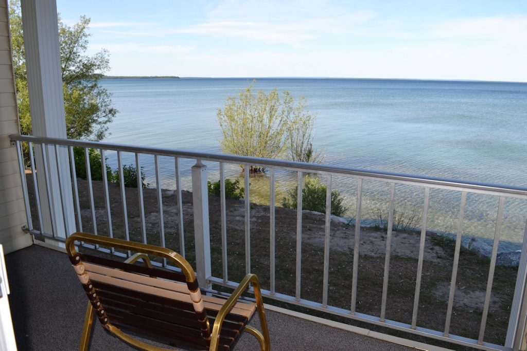
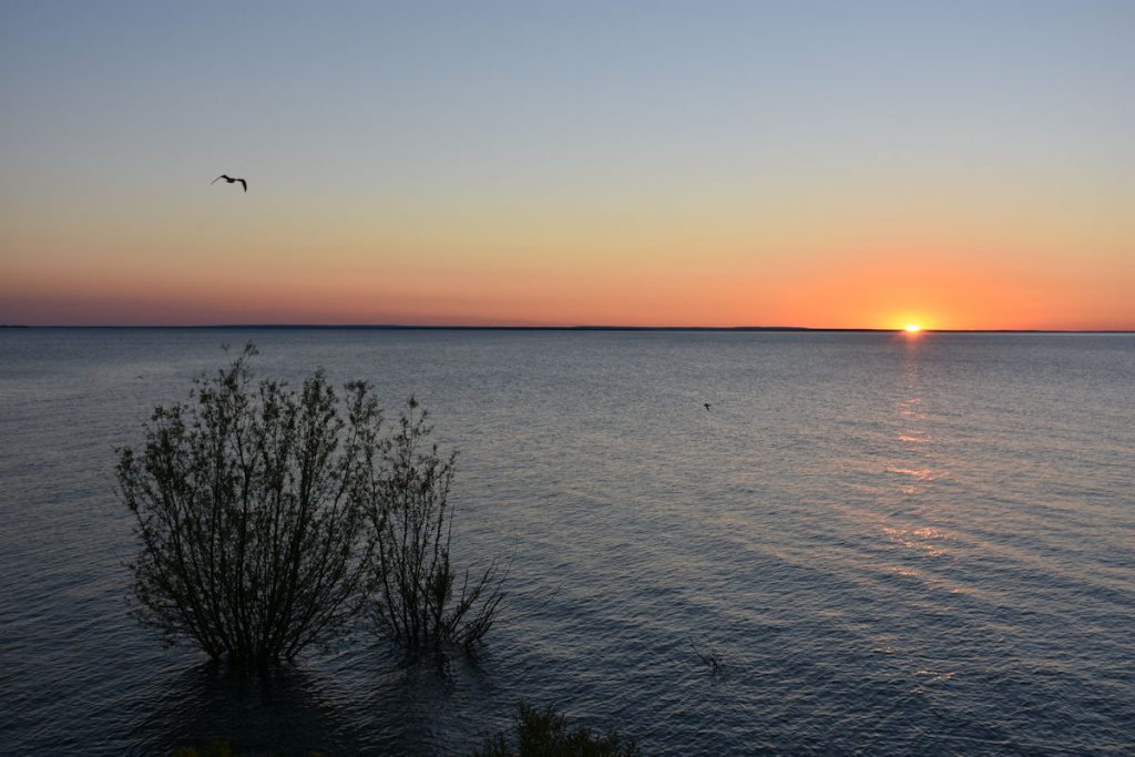
(If you look closely, you can see Lake Michigan in the middle of the photo)
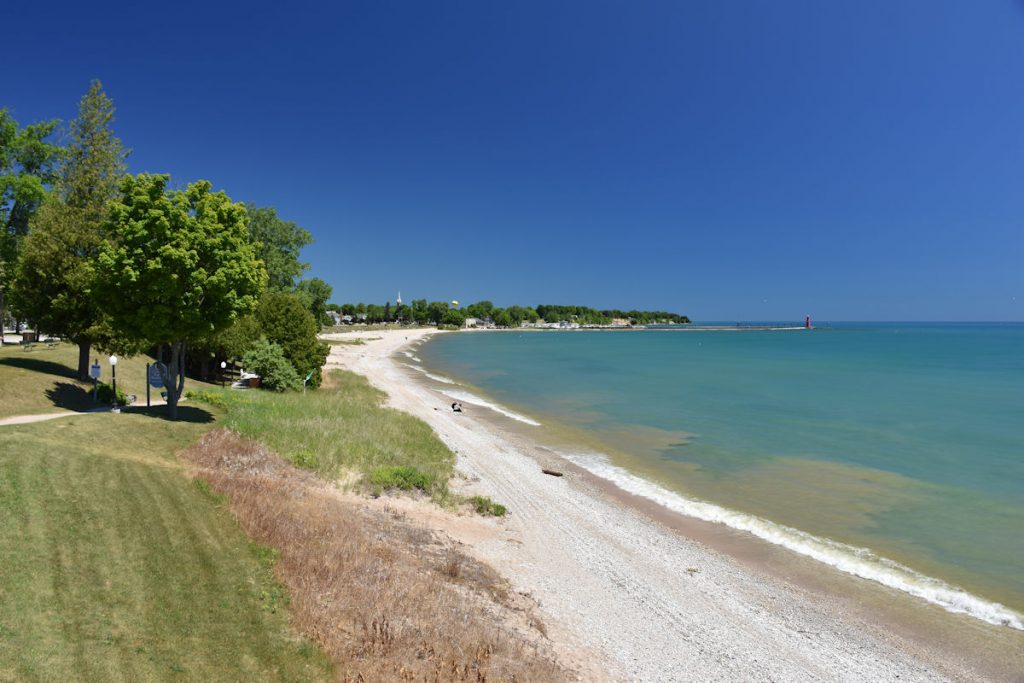
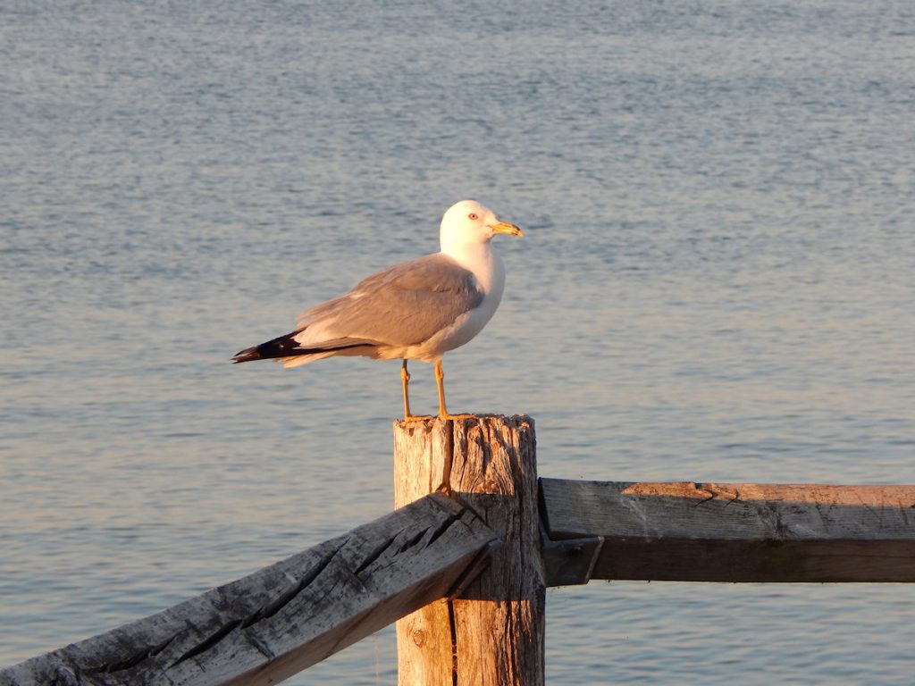
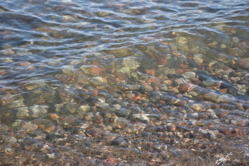
The water from Lake Michigan is crystal clear. And cold!
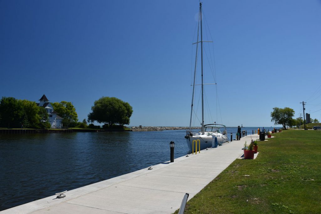
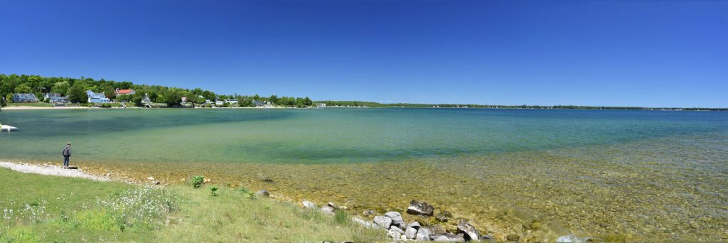
From Bailey’s Harbor, we drove northwest to the opposite side of the peninsula, facing Green Bay. (The water, not the town)
It was more of a main highway, and not as scenic. There were several small tourist towns to shop and eat, but the best scenery is on the south shore.
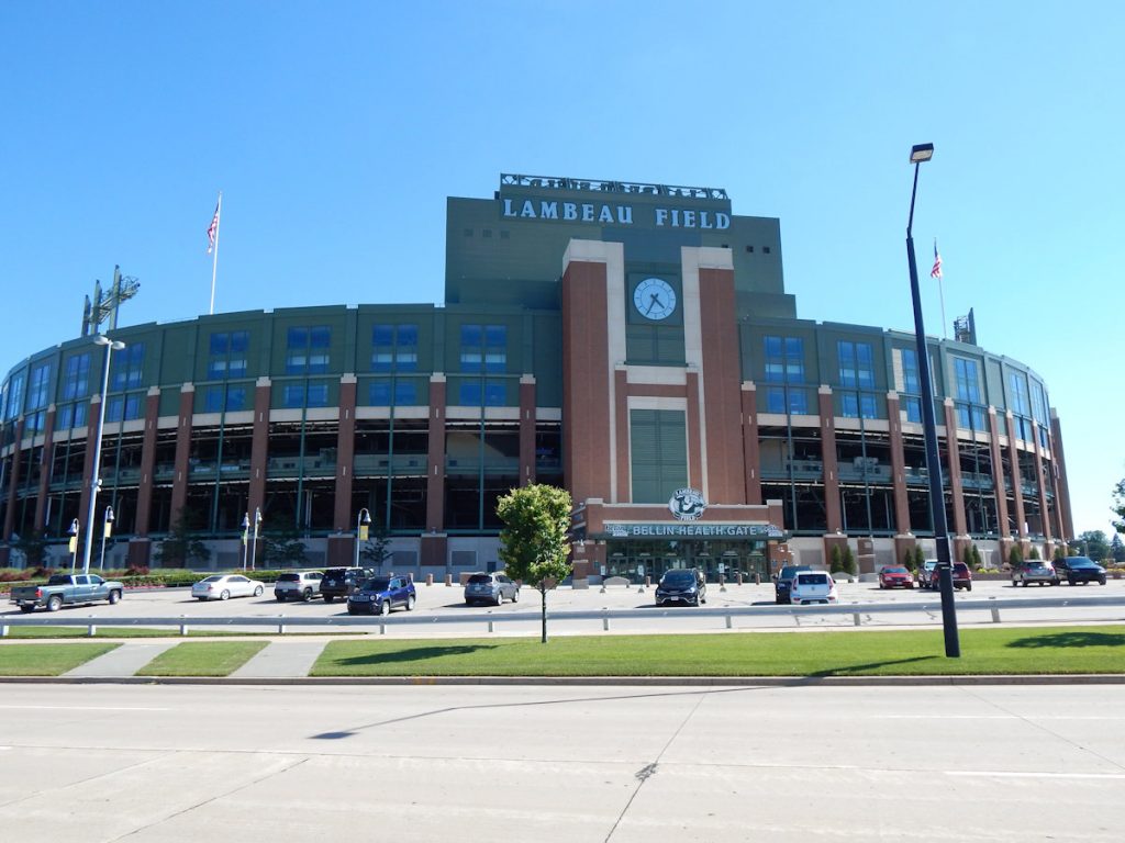
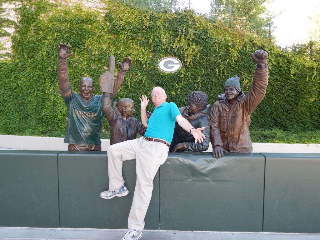
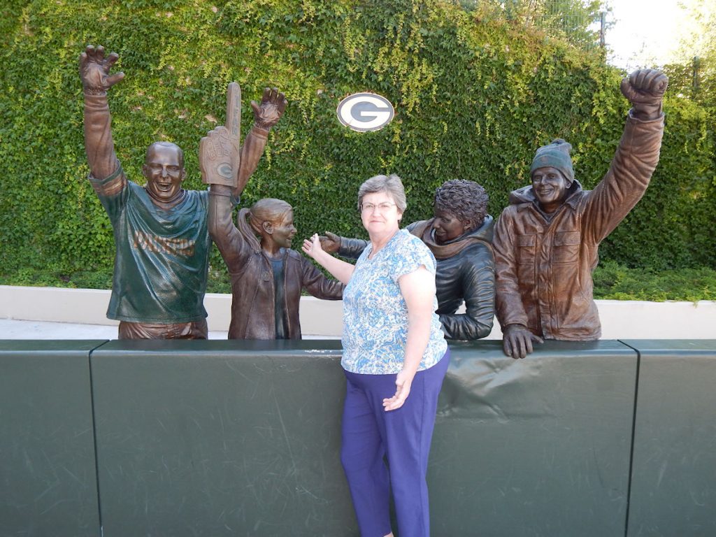
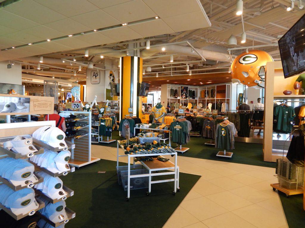
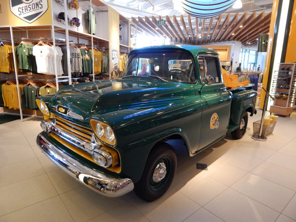
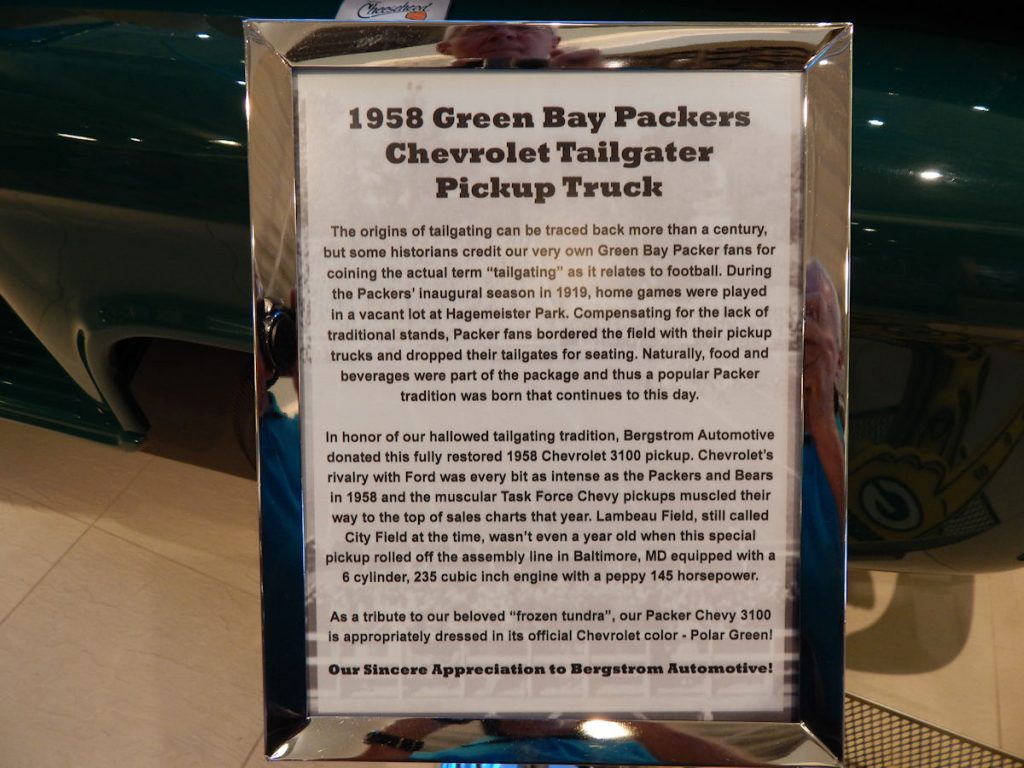
Next stop was Green Bay (this time, the town) to check into our hotel and then head to Lambeau Field
to meet Beth’s college roommate and her husband for supper.
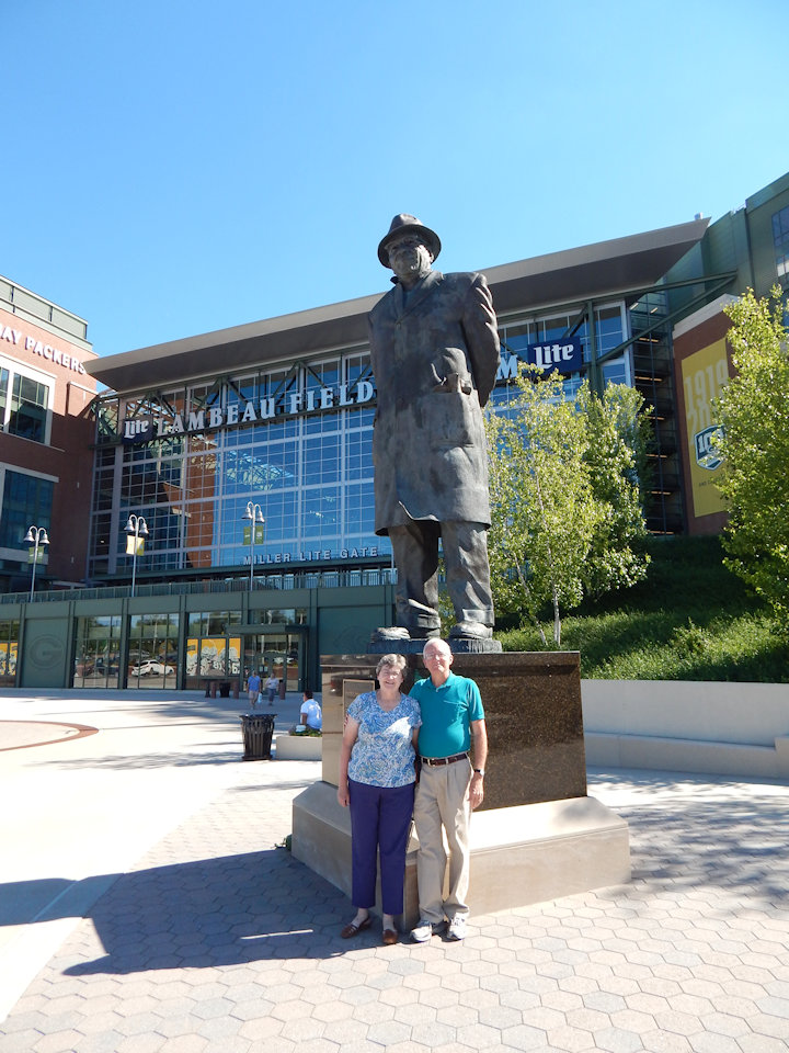
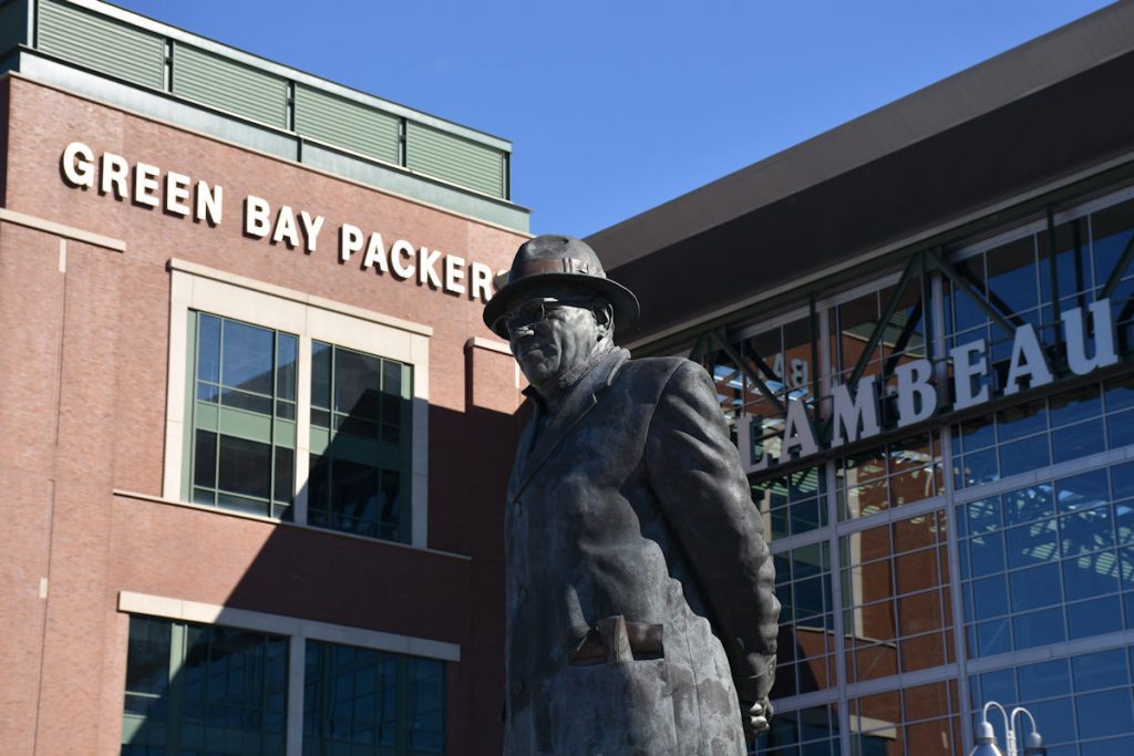
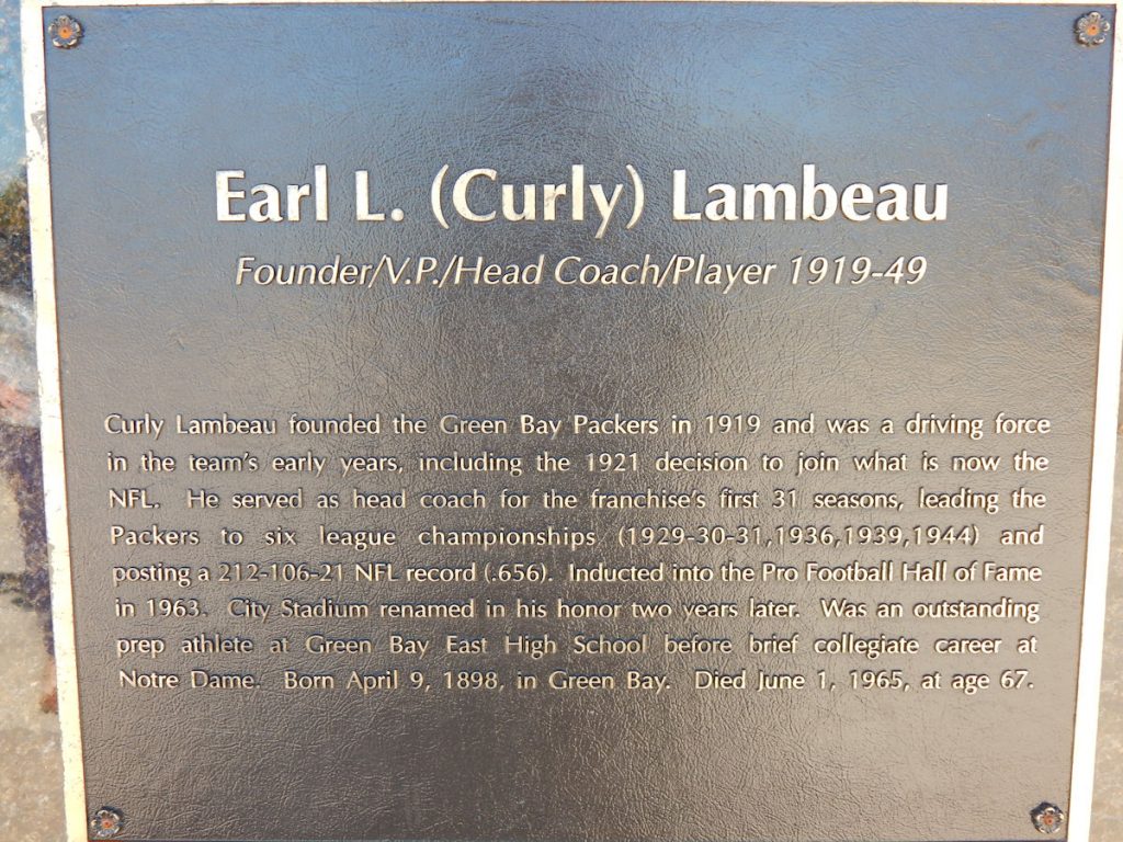
And next to him was the namesake of Lambeau Field.
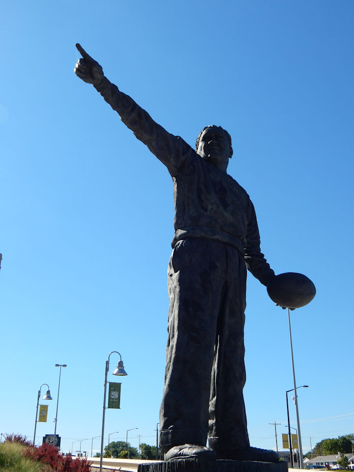
Earl Lambeau
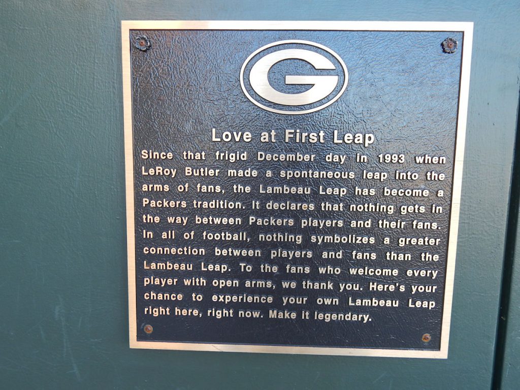
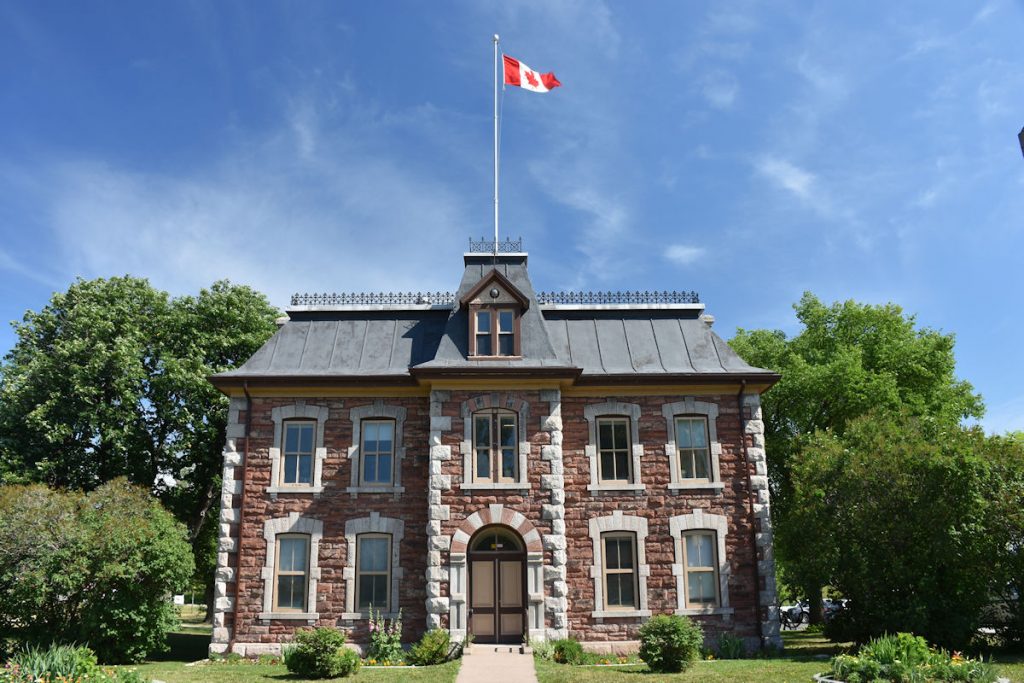
After visiting Rome, I told Beth this was like the Vatican of Wisconsin.
They love their team!
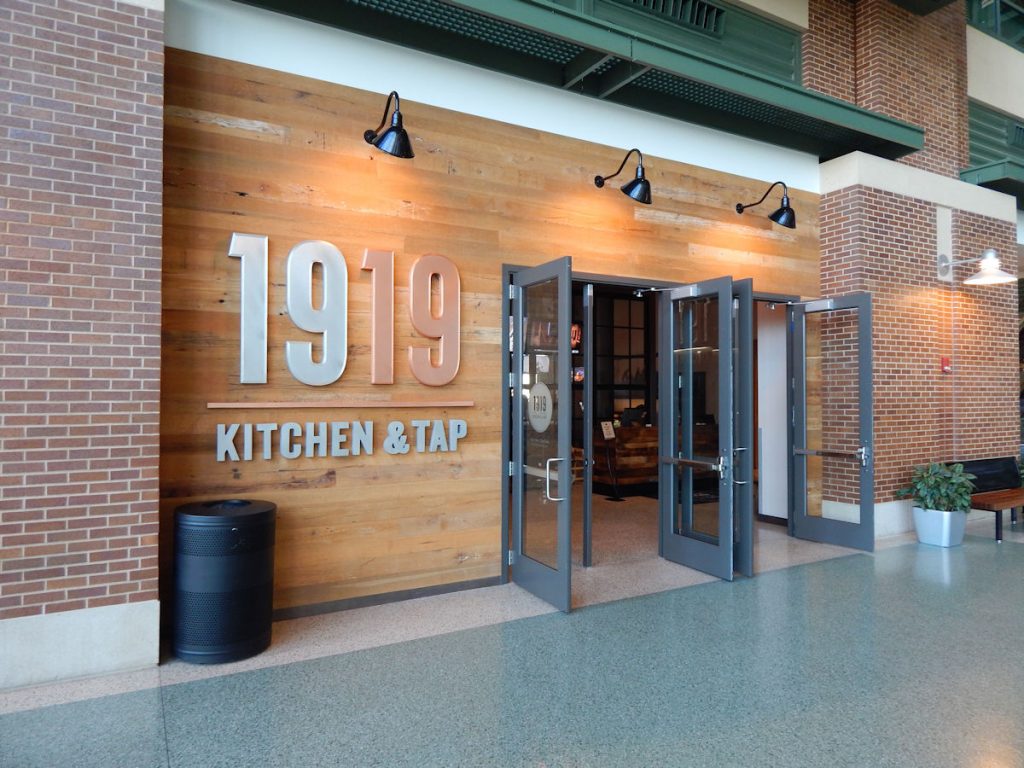
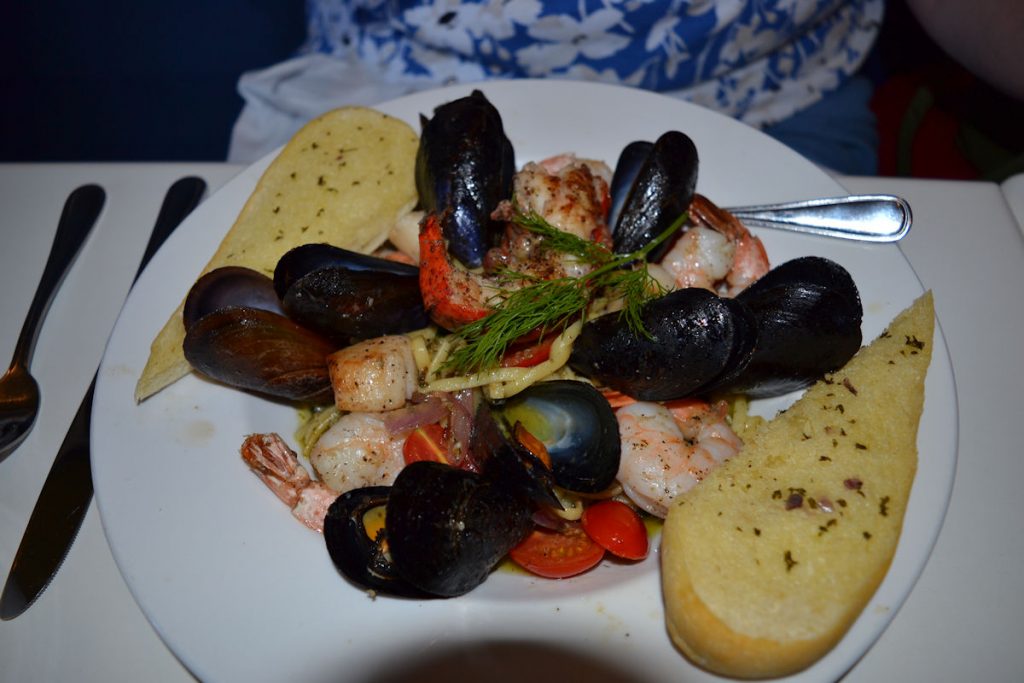
at the 1919 Restaurant in the stadium. Very classy place!
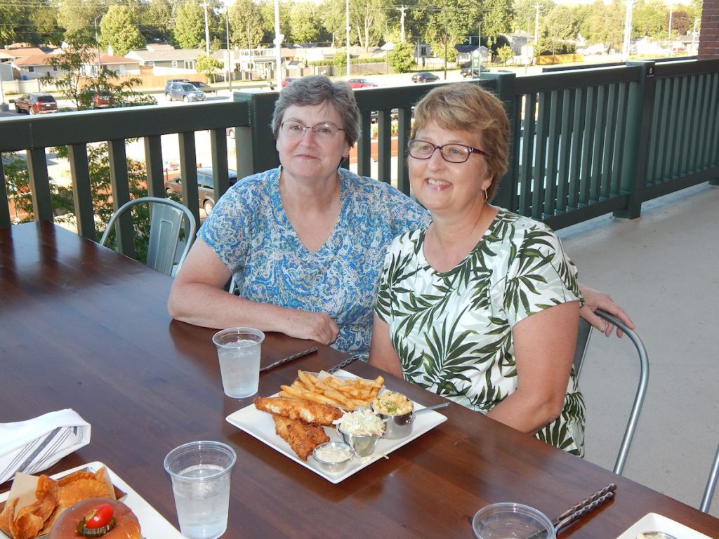
It was a beautiful evening for eating outside and talking with Mary and Jim. (Wish I had taken a photo of all 4 of us, though. Sorry.)
Then it was time to head back to the room and rest for tomorrow’s ride to Mackinac Island.
U.P. Michigan and Mackinac Island
Saturday
After a nice breakfast at the hotel, we were on the road again! It’s just over 200 miles to Mackinac Island. Since we started a day late due to my not feeling well from the heat, we decided that we could get to Mackinac Island by early afternoon and still have enough time to see quite a bit. The weather had cooled off, I was feeling great again, and the roads were good. Mackinac, here we come.
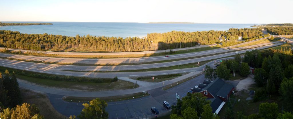
After crossing into the Upper Peninsula of Michigan (locally known as the “U.P.”), we followed Rt 35 along the shore of Green Bay and Lake Michigan. Nice drive with the bay and lake to the right peeking through the trees. Not many places to pull over for a view.
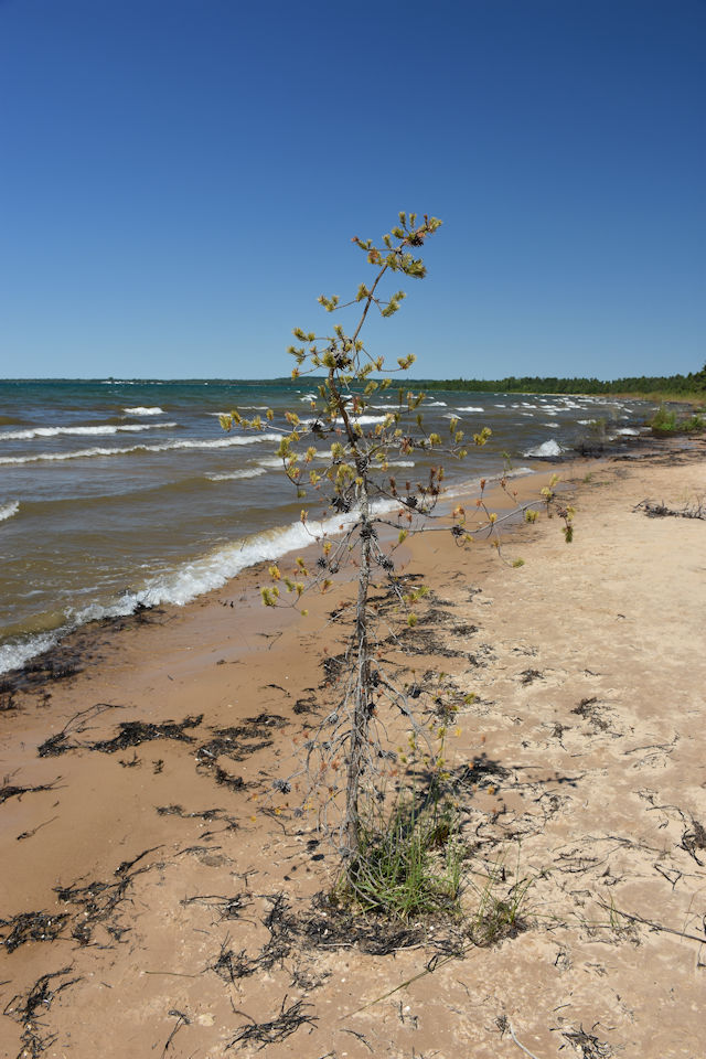
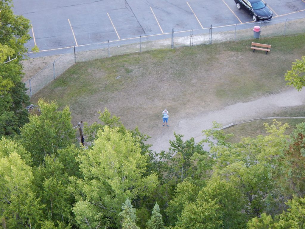
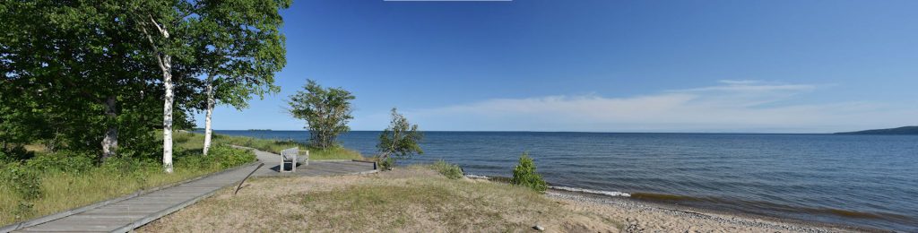
We did come to one rest area and walked over to the beach.
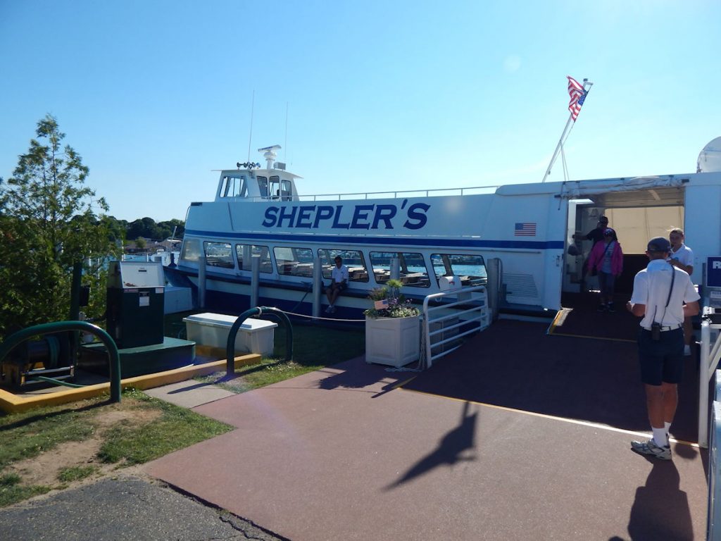
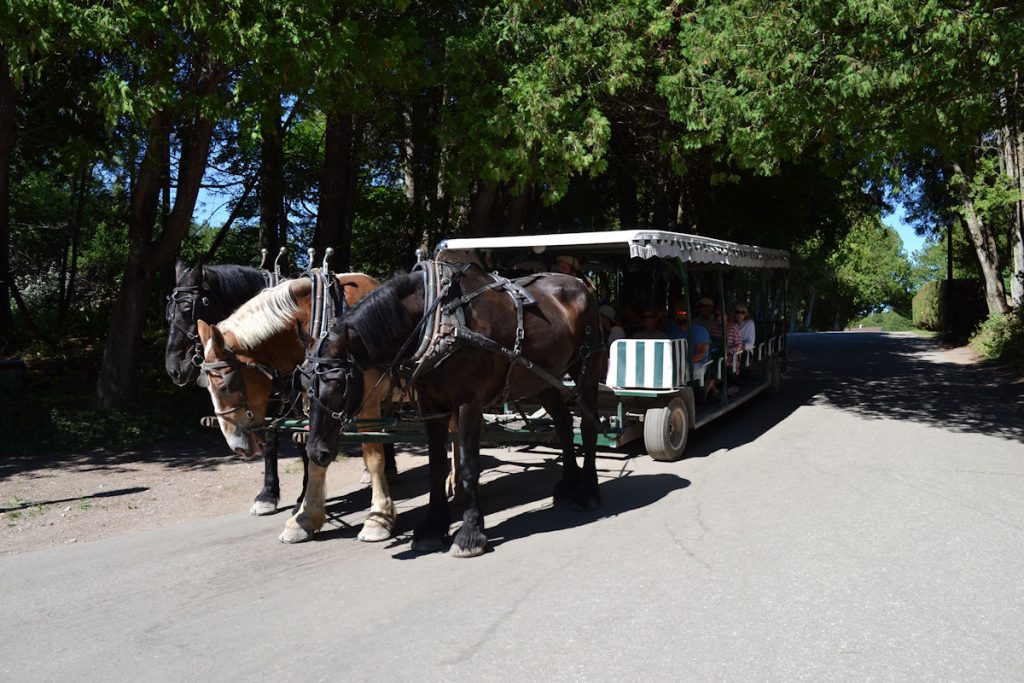
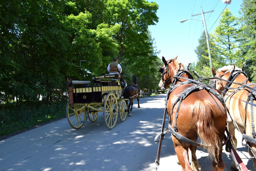
After a quick walk, we were back in the car so we could catch a 1:00 ferry to Mackinac Island.

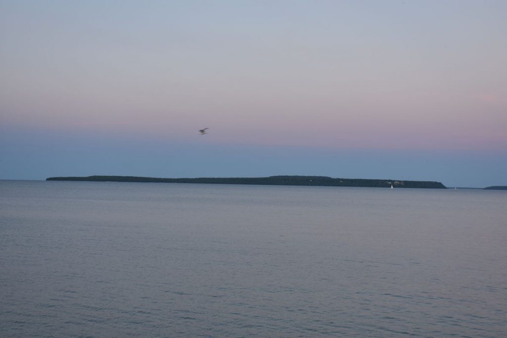
Ahhhh, peace and quiet
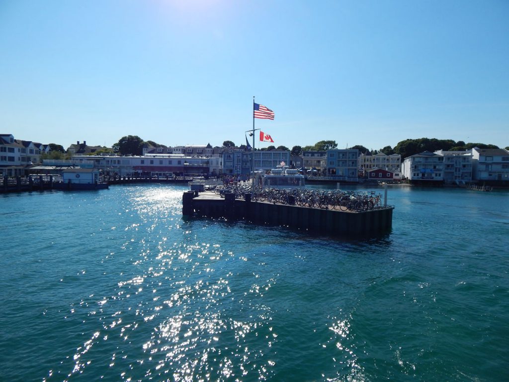
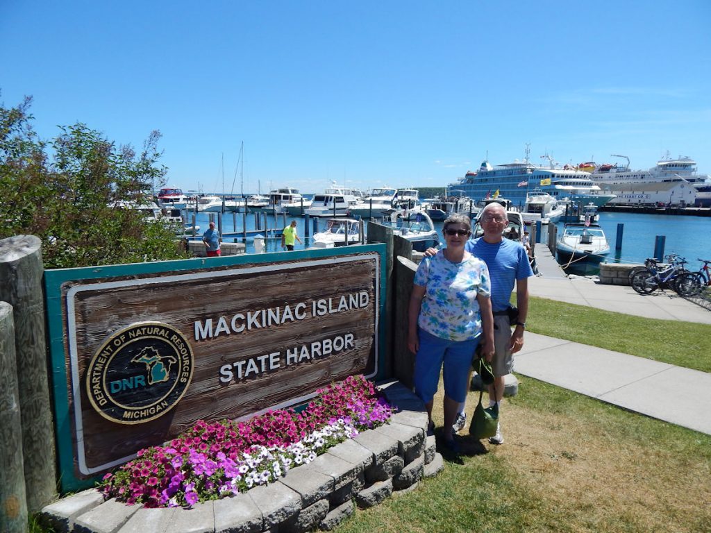
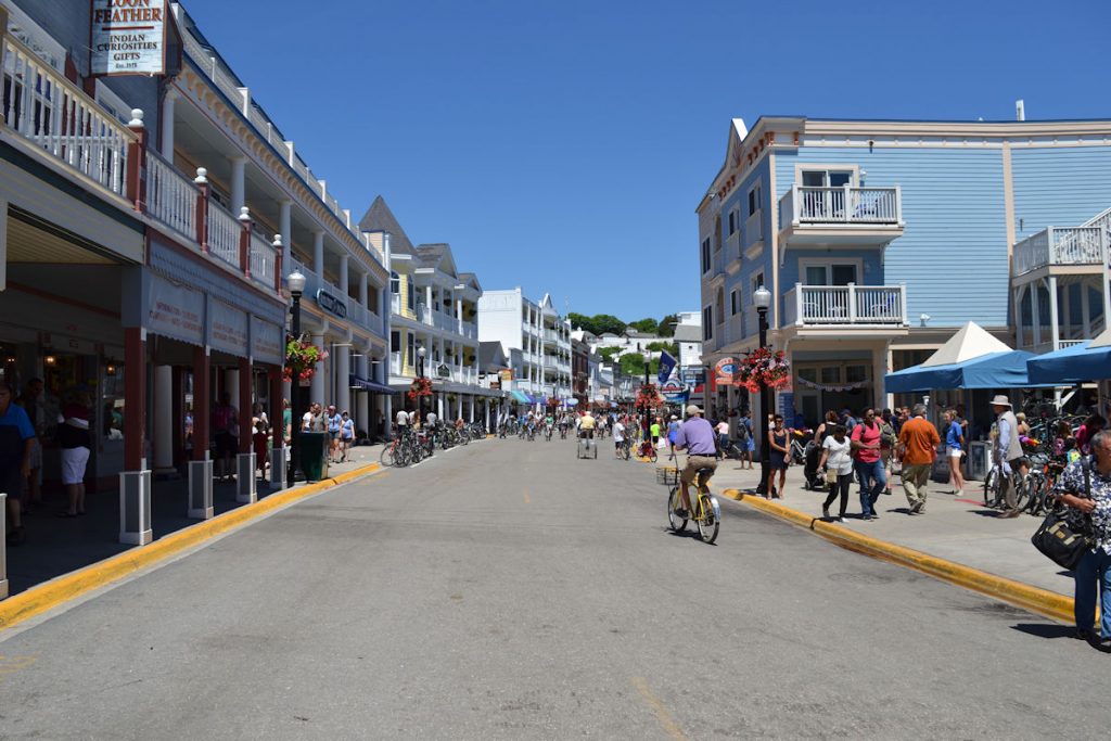
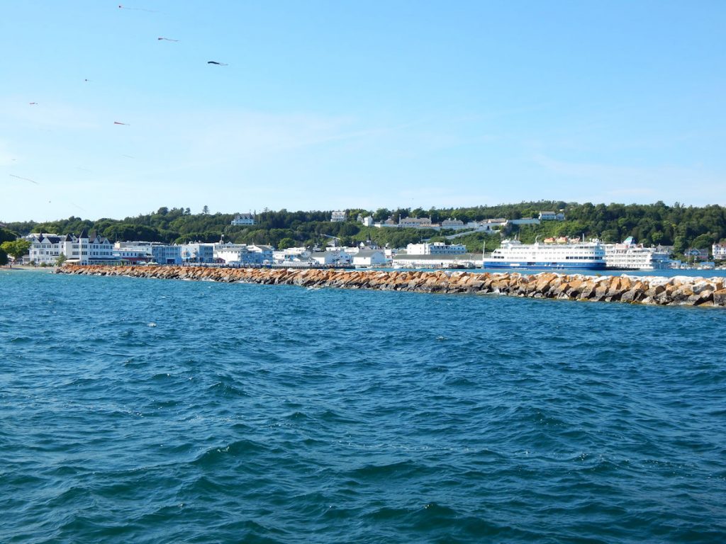
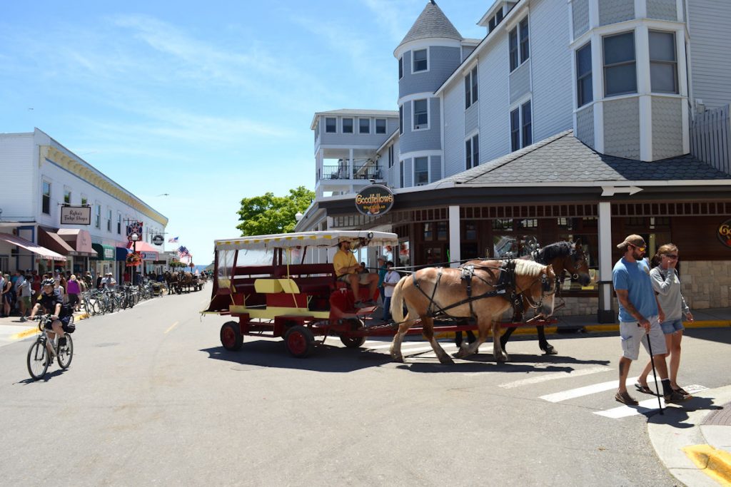
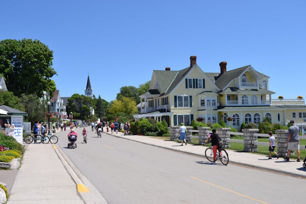
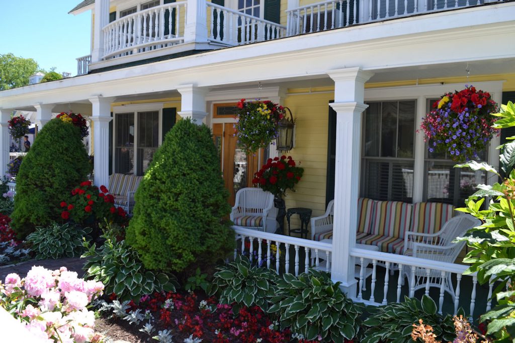
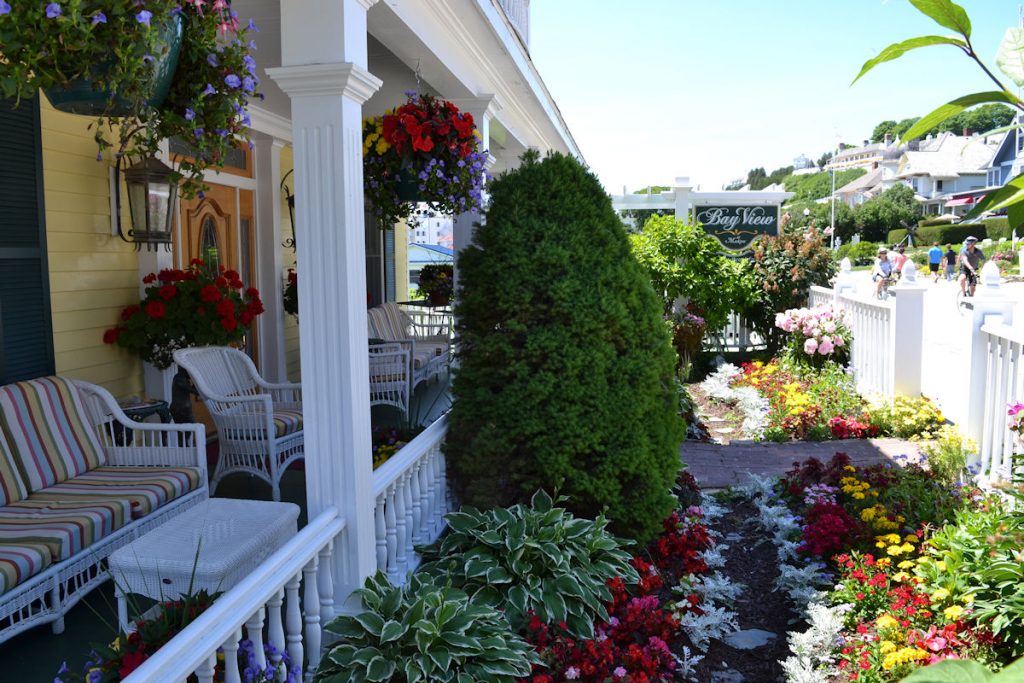
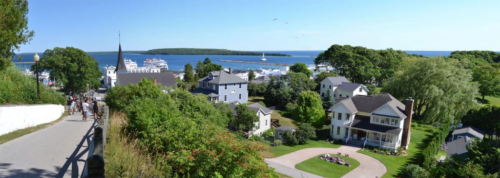
Downtown view.
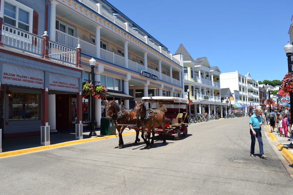
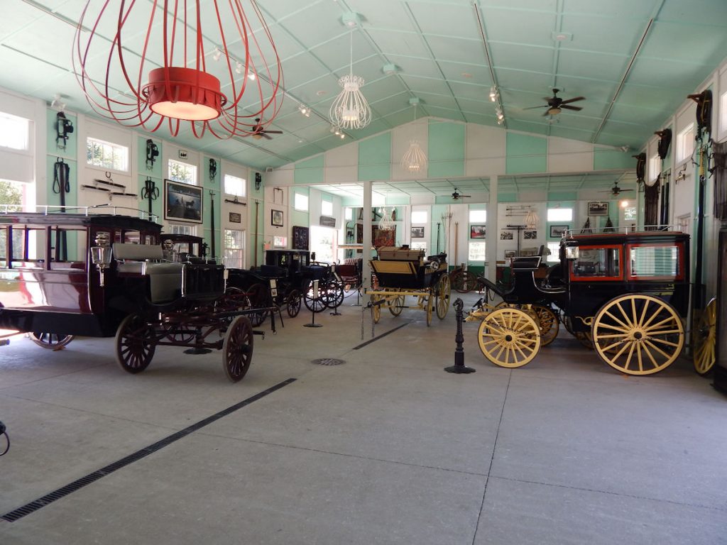
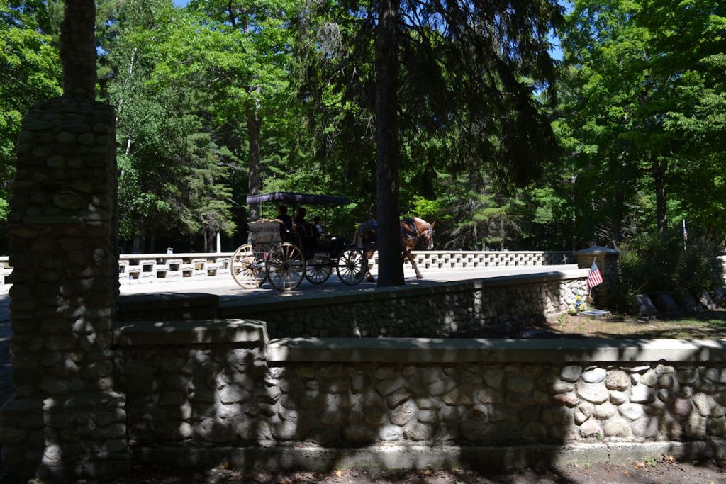
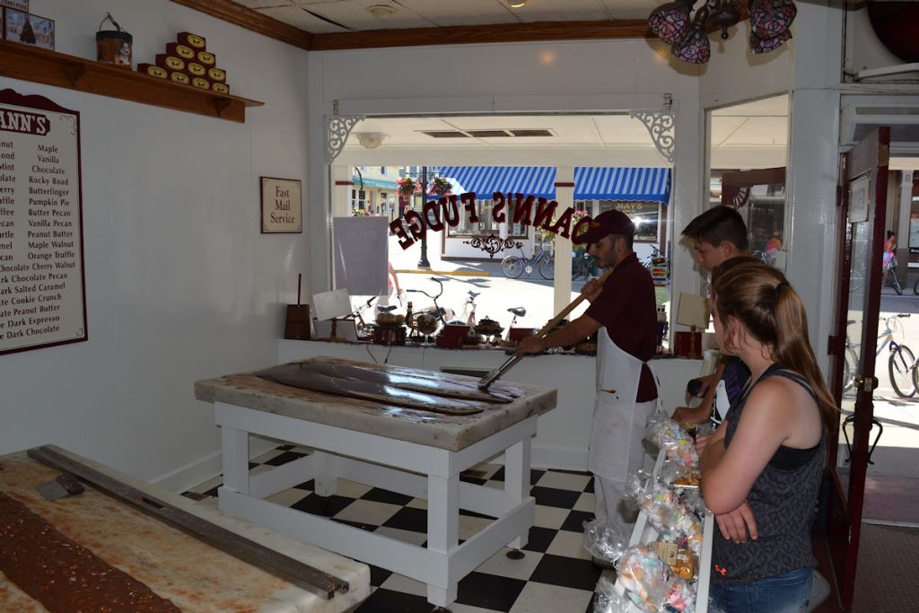
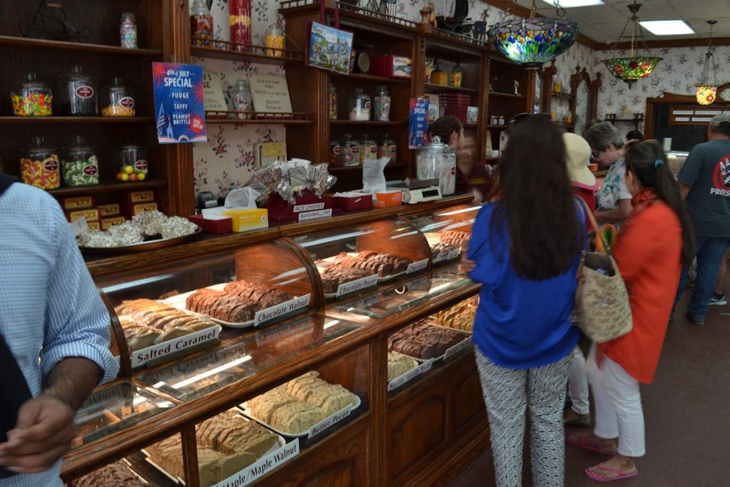
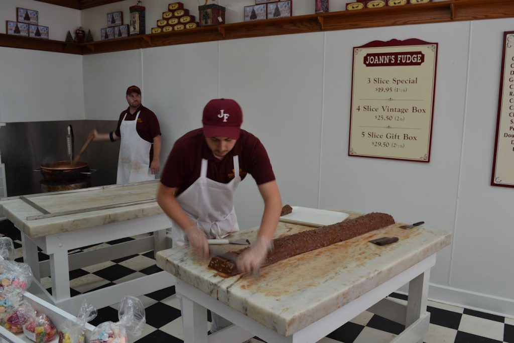
Lots of bicycle rental places, as well as at least a half dozen fudge shops.
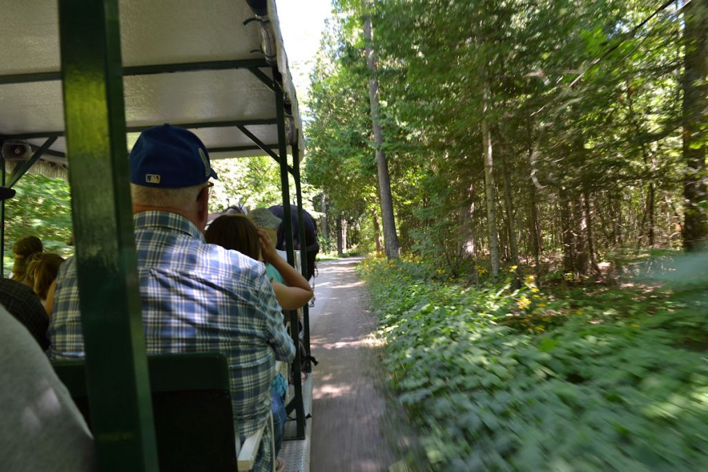
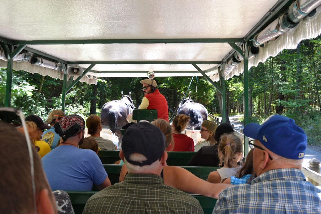
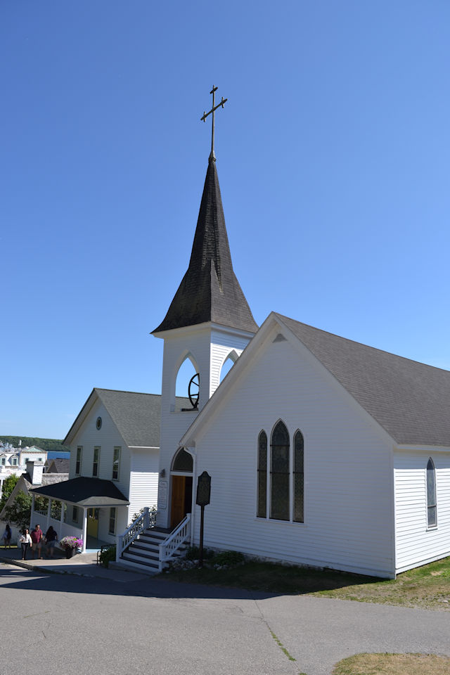
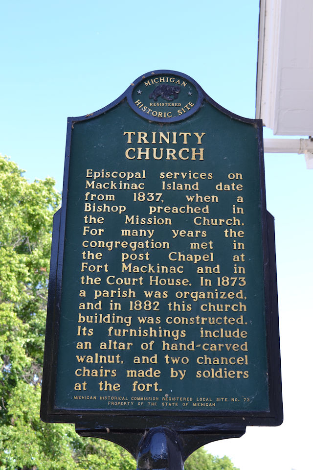
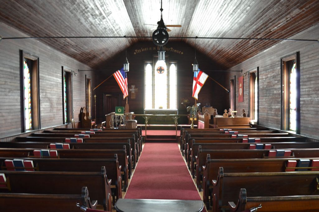
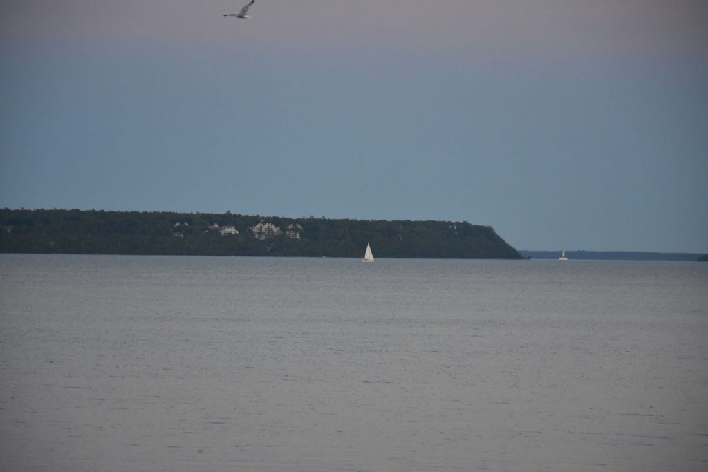
They also stop for a few of the main attractions.
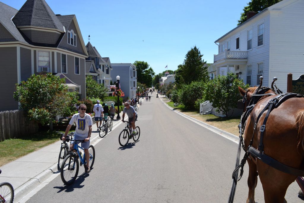
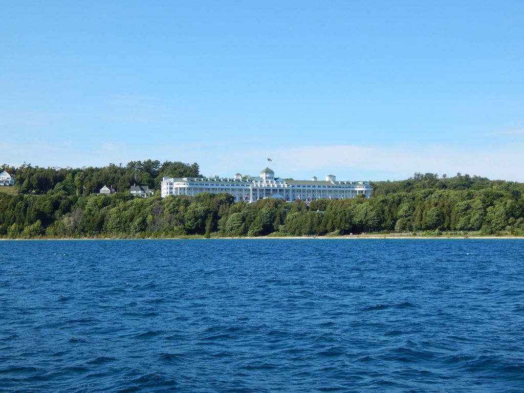
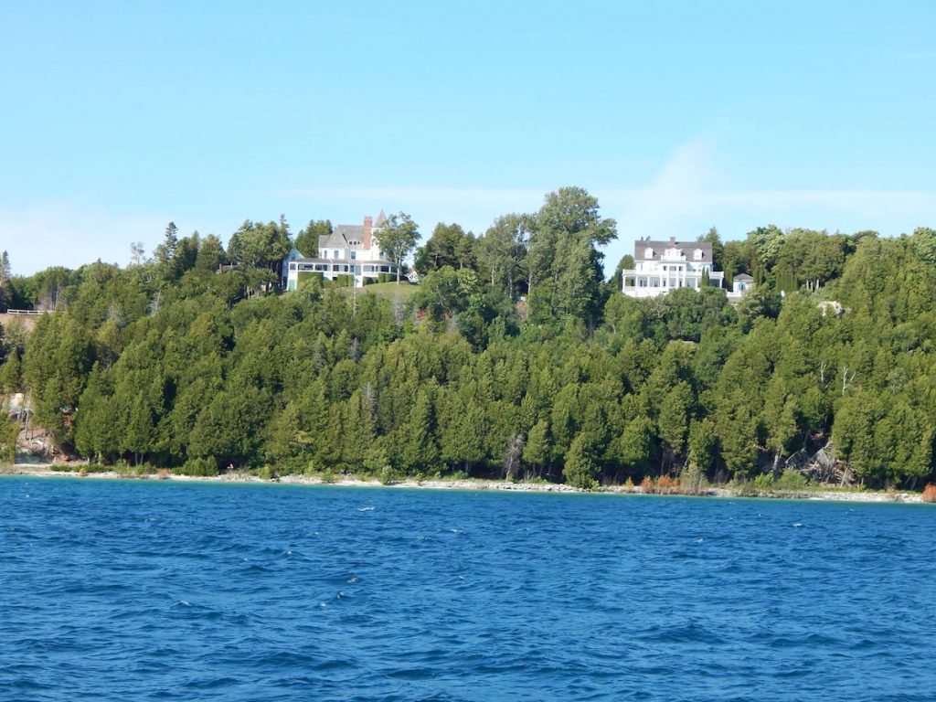
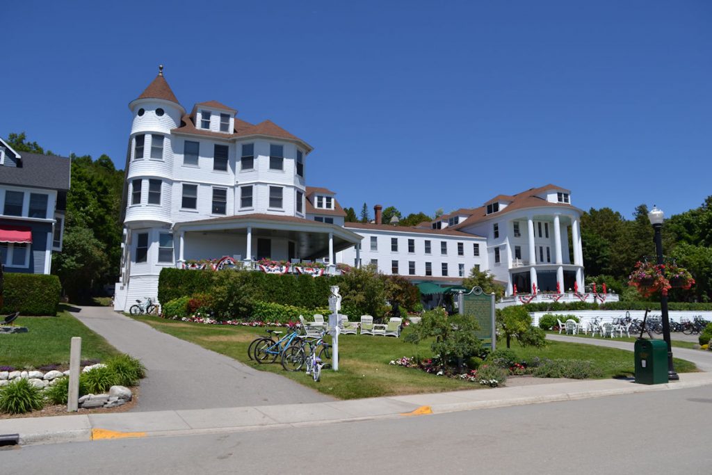
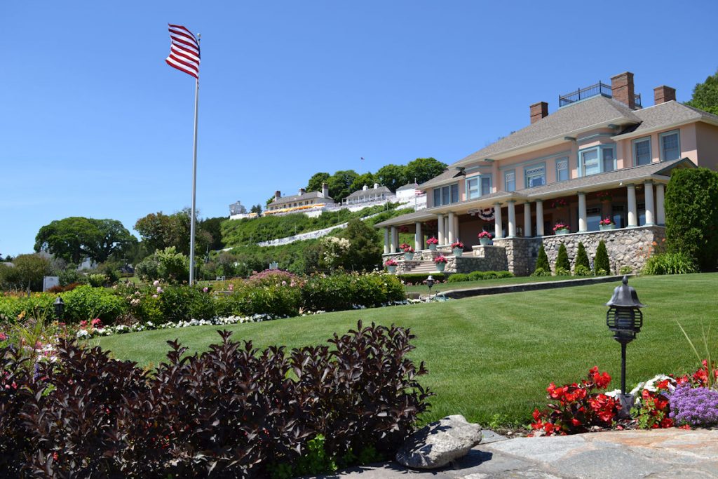
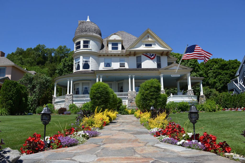
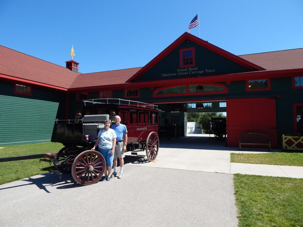
Here, we are heading up the hill through the residential area toward the Grand Hotel.
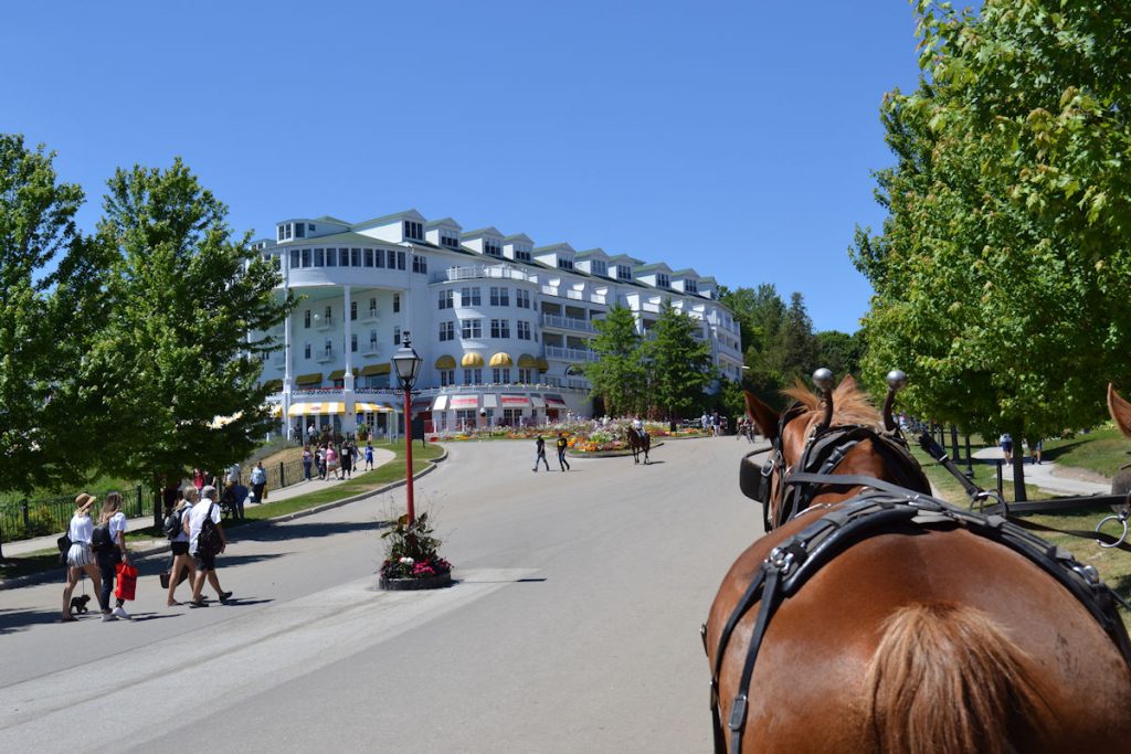
Some of you may remember this from the movie “Somewhere In Time” with Christopher Reeve and Jane Seymour. (1980)
Fewer will remember it from “This Time For Keeps” with Jimmy Durante and Esther Williams. (1947)
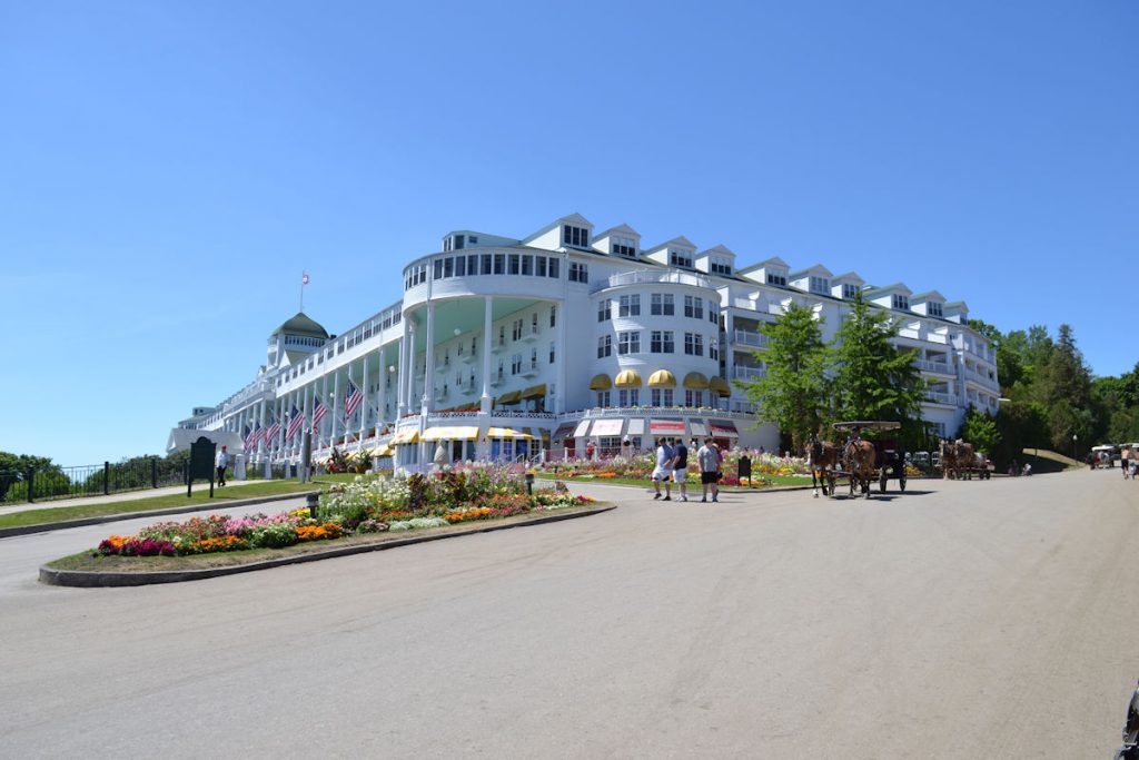
For more information and history:
https://www.grandhotel.com/
https://en.wikipedia.org/wiki/Grand_Hotel_(Mackinac_Island)

Over the hills and through the woods………..
We snacked on it that night and driving the next day. It was great!
Twenty minutes later, we were back on the mainland at St Ignace.
We checked into our hotel, the Quality Inn Lakefront, facing Lake Huron.
The clerk told us about a casino with a buffet up the road. We’ve had several great buffets at casinos before, so that’s where we headed.
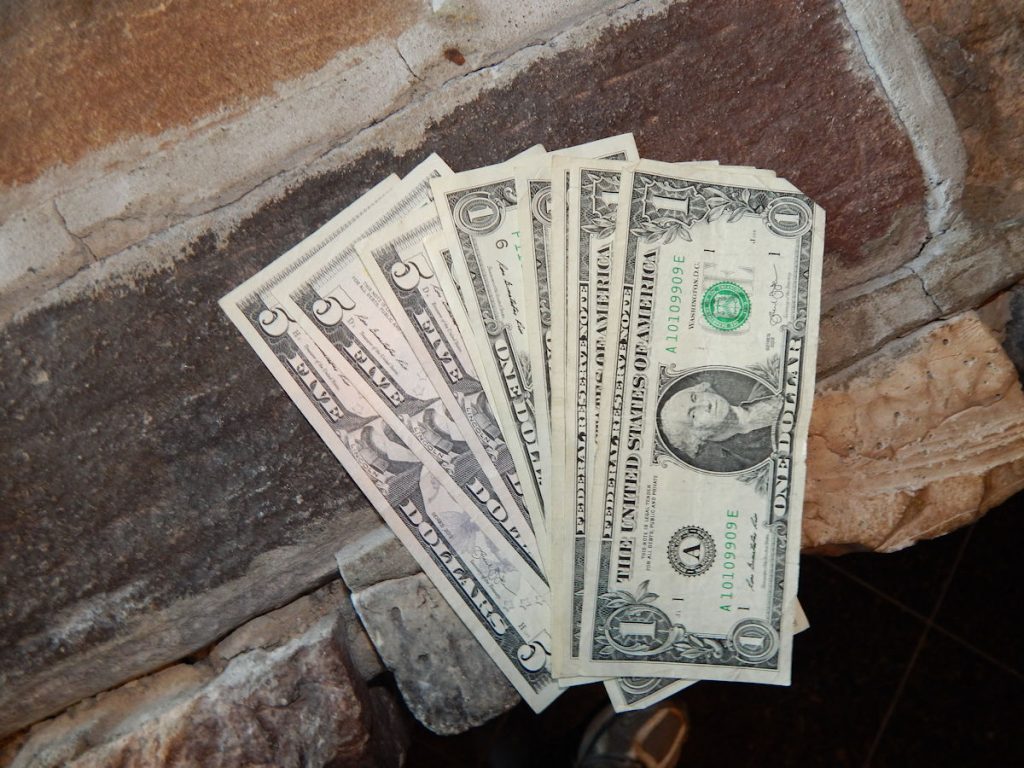
Beth and I combined won $20, which paid for half of the buffet bill. Whoo-Hoo!
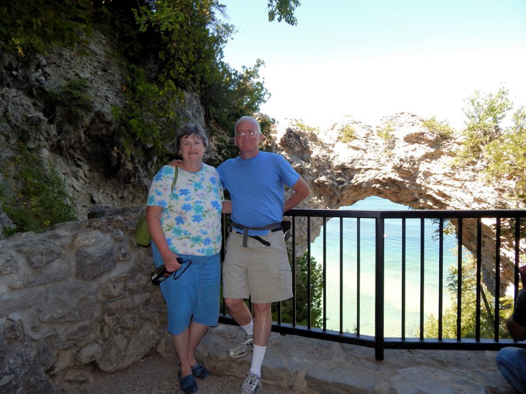
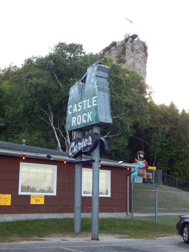
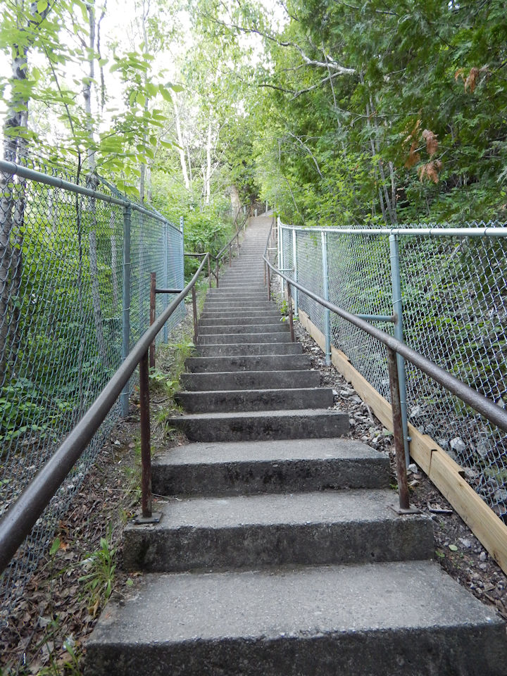
On the way back to the room, we stopped at Castle Rock, where they have a long staircase up the side of the rock to the overlook.
It was closing in just a few minutes, and so I ran up to the top as quickly as I could, took a few photos, and ran back down so I wouldn’t get locked in.
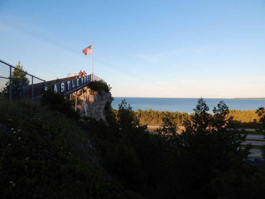
SPOILER ALERT: I made it down in time. LOL
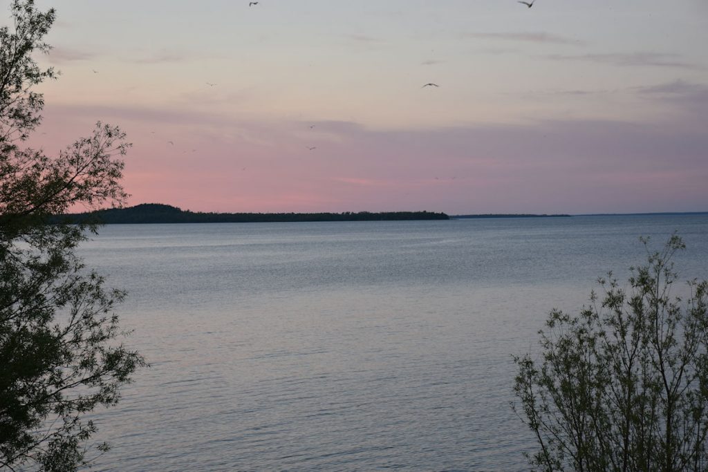
Nice view of Lake Huron.
Sault St. Marie and Ontario
Sunday
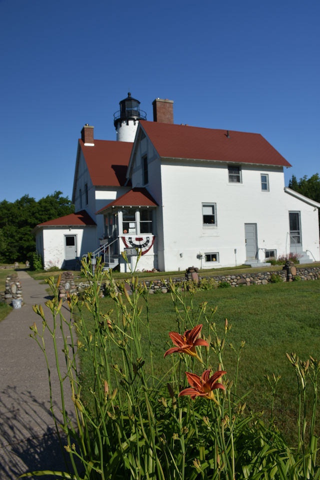
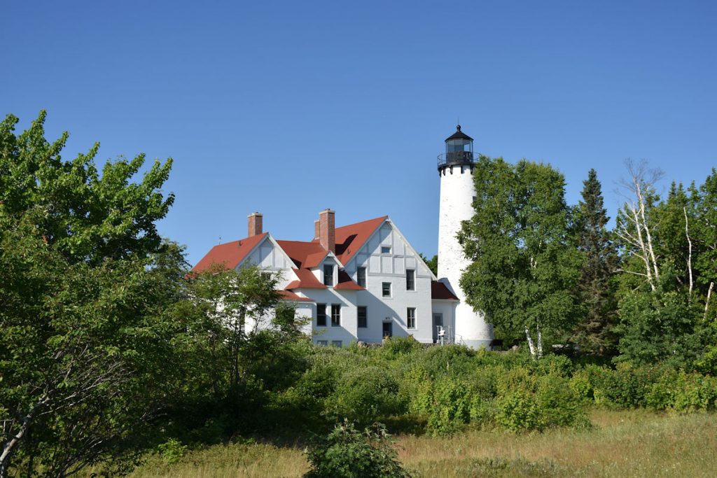
Before reaching Sault St. Marie and crossing into Canada, we made a slight detour west to the Point Iroquois Lighthouse at Brimley State Park.
Many signs in people’s front yards along the road let us know we were in Native American land.
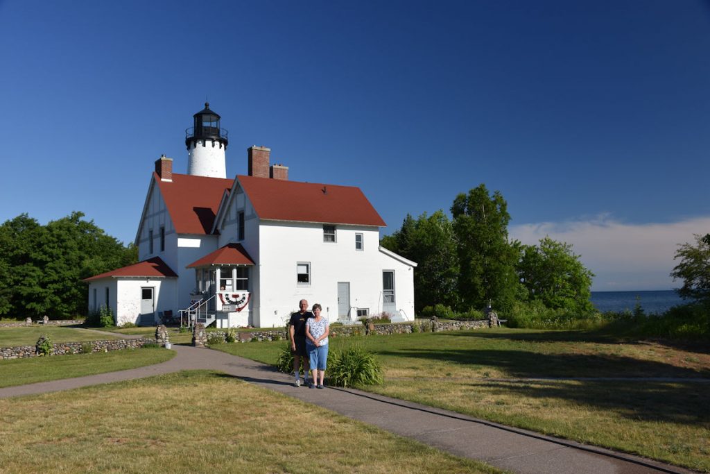
From Wikipedia: https://en.wikipedia.org/wiki/Point_Iroquois_Light
In 1870, after the first lighthouse and keepers’ quarters building were torn down. the second and current Point Iroquois Light was constructed, this time at an estimated cost of $18,000. The present Cape Cod Style white brick lighthouse was built and ran continuously for 93 years, guiding ships in and out of the Soo Locks. It has a 65-foot (20 m) tower height. The station was deactivated in 1962, replaced by the Canadian operated Gros Cap Reefs Light, an unmanned buoy-type beacon in the St. Mary’s River channel.
nice boardwalk they have set up along the shore and wetlands.
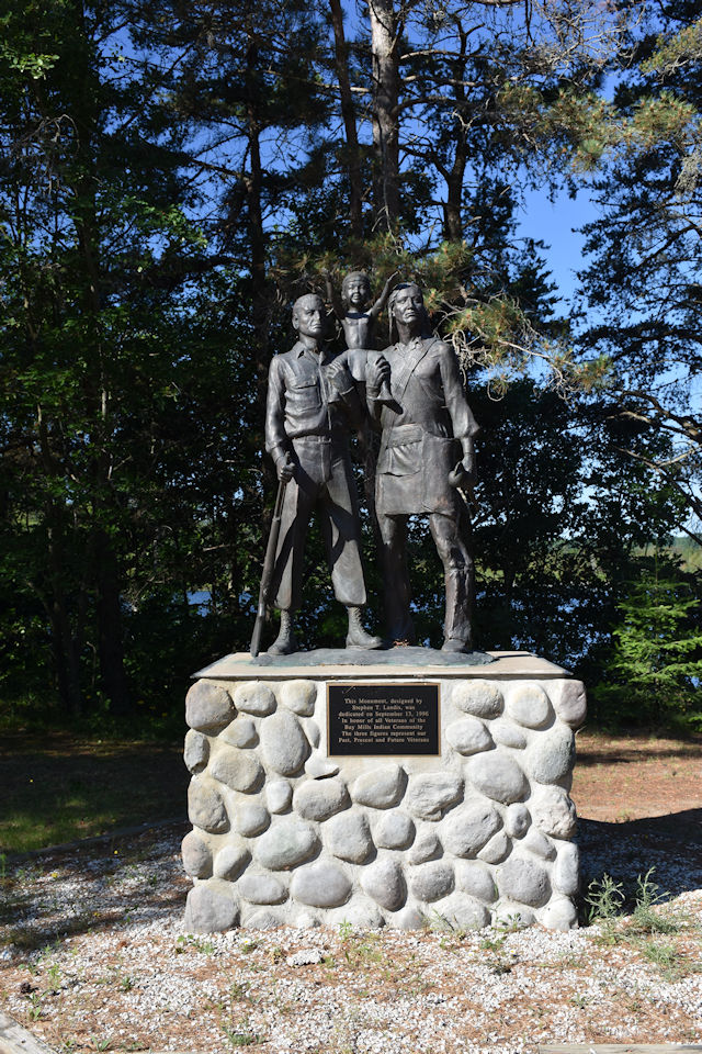
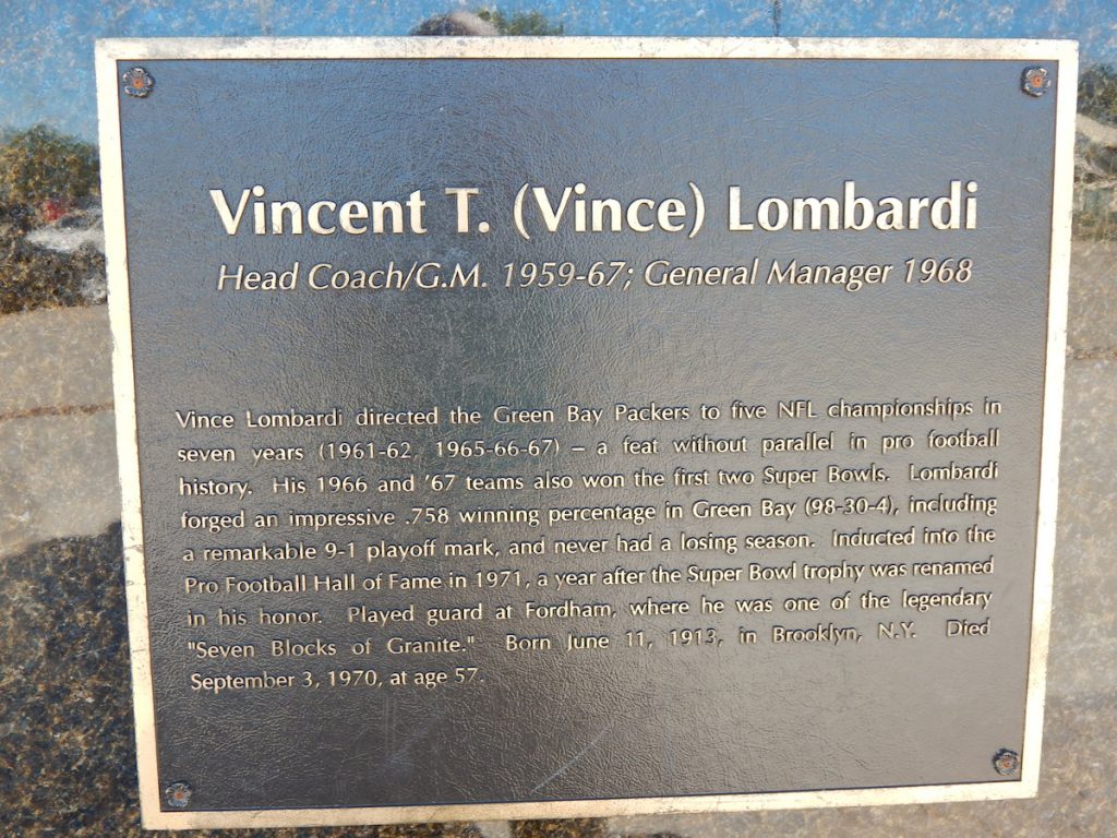
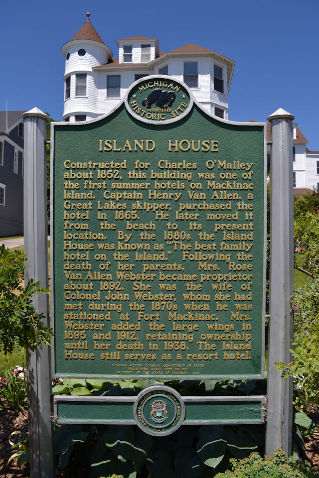
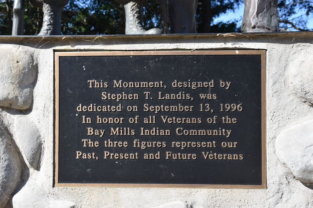
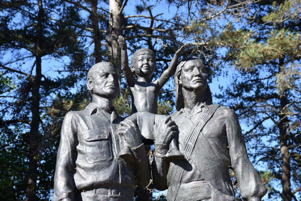
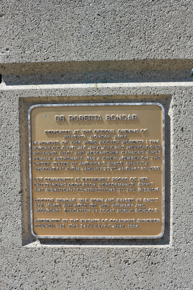
(see plaque photo below)
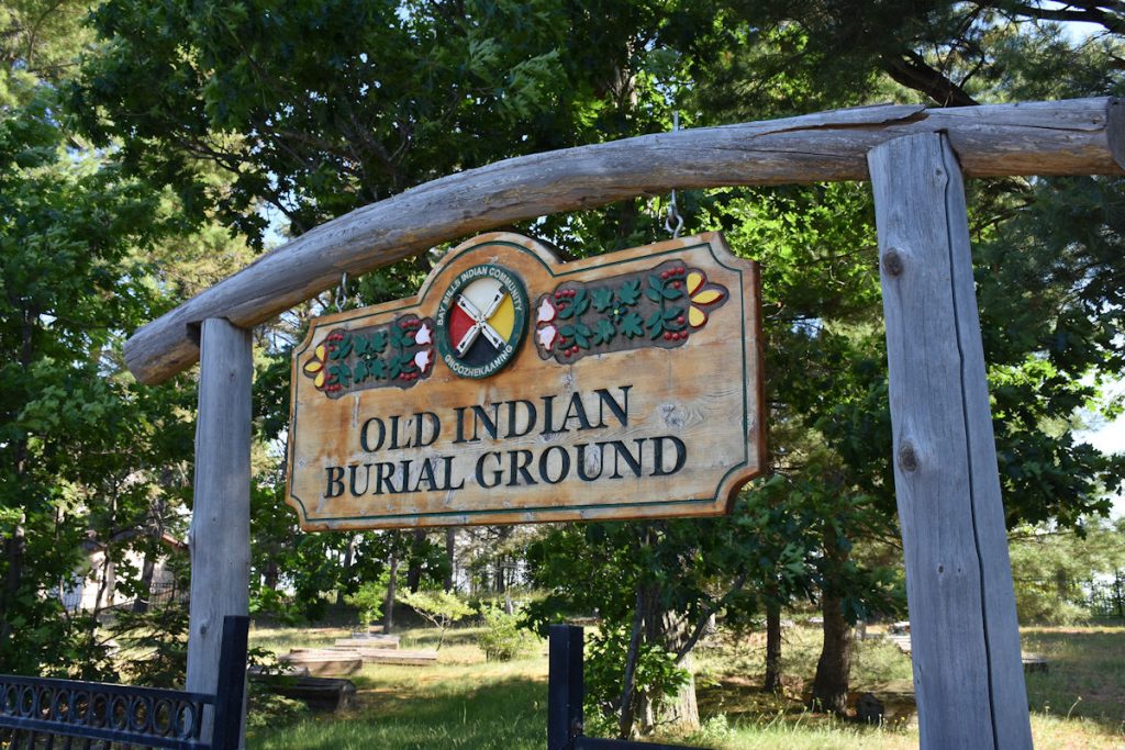
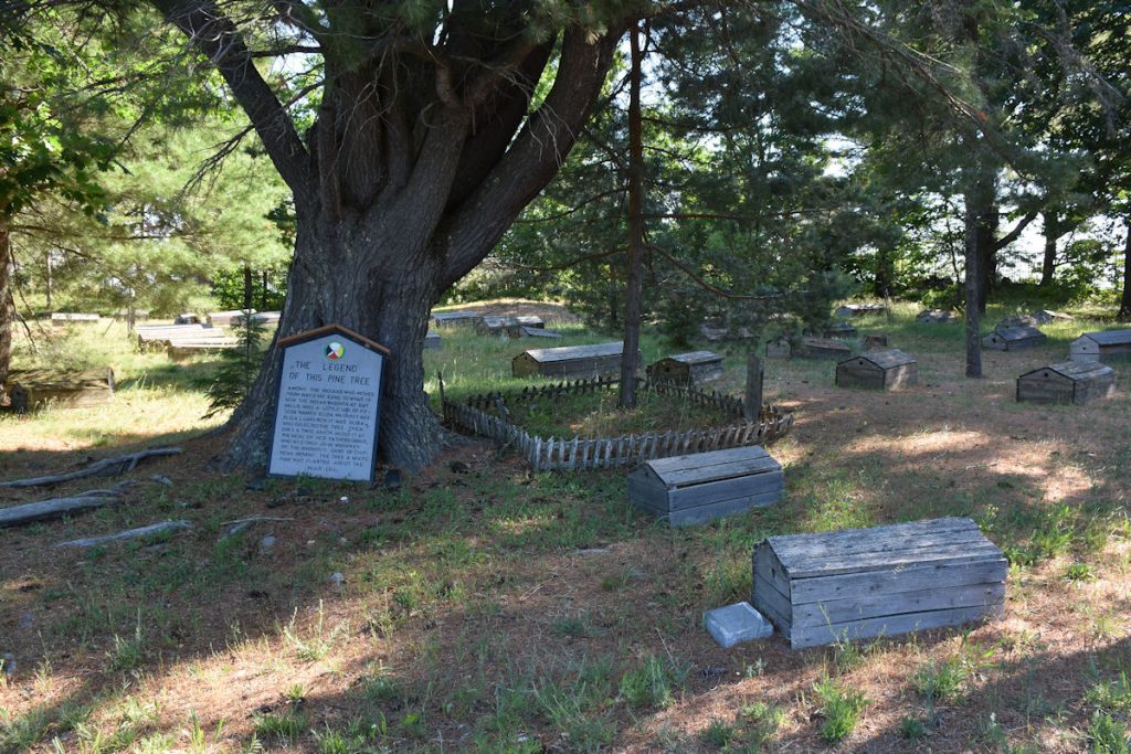
Spirit Houses were built of birch or elm bark and placed over the graves.
Besides protecting the grave, they held tools and resources the dead would need to sustain them on their trip to the land of the spirits.
Next stop – Sault St. Marie and the Canada border. Just 20 miles to go.
Hard to tell from this photo, but it is very high up.
The Canadian border agent was not happy to be working on a Sunday morning.
I handed him my passport and driver’s license, and he handed me back the license with a gruff, “I don’t need this.” OK.
Where you going? How long you staying? Any guns or alcohol? OK, go on.
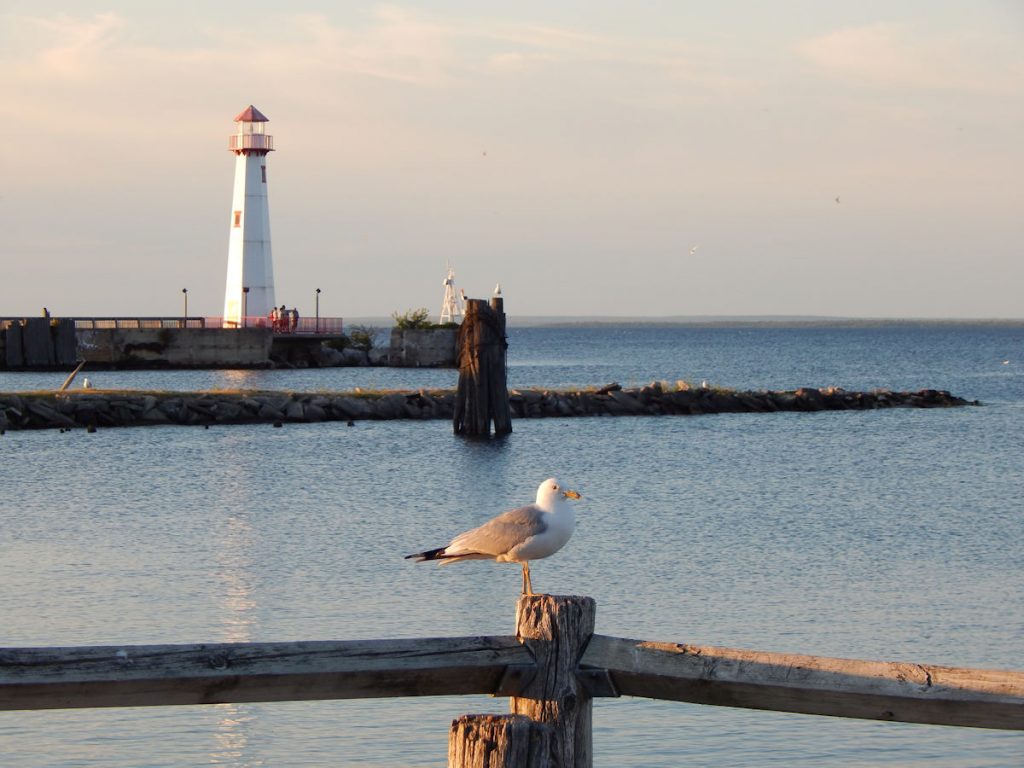
We wanted to stop and walk around the Canal Park downtown.
“Cannonshot”, one of the readers/riders on the ADV motorcycle forum had told me about several interesting spots to see in Ontario.
This was one of them.
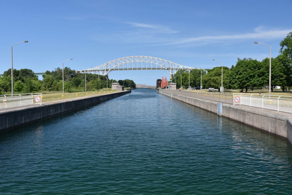
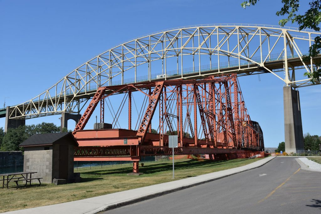
What’s an emergency swing dam? Read on.
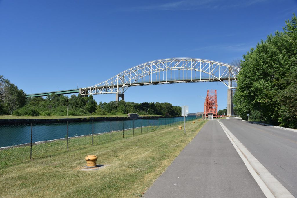
There are a series of locks along the canal where ships are lowered from Lake Superior level to Lake Michigan, or raised in the opposite direction.
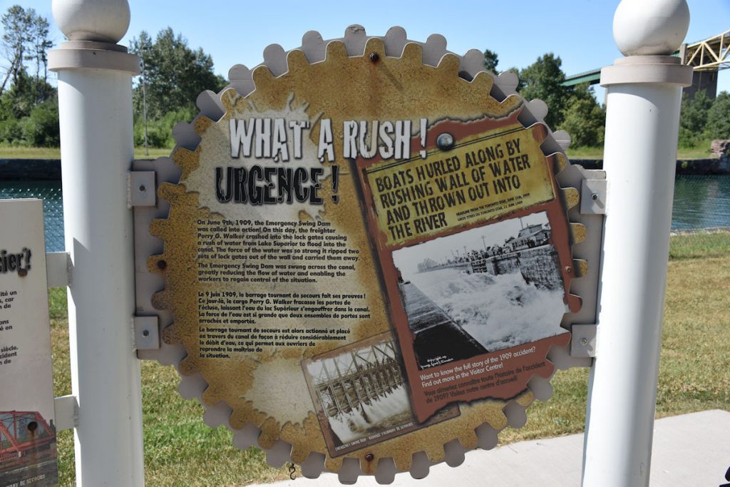
On June 9, 1909, a ship rammed into one of the locks, creating a torrent of water through the canal.
All of the water from Lake Superior was draining into Lake Michigan, which sits lower.
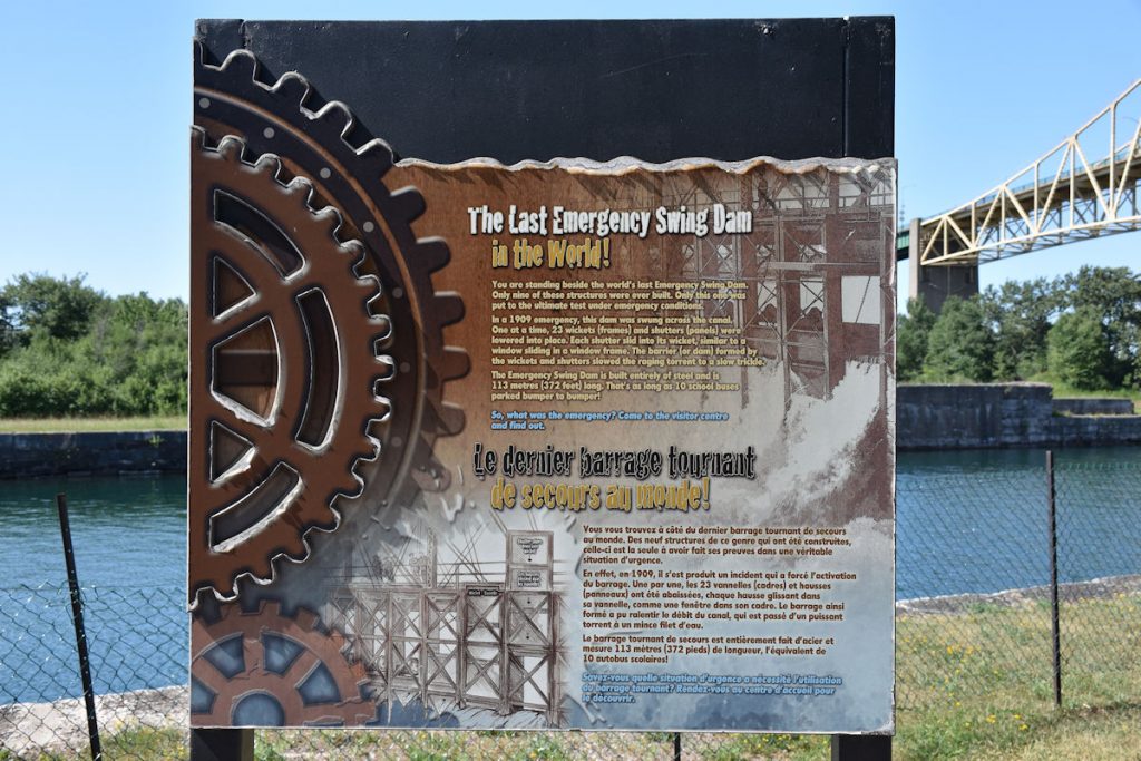
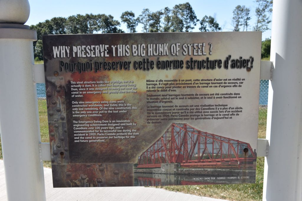
Only this one was put to the ultimate test under emergency conditions.
In a 1909 emergency, this dam was swung across the canal. One at a time, 23 wickets (frames) and shutters (panels) were lowered into place. Each shutter slid into its wicket, similar to a window sliding in a window frame. The barrier (or dam) formed by the wickets and shutters slowed the raging torrent to a trickle.
The emergency swinging dam is built entirely of steel and is 113 meters (372 feet) long.
That’s as long as 10 school buses parked bumper to bumper.
(See plaque below)
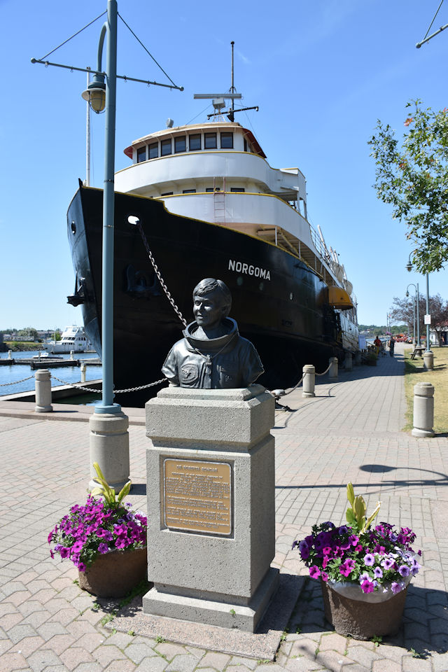
More information: https://en.wikipedia.org/wiki/MS_Norgoma
Since it was getting to be late morning and we still had over 200 miles to go,
we decided to head out of Sault St. Marie and go east towards Sudbury.
About an hour east of Sault St. Marie is the island of St. Joseph.
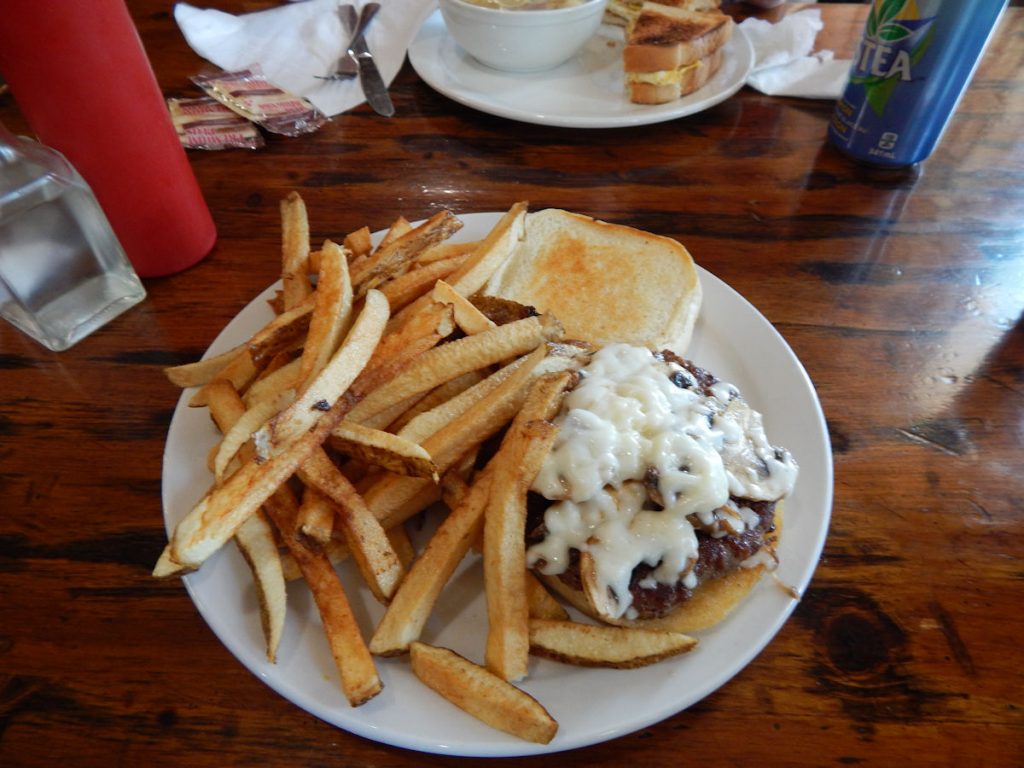
My ADV forum friend “Cannonshot” had mentioned a diner there, so we had to check it out. Glad we did!
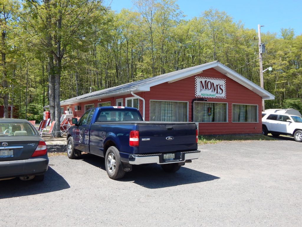
We love exploring for diners, and enjoy them much more than chain restaurants.
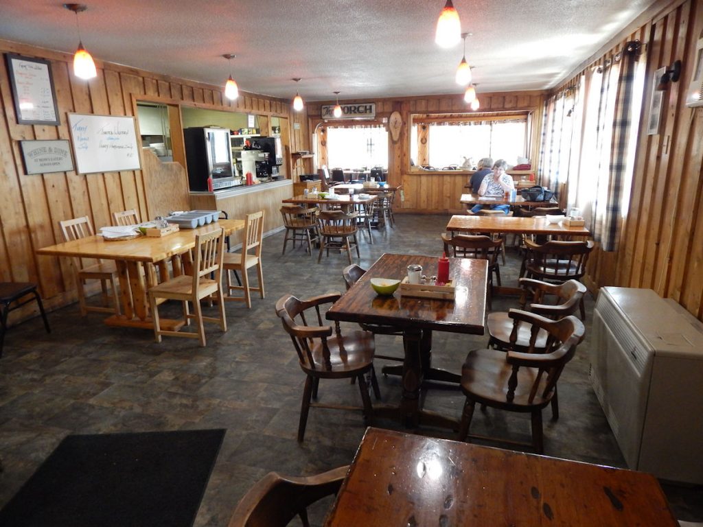
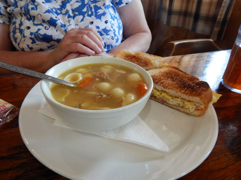
Definitely home-made. And delicious.
Then it was back on the road to Sudbury and on to Parry Sound.
With the slow speed limits (80km/hr = 48 MPH) it would be about 7pm until we get to tonight’s hotel.
Keep ‘er movin’.
We did not stop around Sudbury, but it is an interesting region. Lots of mining. Apparently, a very large meteor struck here a gazillion years ago,
so there are certain minerals that are not commonly found elsewhere. They found pieces of the meteor 500 miles away in Minnesota!!
Interesting reading on the region: https://en.wikipedia.org/wiki/Sudbury_Basin
Parry Sound is about 150 miles south of Sudbury.
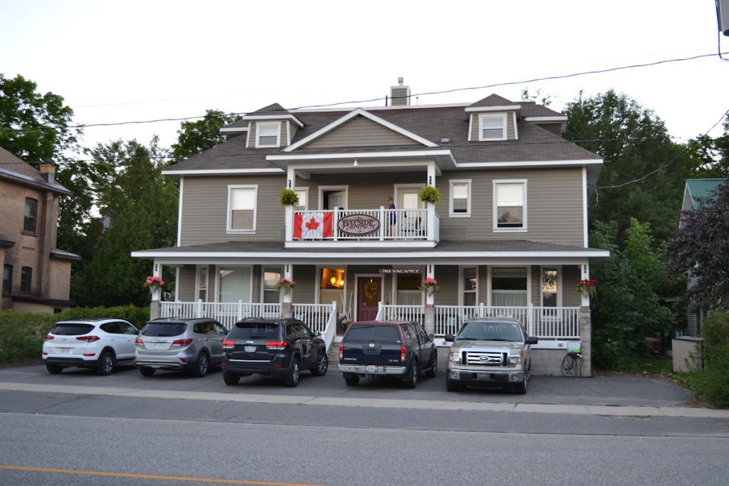
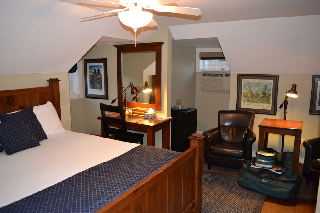
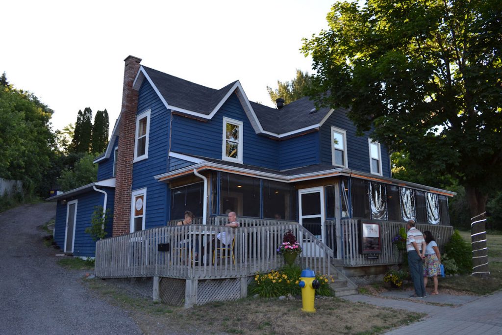
It’s an old house that has been completely renovated with 6 big rooms, each with private bath.
It was also within walking distance to the harbor and restaurants.
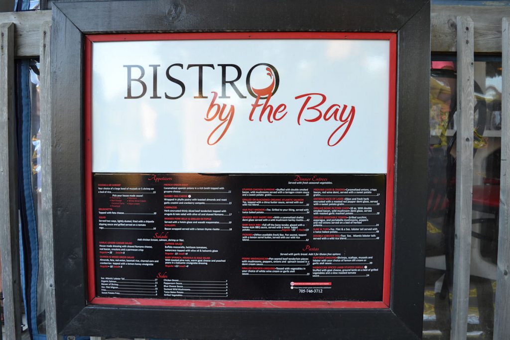
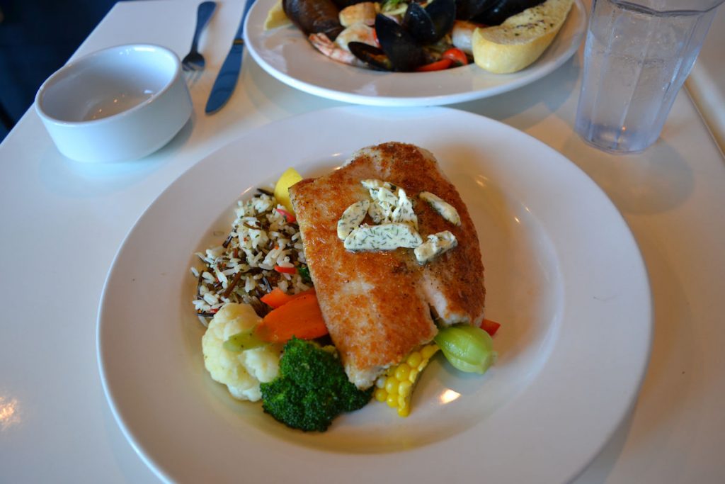
Time to go eat. We walked down to the harbor.
Plus, it’s vacation. We’ll splurge on one nice meal.

The end of a long, but interesting day.
Parry Sound to Hamilton, Ontario
Monday
Today we are going to travel south through lake country and farm country. Our destination is Hamilton, a large town just south of Toronto.
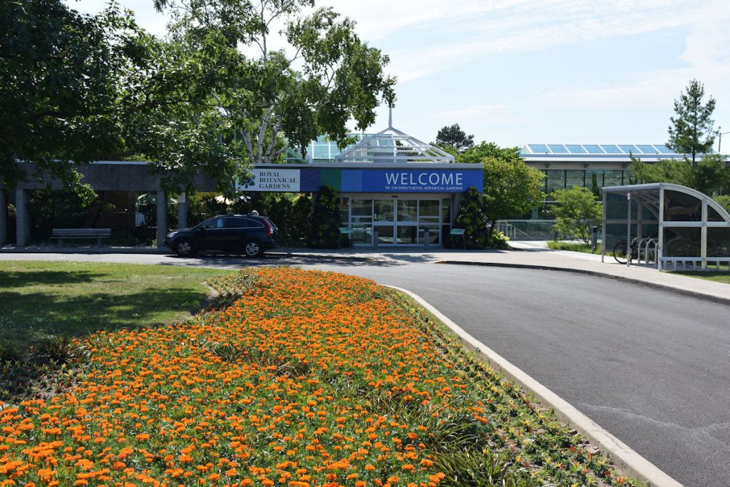
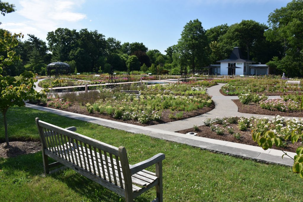
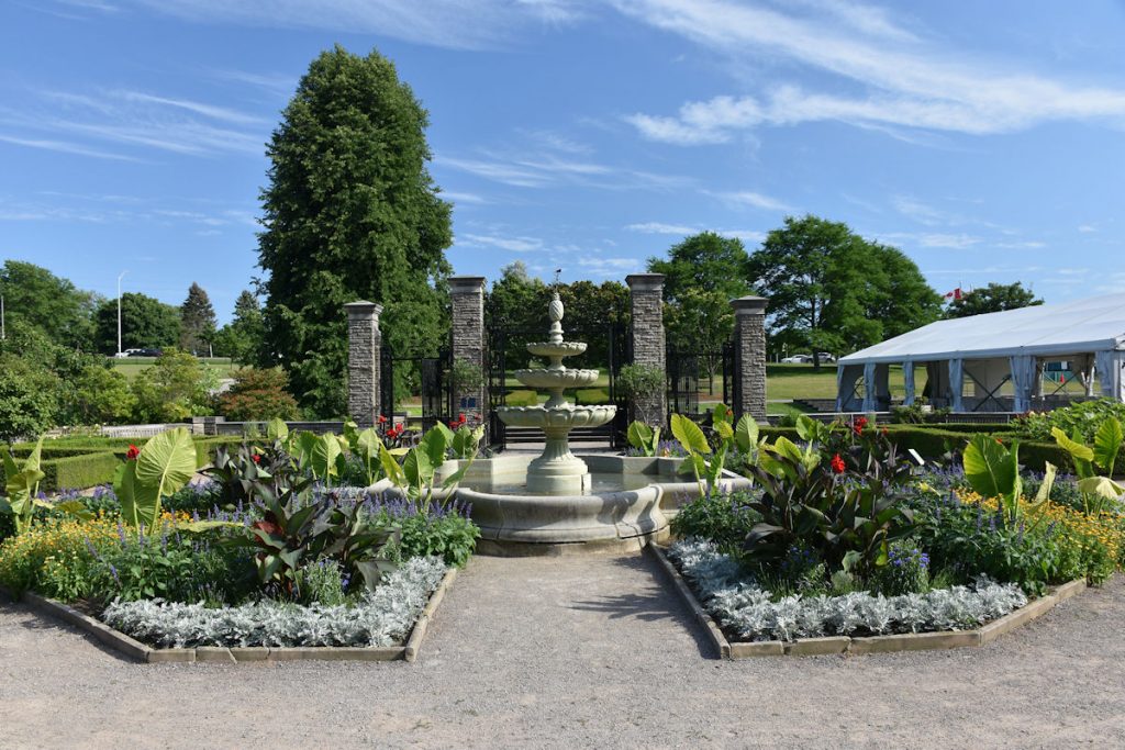
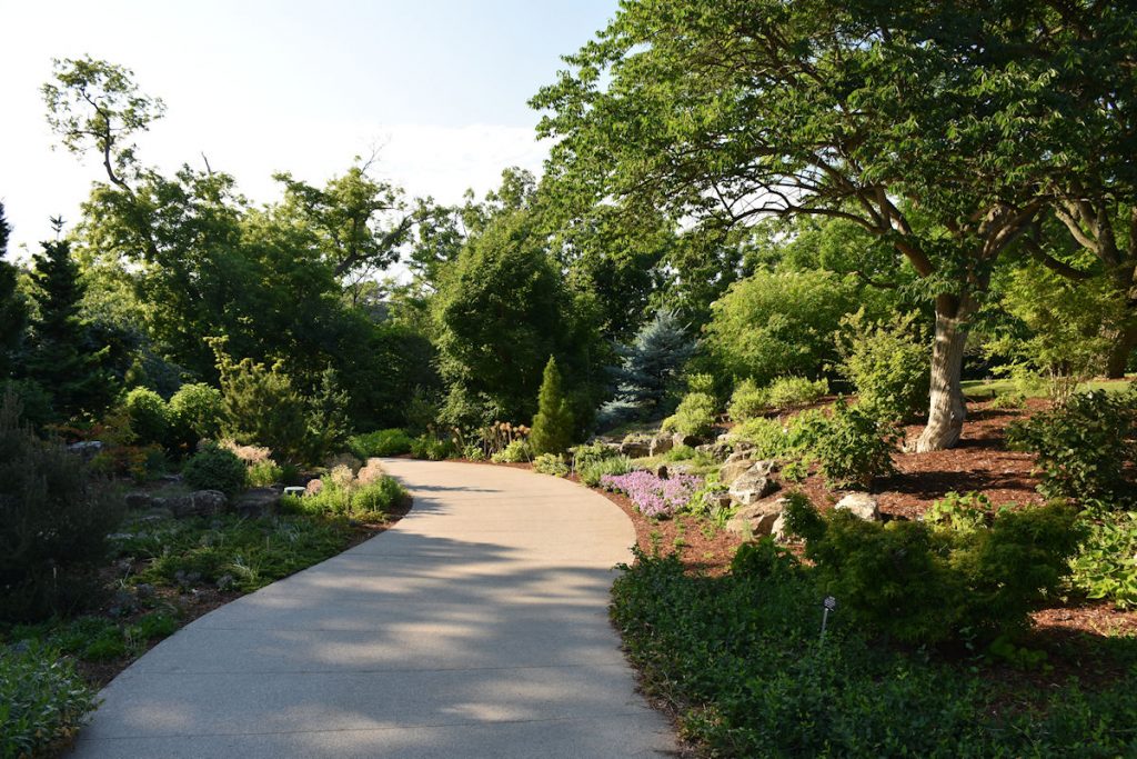
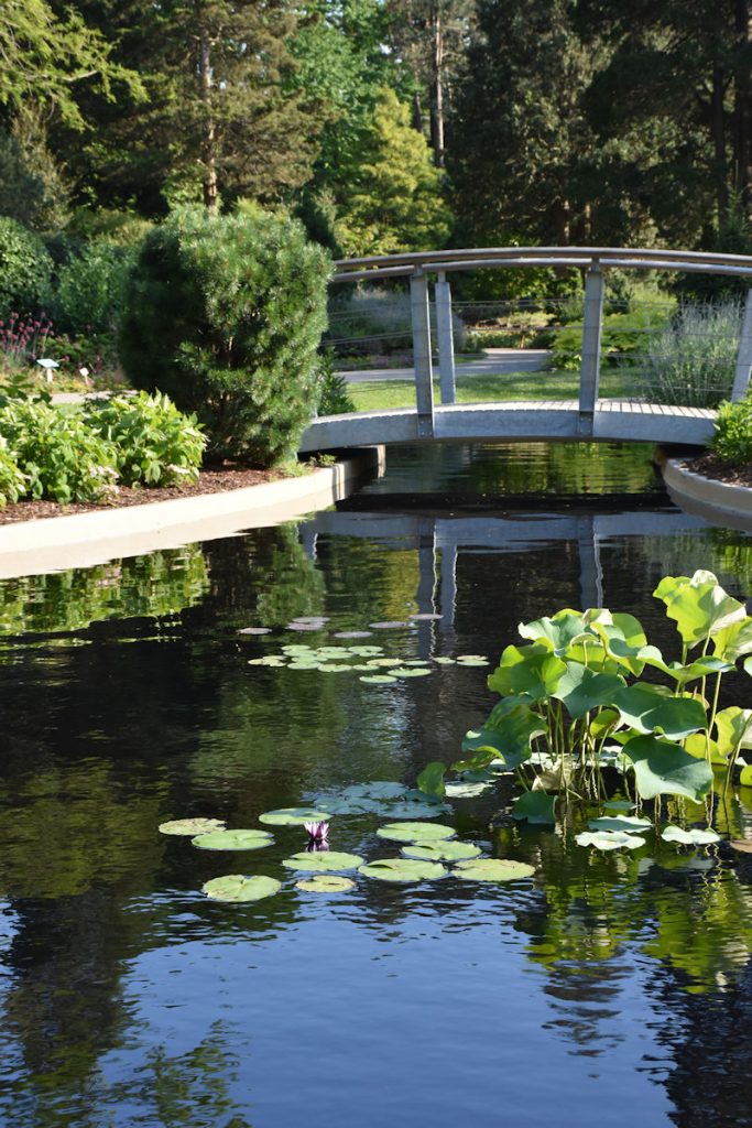
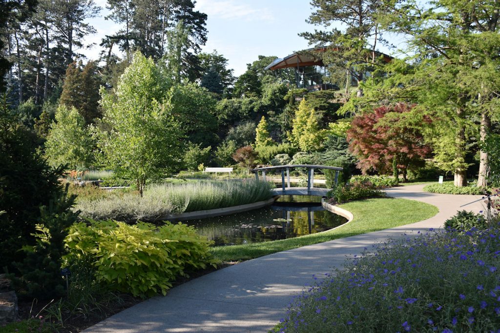
Looking on the maps, we saw the Royal Botanical Gardens was near our hotel.
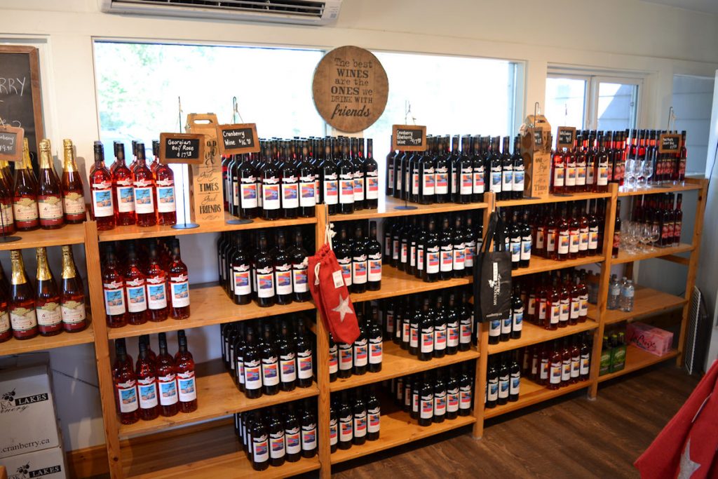
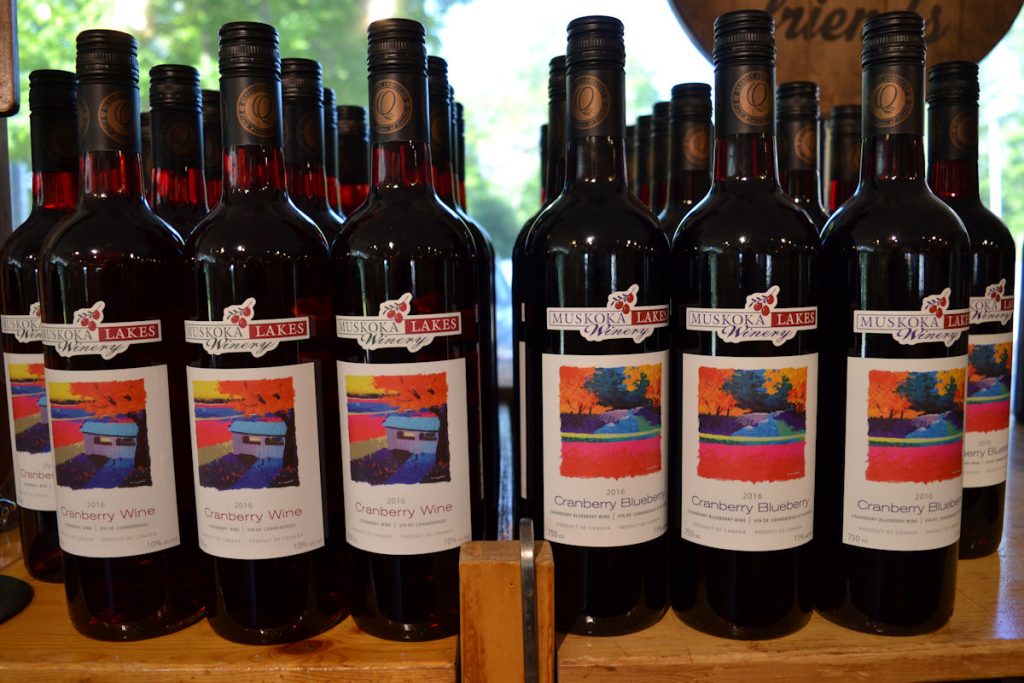
But first, my ADV friend had mentioned a cranberry bog and wintery nearby.
Let’s go!
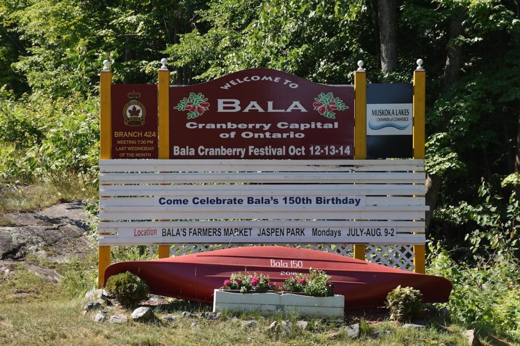
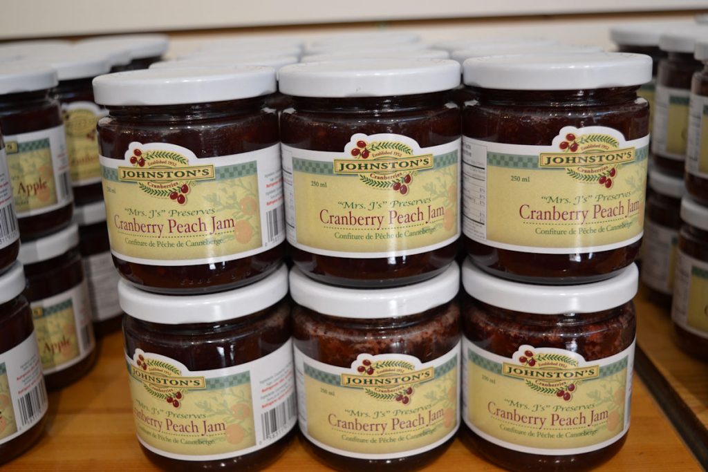
Cranberry Capital of Ontario.
Beth and I are doomed from both directions on this one. LOL
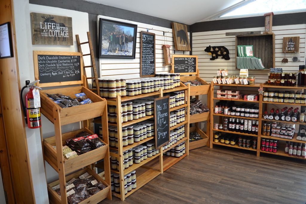
The limit on bringing back wine to the USA is 2 bottles.
Soon, we were on the road south so we could get to the Royal Botanical Gardens by mid-afternoon.
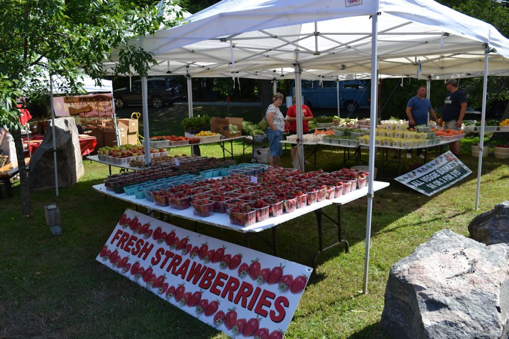
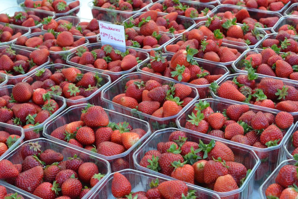
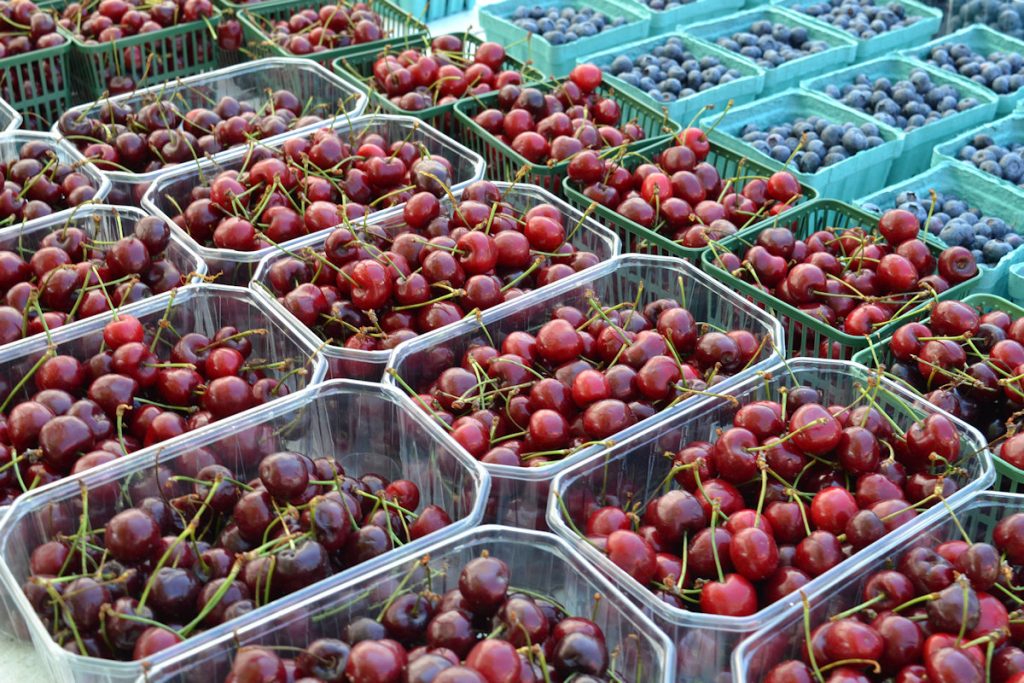
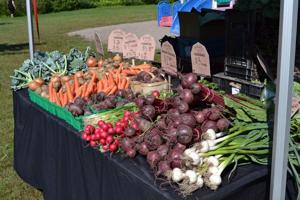
As we were leaving town, though, we came upon the local farmers’ market. We had to stop.
Now, it’s time to head south.
All we bought was a bag of kettle corn. (Which took an hour to vacuum up when we got home)
Except for the ridiculous 48 MPH speed limit.
That is, after a half hour of driving in circles. Their access roads have access roads. With no signs.
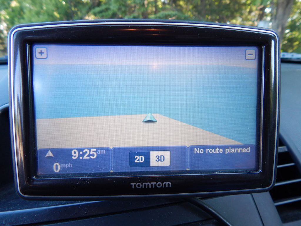
We found out the day before we left that our old GPS does not include Canada.
Oh well, we found it, and the weather is beautiful!

(See sign below)
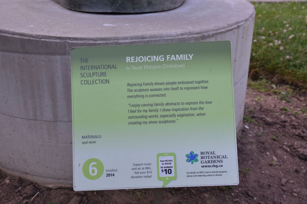
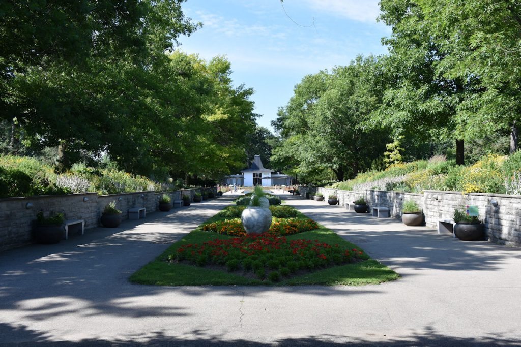
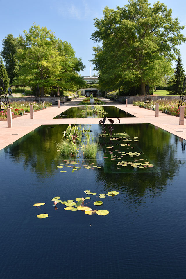
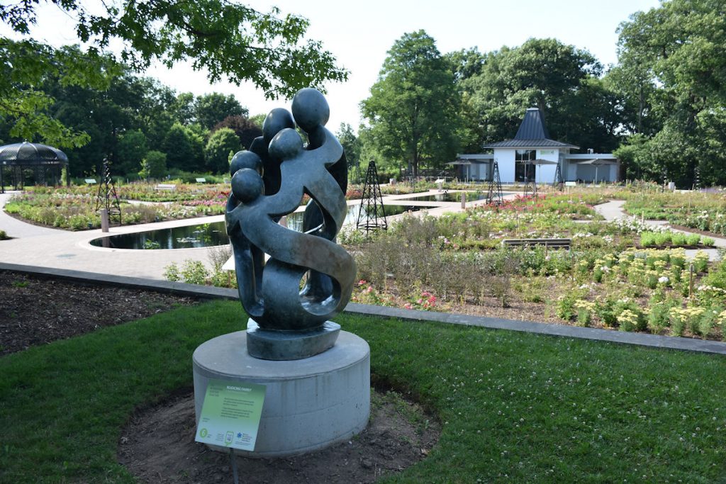
Next, we drove down the street to the Rock Garden annex – still part of the RBG.
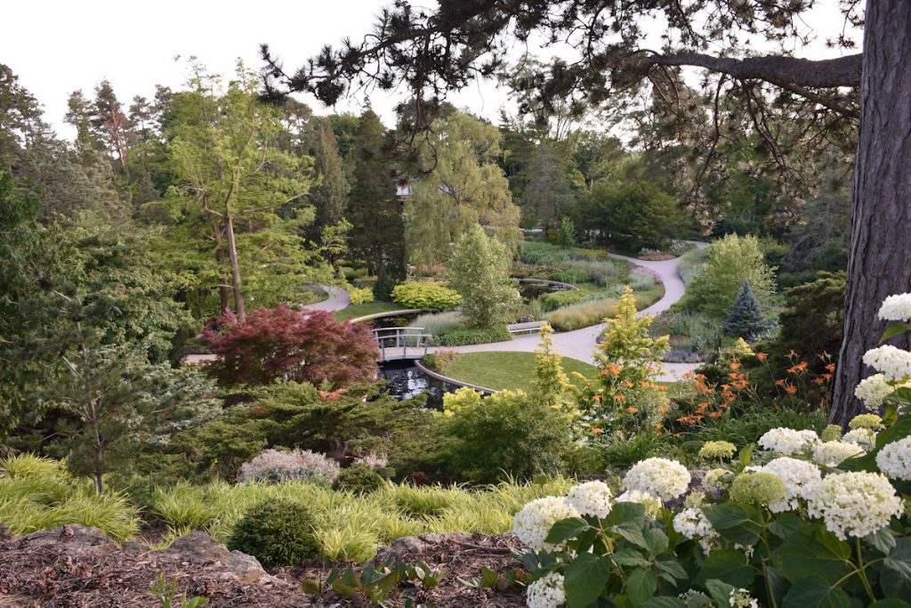
Designed with oriental theme.
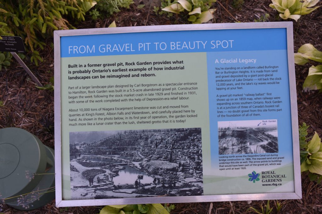
For more information: https://www.rbg.ca/
From here, it was time to go to the hotel and check in. We were tired, so we got an stone-oven pizza at the hotel and ate in the room.
Tomorrow, we head south an hour to Niagara Falls, then home.
Niagara Falls – Back To Morgantown
Tuesday
Our final day on this trip. It’s an hour south to Niagara Falls, then another 250 miles south to home.
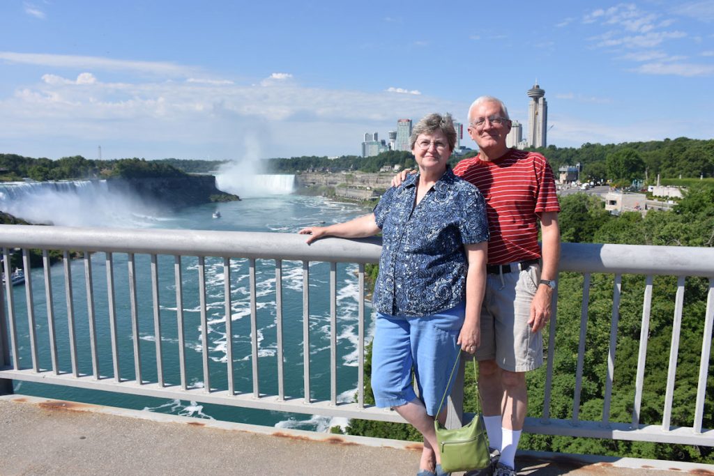
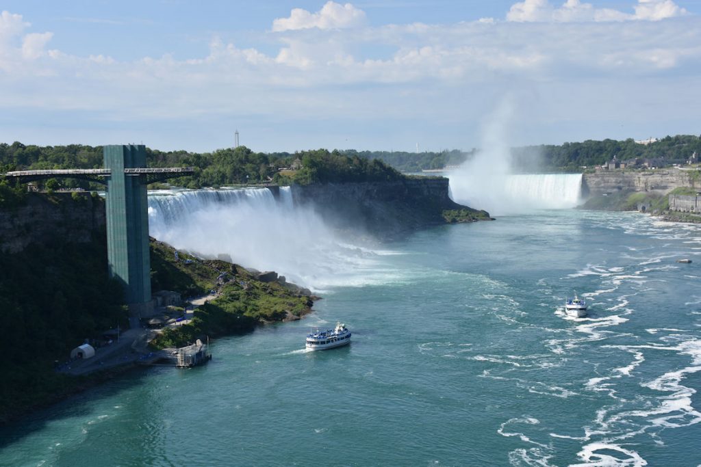
We stopped at Niagara Falls a couple of years ago, so we decided we did not need to do the Maid of the Mist or other tours.
Today, we were just going to walk around the falls, drop a few nickels in the slots, and enjoy the fabulous buffet at Seneca Casino.
Shortly after leaving the hotel, we were treated with a view of Lake Ontario to our left.
We also passed signs for over a dozen wineries between Hamilton, Ontario and Niagara Falls. Lots of grape orchards.
We arrived at the Rainbow Bridge customs at around 8am, so the line was short. We were through in just a few minutes.
We parked (free!) at the Seneca Casino, which has a great buffet and is a short 10-minute walk to the falls.
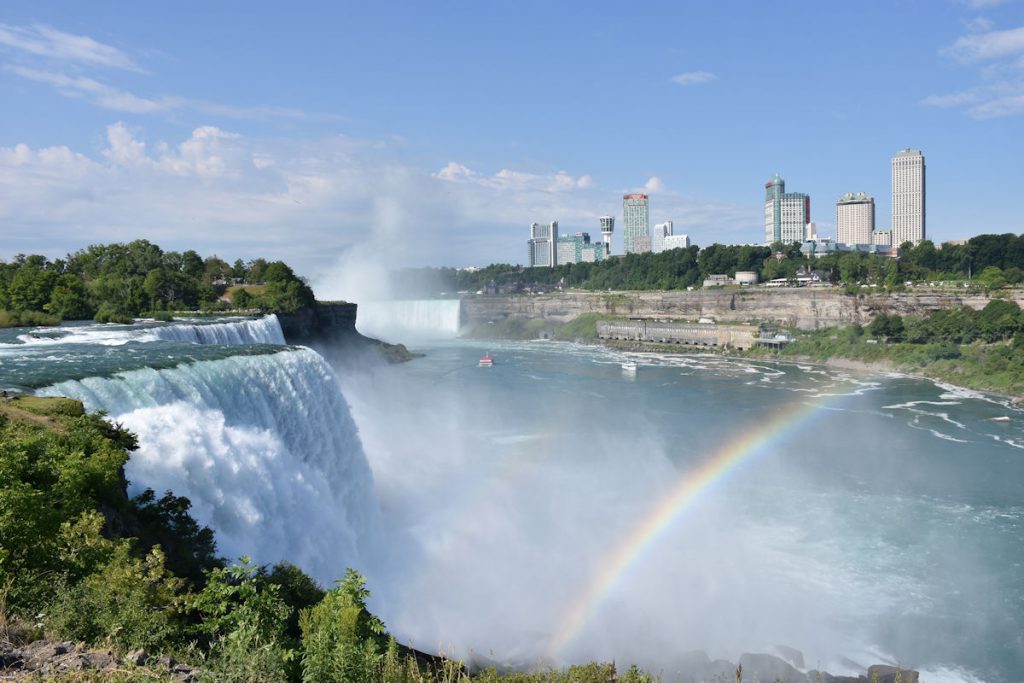
You can see a couple of the tour boats like Maid of the Mist taking passengers up close to the falls.
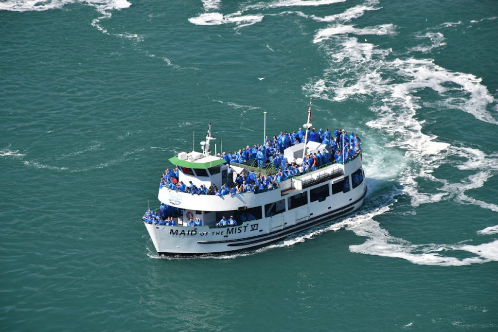
Beth and I went on our last trip, so we passed this time.
If you want to see photos of us touring the falls from that trip – http://michaelelyard.com/NewEngland2015
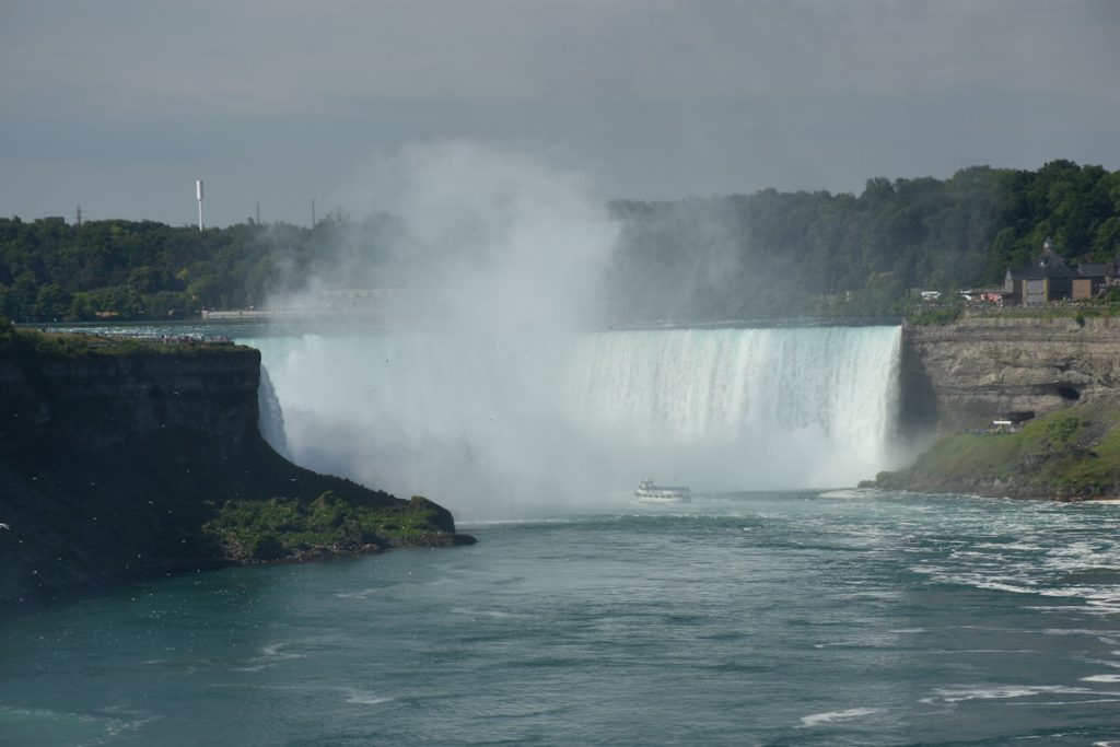
The noise at that point is incredibly loud!!!
Time for lunch at the casino, then 250 miles home to West Virginia.
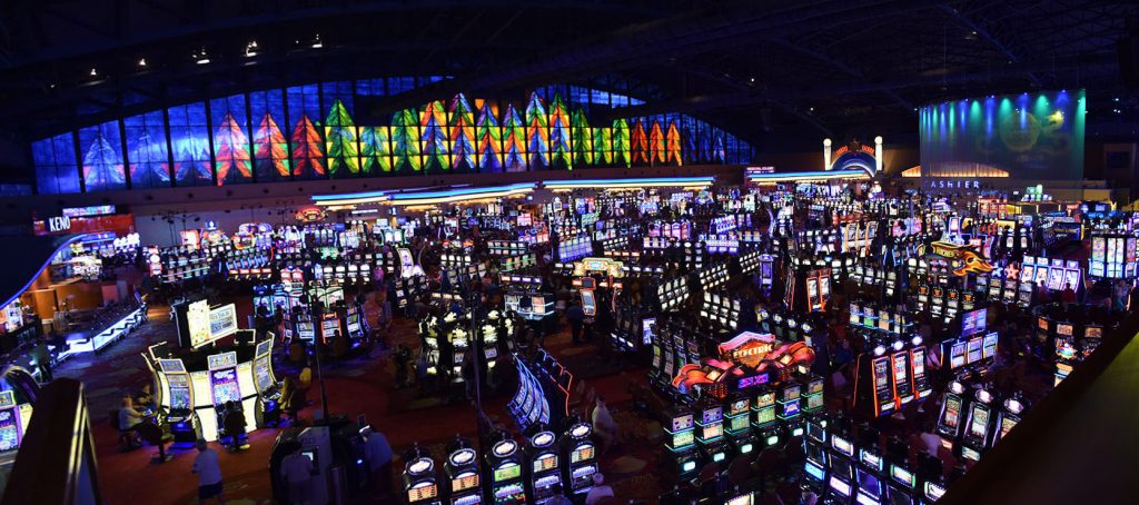
Sad to see many people addicted to this lifestyle. We played the change in our pockets and headed to the buffet.
Buffet time. We had a great meal then headed home.
After leaving the Niagara Falls area, we followed I-90 west to Erie. Along the way, we had glimpses of Lake Erie. We saw all 5 Great Lakes!!!
We arrived home about 7pm. Tired but happy we had the chance to take this trip.
Hope you enjoyed riding along with us.