
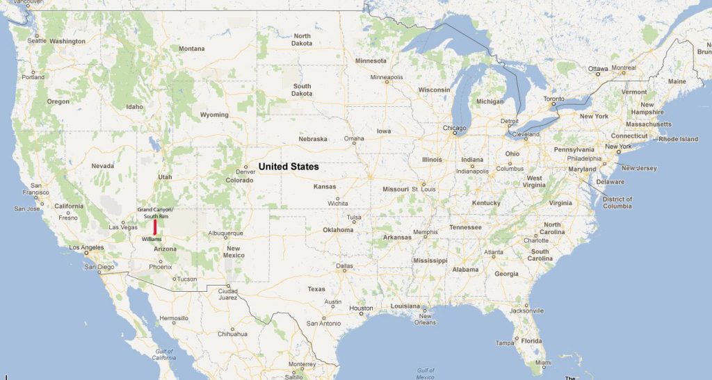
Southwest USA
Retirement Trip
September 2019
29 Days – 6,500 Miles – 19 States
7 National Parks
Several State Parks – 6,000+ Photos
1 Trillion Insects Squished by Car Windshield
From 108 Degrees to Snow
From 282 Feet Below Sea Level to 12,000+ Feet
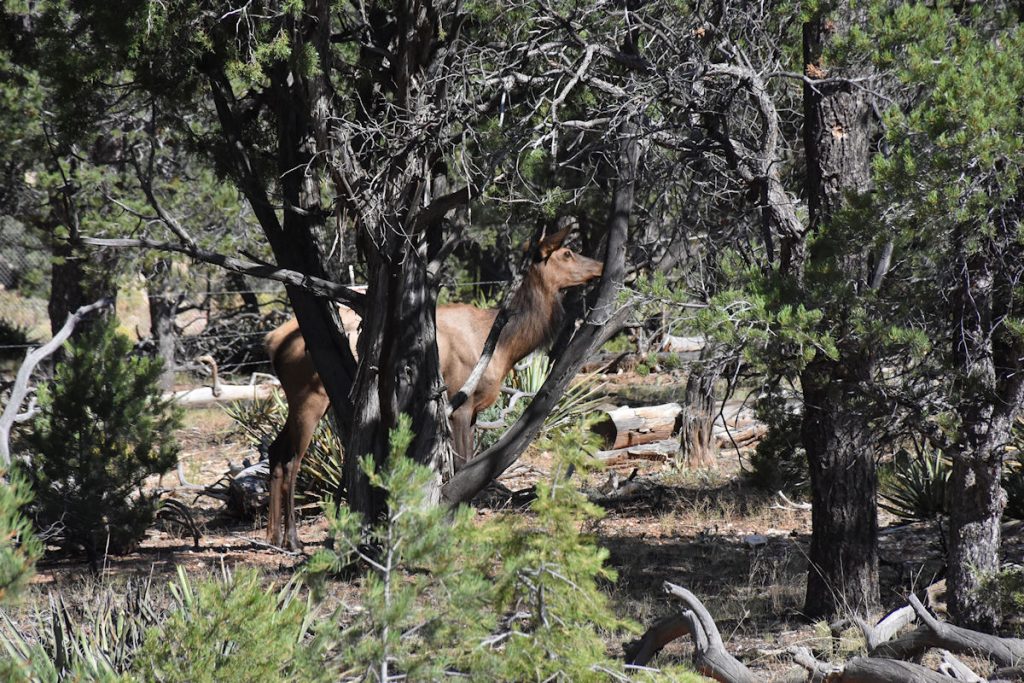
Bison, Elk, Prairie Dogs, Lizards, Wild Horses
Elvis, Aliens, John Wayne Westerns
Walking In The Footsteps of Forrest Gump
And More!
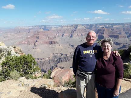
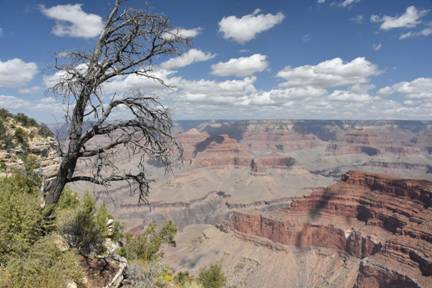
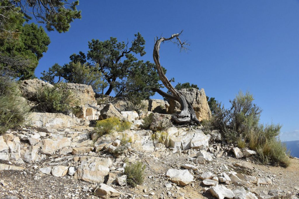
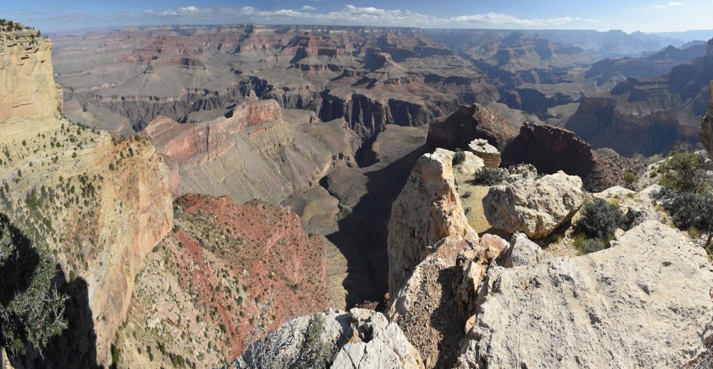
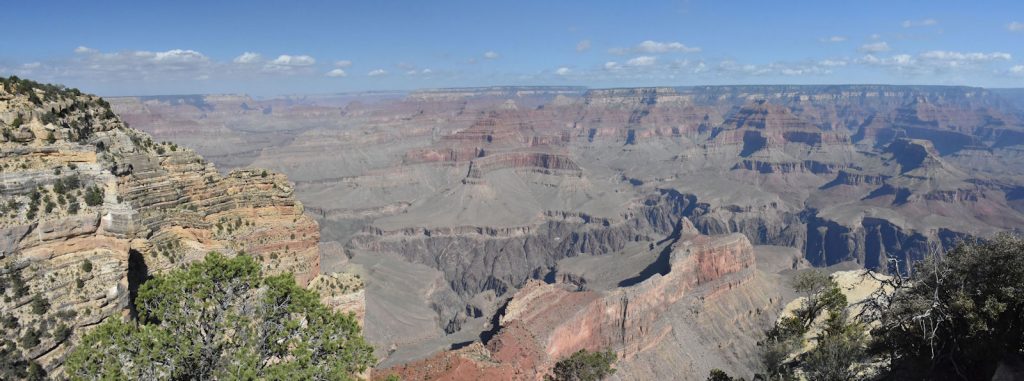
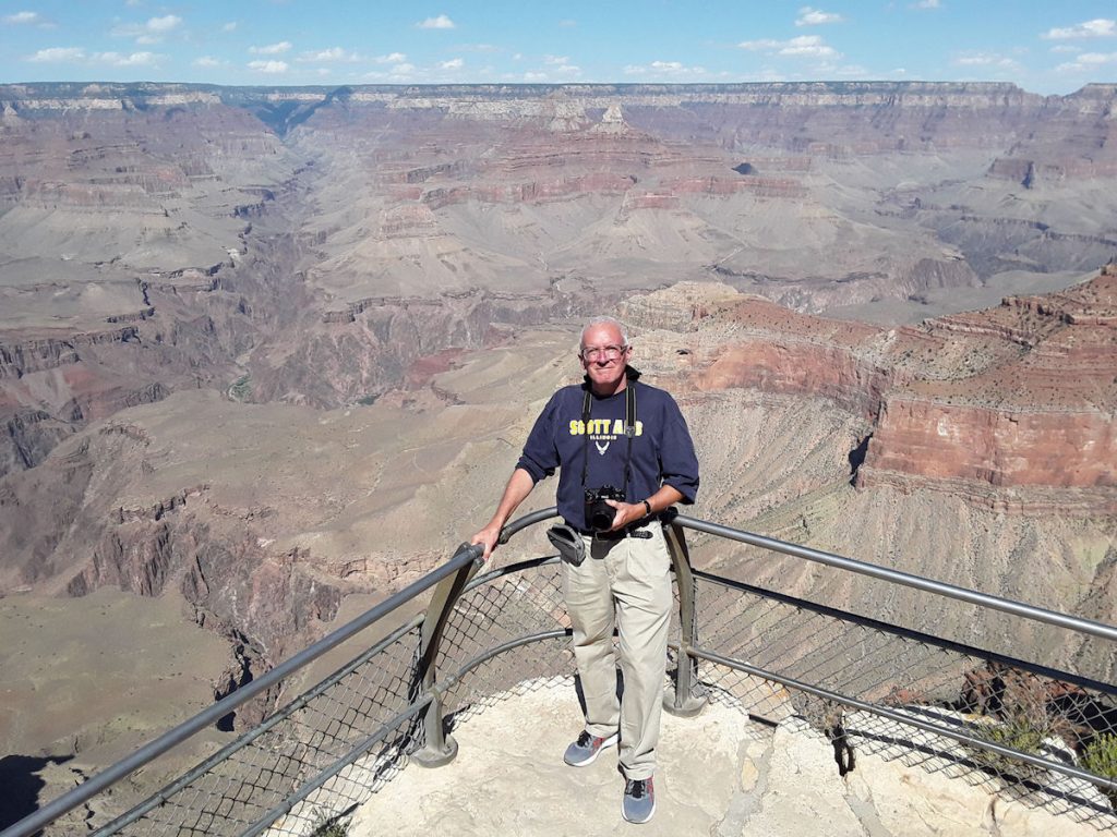
Grand Canyon – South Rim
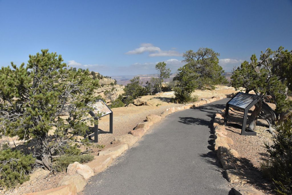
we drove to Tusayan (just outside the park) and took one of the free park shuttles.
This allowed us to get to the park much earlier (beating the crowds), park free, skip the lines at the gate, and go directly to the park Visitor Center.
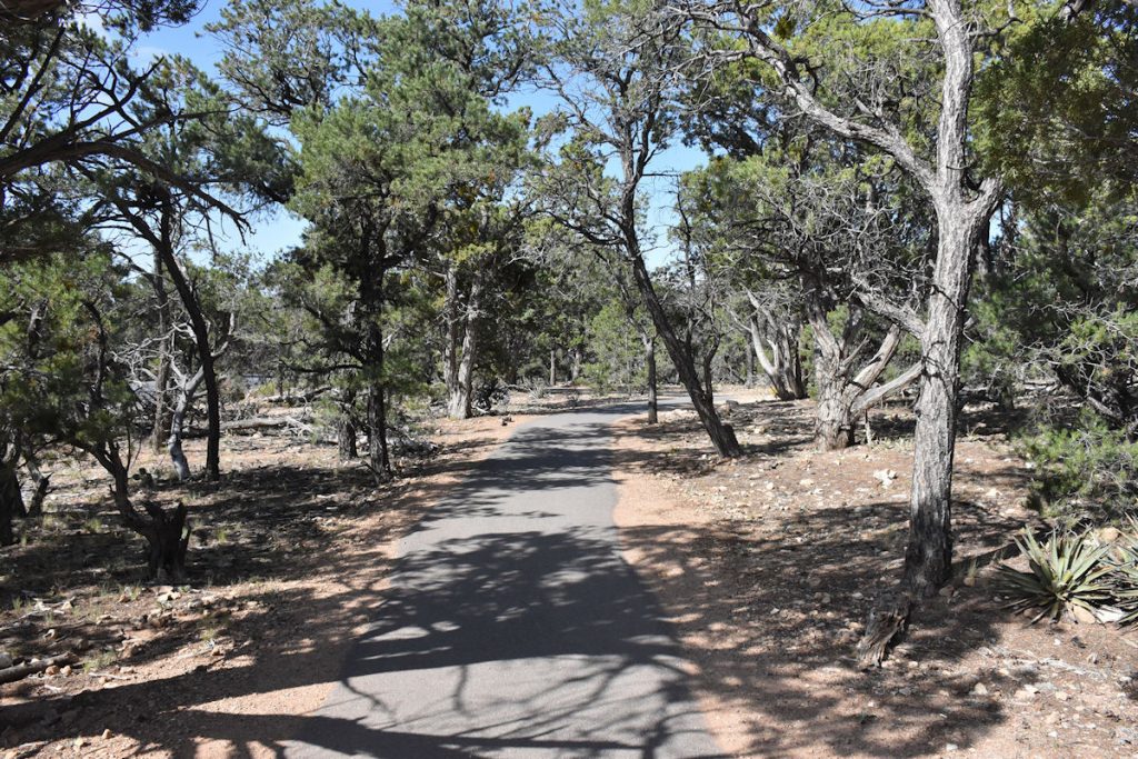
With buses running every 15-20 minutes, it also allowed us to relax and see as much of the park we wanted without a strict deadline.
Very nice!
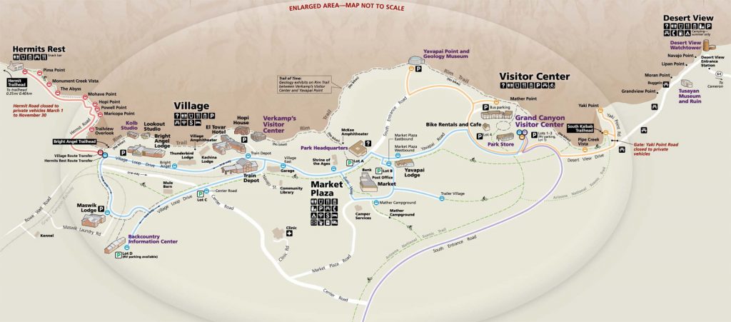
From there, we rode the free park shuttles (Blue line and Red Line) to the left/west end of this map at Hermit’s Rest.
We stopped at almost every bus stop since the next bus would be along in about 10-15 minutes.
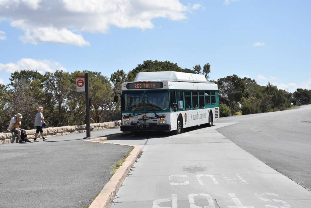
We were on the first bus into the park at 8:00am. (The train doesn’t arrive from Williams until 10:30)
We immediately caught the first Blue Line bus over to the Red Line to explore the canyon rim
You can follow the Red Line stops on the far left side of the park map above.
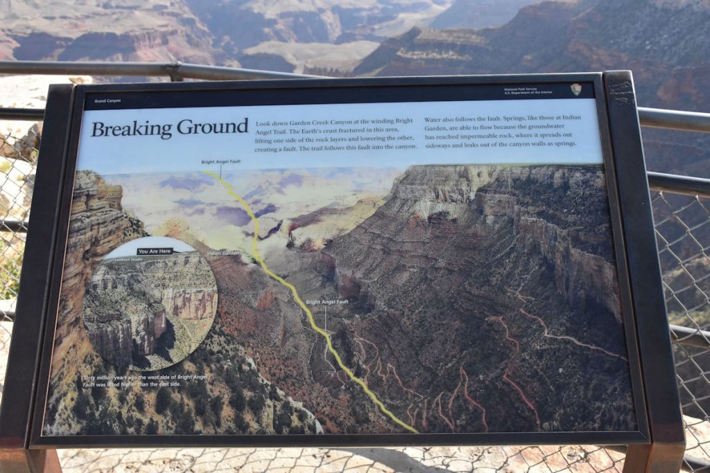
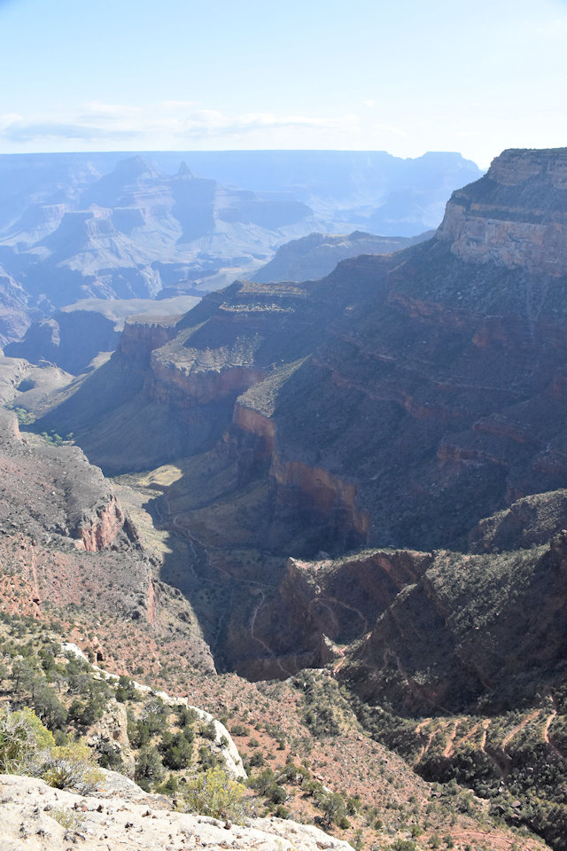
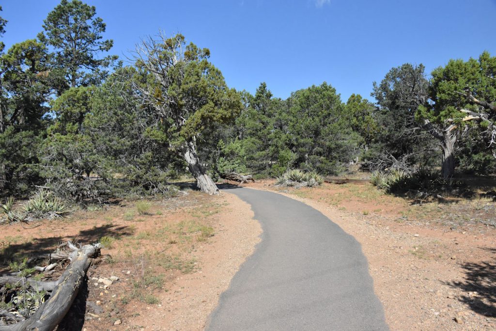
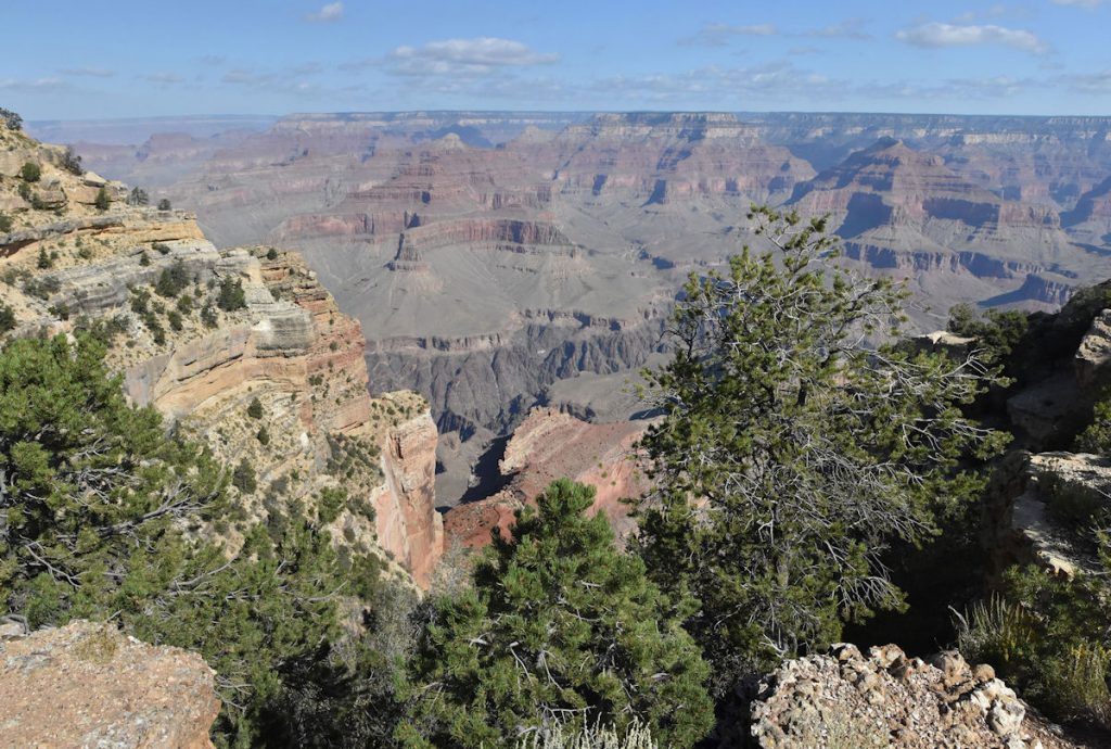
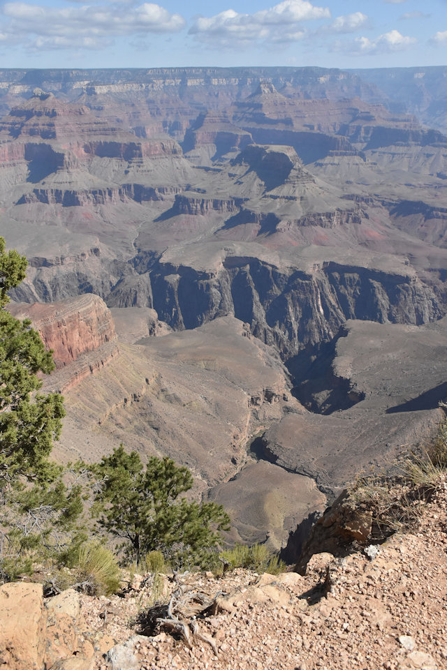
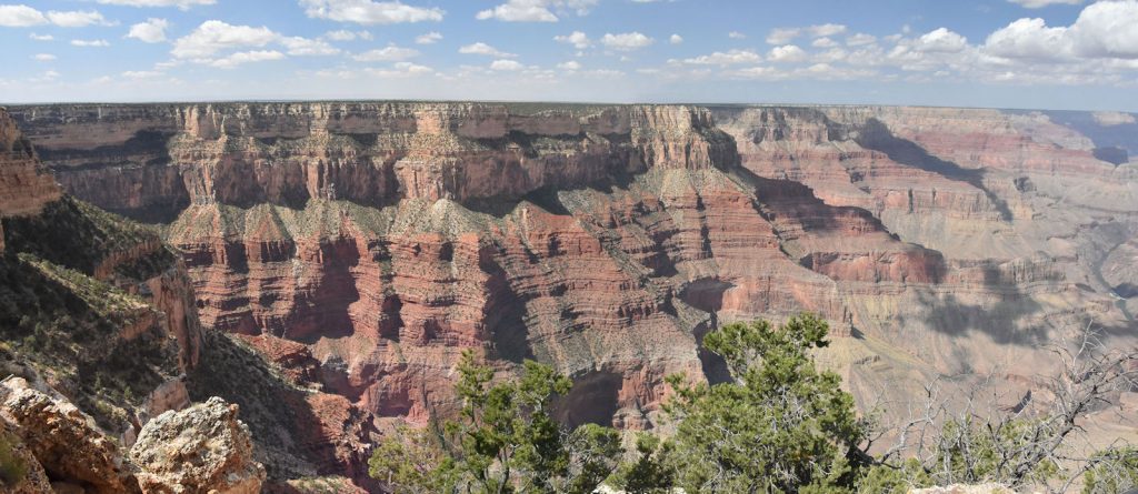
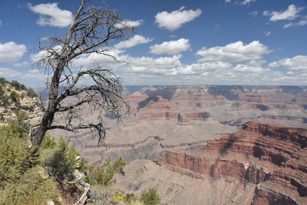
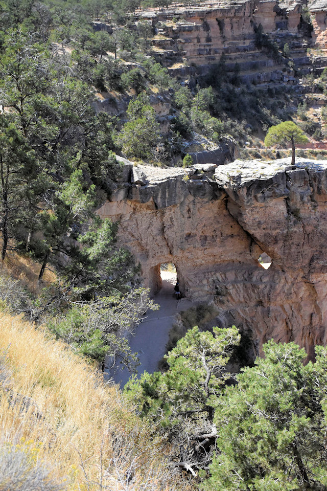
Trailview Overlook
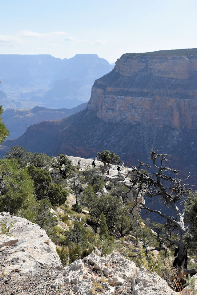
area at Trailview Overlook. Like many of the viewing areas,
there were quite a few steps involved.
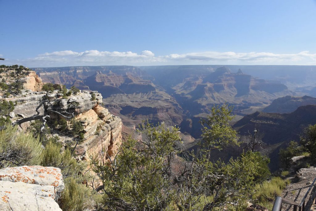
Photos cannot convey the distances.
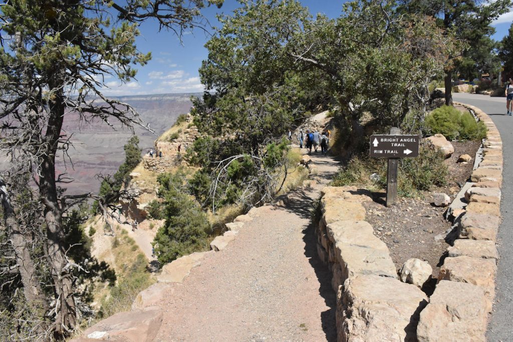
Also visible on this sign (to the right) is the Bright Angel Trail, a very strenuous and steep hike for the hardy. (More on that later)
Bright Angel Trail is also visible to the right.
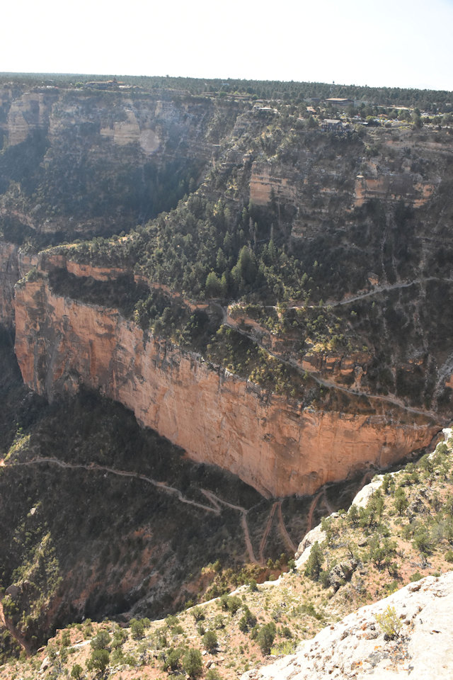
Also visible in the distance up above is the Visitor Center area.
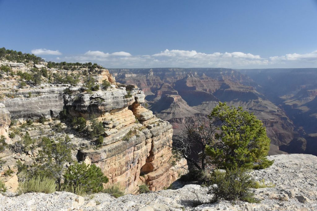
It was only 80 degrees now, but high 90s later.
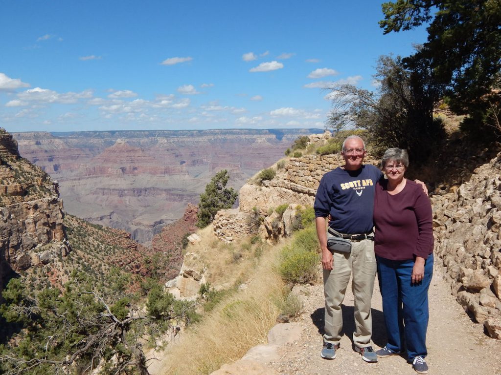
MARICOPA POINT
Our next stop is Maricopa Point. After waiting just a few minutes, the next shuttle bus appeared to take us there — a 2 minute ride.
As we left Maricopa Point, we noticed the next stop (Powell Point) is only 0.3 miles and there is a nice paved trail there.
After sitting in the car as much as we have the past week, it felt good to walk.
POWELL POINT
Named for John Wesley Powell,
one of the first explorers of the Grand Canyon.
The 1869 Geographic Expedition began with 10 men and 4 boats. Shortly after the start of the expedition, one boat was lost at a rapids they named Disaster Falls. Many crucial supplies were lost, including barometers – important since they are used to calculate elevation, and therefore help the team know how far they were away from the endpoint, which had a known elevation. They did manage to recover enough of the equipment to continue.
However, the river was rough. Now, there are dams in place to equalize the flow. Back then, there were areas of extremely rough rapids. At one point, 2 of the men had enough and did not want to risk the dangerous rapids any longer. They were last seen walking back along the river route they had come from. They were never seen again. Two days later, the team reached their destination.
Read more about this interesting explorer: https://en.wikipedia.org/wiki/John_Wesley_Powell
Read more about the 1869 Expedition: https://en.wikipedia.org/wiki/Powell_Geographic_Expedition_of_1869
As we made our way to the next overlook (Hopi Point) we could look back and see Powell Point .
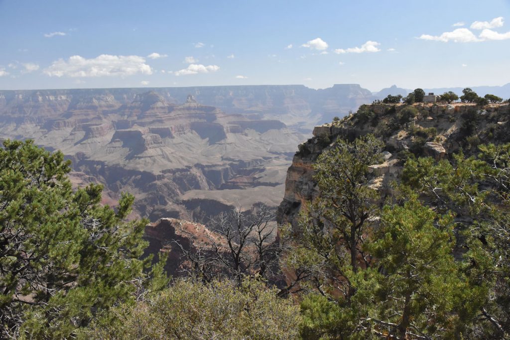
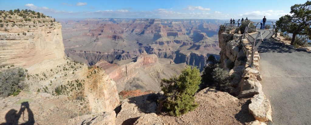
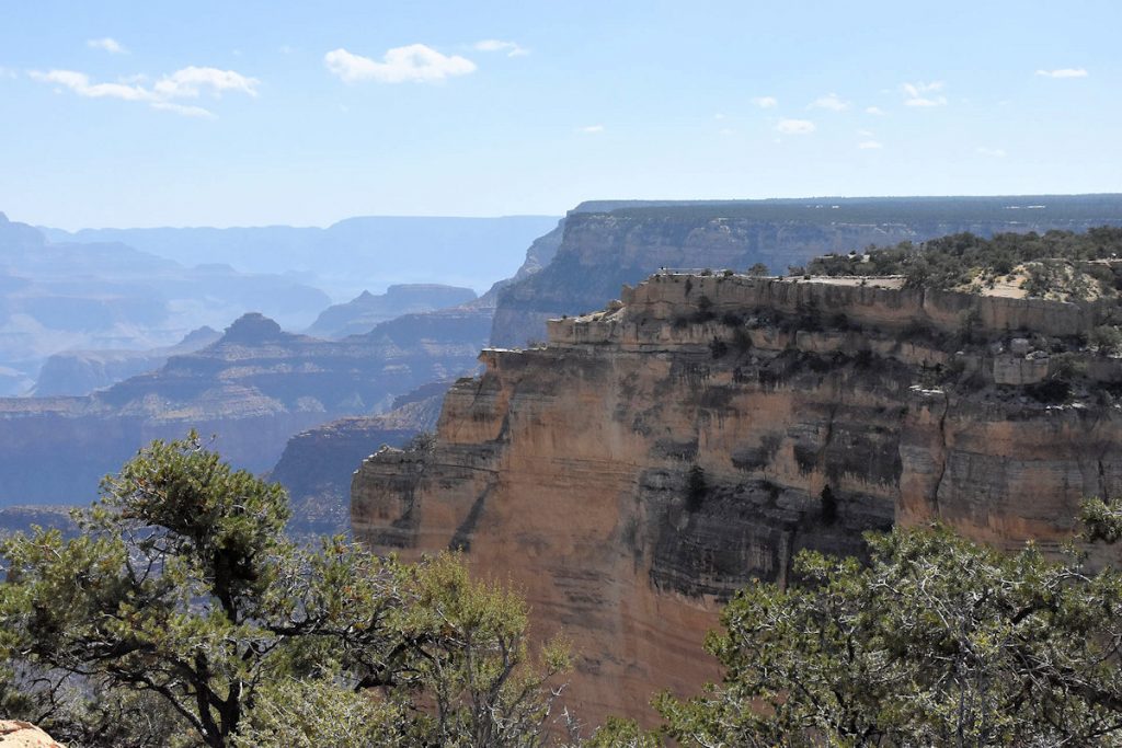
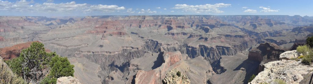
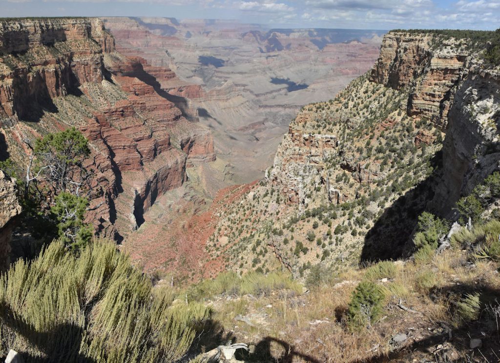
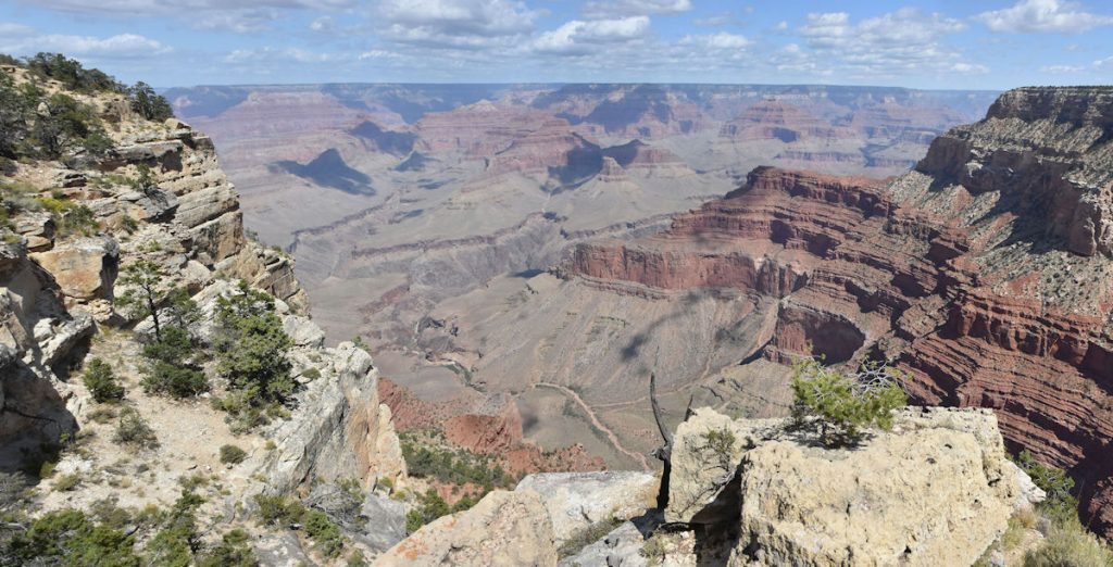
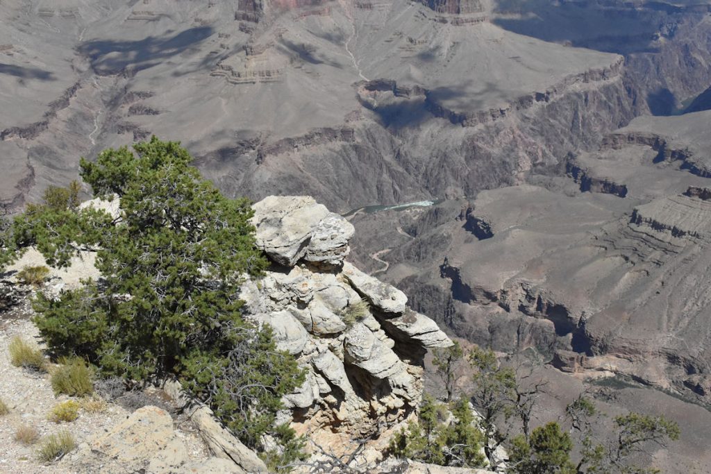
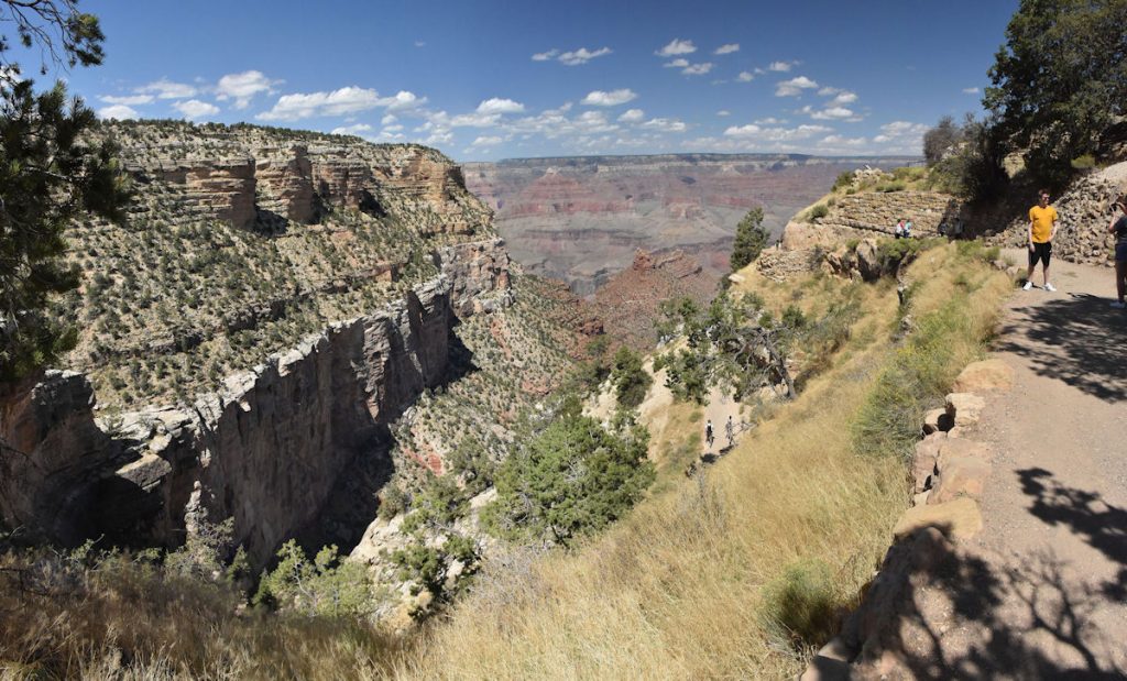
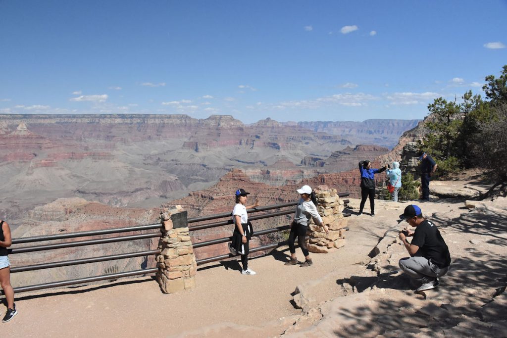
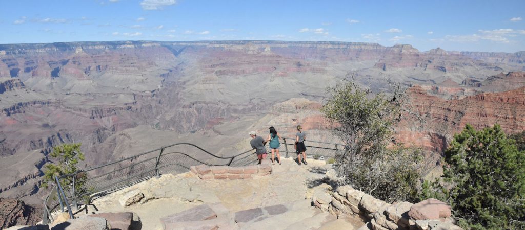
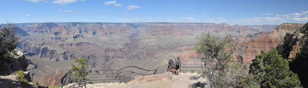
HOPI POINT
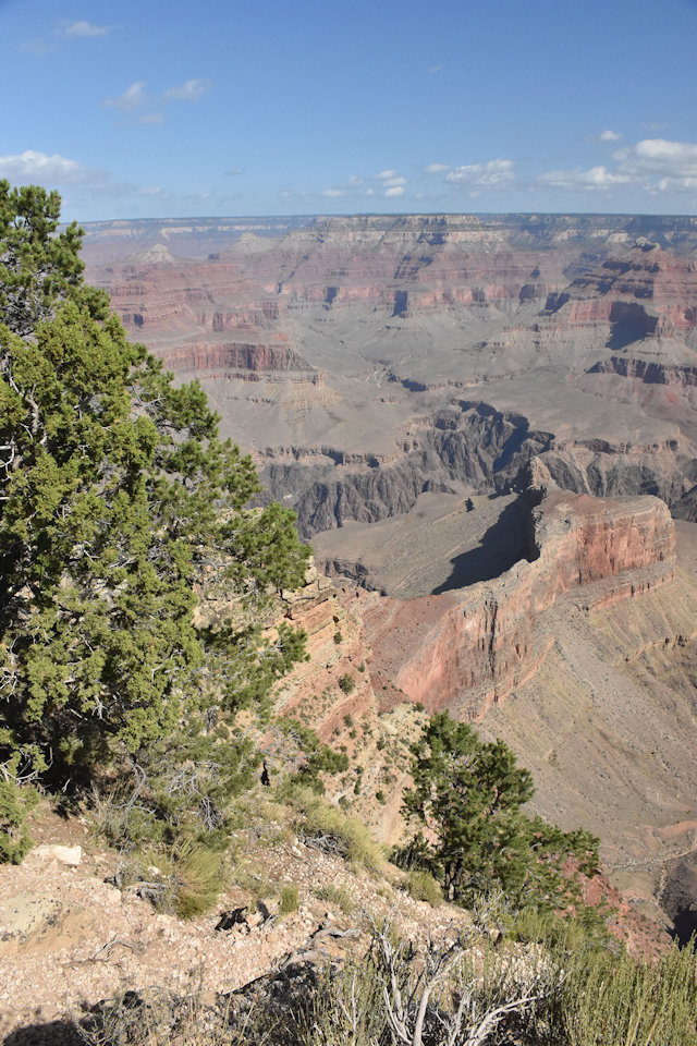
These 2 views from Hopi Point show the immense drop between the rim and canyon floor – over 4,500 feet!
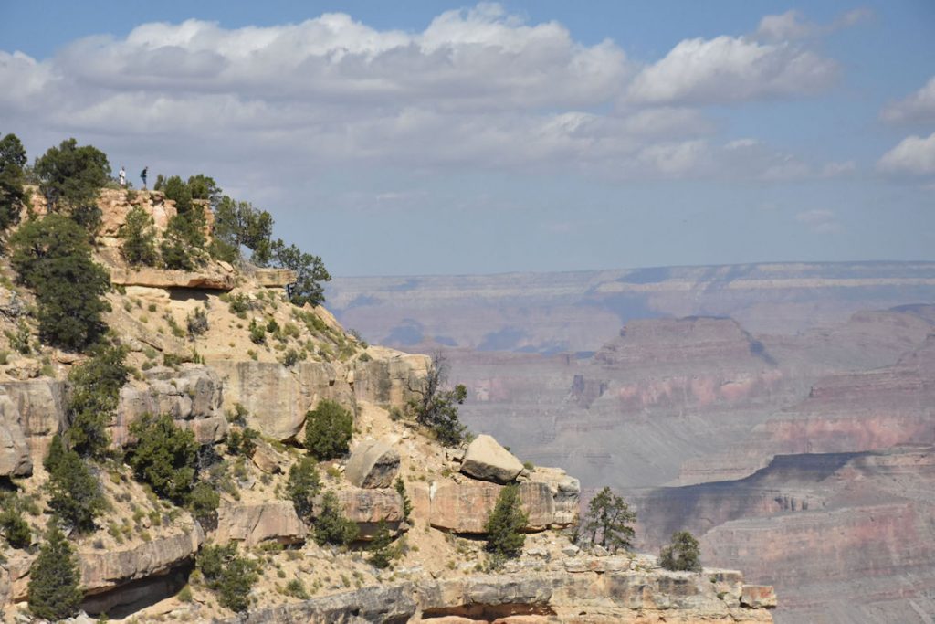
Many areas of the walkway do not have safety rails. Pay attention or you will be sailing though the air.
The North Rim, visible in the distance, is between 15-20 miles away and is actually 1,000 feet higher than the South Rim.
MOHAVE POINT
Check back in a million years and see how it has changed.
THE ABYSS
I was about 50 yards past where you see people standing now. From here, you can see the long drop-off where I was standing.
Time and water prevailed, though, and eventually the dam gave way.
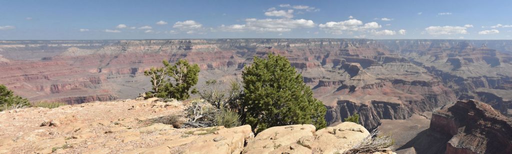
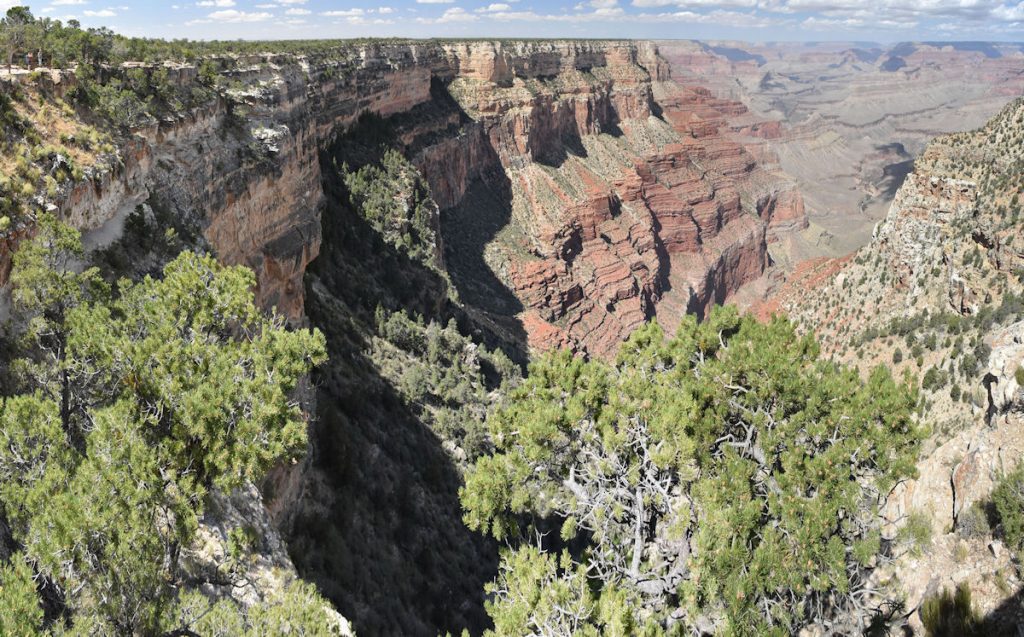
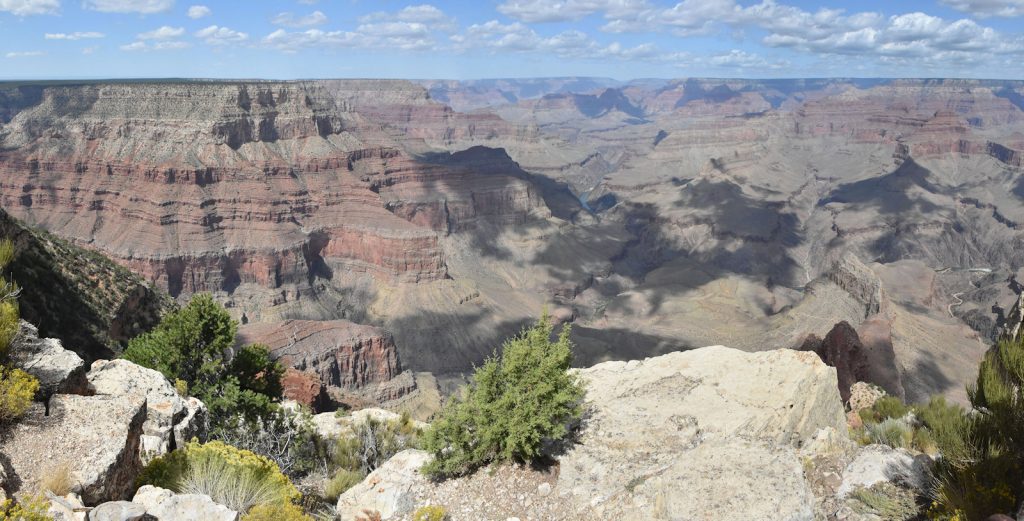
MONUMENT CREEK VISTA
We’re nearing the end of our route – only 2 more stops after this one.
This view is from the left (west) side of the canyon looking northeast.
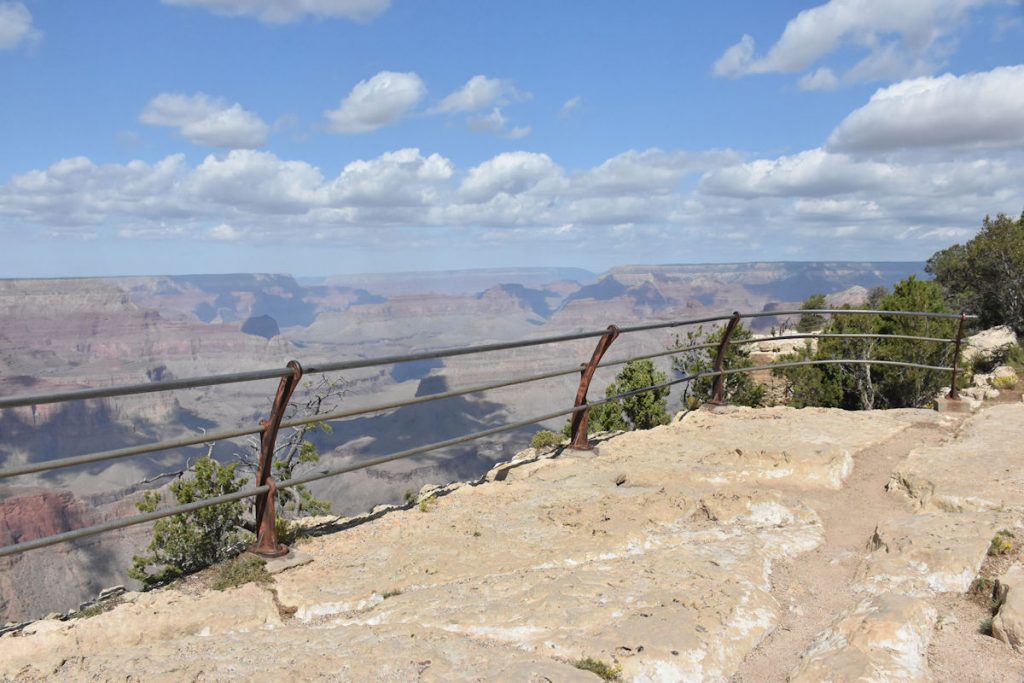
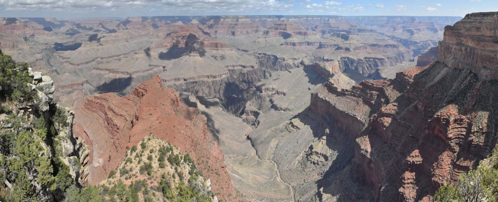
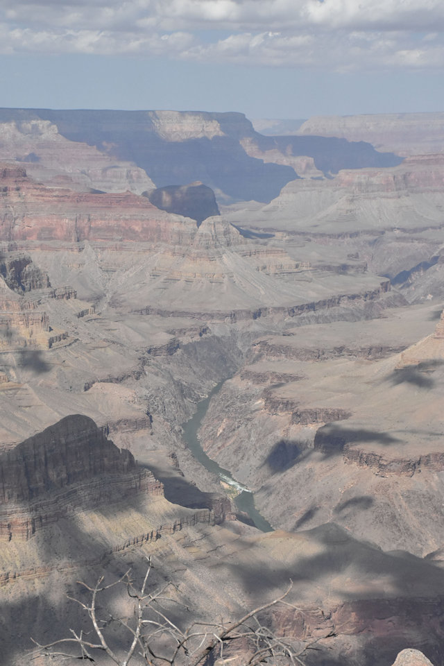
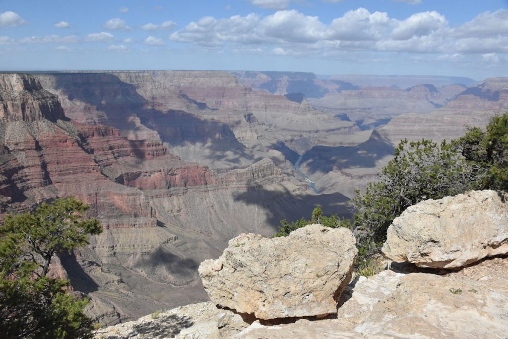
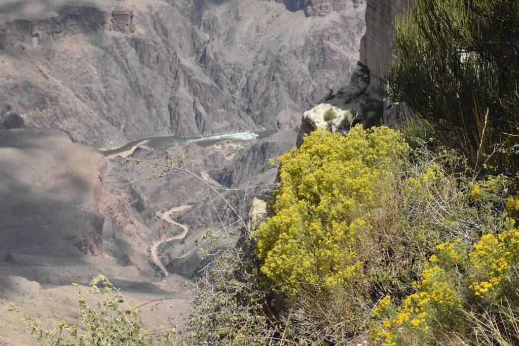
PIMA POINT
The last stop before reaching Hermit’s Rest,
our final destination on this loop.
The Colorado River is still visible in the distance.
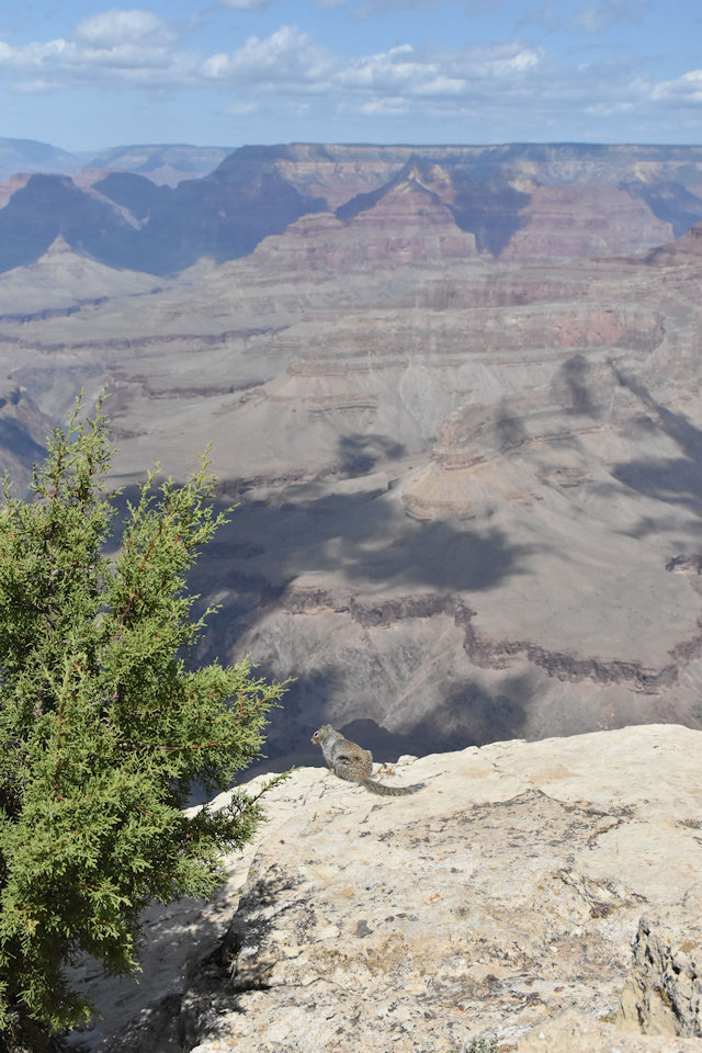
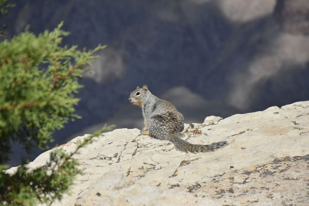
perched himself on the ledge next to a high drop-off.
He obviously is not scared of heights.
HERMIT’S REST
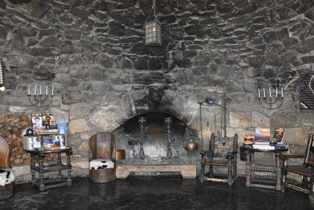
The last stop on the Red Line bus route is Hermit’s Rest. Built in 1914, it was originally constructed as a rest stop for the stage line that ran from El Tovar to this location. It is constructed of stone and timber, and was designed to resemble a dwelling constructed by an untrained mountain man.
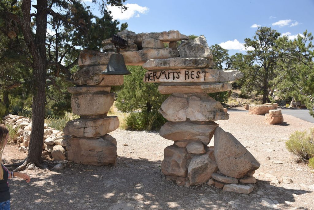
The bell was acquired from a Spanish mission in New Mexico.
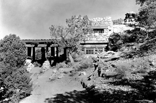
In a senior moment, I forgot to take a photo of the outside of the building.
So, I borrowed this photo from the park website.
After a quick water break, we boarded the bus back to the Visitor Center.
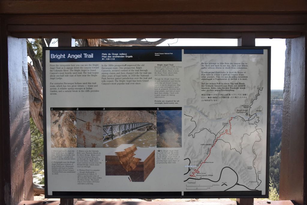
On the way back, we stopped at the Bright Angel Trailhead.
BRIGHT ANGEL TRAILHEAD
Remember this trail from one of our first stops?
This is an all-day hike to the canyon floor, nearly 8 miles roundtrip with a drop (and then a climb on the way back) of 4,500 feet. It’s a rough, rocky trail along cliffs with long falls if you are not careful. We passed. But, we did walk the first part just to say we hiked part of the trail.
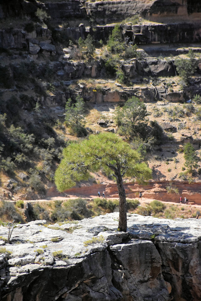
Two views from the Bright Angel Trail.
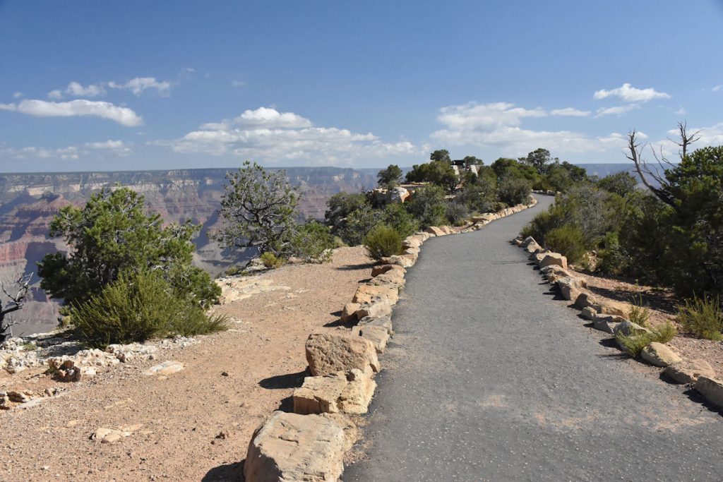
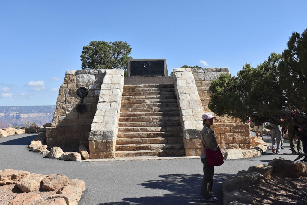
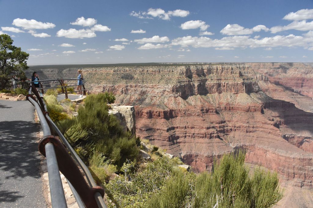
YAVAPAI POINT
Our last sightseeing stop of the day will be at Yavapai Point, which is east of the Visitor Center. There are fewer people on this loop.
There is good reason to be safety-conscious. Since the mid-1800s,
over 770 deaths have occurred at the Grand Canyon.
A rough breakdown (from 2001 when the total numbers were lower) follows:
53 – Died from falls
65 – Environmental (heat, dehydration, hypothermia)
7 – Caught in flash floods
79 – Drowned in Colorado River
242 – Perished in airplane and helicopter crashes (128 died in 1956 when two planes collided)
25 – “Freak” accidents like lightning strikes, rock falls
23 – Homicides
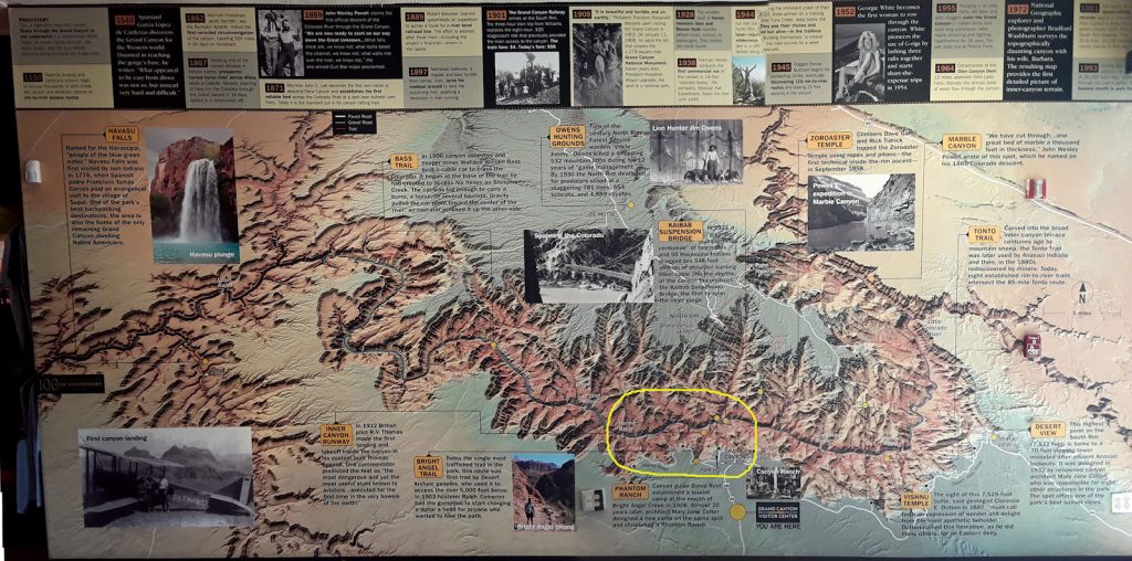
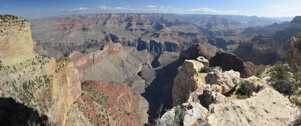
In the photo above, I circled the entire area we visited and photographed today.
Next week, we will be visiting the North Rim, and I will show this photo along with updates of that day’s visit.
Thank you for joining us today as we explored the South Rim of the Grand Canyon.
We hope you join us tomorrow as we explore Old Rt 66 on our way to Death Valley.
Mileage Today: 110 Miles
Trip Total: 2,637 Miles
Proceed to Day 12 – Rt 66 and Hoover Dam as we pass by Las Vegas to Death Valley