Southwest – Day 12

Rt 66 near Seligman, Arizona

Southwest USA

Retirement Trip

September 2019

29 Days – 6,500 Miles – 19 States

7 National Parks

Several State Parks – 6,000+ Photos

1 Trillion Insects Squished by Car Windshield

 From 108 Degrees to Snow

From 282 Feet Below Sea Level to 12,000+ Feet

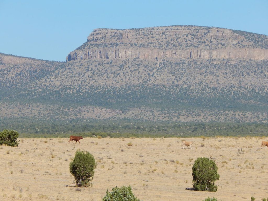
Bison, Elk, Prairie Dogs, Lizards, Wild Horses

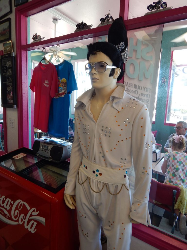
Elvis, Aliens, John Wayne Westerns

Walking In The Footsteps of Forrest Gump

And More! 

Hoover Dam

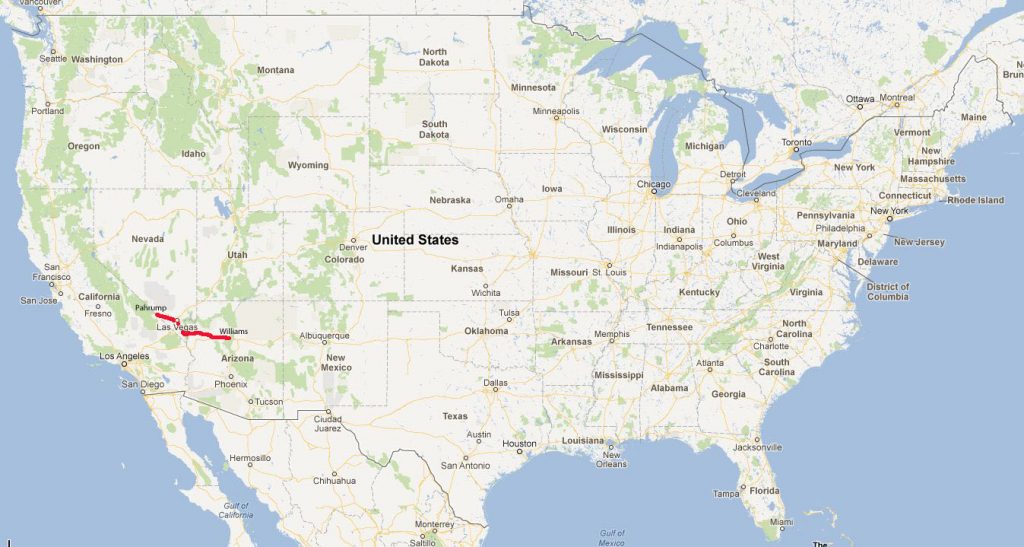
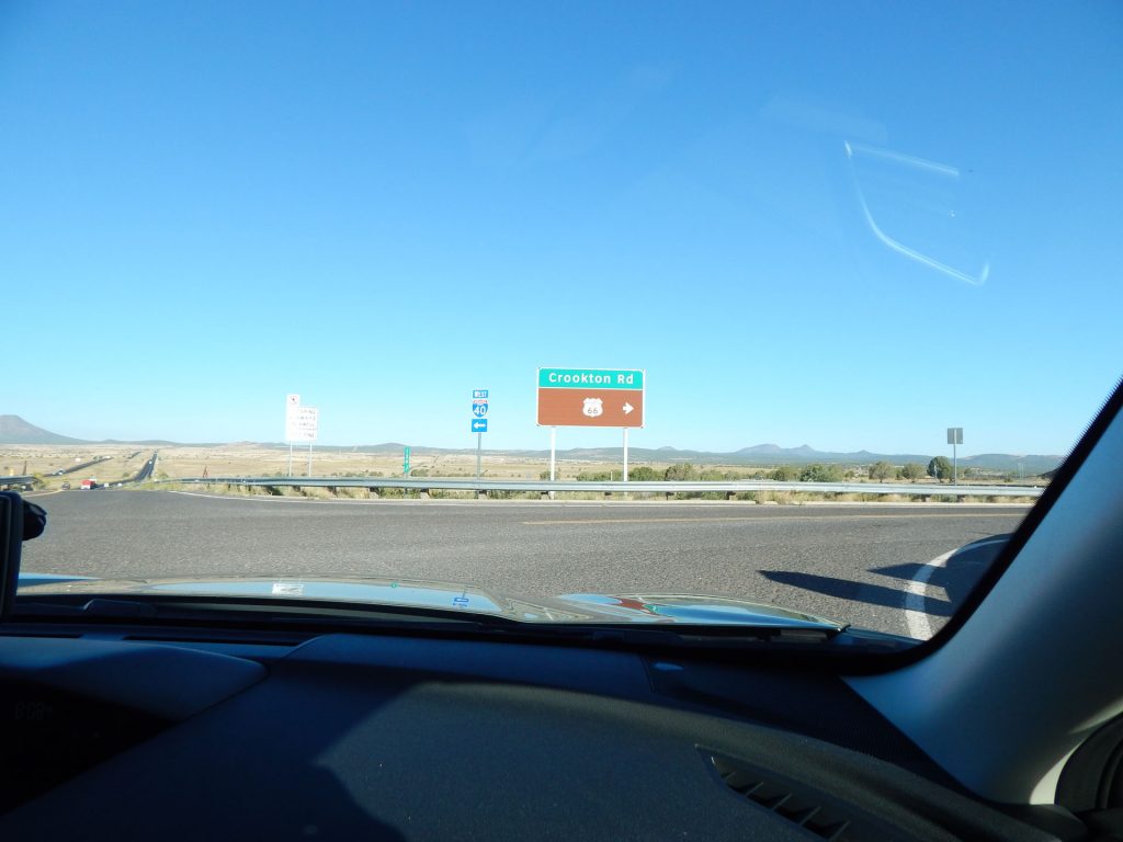
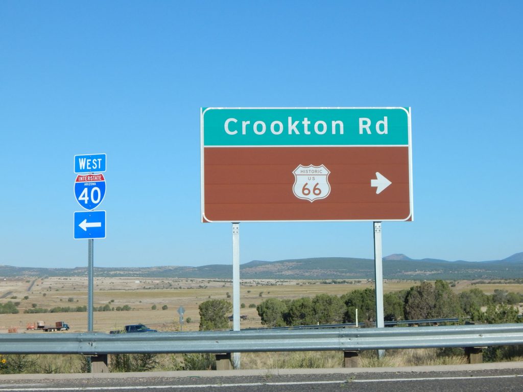
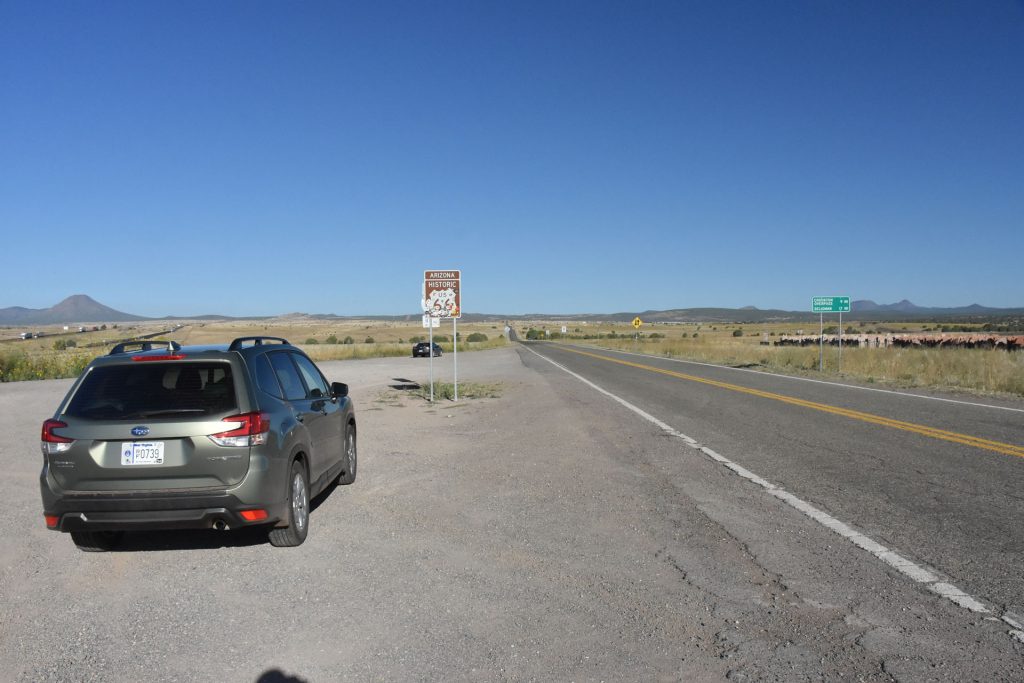
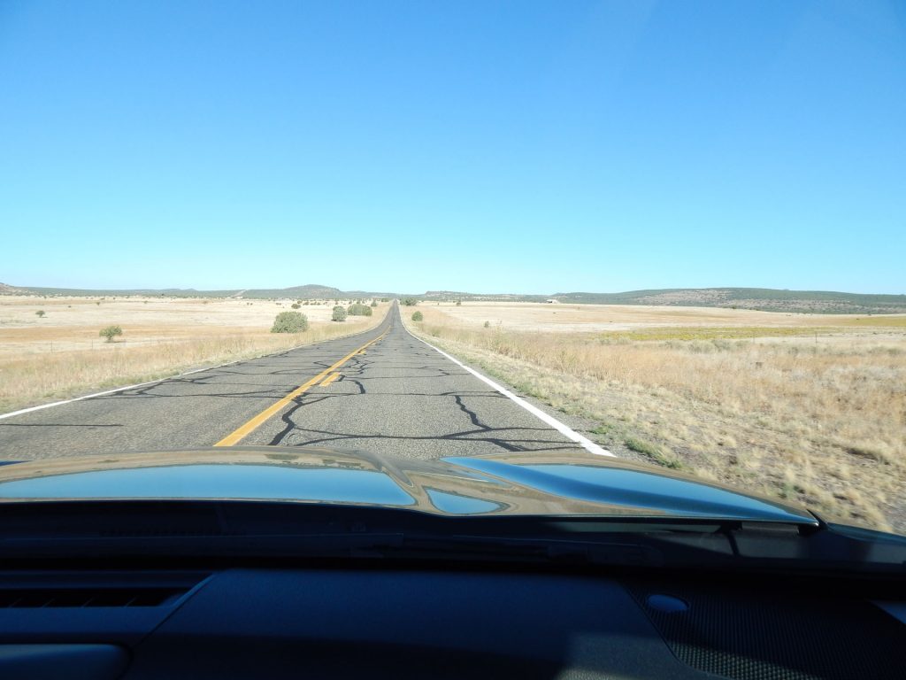
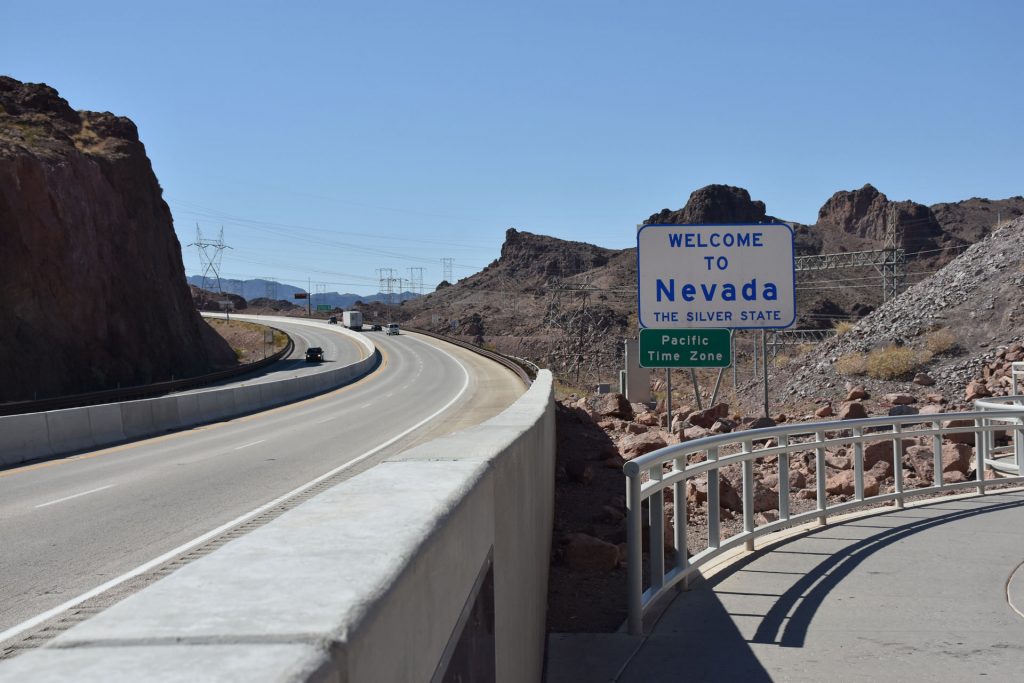
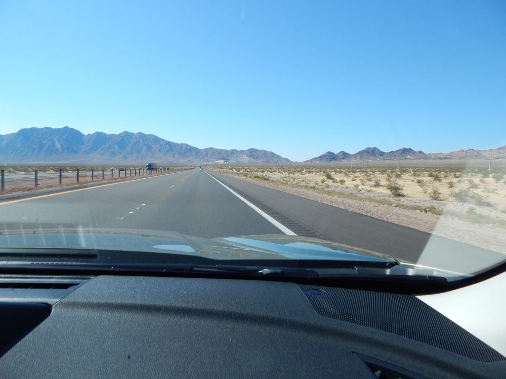
Williams, Arizona to Pahrump, Nevada via Rt 66 and Hoover Dam

Today, we drove west from Williams, Arizona for about a half hour before exploring a 100-mile stretch of Old Rt 66 from Seligman to Kingman.
Then, we crossed into Nevada and stopped by Hoover Dam before circling past Las Vegas (best seen from a distance)
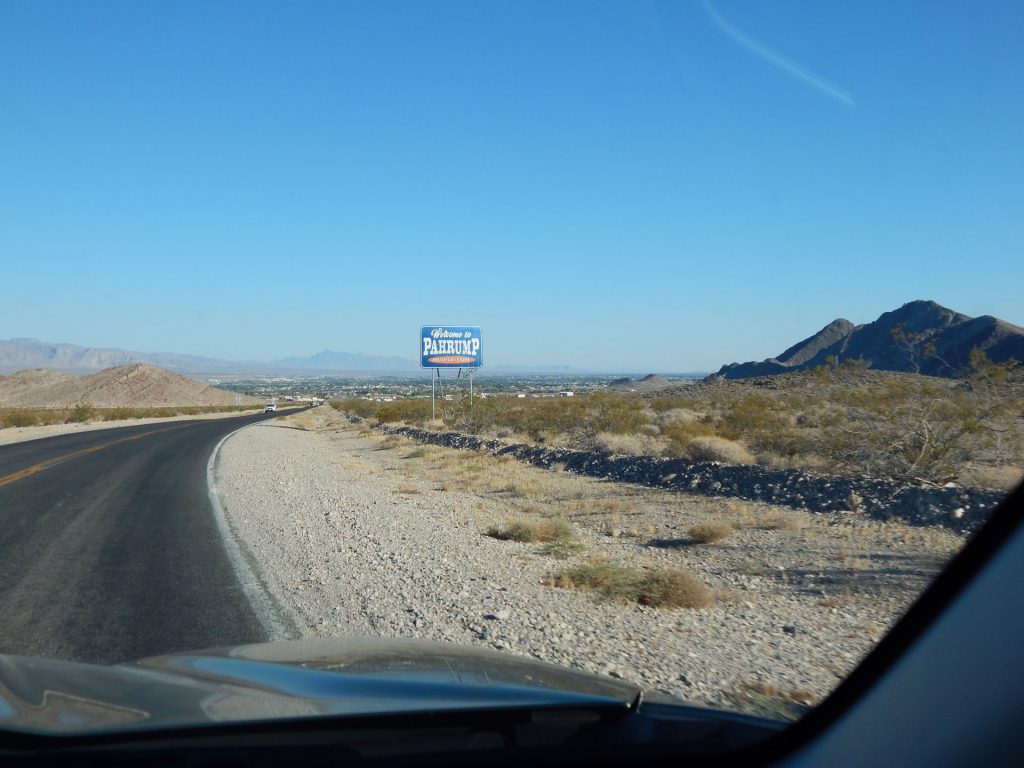
and heading to Pahrump, near the gate to Death Valley.

We had to drive west on I-40 for about a half hour to get to the next section of Rt 66.
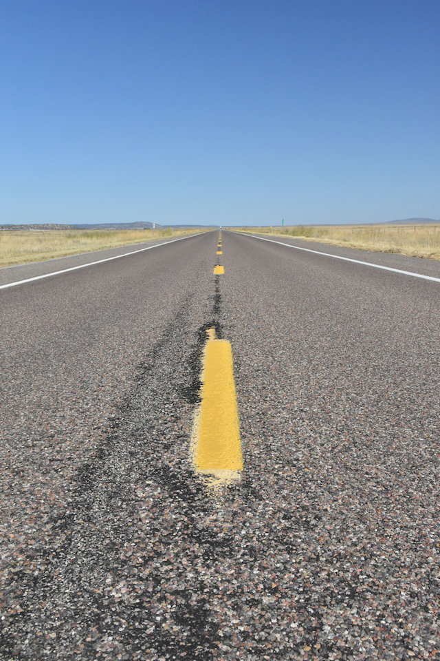
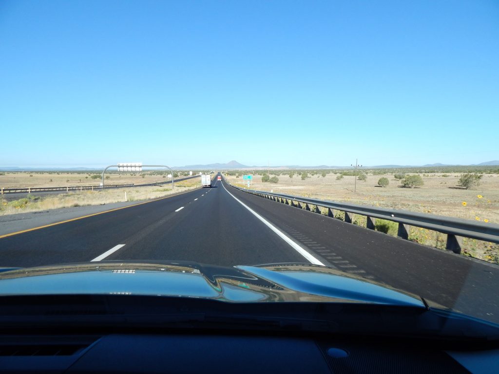
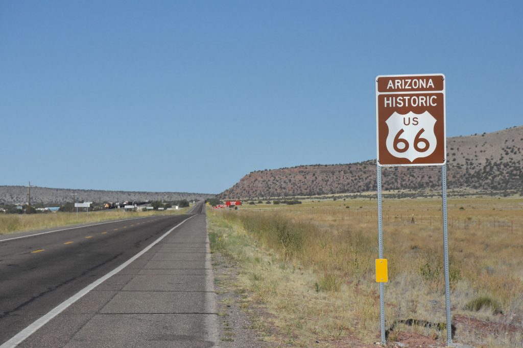
The interstate covered up this section of the old Rt 66.
Here, we are approaching Ash Fork AZ and the exit for Old Rt 66. 
We’re here!  We finally get off the interstate and start enjoying Old Rt 66.
Goodbye Interstate!
Old Rt 66 parallels I-40 for the next 20 miles or so until Seligman. 
Too bad people have put stickers all over the sign.  Oh well.
Pretty roadside flowers with I-40 westbound in the distance.
Rt 66 disappearing off into western Arizona.
We pulled out our Arizona Rt 66 Passport to make sure we got it stamped today. We already had it stamped in Winslow, Grand Canyon, and Williams.
Enjoying the solitude of Old Rt 66 near Seligman AZ.
More western Arizona scenery.
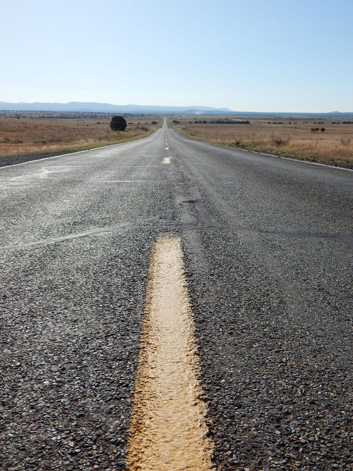
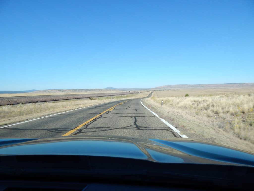
Notice the train tracks parallel Rt 66 quite a bit.
Welcome to Seligman, Arizona.  Historic old town.
Downtown Seligman.  Once a main stop on Rt 66. 
One place you HAVE to stop on Old Rt 66 is Angel and Vilma’s Rt 66 Gift Shop.
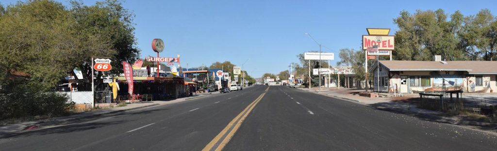
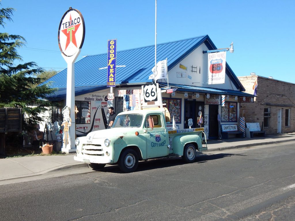
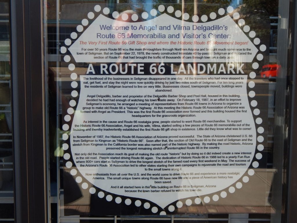
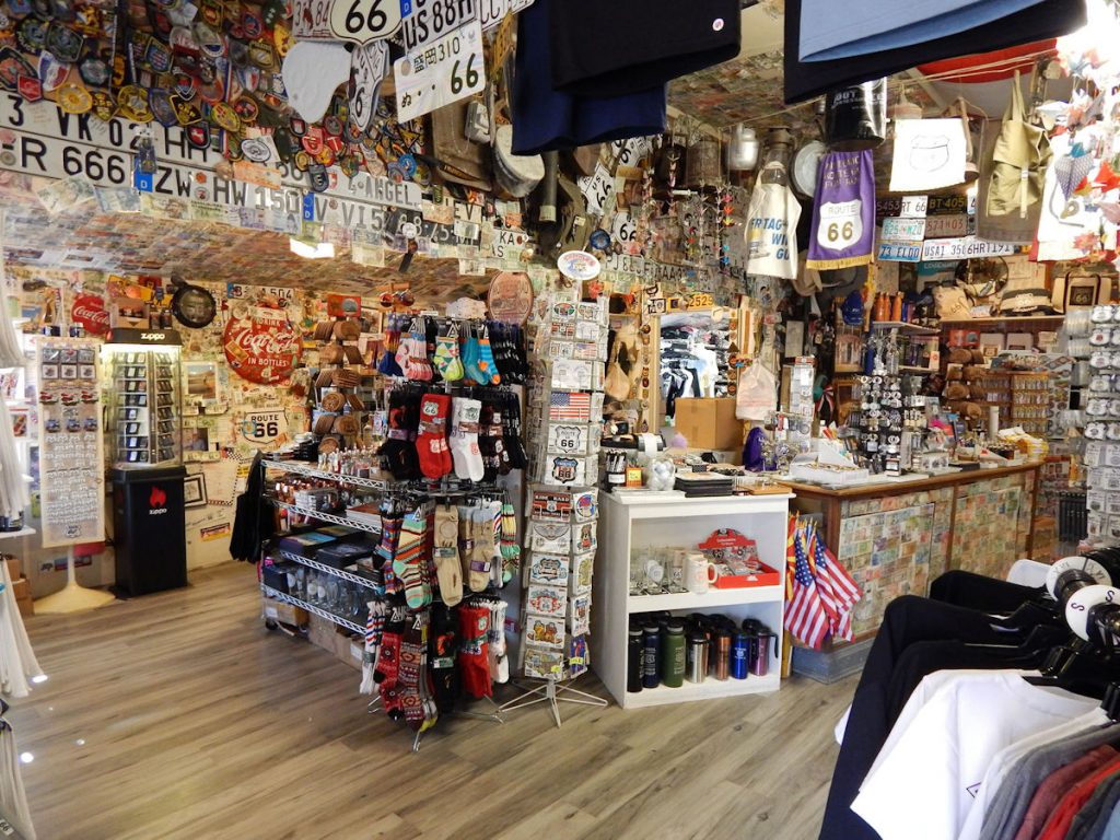
Angel Delgadillo, a barber and owner of this shop, organized a “rebirth” of the town many years after I-40 had just about turned it into a ghost town.
Read more about his story on the next photo.
The story of Angel Delgadillo and the Gift Shop.
Let’s go visit the Gift Shop!
Hellooooooo, Betty!  (Betty Boop!)
Wow!  And this is only one part of the Gift Shop. 
Anything and everything related to Rt 66! 
Getting a haircut from Angel in his original barber chair!
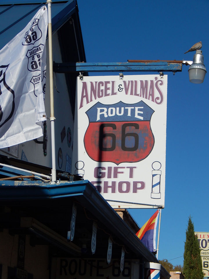
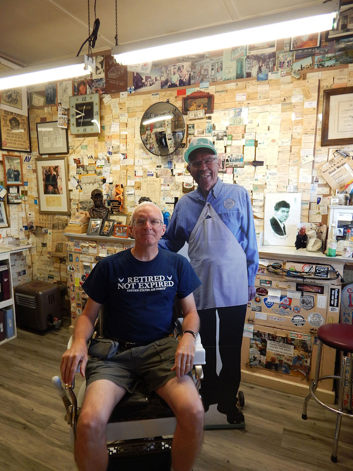
(Actually, just a cardboard cutout of Angel)
We got our Arizona Rt 66 Passport stamped and bought some cards.
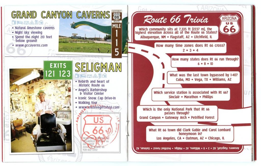
Can you take the quiz on the right-hand page?
 
For More Information on Angel’s Gift Shop:  https://www.route66giftshop.com/the-angel-of-route-66/ 
 
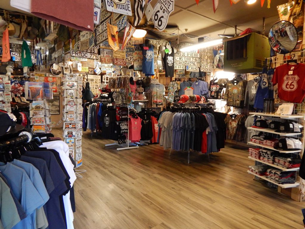
Shortly after we arrived, a tourist bus pulled up out front and dozens of people came in the store.  Time to go! 
Heading west on Rt 66 from Seligman, we started seeing more Burma Shave signs.  
Remember those?
Look closely at the row of red signs ahead on the right.


As you drive by, each sign has one line of a 4-line poem.
Listen, birds
These signs cost money
So roost awhile
But don’t get funny.
Burma Shave
 
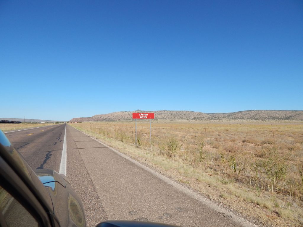
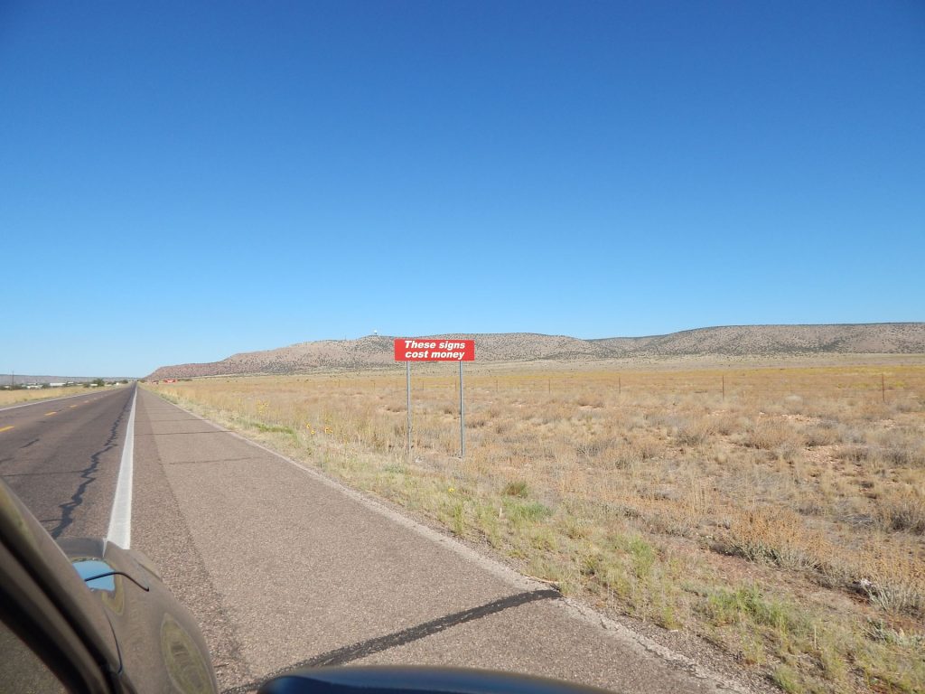
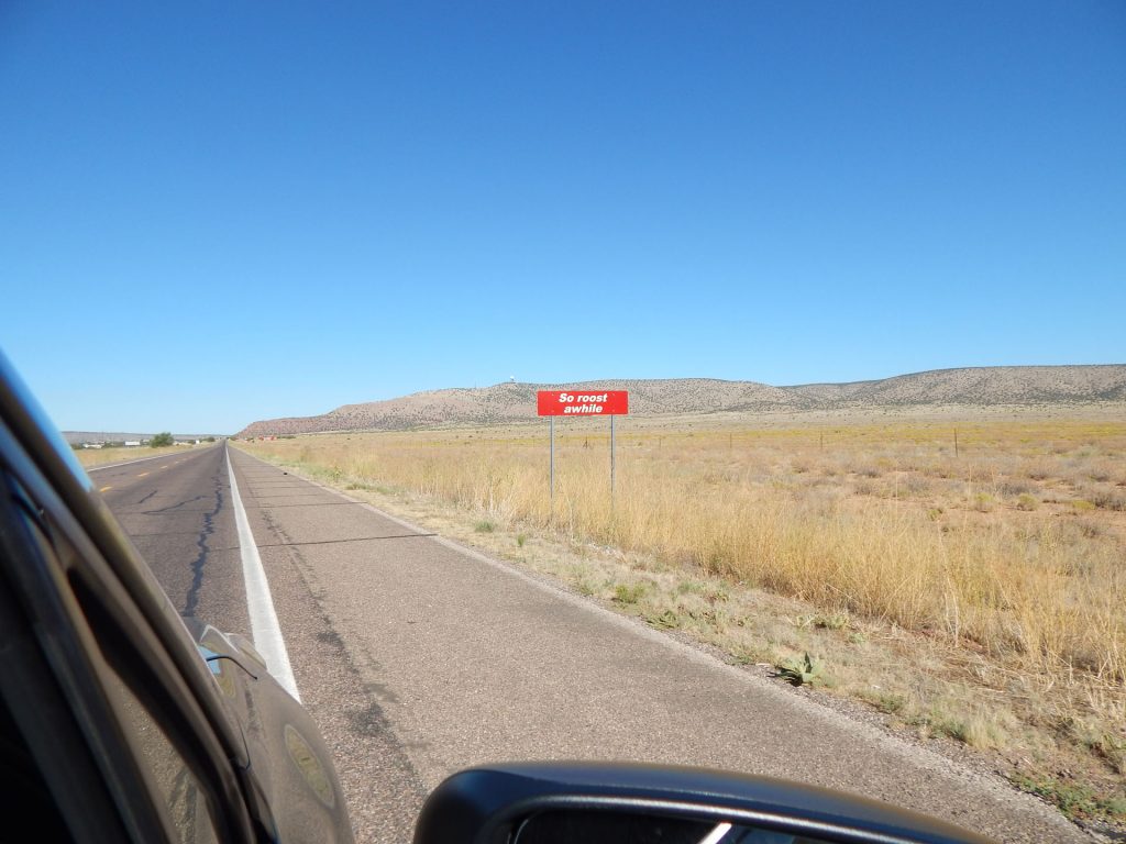
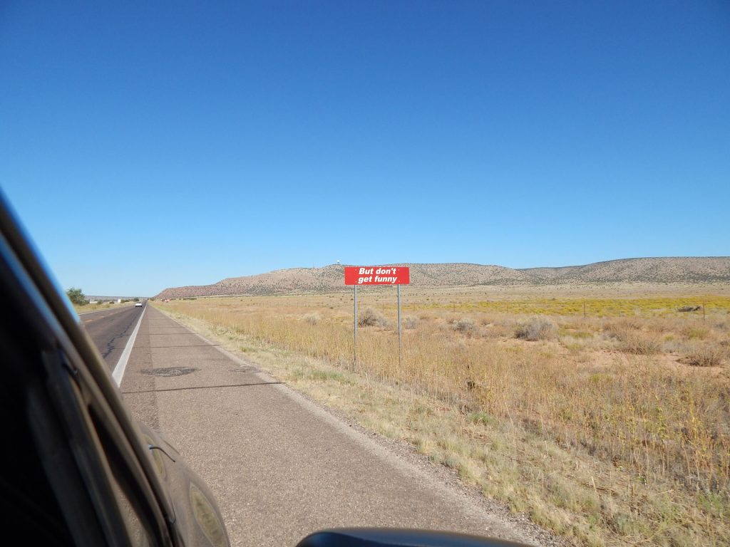
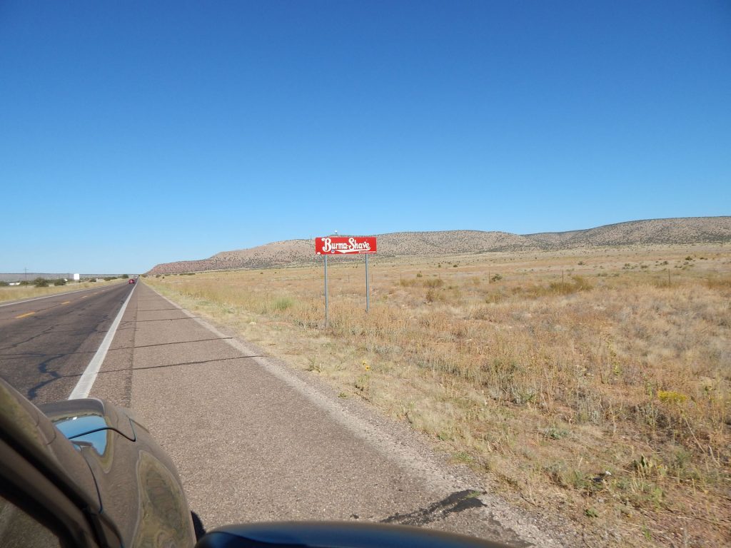
Back in the 50s and 60s, there were hundreds of these signs along highways in the US. 
Very creative advertising! 
We have never seen so many trains!!  
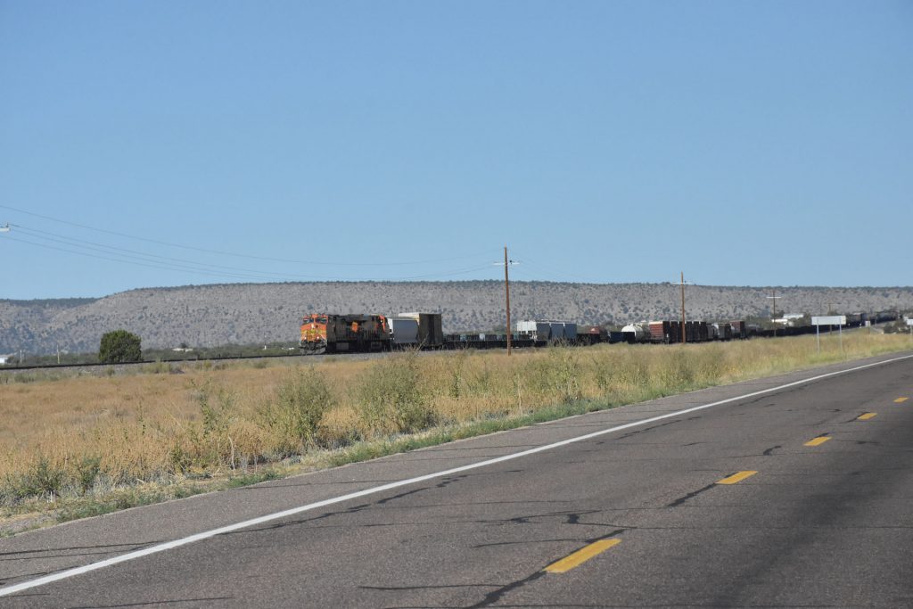
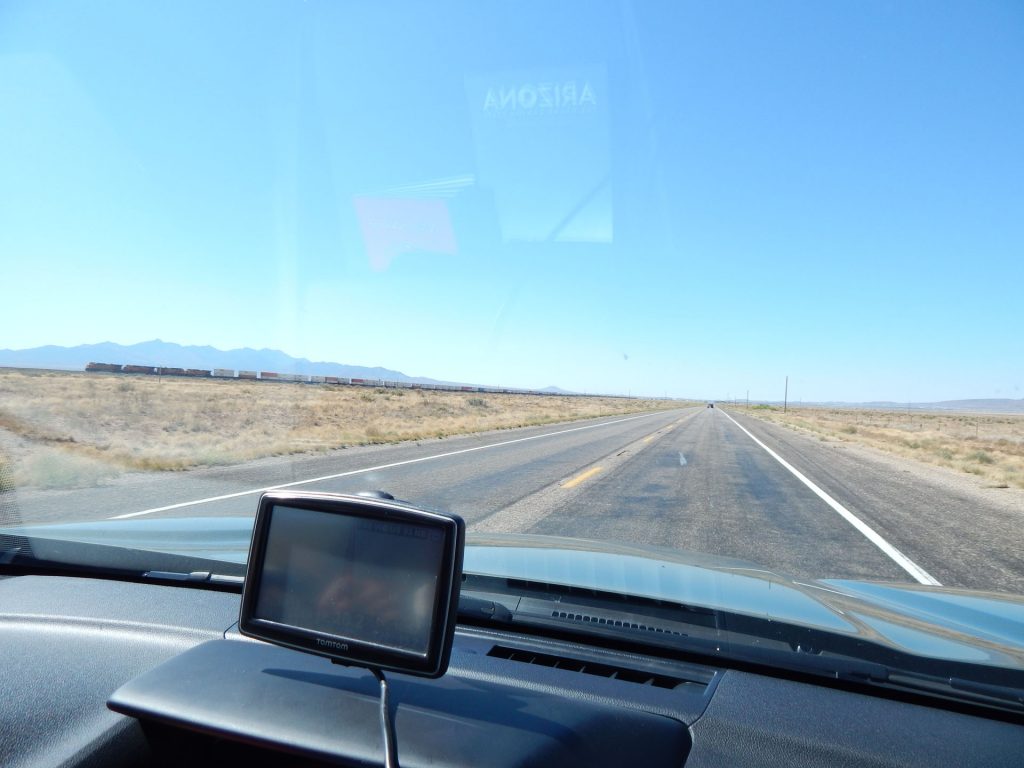
Every 10-15 minutes, we would pass another train – some over 2 miles long!
We were just a little too far north to see the tall Saguaro cacti,
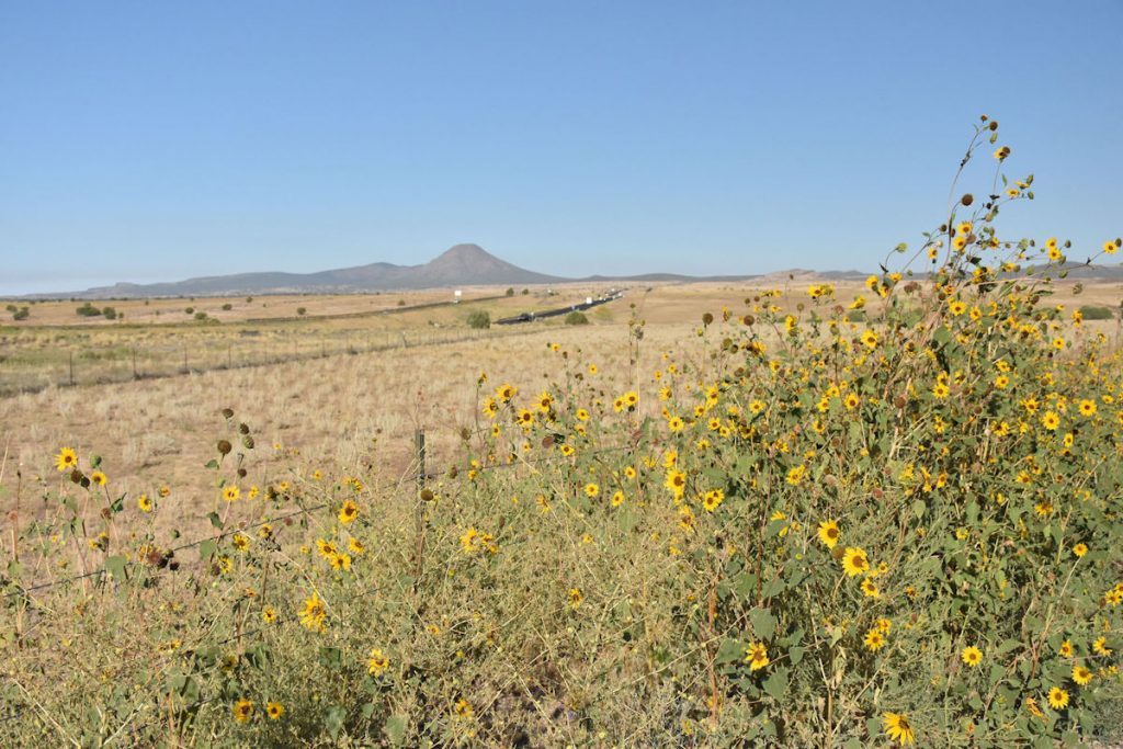
but there were still many interesting ones along the way.
As we got closer to Kingman AZ, there were some cattle grazing on the plains. 

Still enjoying Rt 66. We start to see more hills as we pass Peach Springs and Valentine AZ.
Approaching Valentine AZ, about a half hour east of Kingman.  Still on Rt 66.
Lots of space for cattle to graze, but there doesn’t appear to be a lot of grass to eat.
Another train!!  Here, we pass through the Hualapai Valley just north of Kingman.
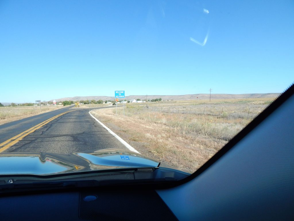
(The name sounds more like a place in Hawaii than Arizona, eh?)

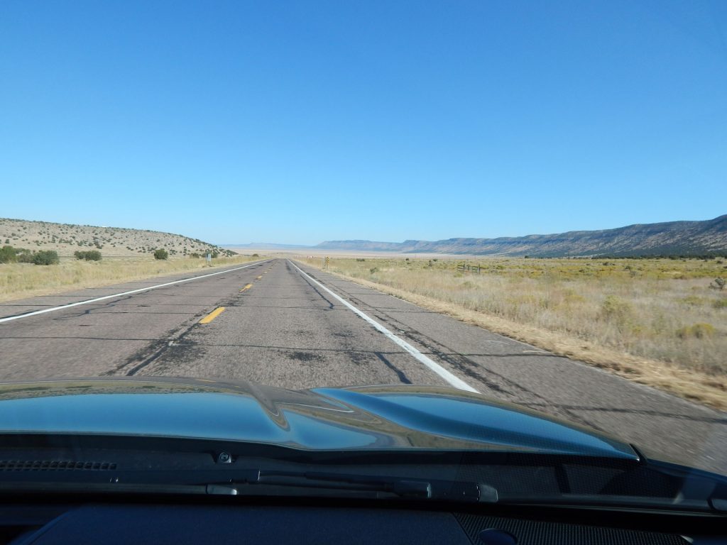
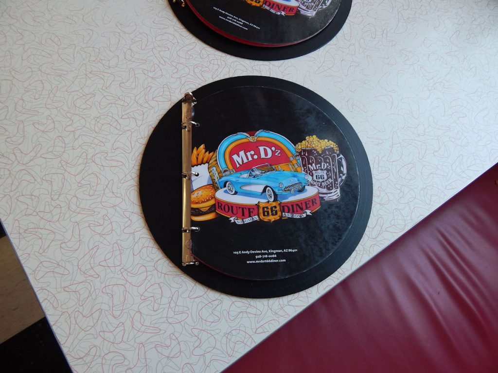
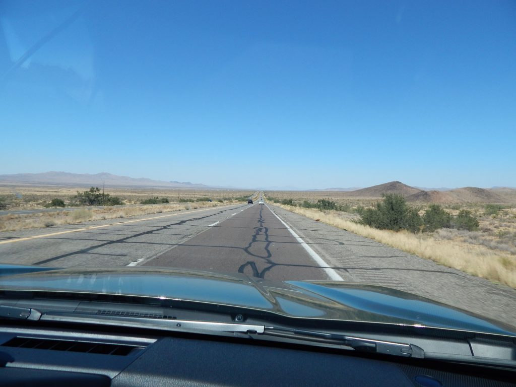
We arrived in Kingman, Arizona just before noon.

First things first – We stopped at the Visitor Center to get our Arizona Rt 66 Passport stamped!
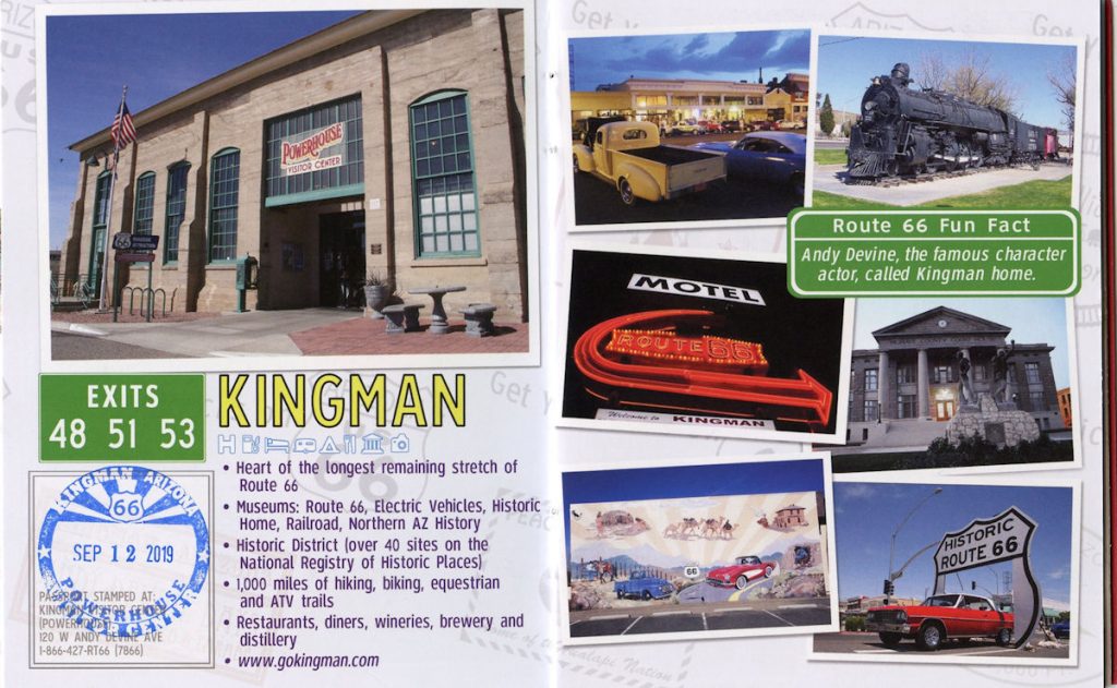
It’s the last one, as we head northwest from here on a different road.
When we pulled into the Visitor Center, we noticed this old diner across the street.
So, it looks like we have come 1,511 miles from St Louis
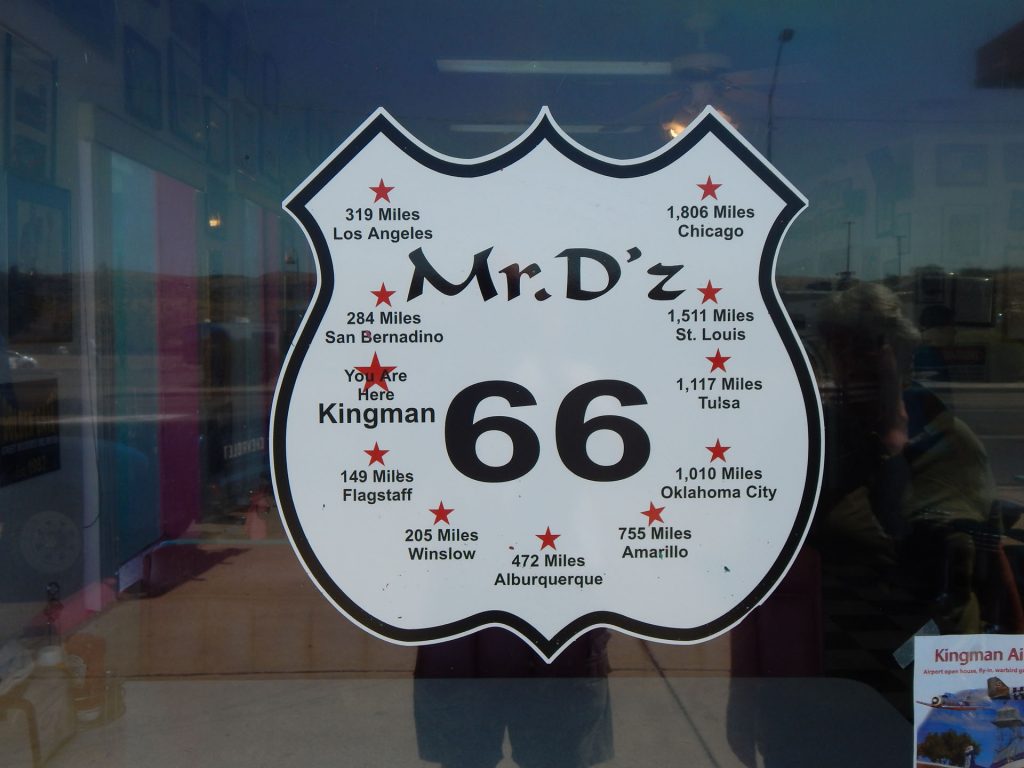
(and that was 635 miles from Morgantown!)
And we still have to go back to Chicago (1,806 miles) before going home.
Inside the diner was a trip back in time.
Nice menus! 
We decided to pass on the “Monster Burger” (upper right – 4 pounds of food!!)
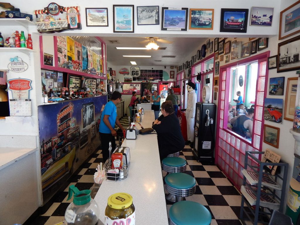
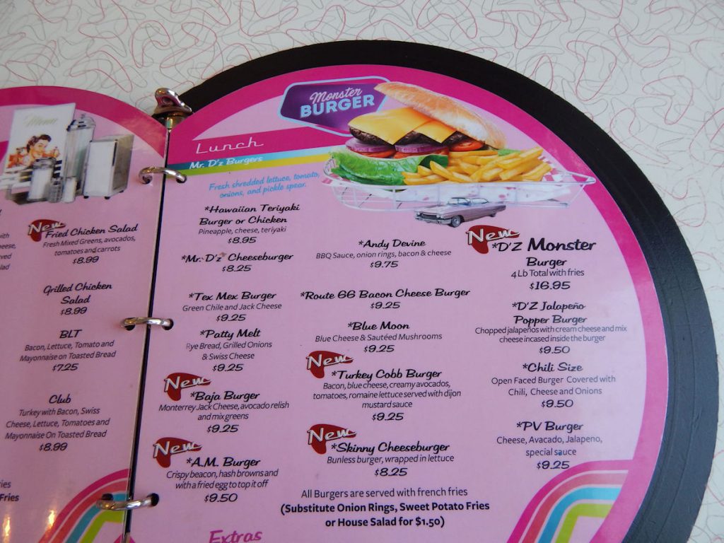
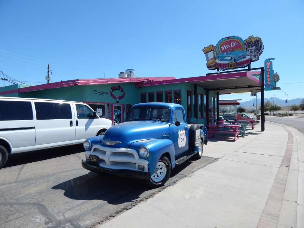
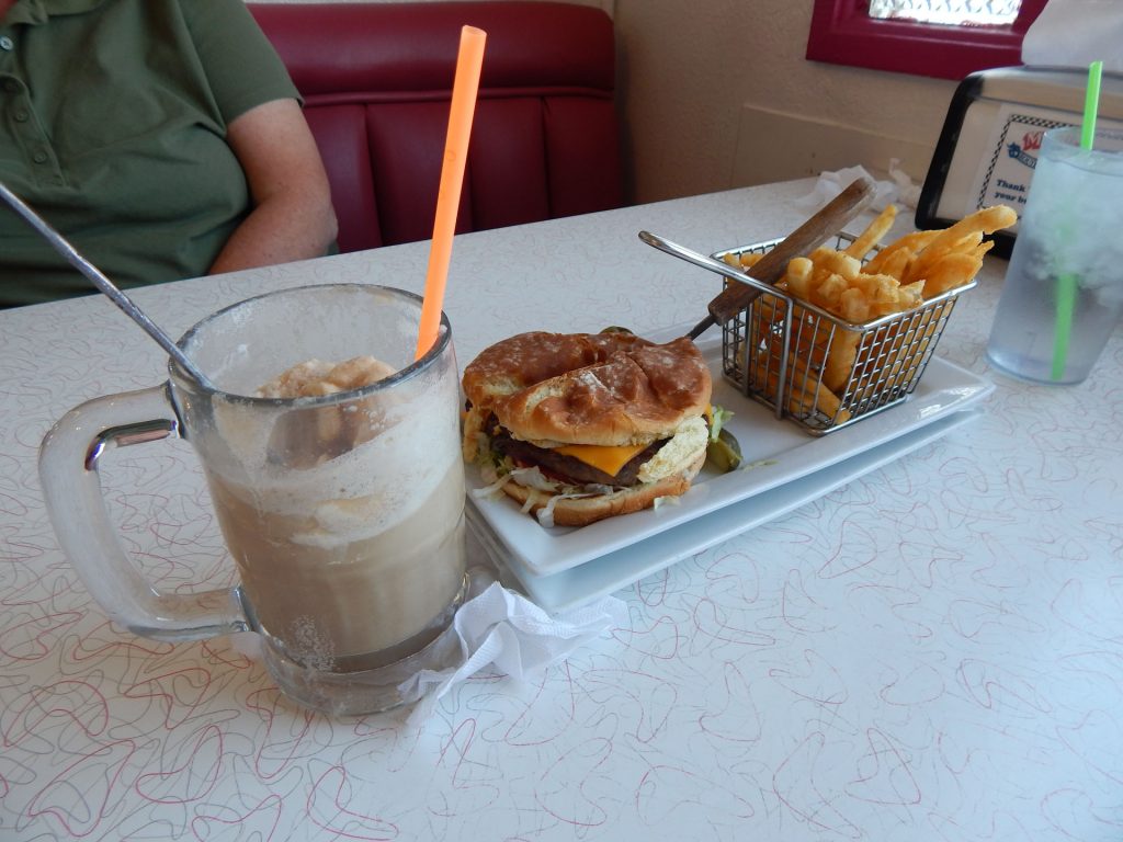
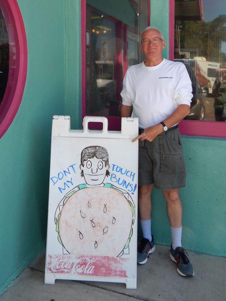
and decided to split a burger, fries, and root beer float.
Aren’t we boring! 
Lunch is served.  Mmmmm.
Restrooms marked by Elvis and Marilyn.
Hey – It’s Elvis again!  This guy gets around.  
I just saw you in Williams AZ.
Write your own caption here…..
Back on the road!  Goodbye, Rt 66!  Heading north on Rt 93 from
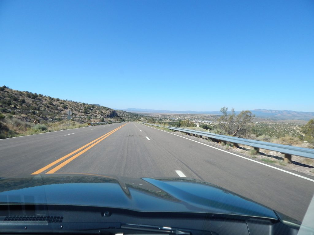
Kingman, Arizona to Las Vegas, Nevada.
As we approach Hoover Dam and the border of Nevada,
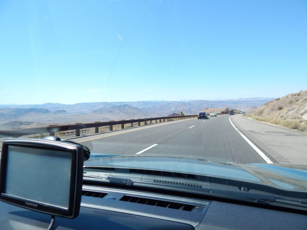
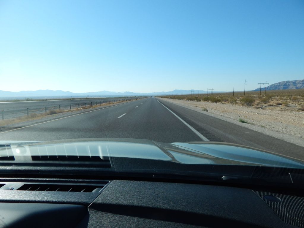
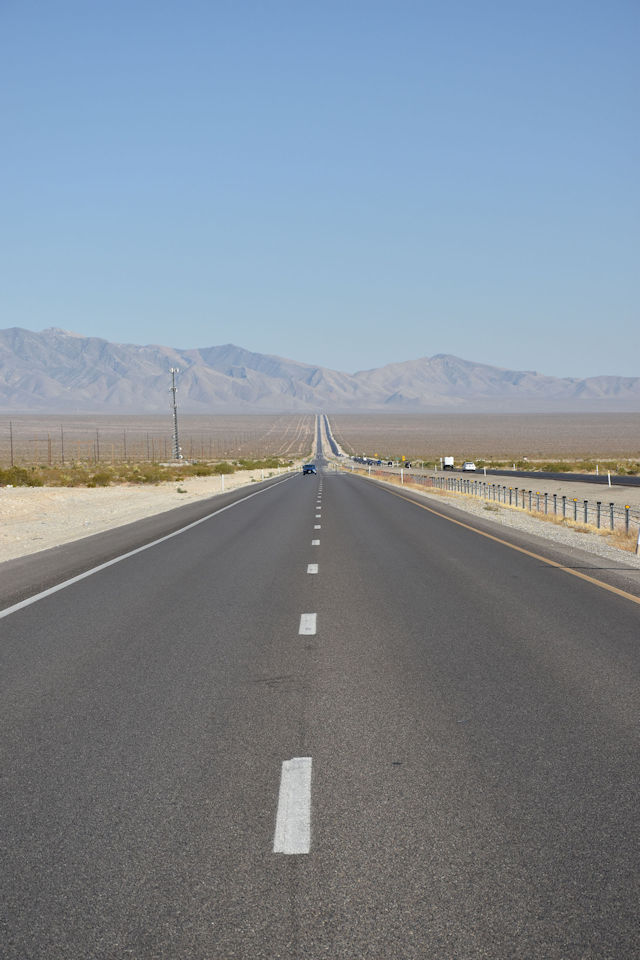
the landscape becomes more mountainous.
Black Mountains south of Hoover Dam.   
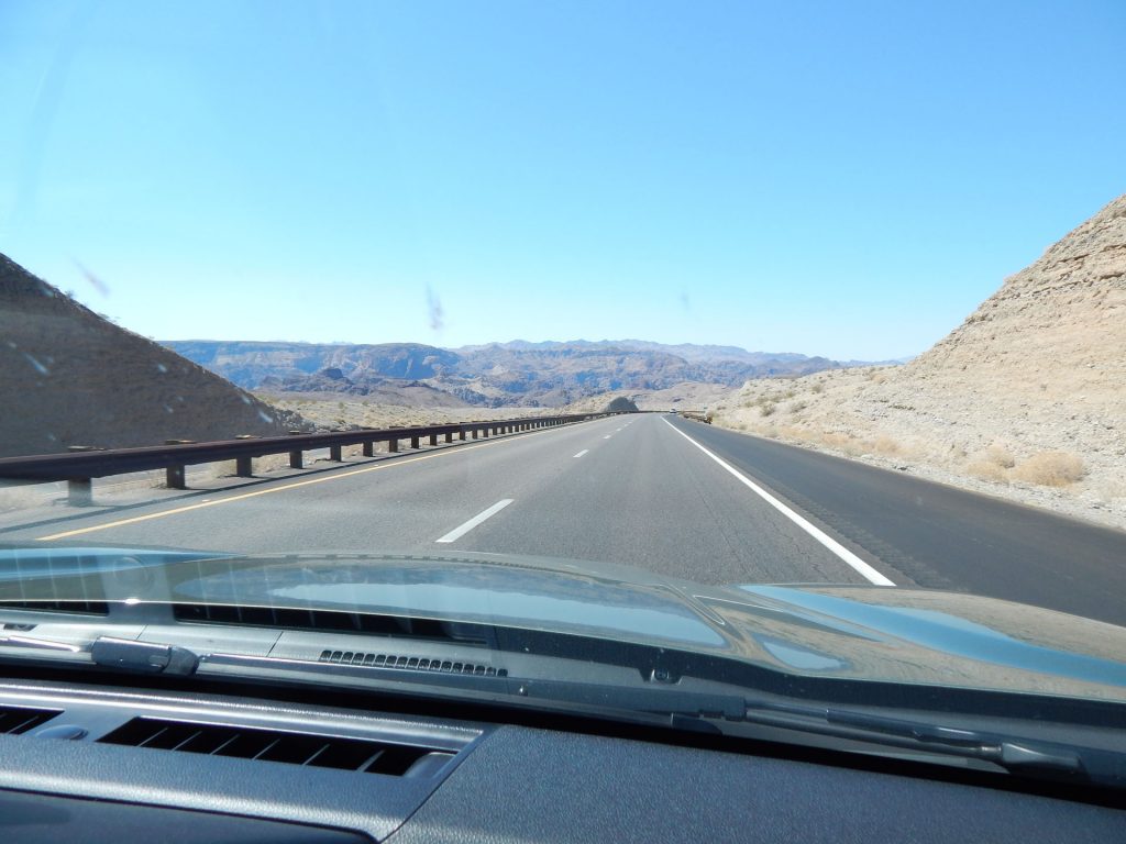
Time to clean the bugs off the windshield again. 
Up ahead, the Mike O’Callaghan – Pat Tillman Memorial Bridge crosses
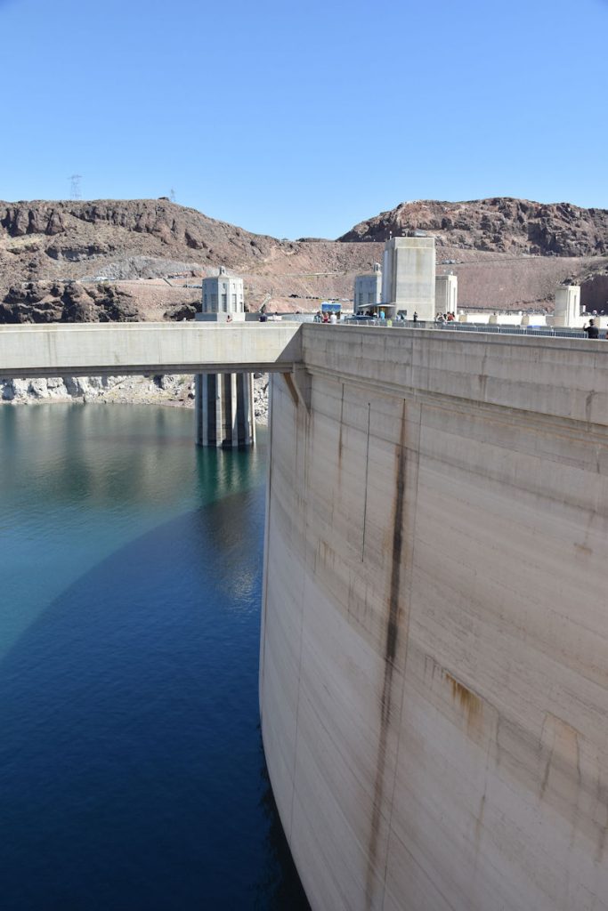
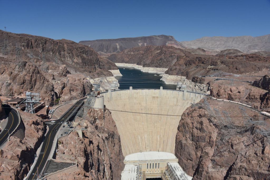
the Colorado River just below Hoover Dam.
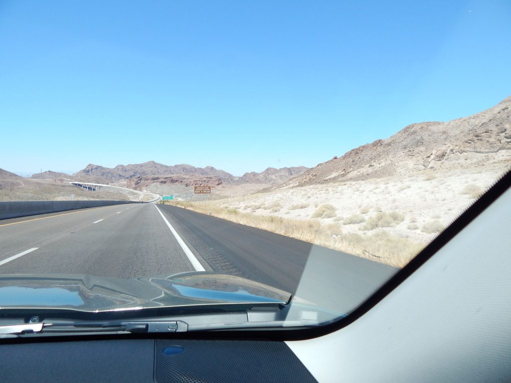
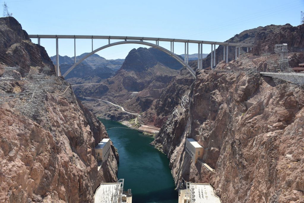
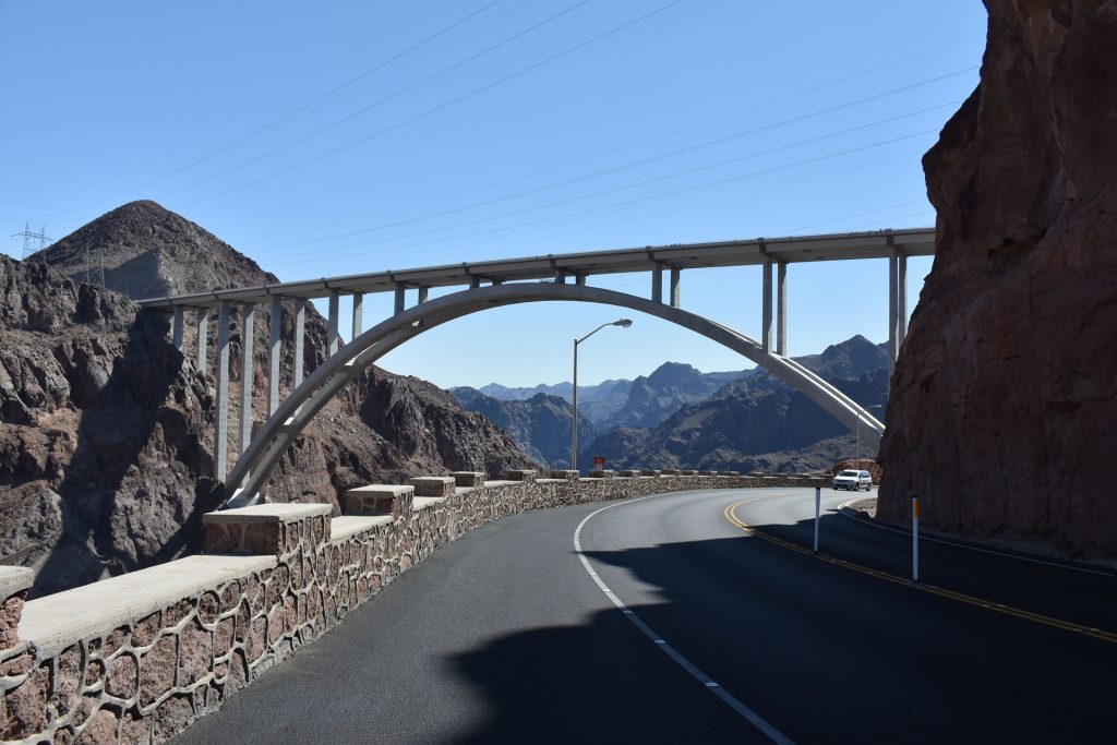
On the far end of the bridge is the border with Nevada.
Welcome to Nevada and the Pacific Time Zone! 
 
 
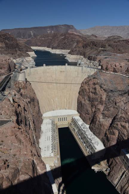
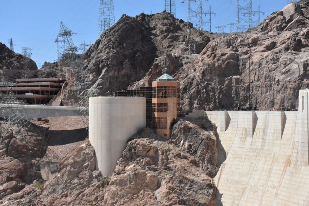
Just around the corner is the exit for the Hoover Dam, which is off to our right about a mile.
We’re going to circle around and take a look. 
View of Hoover Dam from the Mike O’Callaghan – Pat Tillman Memorial Bridge.

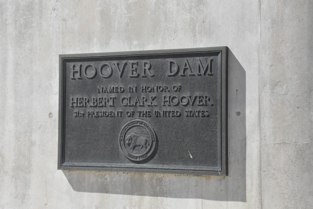
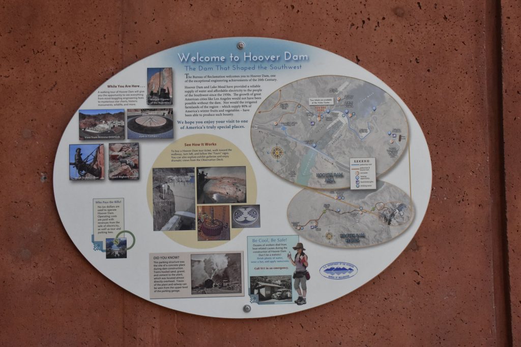
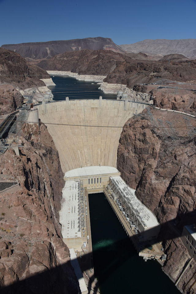
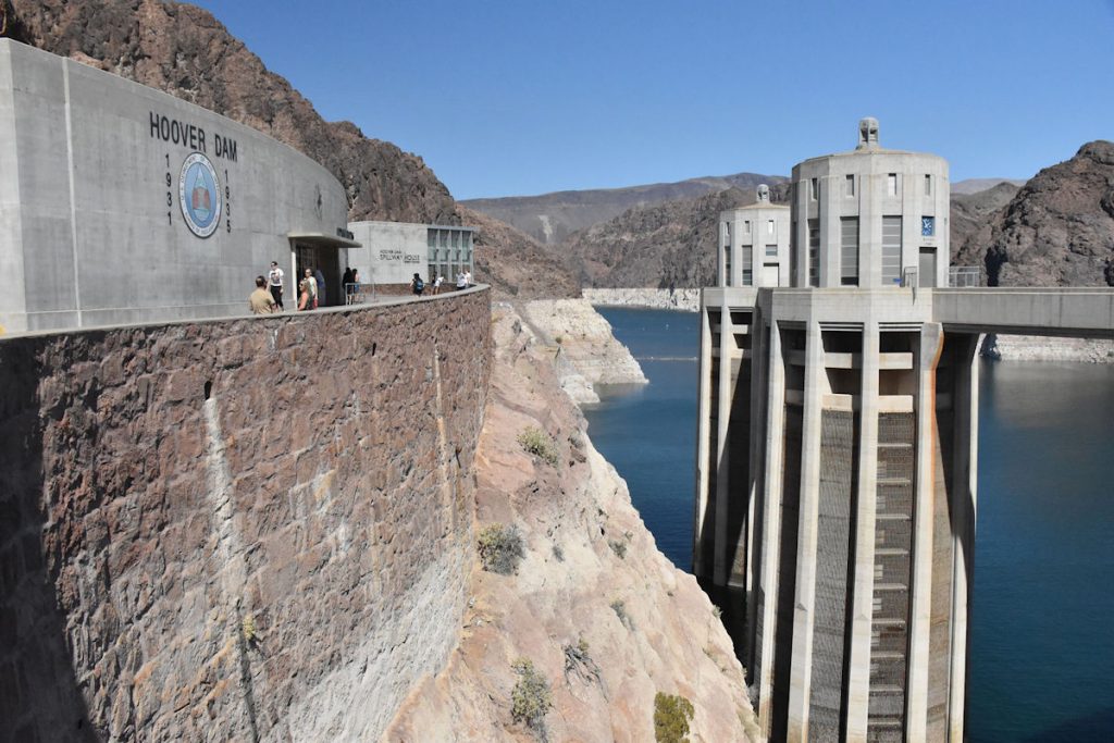
Hoover Dam was built during the Great Depression, with work starting in 1931 and completing in 1936 for the purpose of flood prevention, irrigation, and electric power. It impounds Lake Mead, the largest reservoir in the US when full.  The dam’s generators provide electricity for parts of California, Nevada, and Arizona.

For more information:  https://en.wikipedia.org/wiki/Hoover_Dam  

View along the top of the dam.  This used to be Rt 93 and all of the traffic flowed across the bridge. Quite a bottle-neck.
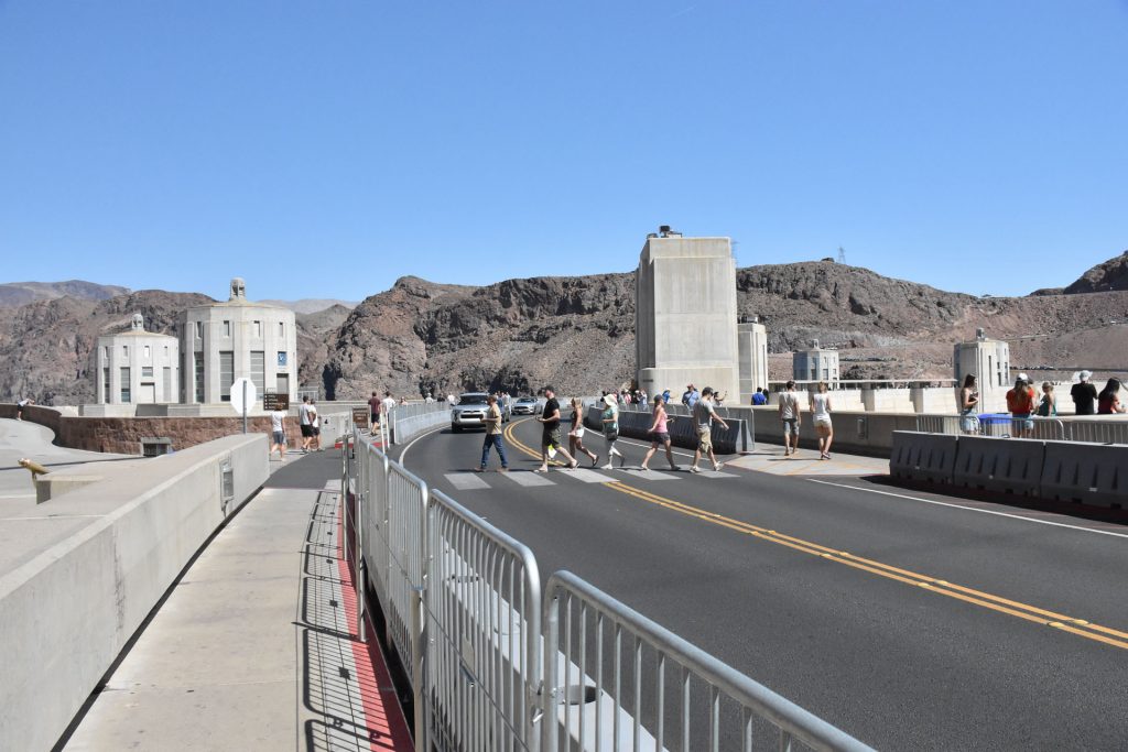
The 4-lane bypass opened in 2010 and created a much safer situation.
Two of the four intake towers are visible that feed water into the hydro-electric generators below.
View from the top of the dam.  Why the “bathtub rings”?
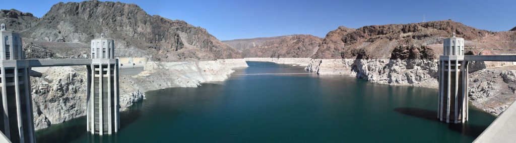
The dam was designed to maintain the reservoir at 1,219 feet.  The day we visited, the level was 1,080 feet.
At 1,050 feet, there is not enough water for irrigation and the hydro-electric plant must shut down.
At the mid-point of the dam is this plaque showing the border between
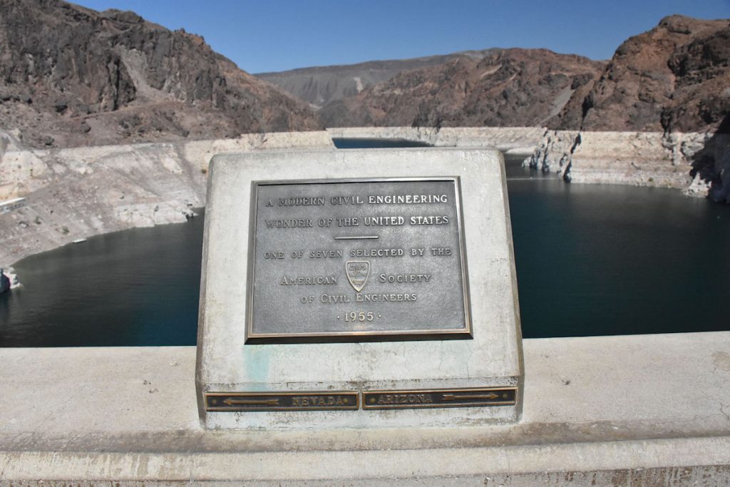
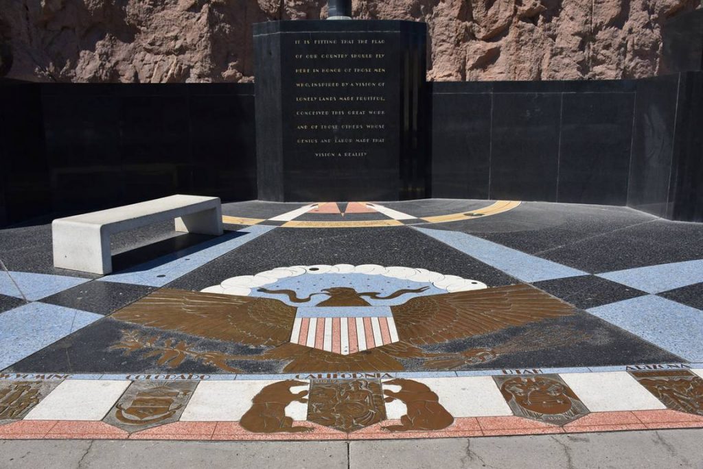
Nevada (to the left) and Arizona (to the right).
The parking garage (left) and Visitor Center (right) are visible from the dam.
The Mike O’Callaghan – Pat Tillman Memorial Bridge is visible downstream.
Another view of the upstream/reservoir side of the dam.  We need more rain.
One of many memorials along the dam.
There was a stray dog who was “everybody’s friend” at the construction site.
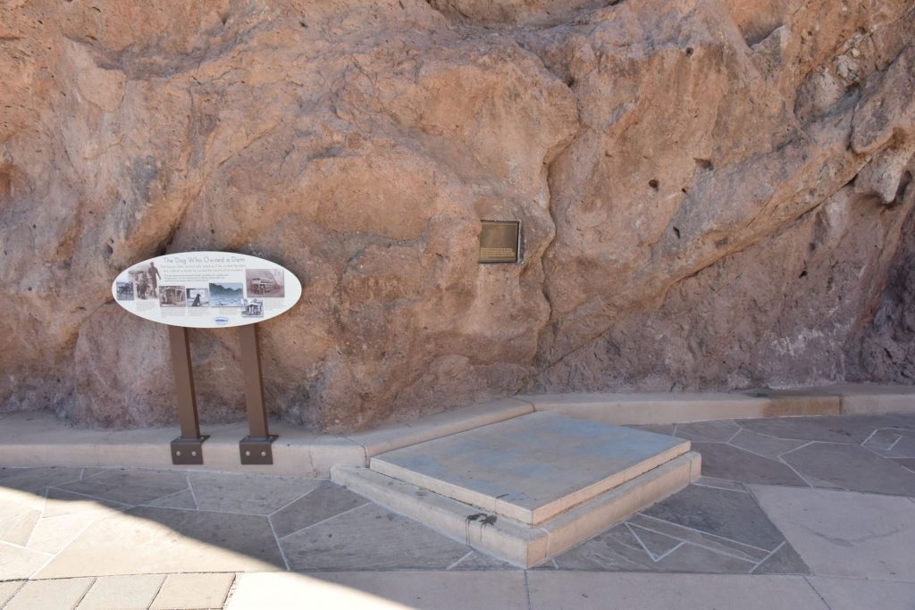
When he was accidentally killed by a truck, the workers buried him along the walkway at the dam.
One more view of the Mike O’Callaghan – Pat Tillman Memorial Bridge as we leave the dam. 
Before we got back on Rt 93, I walked out on the Mike O’Callaghan – Pat Tillman Memorial Bridge for a photo of Hoover Dam.
Heading west on Rt 93 toward Las Vegas.
As we approached Las Vegas, the traffic suddenly increased.
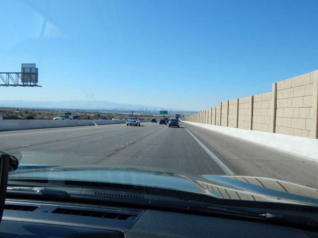
You can see the “Vegas Strip” up ahead.
Getting busier as we get closer to downtown.  
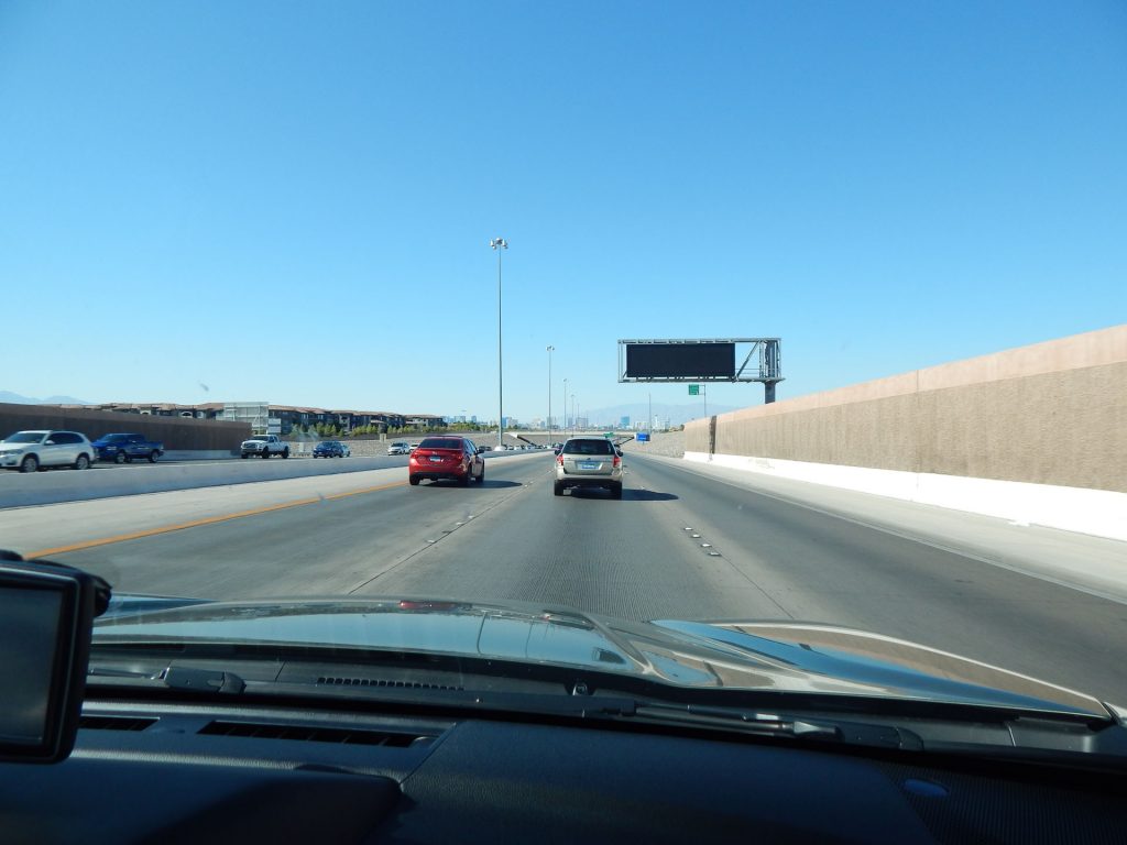
Beth and I decided before the trip that neither of us cared to stop.
Once we got past Las Vegas, things quieted down again.  Here, we are on Rt 160 heading to Pahrump, our stop for the next 2 nights.
We’re getting closer to Pahrump and Death Valley,
and it looks like both of us imagined.

Welcome to Pahrump, Nevada.  It’s near the entrance to Death Valley.
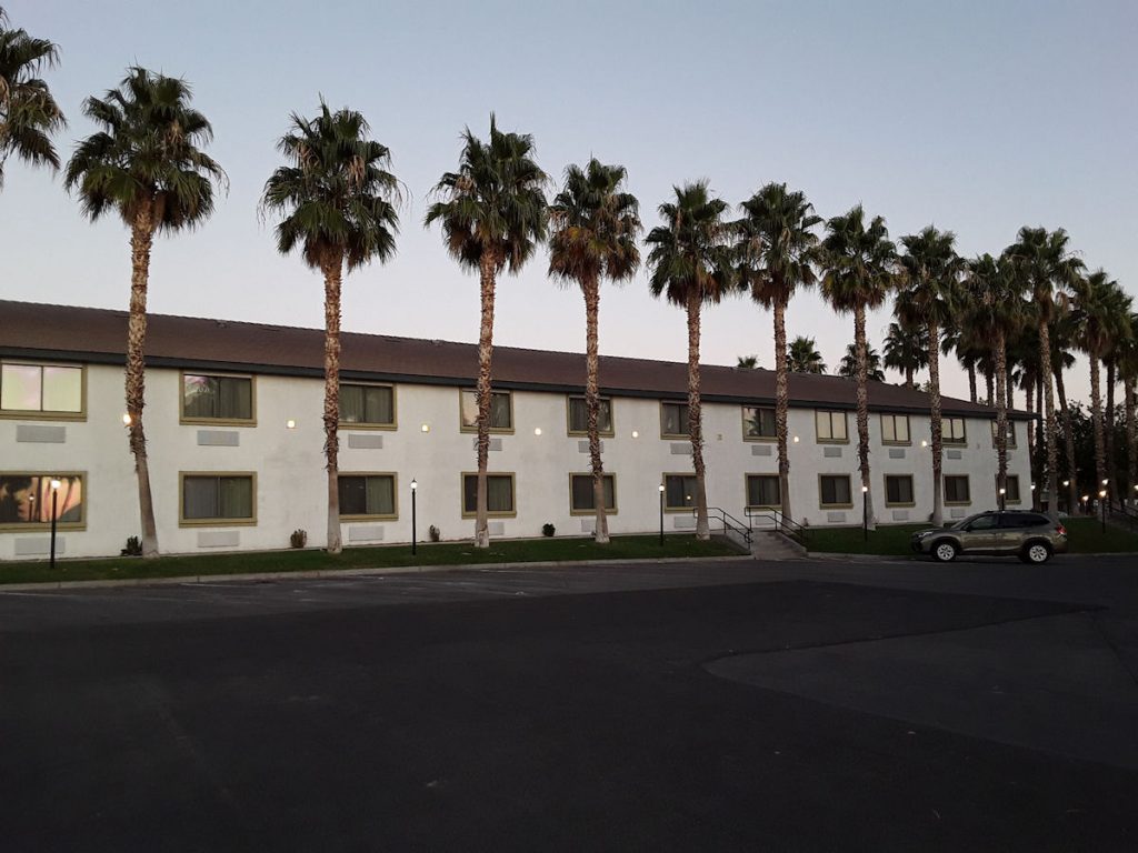
Our home for the next 2 days.

We lucked out and got a very nice hotel for the 2 nights we were here.
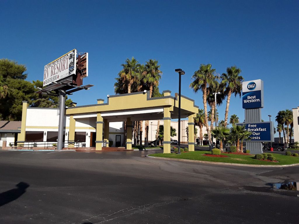
It pays to do research (Trivago) and read reviews.  
Overall, we have been very pleased with the hotels.
It was such a nice evening, we decided to go for a walk.  Not far from the hotel was
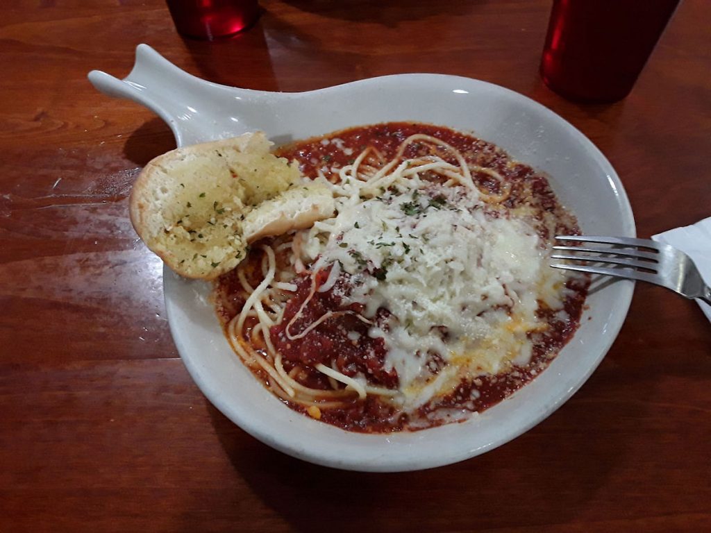
a small and simple Italian restaurant.
Their special tonight was spaghetti.  We each had a small bowl, which was plenty. 

One thing we noticed on our walk is that Pahrump seems to be a popular destination for “snowbirds” to bring their RVs and camp the entire winter.  There were RV parks filled with campers that already looked “semi-permanent”.  The town really is nice, with lots of restaurants, shopping, and even a Wal-Mart!  If we ever retired to the Southwest, Pahrump would be at the top of the list.

We got back to the hotel as the sunset colors appeared. 
 
Tomorrow, we will get an early start to go explore Death Valley. 
The car is full of gas (and drinking water and sunscreen) so we’re ready to go.
 
Thanks for joining us today.  See you in the morning!


Mileage Today:  297 Miles
Trip Total:   2,934 Miles

PROCEED TO DAY 13 – EXPLORING DEATH VALLEY

RETURN TO SOUTHWEST MASTER INDEX