Southwest – Day 13

Southwest USA

Retirement Trip

September 2019

29 Days – 6,500 Miles – 19 States

7 National Parks

Several State Parks – 6,000+ Photos

1 Trillion Insects Squished by Car Windshield

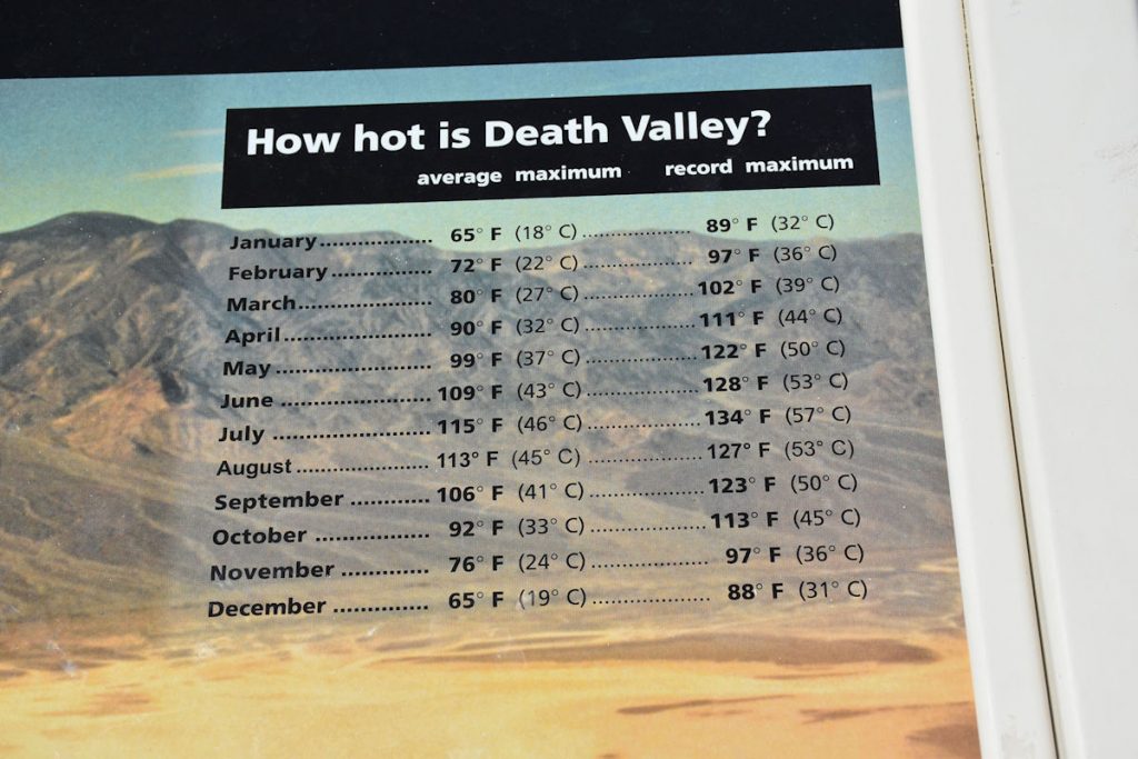
 From 108 Degrees to Snow

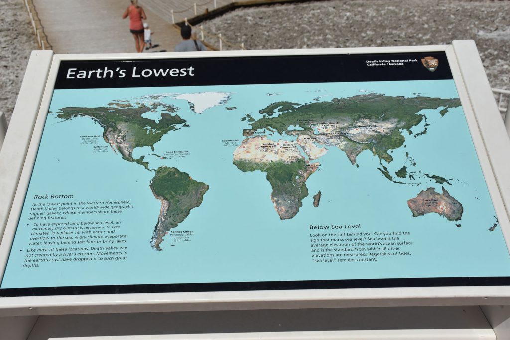
From 282 Feet Below Sea Level to 12,000+ Feet

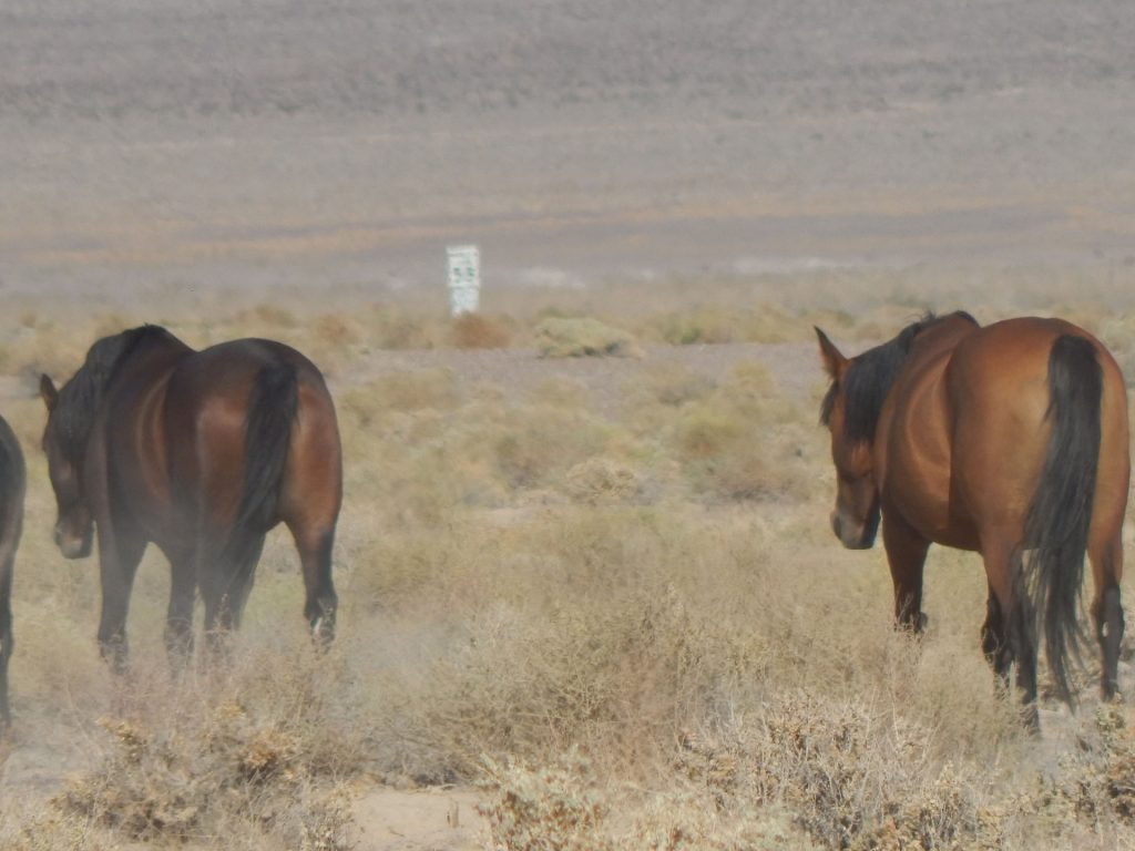
Bison, Elk, Prairie Dogs, Lizards, Wild Horses

Elvis, Aliens, John Wayne Westerns

Walking In The Footsteps of Forrest Gump

And More! 

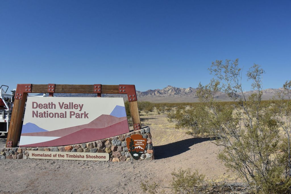
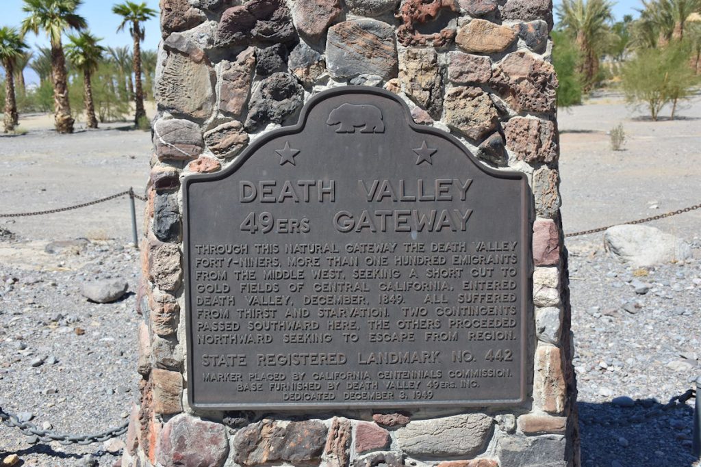
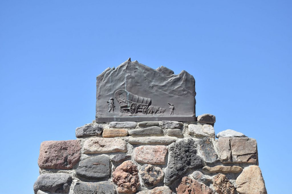
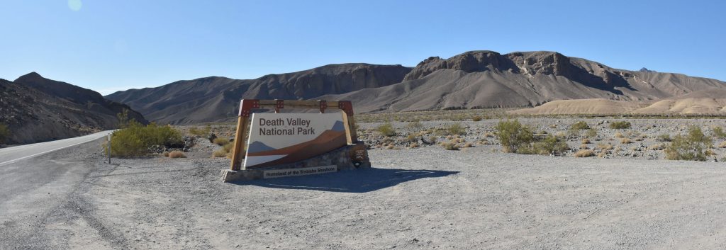
Exploring Death Valley

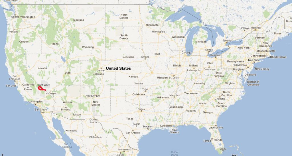
One of the highlights of this trip was Death Valley.  Ever since I was a kid in the 60s watching Death Valley Days on TV, I’ve been fascinated with that area of our country.  Since we started planning our trip to the Southwest years ago, Death Valley was on the “must see” list.  

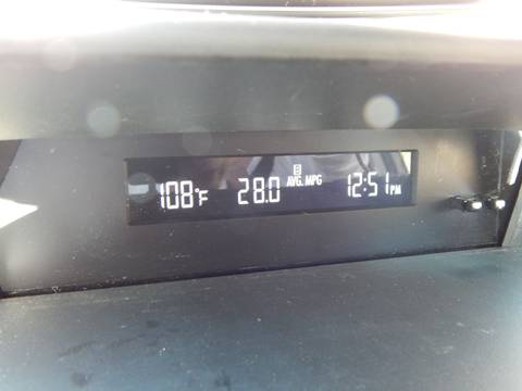
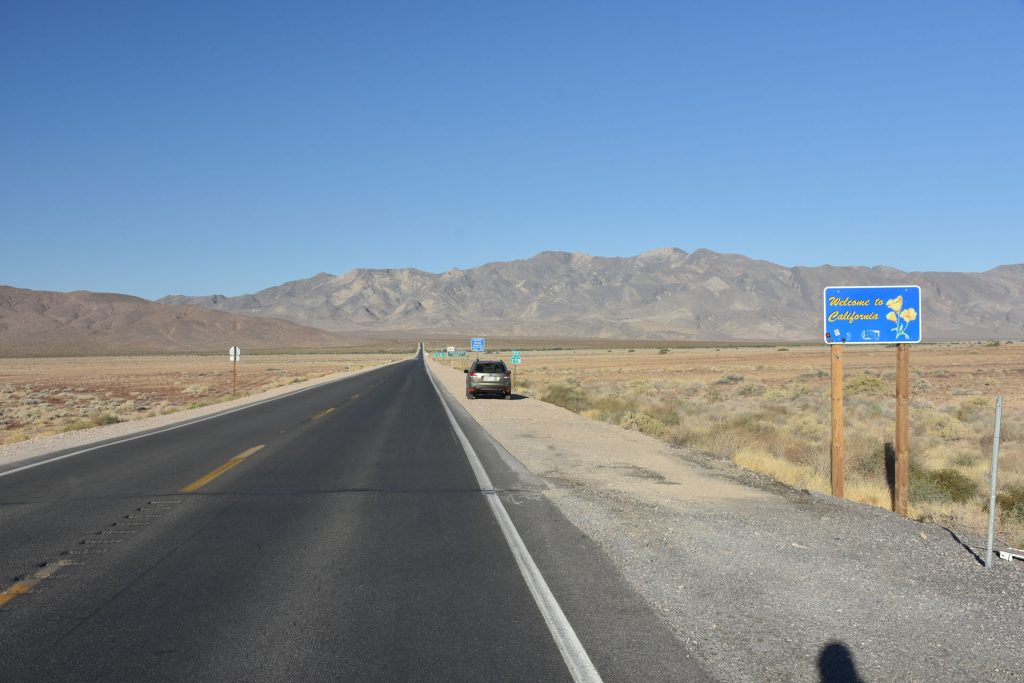
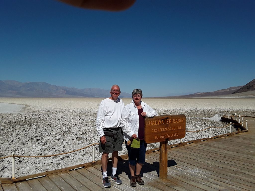
It is also the farthest west we go on this trip, about 50 miles into California (another first for both of us).  Today, we broke two records for this trip:  the lowest elevation ( 282 feet BELOW sea level) and highest temperature (108F). 

Let’s go!

After a great night’s sleep, we were up early for a delicious breakfast (free!) at the hotel. 
 
 
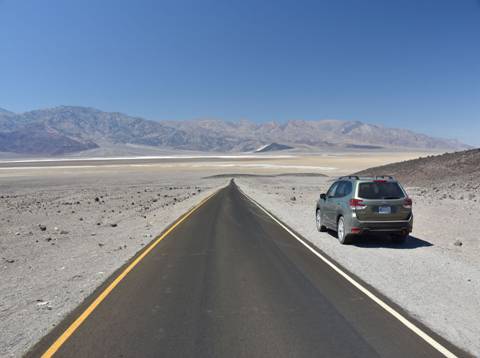
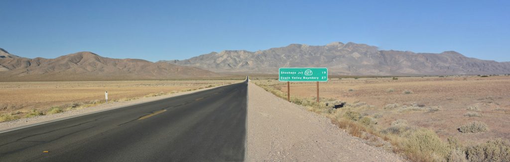
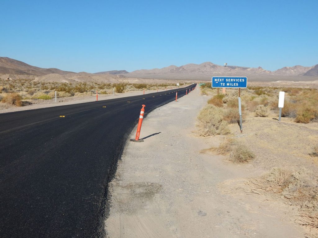
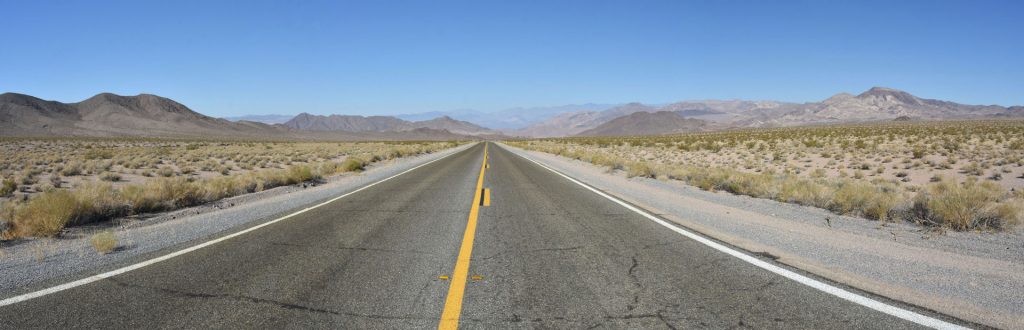
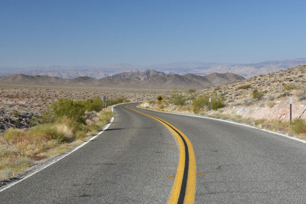
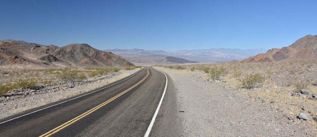
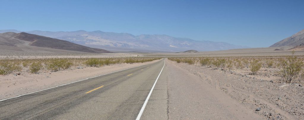
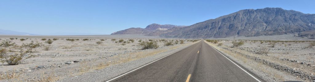
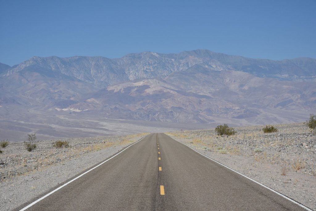
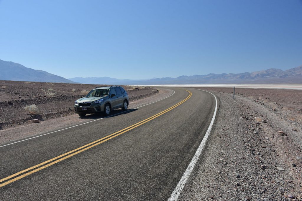
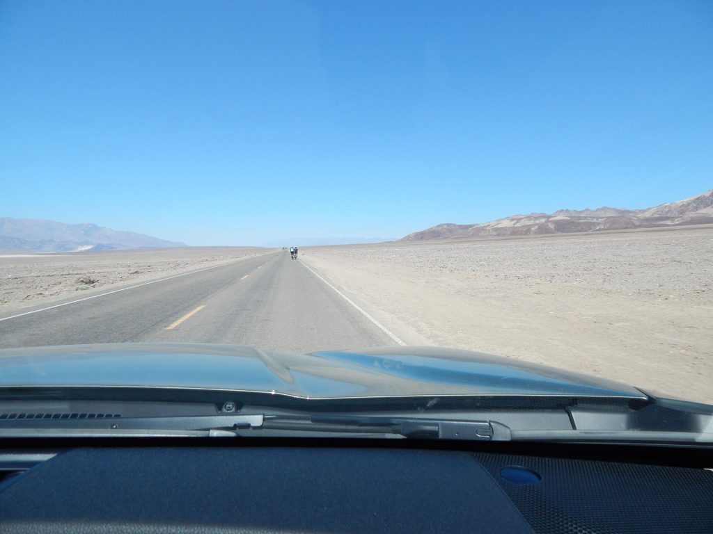
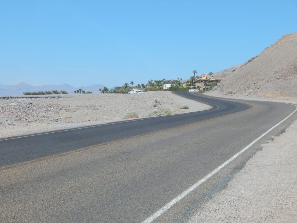
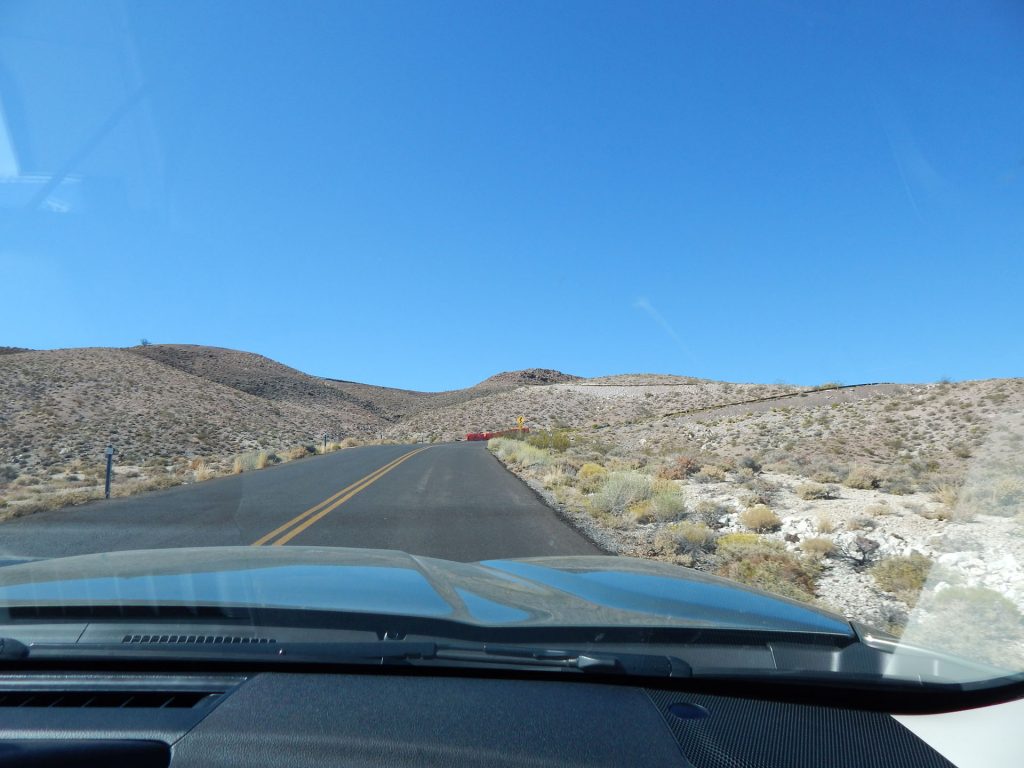
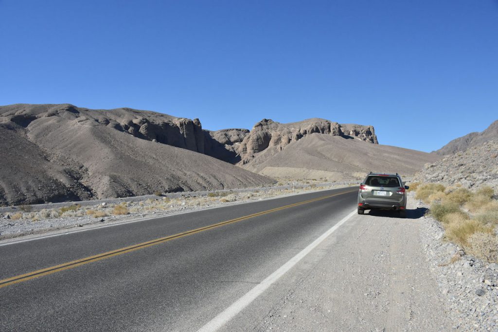
We were on the road by 7am.  If you’re heading to the hottest spot on earth, it’s best to get there early in the day.
About 10 minutes from the hotel, we passed into California.
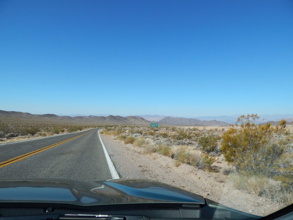
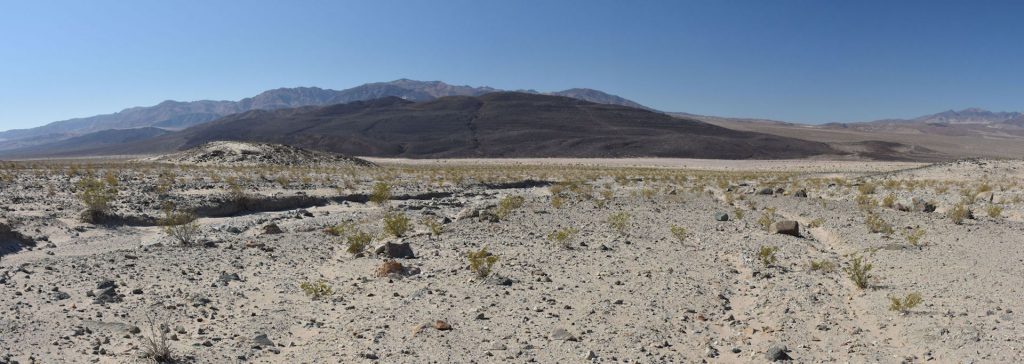
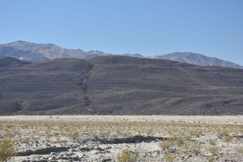
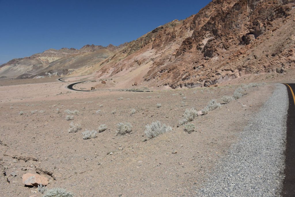
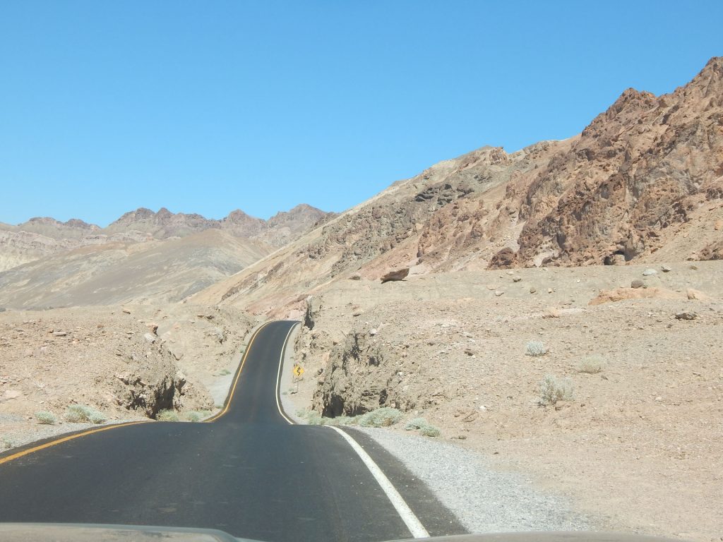
Death Valley is on the other side of the mountains ahead.
Just a little farther down the road, the sign tells us we are only 27 miles away from Death Valley.
Getting closer to Shoshone Junction and the entrance to Death Valley National Park.
We had a rest stop in Shoshone, California before we entered Death Valley NP.
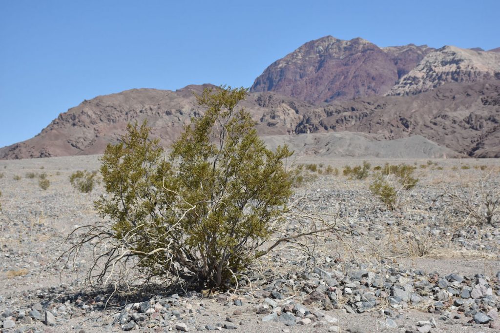
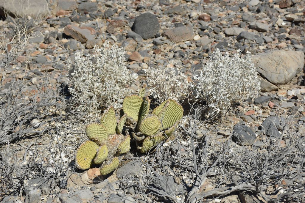
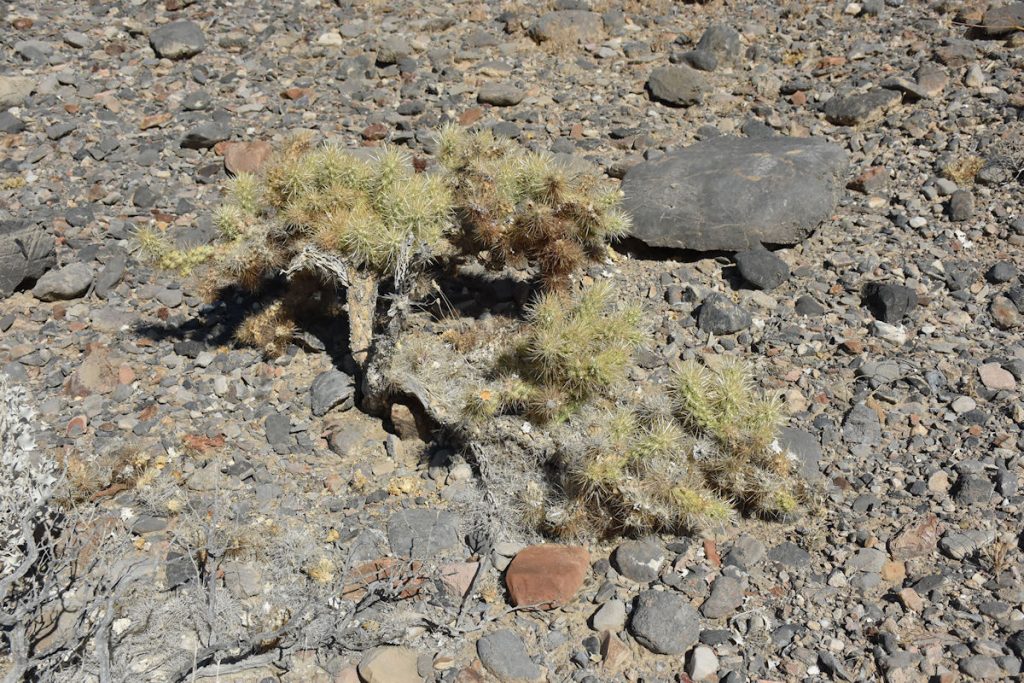
Beth was admiring the plants and flowers.
Beth told me she has some of these at home and they are only a fraction of this size.
How can they grow so much bigger in Death Valley?   LOL
As we near the entrance to Death Valley NP, this sign reminds everyone to “be prepared”.
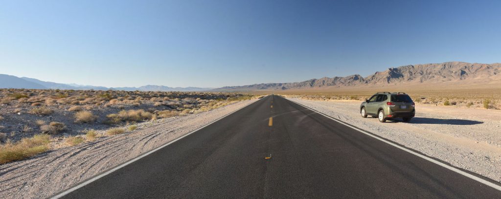
We have a full tank of gas, plenty of drinking water and Gatorade, snacks, and a car emergency kit with fluids and tools.
Tire pressures are all good (including the spare).   Let’s go!
After almost 3,000 miles, we’re here!  It’s only 8am but it’s getting pretty warm already.
Today, we will be exploring the southern half of Death Valley – the area inside the red box.
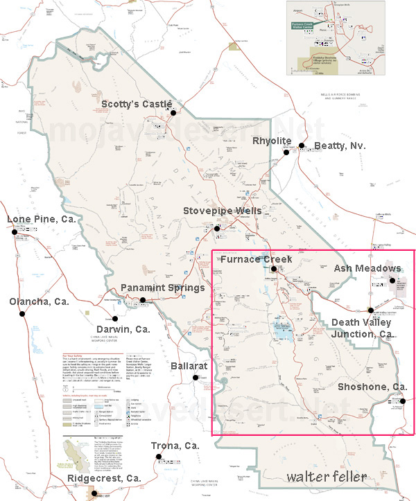
The northern area around Scotty’s Castle will be closed until 2020 due to flood damage.
The next photo shows that box in more detail along with our route.
We drove a clockwise loop through Death Valley today, starting in Pahrump and Shoshone in the lower right corner.
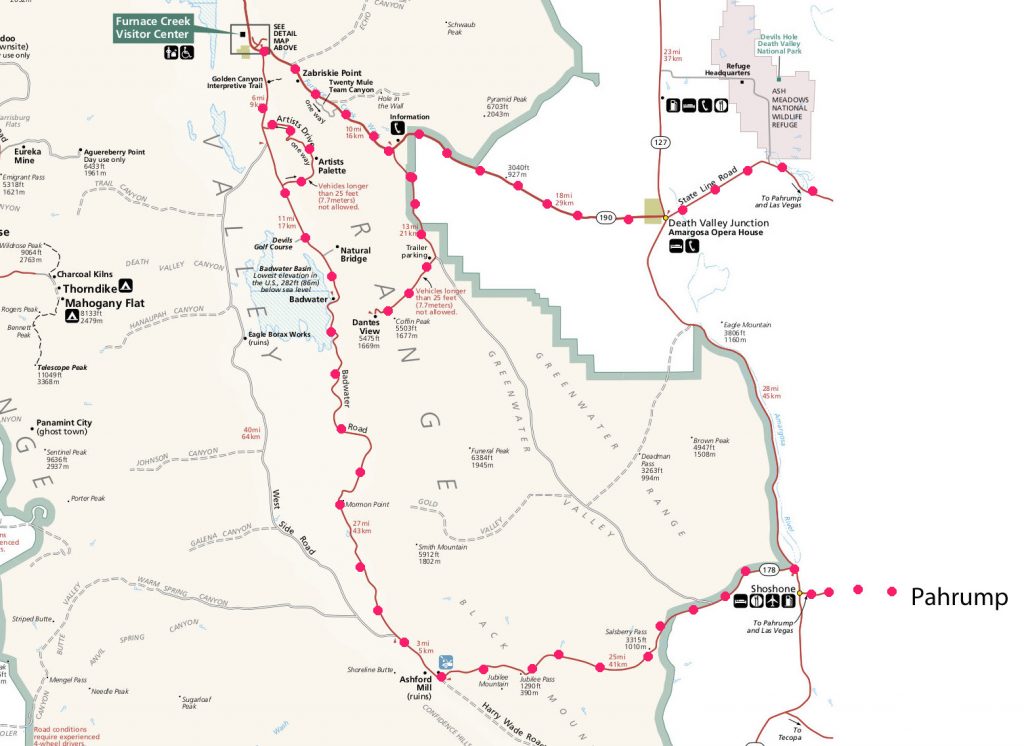
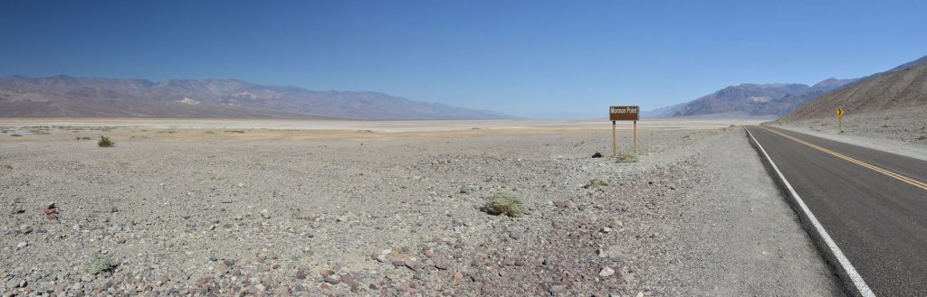
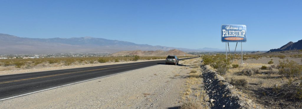
After reaching the Furnace Creek Visitor Center, we continued clockwise (east), taking a detour to Dante’s View before returning to Pahrump.
Following Rt 178 westbound toward Salsbury Pass.  (Depending on your map, it is also spelled Salsberry – take you pick)
At Salsbury Pass.
The intrepid photographer.
Periodically, there are elevation markers.  We are at 3,000 feet now and quickly descending.
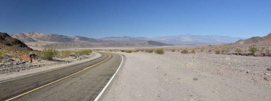
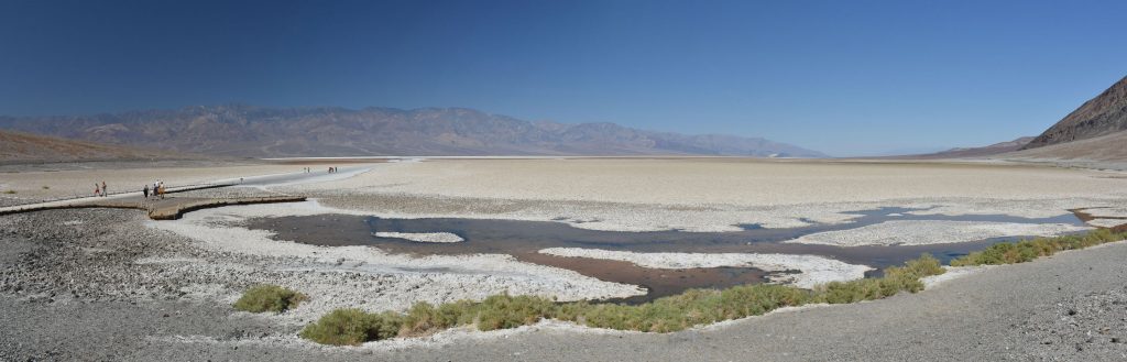
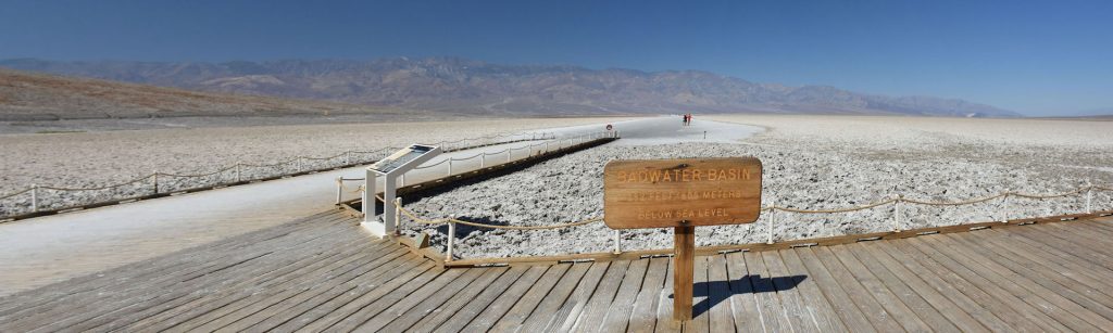
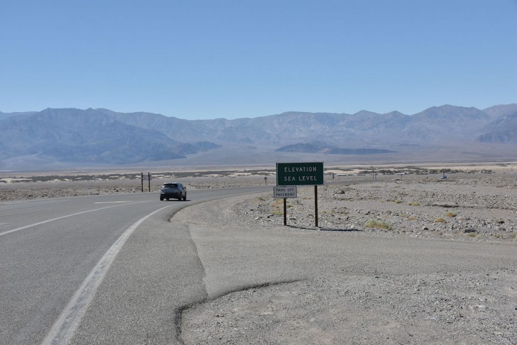
Within a half hour, we will be at Badwater and 282 feet below sea level.
Getting closer to the actual valley floor.  Still descending.
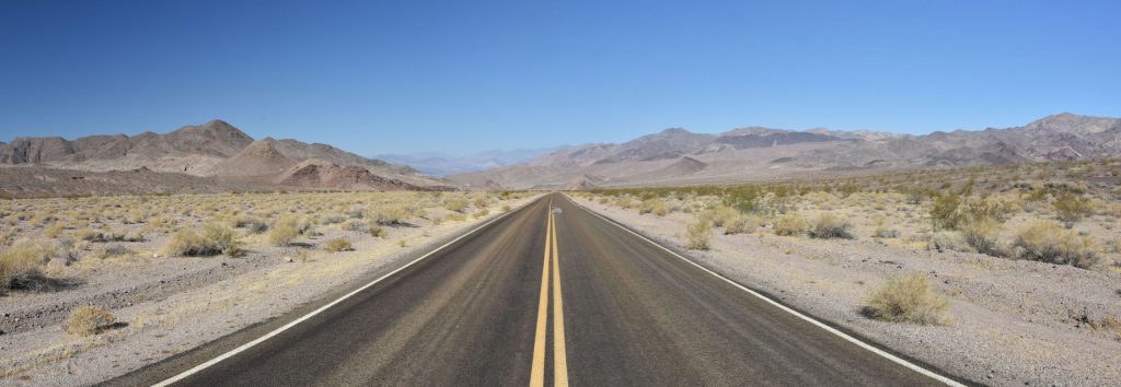
I’ve hardly touched the gas pedal since we have been coasting downhill the past 5 miles.
What is that in the road ahead? 
It’s our first tumbleweed of the trip! 
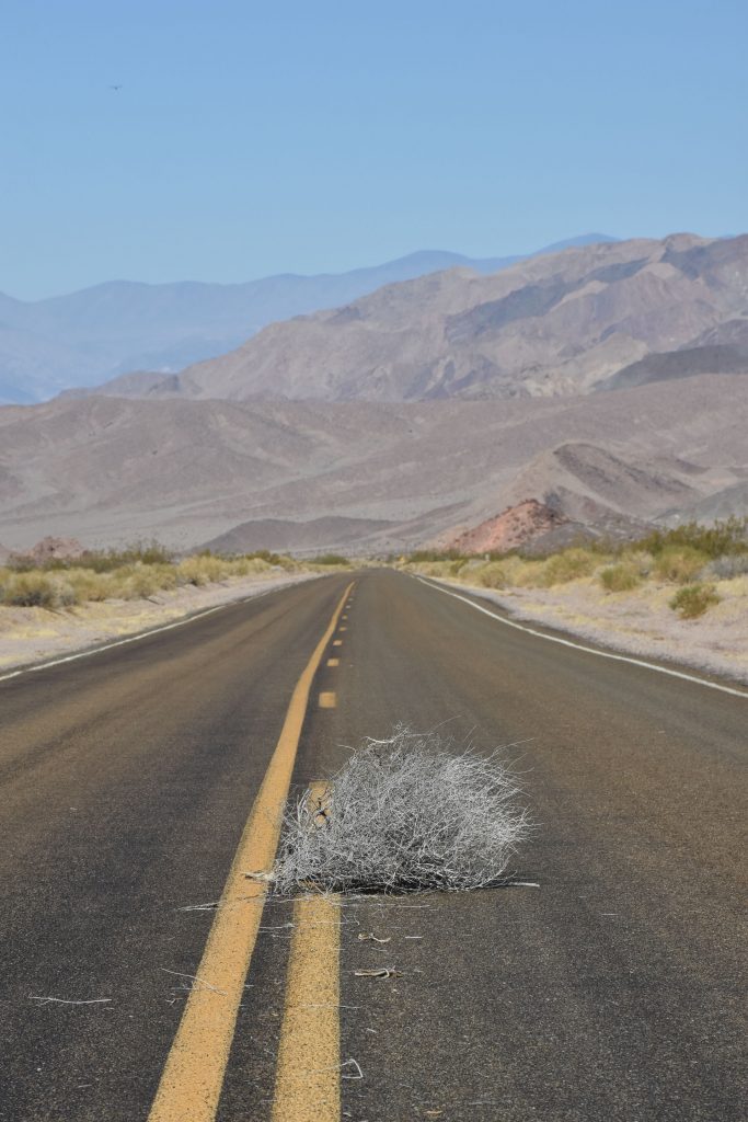
An honest-to-goodness old west tumbleweed in Death Valley.  
How cool!
These tumbleweed photos don’t take themselves.  
Someone has to go out the intense heat and do the dirty work.  Ha!
Soon, we are at Jubilee Pass.  Down to 1,293 feet elevation, and still dropping.
Panorama of Jubilee Pass. 
As we come around the next big corner after Jubilee Pass, the valley floor is visible up ahead.
Just a few miles ahead, the road turns north and we are officially on the floor of Death Valley. 
Our first stop today is the Ashford Mill Ruins.   
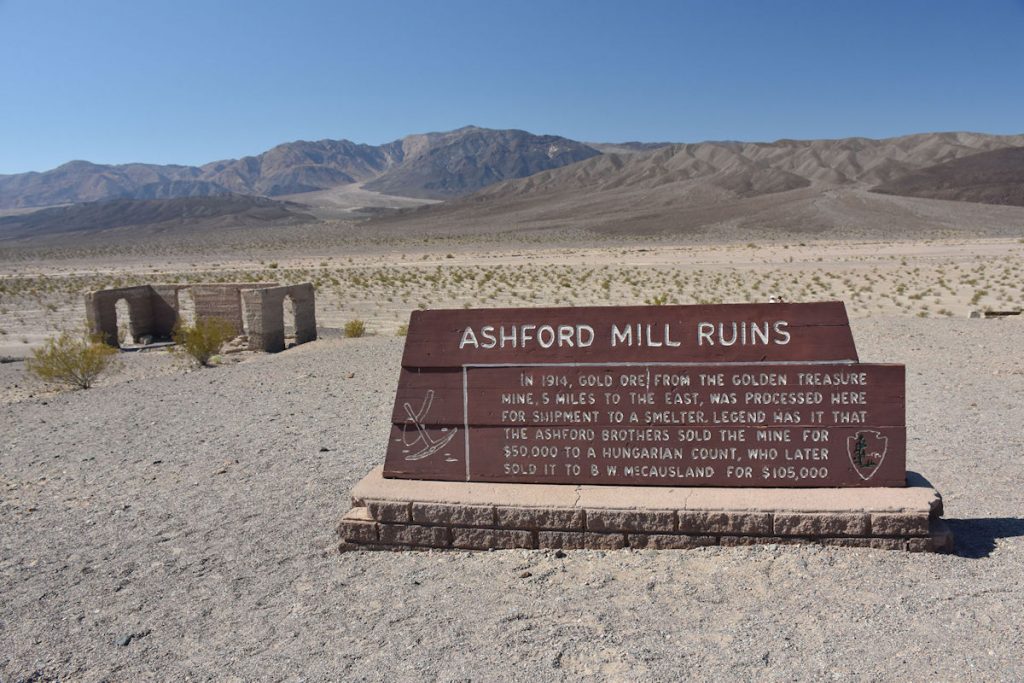
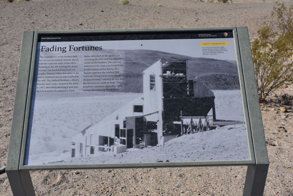
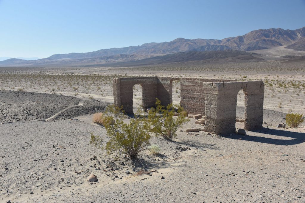
Like many mining operations in Death Valley, it was unsuccessful.
The story of Ashford Mill.
Ruins of Ashford Mill.  Oh, the stories those walls could tell.
All of this empty space – where do you go to the bathroom?  Well………
Just a short distance up from Ashford Mill was this interesting sign.
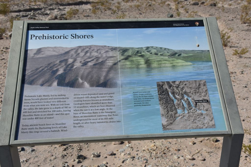
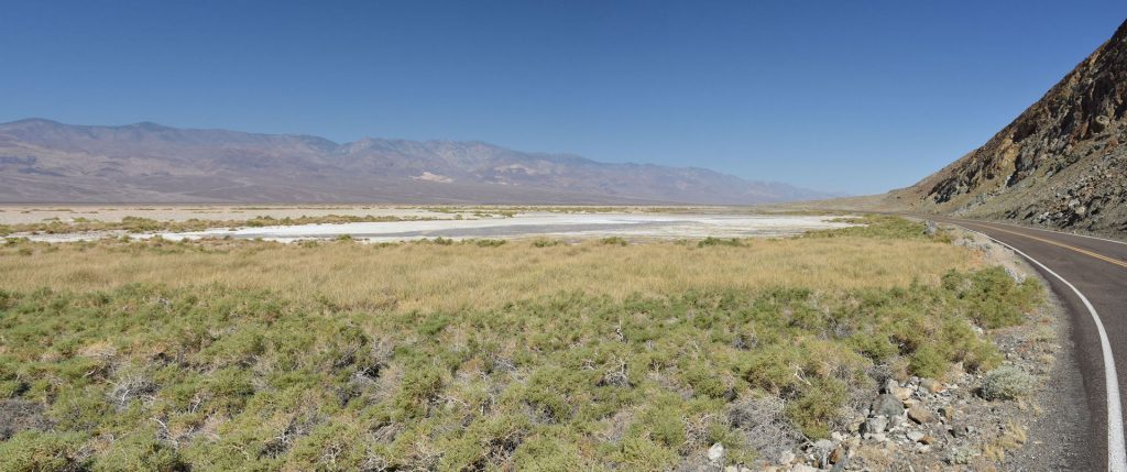
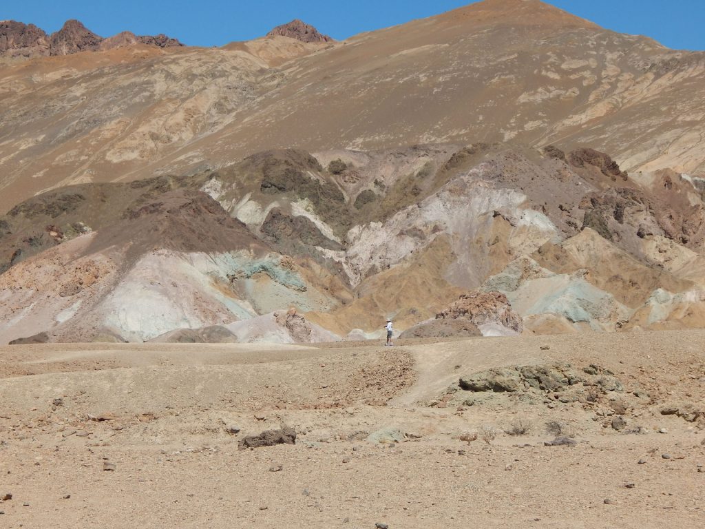
Millions of years ago, this was a lake up to 600 feet deep.
The different water levels are evident on the side of a nearby hill. (See next photos)
View of the hillside from the road.  (From previous photo)
A closer view of the hillside shows lines left from varying stages of the lake’s life.
As we approached Mormon Point (northbound), we reached the south end of the salt flats that cover the next 20 miles of Badwater Basin.
Mormon Point is actually the name of a nearby geological formation – a “turtleback” or large promontory or cape where there are
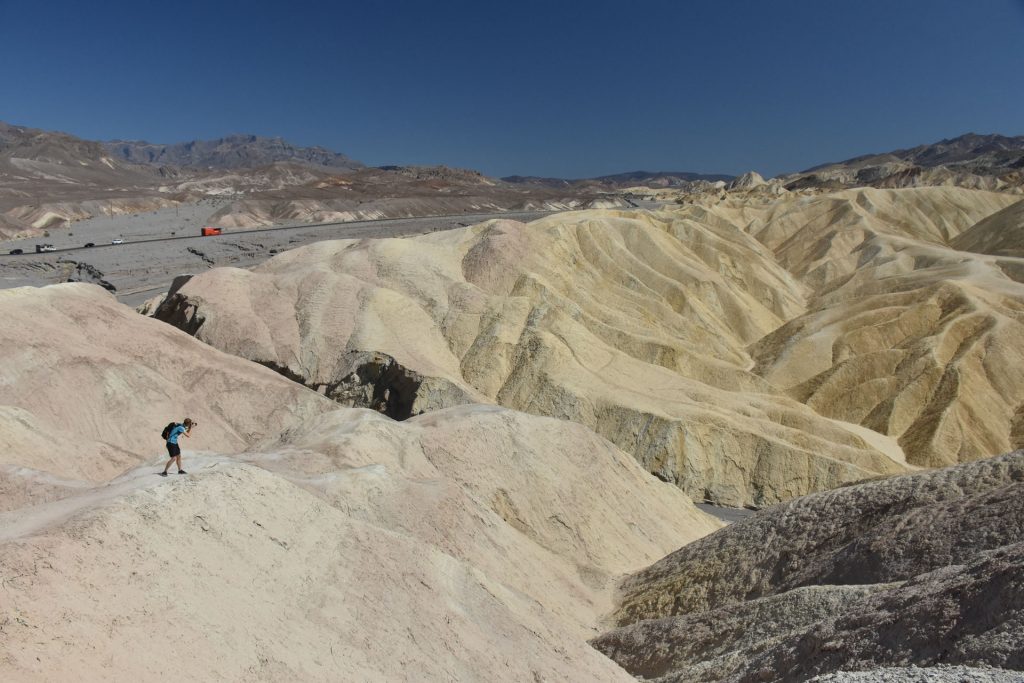
ash beds, mudstones and conglomerate rocks.  It is a popular, but difficult hiking trail.
Continuing north into Badwater Basin, it is warming up quickly.
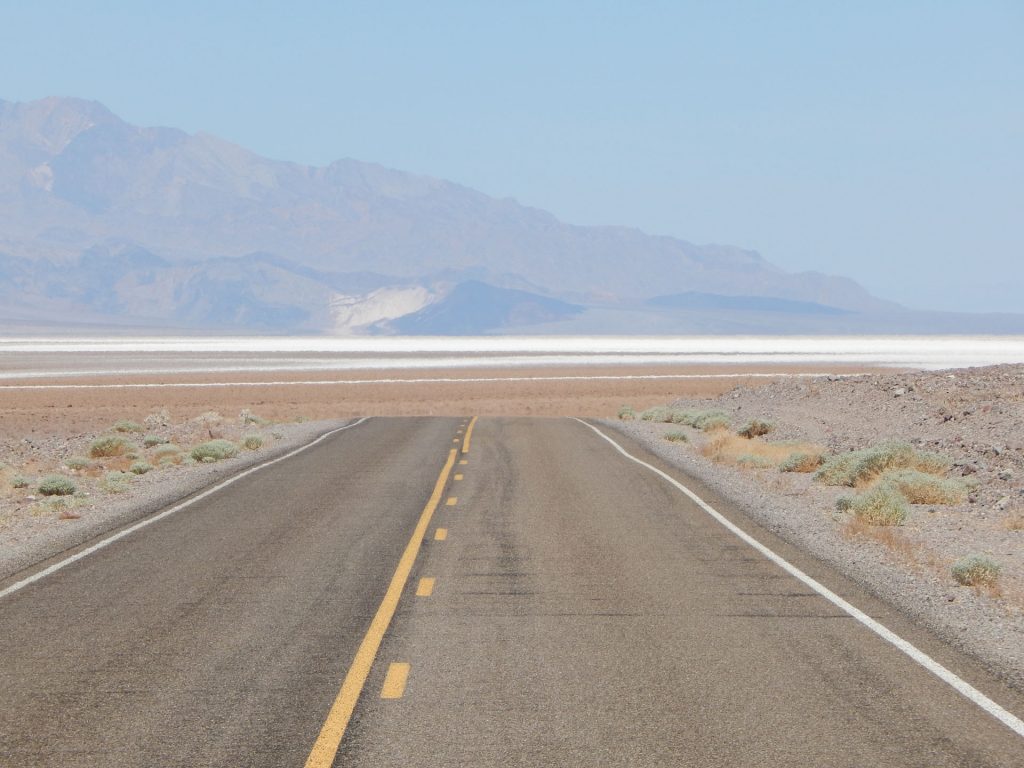
Here, you can see the heat waves coming up off the road.
Entering the southern reaches of Badwater Basin.
Up ahead, to the right, is Coffin Peak and Dante’s View.  We will be visiting there later for great views!
Badwater Basin area.  Looking at the colors in the mountain ahead, we can only imagine how interesting this would be for geologists. 
We are both fascinated even though we know very little about geology.
What plant life there is is very hardy.  Small plants that do not require much water thrive better than larger, “thirsty” plants.
Like plants, it’s the small animals that thrive in this harsh environment with little water. 
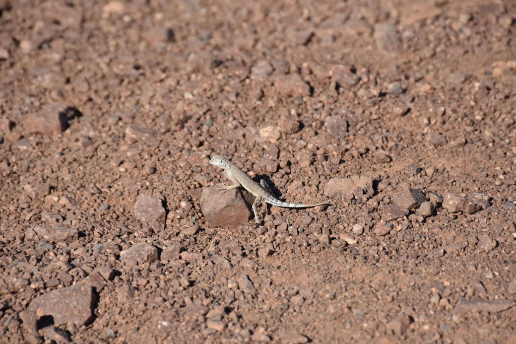
This little guy is only about 2 inches long (including tail).
Looking out over Badwater Basin.
Our trusty Subaru Forester didn’t even break a sweat.  
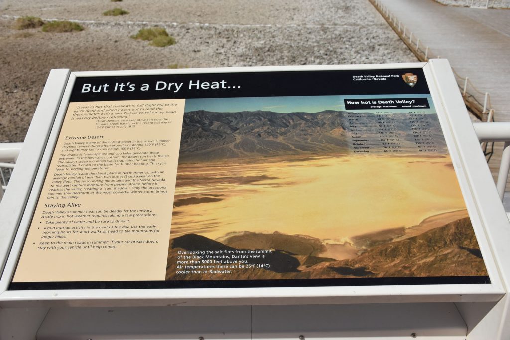
Nice, cold A/C ran continuously and the temperature gauge never went above normal.
Our next stop is Badwater Basin.
This spot holds several records.   Read on…..
Badwater Basin – the lowest spot in North and South America at 282 feet below sea level. 
Mt. Whitney the highest point in the 48 contiguous states (14,505 ft), is only 84 miles away.
It also holds the record for the highest temperature ever recorded on earth in 1913!   134F
We were there! (And I got a t-shirt)
This sign explains the reason for the name “Badwater”. 
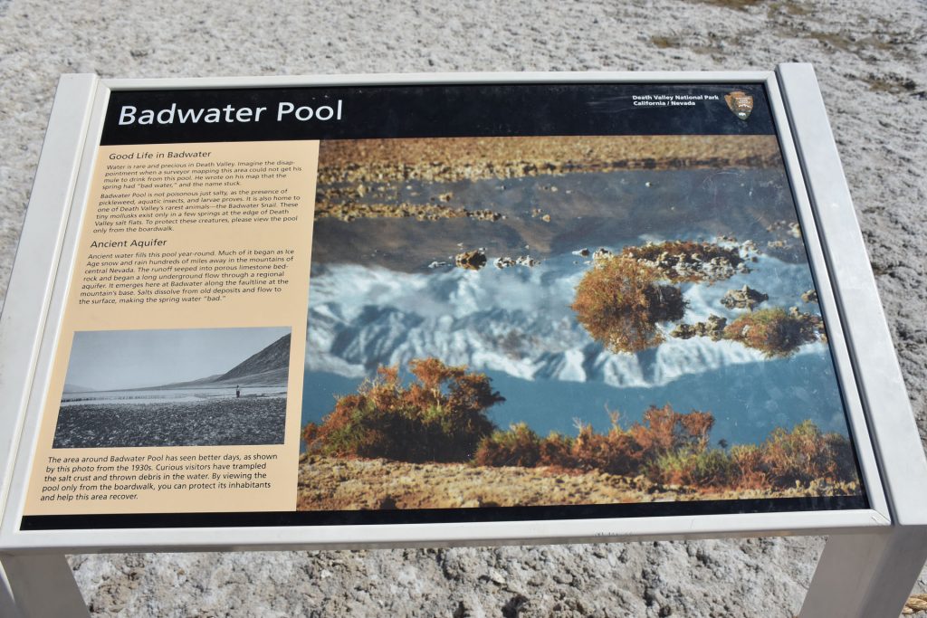
We did not see any of the tiny mollusks today.
One of the salty pools around the boardwalk.  How salty?
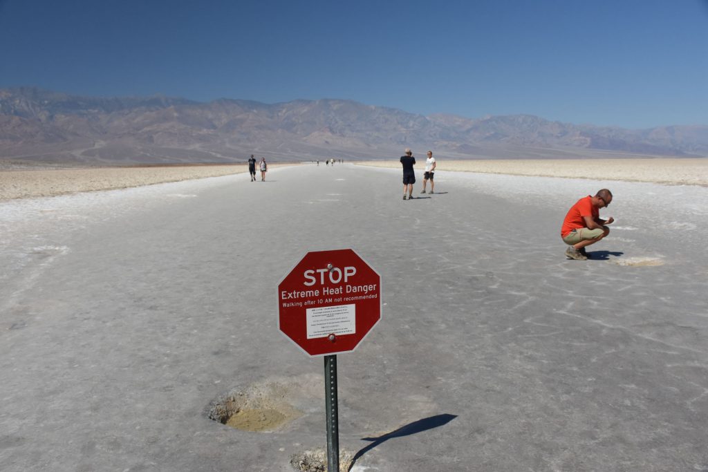
So salty, the early prospectors’ mules would not drink from it.

There were lots of signs explaining the geography and geology of the area.
An area has been designated to walk out on the salt flats.  It was “only” 100 degrees when we were here, so we walked out a short distance.
Walking out on the salt flats at Badwater Basin.
Walking back to the car.  (And the A/C)
Straight ahead, about halfway up the mountain, is a small sign that says “Sea Level”.

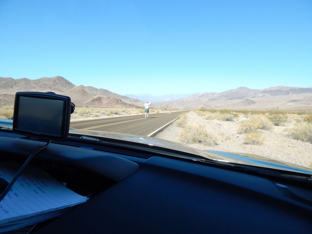
When we got back to the car, there was a young lady walking around asking if anyone had tools.  There was a group of bicyclists riding through Death Valley with a support van (visible ahead to the right), but one of the bikes broke and they did not have some simple tools.  Luckily, I had what they needed in my emergency bag and they were able to get it fixed.   It was their lucky day.

Advice for staying alive in the heat.
You are at the lowest elevation in the Western Hemisphere.
This sign describes how the basin sits on a seismic fault that is dropping, while the surrounding mountains continue to be pushed higher.
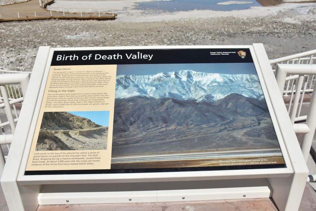
As the valley floor sinks lower, it is also filling up with debris washed down from the mountains.  However, the basin is dropping faster than it fills,
so the overall elevation continues to drop.  A major earthquake could cause it to drop, too.
Just a few miles north of Badwater Basin is the Devil’s Golf Course.  
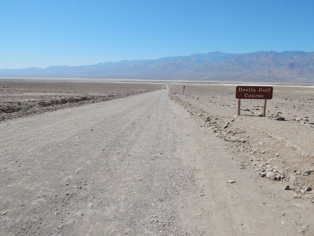
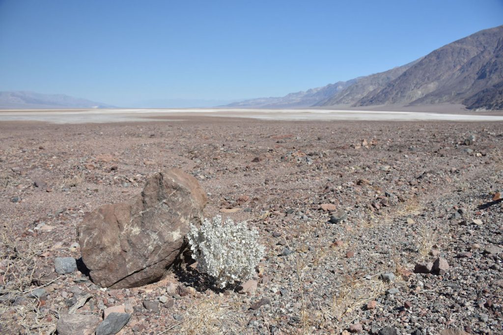
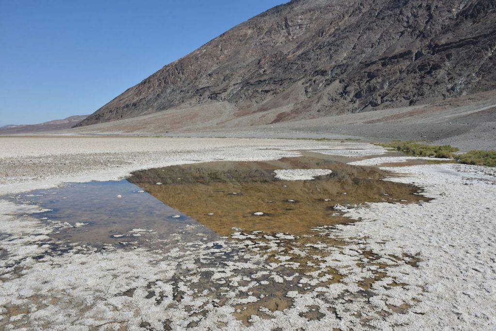
We turned down this gravel road for a couple of miles to get up close.
Another sign with helpful information. 
I’m not a golfer, but I can see where it would be tough playing on this. 
Looking out over the Devil’s Golf Course from the parking lot.

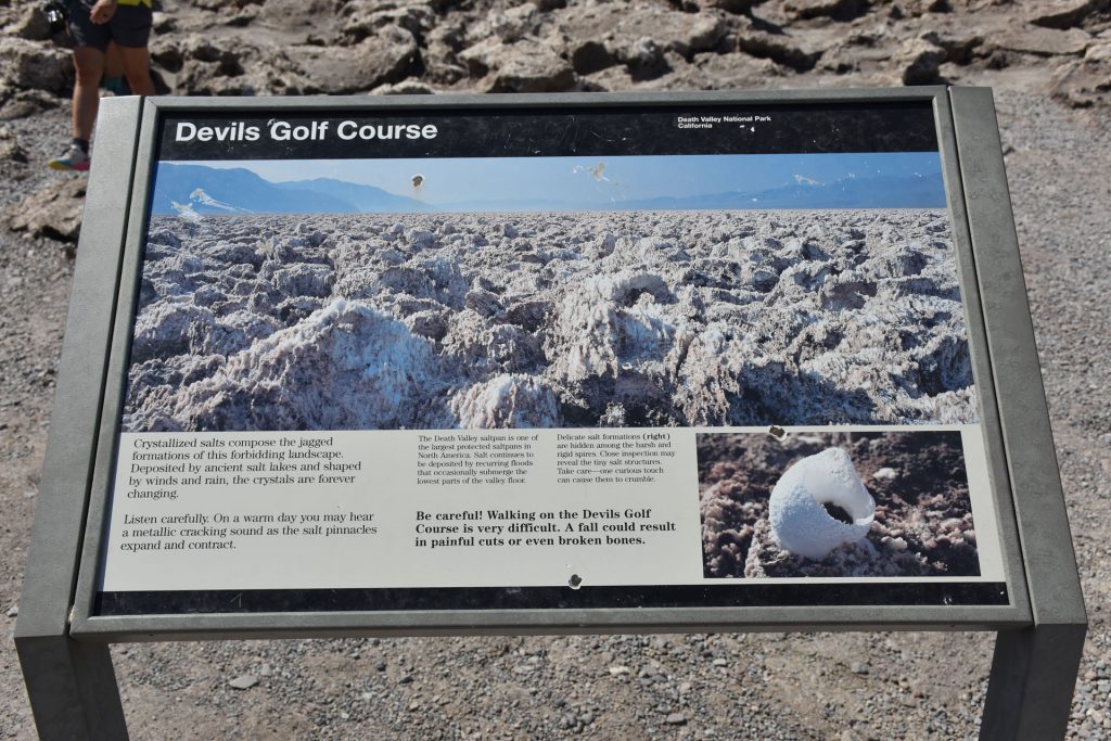
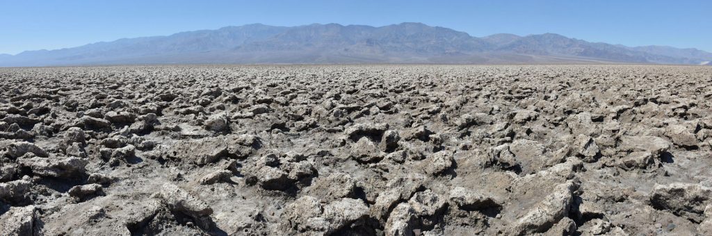
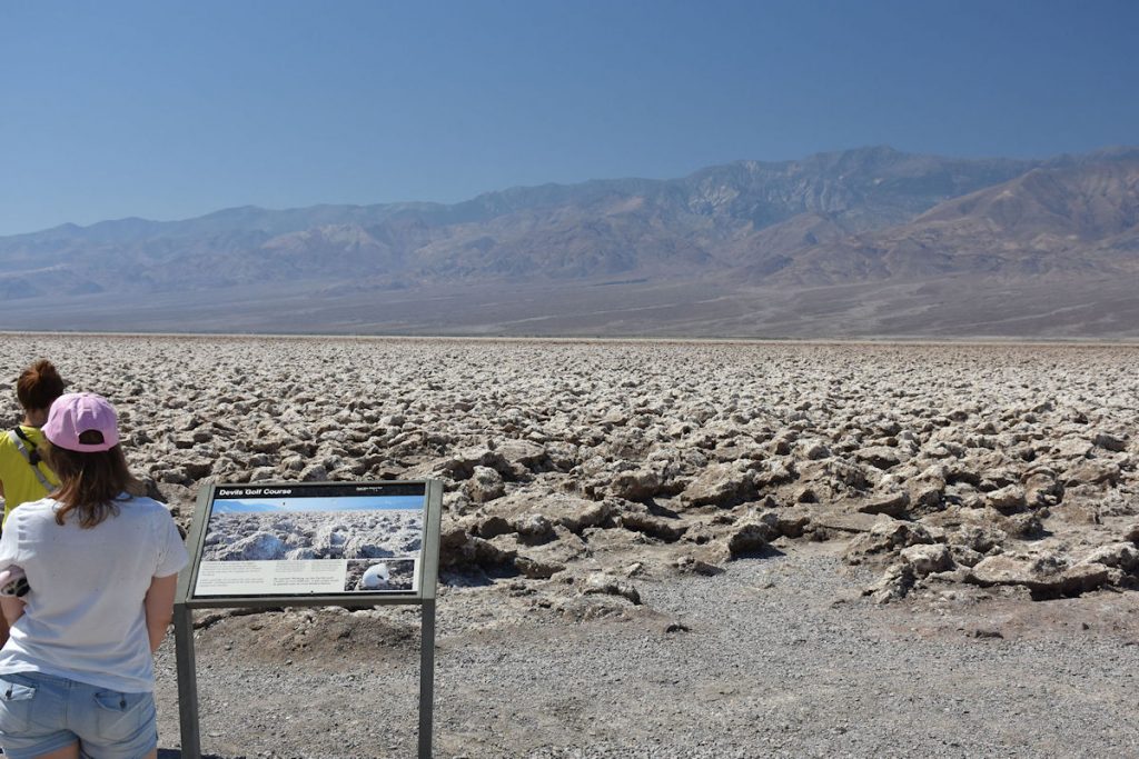
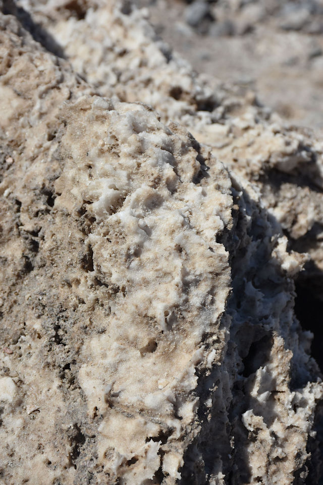
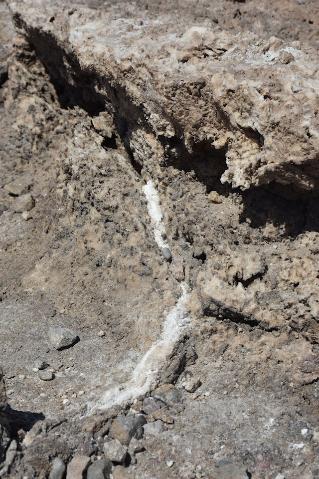
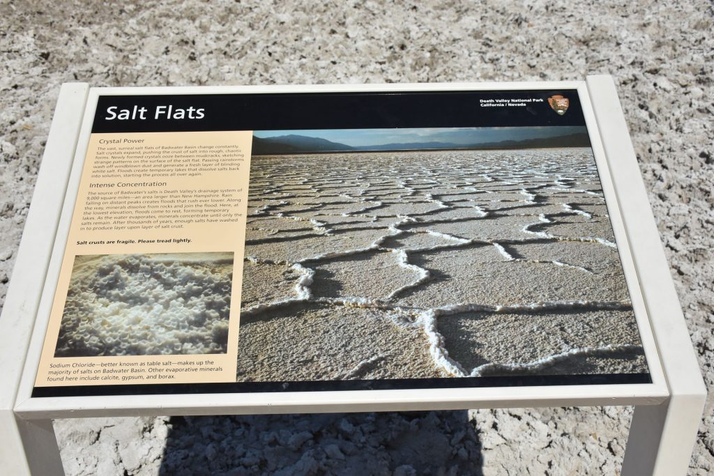
Close-up of some of the salt formations. 

As we continued north toward Artist’s Palette, we saw the bicyclists from the last stop.  
I guess his bike was fixed. 
We took the detour on a 1-way loop through Artist’s Palette, a scenic area along the mountain where there are many colors.
As we start up the hill toward Artist’s Palette, this view off to the right (south) reminded us of a different planet.

Beginning the Artist’s Palette loop.  Very interesting already! 
The Artist’s Palette loop meanders along the bottom of the mountains
on the east side of Death Valley. 
After several miles of looping in and out and up and down, we arrived at the parking lot for Artist’s Palette. But first, you have to hike 10 minutes up a couple of hills.  Even then, it’s another mile to the formation. 
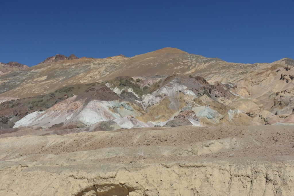
This was close enough for me.  Fascinating colors.  Appropriate name for this site.
Beth wisely chose to wait in the A/C car and took this photo of me up on the hill by Artist’s Palette. It’s hard to tell from this photo that I am still over a mile away from the formation. 
Continuing on the Artist’s Palette loop back to the main highway.
More whoop-de-doos.  More great scenery.
Nearing the end of the Artist’s Palette loop.  Just ahead, we re-join the main highway north to Furnace Creek. 
Looking to the left from the previous photo shows just how desolate and remote this area is. 
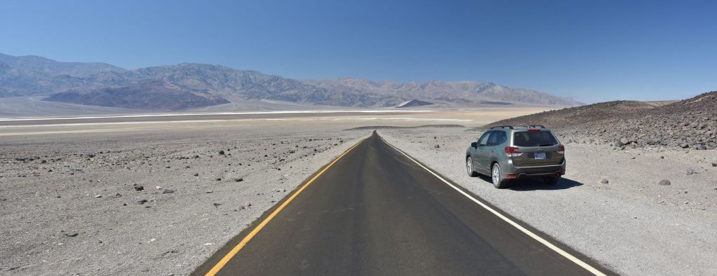
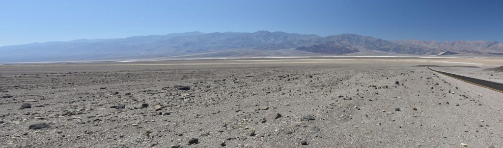
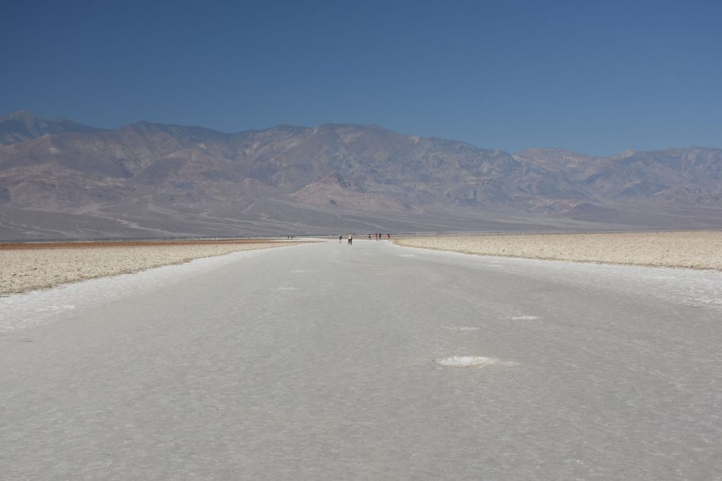
The white streaks are the salt flats at Badwater Basin.  They stretch for about 20 miles north and south.
Back on the main road after Artist’s Palette Loop, we continued north toward Furnace Creek.
Our first glimpse of Furnace Creek.  There is a fancy Inn here (The Oasis)
that many movie stars stayed at “back in the day”.
Stark contrasts between the Oasis and the surrounding desert.
 
Want more information :  https://www.oasisatdeathvalley.com/ 
At the Furnace Creek intersection, we are back up to sea level – but not for long. 
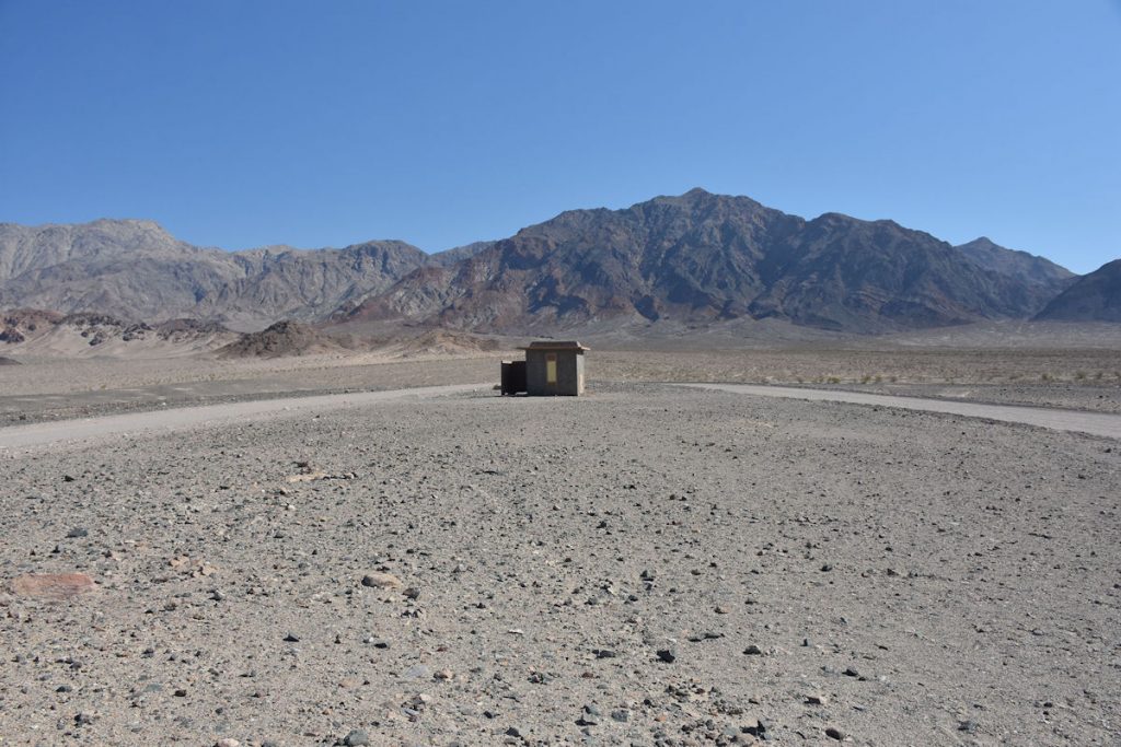
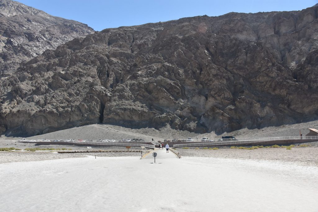
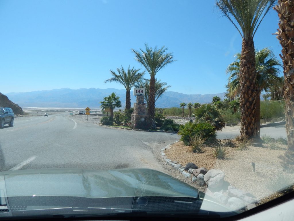
 The Visitor Center is just ahead – down the hill.
Monument at Furnace Creek.
Close-up of plaque on monument.
Top of monument.
Less than a mile from the previous monument and we are back to 190 feet below sea level.
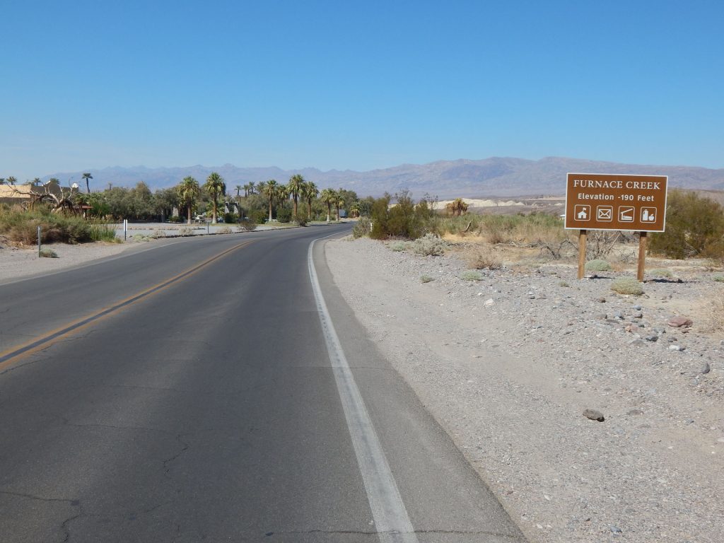
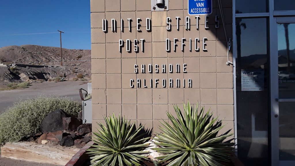
Welcome to the town of Furnace Creek.  There is even a post office!
Furnace Creek Visitor Center – part of Death Valley National Park.
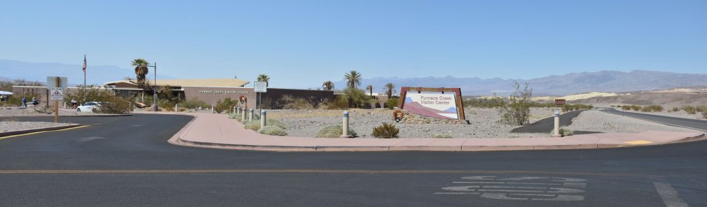
They even had large canopies in the parking lot so you could park in the shade.  How nice!
I splurged and bought a t-shirt.

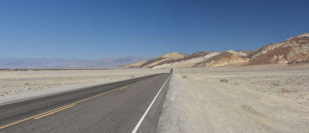
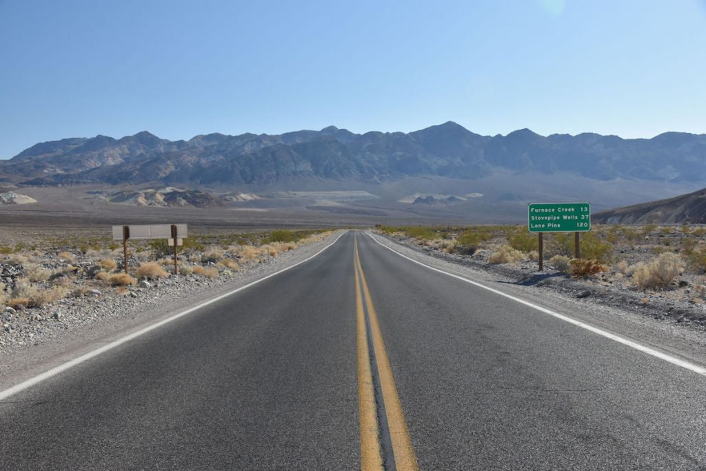
Furnace Creek is the western-most point on our trip.  From here, we turn east and begin our long journey home.

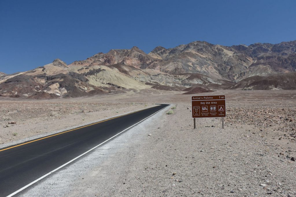
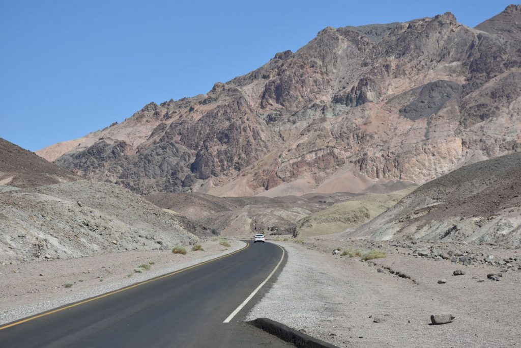
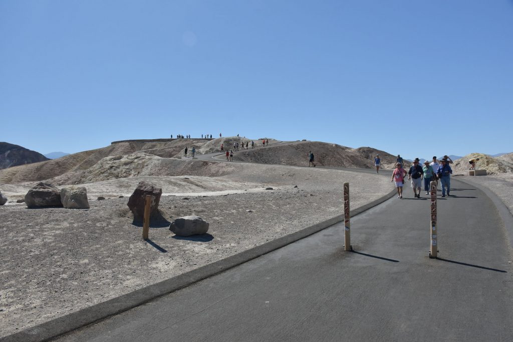
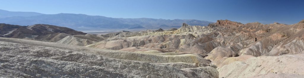
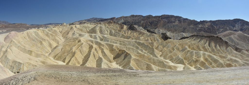
After Furnace Creek, we continued east to Zabriskie Point. 

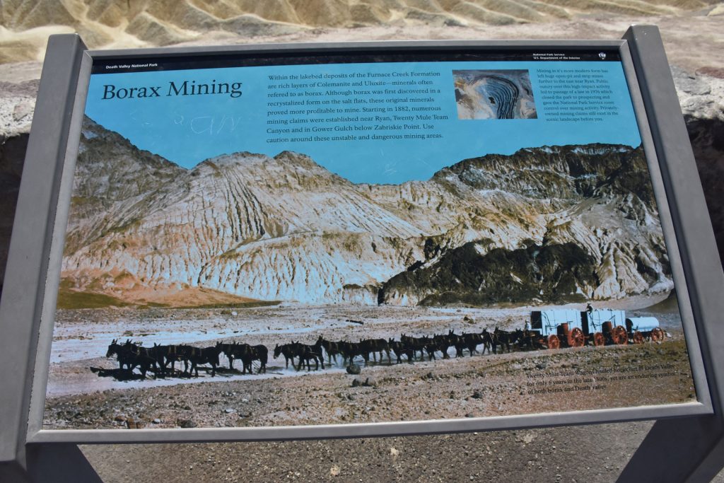
Named for Christian Brevoort Zabriskie, vice-president and general manager of the Pacific Coast Borax Company in the early 20th century. The company’s 20-mule teams were used to transport borax from its nearby mining operations.

Five million years ago, this area was covered by a large lake. During its existence, sediments from nearby formations and volcanic activity settled and created what is now called the Furnace Creek Formation.  Camels, mastodons, horses, carnivores, and birds left tracks on the lakeshore mud flats.  Borates and rhyolites mixed with other minerals to form the variety of colors seen today.

Zabriskie Point is also a 1970s movie about the counter-culture of the time, with music by Pink Floyd and Jerry Garcia.

Some of the movie was filmed here on location.

Like many vistas in Death Valley, some walking is required. This is the hike up to Zabriskie Point.
Zabriskie Point panorama. 
Another view at Zabriskie Point.
This gives an idea of the size of the formation. 
This sign told about the borax mining that was big business back in the early 1900s.
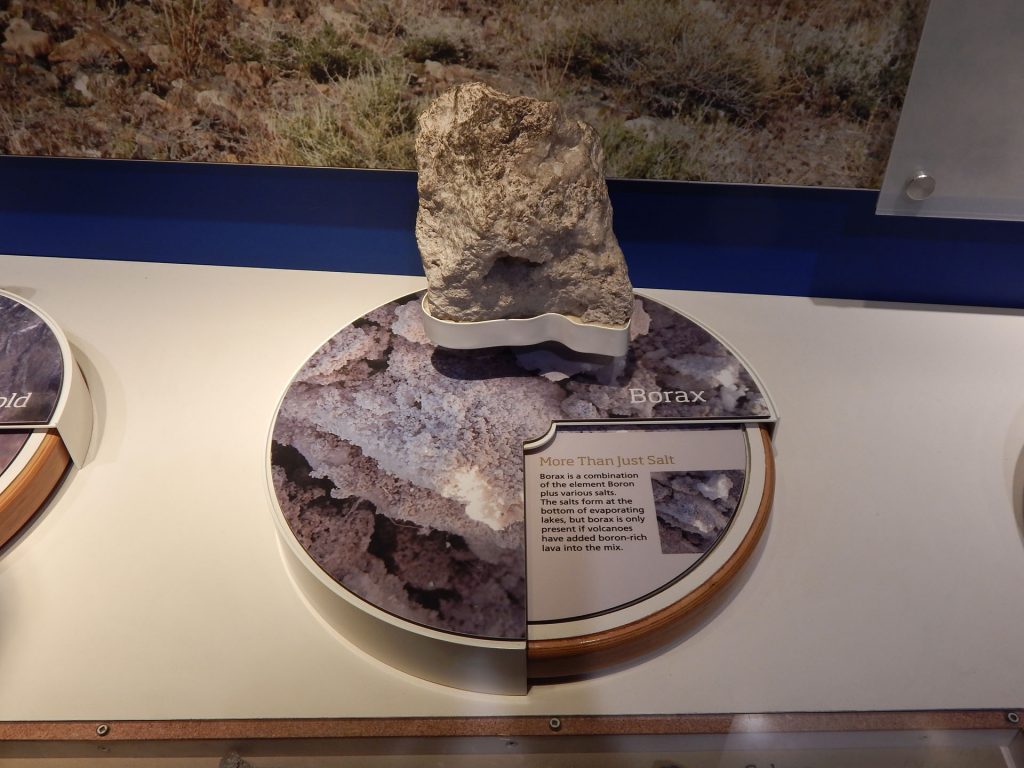
I can remember when my mom used Borax laundry soap to get our clothes clean. 
Quick geology lesson.  (Part 1)
Quick geology lesson.  (Part 2)

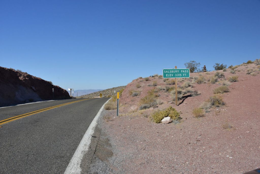
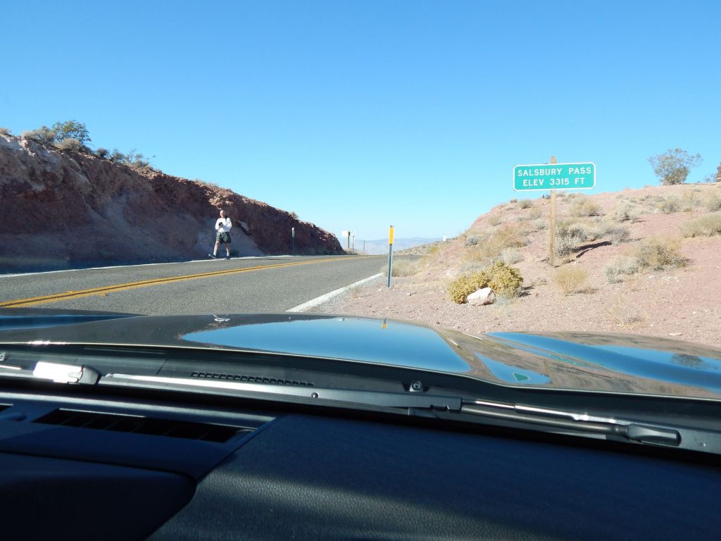
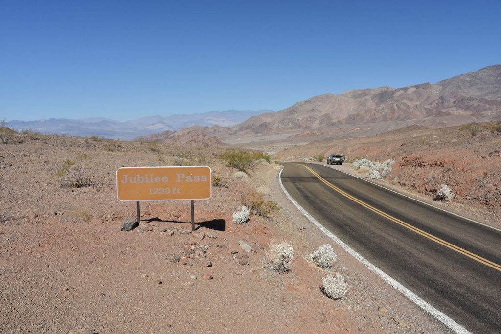
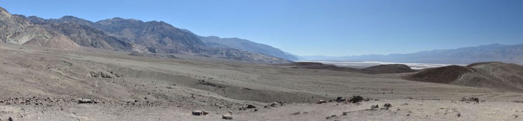
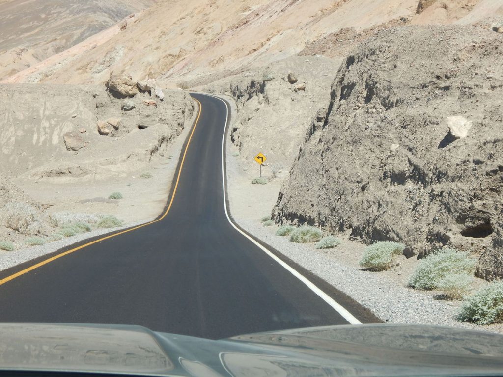
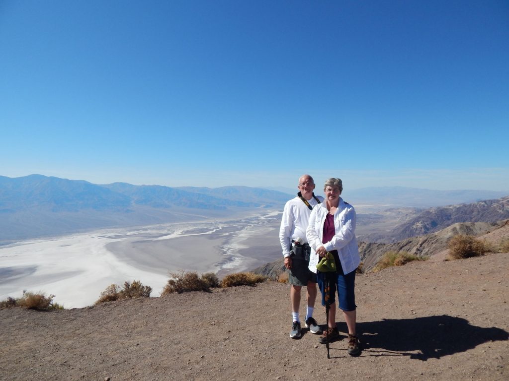
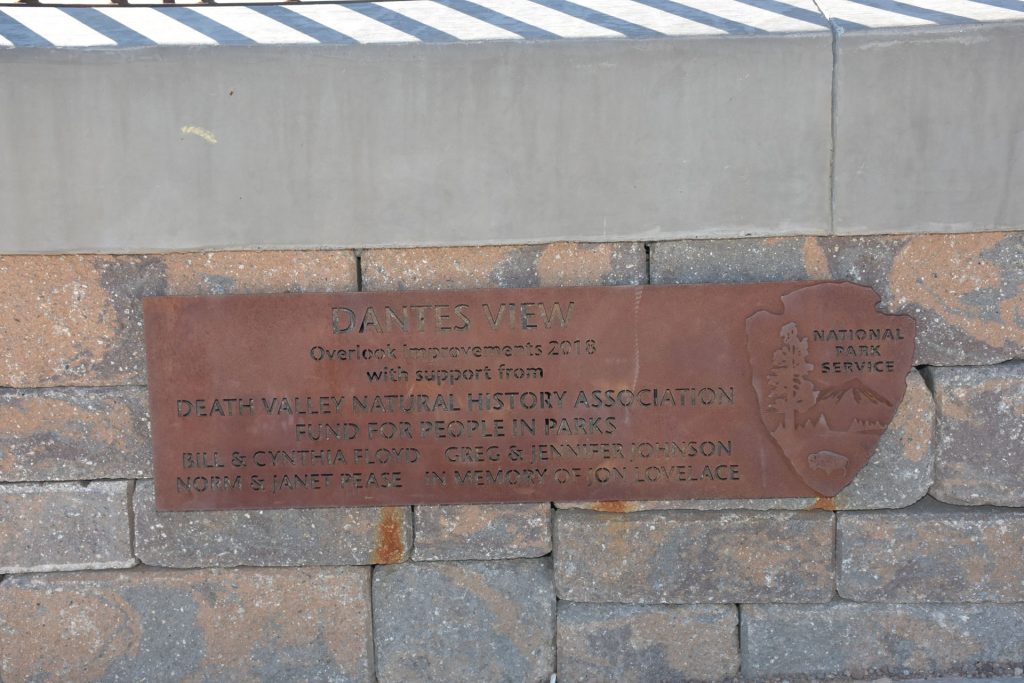
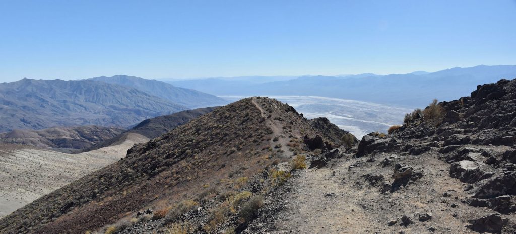
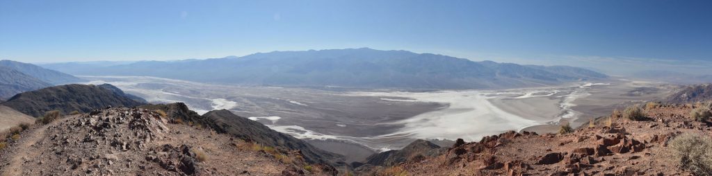
Next, we took a detour off the main highway to go up to Dante’s View,

a 5,476-foot peak overlooking Death Valley at Badwater Basin.

It’s about 15 miles out of the way, but well worth it! 

The last part of the climb up to Dante’s View was rather steep. 
Just on the other side of this peak is a spectacular view of Death Valley.
See!  This panorama shows about 30-40 miles of the Death Valley basin. 
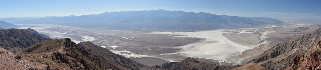
The salt flats are very visible just right of center.
The highway we were on through Death Valley is visible on the right between this mountain and the salt flats.
 
Another family photo.
Sign on the overlook at Dante’s View.
Another quick geology/geography lesson. 
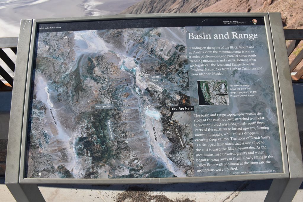
In the previous photos we were at the “You Are Here” point looking
to the left (west) over Death Valley.
Off to the left (facing south) is this trail out to another overlook.
I couldn’t resist.  At least the temperature had dropped to only 95 degrees.
It had been 108 down the valley floor.
At the end of the short trail was another great view. 
I had the trail all to myself out and back.
As we turned east from the Dante’s View road back into Nevada, we turned for another look
back into Death Valley.  What a great day this has been!
 
Along the road, we saw the occasional cactus – just small ones, but very interesting.
Lots of different types of cacti.
Approaching the exit from Death Valley eastbound toward Death Valley Junction and Nevada.
Leaving Death Valley National Park.  Again – what an incredible day!
As we approached the town of Death Valley Junction, we noticed this sign. 
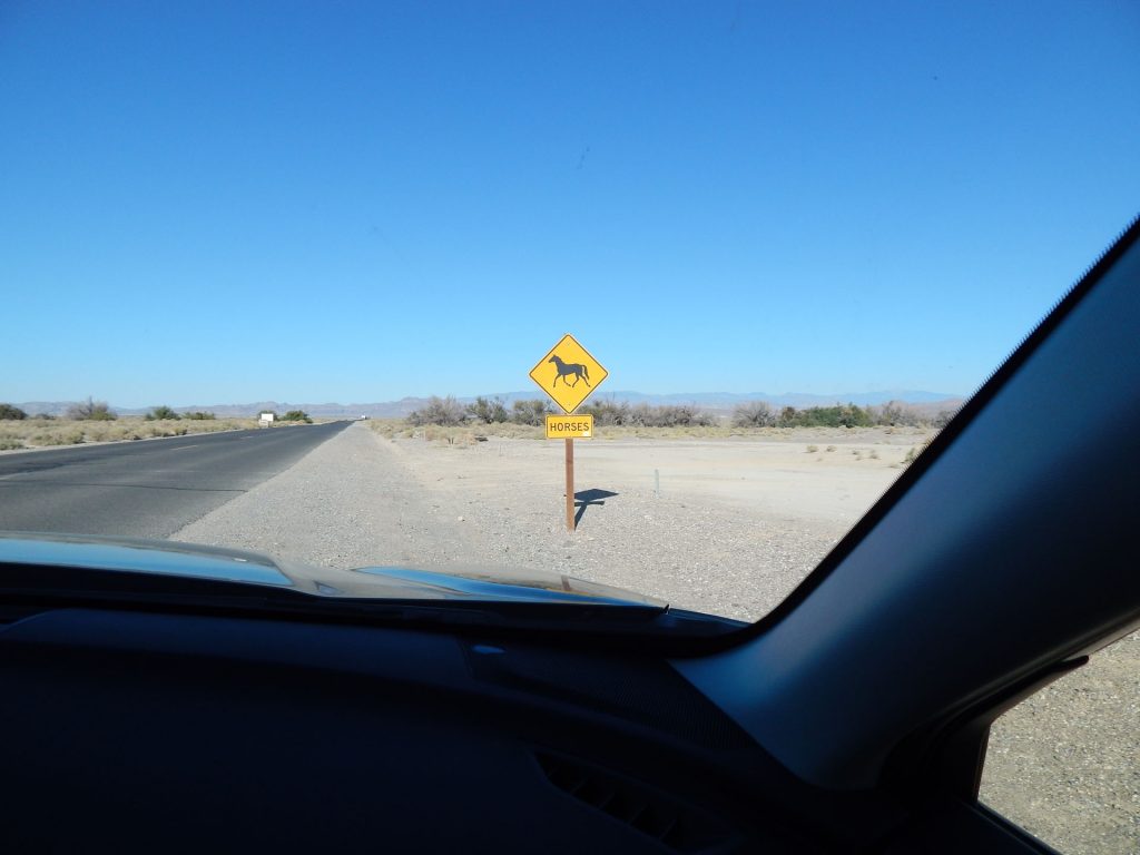
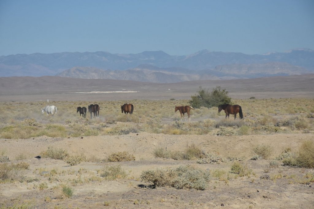
Watch for wild horses.  OK, we will.
Well, that didn’t take long.  
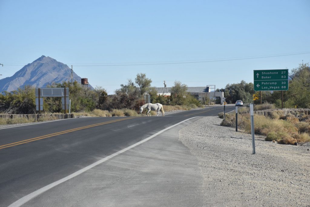
Just a half mile ahead, we saw this horse crossing the road.
And where there is one horse, more are sure to follow.  Mama and her young one.
I heard traffic coming up from behind me, but luckily it was a school bus.
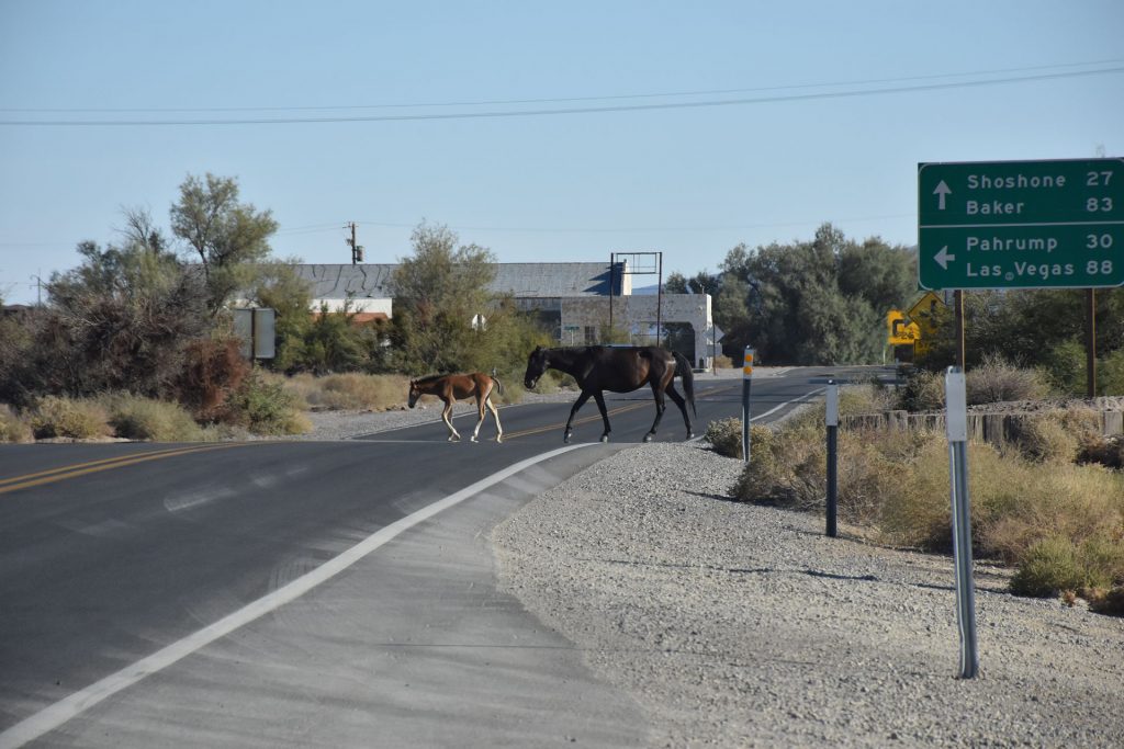
The driver stopped and turned on the flashing lights to warn other cars
until the horses had safely crossed.
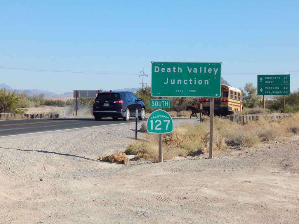
Here, you can see one horse crossing directly in front of the bus.
They all made it across the road safely.
Home, home on the range.
In a half hour, we were back in Pahrump.  We had a nice dinner at the local casino buffet.
 

Tomorrow, we start our long journey home – eastbound for the first time in 2 weeks. 

Join us as we drive past Las Vegas (again) on our way to Zion National Park, Utah.

Glad you could ride with us today!

Read more about Death Valley here:  https://en.wikipedia.org/wiki/Death_Valley 

Mileage Today:  201 Miles

Trip Total:   3,135 Miles

PROCEED TO DAY 14 – PAHRUMP, NEVADA TO ZION NATIONAL PARK, UTAH

RETURN TO SOUTHWEST MASTER INDEX