
Southwest USA
Retirement Trip
September 2019
29 Days – 6,500 Miles – 19 States
7 National Parks
Several State Parks – 6,000+ Photos
1 Trillion Insects Squished by Car Windshield
From 108 Degrees to Snow
From 282 Feet Below Sea Level to 12,000+ Feet
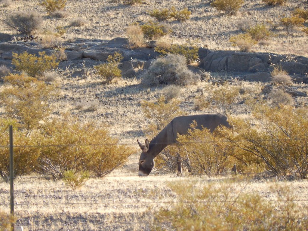
Bison, Elk, Prairie Dogs, Lizards, Wild Horses
Elvis, Aliens, John Wayne Westerns
Walking In The Footsteps of Forrest Gump
And More!
ZION NATIONAL PARK
Our original plan was to take the entire day to drive to Springdale UT which is by the entrance to the park.
However, we arrived very early in the afternoon and decided to see Zion today!
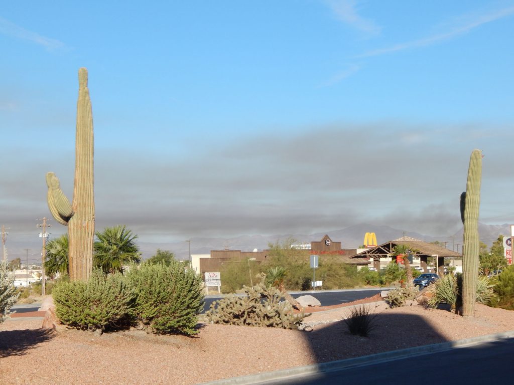
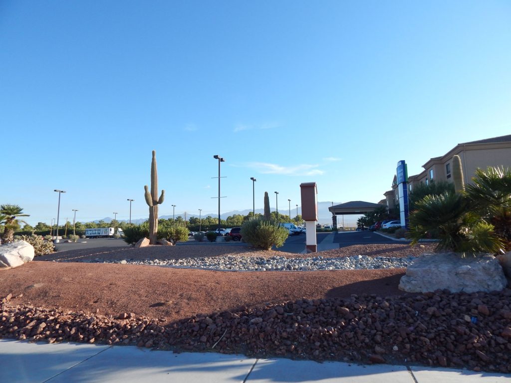
photos of these large cacti near the hotel.
They were the only Saguaro cactus we saw on this trip since we were just a little too far north.
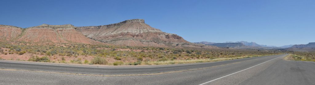
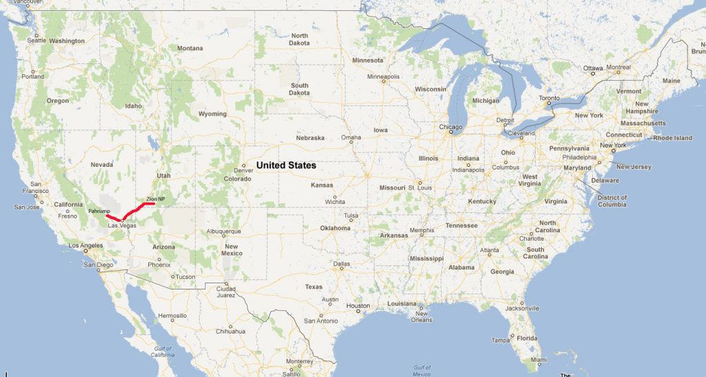
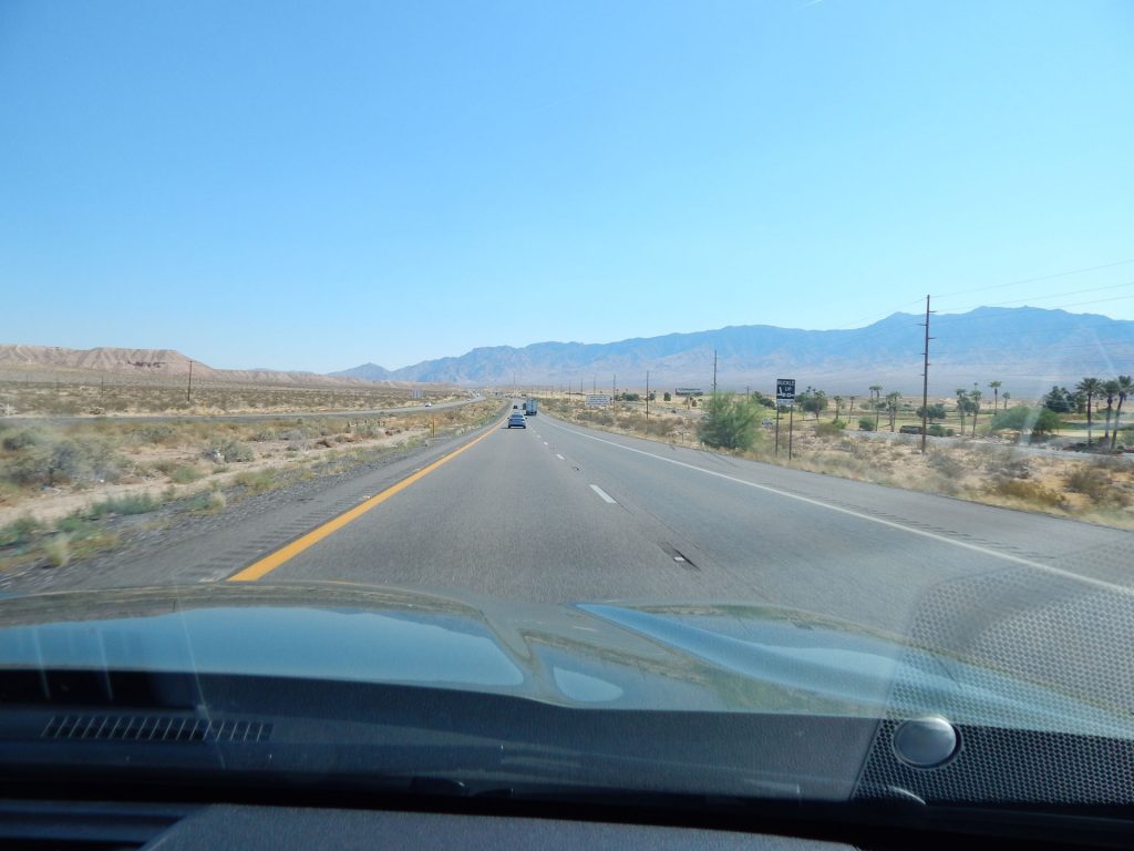
This panorama was taken north of Pahrump near the Ash Meadows National Wildlife Reserve.
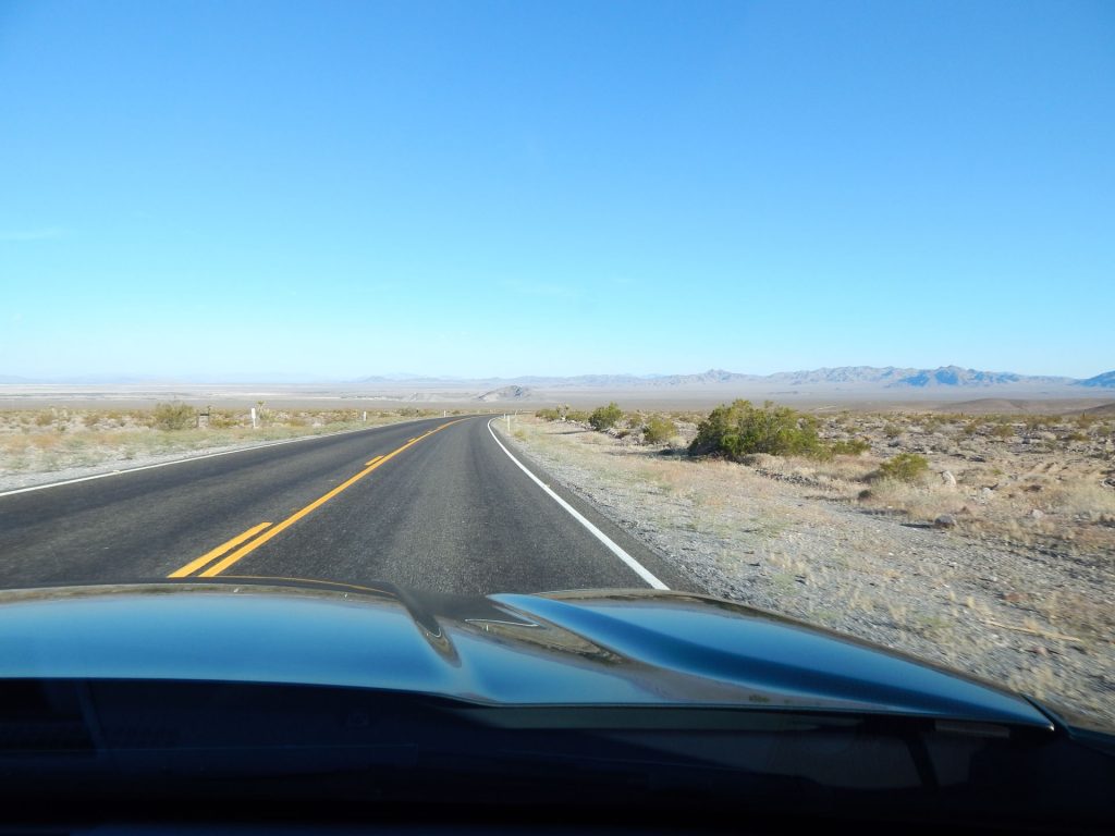
There was going to be an “AlienStock” gathering with over
100,000 people the next weekend but that fizzled out.
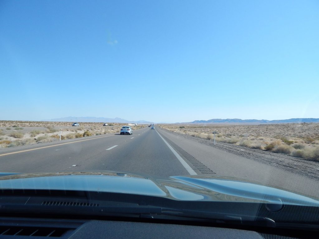
This time, we circled around from the north, missing the worst of the traffic.
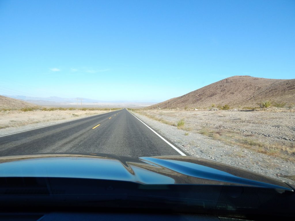
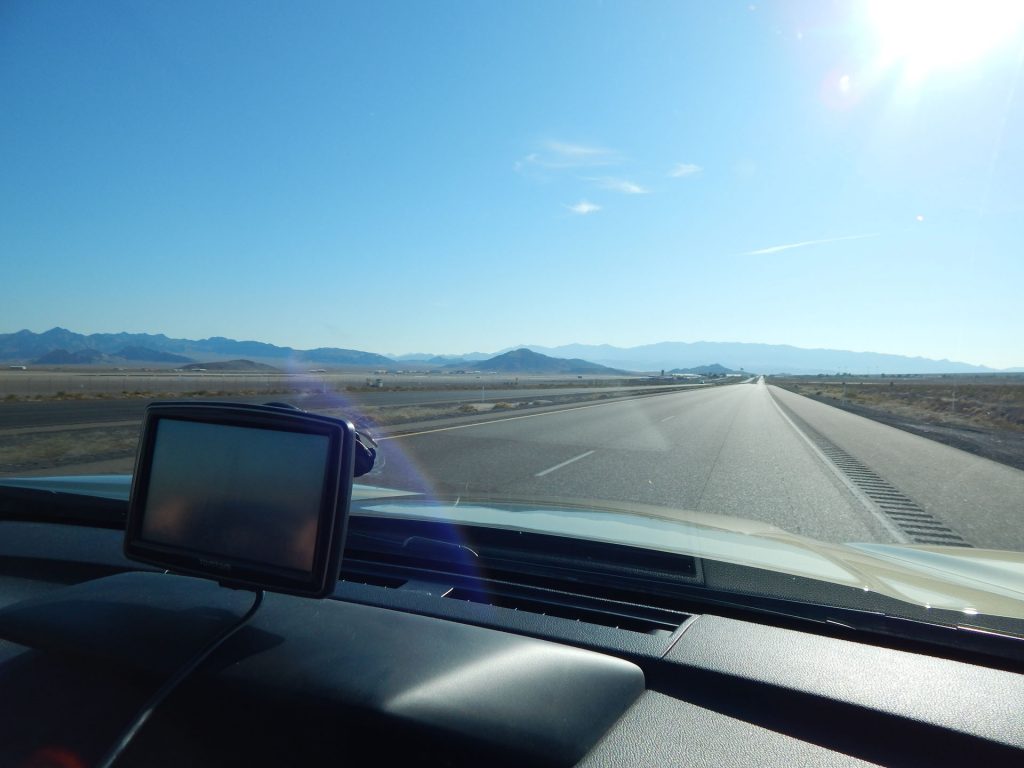
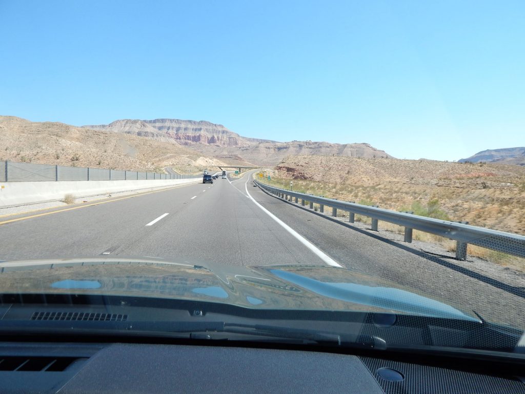
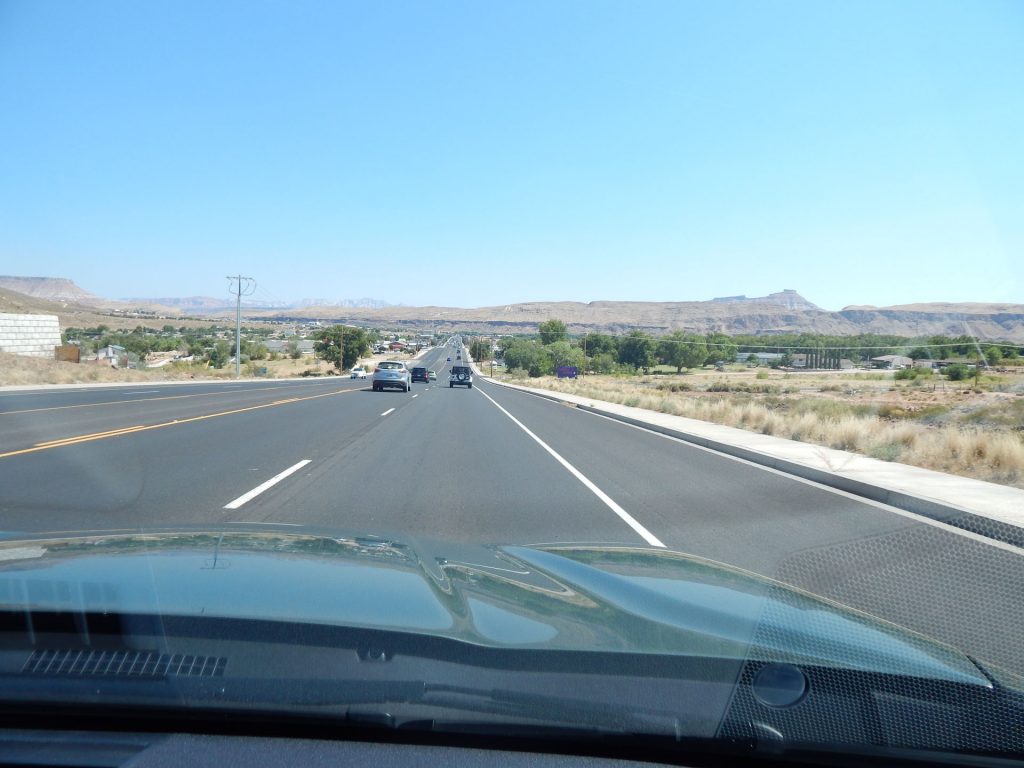
Soon, we were past Las Vegas and heading northeast on I-15 toward St George, Utah.
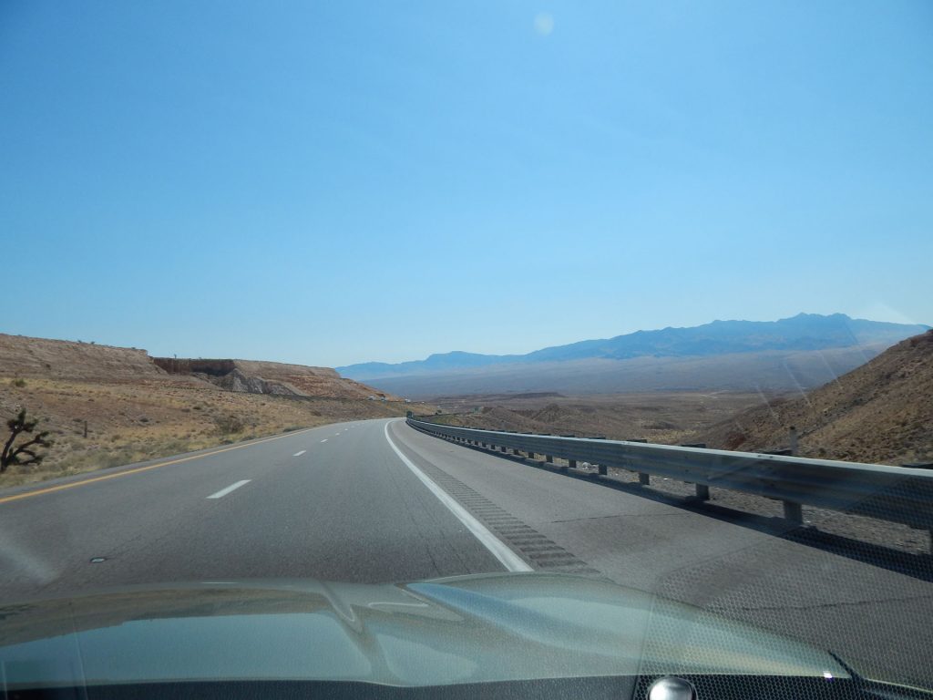
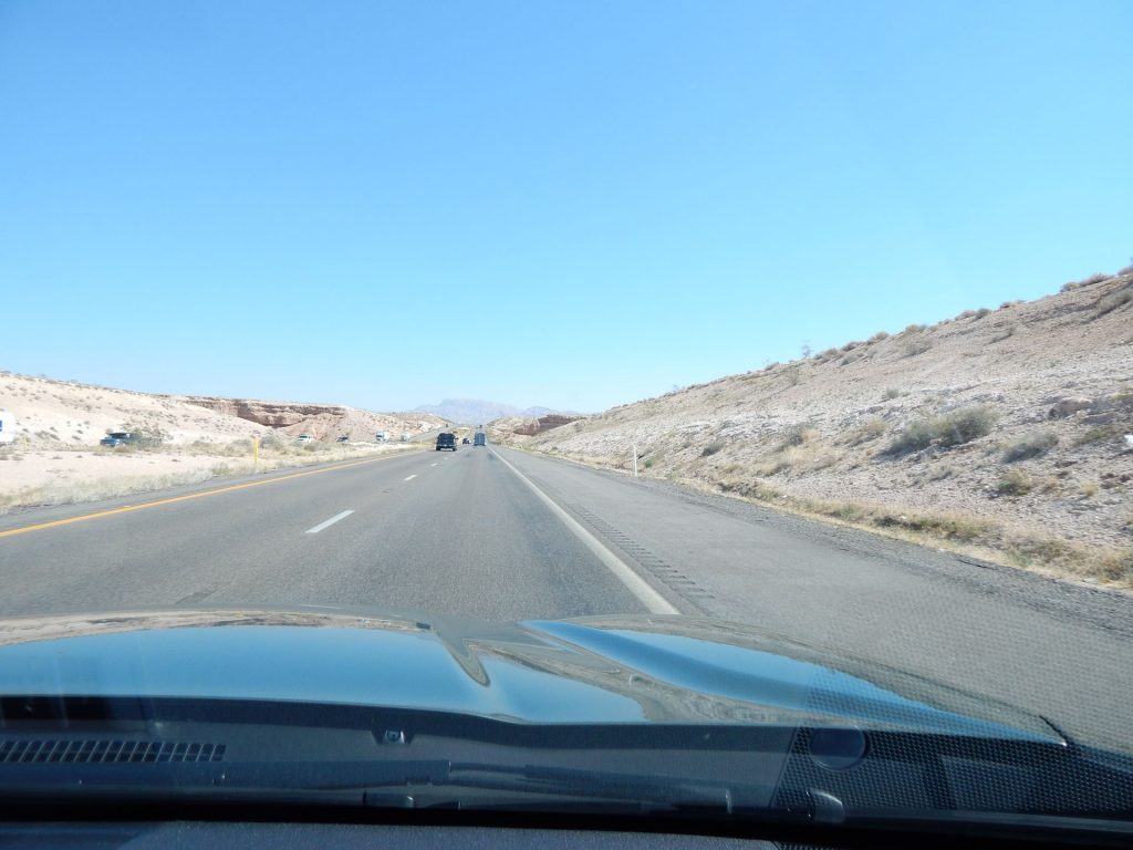
Out of the flat desert and into the mountains. Slowing gaining altitude.
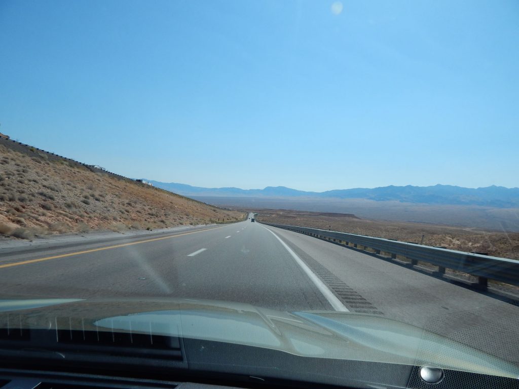
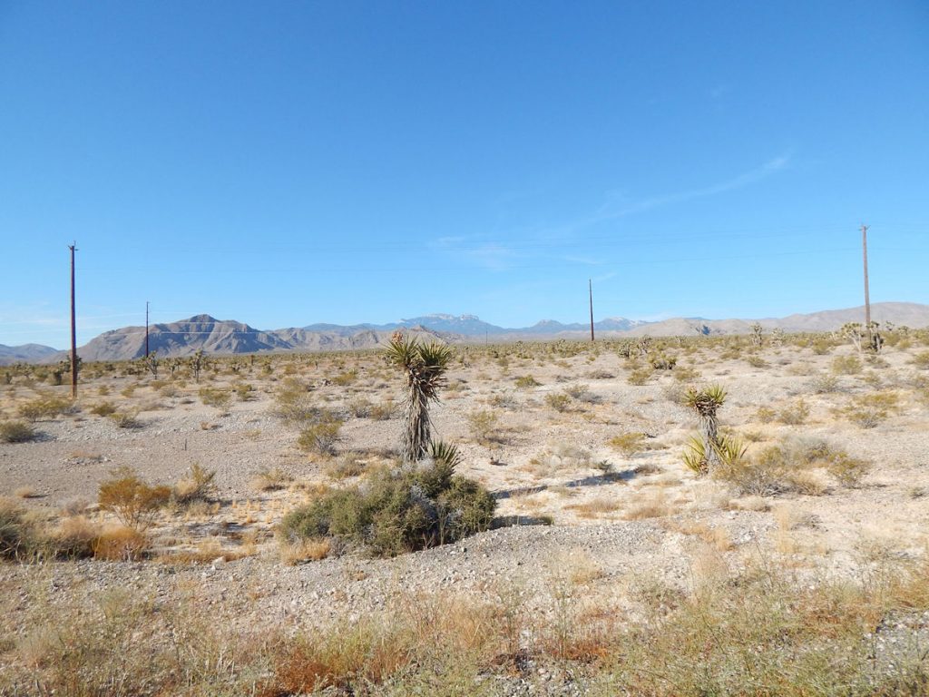
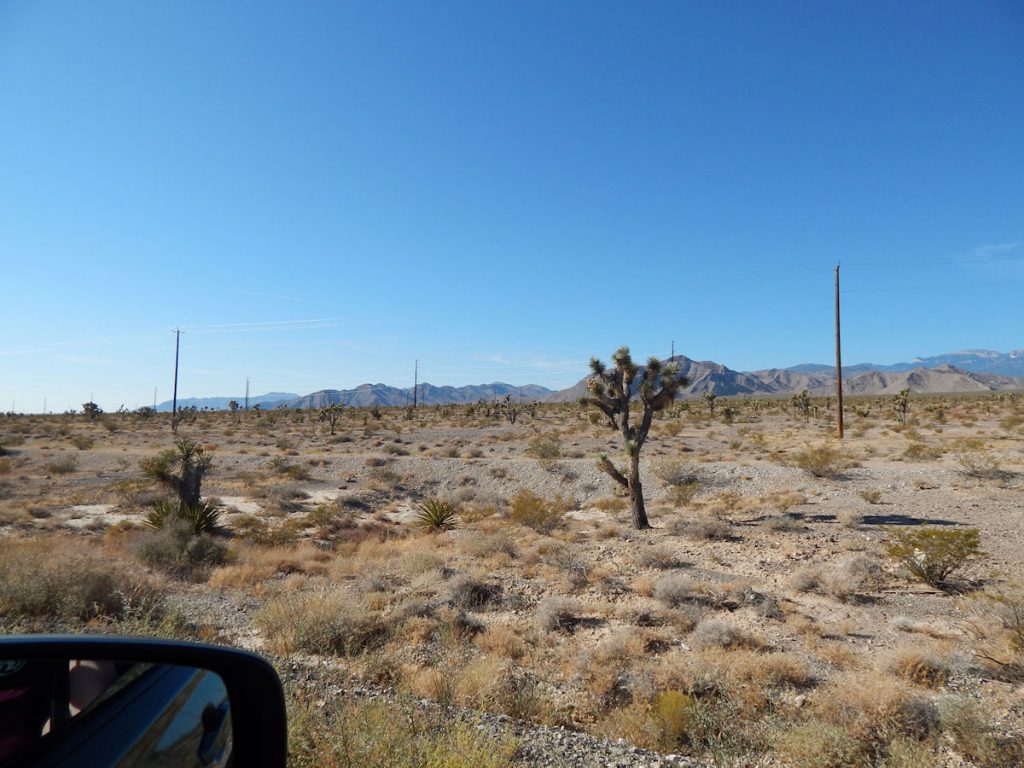
This time, it would be a very brief visit as we are just cutting through the southwest
corner of the state on our way to Utah.
can vary so much from one minute to the next.
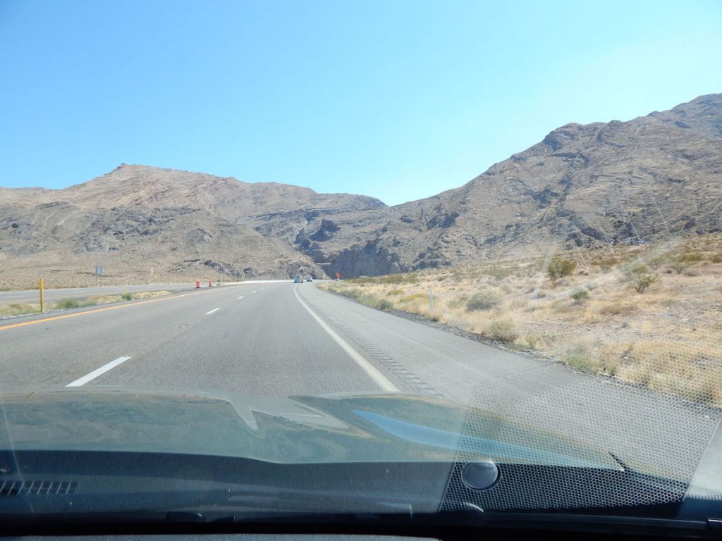
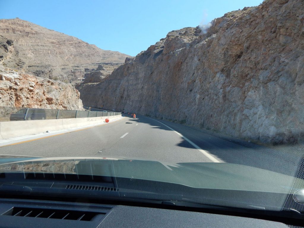
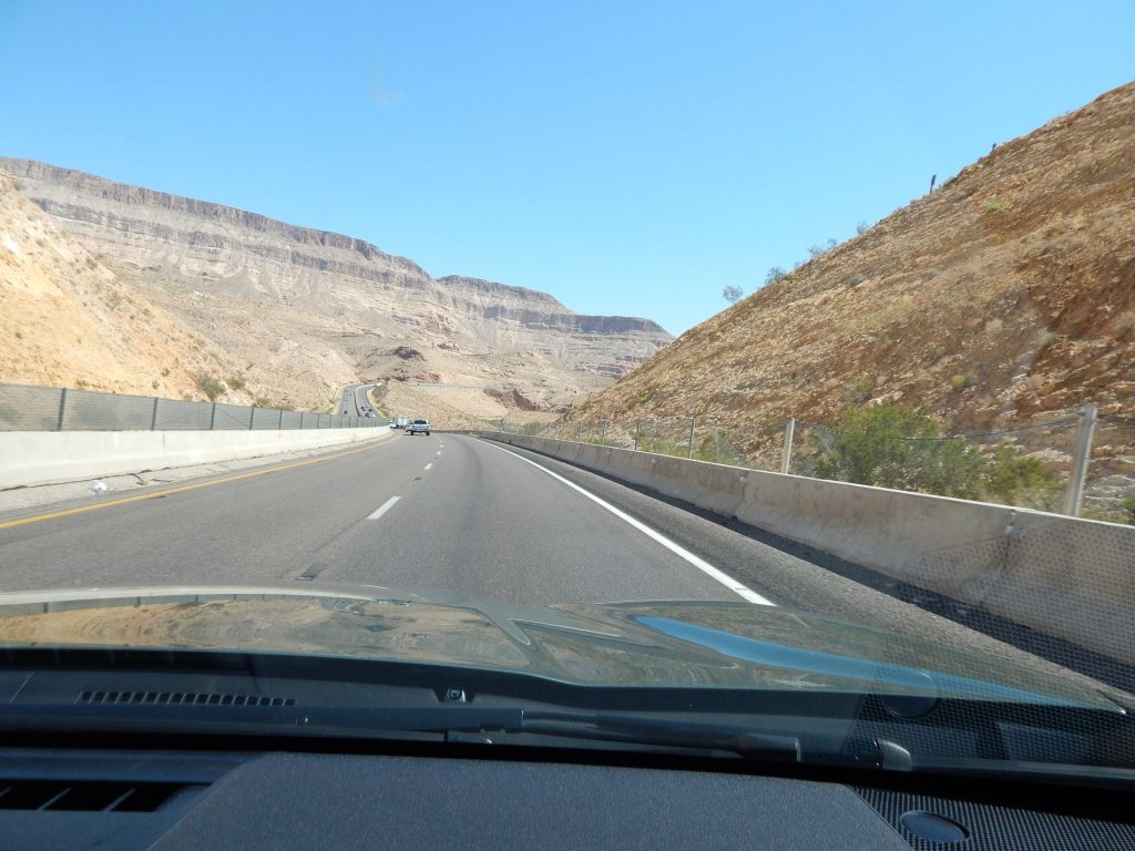
this pass through solid rock for the Interstate.
about 2,800 feet elevation at this point.
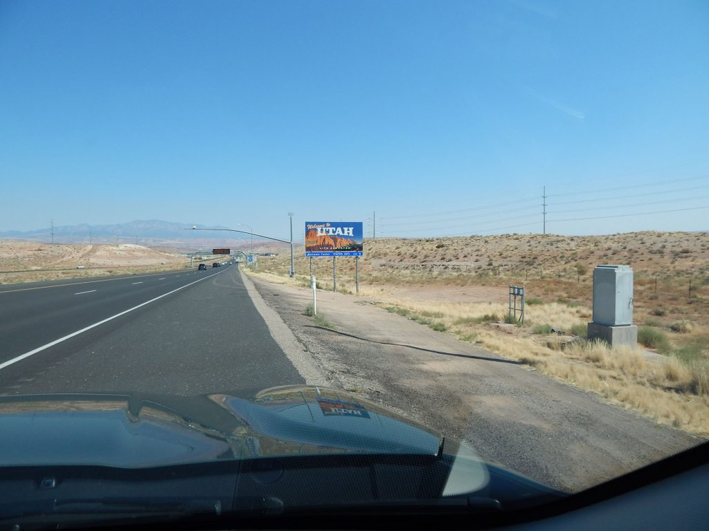
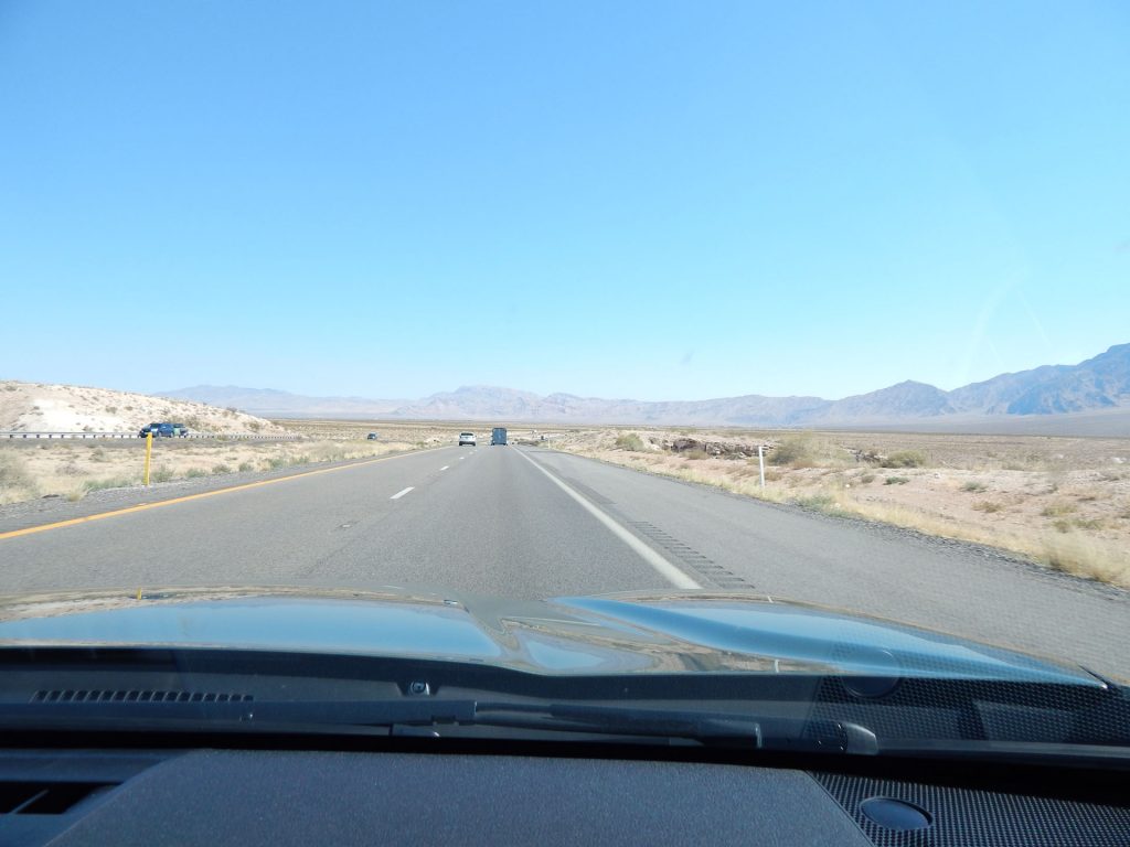
(Our route zig-zags along the border of Arizona and Utah the next few days.)
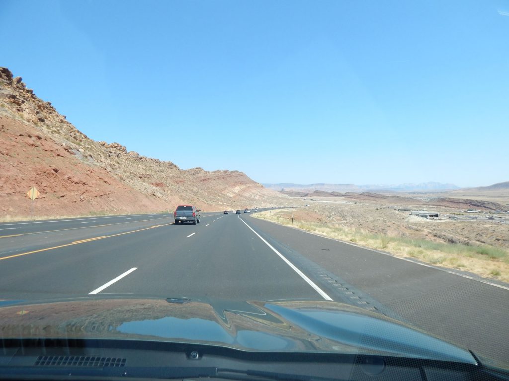
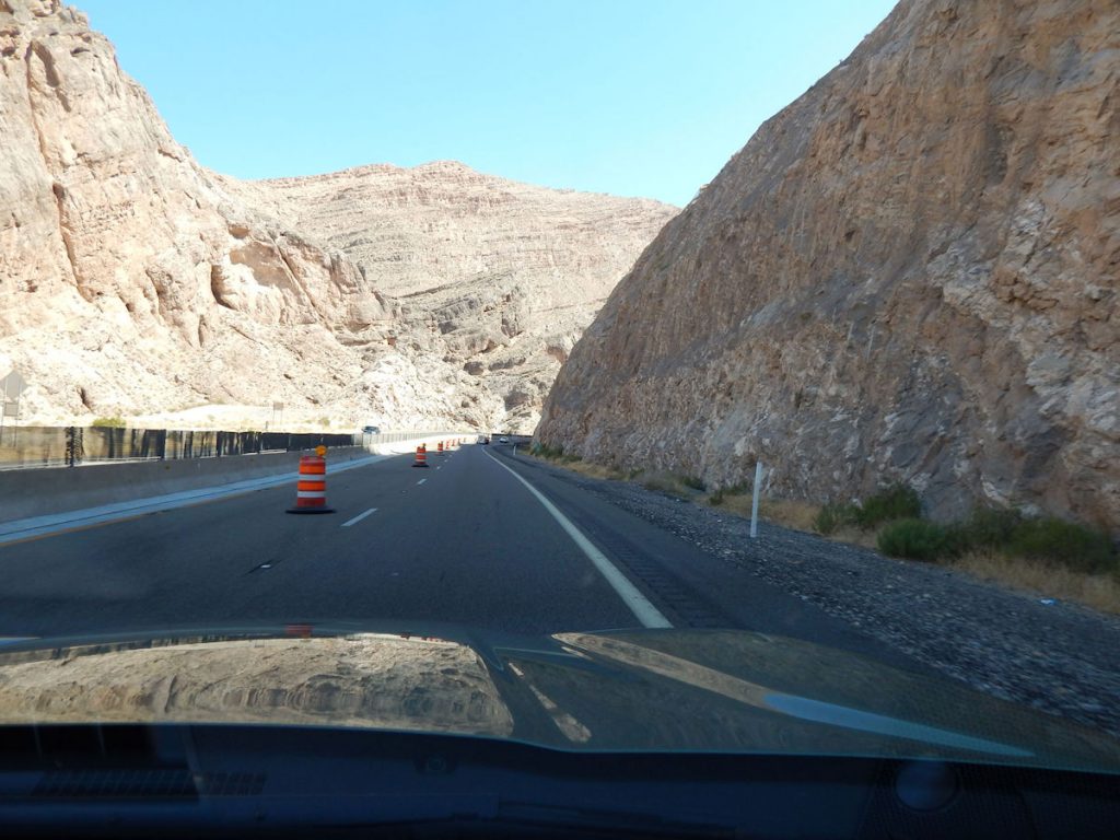
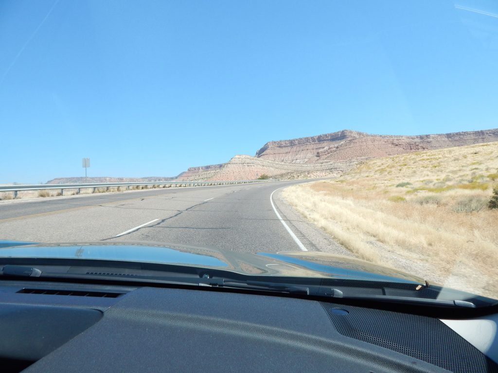
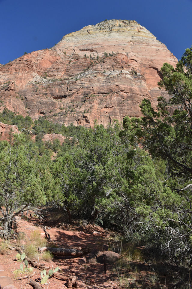
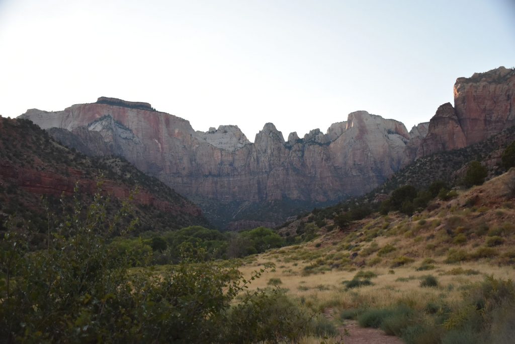
We are also starting to see some rock formations that look like what
we saw in the Zion National Park brochure.
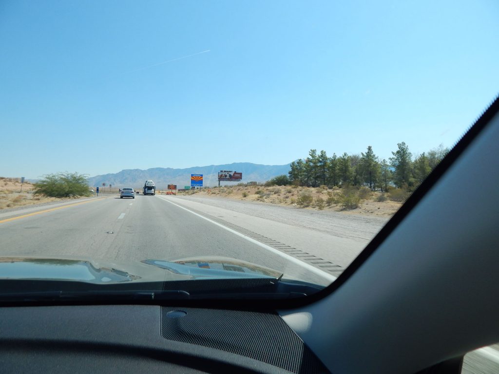
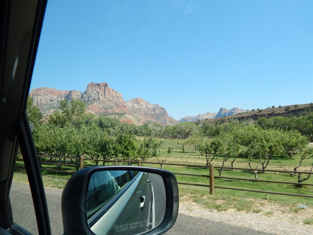
After passing through St George (and stopping for a great lunch),
we turned east toward Zion National Park.
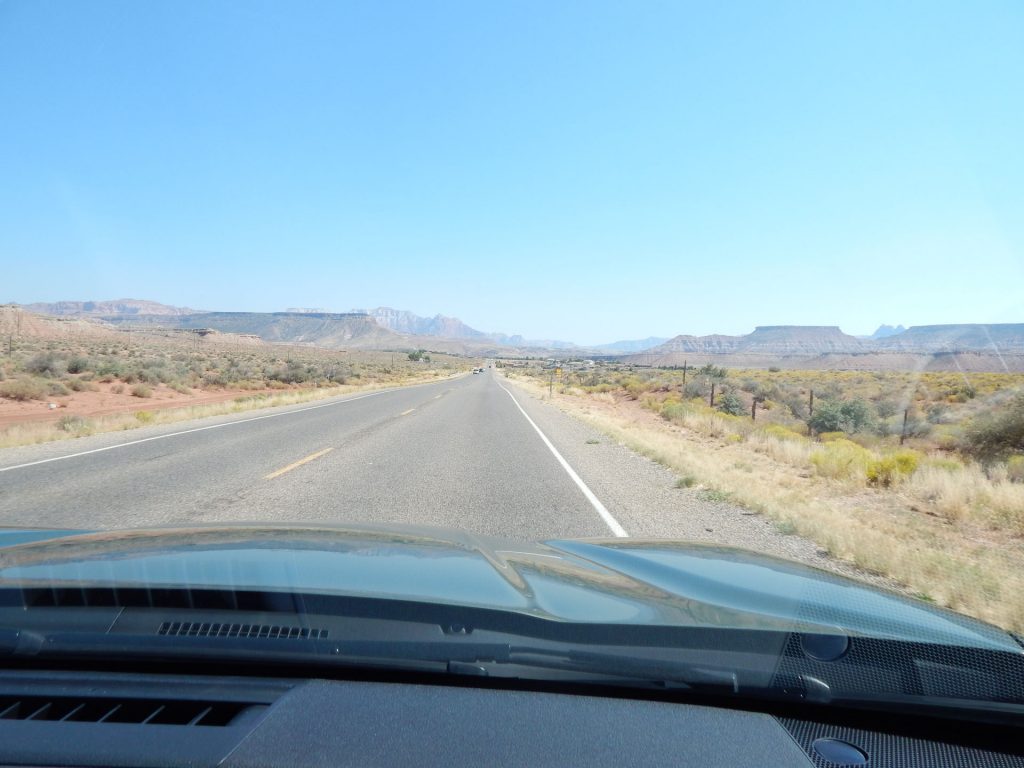
Only about 20-25 miles to Zion NP now!
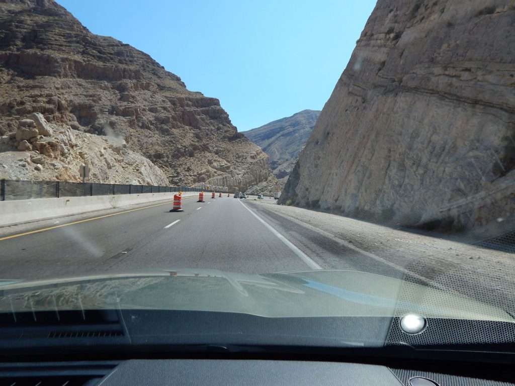
Climbing past 3,800 feet elevation.
We are still about 10-15 miles from Springdale and the Zion NP entrance.
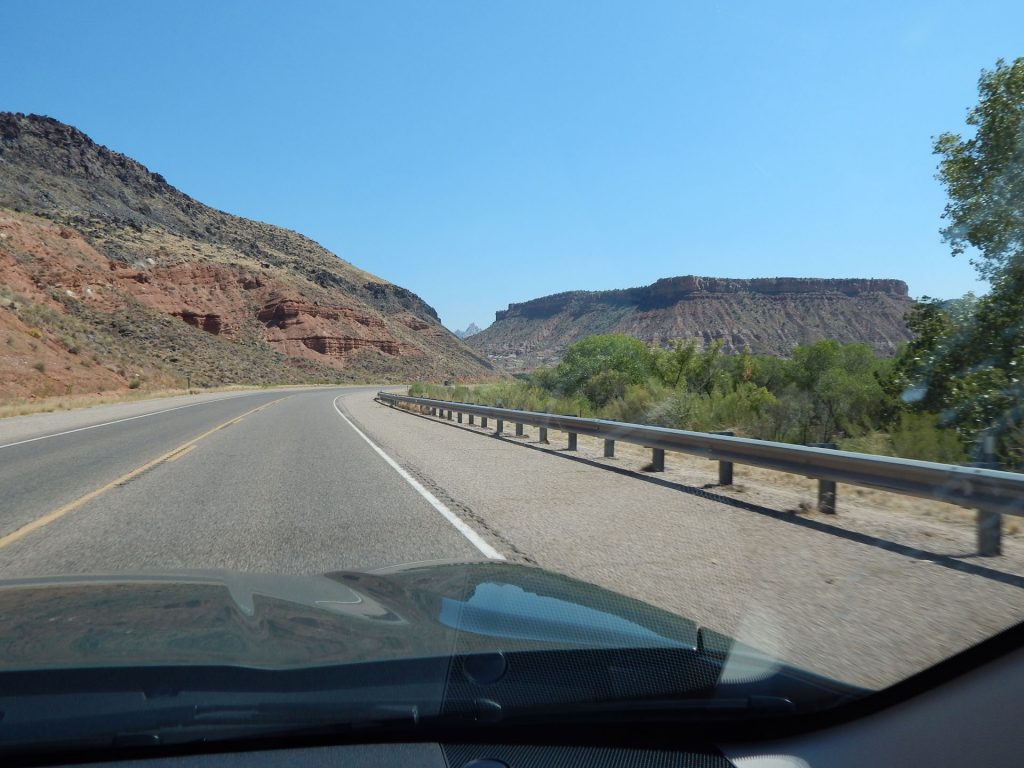
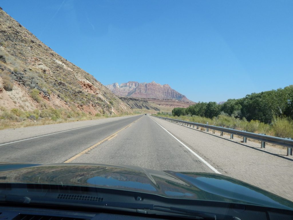
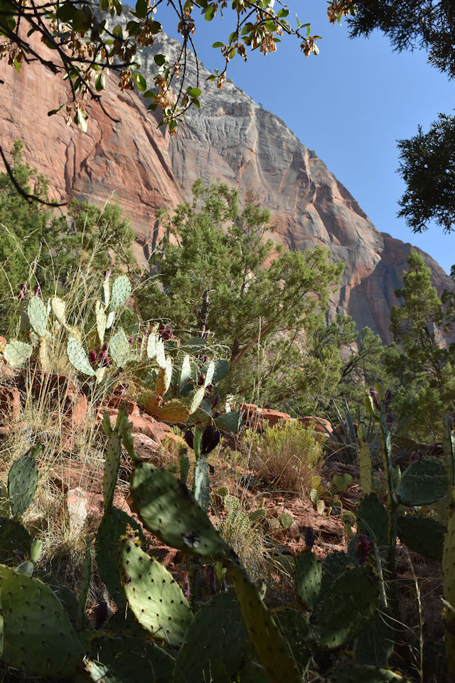
The scenery is getting better by the minute.
Quite a contrast to the surrounding areas.
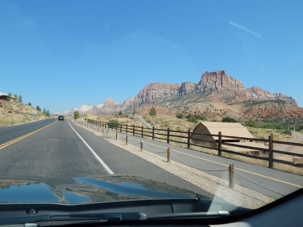
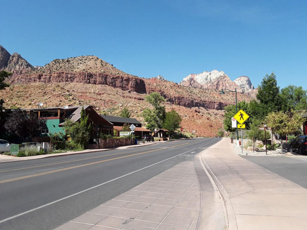
Rt 9 goes through Springdale, then through Zion National Park.
If you don’t have a National Park Pass, you have to turn around and backtrack 25 miles.
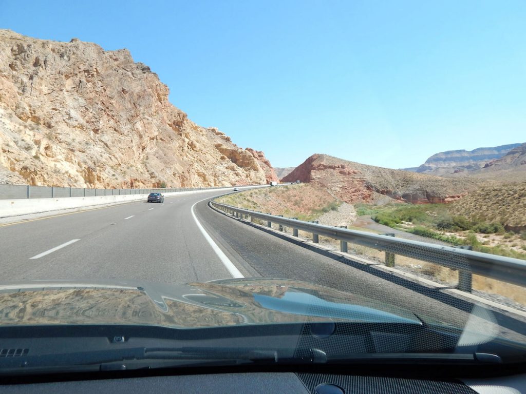
Those large rocks up ahead are part of Zion NP. We will be exploring there shortly.
Then, if we want to come back again tomorrow, we can.
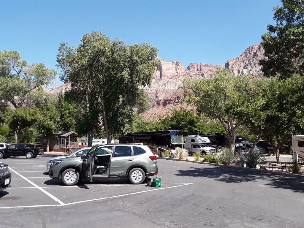
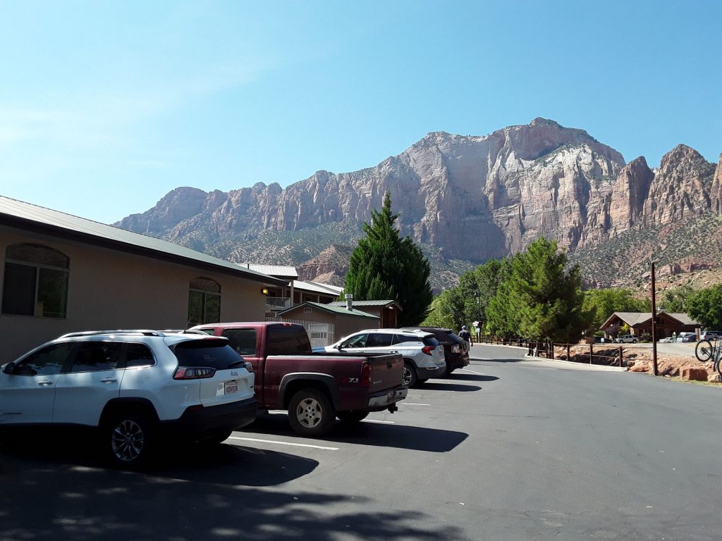
Second-floor room and no elevators. Oh well.
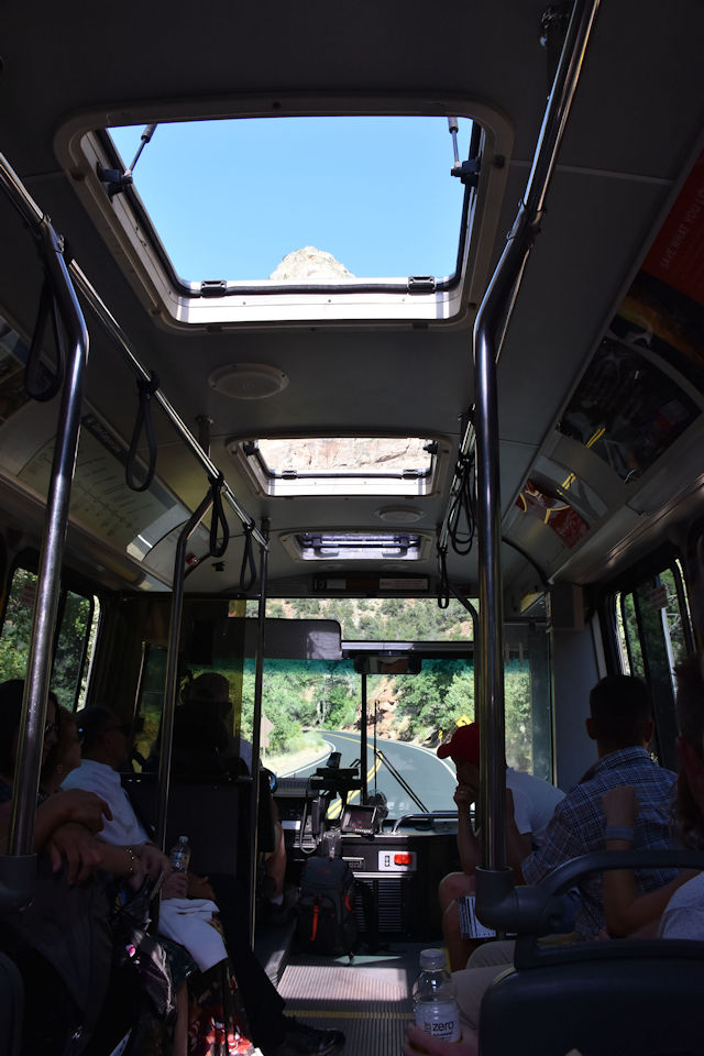
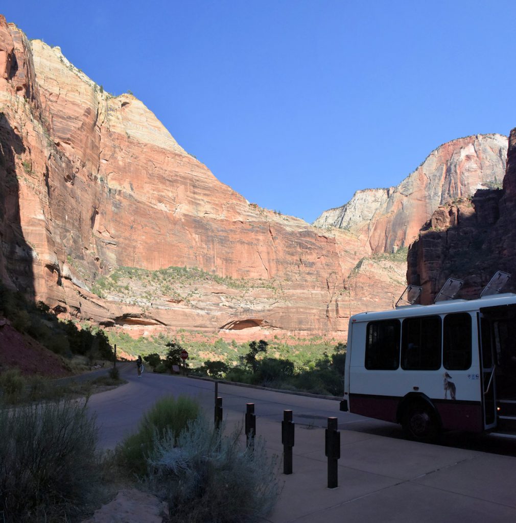
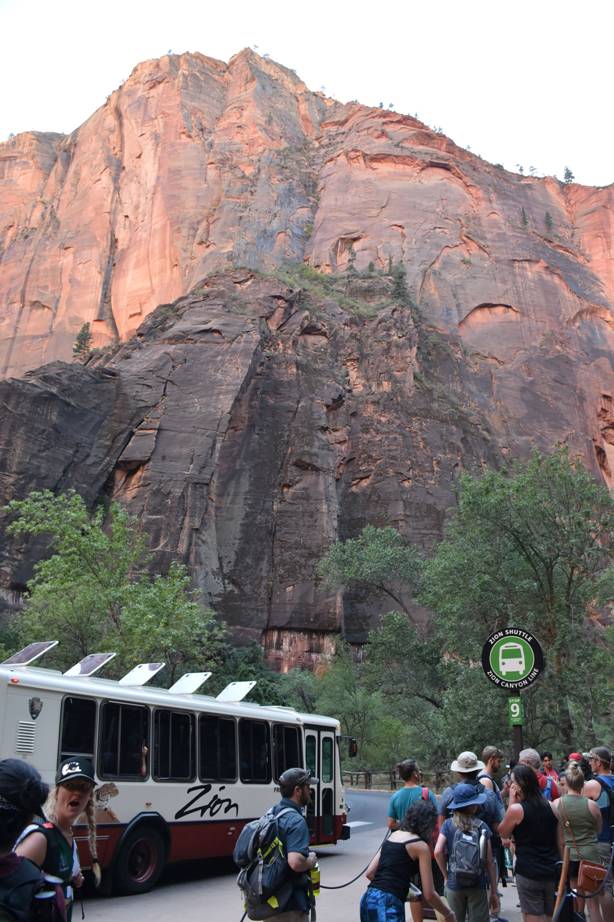
shuttle bus that runs every 15-20 minutes through town.
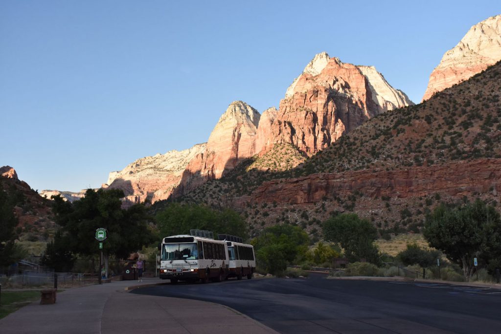
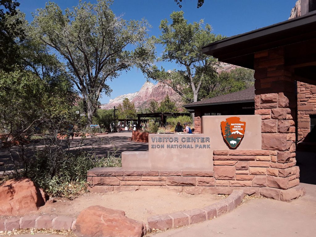
It takes you to the Visitor Center in the park,
where you can transfer onto the park shuttle buses.
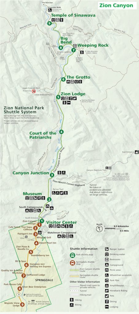
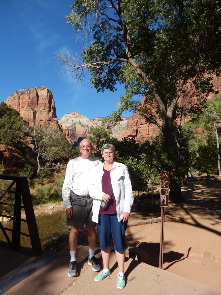
We rode the shuttle to the Visitor Center (#1) and will work our way north to green #9, Temple of Sinawava.
We are saving the museum (#2) for the return trip.
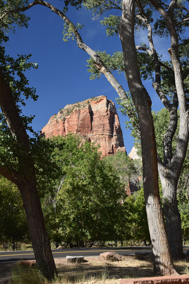
we were dwarfed by the surrounding rocks!
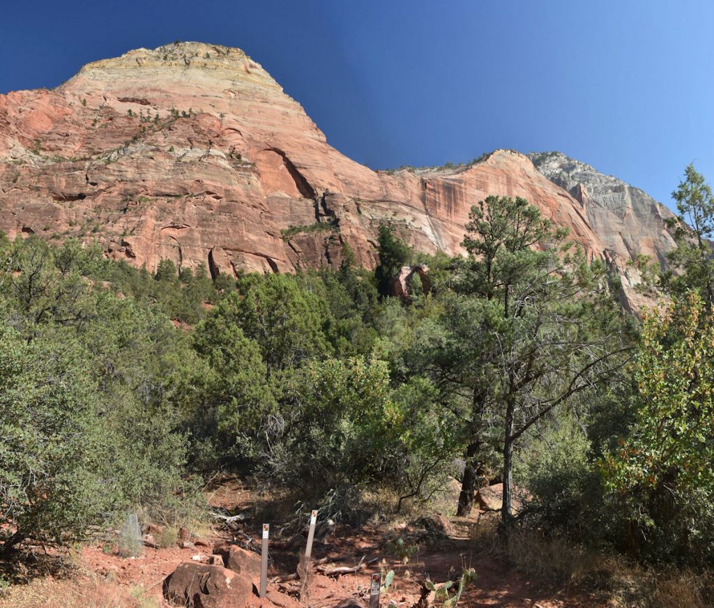
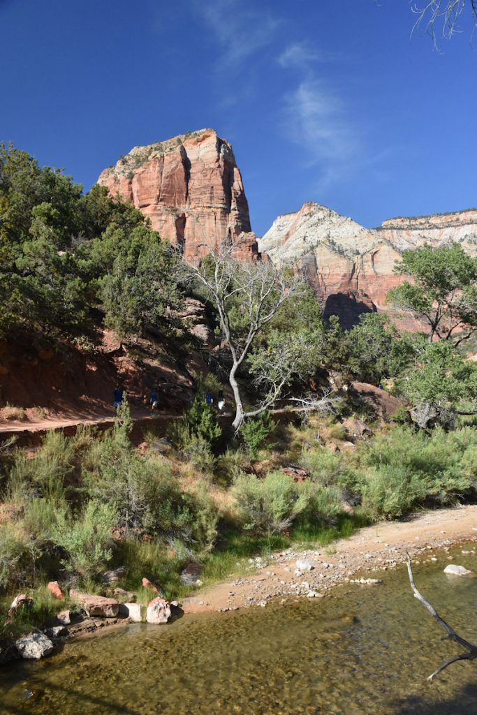
STOP #4 – Court of the Patriarchs
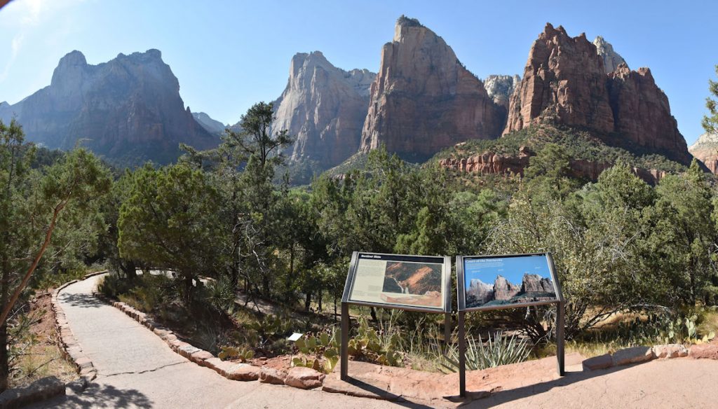
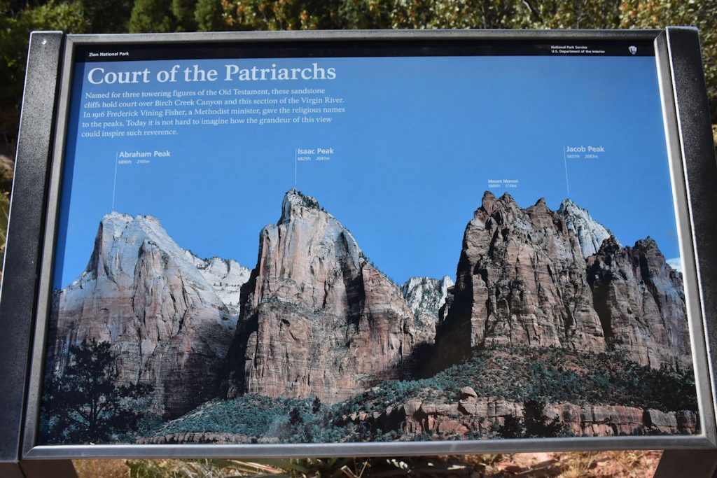
hold court over Birch Creek Canyon and the Virgin River.
This stop is mainly for the lodge and is a trail-head for one of the longer trails.
After a quick walk around, we jumped on the next shuttle bus.
STOP #6 – The Grotto
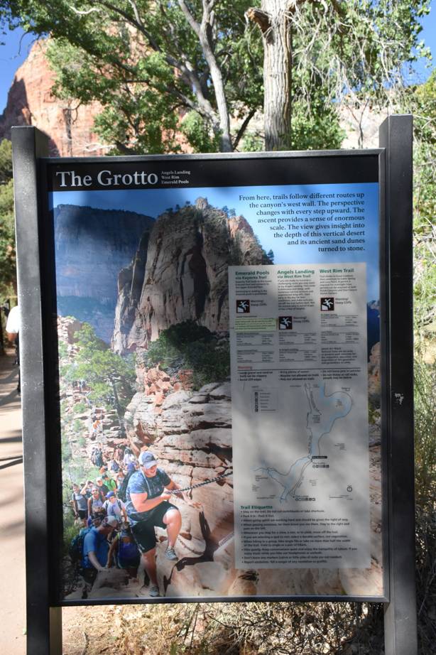
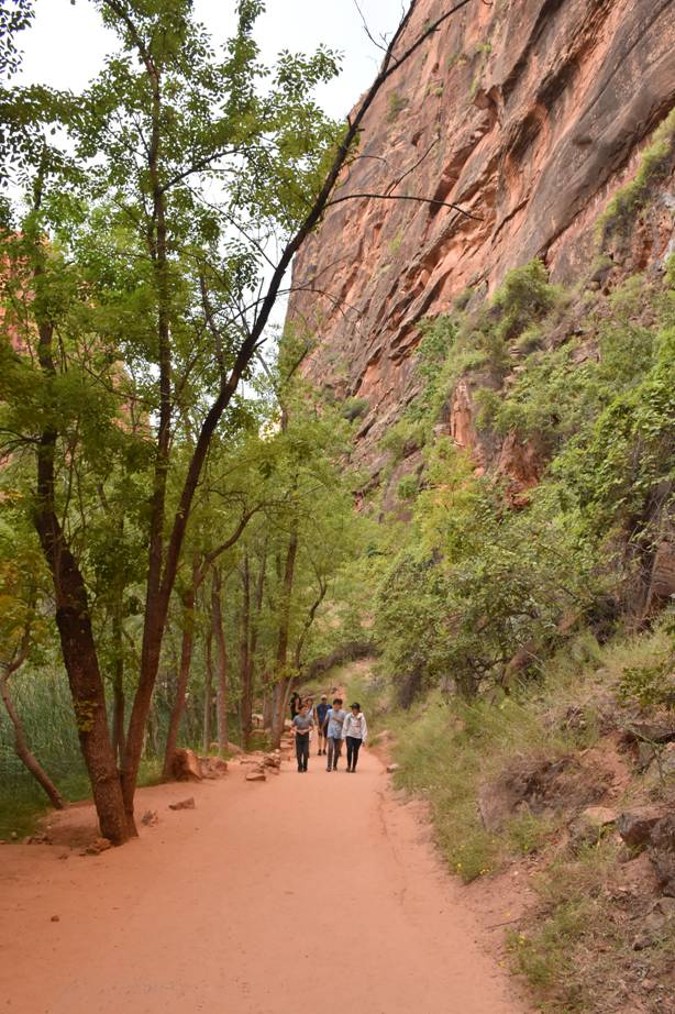
You can see some hikers on the trail.
We were anxious to see Weeping Rock (#7) since it has a variety of plant life growing where water seeps out of the rocks.
However, it was closed due to a recent landslide with large rocks. Oh well – on to #8.
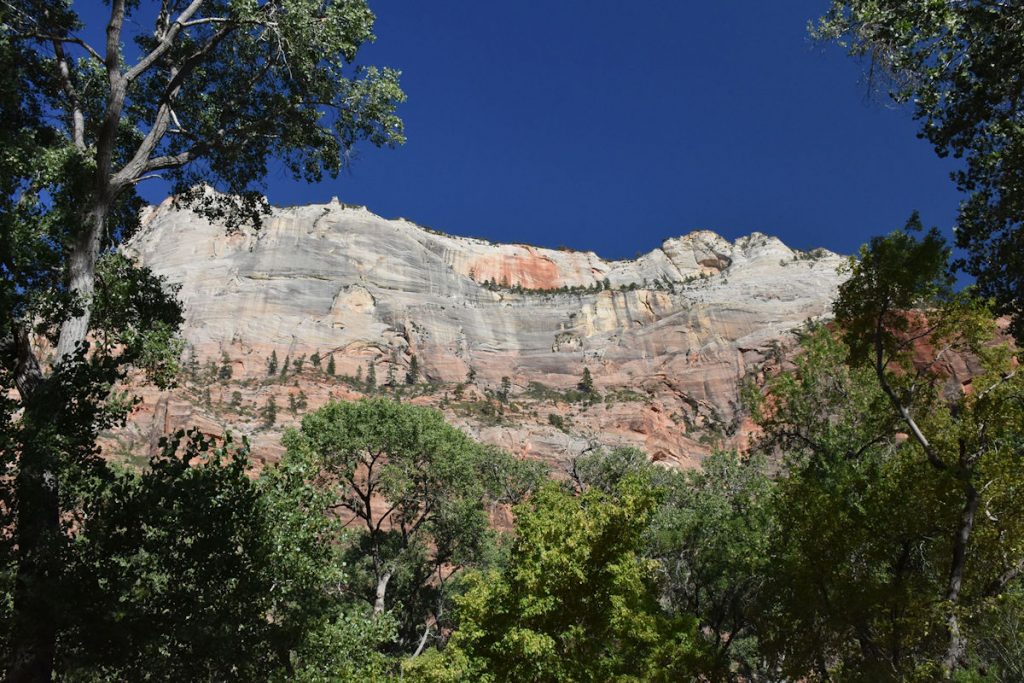
STOP #8 – Big Bend
Very appropriately named, Big Bend (#8) is at a big bend in the road.
Very scenic, but kind of off by itself.
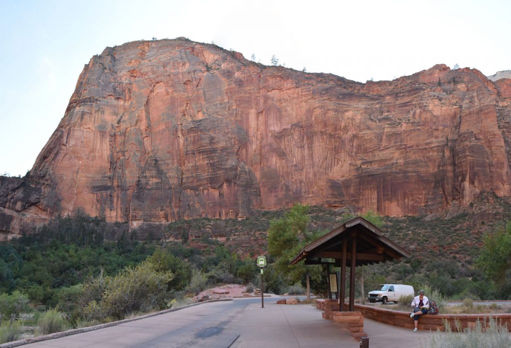
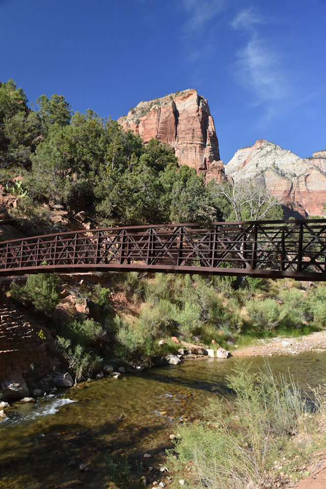
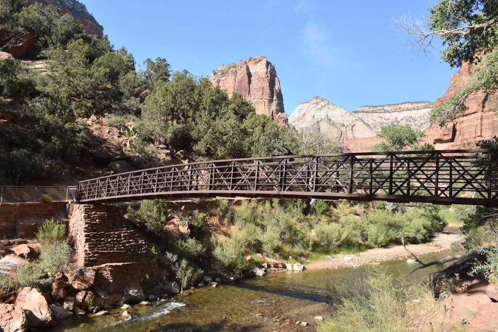
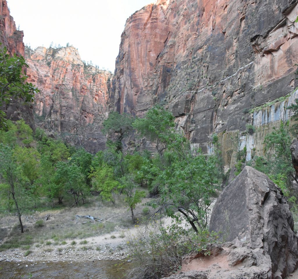
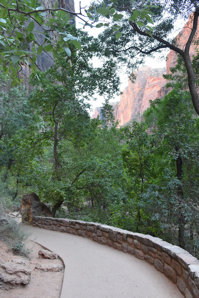
STOP #9 – Temple of Sinawava
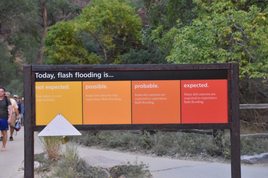
Sometimes they occur from storms miles away.
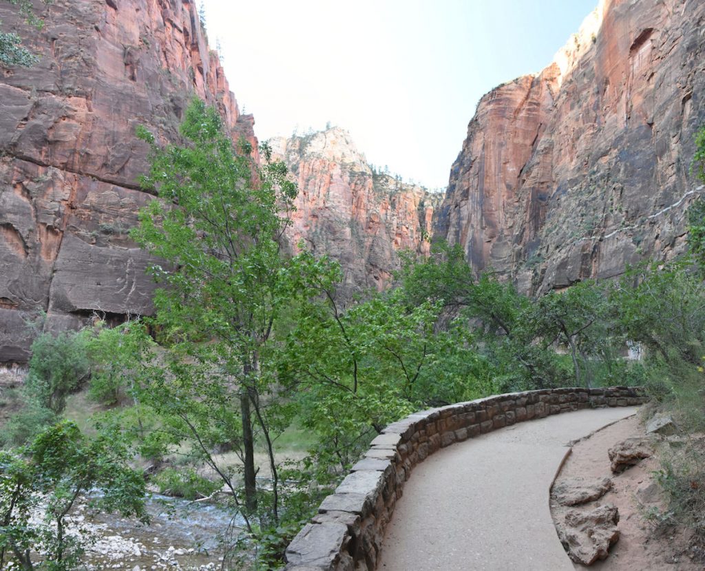
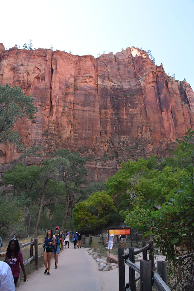
The Riverside Walk is paved for the first section.
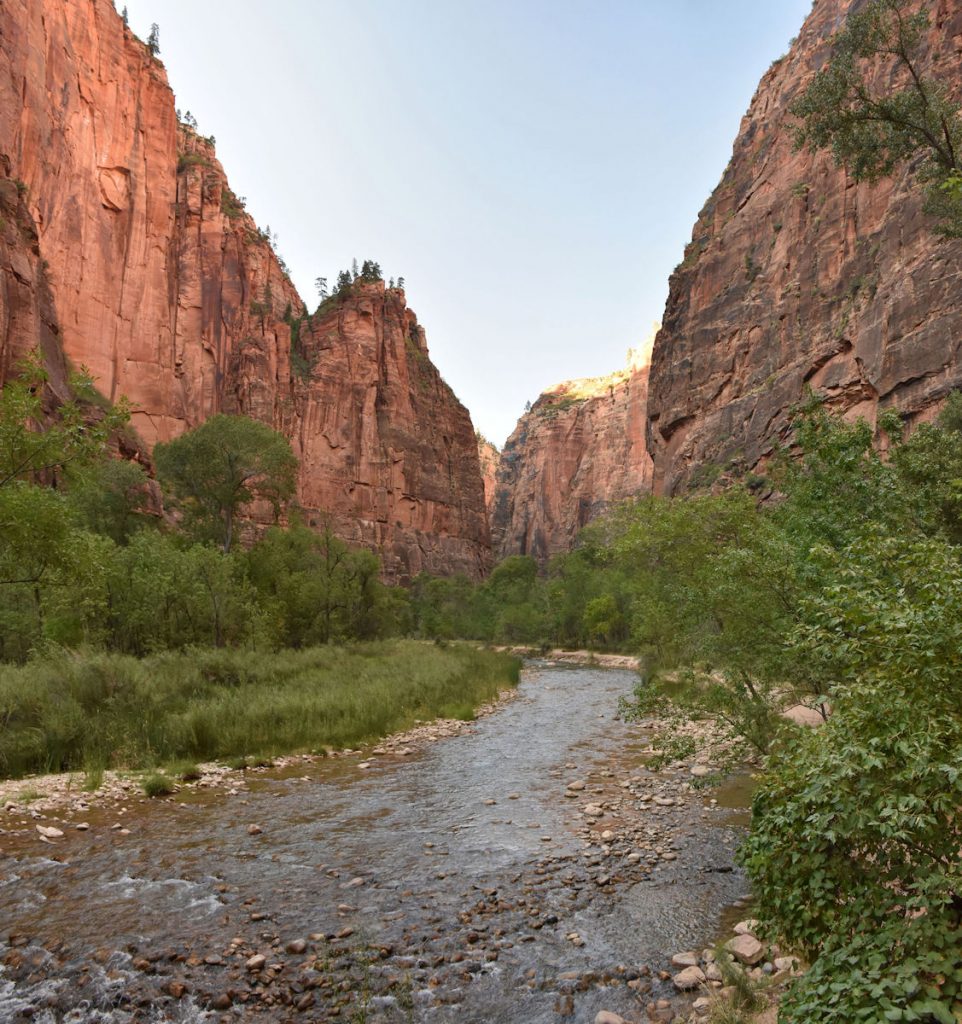
wade through the river to go farther upstream.
Since we didn’t bring dry shoes with us, we decided to turn around and head back.
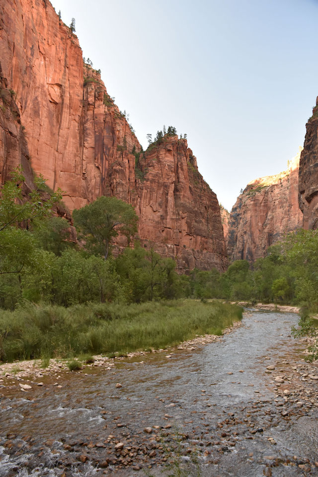
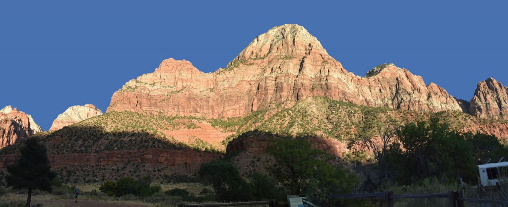
seeing the late afternoon sun lighting up the cliffs.
The late afternoon sun bathed the cliffs in a brilliant red light.
And now, here are some miscellaneous photos we took during the day.
STOP #2 – The Museum
We stopped at the Museum on our way back only to find that it was closed.
I forgot to set my watch up from Pacific Time when we entered Utah,
so it was an hour later than we thought. Oh well!
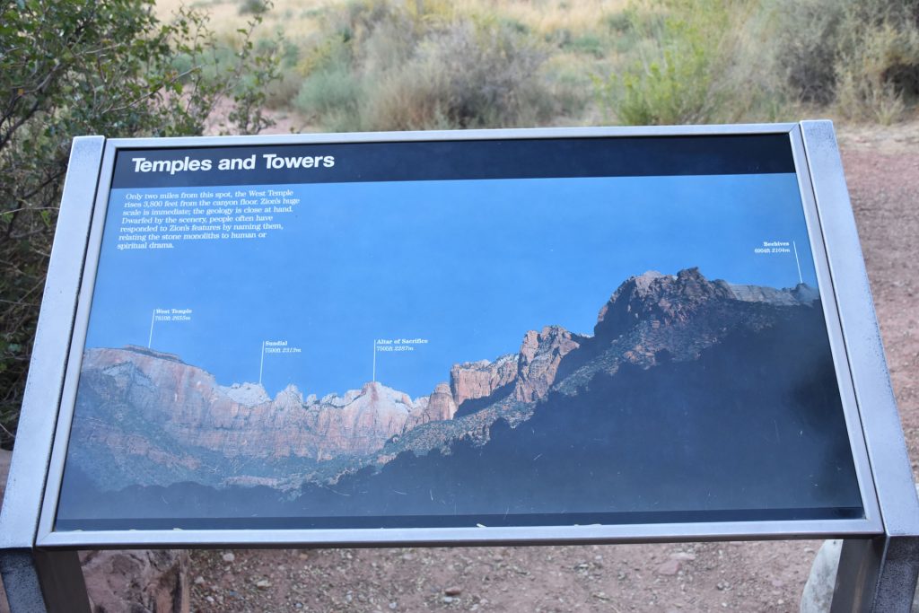
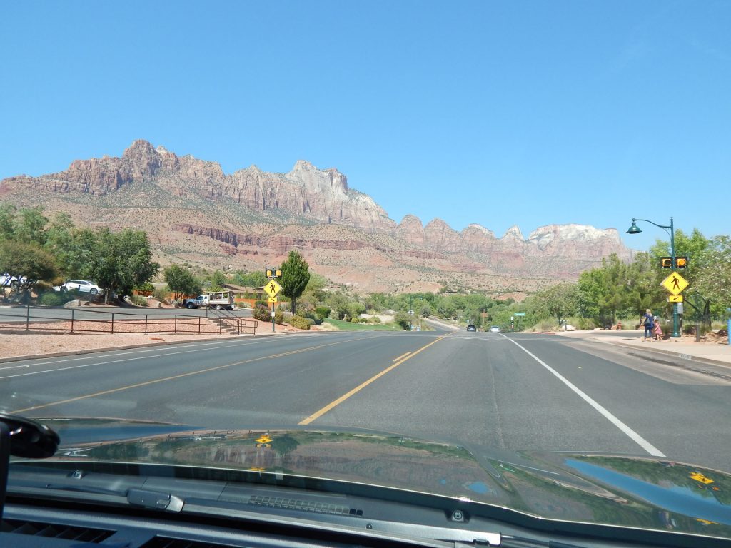
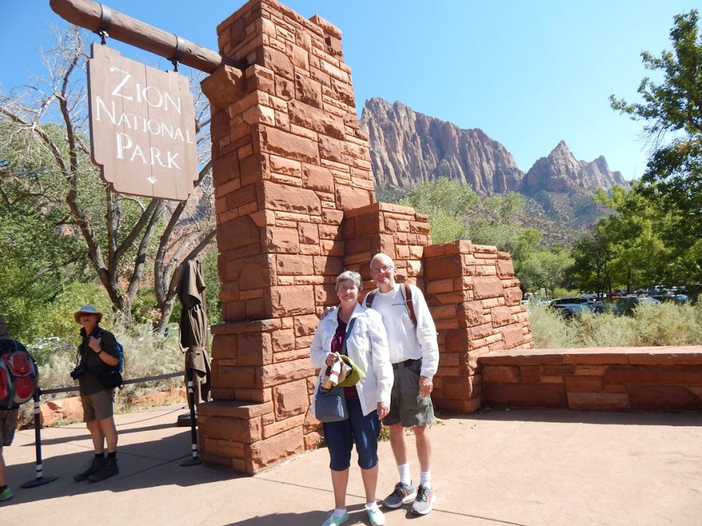
The mountains on this sign are visible in the next photo below.
then headed back to the hotel on the next shuttle.
Zion National Park Website: https://www.nps.gov/zion/index.htm
Learn more at Wikipedia: https://en.wikipedia.org/wiki/Zion_National_Park
Our original plan was to just get oriented today and really explore the park tomorrow before driving to our next hotel and hour south of here. Since we saw everything we wanted to see at the park today, we decided that tomorrow, we would get up, check in early at the next hotel and go explore the North Rim of the Grand Canyon, which is only an hour south of that hotel. That would put us almost a day ahead of schedule and allow for a rest day. (And laundry!)
Hope you enjoyed our travels today. Thanks for joining us. See you tomorrow!
Mileage Today: 252 Miles
Trip Total: 3,387 Miles
PROCEED TO DAY 15 – EAST ZION N.P., KANAB, UTAH AND THE GRAND CANYON NORTH RIM