
Southwest USA
Retirement Trip
September 2019
29 Days – 6,500 Miles – 19 States
7 National Parks
Several State Parks – 6,000+ Photos
1 Trillion Insects Squished by Car Windshield
From 108 Degrees to Snow
From 282 Feet Below Sea Level to 12,000+ Feet
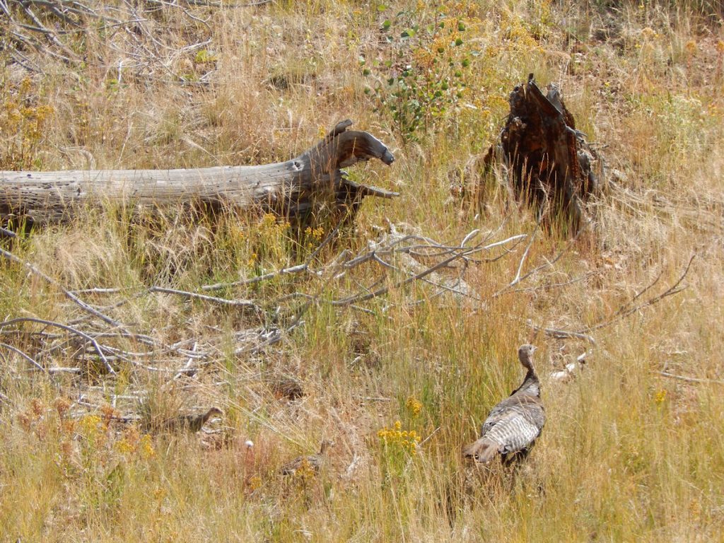
Bison, Elk, Prairie Dogs, Lizards, Wild Horses
Elvis, Aliens, John Wayne Westerns
Walking In The Footsteps of Forrest Gump
And More!
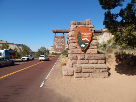
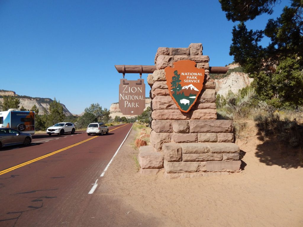
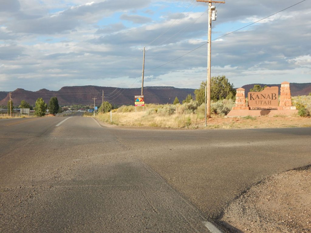
Zion National Park to Kanab, Utah and
Grand Canyon North Rim
Kanab is pronounced: kuh-NABB (Thank you, Katlin!)
Since we visited Zion NP yesterday, we are ahead of schedule. Today, we decided to drive to our next hotel in Kanab, Utah
which is only about 60 miles from Zion NP. From there, we would continue south for an hour to explore the Grand Canyon North Rim.
It’s a beautiful, sunny day so let’s go!
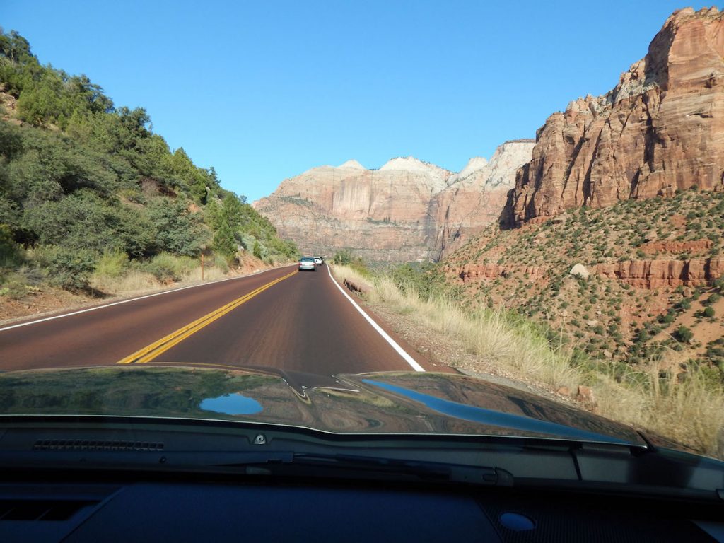
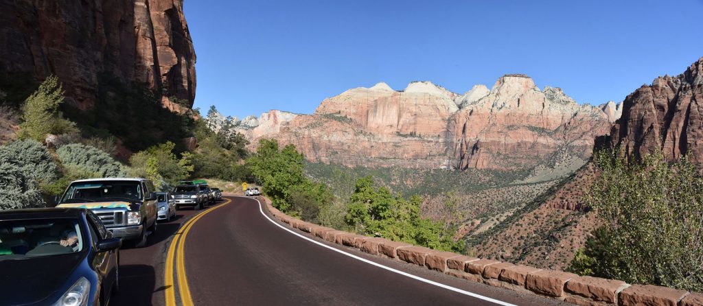
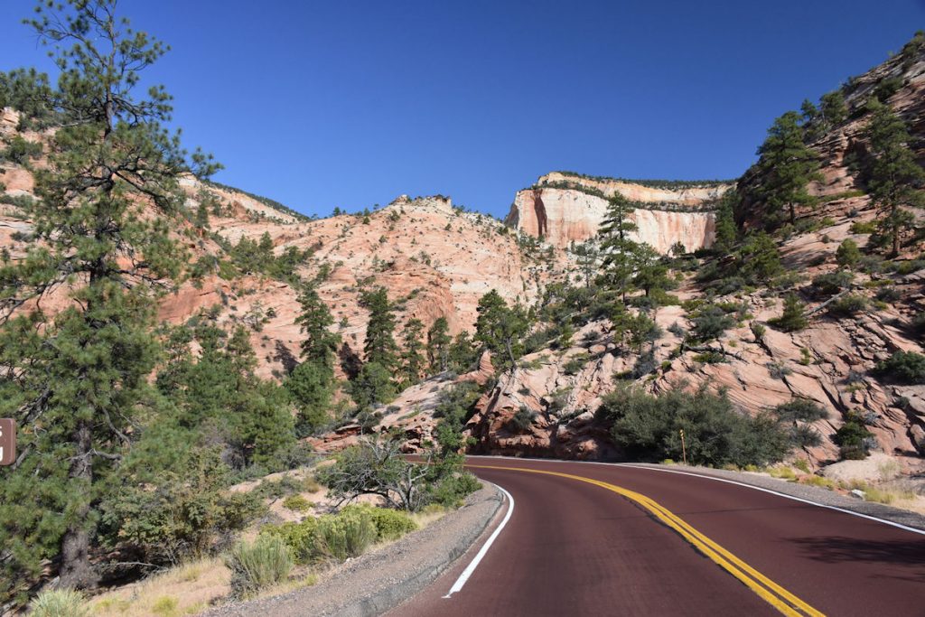
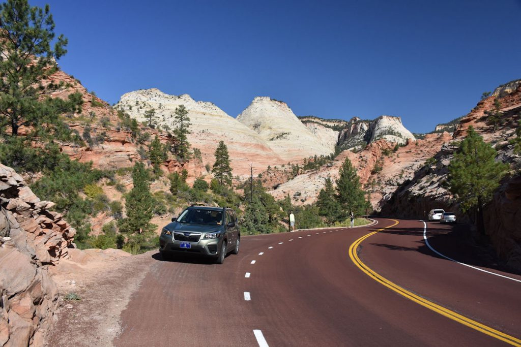
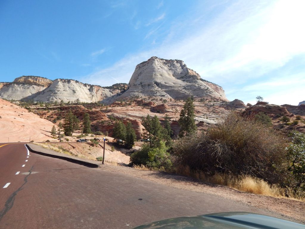
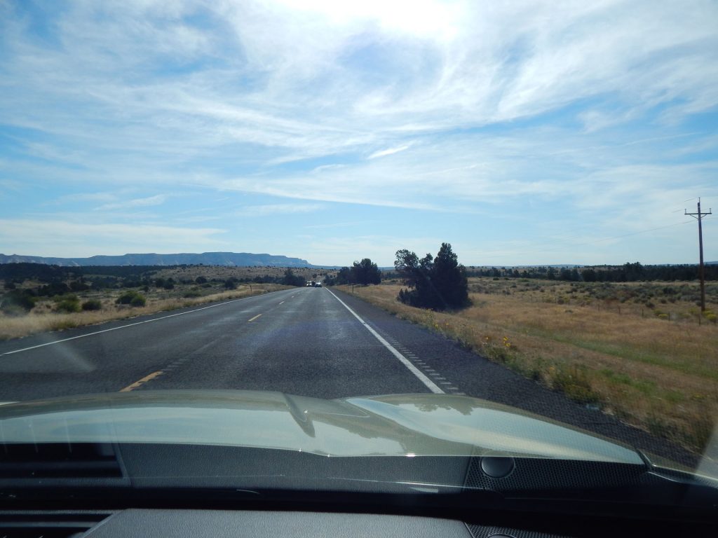
Rt 9 actually goes through the park and exits the east side on the way to Kanab.
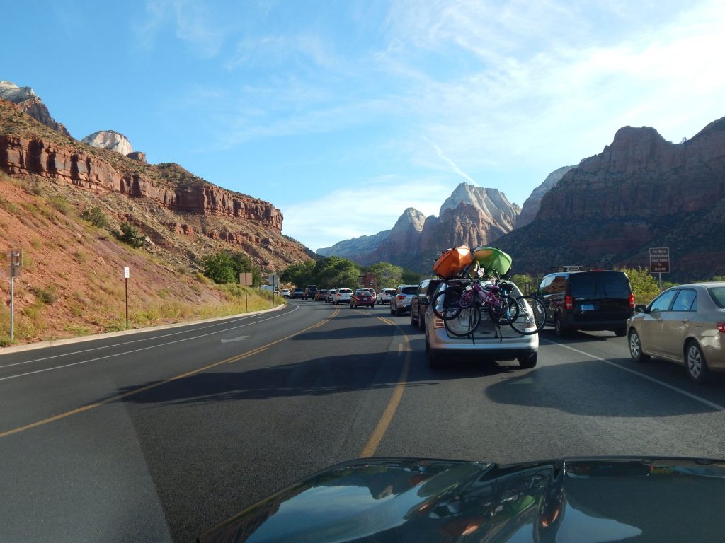
First, we must go through the morning rush at the gate. It didn’t take too long, though.
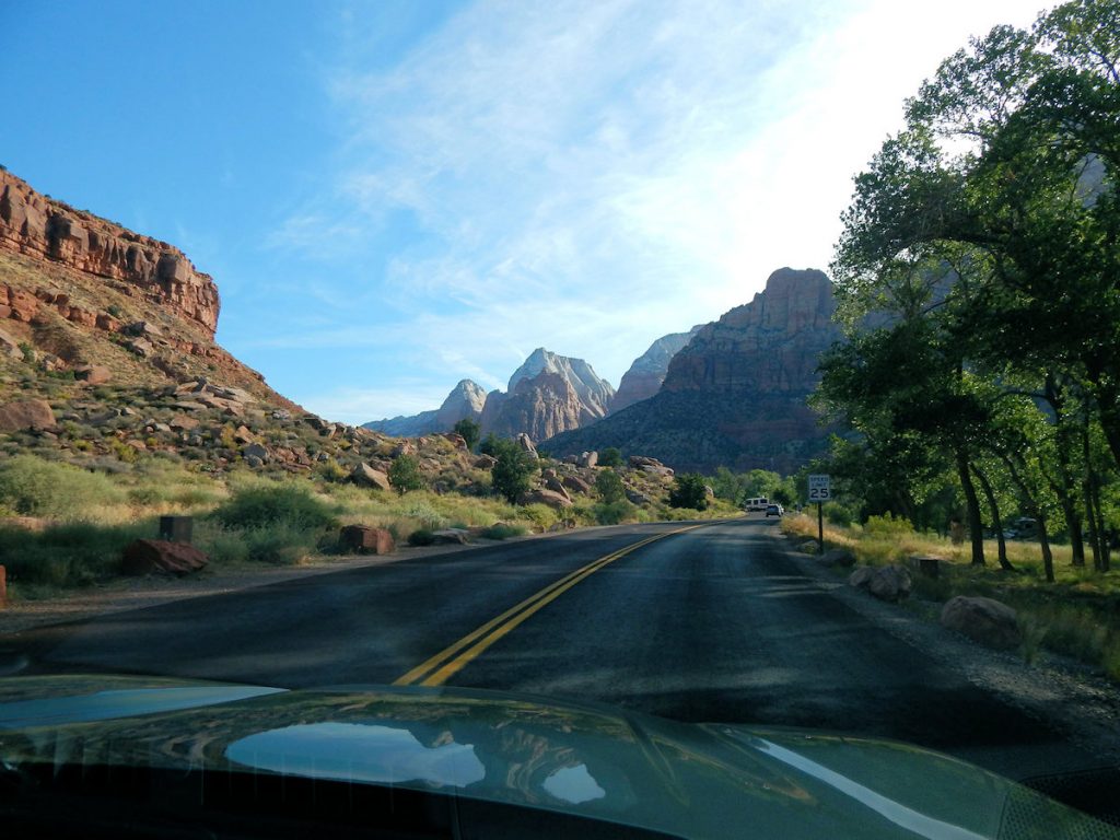
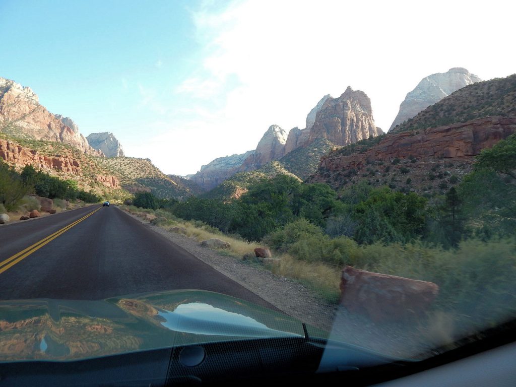
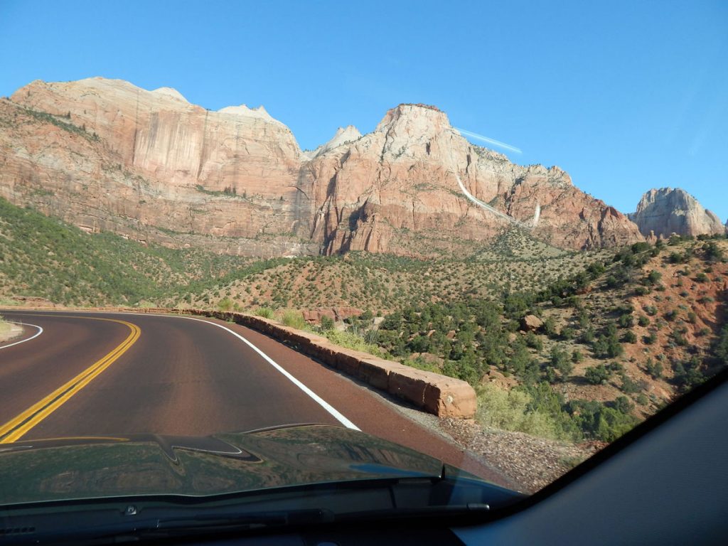
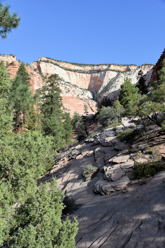
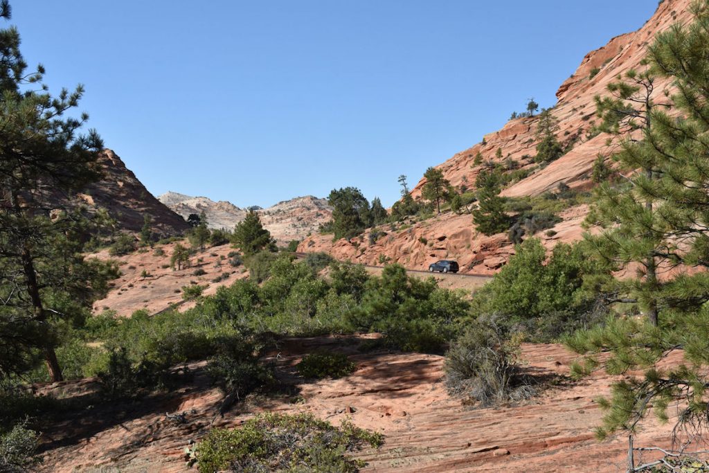
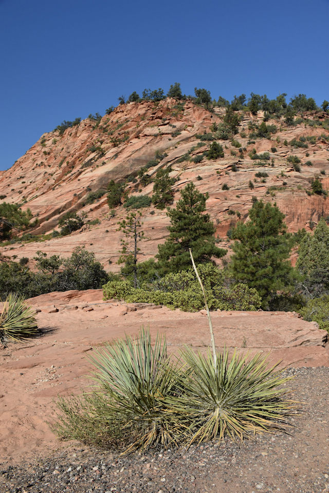
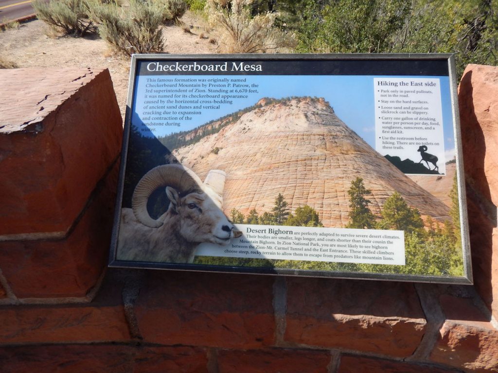
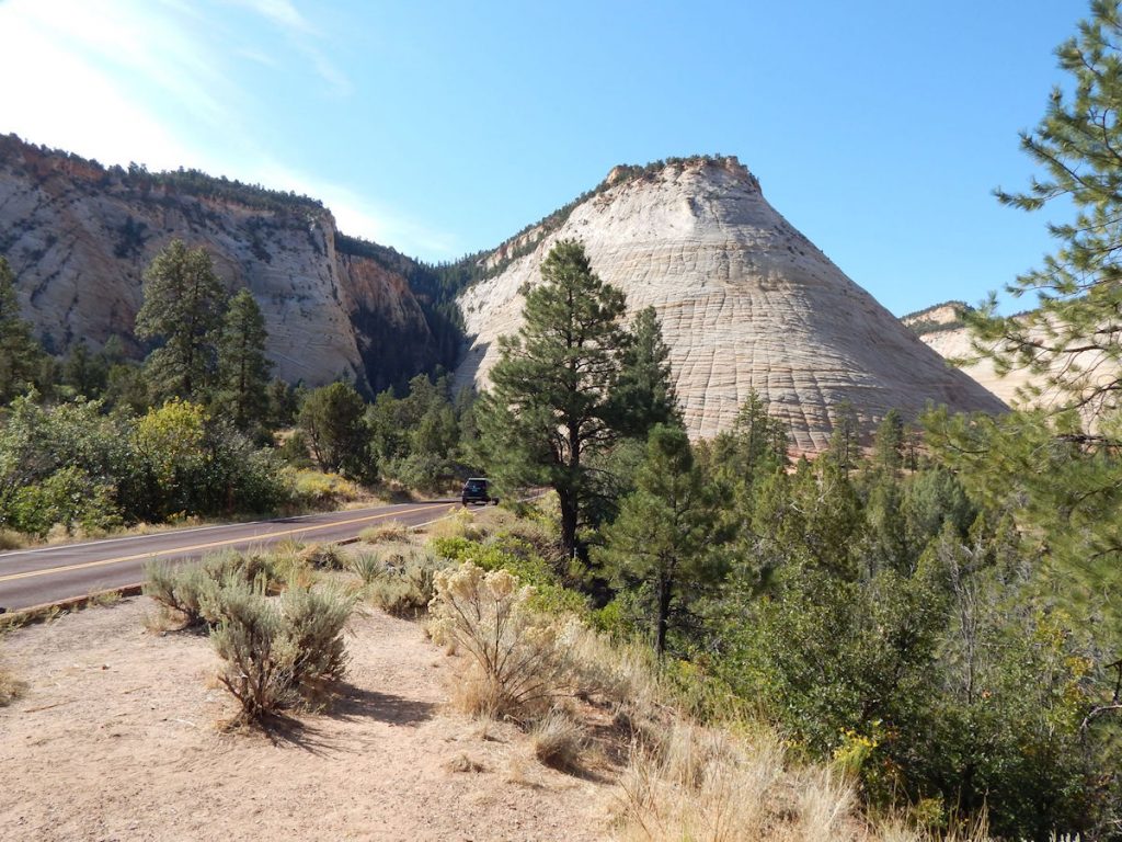
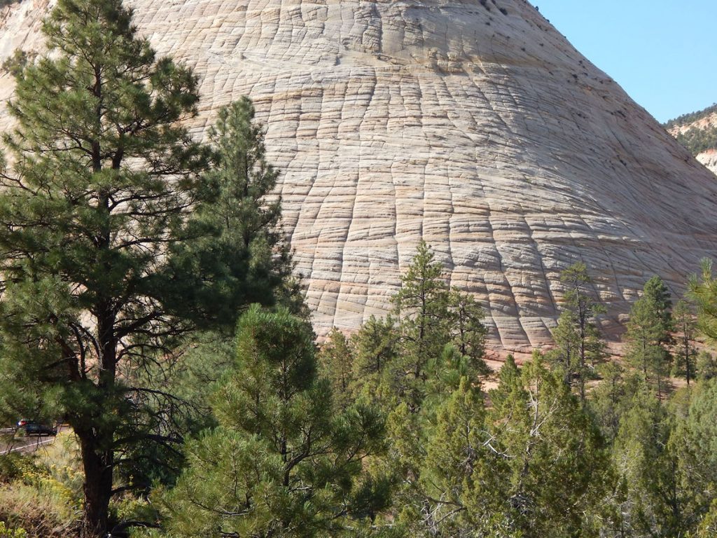
Zion – Mt Carmel Highway through the eastern half of the park.
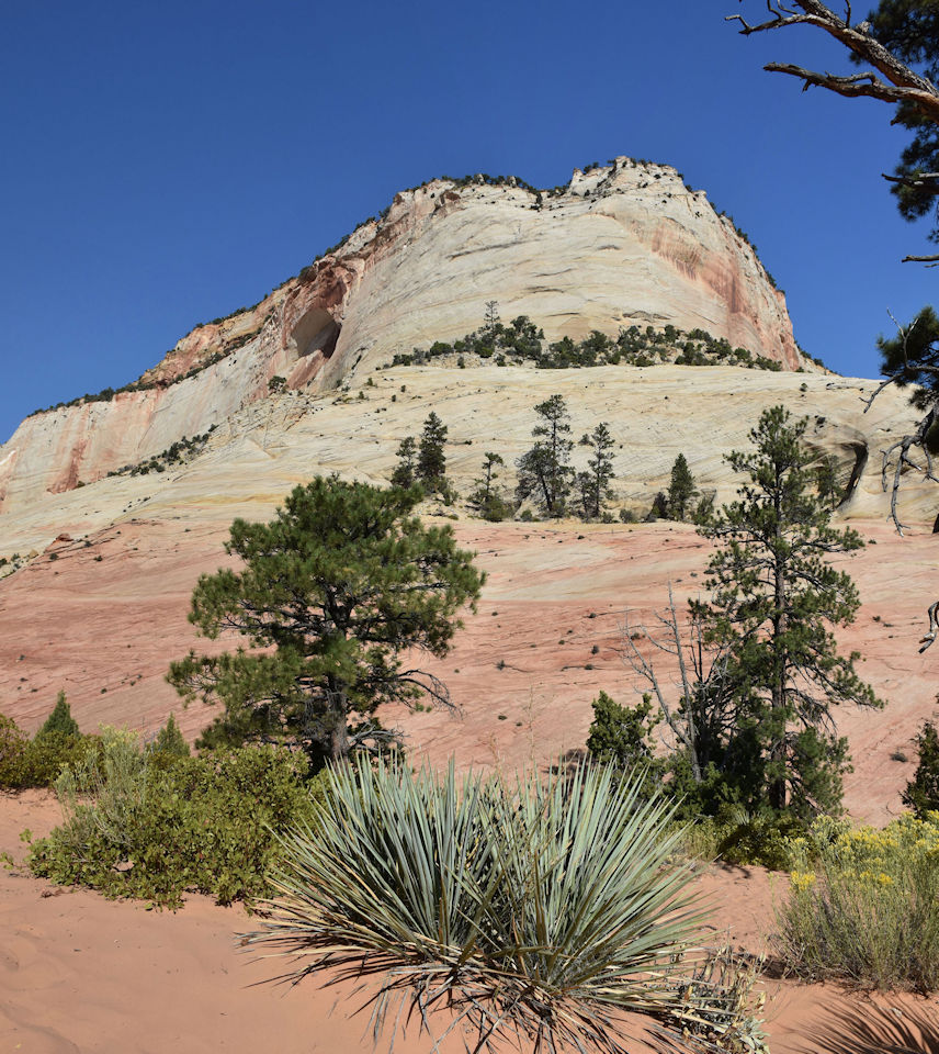
As incredible as the scenery was yesterday in the canyon,
this part of the park was maybe even nicer!
Around every curve was a new vista!
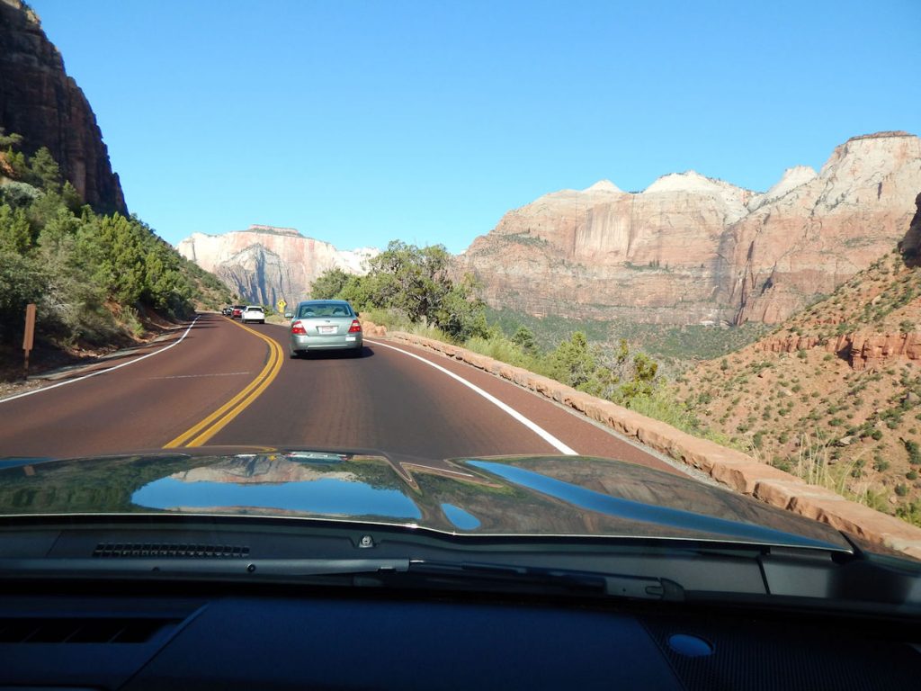
That “curb” of rocks is all that keeps you from rolling down the cliff.
Beth was not very happy about that.
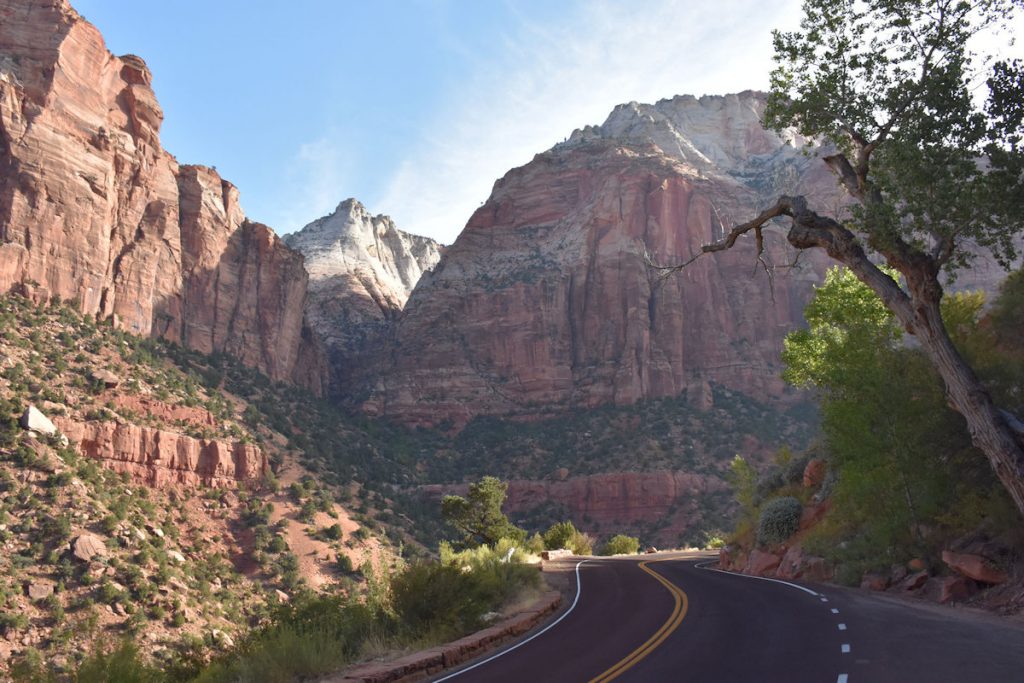

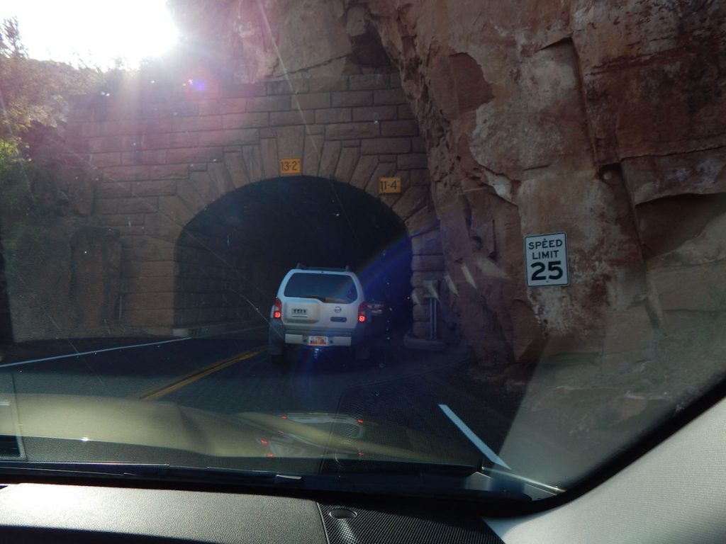
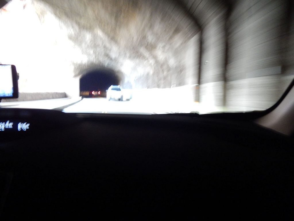
Once we were through the tunnel, I wanted to park and walk out to the canyon overlook, but the few parking spots were full and lines were waiting.
We decided we have already seen plenty and it was time to move on.
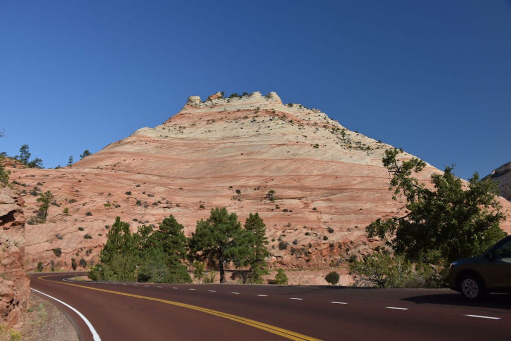
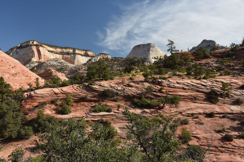
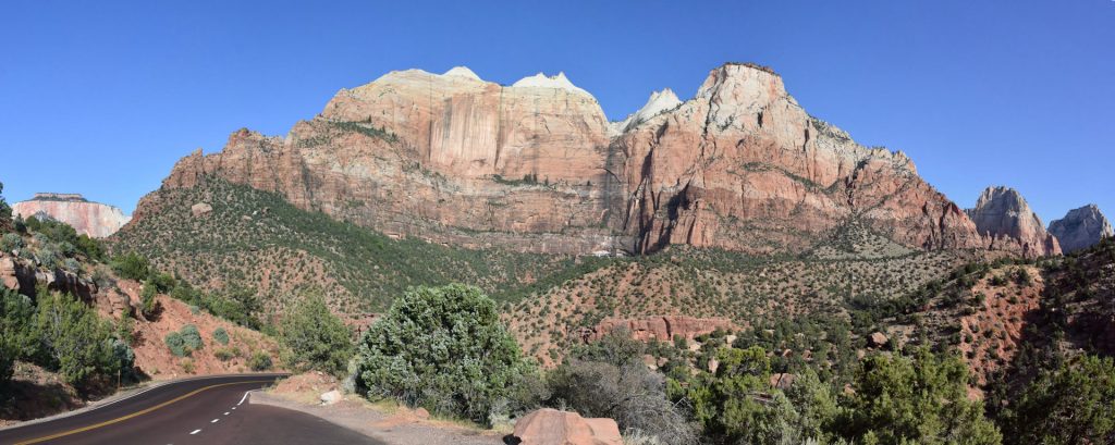
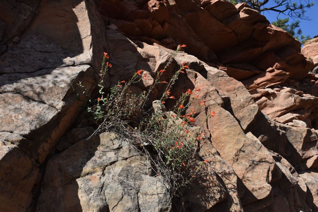
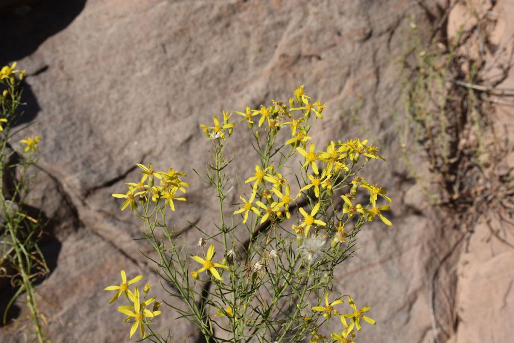
So many different types of formations and colors.
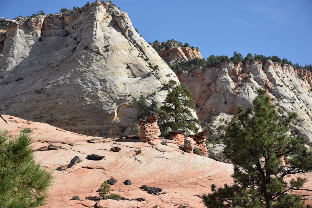
A hoodoo is defined as a column or pinnacle of weathered rock. They can be anywhere from 5 – 150 feet tall.
Hoodoos form when a hard “cap” protects the softer rock underneath from weather and water erosion.
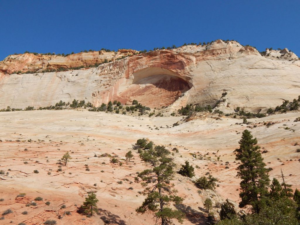
If you look high on the mountain and to the left, you will see an opening.
See the next photo for a description and close-up.
We saw several at Arches NP (coming up in about 4 days).
A Blind Arch is an arch of rock still attached to the rock face.
We really enjoyed the drive through the eastern half of Zion NP this morning! Hope you did, too!
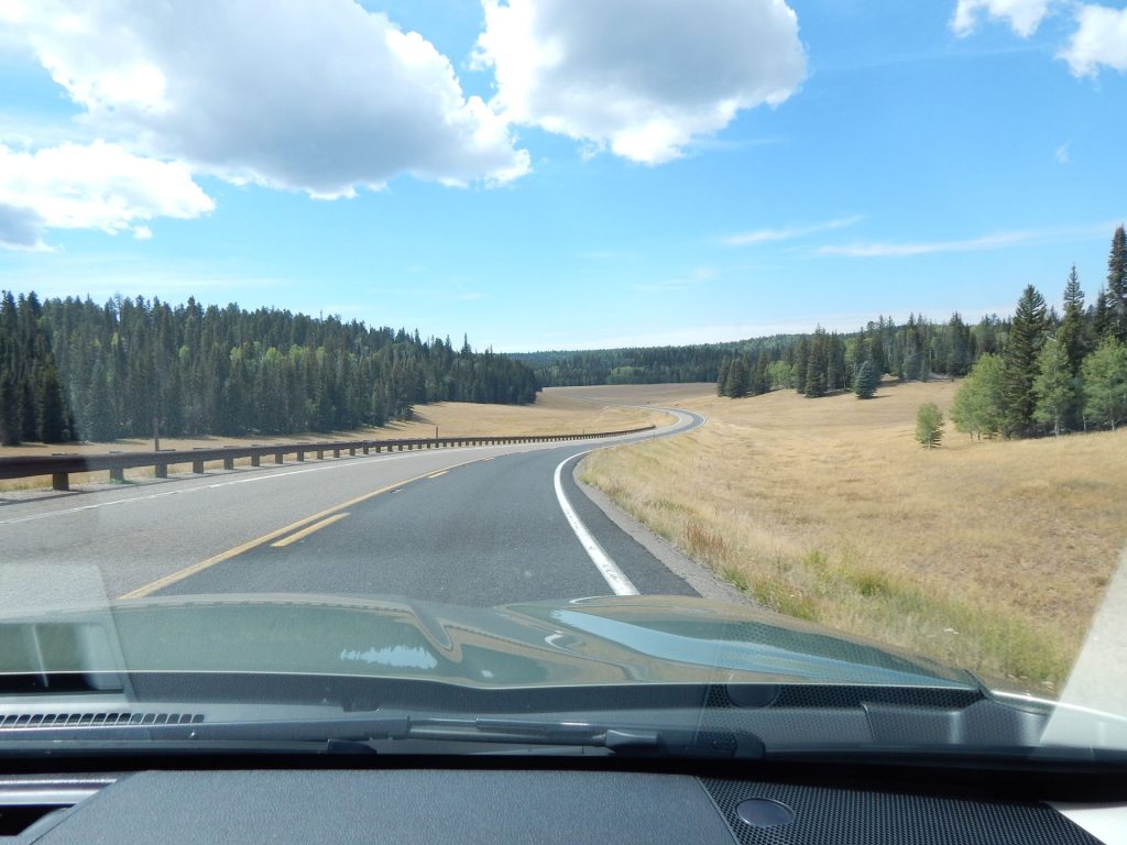
After leaving Zion National Park, we headed east on Rt 9 then south on
Rt 89 to Kanab, Utah to our next hotel.
It’s less than an hour from here.
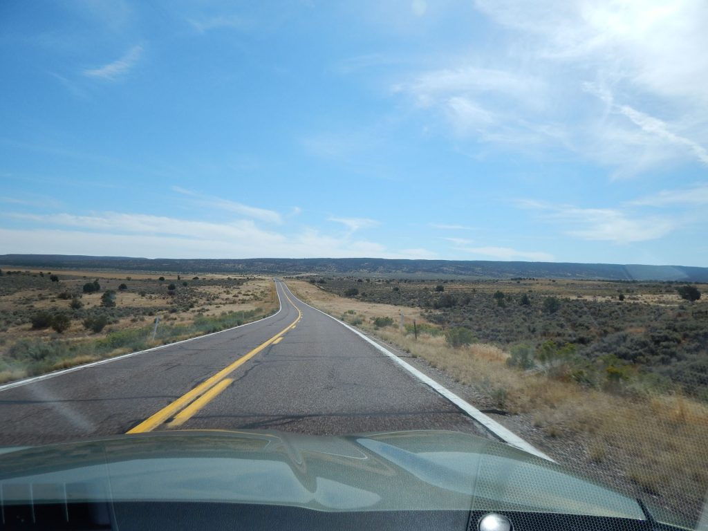
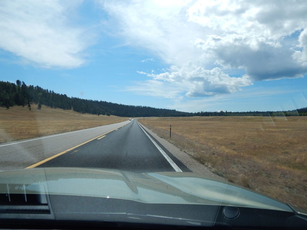
This is Rt 89 somewhere north of Kanab.
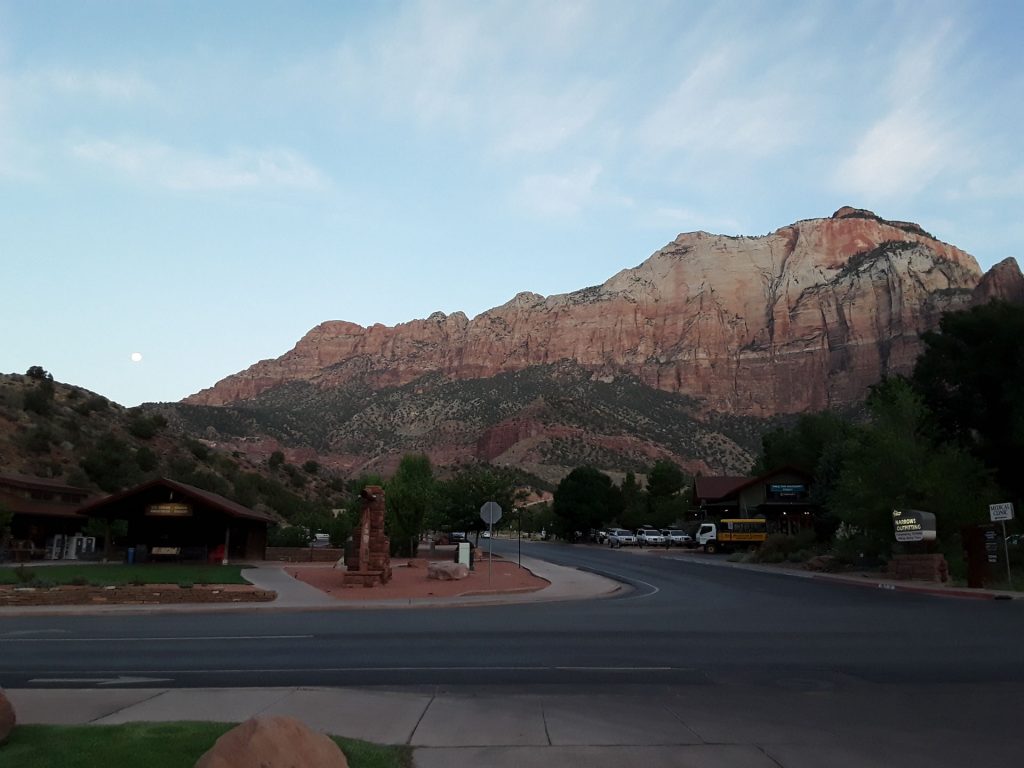
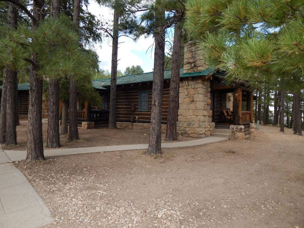
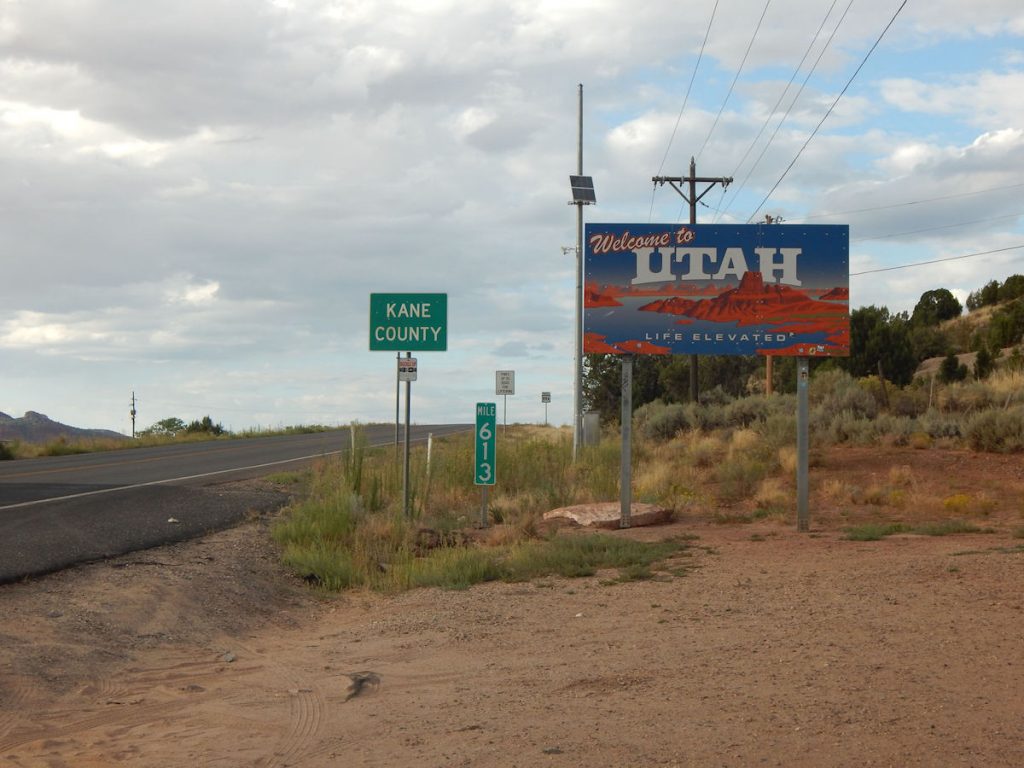
KANAB, UTAH
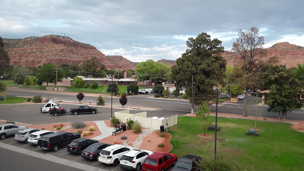
This is the view from our hotel window.
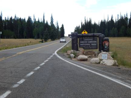
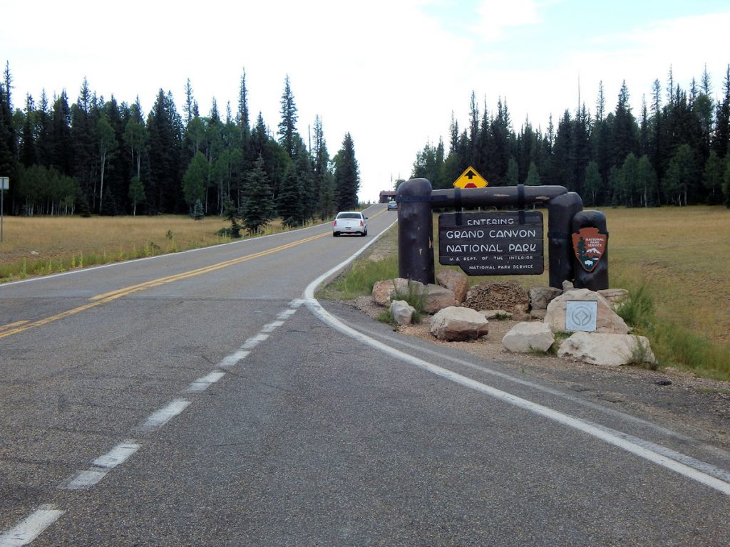
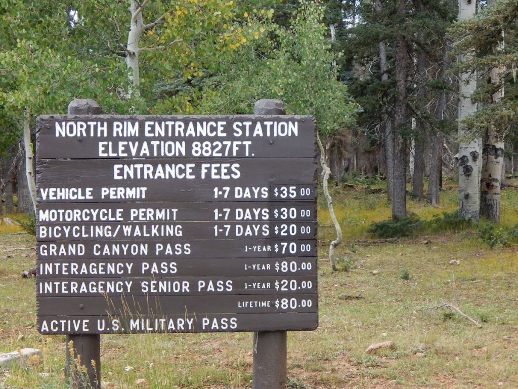
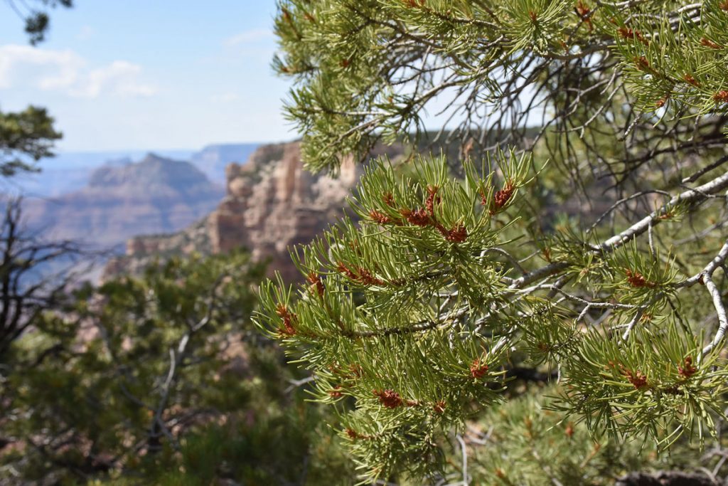
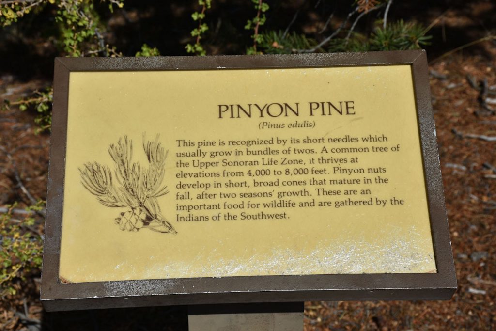
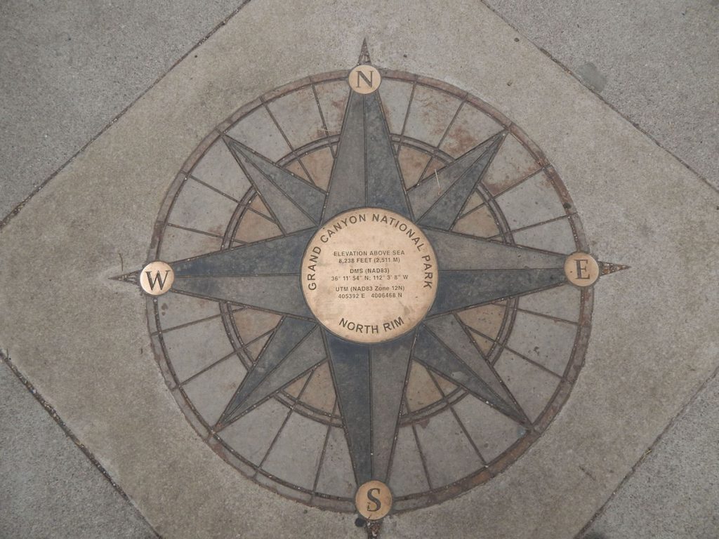
GRAND CANYON – NORTH RIM
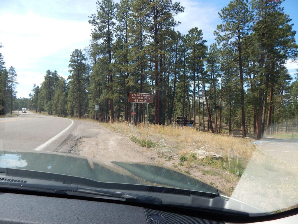
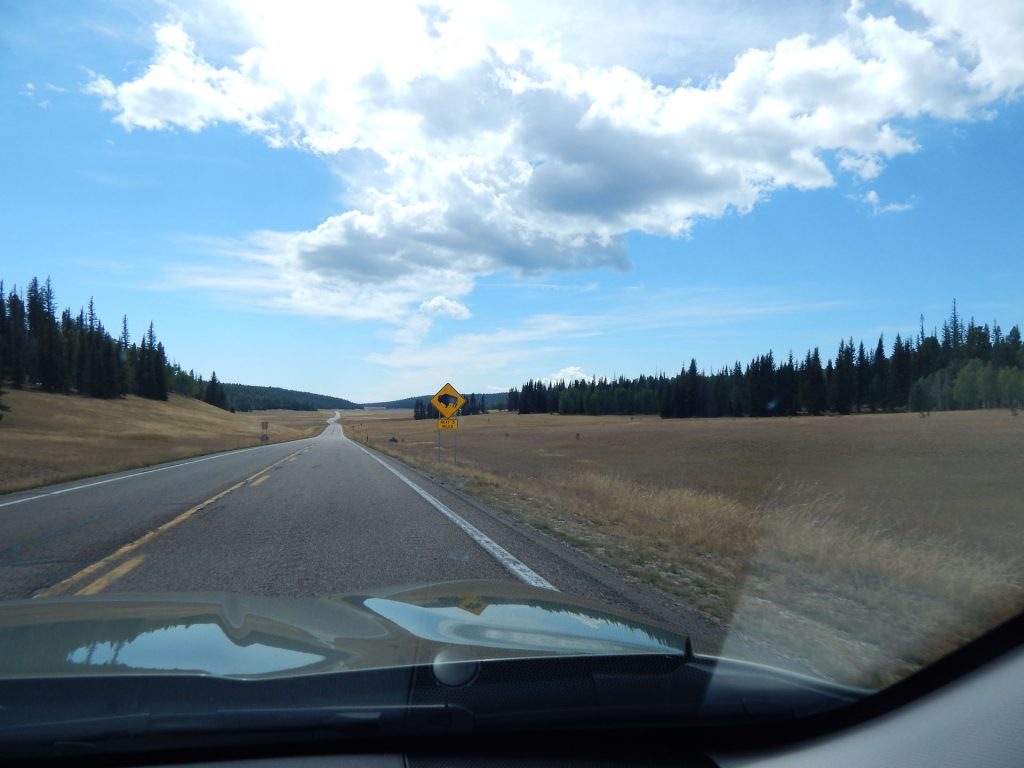
This is the second time on this trip we’ve seen a sign like this!
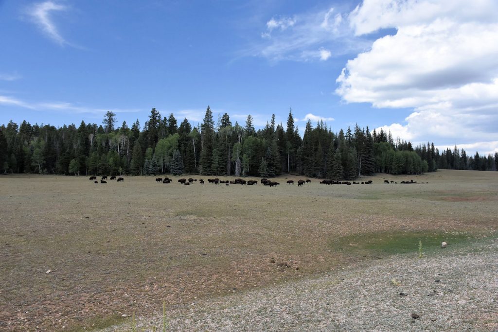
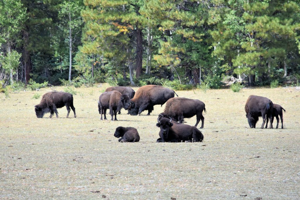
Just a few miles down the road, we came upon this herd of bison grazing and resting in a field.
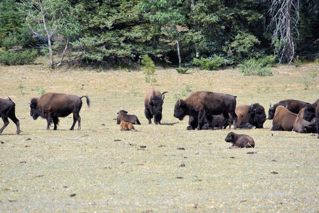
Because this area is at 8,000-feet elevation, winters here are long and harsh.
In fact, the road into the North Rim is not even plowed and opened until mid-May.
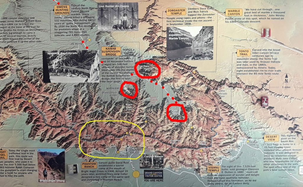
Today, we enter from the top of the photo and come down to the 3 red circles.
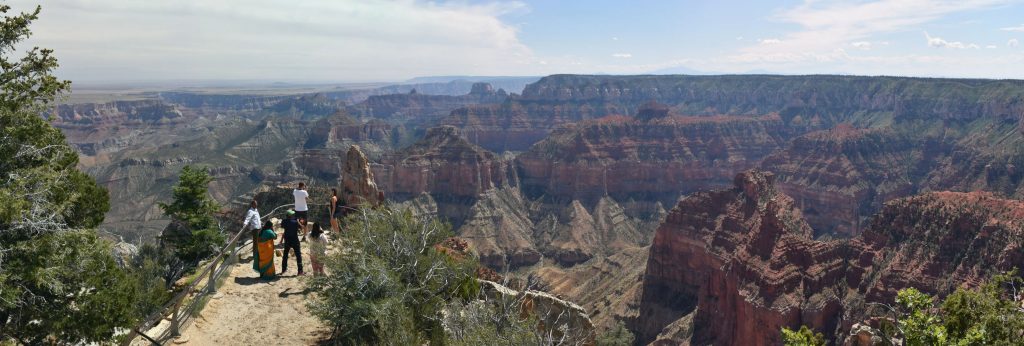
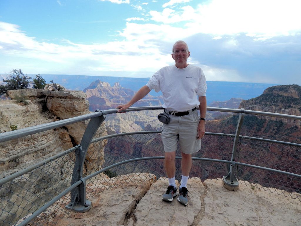
First, we visit the upper right circle is Point Imperial, the highest overlook on the Grand Canyon.
Next, we will visit Cape Royal to the lower right.
Then, we will finish up at the Visitor Center and Bright Angel Point to the middle left.
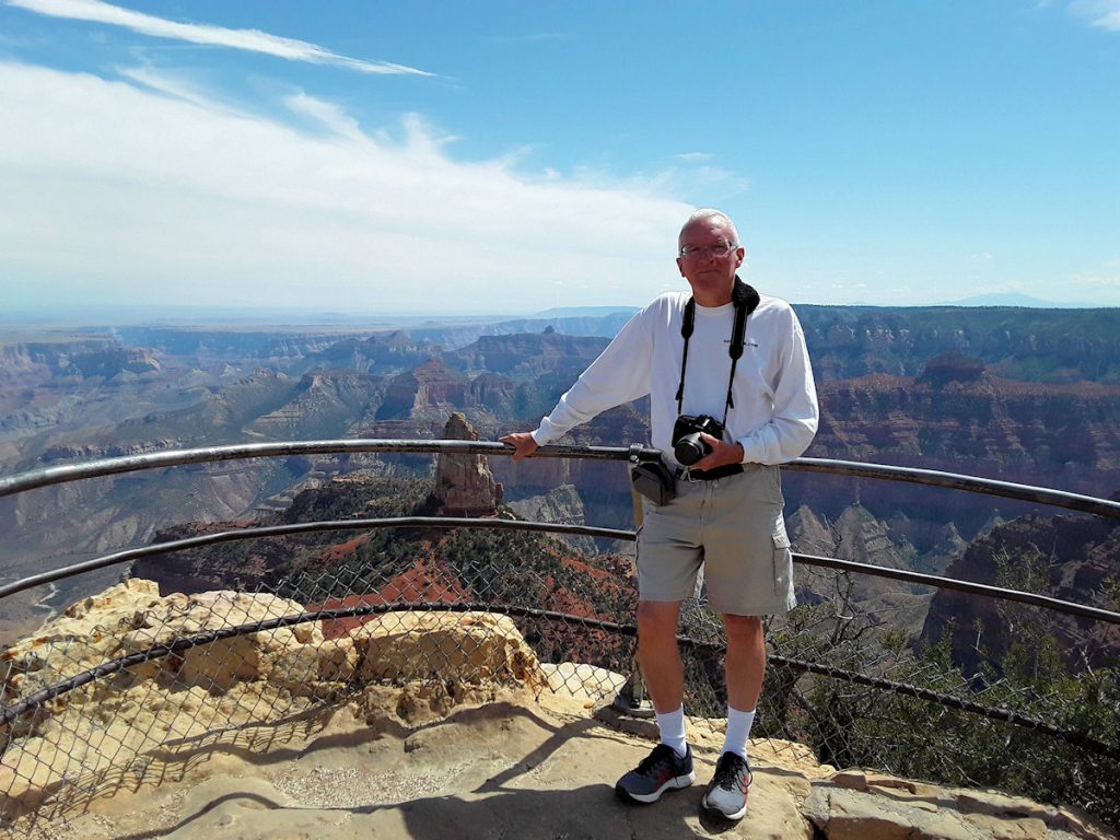
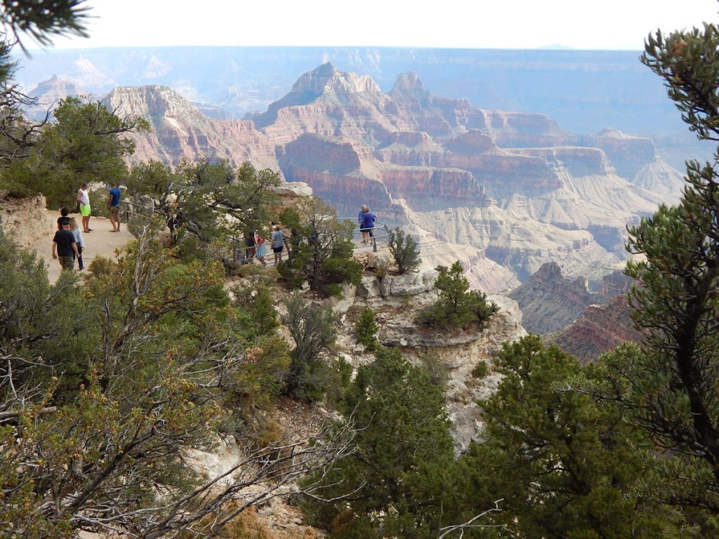
POINT IMPERIAL
Just before reaching the Visitor Center, we turn east on the road to Point Imperial and Cape Royal.
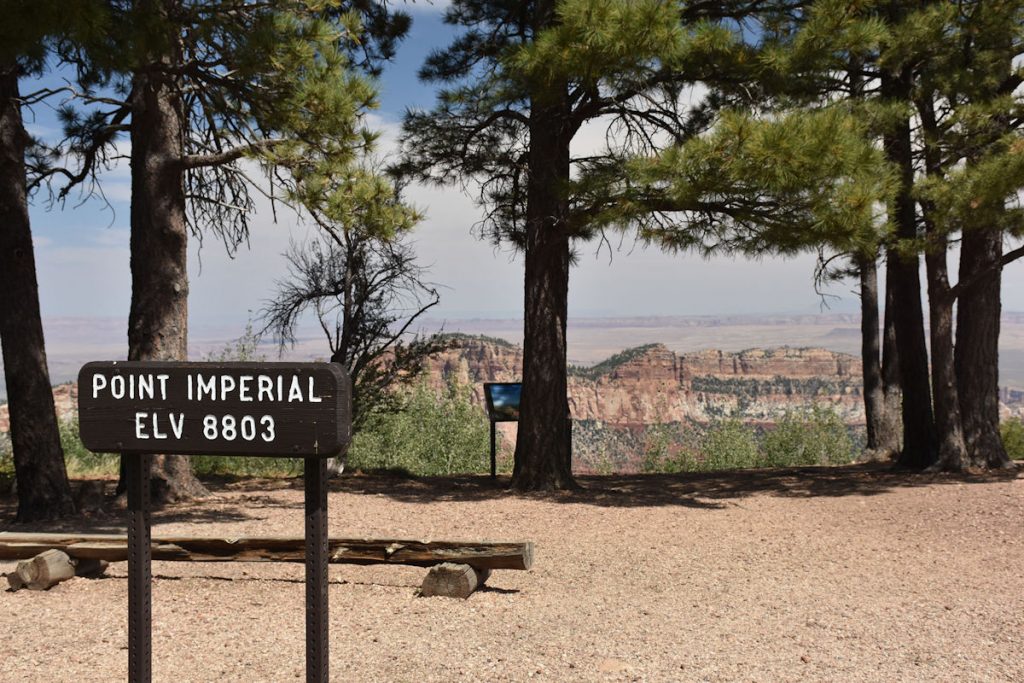
At over 1,000 feet higher than the overlooks at the South Rim, this is the “high point” of our trip — but not for long.
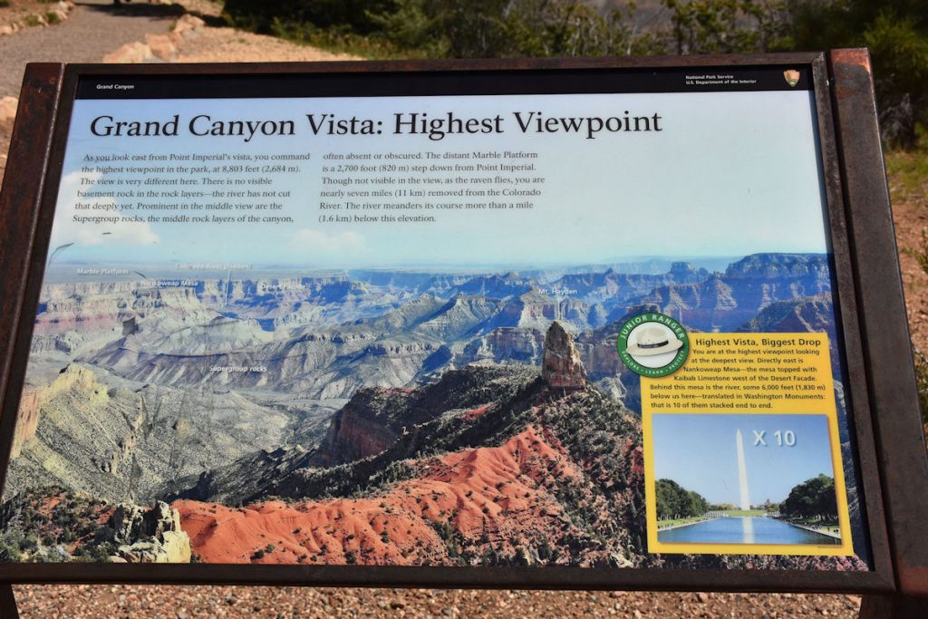
Over 10 Washington Monuments deep!
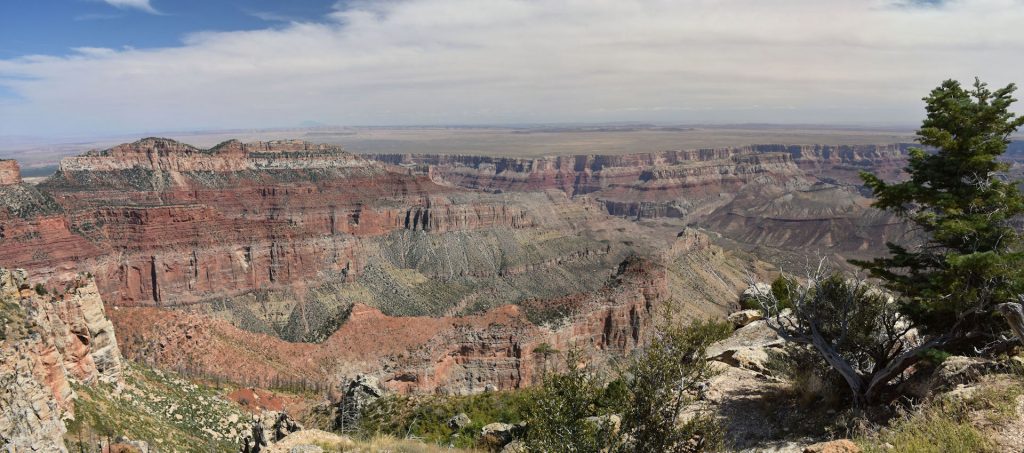
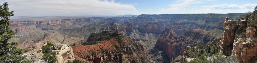
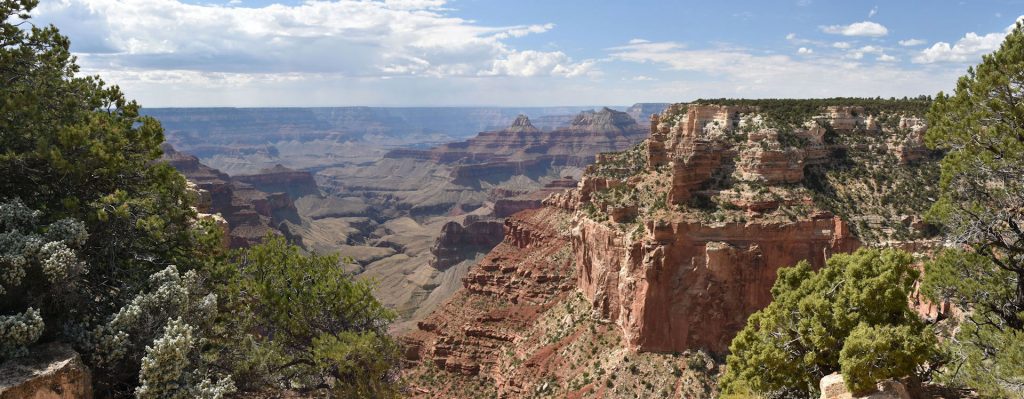
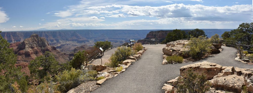
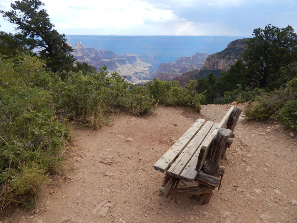
Next, we drove south about 15 miles to the Cape Royal overlook.
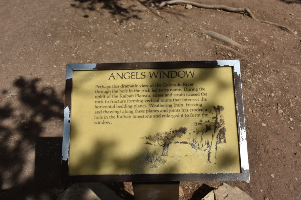
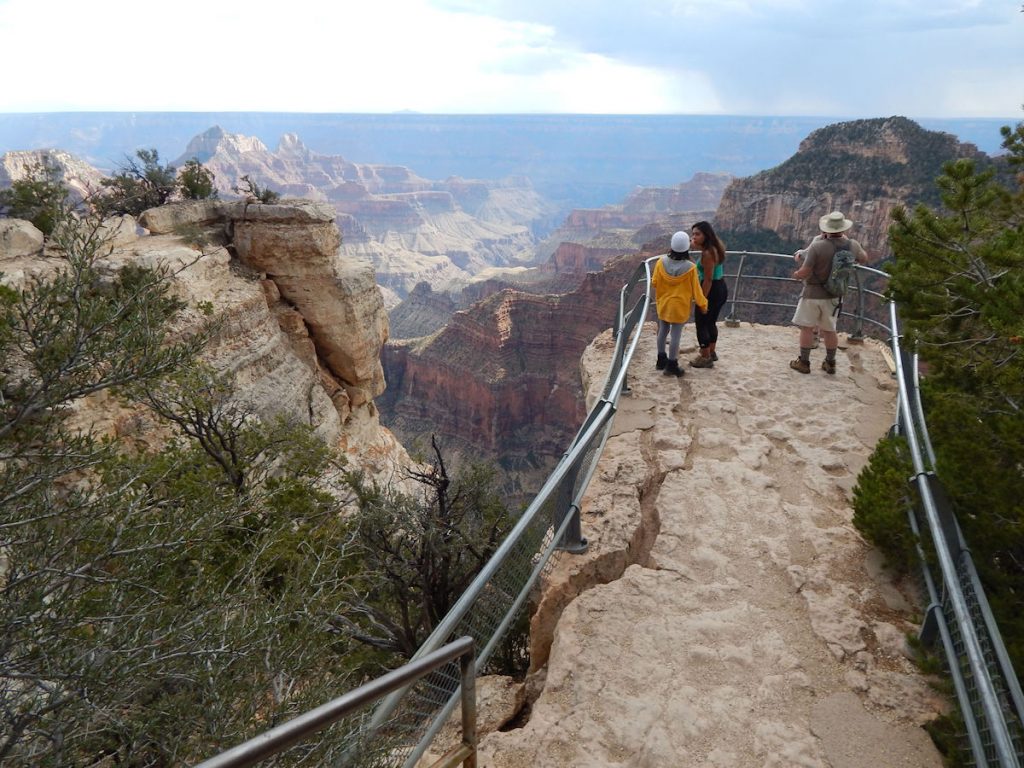
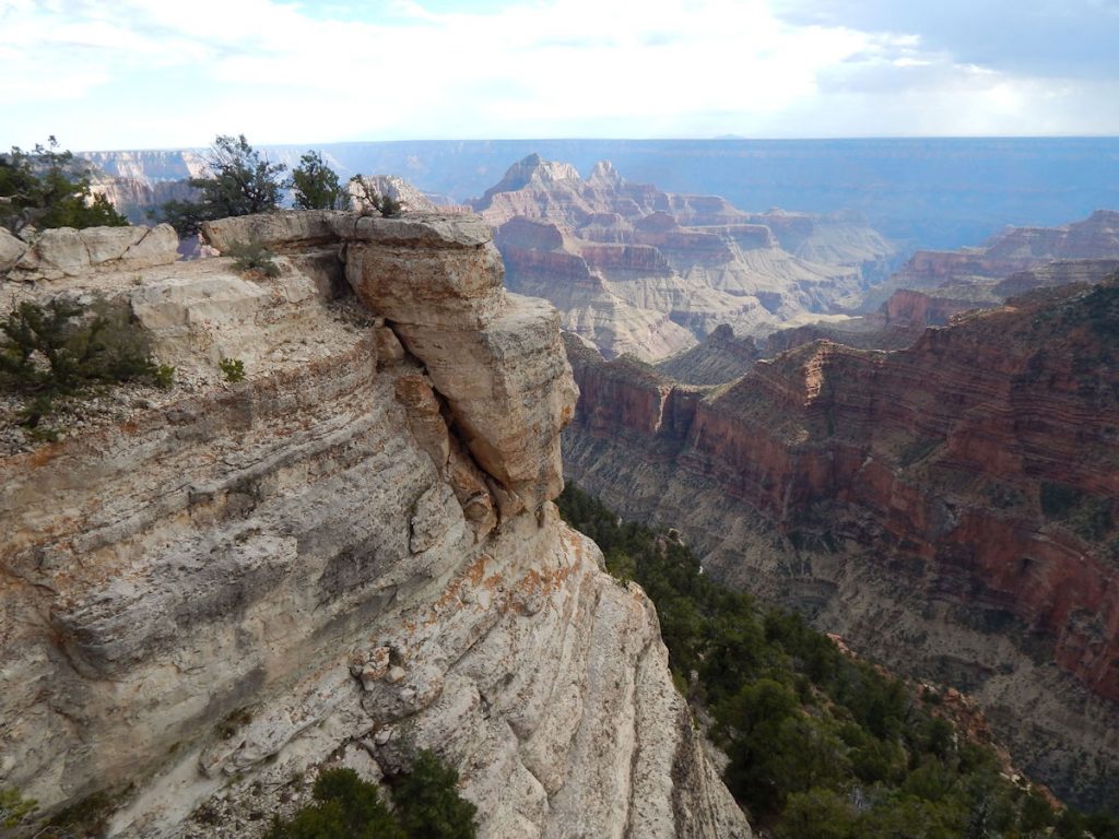
ANGELS’ WINDOW
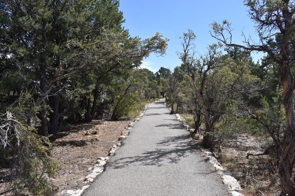
From there, it’s a 10-minute walk down this interesting path.
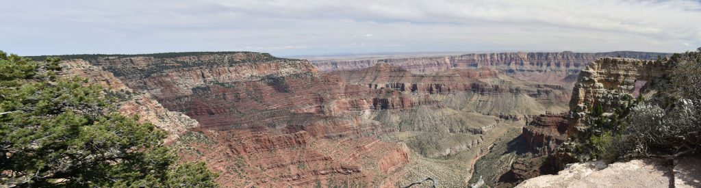
Look closely at the arch on the far right. In certain places, you can look through the opening
and see the Colorado River below.
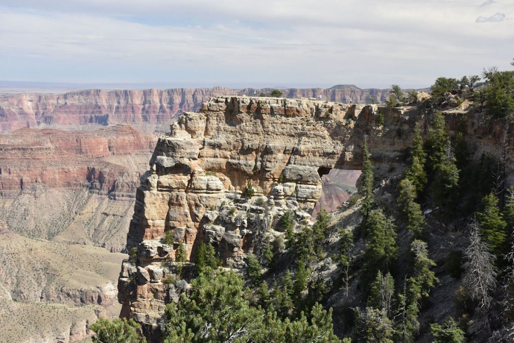
You can also see people on the overlook along the top of the rock.
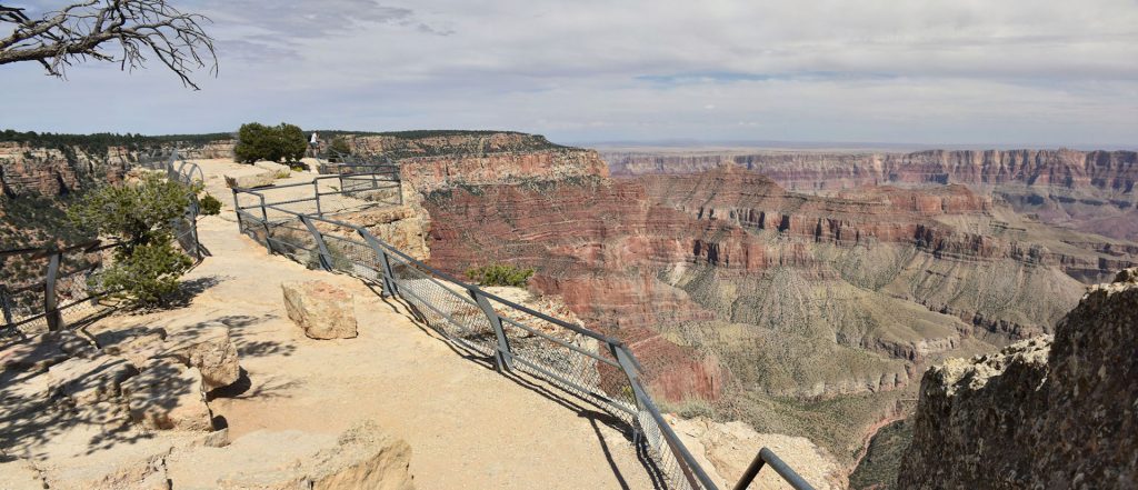
3,000-4,000 foot drop-offs on each side.
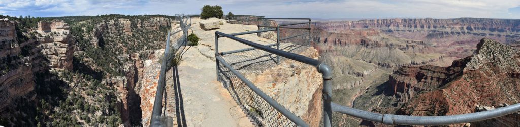
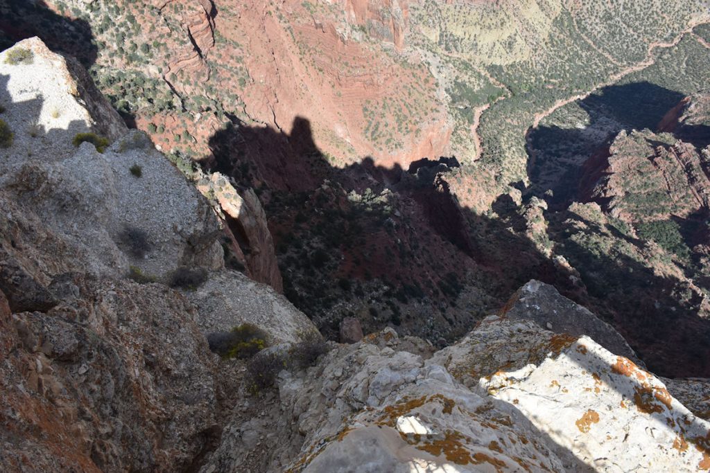
Reminds me of the old Road Runner and Coyote cartoons.
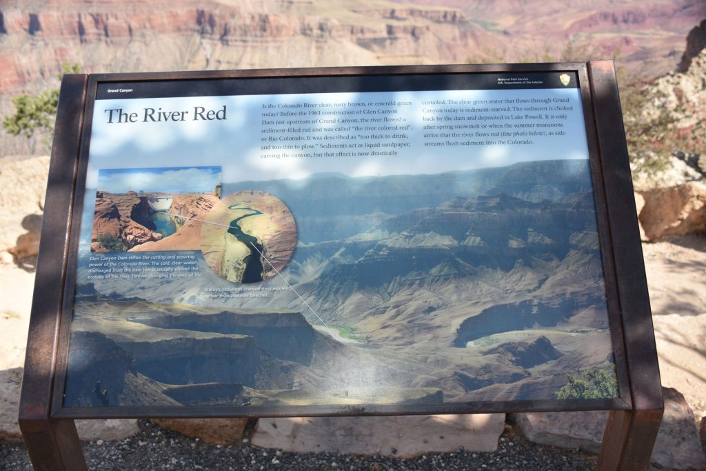
they said it was too thick to drink and too thin to plow.
Now, the Glen Canyon Dam upstream allows the sediment to settle, making the river much more clear.
However, this means the river is eroding the riverbanks and not building them up with deposits.
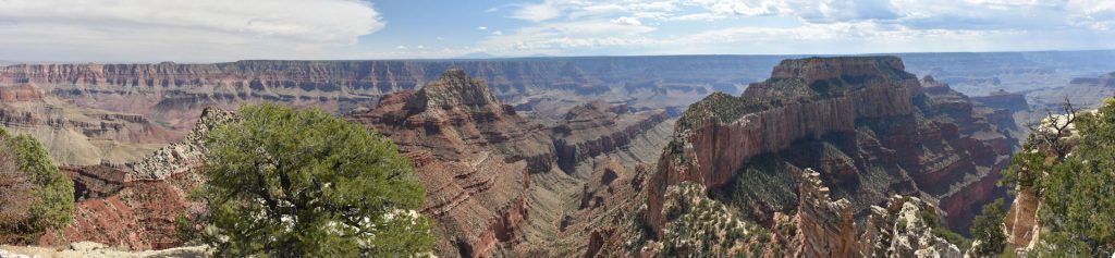
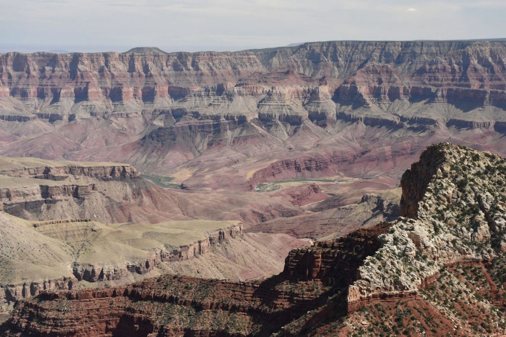
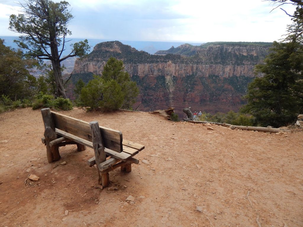
Vishnu Temple is to the left of center, and Wotan’s Throne is to the right.
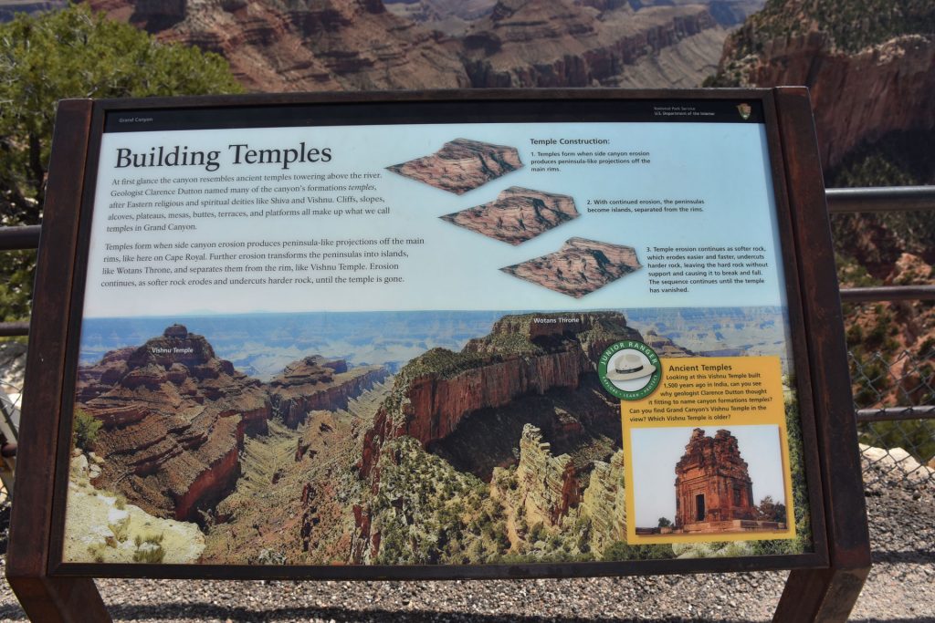
(See next photo for notes)
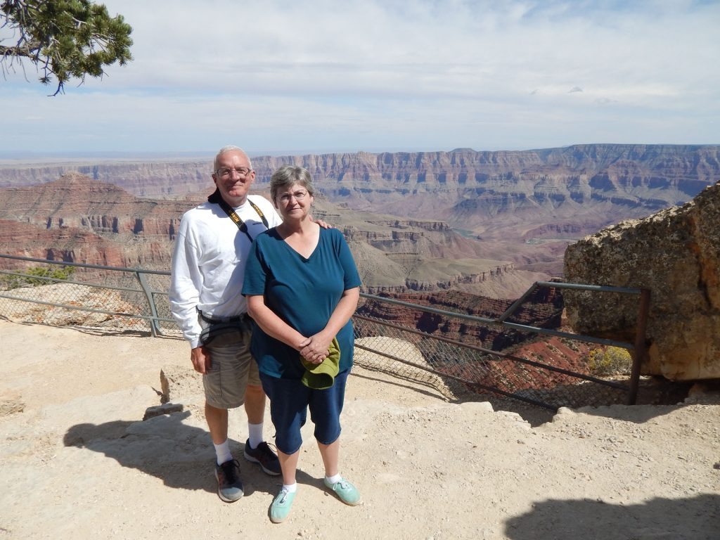
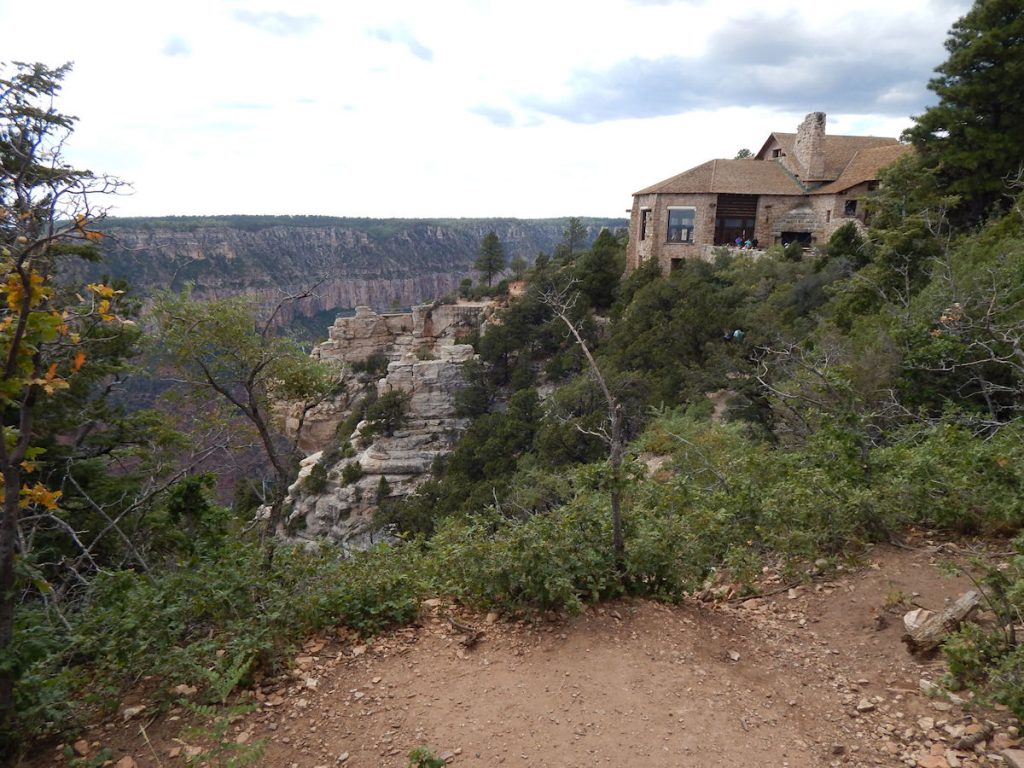
NORTH RIM LODGE AND BRIGHT ANGEL POINT
Our last stop at the Grand Canyon North Rim was the Visitor Center
and the Bright Angel Point overlook.
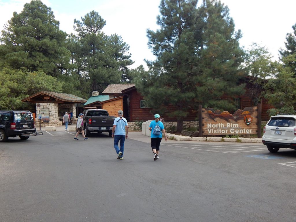
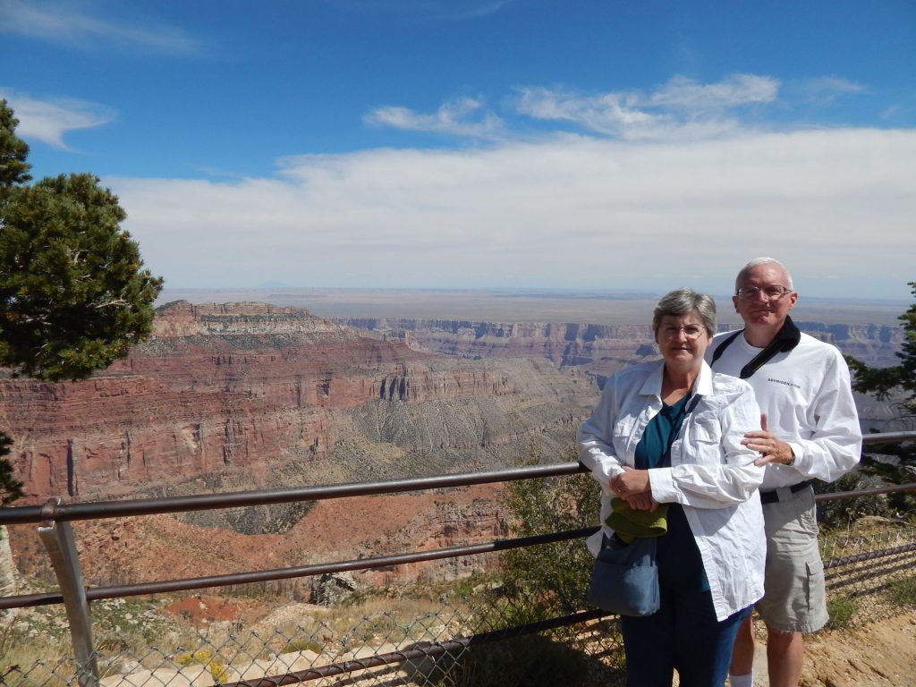
We even found a parking spot right away. And – we got a second stamp on our National Parks Passport book!
In the far distance is the South Rim overlook we visited last week.
BACK TO KANAB
Although we have to backtrack an hour to the hotel, we are now a day ahead of schedule.
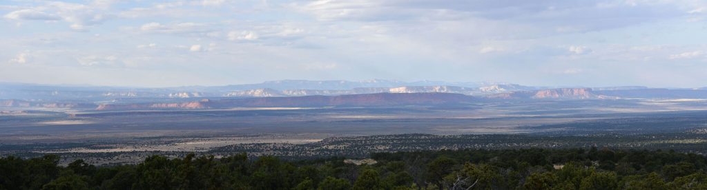
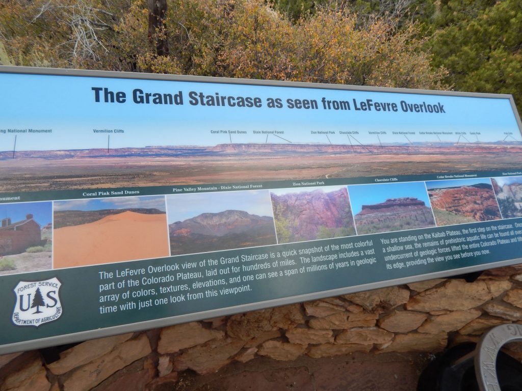
Grand Staircase red cliffs at the LeFevre Overlook.
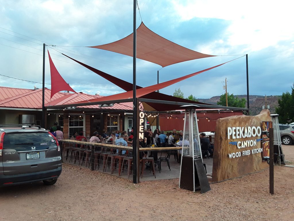
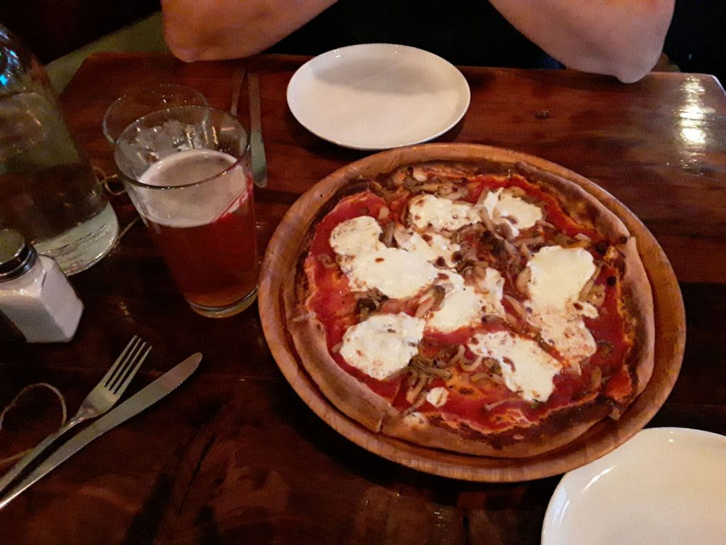
Peekaboo Canyon Wood Fired Kitchen for a pizza as recommended by Katlin. (Thanks!)
Soon, we were back in the room getting ready for tomorrow’s drive to Kayenta, Arizona –
passing through the Vermillion Cliffs and Marble Canyon areas.
Hope you enjoyed riding with us today. See you tomorrow!
Mileage Today: 247 Miles
Trip Total: 3,634 Miles