
Southwest USA Retirement Trip
September 2019
29 Days – 6,500 Miles – 19 States
7 National Parks – Several State Parks
6,000+ Photos
1 Trillion Insects Squished by Car Windshield
From 108 Degrees to Snow
From 282 Feet Below Sea Level to 12,000+ Feet
Bison, Elk, Prairie Dogs, Lizards, Wild Horses
Elvis, Aliens, John Wayne Westerns
Walking In The Footsteps of Forrest Gump
And More!
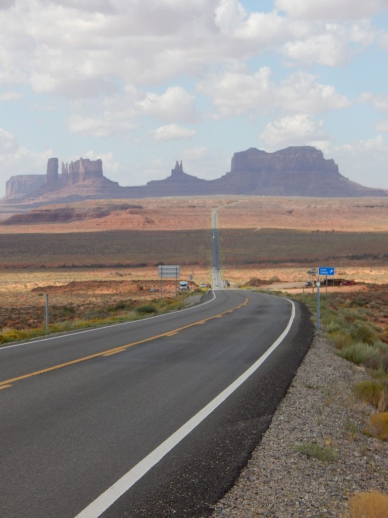
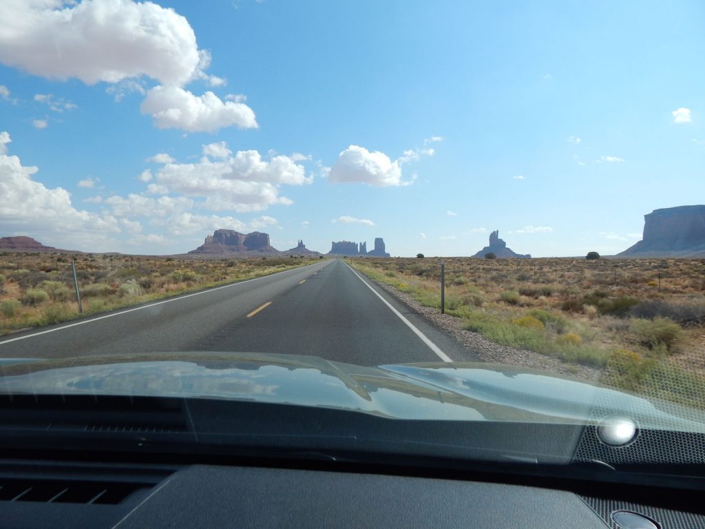
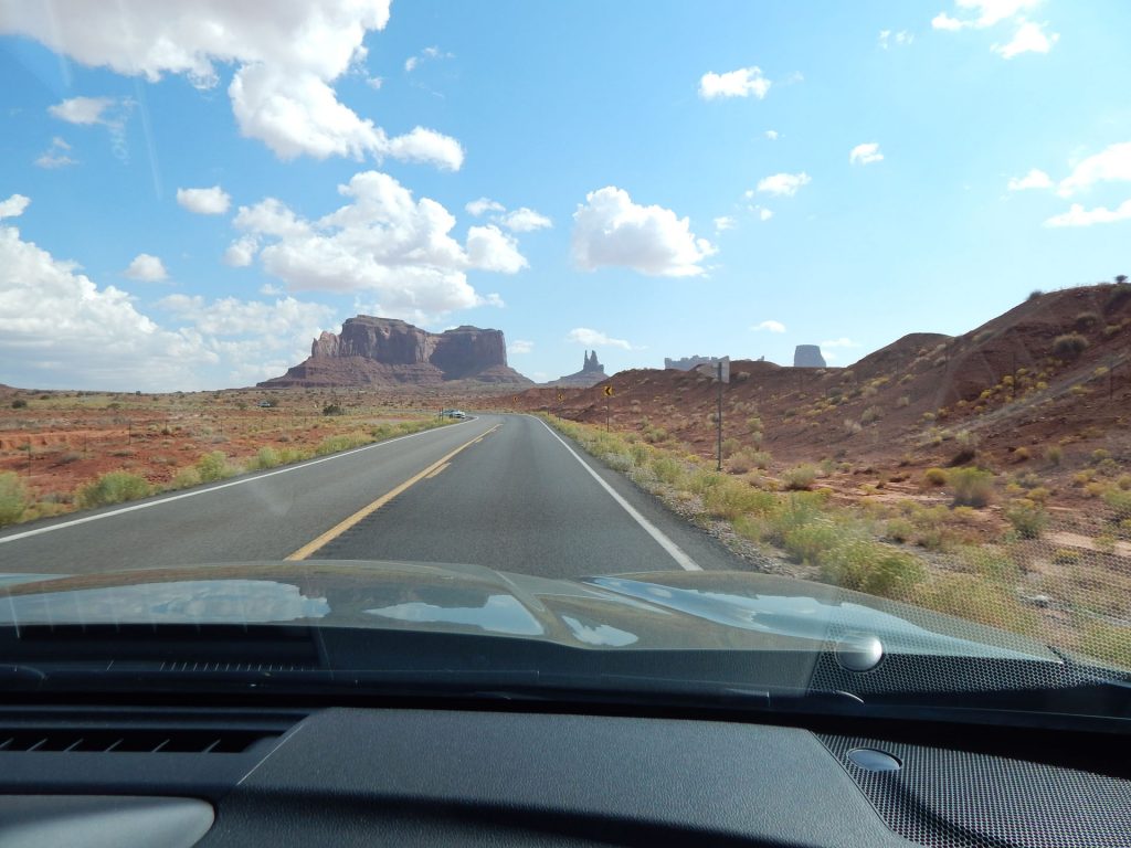
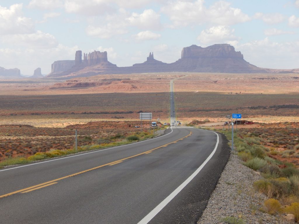
After a great breakfast at Wetherill Inn, we were heading north to visit Monument Valley.
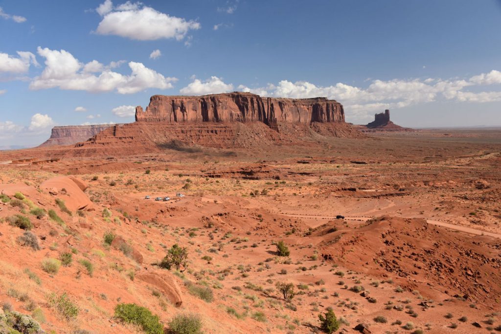
The rock formations to the left and right ahead are featured in the next 2 photos.
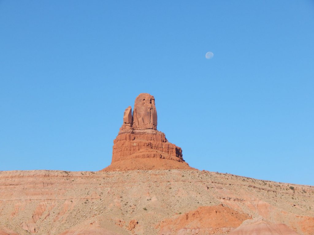
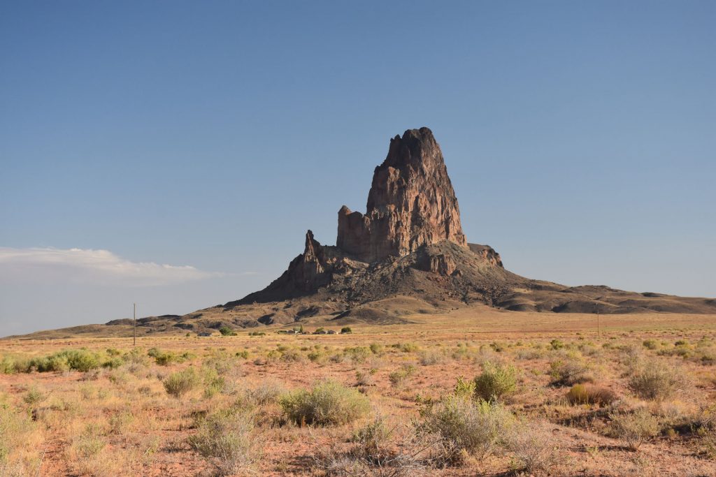
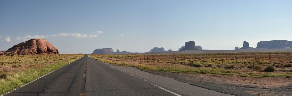
Many of the formations are visible from the highway, but it is well worth the $20 admission to drive up close.
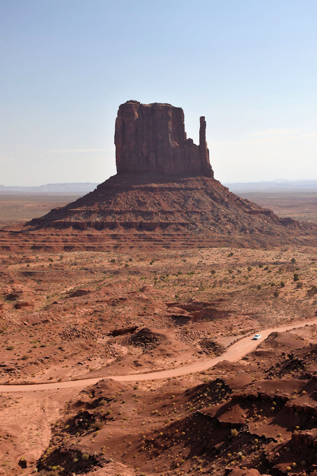
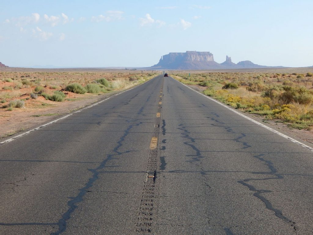
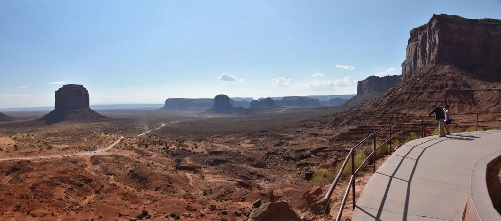
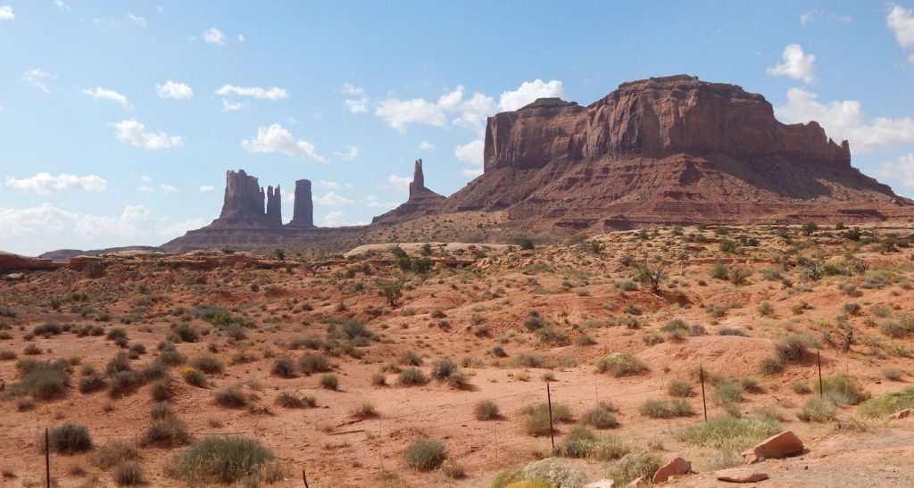
Monument Valley
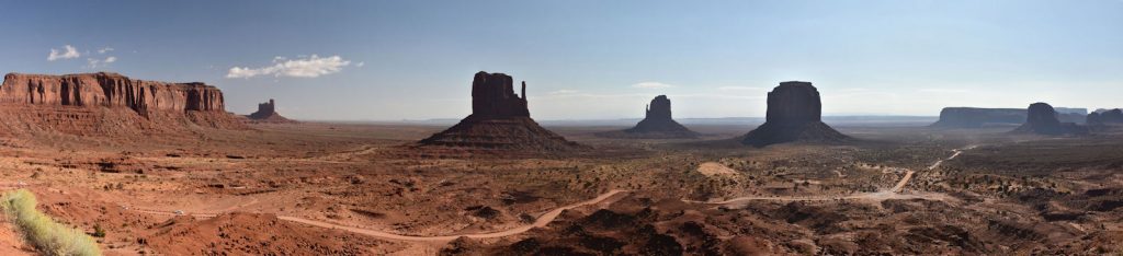
From Left to Right – Sentinel Mesa, West Mitten Butte, East Mitten Butte, Merrick Butte,
Elephant Butte (foreground), Spearhead Mesa (Background).
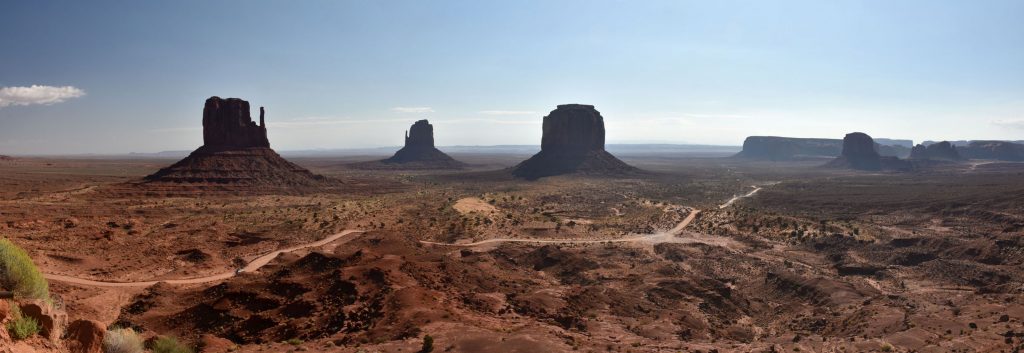
You can see the park road that circles around the different formations.
Since it is Native American land, you must hire a guide or pay for a 3-hour tour to see parts of the loop.
We saw plenty from the Visitor Center, thank you.
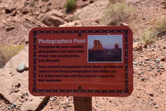
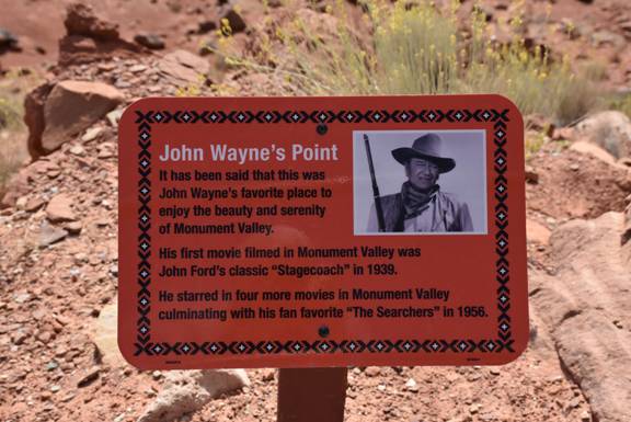
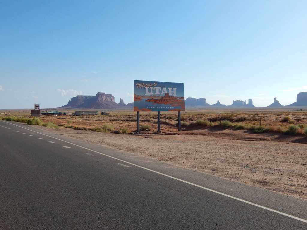
Two signs up along the Visitor Center viewing platform.
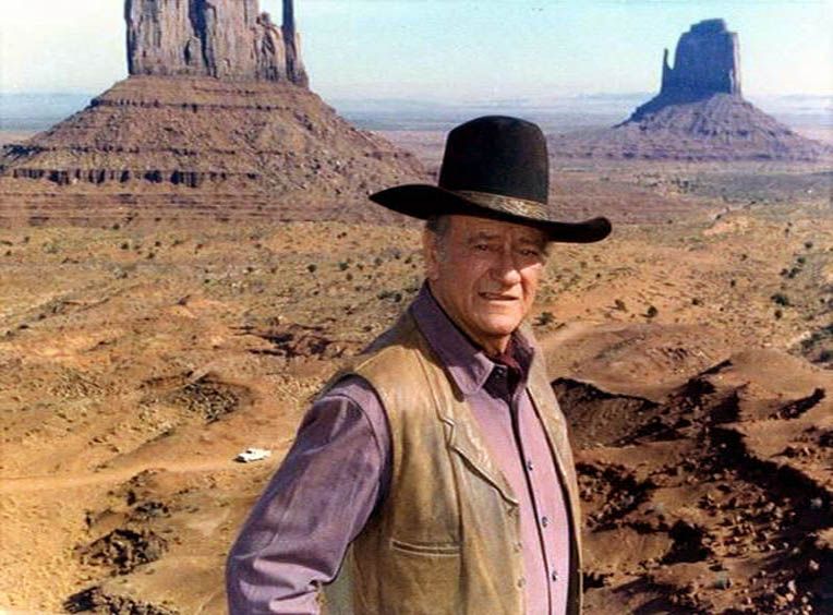
Apparently, this was one of John Wayne’s favorite locations to film Western movies.
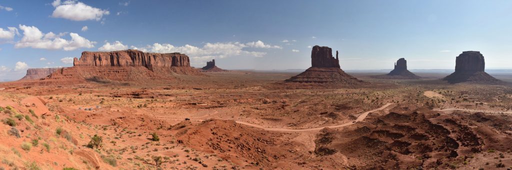
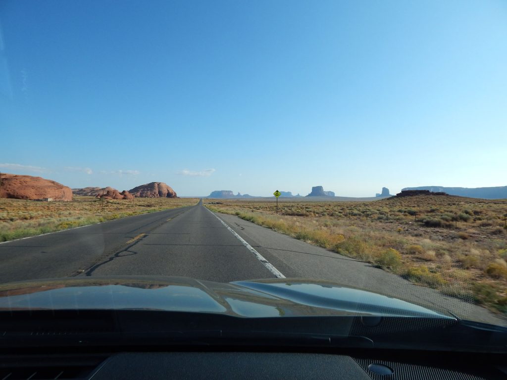
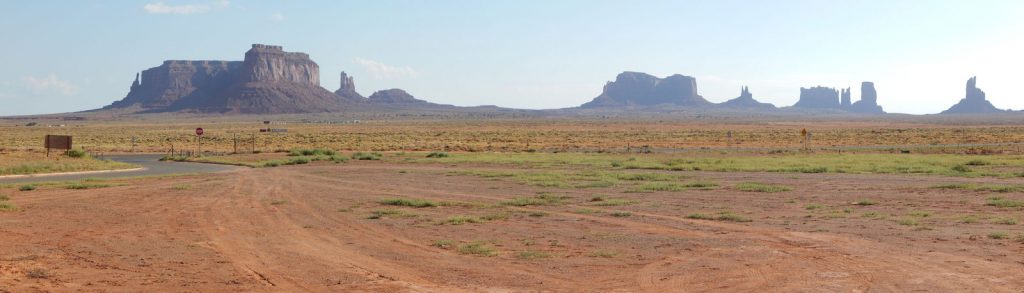
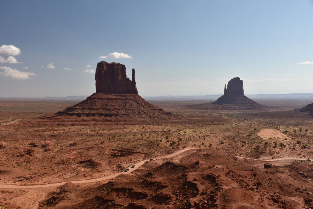
From Left to Right – Sentinel Mesa, (unknown background), West Mitten Butte, East Mitten Butte, Merrick Butte.
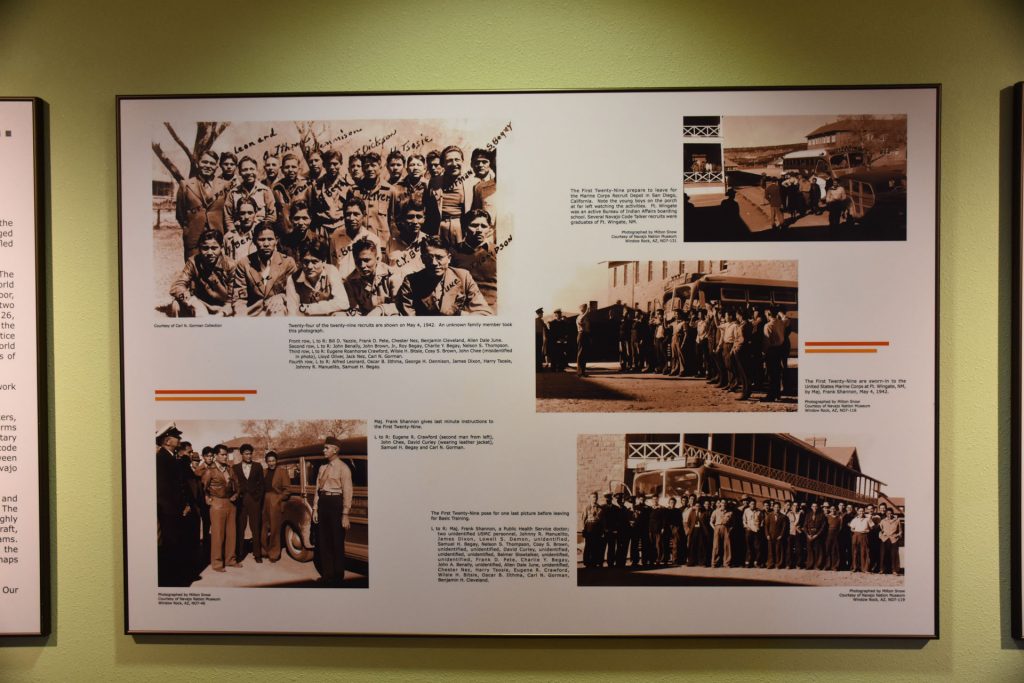
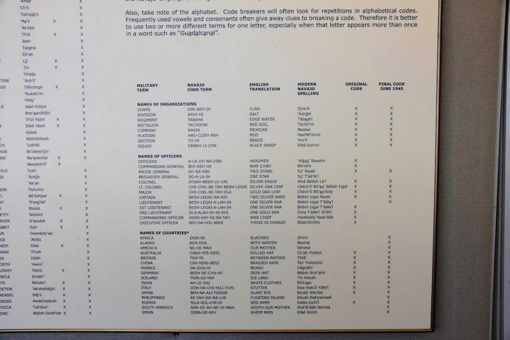
After viewing the valley, we walked into the museum, where we found many interesting exhibits.
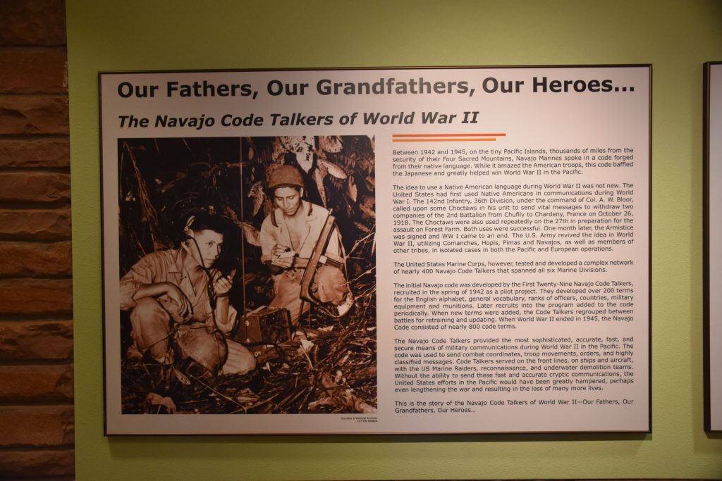
At the outbreak of WWII, it was estimated only 30 non-Navajos could understand the language.
This Navajo code goes down in history as the only wartime code that was never broken by the enemy.
Learn more about the Navajo Code Talkers in WWII: https://en.wikipedia.org/wiki/Code_talker
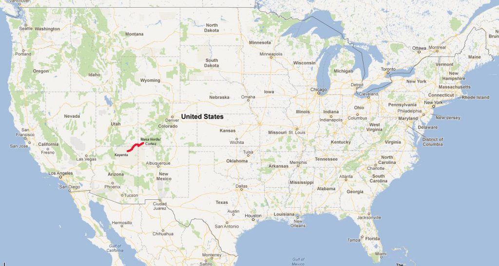
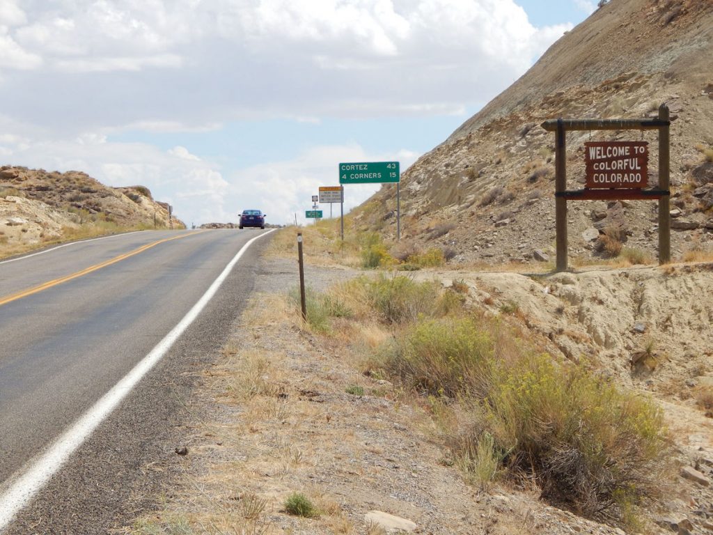
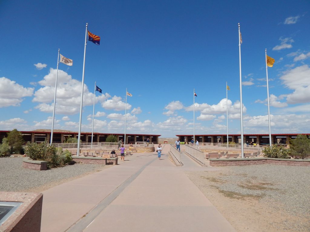
Now it was time to leave and head east toward 4-Corners, the only spot in the USA where 4 states meet.
Arizona – Utah – New Mexico – Colorado
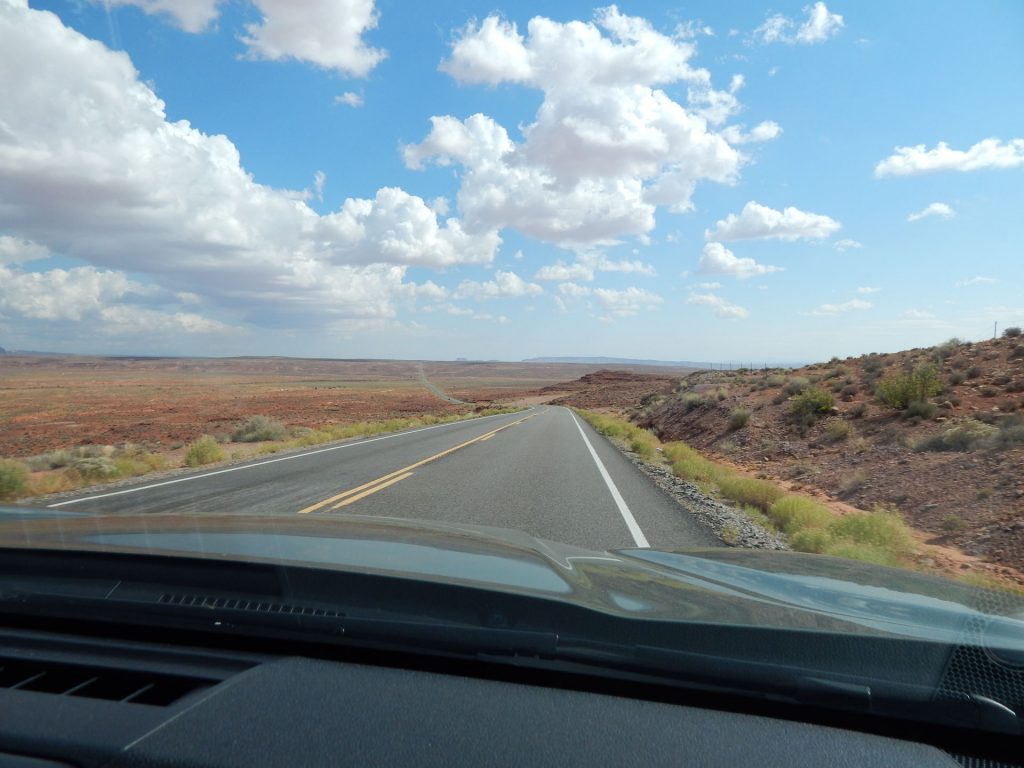
Why is this significant? You will find out in a minute when we get to the far end and turn around to look back this way.
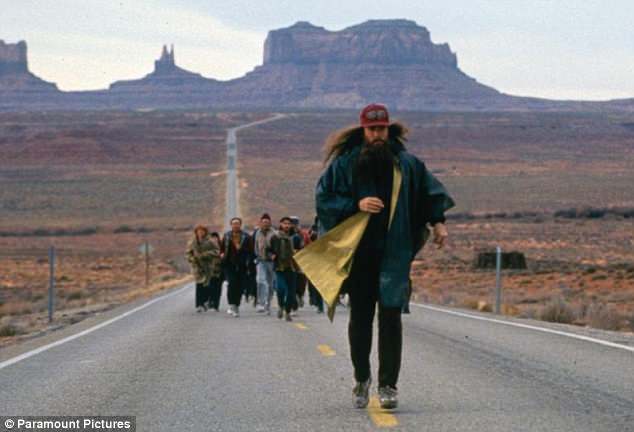
and said he was tired of running and was going home.
Watch the video of this scene: https://www.youtube.com/watch?v=pKKmzmeU5-0
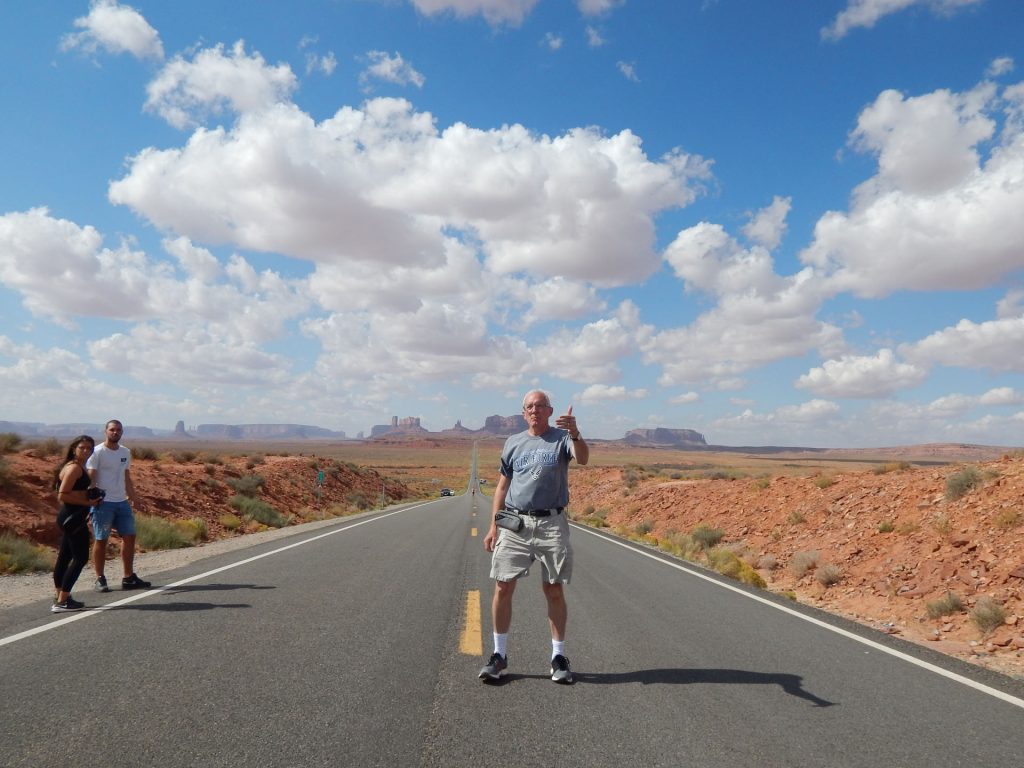
That is, after I grow out my hair and beard a bit like Forrest.
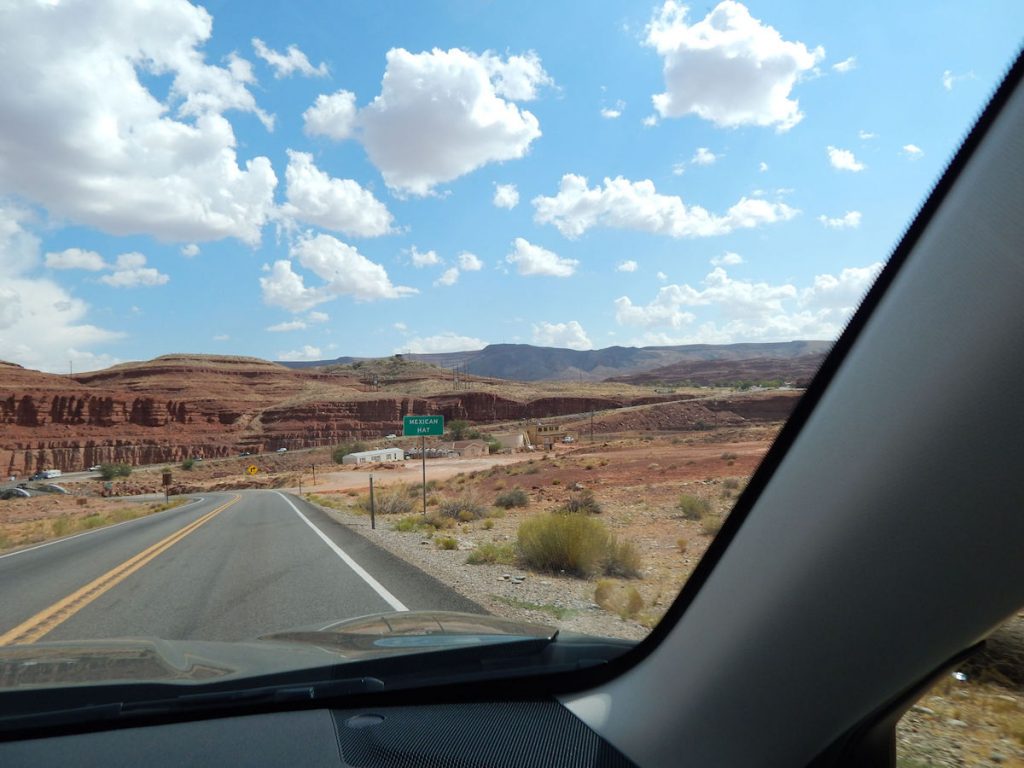
How do you suppose it got its name?
(See next photo)
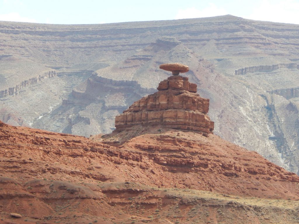
I guess it looked like a Mexican Hat to the early settlers.
Wish I had time to hike up there!
Time for a quick detour.
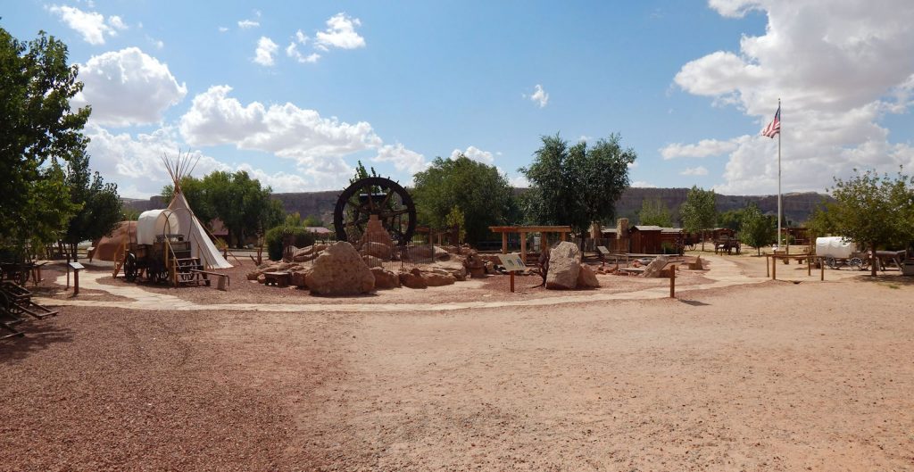
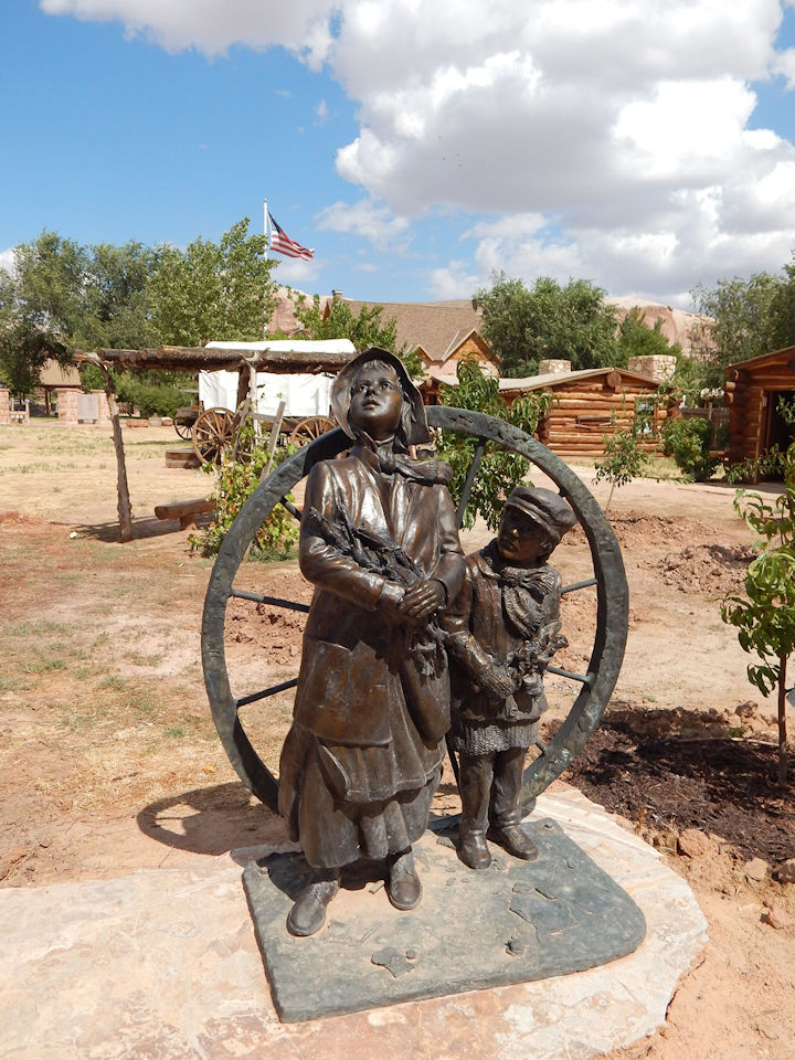
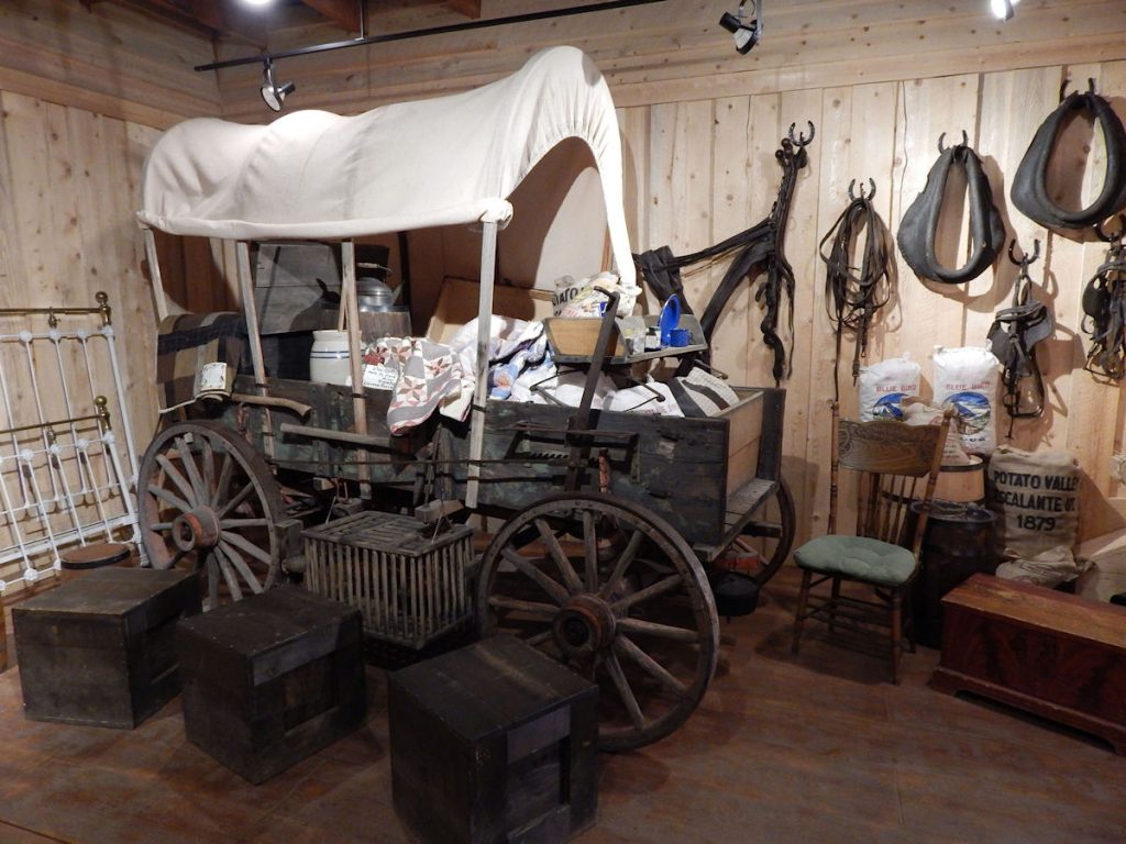
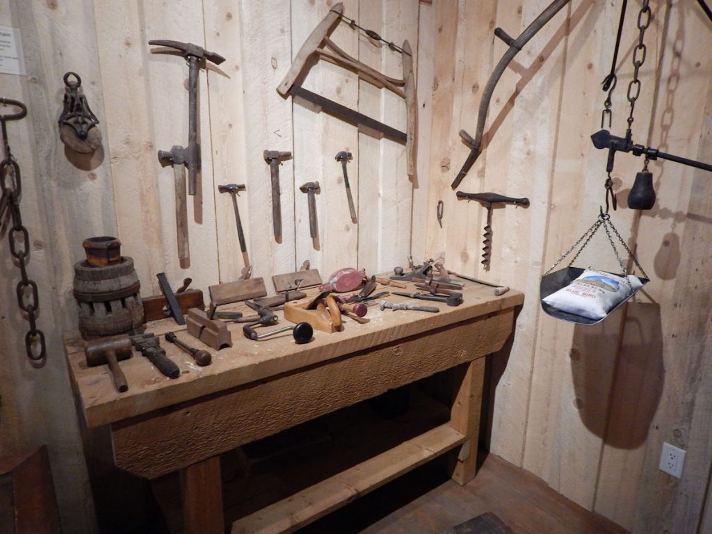
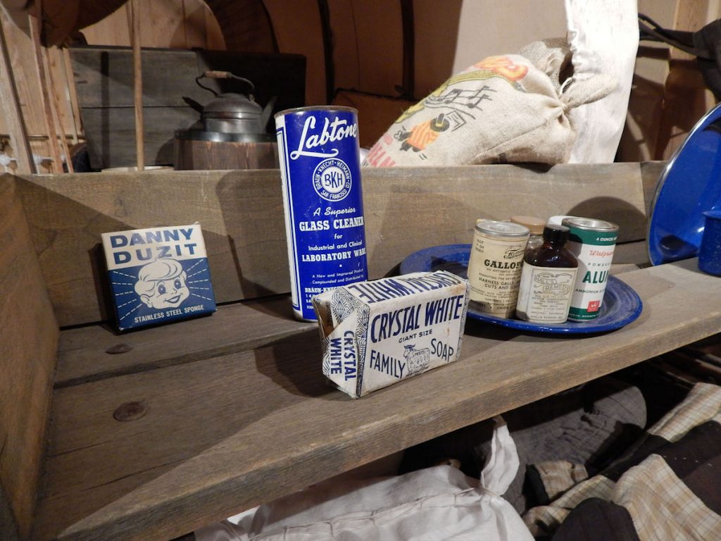
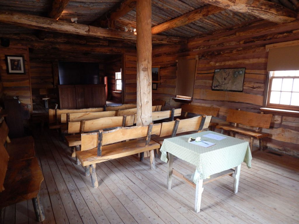
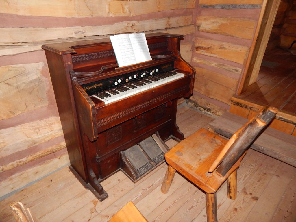
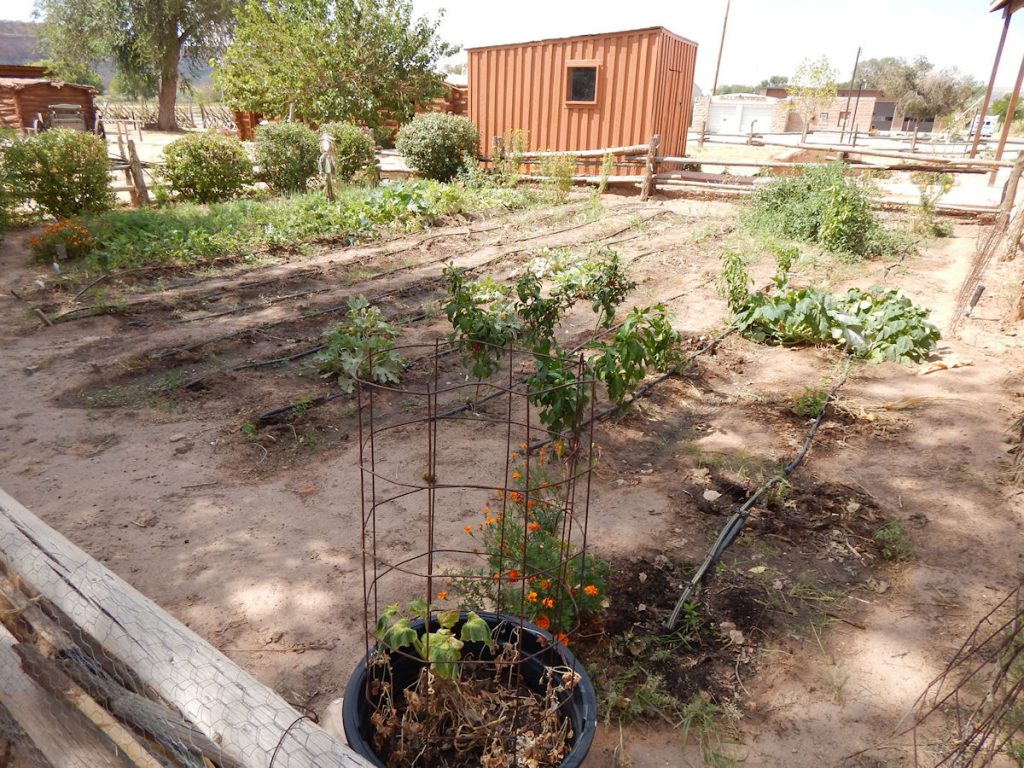
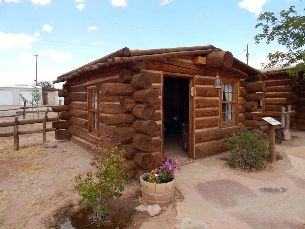
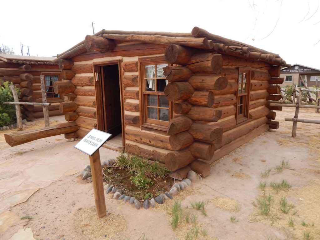
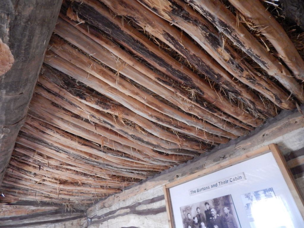
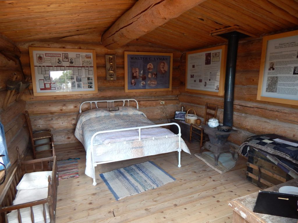
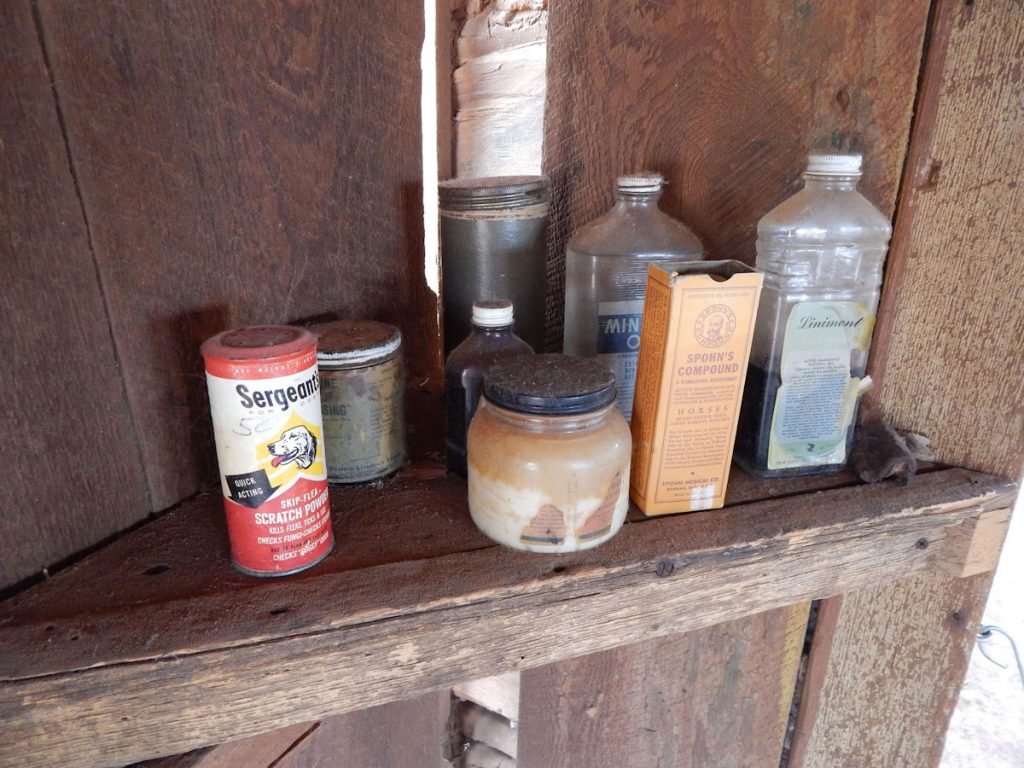
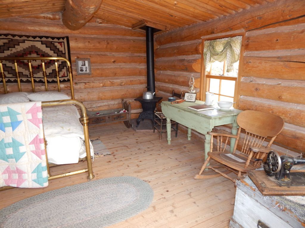
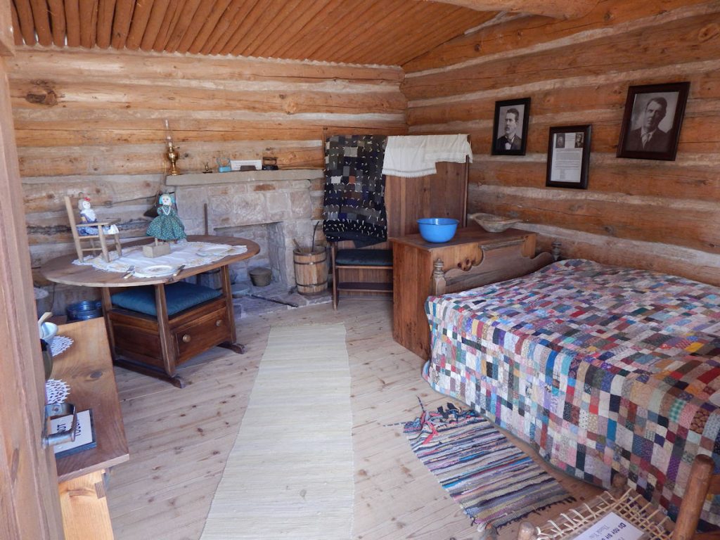
BLUFF FORT, UTAH
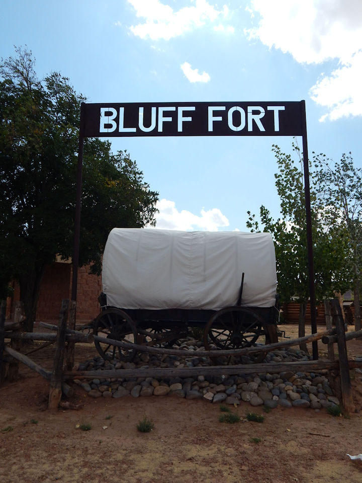
Bluff Fort was built in 1880 by a group of Mormon settlers. Over 70 families (250 people) answered the call
to establish a mission in this area known to be a refuge for lawlessness. They were to be a buffer
for the pioneers already settled here, as well as establishing law and order and
maintaining friendly relations with the Native Americans in the area.
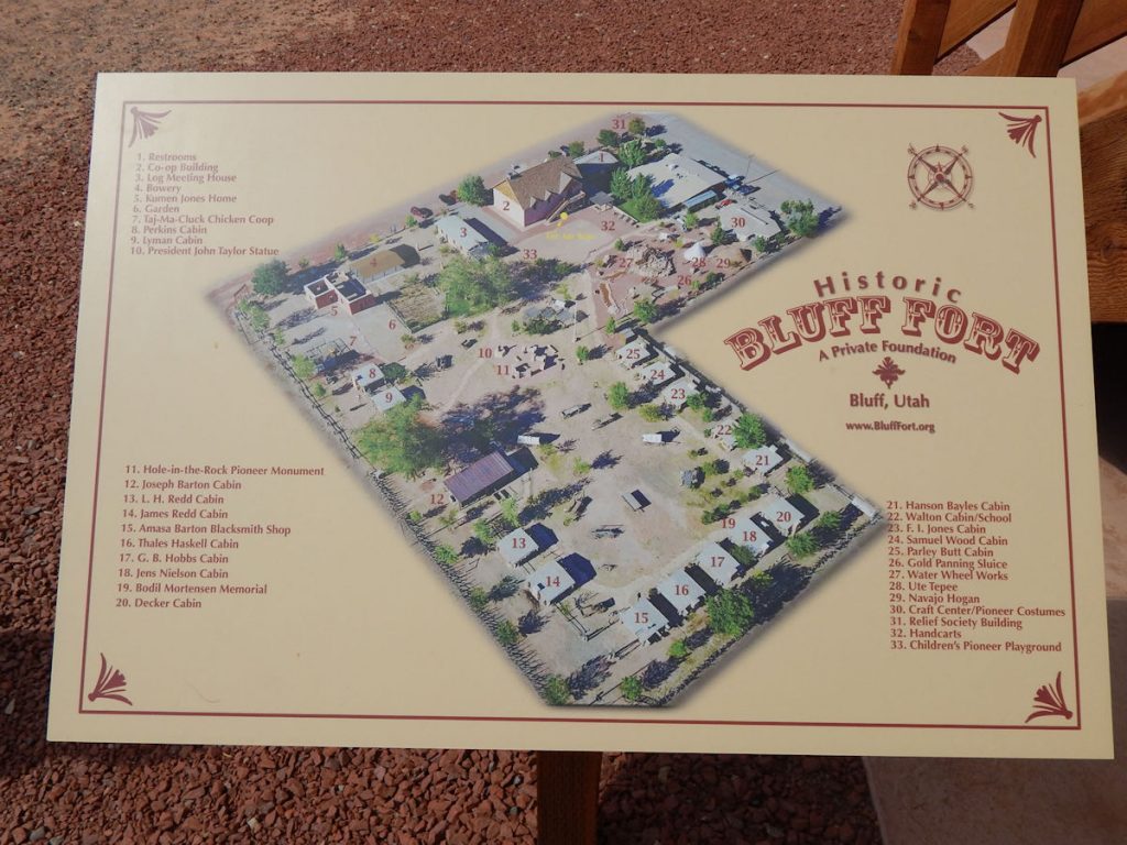
Read more about Bluff Fort: https://bluffutah.org/bluff-fort/ and http://blufffort.org/
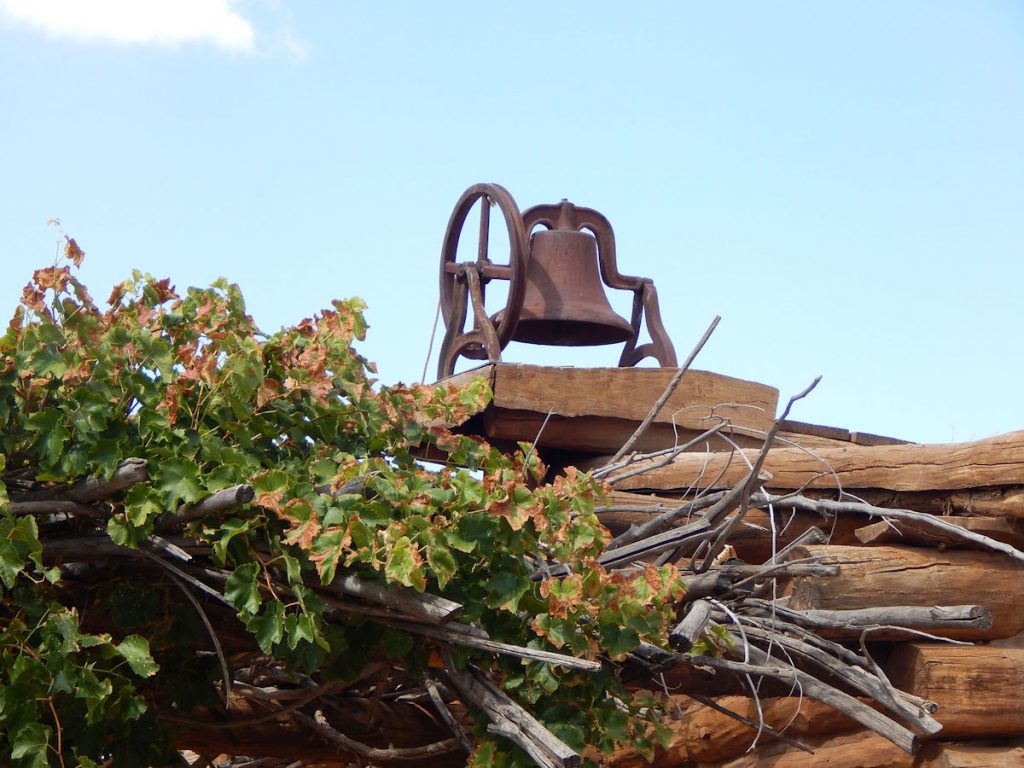
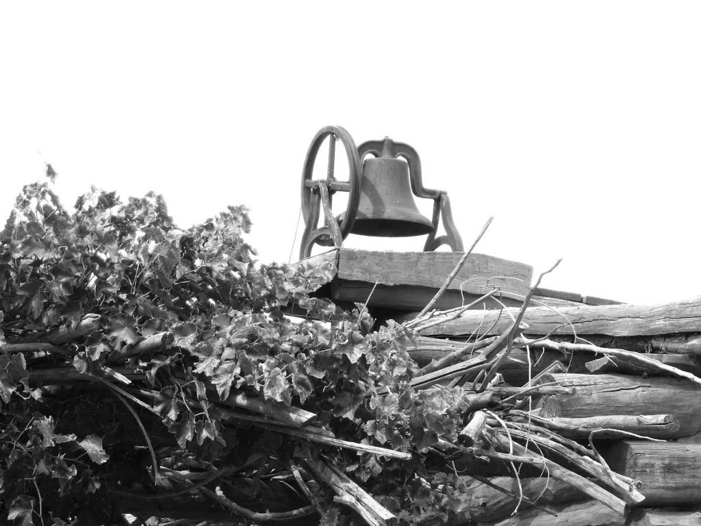
Bell on the church building. Another photo that I like better in Black and White.
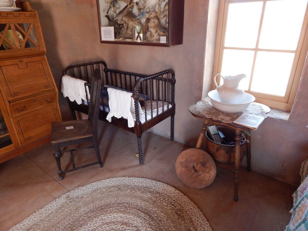
It’s a miracle this stuff doesn’t just “walk away”.
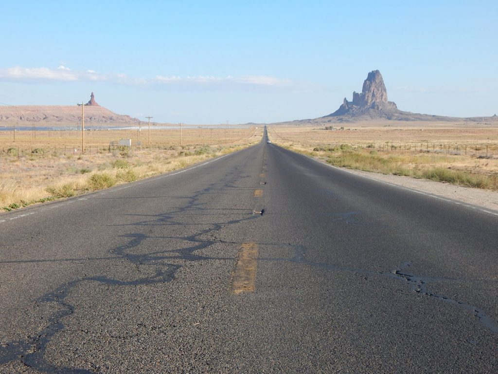
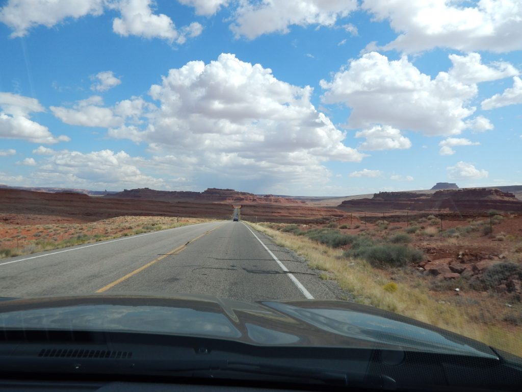
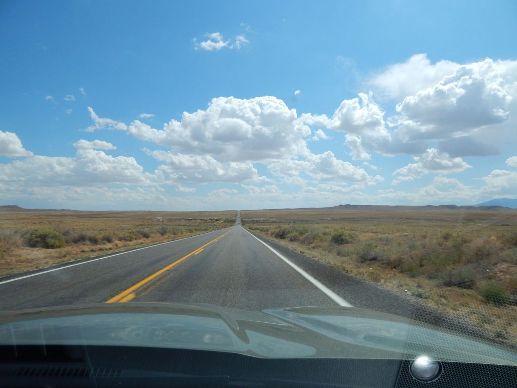
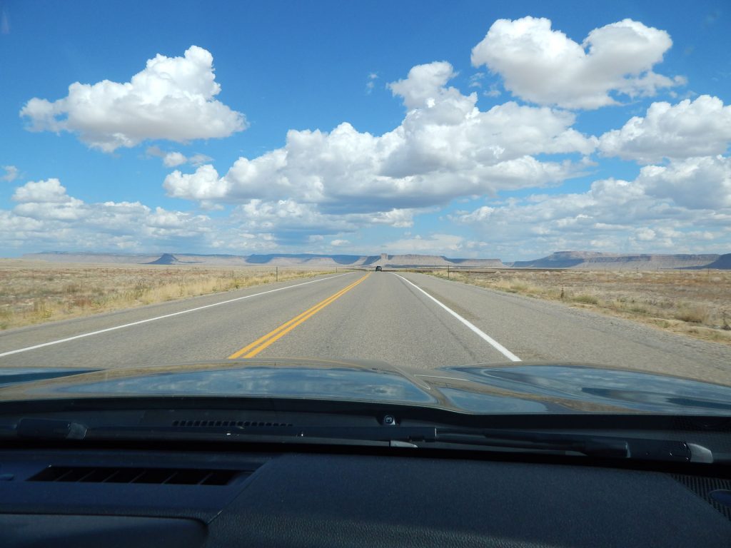
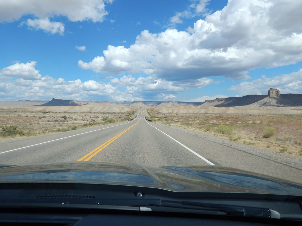
Back on the road!
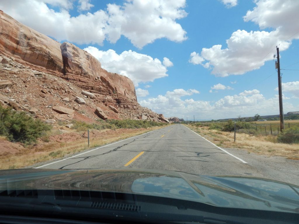
This is just east of Bluff, Utah.
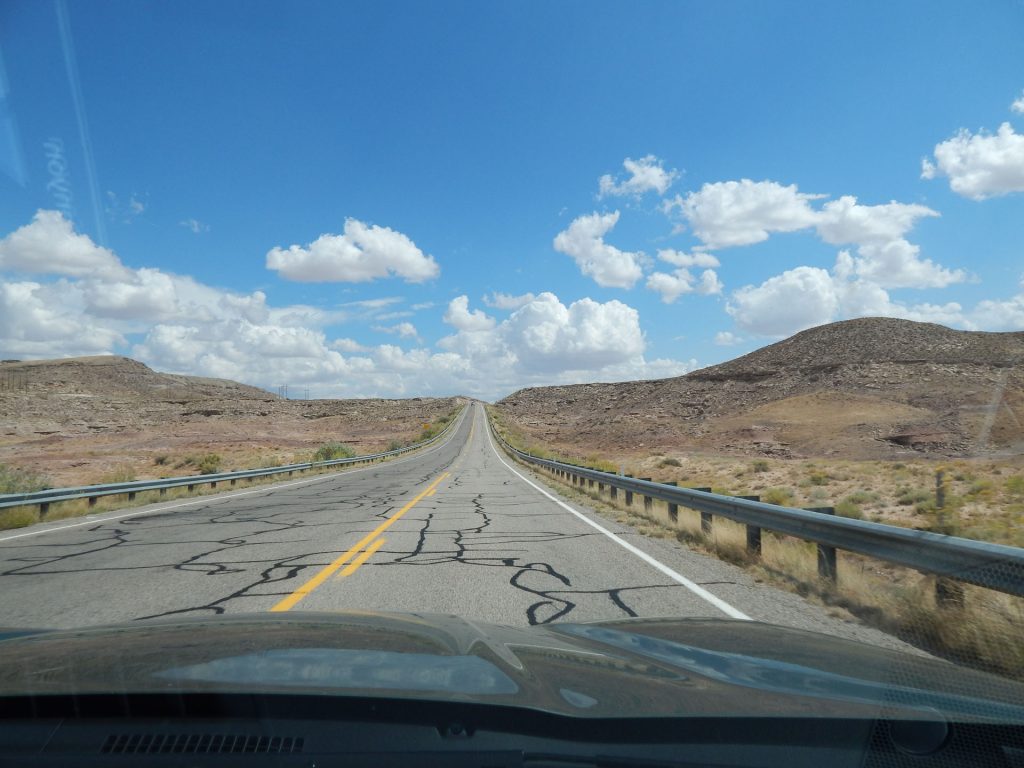
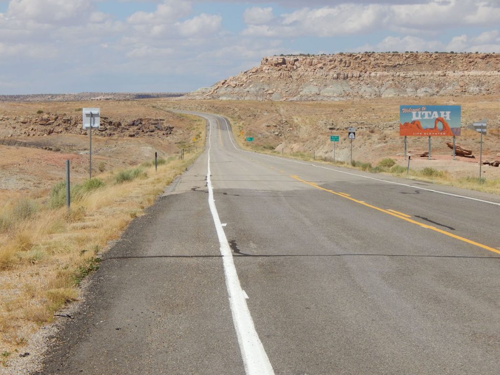
Our current elevation: 4,760 Feet.
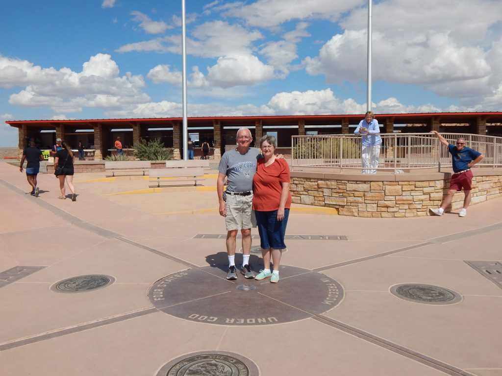
At this point, I guess I’m standing in New Mexico. Just to my left and across the gray line is Arizona.
Up ahead, past the center of the circle, Utah lies to the left of the line and Colorado to the right.
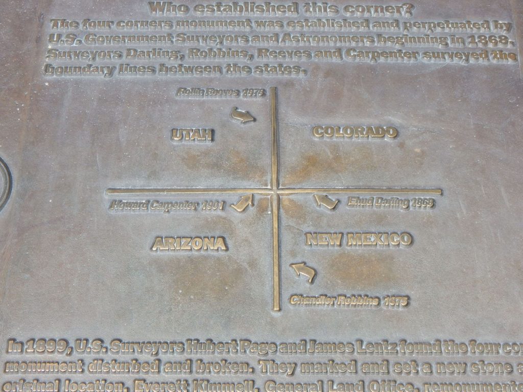
It also shows who surveyed the lines, which is talked about in more depth shortly.
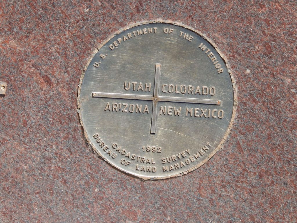
Each state had a granite marker shown below.
Interesting stories about how the border lines were established (and re-established) and the conflicts that ensued,
including acts of Congress and Presidential vetoes.
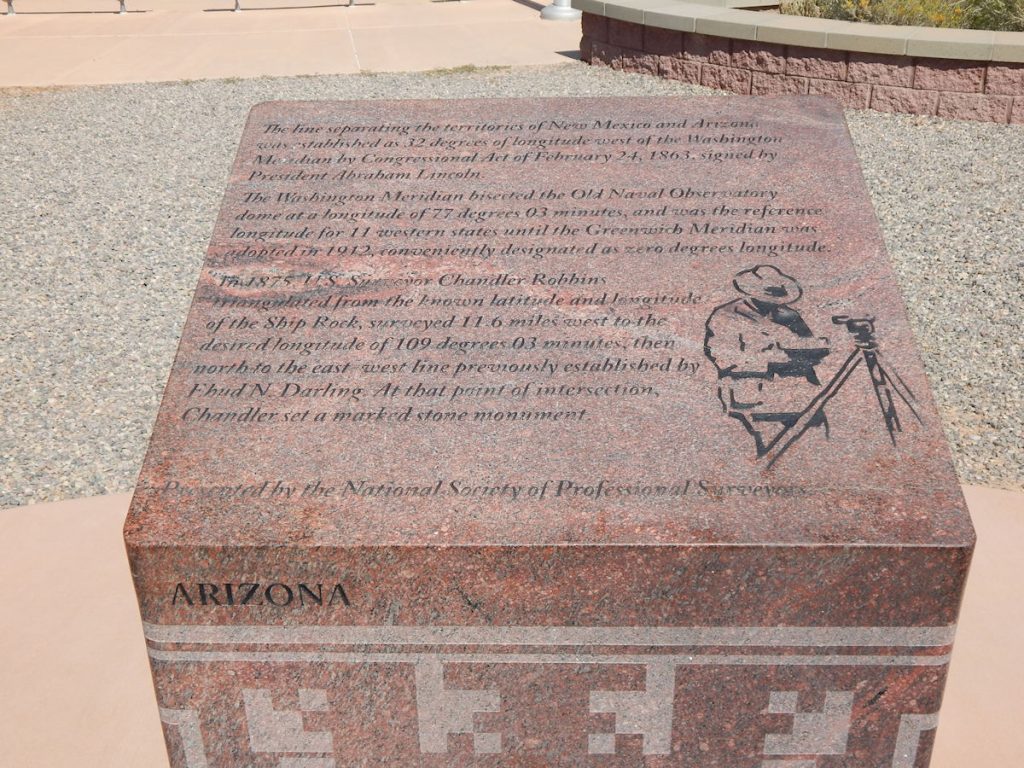
The line separating the territories of New Mexico and Arizona was established as 32 degrees of longitude west of the Washington Meridian by Congressional Act February 24th, 1863, signed by President Abraham Lincoln.
The Washington Meridian bisected the Old Naval Observatory dome at a longitude of 77 degrees 03 minutes, and was the reference longitude for 11 western states until the Greenwich Meridian was adopted in 1912, conveniently designated as zero degrees longitude.
In 1875, US Surveyor Chandler Robbins triangulated from the known latitude and longitude of the Ship Rock, surveyed 11.6 miles west to the desired longitude of 109 degrees 03 minutes, then north to the east-west line previously established by Ehud N. Darling. At that point of intersection, Chandler set a marked stone monument.
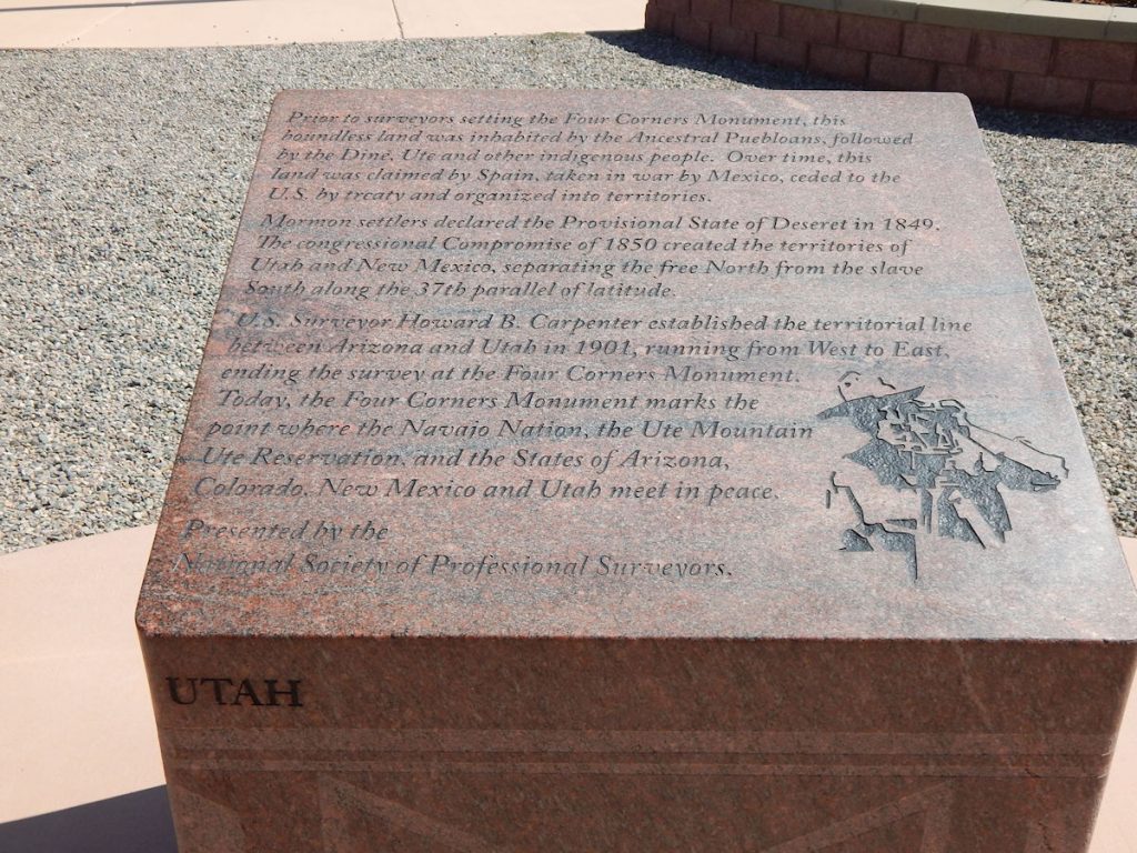
Prior to surveyors setting the Four Corners Monument, this boundless land was inhabited by the Ancestral Puebloans, followed by the Diné, Ute, and other indigenous people. Over time, this land was claimed by Spain, taken in war by Mexico, ceded to the U.S. by treaty and organized into territories.
Mormon settlers declared the Provisional State of Deseret in 1849. The Congressional Compromise of 1850 created the territories of Utah and New Mexico, separating the free North from the slave South along the 37th parallel of latitude.
U.S. Surveyor Howard B. Carpenter established the territorial line between Arizona and Utah in 1901, running from West to East, ending the survey at the Four Corners Monument. Today, the Four Corners Monument marks the point where the Navajo Nation, the Ute Mountain Ute Reservation, and the States of Arizona, Colorado, New Mexico and Utah meet in peace.
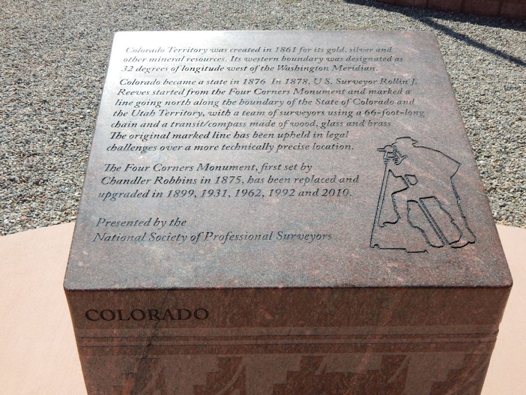
Colorado Territory was created in 1861 for its gold, silver and other mineral resources. Its western boundary was designated as 32 degrees of longitude west of the Washington Meridian.
Colorado became a state in 1876. In 1878, U.S. Surveyor Rollin J. Reeves started from the Four Corners Monument and marked a line going north along the boundary of the State of Colorado and the Utah Territory, with a team of surveyors using a 66-foot-long chain and a transit/compass made of wood, glass and brass. The original marked line has been upheld in legal challenges over a more technically precise location.
The Four Corners Monument, first set by Chandler Robbins in 1875, has been replaced and upgraded in 1899, 1931, 1962, 1992 and 2010.
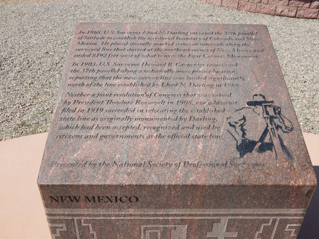
In 1868, U.S. Surveyor Ehud N. Darling surveyed the 37th parallel of latitude to establish the territorial boundary of Colorado and New Mexico. He placed specially marked stones at intervals along the surveyed line that started at the northeast corner of New Mexico and ended 8,192 feet west of what is now the Four Corners Monument.
In 1903, U.S. Surveyor Howard B. Carpenter resurveyed the 37th parallel along a technically more precise location, reporting that the new survey line was located significantly north of the line established by Ehud N. Darling in 1868.
Neither a joint resolution of Congress that was vetoed by President Theodore Roosevelt in 1908, nor a lawsuit filed in 1919 succeeded in relocating the established state line as originally monumented by Darling, which had been accepted, recognized and used by citizens and government as the official state line.
********
OK – SPOILER ALERT
(Don’t read the following if you are sentimental about this marker)
From the National Geodetic Survey Website
https://www.ngs.noaa.gov/INFO/fourcorners.shtml
Nonetheless, there remains the question of how close the Four Corners monument is relative to its intended location. In fact, there is a discrepancy between the actual location, which we know to a high degree of accuracy, and our best knowledge of where it was intended to be located. But, instead of a 2.5-mile discrepancy, as reported in the initial news items, this offset is in fact only about 1800 feet, or less. Not only is the offset only about one-tenth of the alleged location error, it is in the opposite direction; the intended monument location is west of the actual monument. There is, however, uncertainty in precisely quantifying the relationship between the intended and actual monument locations due to changes, since 1875, in some technical details of the geodetic reference systems utilized. The actual offset might in fact be considerably less than our estimate.
And……
From a Conde Nast Traveler article by Ken Jennings (of Jeopardy fame)
Unfortunately, 19-century surveying technology wasn’t precise enough to follow the meridians and parallels precisely. The Utah-Colorado state line, for example, wanders a mile and a half away from the legislated border at one point. The Supreme Court ruled in 1926 that the initial survey should remain the official border, even where it was screwed up, but the fact remains that Four Corners is not where Congress tried to put it in 1863. The real spot, we can now see with GPS, is 1,807 feet to the west. But there aren’t any souvenir stands up there, if you’re trying to buy a blanket.
*********
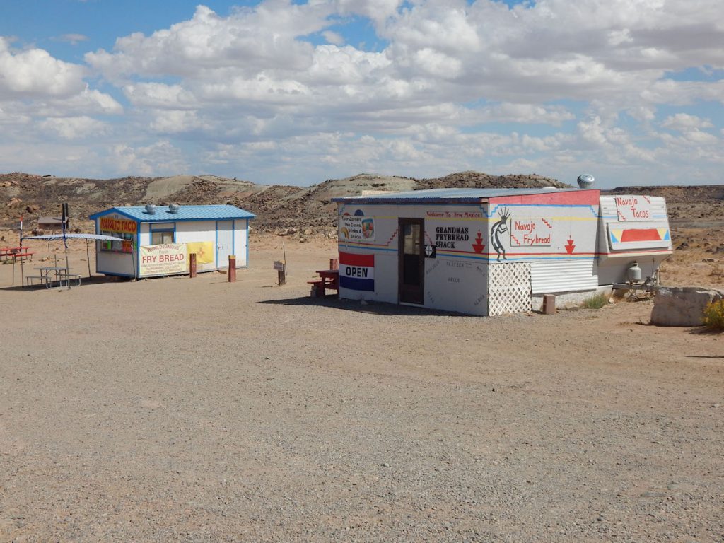
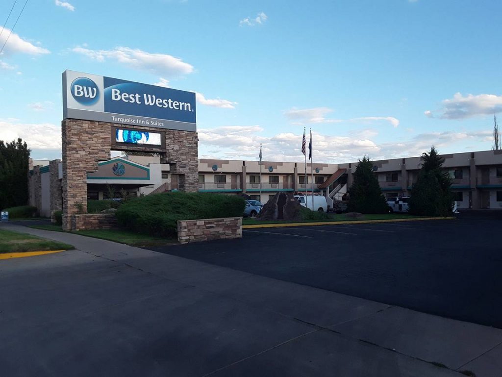
We wisely chose to wait an hour and had a great supper in Cortez.
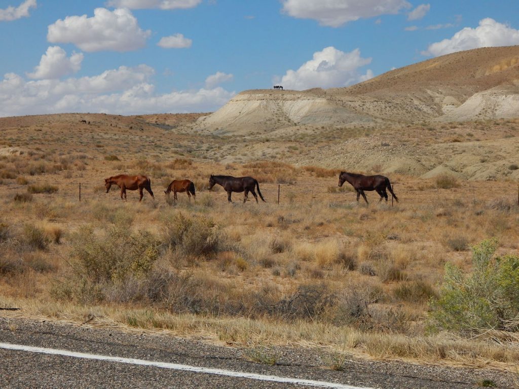
Note the horses up on the bluff.
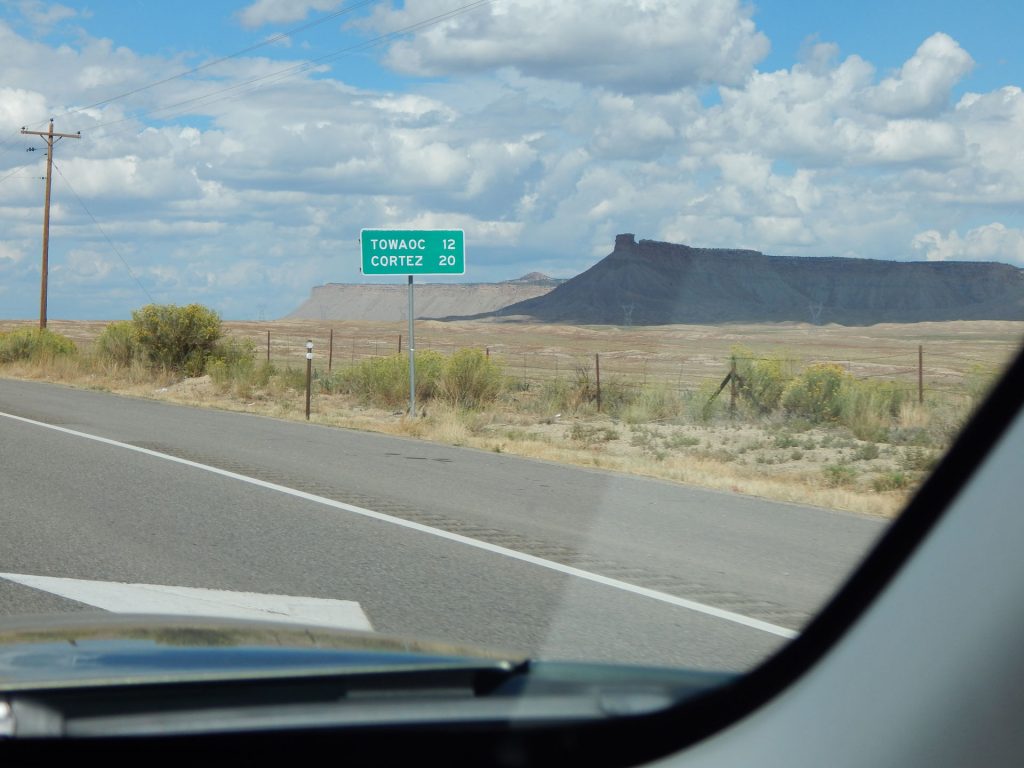
Tomorrow, we will be driving 15 miles east to visit Mesa Verde National Park and see the cliffside dwellings, then returning back here.
Thanks for joining us for today’s adventure. Hope to see you tomorrow.
Mileage Today: 167 Miles
Trip Total: 4,031 Miles
PROCEED TO DAY 18 – EXPLORING MESA VERDE AND THE CLIFF DWELLINGS