Southwest – Day 19

Southwest USA

Retirement Trip

September 2019

29 Days – 6,500 Miles – 19 States

7 National Parks

Several State Parks – 6,000+ Photos

1 Trillion Insects Squished by Car Windshield

 From 108 Degrees to Snow

From 282 Feet Below Sea Level to 12,000+ Feet

Bison, Elk, Prairie Dogs, Lizards, Wild Horses

Elvis, Aliens, John Wayne Westerns

Walking In The Footsteps of Forrest Gump

And More! 


Mesa Verde NP/ Cortez CO to Grand Junction CO via Arches National Park UT
 
 
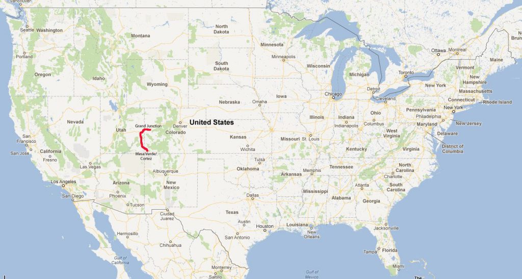
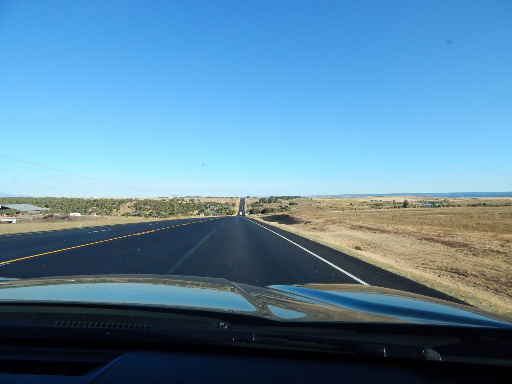
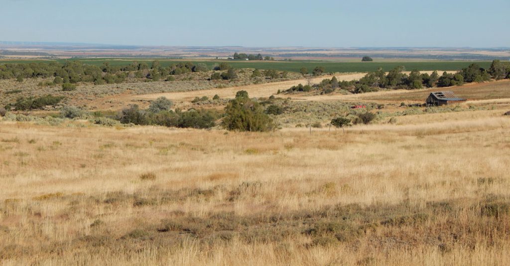
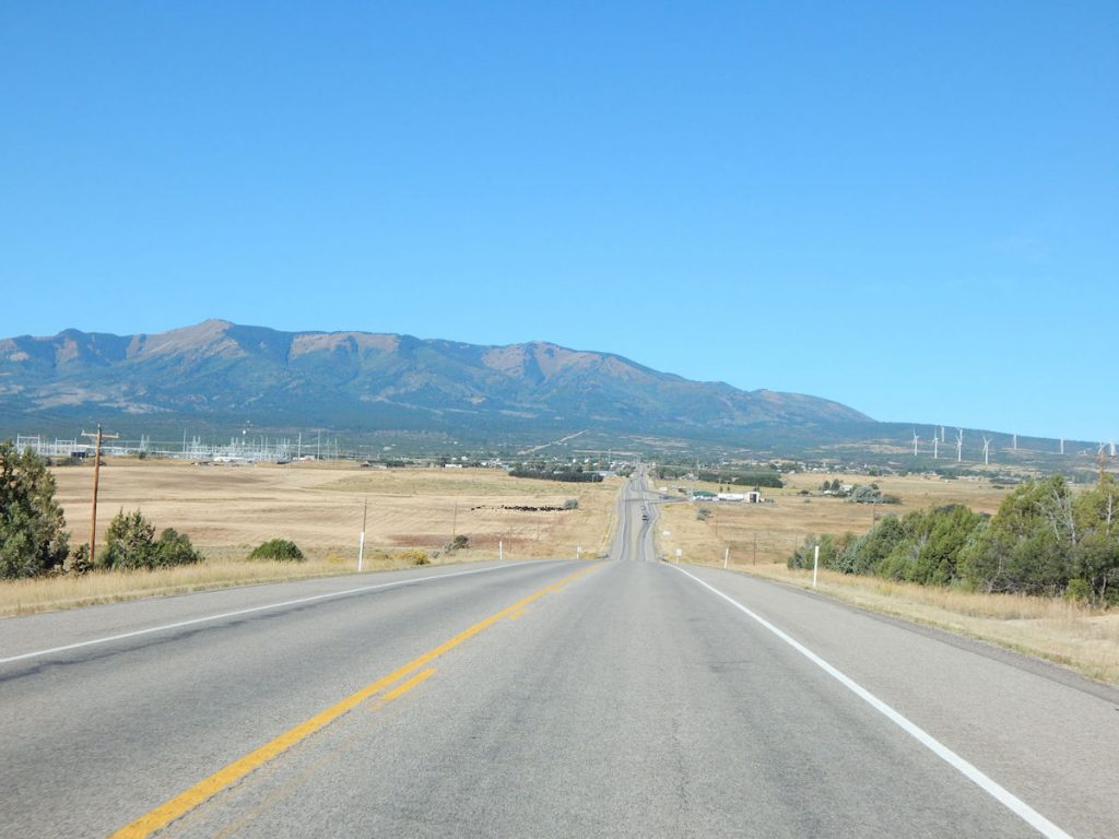
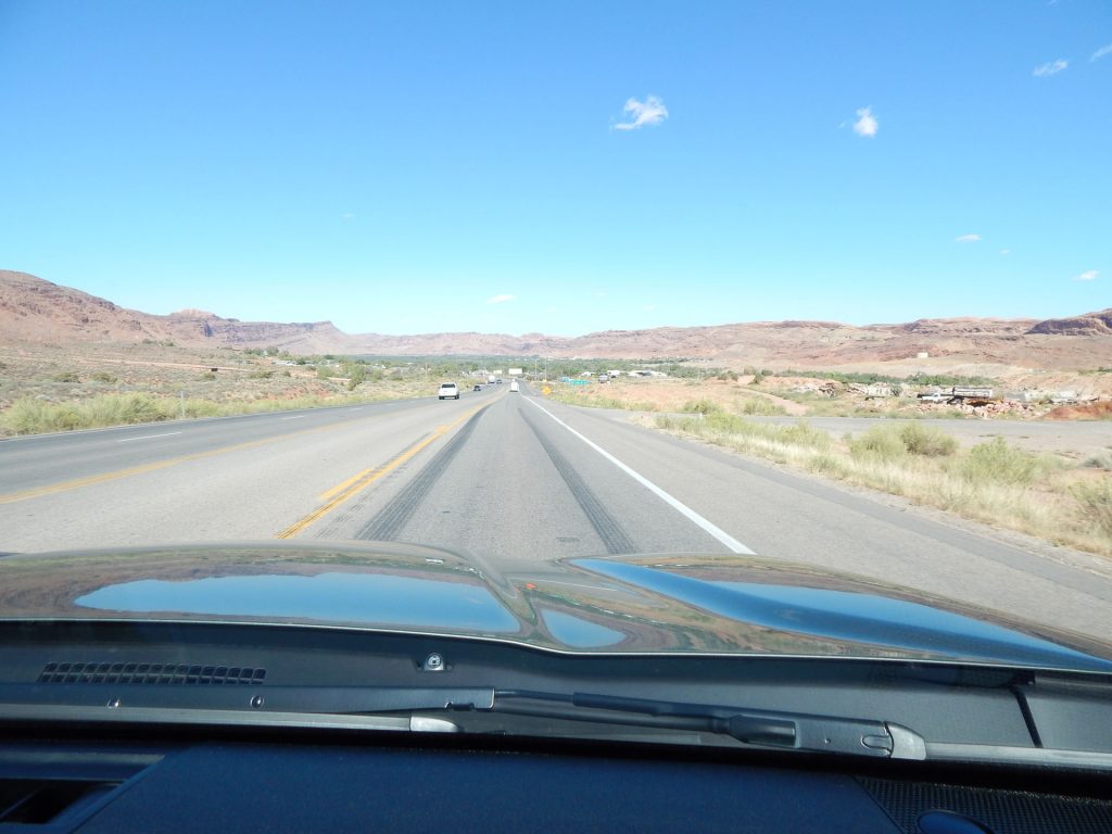
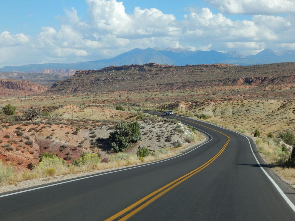
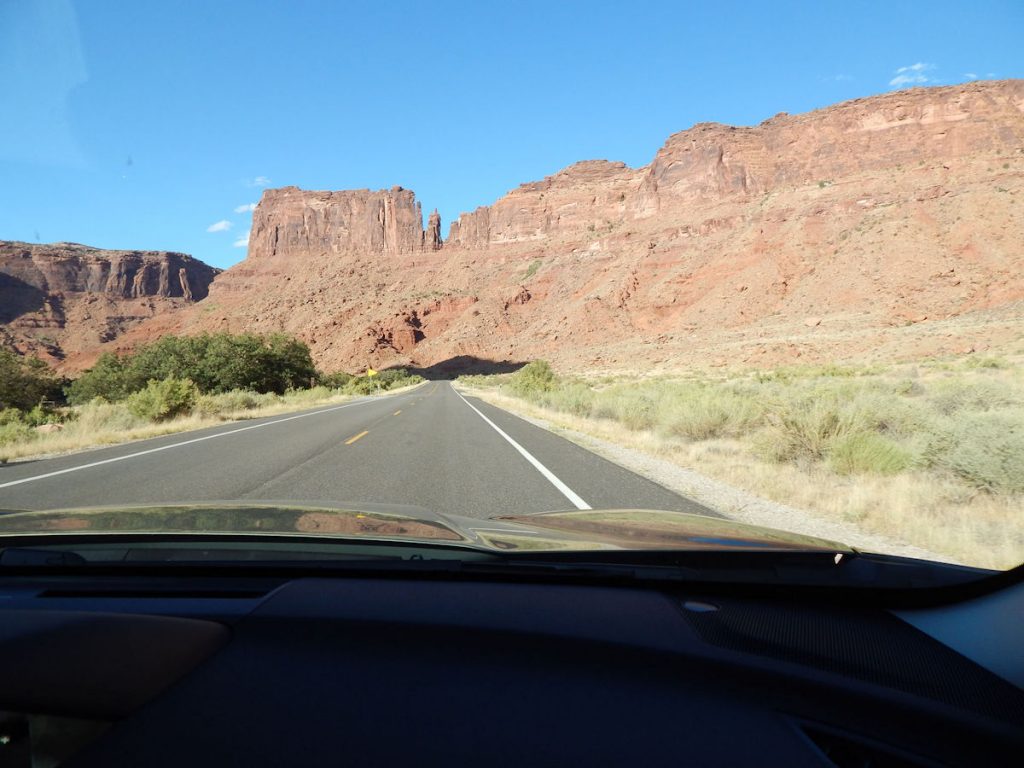
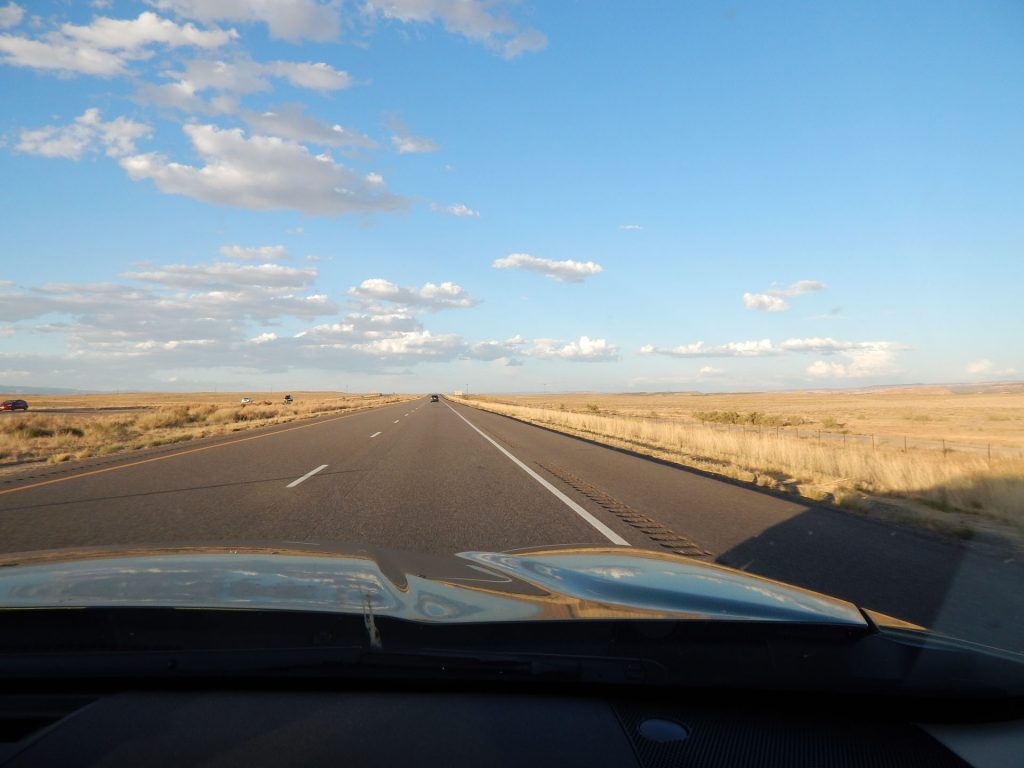
Today, we are driving north along the Utah/Colorado border on our way to Moab and Arches National Park.
First, we are kind of backtracking a little as we head northwest for an hour.
Leaving Cortez, Colorado.  We will soon find out why there is a large agricultural mural downtown. 
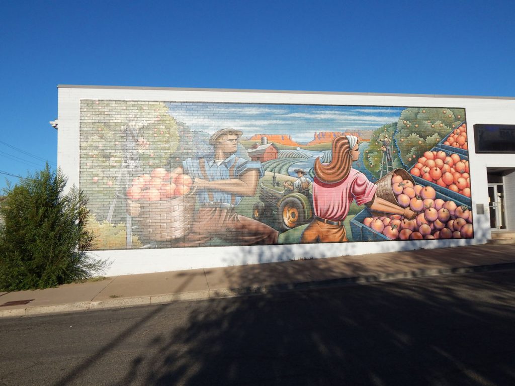
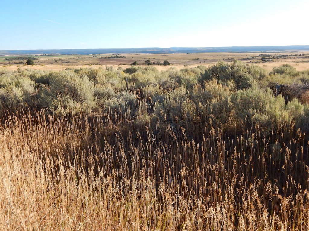
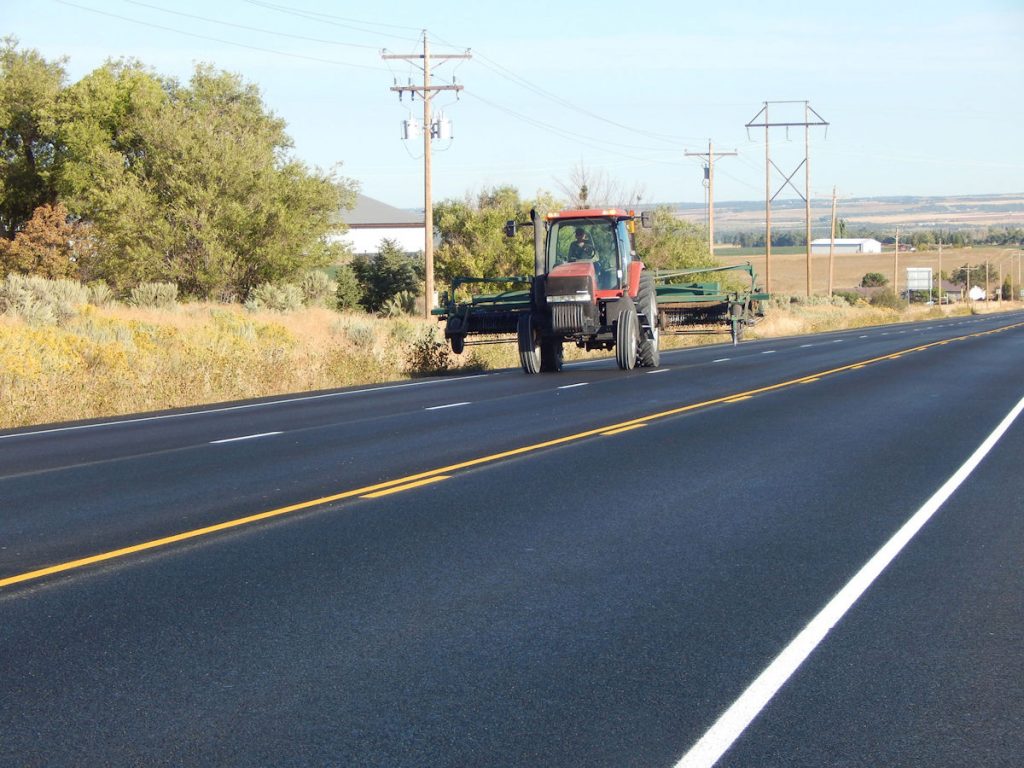
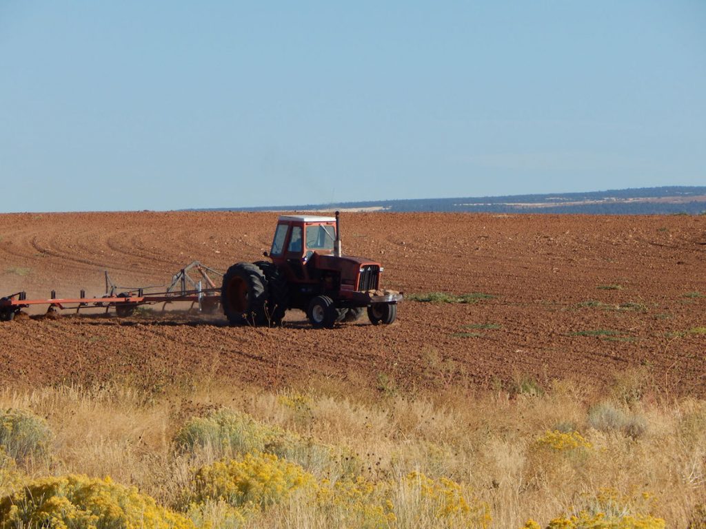
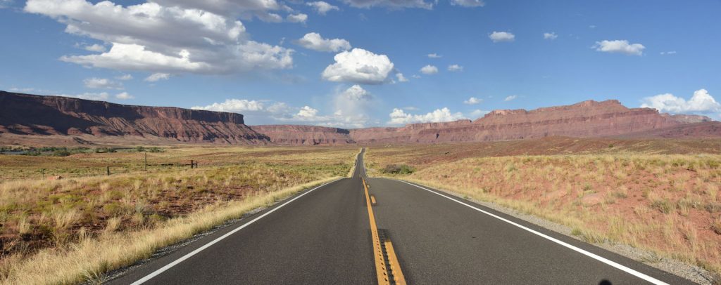
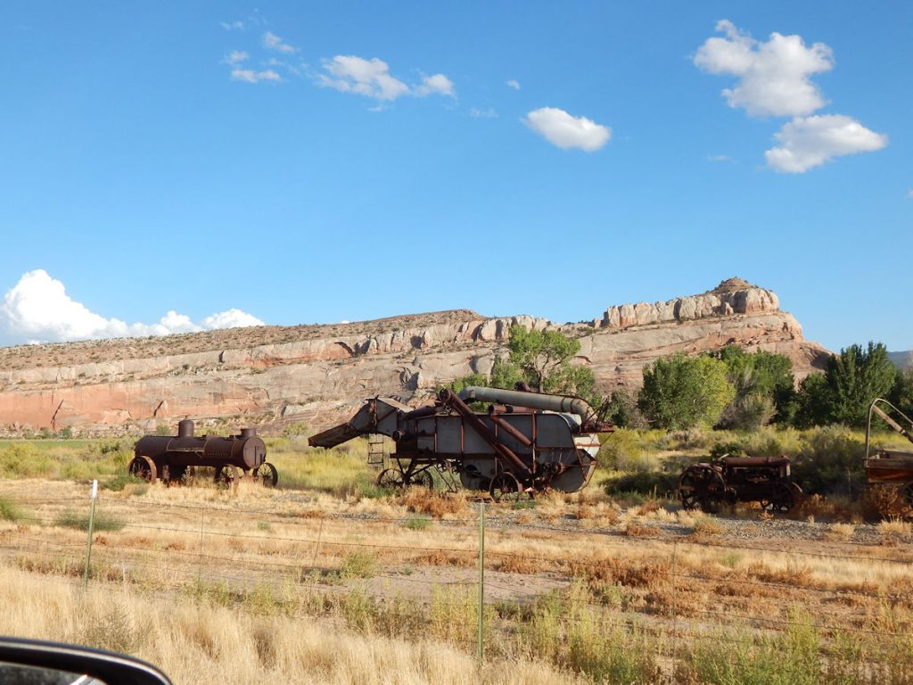
Up until now, we have seen very little farming.
Just north/west of Cortez, we could see the landscape changing rapidly from deserts and rocks to farmland.
Dove Creek, Colorado – just before we crossed over into Utah (again!).
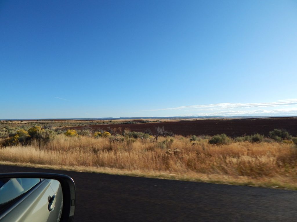
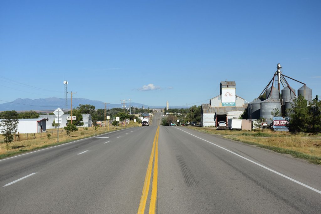
Now we are seeing a lot of farming and agriculture. 
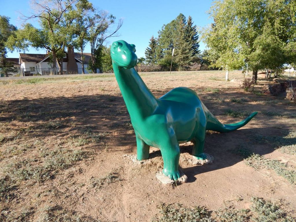
Rt 491 near Dove Creek, Colorado.  (We are still in the far southwest corner of Colorado)
More farmland.  Not what I was expecting to see in Colorado. 
Are we back in Wisconsin already?  (Spoiler alert:  No)
I took this photo of the farming countryside as we waited for road construction. 
Just before the Utah border, we were ready for a break when I saw this long-lost friendly face.
It’s Sinclair!
We used to have Sinclair gas stations in West Virginia, but they disappeared in the 1970s.
 
Do you remember the comedy show “Dinosaurs” from the early 1990s? 
I think they got the name for the dad (Sinclair) from this.
 
Video:  https://www.youtube.com/watch?v=ZHOWnLetNhM 
Back on the road again and nearing Utah.
Again, it’s a lot flatter and more agricultural than I pictured Colorado. 
OK, I think this is the 4th time we have entered Utah on this trip.  (5th if you count Four Corners Monument)
It will be the last time.
Westbound into Utah. More flat farmland. 
Approaching a wind farm near Monticello, Utah.
Monticello, Utah.  Just ahead, we turn right (north) and follow the UT/CO border north to Moab and Arches NP.
Driving north on Utah Rt 191.
Scene right out of the ol’ west.
As we are driving along, we spot this unusual round rock ahead. 
It turns out to be Church Rock, a rather large formation all by itself in the middle of the valley. 
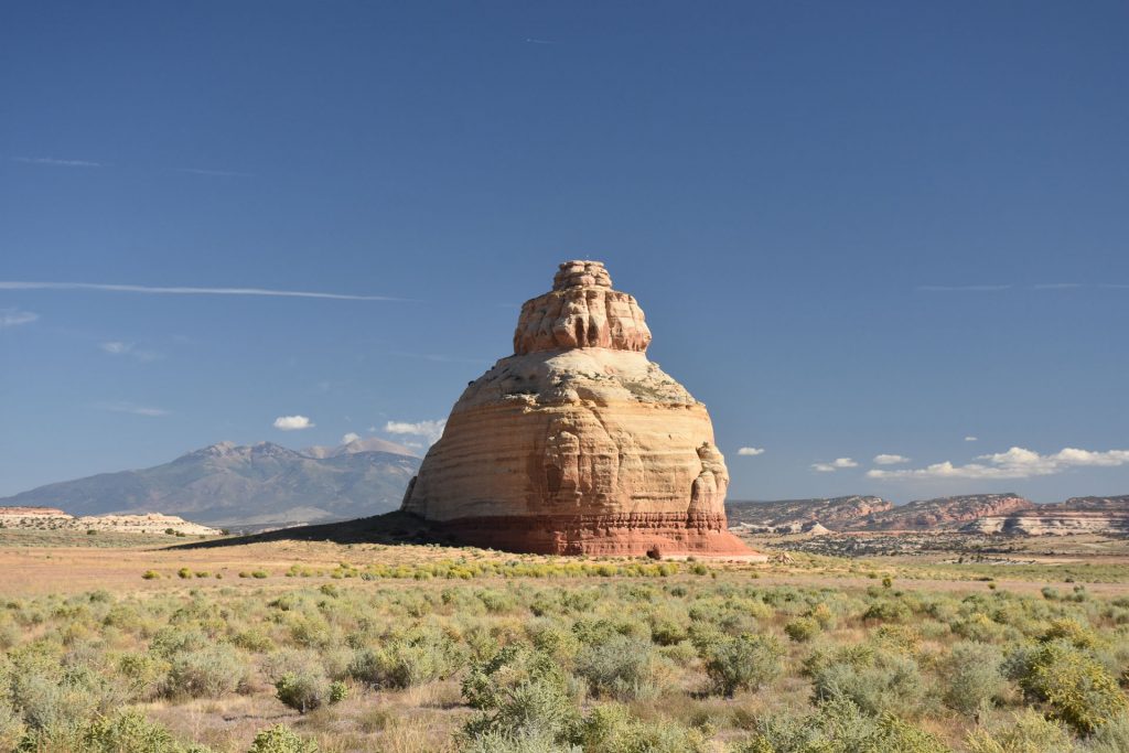
If you look closely, you will notice a 16×24-foot opening at the base.
It was cut out in the 1940s for the owner to store salt licks and cattle feed.
 
Learn more about Church Rock:  https://en.wikipedia.org/wiki/Church_Rock_(Utah) 
This large formation was directly across the road from Church Rock. 
As we continued north on Rt 191, there were more and more red rock formations.
Continuing north on Rt 191 north of Monticello.
About 30 miles south of Moab is Wilson Arch, conveniently located right by the highway.
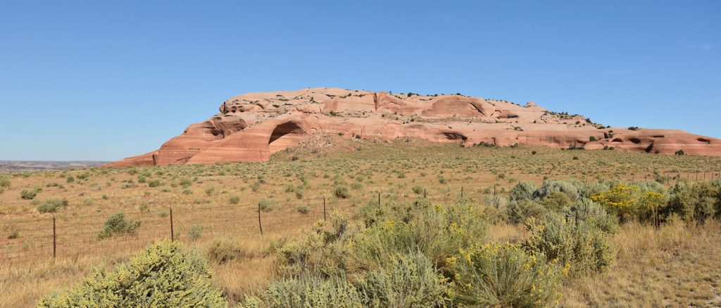
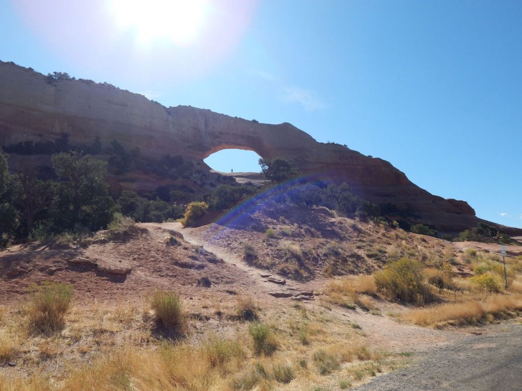
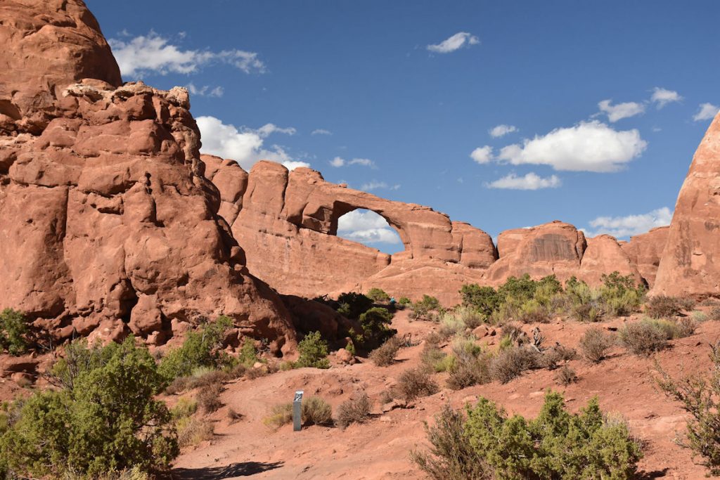
Here, you can see a person standing in the arch.
Photogenic spot on the climb up to the arch.
Quick geology lesson on Wilson Arch.
Another view of Wilson Arch.  The opening is appx 50 feet high and 90 feet wide.
 
 
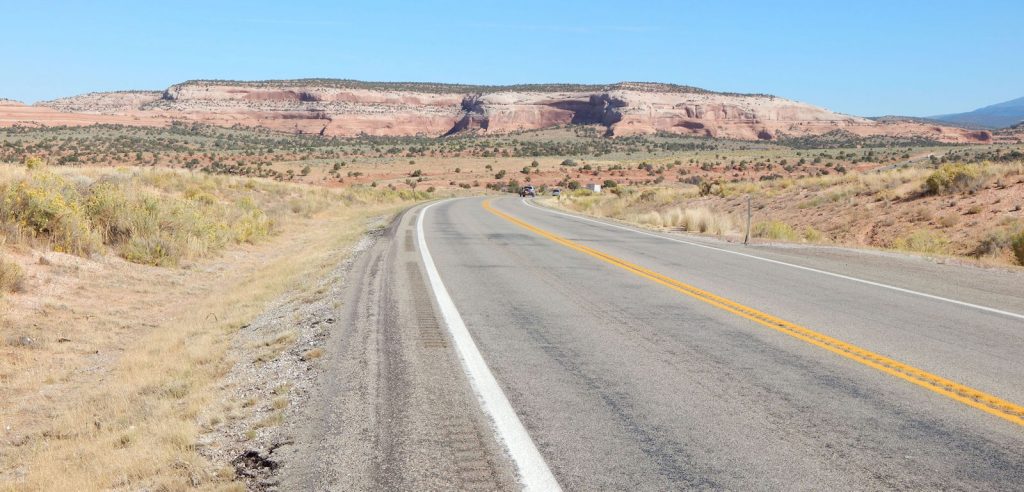
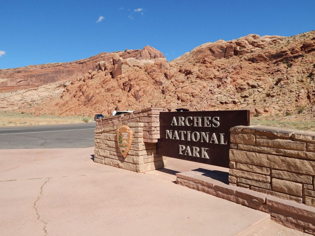
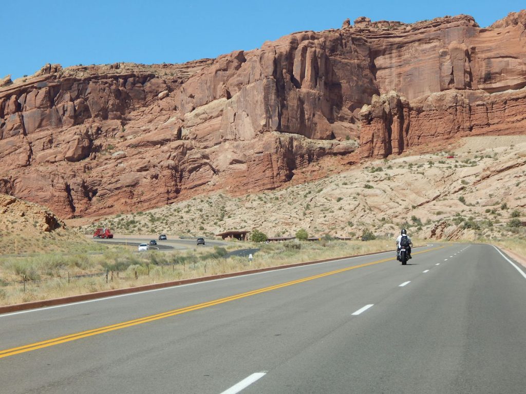
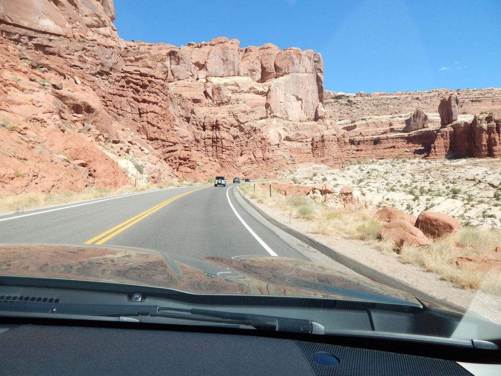
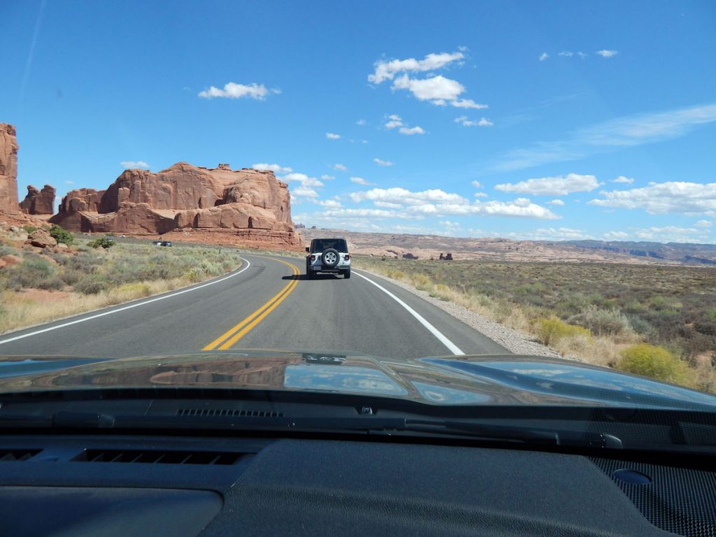
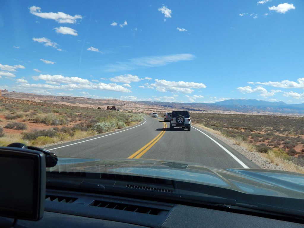
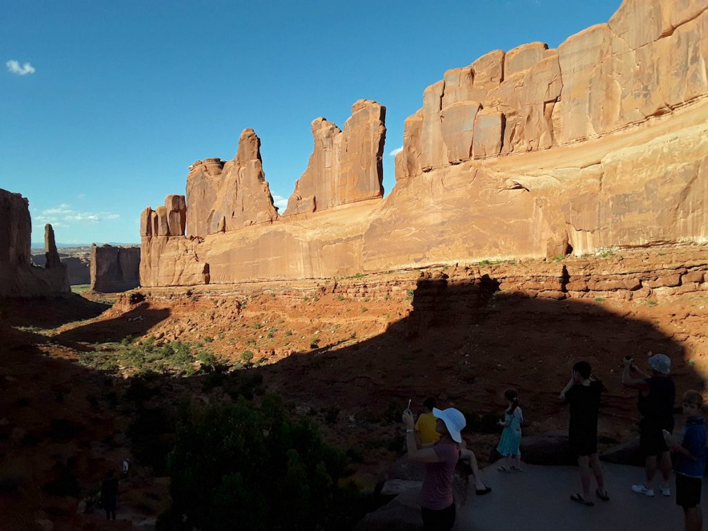
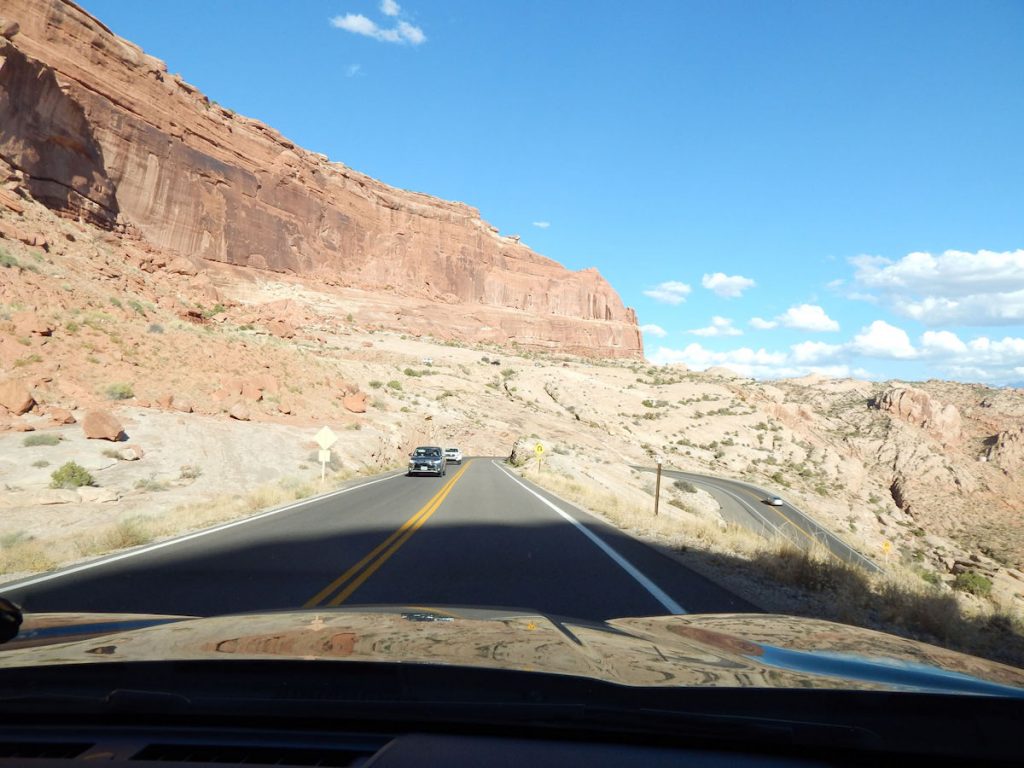
From there, it was north to Moab and Arches NP.
View of the highway north from Wilson Arch.
Welcome to Moab.  This town is focused on outdoor sports activities and the young.
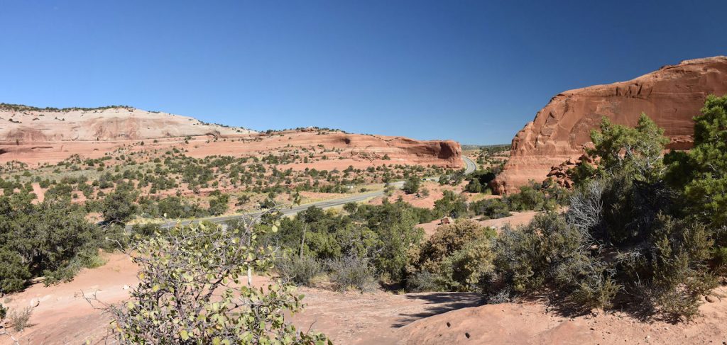
Off-roading, mountain biking, hiking, etc.  Mostly sports where stores can sell you expensive STUFF you might need.
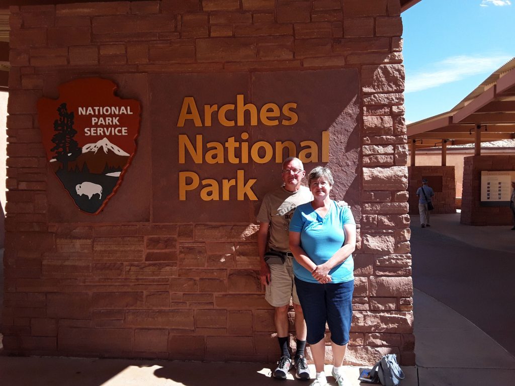
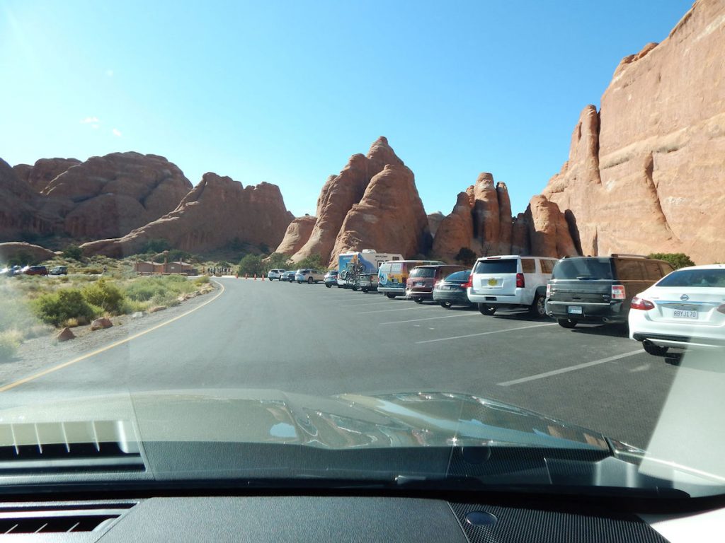
We grabbed a quick Subway sandwich and headed for Arches NP on the north side of town.
Heading north of Moab to the entrance to Arches NP.
There is the sign.  Just ahead to the right.  Look at those tall peaks!  (We’re already at 4,000 feet elevation)
Welcome to Arches National Park – our 5th National Park on this trip. 
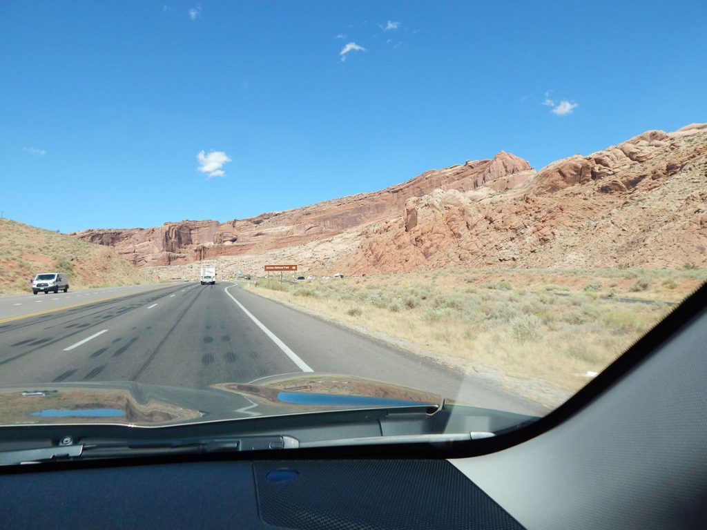
(6th if you count the Grand Canyon South Rim and North Rim separately)
Coming up to the entrance and Visitor Center.
The two explorers at the Visitor Center.
After stopping at the Visitor Center to get our National Park Passport stamped, we started the long climb up into the park.
On our way up the long hill into Arches NP, we could look back on Moab and the road we came in on.
Zigging and Zagging our way up the long hill.
There were so many of these huge balanced rocks it was hard to count.
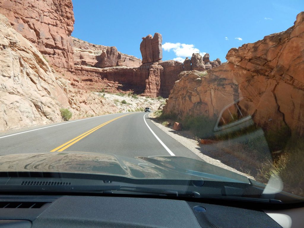
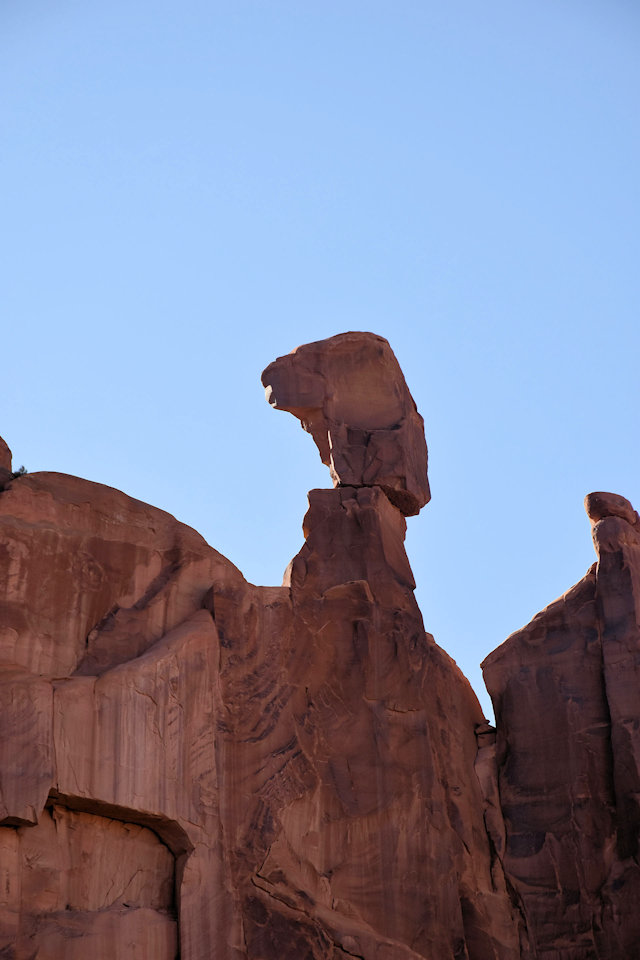
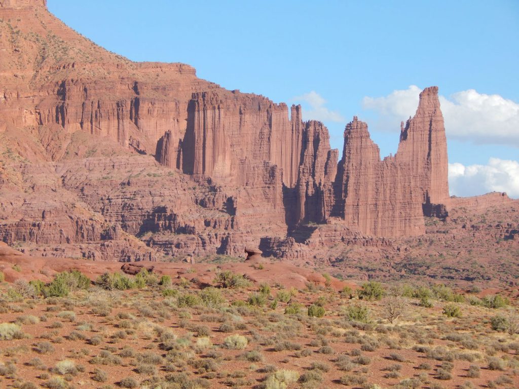
It looks like a strong wind would just bring those down on the cars passing by. 
Not today….. please!
Nearing the top.
More balanced rocks on the climb up the hill.
We’re at the top!  The rest of the park is on this relatively level plateau about 1,000-1,500 feet higher than we were at the entrance.
Getting ready to enter the first group of rock formations. 
Continuing into Arches NP. 
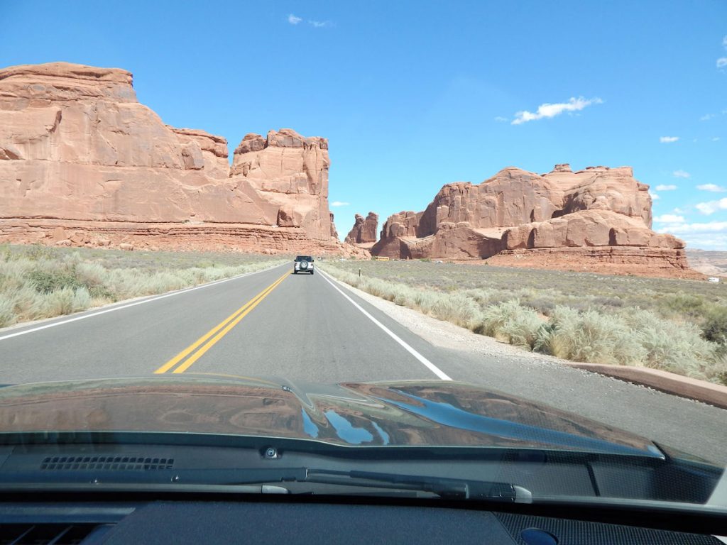
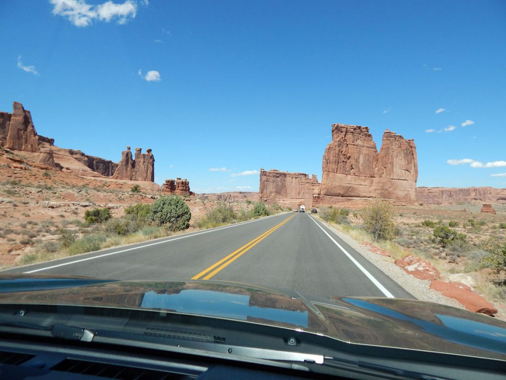
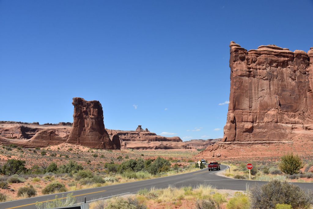
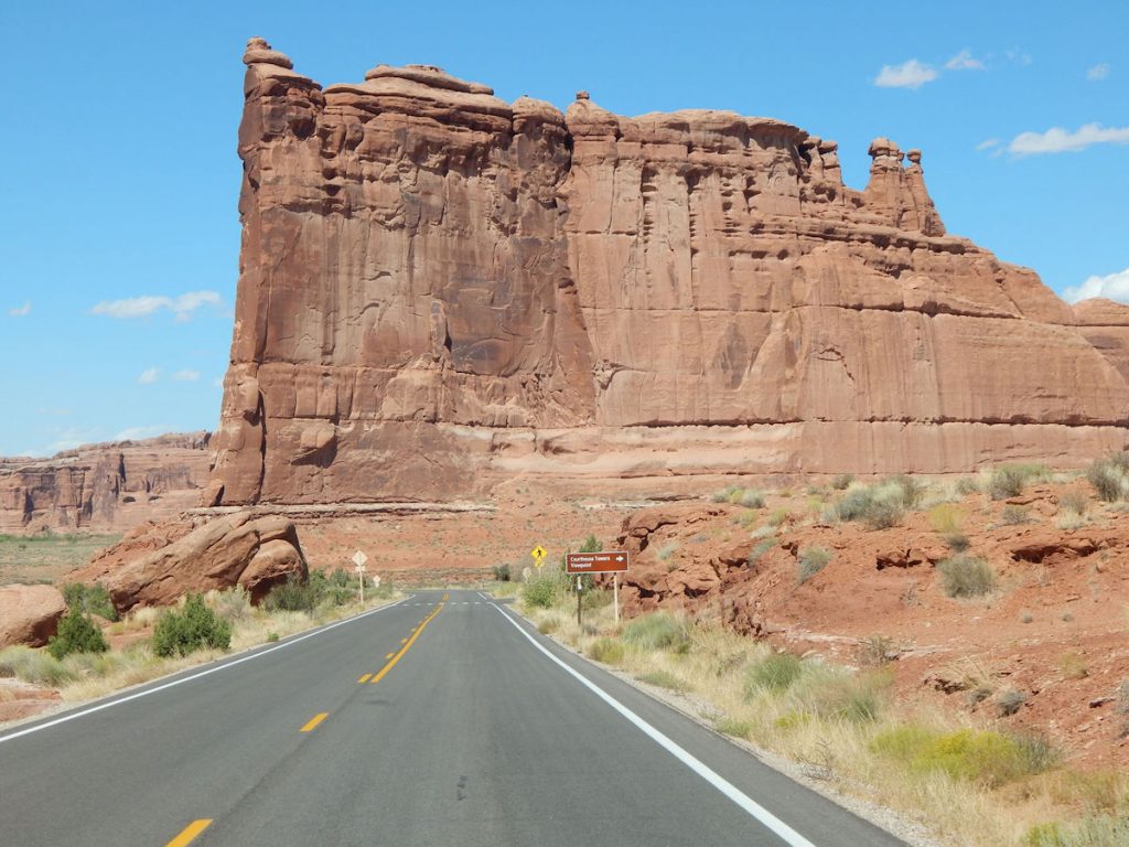
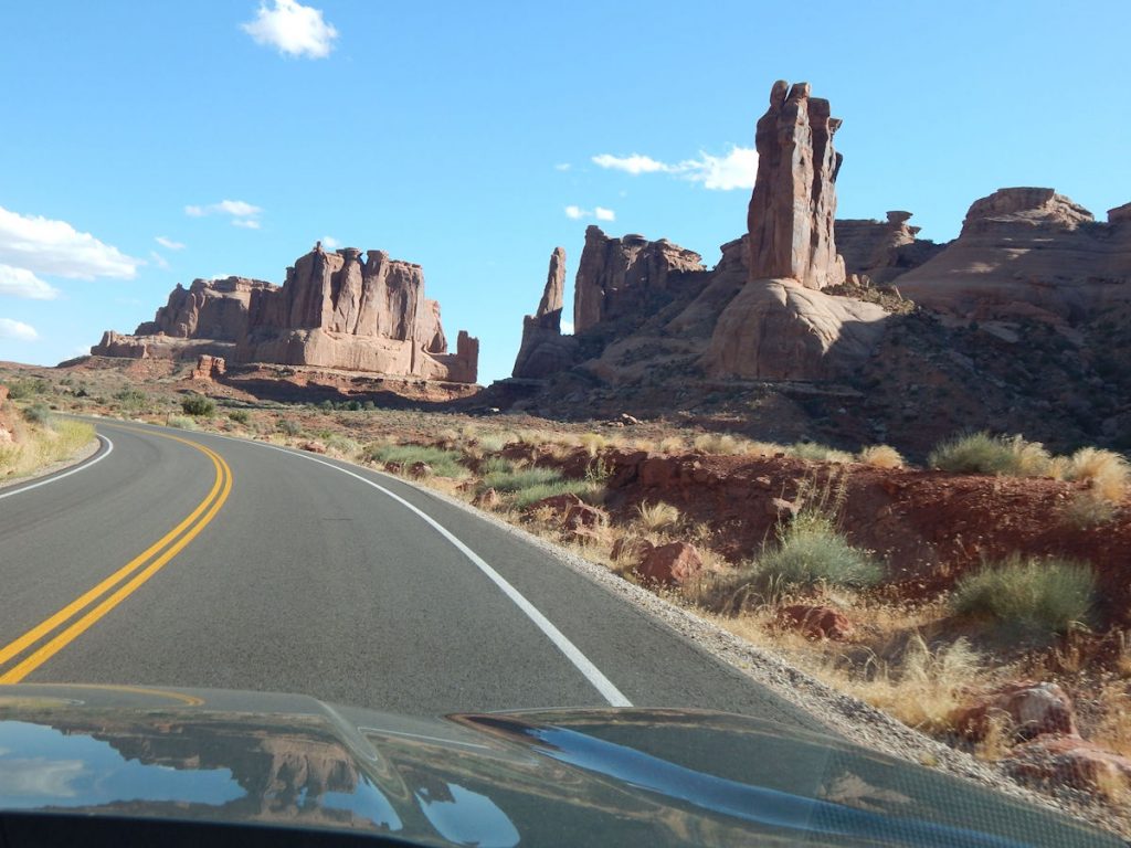
The Three Gossips is just ahead to the left.
The Three Gossips. (background to the right)
 
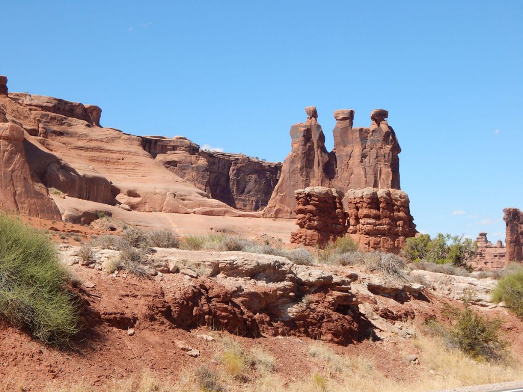
The Three Gossips is a mid-size sandstone tower (about 350 feet tall) sitting atop a roundish pedestal within the
Courthouse Towers cluster that includes the Argon Tower, The Organ, Tower of Babel, Sheep Rock, and The Lamb.
The name no doubt comes from a slight resemblance of the formation to three heads “gossiping” to each other.
(From SummitPost:  https://www.summitpost.org/the-three-gossips/154843  )

Soon, we are in the Ancient Sand Dunes area.
These formations occurred when ancient sand dunes hardened into stone under the
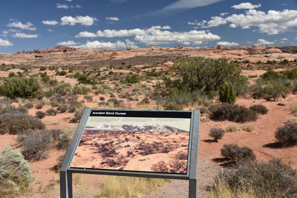
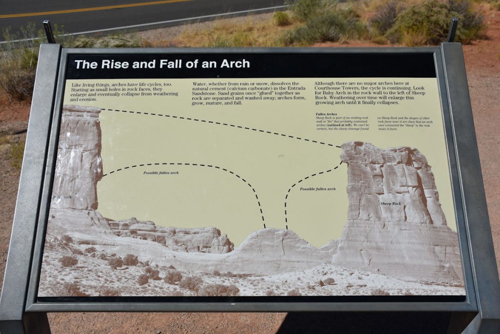
overlying subsequent material, which later eroded away.
Panorama of the Ancient Sand Dunes
Sheep Rock is the rock formation on the left. 
At one time, there was an arch spanning from it to the rock on its left.
(See next photo for more details)
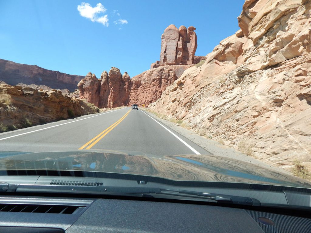
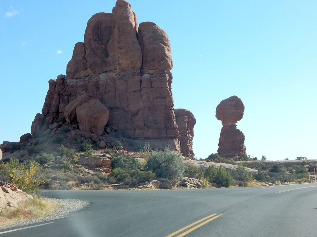
The large formation to the right is part of Courthouse Towers.
Geology lesson on previous photo.
Here is a full view of the Courthouse Towers seen in the previous photos.
Just north of Courthouse Towers is this amazing view – Balanced Rock. 
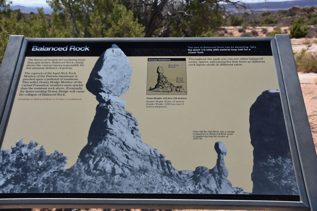
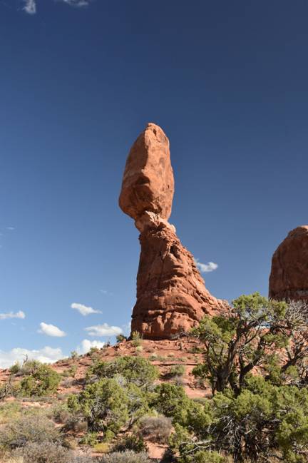
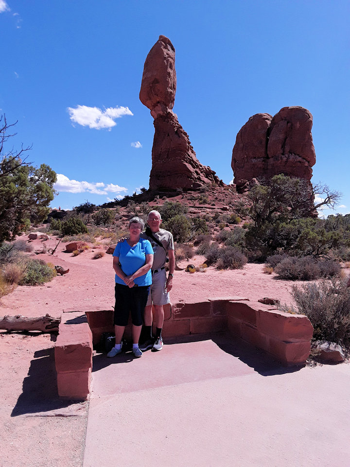
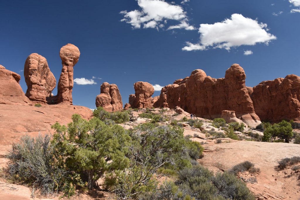
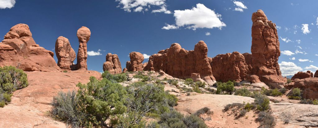
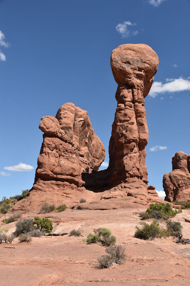
We’ve seen some balanced rocks earlier on this trip (Lee’s Ferry Road), but none this big and this high off the ground!
View of Balanced Rock from almost a quarter-mile away.
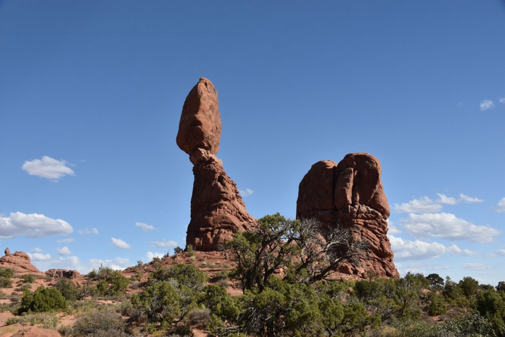
For scale, you can see a couple of hikers way to the left, and they are still quite a distance from it.

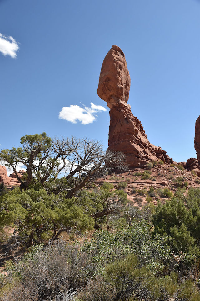
Just the boulder on top is 55 feet high and weighs 3,500 tons! 

Hi! 
North of Balanced Rock, we turned to the right (east) into the Windows area. (You can see the road off to the right)
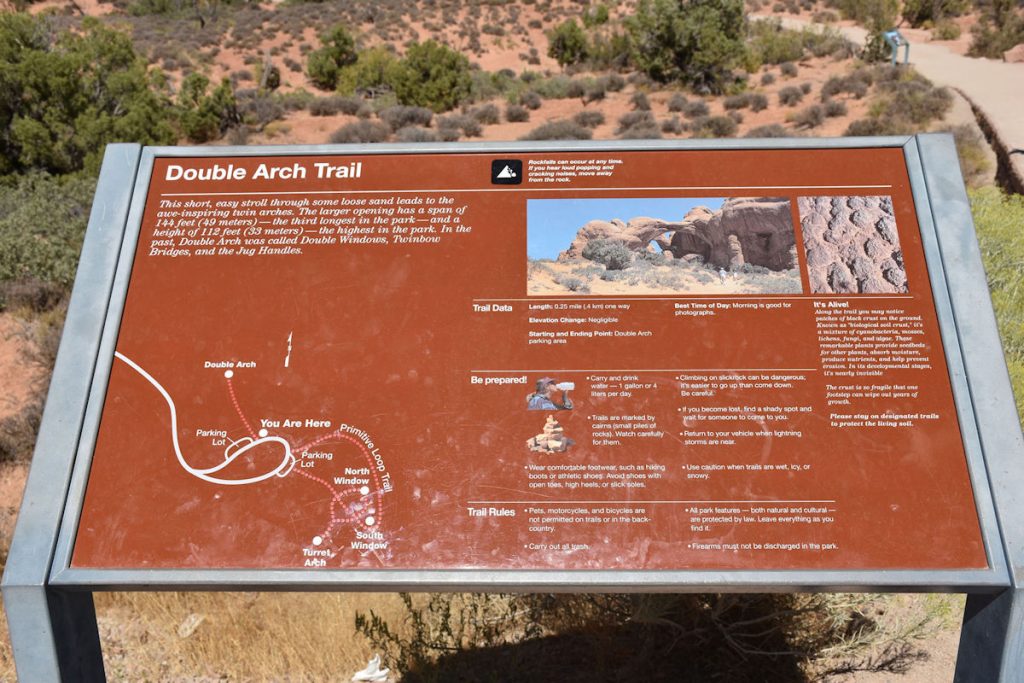
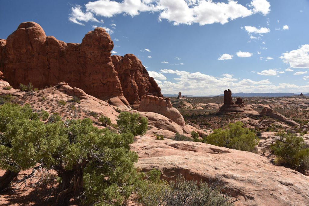
This 3-mile side-road is a good detour to take to see Double Arch and the Windows.
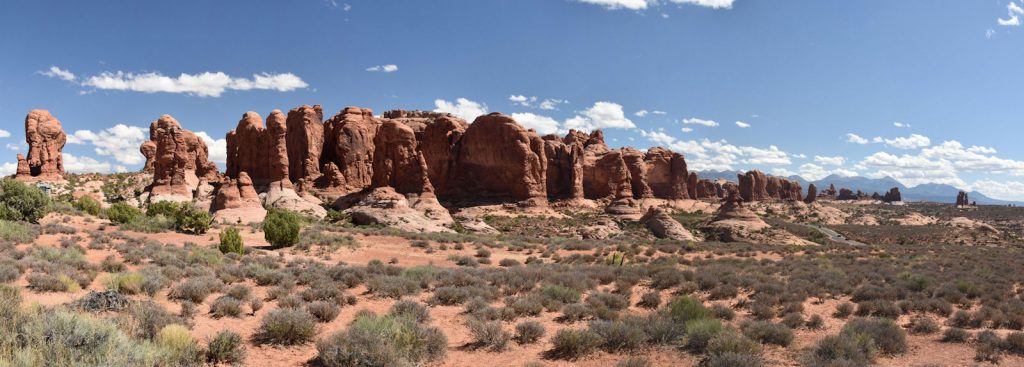
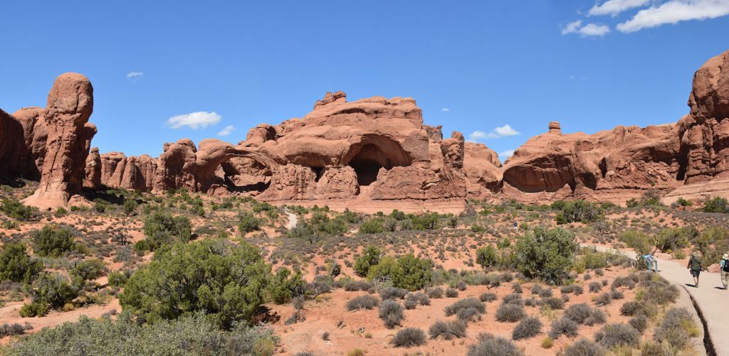
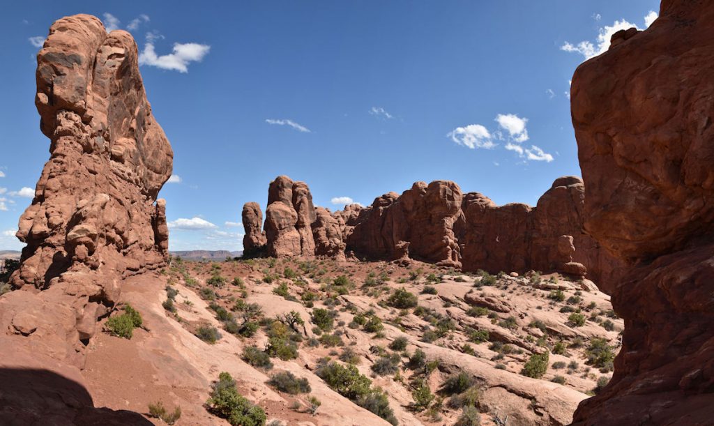
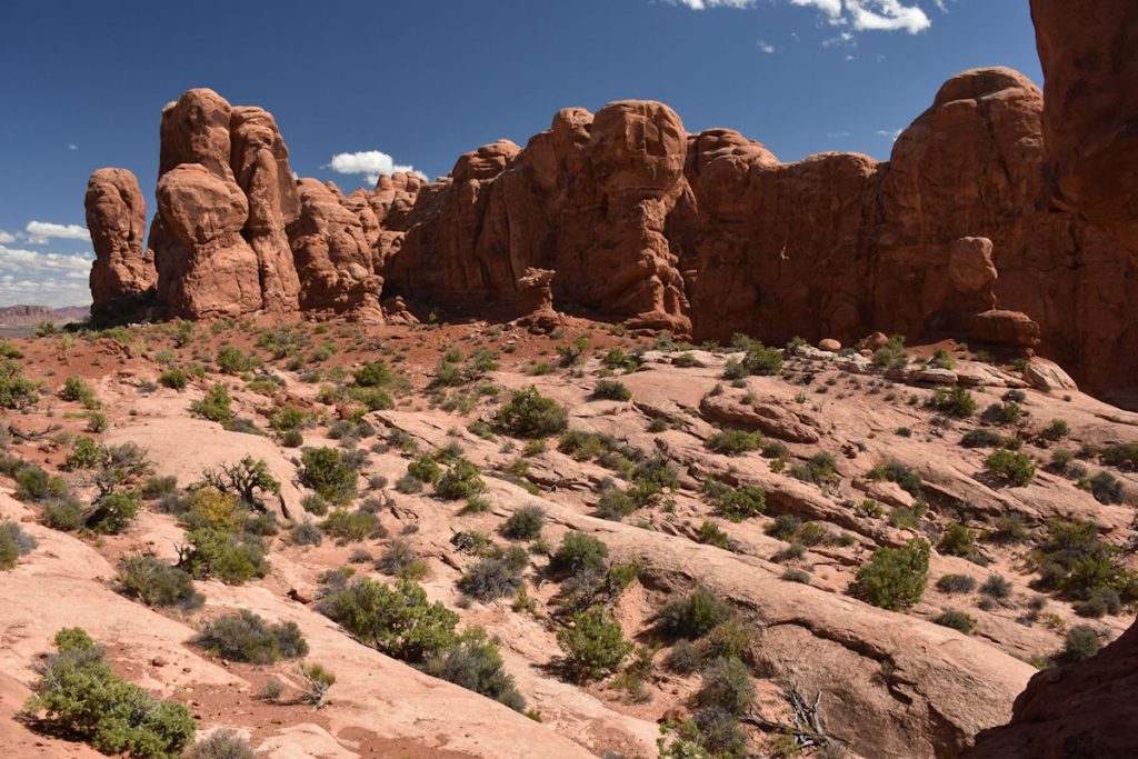
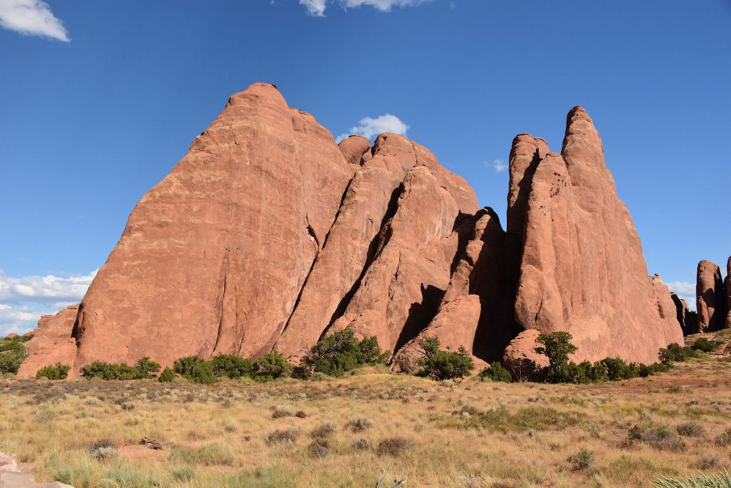
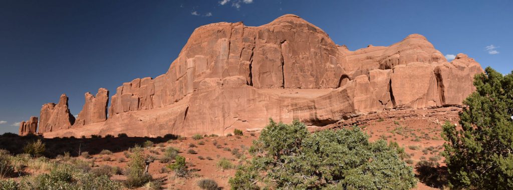
Many of these large formations resemble elephants and have been named Parade of the Elephants.
Close-up of the road back to Double Arch.
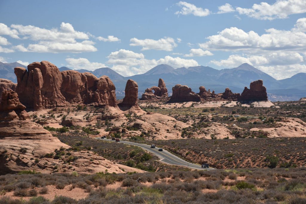
One of the arches can be seen in the middle of the photo. (It looks like a hand giving the “OK” sign)

At the end of the short detour, we reach the parking lot and trails to Double Arch and the Windows.
Hiking up to the Double Arch (left of center). 
Here, you can see through the double arches.
Another view through Double Arch.
View of the Windows, opposite Double Arch on the same hillside. 
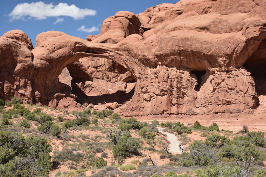
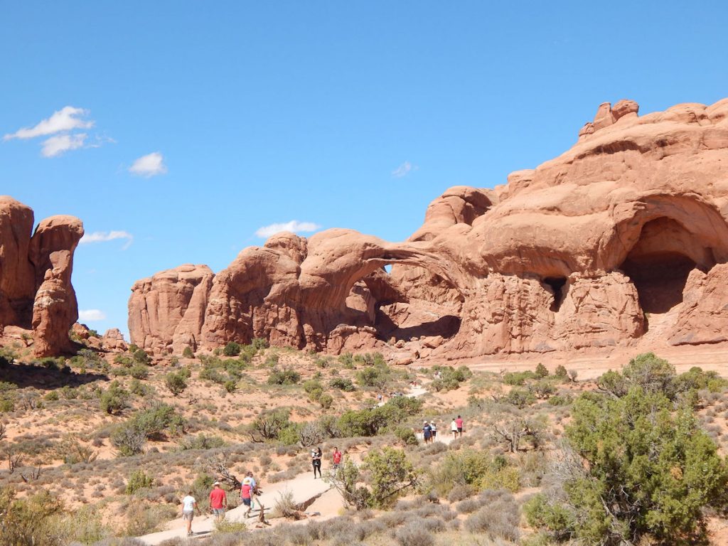
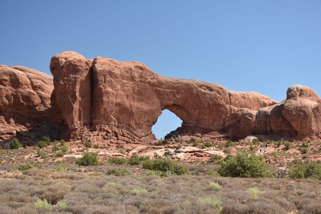
We were both pretty hot and tired by now and decided to view from a distance.
Hidden behind the large rock to the right is another arch.  From a distance, they look like two eyes.
As we were leaving the Windows area, we looked back on Double Arch and Parade of the Elephants.
Another roadside geology lesson. 

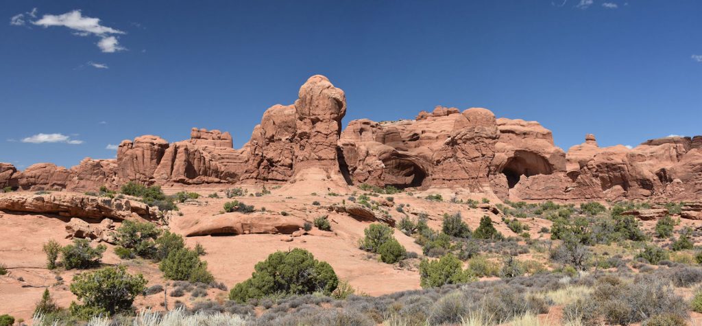
Our next stop was the Garden of Eden.

It’s a short hike up the hill to the Garden of Eden.
Panorama of the Garden of Eden and surrounding rocks. 
Climbing up to the entrance of the Garden of Eden.
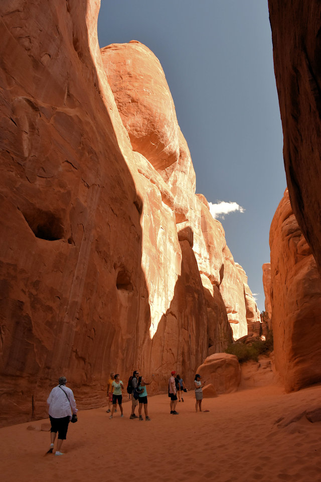
(Shadows of two hikers between the rocks show scale)
Entering the Garden of Eden.
Inside the Garden of Eden.  Well worth the hike up the hill.
Nice view south leaving the Garden of Eden. 
This panorama from the entrance to the Garden of Eden looks west toward Pothole Arch.

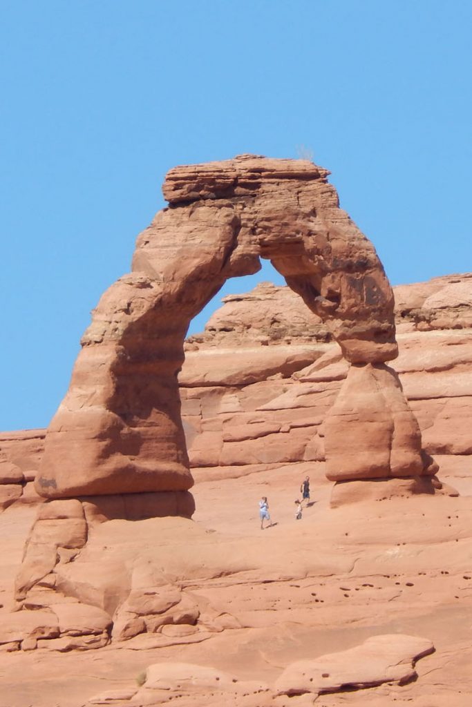
Our Next Destination Is Delicate Arch

While the name may not be familiar, most people will recognize

Delicate Arch as the “trademark” signature of the park.
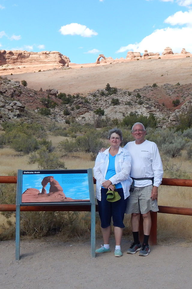
Another detour takes us out about 3 miles to the Delicate Arch Viewpoint.
Our first view from the parking lot is from about 1 mile away.
Time for a hike.
The first part of the hike is pretty easy.  We are taking the short hike which takes us to a viewpoint about halfway there.
Then the trail gets a little more difficult.
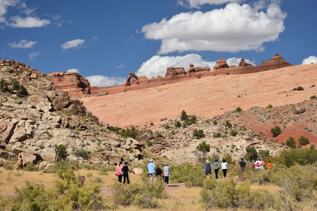
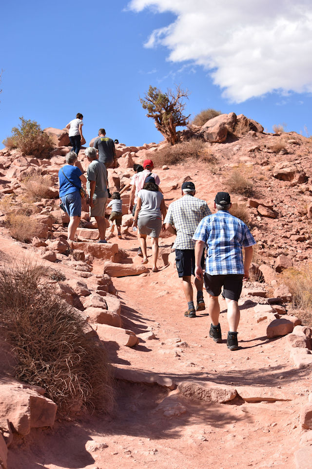
There is a longer trail (3 miles round-trip over similar rocky ground) that takes you up to the arch, but we did not have time today.
Getting a little closer to Delicate Arch.
Now you are probably saying, “Yes, I’ve seen that!”
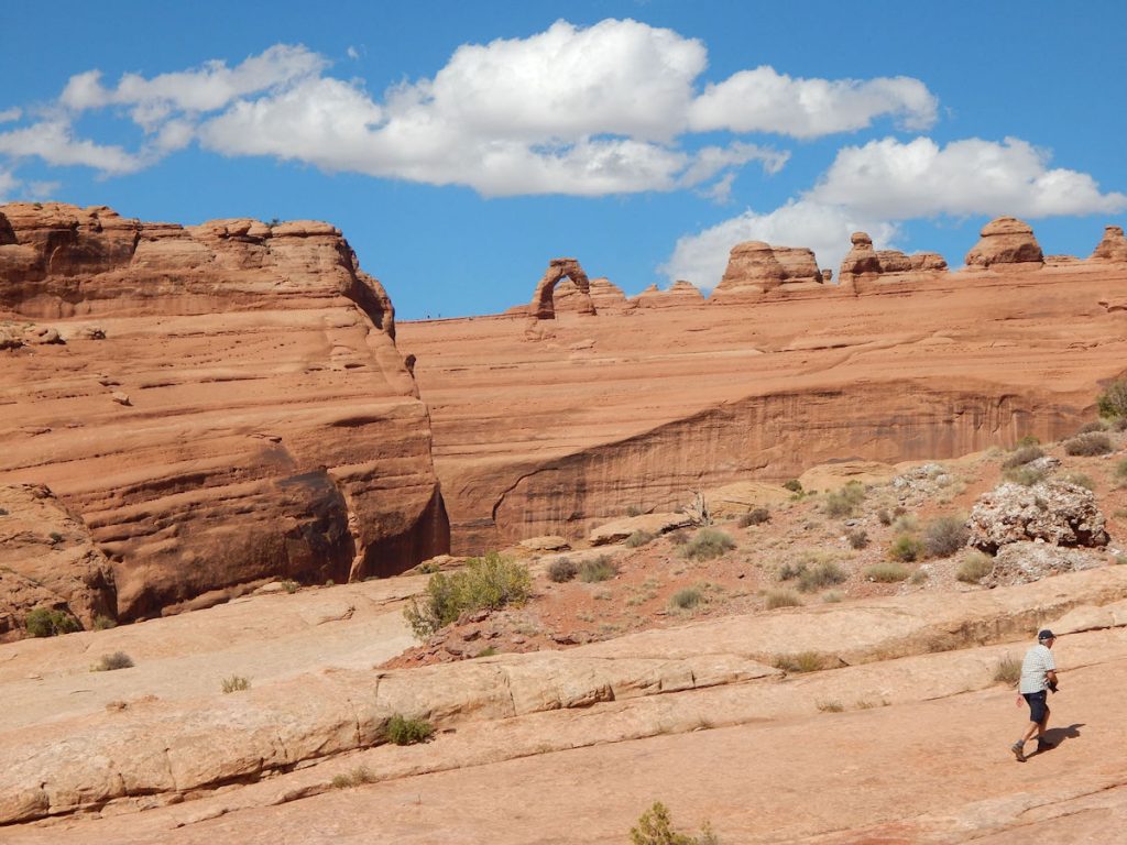
This 52-feet-high arch is pictured on the Utah license plates and
US postage stamps.
 
The Olympic Torch relay for the 2002 Winter Olympics
passed through the arch.

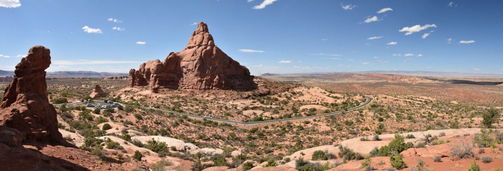
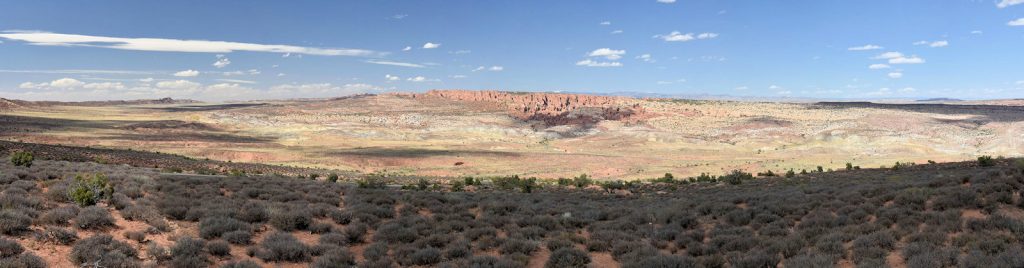
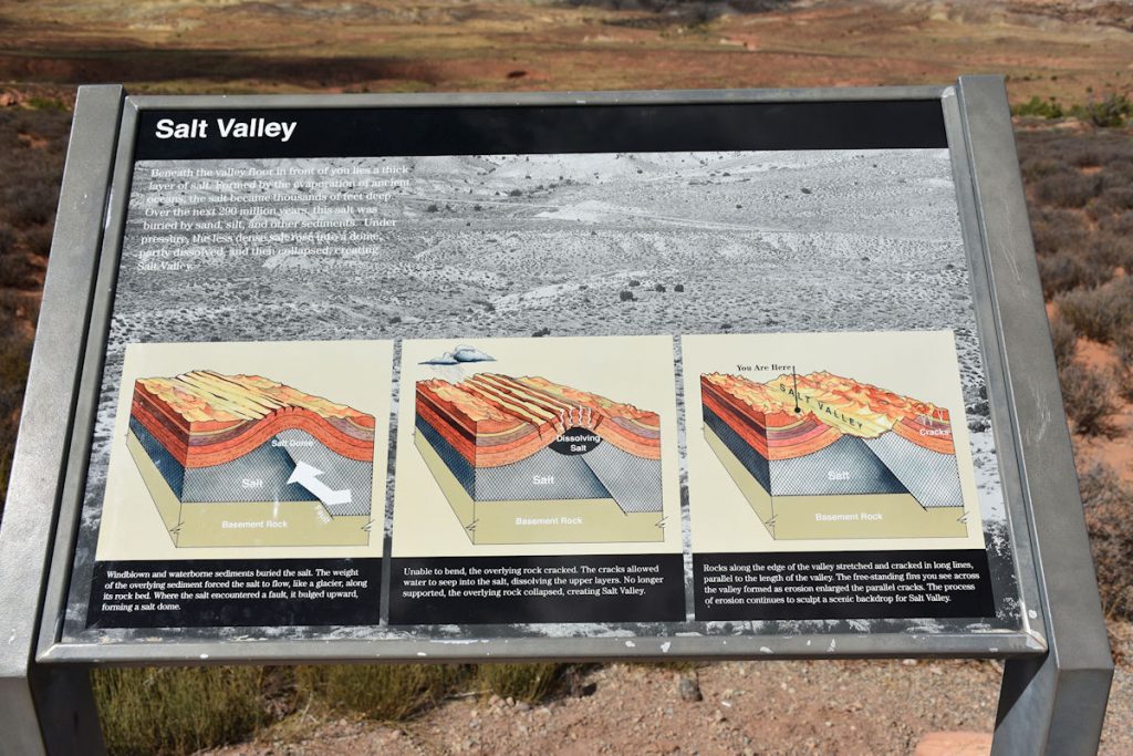
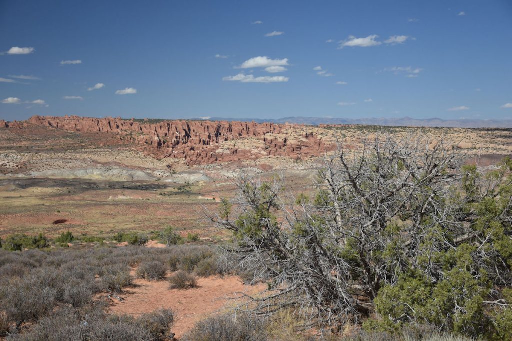
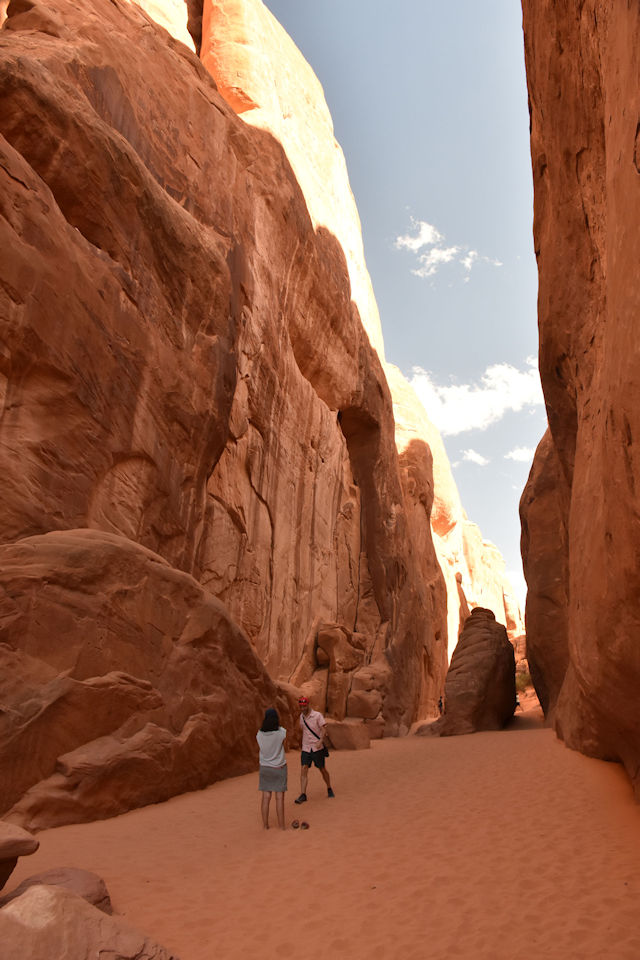
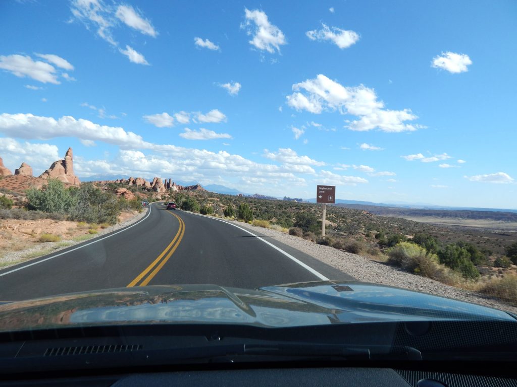
Continuing north on the park road, we enter Salt Valley

Amidst all of the large rock formations is Salt Valley.
“Beneath the valley floor in front of you lies a thick layer of salt.  Formed by the evaporation of ancient oceans, the salt became thousands of feet deep.  Over the next 290 million years, this salt was buried by sand, silt, and other sediments.  Under pressure, the less dense salt rose into a dome, partly dissolved, and then collapsed, creating Salt Valley.”
Another view of Salt Valley.
This black bird was keeping watch over Salt Valley.  This would be a neat place to be a bird for a day.
Roadside scene along Salt Valley.
Panorama of the road through the northern section of Arches NP.
Another roadside photo op.

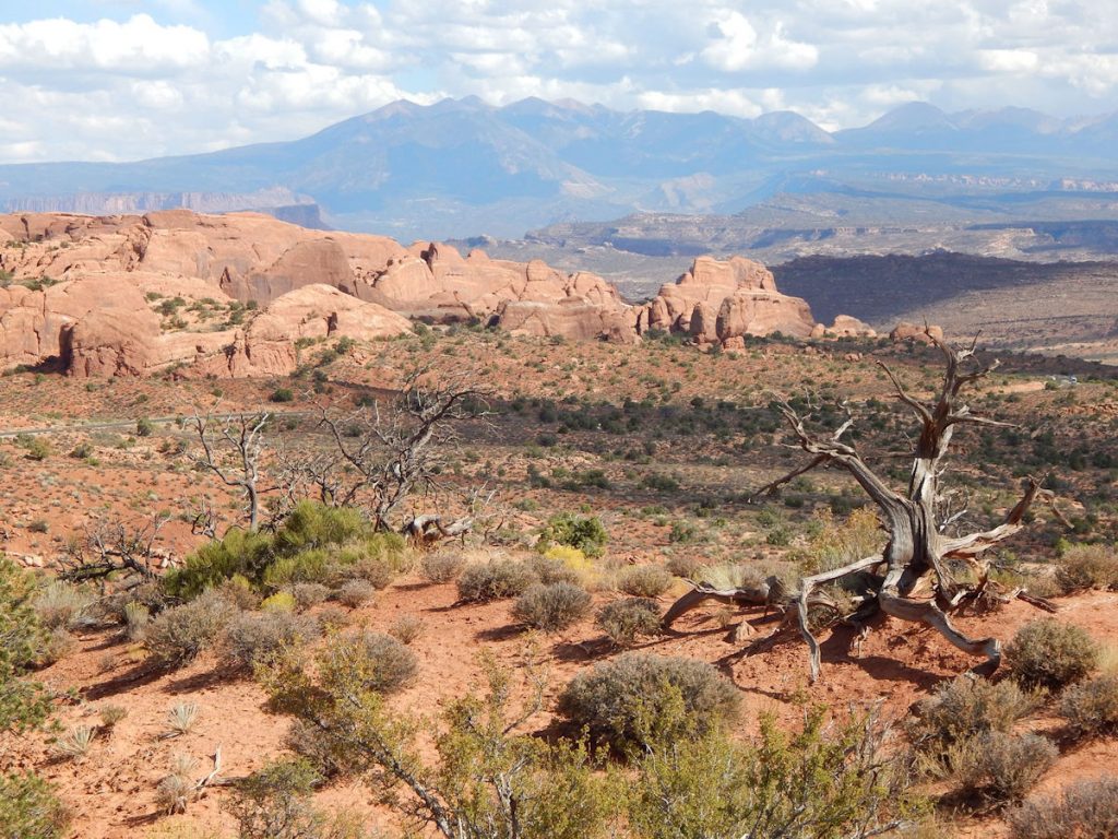
Our next stop will be Sand Dune Arch.  It is an easy hike from the road.

From the road, you cannot see the arch, as it is hidden in the middle of this formation.
This sign describes the trail going to Sand Dune Arch.  This one is only 0.2 miles each way.
As we walk along the side of the rock formation, you can see there are gaps between the “fins”. I liked this view with the old tree.
At one point, we need to enter the formation
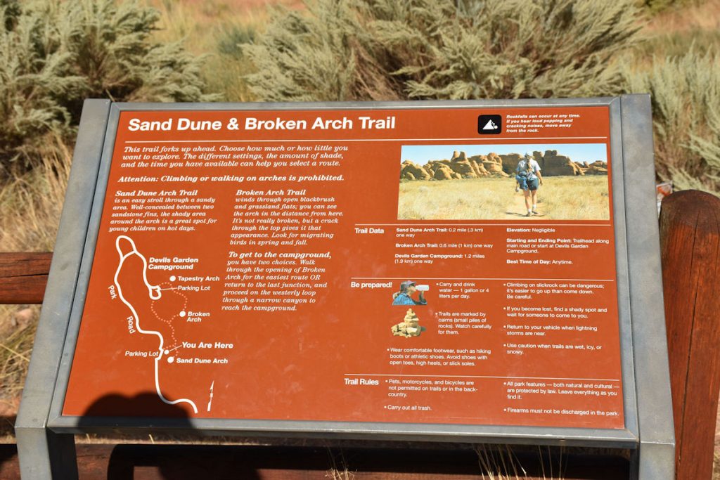
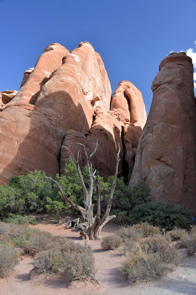
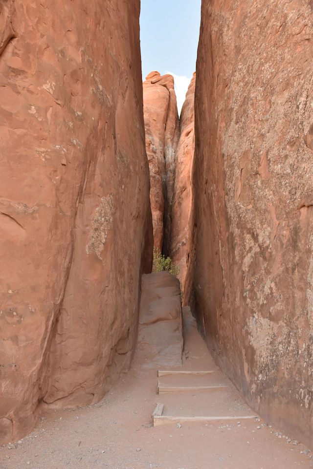
through this narrow gap.
Continuing through the gap, we are suddenly walking on sand.
Then, we reach the center of the formation where several people have already gathered.
Sand Dune Arch – hidden in the middle of this large rock formation.
This old man jumped into the photo to show scale. 
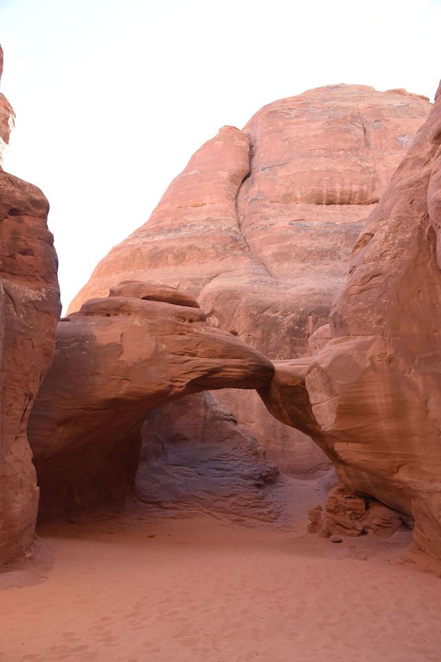
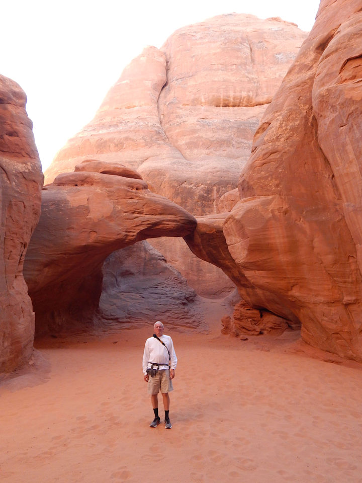
Not the largest arch in the park by any means, but still pretty neat.
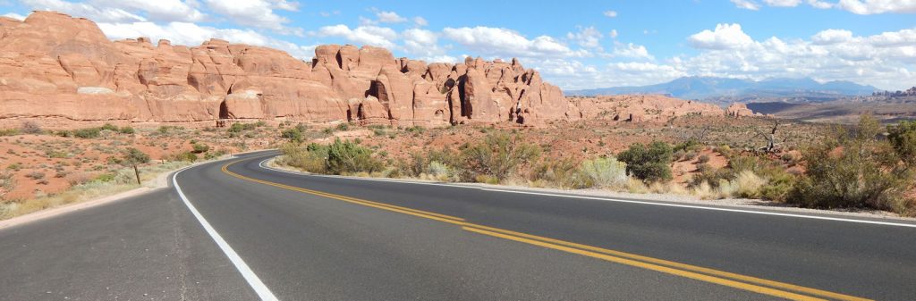
Back to the car to finish our northbound adventure.
Nearing the north end of the park road, we reach Skyline Arch.
I’m glad I wasn’t visiting here in 1940 when that large boulder came rolling down the hill!
Skyline Arch today. 

TIME TO TURN AROUND

We’ve reached the north end of the Arches NP road.  

Time to turn around and head south for a recap of today’s sights.

The parking lot and turn-around at the north end of Arches NP.
Heading south again at the north end of Arches NP road.
Southbound through Salt Valley.
So many scenic views.
Another scenic view along the north side.
Back to the middle of the park – Balanced Rock.
Three Gossips.
Before we leave the park, we want to stop at Park Avenue.
(See next photo)
Photo of Park Avenue shown on the sign in previous photo.
Entire north wall of Park Avenue formation.
View up the valley with Park Avenue formation on the right.
Panorama of the Park Avenue formation and valley. 
Just off to the left in the previous photo is this huge boulder precariously balanced on a cliff top.
Just guessing, I would say the boulder is about 100 feet tall.

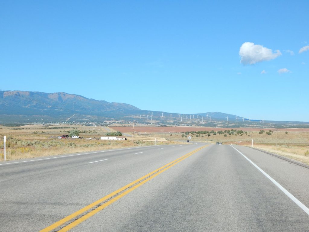
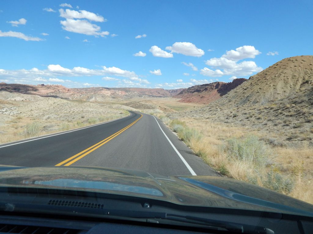
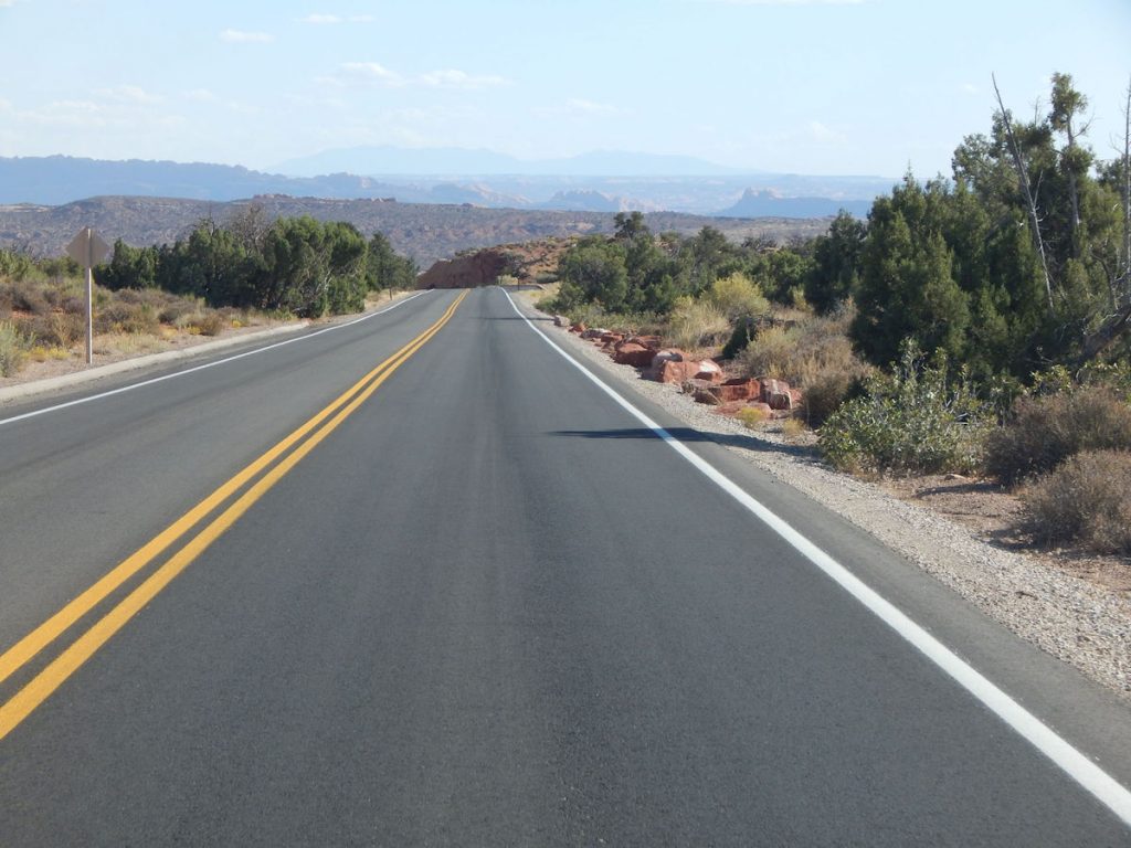
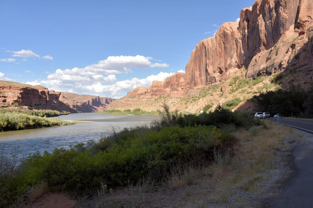
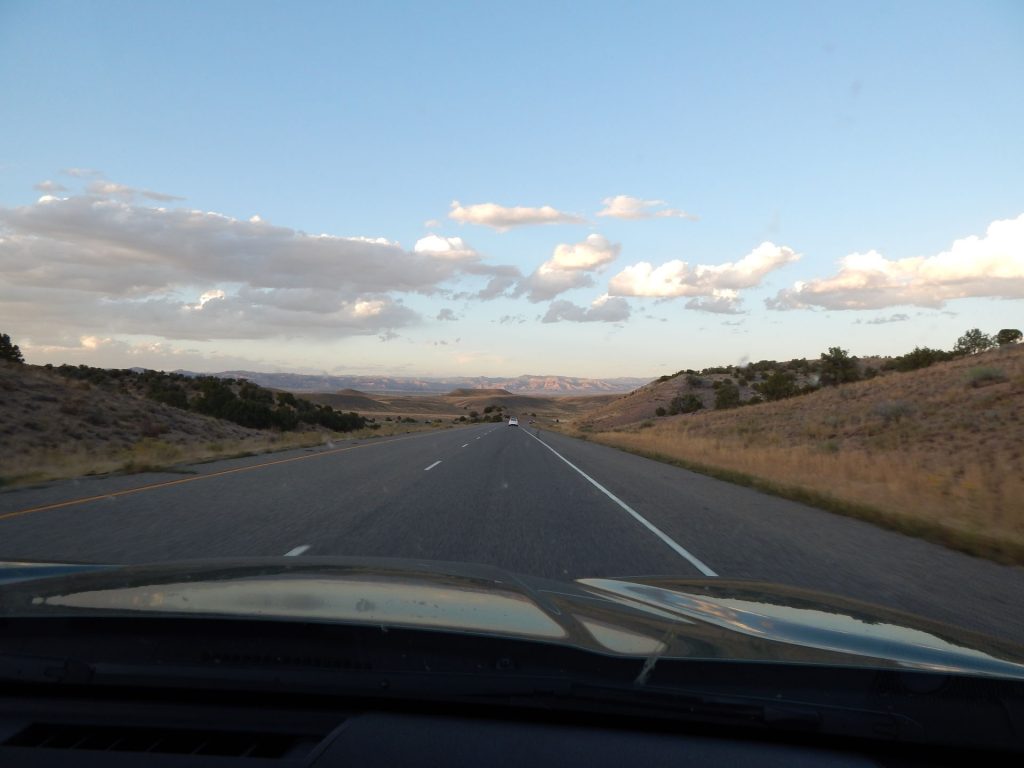
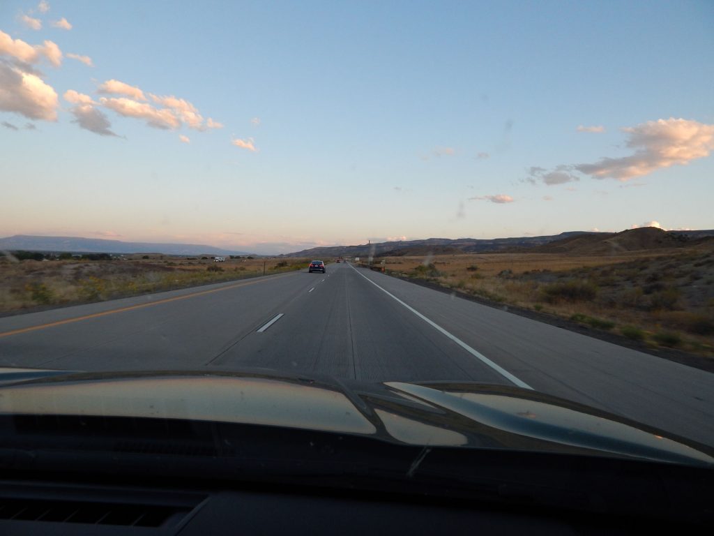
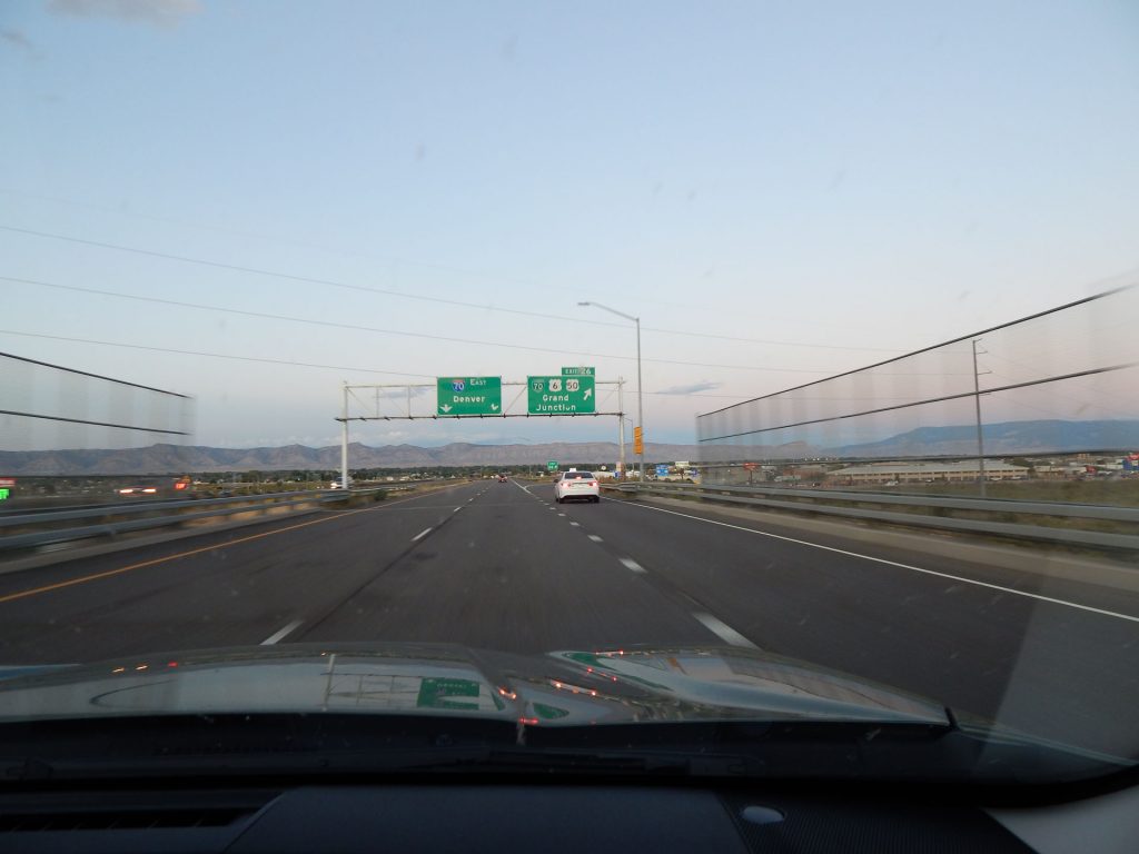
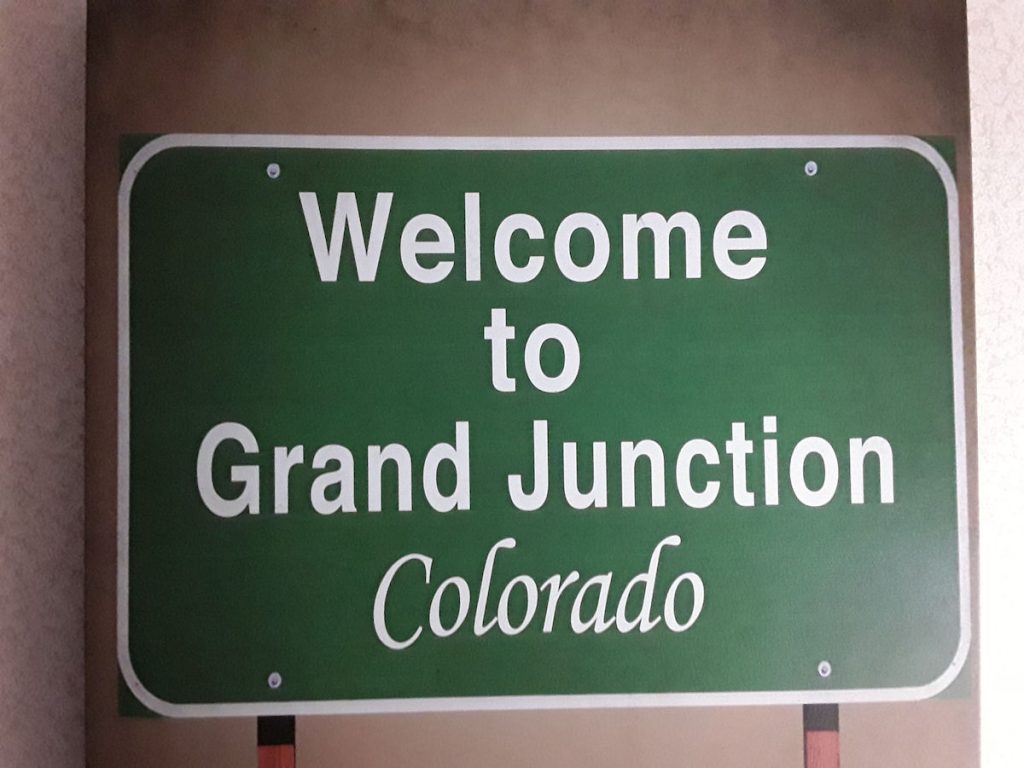
Well, it’s been an exciting day at Arches National Park, but we still have over 120 miles

to go to the hotel in Grand Junction, Colorado. The scenery isn’t over yet, though! 

Descending from Arches NP to Moab and the Colorado River.
Nearing the Visitor Center and the park exit.
Same view as when we came in, except now we are heading out.  (Looking south into Moab)
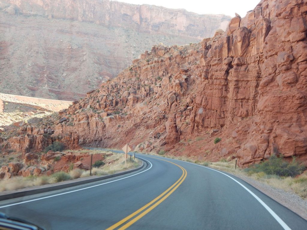
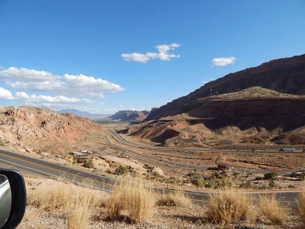
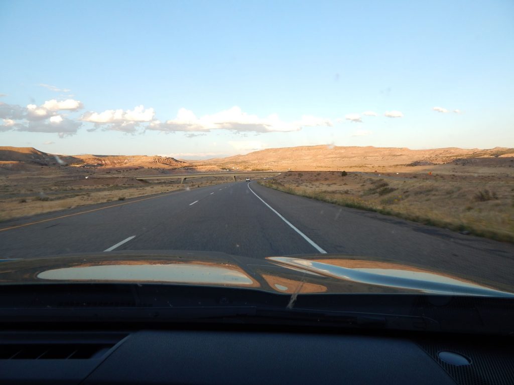
We will go down the valley and turn left (east) and follow the Colorado River to…..   Colorado!
At Moab, we turned northeast on Rt 128 and began to follow the Colorado River for the next 25-30 miles.
The Colorado River briefly hides behind some trees to the left.
The Colorado River (to the left) winds its way through this red rock canyon with tall cliffs on either side.
The photos cannot convey the distances and the height of these cliffs.
A little bit of sunlight breaks through as the narrow canyon opens up into valleys and fields briefly.
There were a few breaks when the road crossed a large valley.  (Rt 128 just south of I-70)
New sights around every corner.
As we get within about 10 miles of I-70, the landscape starts to open up more and more.
There are still some interesting rock formations.  We’re just on sensory overload from being in Arches NP all day!
Some old-time machinery along the road.
As we approach I-70, the large rock formations give way to rolling hills and farmland.
Getting back on the Interstate for the final leg of today’s journey to Grand Junction, Colorado. 
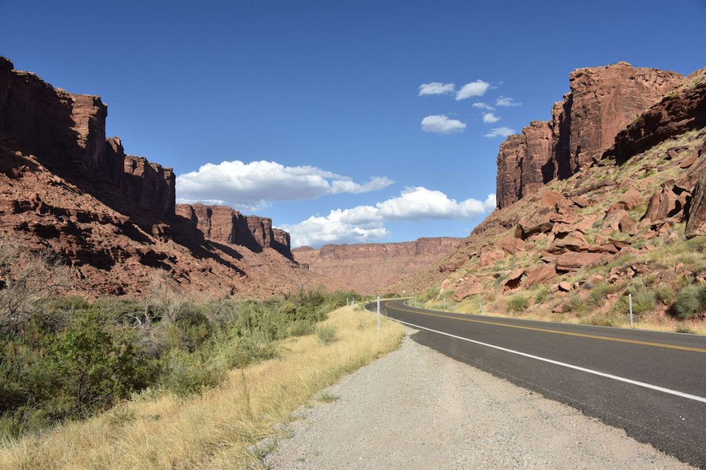
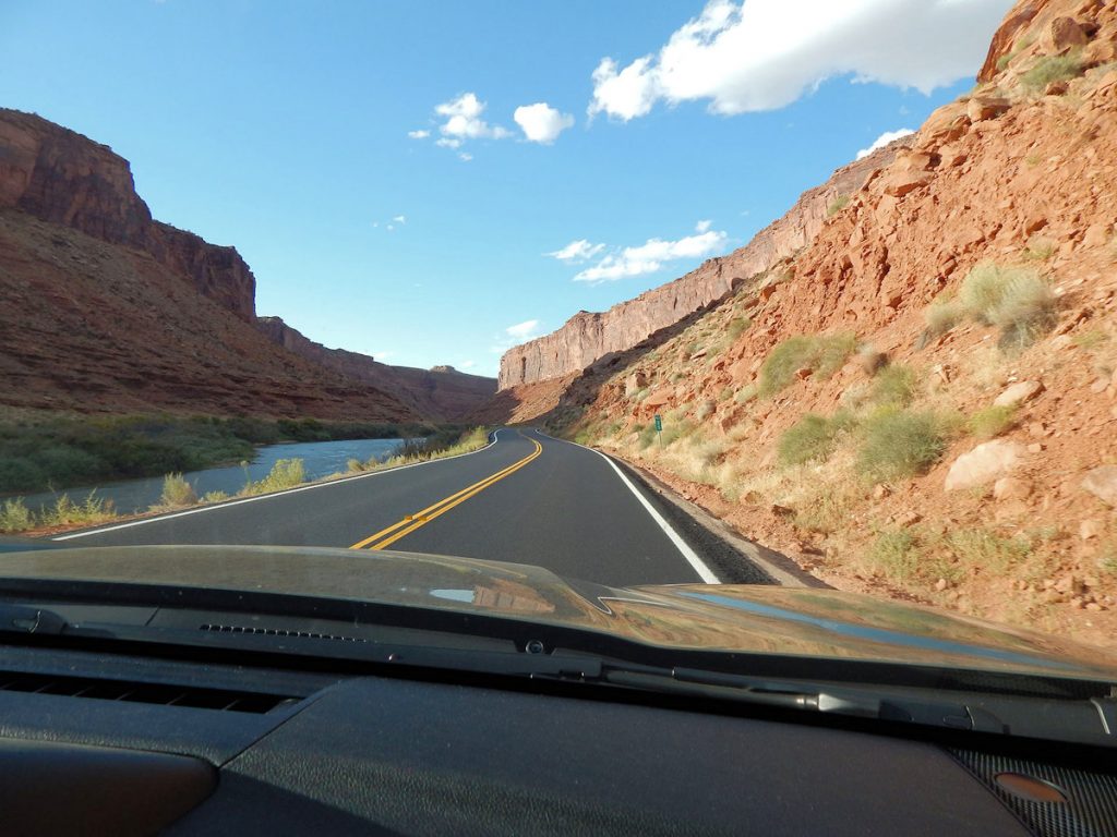
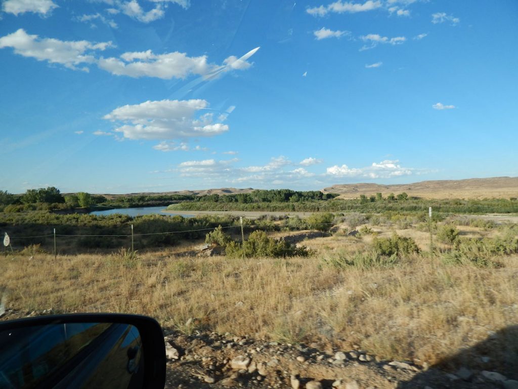
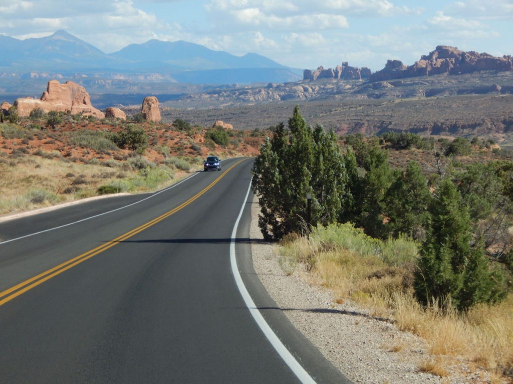
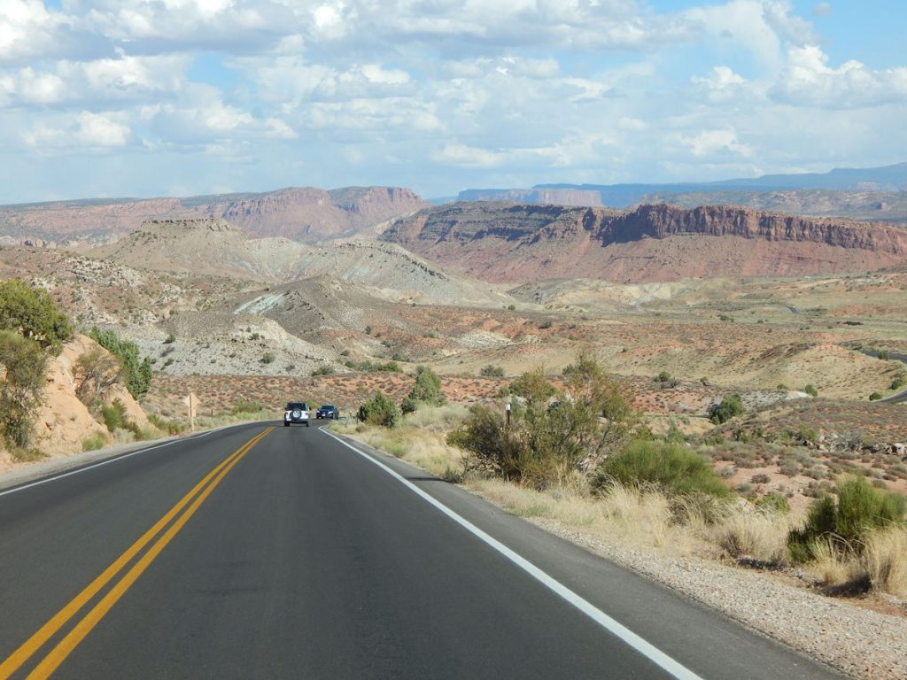
It’s all eastbound from here!
We’ve seen a lot of Utah the past week.  (Zion, Kanab, Arches NP, and now farmland) 
Hello, Colorado!  (For the 3rd time)
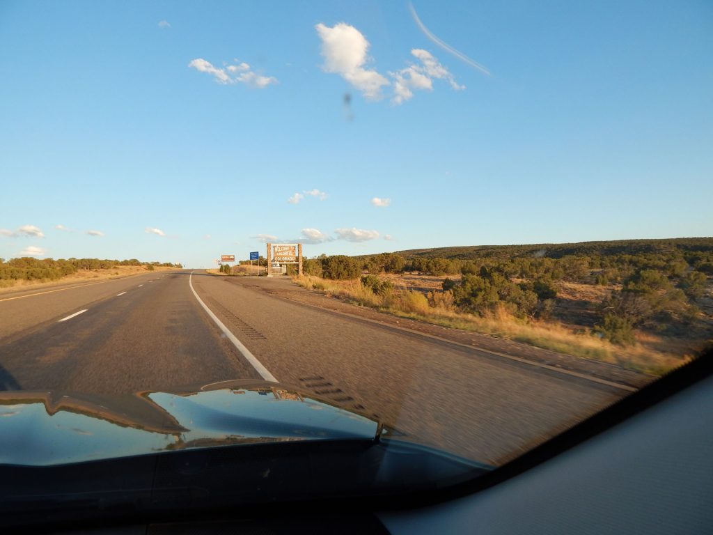
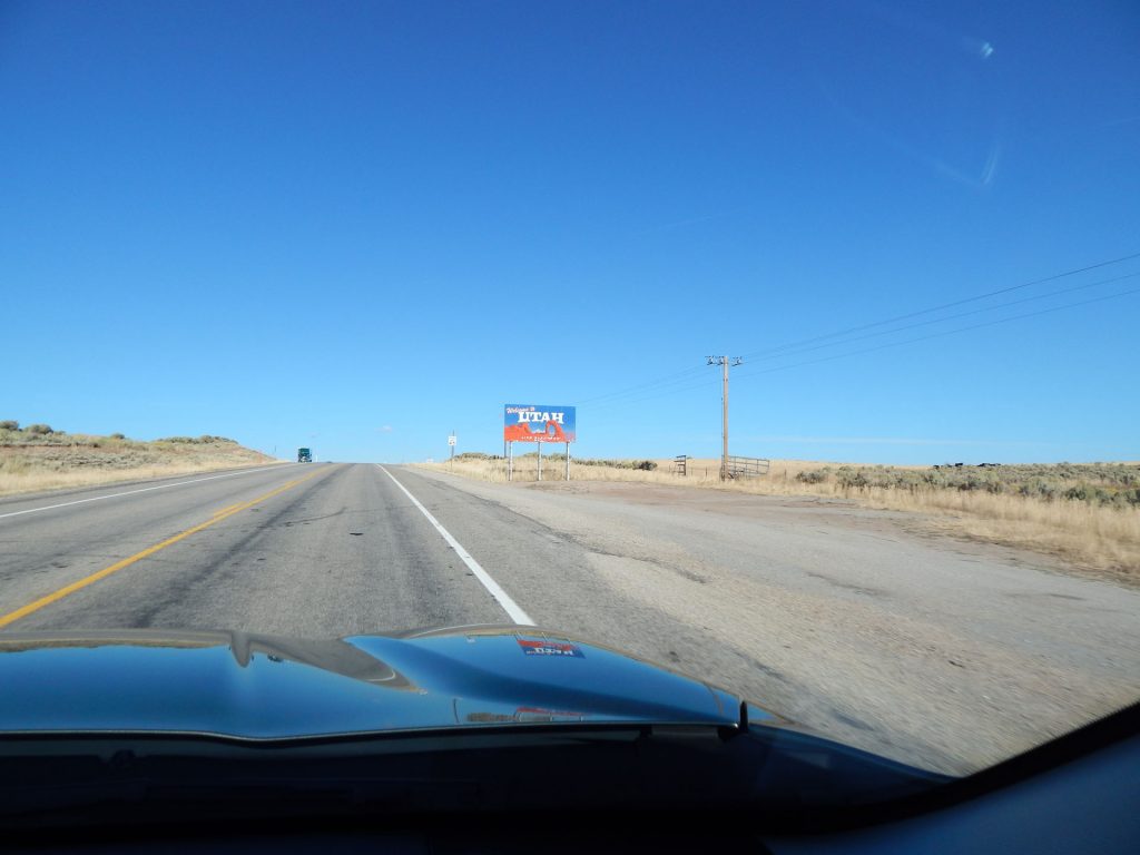
Goodbye, Utah!  (For the 4th – and last – time)
We have climbed from 4,000-feet elevation in Moab to 4,700-feet elevation here at the CO border. 
This is quite different from the southwest corner of Colorado farmland we saw yesterday.
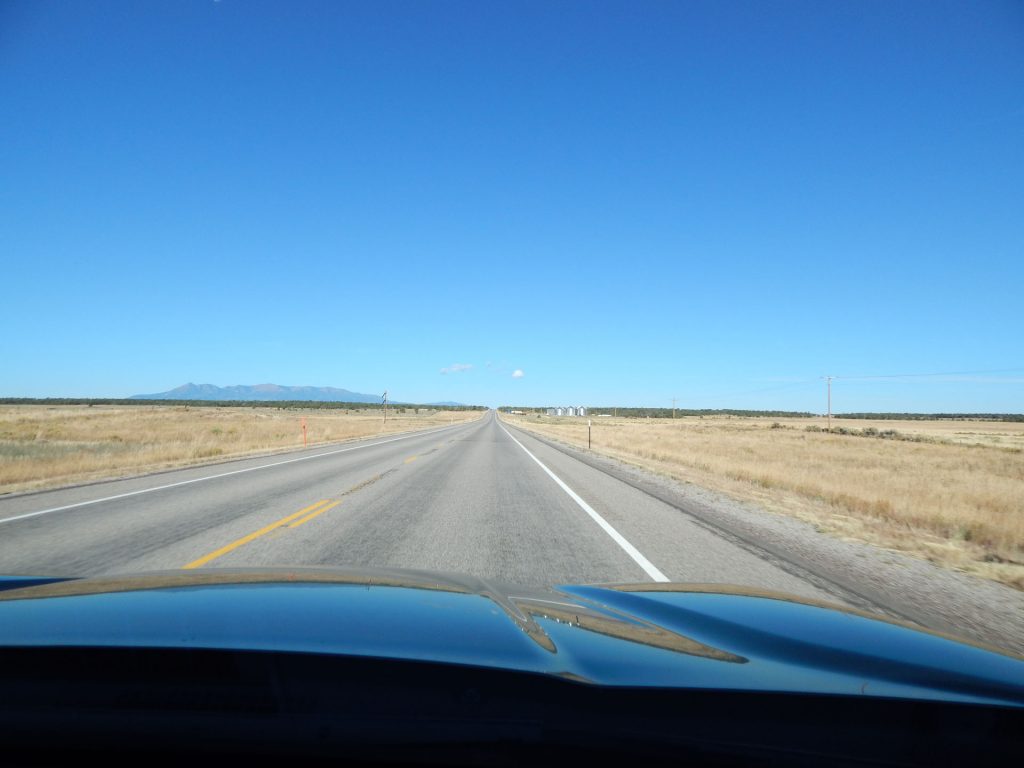
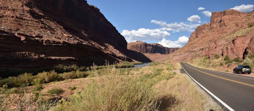
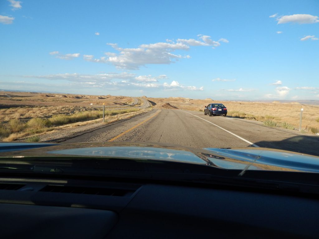
And it’s still not the Colorado I envisioned –  tall mountains and forests. 
I’ll get my wish tomorrow, though, as we drive across Colorado and visit Rocky Mountain National Park.
Beautiful mountains in the distance.   (I-70 eastbound, about 10 miles from Grand Junction)
Nearing our stop for tonight – Grand Junction, Colorado. 
It’s been a long day – 300 miles and lots of sightseeing.  We’re ready to eat and sleep.
(And clean bugs off the windshield)
Grand Junction!  The end of another great day!

Thanks for joining us today exploring Arches National Park.

We hope you can join us tomorrow as we drive across Colorado and explore Rocky Mountain National Park.

We are also stopping in Loveland CO tomorrow to visit relatives. 

Mileage Today:  307 Miles

Trip Total:   4,439 Miles

PROCEED TO DAYS 20-21 : CROSSING COLORADO TO ROCKY MOUNTAIN NATIONAL PARK AND LOVELAND, CO

RETURN TO SOUTHWEST MASTER INDEX