Southwest – Day 7

Phone Home (Roswell)

Southwest USA

Retirement Trip

September 2019

29 Days – 6,500 Miles – 19 States

7 National Parks – Several State Parks

6,000+ Photos

1 Trillion Insects Squished by Windshield

 From 108 Degrees to Snow

282 Feet Below Sea Level to 12,000+ Feet

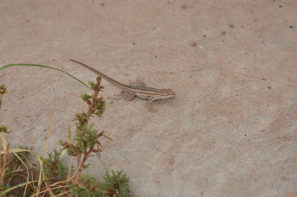
Bison, Elk, Prairie Dogs, Lizards, Wild Horses

Elvis, Aliens, John Wayne Westerns

Walking In The Footsteps of Forrest Gump

And More!

Endless Straightaways in New Mexico
Cannon Air Force Base, New Mexico to Socorro, New Mexico

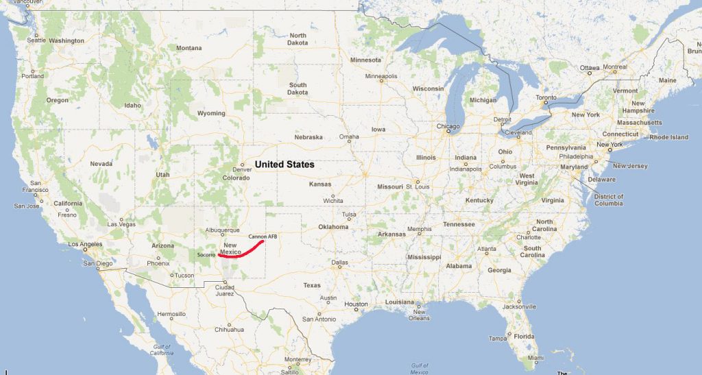
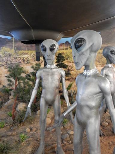
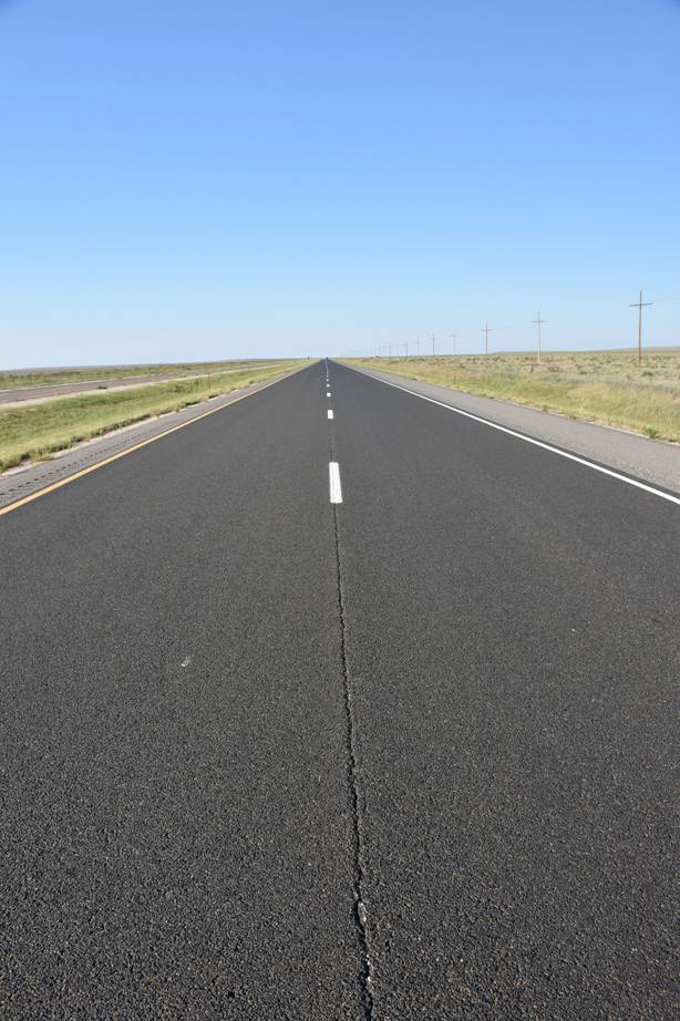
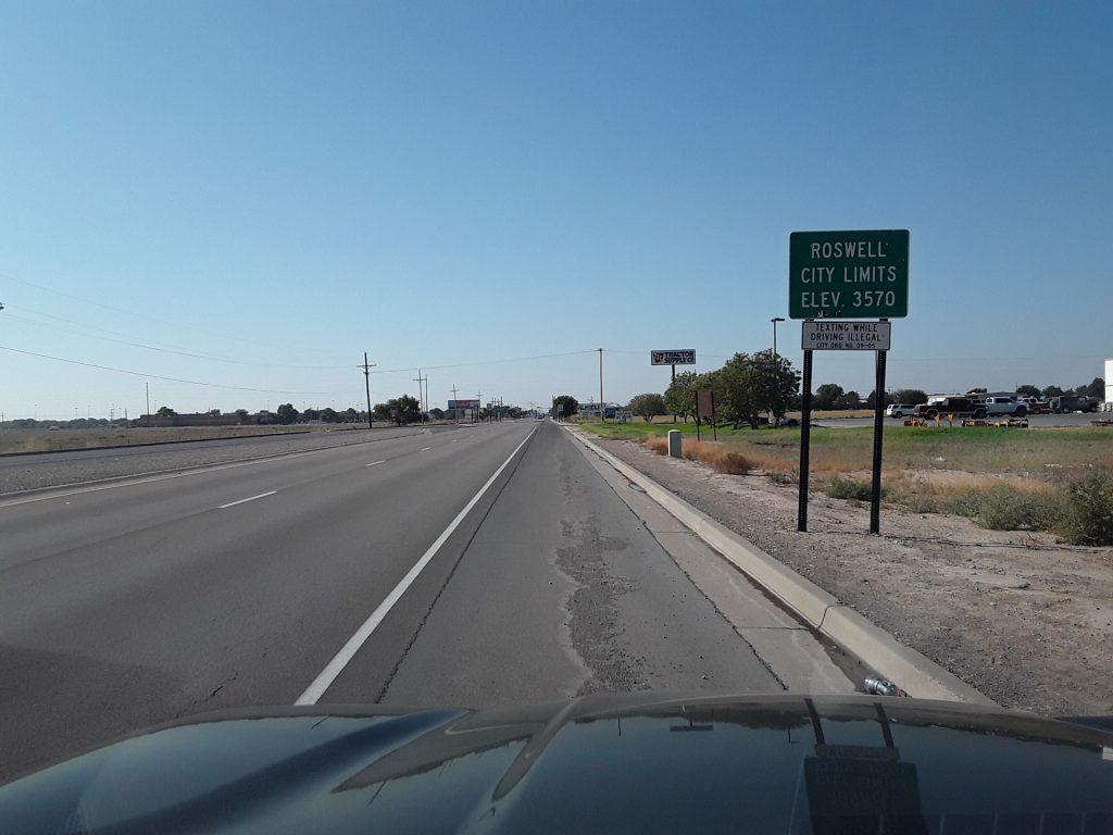
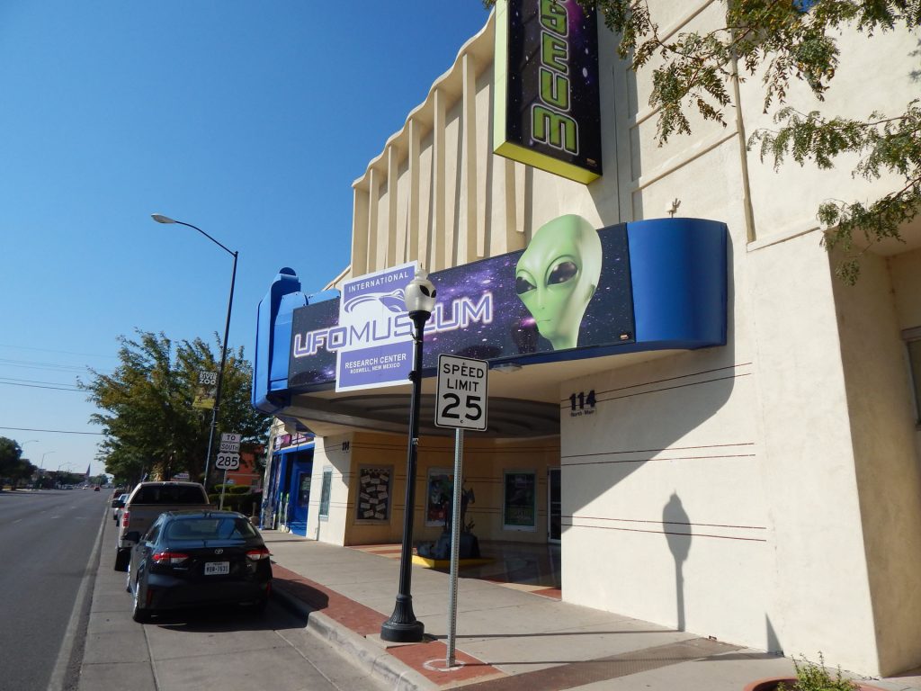
After a good night’s sleep at Cannon AFB, it was time to head southwest to the alien capital of the world, Roswell, New Mexico.

It is famous for being the location of an alleged UFO crash in 1947 that was hidden by the US government.  To this day,

there are many people who still believe the crash actually happened and that we still have the UFO evidence hidden away.

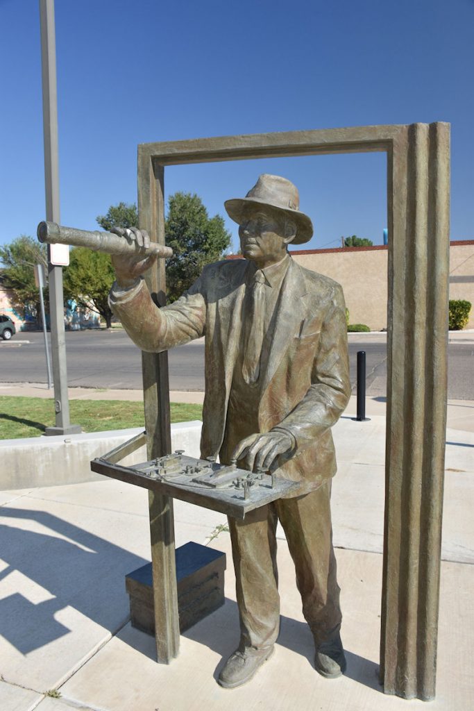
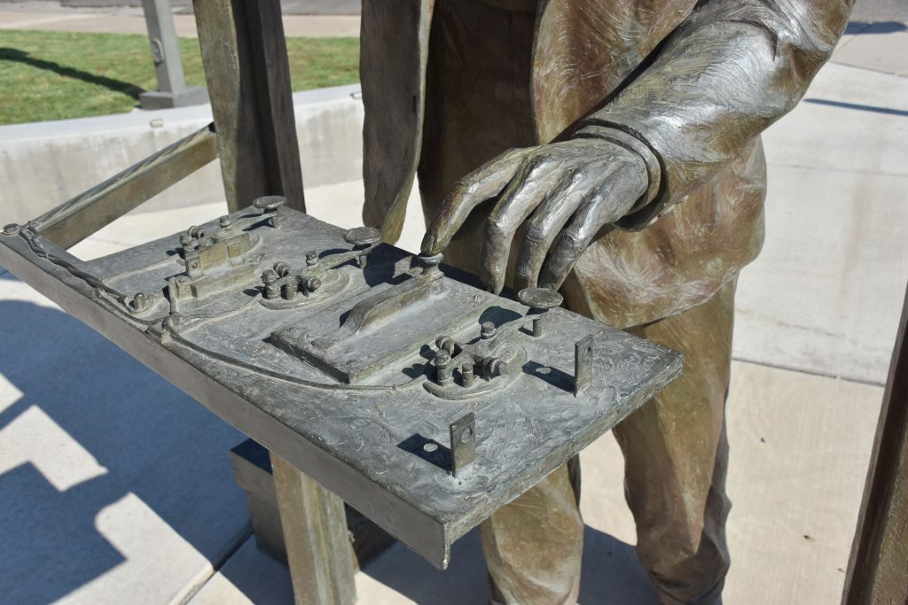
Lesser known is the fact that Roswell was the center of Robert Goddard’s rocket experiments in the 1930s. 


As we started south from Clovis, we starting seeing several of these old windmills used to pump water up to the cattle. This scene probably hasn’t changed much in the past 100 years. 
The scenery didn’t change much over the next hour
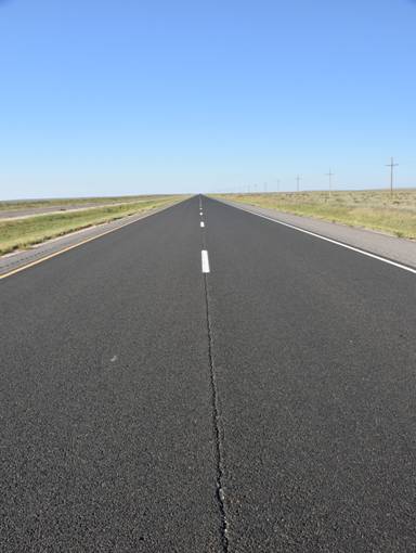
as we headed to Roswell.
Welcome to Roswell.  Watch out for Aliens  (the outer space type).
Even Dunkin’ Donuts had an alien theme.
As you enter town, a tall structure grabs your attention.
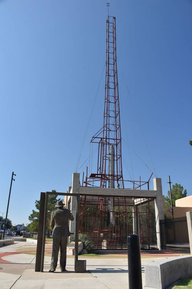
I’m glad we stopped, as it turned out to be a memorial to Dr Robert Goddard, one of the pioneers of rocket flight.
Dr Robert Goddard was credited with building the first liquid-fueled rocket in the world in 1926. He also patented the concept of a multi-stage rocket, still used today in space flight.
Rather crude launch controls compared to the control rooms of today. 
 
Plaque at the tower.
His actual launch tower.  
 
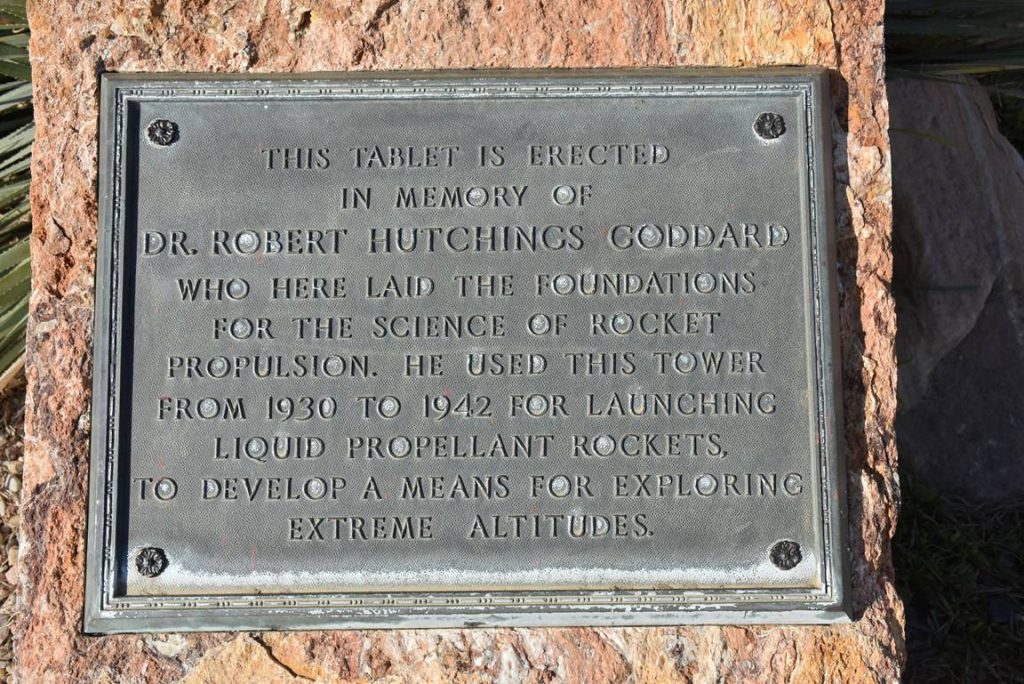
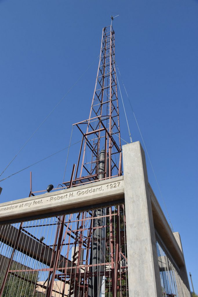
The inscription around the tower reads:
 
As I looked toward the fields to the east, I imagined how wonderful it would be to make some device which had even the possibility
of ascending to Mars, and how it would look on a small scale, if sent up from the meadow at my feet.  Robert H. Goddard, 1927. 
 
To read more about this man who ushered in the space age:   https://en.wikipedia.org/wiki/Robert_H._Goddard 
 
 
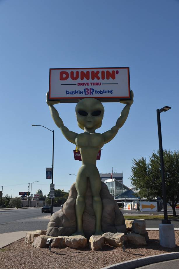
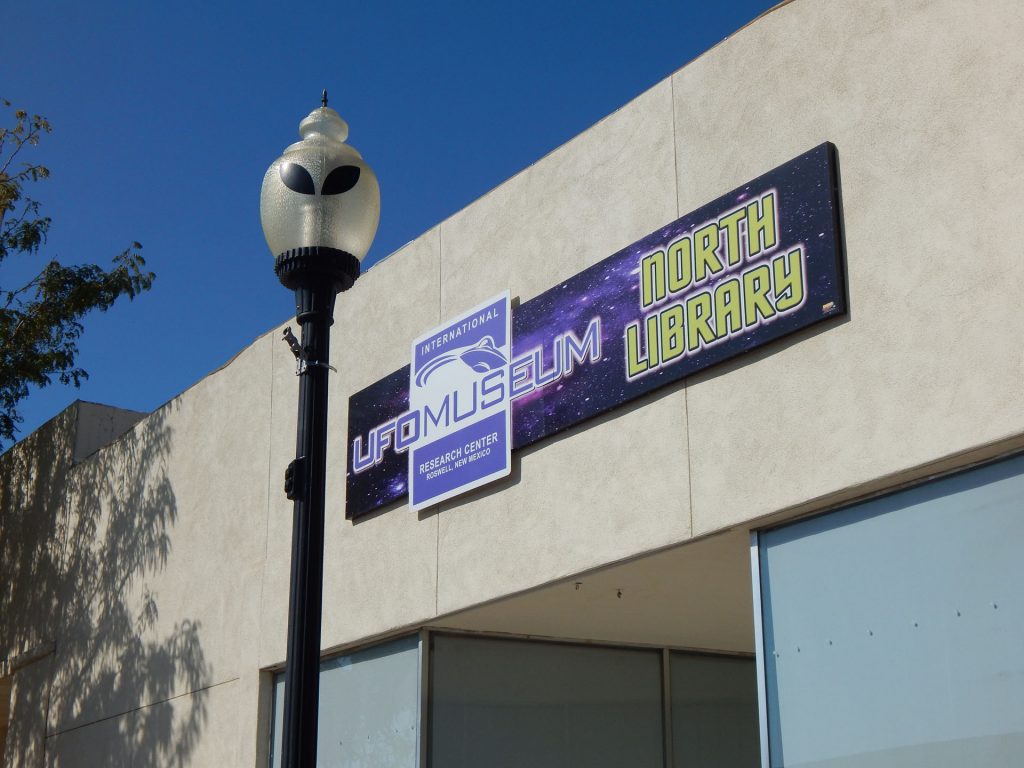
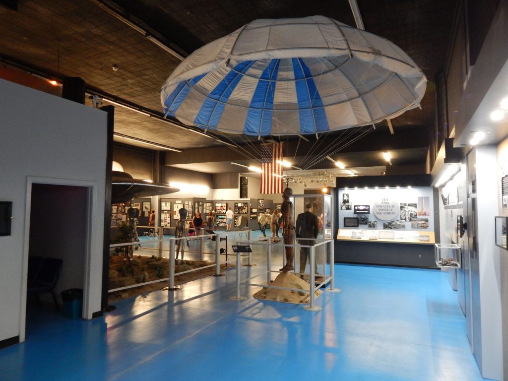
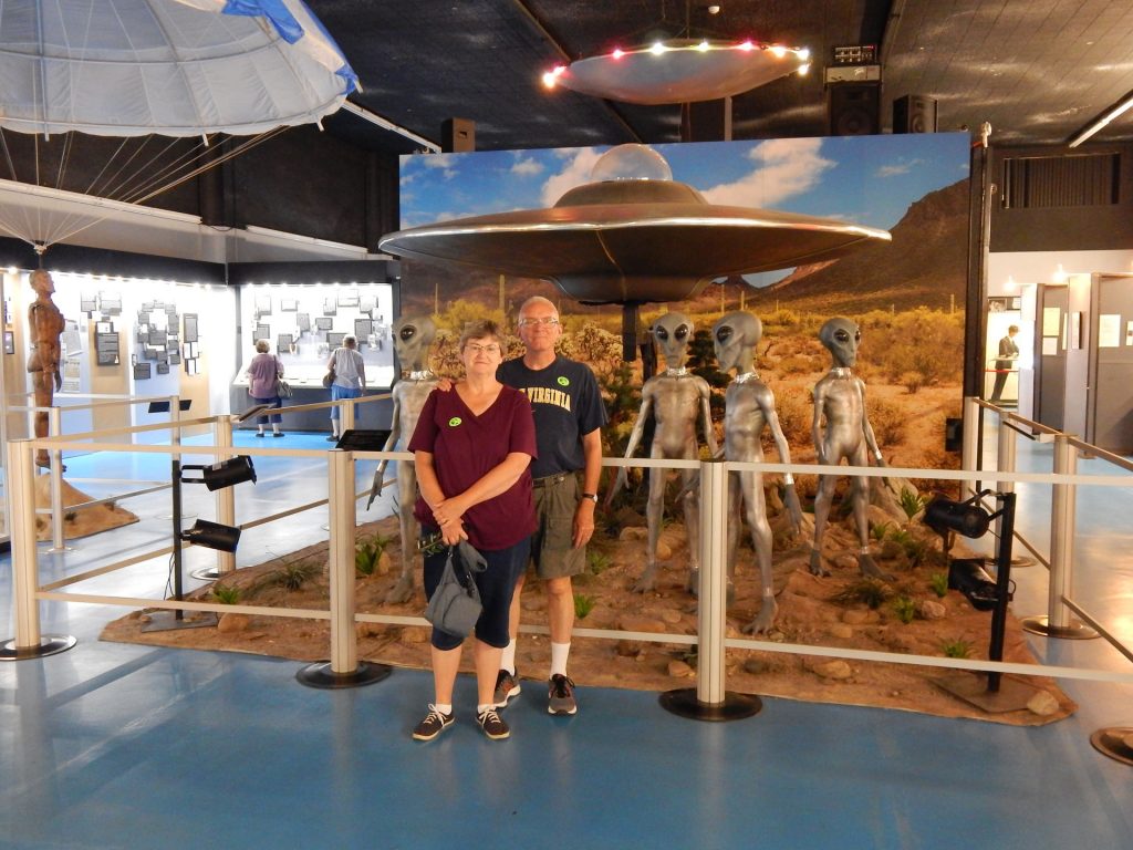
Next, we continued a few blocks south into downtown Roswell.
The 2 or 3 blocks just south of the court house are the center of the Alien/UFO tourist area.
Even the streetlights follow the Alien motif.
There were literally hundreds of UFO shirts to choose from.  I passed.
What???   Everything from the unbelievable to the unimaginable.
You can’t stop at Roswell and not visit the International UFO Museum and Research Center! 
 
Lots of displays in the museum, including old newspaper clippings and artifacts.
These guys were curious and started asking questions when Beth and I stopped for a photo. 

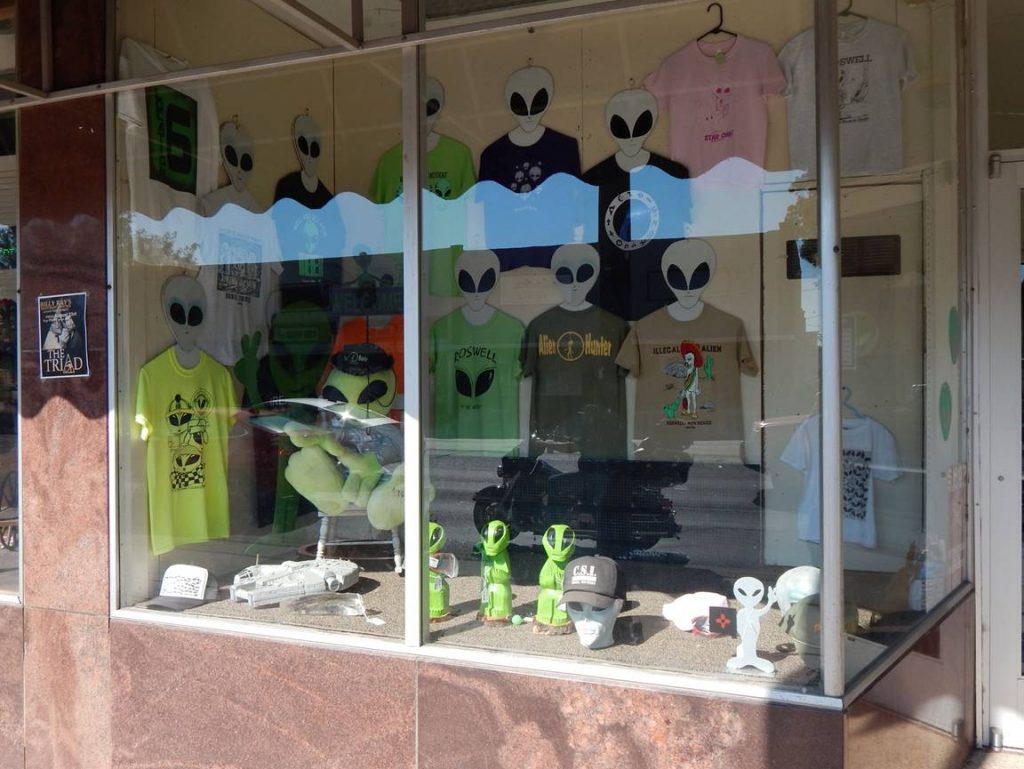
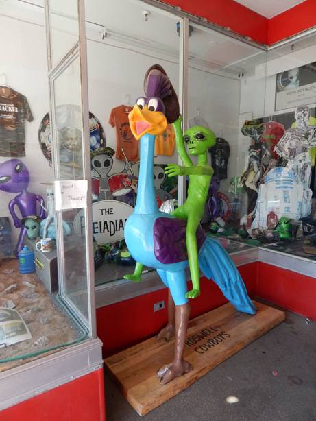
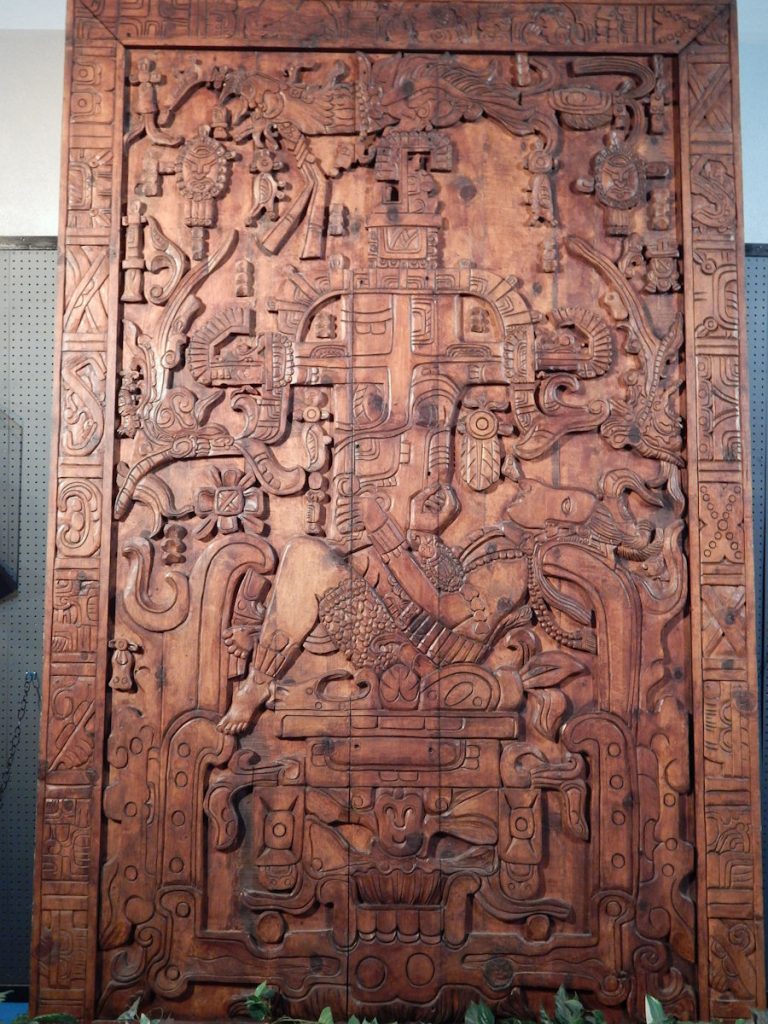
One of the displays shows a tomb-lid from 400-600AD with Alien/UFO references.  Hmmm…

After picking up a few souvenirs at the gift shop, it was time to rejoin civilization and continue westward.

Near the courthouse in Roswell is this statue of John Simpson Chisum,
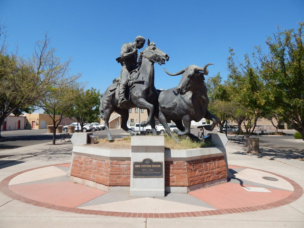
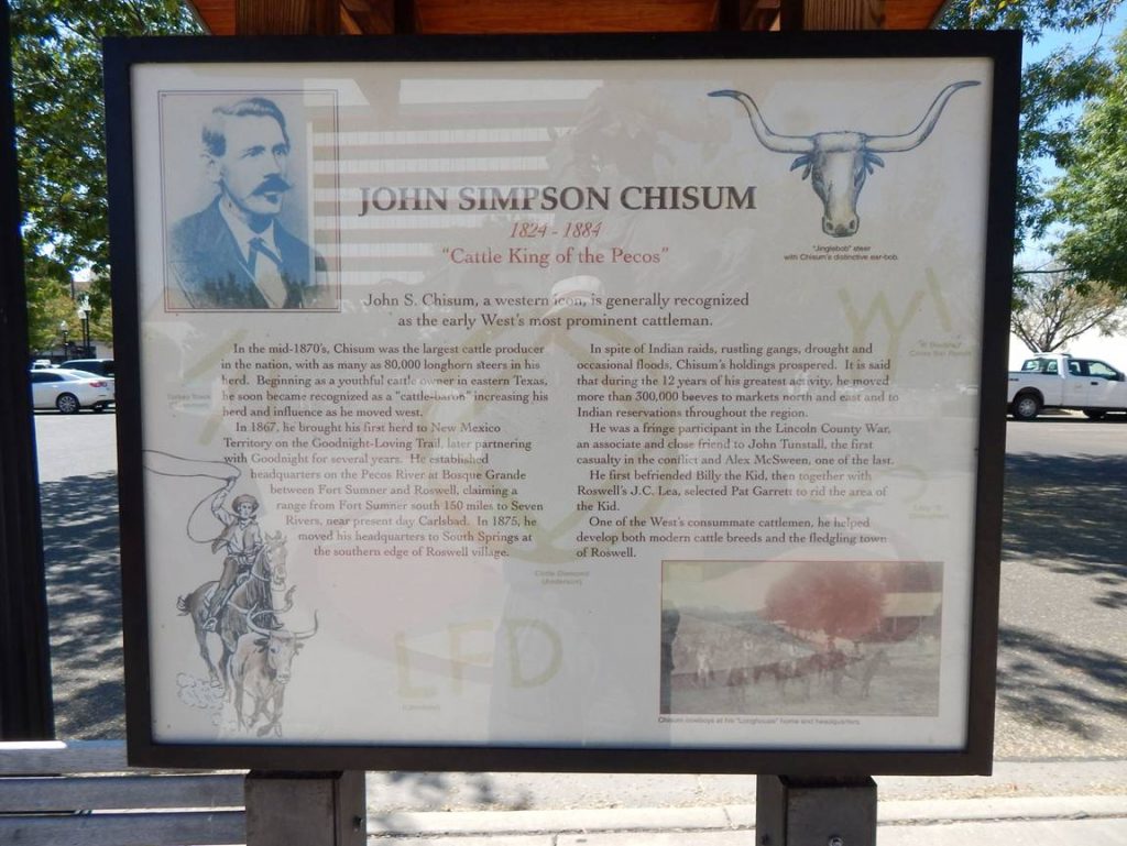
the “Cattle King of the Pecos”.  (See next photo)
More information on John Simpson Chisum.
Since we were in New Mexico, we figured the Mexican Restaurant on the corner would be a good choice. Once again, we were right.  
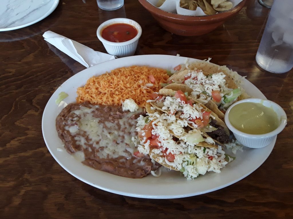
(Warning – go VERY easy on the yellow sauce!  Just a drop brought tears to my eyes.)
After we left Roswell, we could definitely tell we were in the southwest. 
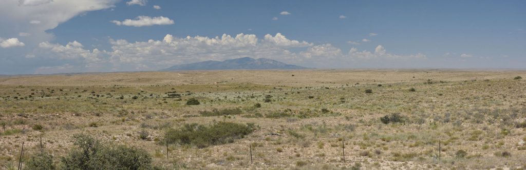
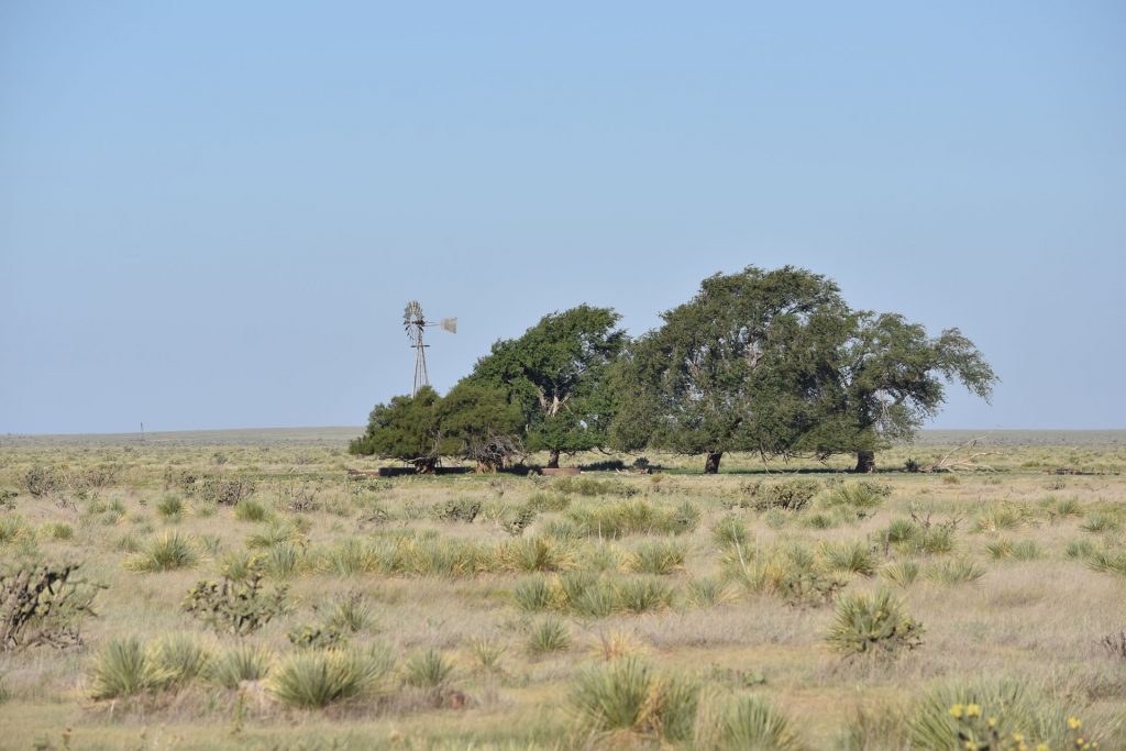
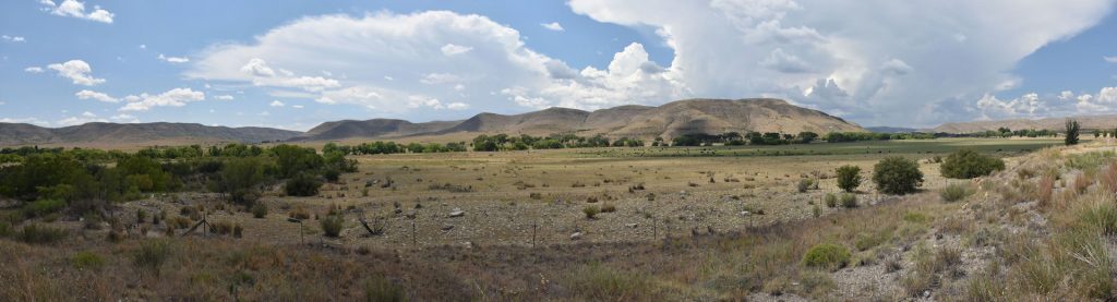
Occasionally, we would see a small herd of cattle grazing in the distance.
Occasionally, there would be an “oasis” of green along a river or creek.
As we passed through the Capitan Mountains, we stopped at the historic old town of Lincoln, NM.
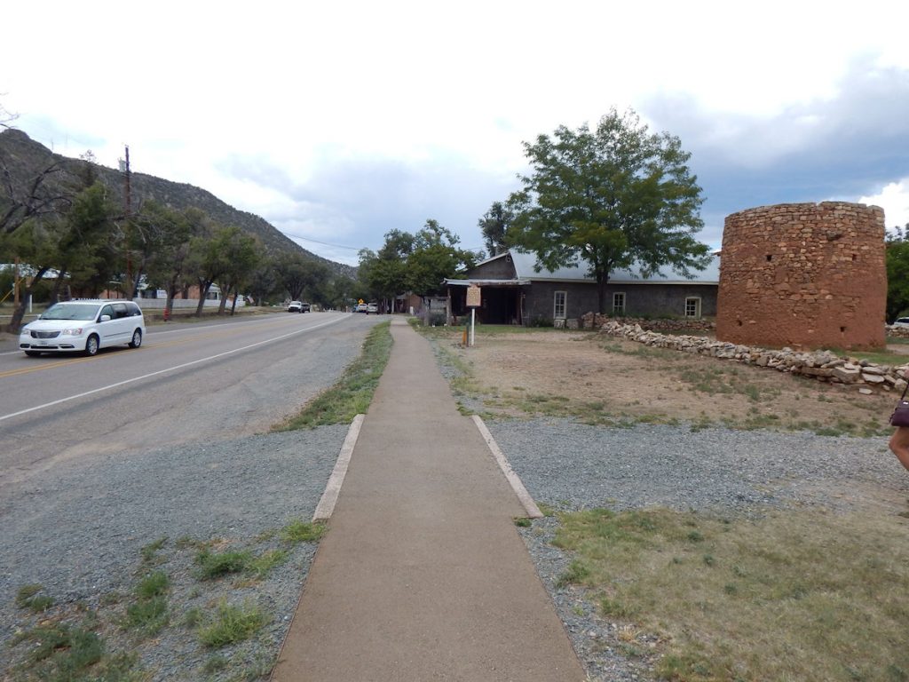
Such famous western people as Pat Garrett and Billy the Kid frequented this town. 
This sign describes the round structure in the photo above.
Historical marker in Lincoln. 
 
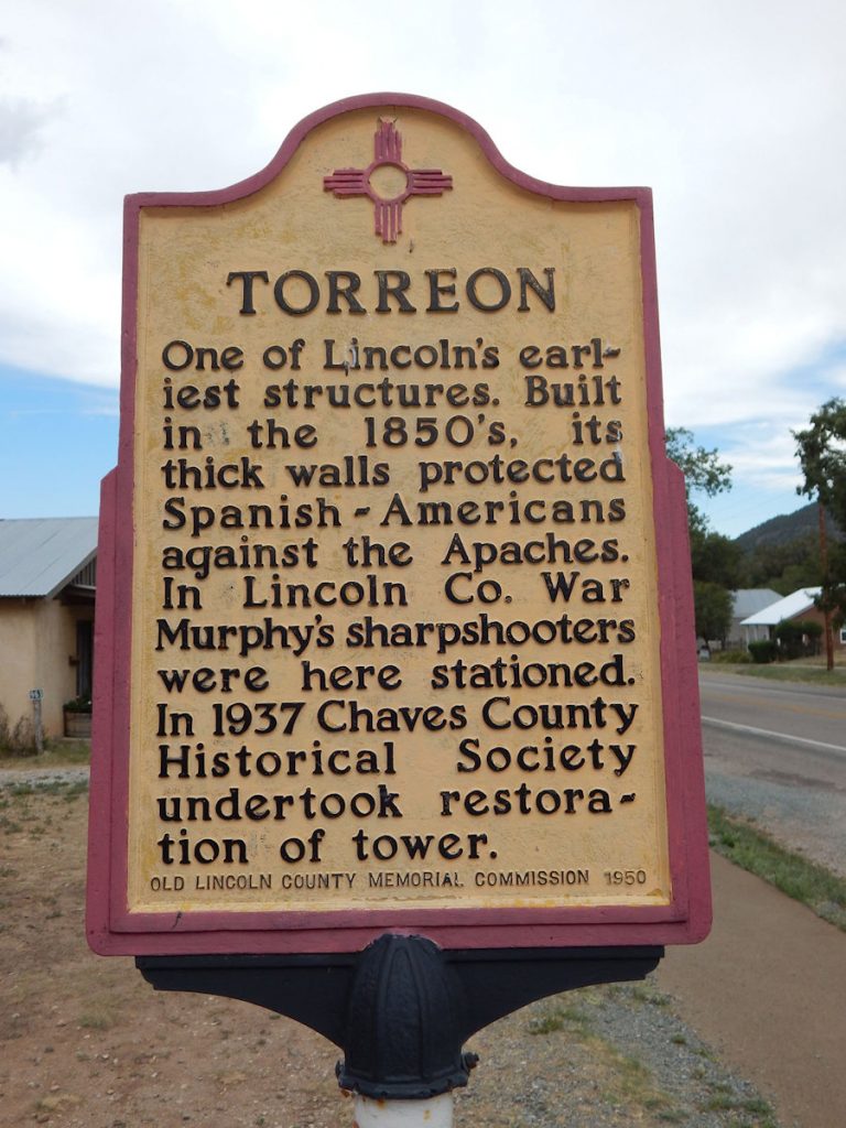
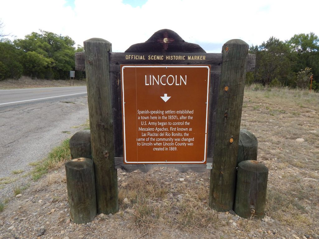
For more information on Lincoln NM:  https://en.wikipedia.org/wiki/Lincoln,_New_Mexico 
As we were driving along about an hour west of Roswell, the surrounding landscape suddenly changed.
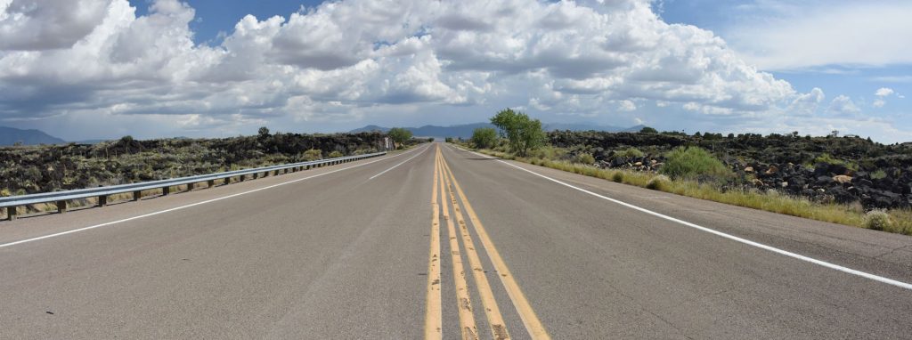
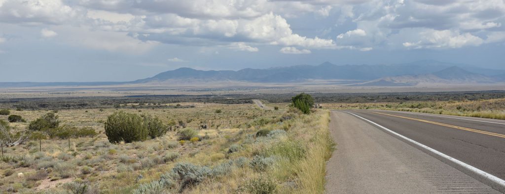
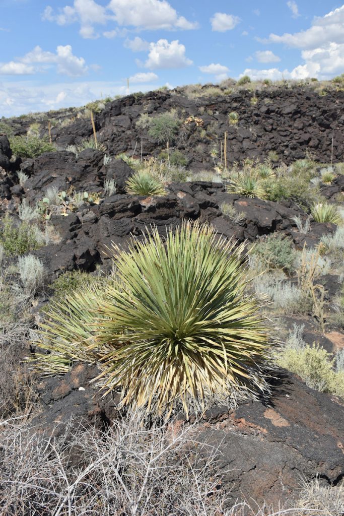
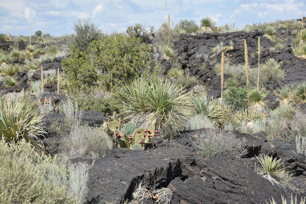
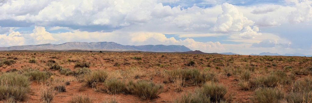
Known as the Valley of Fires, it is a lava flow from appx 5,000 years ago.  The proper name is Carrizozo Malpais.
It extends about 40 miles north and south, and is just a few miles wide. 
In this view from a slightly elevated position, you can see the “river of lava” flowing from the left to right across the valley floor.
The lava is very fertile ground, so there was an abundance of flowers and plants in that area. 
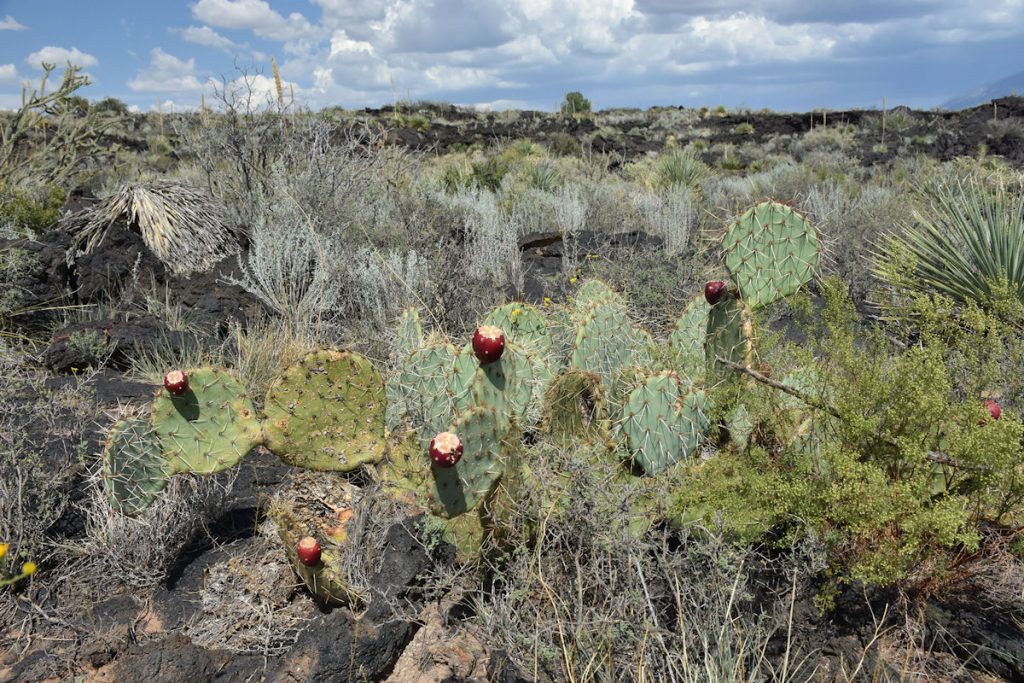
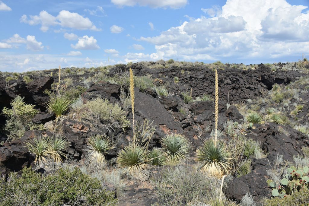
Notice the black volcanic soil.
More plant life in the volcanic soil. 
This yucca plant seemed to be doing well in the volcanic soil. 
Close-up of the volcanic rocks and plants. 
 
For more information on Valley of Fires and Carrizoz Malpais:  https://en.wikipedia.org/wiki/Carrizozo_Malpais
 
Just 20 miles west of the Valley of Fires, we came across this sign marking one of the most significant events in history.
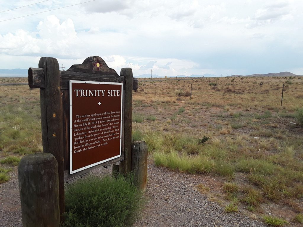
Just a few miles south of here, in 1945, Robert Oppenheimer and the members of the Manhattan Project detonated the world’s first nuclear bomb.
Just a month later, the US used atomic bombs on Japan to end WWII. 
Close-up of sign at the Trinity Site.
 
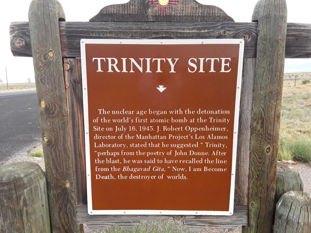
For more information on this historic site:  https://en.wikipedia.org/wiki/Trinity_(nuclear_test) 
  
Although the actual Trinity Site is only open to the public 2 weekends each year, we turned on to the road leading up to White Sands Missile Range which is adjacent to the site.  We wanted to see how close we could get to the Trinity Site before the black helicopters swooped in.
After a few miles, we could see the White Sands Missile Range facility ahead and decided this would be the closest photo we would take. We drove up to near the gate, and turned around.  
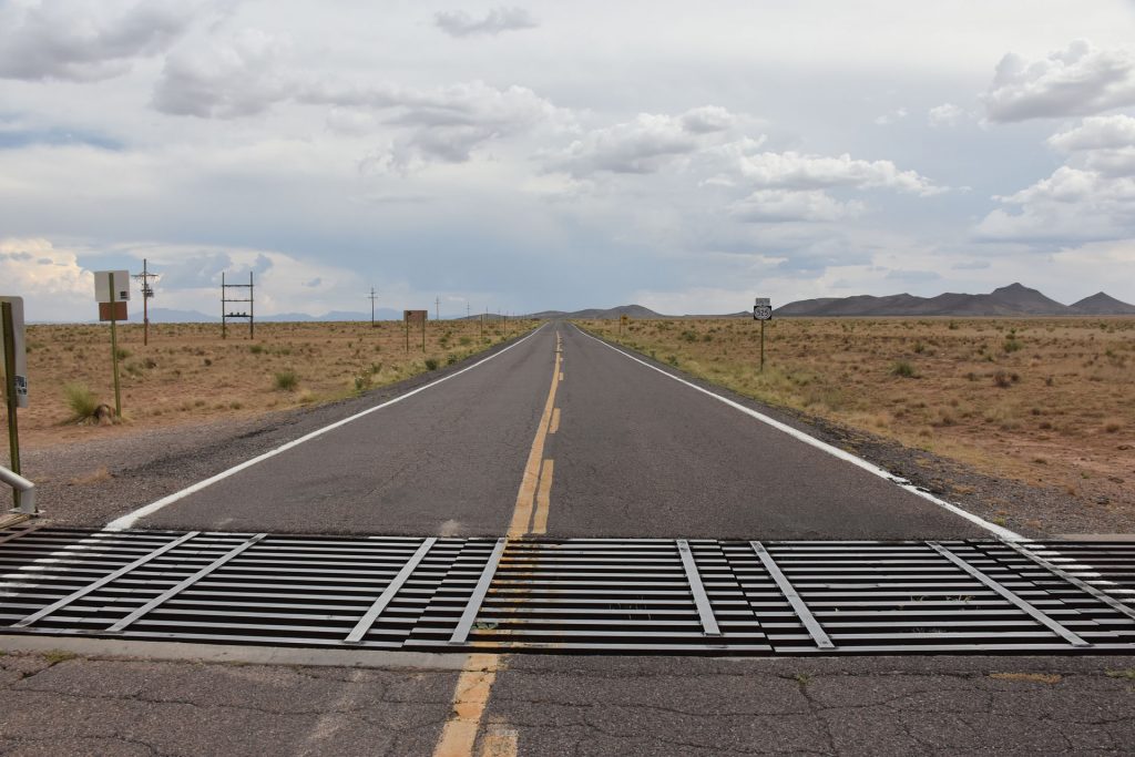
No black helicopters today.  Whew! 

As we approached Socorro, we were planning to take a scenic loop about 30 miles around the mountain into town.
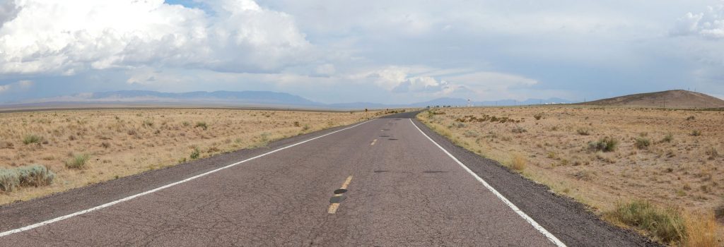
However, we discovered the road is dirt/clay, and there were thunderstorms and heavy rain off in the distance.
Not wanting to be stuck in mud 30 miles from the highway, we passed. 
We stopped at a roadside pullout to stretch our legs, and this little guy came over to investigate.  Only about 2 inches long.
Soon, the town of Socorro, NM was in view.  We are now about an hour south of Albuquerque. 
 
We checked into our hotel and drove down the street to a family steak house for another nice meal. Then, it was time to rest for tomorrow’s drive across the border into Arizona and our first National Park of this trip.

See you then!


Mileage Today:  287 Miles
Trip Total:   1,994 Miles